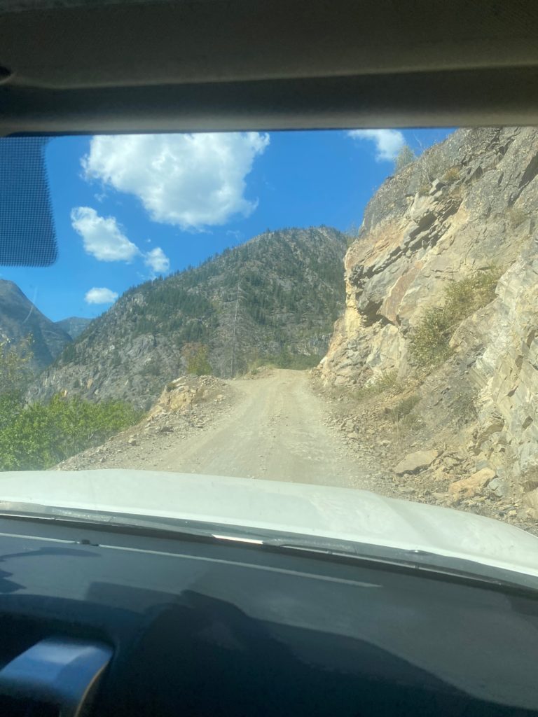
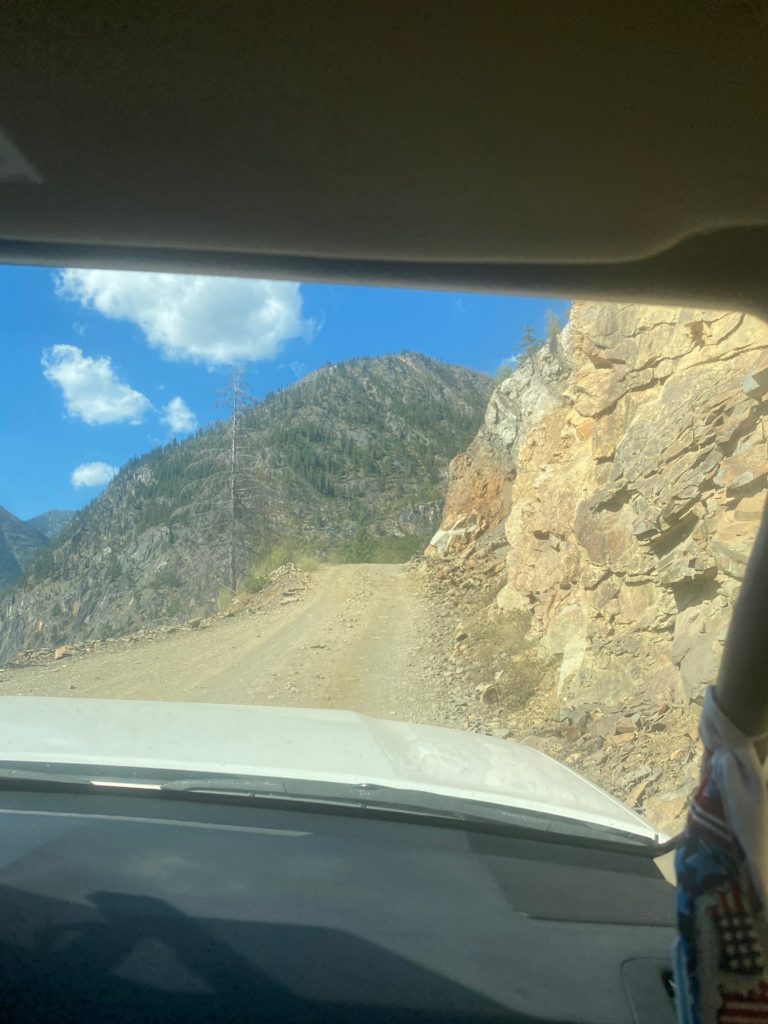
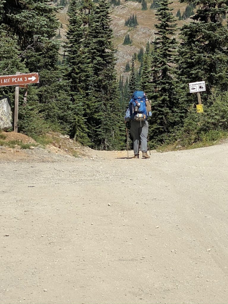
Time to get back on the trail and hopefully to the Canadian Border. The road up to Harts Pass is a 10 mile winding road that is very rough at times. For a half mile on the road it is only wide enough for one car with rocks on one side, shear drop-off on the other. The car coming down has to yield the right away. During the half mile there are probably 3 points where a car can pull over to the far right (coming down) and the car going up can get past. Stress filled 10 miles and particularly the narrow half mile.
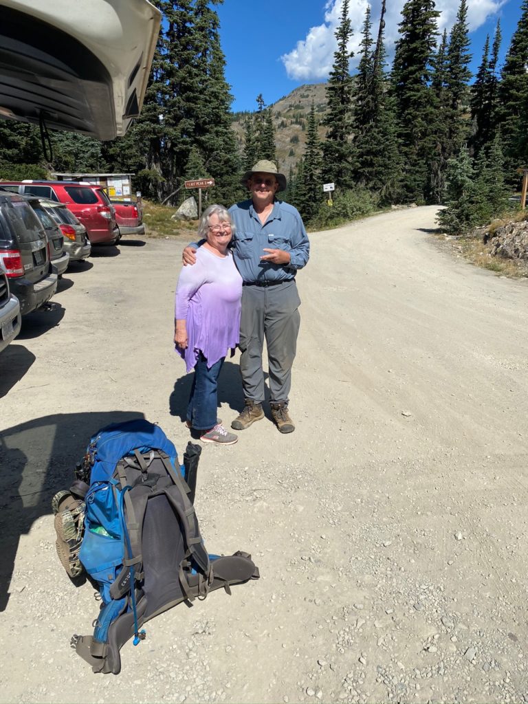
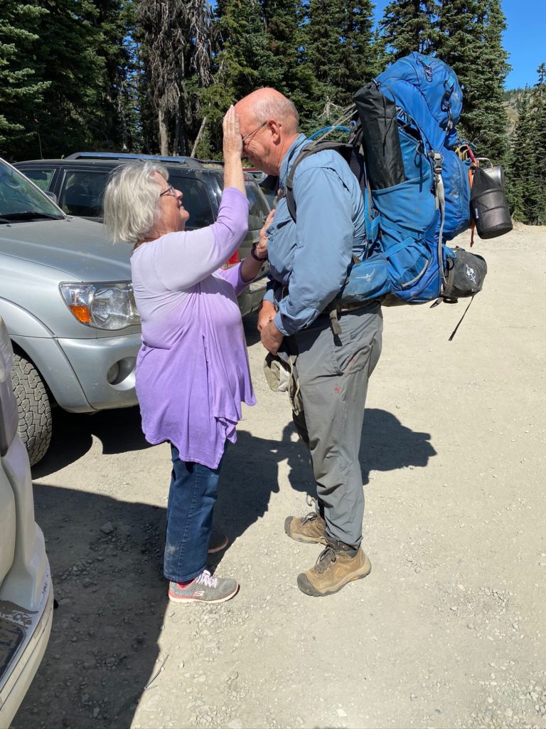
We reach Harts Pass around 11:30 and I get ready to go. Each time before I go on the trail, Lenora gives me a blessing. It is a very special time always makes me emotional but gives me confidence that I will be safe and make good decisions.
About .4 miles from Harts Pass there is both a beautiful little campsite and the stream that has a good flow. I don’t need either but it is a good way to start the hike. It is a beautiful day for hiking. Temperature is about 84 with a nice breeze. About a mile into the trail I get to a point where there is an option to continue to follow the PCT or to use the fire detour that was created for the 2018 file (one of the fires that took me off the trail that year). I have comments on Guthook (trail application I use) that indicate there is no need in 2020 to use the detour and in fact the detour trail has not been maintained. So I continue on the normal PCT Trail.
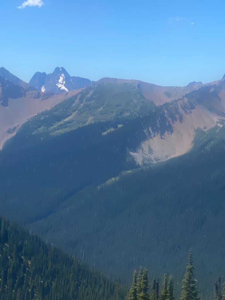
PCT 2623 to 2630. Looking across the valley to mountains 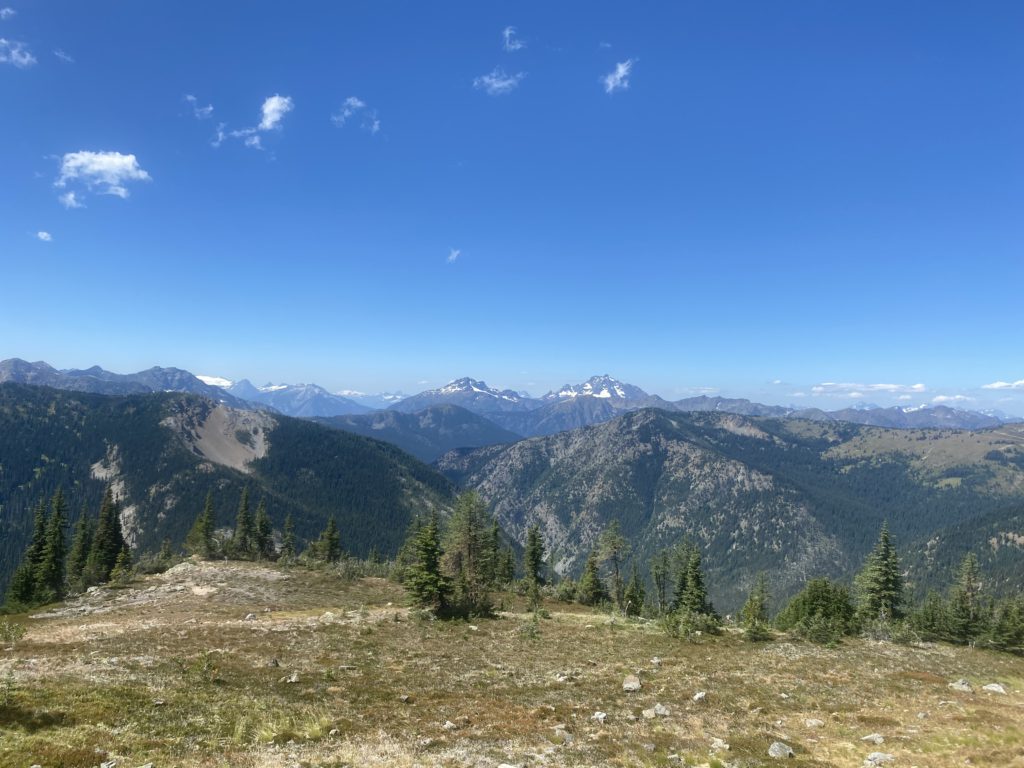
PCT 2623 to 2630. Majestic view
Harts Pass is a very popular spot and there are lots of local people out for a hike and some of them are setting up camping sites. Probably busy even without the fact that COVID has a lot of people not working and therefore recreating. The trail thus far has been nice.
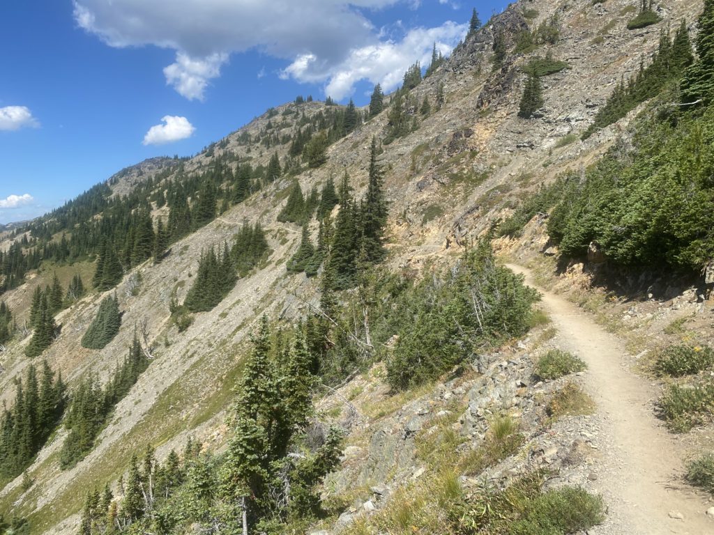
At about 1:10 I get to Windy Pass. Not particularly windy at the moment but there was a good breeze along the way.
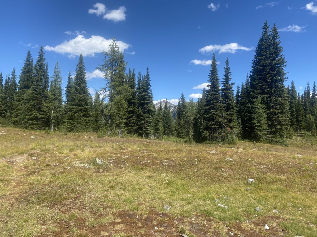
Too early to stop and I’m eyeing a camping site about 3 miles ahead. I cross a couple creeks before I get there and usually stop to take a drink with the Lifestraw. The Lifestraw is terrific as it allows me to just take a drink of water directly from the stream. That way I can save my bulk filtered water for camping needs.
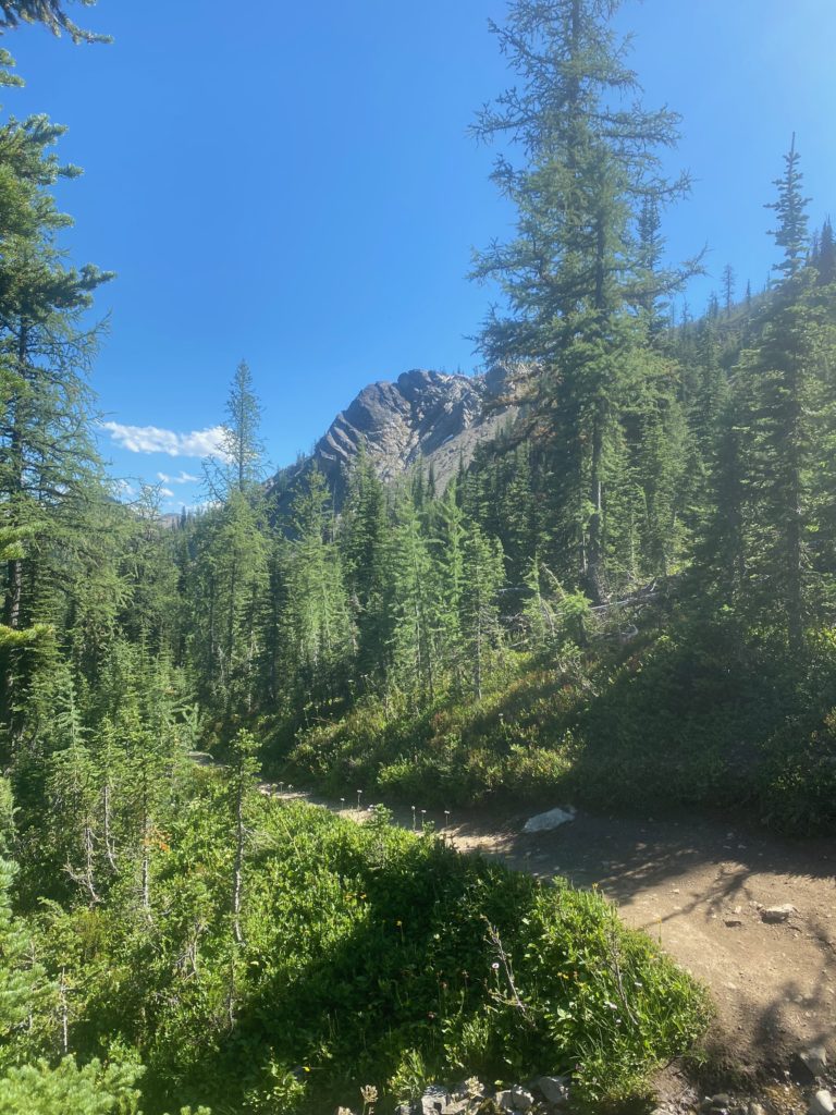
I stop around 5 pm and have done about 7 miles. Pretty easy day. The camp site is a little off the trail and I went past it just a bit before I realized I had past it up. Only had to backtrack less than a tenth of a mile to get to it. Nice level campsite with a stream running right past it.

PCT 2623 to 2630. Campsite by a stream 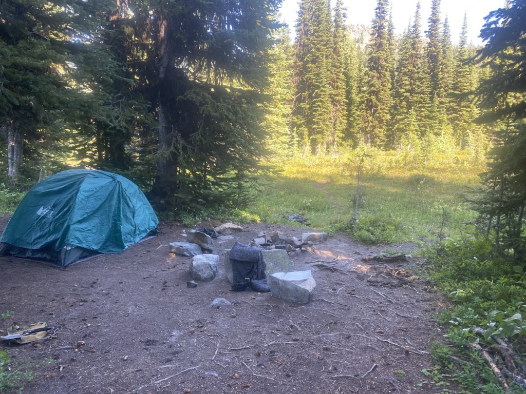
PCT 2623 to 2630. Campsite by a stream
- Miles: 8.7
- Steps: 22297
- PCT Mile: 2630
- Elevation: 6262
- Location: https://w3w.co/incurring.costume.helpfully
