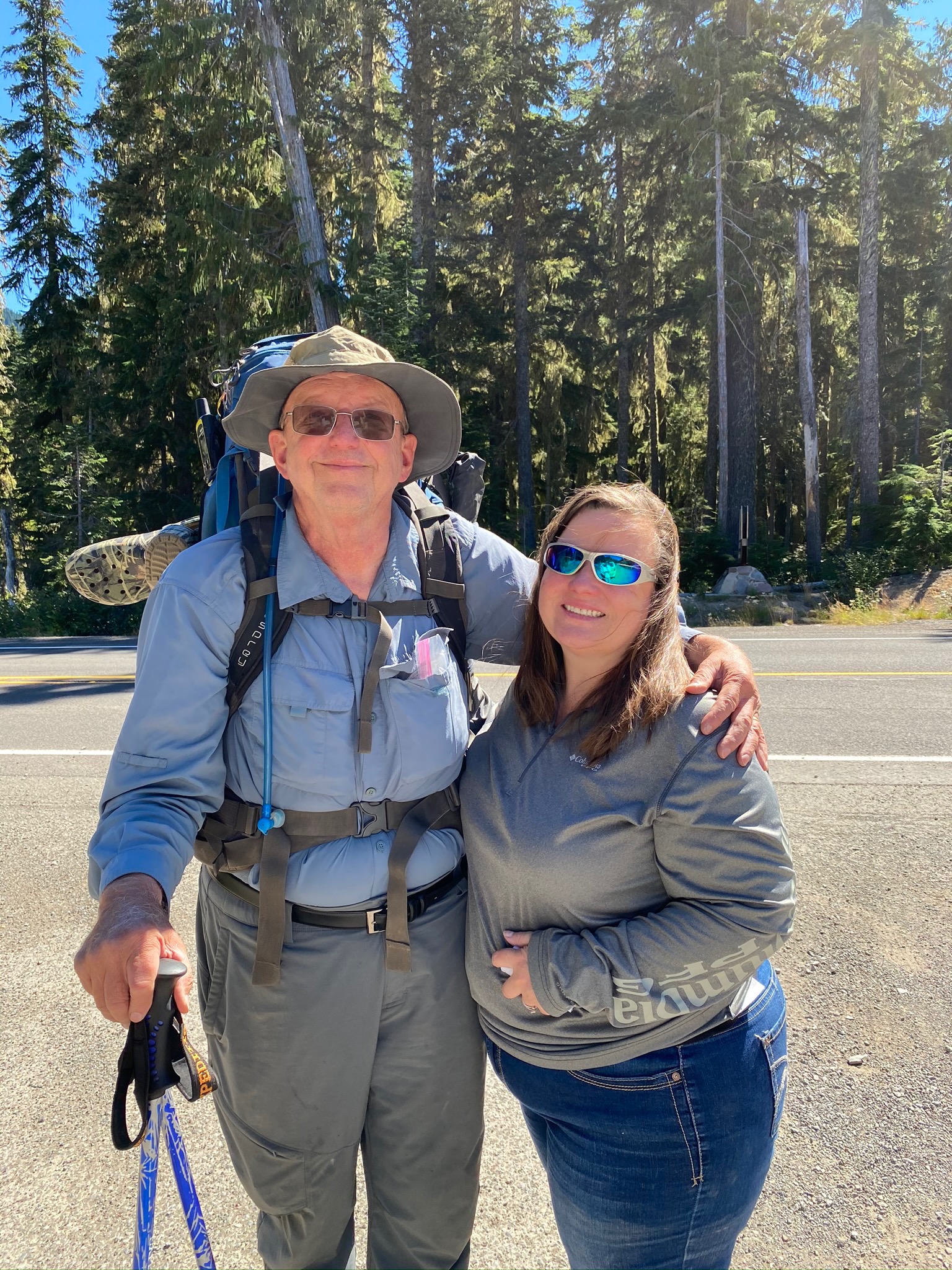
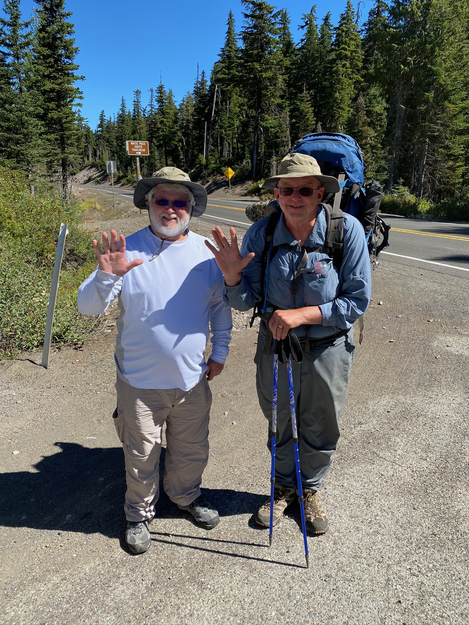
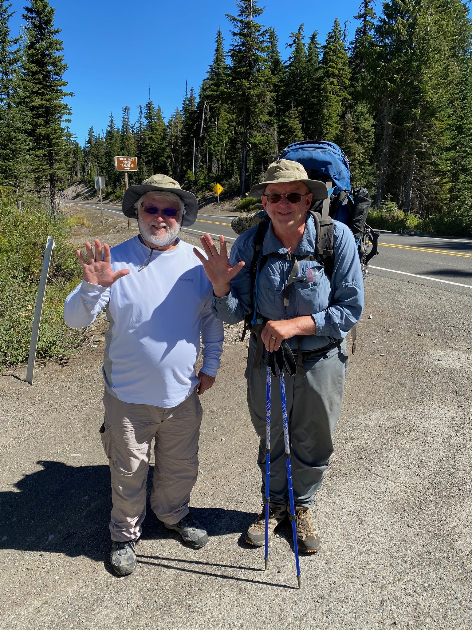
It is a 6 hour drive to get from Oroville (home base on the Candadian Border) to White Pass which will be my starting point. Plan is to head south to Trout Creek to complete that section of Washington. Early in the month I hiked from Bridge of the Gods (Oregon/Washington border) to Trout Creek.
I’m excited about this section because it contains the famous Knifes Edge in the Goat Rocks Wilderness which, as I understand it, is a very narrow strip of trail that falls off to oblivion on either side. When I was here in 2018 there was a fire in this area and although the trail was not closed there was a very long detour to avoid the fire area. I really had not studied the area until last night and after reading and watching videos on it (search for PCT Knifes Edge) I started to get a little nervous. I wasn’t so worried about the Knifes Edge itself but of the descriptions of the trail leading to the Knifes Edge. After the failure to get to Canada because of trail conditions, I am concerned.
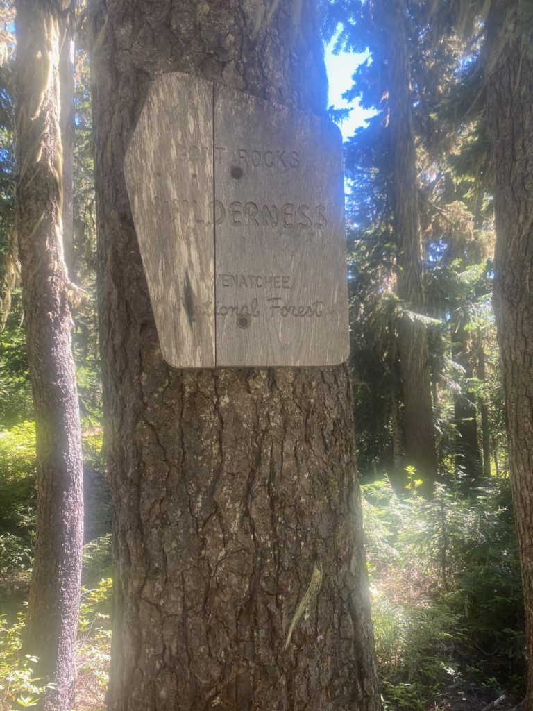
Almost immediately I get to a sign indicating that I am entering the Goat Rocks Wilderness. I am a little shocked because I figured that was a day ahead of me. Turns out I enter, exit, and will enter again. The PCT has about 31 miles of trail within the wilderness. Goat Rocks Wilderness is 108,024 acres in the Okanogan-Wenatchee National Forest.
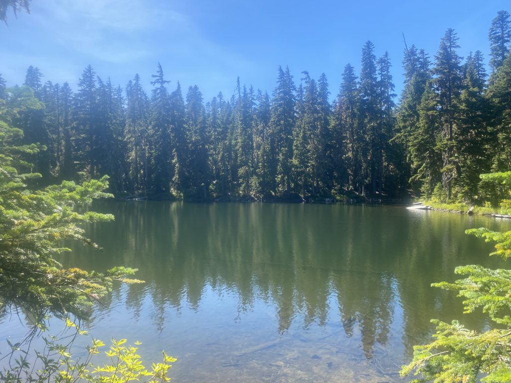
About this time I get to Ginnette Lake and decide to get some extra water. I saved 2 miles of carrying water by waiting till this point and the next water is in 8 miles, which is further that I am going today. White Pass is at 4400 feet and you climb your way out of White Pass to a flat area near the top of Hogback Mountain with a camping site at about 6300 feet.
I am seeing a number of day hikers coming back from somewhere. I expect to see a lot of them when I get to Ginnette Lake but when I get there I meet a single hiker that said he was doing the PCT and I asked him about the area ahead and about the Knifes Edge. He said it was very difficult and told me that if I could do the next 20 miles, I could do any section of the PCT. He said it was the hardest part of the PCT he had seen. I asked him how much he had done and he indicated he had only done this section and one other in Washington. Not a very big sample size.
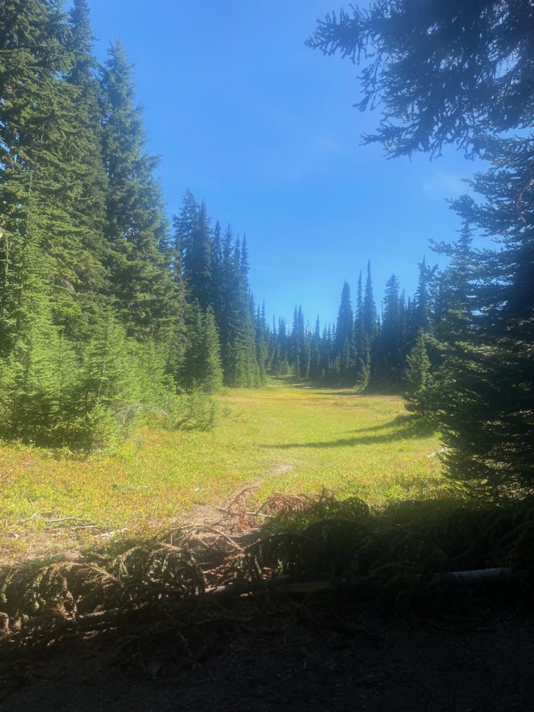
Continuing to drudge up the slope I pass by a nice looking meadow and then some ski lifts. Perhaps the meadow looking area is part of a ski slop.
Just before I work myself up to the top of Hogback Mountain two hikers pass me that are in a pretty big hurry to get down to White Pass but one of them says: It’s a hard climb but the views are fantastic.
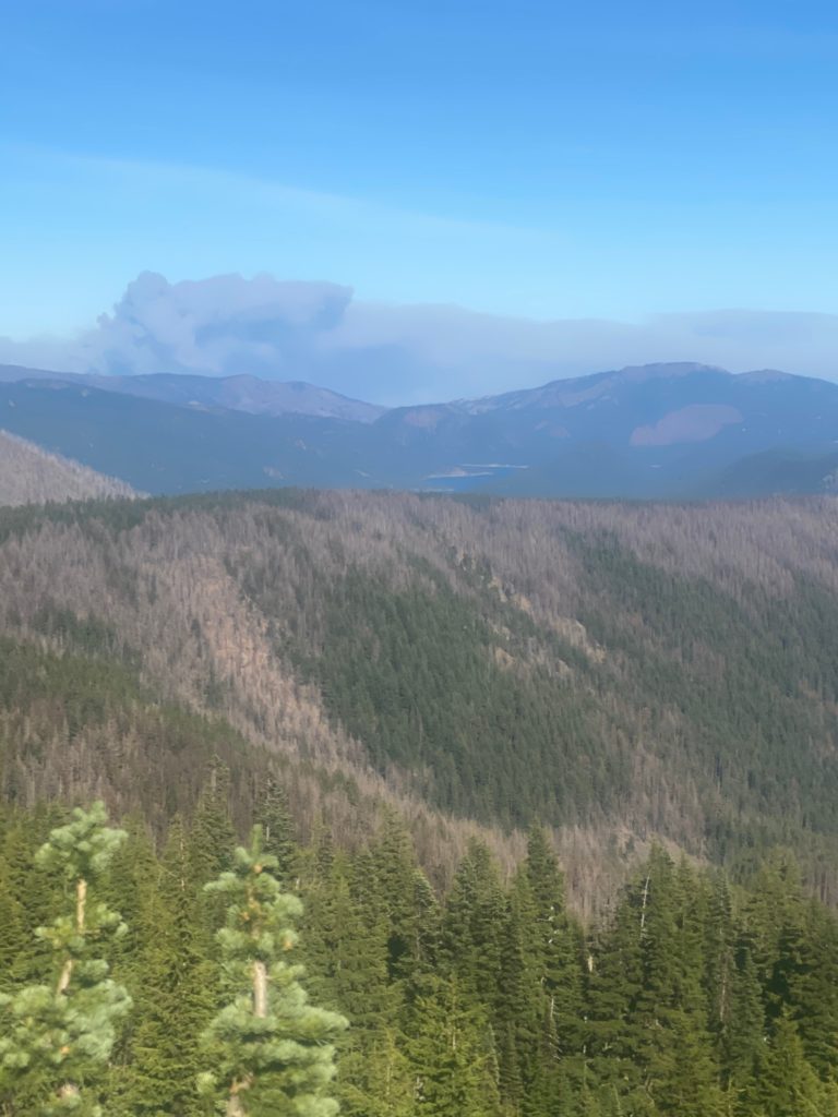
There are good views. I look back towards the north and see the fire that we passed driving on the way to White Pass. Pretty impressive amount of smoke but the fire is moving the other way and is a far piece off. You can also see a glimpse of Clear Lake which is a good size lake we passed on the drive. The dead trees I am sure are part of the fire that was here in 2018 that caused the PCT detour.
There is a small campsite and that is where I am staying for the night. I hear two other hikers come in during the night. A guy who is quiet and a gal who is very talkative and chatters to the quiet guy. Turns out I will meet the gal later. On the hiking applications the spot I choose is called “small campsite”. That is how I know the gal I meet later will be the same gal.
- Miles: 5.7
- Steps: 14914
- PCT Mile: 2290
- Elevation: 6350
- Location:
