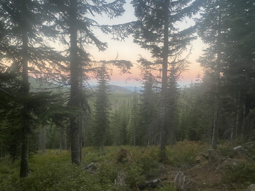
Had a good nights sleep and it is another beautiful morning. Here here is a morning view.
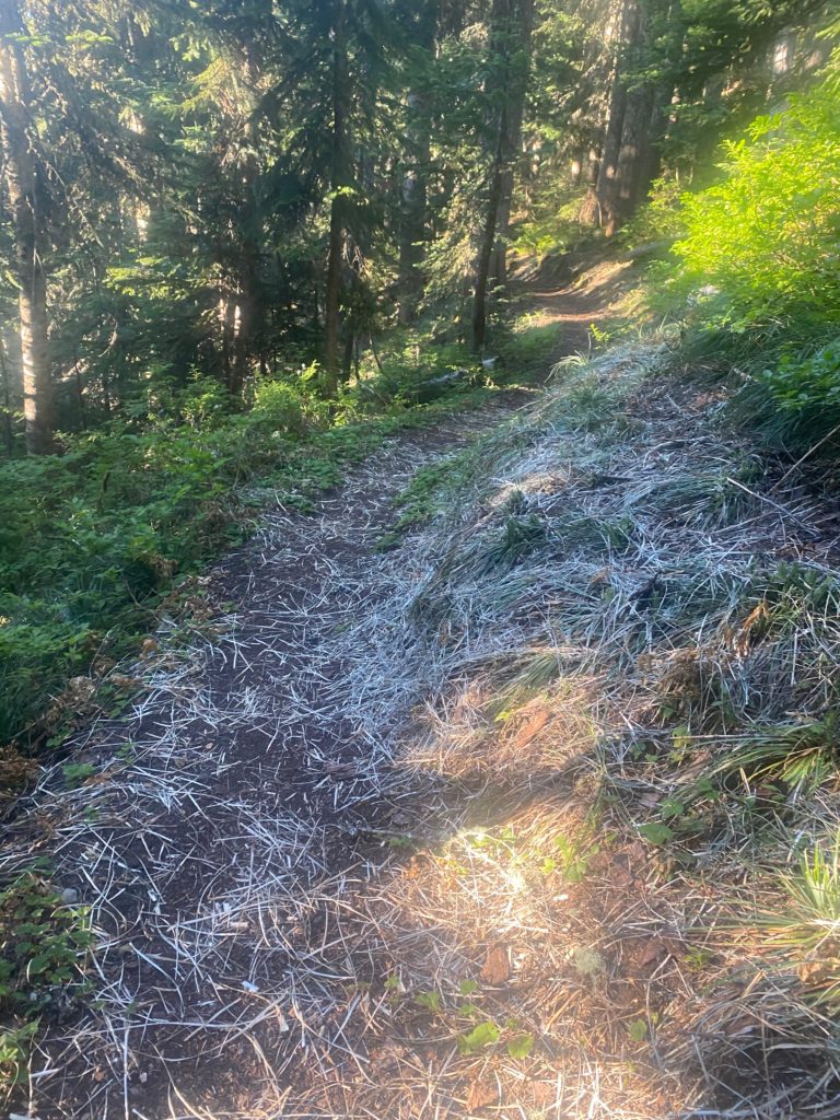
Nice trail through here and it looks like there has been some maintenance done to keep down the bushes by the side of the trail. I did not think any maintenance was being done this year at all.
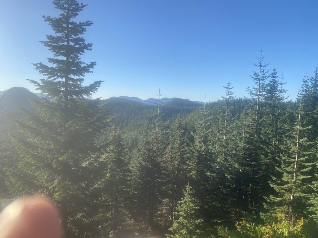
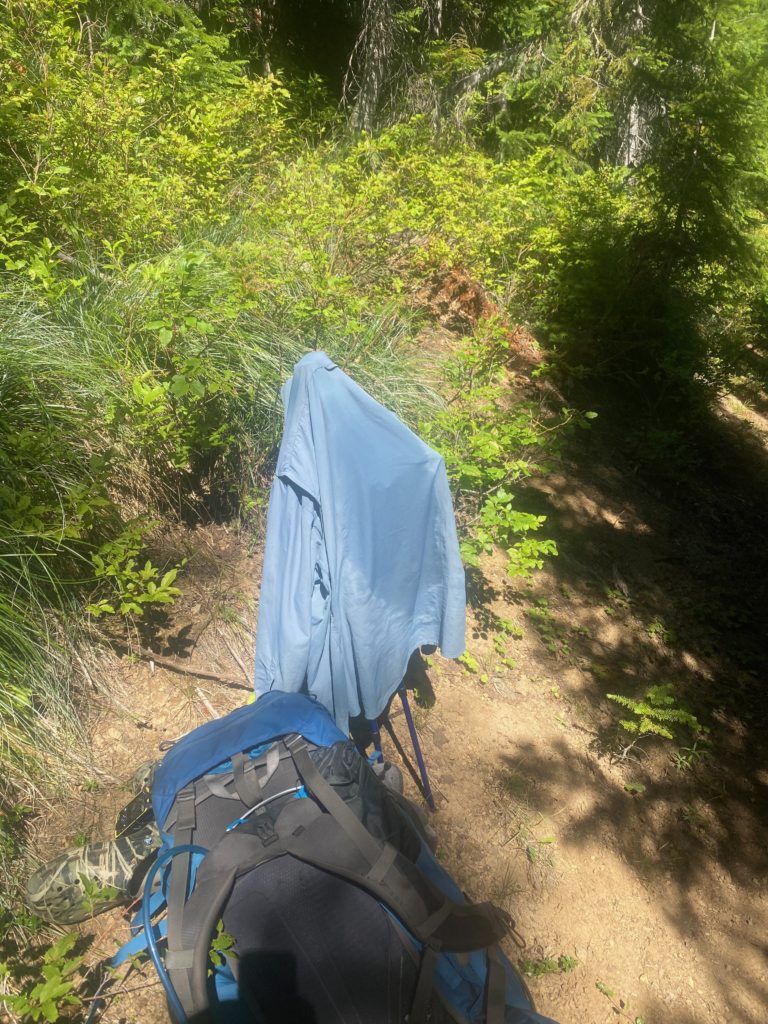
Stopping yesterday often to dry my back and shirt has helped the situation with the rash but it is still there. Here is a view I had while waiting for my shirt to dry.
One of the rare signs I have seen telling me about the national forests and wilderness areas I am in. Here I am leaving the Mt. Baker-Snoqualmie National Forest. The Mount Baker national forest was established in 1907 an the Snoqualmie National Forest in 1908, under President Theodore Roosevelt. They were combined in 1974.
I get to the Tacoma Pass road which is a beautiful gravel road and need to dry my shirt again. While I am waiting a car drives up, goes by, and then backs up and parks. I guy gets out and tells me he dropped his wife off at Stampede Pass and she is hiking towards Tacoma. He is going to hike towards Stampede and when they meet will both return to Tacoma to get the car. He is pretty experienced with the area and tells me that ahead of me there is a spring off the trail and is the last water for 11.5 miles so I should fill up. As we are talking a guff PCT hiker walks by and says he didn’t know it was shirtless weather and just continues on hiking. Pretty funny. So I am told there will probably be a sign on the trail that indicates where the water is. Below is a picture of the sign.
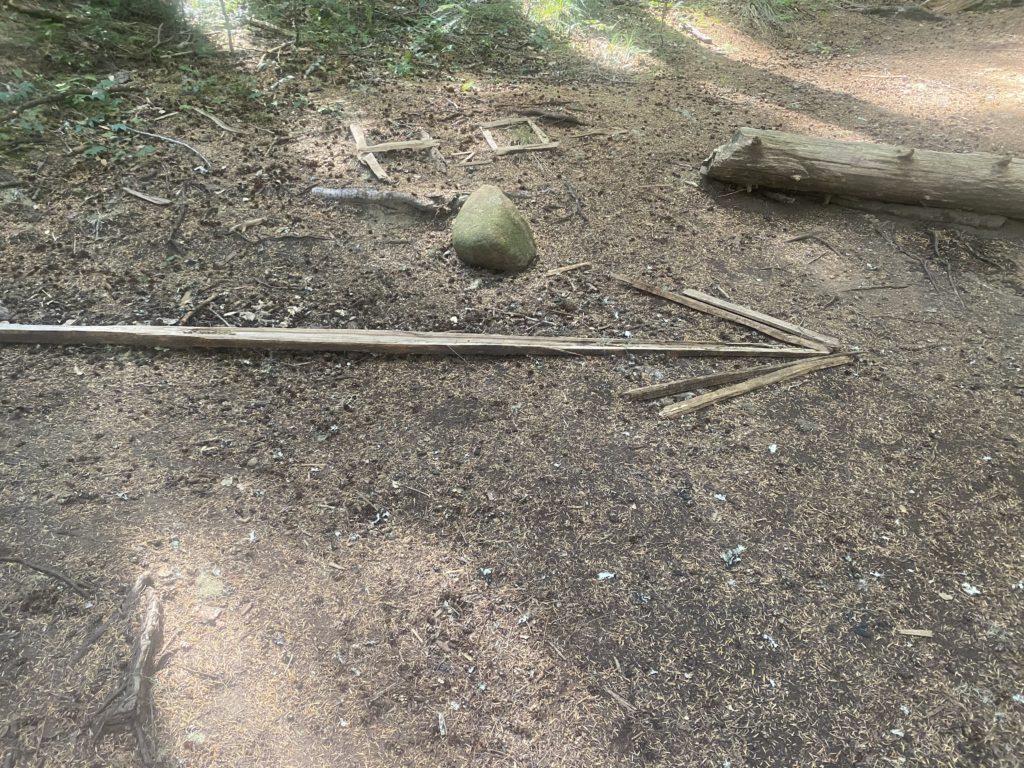
Now that is what I call a sign. The spring is about .2 of a mile down a pretty good trail and the water is great there. Easy to gather and very cold. I come back up to the trail and have a snack. Good time to have a snack as I have a bit of a climb ahead of me. Not that much later I am drying my shirt again.
I meet a gal a little later on and we chat for awhile. She is going North to Stevens Pass and she asks if I had started about the border. I told her about my experience and how I did not feel comfortable about the trail and had to turn around. That I regretted not getting a picture at the northern terminus of the PCT. She smiled and said that is what PhotoShop is for.
Heading for a particular campsite but when I stopped to read the reviews for it I found out that all the sites were pretty badly slanted and I noticed a small single site campsite right by the side of the trail and so I stopped and set up camp. Last night there was a lot of moisture in the air and my tent fly was pretty wet. I had time here to lay out my tent and let everything dry out. As I wait for the tent to dry I have a meal and look up through the trees into the sky and there are 3 vultures flying overhead.
- Miles: 11
- Steps: 28057
- PCT Mile: 2360
- Elevation: 4733
- Location: https://w3w.co/reclining.engine.extracting