So last night was a little rough. I could not sleep at first and my shoulders were just aching. I am attempting to carry a 60 pound pack with 14 days worth of food. After taking some Aleve, I did get some good sleep.
I’m starting the day at 800 feet, ascending to about 3500 feet, and then descending to about 1800 feet. I am just so very very slow both on the ups and the downs. Doing less than 1 mile per hour and the downhill really got my right hip screaming at me. Shoulders continue to hurt.
I started the day at 6:40 and by 12:40 I reached the high point of the day at about 3500 feet and PCT mile 2159.5. So about 6 miles in 6 hours. Then I head down to 1890 feet elevation at PCT mile 2164.8 and get there at about 6:50pm. So about 5 miles in 6 hours!! The result of my hip hurting and having to stop so often on the descent.
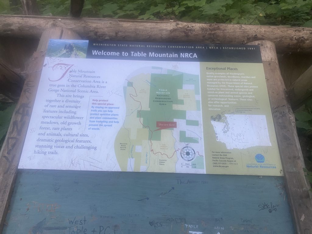
The trail goes past Table Mountain and there are signs for a side trail to go to the top. I have no idea why anyone would want to do that! There are all sorts of messages scrawled on the sign indicating that the hike to Table Mountain in brutal and don’t even attempt it with a full pack.
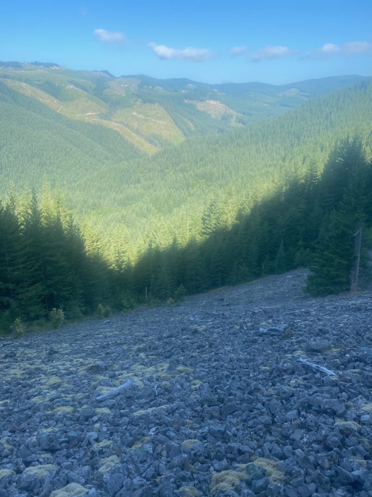
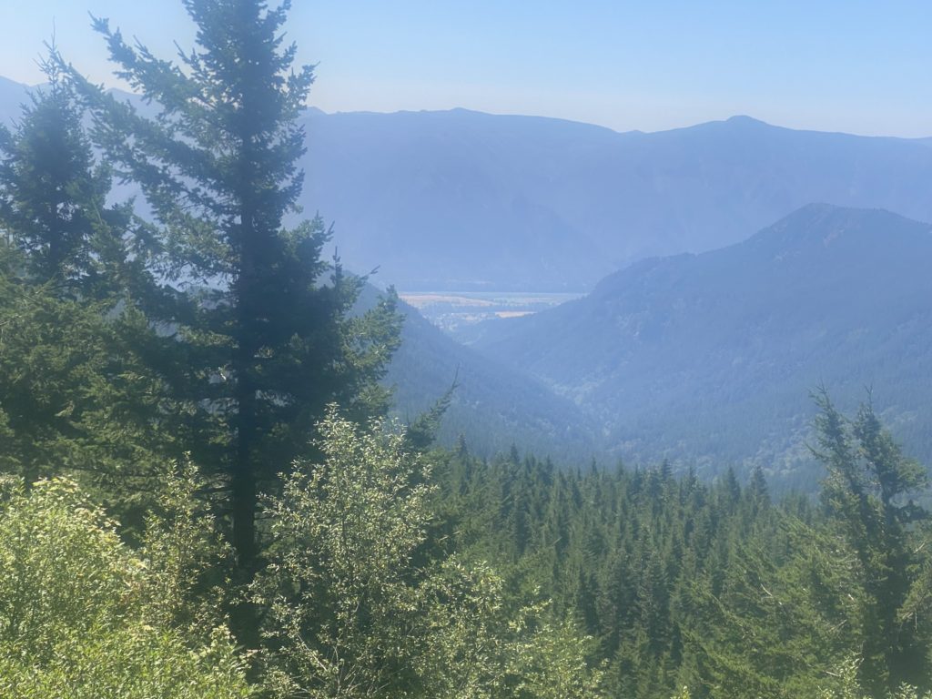
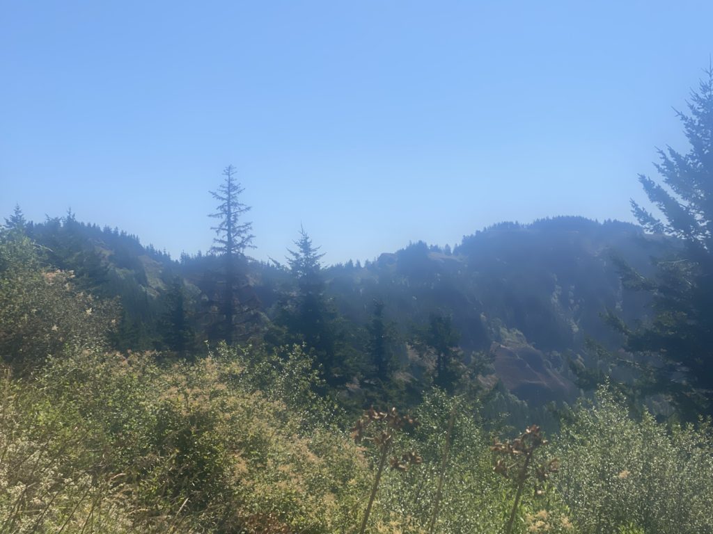
The trail is rocky at this point and even goes though a lava field or two but there are beautiful views including looking down to the Columbia River Gorge.
So I end up stopping 2 miles short of my goal but at a little creek that has a very slight trickle of water. There has not been any water on the trail for 11 miles and I always try to camp by a water source. This will have to do. A trick I learned on the PCT to gather water is to find a large slender leaf and place the leaf at a spot where the water is trickling over rock in the creek. The leaf will gather the water at the top and flow off the leaf at the bottom creating a little stream that you can put a cup under and gather. Should have taken a picture….
Saw/met 5 other hikers today. One was heading back to Bridge of the Gods because his feet gave out. One started at White Pass and was heading south and told me there was very little snow ahead. Again with the very little. A couple that just blew by me and didn’t say anything. And a PCT hiker named ASH who was headed for Canada to complete this through hike. The next day I would meet ASH’s walking partner PIERRE (I did not ask either hiker how they got their name) and PIERRE told me they went through waist high snow in the Sierras this year. I’m just not sure how that is possible but people do it. So very fortunate that my hike through the Sierras in 2015 involved no snow.
This is not really a camping site but I did find an area that was relatively level. The slight slope was enough to cause problems sleeping, I did have to push myself up a couple times during the night. More Aleve.
- miles: 13.1
- steps: 34107
- PCT mile: 21648
- Elevation: 1890
- Location: https://w3w.co/deeds.reinstated.busiest
Some wild flowers seen along the way.
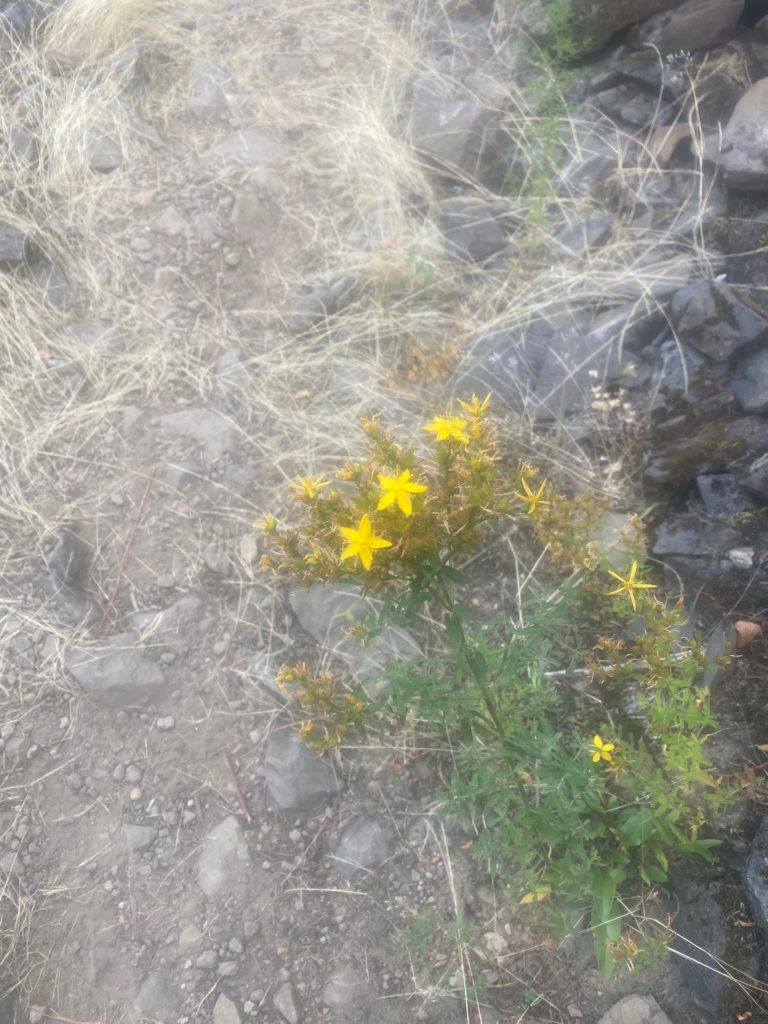
PCT 2153 to 2165 Common St. John’s Wort 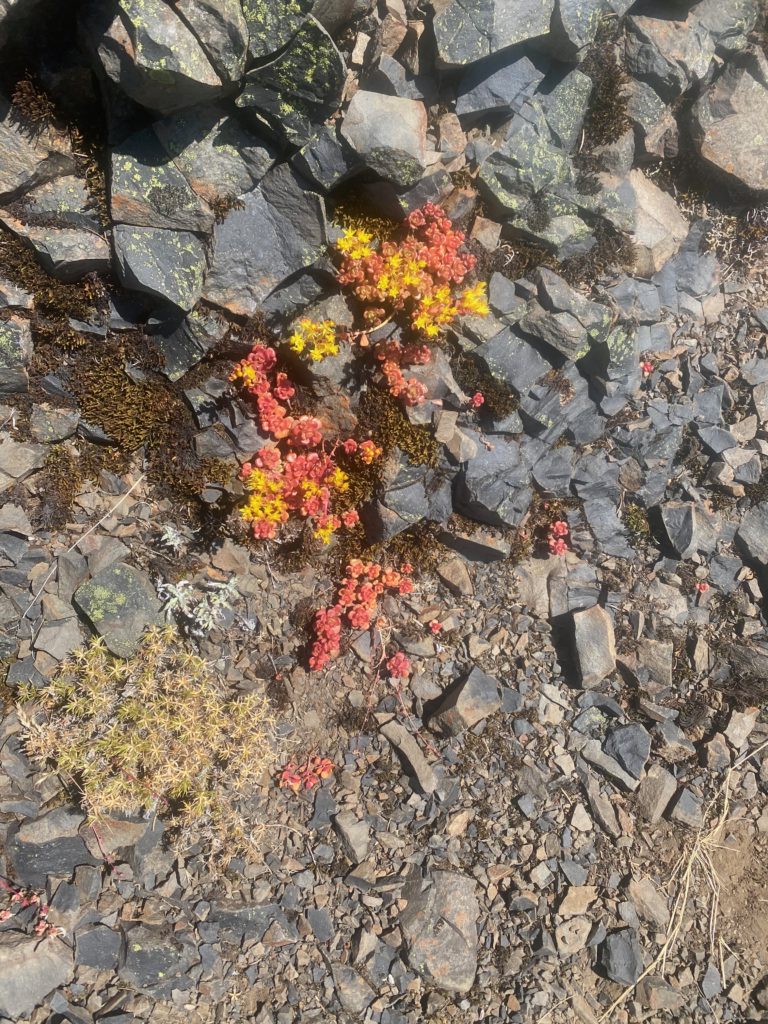
PCT 2153 to 2165 Spearleaf stonecrop