Tag Archives: Rock Pass

Aug 19, 2020 PCT Mile 2640 to 2646 to 2638

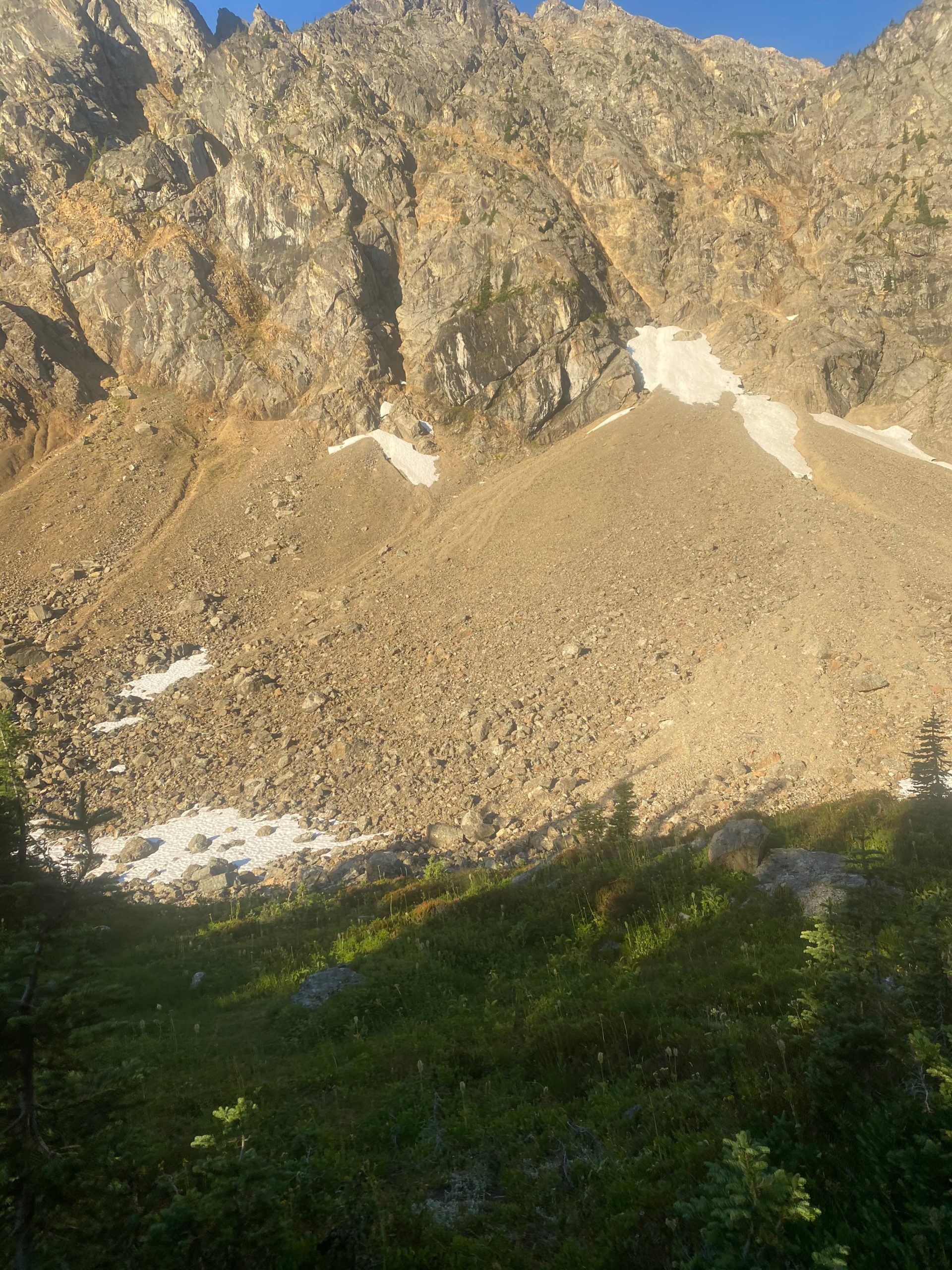
Another great night of sleep and without fear of water I have two Carnation Instant Breakfasts and I am ready to get to the border today. So very excited. Up early and start hiking about 5:40 or so. The sun is just coming up and I take a video of Rock Pass. As I pan to the left you may see a portion of the old trail that would have gone across the ridge over to Woody Pass. Not any longer. Heading down into the valley.

360 Video of Rock Pass

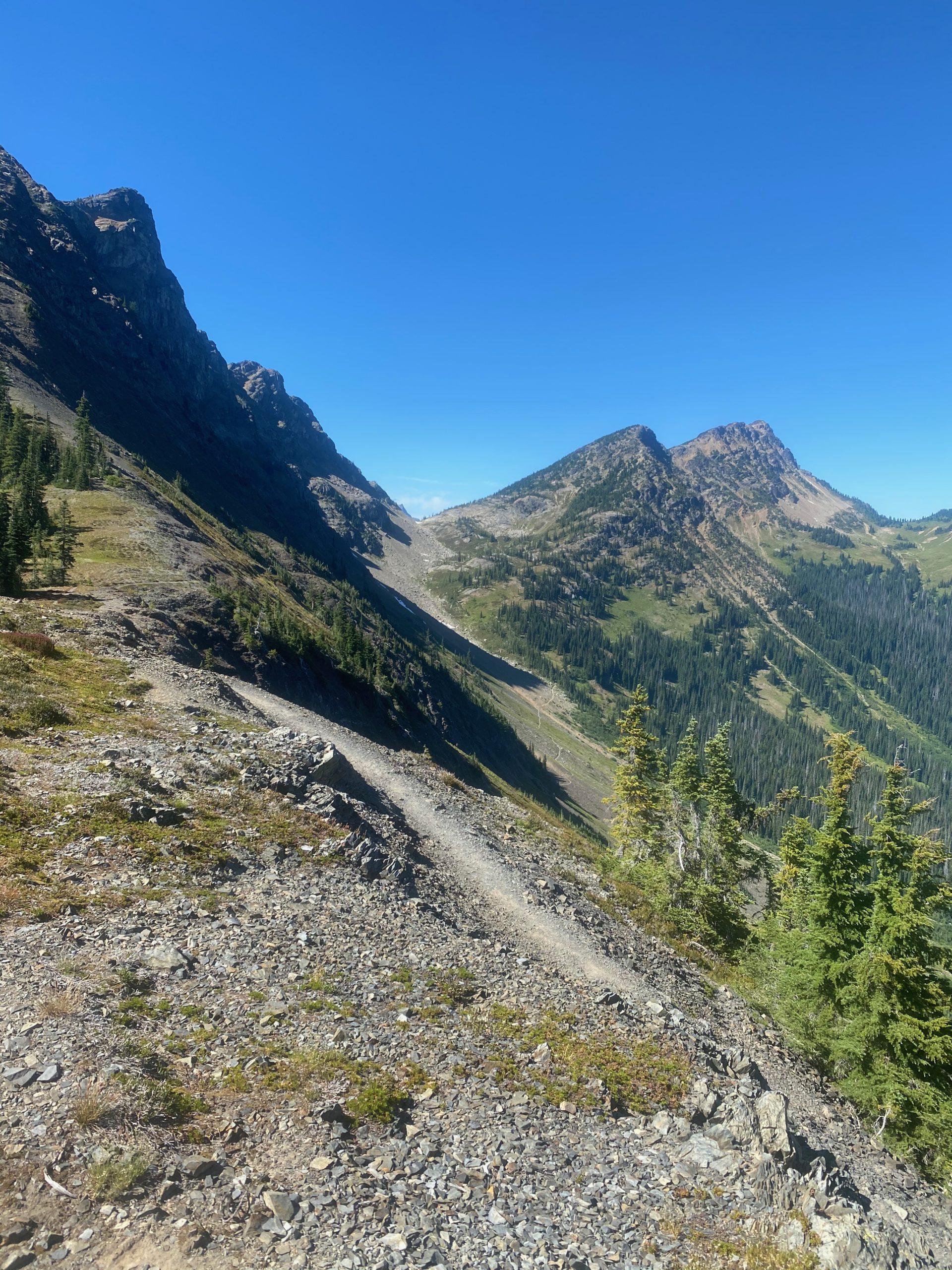
As I travel over to Woody Pass I get to a point where the old trail along the ridge meets the new trail through the valley. Not much of the trail left on either end but I can tell it would have been an much easier hike but it must have been pretty dangerous for the PCT to abandon maintaining it.
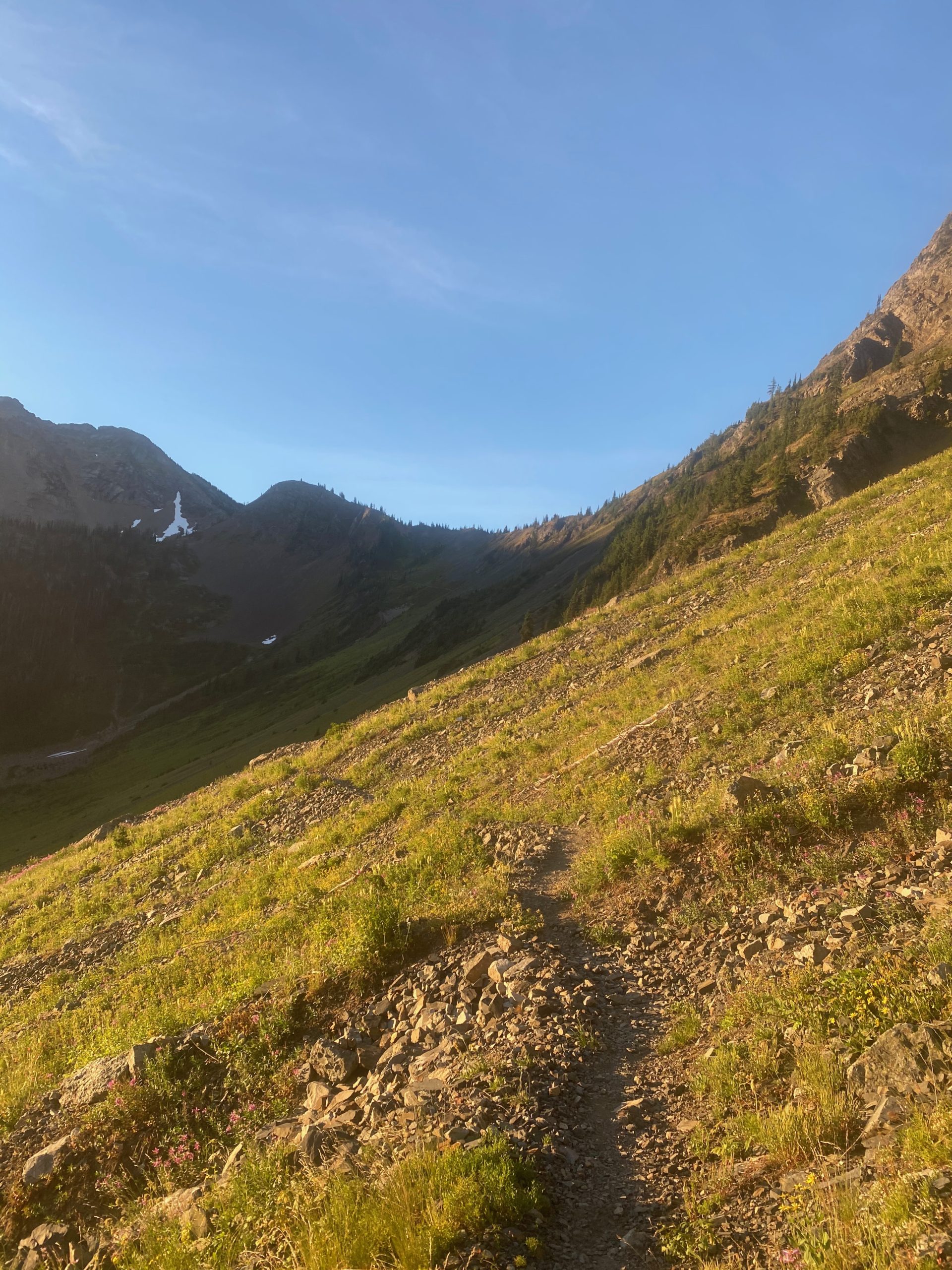
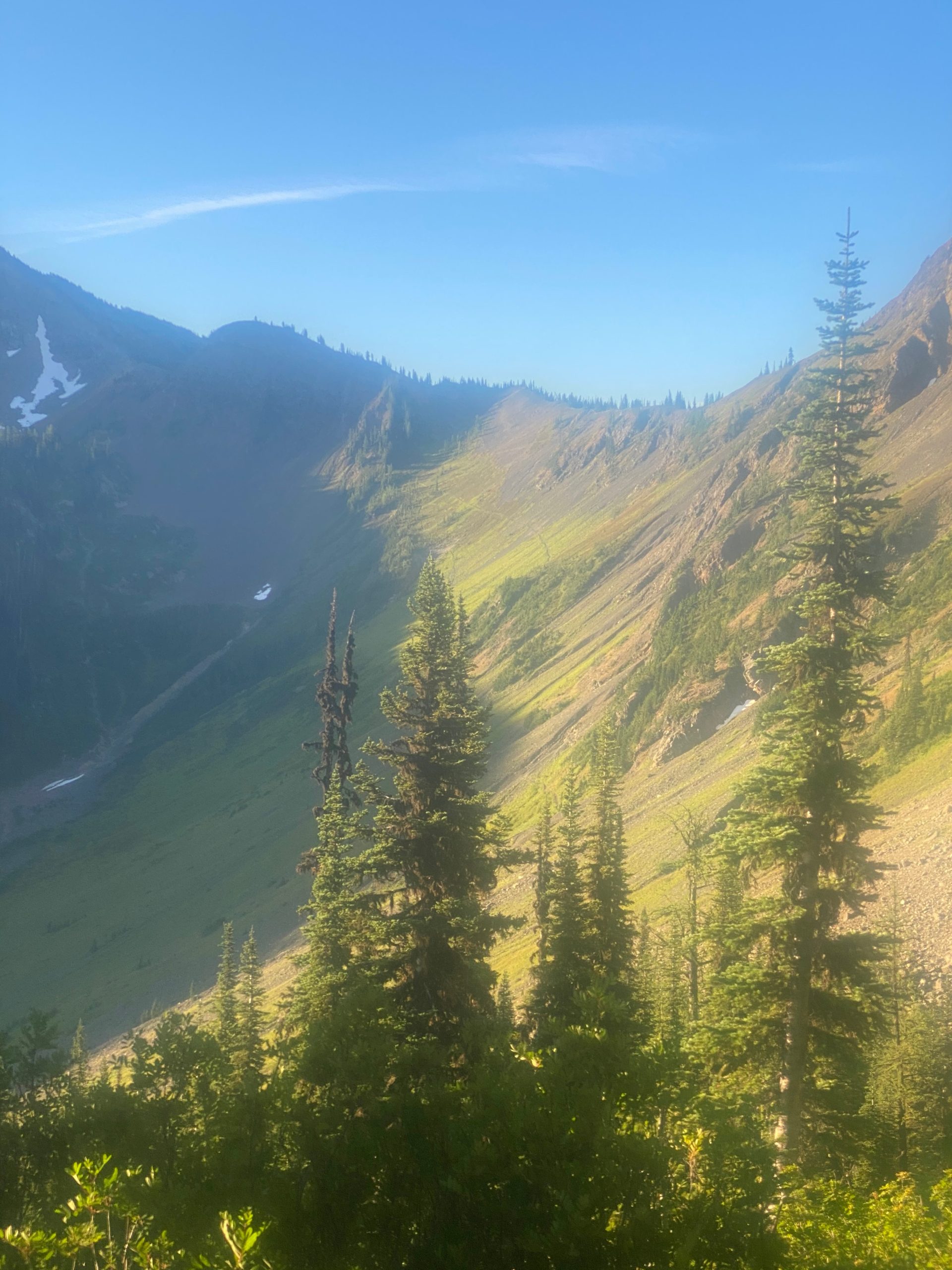
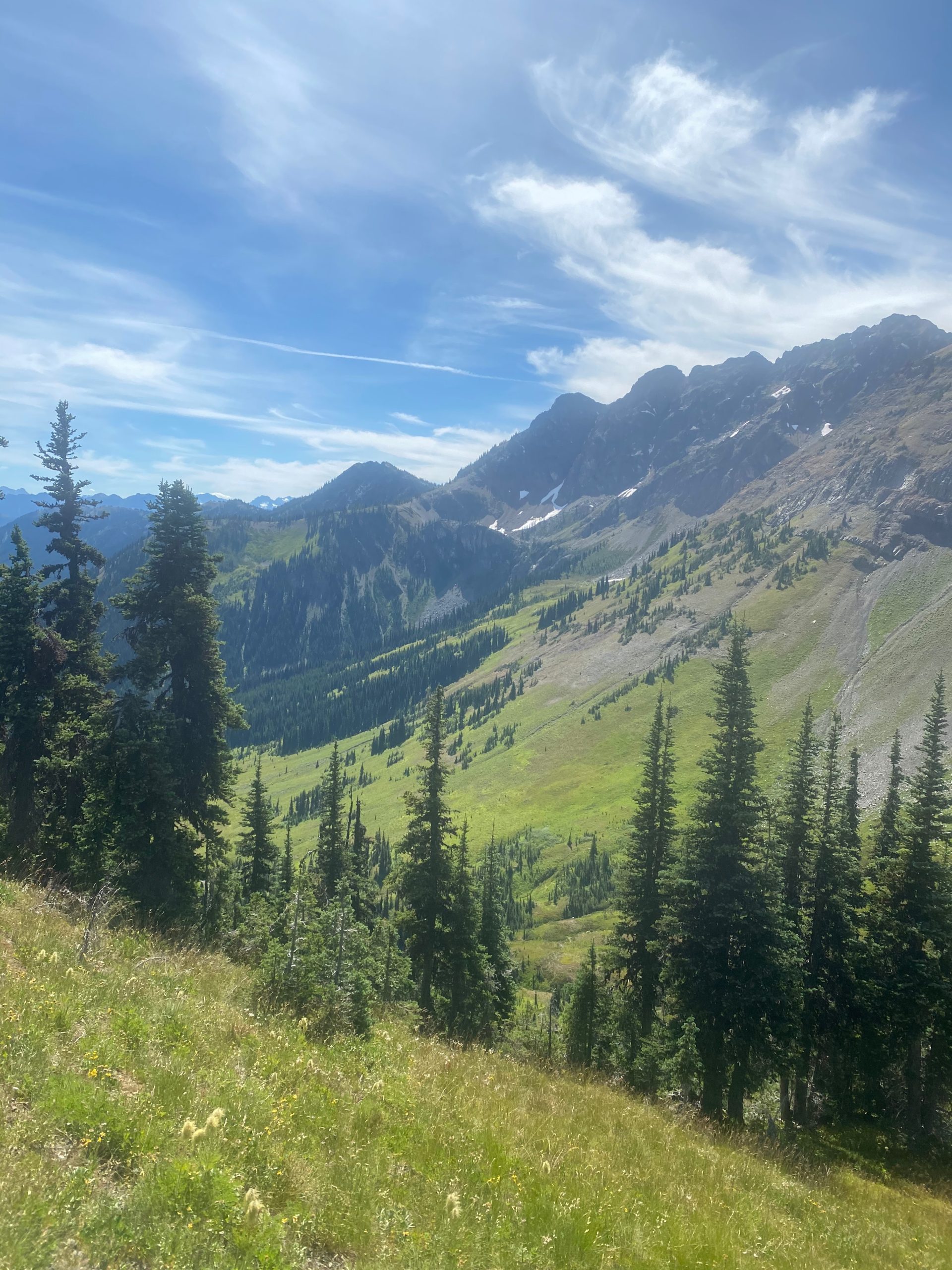
After getting to Woody Pass it is time to start the ascent to the highest point on the PCT in Washington. From there it is all downhill to Canada. I checked the forecast last night and there were predictions of rain tonight and early next morning. The image below I thought was beautiful but wondered if those were the expected rain clouds that were coming in.
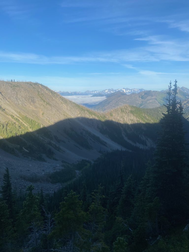
PCT 2640 to 2638. Forcast calls for rain tonight. Some clouds moving in

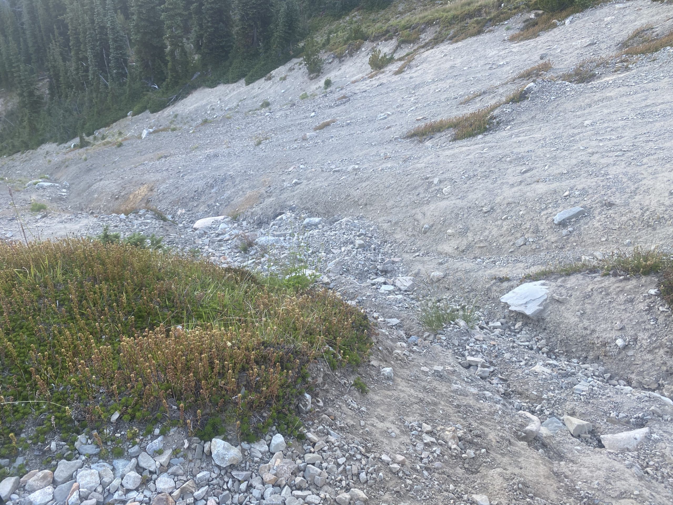
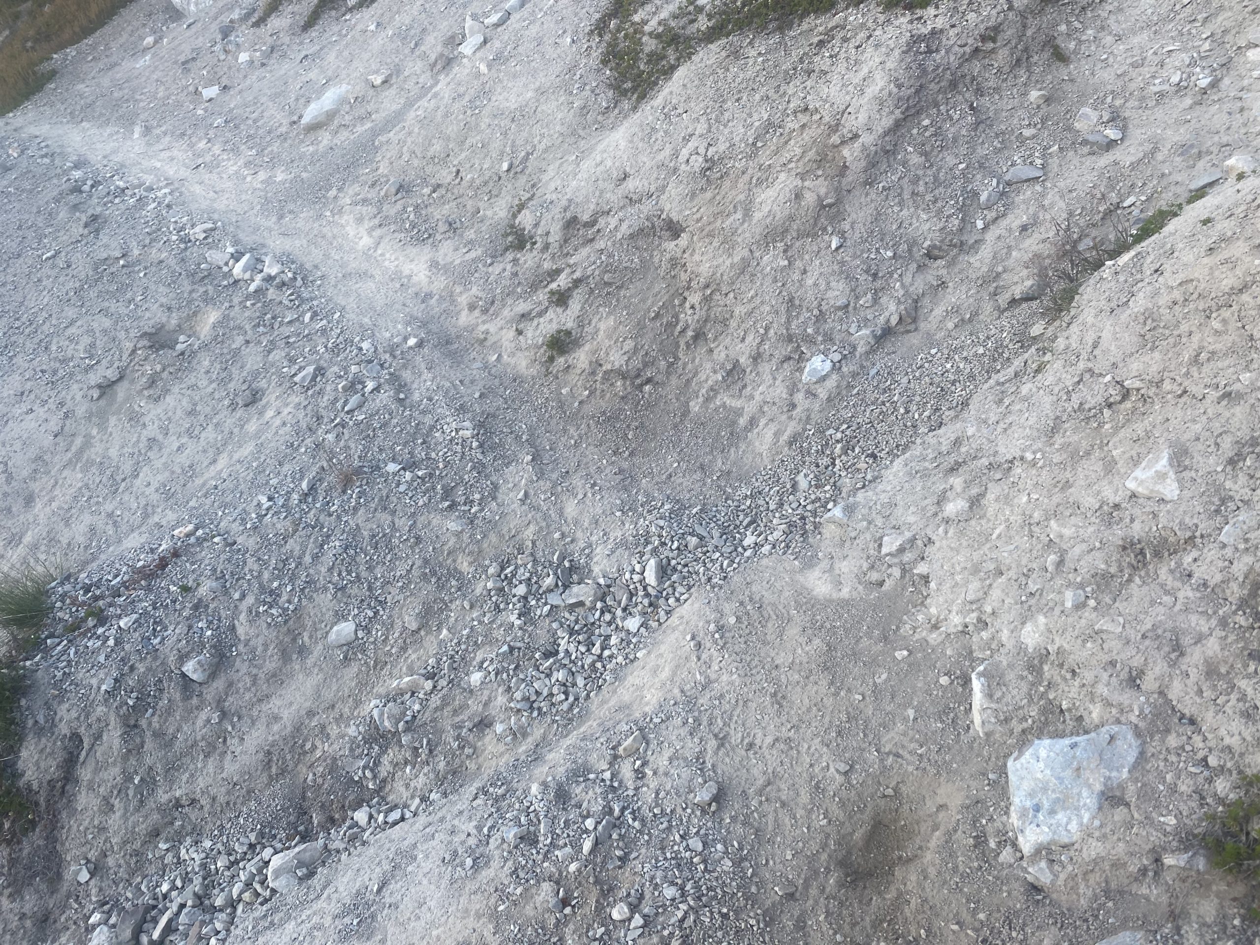
The hike is beautiful and the ascent not difficult until I run into the little trail damage shown below. I could not cross it but I could go above it. So I clambered up and over and down. Had to slide down on my rear but there was a lot of short stonecrop and so it was easy sliding.
Almost to the highest point and I have a view of the lake that does indeed seem to hold water and I also took at 360 view video.
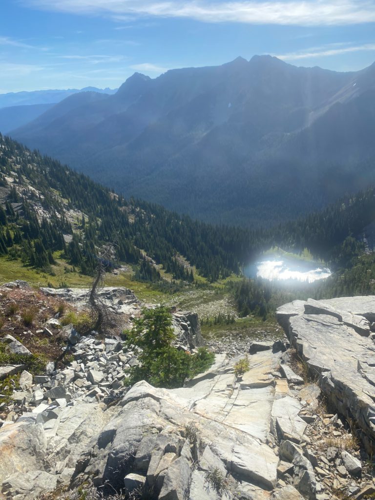
PCT 2640 to 2638. Looking at Hopkins Lake from almost high point on PCT in Washington.
PCT 2640 to 2638. 360 video from high point on PCT in Washington

So I have hit the high point. It is only 9:30 and about 8 miles to go to ready the Canadian border. I’m feeling good about getting down and getting back. Only a 7% grade for a little over 7 miles. Feeling pretty good but after about .2 miles I run into a part of the trail that I can not traverse and I see no way around it. I took a few steps into the damaged area and could feel myself slipping. I was actually shaking as I tried to turn on the ledge that was less than 12 inched wide. I made the turn and went back to the wider area and wondered if it was worth it to try. I promised Lenora that I would not die on the PCT and I really was not sure I could keep that promise if I tried to cross this section. I knew that 100’s perhaps 1000’s had successfully crossed this area!! I looked down and could not see any bodies at the bottom (yes I really did). I really had no choice. 7 miles from the ultimate destination and I had to turn back. As I write this, I don’t regret doing so. It was the right thing to do.
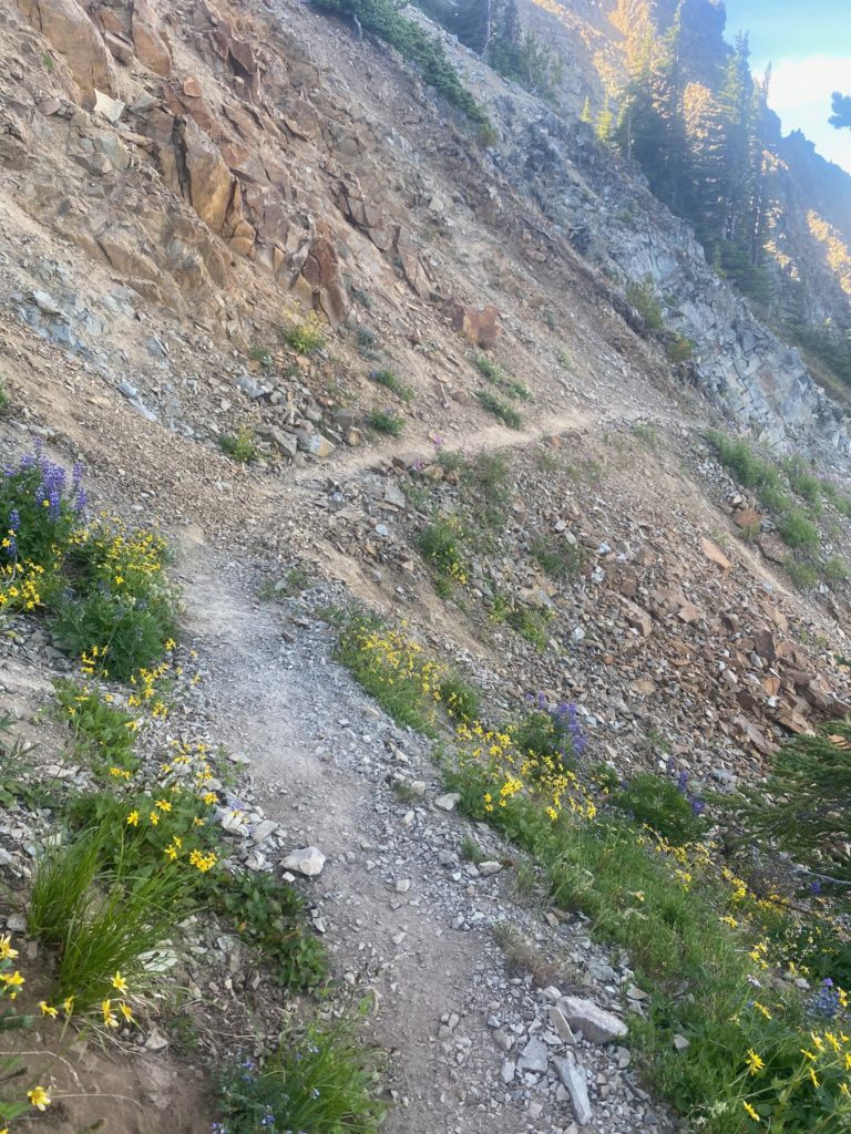
PCT 2640 to 2638. I am destroyed.

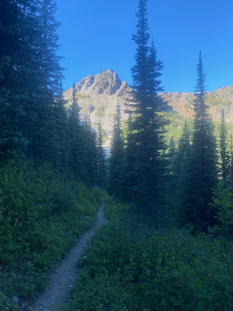
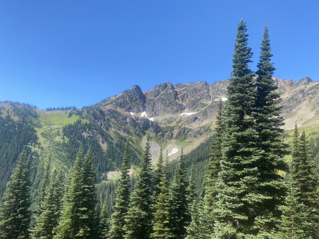
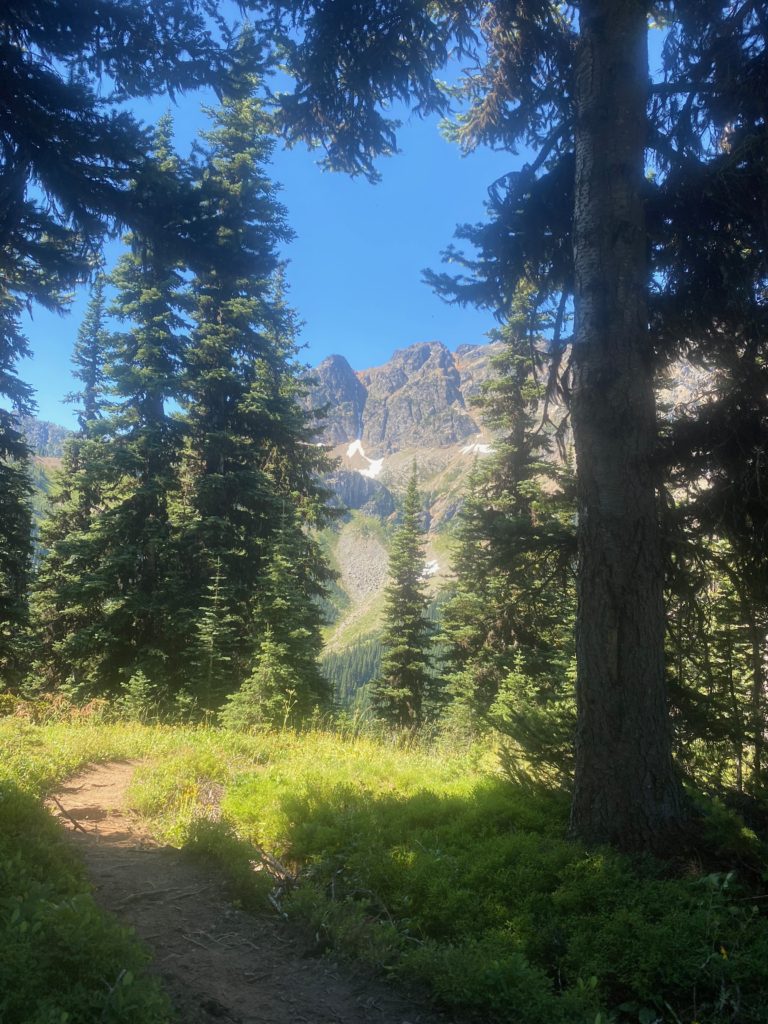
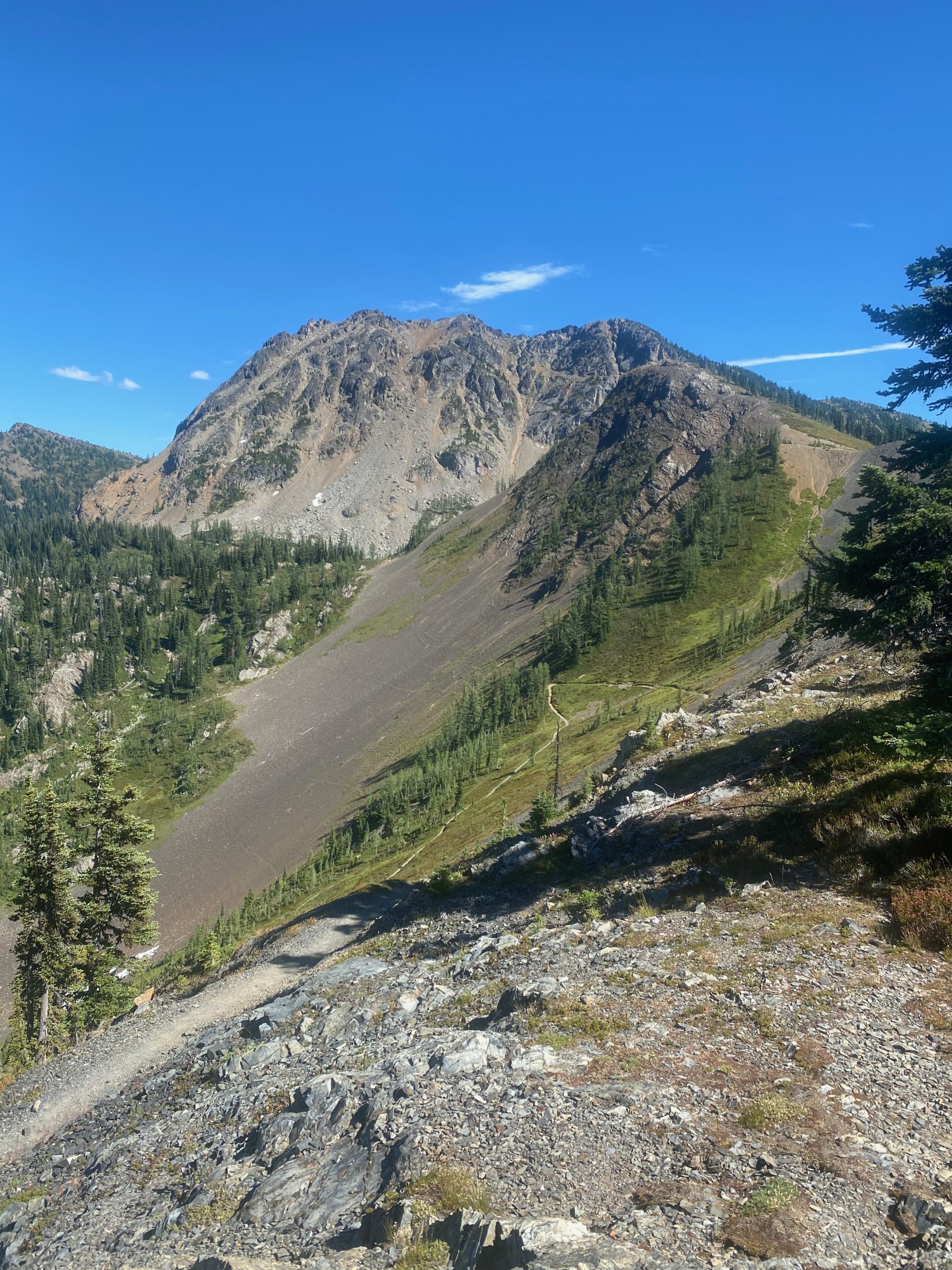
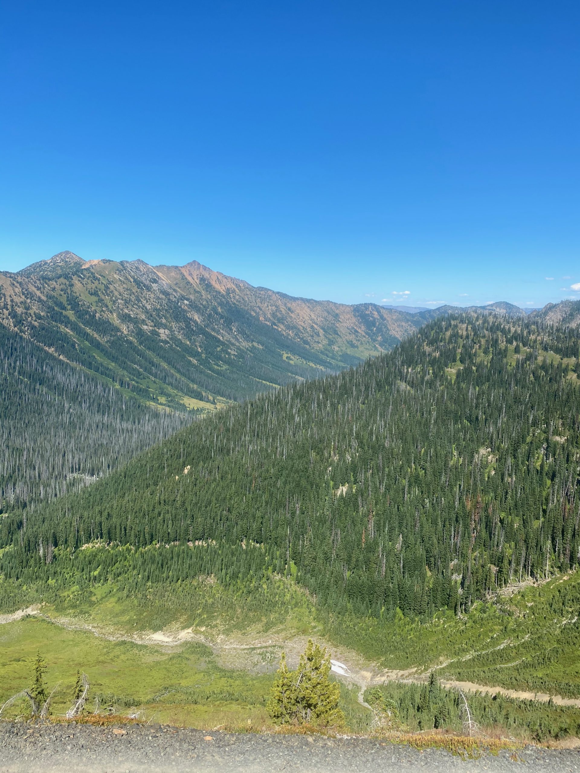
I turn around and here are some images on the way back to Woody Pass, to Rock Pass, and then to my camp site 2 miles south of Rock Pass.
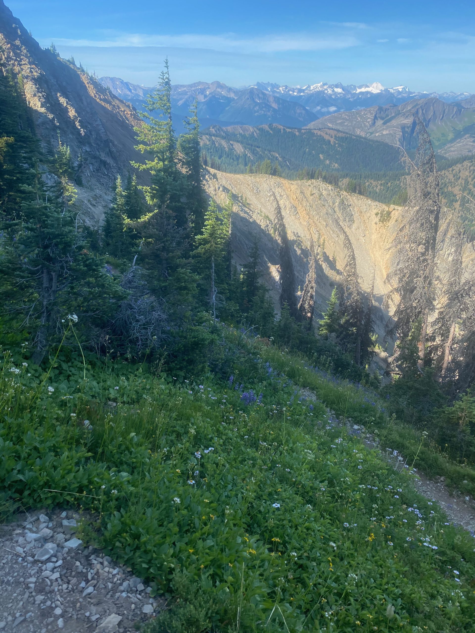
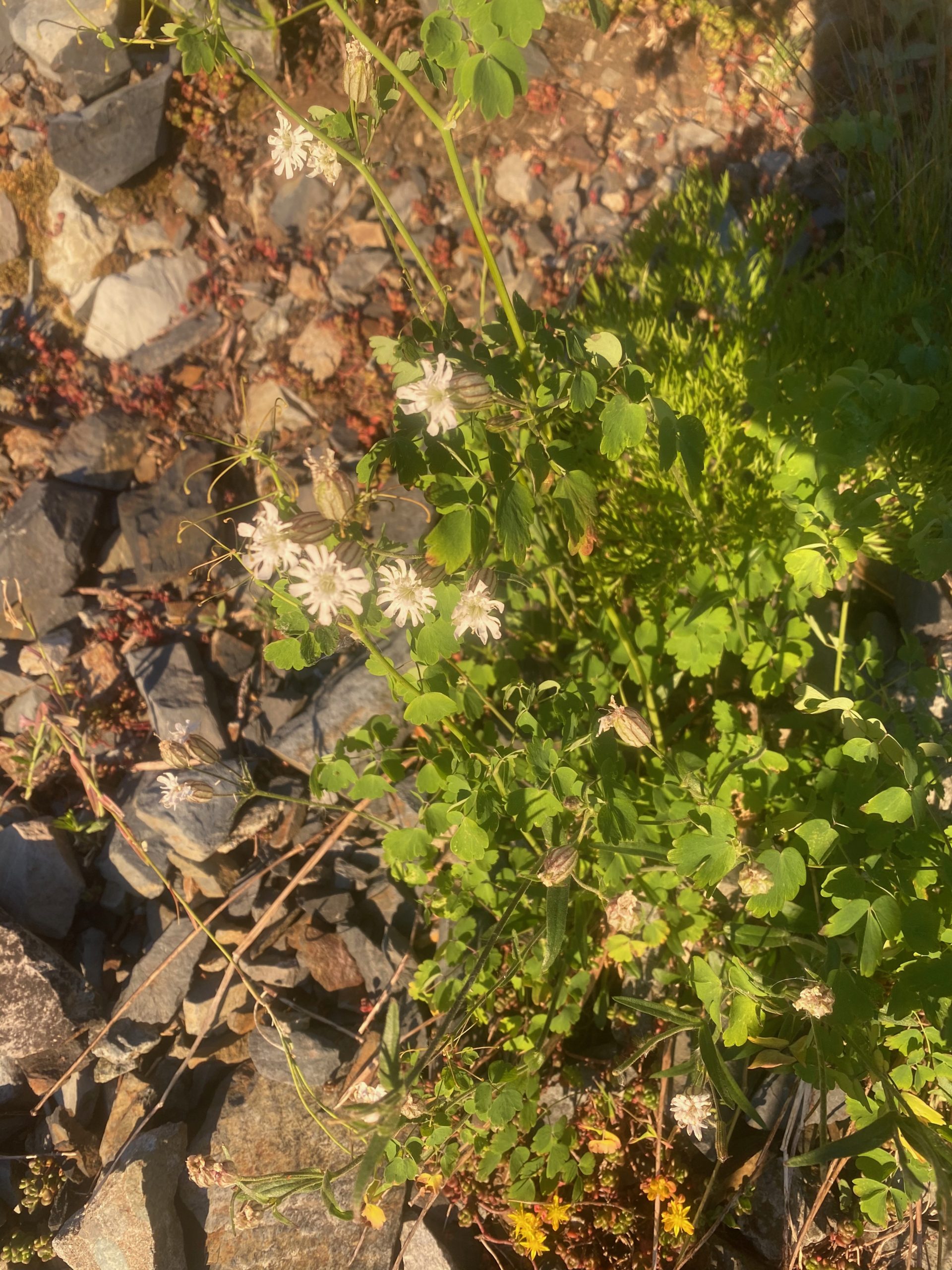
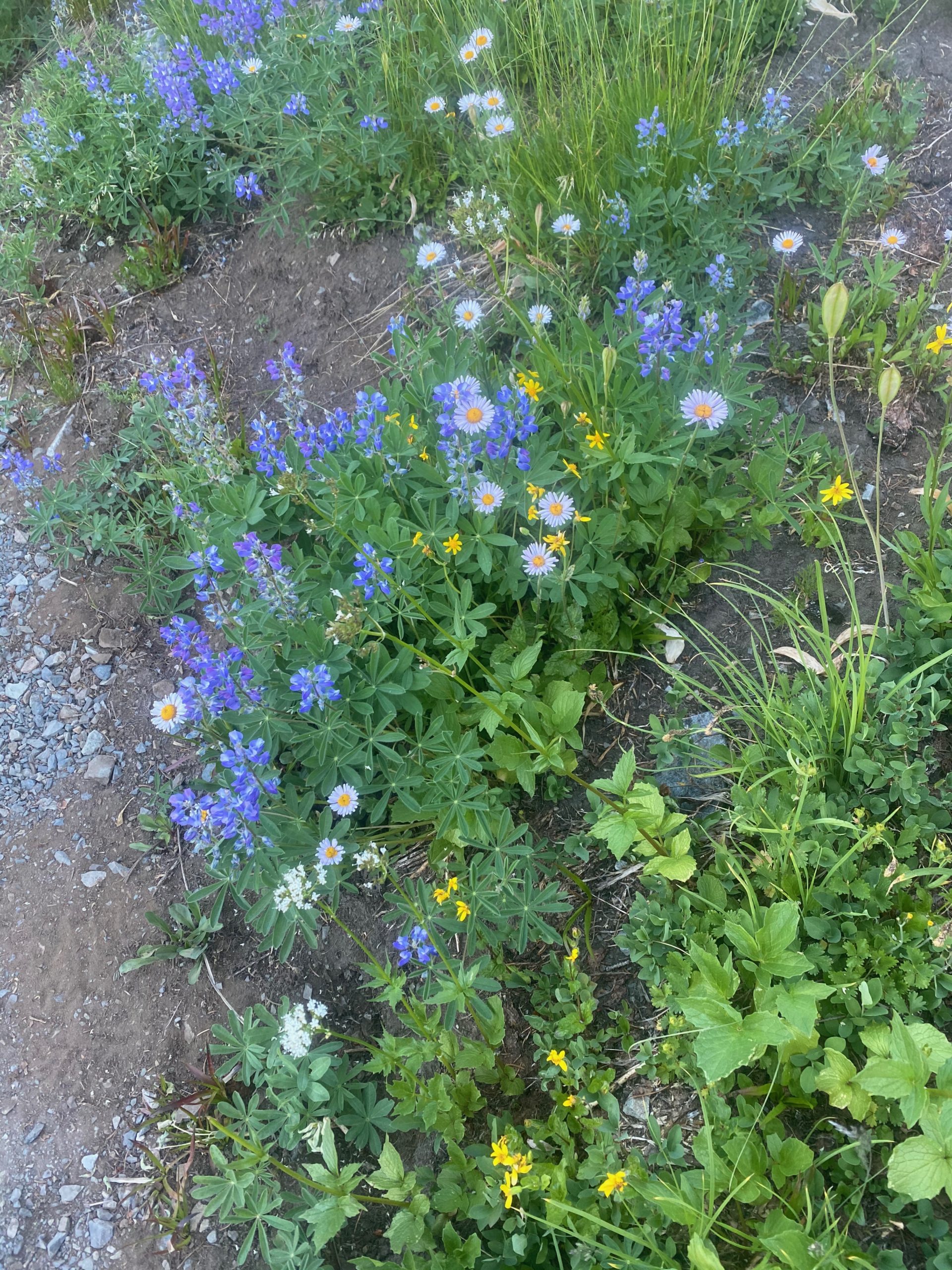
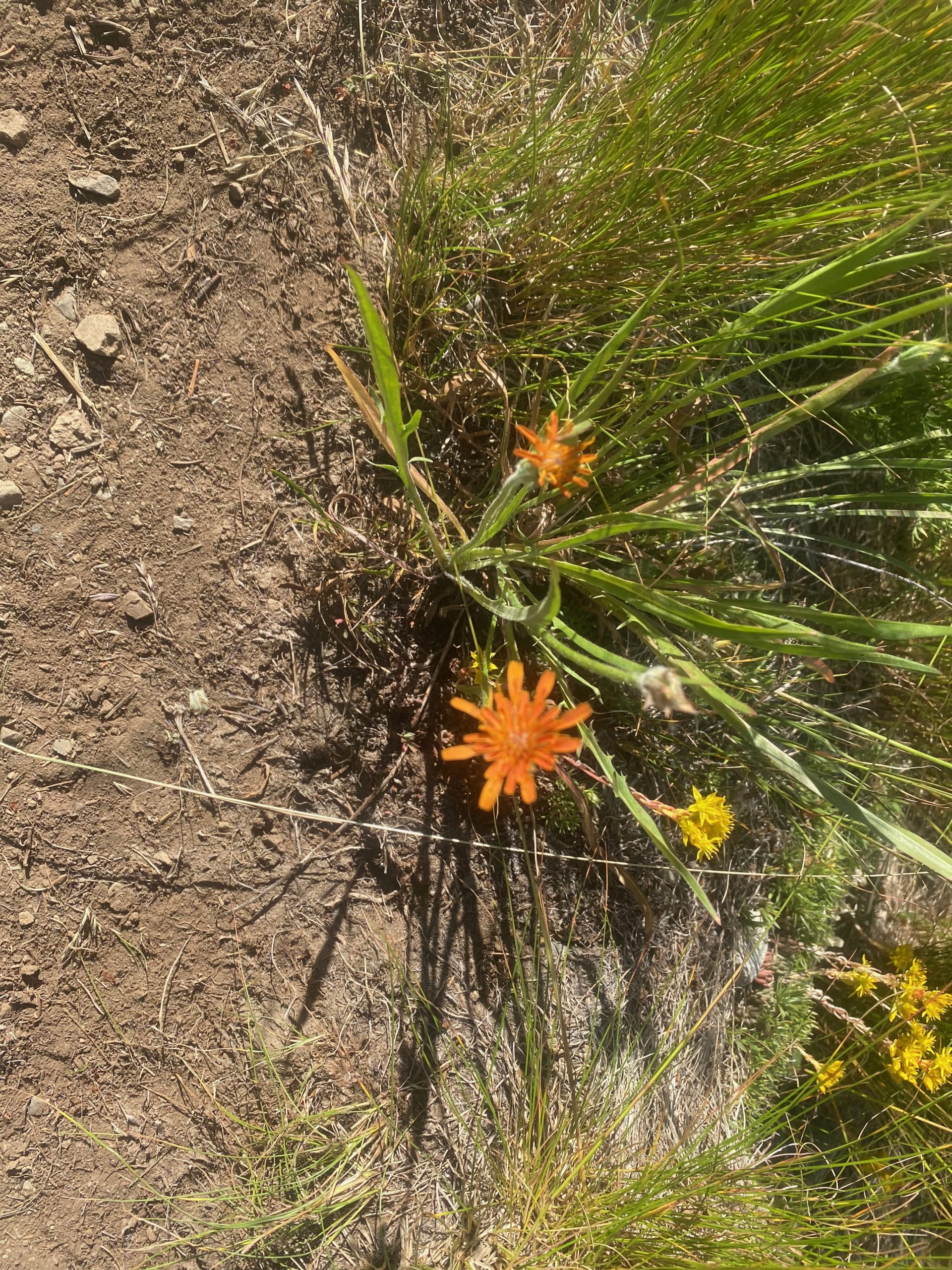
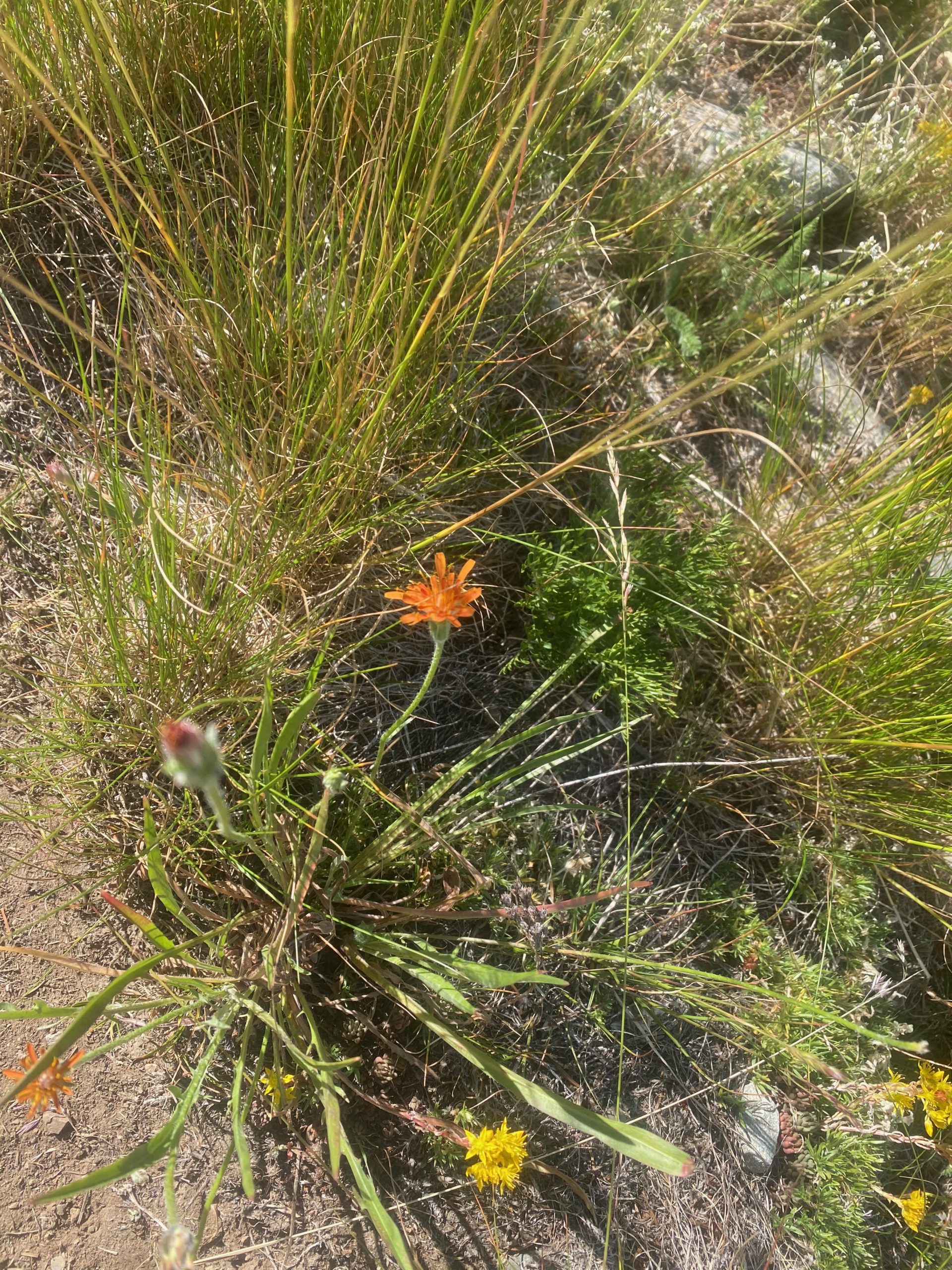
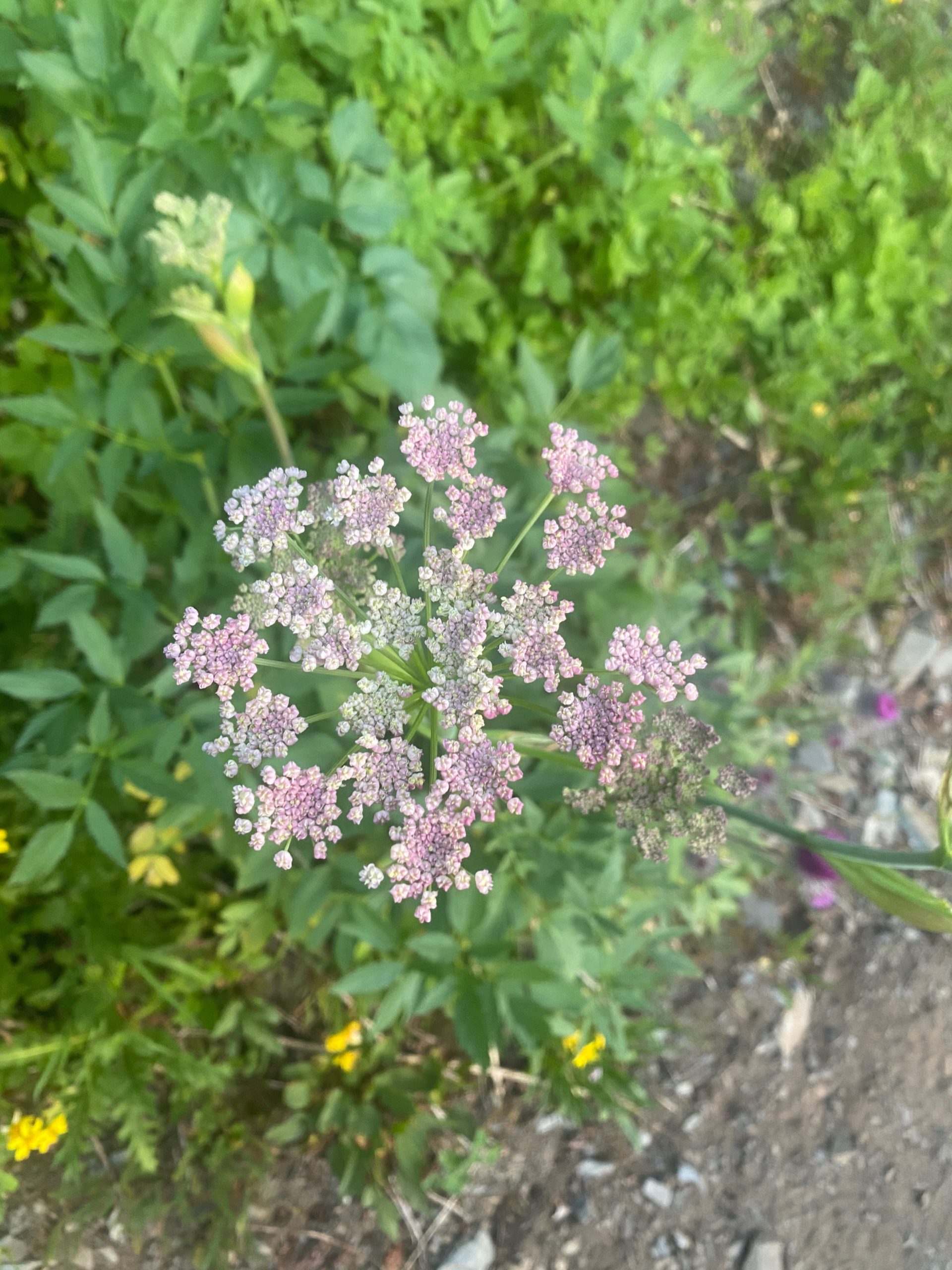
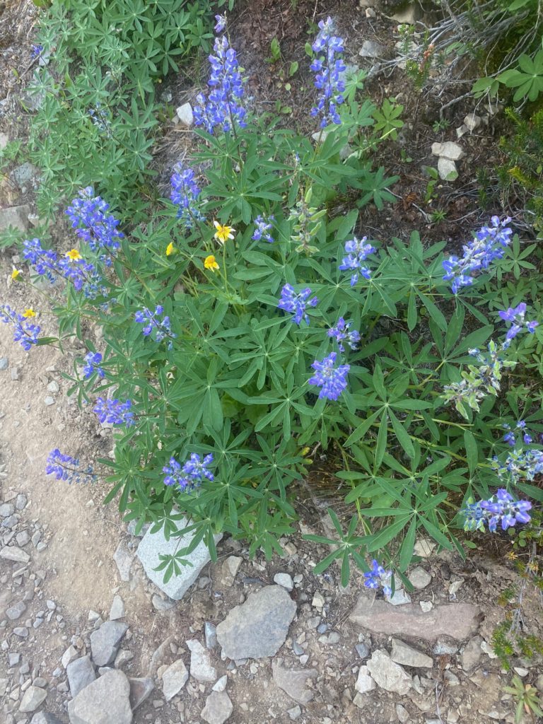
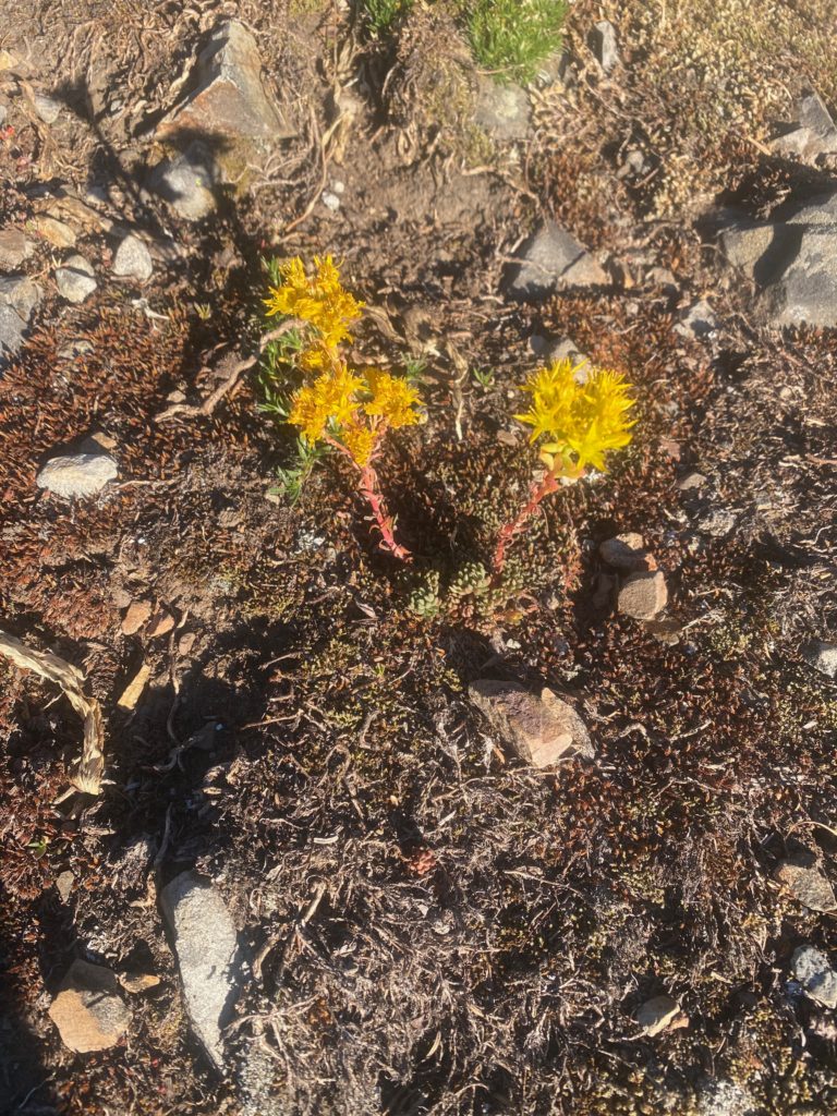
And some wildflowers seen today

Aug 18, 2020 PCT Mile 2630 to 2640

I had a really good night of sleep. If you read my posts you know that I have had a hard time eating on the trail. The first year (1700 miles) I did not have any issues but ever since then I just get nauseous at the thought of food. With Martha and Lenoras help we tried to solve that by switching up what I carry to eat. I was carrying freeze dried food that needed to be cooked. We switched that up to various pre packed tuna creations. Also added a lot of condiments like the packages you have in fast food locations. I only wish there were a Chick-Fil-A here because they have the best sauces. Then some flour tortillas to hold it all together. I also went back to using Carnation Instant Breakfast to get me going in the morning. The instant breakfast is great because it makes me hydrate before I start and really gives me a boost in the morning. Then there is some trail mix with various nuts, M&M’s, dried fruit, and yogurt chips. It is early but so far this really seems to be working.

I start off the day thinking I am really going to have a productive day. At least 15 miles in my plan. It is a nice crisp morning but not cold. I get started at about 6:15. After about 30 minutes of walking I take the 360 video below.

About a hour later this picture of trail and mountains

PCT 2630 to 2640. Just pretty trail and mountains

I go past Foggy Pass without even realizing I was there and hike for awhile till I get to a nice stream where I load up on water. There have been tails that water is going to get scarce the further north I get. At the stream I meet Art who is a local who just likes to hike around the Pasayten Wilderness. I entered the Pasayten Wilderness yesterday after about 6 miles. We talk for awhile and he mentions he expects to be out for about 5 days and is hiking to some peaks in the wilderness. Art and I chat for awhile and he is really concerned about water as well. He loads up and heads out and I hang around the water for awhile and have a snack. Not long after the stream I enter the area that was burned during 2018. I have a video below. It is not a big area and I’m surprised that it caused such a big detour of the PCT. The detour was 21 miles start way back near Harts Pass and going all the way to Woody Pass. Art would tell me later that not only was the PCT closed but the entire Pasayten Wilderness was shut down during the fire.

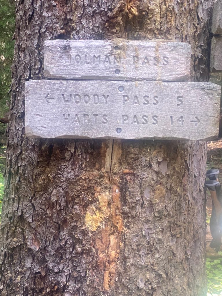
At about 10:30 I get to Holmon Pass and Art is there as well. I sit down to have a meal and Art is eating as well. This is when he tells me about the closure and other interesting facts. Like that the town of Omak has the only stop lights in all of Okanogan county. Brought up because I indicated I needed to get new hiking boots and he told me Omak was the place to do that. A couple PCT hikers came through at this point. Returning from the border and they told us that in 1.6 miles there was a stream and there was no water past that. I just took what they said at face value and did not check out its validity until later. From Holman pass there is a 3 mile, 1500 foot ascent to Rock Pass and then another couple miles to Woody Pass.

PCT 2630 to 2640. Woody Pass is probably my destination

I start the ascent and get to the stream at the 1.6 mile mark and make sure I have filled with water internally and loaded up with water in my 2 2-liter containers. Here are a couple pictures on the way up to Rock Pass.

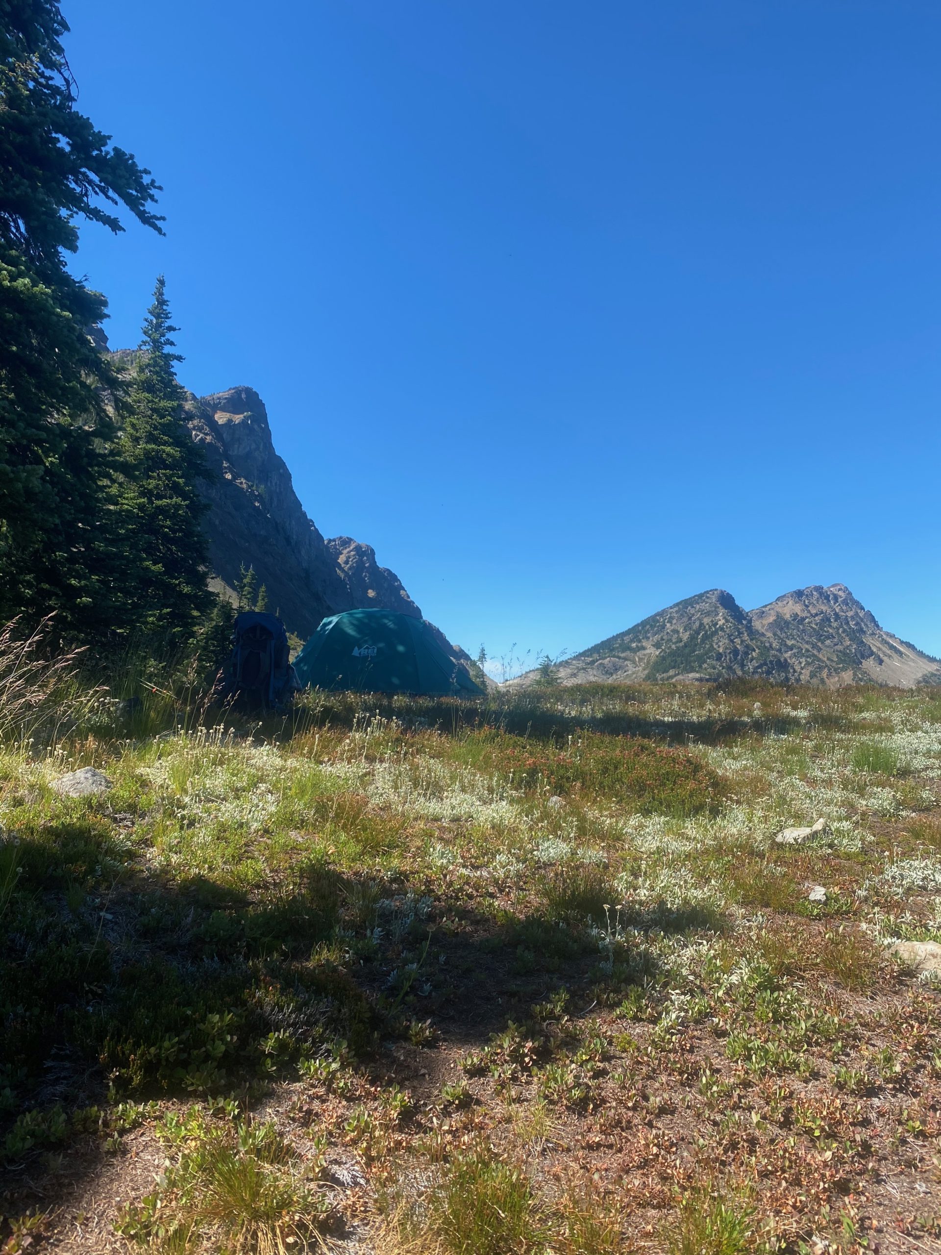
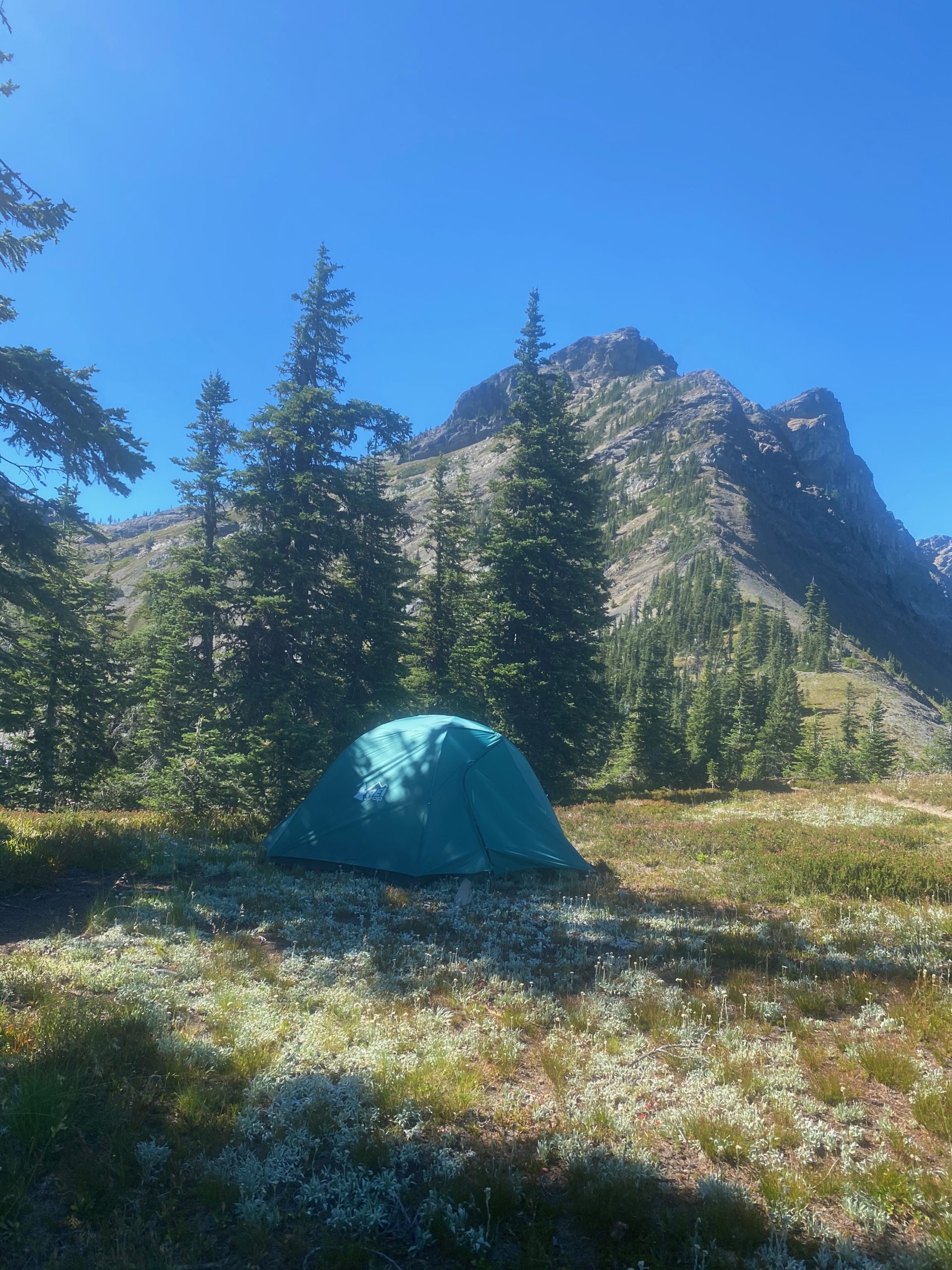
When I get to Rock Pass and can see the path to Woody Pass I decide to set up camp on Rock Pass. Woody Pass is only 2 miles away but involves a descent into the valley and then ascending back up to Woody Pass. Turns out it did not always involve a descent and ascent as the old trail just was a ledge across the rocks from one pass to the other. Apparently it got impossible to maintain the trail on the rocks and so the trail was rerouted down and back up. It is early in the afternoon but the thought of water worries me. After setting up camp, I decide to take a good look at Guthook and see what it has to say. It is obvious that I either misunderstood the hikers or ….. or ….. well I don’t know. I must have misunderstood because there is water up ahead including a full lake full of it :). There is also a sure water spot just before the Canadian border. That takes a load off my mind. Here are some views from Harts Pass. I have a lot of time at Harts Pass and I just hang out and admire the views and eat. The new food plan is definitely working. I’m feeling great and have plenty of energy.