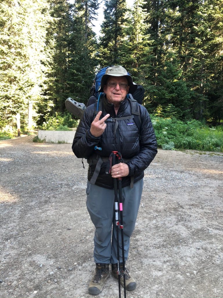
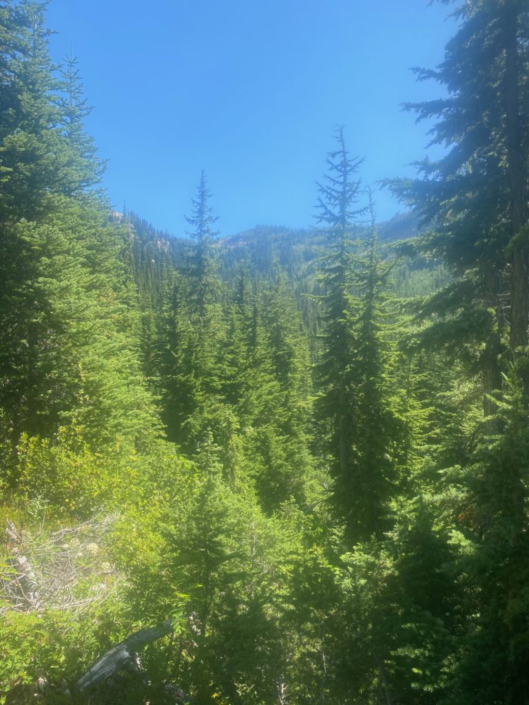
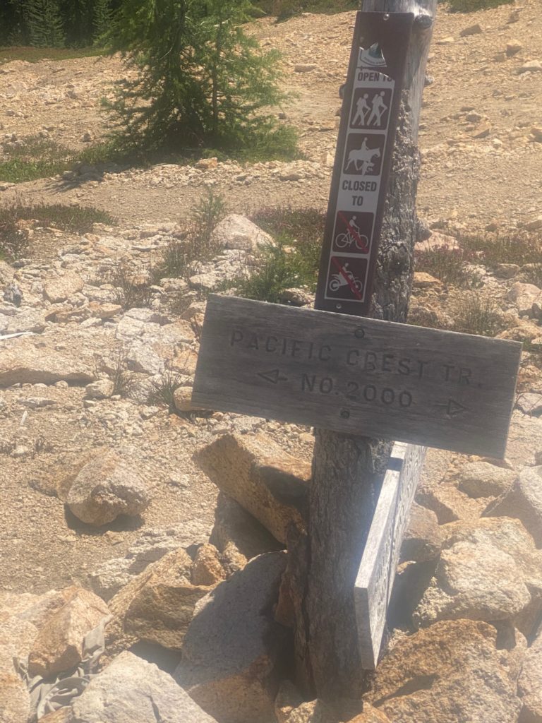
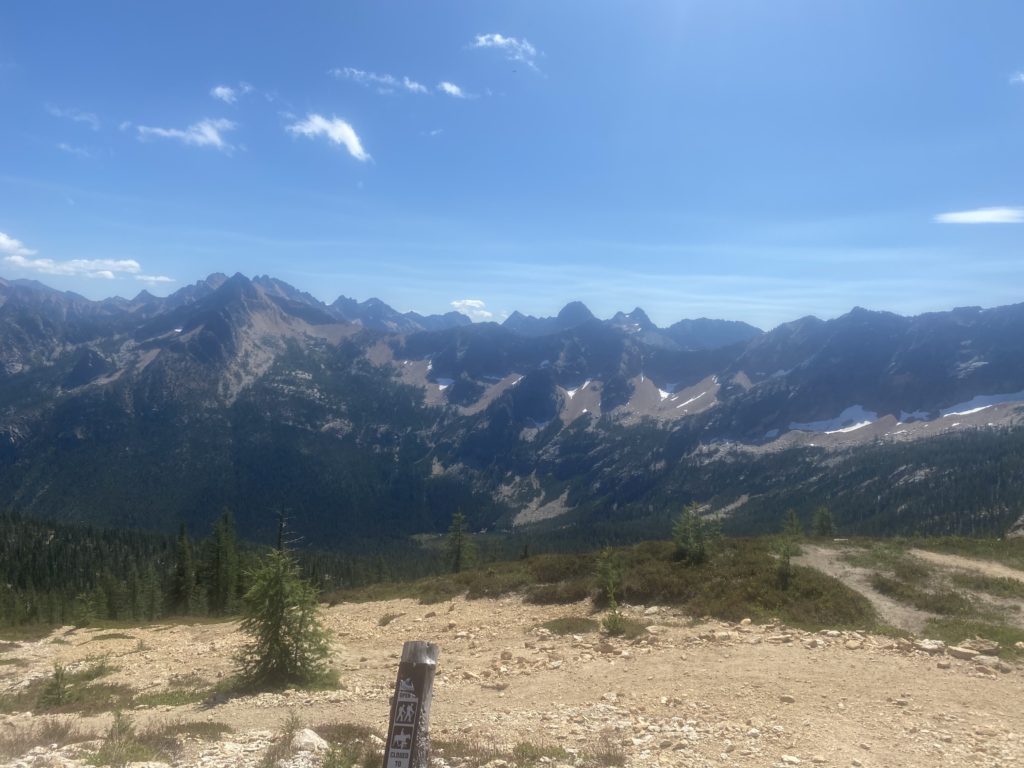
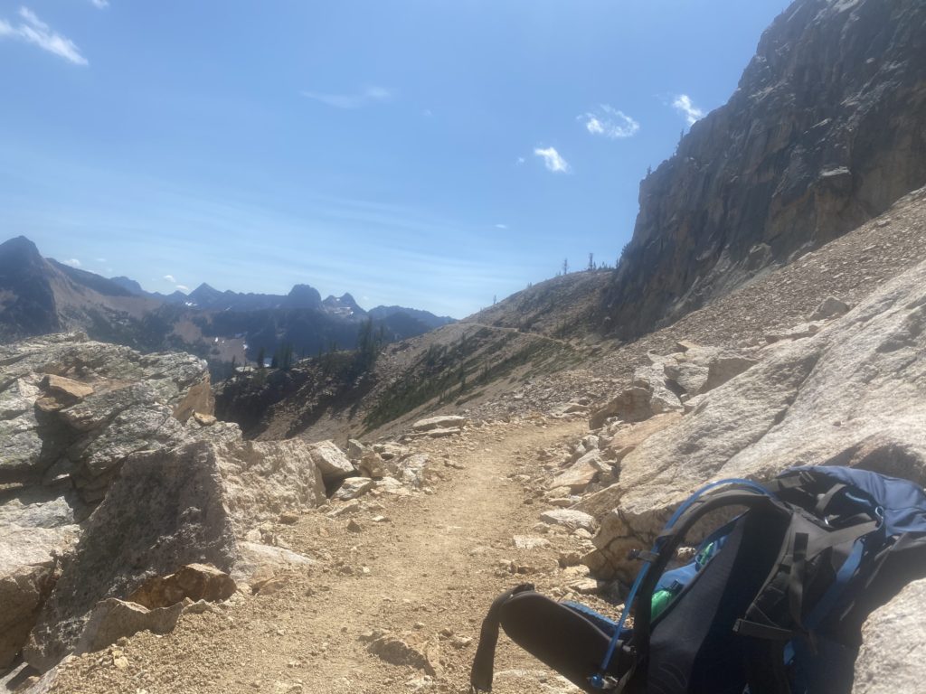
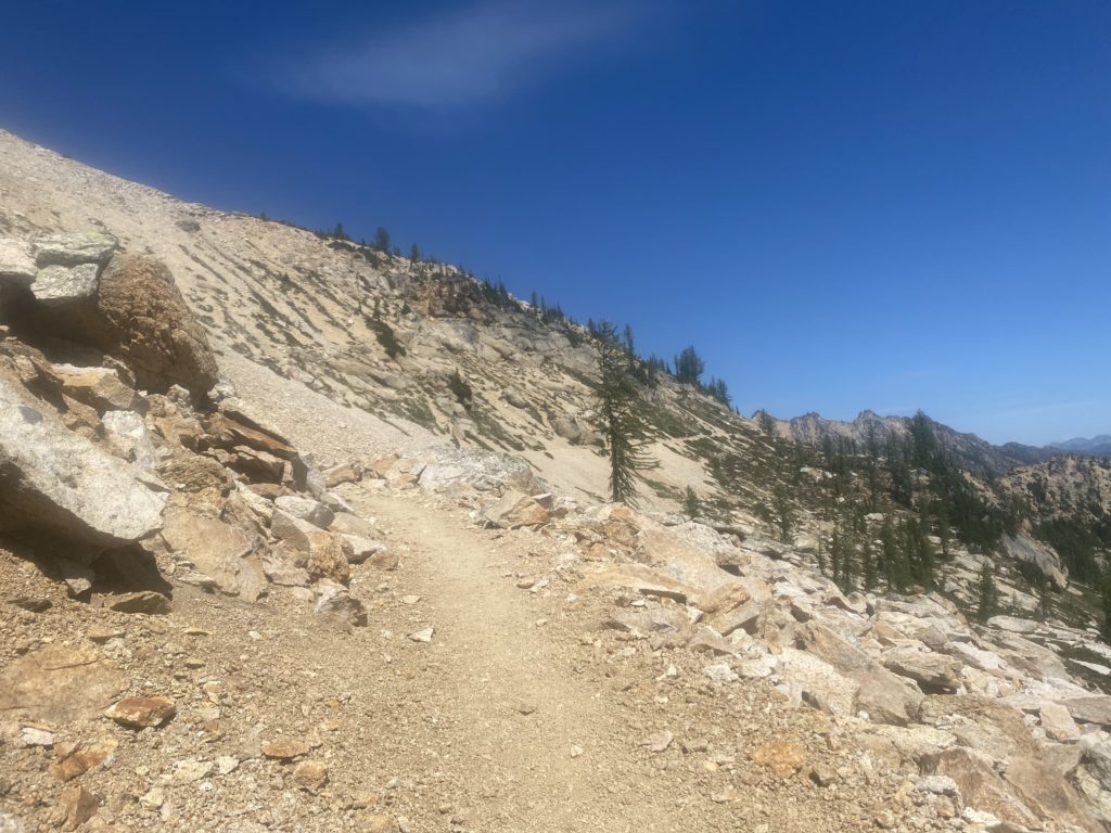
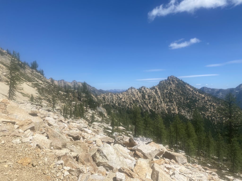
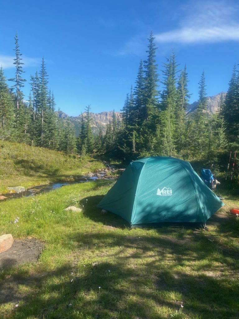
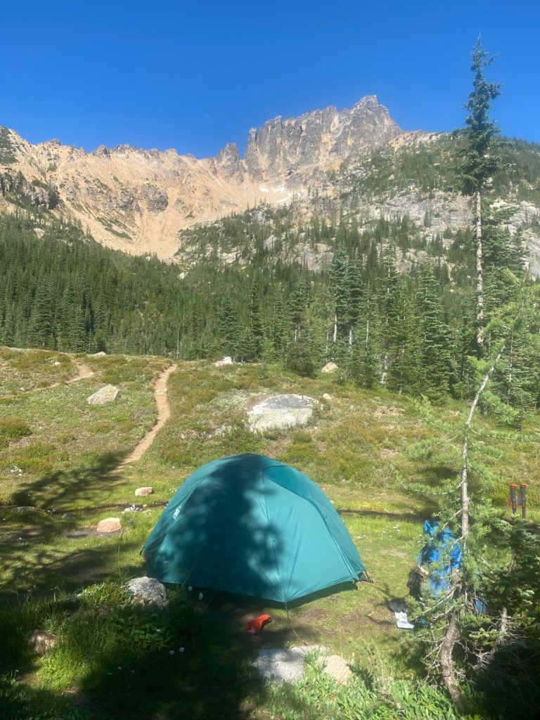
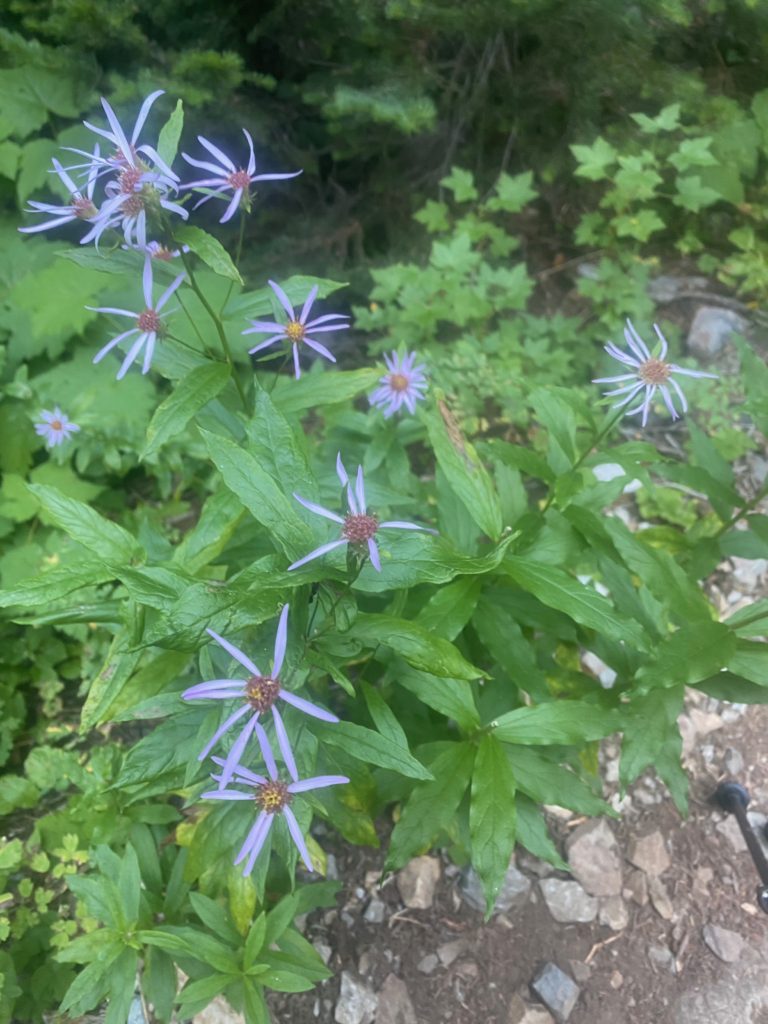
Here we are getting ready to start the hike from Rainy Pass to Skehekin
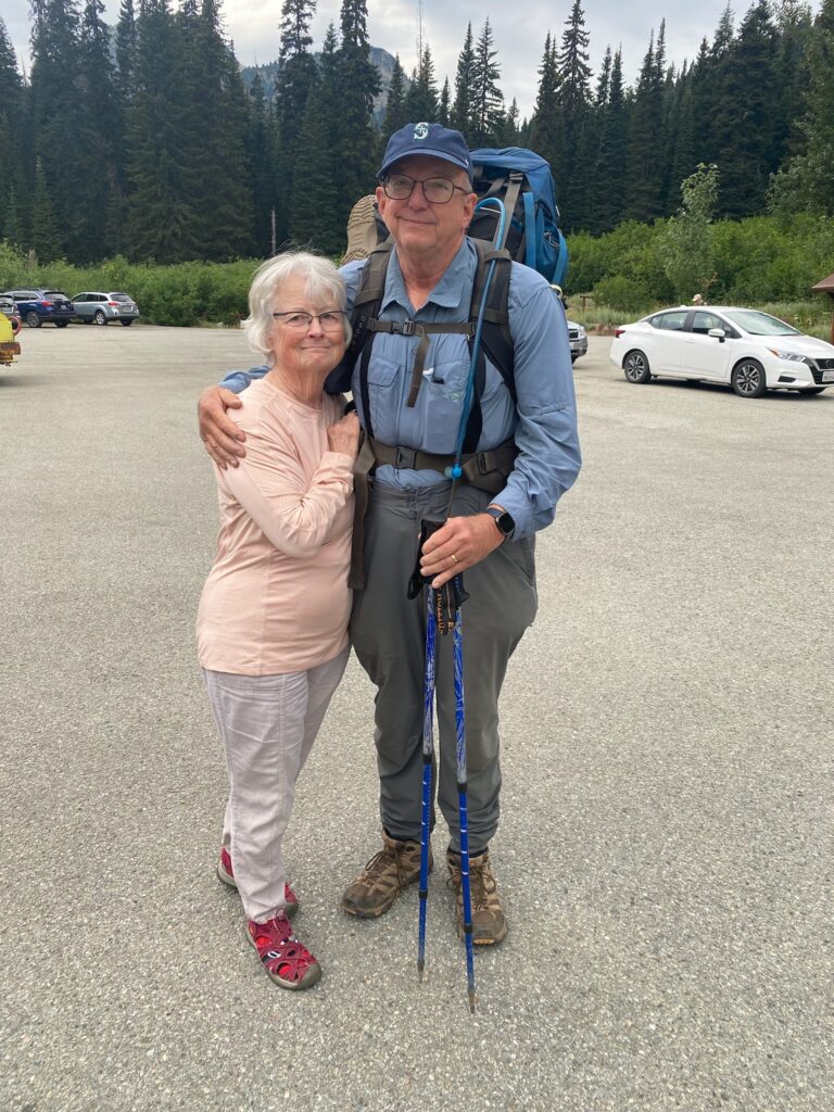
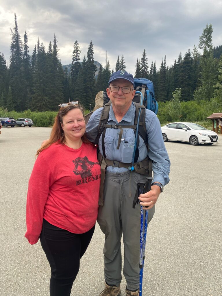
So the original plan was for me to hike between Stevens Pass and Rainy Pass. That is a 130 mile section which has huge elevation changes. Based on my performance I knew that I could not possibly complete this in the time we had allowed. So, we decided I would do from Rainy pass down to Skehekin (about 20 miles) and then we would go south and I would finish up the 20 miles I missed down there in 2020 due to the fires.
It was not until the night before as I was looking at the details of the hike that I realized I was going to be passing through North Cascades National Park where a backcountry permit was required in order to camp within the park. In order to get a backcountry permit you had to pick one up IN PERSON and the nearest pickup up point was 3 1/2 hours away. I went back and forth in my mind about what to do and I just decided I would try to do the 20 miles in one day so I did not have to camp within the precious National Park. There were reports that rangers were about checking for passes. There were no reports about what happened if someone did not have a pass. So far my longest day this year had been about 10 miles. I now needed to do 20 miles to avoid breaking any laws. On paper it did look like a very easy hike even though it is rated as hard.
Probably around 9:30 when Lenora and Martha dropped me off at Rainy Pass and I was off to the races.
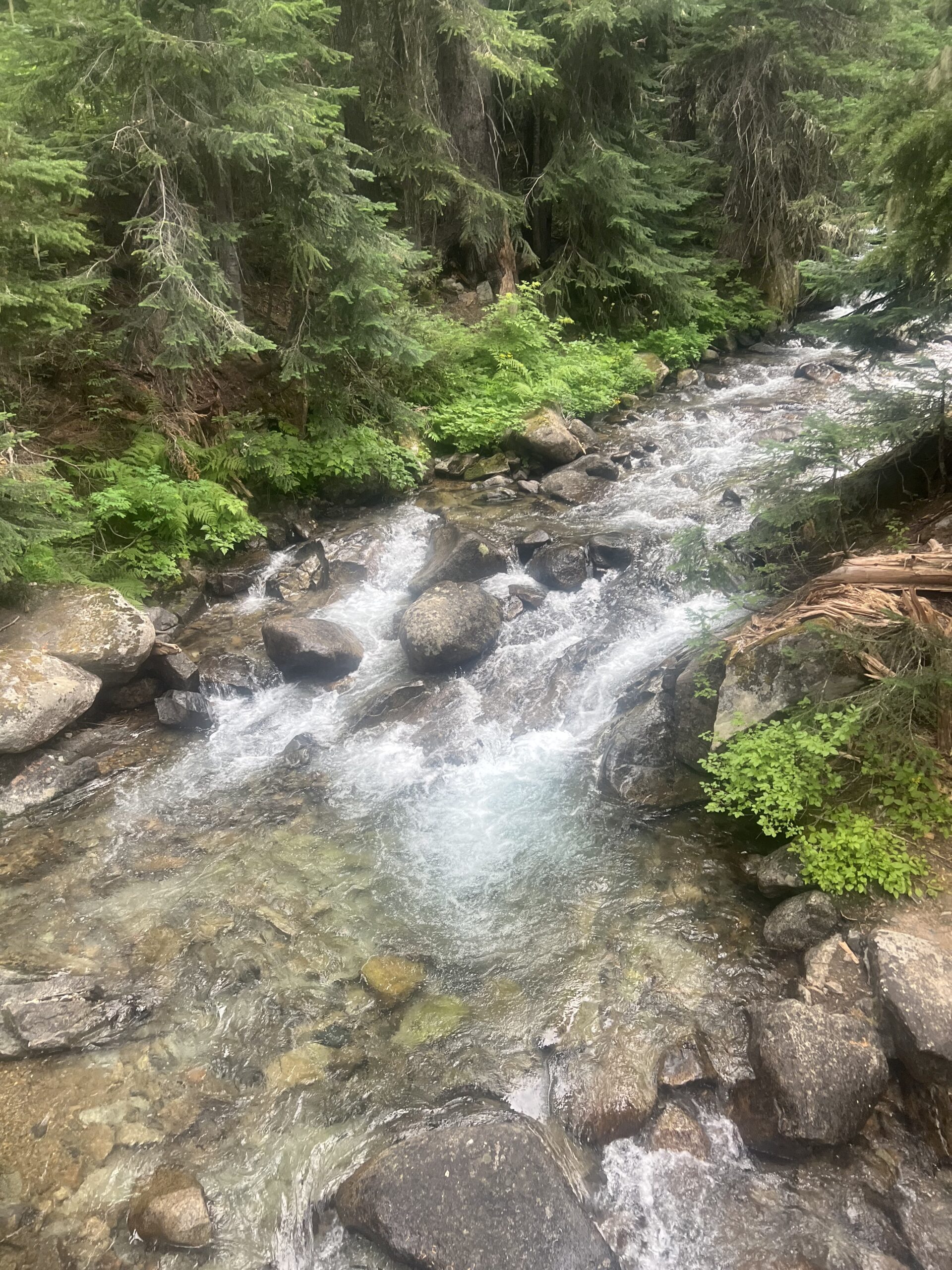
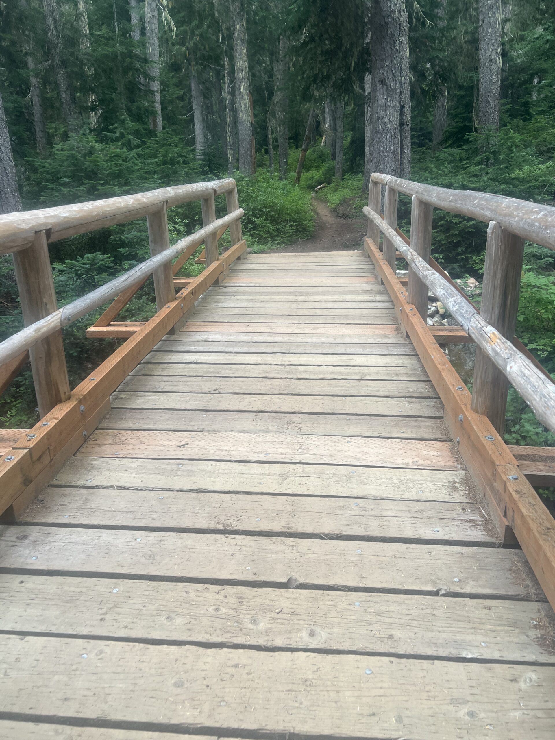
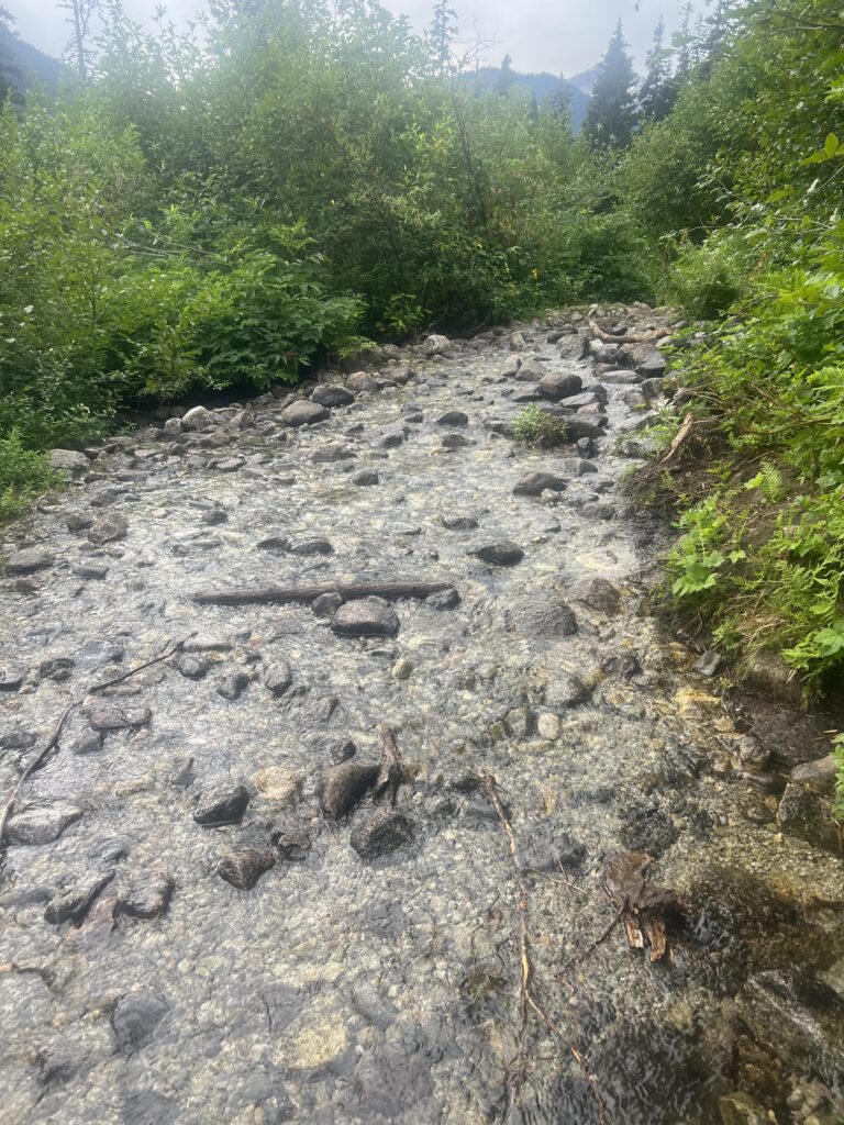
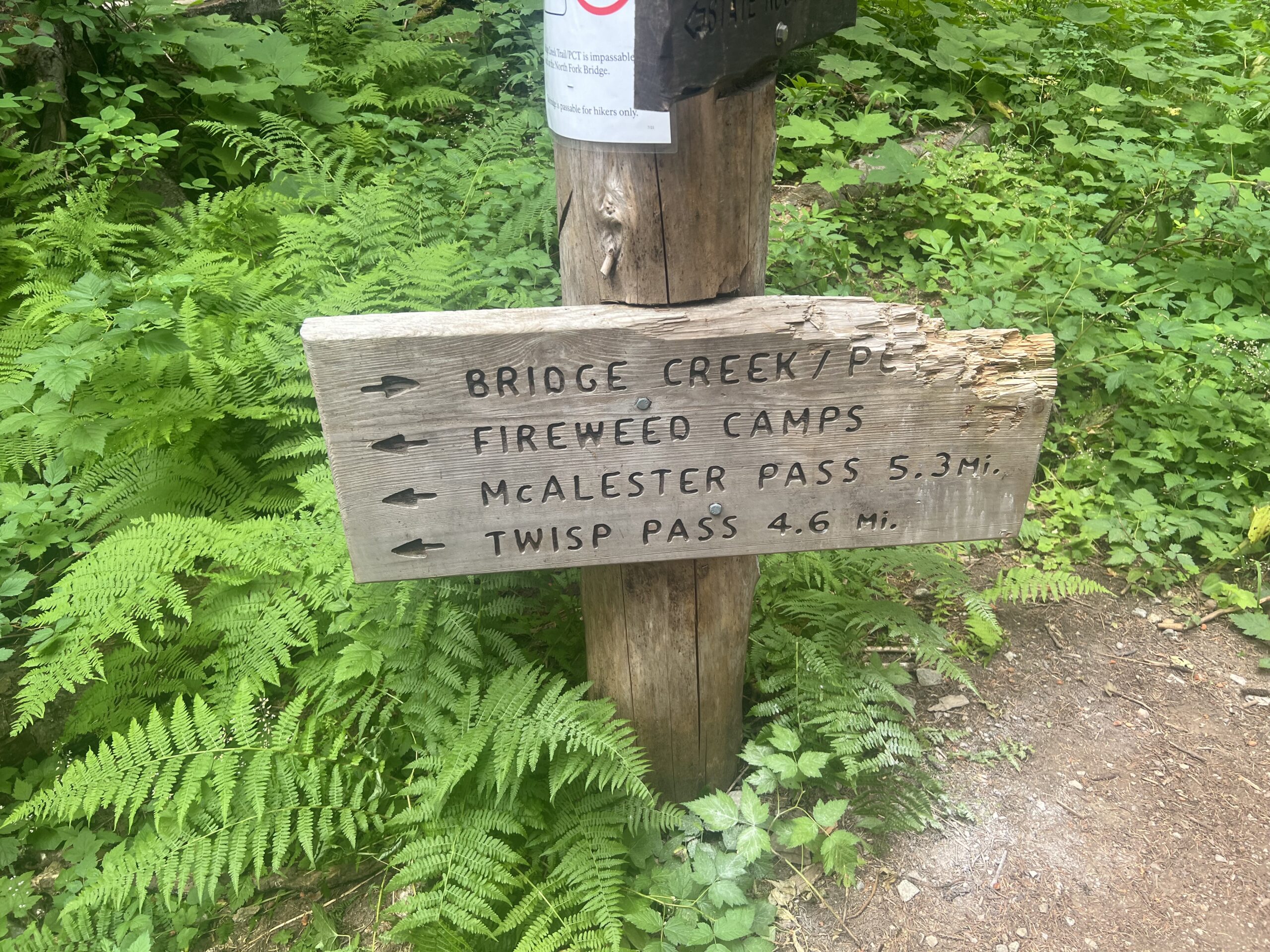
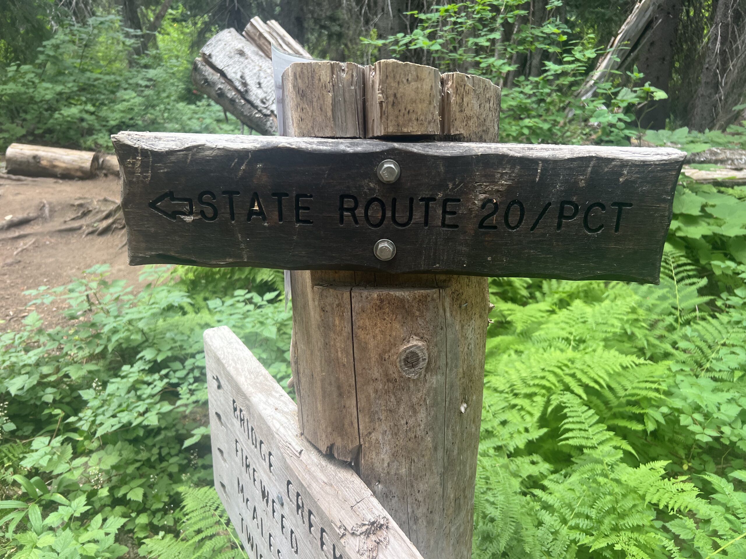
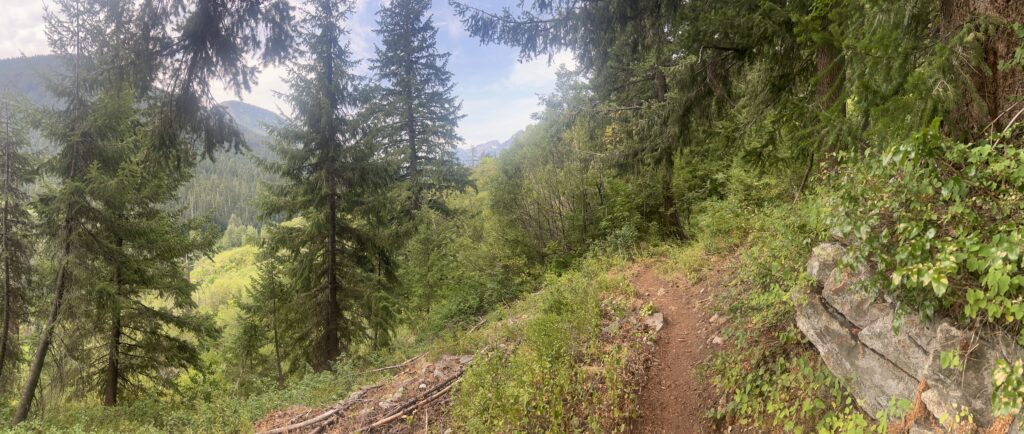
Just past this point I pass the 6-mile camp and then about the 10 mile point I get to Maple Creek. This is a cascading stream that is not too deep but it is above my shoes in depth so I decide to rest here for awhile. Up to this point I have not seem anyone on the trail except the couple I passed early on going the same direction as me. Normally I don’t pass people. Normally there is no one out there that is slower than I am, but I am on a mission today and going a tad faster than usual. Anyway, while waiting to cross Maple Stream a bunch (10 or so) of PCT’ers come from the other direction. Turns out they have all just left Stehekin. You have to get bused out of Stehekin back to the trail and so you tend to have groups of people for awhile after that until they can get separated. Its about 10 miles to the Stehekin bus from Maple Creek. I watch them and there are three ways to cross this creek. Up above a little ways there is a foot bridge. At the bottom there are rocks you can try to balance on to cross. Falling the wrong direction would not be a good thing. Or you can just walk through it. All 3 options were used by one or another of this group. There is a famous bakery in Stehekin where PCT’ers like to get some sweets. Two of the guys that settled down close to me pulled out some cookies to eat. They said the bakery was AMAZING but to be sure to take your wallet because everything was very expensive. One had peanut butter cookies, the other snicker doodles. We talked for awhile and both of them were super excited to almost be to Canada. Both of them were planning on 5 more days. I decided to just walk across the stream. Getting my feet wet at this point did not bother me and in fact it felt good.
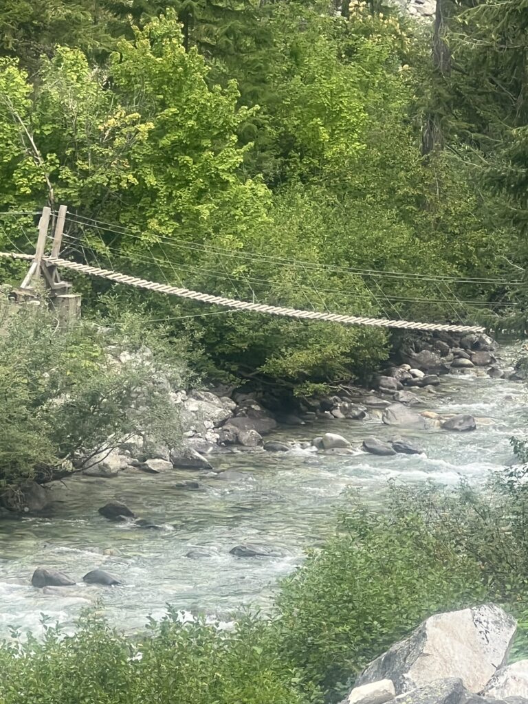
About two miles later I get to Bridge Creek and this time there is really no choice but to use the foot bridge. Now I know there is really no danger here and the sign before the bridge says please don’t jump on the bridge. That will not be a problem for me. I can’t even imagine someone wanting to do so.
Not too much later on I meet another wave of hikers and I just let them pass. One of them stops and asks me if I would like a cinnamon roll. I laughed and either aid sure. He opened his pack and said I could either have a cinnamon roll or a mini loaf of bran bread. I opted for the bran and he gave it too me and showed my his pack. It was full of baked goods from Stehekin. He said he bought $80 worth of stuff and it was just too heavy and he needed to unload some. We both laughed and I thanked him. Perhaps that couple behind me will help him out as well.
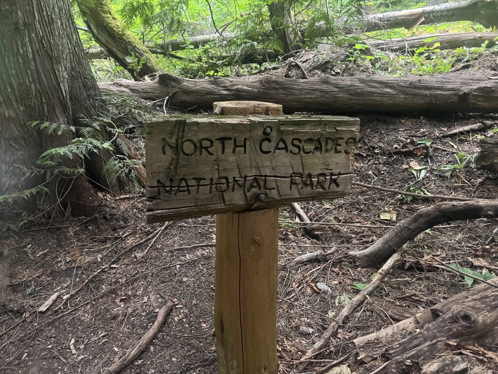
I knew I was going to make it all the way to the Stehekin bus area today but it was still nice when I got to the sign that said I was no longer in the park. I no longer had to worry about some Ranger giving me a ticket or whatever and could camp if I needed to. I passed 3 or 4 campsites within the park and all of them were empty. The only hikers on the trail were PCT hikers.
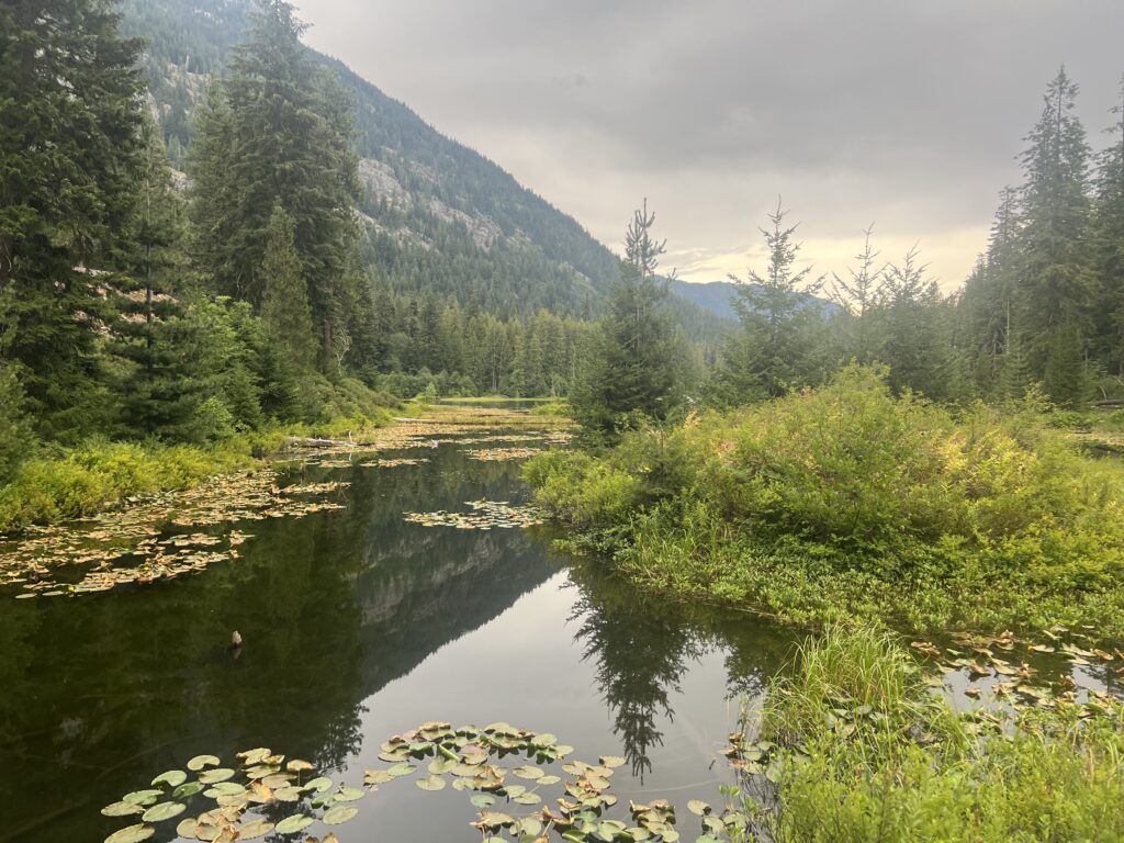
Just after exiting the park you get to Howard Lake. It is quite beautiful and I was surprised there were no campsites around the lake that I could see. Seems like a perfect spot BUT the Stehekin bus site is not very far away (less than a mile) and I’m guessing there is really nobody that wants to camp here. Stehekin is a PCT destination and everyone wants to go there.
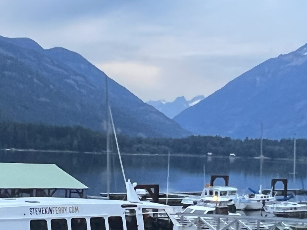
I made it to the Stehekin bus stop but long after the last bus had left. I fully expected to just spend the night there and get the 9am bus in the morning. That was pretty much always the plan, I knew I could not make it in time. However when I arrived there was a group of people there and a large truck. A trail angel had come up to get the late arrivers and I was just in time. 5 of us piled into the back of the truck and 3 into the front and he took us the 11 miles down a dirt road to the town of Skehekin. Now there are only 2 ways to get to Skehekin. The dirt road from the wilderness which is basically used by PCT hikers and a 50 mile ferry ride across the huge Lake Chelan. Apparently a hour after the last bus arrives the town basically shuts down. So when we arrived, it was dark and the street was pretty much empty. The trail angel refused to take any money and told me I owed him only a good deed to someone else. He dropped us by the public laundromat and shower (I wonder why). This place also had a phone that would allow you a 10 minute call. I called Lenora and Martha to let them know I had arrived at the town. When I got off the phone, the other hikers were gone. I had no idea where they went. Skehekin has no phone service (at least no AT&T service) so there was nothing I could look up. I did find one nice lady who vaguely pointed me to where the common PCT camp site was. I located it but it was dark and nothing was going on every flat site I came across was occupied. I gave up looking and walked back into town. I noticed a picnic table near the lake and decided that was as good a place as I was going to find. So that was my bed for the night. The driver did mention that it was rattlesnake birthing season so to take care and where a head lamp so we could see where we were stepping. The top of the picnic table looked pretty good. It was a beautiful night and I slept only a little worse than normal. Keep thinking someone might tell me the park bench was not a valid place for me to sleep. Nobody bothered me and I was up and ready for the day long before the town woke up.

In the light of morning the town was easier to figure out. Martha and Lenora had made me a reservation on a ferry to get me back to the town of Chelan where they could pick me up. There was some confusion because we could only communicate via the InReach device which is great for emergencies but lousy for basic chitchat and information. But the town people were nice and I got on the correct ferry and took a high speed 50 mile 1 hour ride down the lake to the town of Chelan where Lenora and Martha picked me up.
Lake Chelan (Chelan is taken from a Salish word meaning deep water) is 50.5 miles long. Has a maximum depth of about 1500 feet and is the 3rd deepest lake in the US (25th deepest in the world). In the US, only Crater Lake in Oregon and Lake Tahoe in California and Nevada are deeper.
