Tag Archives: Methow Pass

Aug 11, 2020 PCT Mile 2601 to 2610

It was a cold night. I wore two layers of clothing but was not uncomfortable in the sleeping bag and tent. Just really really really did not want to get out of the sleeping bag in the morning. I did manage to get started by about 6:40am. I get back on the trail and immediately see the 2600 mile marker someone made as shown in the picture below. Not exactly 2600 miles this year but really close enough an it was fun to see. The exact mileage of things changes each year because of changes in the trail. That piece of work looks pretty recent to me however.

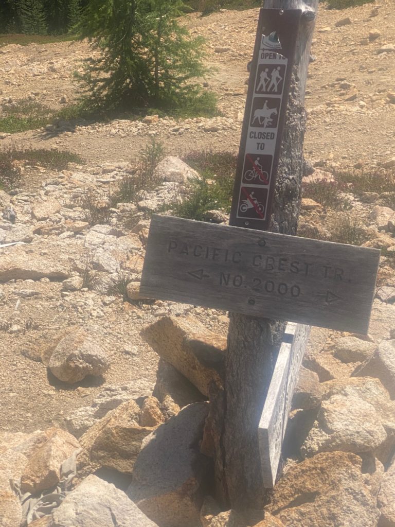
The morning is cold and I remain in two layers of shirts and the miracle Patagonia jacket and gloves to start the hike. By the time I reach Methow Pass about 8am I am warm enough to remove all extra layers.
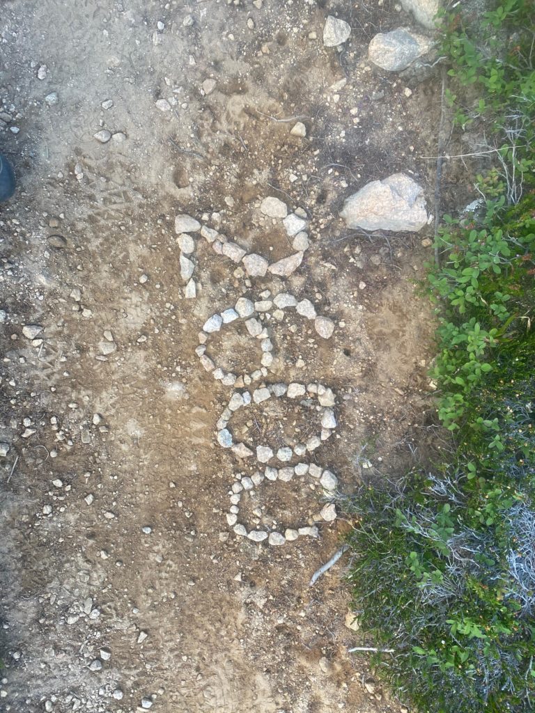
PCT 2601 to 2610 Start the day and see this. Nice someone would take the time

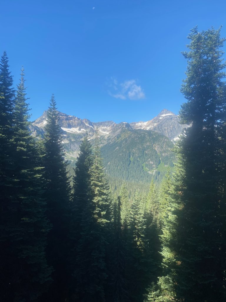
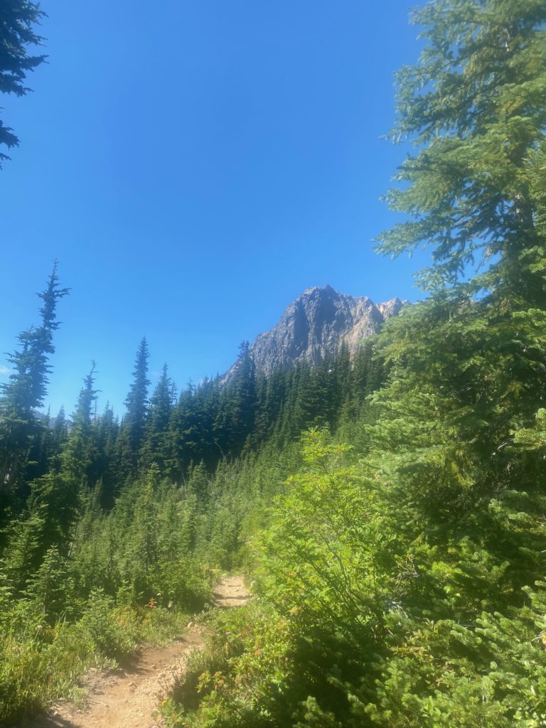
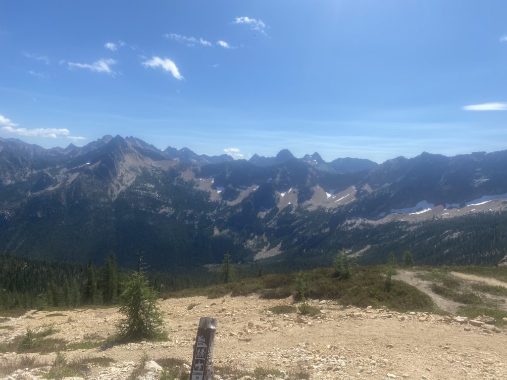
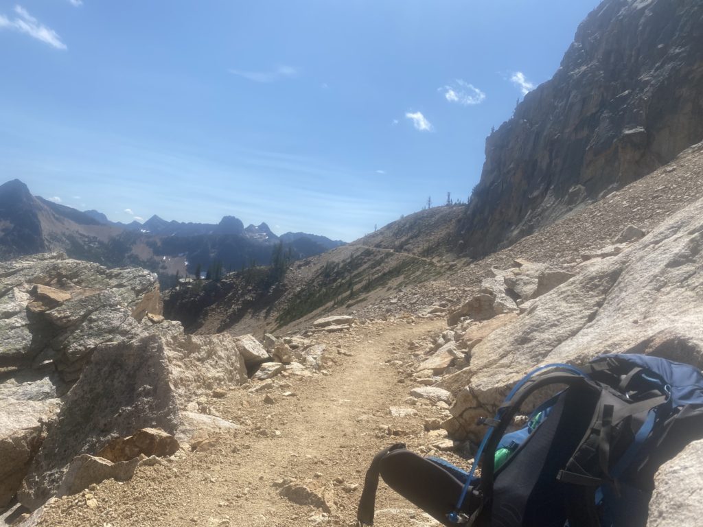
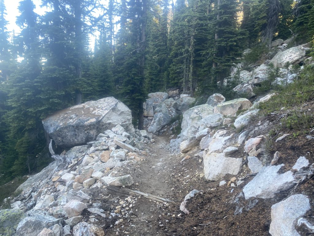
About 40 minutes into the day I decide to take a little video of my surroundings. Beautiful. I was told by one of the locals that this area is pretty but the area north of Harts Pass to the border is even more stunning. The boulders in the picture below are just before getting to Methow Pass.
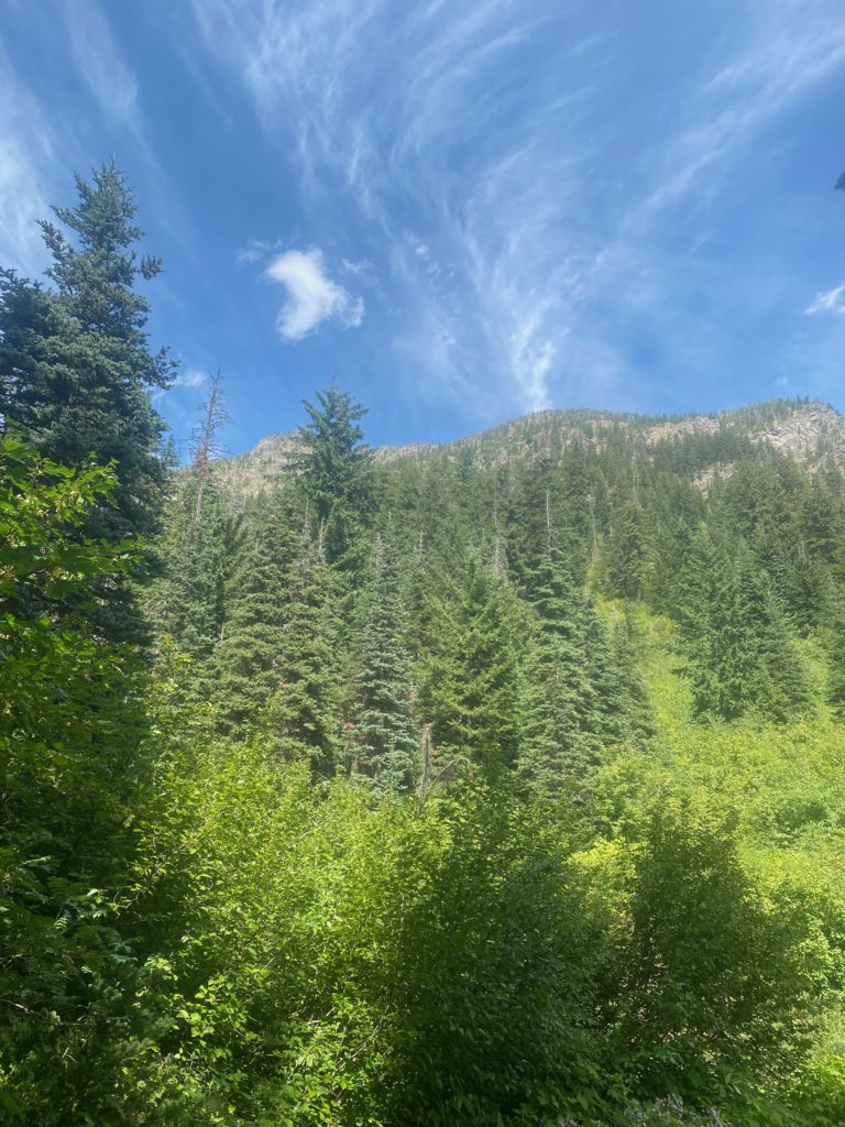
PCT 2601 to 2610 Just a look around
PCT 2601 to 2610 Impressive boulders by trail
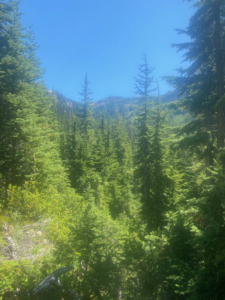
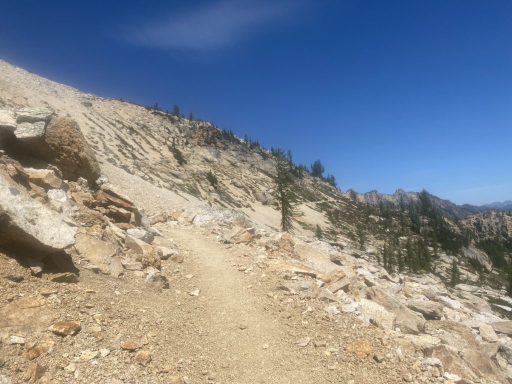
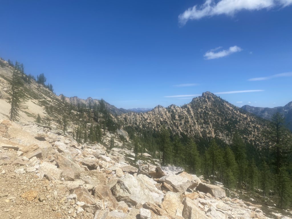
PCT 2601 to 2610 Just pretty

From Methow Pass it is a steep descent to Golden Creek and the Methow River. This descent was very hard on my back but at least my hip seems to be able to handle it now. However, I will stopping pretty soon as the back gets more and more tender. It will be an early day. I did stop at Golden Creek and ate some macaroni and cheese. It went down pretty good and I was happy about that. Speaking of Methow, the name of the river and the pass comes from the Methow Native Americans. For more info see: https://en.wikipedia.org/wiki/Methow_River
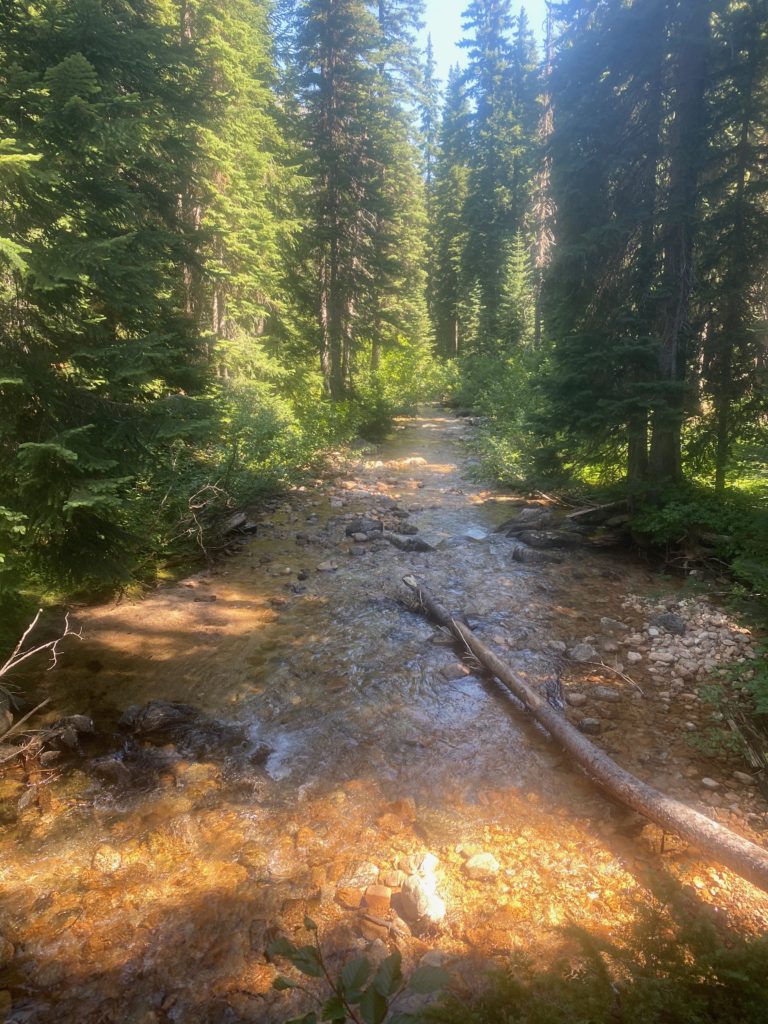
PCT 2601 to 2610 Methow River

So I ended up stopping at Brush Creek at about 2pm. Very early but my back is sore and the next possible site is too far away and from Brush Creek there is a steep ascent to Grasshopper Pass.

When we ate at the Pastime Brewery in Oroville the waiter gave me a painted rock and asked me to place it somewhere on the PCT for someone to find. Decided to plant the rock here at the Brush Creek campsite.
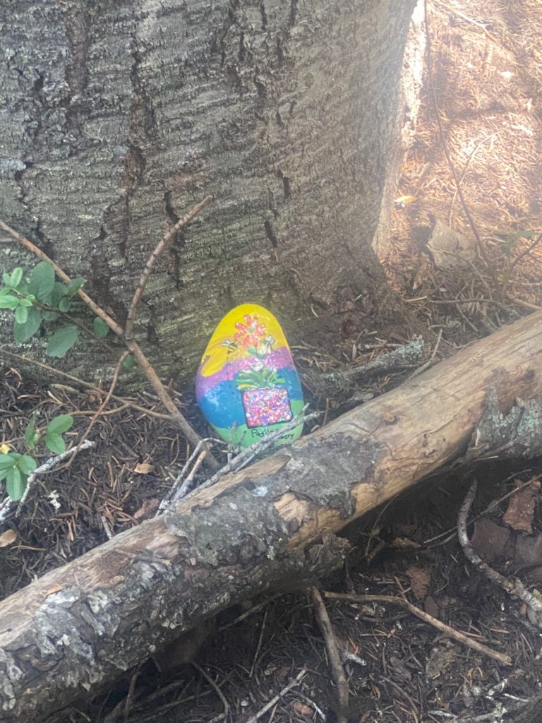
PCT 2601 to 2610 Placing the painted rock got from Brewery in Oroville

The video below shows my campsite and surrounding area. While I was making the video another hiker arrived and waited for me to complete. She is actually in the video. She would not proceed until I got off the bridge. So I backed off the bridge and got off the trail a bit and then she put on her mask and crossed the bridge and went past me. I had another meal here of oatmeal and fruit. 2 meals in one day is a record. I knew I would need fuel for the next day because after Brush Creek a rather long and steep ascent looms.

PCT 2601 to 2610 My camp site. Notice cameo by unknown lady hiker
  • Miles: 9
  • Steps: 21334
  • PCT Mile: 2610
  • Elevation: 4307
  • Location: https://w3w.co/vindicated.pulp.serving

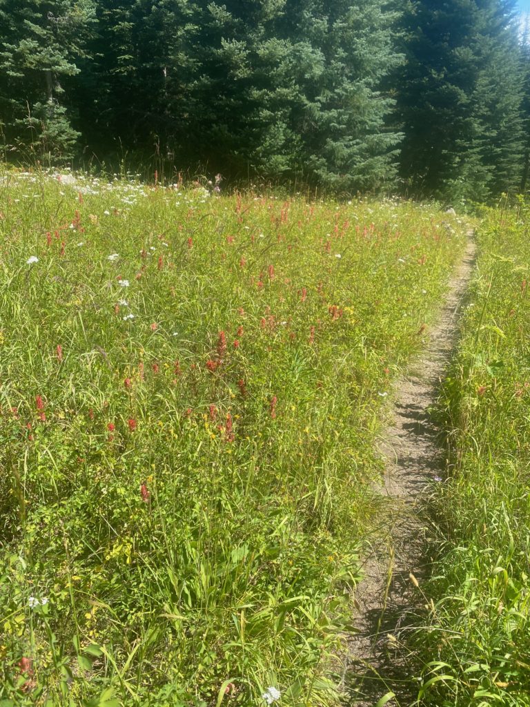
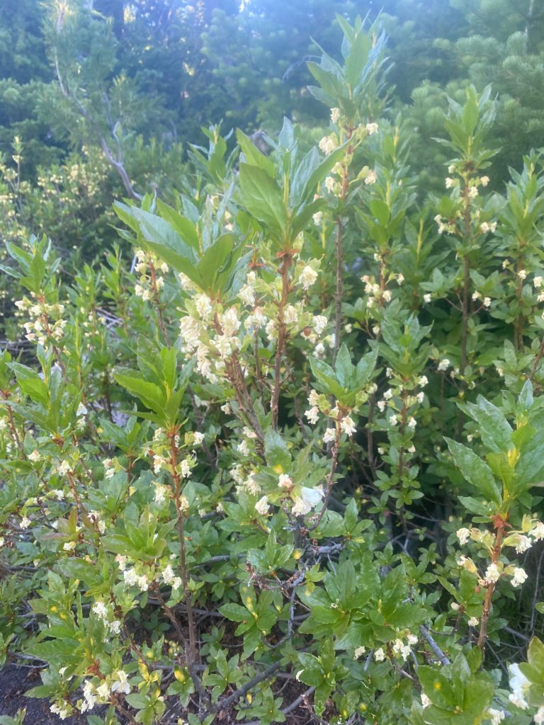
Some wildflowers seen along this part of the trail
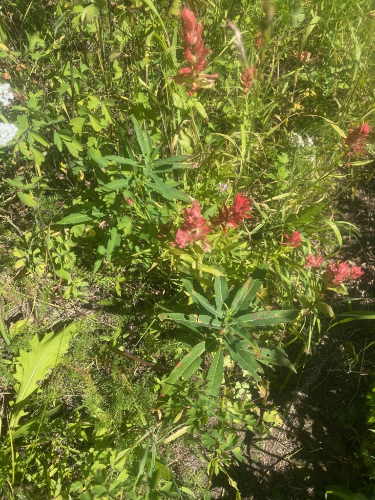
PCT 2601 to 2610 Giant red Indian Paintbrush
PCT 2601 to 2610 Field of flowers
PCT 2601 to 2610 Indian Plum

Aug 10, 2020 PCT Mile 2591 to 2601

So some adjustments were made to what I am taking with me and my pack is now a manageable weight of probably 45 pounds. Only going to carry 3 days for food and then Martha and Lenora will resupply me at Harts Pass. To make that possible we are moving up north and a LOT closer to the Oroville base home. This second send off will start at Rainy Pass, which is about 2.5 hours from Oroville. Plan is to hike to Harts Pass (30 miles) and then get resupplied and go to the border and back to Harts Pass (60 miles). That’s the plan 🙂 It is colder up here as a cool front has moved in. About 45 degrees at the start of the day. So I started out with the coat on but that got removed with a couple miles.

PCT 2591 to 2601 The second send-off

So not very far up the trail I come across the waterfall shown below. Really beautiful.

The views are spectacular and I can’t help but notice that there is snow in them there hills. Not sure if it reaches down to the trail or even if I heading towards those hills. Turns out those mountains are on the opposite side of the valley from where the PCT runs

PCT 2591 to 2601 Bit of snow up there

So of course the trail starts out ascending and eventually get to Cutthroat Pass where there is a sign to let me know I am still on the trail. Pretty view of the mountains from here. Cutthroat Pass (7000 feet) is a little over 5 miles from Rainy Pass (5000 feet). Started at 9am and got to Cutthroat Pass at about 1pm.

PCT 2591 to 2601 Always good to know you are on the trail
PCT 2591 to 2601 A look from Cutthroat Pass
PCT 2591 to 2601 A look back from a wide part of the trail
PCT 2591 to 2601 A look ahead
PCT 2591 to 2601 A look out

Once you get past Cutthroat Pass the trail levels out but is like walking on a ledge on the side of a building. The trail is narrow and tripping is not an option. Apparently nobody trips because if you go over the edge there is nothing to stop you from basically falling down a mountain. When the trail is hard dirt or rock there is really no worry. However when the trail becomes loose and pebbles, is narrow, and is slanted to side toward sure death it is a different matter. I’ve always thought the books I read about the PCT overplayed the dangers of the trail because until now I have never felt threatened on the trail. However these narrow loose pebbled ledges did give me some concern. I have no idea how this could be traversed in snow or even in rain. Obviously it is done by thousands of hikers each year.

All the people I’m seeing are local hikers and all of them wear a mask to pass me. Just so strange. I’m not wearing a mask. I have one just in case there is some issue but I don’t wear it when just passing someone on the trail.

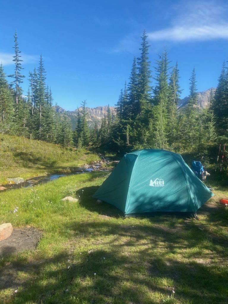
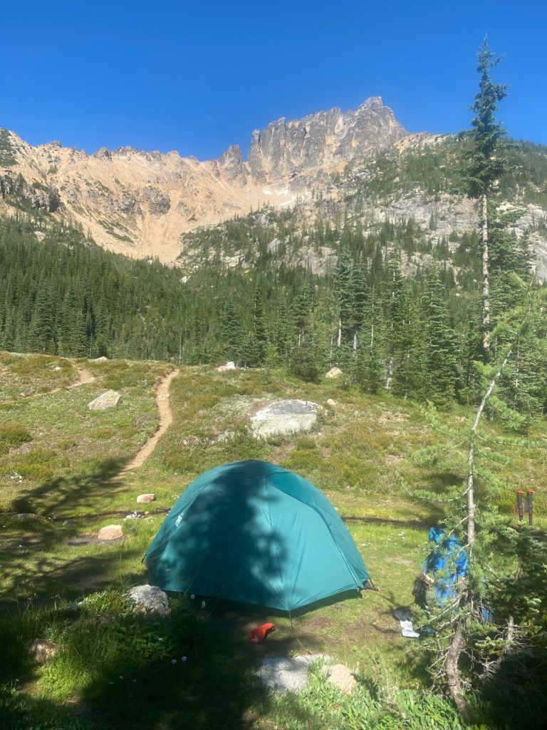
After going level for awhile on ledge you start going straight down via a series of switchbacks to Granite Pass at about 6200 feet. Then you go level again on a ledge until the ascent starts to Methow Pass. I stop for the day just before that ascend at a beautiful spot with a creek right beside my tent. Below are some views from my camping site. Spectacular! It was windy here and was the first time I actually had to stake down the tent. I stopped around 4:30 and was glad I did as 30 minutes later and the place was filled with local hikers. Some even had to keep going to the next camping site. Because the trail is basically on a ledge most of the time, there are limited places where you can camp.

PCT 2591 to 2601 Tent site by stream
PCT 2591 to 2601 Looking out from tent site. Beautiful mountains

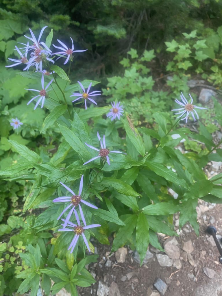
PCT 2591 to 2601 Smooth Blue Aster