Not the greatest night. Perhaps the thought of rain at any moment. Perhaps because I had to turn around. Got up early and had breakfast and packed up the camp. It did not rain during the night but just as I was completing the packing up it did start to drizzle and it drizzled for about 6 hours. I covered the pack while hiking but did not feel the need to put on any rain gear. It was one of those annoying rains that is enough to get you wet over time but does not seem worthy of rain gear. Harts Pass is about 15 miles away and I’m pretty sure I will make it today. Not positive but pretty sure. Not sure enough to alert Martha and Lenora.
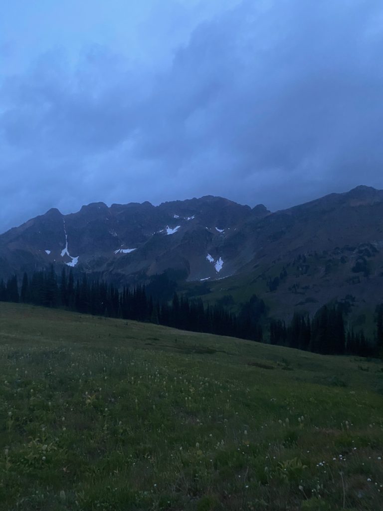
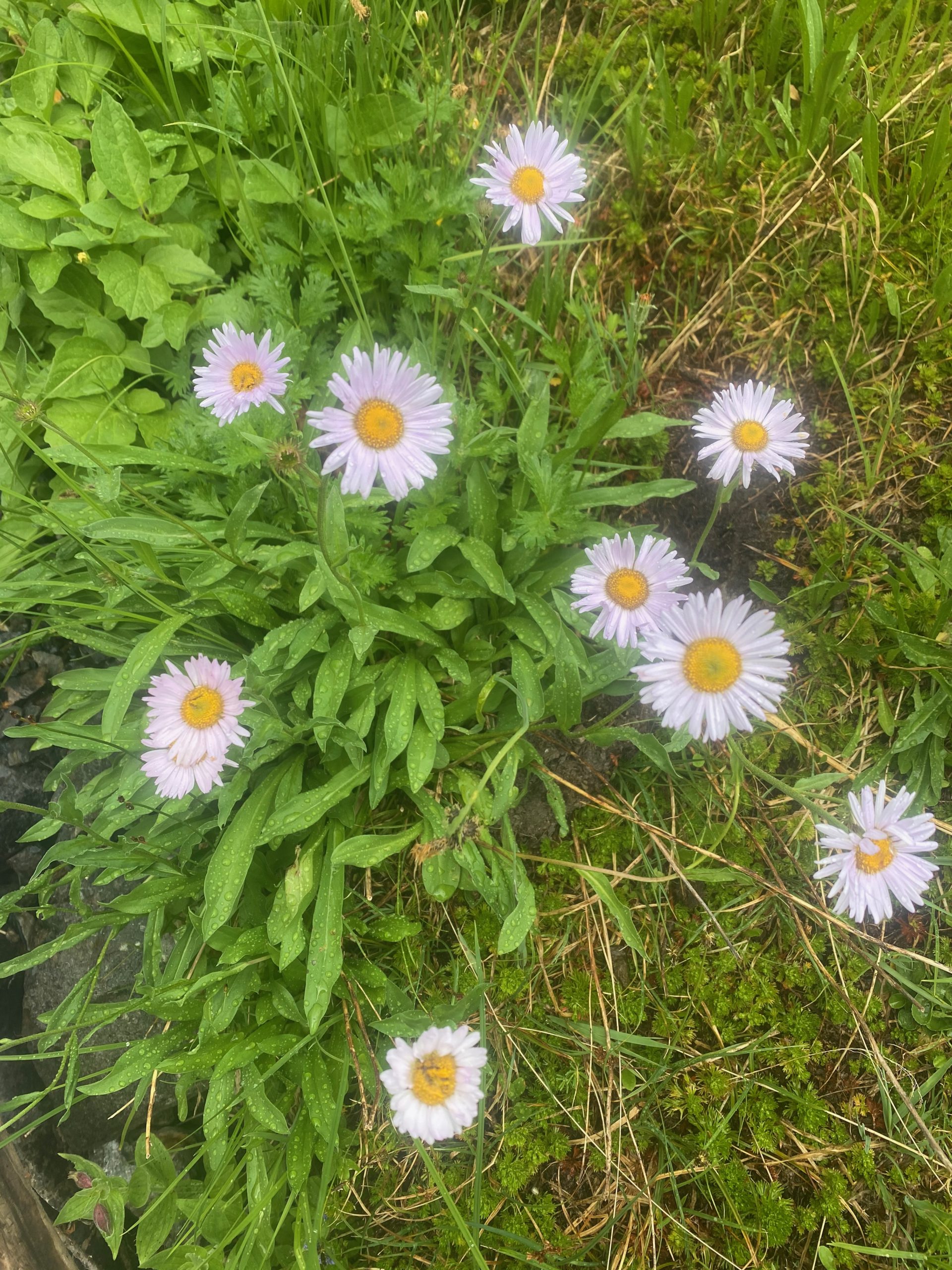
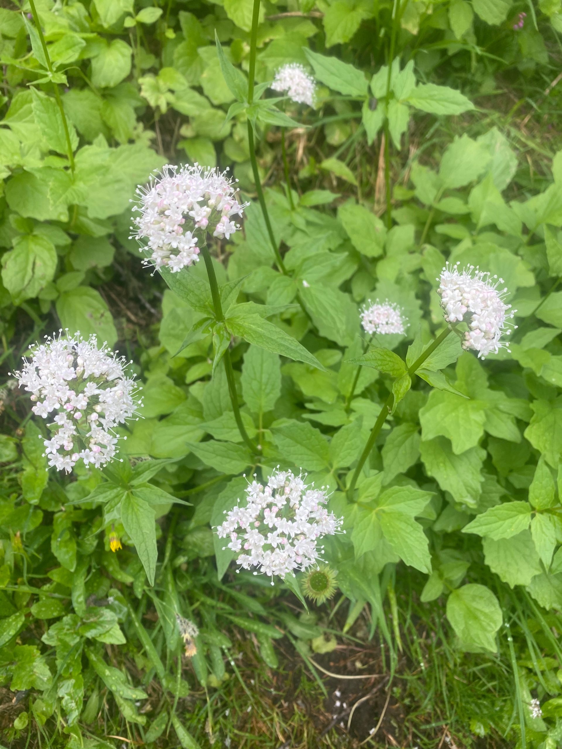
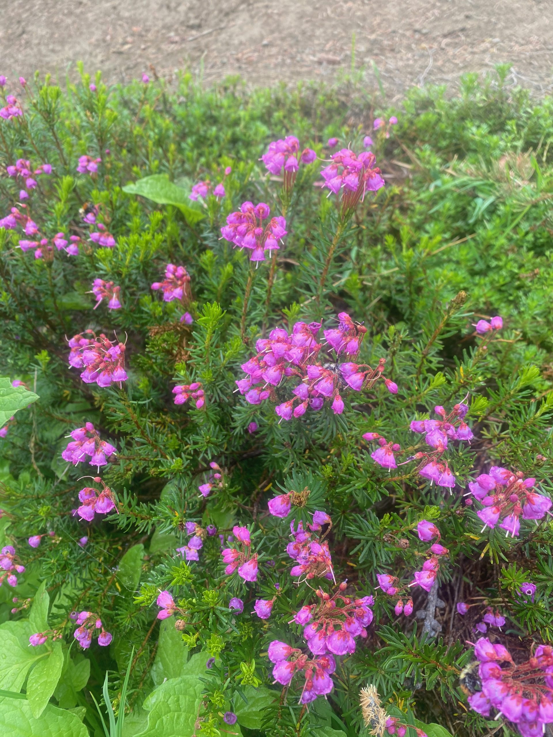
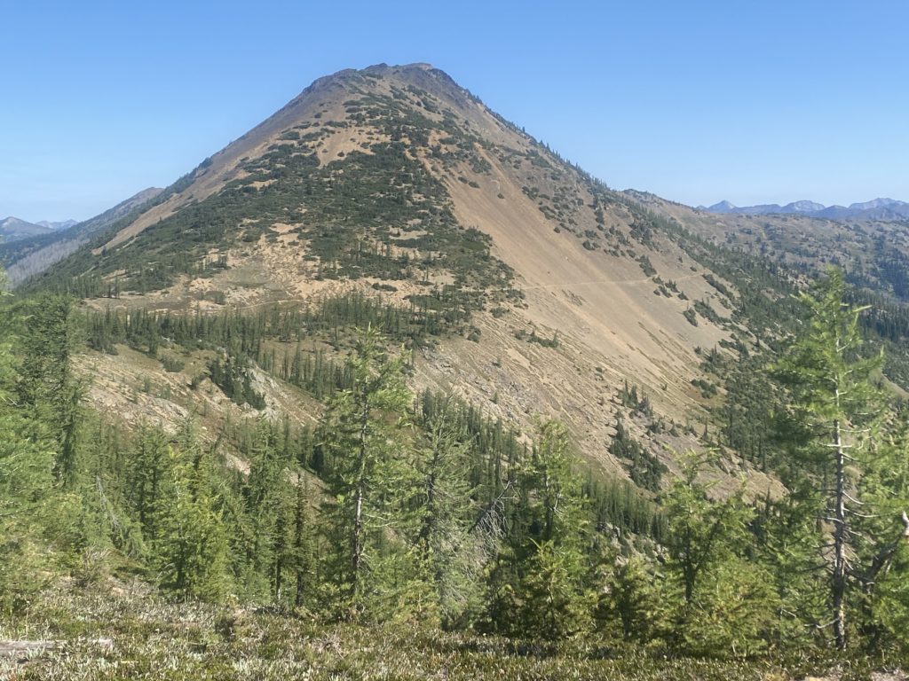
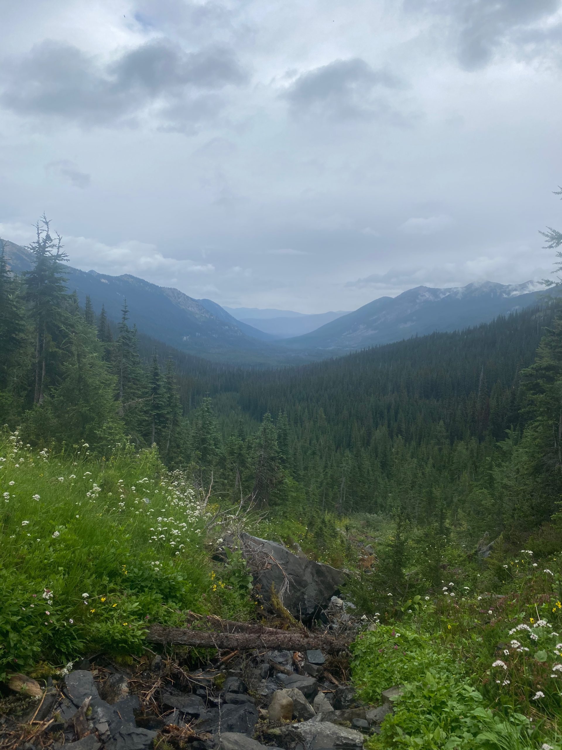
When I get back to the stream where I met Art on the way up, I paused to have something to eat and I wanted to take some pictures of the beautiful valley and the wild flowers around the stream. I remembered the view of the valley from the first crossing and wanted to get a picture of it.
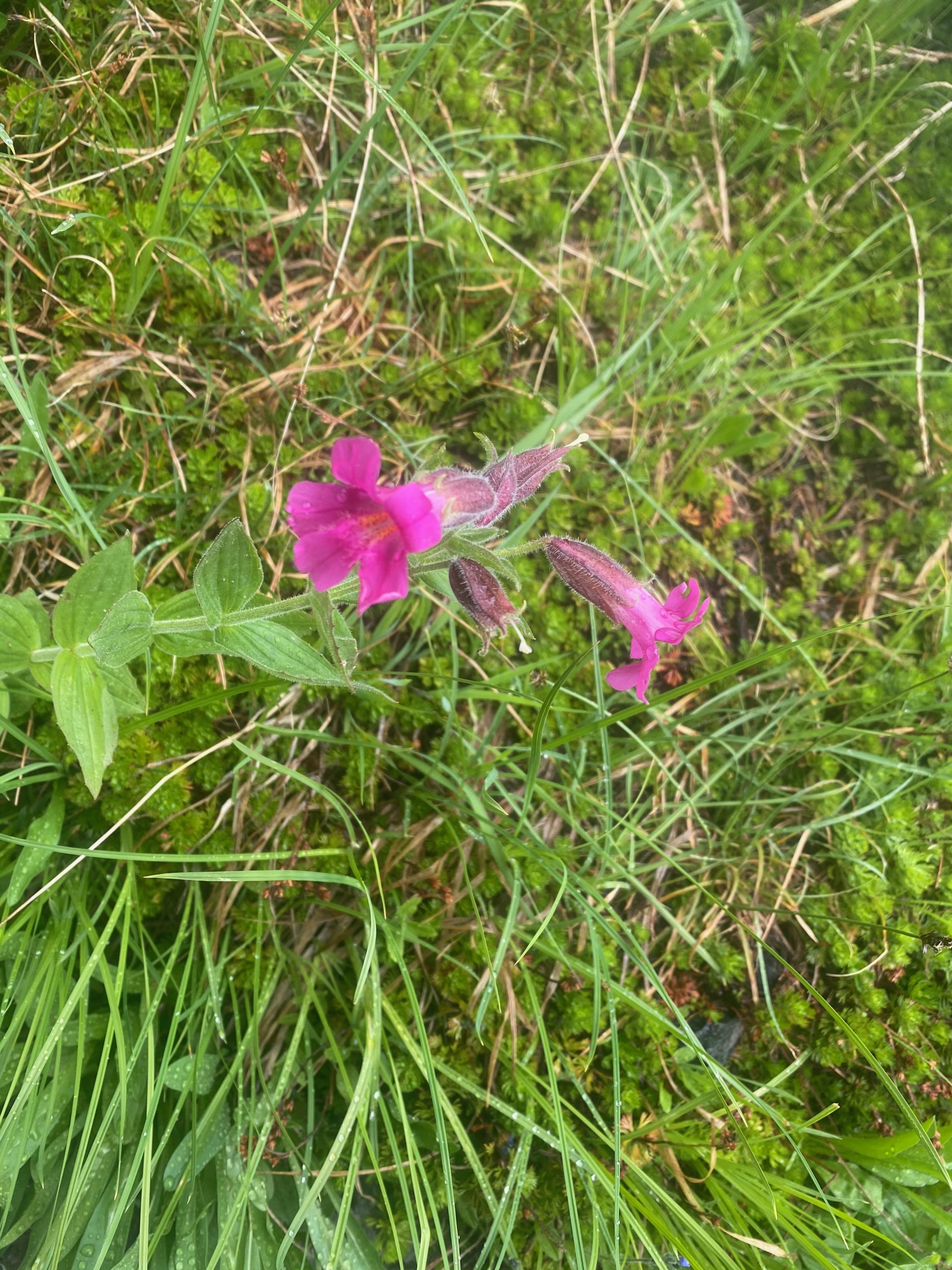
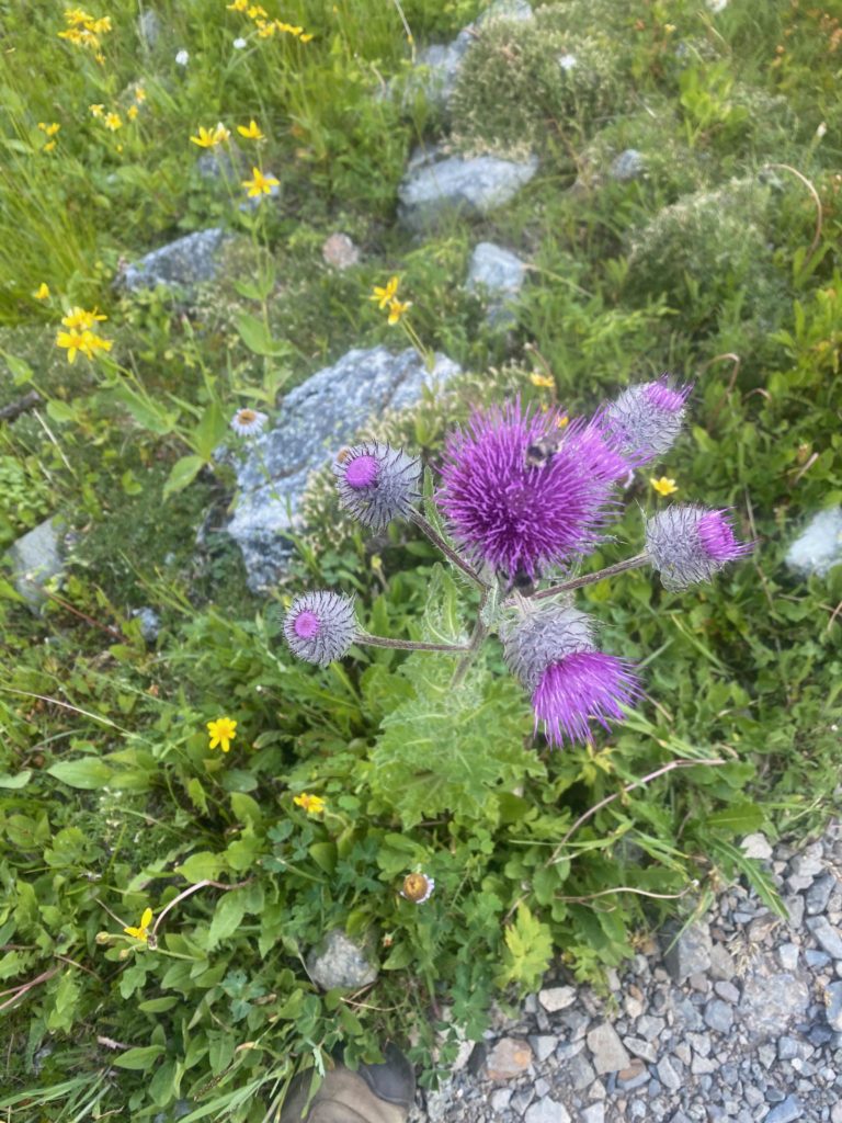
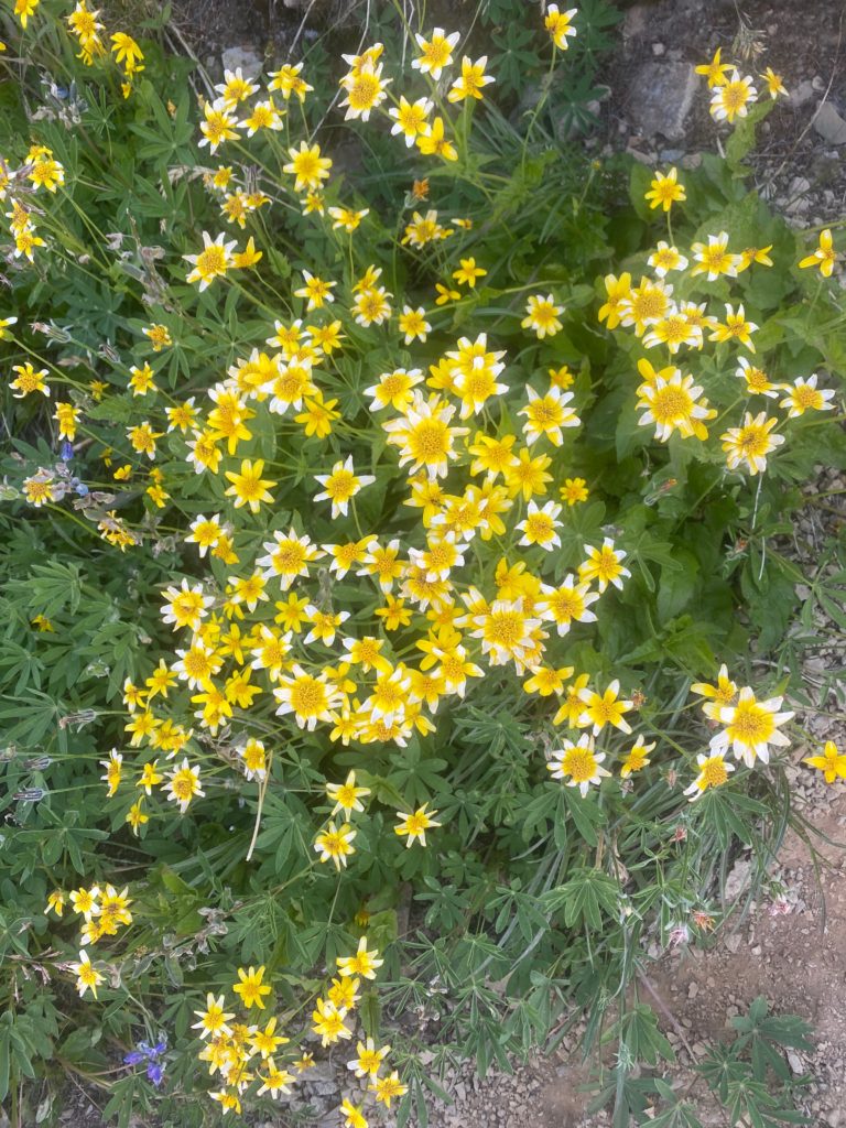
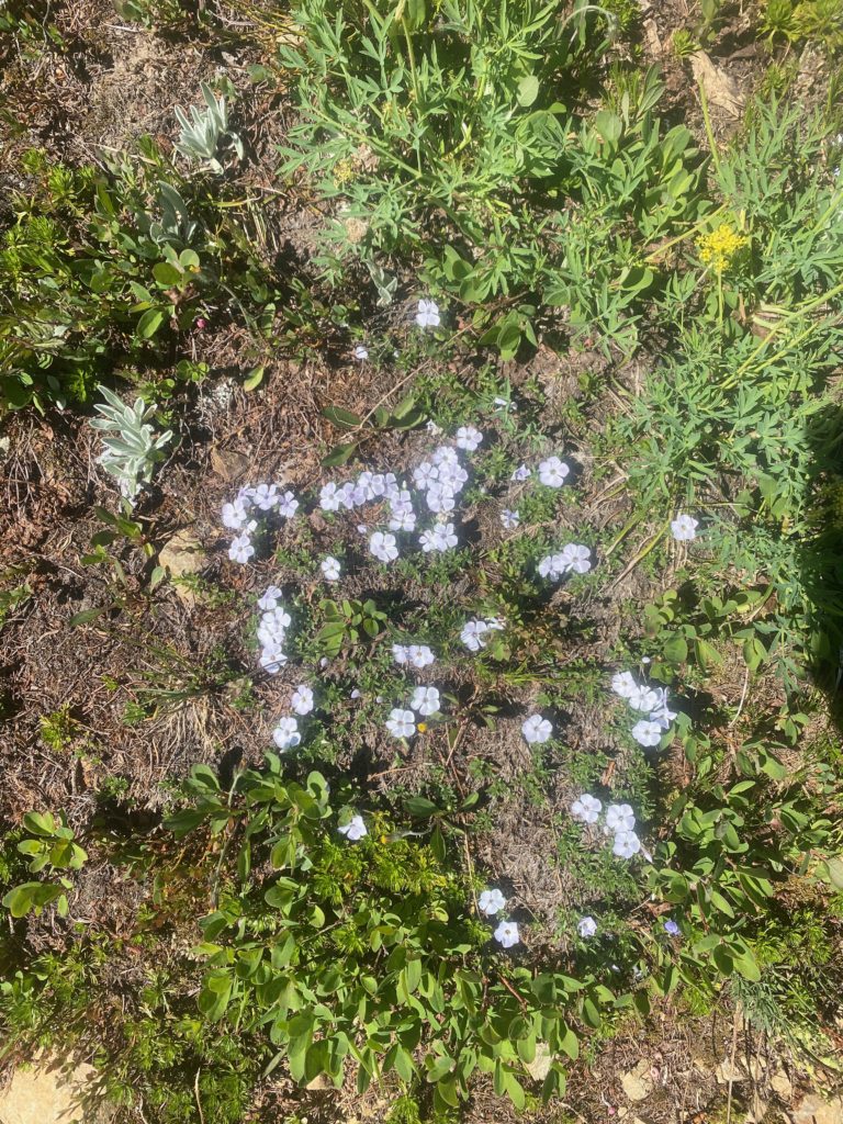
Somewhere on the way back the flower below caught my eye. It seemed to be catching the rain and directing it to the middle of the cluster. The rain drop looked like a shinny bobble in the middle of the flower.
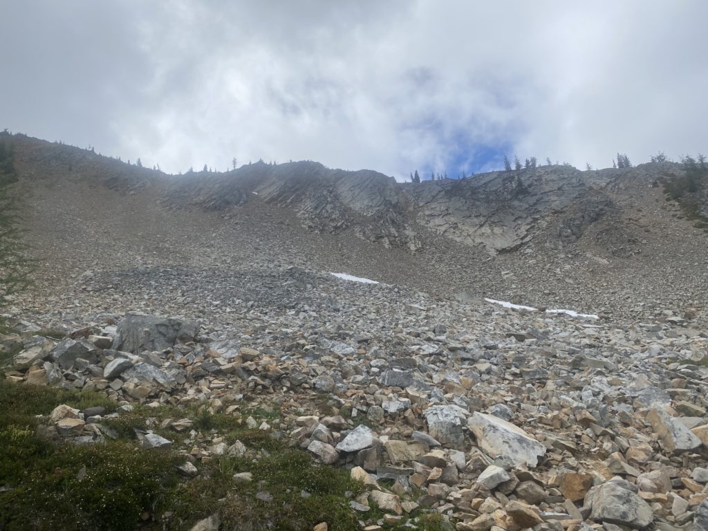
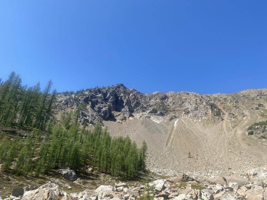
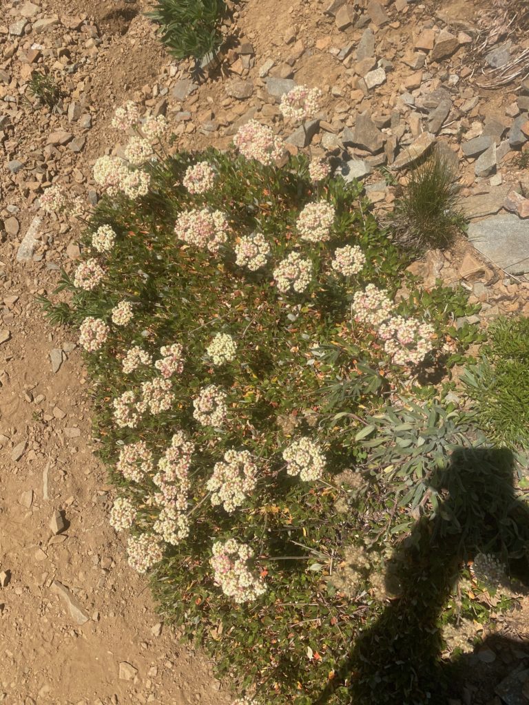
PCT Mile 2638 to 2623. Arctic Lupine gather rain drops. Look like diamonds in middle to leaf clusterPCT Mile 2638 to 2623. A few rocks. A little snow
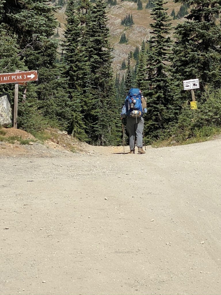
When I was 1.5 miles from Harts Pass and sure I would make it, I let Lenora and Martha know but also indicated I could stay the night. When I got to Harts Pass I did purchase a tent site but did not set up. Really not sure why because I knew at that time that Lenora and Martha were on their way to pick me up. It is a 3 hour drive up that wonderful winding dirt road. Actually the dirt road is the last 10 miles but takes an hour. I was just going to leave my tent space but as fate would have it, just at Lenora and Martha arrived, so did 2 young very dirty PCT through hikers. They asked me if I knew where they could get water and I told them about the stream about half mile away. Turns out I still had about 3 liters of water left and I gave them that for the night. I also told them they could have my tent space. They seemed happy. My tent space had a picnic table which for a PCT’er is basically just a nicer place to sit down :). So, God is good all the time.
I’ve done some of the south and some of the north of Washington. Next two weeks will be more the middle. From interstate 90 south to where I stopped at Trout Creek earlier in the month.
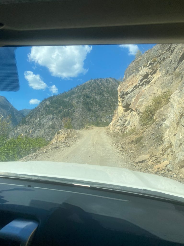
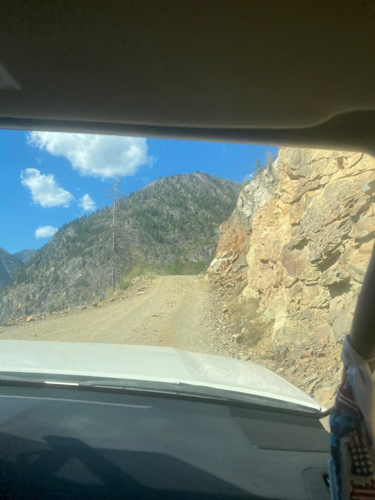
Time to get back on the trail and hopefully to the Canadian Border. The road up to Harts Pass is a 10 mile winding road that is very rough at times. For a half mile on the road it is only wide enough for one car with rocks on one side, shear drop-off on the other. The car coming down has to yield the right away. During the half mile there are probably 3 points where a car can pull over to the far right (coming down) and the car going up can get past. Stress filled 10 miles and particularly the narrow half mile.
PCT road to Harts Pass. 10 miles long. For a half mile only wide enough for 1 car. Fun driving.
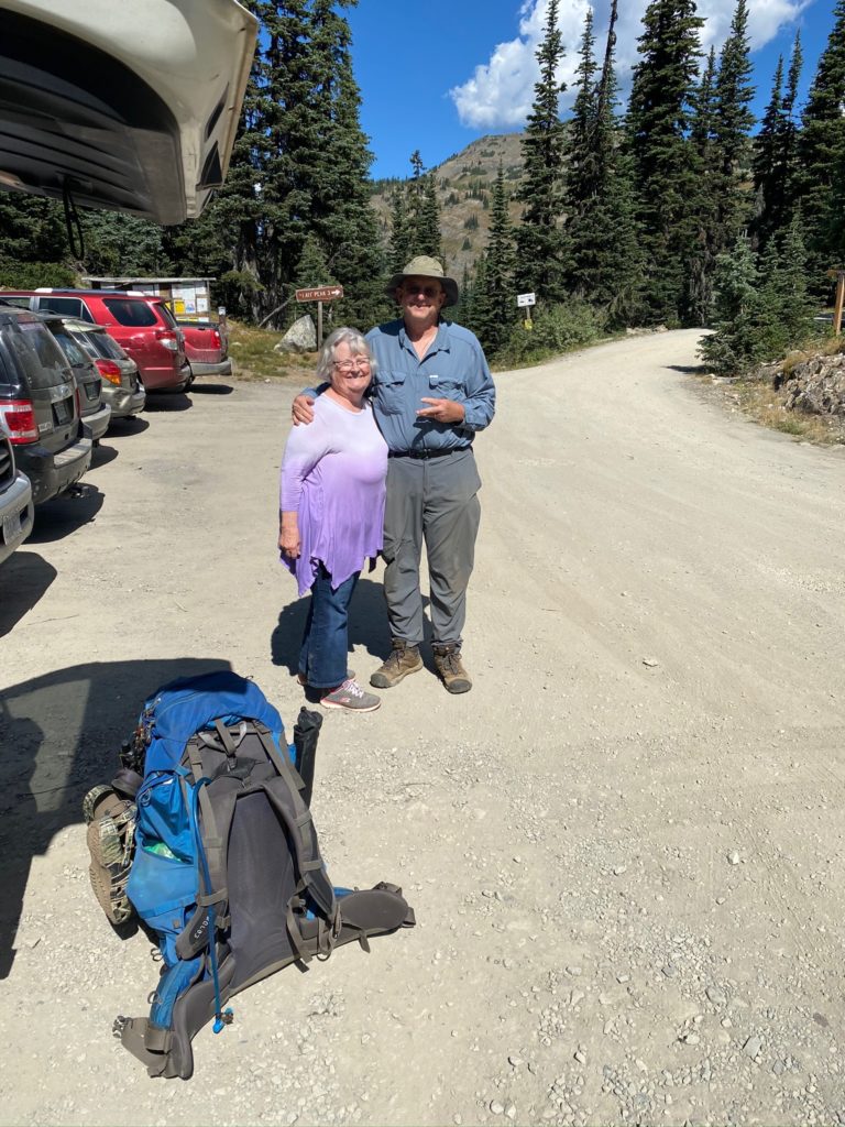
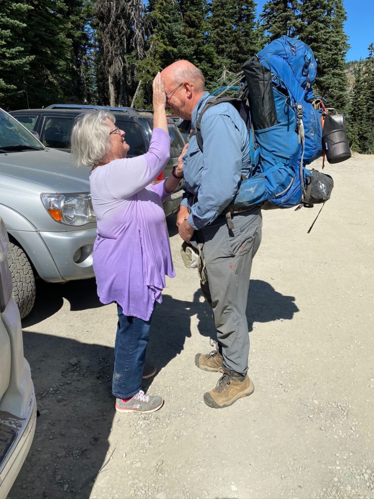
We reach Harts Pass around 11:30 and I get ready to go. Each time before I go on the trail, Lenora gives me a blessing. It is a very special time always makes me emotional but gives me confidence that I will be safe and make good decisions.
PCT 2623 to 2630. The send off
About .4 miles from Harts Pass there is both a beautiful little campsite and the stream that has a good flow. I don’t need either but it is a good way to start the hike. It is a beautiful day for hiking. Temperature is about 84 with a nice breeze. About a mile into the trail I get to a point where there is an option to continue to follow the PCT or to use the fire detour that was created for the 2018 file (one of the fires that took me off the trail that year). I have comments on Guthook (trail application I use) that indicate there is no need in 2020 to use the detour and in fact the detour trail has not been maintained. So I continue on the normal PCT Trail.
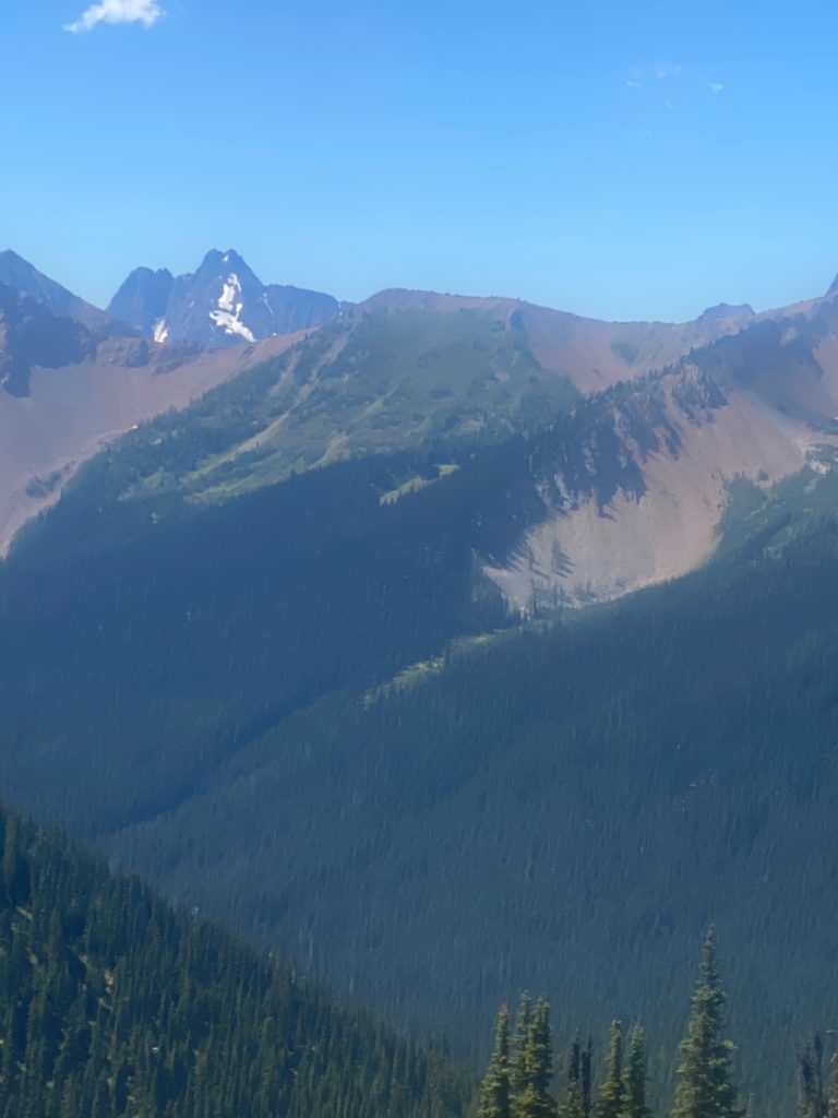
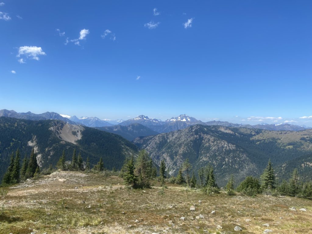
PCT 2623 to 2630. Looking across the valley to mountains
PCT 2623 to 2630. Majestic view
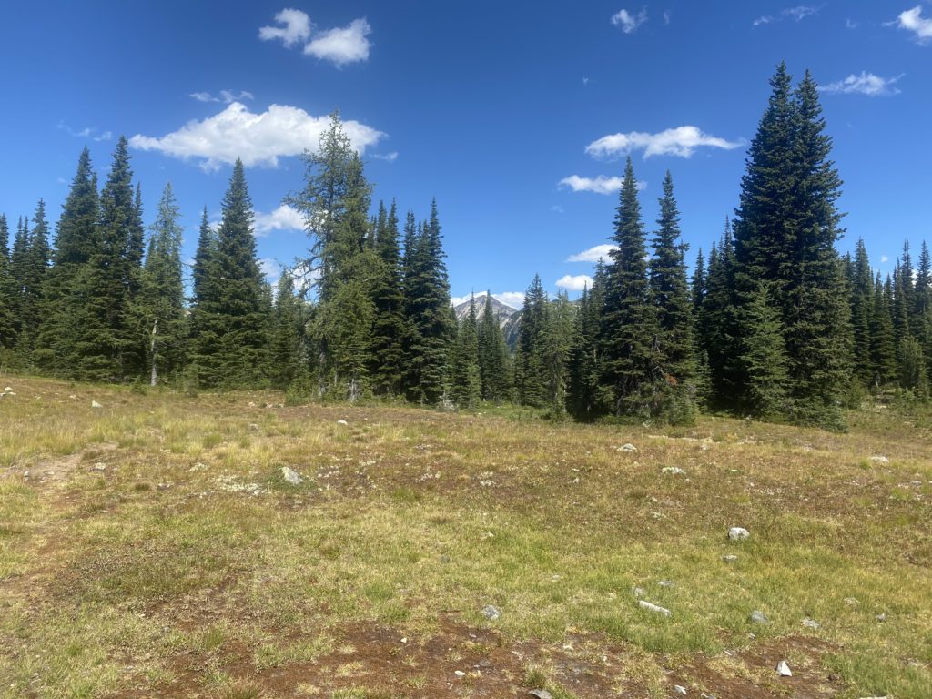
Scenery on the way to Buffalo Pass
Harts Pass is a very popular spot and there are lots of local people out for a hike and some of them are setting up camping sites. Probably busy even without the fact that COVID has a lot of people not working and therefore recreating. The trail thus far has been nice.
PCT 2623 to 2630. Nice trail here. Level and solid dirt under foot
At about 1:10 I get to Windy Pass. Not particularly windy at the moment but there was a good breeze along the way.
PCT 2623 to 2630. Windy Pass
Too early to stop and I’m eyeing a camping site about 3 miles ahead. I cross a couple creeks before I get there and usually stop to take a drink with the Lifestraw. The Lifestraw is terrific as it allows me to just take a drink of water directly from the stream. That way I can save my bulk filtered water for camping needs.
PCT 2623 to 2630. Looking back from a creek when I stopped to rest
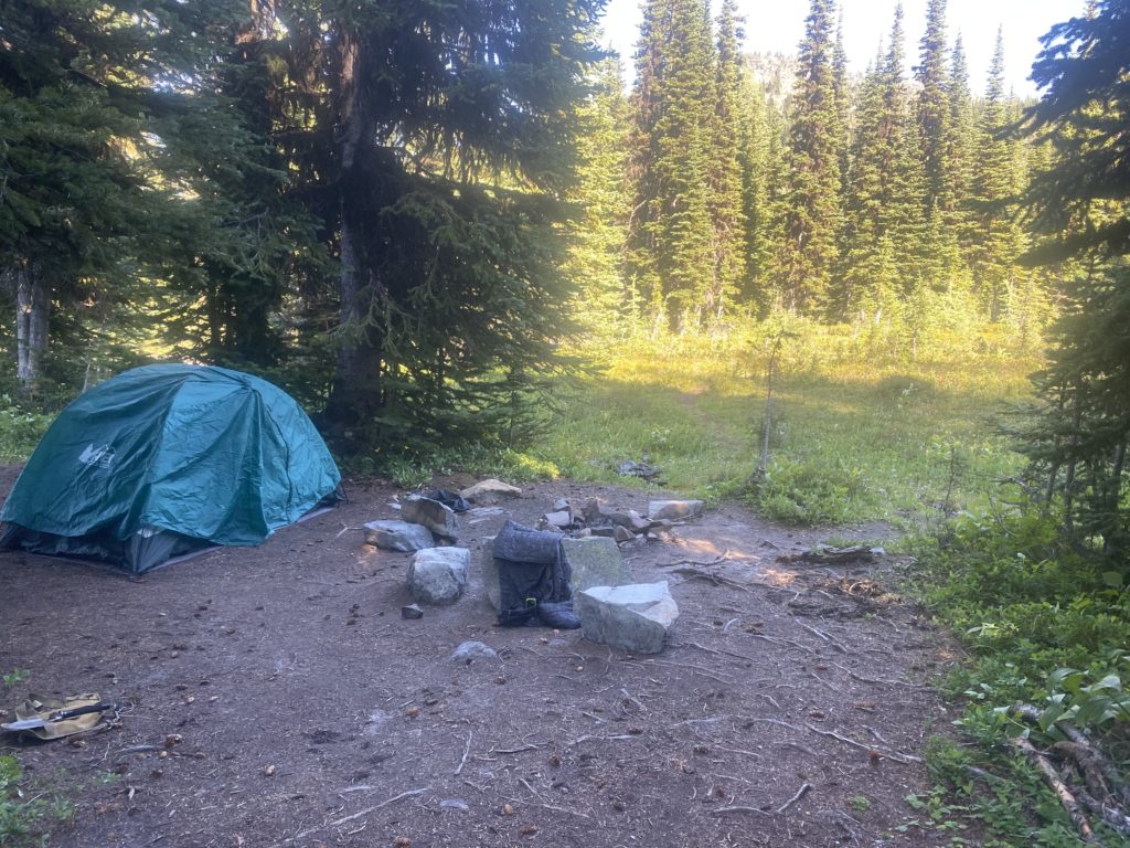
I stop around 5 pm and have done about 7 miles. Pretty easy day. The camp site is a little off the trail and I went past it just a bit before I realized I had past it up. Only had to backtrack less than a tenth of a mile to get to it. Nice level campsite with a stream running right past it.
If you look at the video of my campsite from yesterday you can see that my tent was protected from wind. Perhaps that is why the evening did not seem as cold and I only slept in my normal sleeping clothes rather than 2 layers. However in the morning when I got up I could tell it was actually colder. I got up earlier than I have been because I have a lot of climbing to do and I wanted to do it during the cool part of the day. As it turns out most of the day was pretty cool. I got started about 5:30 in the morning and I have about a 2700 foot ascent to make over about 5 miles. I go up to Glacier Pass and continue up to Grasshopper Pass. I have normal hiking clothes on with the Patagonia jacket and the waterproof gloves. I’m comfortable. By the time I get halfway (which is Glacier Pass) I figure I will rest and perhaps have a snack. However 5 minutes after taking off the gloves, my fingers and particularly my thumbs are hurting from the cold. I cut things short and get the gloves back on and start hiking again to get the blood pumping. After about 30 minutes my hands stop hurting and everything is back to normal. I reach the top about 10:30. So 5 miles in 6 hours. Don’t think I’m getting much faster BUT I did stop a bit just to admire the view rather than to catch my breath (although there was plenty of that as well).
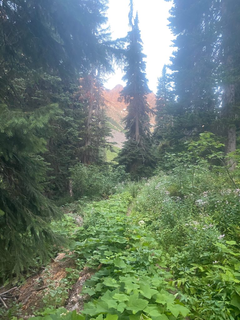
The trail just past Brush Creek was pretty overgrown and sometimes with very tall plants. If it had rained one would be drenched from head to foot just from rubbing against all the plants overgrown on the trail. Pretty though huh?
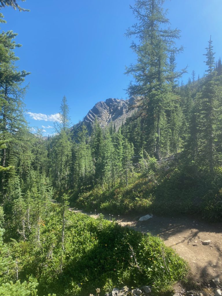
PCT 2610 to 2623 There is a trail under all that
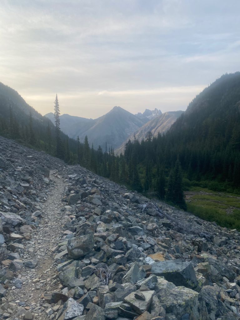
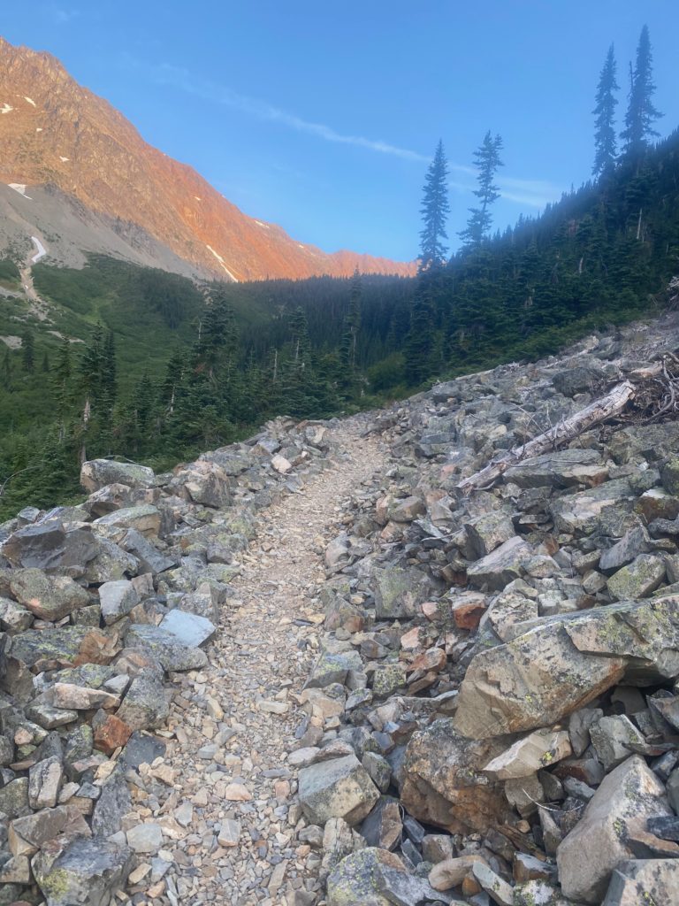
Have to cross a couple rock fields on the way up. Still this is a nice level path with small rather settled rocks to step on.
PCT 2610 to 2623 Walking among the rocksPCT 2610 to 2623 Nice forest trail
The video below was taken about 9am. I am past Glacier Pass and perhaps a little better than halfway up to Grasshopper Pass. I just wanted to capture the view.
PCT 2610 to 2623 Just a look around
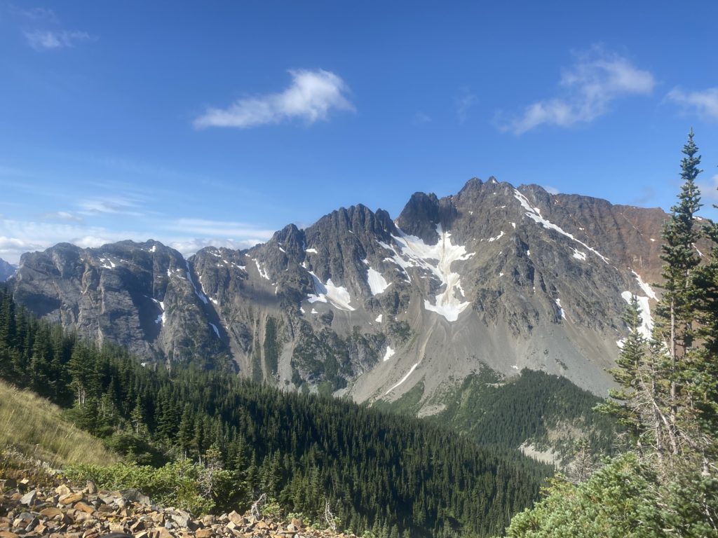
Pretty close to the top at this point and was sitting on the trail to capture some breath and rest my back and just staring at the mountain across the valley. This part of the mountain has been in the sun all morning and I’m just starting to get some sun on my part. I figured there would be some melting going on over there but it is not obvious there is any water coming off that snow. You can see where the melt has probably run before but I can’t see anything with the naked eye that is happening now.
PCT 2610 to 2623 Majestic
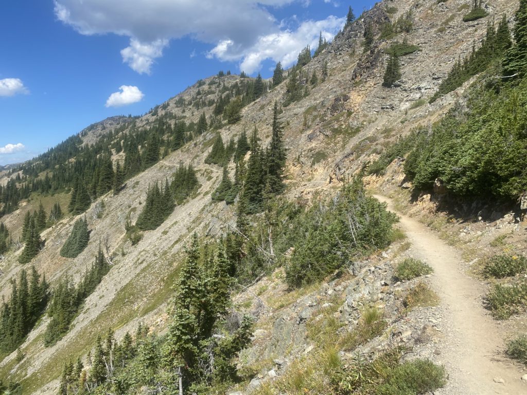
This picture below is taken after I reach the top and you see how the trail runs along the side of the mountain up here. When I get over there the trail is as narrow as it gets and slants from left to right and is loose sand and pebbles. I did not have fun walking across that section and many more like it.
PCT 2610 to 2623 A look at the trail ahead.
A little bit past Grasshopper Pass I met an “old guy” (77 haha). I did not get his name so he is just the old guy. He likes to hike the PCT but only the Washington PCT. Said he was not interested in doing Oregon or California. We talked about the aches and pains of hiking at this age. He said this was probably his last hike because it upsets his wife when he goes out. They use to hike together but she got arthritis and had to give it up. So now when he goes out, she cries. Very sad actually. He suggested my eating problems might because of elevation but I don’t think so. I don’t remember having any elevation problems through the Sierra’s at almost twice the elevation. We had a nice talk from about 20 feet away and he wore a mask. I keep mentioning the masks because I just do not understand!!
I mainly took the photo below because if you look real close and perhaps expand the picture you can see a crescent moon just to the right of the highest peak.
PCT 2610 to 2623 Just a look at the mountains on the other side
The trail from Grasshopper Pass to Harts Pass is relatively easy. Go up to slightly above 7000 feet at one point but then descend to Harts Pass. I was going to get resupplied at this point but rather I am going off the trail again. About 30 minutes before getting to Harts Pass I had back spasms and had to stop and take of the pack and try to stretch it out. I also neglected to cut my toes nails before starting this hike and my little toe is attacking its neighbor and has gashed it up pretty good. It’s always something 🙂
There have not been any large animals spotted while on the trail. Yesterday just before Brush Creek there was bear scat and a bear track (single) on the trail. So, they are about. Off the trail we have seen many deer, 1 bear, and mountain goats.
I’ll be back to do the 30 miles to the border and the 30 miles back to Harts Pass. The way I am hiking that will take 6 to 8 days. After that it will be back to Rainy Pass and head south.