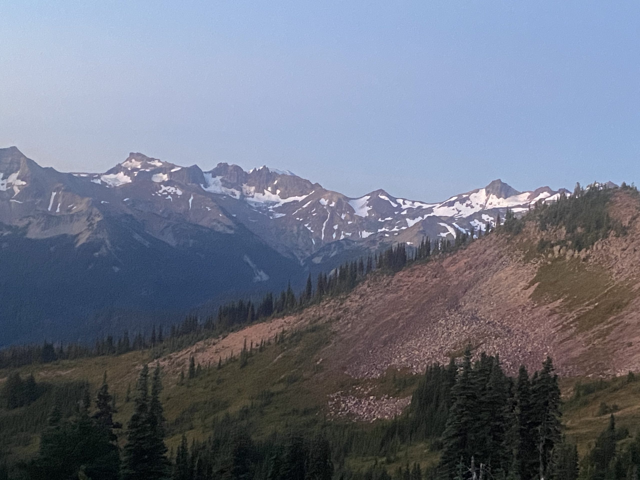
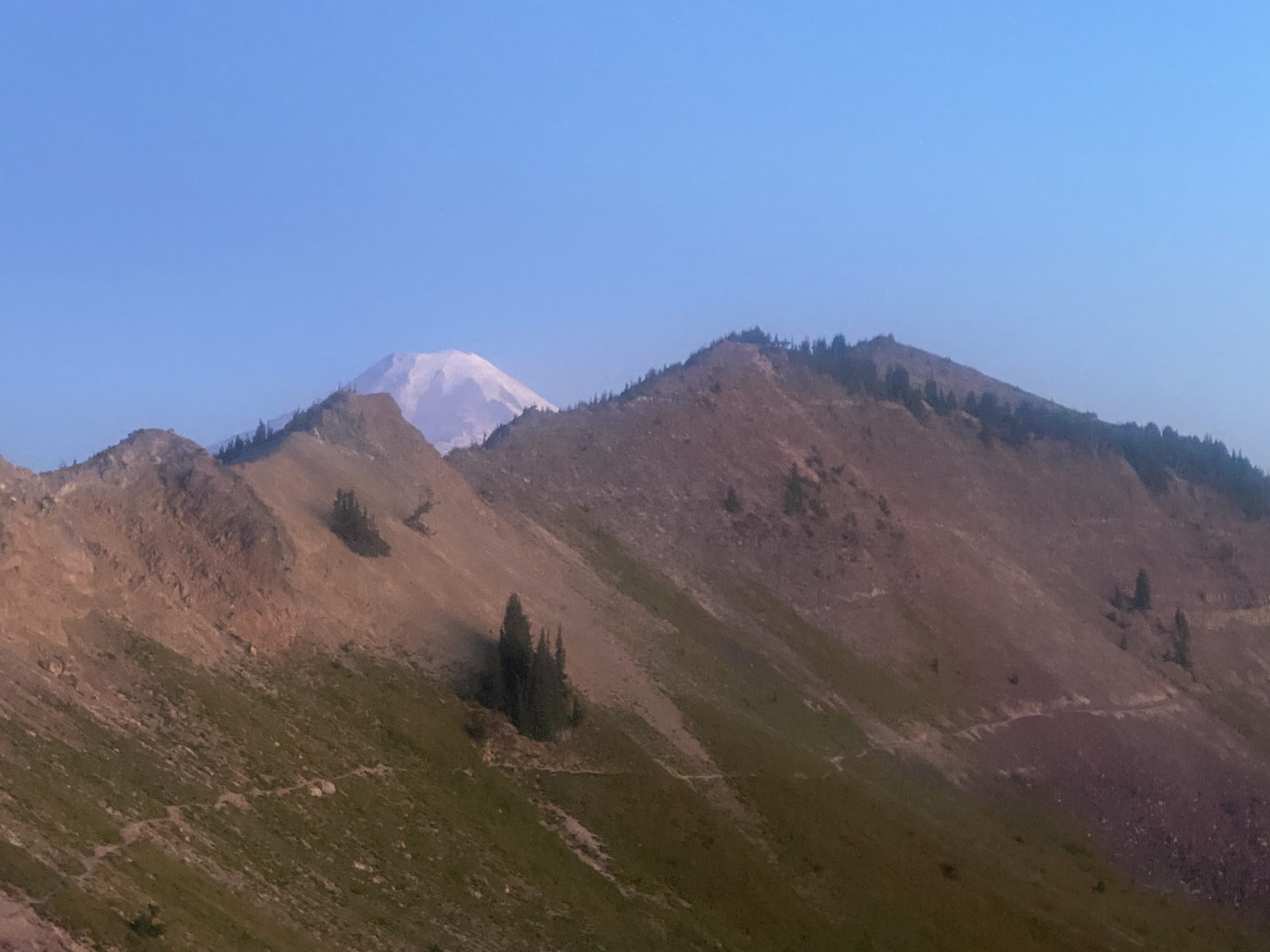
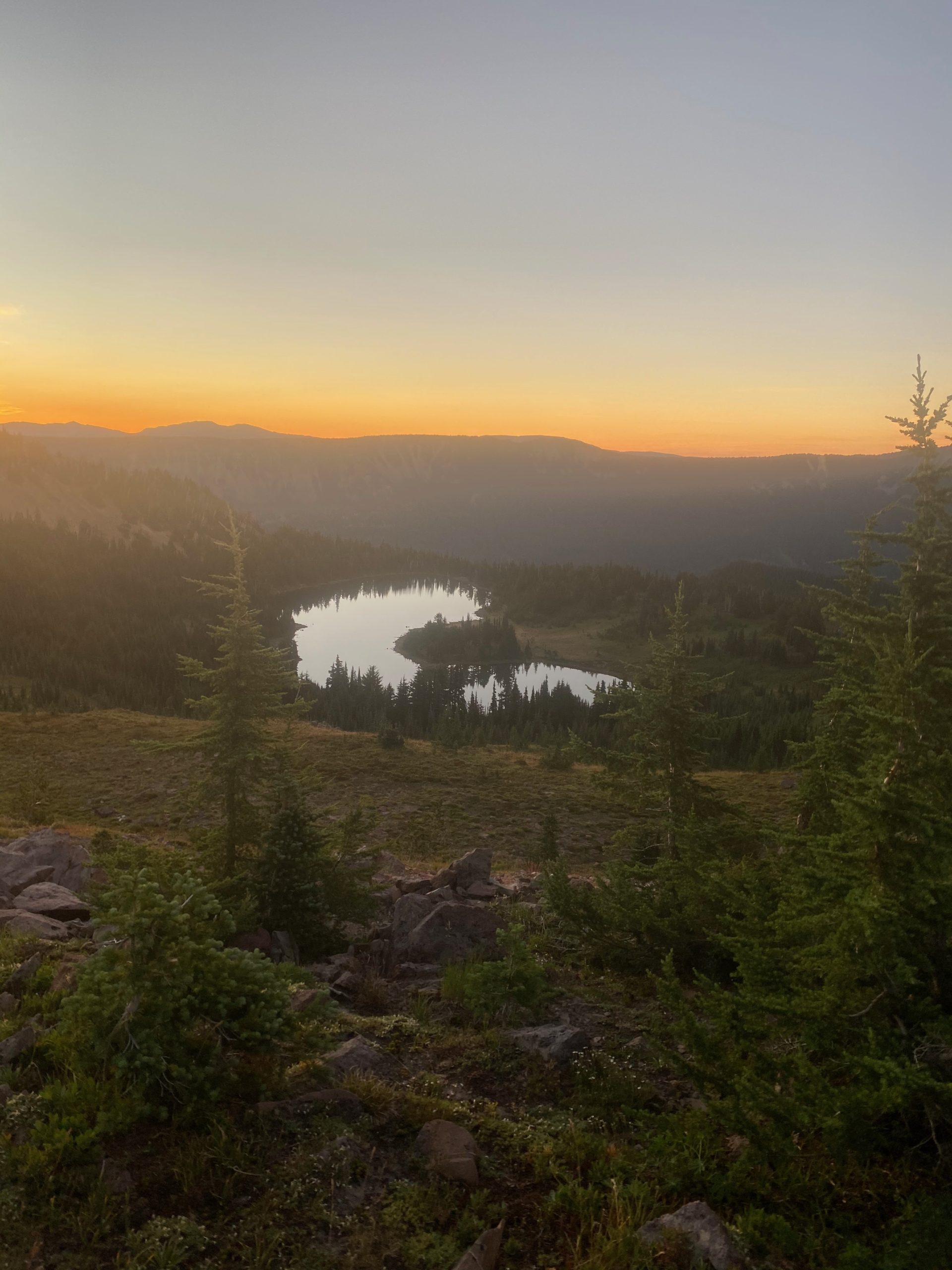
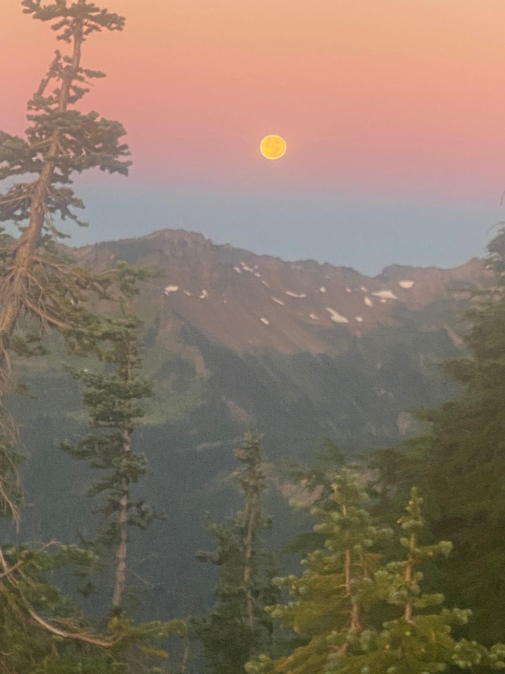
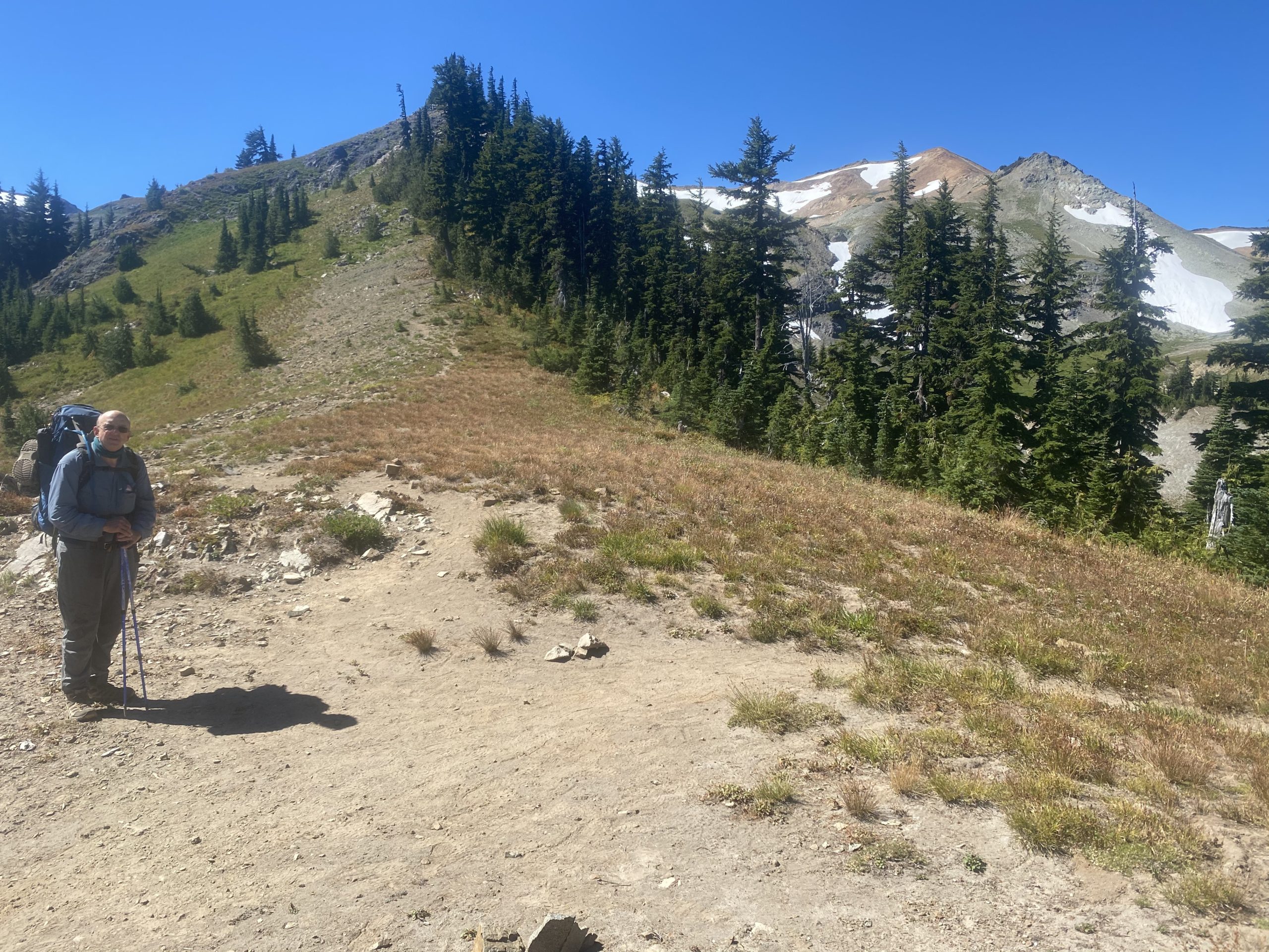
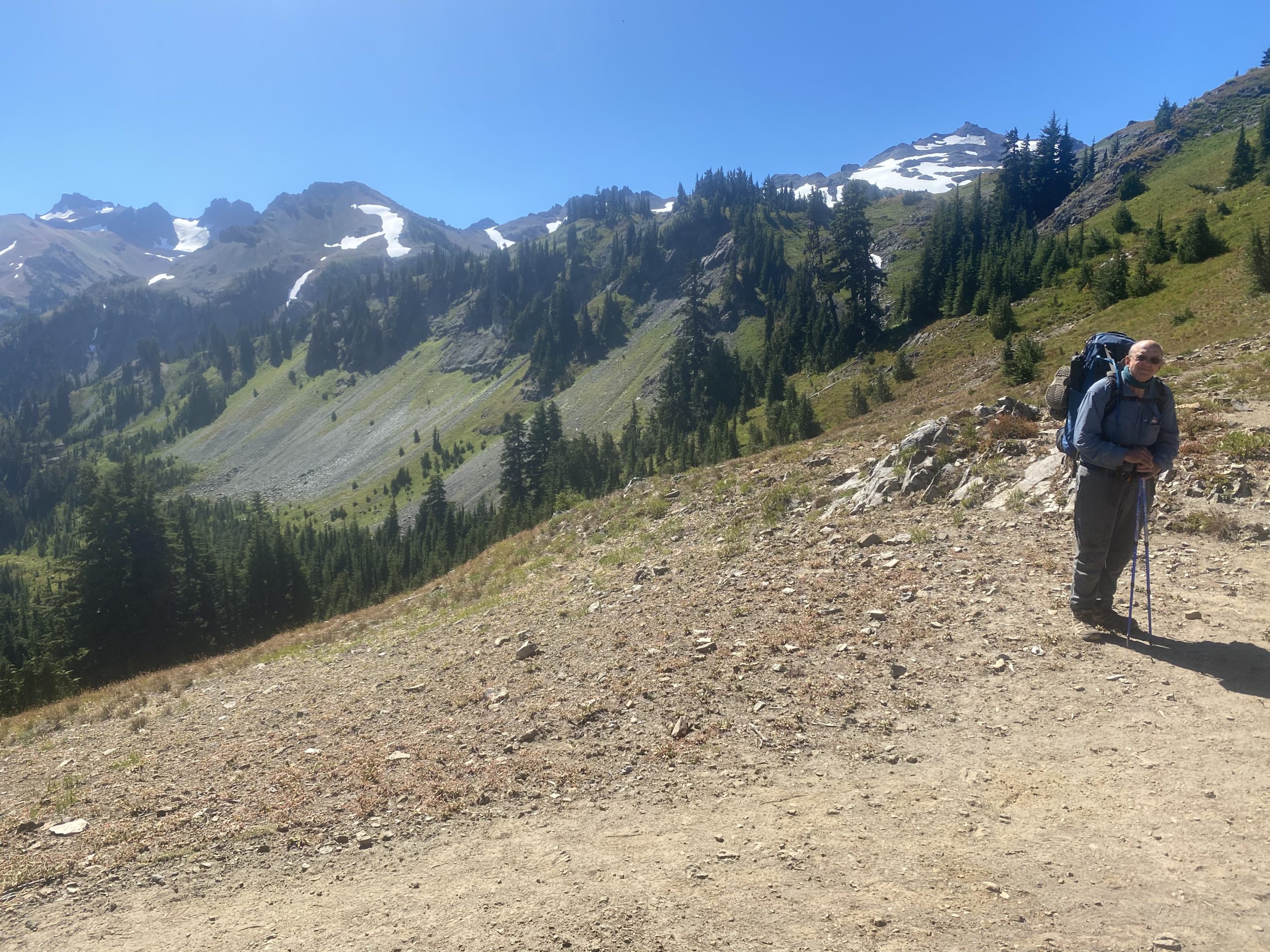
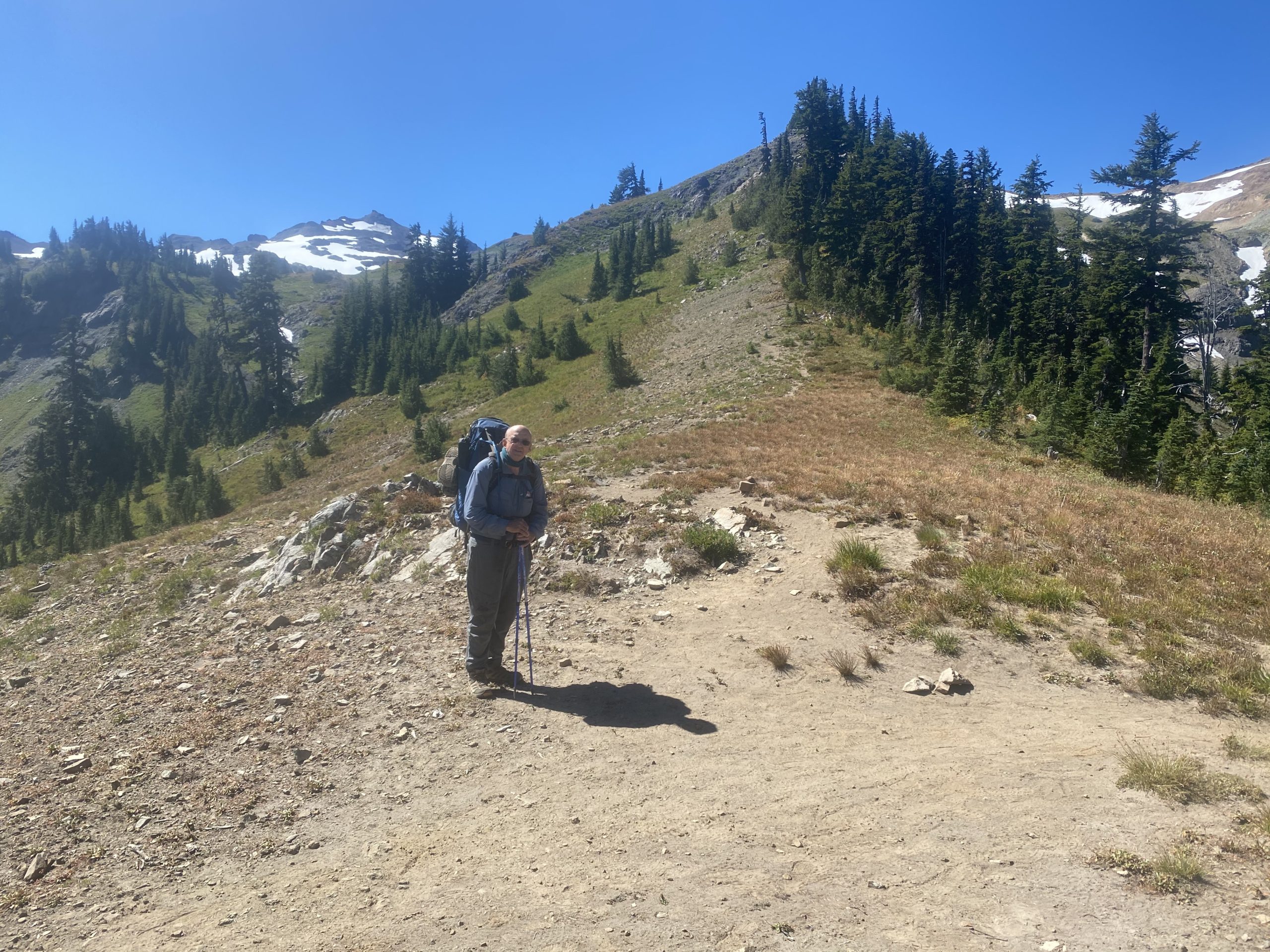
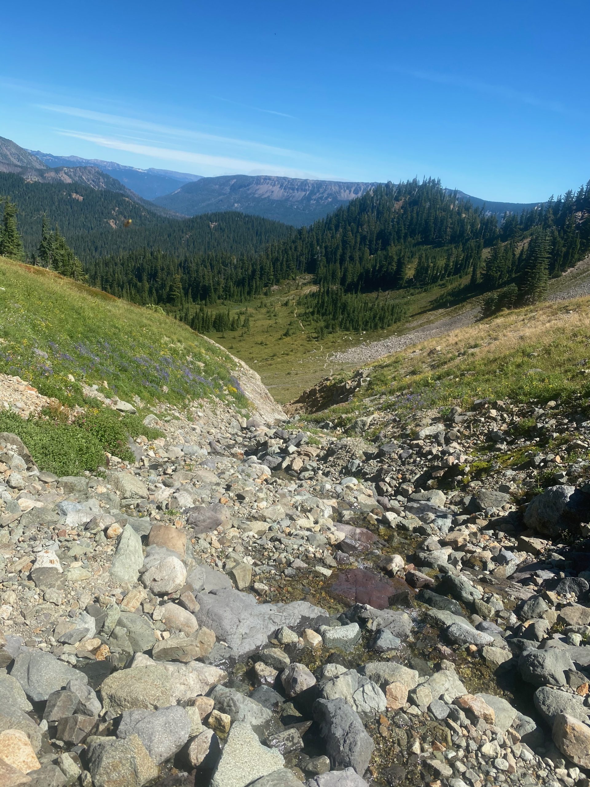
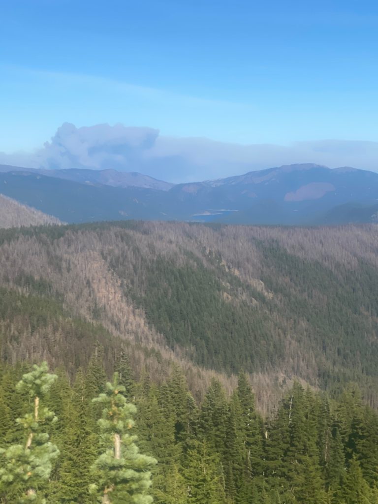
Good night and up at regular time to tackle the Knifes Edge. Nervous. As usual I have a hard time getting going. Everything is so fresh and pretty in the morning. Here are some pictures and videos from the start of the day.
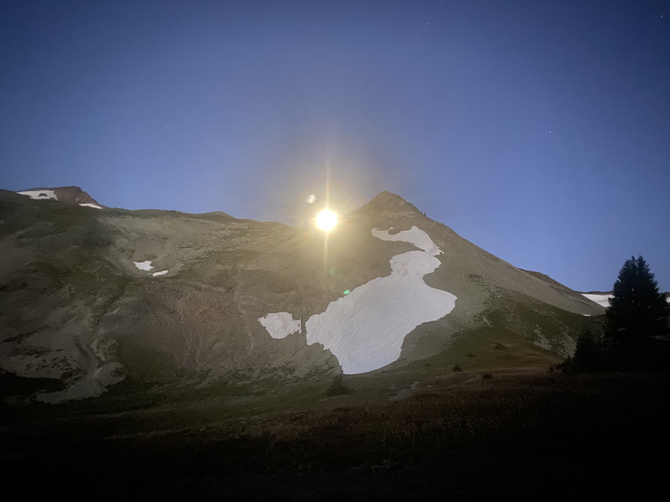
PCT 2280 to 2270. Moon in the morning 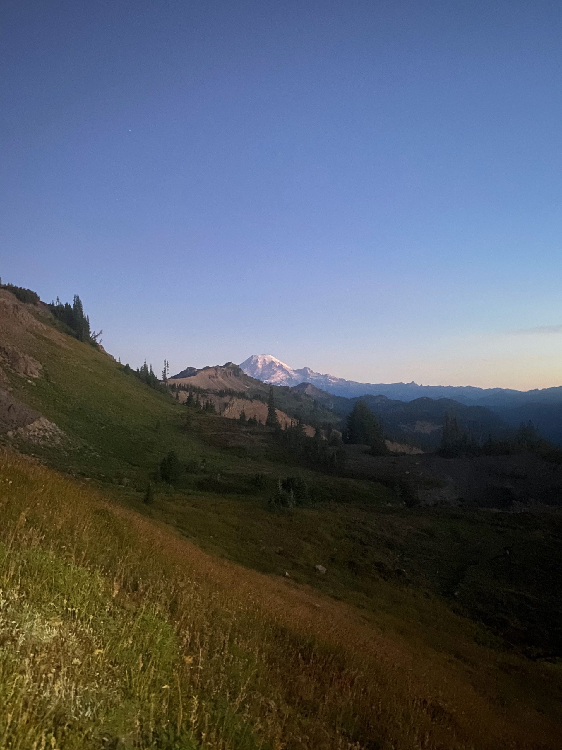
PCT 2280 to 2270. Still Mount Rainier 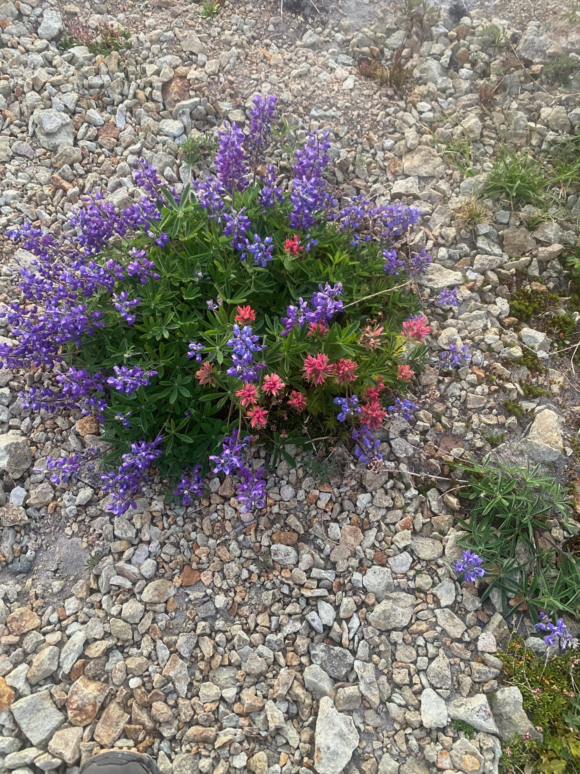
PCT 2280 to 2270. Nootka lupine hanging out with some Indian Paintbrush 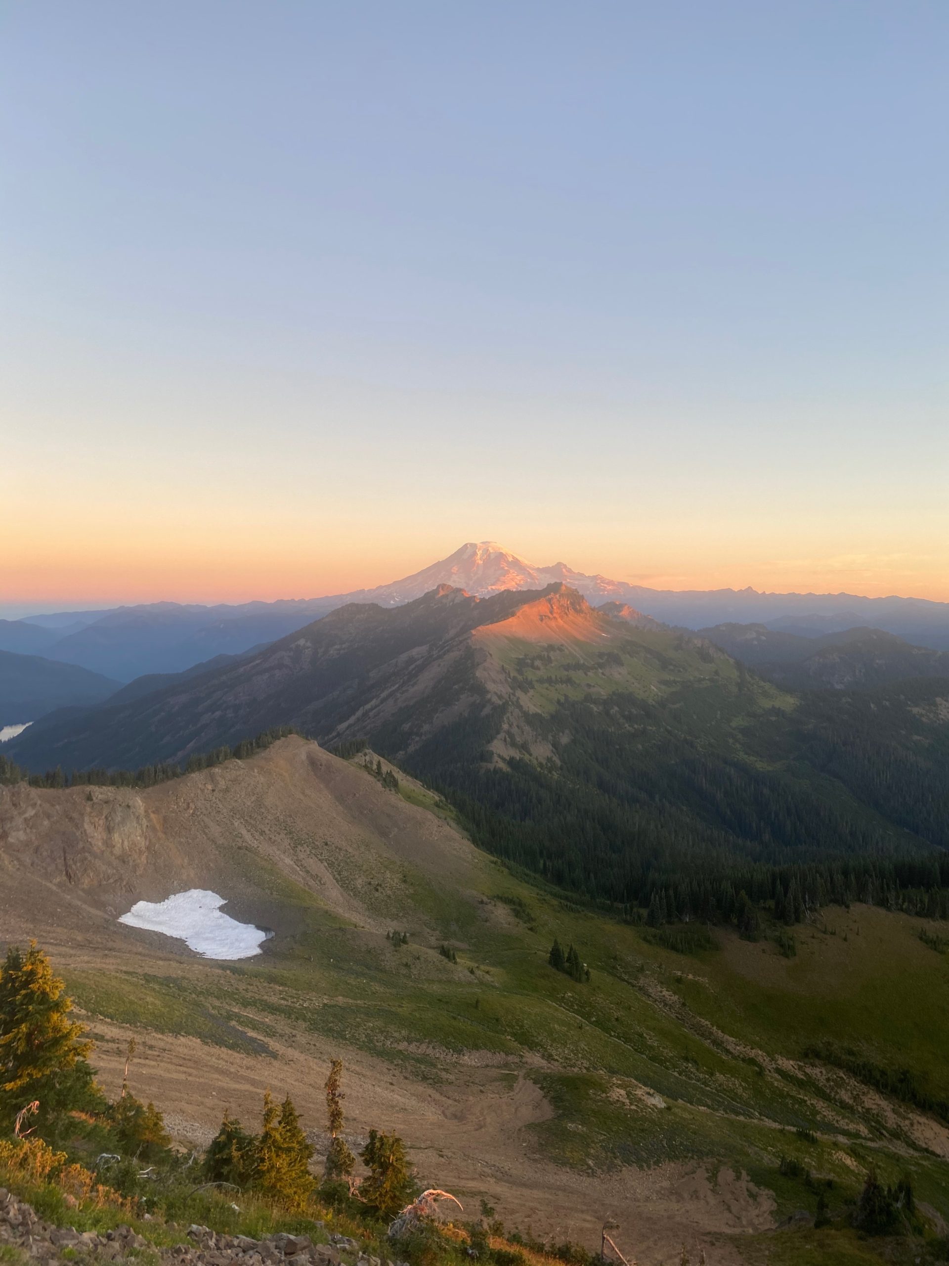
PCT 2280 to 2270. Still Mount Rainier 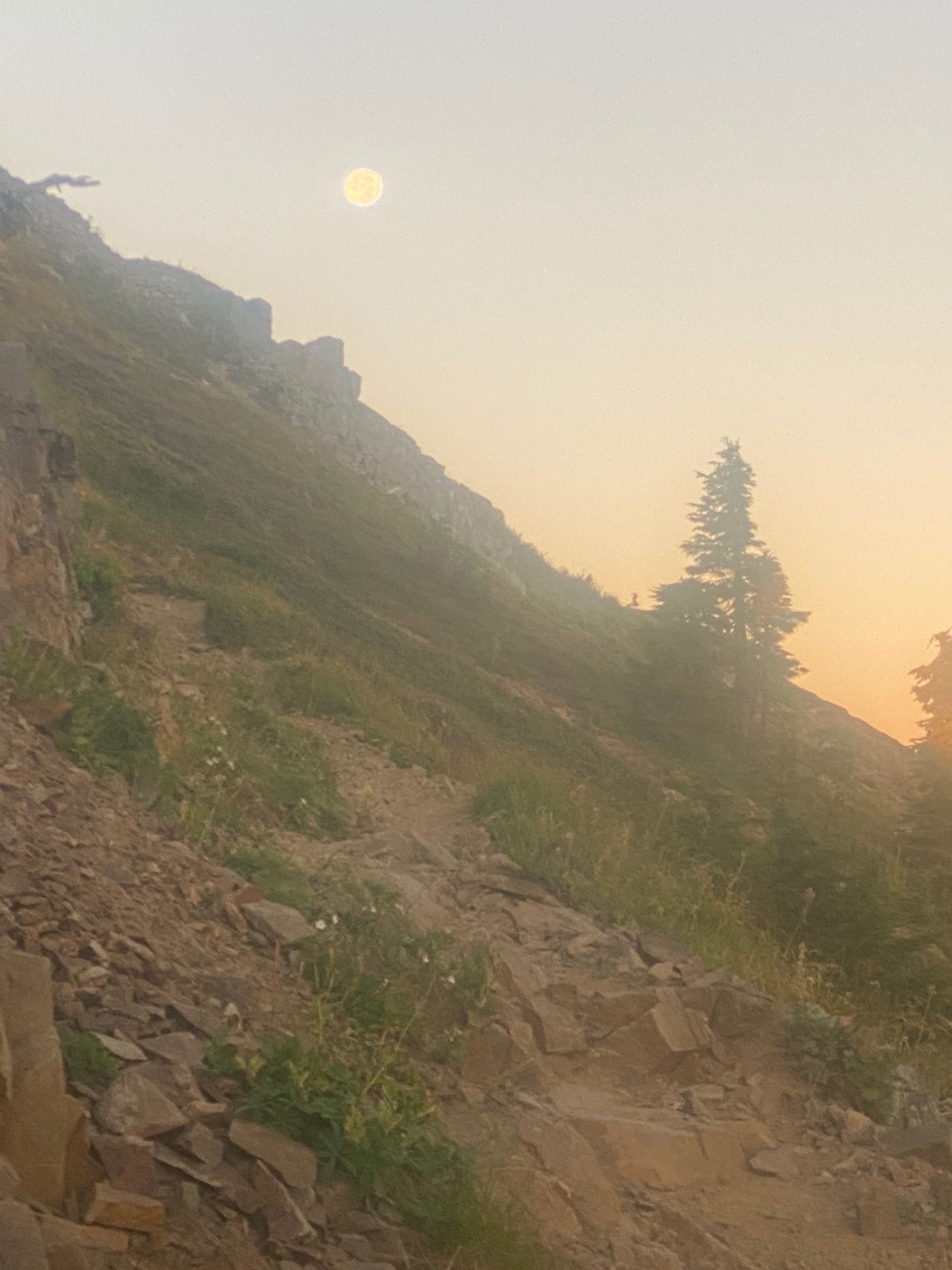
PCT 2280 to 2270. Another moon shot. Gives a little sense of the trail
After about an hour I get to what would probably be considered the start of the ascent to the Knifes Edge. There have been two really intensive ascents up to this point but I would say that it is at this point that things get real. Below are some images. Notice one sign is a livestock warning.
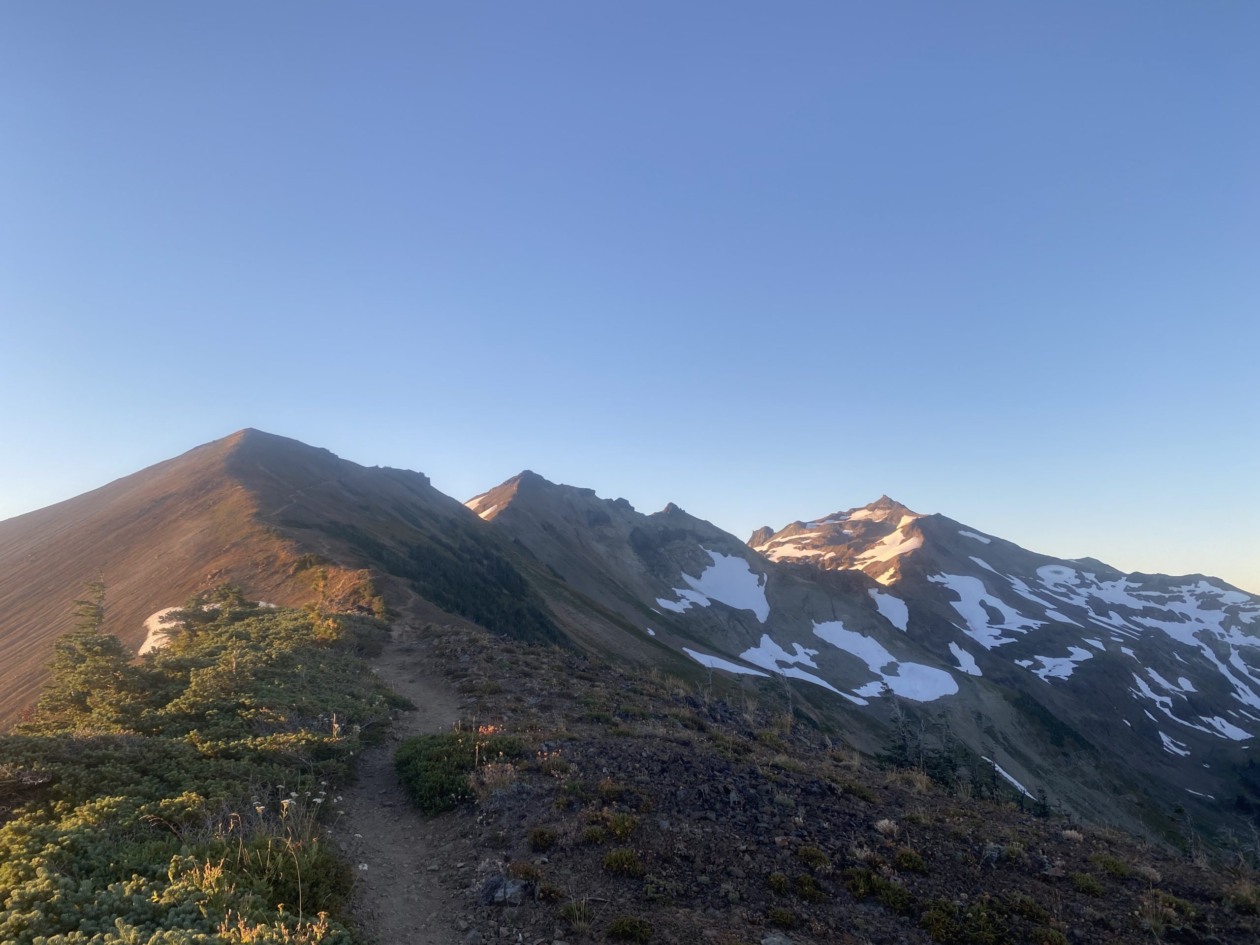
PCT 2280 to 2270. Heading up 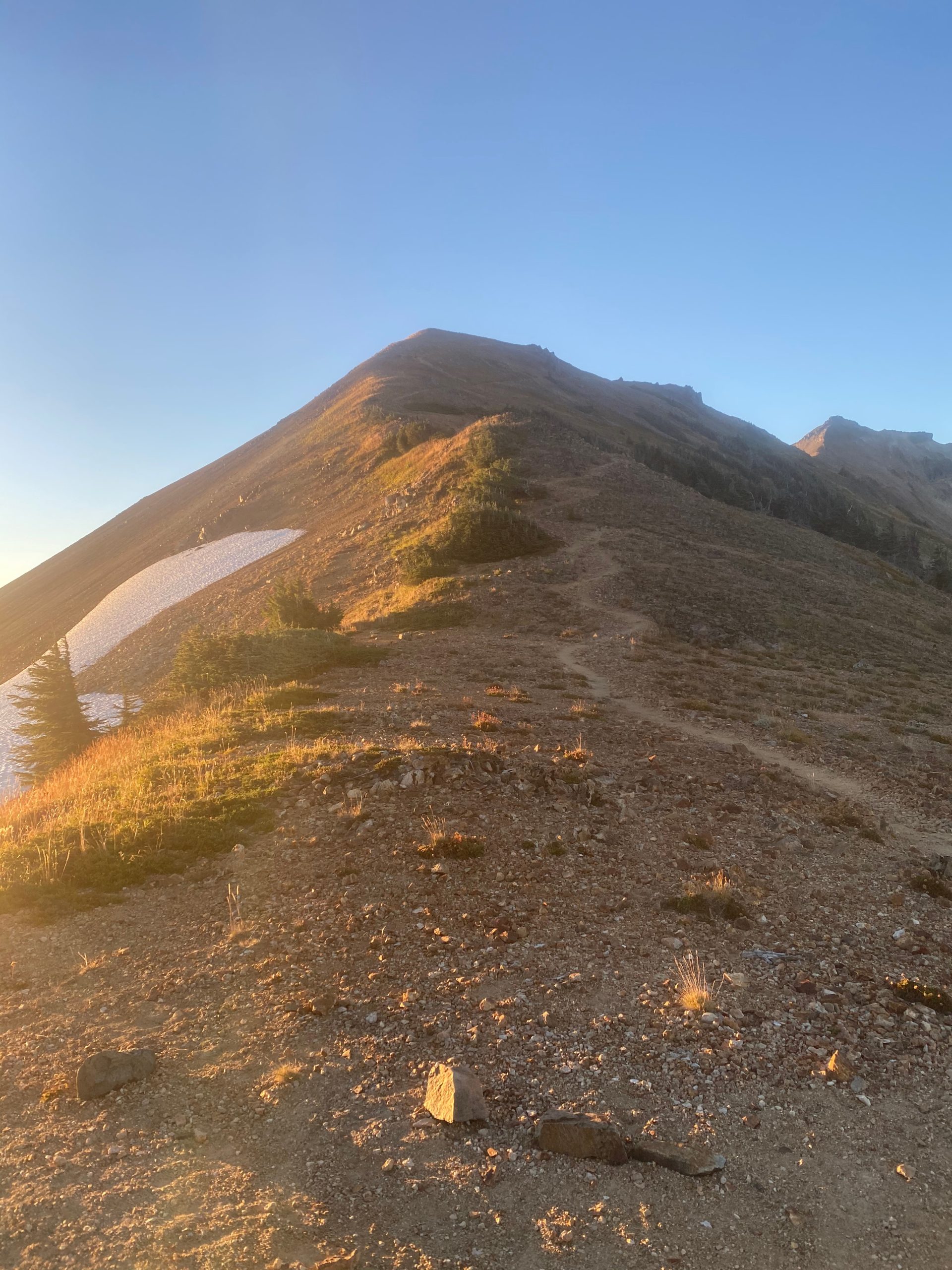
PCT 2280 to 2270. Heading up 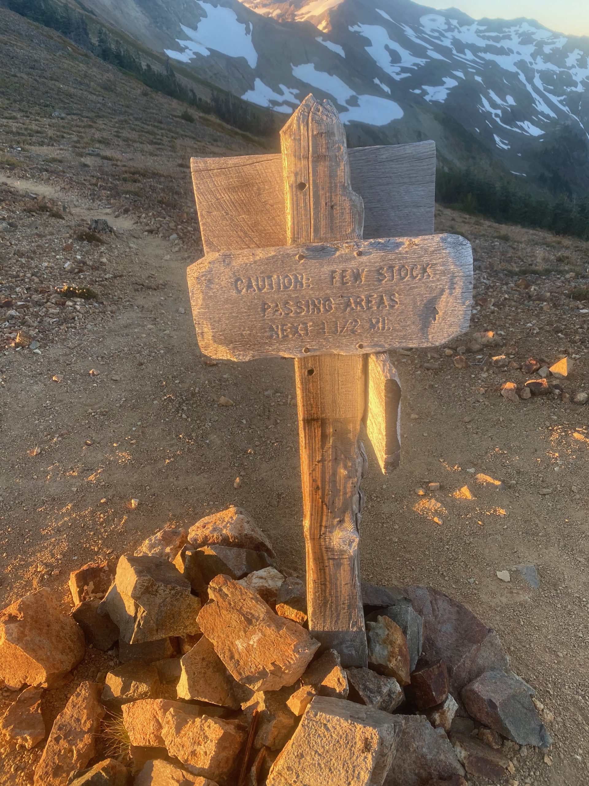
PCT 2280 to 2270. Hum… it should say “no place for old men” 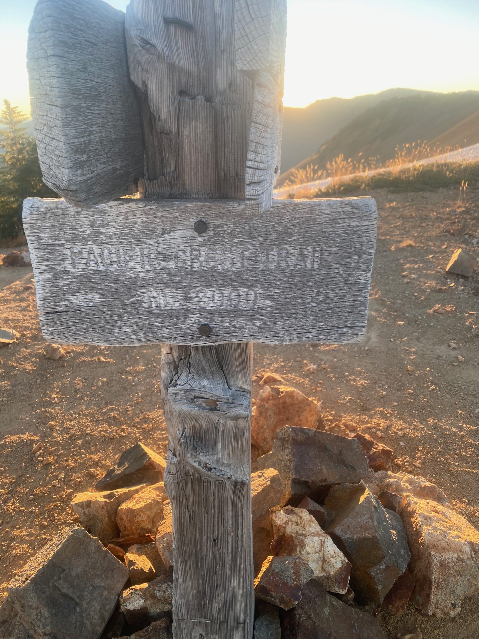
PCT 2280 to 2270. Still on course 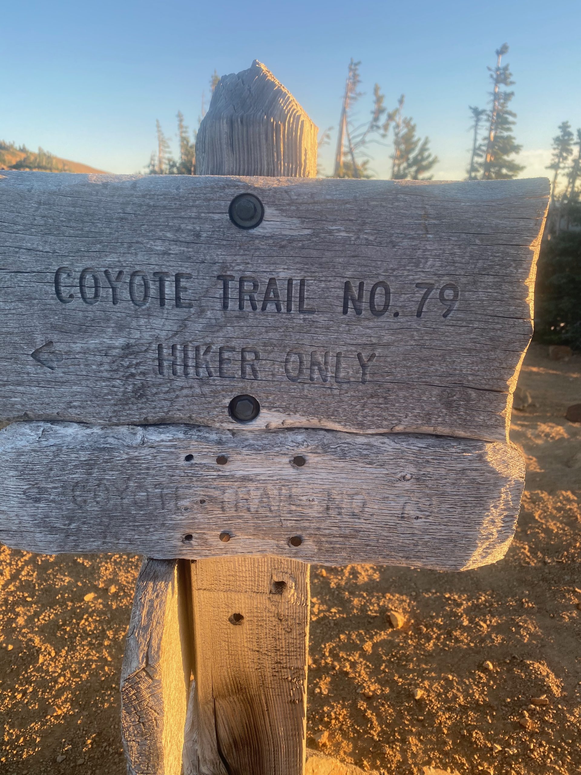
PCT 2280 to 2270. Wondering where it goes. I think part of fire bypass from 2018
Ok… so going up this slope was not bad. I would not want to come down it. Steep downhill with loose rocks is not a good combination. I believe this is part of the what the two guys were talking about. I don’t think I could go down this slope without making sure each foot was planted and secure before taking another step. Would have taken a long time. Going up however was not bad. At the top of this section is a little wide spot where people (and lifestock I guess) can pass each other. I take this video and some images just a little later.
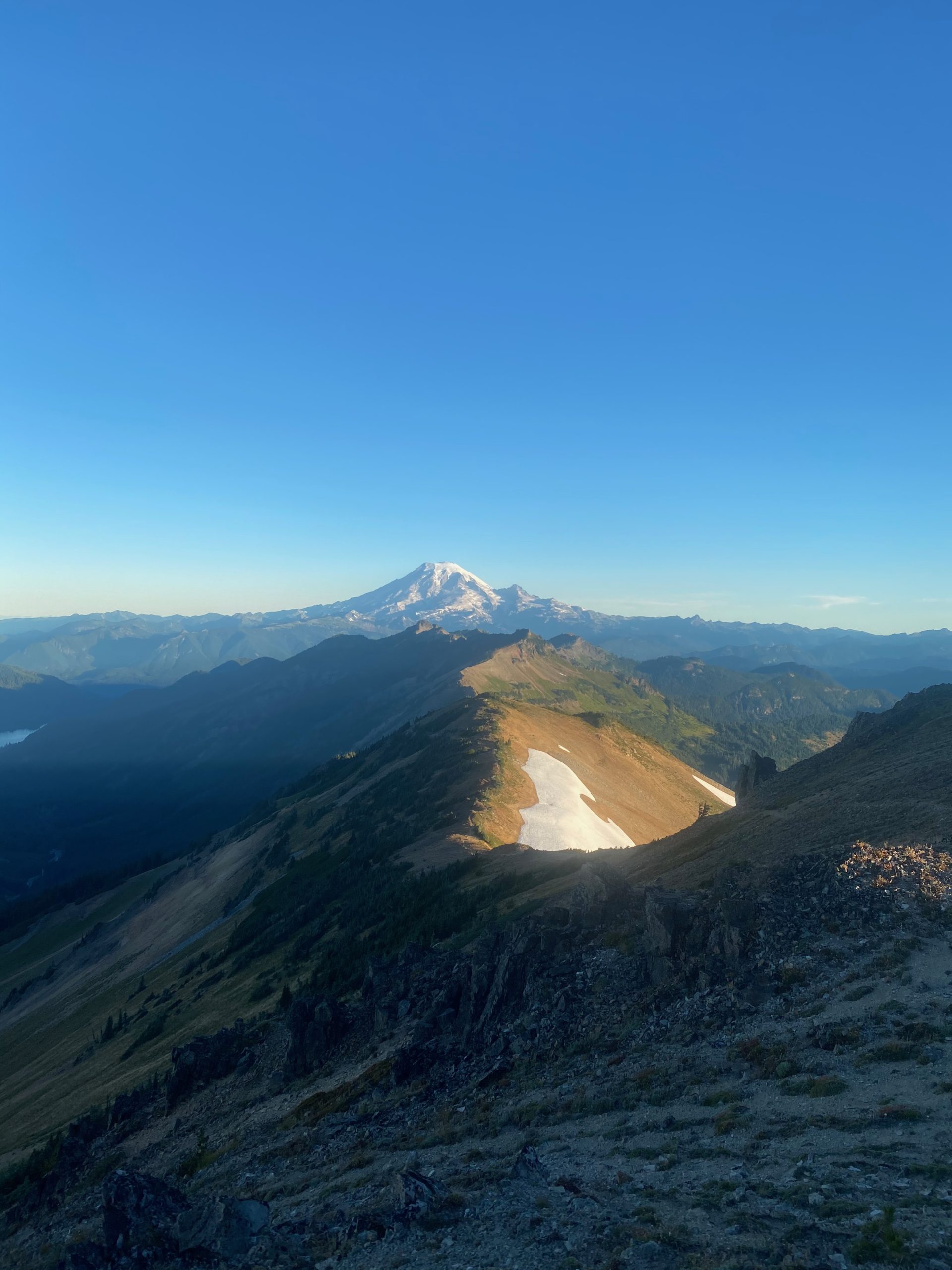
PCT 2280 to 2270. View from Knifes Edge 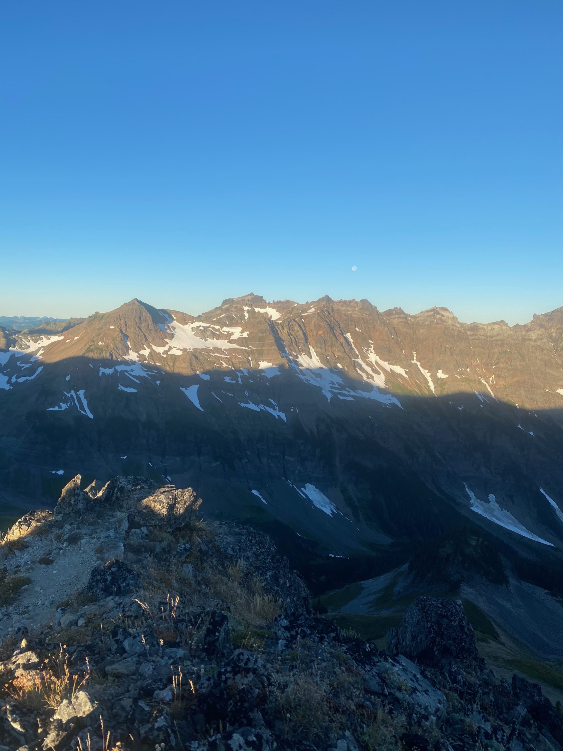
PCT 2280 to 2270. View from Knifes Edge 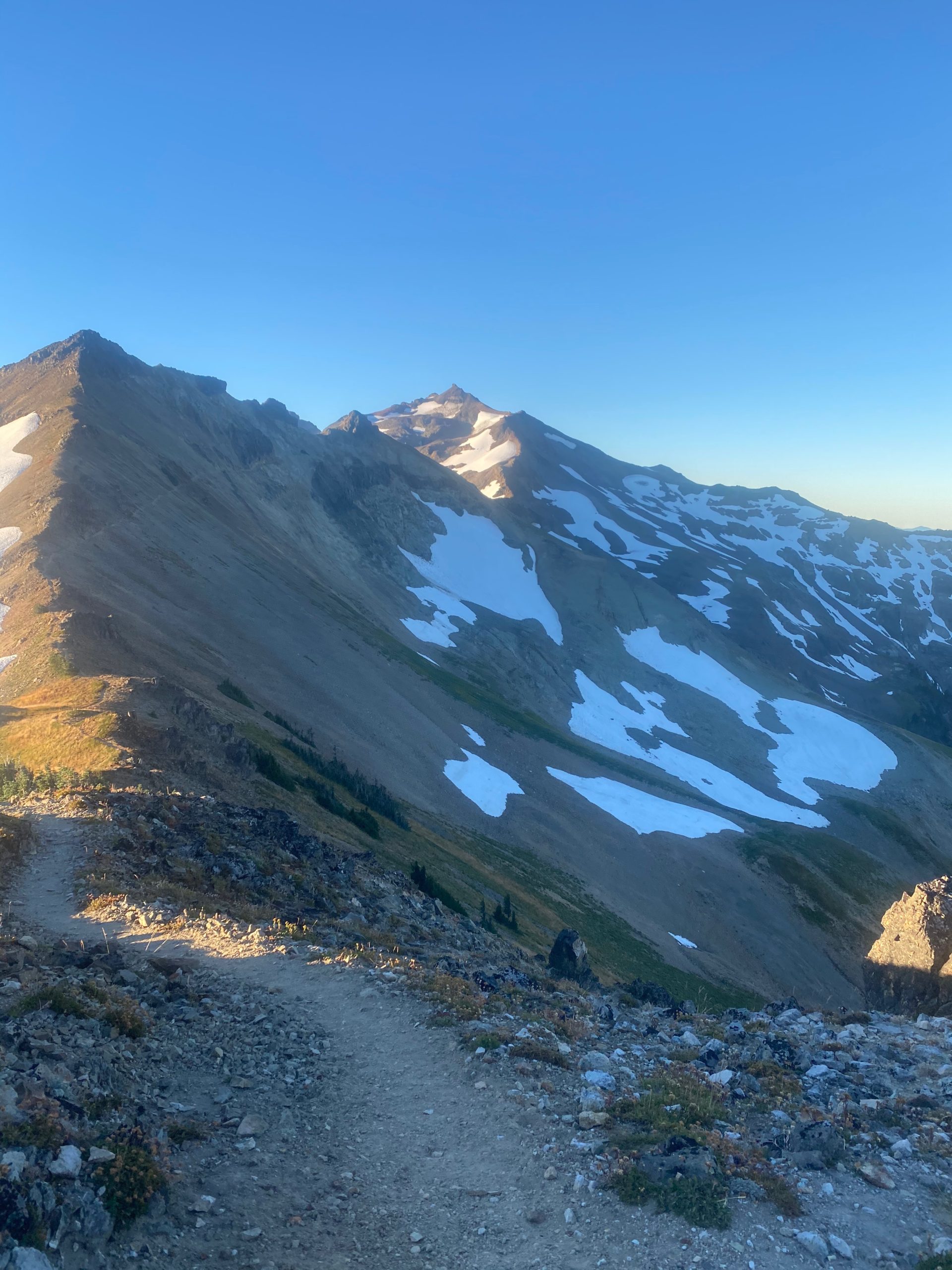
PCT 2280 to 2270. View from Knifes Edge 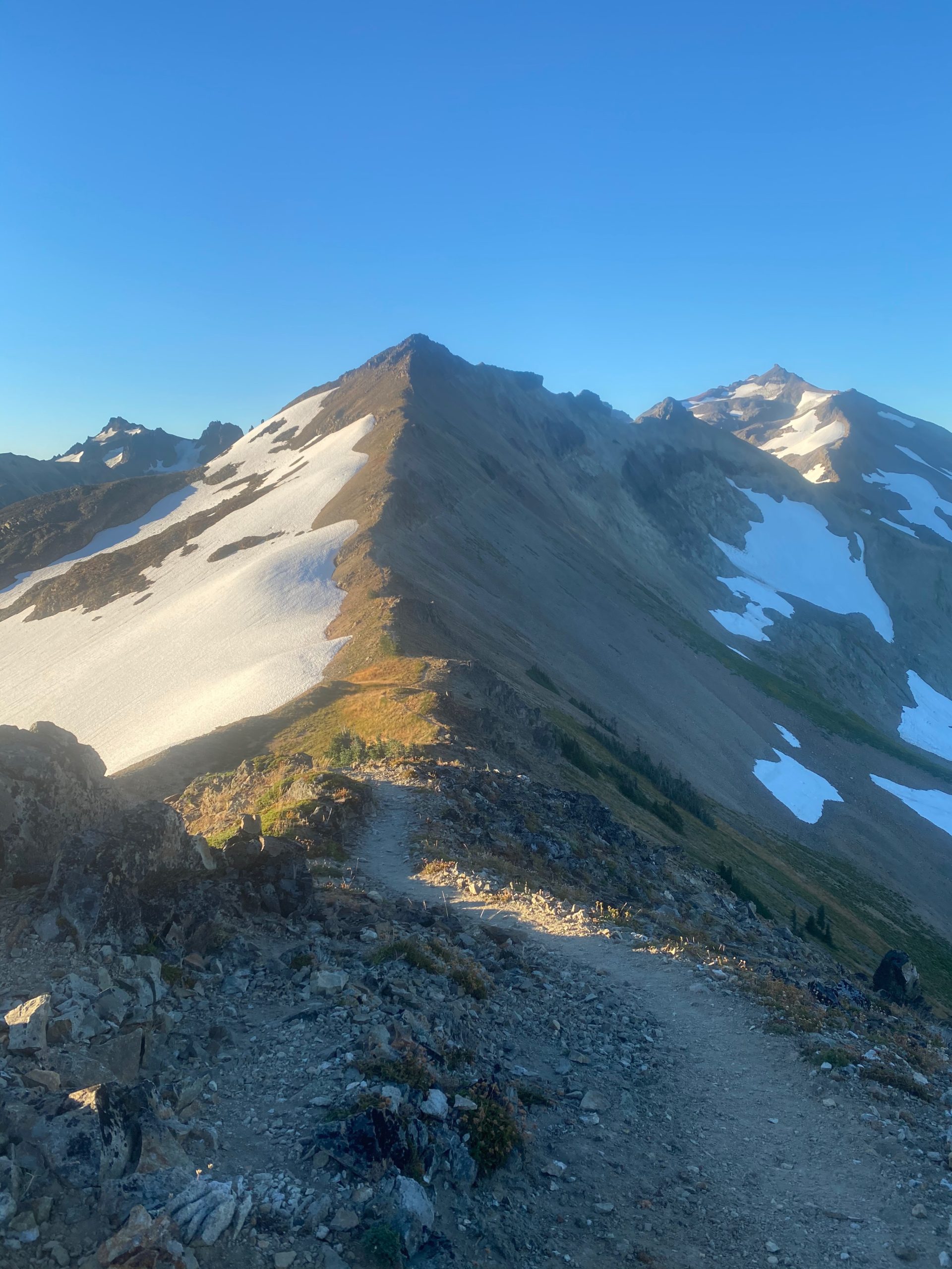
PCT 2280 to 2270. View from Knifes Edge
A little later I have some MORE views of Mount Rainier and a view of Mount St. Helens. Between these points where I am taking the pictures I am usually going up a steep slippery slope or going down a steep slippery slope. It is pretty stressful for me. I am tight and I can feel strain on my shoulder and hip. At one point 4 hikers are coming the other direction and just by chance it was at a switchback point and I could wait for all 4 of them to pass by. They are not all together but only takes about 10 minutes before the last hiker indicates there is nobody behind her and I am free to go.
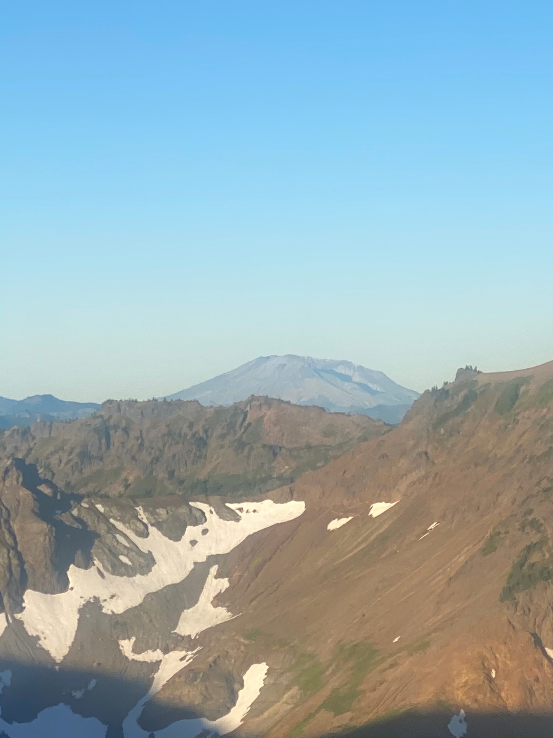
PCT 2280 to 2270. View from Knifes Edge. Mount St. Helens 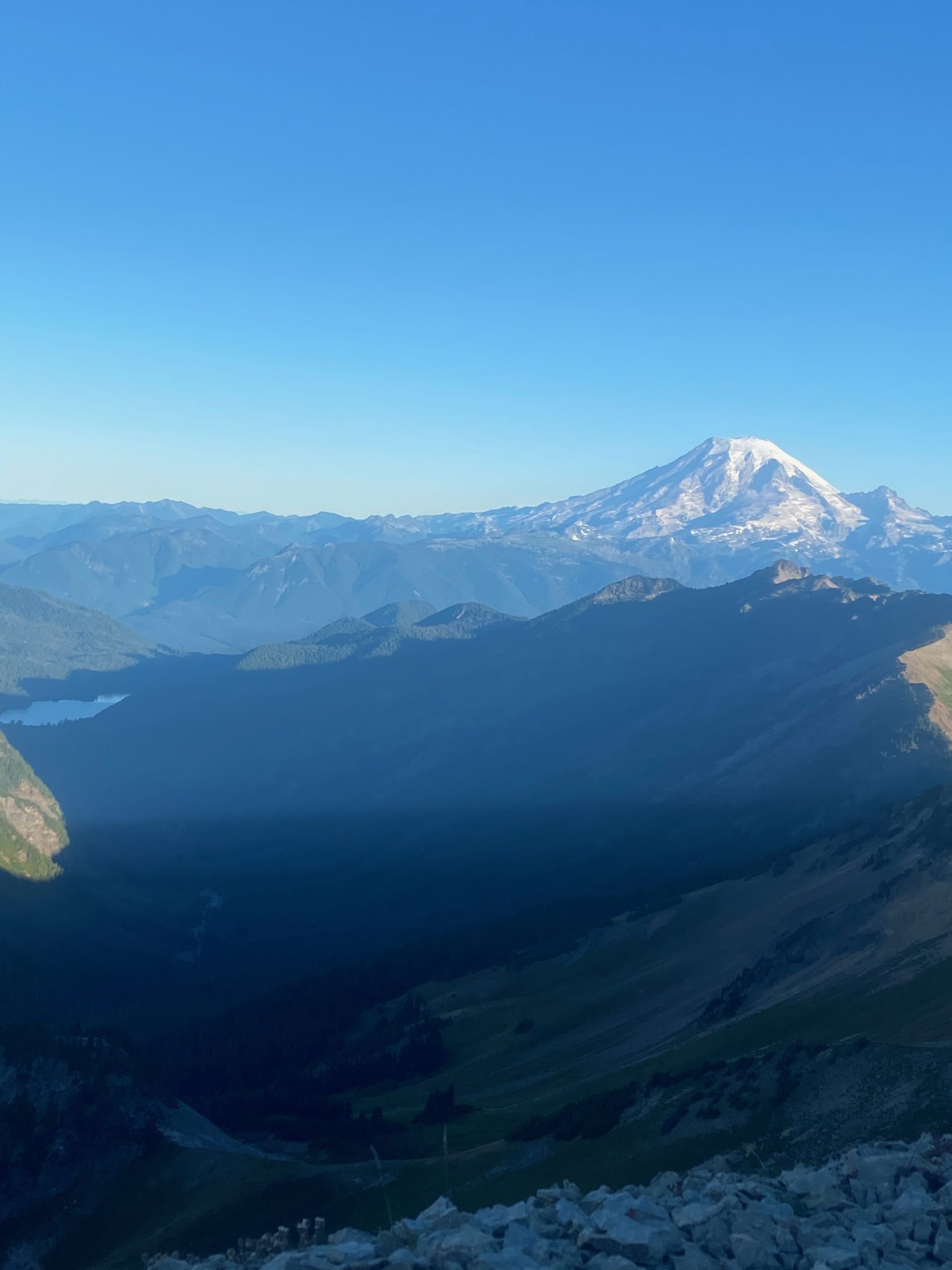
PCT 2280 to 2270. View from Knifes Edge. Mount Rainier and Packwood Lake
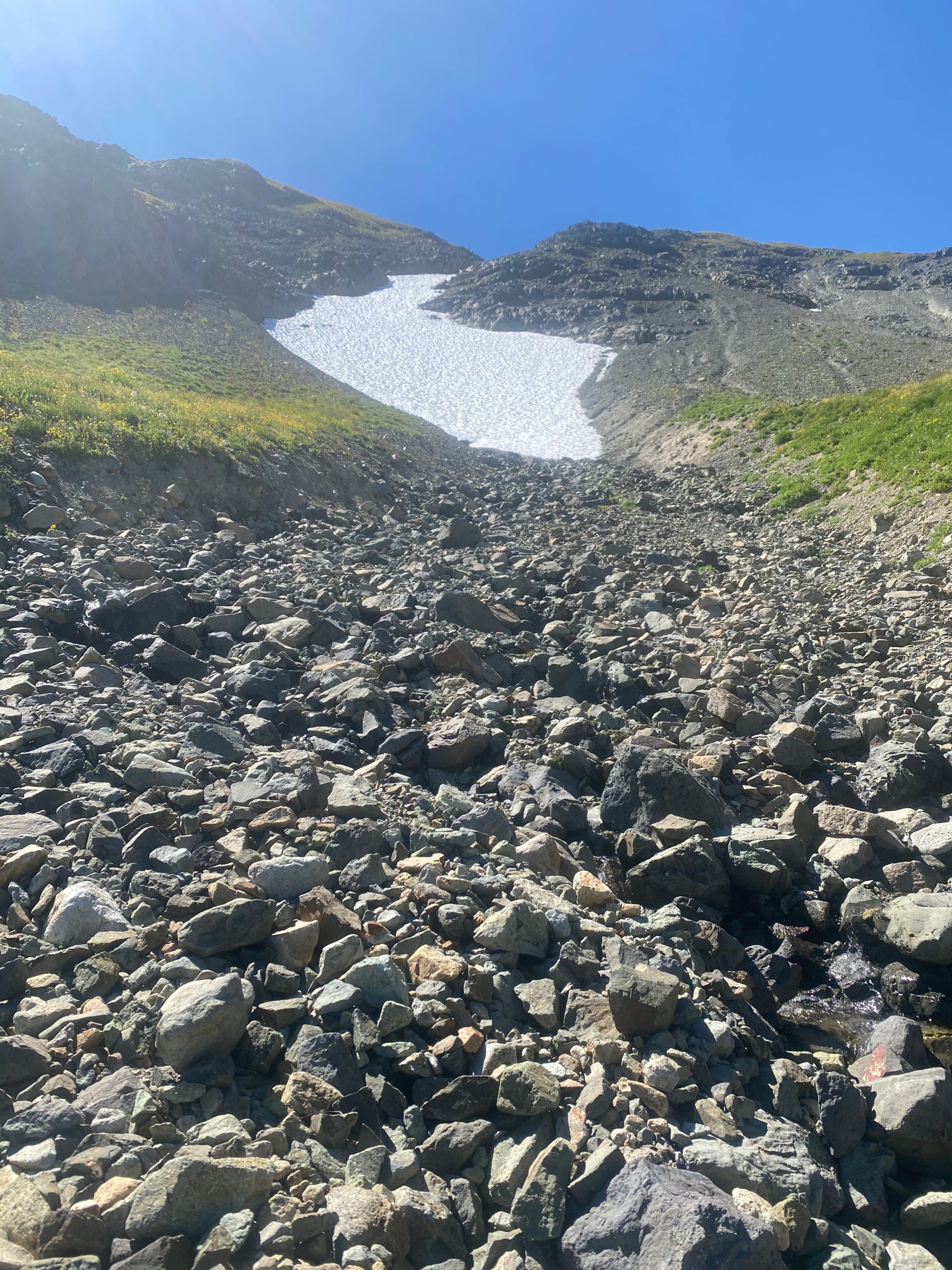
The actual Knifes Edge where you are sure to die if you fall in either direction is a very short part of the trail as far as I can tell. I frankly almost missed it. It really is not clear to me how much of this part is considered the Knifes Edge and how much is just scary trail. I am making this sound pretty bad huh? Well, all I can say is that I did make it across all of it, which I would not have attempted if I was really in fear of my life. I stopped short of Canada by 7 miles so I’m not risking anything. That being said, I would never consider going back to this section and doing it again. It is no place for old men. I think I got the picture below from one of the spots where the trail falls away on both sides. Pretty near the top this is a picture of the other side where the snow is melting. The rushing water can clearly be heard.
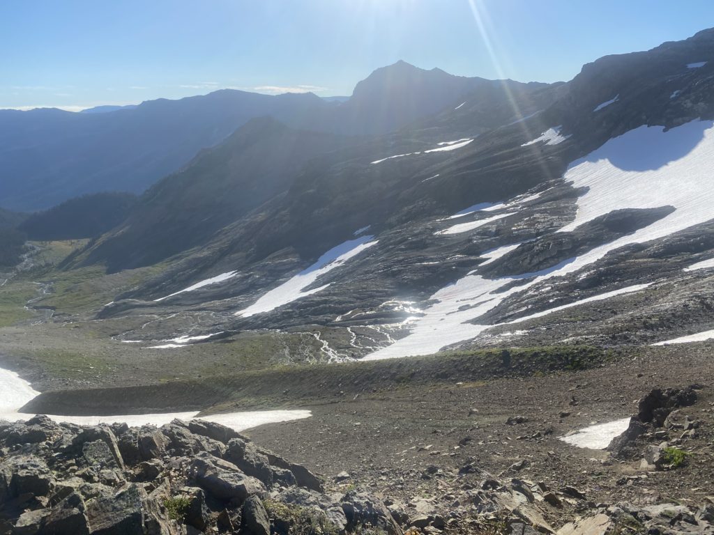
I get to an alternate trail (Old Snowy Mountain Bypass) that I can take to avoid crossing the snow in the image below. As I have learned from others, crossing the snow is either no problem or it is treacherous. The alternate path takes you 400 feet higher and of course then down 400 feet to avoid the snow. I’m not in the mood to go up and down again and so decide to cross the snow. When I get to the snow it is indeed on a steep slope and slipping would not be a good thing. But it had been abnormally warm and even this early in the morning the snow is not ice hard but gives a little when I put my foot in it. I figure it is a lot closer to no problem than it is to treacherous and so I cross. I have mini spikes I can slip on my boots but I don’t figure I even need them. At this point the two guys that said the trail is nasty and the snow is no problem win the day.
Here are some images and videos of the snow crossing.
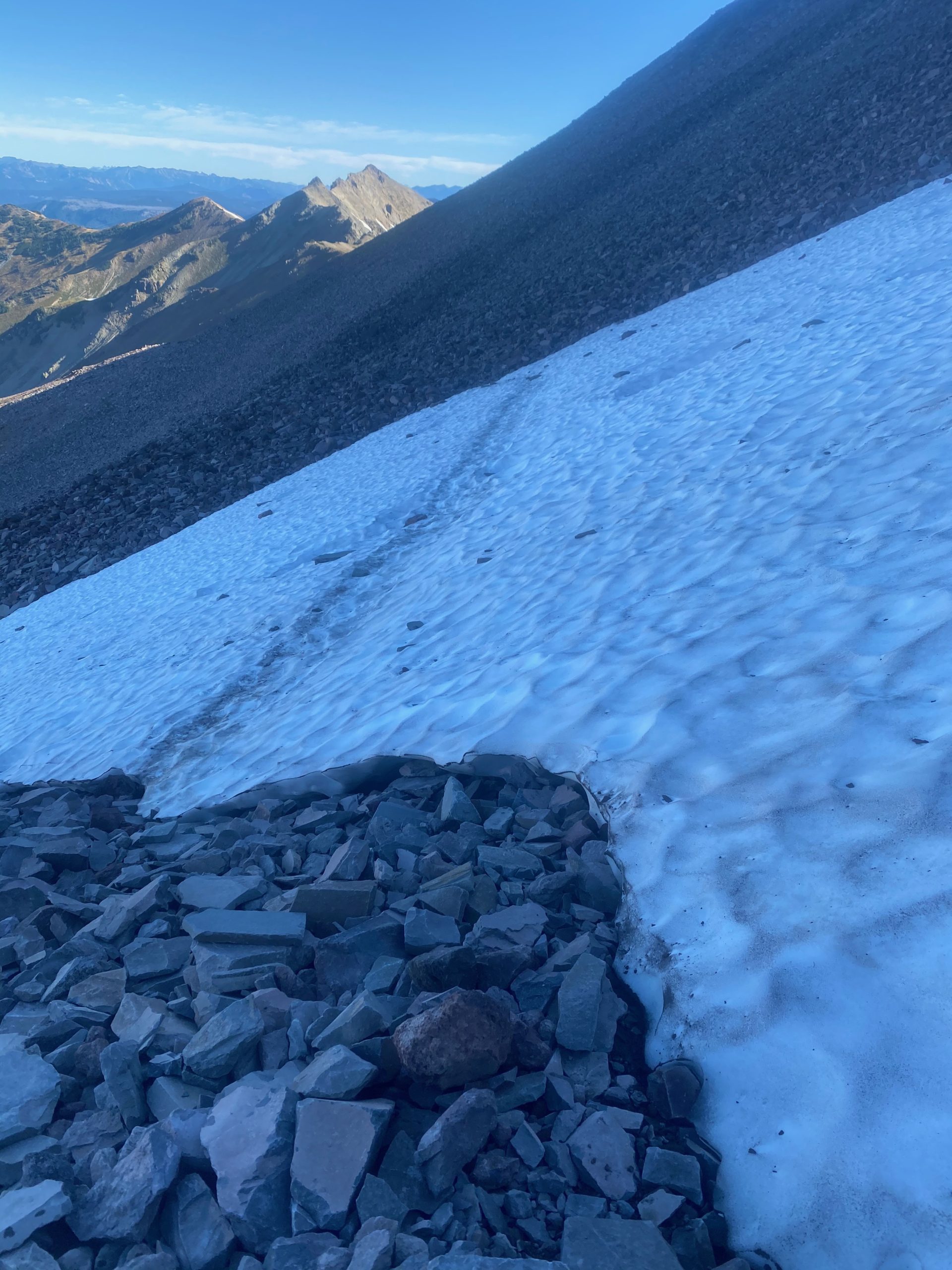
PCT 2280 to 2270. First snow crossing 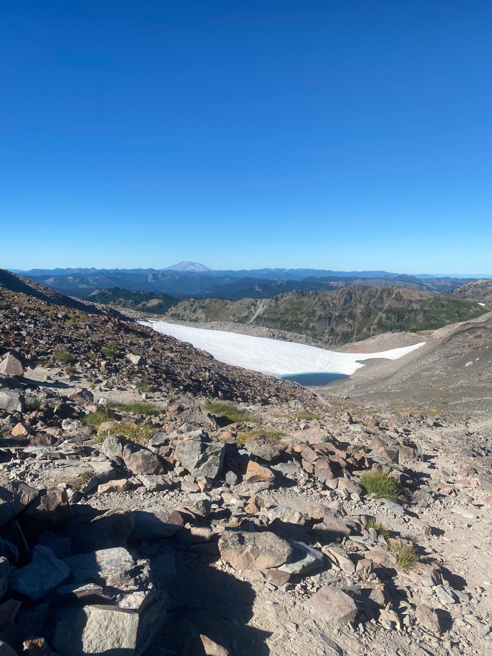
PCT 2280 to 2270. Approaching second snow crossing 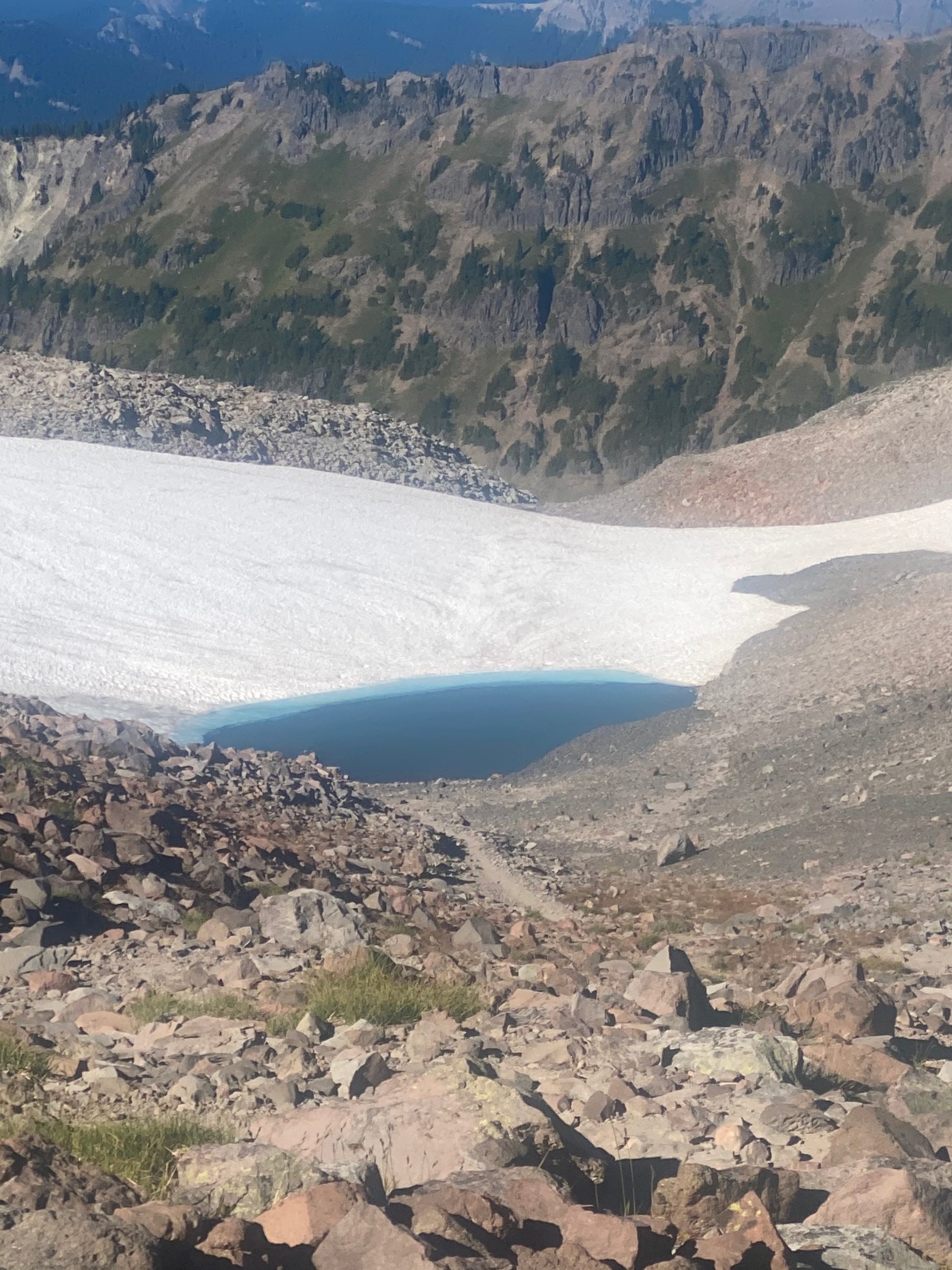
PCT 2280 to 2270. Approaching second snow crossing
At this point I am basically down from the Knifes Edge and I thank God that I am safe. Not that I was ever in danger :). But I take the time to look around and WOW. Watch the video below. It contains Mt. Rainier, Mt. St. Helens, and Mount Adams. Turn on the sound.
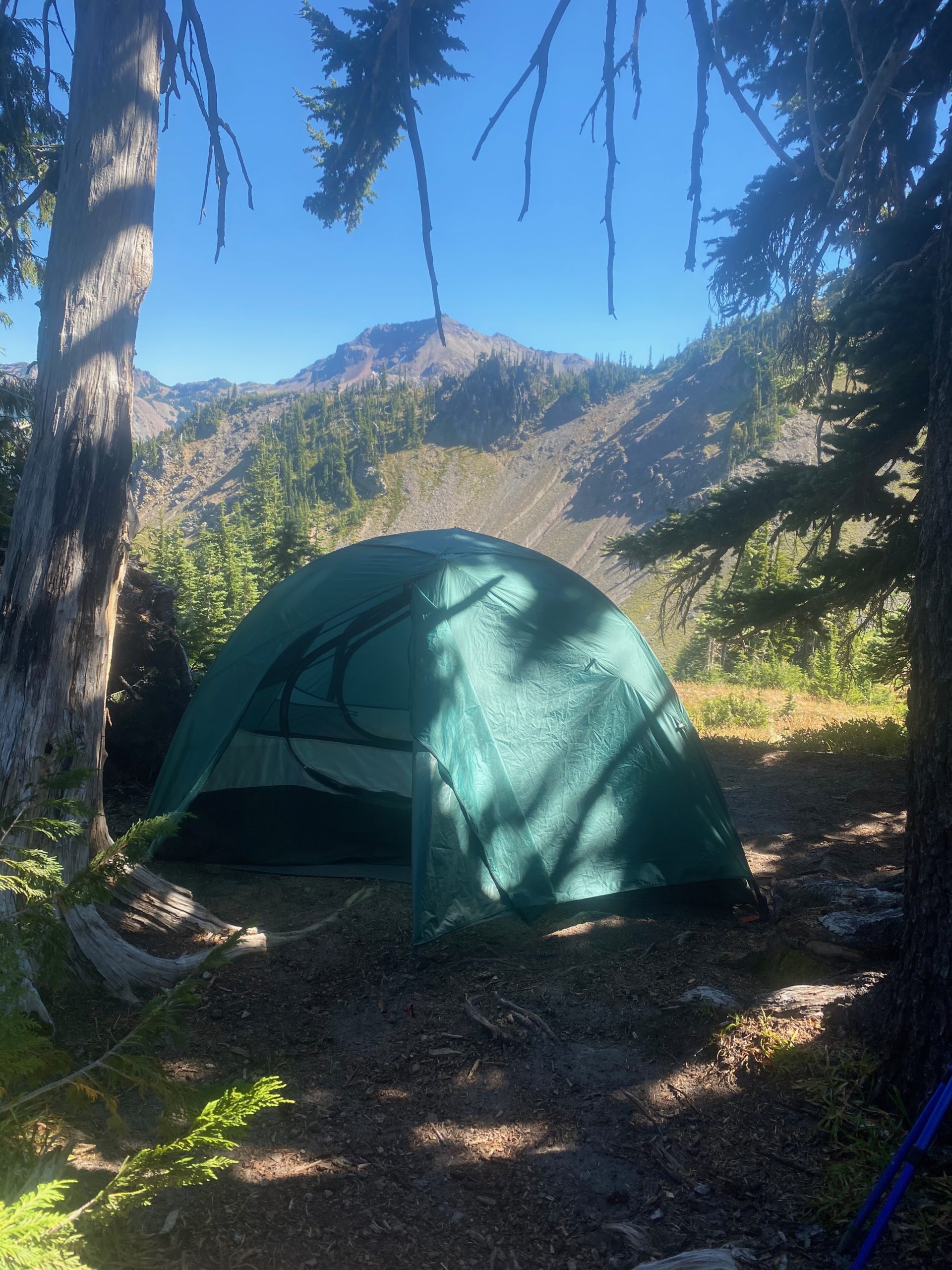
So I stopped short of the Knifes Edge and only did 10 miles the day before and I will stop short after the Knifes Edge and only do 10 miles again. My legs are shaky, the shoulder and hip ache. I’ve only done about 3 miles 🙂 Here are a couple images of the end of day.
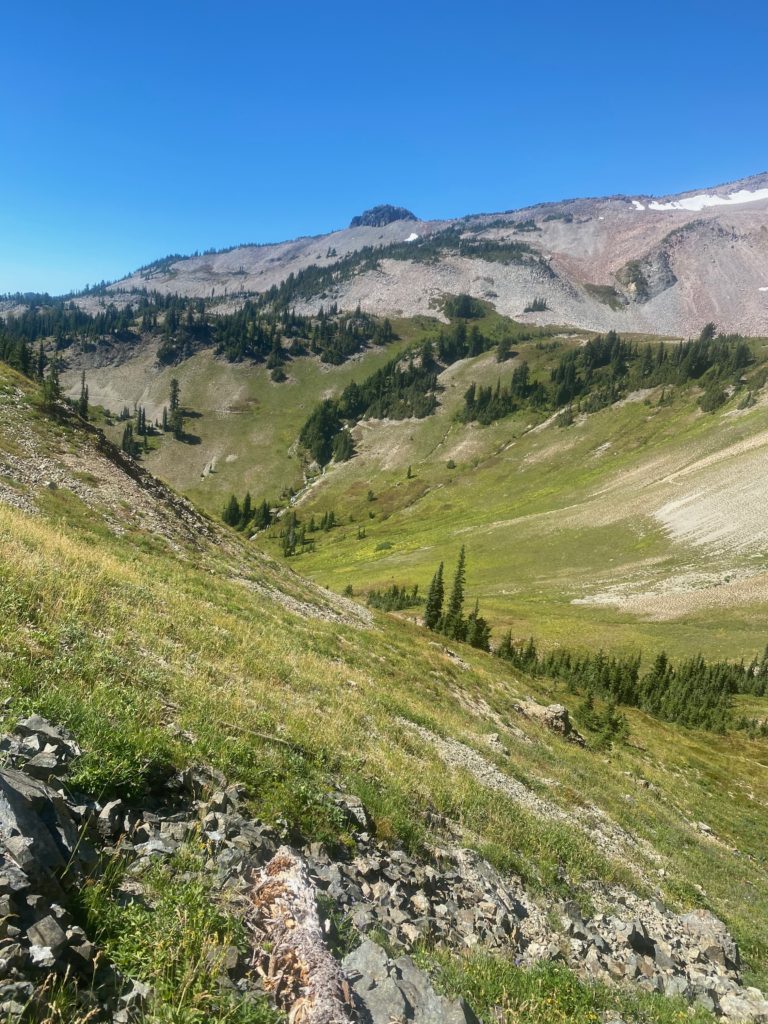
PCT 2280 to 2270. On the way down 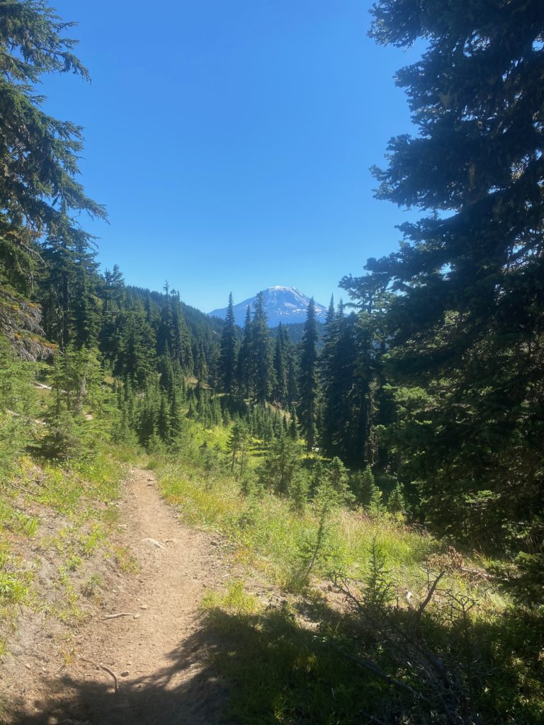
PCT 2280 to 2270. Mount Adams
The hiking for the rest of the day was pretty exposed. They are having a little heat wave here in Washington which makes it nice at night and most of the walking in the day is OK because of tree cover. But this section was a little hot. I pass by Cispus Creek which was a really nice waterfall, then ascend to Cispus Pass and descend into and through a bit of the Yakima Indian Reservation (no hunting or trespassing…. stay on the trail). I stop very close to Sheep Lake. I walk down to the late (1/10 of a mile) and notice there are really nice camp sites on the lake BUT they are all occupied by local folks out for a hiking weekend. I just gather some water and return to my camping spot. As I go back up there is a young man sitting on a log and looking a bit worried. He indicates he is heading for Knifes Edge but is worried about the lack of water as all the sources seem to be drying out. I tell him there are about 5 miles of dry hot hiking but then Cispus creek is wet and beautiful and once he gets to the Knifes Edge area there is water from the snow melt. He is also worried about crossing snow since he will be taking side trails and could have more snow that the PCT. I offer him my mini spikes because I am sick of lugging them around and he gladly accepts. When I get back to camp I notice a knife on the ground. Whoever lost it there is probably very upset. A good HEAVY knife. I think I broke out even on weight.
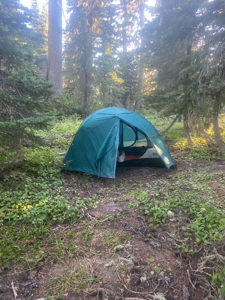
- Miles: 12.4
- Steps: 33042
- PCT Mile: 2270
- Elevation: 5779
- Location: https://w3w.co/headlights.grasped.tactics
