Tag Archives: California

Aug 3 2022 PCT Between 347 to 361

I have a great nights sleep and get up and get ready to go by 5:30. I snap the following picture of the desert below. Wow…. what a view.
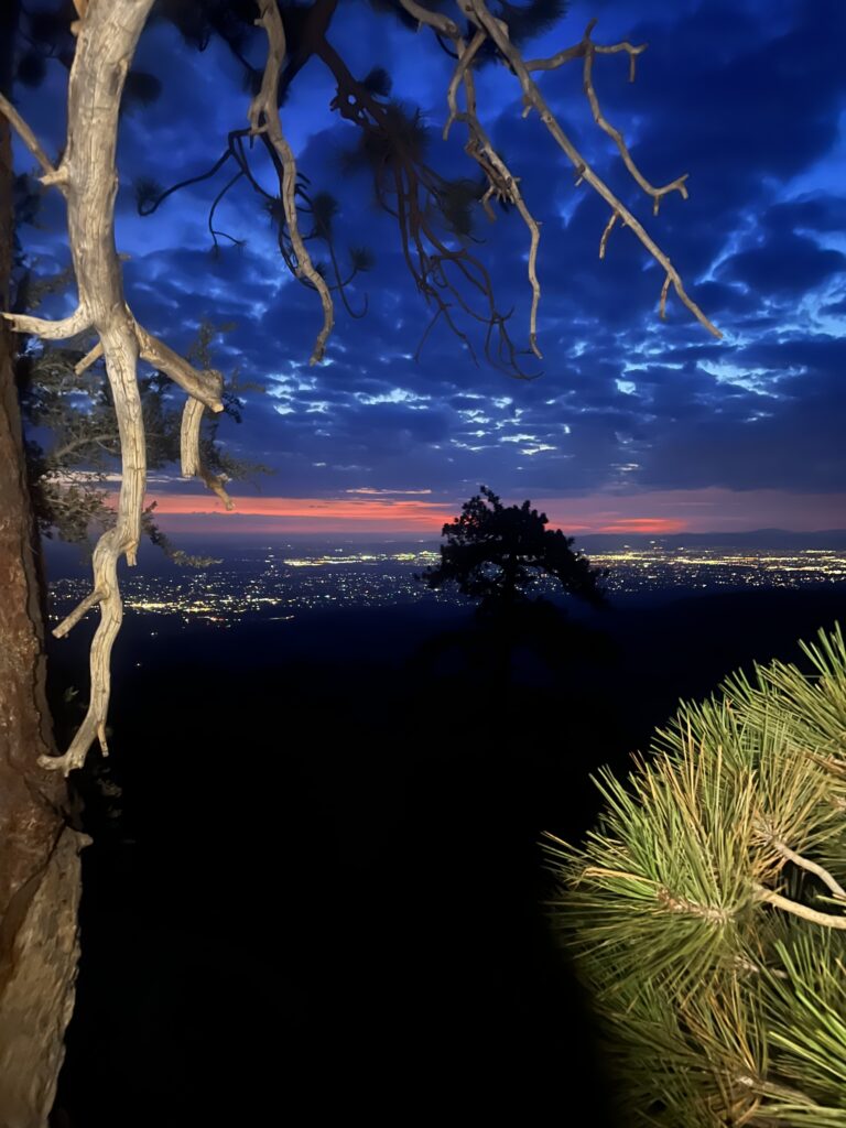
Looking down to the desert in early morning. Looks a bit different than yesterday in the light

I make pretty good time while it is still cool and at about 6:30 I come to a camping spot. Probably very handy for those that are making the 20 mile climb up.
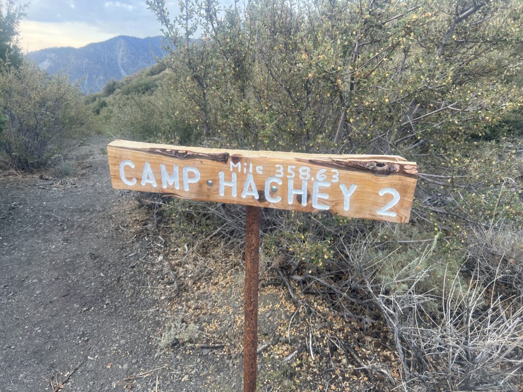
Nice spot if someone needed to set up camp

Still around 6:30 I take the picture below. The sun is just coming up and the desert at this time of day is beautiful.
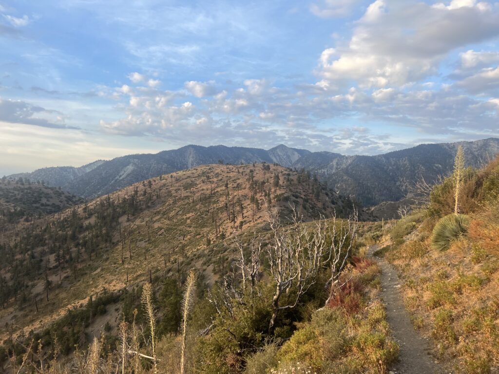
Desert in the morning. Golden hills of California.

At about 7:30 I get to another camp in the desert. This is the only place I know on the PCT where there are signs marking and naming them. I wonder who Hachey is and if he maintains these camp sites year after year. I could not find any information about these sites. They are probably used but since there is no water near-by. Perhaps a trail angel puts a water cache at these areas during the prime hiking season for this section.
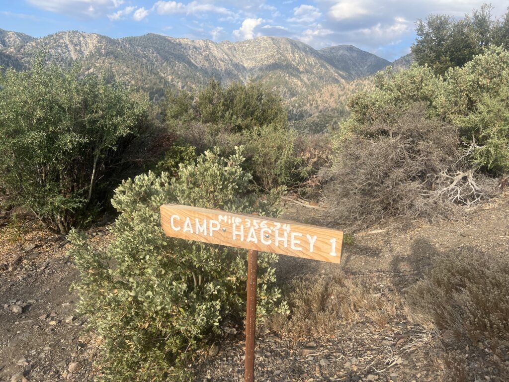
Another camping spot. Now only if there were some water

At about 11:30 it is just plain hot and there is no shade to be found. I snap the picture below and my attitude has changed. The hills are not golden, the hills are dead.
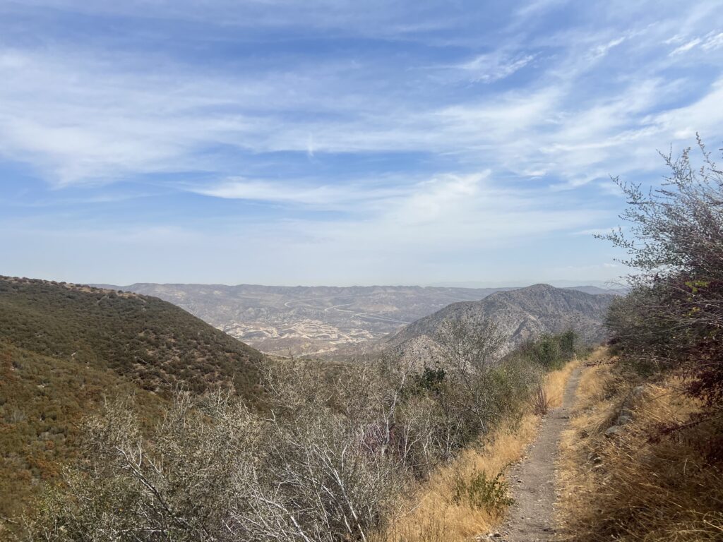
Later in the day. MUCH HOTTER. Not golden, rather dead!

At noon I finally find some shade. If I take off my pack I can squeeze most of my upper body into that little cave and get a little shade. That is exactly what I do.
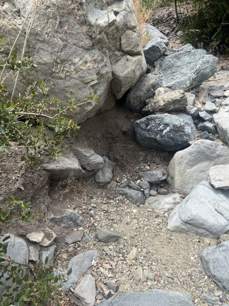
Whose idea was it to hike the desert in August? I actually crawl into little hole for some shade

It is really dangerously hot. The trail gets down to the desert flow in about 5 miles as Swathout Canyon road. That also happens to be about 5 miles short of I15. I ask Martha to meet me there rather than at I15. She gets there earlier than I do and starts to walk the trail to meet me. After about a mile she does exactly that and she has brought some water with yet that I drink right away. She wonders why anyone would want to do this. She has walked one of the most miserable miles on the PCT.

California is a done deal. We now drive to Tucson to pick up Lenora and all of us head to Washington. On the way we see a Diamondbacks baseball game in Phoenix and a Mariners baseball game in Seattle.
Aug 1 2022 PCT Between 374 to 386

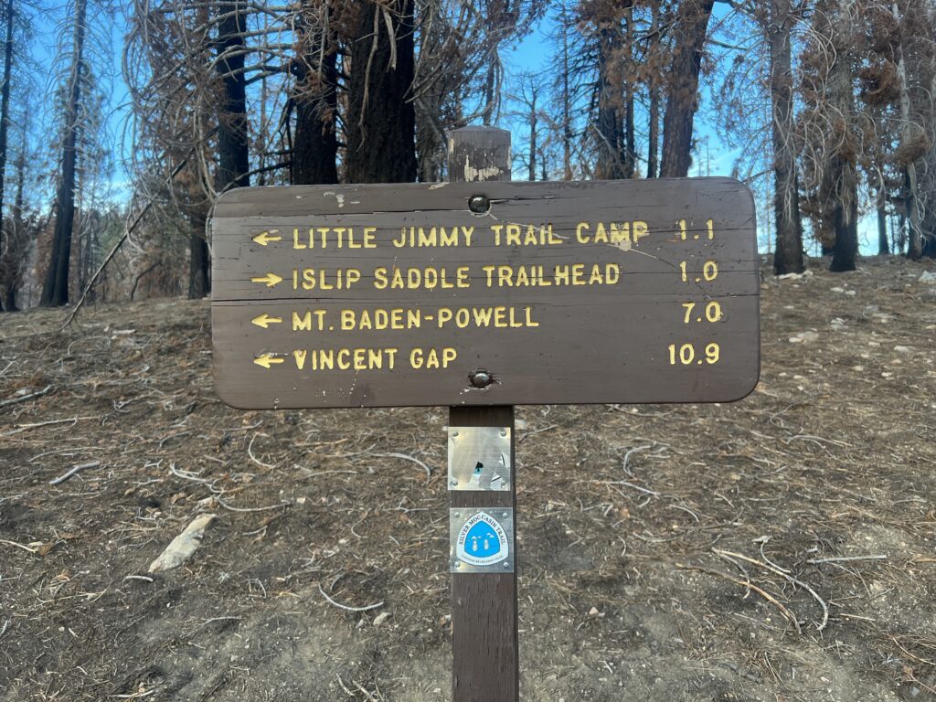
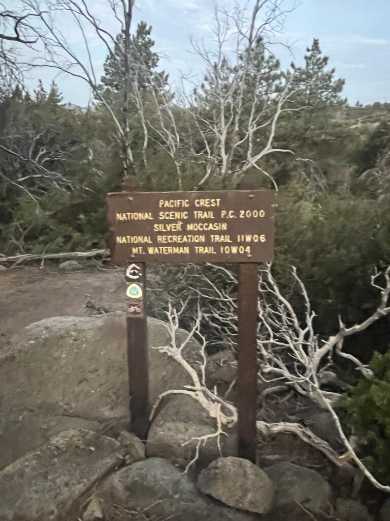
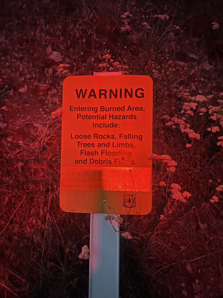
Martha brings me back to Islip Saddle early in the morning. At the beginning of the trail we have the sign below. I keep wondering why I can’t seem to get a good picture of it and I remember latter that I still had my headlamp on in red light mode. Seems appropriate for the sign however.

No Problem

Martha captures the start of my hike with my headlamp still on. Just a red light moving up the hill.

Spooky

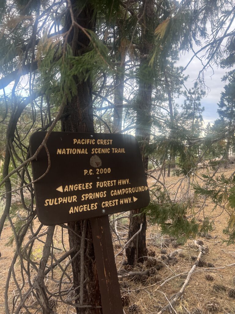
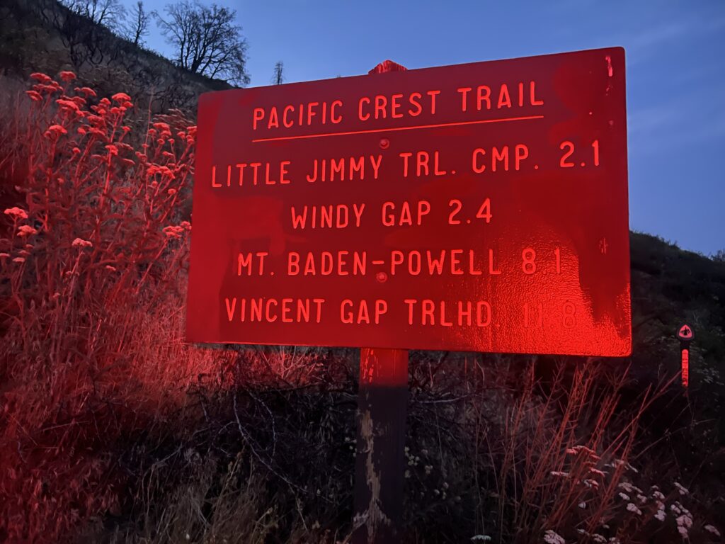
A little later I take a picture of the sign below. Headlamp still on!! I’m climbing up to the top of Mt. Baden-Powell.

Vincent Gap is goal for today. Must climb pesky mountain first
I’m making great progress

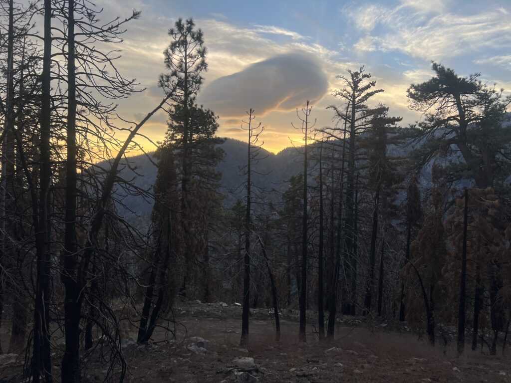
Just love the PCT in the morning!! Do you wonder why I never get a picture of a sunset? Because by the time the sun sets I have generally been asleep for at least 2 hours.

Sunrise on the PCT
Early morning view

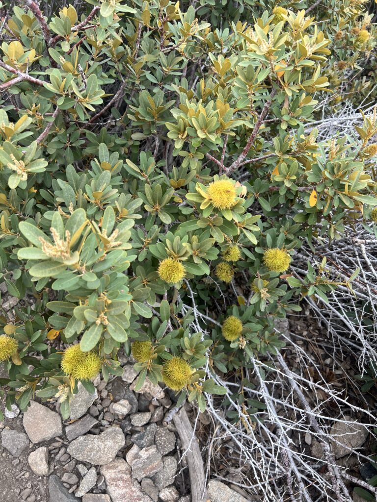
I kept going past the plant below and one time brushed up against it and ended up with spines in my pants. A nasty little plant.

Golden Chestnut. Sharp spines of this pretty plant

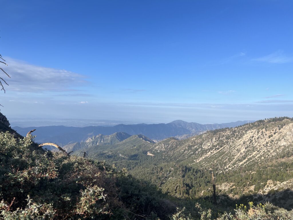
Working my way up to the top of Mt. Baden-Powell I take some pictures.

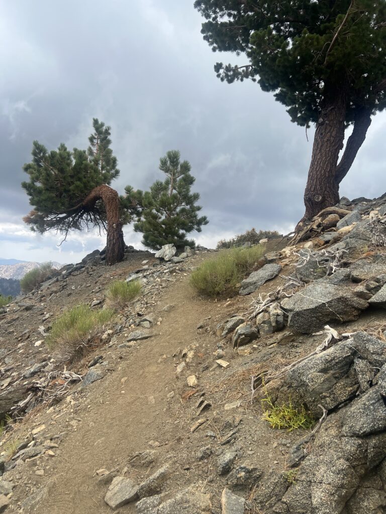
Tree on left has had a hard life
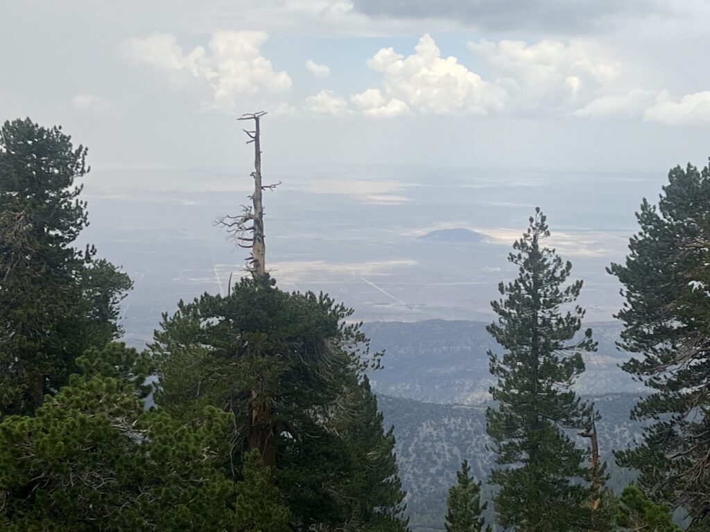
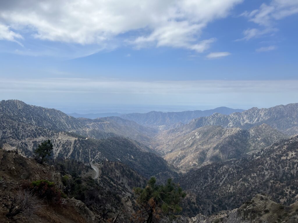
Looking down into the desert

The video below is me at the top of this part of the world. And now it is time to start the long walk back down to Vincents Gap along Hwy 2. 4 miles down about a 13% grade. Lots and lots of switchbacks. There are some people I see on the way down that are working their way to the top and some that just go up part way and make a lot of noise and then walk back down to Vincent gap.

View from Mount Baden-Powell

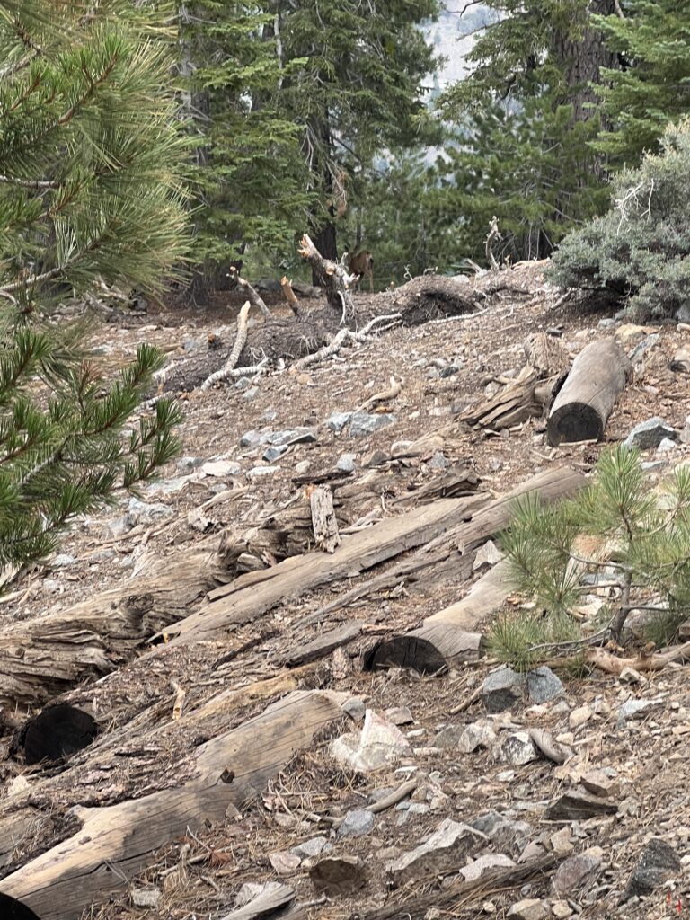
About 2 hours from the top I see a couple deer and manage the get a picture of the backside of one. Can you see it?

Find the deer

I finally make it down to Vincent Gap on Hwy 2 which has a picnic table and toilets. I make sure of each. Martha has left a cache of water here as well and so I fill up on water and camp here for the night. Pretty good day of hiking. Nice views at the top of the mountain.

July 31 2022 PCT Between 386 to 404

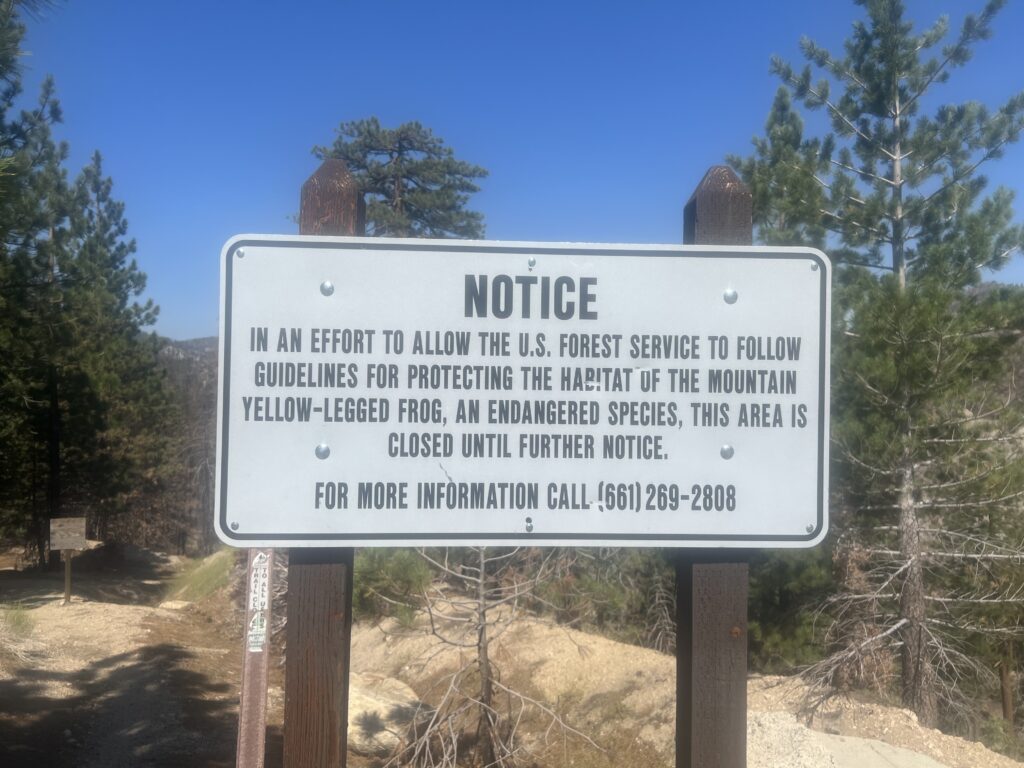
The plan all along was for Martha to pick me and transport me around the closure of the PCT to protect an endangered species. Now this section of the PCT has been closed as long as I can remember and YET there are still no good options go get past the closure. The PCT organization lists 3 BAD options for getting around this closure. Might be about time to figure out a good option since I don’t think this frog is going away. So Martha actually transports me from mile 403 to 390 and provides me with the trail magic and some cold water.

Trail closed

Signs are nice

So after I am dropped of I have two significant ascents to overcome. One of them is 3.4 miles with an average incline of 13%. It takes me forever! I have have to stop often just to try to catch my breath and get my heart to settle down. The first real test of my lungs and I don’t like the result. But I eventually make it to the top. Takes me over 3 hours to do 3.4 miles. About a mile an hour. Try to walk on a treadmill set at 1 mile per hour. It will drive you crazy.

Looking down at San Gabriel Canyon

After getting to the top it is back to go back down. That is a little faster and I end up back on Hwy 2 at Islap Saddle. Martha has actually enjoyed the area this whole time and picks me up and takes me back to Palmdale to sleep in the hotel for the night. Next morning she brings me back.

July 30 2022 PCT Between 404 to 415

Had a good first night on the trail and get started around 5:30 in the morning. Love the mornings. Full of energy and generally cool weather. The sign below is really quite nice. Almost looks new.

Signs are nice

After about 2 hours I think I might be emerging from the barren desert and coming into some high desert that will at least afford some shade. Nice to see the big trees

Some Trees coming out of lower desert

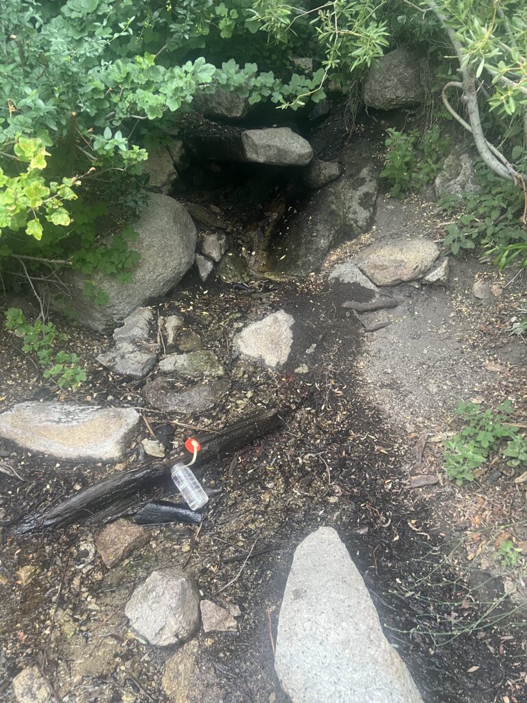
Another hour later I come to this little stream that has a trickle of water. I can put my glass down there and leave it for awhile to get filled. Only takes a minute. Then I can use my life-straw to drink it. The lift-straw is very handy as I can use it to get water immediately and don’t have to wait the 30 minutes it takes for the purifier to work.

Nice trickle of water caught in my water bottle

About 30 minutes later a rattlesnake slithers across the path and down into the brush. He was pretty loud and did not appreciate me at all. Coiled up a bit while I was looking at him and while I tried to get his picture.

Zoom in to see Diamond Back Rattler. He don’t like me much

The rest of the day was not all the eventful. Pretty much all uphill and I was passed by many locals out for walk. None of them were equipped for overnight camping and so I was not worried about getting a camp site. There are no PCT hikers here this time of year. They are generally in this area in late April or May.

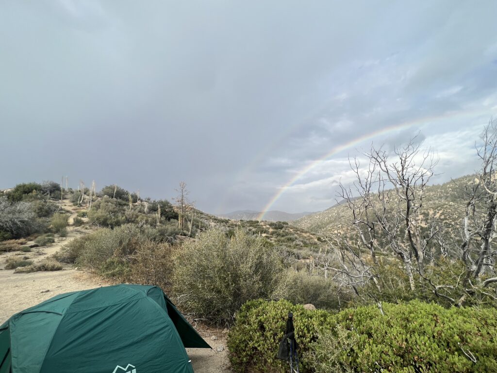
Got to a good place to camp and it started to rain very lightly while I was setting up camp. This was a pleasant surprise as I did not think it ever rained in California. I got a double rainbow just beyond my camp site. You can tells I’m still pretty much is a desert environment.

A little rain and honored with a double rainbow

July 29, 2022 PCT Between 415 to 418.6

This is the final year of the PCT and the point of this year is to fill in a couple areas where I was off the trail because of injury or because of fire. In 2015 (the first year) I had to go off the trial because I burned my knee by spilling boiling water on it. I was off trail for a week and when I went back on the trail I continued from where I would have been if I had not taken the time off. That section is 80 miles and starts at Cahon Pass by the famous McDonalds on Interstate 15 and extends into the Angeles National Forest and past the Wrightwood Ski Resort. The second section is 200 miles and is up in Washington and goes from Snoqualmie on Interstate 90 up to Rainy Pass on Hwy 20.

Mid August is a good time to be in Washington and it turns out Lenora had a needlework conference in Tucson at the end of July and so Lenora and Martha and I figure that is a good time to start California. While Lenora is at the conference, I will do the 80 mile California section and then we will all head up to Washington and finish it off.

Lenora helped me train to get ready for this by hiking with me in Georgia. There was a 5 mile hike to a Lodge in the mountains. 5 in and 5 back for a nice 10 mile hike. We started doing this pretty soon after having COVID and I was shocked at how little stamina I had. I would run out of breath and have to rest going up the modest hills on this hike. At one point Lenora mentioned she was worried about me and I told her I was worried as well. I got a little stronger each time but not much. BUT, I was still determined to finish the PCT and so we kept the plans.

Martha and I drive from Tucson up to California and for logistical reasons decide to stay in Palmdale CA which is very near the end point of my hike. Since we are there we decide to actual start at the end (north) and hike south. Turns out to be a very good decision and it puts 20 miles of my hike in the desert going mostly downhill rather than mostly uphill.

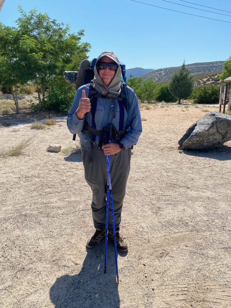
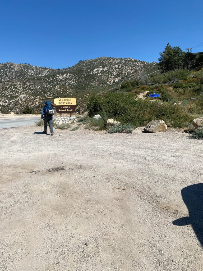
Here I am starting out towards the end of the day. Starting at the Mill Creek Fire Station on the Angeles Forest Hwy. Just want to get a few miles in. However it is over ninety degrees. Yes, I am starting my hike in the desert in August with perhaps weak lungs. What could go wrong 🙂 The good news is that a large portion of this section is very close to Hwy 2 just north of Los Angeles and crosses it multiple times. There are many places I can be picked up if necessary.

Ready to go
And so it begins

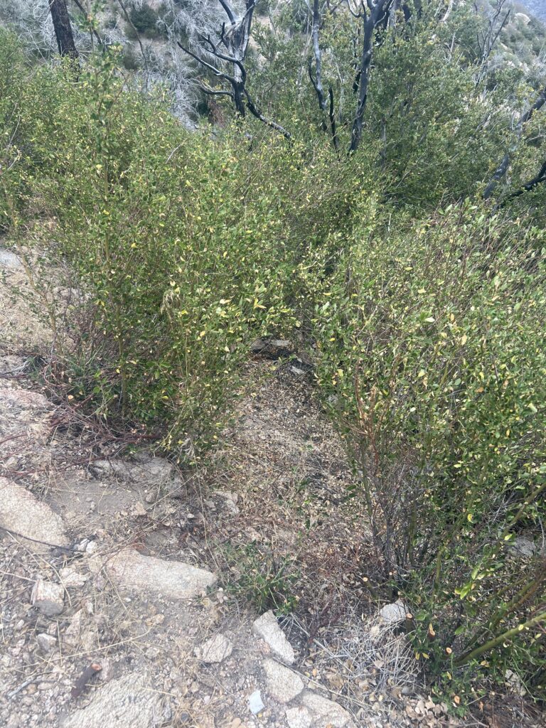
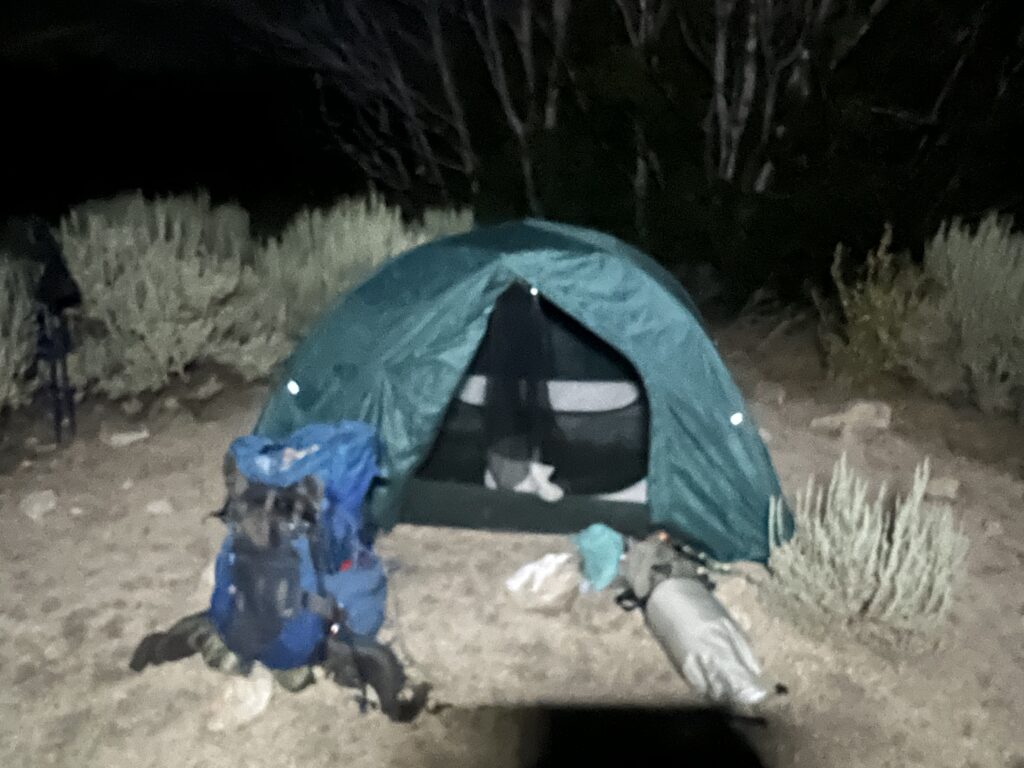
The first part of the trail here is uphill but not drastically so. Even so, I only make it a little over 3 miles before I get to a camp site and decide to quit. On the way up, I pass 2 older ladies who indicate I am the first person they have seen all day. But they say that tomorrow is the weekend and all the crazies come out. I can see the lights of Palmdale from my campsite.

Campsite first night of PCT 2022

Aug 2 2022 PCT Between 361 to 374

After a good nights sleep the trail today takes me up from Vincent Gap to the Wrightwood ski lifts. Other than around the ski lifts the trail does not look too steep. After that I have the long mostly downhill walk back into the desert and to Cahon Pass. It will take two days and today I only want to get the the top so I can start my way down tomorrow.

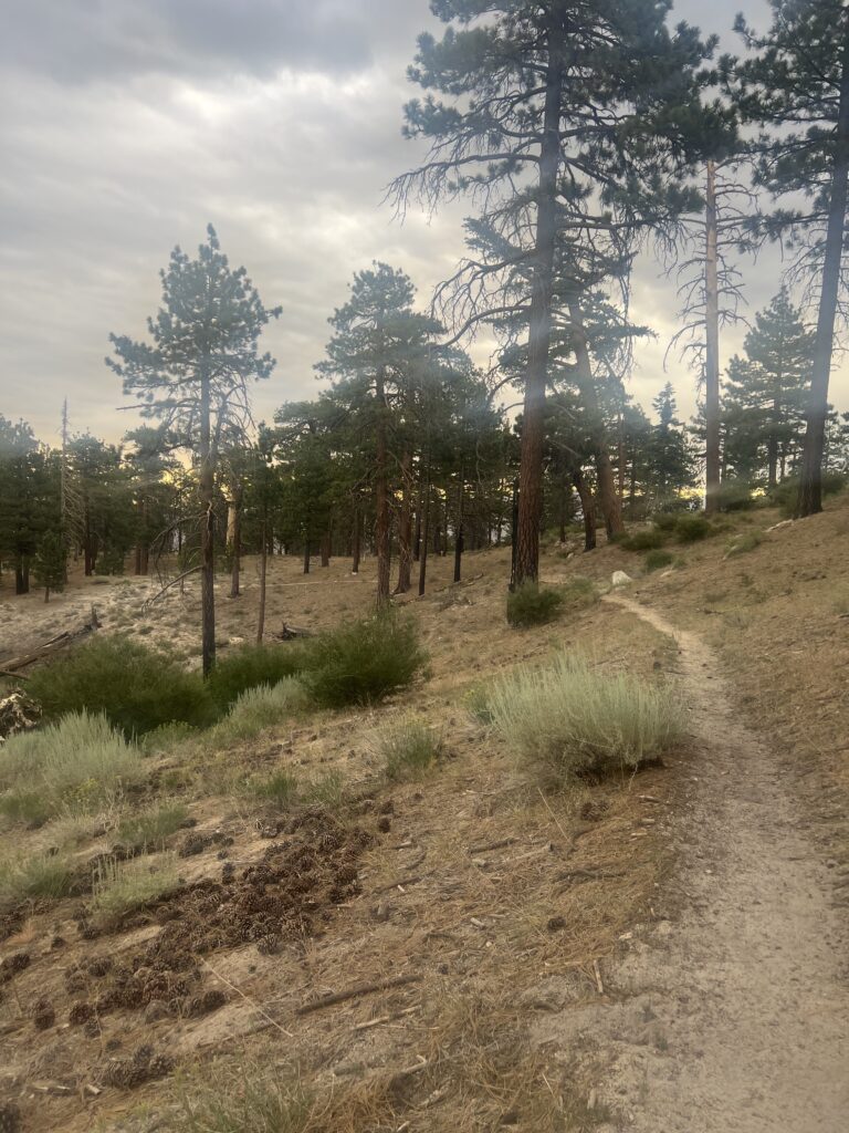
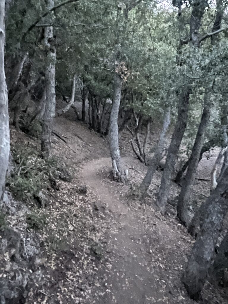
Around 6 in the morning I come to the little section of the trail shown below. It reminds me so much of the PCT just at it enters into Warner Springs early on in the trail.

This reminds me of winding around in trees by Warner Springs California

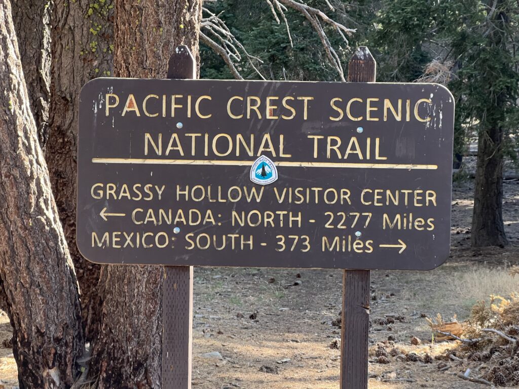
Around 8 in the morning I get Grassy Hollow Visitor Center which is deserted. There are restrooms there and one of them is open. Suppose to be water here but I did not find any and Martha warned be I would not. Spent a little time here and had a snack before moving on. Looked at the sign below and pondered how many miles I had hiked.

Love this sign!

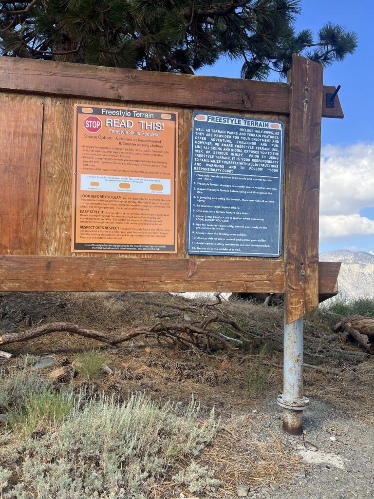
Around 10 I get to one of the Wrightwood lifts and just need to take a picture of the board of rules.

I don’t ski. Too many rules. Wrightwood Ski Resort

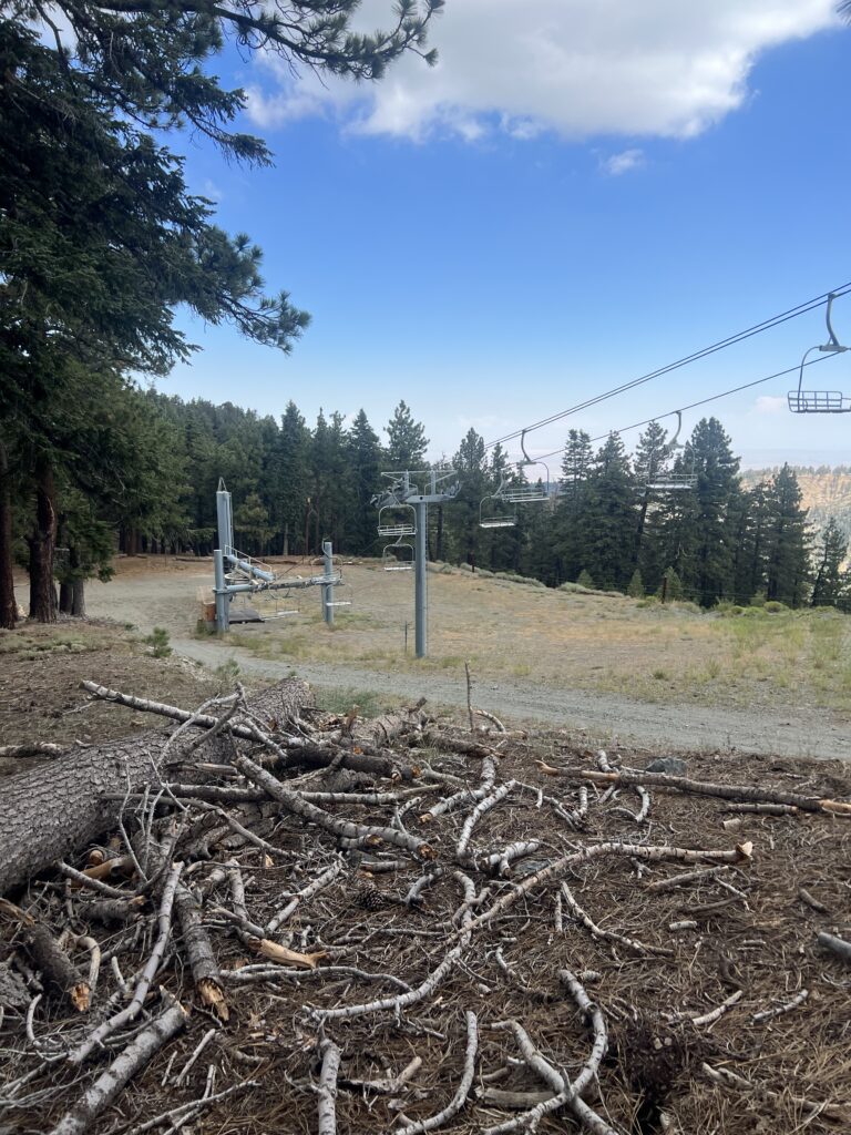
Around 11 I get to some ski lifts. Really wish they were working and I would ride them to the top.

Wrightwood Ski Lift

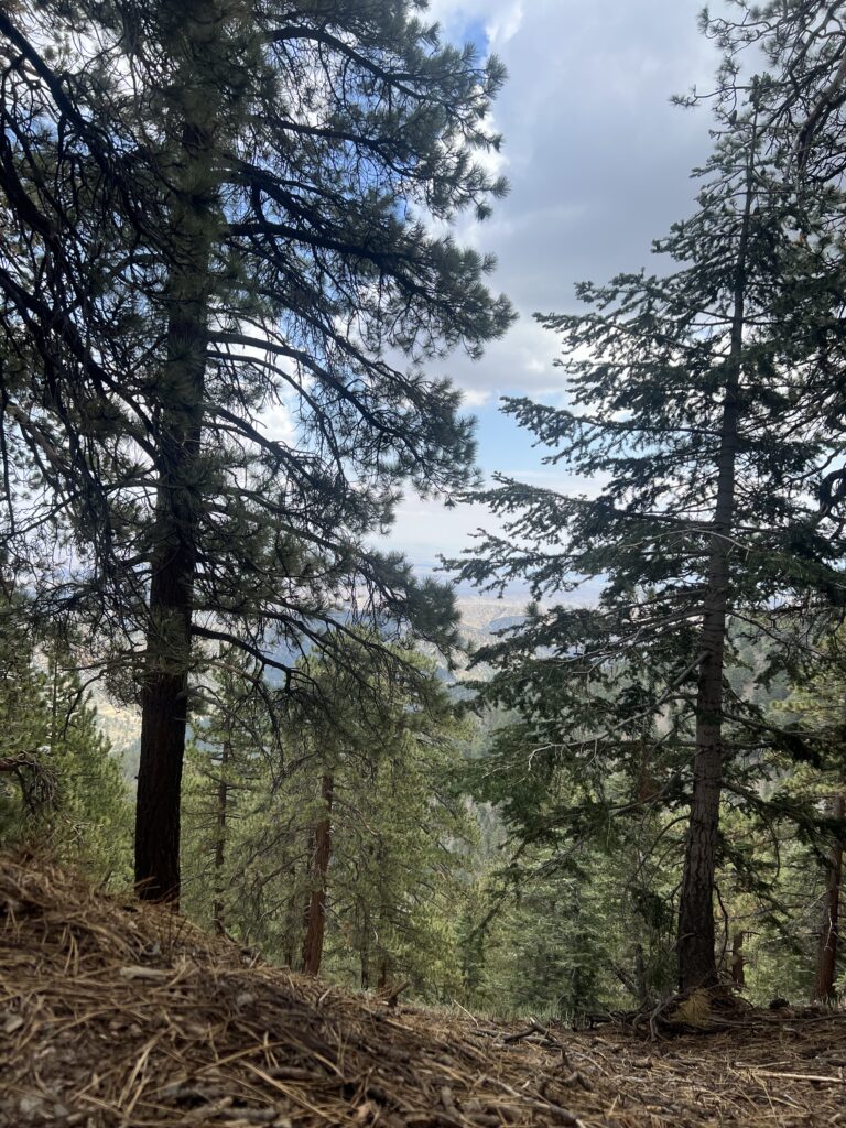
At 12:30 I take the picture below. I have no idea why. At this time my brain in oxygen deprived and I’m sure I saw something very interesting. Perhaps Big Foot?

There is a lovely amount of contrast in this picture

Around 2 pm Martha meets me on a dirt road to bring me supplies for the walk back into the desert. I get fed diet cokes and quarter pounder with cheese. I get there a little before her and decide to lay down for a nap while I wait. I literally just lie down on the dirt with a rock under my head and fall off to sleep. Just before Martha arrives another hiker comes by and he sees me lying on the road and figures something is wrong. He yells which wakes me up and I look around but can’t see anything and then he comes rushing down the trail worried that I am hurt. About the same time Martha arrives and I tell him that I was just waiting for her to arrive with some supplies. He is greatly relieved and spends the next 45 minutes talking with us and comparing knifes with Martha. He was not a PCT hiker but just a local that liked to hike the area. It was all pretty amusing. I got fed and watered and supplied and continued on.

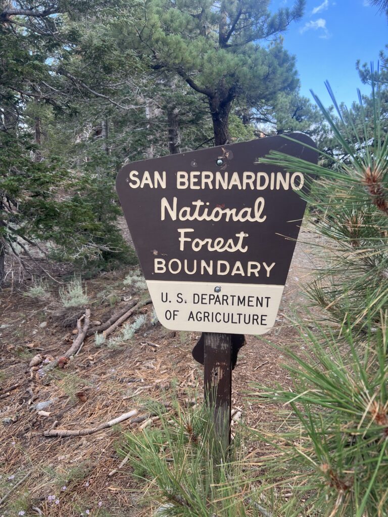
At 3:30 I am leaving Angeles and entering San Bernardino National Forest.

Entering new National Forest

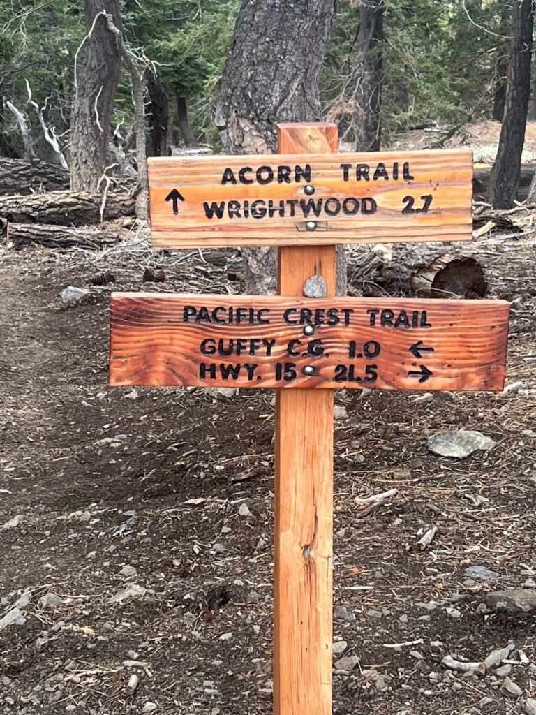
Not sure how much of a destination Wrightwood is on the PCT. It is a cute town and is probably a good spot for resupply. I have 21.5 miles to go to I15 and termination of this section. Most of that will happen tomorrow.s

Only 21.5 miles to do for this 2022 California PCT Adventure

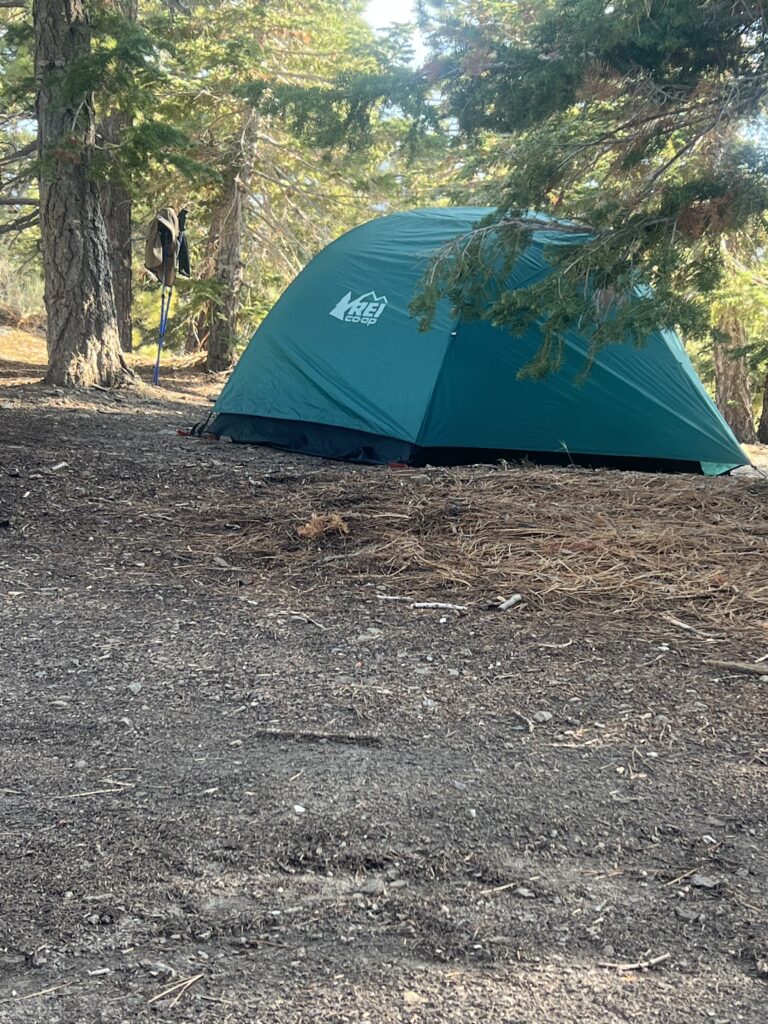
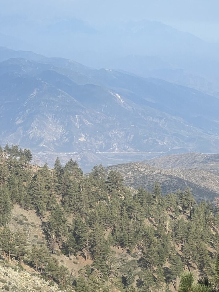
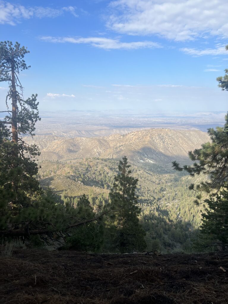
Got to the top where I am about to start the descent to I15 and decide to stop and take some pictures of where I will be hiking tomorrow. I expect it to be very hot and so I hope to get an early start and get some miles before the sun comes up.

Camp set up right along the ridge

Way down there is Interstate 15. Tomorrows destination.
From campsite looking down into the desert