It has been hot and dry and so I made the decision last night to not put the rain fly on my tent. It was nice to be able to look up from the tent and see the trees and the sky. However, everything in the morning as slightly and annoyingly moist. I had not noticed any moisture the last two nights on the rain fly and so I thought it would be ok. I’m dry inside my sleeping bag and my hiking cloths are also dry because I put them inside the bag with me to keep them warm for the morning. So it could have been worse. I get packed up and start walking towards the trail. After what I think is too long of a walk I start to wonder if I walked the right way because I have not found the trail. It is dark and I’m walking with a headlamp. I return to the tent site and get my bearings and decide I was indeed going in the correct direction for the trial. I can tell the land is sloping down towards a lake. I head out again with a little more trust and eventually reach the trail and start the day. Get to a stream about 7am for some nice clear cold water and breakfast
They like you to register while in the wilderness so they know you are there if something happens. Oh…. Like a fire I’m guessing. Registration not possible however as this location needs a little repair
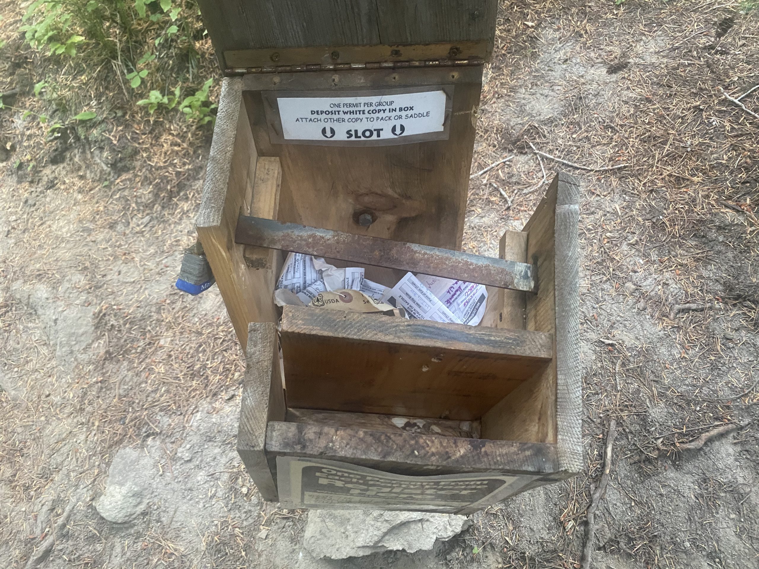
PCT 2256 to 2242. They want you to register but this site is a bit broken and has no forms 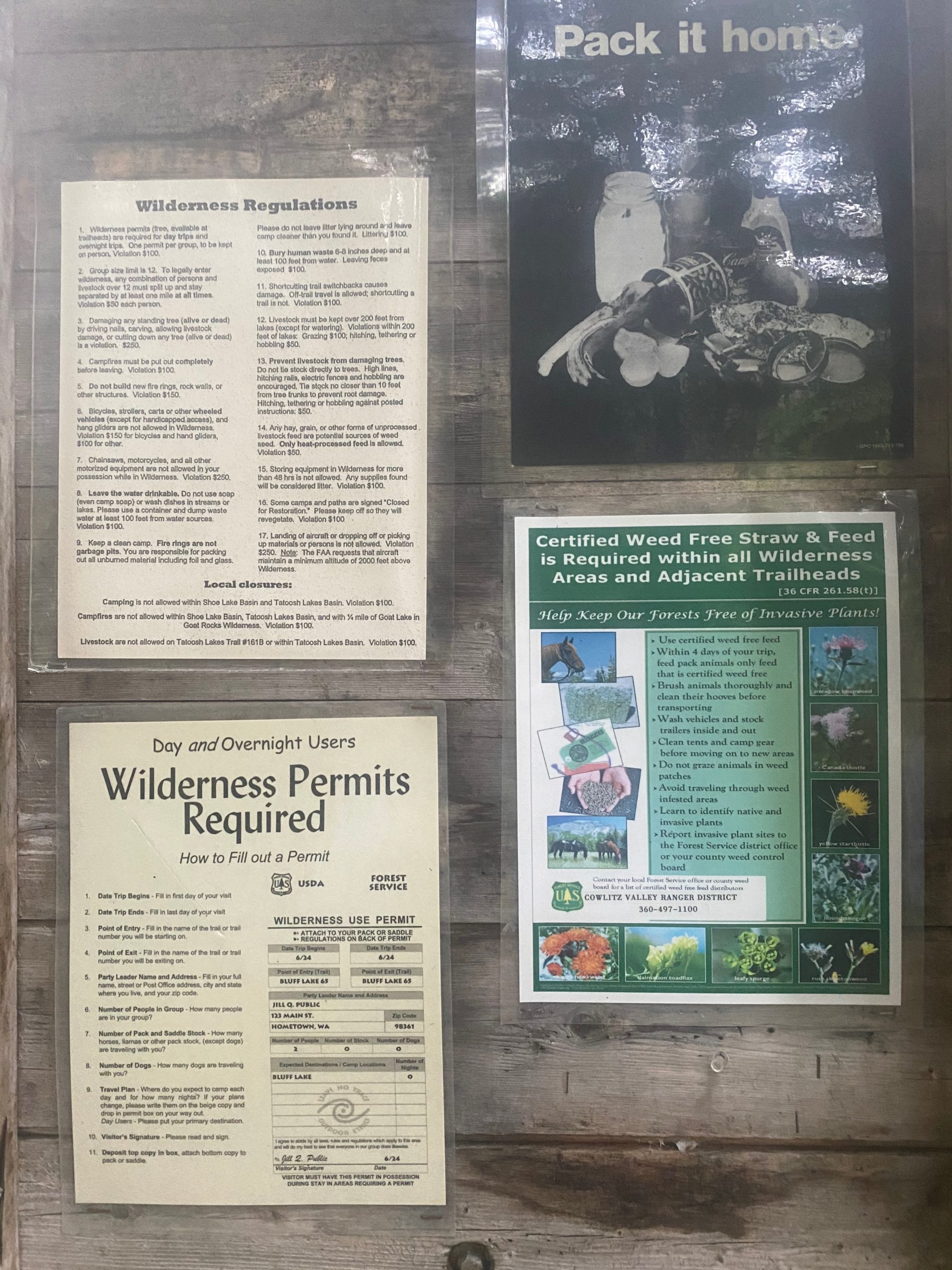
PCT 2256 to 2242.
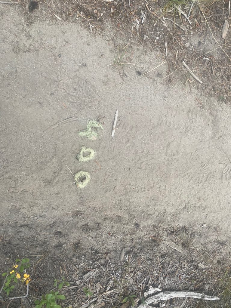
People do like to report milestones along the trail. Mostly they are done with rocks showing the mileage. This was done with tree moss. I thought very clever. Showing south bounders they have traveled 400 miles at this point.
As I travel on I am on the edge of a lava field with huge rocks. Eventually come to a spot called Lava Spring because a beautiful little stream emerges out of the lava mountain at this point. It has nice places to camp and the beautiful stream. I stop here to have a meal and talk to a PCT thru hiker that comes in from the south. He is traveling with a 72 year old named Bo Jangles and he wants me to tell him about the Knifes Edge. Apparently Bo Jangles is worried about the snow fields. Bo is about a mile behind and I meet him as I start the climb from the stream. I tell Bo my opinion about the Knifes Edge. The snow fields will not be a problem. Just be careful when going down hill. Bo looked pretty good for having done more than 2200 miles of the PCT at the age of 72!!
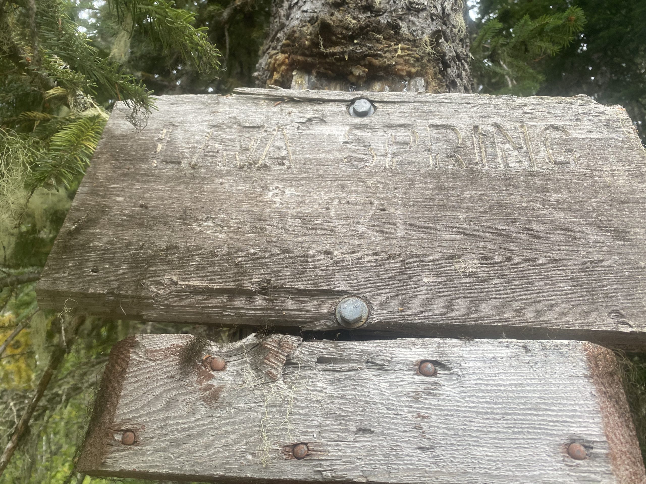
PCT 2256 to 2242. Lava Spring is a wonderful spot 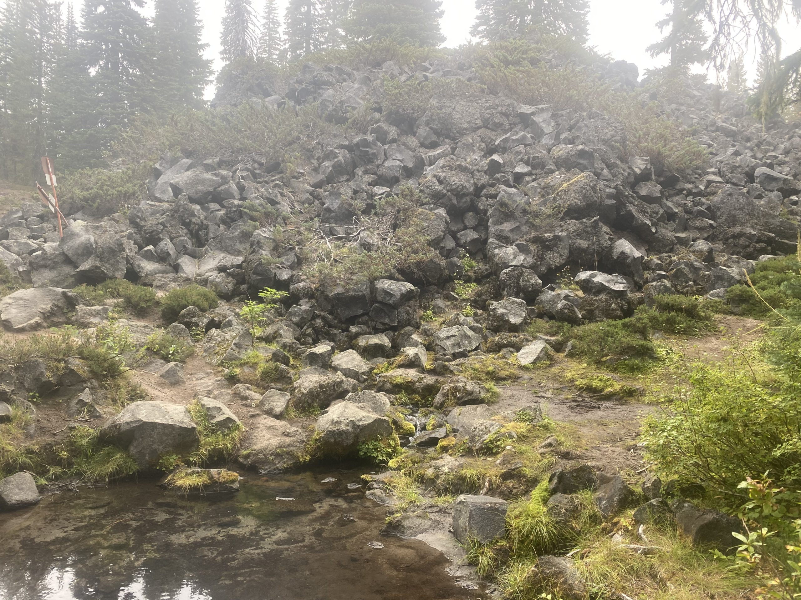
PCT 2256 to 2242. Lava stream. Water flowing out of lava mountain
It is a pretty good climb to get from Lava Spring to Killian Creek. Not intense but consistent and long. But Killian Spring was a nice place to end up at the top. I had more to eat here and washed my shirt. Lots of locals coming through. I also get what I believe will be last look at Mount Rainier.
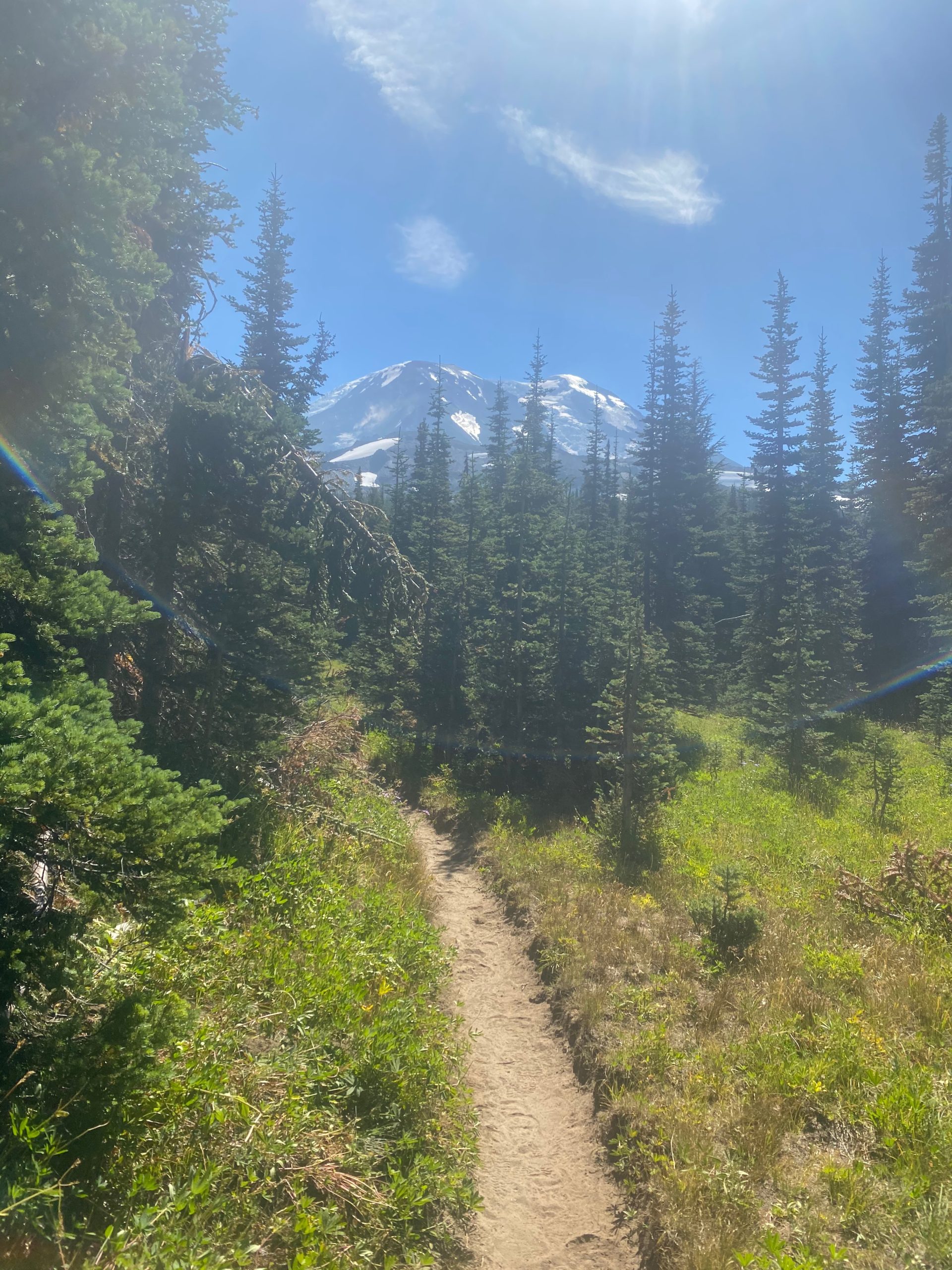
PCT 2256 to 2242. Mount Adams 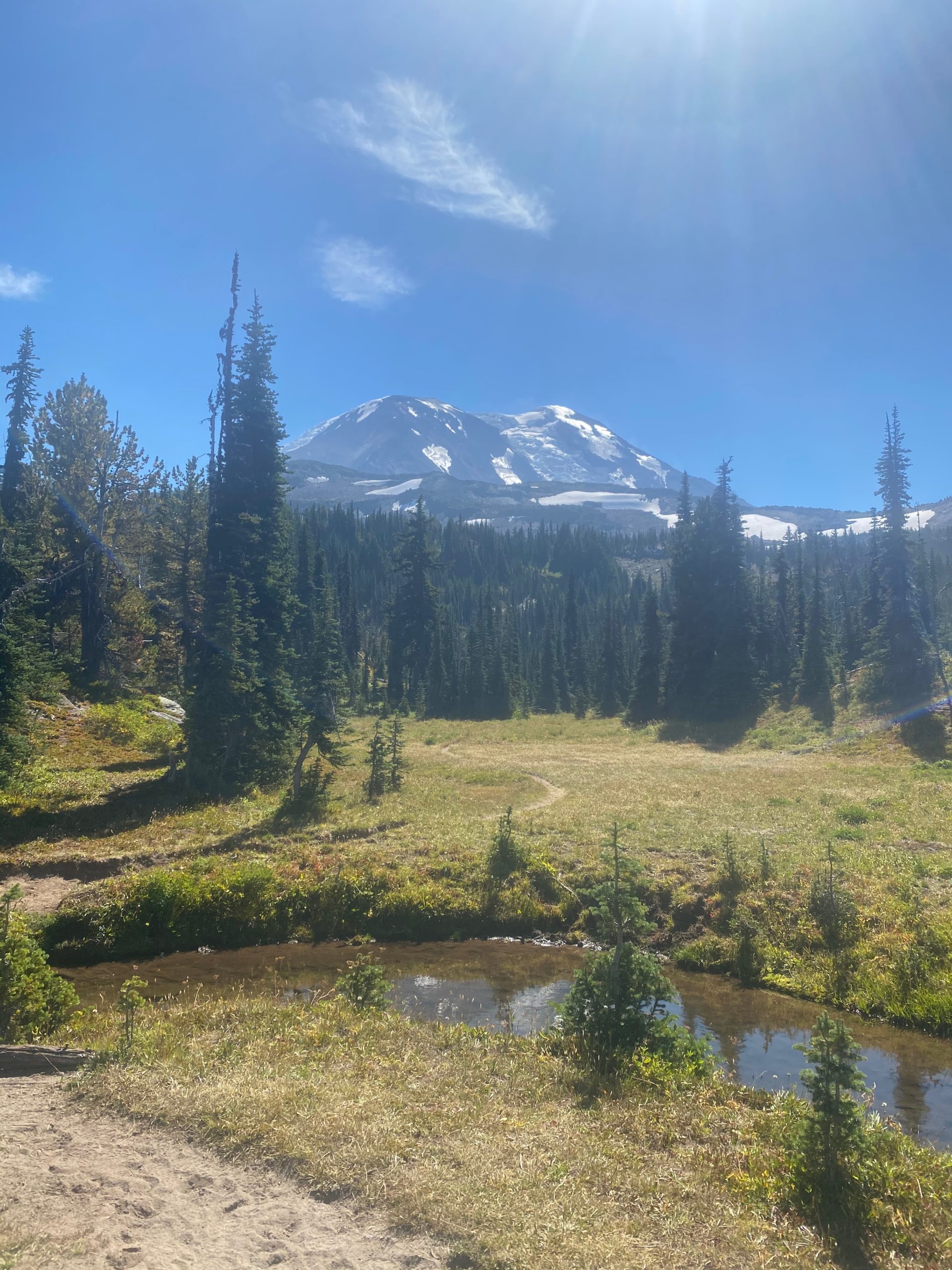
PCT 2256 to 2242. Mount Adams from Killean Creek 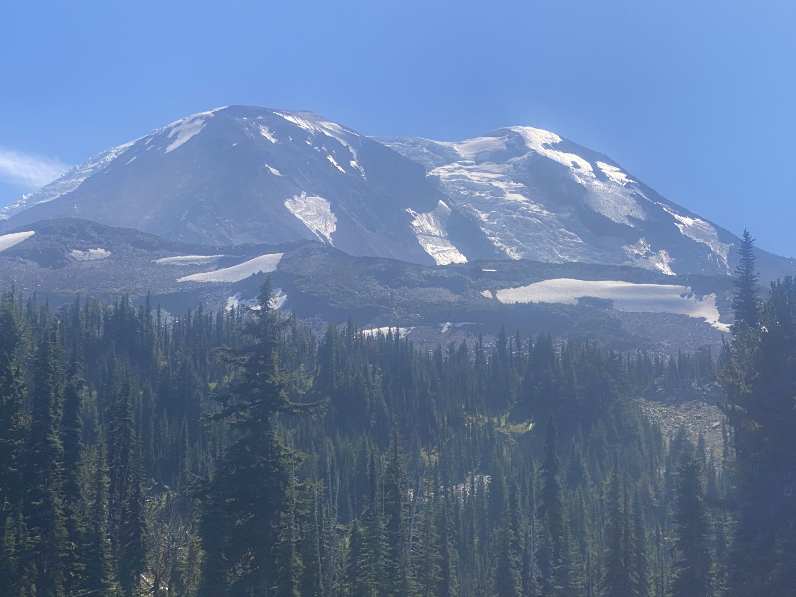
PCT 2256 to 2242. Mount Adams getting closer 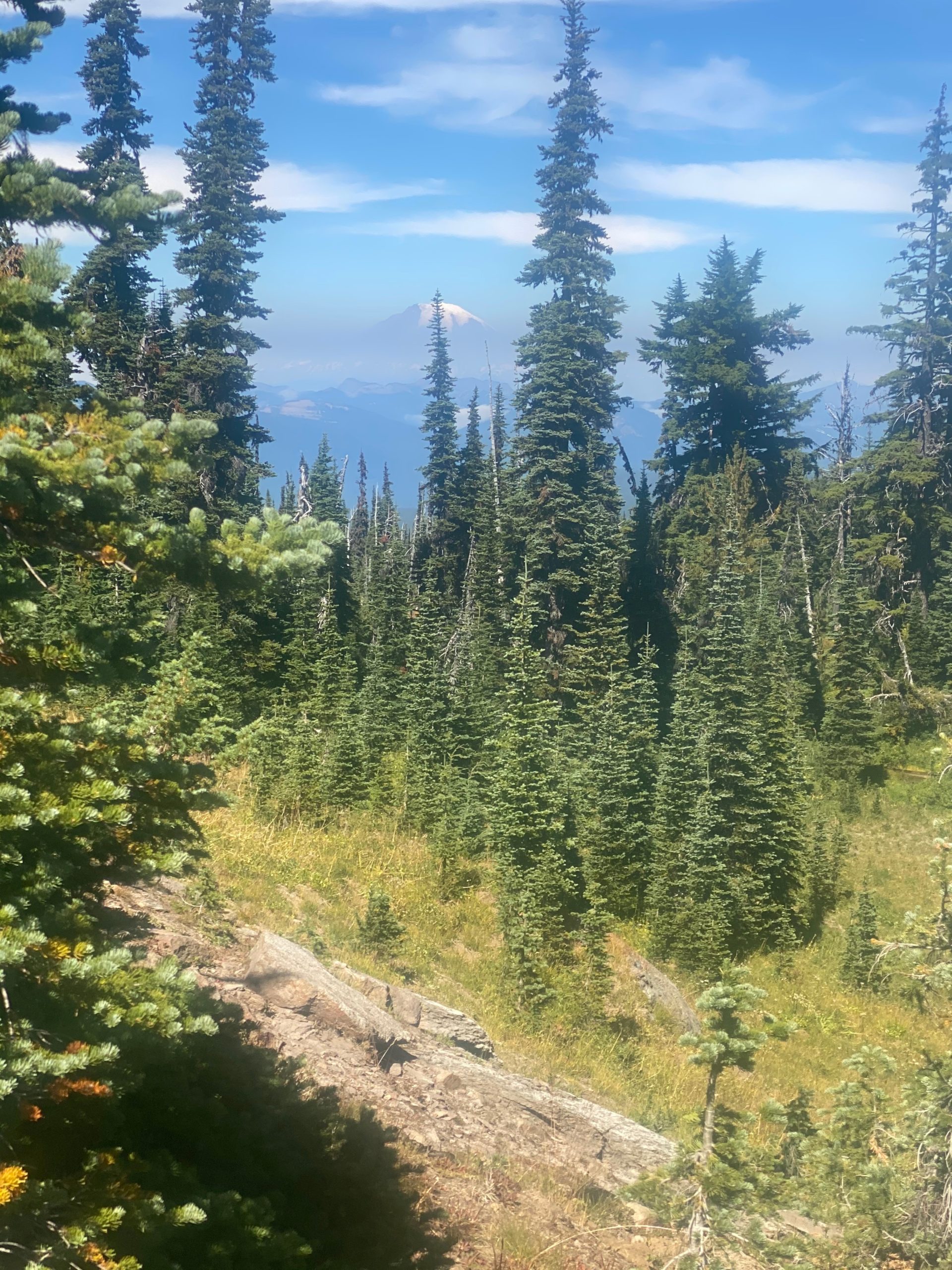
PCT 2256 to 2242. A last look at Mount Rainier
An hour later Mount Adams seems to be getting really close
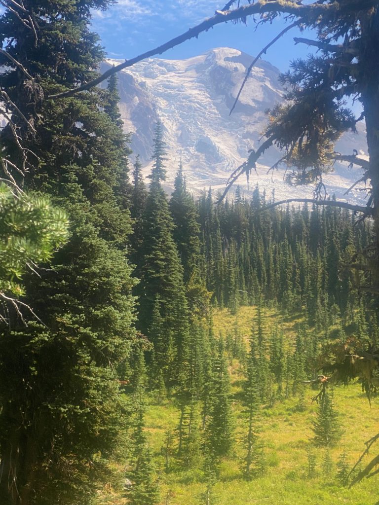
About 30 minutes later there are two rivers I need to cross by wading through them. Some people could get across Adams Creek on a thin log. I knew I would just fall in so might as well have some control. Then comes Lewis River where there are two separate tributaries coming together into one. Need to cross both. Again really the best option was to just wade across. I decided to stop for the day and set up camp after crossing the Lewis River. Nice single camp site and plenty of time to dry things off.
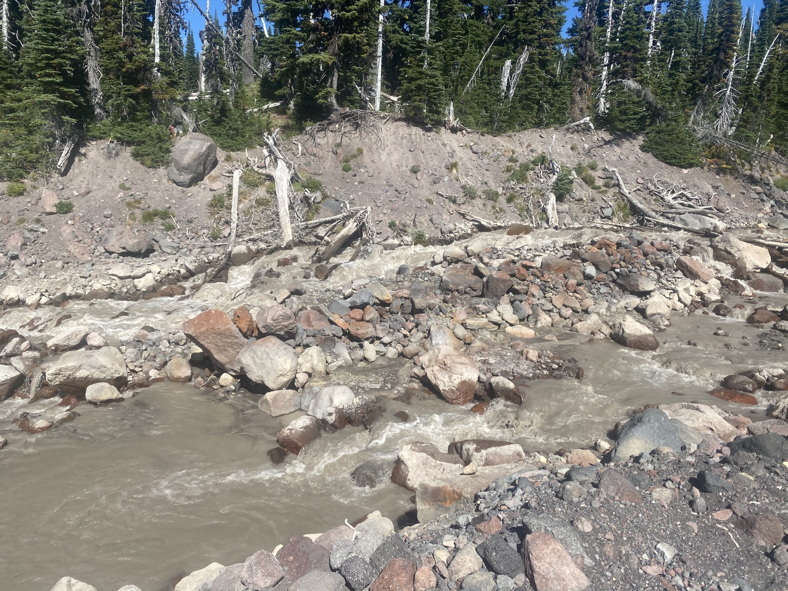
PCT 2256 to 2242. Adams Creek 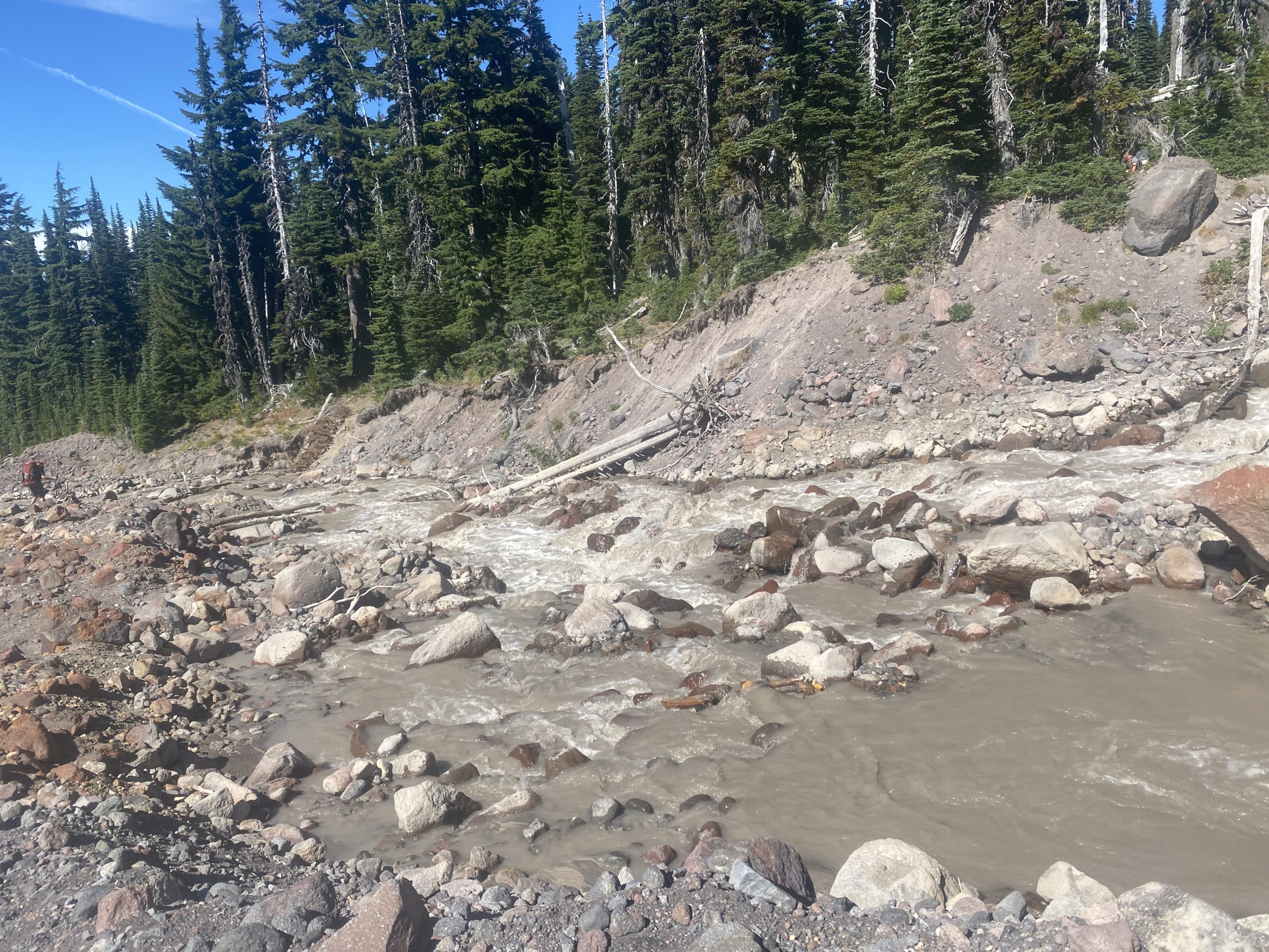
PCT 2256 to 2242. 
PCT 2256 to 2242. Mount Adams from Lewis River 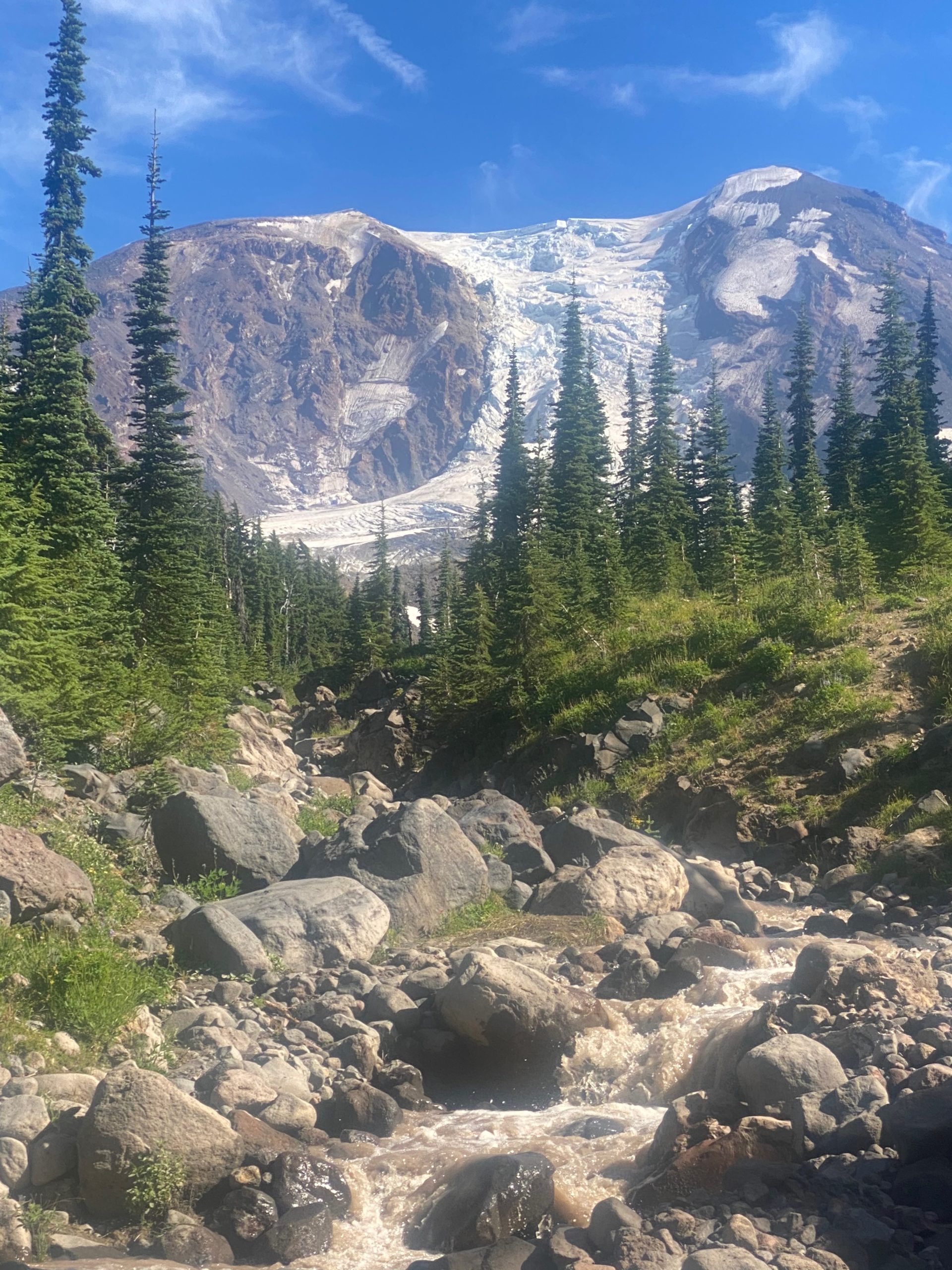
PCT 2256 to 2242. Mount Adams from Lewis Riveer 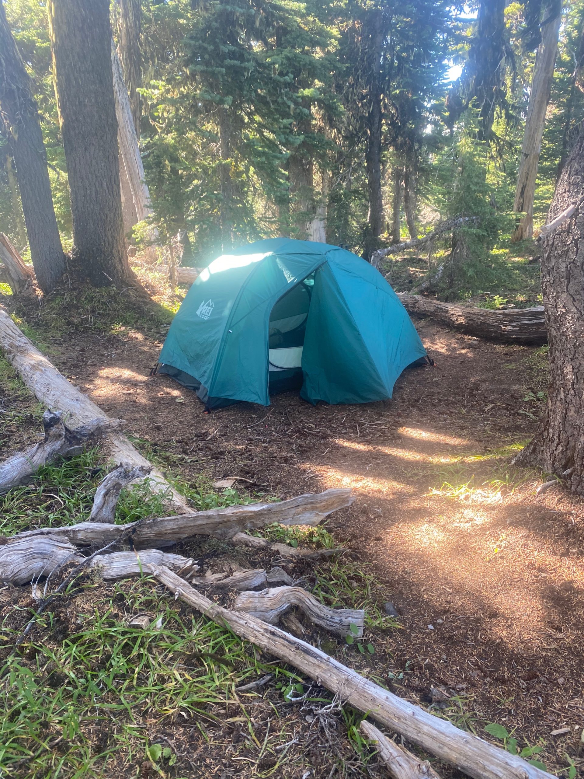
PCT 2256 to 2242. Tent site by Lewis River 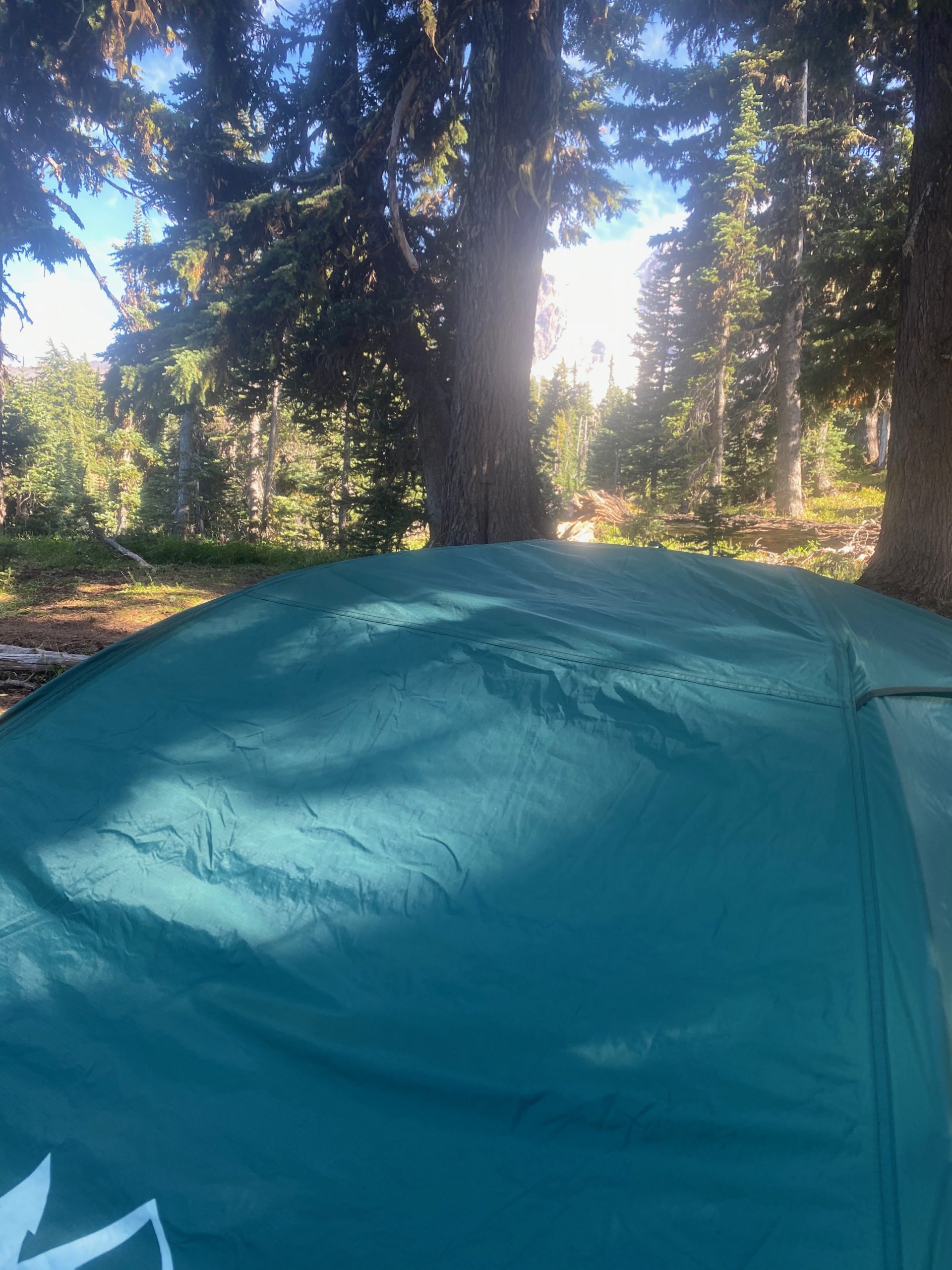
PCT 2256 to 2242. Tent site by Lewis River with Mount Adams Glacier through the trees
Notice both rivers are muddy and silty. Pretty common for glacier flow. Some locals crossed Adam Creek at the same time as me and asked where they could get water. Told them are Killian Stream. A beautiful place to stop for the night. Getting real close to Trout Lake (13 miles) which is where I will get picked up AGAIN. I have not been near as fast as I thought I would be and I’m going to need to resupply on food. My left shoulder and right hip are starting to feel better but some rest won’t hurt.
- Miles: 13.5
- Steps: 34925
- PCT Mile: 2242
- Elevation: 6096
- Location: https://w3w.co/standstill.couples.sketchbook