Category Archives: PCT2020

Aug 10, 2020 PCT Mile 2591 to 2601

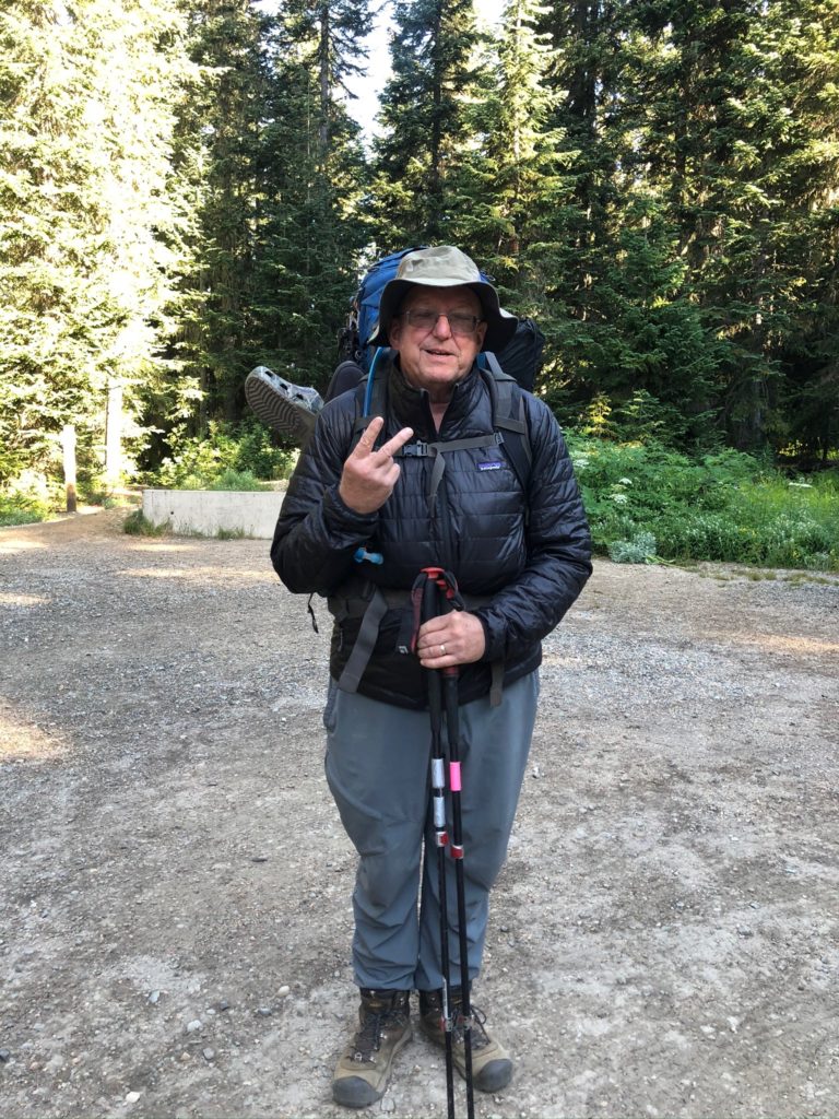
So some adjustments were made to what I am taking with me and my pack is now a manageable weight of probably 45 pounds. Only going to carry 3 days for food and then Martha and Lenora will resupply me at Harts Pass. To make that possible we are moving up north and a LOT closer to the Oroville base home. This second send off will start at Rainy Pass, which is about 2.5 hours from Oroville. Plan is to hike to Harts Pass (30 miles) and then get resupplied and go to the border and back to Harts Pass (60 miles). That’s the plan 🙂 It is colder up here as a cool front has moved in. About 45 degrees at the start of the day. So I started out with the coat on but that got removed with a couple miles.
PCT 2591 to 2601 The second send-off

So not very far up the trail I come across the waterfall shown below. Really beautiful.

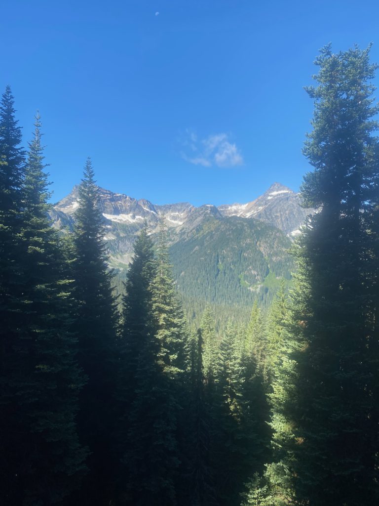
The views are spectacular and I can’t help but notice that there is snow in them there hills. Not sure if it reaches down to the trail or even if I heading towards those hills. Turns out those mountains are on the opposite side of the valley from where the PCT runs
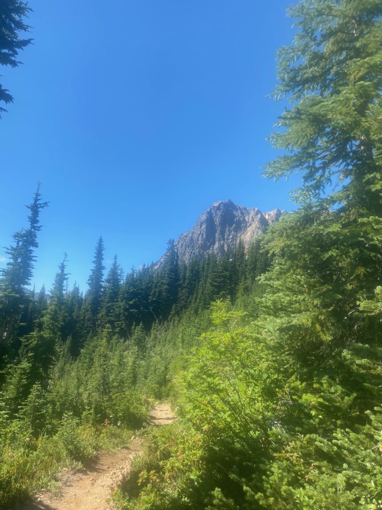
PCT 2591 to 2601 Bit of snow up there

So of course the trail starts out ascending and eventually get to Cutthroat Pass where there is a sign to let me know I am still on the trail. Pretty view of the mountains from here. Cutthroat Pass (7000 feet) is a little over 5 miles from Rainy Pass (5000 feet). Started at 9am and got to Cutthroat Pass at about 1pm.
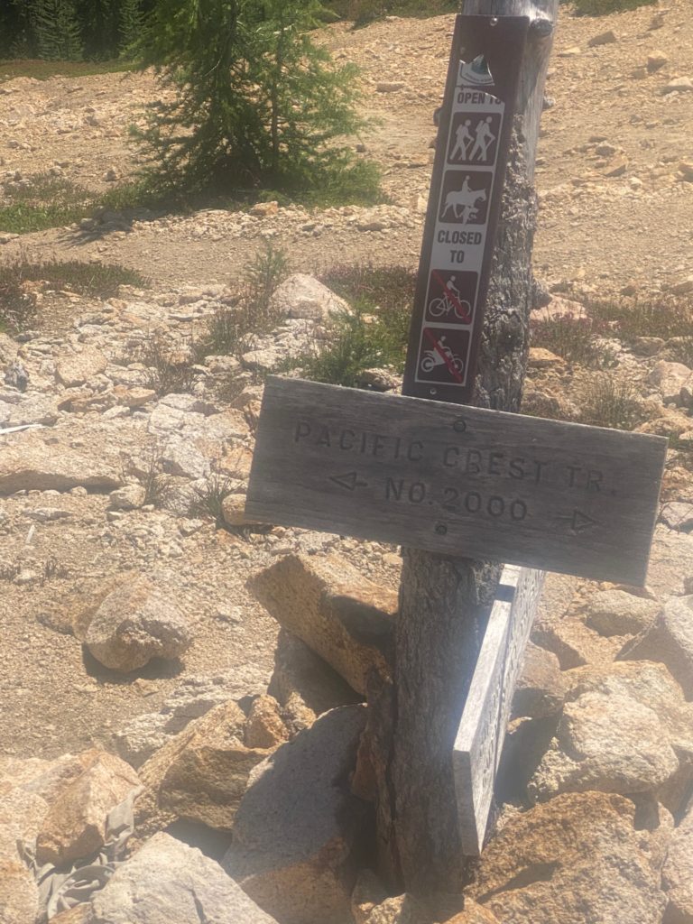
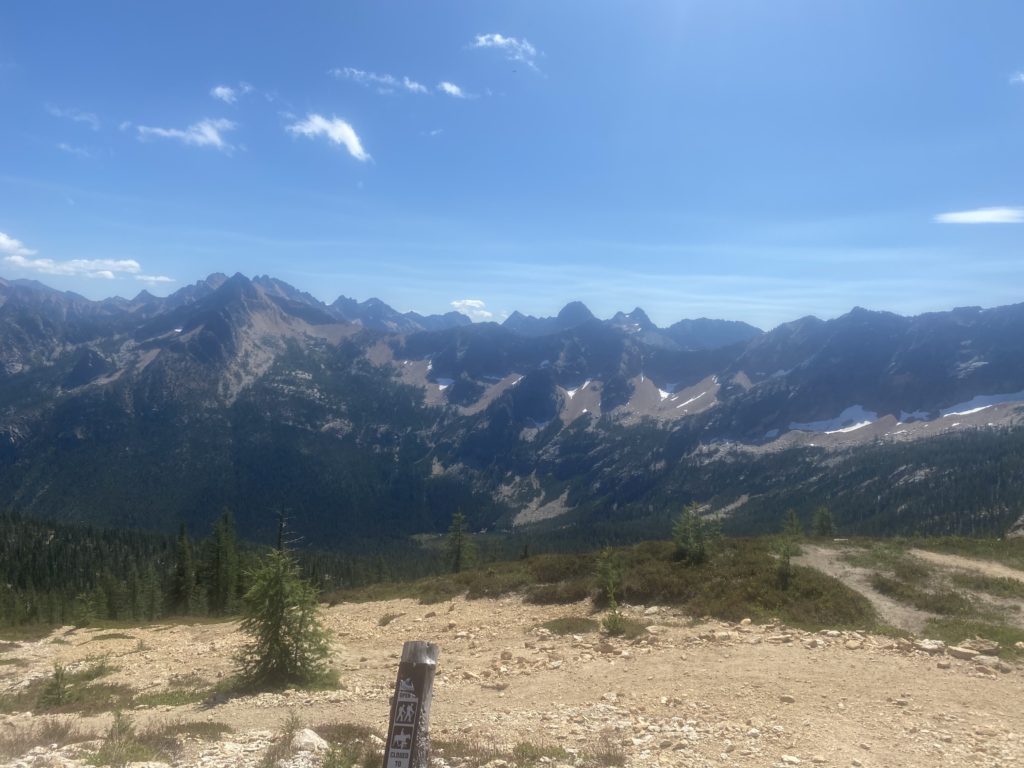
PCT 2591 to 2601 Always good to know you are on the trail
PCT 2591 to 2601 A look from Cutthroat Pass
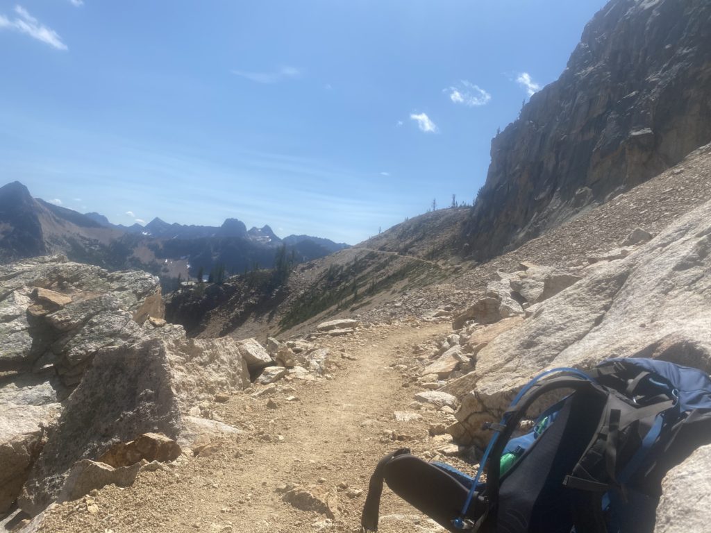
PCT 2591 to 2601 A look back from a wide part of the trail
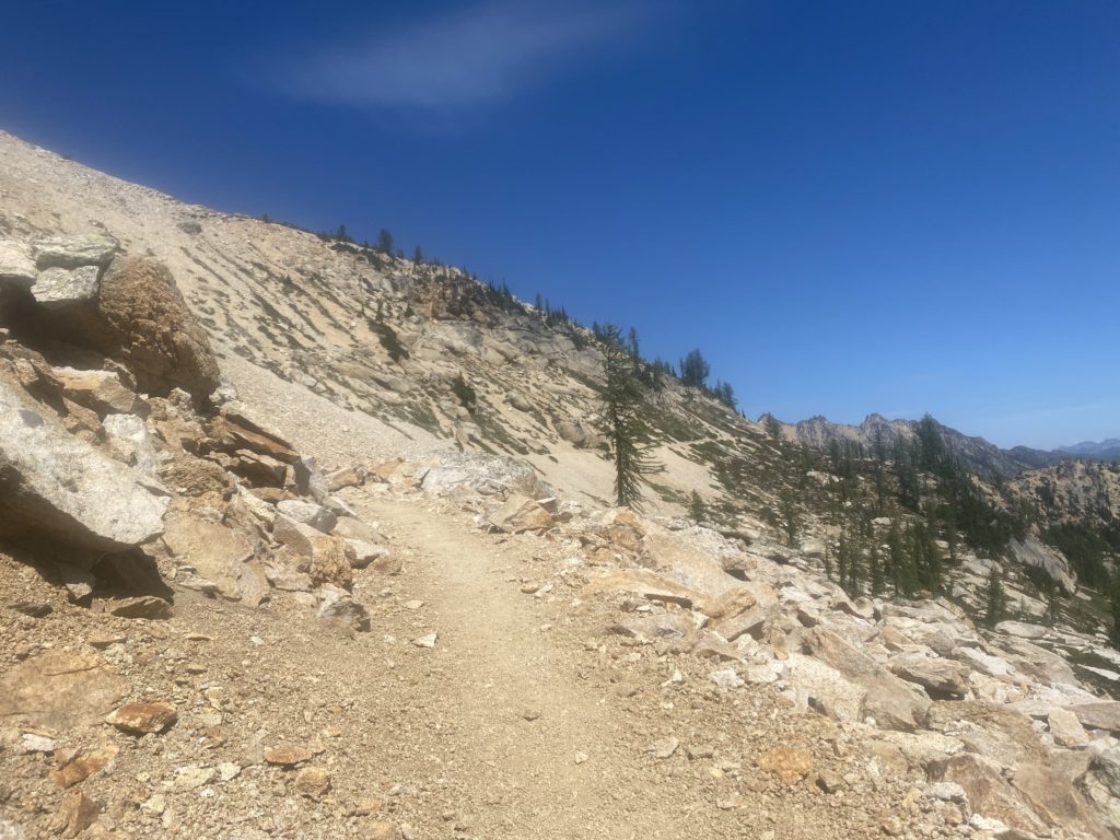
PCT 2591 to 2601 A look ahead
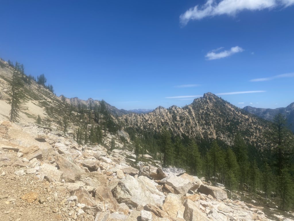
PCT 2591 to 2601 A look out

Once you get past Cutthroat Pass the trail levels out but is like walking on a ledge on the side of a building. The trail is narrow and tripping is not an option. Apparently nobody trips because if you go over the edge there is nothing to stop you from basically falling down a mountain. When the trail is hard dirt or rock there is really no worry. However when the trail becomes loose and pebbles, is narrow, and is slanted to side toward sure death it is a different matter. I’ve always thought the books I read about the PCT overplayed the dangers of the trail because until now I have never felt threatened on the trail. However these narrow loose pebbled ledges did give me some concern. I have no idea how this could be traversed in snow or even in rain. Obviously it is done by thousands of hikers each year.

All the people I’m seeing are local hikers and all of them wear a mask to pass me. Just so strange. I’m not wearing a mask. I have one just in case there is some issue but I don’t wear it when just passing someone on the trail.

After going level for awhile on ledge you start going straight down via a series of switchbacks to Granite Pass at about 6200 feet. Then you go level again on a ledge until the ascent starts to Methow Pass. I stop for the day just before that ascend at a beautiful spot with a creek right beside my tent. Below are some views from my camping site. Spectacular! It was windy here and was the first time I actually had to stake down the tent. I stopped around 4:30 and was glad I did as 30 minutes later and the place was filled with local hikers. Some even had to keep going to the next camping site. Because the trail is basically on a ledge most of the time, there are limited places where you can camp.
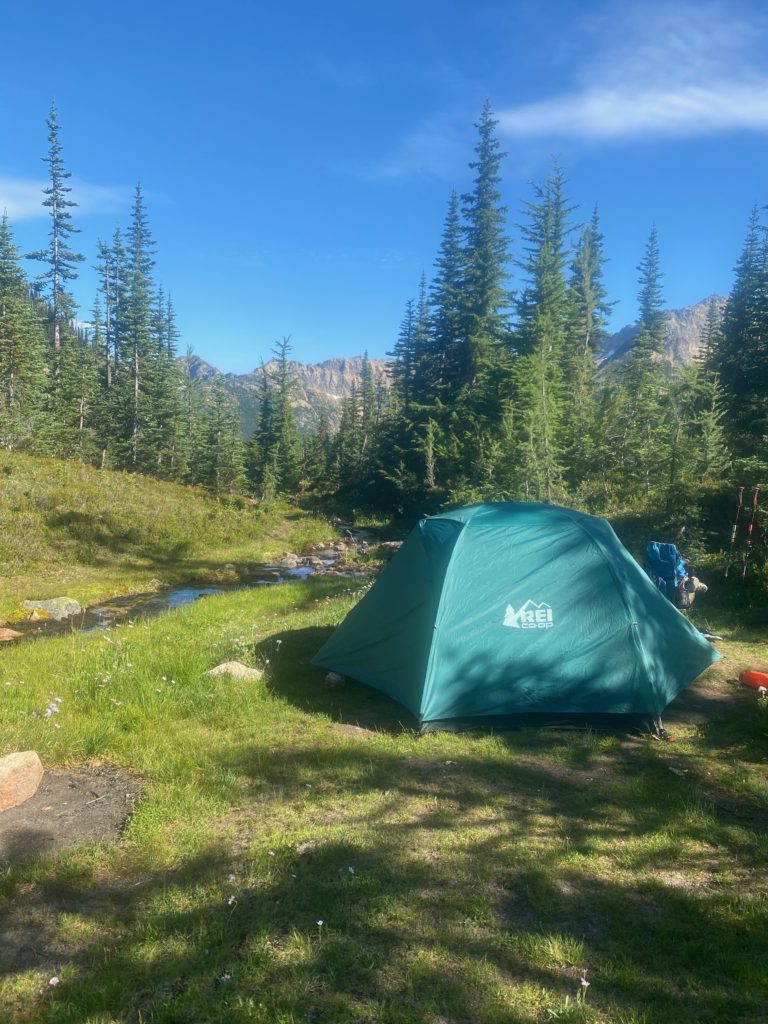
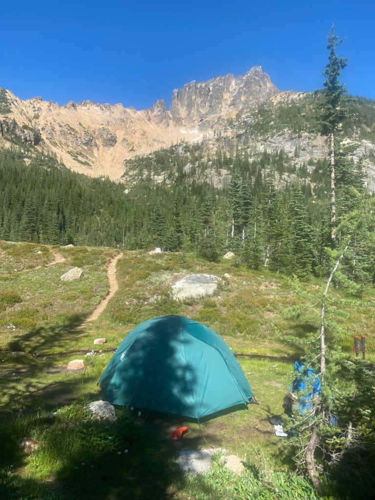
PCT 2591 to 2601 Tent site by stream
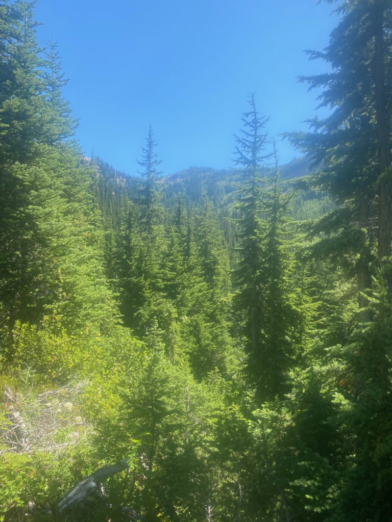
PCT 2591 to 2601 Looking out from tent site. Beautiful mountains

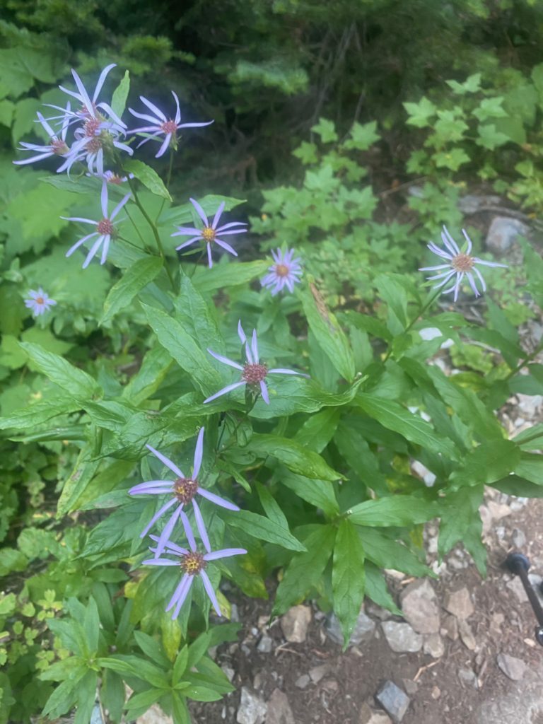
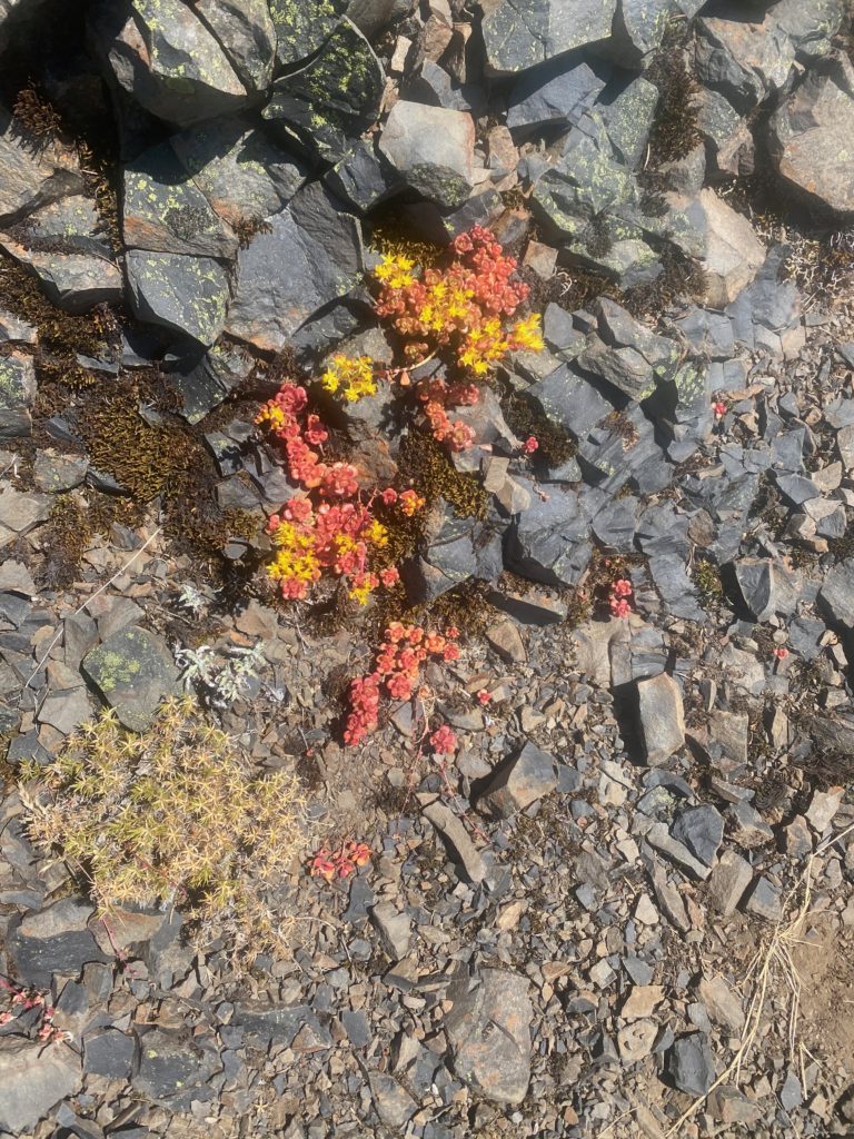
PCT 2591 to 2601 Smooth Blue Aster

Aug 5, 2020 PCT Mile 2165 to 2177

So today is another up a hill and down a hill day which I suppose is just how it goes in Washington. Washington has 111,000 feet of elevation gain, and 107,450 feet of elevation loss.  Today I will start out a 1890 feet and end up at Trout Creek 1197 feet and in between those spots are two peaks at about 3200 feet.

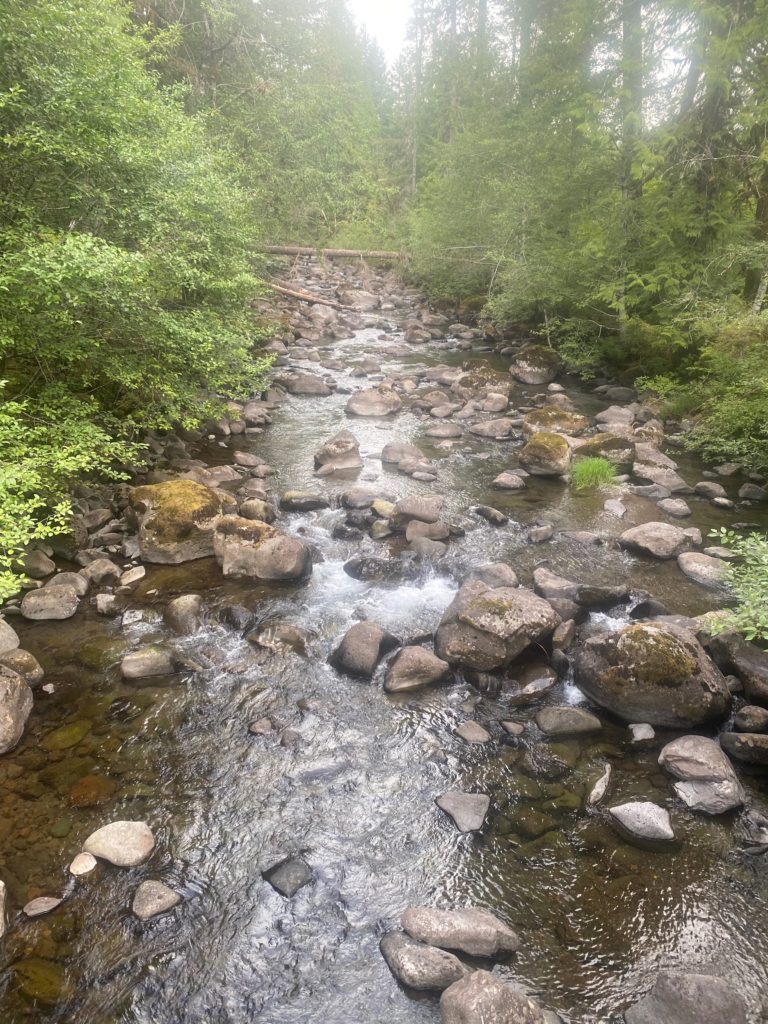
Start hiking about 7 and after 2 hours and 2 miles I reach Rock Creek. I decide I need to eat something and so sit down to fix up some oatmeal which tastes pretty ok. First meal I have had as I am having my typical issues with eating. I just get so tired that the thought of food just makes me nauseous. This is where I actually meet ASH’s walking partner PIERRE as he was still in the sleeping bag but got up while I was fixing breakfast. He told me he saw me setting up camp last night but didn’t say anything and came ahead to Rock Creek. He was surprised not to find ASH at Rock Creek but ASH was probably at least 3 hours ahead of him. Anyway Rock Creek is a beautiful spot with deep pools of water. Would have been a good swimming hole had I been so inclined. Just beyond Rock Creek I took the picture below that shows the trail is a bit overgrown in this area. It will actually get much more so and causes a slow down as you have to make sure you are not stepping on a rock the wrong way.

PCT 2165 to 2177 Beautiful trail. A tad overgrown

So I wanted to get to Trout Creek today but as it turns out I need to get to Trout Creek as that is the next available water and tent space. There is far less water on the PCT in Washington than I expected. The little stream shown below is about 30 minutes out from Rock Creek and that is it.

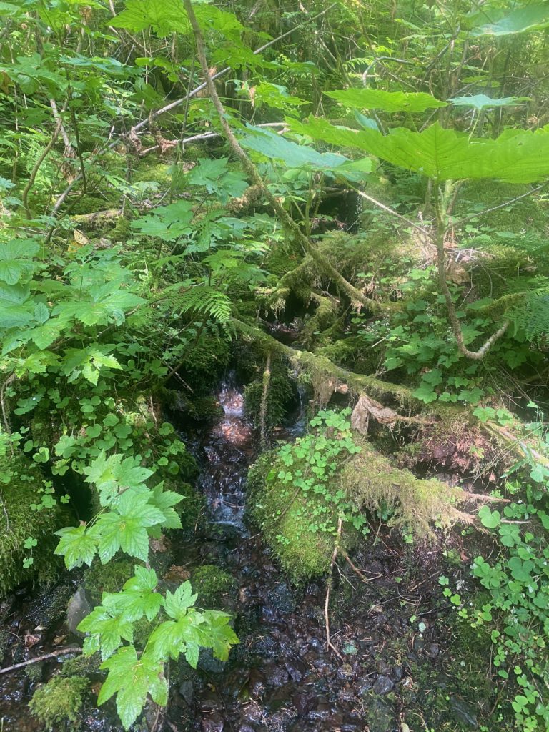
PCT 2165 to 2177 Small water source

I’ve past by a lot of the rocks shown below and finally decided to take a picture. They are thickly covered in Pincushion moss. It is like having a padded chair to sit on one.

PCT 2165 to 2177 All the rocks covered in Pincushion moss around these parts

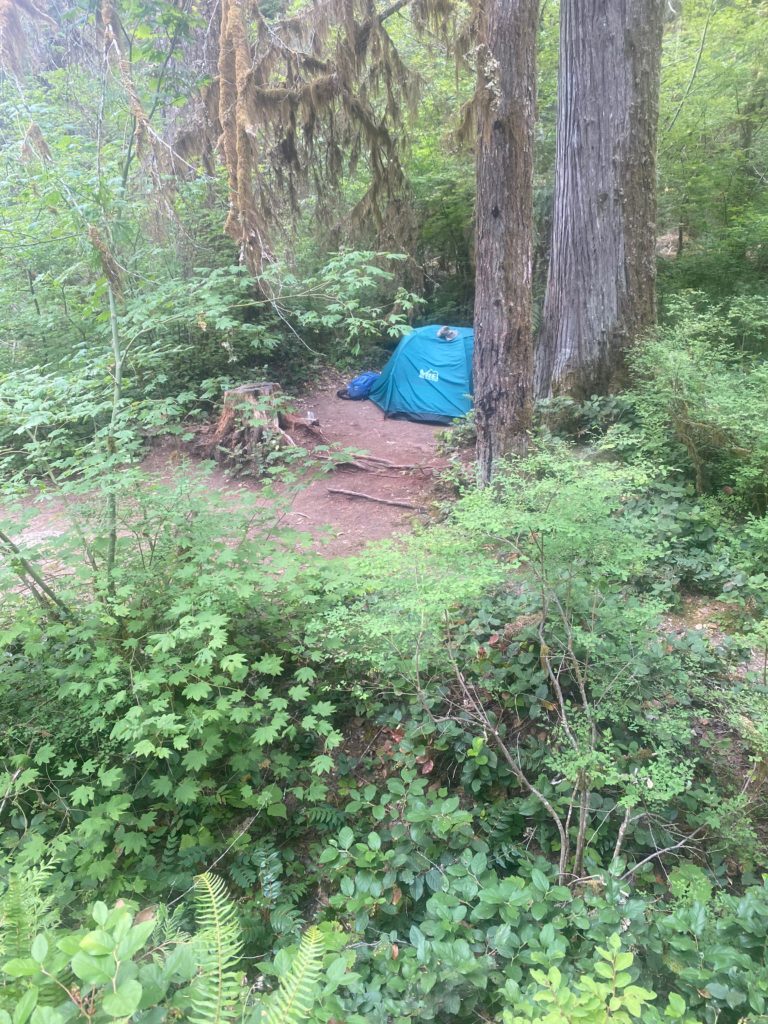
At around 6pm I get to Trout Creek which is another beautiful spot and right near a paved road. There are only 5 tent spots here and I was worried I would get there and they would all be taken. But when I arrived there was no one else around and so I picked the prime spot and set my pack down. Literally 5 minutes later another camper arrives. He was on his 20th mile for the day. His name was YODA. I asked him how he got his name and he indicated that on his first day of hiking he realized he needed some more water and so backtracked to a water supply to load up. The person he was walking with said “That was a wise thing to do, I will call you YODA”. That is how you get trail names, someone else gives them to you.

So every part of me hurts. Toes are bruised and already turning black. My hip is on fire. My lower back hurts. I need to do something about this 60 pound pack. So Martha and Lenora decide they can come and get me the next day. I am off the trail for awhile. My trail name should be 3DayDon as that is about all I’m good for.

Aug 4, 2020 PCT Mile 2153 to 2165

So last night was a little rough. I could not sleep at first and my shoulders were just aching. I am attempting to carry a 60 pound pack with 14 days worth of food. After taking some Aleve, I did get some good sleep.

I’m starting the day at 800 feet, ascending to about 3500 feet, and then descending to about 1800 feet. I am just so very very slow both on the ups and the downs. Doing less than 1 mile per hour and the downhill really got my right hip screaming at me. Shoulders continue to hurt.

I started the day at 6:40 and by 12:40 I reached the high point of the day at about 3500 feet and PCT mile 2159.5. So about 6 miles in 6 hours. Then I head down to 1890 feet elevation at PCT mile 2164.8 and get there at about 6:50pm. So about 5 miles in 6 hours!! The result of my hip hurting and having to stop so often on the descent.

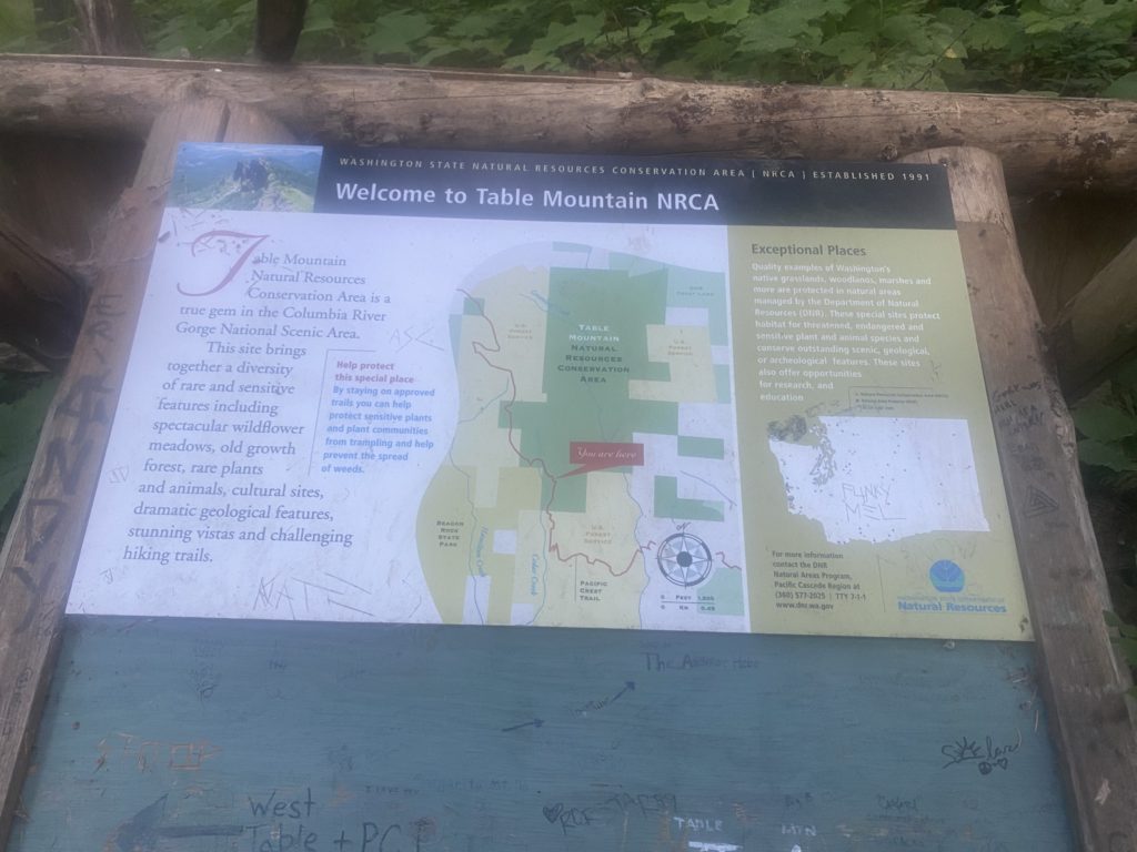
The trail goes past Table Mountain and there are signs for a side trail to go to the top. I have no idea why anyone would want to do that! There are all sorts of messages scrawled on the sign indicating that the hike to Table Mountain in brutal and don’t even attempt it with a full pack.

PCT 2153 to 2165 Just some Table Mountain info

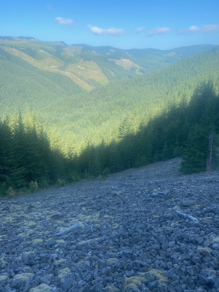
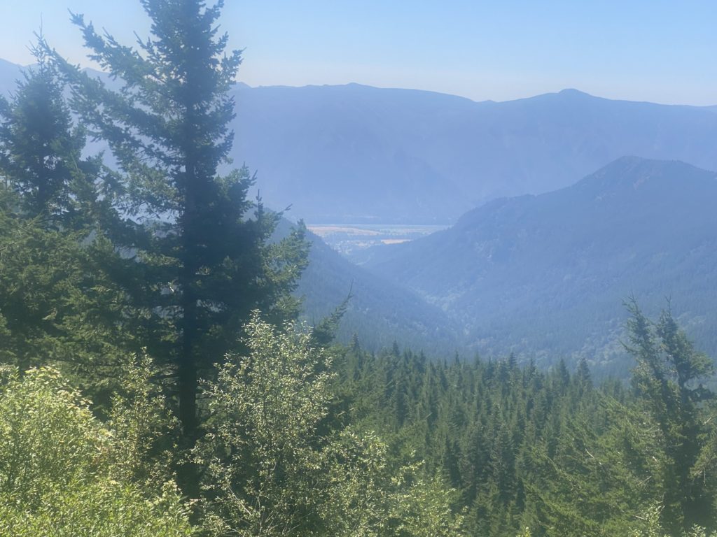
The trail is rocky at this point and even goes though a lava field or two but there are beautiful views including looking down to the Columbia River Gorge.

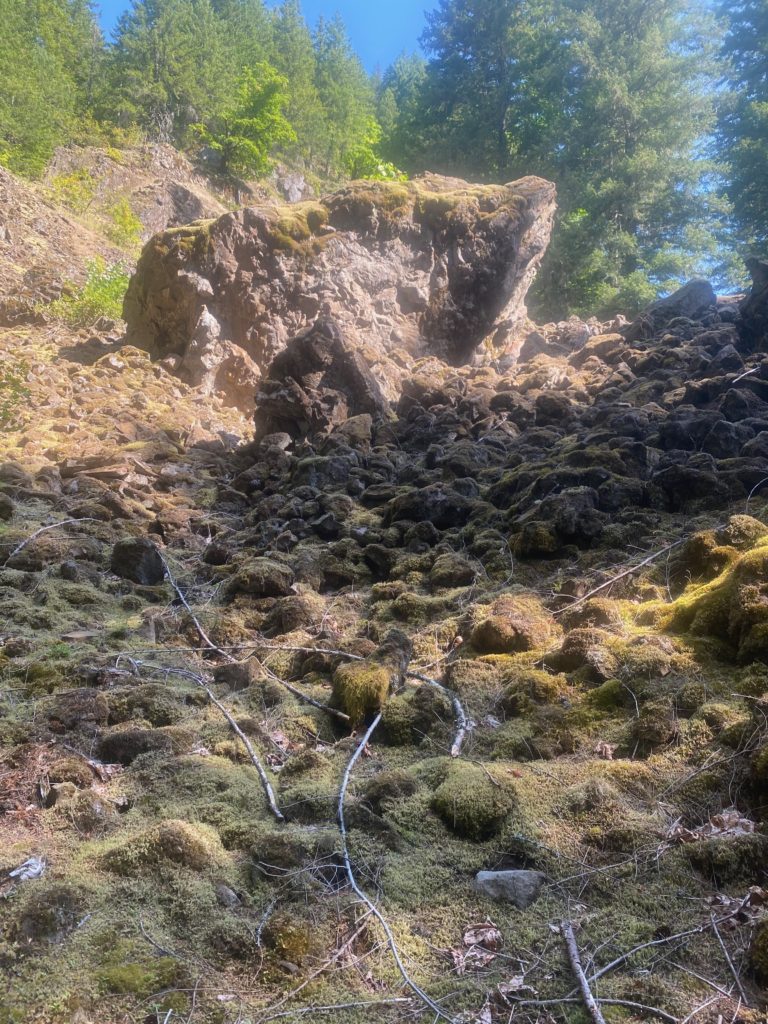
PCT 2153 to 2165 Yea… lava fields
PCT 2153 to 2165 View of Columbian George
PCT 2153 to 2165 Just pretty I guess

So I end up stopping 2 miles short of my goal but at a little creek that has a very slight trickle of water. There has not been any water on the trail for 11 miles and I always try to camp by a water source. This will have to do. A trick I learned on the PCT to gather water is to find a large slender leaf and place the leaf at a spot where the water is trickling over rock in the creek. The leaf will gather the water at the top and flow off the leaf at the bottom creating a little stream that you can put a cup under and gather. Should have taken a picture….

Saw/met 5 other hikers today. One was heading back to Bridge of the Gods because his feet gave out. One started at White Pass and was heading south and told me there was very little snow ahead. Again with the very little. A couple that just blew by me and didn’t say anything. And a PCT hiker named ASH who was headed for Canada to complete this through hike. The next day I would meet ASH’s walking partner PIERRE (I did not ask either hiker how they got their name) and PIERRE told me they went through waist high snow in the Sierras this year. I’m just not sure how that is possible but people do it. So very fortunate that my hike through the Sierras in 2015 involved no snow.

This is not really a camping site but I did find an area that was relatively level. The slight slope was enough to cause problems sleeping, I did have to push myself up a couple times during the night. More Aleve.

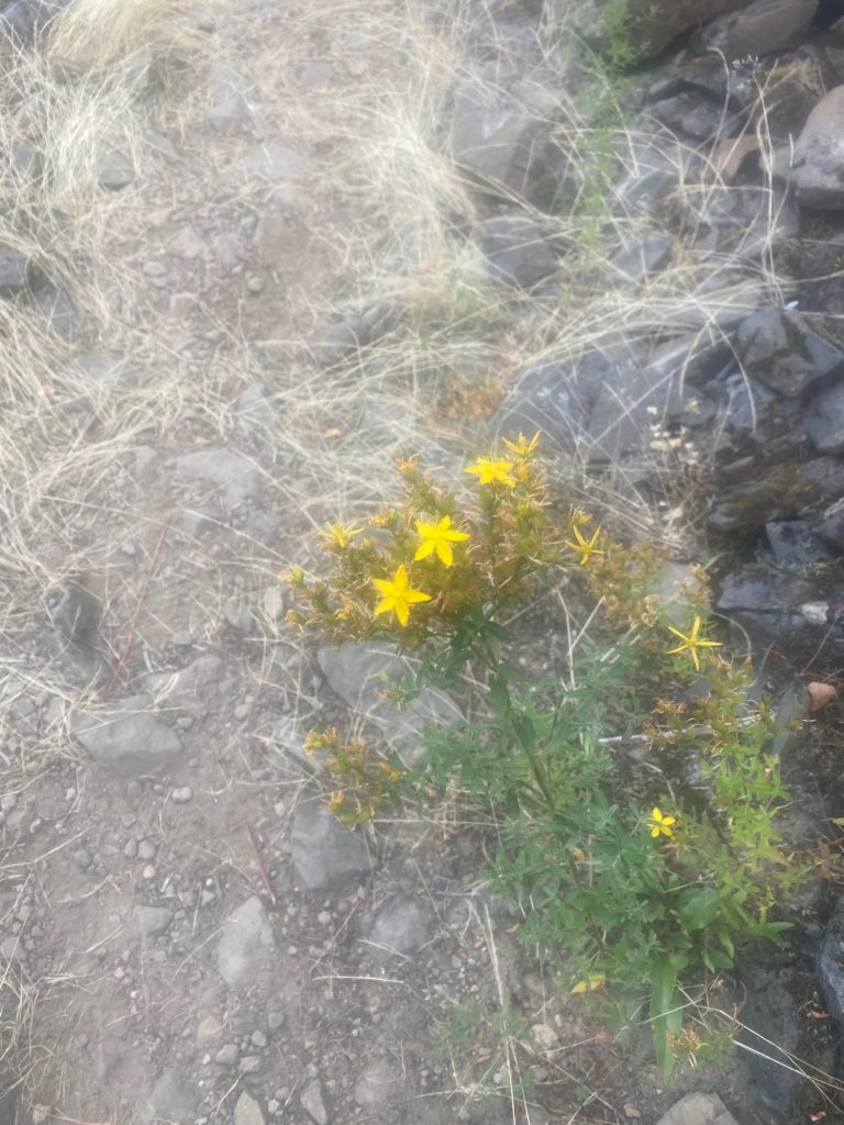
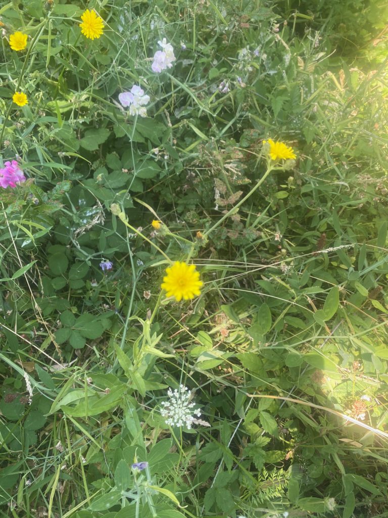
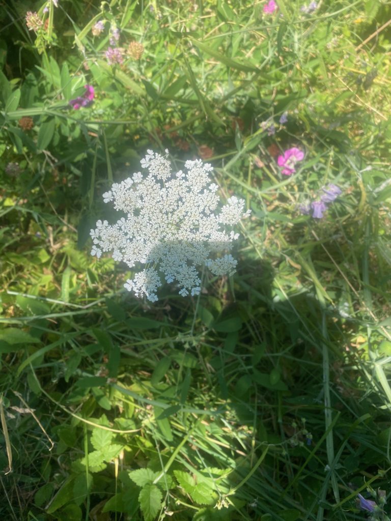
Some wild flowers seen along the way.

Aug 3, 2020 PCT Mile 2147 to 2153

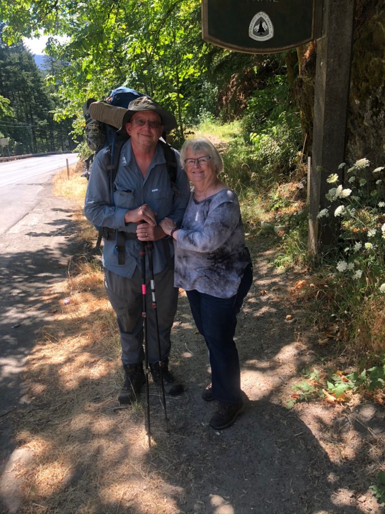
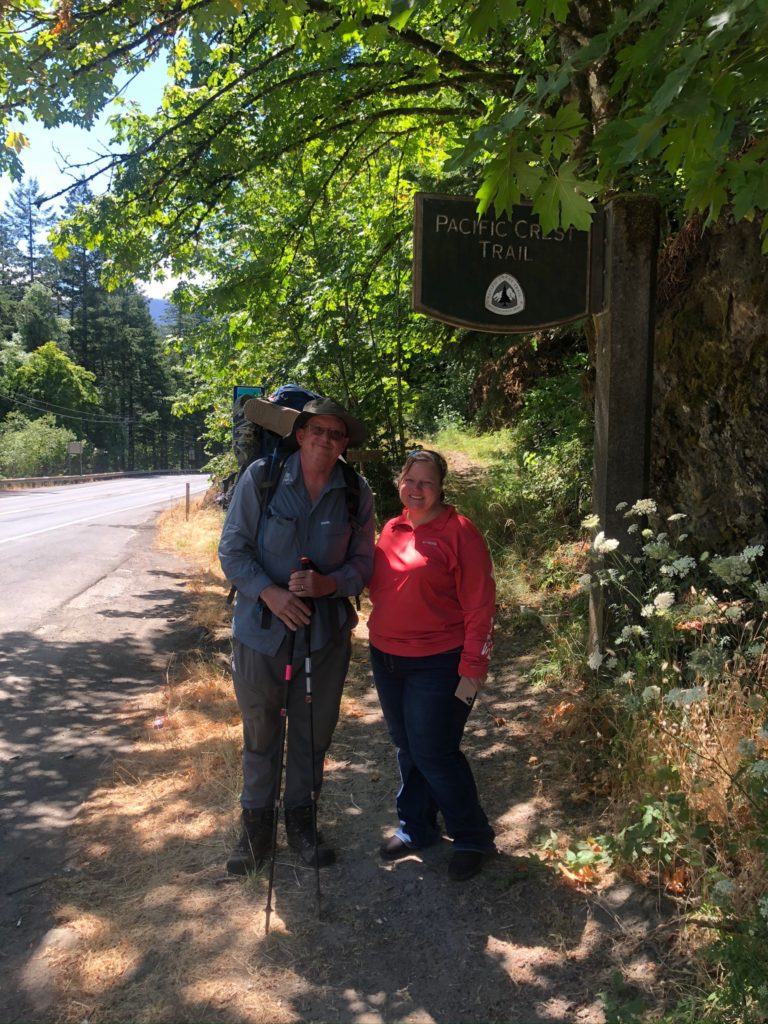
So here we are starting out on the 2020 hike. We had to drive about 7 hours from Oroville to Bridge of the Gods to get this thing started. It was not with a little trepidation that I begin the journey. Have no idea what type of hiker I will be.

PCT 2147-2153 Bridge of the Gods

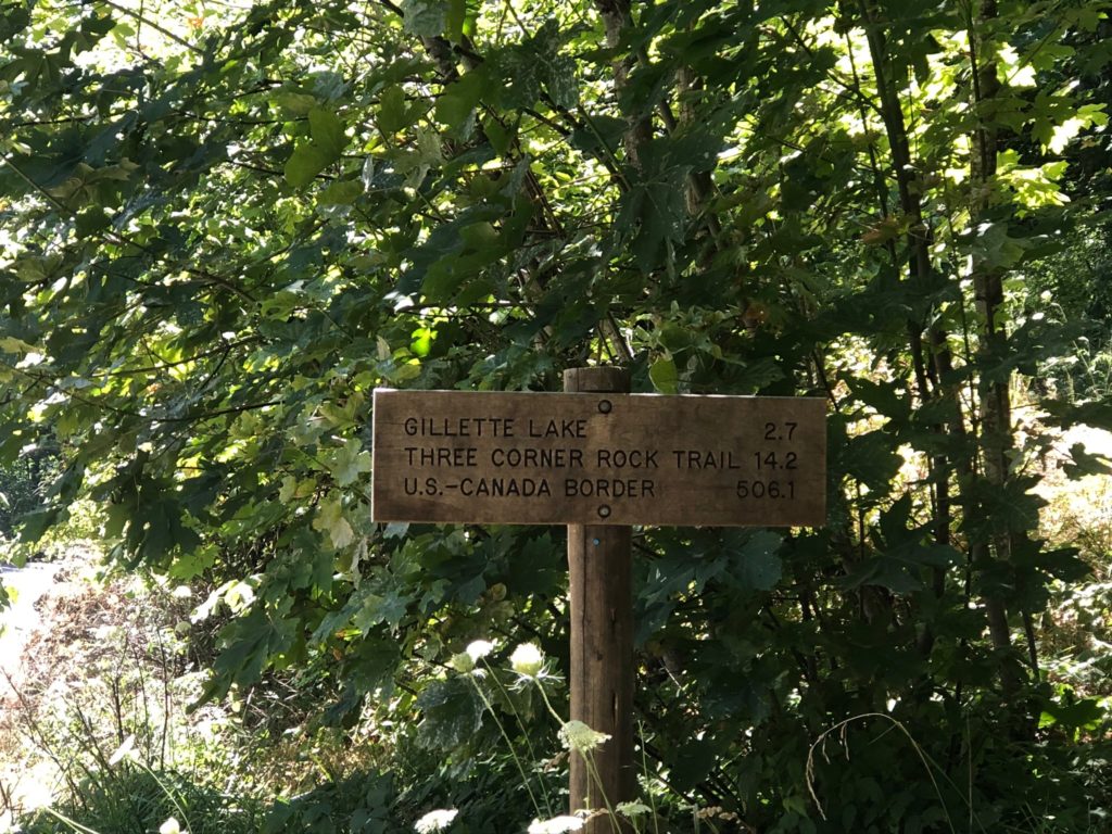
Sign at the start of let me know just how far away Canada is. 500 miles. How hard can it be.

PCT 2147-2153 Canada 506 miles away

This part of the trail goes through the Columbia River Gorge National Scenic Area which is the largest national scenic area in the United States. As we were driving to Bridge of the Gods along Hwy 84 which parallels the Columbia River we were amazed at the beauty. More information here: http://www.columbiarivergorge.info .

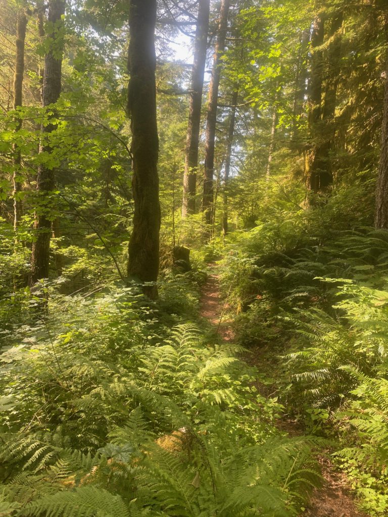
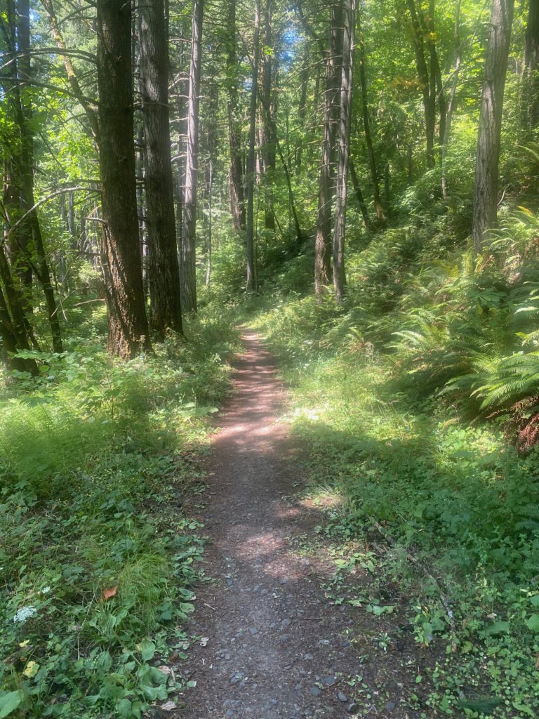
The picture below is pretty much how I remember Washington. Nice soft forest floor trail. As you can probably imagine not all of the PCT in Washington is this way. In fact, Washington will get downright rugged later.

PCT 2147-2153 Like the looks of this trail. But this nice look was just a setup

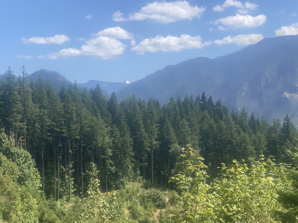
The trail did get a lot rockier as I went along but the scenery was beautiful. I took this picture because of the very tip of a snowy peak in the distance. Not sure what peak it is but pretty sure it is over yonder in Oregon.

PCT 2147-2153 Snow peak way in the distance

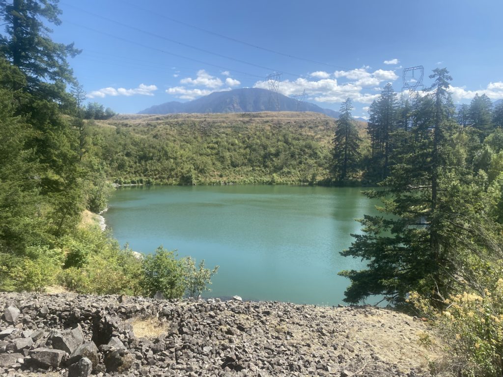
The picture below is of Lake Gillette and is about 3 miles into the hike. It is very popular place for the locals to hike as I passed many hikers coming back for there and many hikers passed me going to there. All the hikers were young and they all put on masks to pass me on the trail.

PCT 2147-2153 Lake Gillette. Popular hiking spot for locals

I met a south bound PCT hiker whose plan was to a complete hike. He said he was very tired of Washington and could not wait to get to Bridge of the Gods and get a hot shower and a good burger. He indicated he was use to hiking the Appalachian Trail and it was always a big deal to get into a new state. On the PCT he will only get that experience 2 times. I asked him about snow on the PCT up north and he said there was very little. Now if only his very little is the same as my very little!!

So I set up camp after about 6 miles of hiking. I text Lenora and Martha on the InReach and immediately wish we would have tested it before we started to just to make sure everything was right. But after a little while I received a reply and was relieved that everything worked.

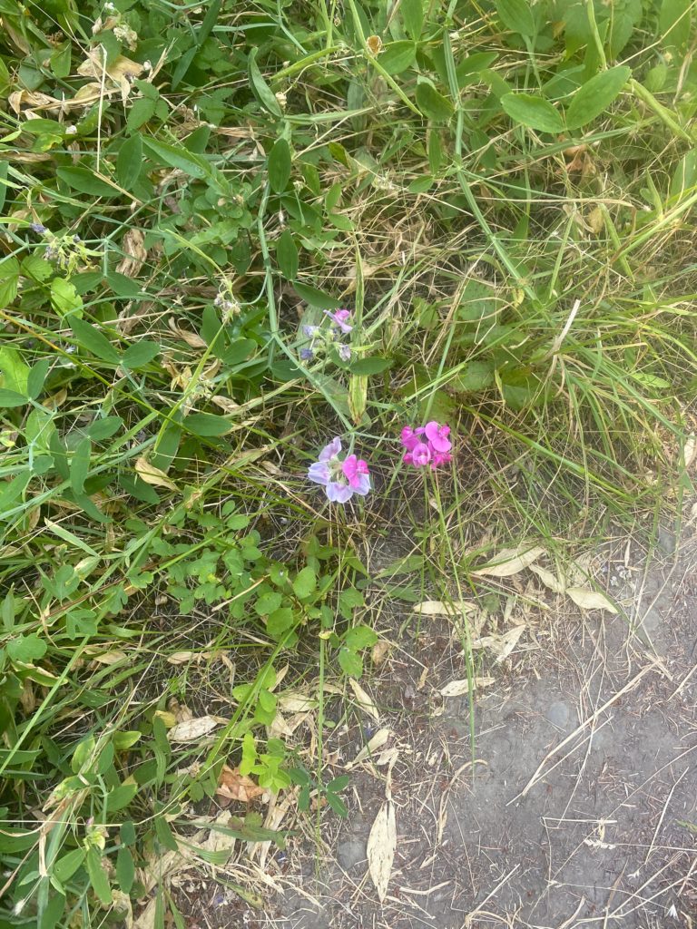
Some of the wildflowers seen along the way