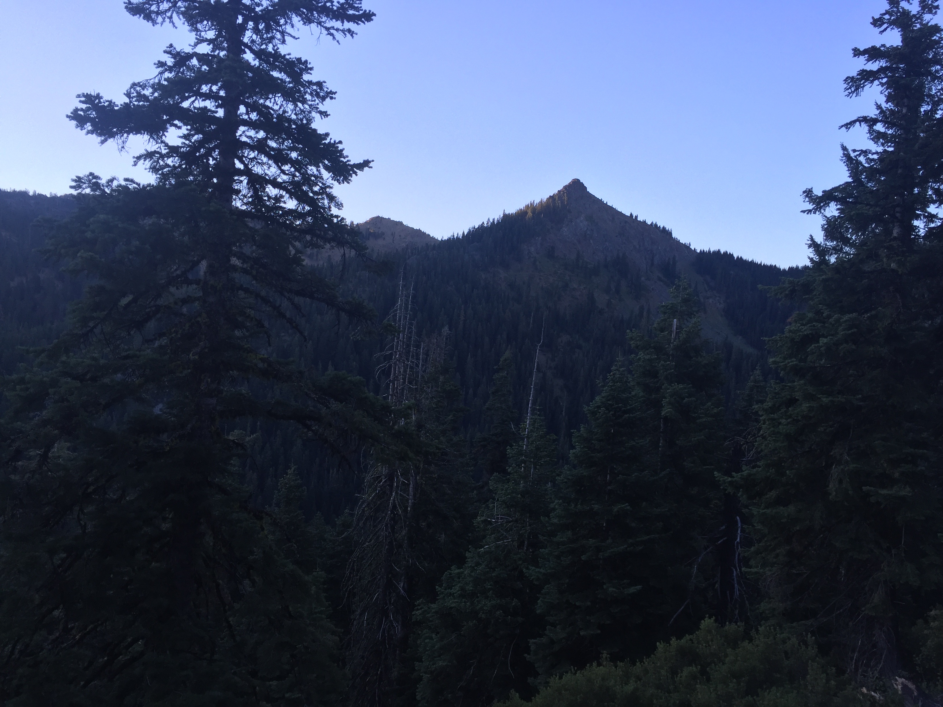
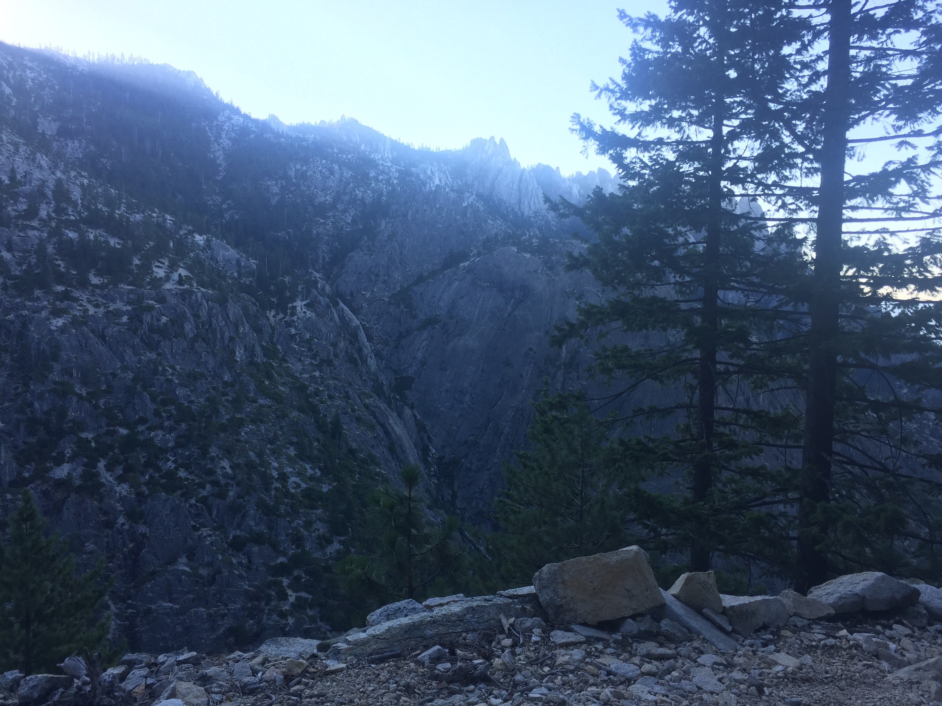
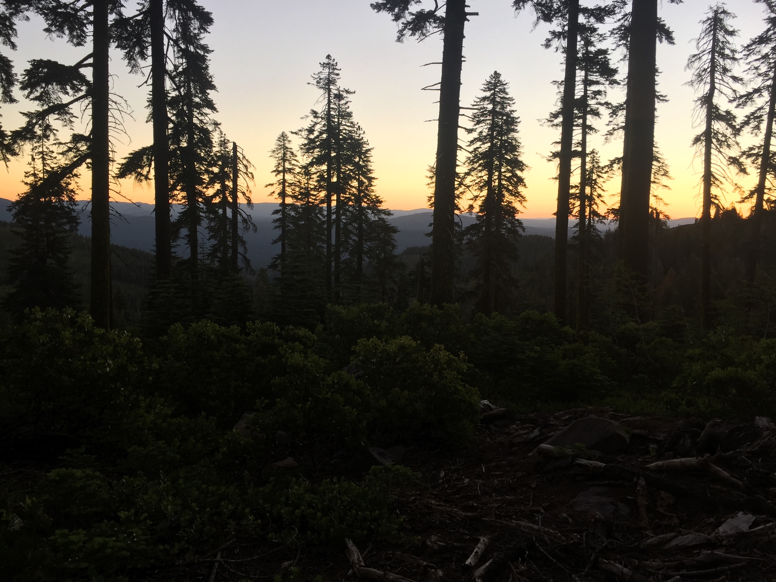
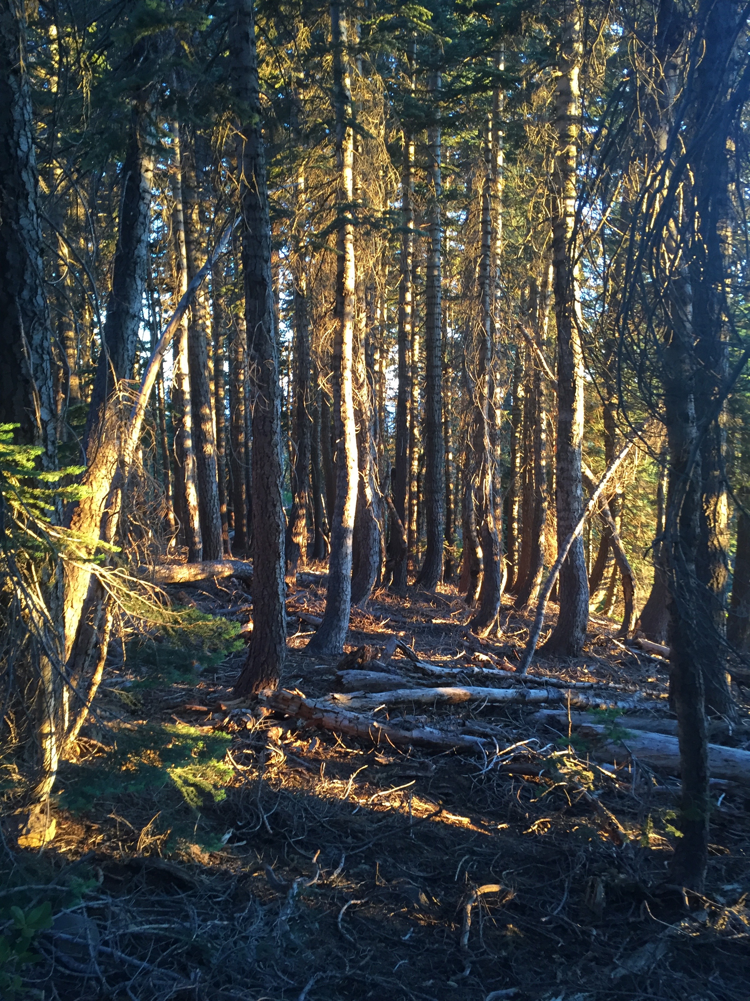
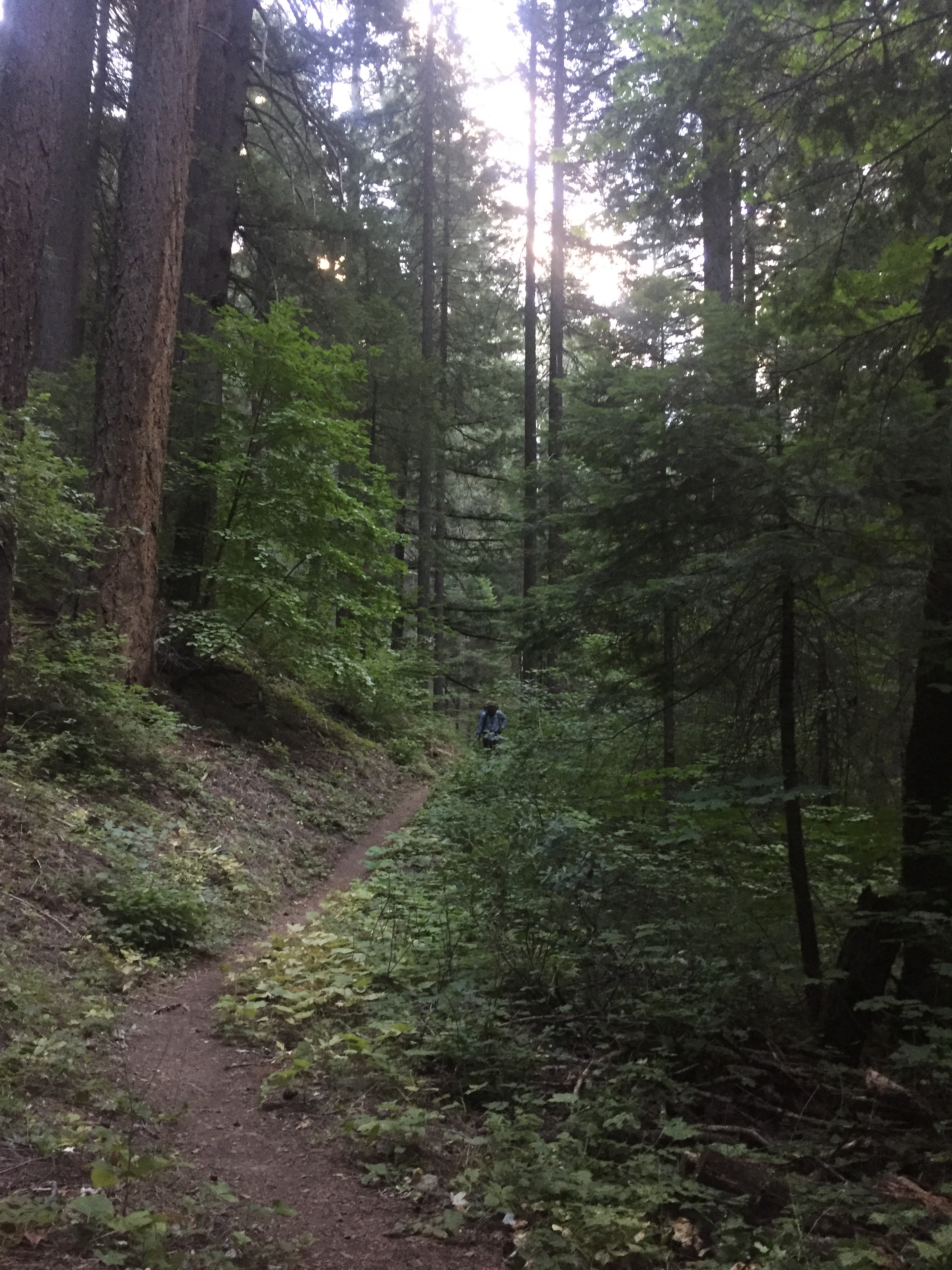
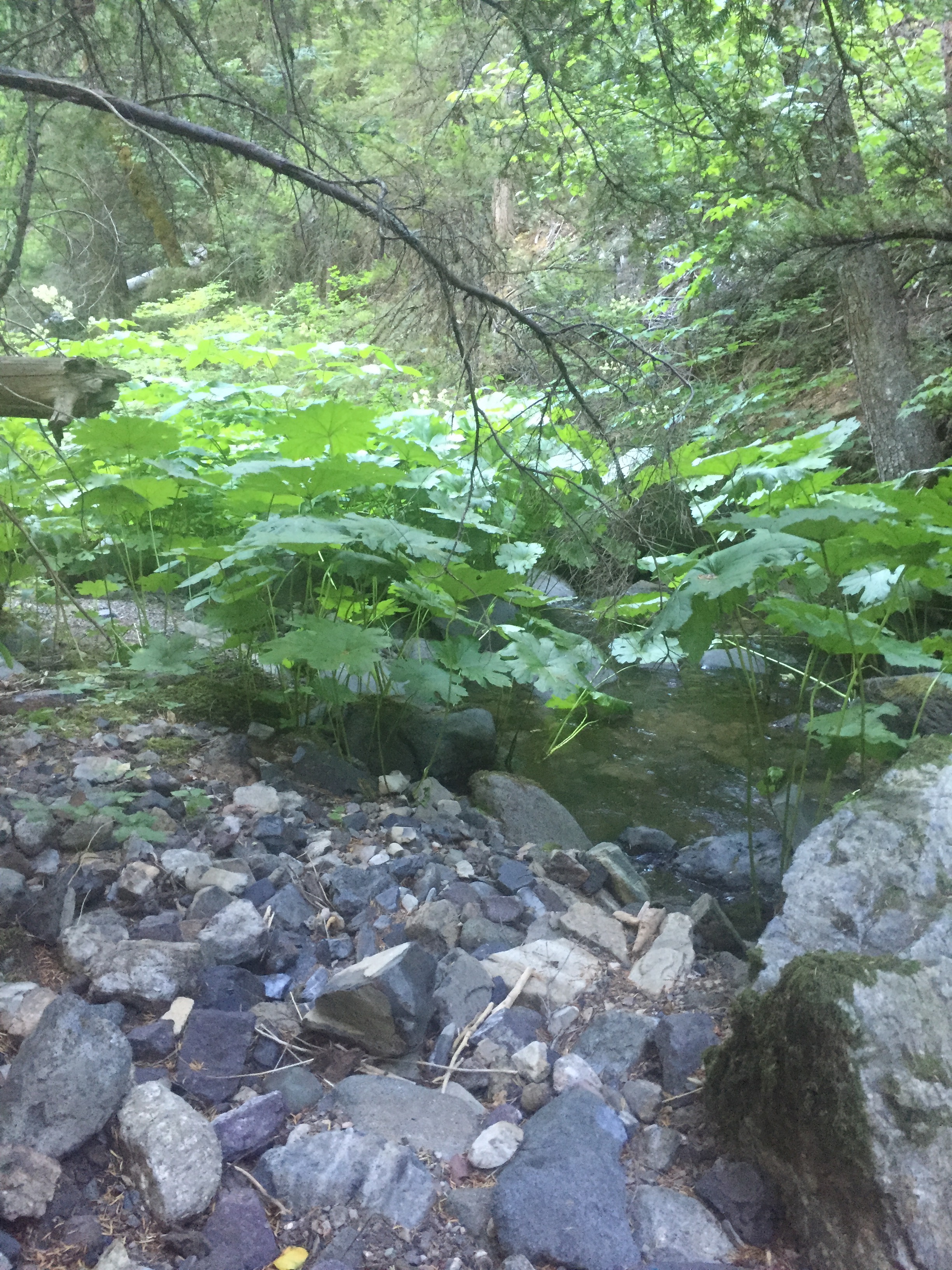
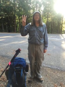
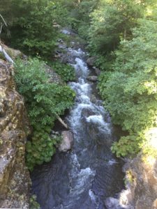
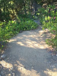
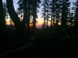
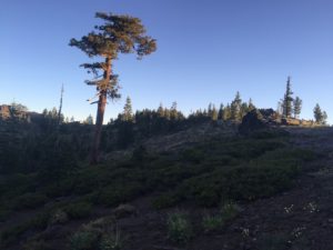
As I was spending the night looking at the stars I thought about how Lenora was going to the orthopedic surgeon in two days. Her shoulders have been getting worse and the Chiropractor thought there was something wrong and something that he could not fix and so had set her up to see an Orthopedic surgeon. Both Lenora and I figured it was a little arthritis and that she would probably be getting a cortisone shot and all would be better. The thought of her going alone was just suddenly not acceptable to me. Driving 40 miles, getting shots in the her shoulder and driving back another 40 miles was just not right and that says nothing about the emotional stress. So I decided I needed to be there and in order to be there I had to hike 23 miles tomorrow. Since I was not sleeping, I got up about 4 and started hiking about 4:30. It was still dark and so I was hiking by my headlamp. During the time we were being trail angels one hiker had indicated he was not going to hike in the dark any longer because he had stepped directly on a rattle snake in the trail and it just was not safe. Well I was thinking of that as I was walking but I was also had about 3 miles for generally downhill hiking to get to the Scott river where I was going to load up with water and have breakfast. It is just not easy to do the downhill hiking in the dark because the depth perception is compromised and so I decided that I would also not hike at dark again unless I was going uphill. It started to lighten up just before I got to the Scott river. Picture below taken about 7 am.
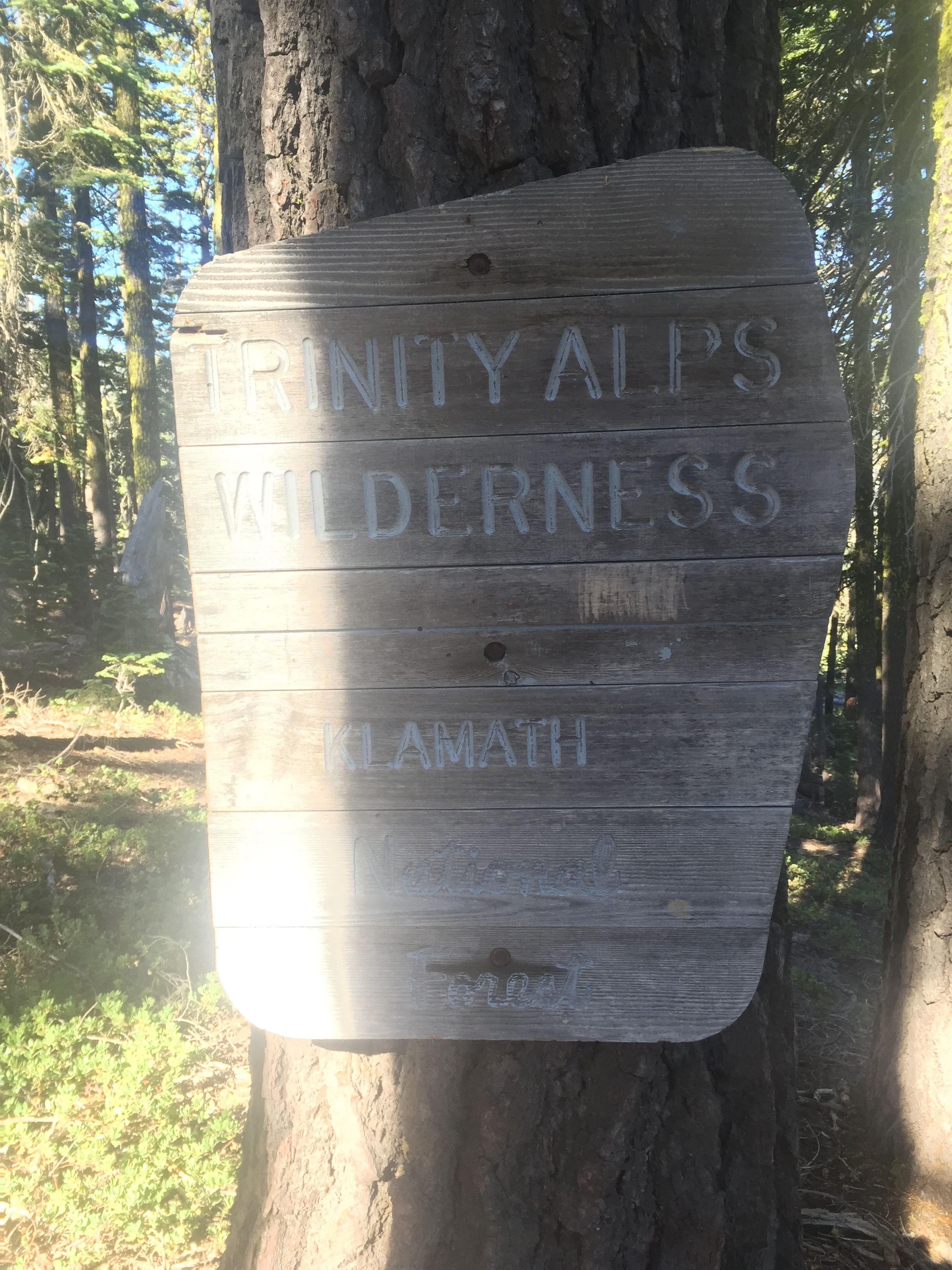
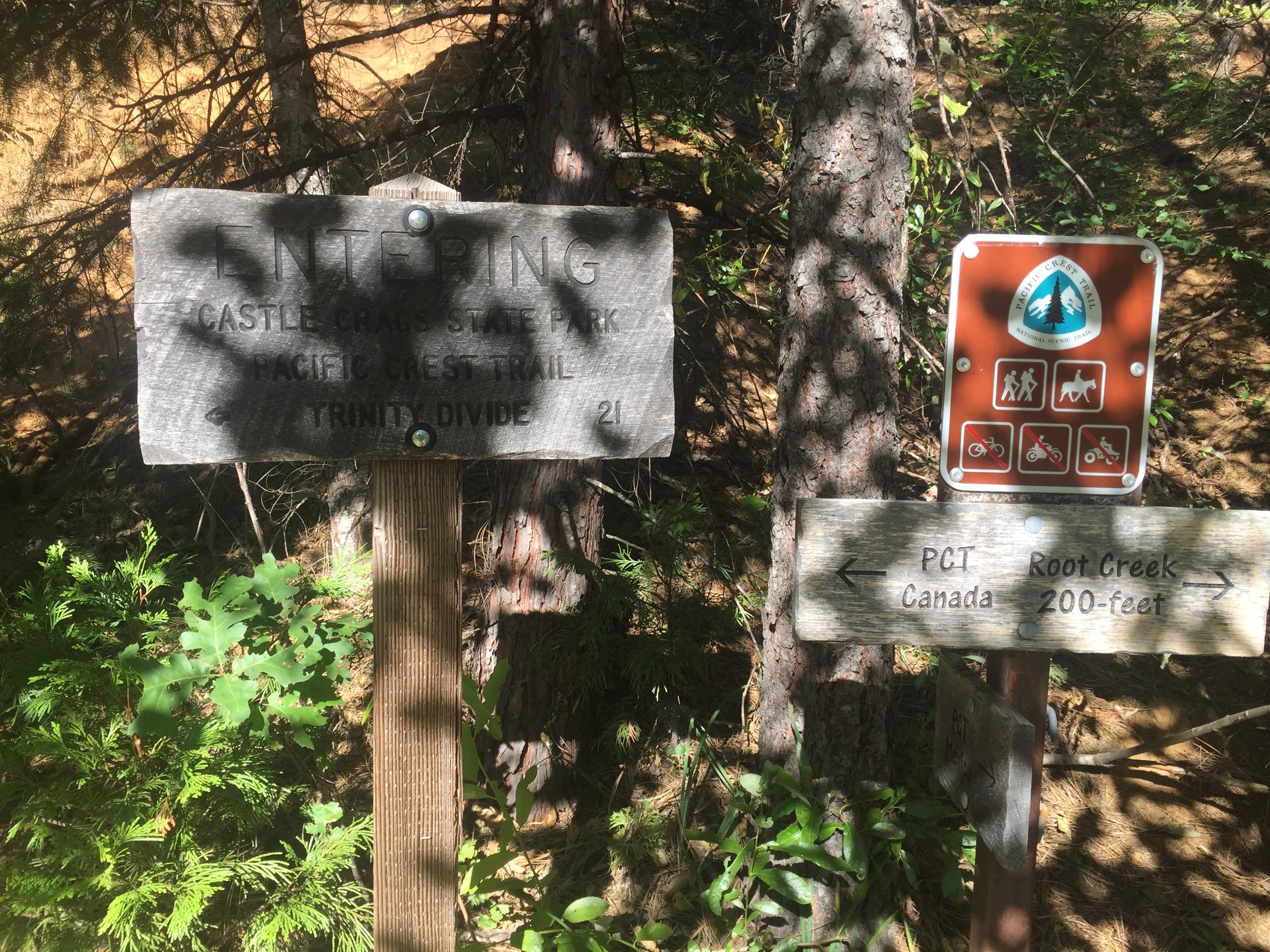
What goes down must go back up and you pretty much know that when you go down to a river you will be heading right back up next. I started the day at 7000 feet and went down to about 5700 feet and now have 3 miles of ascent to get back to 7000 feet and then a rise to about 7200 and then a rise to about 7400. Just after leaving Scott river I also leave the Trinity Alps Wilderness. About 6 miles later I reach the Russian Wilderness.
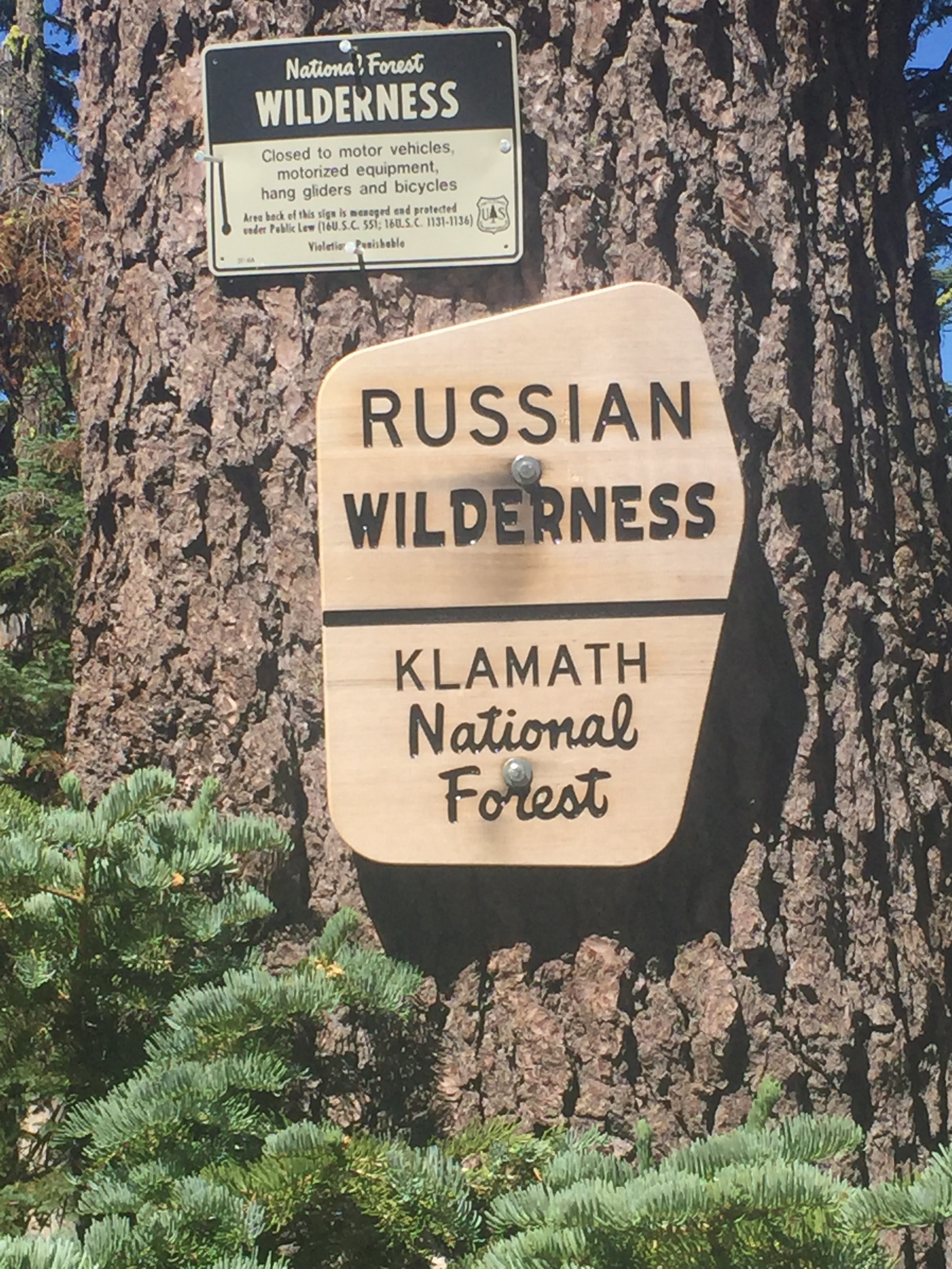
Here is some info about the Russian Wilderness taken from wiki:
The Russian Wilderness is a wilderness area of 12,000 acres (49 km2) located approximately 65 miles (105 km) northeast of Eureka in northern California. It is within the Klamath National Forest in Siskiyou County and is managed by the US Forest Service. It was added to the National Wilderness Preservation System when the US Congress passed the California Wilderness Act of 1984.
The Russian Wilderness protects the Russian Mountains,[2] a portion of the high crest of the Salmon Mountains, which are composed of metamorphic and granitic rock. There are over twenty named lakes at different elevation levels as well as the major watersheds of the Scott River and North Fork Salmon River.
The Russian is one of three wilderness areas that form an almost continuous chain, from the Trinity Alps Wilderness to the south, and the Marble Mountain Wilderness in the north, these areas provide an important corridor for wildlife such as the migrating herds of black-tailed deer. The Russian Wilderness is part of the largest nearly roadless complex in northwestern California.
Elevations range from 2,500 feet (760 m) to the high point of the wilderness, Russian Peak, at 8,196 feet (2,498 m) [41°17′N 122°57′W].
There are several stands of conifers that are rare for California, including subalpine fir and Engelmann spruce in the wilderness. The region gained prominence amongst botanists in the 1970s when Dale Thornburgh and John Sawyer began conducting studies in Sugar Creek. In addition to discovering the first stands of subalpine fir in California, the diversity of other conifers they found here was reason for pause and then return studies. In all, after several years of research, they discovered 17 species of conifers in one square mile—of varied terrain—below the peak. Those conifers are: foxtail pine, whitebark pine, western white pine, Jeffrey pine, ponderosa pine, lodgepole pine, sugar pine, white fir, Shasta fir, subalpine fir, Engelmann spruce, Brewer spruce, mountain hemlock, Douglas-fir, incense-cedar, common juniper, and Pacific yew. An 18th conifer, the western juniper, was documented and reported by Richard Moore in 2013. The wilderness protects habitats for American black bear, deer, Douglas squirrel, California quail and rattlesnakes. Less common animals include the fisher, marten, wolverine, pileated woodpecker, beaver, coyote and mountain lion. Rainbow trout, eastern brook trout and brown trout are found in the lakes and streams. The wilderness is dominated by glacier-carved granite crags, dating from the Mesozoic, similar to the Sierra Nevada. This results in similar surface topography, including cirques and U-shaped glacial valleys. Similar to the Ritter Range, a chain of dark metavolcanic rock is dominant in the mountains along the edge of the wilderness.
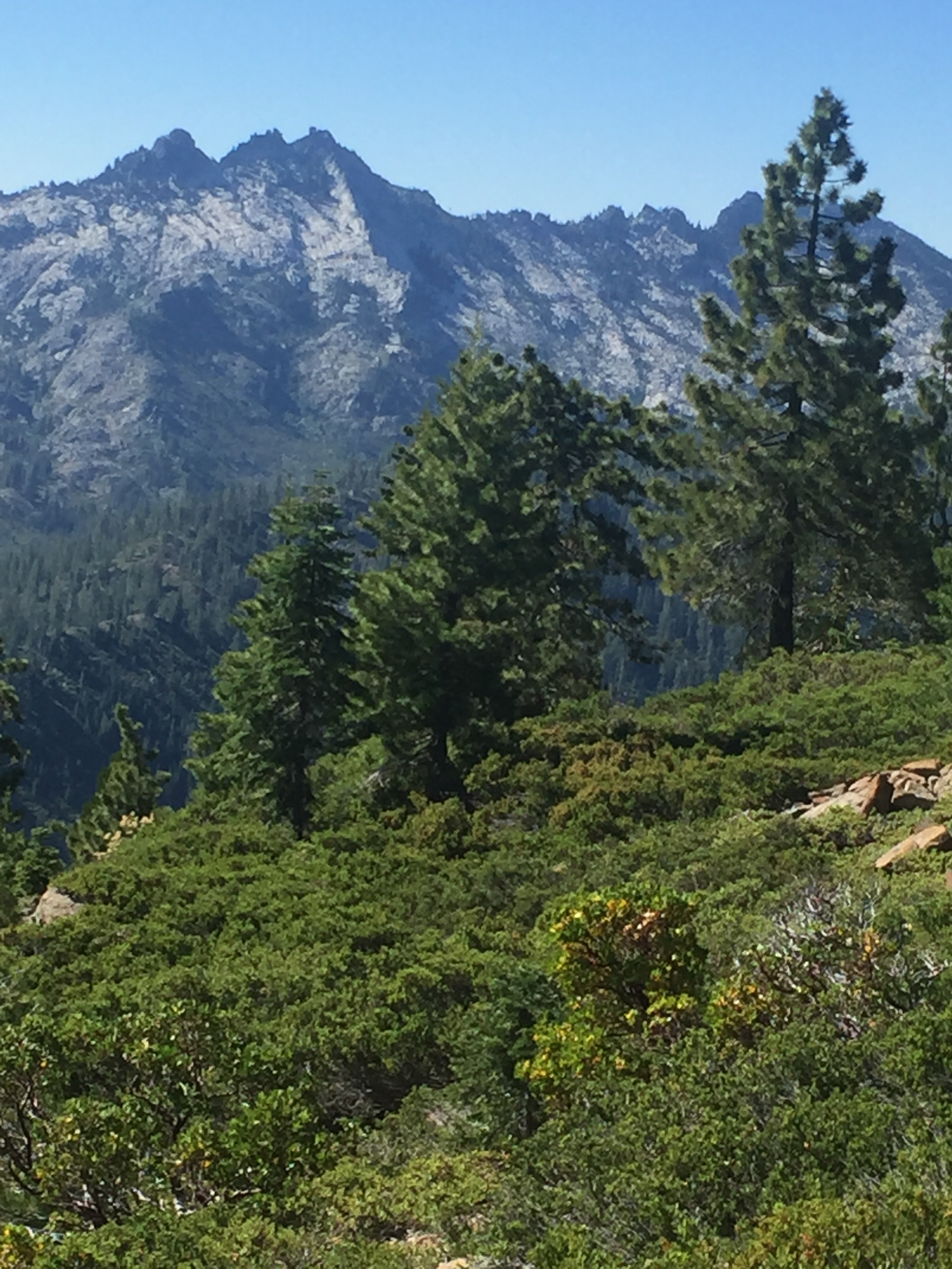
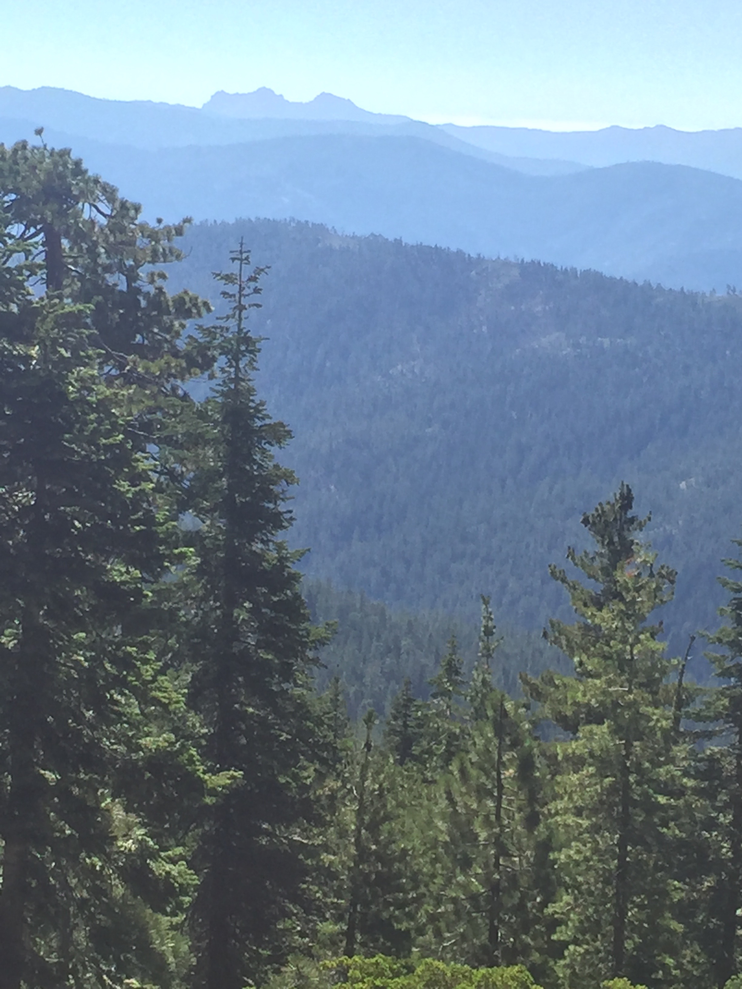
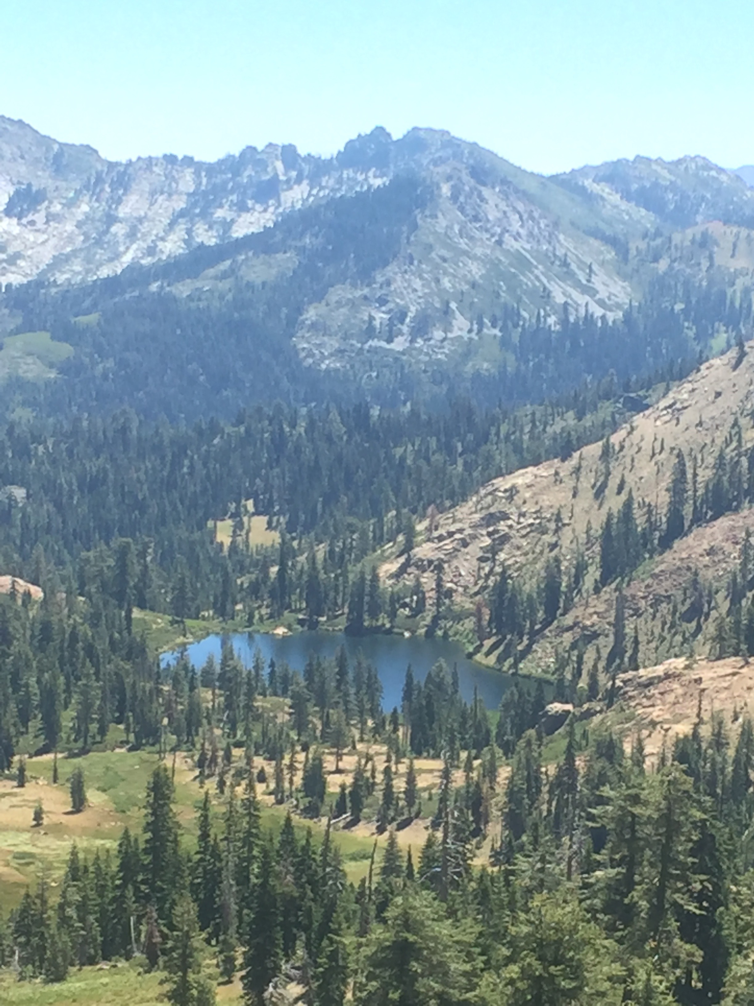
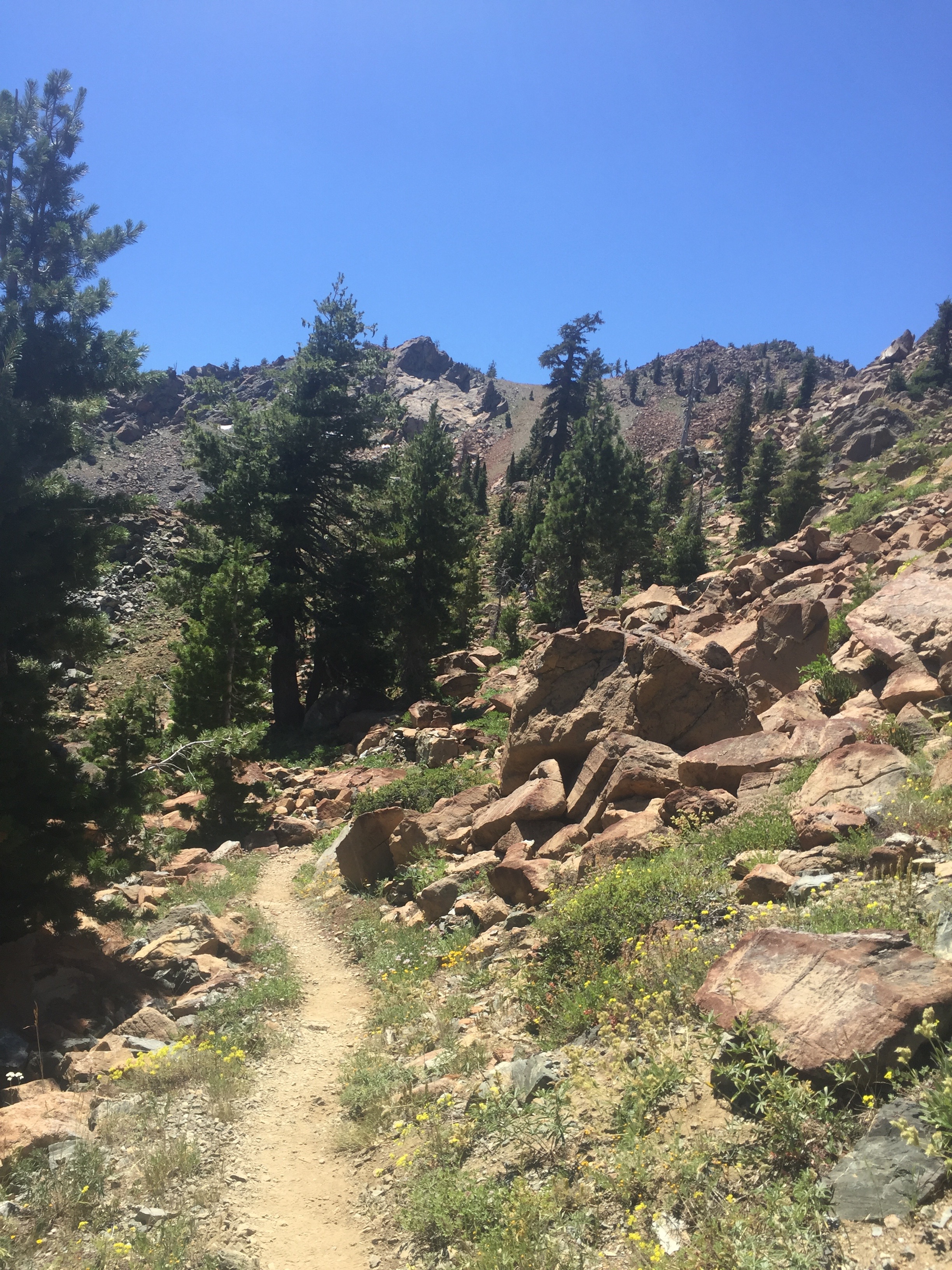
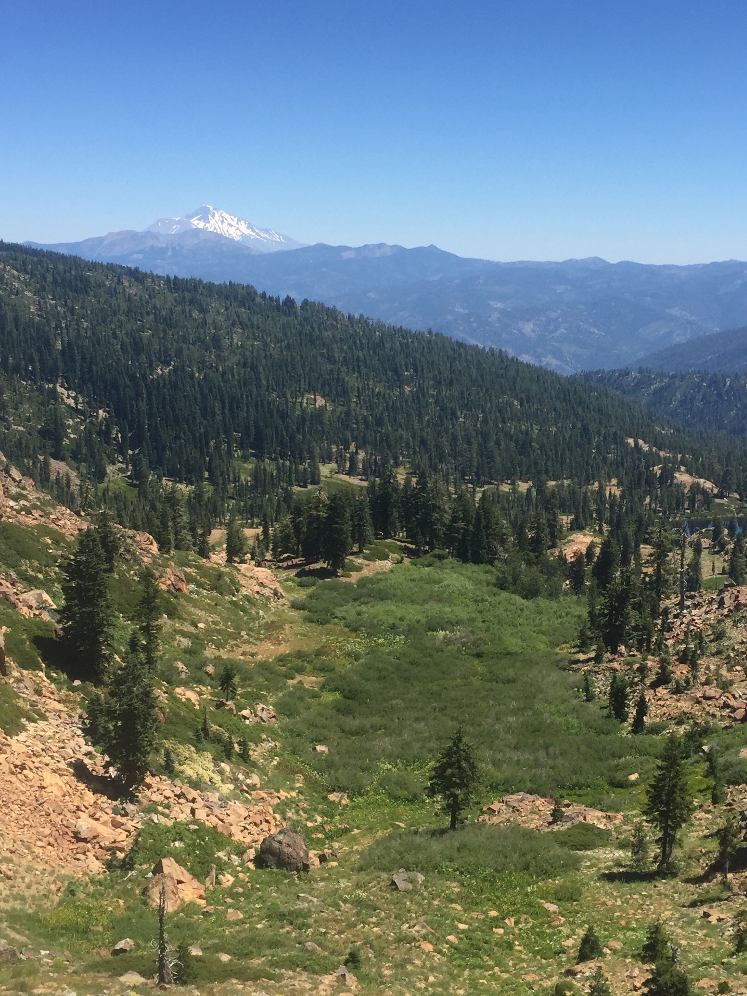
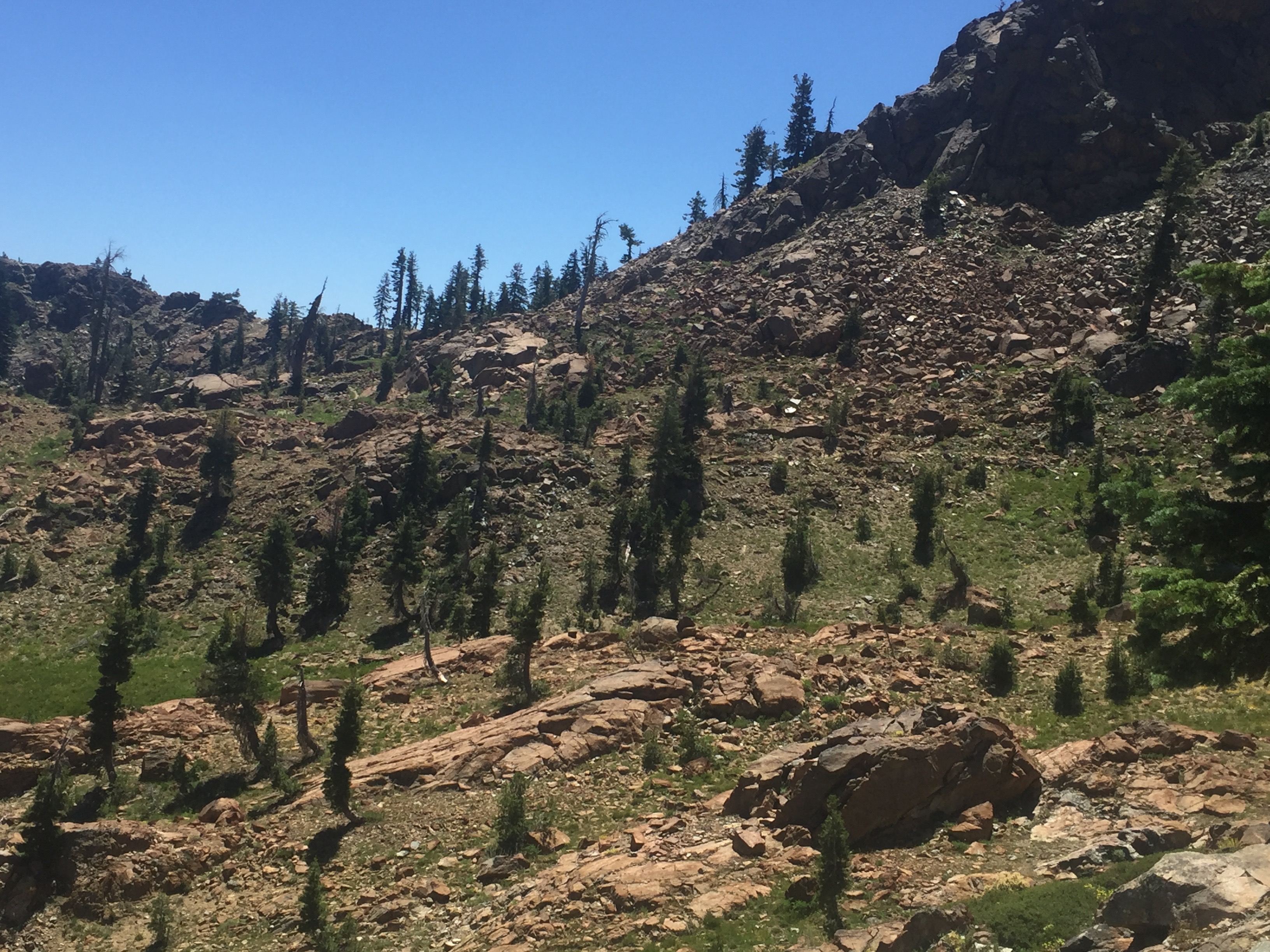
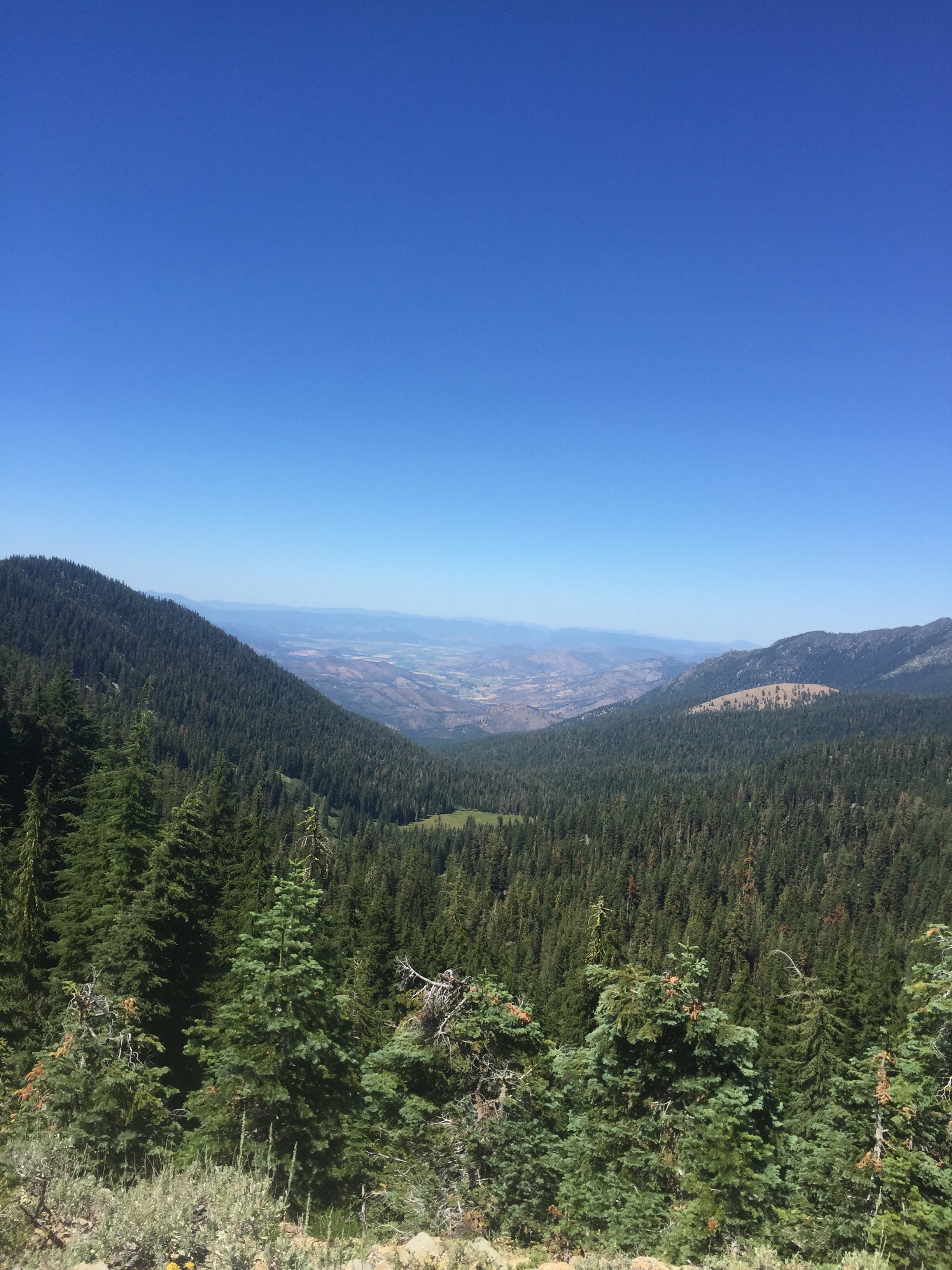
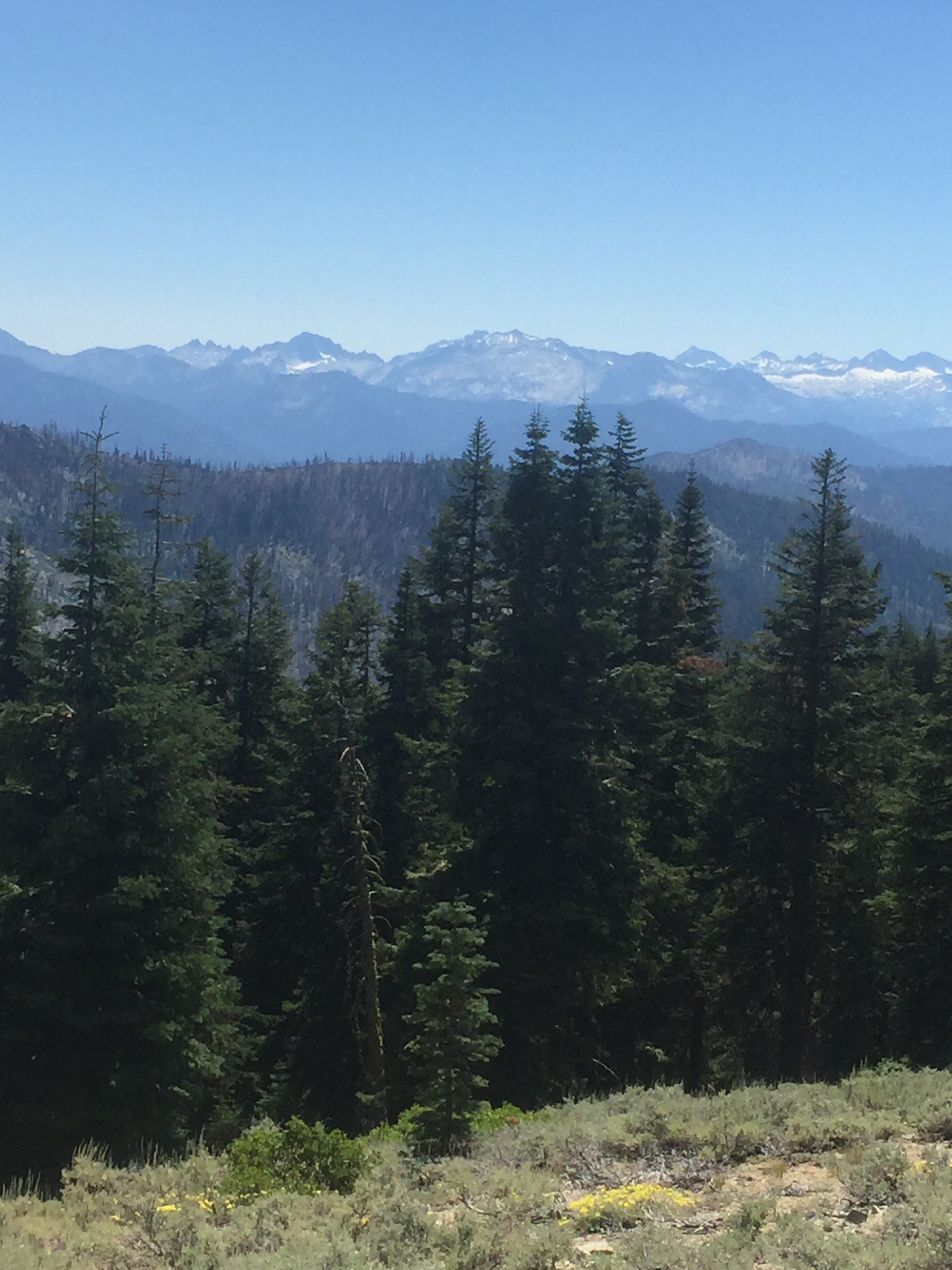
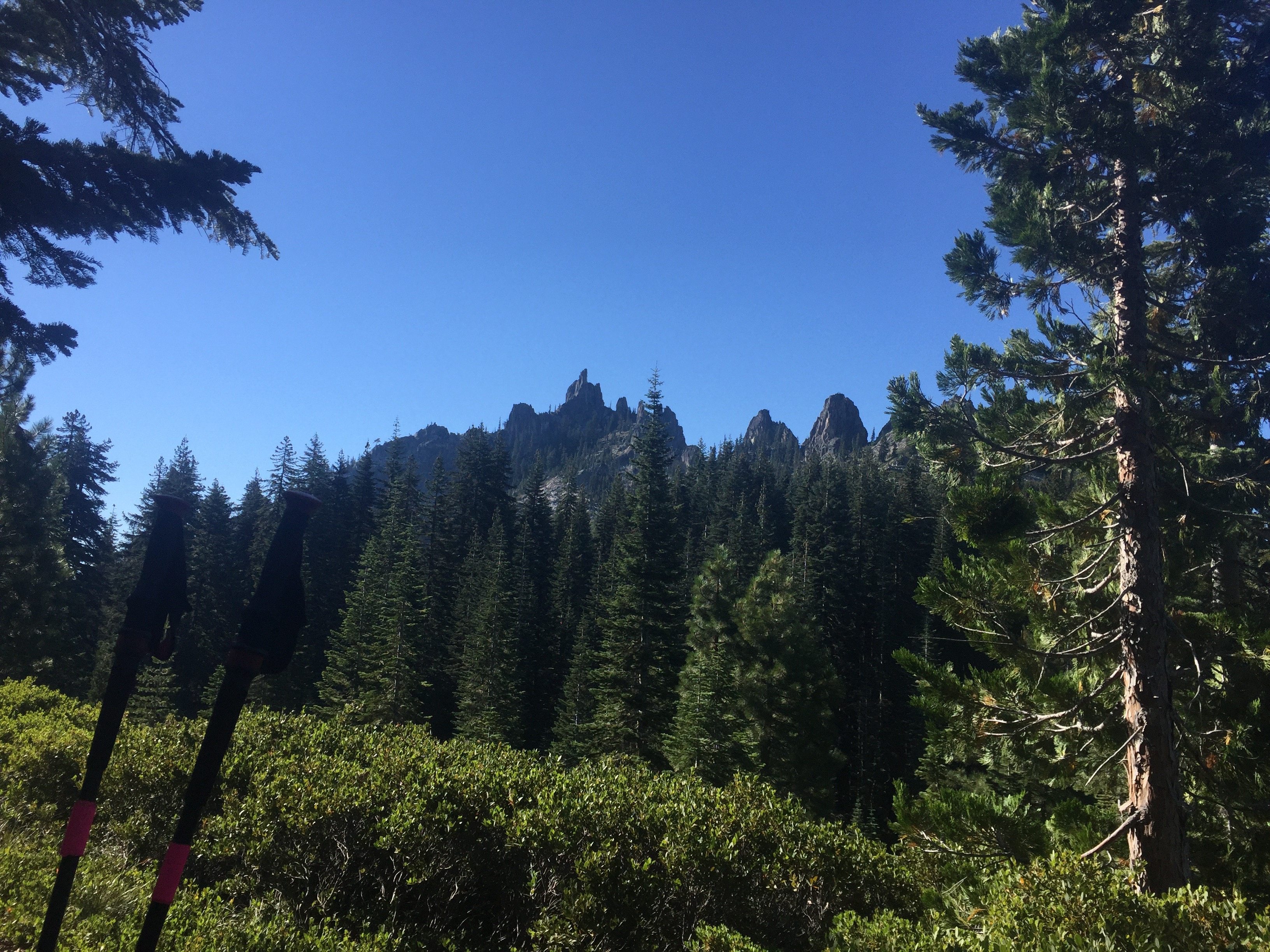
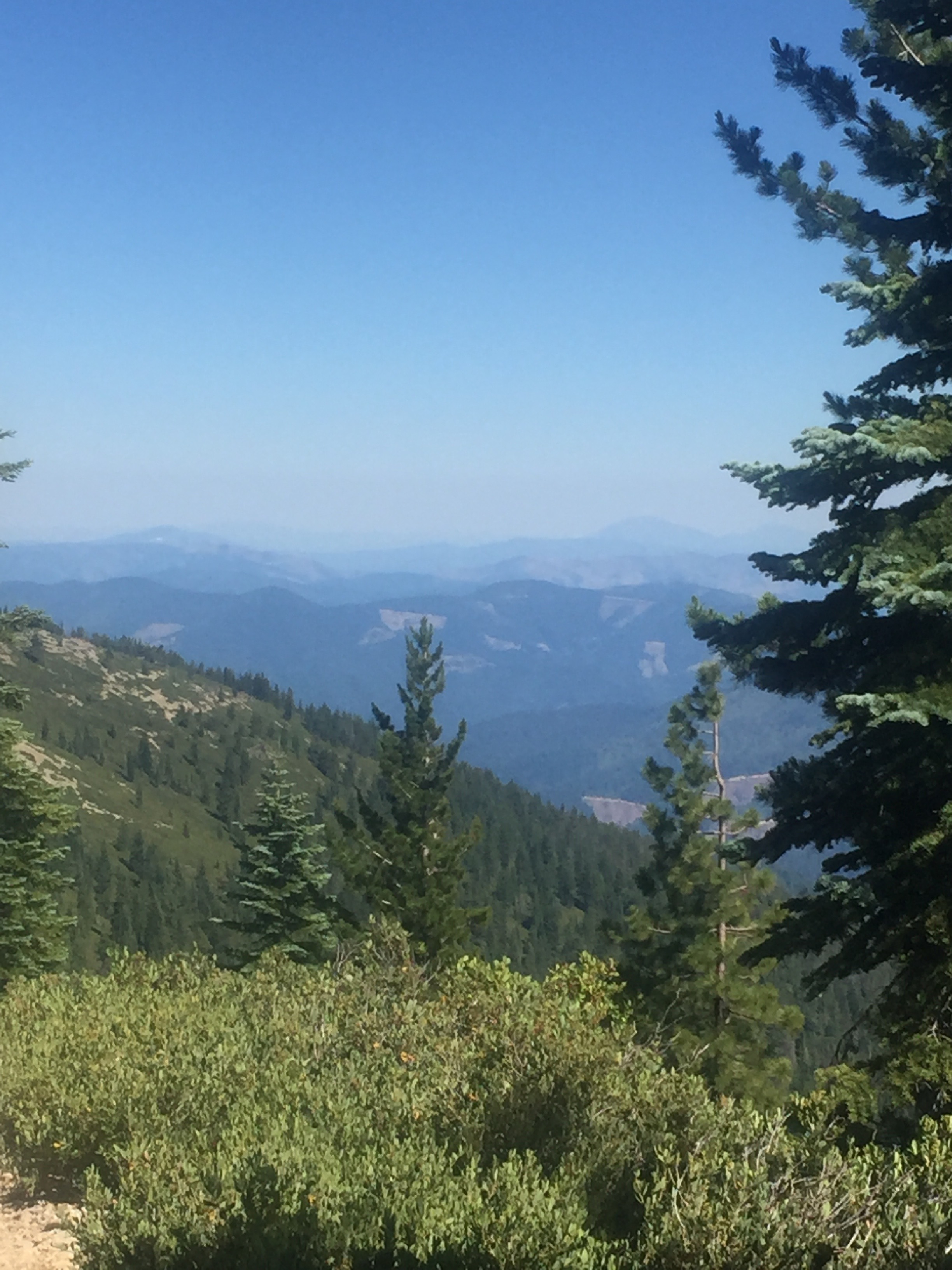
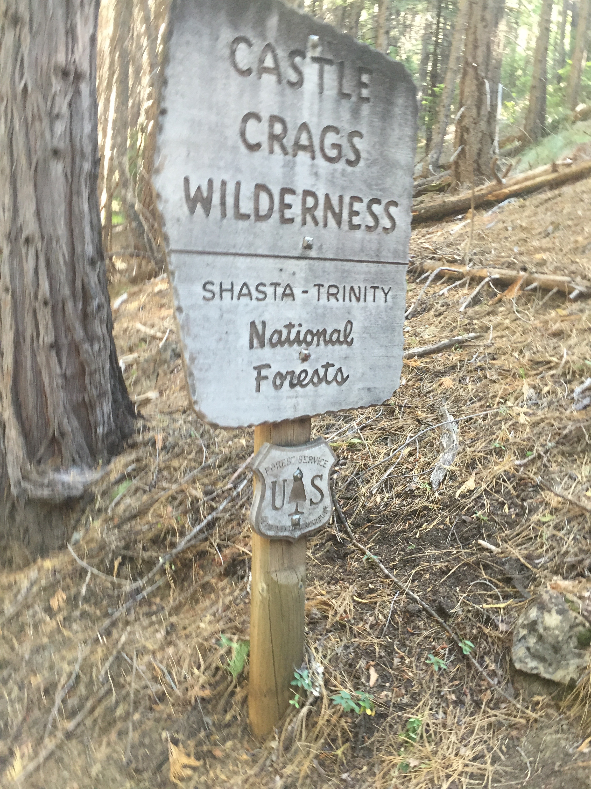
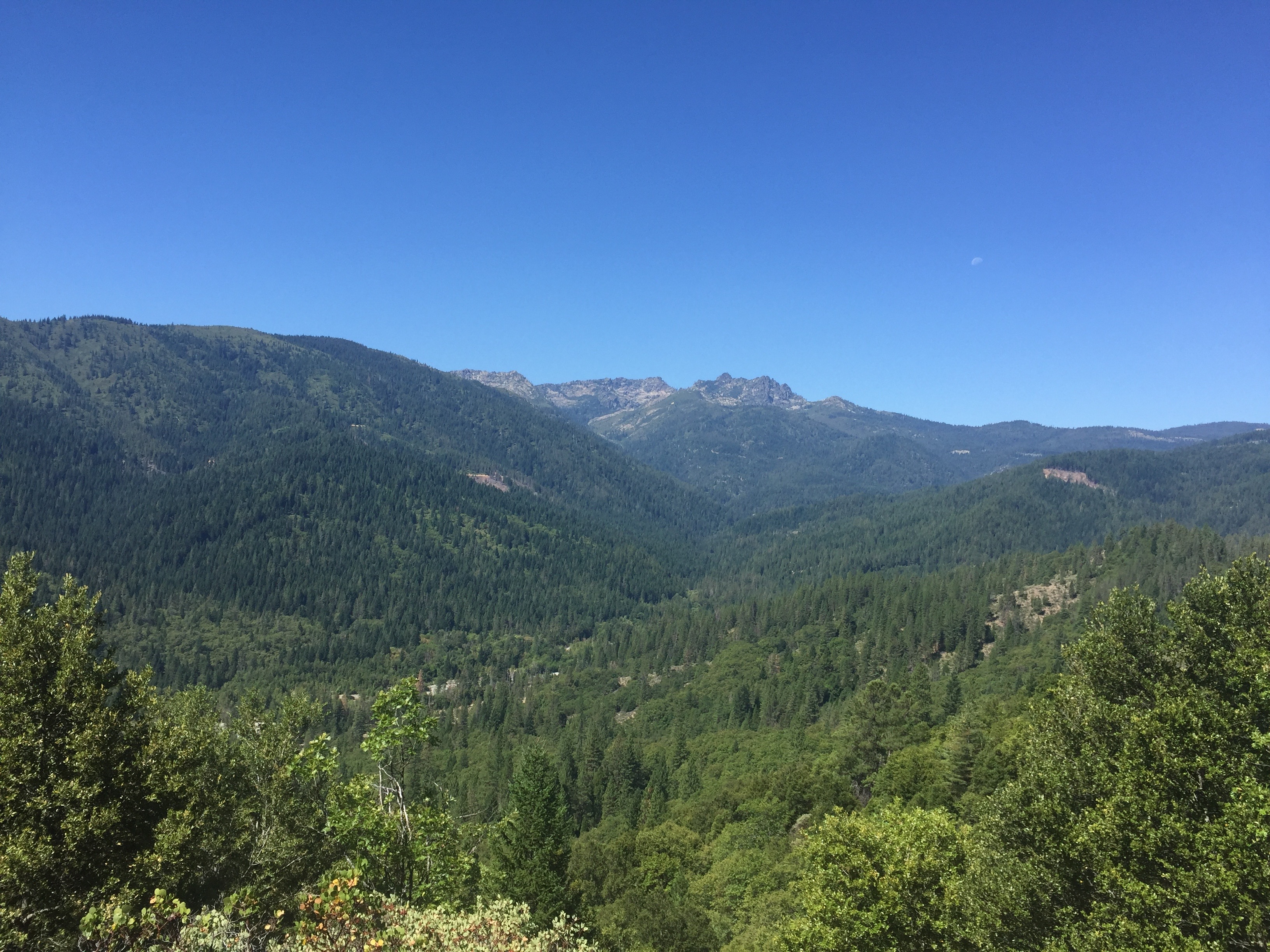
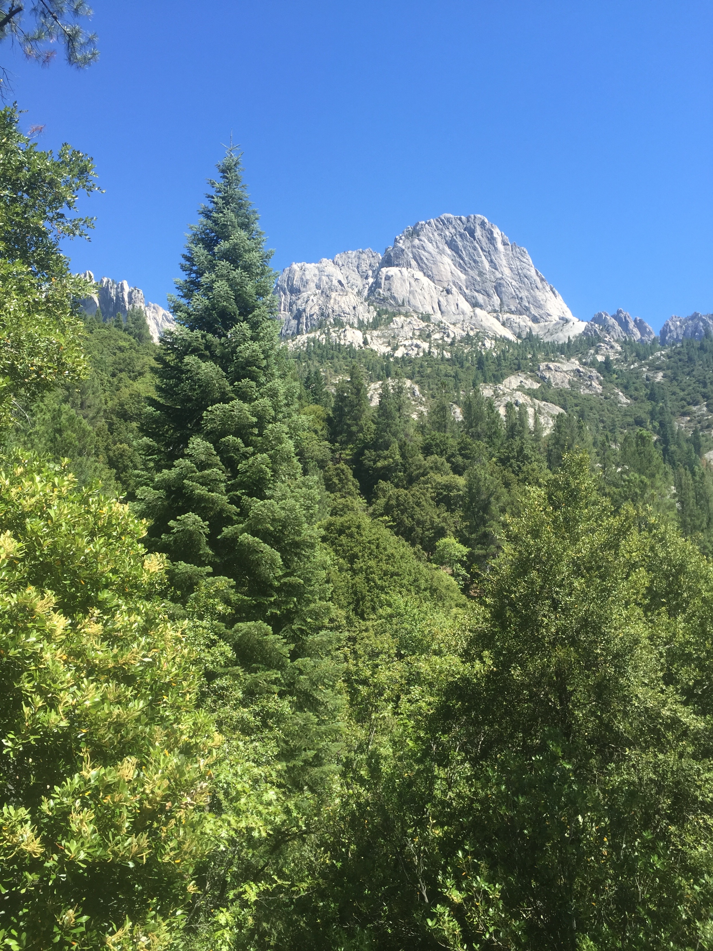
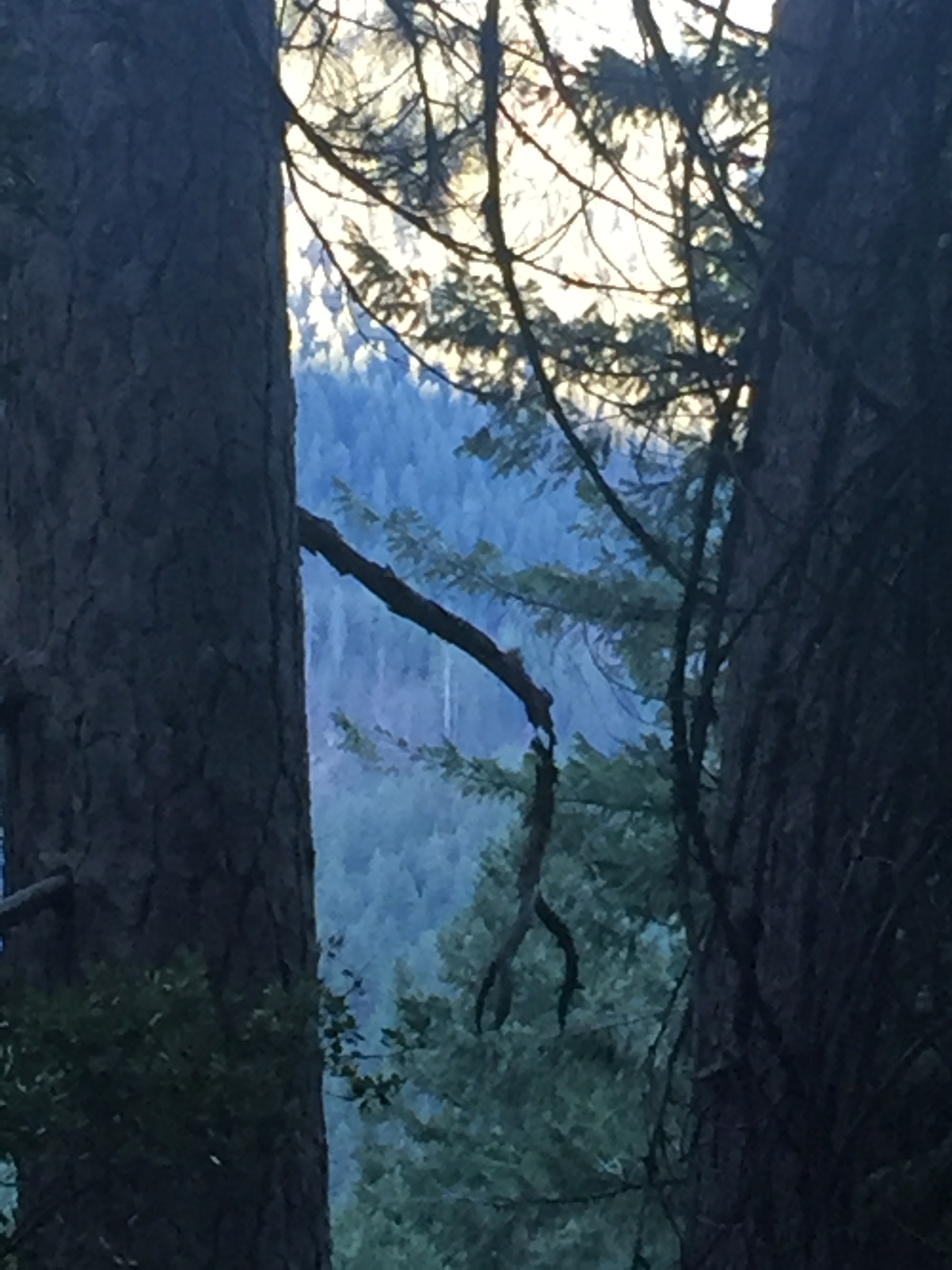
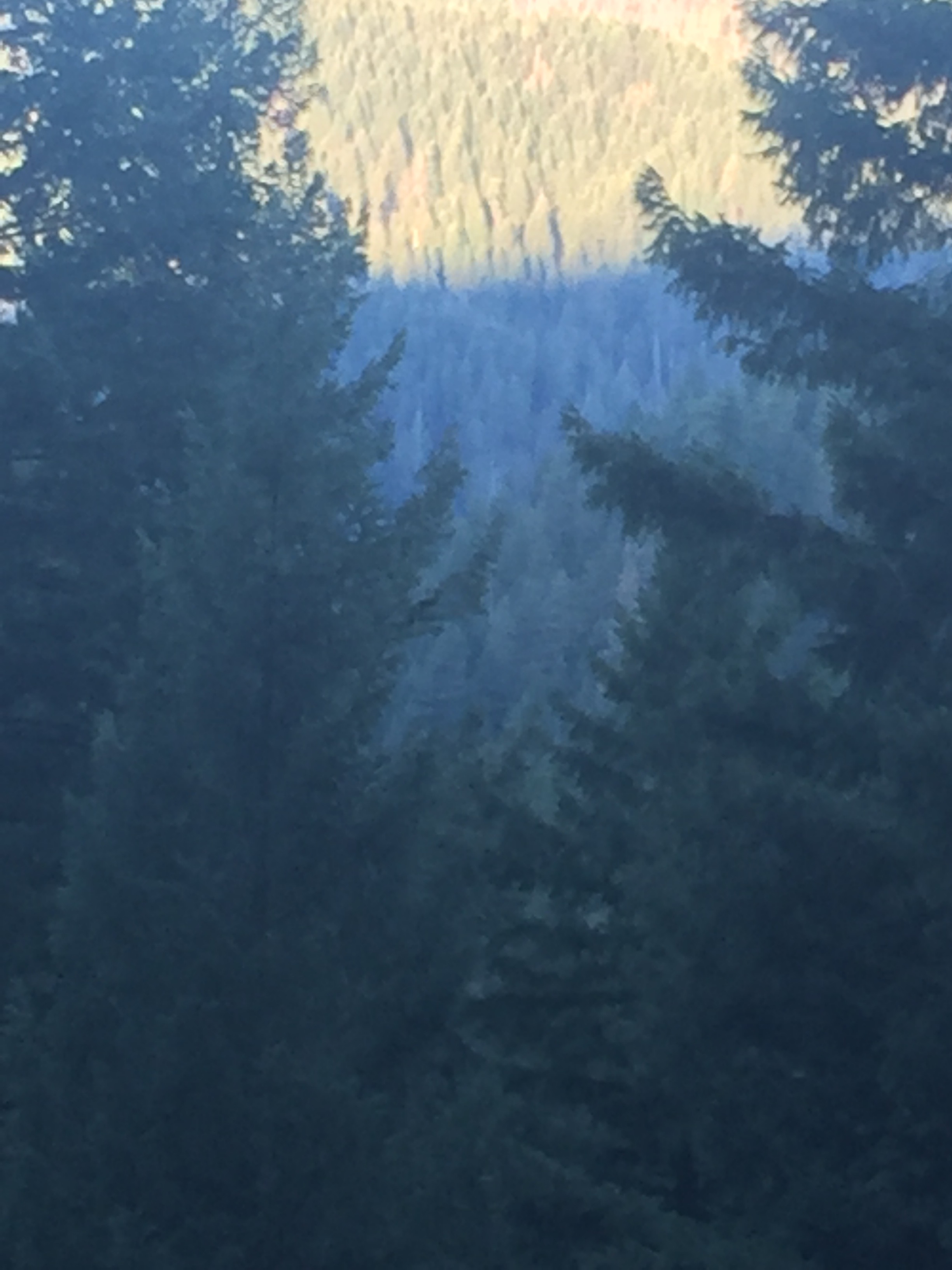
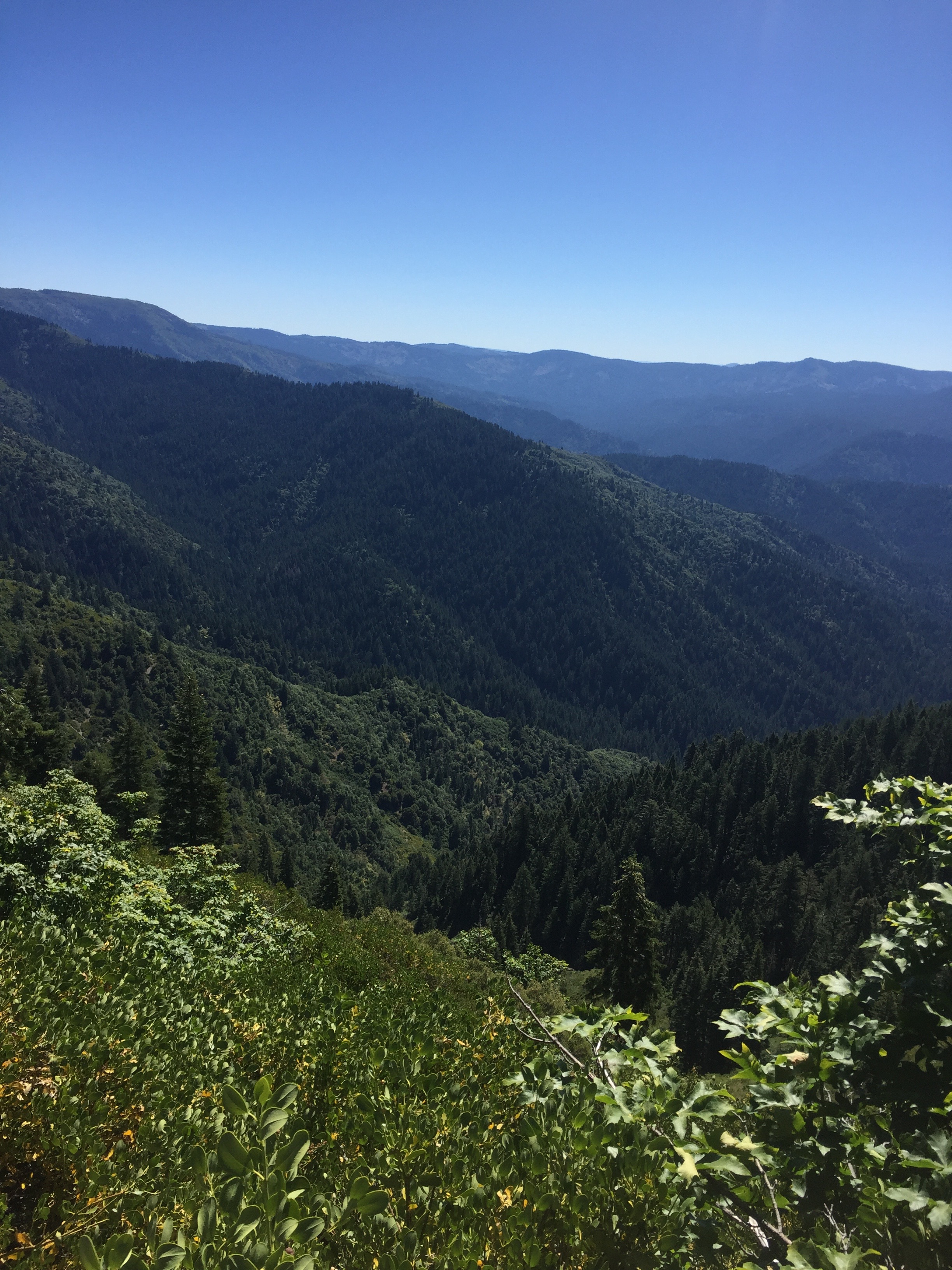
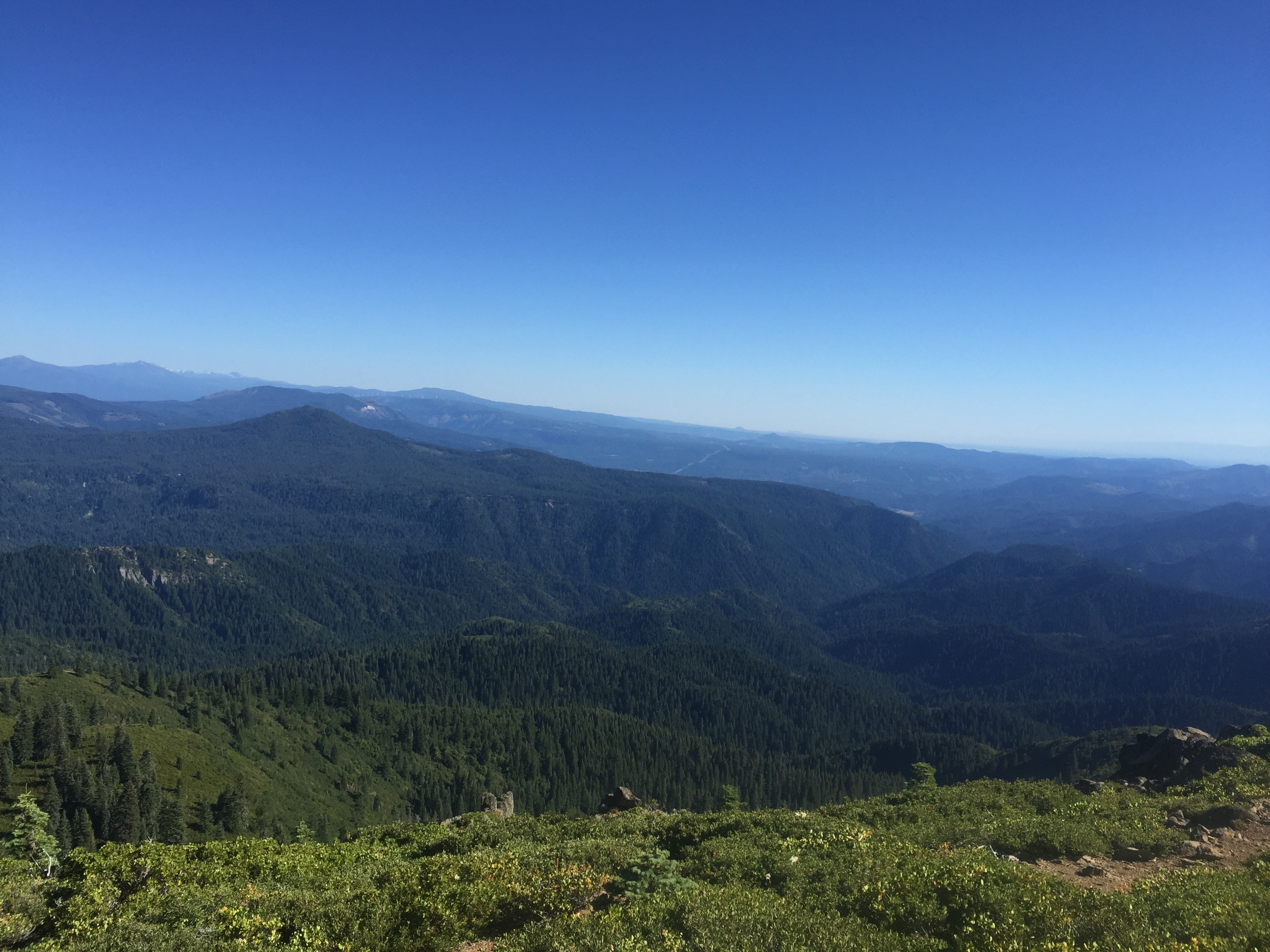
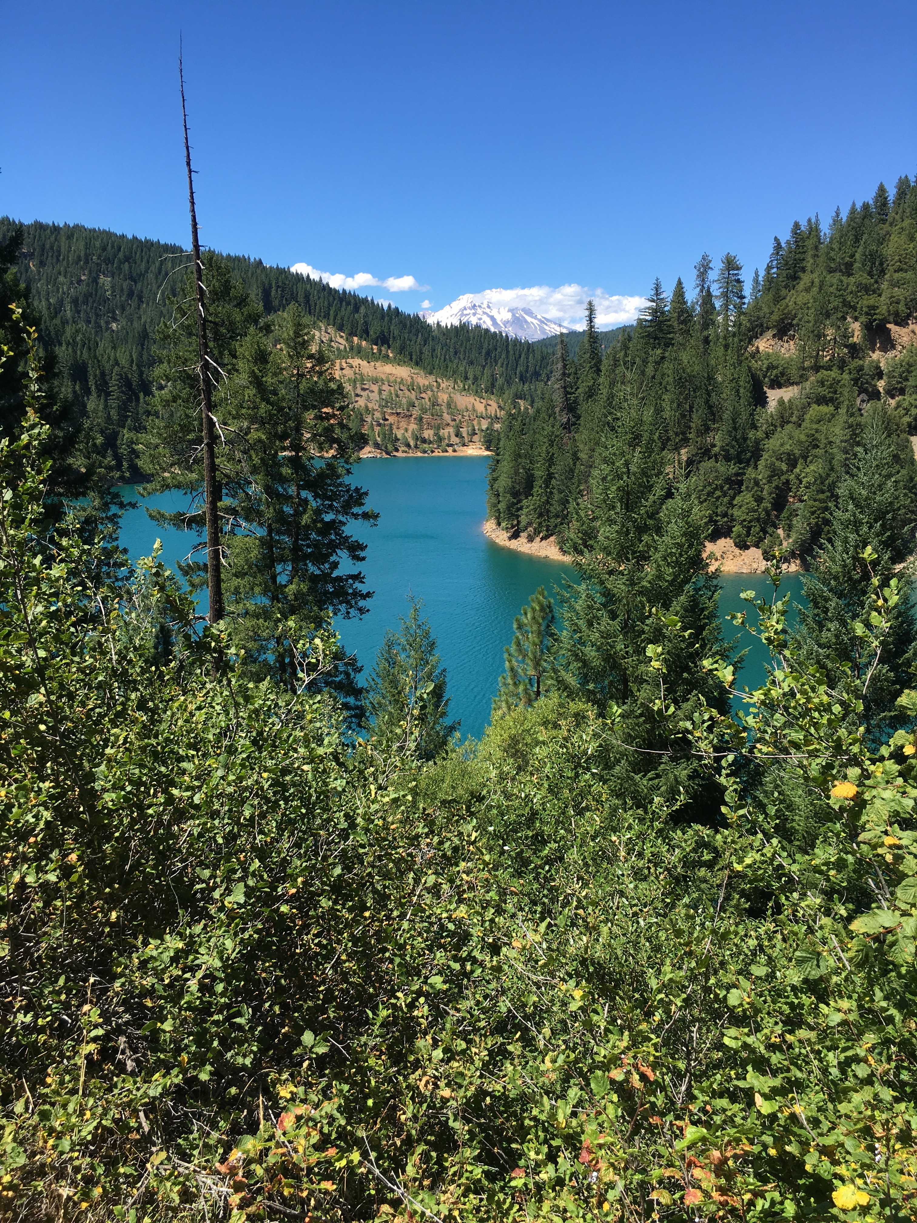
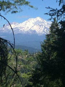
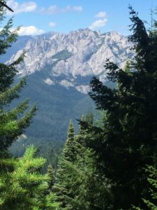
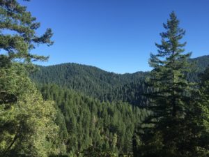
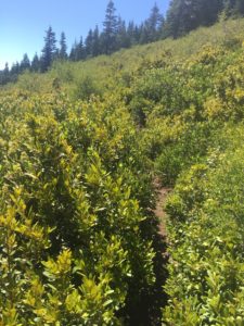
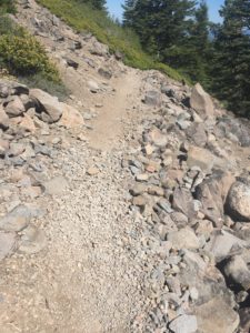
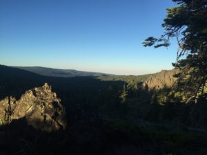
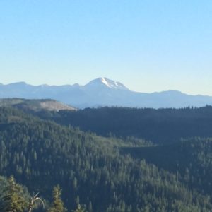
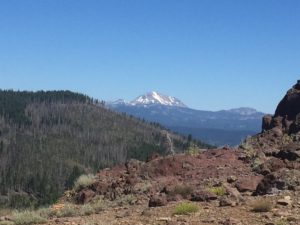
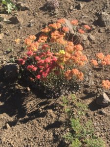
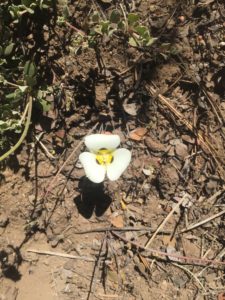
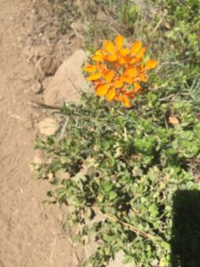
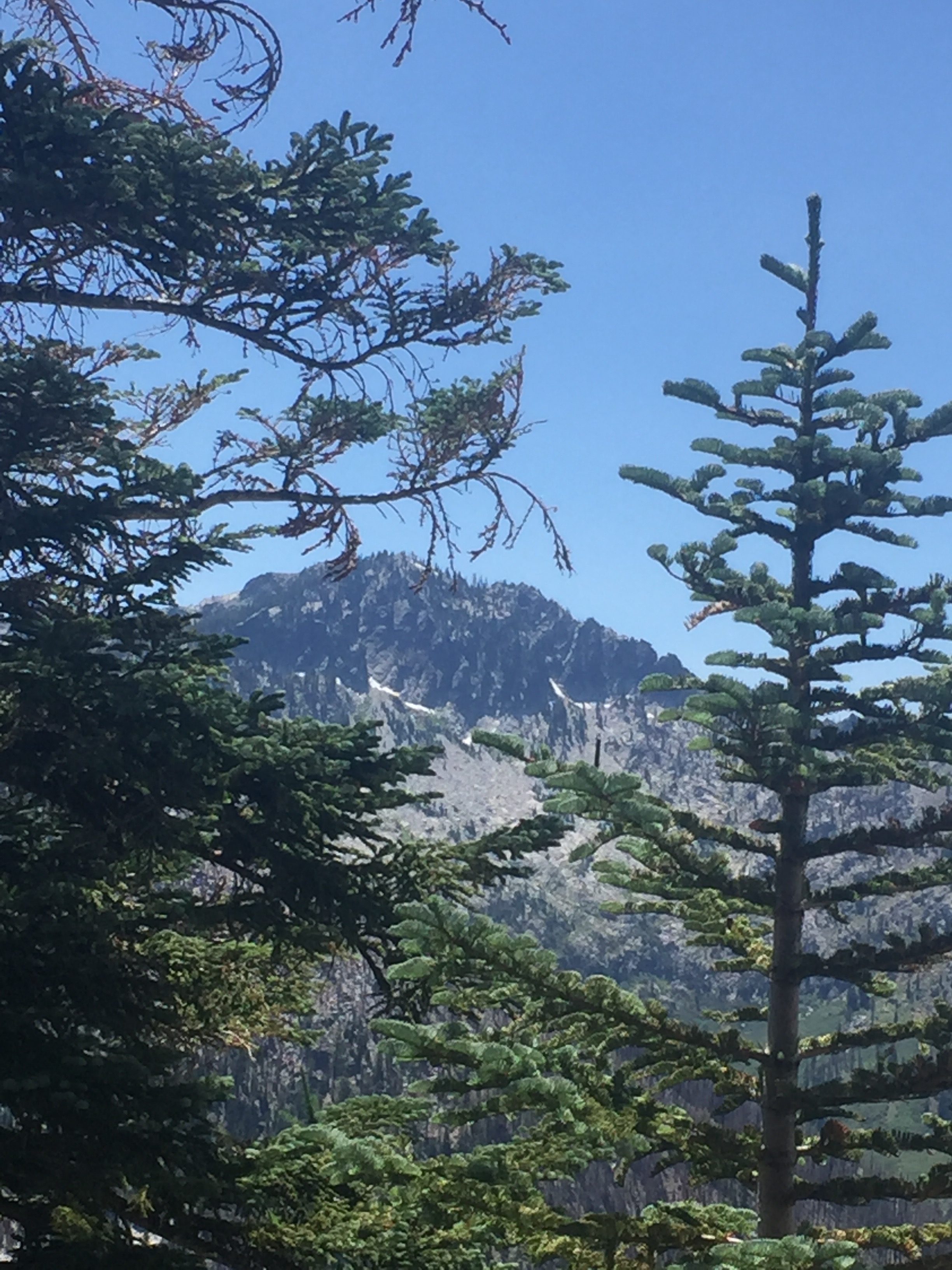
3 minutes after the sign for the wilderness I get my first real look at the Russian Wilderness as shown in the pictures below. It is spectacular!!! So now I get to descend into the wilderness to about 6400 feet just so I can ascend back to 6900 feet. The descent is gentle, the ascent not so much. It is on the ascent that I am passed by a number of hikers. All of them are very much in a hurry to get to to Paynes Lake which is about 5 miles ahead. I had heard about this lake while giving out magic from a number of hikers. Apparently the lake is shallow and warm and perfect for swimming. News has spread apparently because everyone wants to get there. Paynes Lake is about 7 miles short of my destination and I won’t have the time to check it out.
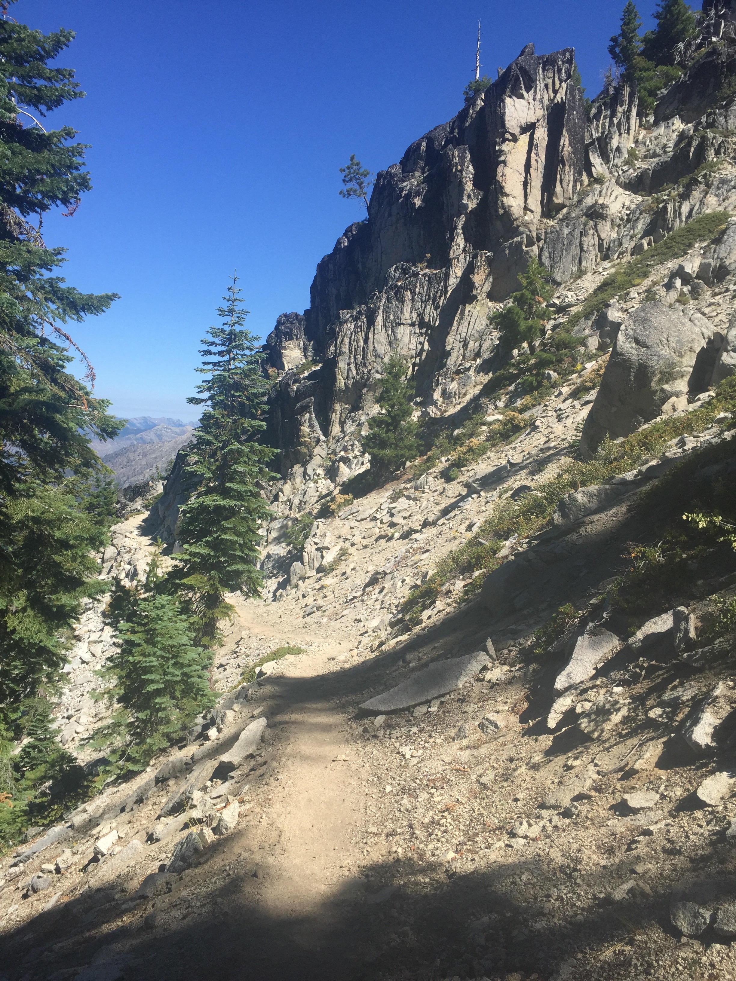
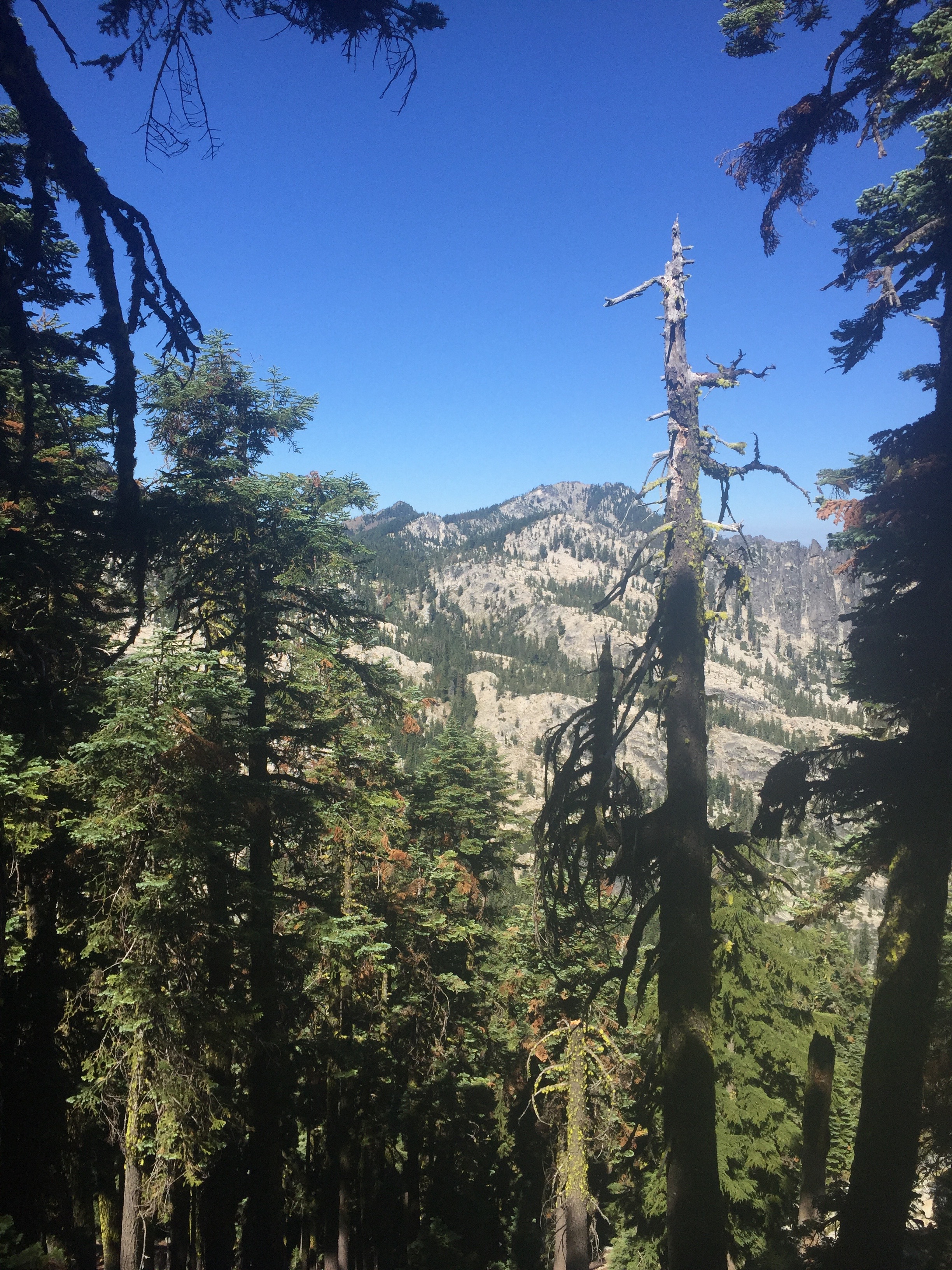
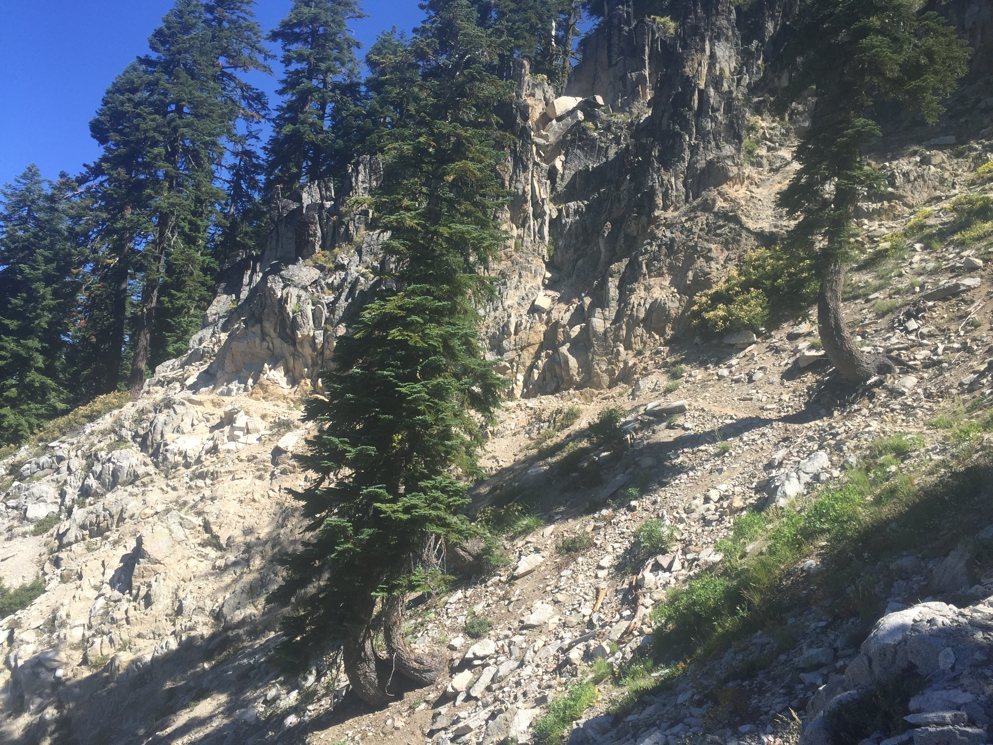
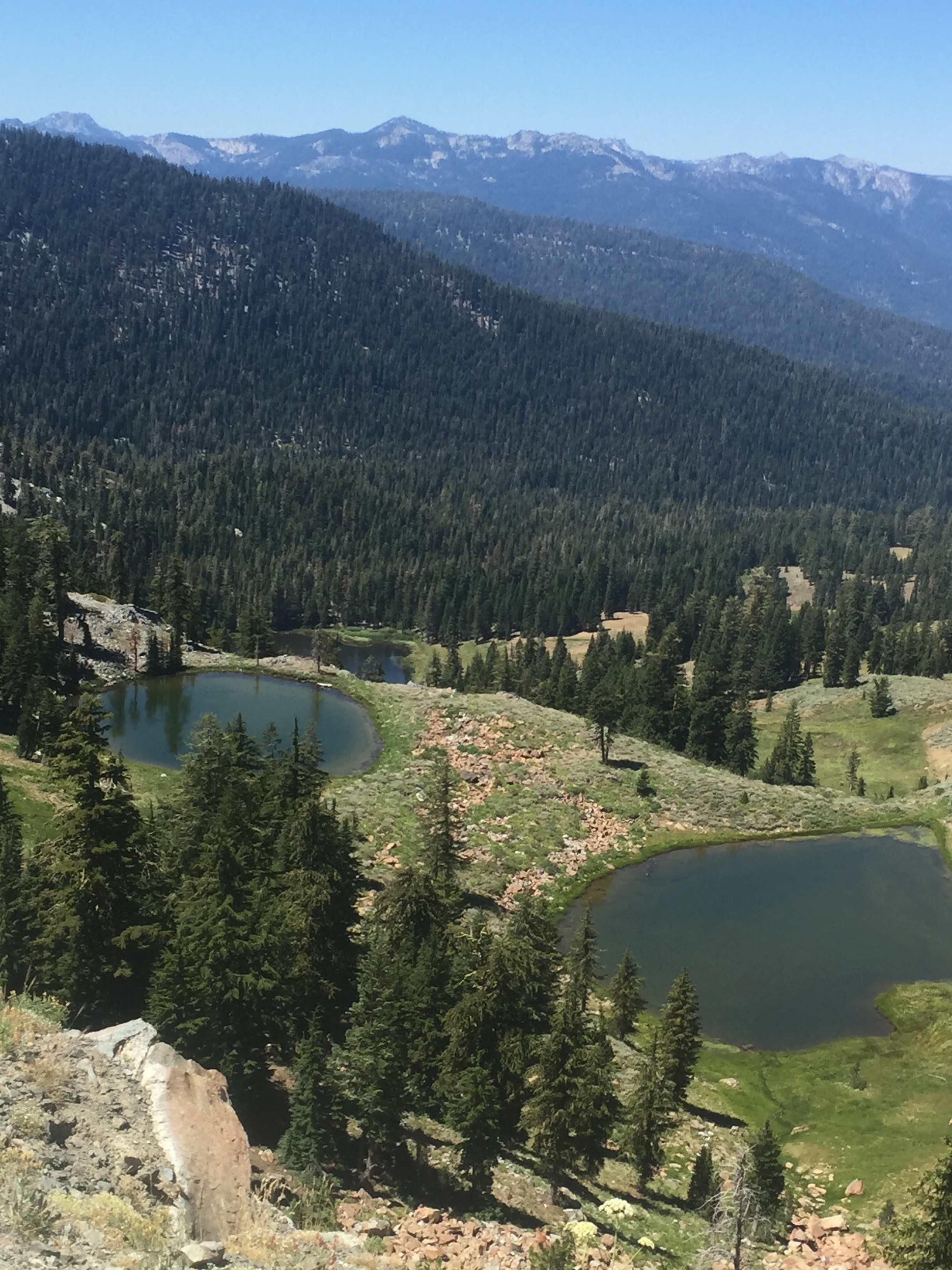
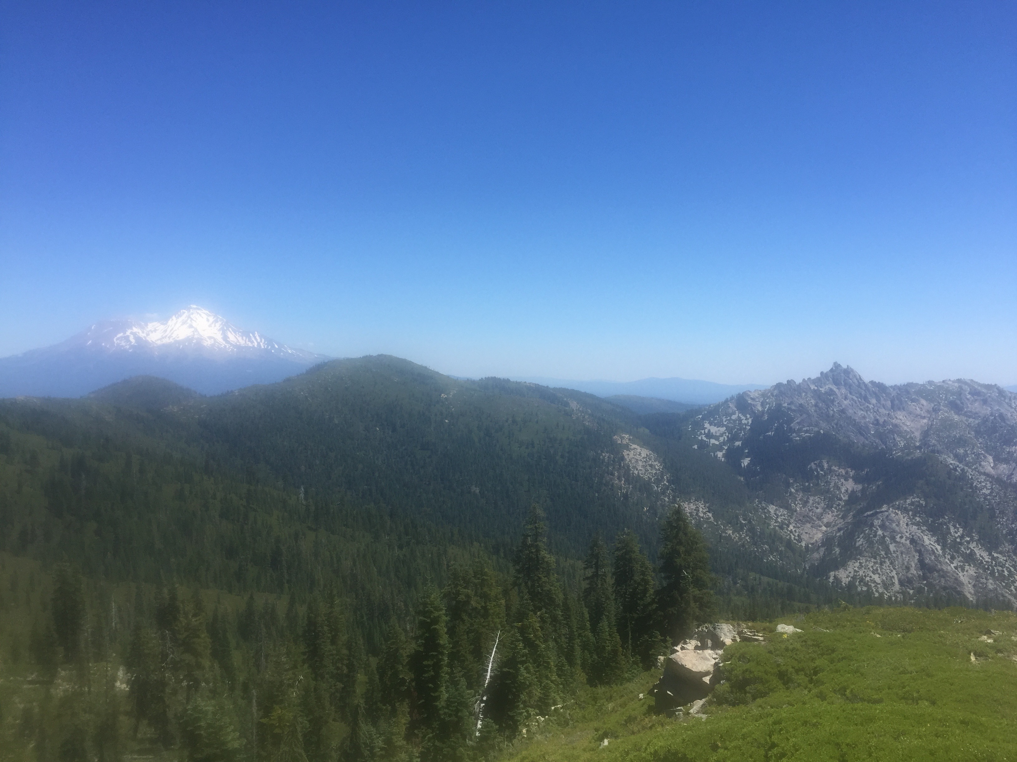
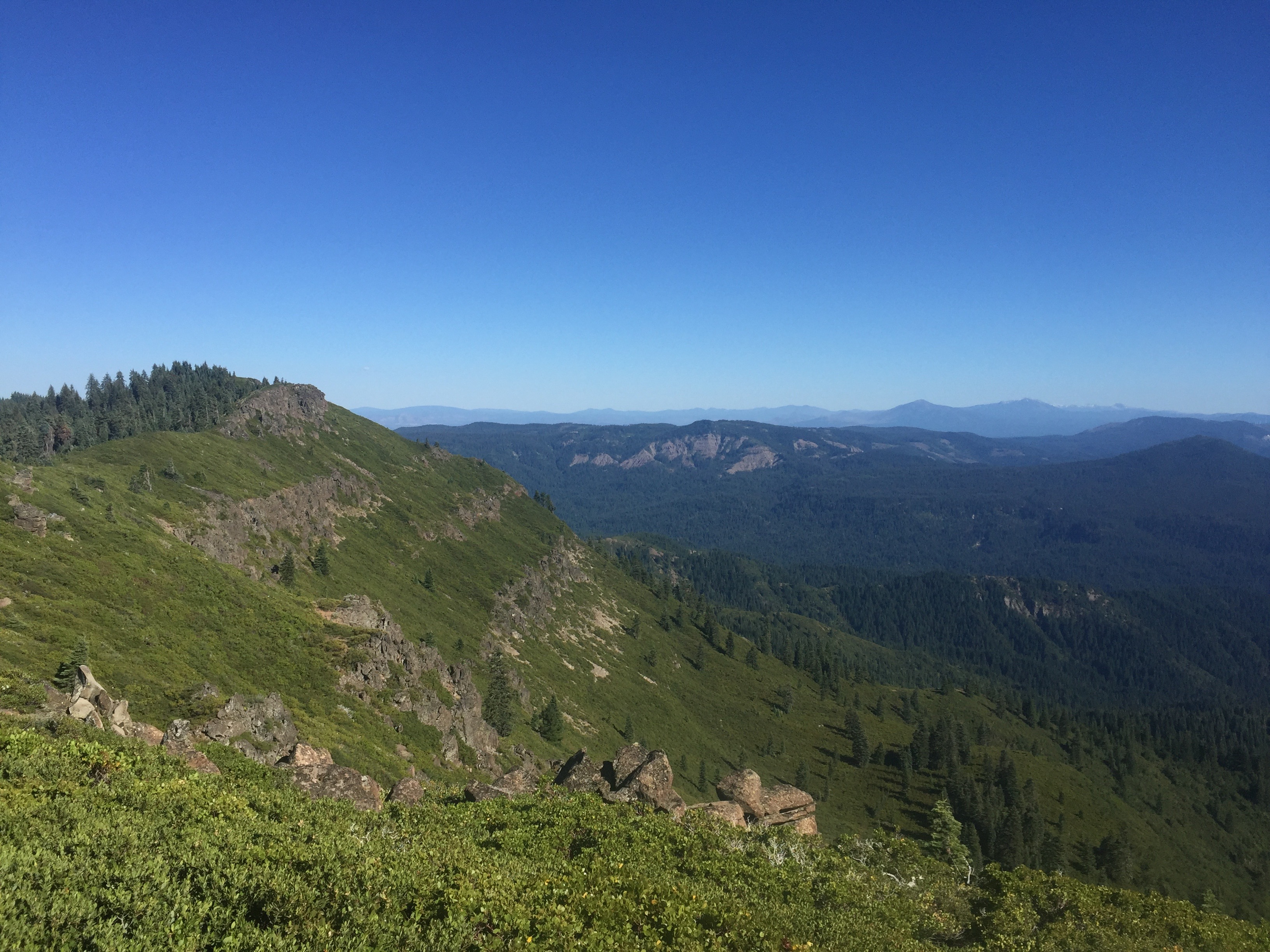
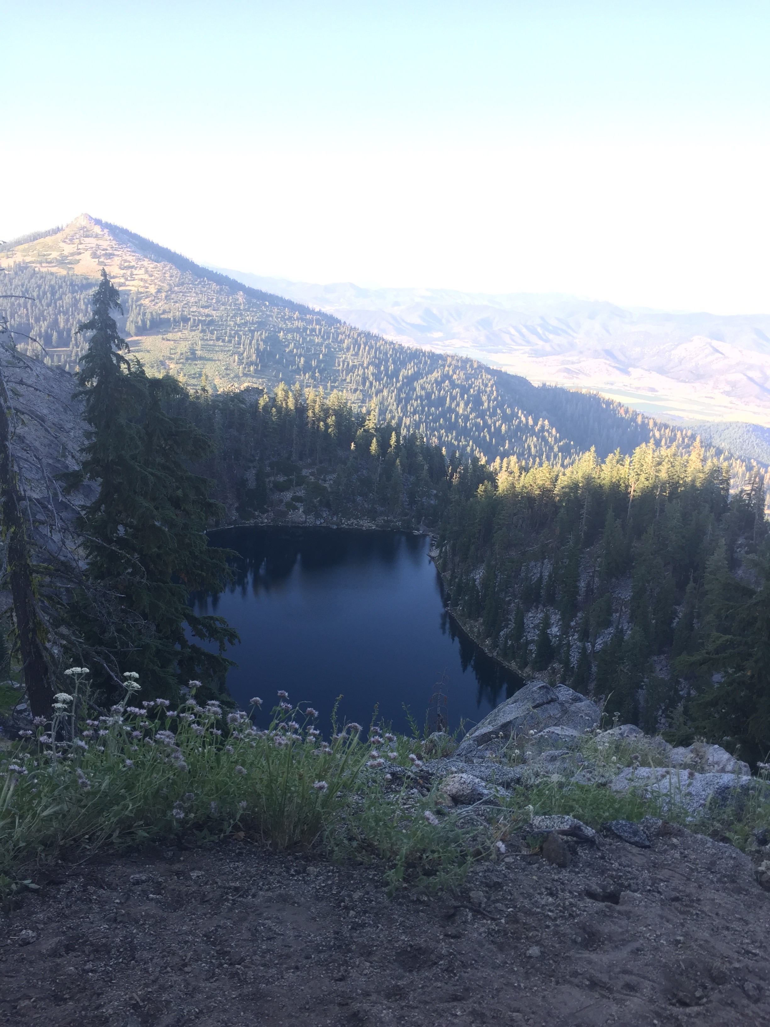
Once I get reach the apex of the ascent it is a pretty gentle 5 miles of ups and downs to reach Paynes Lake which is about at 6500 feet. Now it is about 7 miles to get to the road where Lenora can pick me up and it is getting late in the day. I have really not sure I can reach the road before dark and not sure I can reach the road at all. 23 miles will be my longest hike of the trail. I keep telling myself that all these young punks are doing 30 and sometimes more miles a day. How hard can it be to do 23? Because I have not been sure I could make it, Lenora does not even know I am trying. So I have about 3.5 miles to ascend to about 7400 feet and about 3.5 miles to descend to 5900 feet where the road is. The picture below is taken just before the descend starts. It is a picture of Ruffey Lake and the picture does not do it justice. Just an amazing view!!
I put myself into the highest gear I have and start heading down toward the road and do make it and just before it gets dark. There is a German couple that gets there about the same time from the town of Etna and all of us try to set up on the parking area by the side of the road. I am going to do cowboy camping (just pad and sleeping bag) but they both TRY to set up their tents. It is a challenge but with a lot of rocks they eventually get the tents anchored and crawl in. Meanwhile I text Lenora and indicate I am at the Etna Summit and if she wants she can pick me up tonight or tomorrow morning before the Dr appointment. I figure tomorrow morning but she texts back that she is on her way. I move my position so I am right near the road and at about 10:30 pm she arrives and we head back to town. I now learn why she came tonight which is because a tooth has started to go bad and it is evident a root canal is necessary and she has a dentist appointment the next morning at 7:30. I am so glad that I made it to the road!!!
So the next day the dentist does think that a root canal is necessary but also notices that an implant Lenora got just before we left is loose and actually seems to be working its way out of the bone. This is NOT good, not good at all. So we get set up with an Endodontist for Friday and the x-rays are sent to the Dr. who did the implant back in San Diego area. I figure at this point we are definitely going back home because the implant needs to be taken care of by the guy who did it. We head to the Orthopedic doctor and they take x-rays and it turns out it is not the arthritis that we imagined but that Lenora’s shoulders have actually fallen a bit and are not totally in their sockets!! The Dr. tells us this happens when a tendon is damaged and the normal operation is a Rotator Cuff surgery BUT that generally shows itself as the shoulders rising out of the socket and not falling. So he is not really sure what the issue is and needs an MRI to determine the cause. The next day we hear from the implant Dr. and we definitely need to come back he says. Enough is enough. I do trail angle stuff on Thursday. We go to the Endodontist on Friday who does indeed do a root canal. We head back to San Diego on Saturday and now are back to get things taken care by our own doctors. When everything is fixed, we will be back on the trail.
