Category Archives: Hiking

July 25 – PCT 1499 to 1509

Back at Castle Crags State Park

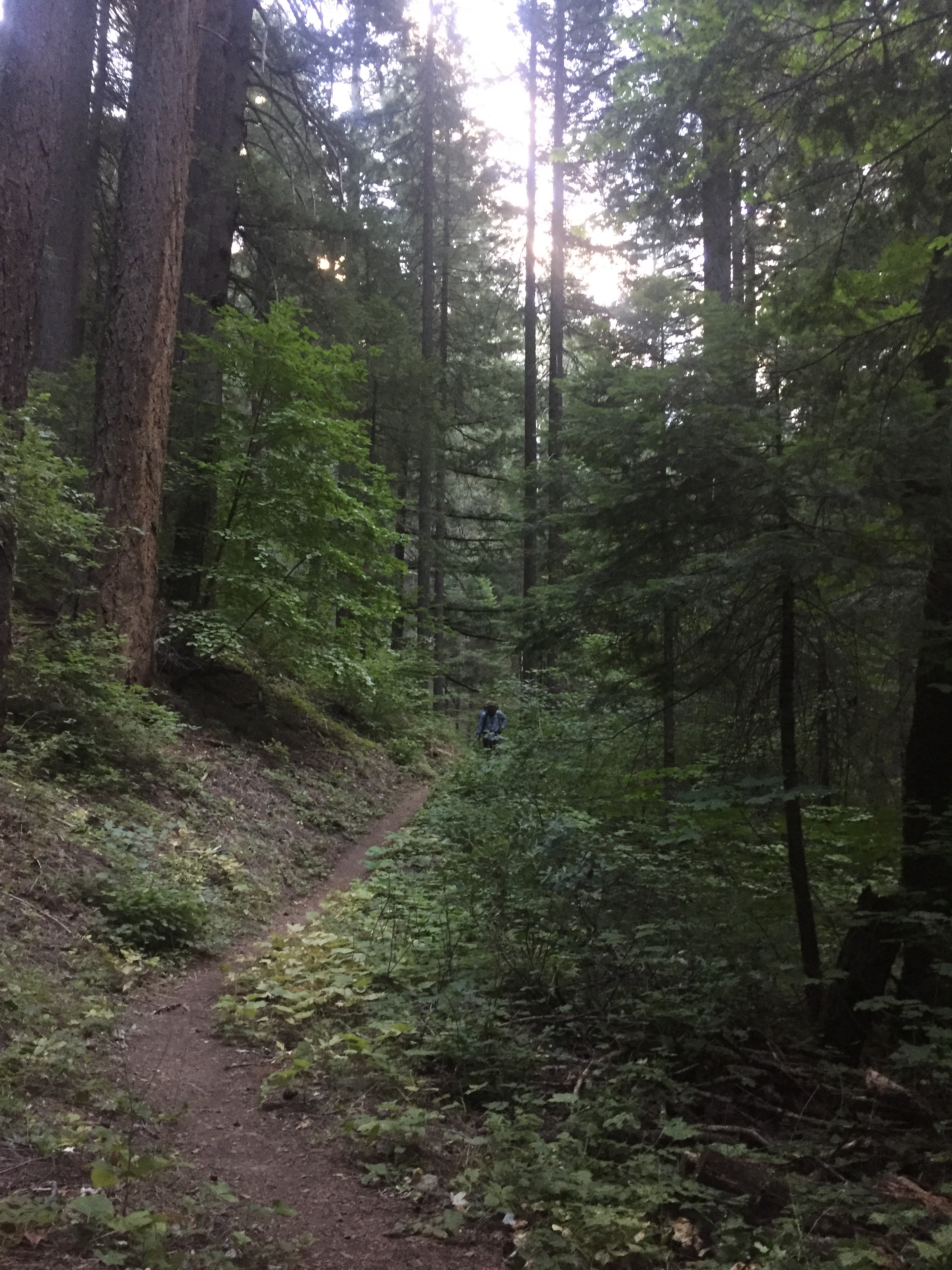
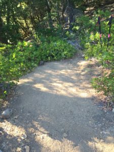
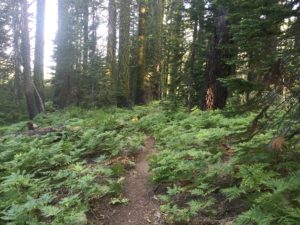
If you remember last week I started at this point and went south.  Today I am starting here and going the normal direction towards Canada.  The trail starts by going up for a bit but then changes into a very wide, very soft, and very flat trail.
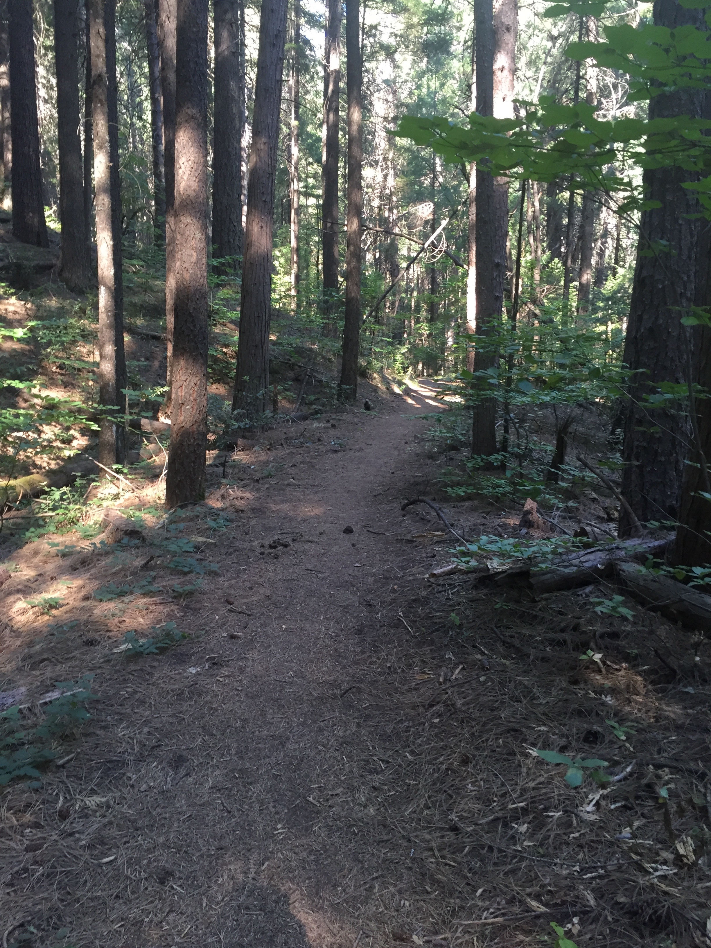
Love this trail. Wider than normal. Level. Soft


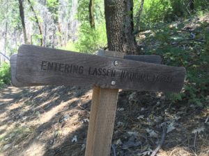
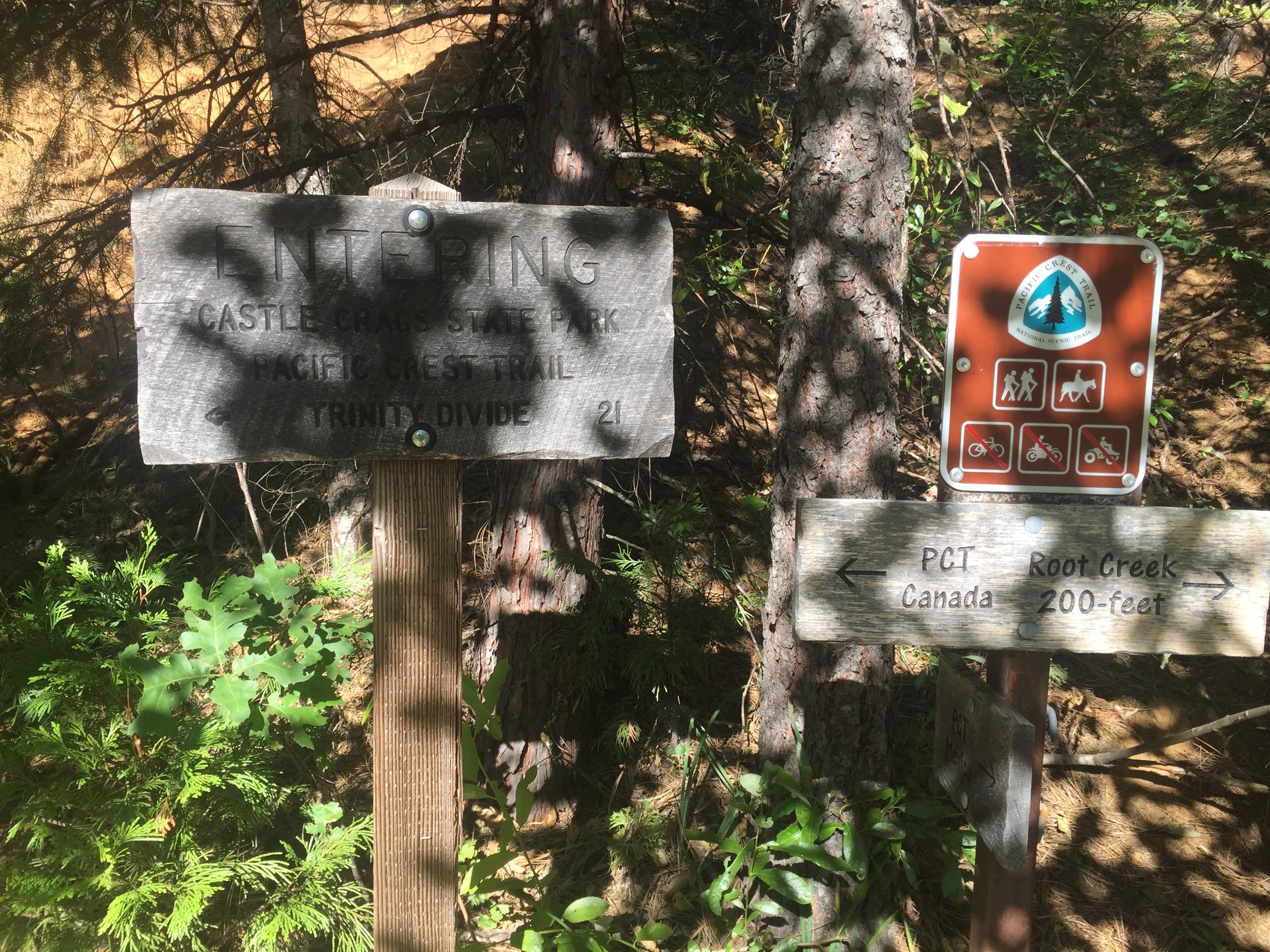
After about an hour I entered into the Castle Crags Wilderness and again wonder if I am still in the state park.  They like to tell you when you enter but not when you leave.
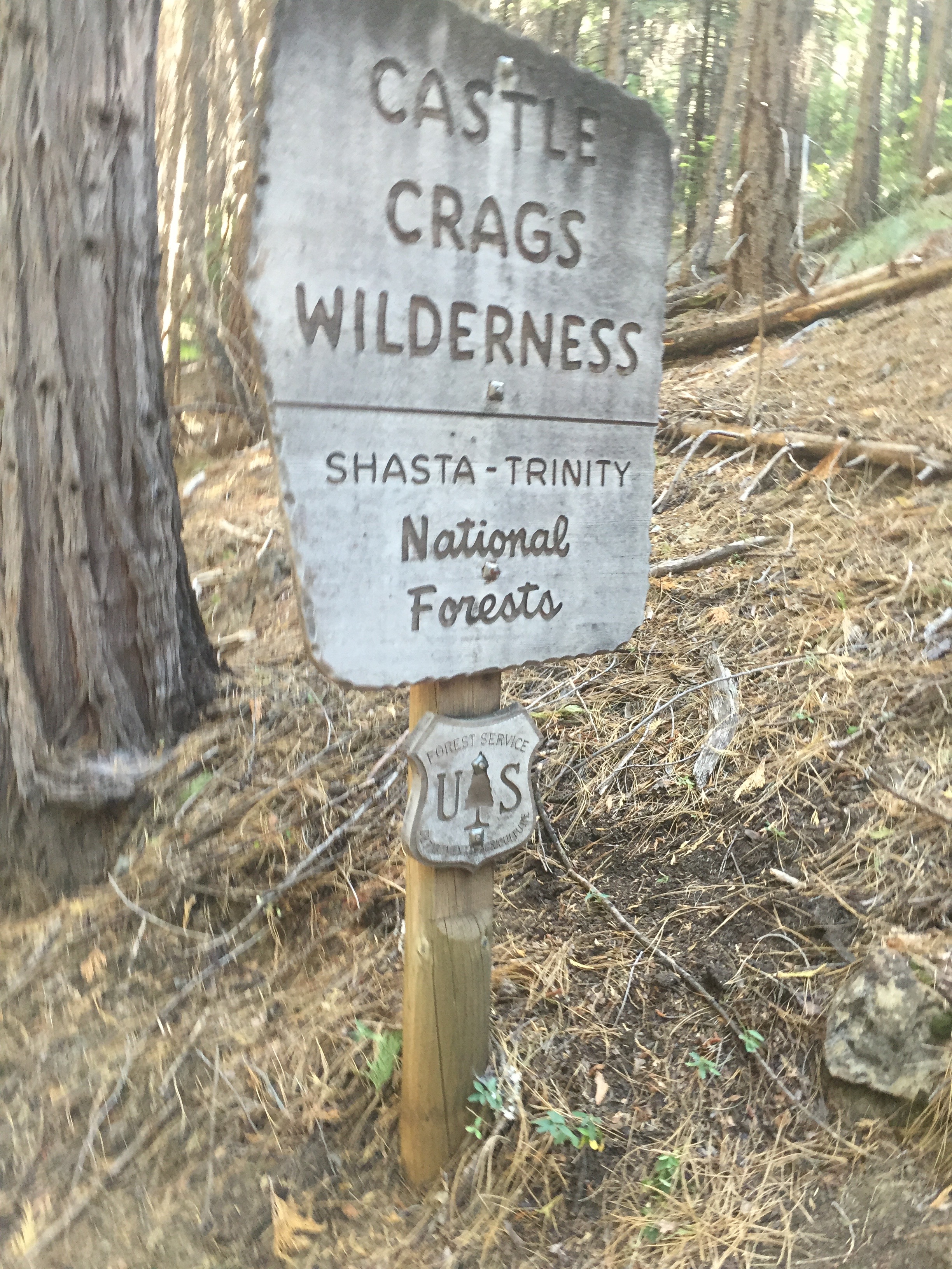
Into the Castle Crags Wilderness

Here is some information about the wilderness area taken from wiki.


The Castle Crags Wilderness is a 12,232-acre (49.50 km2) wilderness area in the Castle Crags rock formations of the Trinity Mountains, and within the Shasta-Trinity National Forest, in northwestern California. It is located in Siskiyou County and Shasta County, 40 miles north of Redding and south of Mount Shasta City.  The US Congress passed the California Wilderness Act in 1984 which set aside the wilderness.
Elevations of the Castle Crags range from 2,500–7,300 feet (762–2,225 m). The Trinity Mountains are a range in the Klamath Mountains System and the Klamath geological province.  The prominent spires in the southeast that make up the Castle Crags are the main attraction and are similar to the granitic rock landscape in parts of Yosemite National Park. In the northern portion of the wilderness, the landscape is more like the Klamath Mountains with glacial erosion, several cirques, and abundant rainfall with a high, east-trending divide. The area is bounded on the east by the Sacramento River, in the north by the South Fork Sacramento River and in the south by the canyon of Castle Creek and the boundary of Castle Crags State Park.

One roadless area of 1,732 acres (7.01 km2) borders on the northwest and contains the largest glacial cirque, Castle Lake, which is near where the Modoc War’s 1855 Battle of Castle Crags took place. Now a historical landmark (California Historical Landmark No.16), the battle was fought on a ridge saddle between the lake and what is known as Battle Rock.  The Wintu Indians who inhabited the area called the crags the Abode of the Devil and the Spanish explorers called it Castle del Diablo (Castle of the Devil.)   There are mineral springs at the base of the crags which were used by the early fur traders, and after the Southern Pacific Railroad was completed into the area, health resorts sprang up as well. The railroad touted the beauty of the West to increase ridership, improve the West’s image, and hopefully, sell some of its land holdings.
Sunset was a publication started in 1898 by the passenger department of the Southern Pacific Railroad Company that described various places in the West and was named after its Sunset Limited railroad line which went from New Orleans to San Francisco. The magazine’s description of Castle Crags is the typical, flowery writing style of that era:
“These are peaks of a spur of the Trinity range, that rise abruptly in towers and pinnacles, splintered and riven in all manner of fantastic shapes. With every slight change in the position of the beholder they seem to march and countermarch, advance and recede, until one is ready to believe them moving.”
The advent of logging and mining brought even more people to the area with some mining continuing until the 1950s.  In 1933, concerned citizens successfully worked to protect the area and were able to acquire much of the land that became the state park. President Reagan signed into law the California Wilderness Act in 1984 that protected another 10,500 acres (42 km2) and was added to the National Wilderness Preservation System.

The wilderness contains more than 300 species of wildflowers, including the Castle Crags harebell and the Castle Crags ivesia, both endemic, as well as tiger lily, monkey flower, and Indian rhubarb. Drier locations have yarrow, aster and buckwheat. Forested areas have incense cedar, white fir, ponderosa pine, several types of oaks with Pacific dogwood and maple in riparian zones. Meadows and brushlands have various kinds of manzanita along with huckleberry oak, chaparral and mountain whitethorn. Poison oak is common, as are rattlesnakes—dictating caution when hiking the trails.  Black bears, coyotes, bobcats and mountain lions are some of the larger predators in this diverse habitat of bare granite, steep slopes, meadows and mountain streams.


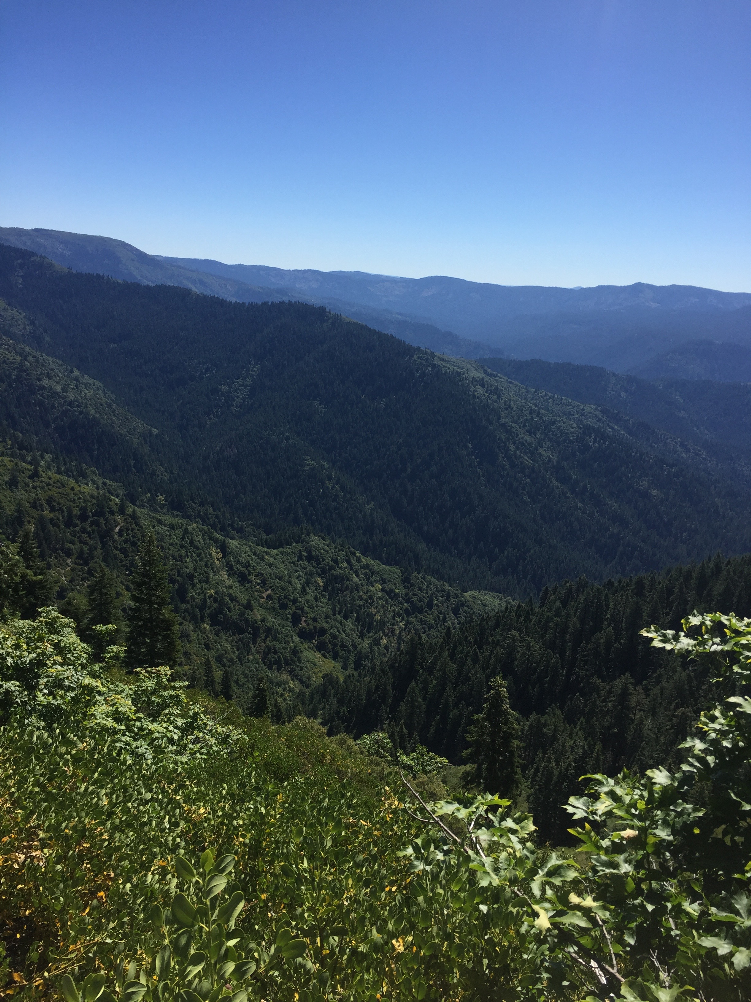
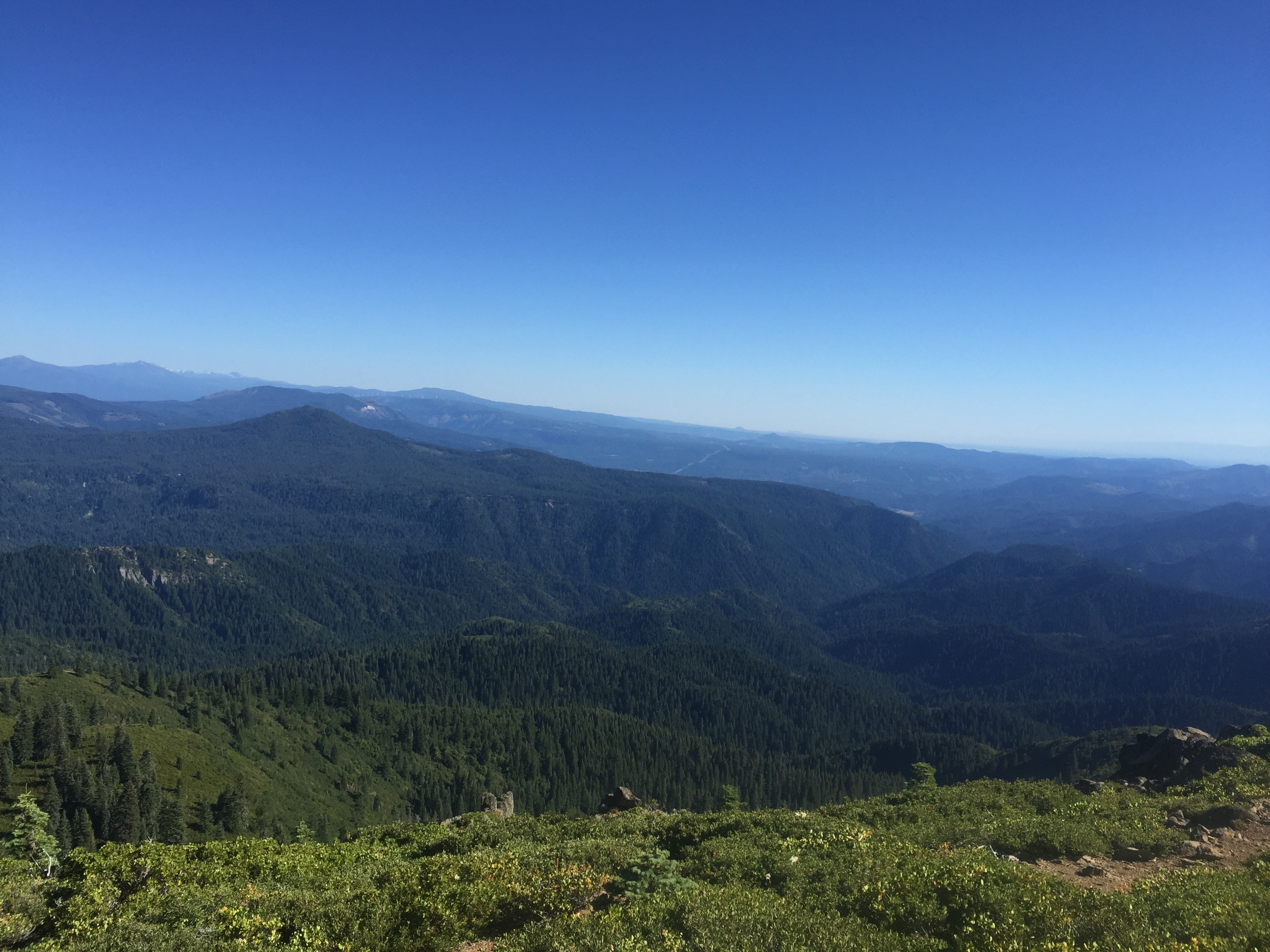
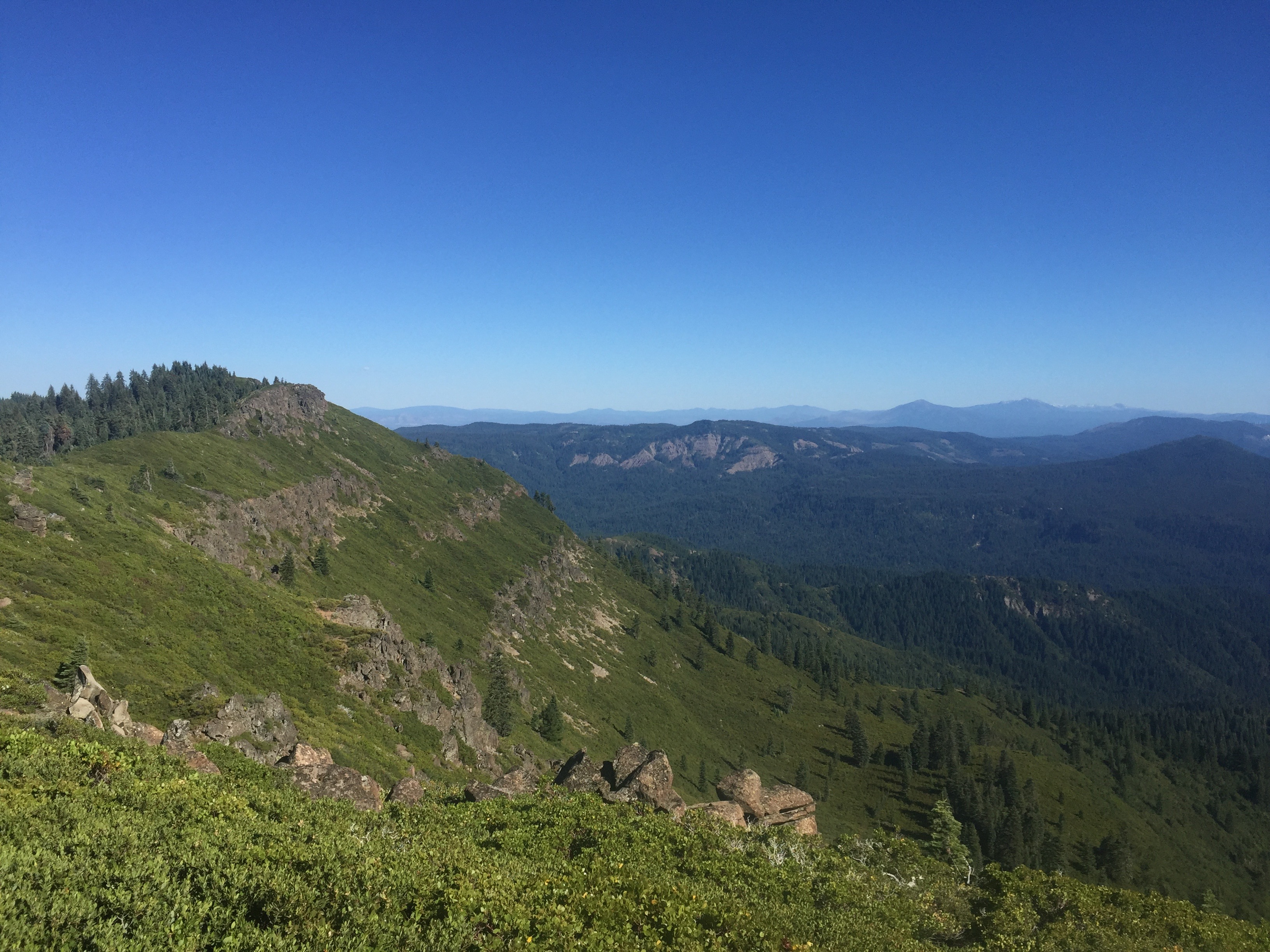
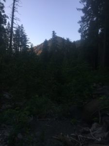
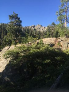
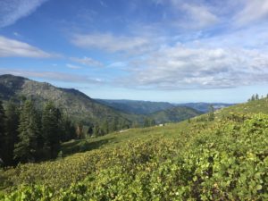
A beautiful area to be hiking.  Trees, trees, and more trees.  Castle Crags is in the distance a bit.  At least I think that is Castle Crags out there
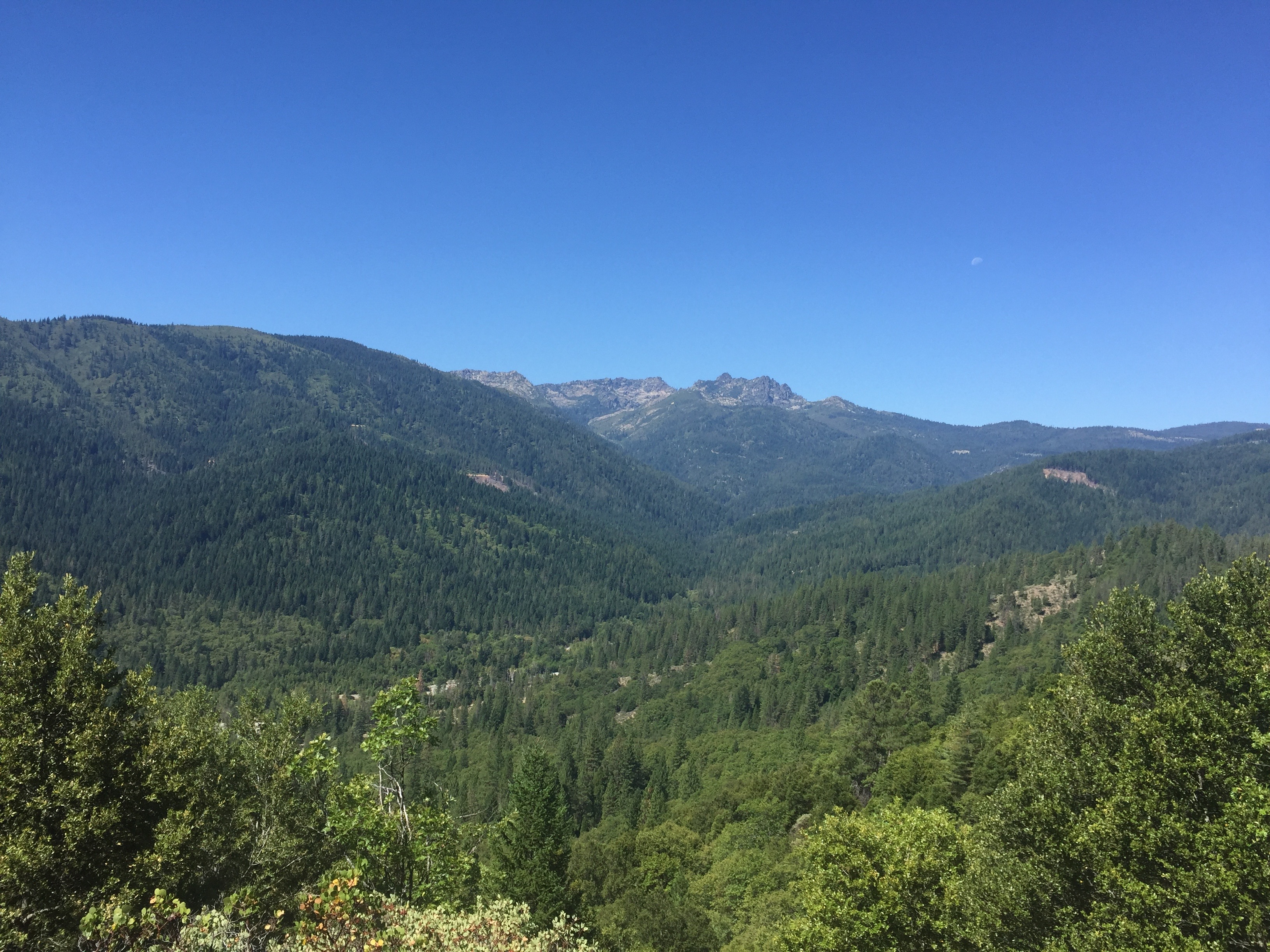
Long shot at Castle Crags


But then it is a lot closer all of a sudden so perhaps that thing about is just a bunch of rocks 🙂
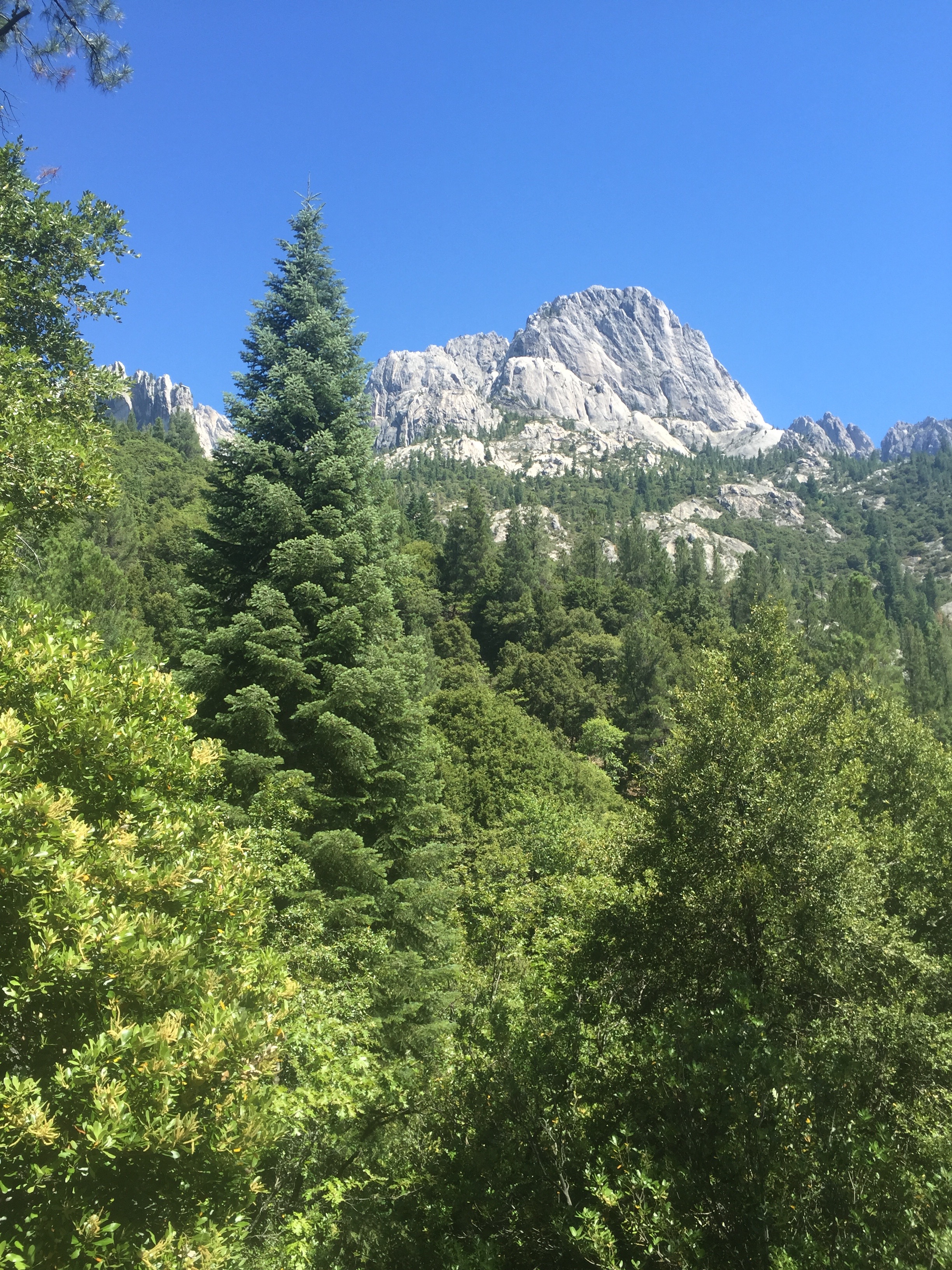
Getting closer to Castle Crags

So all day is spent getting to the base of Castle Crags and I decide to camp for the night.  What lies ahead is 4 miles of a very steep ascent and I will start that early in the morning.  Towards the end of the day I meet a young hiker gal whose name is “Fire Ants” because she had a couple issues with them while walking through the desert.  Fire Ants decides to stop as well.  Fire Ants loves to talk.  She has a German accent and indicates she is not really “legal” and so had to go off the trail for awhile to get her finger prints taken and she just got back on the trail that day.  I’m not really following the conversation actually.  I’m sure that is a shock for many of you.

The weather has turned really hot up here in Northern California and tomorrow is expected to be in the high 90’s  even at elevation.  I figure it won’t bother me that much.  I love the heat.  I would be wrong again.

Phone says 34000 steps and 41 flights
July 21 – PCT 1447 to 1433

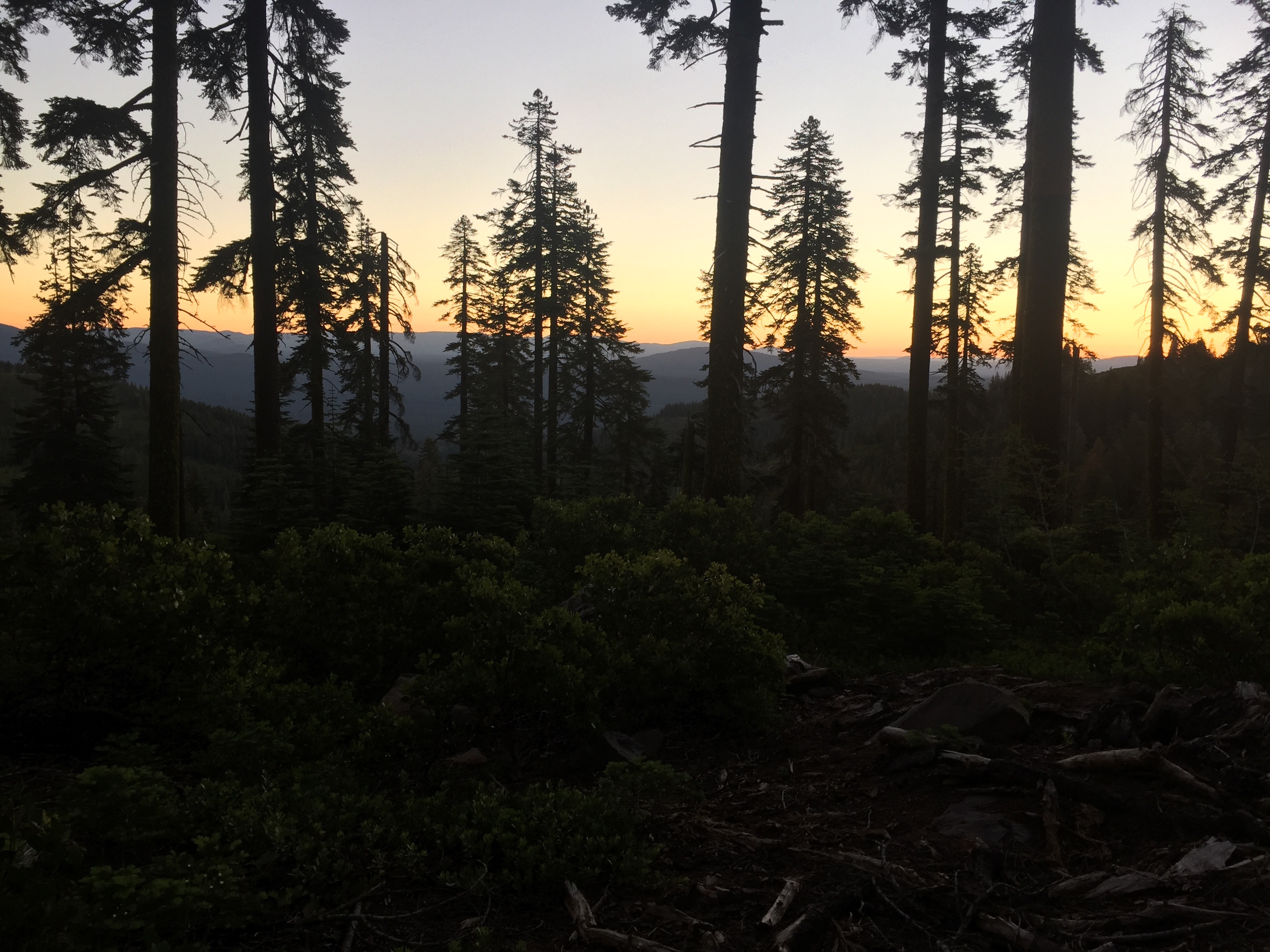
Slept late but got a good shot of the sunrise
Just love the early morning sun filtering through the trees

So I had a good night and actually slept later than normal.  Starting heading toward the water and I was looking forward to having some food.  About 6:30 in the morning I reach the creek and there is plenty of nice cold flowing water.   So I fill up the water holders and start boiling 2 cups of water.  I have Ramen Noodles with cheese cut in and with some olive oil and with some summer sausage.   While that was cooking and cooling I had two Carnation Instant breakfasts which seem to energize me more than anything else.   I eat the food rather slowly and towards the end I am already feeling nauseous but I was use to that and figured it would pass.  I pack everything back up and continue the hike.  The whole process takes about 90 minutes.  I wasn’t in any hurry really.

Not far down the trail I meet “Big Bird” so named because he is a rather large man and is a birder.  He is about my age and is doing some section hiking and birding along the way.  We talk a bit about birding and he gives me a tip of where to see a Calliope Hummingbird that he had just seen.  I was not aware that bird was possible here and thought it had to be a rare sighting.  However, I stopped where he had indicated and waited and sure enough there he was visiting the wild flowers.  Found out later it is not even considered rare.  Nice to see!!!

Not long after this my great meal was on the ground.  Just would not stay down.  This made a bit concerned and so I started wondering if there was a road where Lenora could get me.   What happened next was a series of bad communications and is rather embarrassing.   Lenora thought I needed extraction now come hell or high water and what I wanted was to get out if there was a decent road near by where she could get me.   Messages back and forth were missed and delivered late and in the final result Lenora made a super human effort to get where I was.  This was not easy because I was still hiking and trying to get to some decent road while she was traveling over every little jeep and logging road she could take.  At one point got to a ravine she could not get past and backed up to a place where the PCT crossed the trail.  As it turns out this point was about 3/4 of a mile from where I was.  I backtracked to where she was and proceeded to get upset because she had put herself in great danger and as it turns out broken some laws to get to where I was.  Not my finest hour to be sure.  By the time we got back to the hotel we had pieced together all the messages and how things had gone wrong and hopefully have learned something.   I asked for forgiveness.  She forgave me.  God is good.

Lenora’s Note:  It was a big day for me.  Started with missing the expected text from Alabama but caught his followup call and picked him and another hiker called Young Blood at the I-5 and Soda Creek exit.  Made it back to town in time for my Chiropractor appt. and he not only adjusted my neck but used ultrasound on my shoulders when he saw I could not lift my arms at all today.  He then called an Orthopedic Doc that he knows and arranged me to see him. Dr. F thinks I have inflammation in tendons of both shoulders and perhaps a cortizone shot would help.  I was just about off the round the clock advil for the inflammation from the dental surgery and now I’m back on that regimen.  Quick stop at the local craft store and a long talk with Martha who shares that her bird count is over 100 now with chickens leading the count followed by Guineas and now 5 new Turkeys.  She is a crazy woman.

Don pretty much summed up the adventure on dirt roads that were abandoned to the bushes and trees a long long time ago.  Since I never saw the “Do not come messages”,  I went on.  I was afraid the loggers would cut a tree down to fall on the car, or have me arrested or I would get stuck but thanks to John Wayne I knew what to do.  Something he said about courage being when you are scared but you get back up on the horse anyway (this is the week of movie quotes).  The end of the tale is that we found each other and both tired and emotionally drained we still considered ourselves blessed to have each other and to be together.  Morning readings this weekend will be all the sweeter for being shared.


July 20 – PCT 1465 to 1447

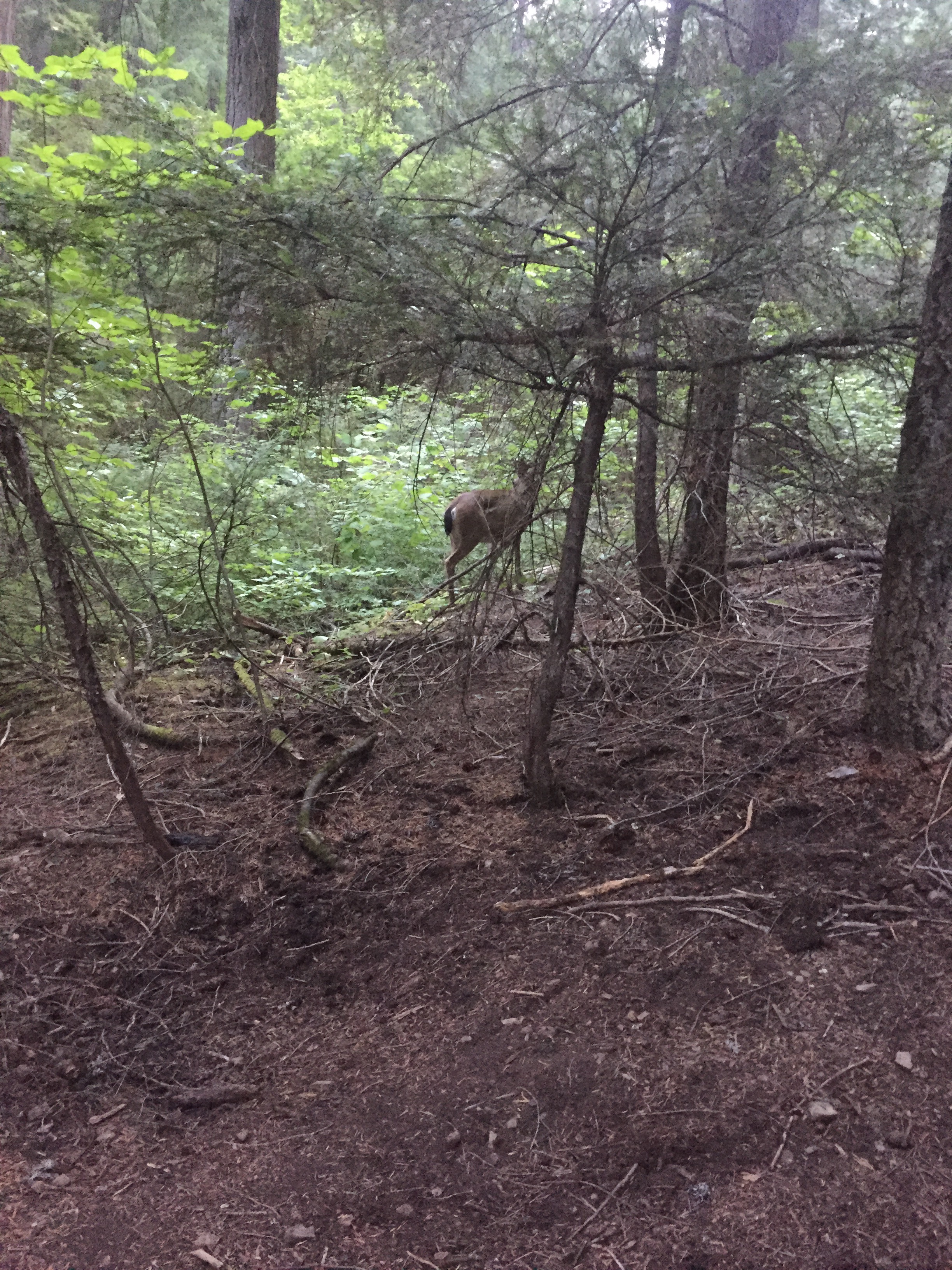
Deer greeting me in the morning

After a good nights sleep I woke up to this deer at the tent site.  I think the same deer was there last night just before I went to sleep and may have been there all night for all I know.  This was the day of the deer as I saw many on the trail and on the way down to creeks for water.  In addition to the deer here are couple other early morning shots

Sun through the trees
Same sun, slightly different view

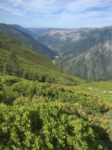
At mid morning I emerge from the forest and start hiking along an exposed ridge.  Beautiful views.

On the ridge looking down at the world

It is a little past this point that I make a curious and rather bad decision.  After 9.36 miles I come to the Gold Creek Trail Junction.  This is a junction that can take you 2/10 of a mile off the trail to get water.  So I sit down at this crossroads and weigh my options about going and getting more water.   Looking at the halfmile application the next water on the trail is 10.5 miles away.   While sitting I try (and am successful) in eating some summer sausage and I think about it.

  • I have 4 liters of water left.  At least I thought I had 4 liters.  As it turns out I only have 3 but I think I have 4.  I have drank more from the camel back that I had thought
  • Generally they say you only need a liter for every 5 miles.  So I should have enough.
  • For the last couple miles I have been exposed to sun and that looks like it is going to continue
  • It looks like the next 10.5 miles has a lot of up’s and down’s
  • It is the heat of the day
  • I know from experience that when it is hot and when going uphill I need a LOT more water than the recommended liter for 5 miles.
  • If I make it 10.5 miles it will be the longest day I have done so far
  • If I don’t make it 10.5 miles, I will not have enough water for the evening meal
  • It is only 2/10 of a mile to the *&@&@*(@ water.

The decision is clear.  I decide to keep on hiking and skip getting more water.  NO!!!!!! WHAT IS WRONG WITH YOUR BRAIN!!!  ATTENTION, ATTENTION, ALL RATIONAL THOUGHT HAS LEFT THE BUILDING.

I have not gone half a mile and I am already rationing my water and only taking small sips.  This just slows me down and keeps me in the heat even more.  At 5:17, I take the following picture.  Very pretty but very much like the picture taken at 10 in the morning.

Pretty much same ridge. Same pretty view
Same time. Same ridge. different angle

At about 6:30 I am two miles away from the water and have about half liter of water left and I am beat.  Just don’t think I can make the next two miles and so decide with the water left I will camp.  It is enough to get me through the night and in the morning I will have more energy and it will be cool and I will be able to finish the two miles and eat when I get to water.  That is what I do.  I stop and camp for the night.  There was only 1 camp site at the water location and I figured that site would be taken and then I would have to continue…

So I have done 18 miles.  I am thirsty.  I should be hungry but the thought of eating makes me ill so it is probably, I’m thinking, a good thing I don’t have enough water to give it a try.  In the morning I will be fresh and feel more like eating.   I can hear Scarlet O’Hara from Gone With The Wind saying “I’ll think about that tomorrow”.

Phone says 49000 steps and 78 flights.

Lenora’s Note:

Morning shoulder pain so hot shower followed by sitting still followed by trip to the hotel hot tub followed by sitting still.  Prescription made it to the drug store and I even drive the block to pick it up, followed by more sitting still.  Good news is Chiropractor again tomorrow morning and maybe that will help.  As Scarlet said above, …..tomorrow….

July 19 – PCT 1481 to 1465

The night was beautiful but as mentioned the sleep was not that great.  Get an early start in the morning.  It is really still dark and I use my headlamp for about the first hour.  I am shocked to meet a couple along the trail that was also already up and walking.  I only take two pictures during hike today.  One rather early trying to catch the trail and the early light and the other when I stopped by a creek.  In the early morning picture you can see that it shows another hiker on the trail walking toward me.  I honestly do not remember him at all and when I saw him in the picture it was a big surprise.  He almost appears to be posing.

Early morning trail. Surprised to see another hiker in the image

At mile 1468 I get to Ash Camp and McClound River.  This is a beautiful area and the river is large and has a bridge going across it.  I  have no idea why I stopped taking pictures.  I should have had many from this area.  It is about 2 pm and so perhaps my brain has just shut  down.  Lenora and I had talked about her meeting me here but for some reason I was just not sure we had a solid date.  When I got here there was a rather large group of other hikers but they did not appear to be interested in having company.  Or, more likely, perhaps I did not feel like having company.  It is a lot easier to blame them, so I will.  Anyway, I sit down in an open area by the road coming into the camp and start to prepare a lunch.  I really don’t want to eat but know that I must.  I get it half prepared and leave it sitting there for a while attempting to get the nerve to choke it down.  While I am waiting up drives Lenora!!!  YEA!!!  So cool I am at a place where she can reach me and she has come.  She comes with cold root beer and cookies.  Now for some reason I can drink the cold root beer (2 of them) and the cookies (4 of them) but the cheese and salmon on a tortilla just looks horrid.  There was also a chocolate mint which I had no trouble eating.  Lenora and I stayed there for about an hour.  We shared some of the magic (cookies and drinks) with another hiker (Obi-Wan) who was very appreciative.  We tried to offer some magic to a couple other hikers  (in the group mentioned earlier) as they went by but they either did not hear us or choose to ignore us.

Lenora’s Note:  I woke with stiff shoulders again but Don decided he wants his cheese and a cold root beer so I load up the cooler and add the mint candy we bought in Quincy and some oreos.  Off I go to Ash Creek camp missing the message that says, “I guess you are not coming.”  Blissfully unaware that we might not meet I go on.  Roads are paved most of the way and the short unpaved sections are well graded.  When I arrive Don is sitting staring at a tortilla with thick slabs of cheese on it.  I’m delighted to see him but note he looks tired and sore.

I had another long 10 mile ascent ahead of me and I knew I would not make the top but wanted to get some of it done.  I  hiked for another 3 miles or so and stopped at Butcherknife Creek.  Another beautiful spot.

ButcherKnife Creek. Camping spot

As I was just sitting admiring the view another hiker past by me, went ahead a little bit, then turned back and ask if it was ok for him to sit and rest for awhile.   Everyone always asks.  The answer is always of course YES.  Anyway his name is Alabama (cause that is where he is from).  He decided to do the trail after high school with a buddy of his.  His buddy quit after 5 days but Alabama kept on going.  Really nice young man.  He indicated we wanted to spend a day in Mt. Shasta and asked if it was hard to get there.  Not at all I said and I gave him Lenora’s number and told him to call when he got to Interstate 5 and she would be happy to pick him up.  I then texted Lenora to warn her she would get a call from a Southern Gentlemen. Alabama looked at me and said “Now that is trail magic”.  I had to agree.  We talked a bit more while he ate a candy bar and then he went on as his destination for the night was Ash Camp.

So I had a 16 mile day.   Not bad but not great considering how early I had started.   Lunch stayed down.  Dinner that night did not.

Phone says 34000 steps and 33 flights.  That ain’t much!

Lenora continues:

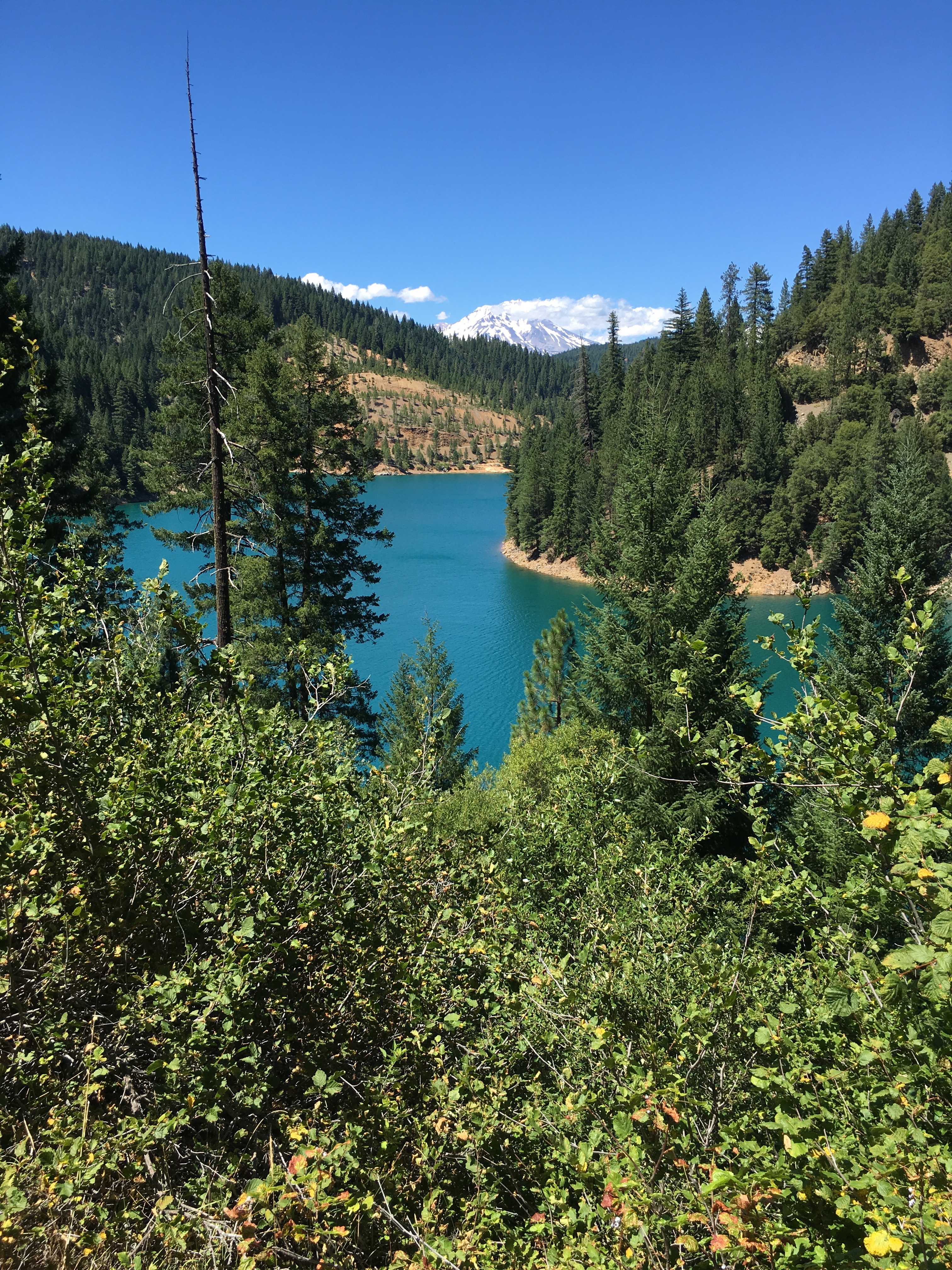
After leaving Don at Ash Camp I take a leisurely drive back down the mountain and get some great views of McCloud Lake.  This lake is an incredible color that the pictures fail to capture, but I tried.

Glimpses of McCloud Lake from the road always happen where you can/t pull off but even with much of the lake hidden it is spectacular.

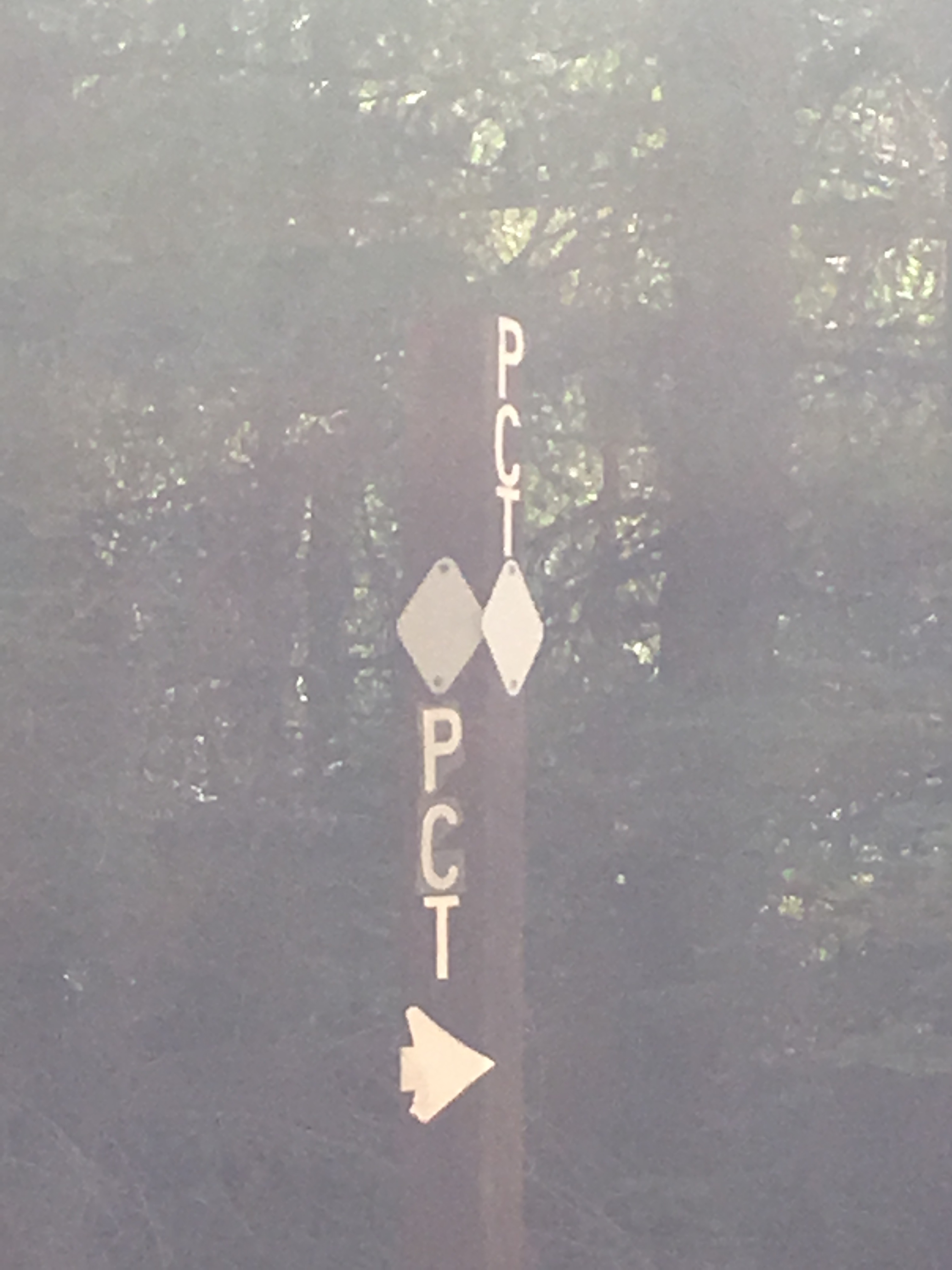
On the way down I cross the PCT on a paved area of the road and wonder why we couldn’t meet here?

PCT crosses my road near Lake McCloud

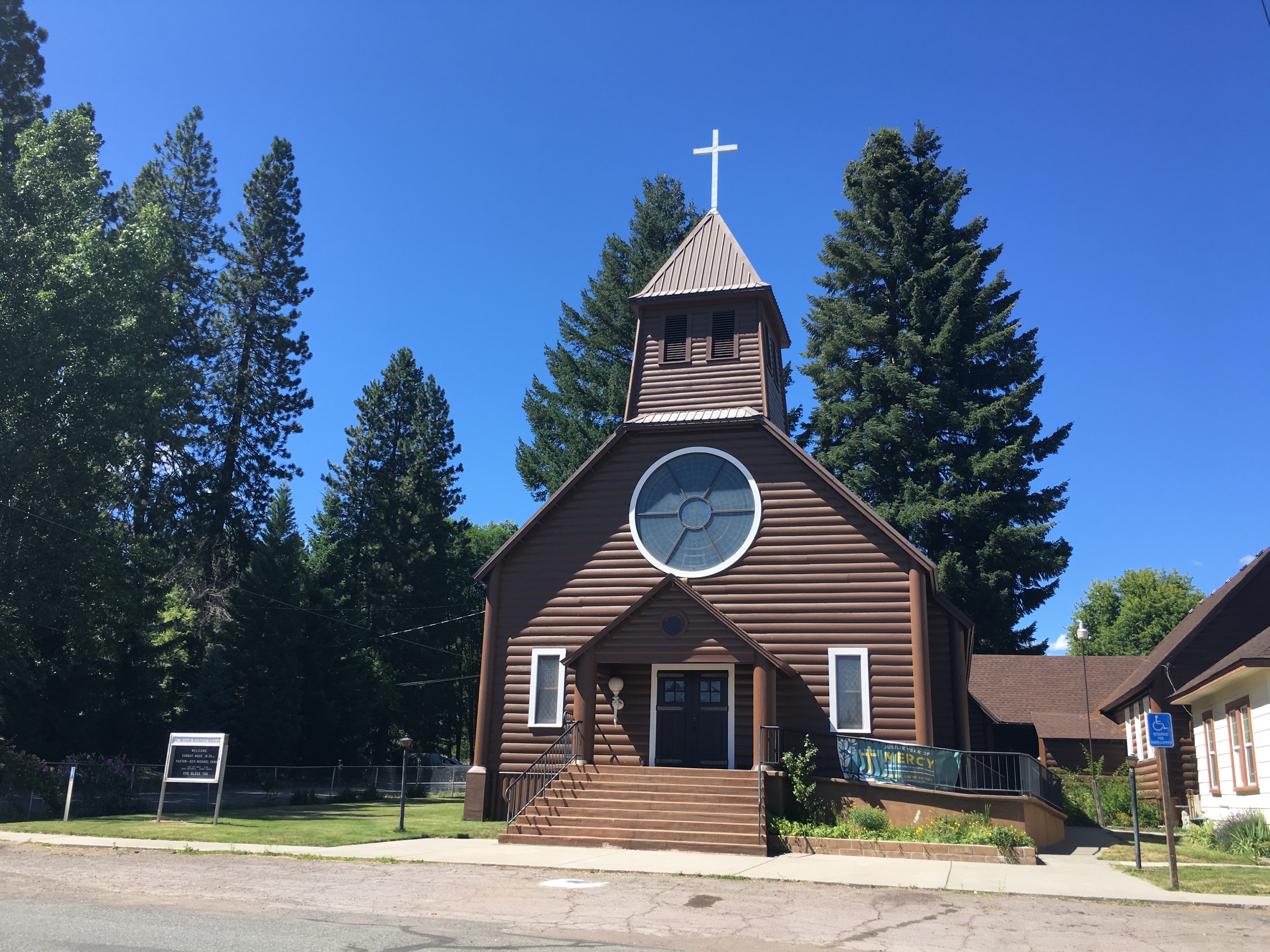
We will not stay in McCloud but I wanted to check it out and found St. Joseph Catholic Church easily.

St. Joseph Catholic Church, McCloud, CA

Today I finished the second of my unfinished needlepoints, It is called Witch Hilda’s Tree and the spider webs took about as long as the rest of the piece to stitch.

Witch Hilda's Tree.  Class in 2014 completed today.
Witch Hilda’s Tree. Class in 2014 completed today.

Framed up my next unfinished project “Witch on the Town” but couldn’t raise the energy to stitch.  It was a full day.

July 18 – PCT 1499 to 1481

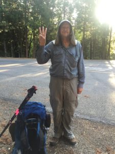
Start of week 3
Start of week 3

As I look at the picture above I just start laughing as I think:  This is the best I am going to look this week.  It only goes down hill from here.

So I have high expectations for this week.  I believe I have my trail legs back and I will be able to do greater distances per day and I thought I would have shaken the head cold.  As it turns out I have not shaken the head cold and it has moved to my chest and so now I have a thick wet cough as well.  I don’t feel bad at all but it does interfere with my breathing a bit.

As mentioned at the end of last week, this week I am starting where my plans had me ending for the week and so I am going to be hiking from north to south.  I am starting at mile 1499 and will go south as far as possible.   I left off at mile 1329.  There is no way I am going to do 170 miles but I am hoping for a good week.  It should be interesting to see some of the people that passed me and I’m sure some of those people will be a bit confused that I am now going the “wrong way”.

As with most weeks the trail starts with an ascent.  This one goes on for about 9 miles but is fairly gentle and I handle it without too much issue.  One of the first hikers I run into is one I had not noticed before and he stops and we talk.   When I ask how he is doing he says at least I am going downhill and indicates I have a long climb ahead of me.  He indicates he has done 30 miles the last couple days because there was not much to see.  I sort of smile and agree almost implying that the only thing holding me back from doing 30 miles a day is the scenery!!!   As I start walking again I chuckle at the thought.   Not too long later I see “Rant” again.   He looks at me and indicates he remembers me from earlier and wonders whats going on.  I tell him and we talk a little more.  Turns out he is retired military after 21 years of service and he is on the trail and likes to stop and talk to the people he has been defending for the last 21 years.  He was in artillery.   I thank him for his service!!   The next person I meet is “Cheapest Option” and she remembers me and is also confused.  I explain what I am doing and chat a bit and then go our different directions.  If I ever meet her again I will ask the obvious question.   Here are a few pictures along the way

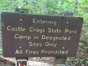
I enter but I have no idea when I left and have no idea where any designated sites were
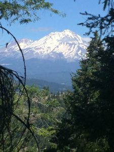
Mt. Shasta
Mt. Shasta
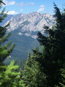
Castle Crag
Castle Crag

I get to a beautiful expansive view where both Mt. Shasta and Castle Crags are in the same view.


Towards the end of the day I pass over Squaw Valley Creek which has a nice arch bridge going over it.

Bridge over Squaw Valley Creek
Looks easy enough. Big arch
Squaw Valley Creek
Squaw Valley Creek

There is a nice sitting area around the creek and so I decide to eat my dinner here and then go on to the next camping spot.  It is a good idea as it gives a little more energy for the climb from the creek.

I go on for about a mile and find a really nice LITTLE camp site.  It has been an 18 mile day.  I feel pretty good.  Here is my camp site just big enough to accept my tent.  There is a smaller place just below where I can sit and admire my surroundings.

Tent site. Perfect for my tent
View from the tent site

So I have my tent set up and I am doing a little reading and on around  8:45 or so another hiker comes to the spot and stops.  I can tell he had hoped to be able to camp here but there was only really room for one.  The next camping spot in either direction is about an hour away and it is starting to get dark and I can tell what is going to happen and it does.  He asks if I would mind if we try to make room for him to camp here.  Of course I say yes, there is really no other thing to say.   I expect he is very close to my age and I can see the “I can’t take another step” look in his eyes.   We are able to make enough space but the two tents are cheek to cheek.  I tell him how Lenora and I are doing the trip and he thinks he and his wife could do the same thing.  He indicated he skipped about 100 miles in the High Sierra because of snow and he was afraid he was going to get hurt and that maybe later in the year he and his wife could do that stretch together.  I did not tell him but really in that section he will only see his wife at the start and at the end.  There really is no other option in the section he skipped.  Anyway he tells me he has a bad blister on his foot and so has lost touch with this group as he was walking too slow and that he had lost 40 pounds.  Now I lost 40 pounds last year BUT I had 40 pounds and more that I could loose without any issue.   That was not the case with him. He was very very thin.

I did not sleep well this night and I got up earlier than normal.  I tried not to wake my neighbor and he did not say anything but there is a certain amount of noise that happens when packing back up that can not be avoided.  Before I starting hiking I said a prayer over him in his tent asking that the Lord would, if it be His will, heal his foot and help him gain weight.

Phone says 45000 steps and 43 flights.

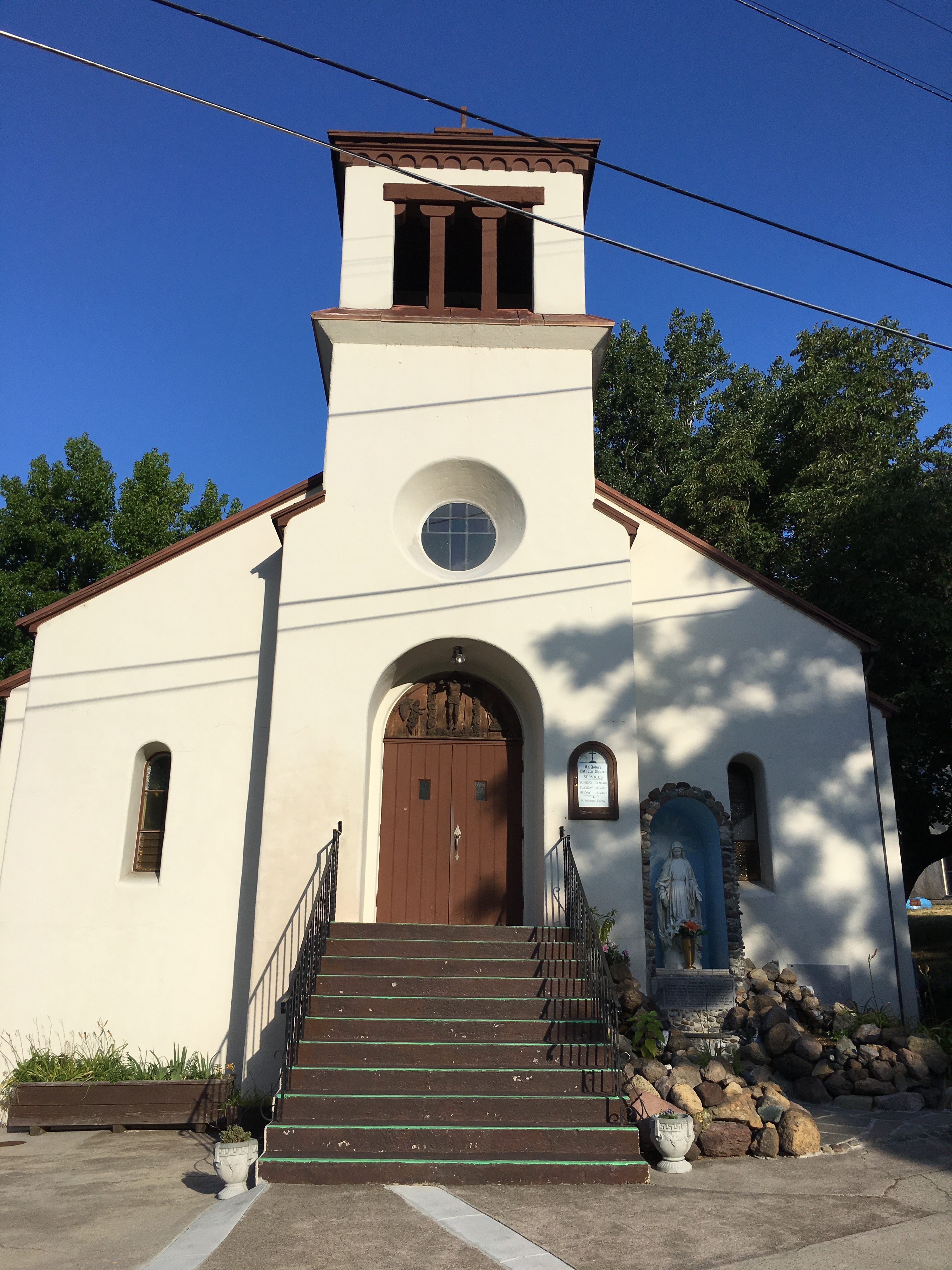
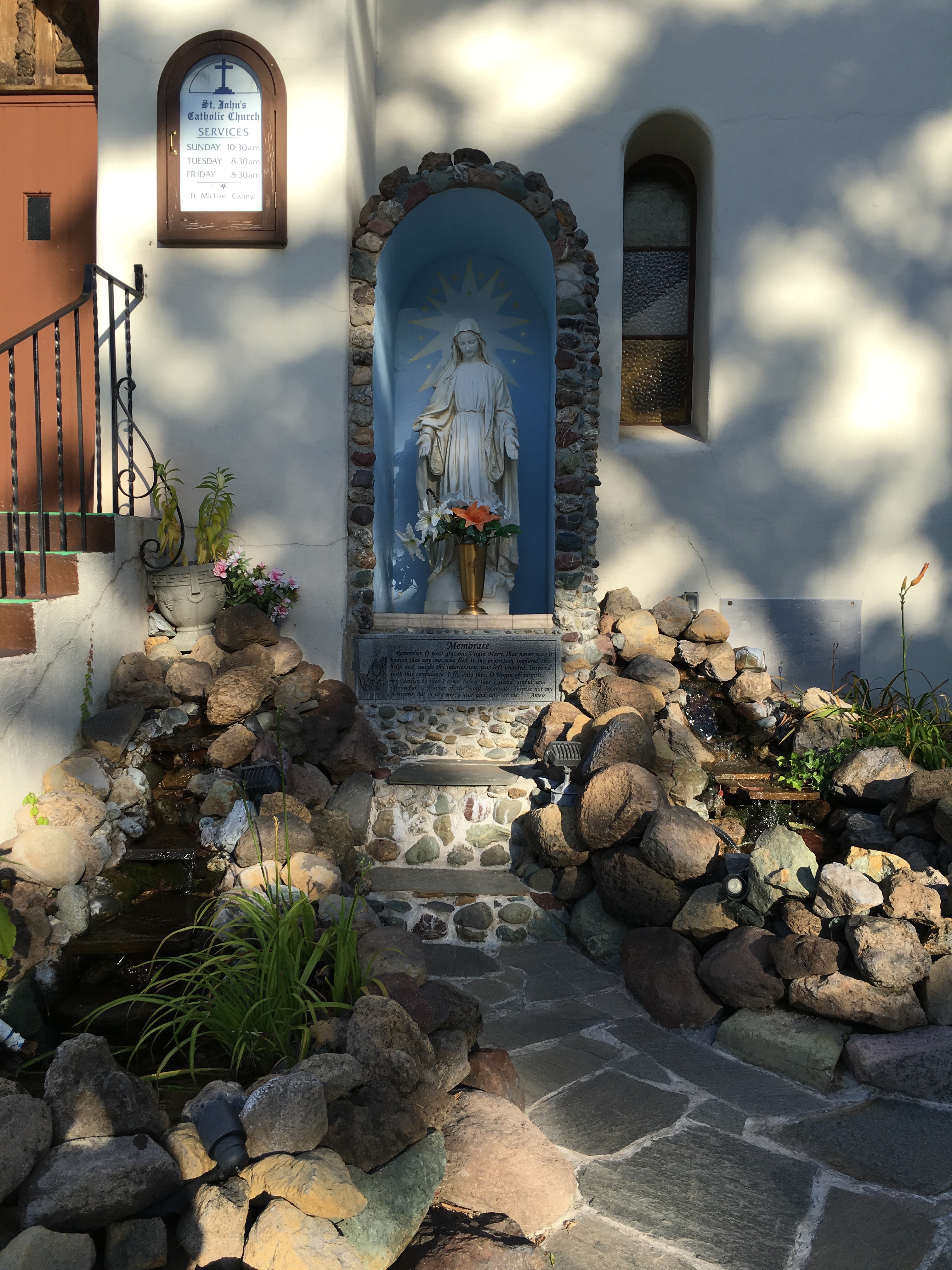
Lenora’s Note:  After dropping Don at Soda Creek I decided to go by the place I was supposed to stay this month in Dunsmuir and thank the owner Louie for finding my wallet.  I visit with him for a few minutes and he recommends some ‘short’ hikes in the area for me to do, my favorite was one I could take to meet Don on the trail for lunch.  It was ‘only’ about 4 1/2 miles hike into the picnic spot.  I was laughing inside as I smiled and thanked Louie.  I am not up for a 9 mile round trip up a mountain for a picnic lunch.  While in the area I sought out the church I would have attended had I stayed here.  It is a lovely little building with a very inviting Mary Grotto outside with running water.

Catholic Church in Dunsmuir, CA
The Mary Grotto at the Dunsmuir Church.

My Chiropractor appointment with Dr. Fritzke is in the afternoon and I find him very personable but he does the manual neck twisting technique and I find I liked the drop table better.  Yet I think this is helping so I ask to return Thursday for another treatment.

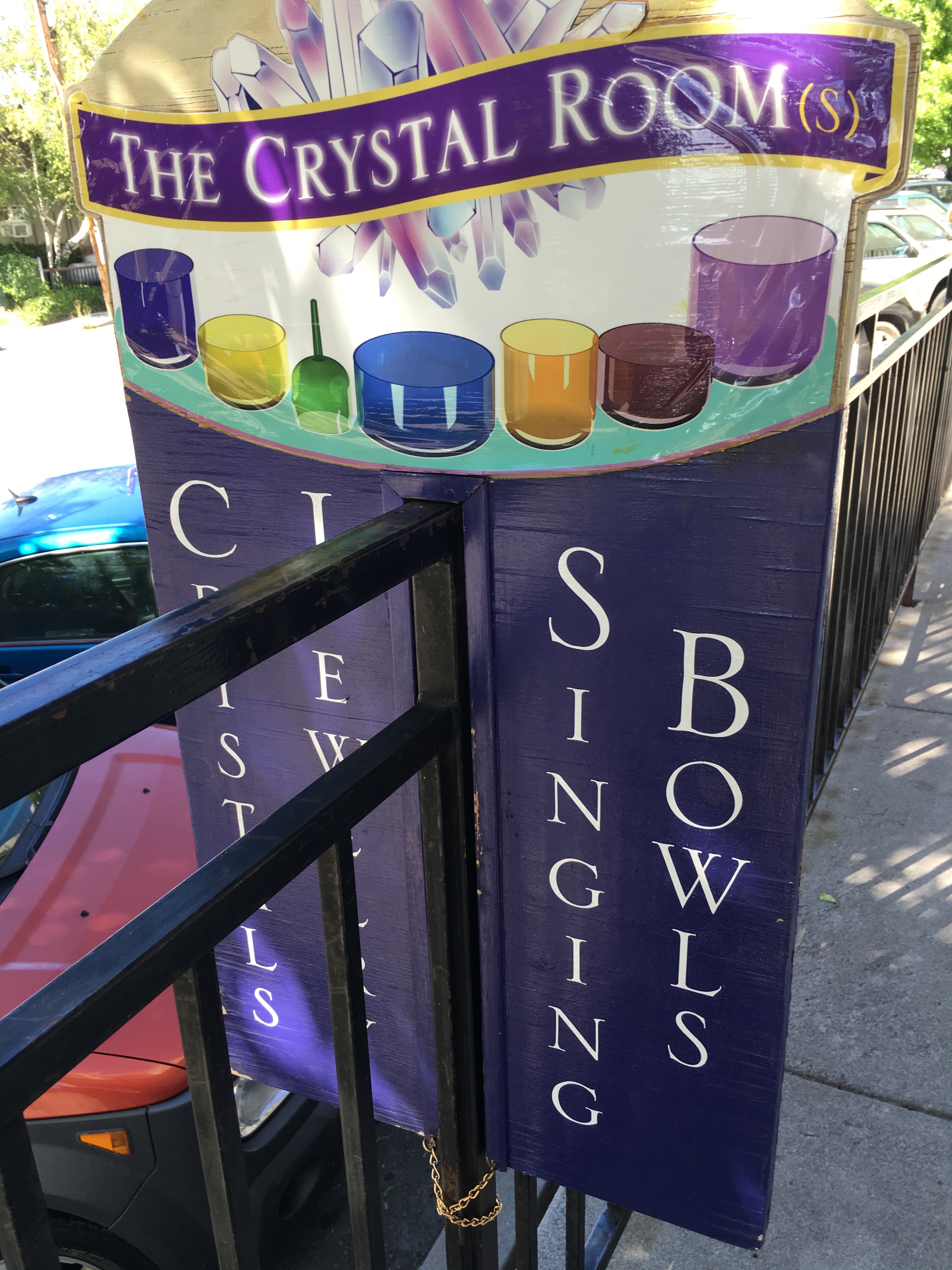
Feeling pretty good I decide to explore the downtown a little.  Mt. Shasta is a pretty little town chock full of New Age and Buddhist influences.  A couple of photos of one of the many little shops.

New Age Crystal Shop, one of many on main street.
What is a singing bowl? I do not know but it has something to do with the crystal culture.

Also found both Craft shops in town and bought the black beads I used on the Witch Tree.  Other shop was closed so a reason to return later in the week.


July 14 – PCT 1321 to 1329

The start of Thursday

Thought I only had 7 miles for today but I have 8.  Most of it is downhill and it does not take long to do it but I do take my time and do some birding along the way.  Actually all along I have been trying to notice birds more because I am in areas where I may see birds I have not seen before in my life and certainly this year.  If I could bird by ear I am sure I would picked up many new birds but if I happen to hear a bird, I then have to find it to figure out what it is.  With this head cold I am not hearing hardly anything and totally relying on seeing some movement ahead of me.

Apparently most of the PCT herd has already passed me because I do not see anyone on the trail today.  I expect I am between groups and that when I return next week I will see a new group of people.

I have some general pictures of the trail to show some overgrowth, some rocks, some trees.

Hard to see but I am really glad they did clear this section. Lots of fallen trees
Limbo anyone? Nope. remove pack and crawl under
Overgrown trail. At times could not see where I was stepping
A little rocky... but not like John Muir Trail
A little rocky… but not like John Muir Trail
Starting to move into different area? First sighting of pumice rocks

So I missed my mark by a LOT this week.  Next week I plan on starting further north where I am suppose to end next week (near Mount Shasta) and then walk the trail from north to south to see how much of it I can take in.   Might be kind of funny and people that past me this week might run into me going the other direction next week.  I am looking forward to it.  Today as I write these posts my head cold is almost gone and I feel like my trail legs are kicking in.   Everything is as it should be and God is good.


Phone says 18500 steps and 7 flights
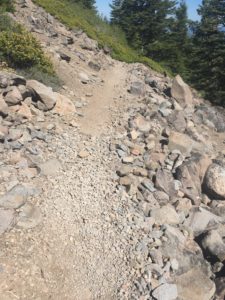
I’m complaining about a head cold?? Look at this

Lenora’s Note:
Don says he will be at the pickup spot about noon, but he is always early so I start early and take what I expect to be the shortest route. This path takes me through Lassen Volcanic National Park. It is incredible and I hope I can get Don to return to the hotel this way. Spectacular but I don’t tarry as I am burning daylight on the twisty roads and slow speed limits.
When I find him he has found a woman who needs a ride and we are off to Chester, a delightful little town. We do return to Hat Creek through the Volcanic Park and enjoy the sights.

July 13 – PCT 1306 to 1321

Start of the day on Wednesday

Another great night.  Boring huh??  Always a great night.  The weather has just been perfect.  The nights have been clear and cool but not cold.  No worries of rain and so the tent is not covered.  Would not be using a tent at all except for the numerous bugs that seem to want to crawl on me.

Today is the day of couples on the trail.  Generally you just do not see people hiking together even if they are together but today there were numerous walking together couples both passing me going north and south bounders.  After 5 miles I get to the point there is probably want just one third of a mile off the trail with an elevation change of 300 feet.   I decide to make sure I have enough as the weight does not bother me as much as being thirsty so I take down 3 2-liter contains to fill.  As I head towards the water I think this is more than one third of a mile and more than 300 of elevation change but worth it if there is water.  When I get to the stream there is indeed water.  Lovely cold clear water.  I fill up the containers and then I decide to “camel up”.  So I drink 2 liters of water on the spot and refill the container and carry the 6 liters back to the pack.  It is actually quite difficult to drink 2 liters of water by the way.   On the way back up  there are 3 other people going down to get water.  They each look to be getting 4 liters of water.  When I get back to the  top I decide to have the breakfast I did not have when I woke up because of lack of water.  The other folks come back up and each of them complaining it was more than one third a mile and more than 300 feet.  I just started laughing.  I wondered if it really was as advertised and almost decided to measure it but then decided I did not care that much.

You can tell by the picture below that water might be a bit scarce around these parts

Still early in the day
Still early on Wednesday. Obviously I am a morning person. Never take pictures after noon
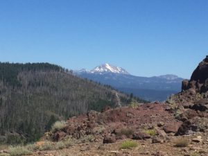
Thought I was looking at Mount Shasta but turns out it is Lassen Peak

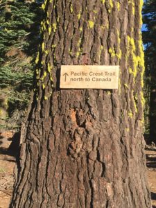
There just are not very many signs on this part of the trail but the one below was nice to see.  Not only on the trail but heading in the right direction!!  I am direction challenged.  I got one of the first Garmins and always carried it my car.   At one time my brother in law (Garthe) asked why that thing was always on and didn’t I instinctively know where north was???  I told him that yes indeed I did usually know where north was but that I was frequently wrong.

Always nice to get confirmation

A bit closer look at Lassen Peak which I was sure was still Mount Shasta.

Getting closer to Lassen Peak

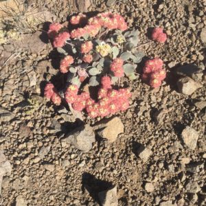
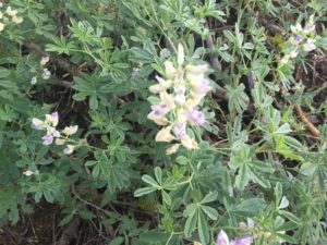
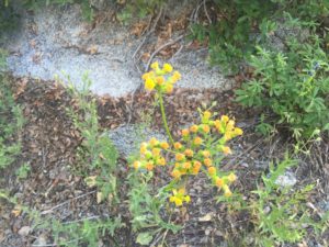
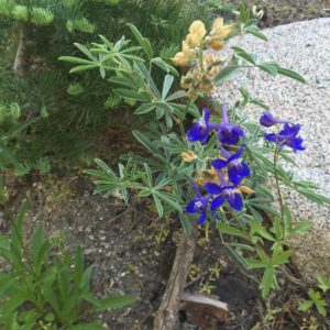
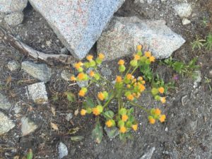
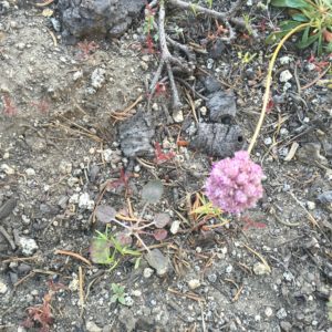
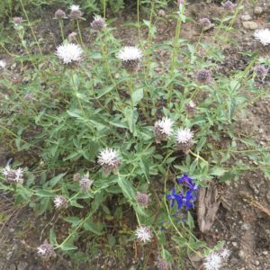
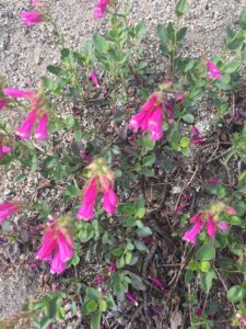
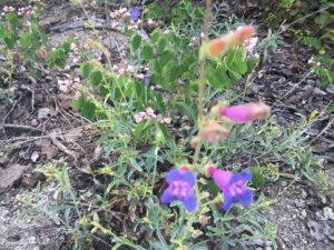
And of course you need to see some flowers from the day

Ok... Wow... there were a lot of this flower but this was was more yellow that most
Ok… Wow… there were a lot of this flower but this was was more yellow that most
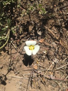
The yellow busting out of the green caught my eye
Just pretty
Just pretty
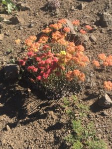
Amazing flower. Changes color and yet this plant seems to have them all at once
Just pretty
Just pretty
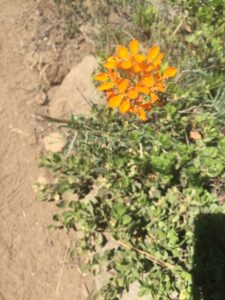
Orange always gets my attention

Towards the end of today a much anticipated milestone was reached.  The Mid Way Point of the PCT.  Half way between Mexico and Canada.  People start thinking and talking about this as far back as Tahoe, anticipating the great event.   I knew I was getting close and I started imagining what mile 1320 might be like.   I figured there would be a welcoming committee and for sure there would be a bar and grill.  I thought I would order an XX-Molson beer and an enchilada covered with Canadian bacon.   You know something to celebrate the two borders.  I even considered changing into my least offensive hiking clothes.   Approaching mile 1320 I could see that the trail did not even get any wider and the only thing there was a 2 by 2 cement post with the words PCT mid point OR some such thing.  Frankly I was so disappointed I can’t even remember what it said for sure.  I was glad I did not bother changing my clothes!!!  I suppose if you are walking a wilderness trail then you must have wilderness type expectations.  The southern terminus and the northern terminus of the PCT are also rather unimpressive.  So I went on for another mile and camped for the night.

Feel good about doing 15 miles with a head cold.  Not going to make near as far as I had hoped this week however and because of the head cold Lenora will be picking me up tomorrow after about only 7 miles at Hwy 36.

Phone says 49000 steps and 46 flights
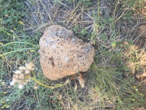
Lenora’s Note:
Happy Birthday to me. I have a good place to stay, the cats are happy and my wallet is where is belongs. I am beat. My shoulders and arms are very sore and I don’t have the energy to find a chiropractor so I spend a quiet day reading, napping and watching TV. Donald wants to be picked up tomorrow and I’m ready to see him.

July 12 – PCT 1293 to 1306

The start of the day on Tuesday

Of course my night (after sorting out that Lenora was ok) was another beautiful night looking at the stars.   Yesterday I only met one person on the trail and her trail name was “Cheapest Option”.  No, I did not ask if she always chose the cheapest option or she was the cheapest option.  Just did not seem the right thing to do.  She was surprised I had not seen any body else and today I find out why.  I am passed by at least 20 other hikers today.   I did not really talk with any of them as this is how it went

Them: Sir we are behind you

Me: Ok sorry and I move over

Them: Thank you

and off they go, most of them never to be seen again.   I am actually starting to feel stronger but I also now have a raging head cold.   Sneezing, ears plugged, nose stuffed, mouth breathing all the way.  Today is the day of crossing streams (without bridges) and they are not massive streams but also not streams that can be jumped over.  Most of the time it is just easiest to walk right through the stream.  I can tell by the water on the trail that others are doing the same thing.  So it is a day of wet feet BUT actually it does cool down my feet and so feels rather good.

A real stream with no bridge. Got my feet wet.
Another stream. Feet wetter

There is also evidence that the terrain might be changing as there is volcanic rocks about but still most of the walk is within the shade of a forest.  Really appreciate the shade and it is a bit hotter that normal here this week.

Definitely starting to look a bit volcanic

Early in the morning go through a really nice meadow and have some nice flowers along the way.

Really pleasant meadow in Lassen Forest
Given a little bit of dirt, a pretty flower will grow
Just pretty
Just pretty

About the middle of the day I stop to rest at a road crossing and a car  comes by and stops and a lady gets out with two dogs and proceeds to put a pack on.  She sees me and comes over to talk and she is training to do the PCT in 2018 when she is going to retire.  Says she is just going out for a quick 6 mile hike.    We talk about the trail a bit and then she offers me a nice cold root beer out of her car.   Wow, what a difference that makes.  A cold drink, some fruit or a candy bar and a PCT hiker feels renewed :).   She tells me the water is about to stop and that when I get to Cold Spring I should load up on water because it will be dry on the trail for the next 19 miles.  Glad she mentioned it because I had been walking through so much water I did not imagine the trail would suddenly go dry.  I did load up with water and had a good meal at cold spring BUT when I stopped later and looked at my water it had all turned brown.  Somehow something got into the water when I drew it from the spring and I was not sure it was drinkable.  I had about a half liter of good water when I stopped.  The guide said there was PROBABLY water in about 5 miles if I was willing to hike to it.  I was going to be willing but that was going to be tomorrow.

I feel good about the day.  Head cold and all.

Phone says 34000 steps and 70 flights
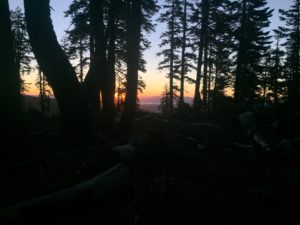
Lenora’s Note:
Tuesday 7/12 PCT
Lady at desk says the metal roof keeps people from getting the wifi and I should sit out in the clearing on the big log. That was where I tried the sat phone and I still can’t send a message on Inreach. I am told that there is cell service about 3 miles south at the vista pullout. Down I go to call Michaels but they do not have my wallet. Get back and remember gas is low so head north to nearest gas station. As I’m leaving a white haired fit looking 60 something woman is setting a full hiking pack next to the road. Gas station busy and slow yet when I get back the lady is still there facing north with her hitchhike hand out. I pull into the hotel lot then decide to go meet her. After all I can’t find my wallet and I’m too agitated and upset with myself to do much.
Her name is Sonia and she is hiking the PCT and will take a ride as far as I am willing to go. Her true destination is where I was yesterday a 2 hour drive away not counting the road work delays. She starts telling me a ride to Burney Falls would be great as she wants to see the falls and thinks I would enjoy them but first she would like breakfast and would like to treat me to breakfast as thanks for the ride. We head into breakfast and as our food is arriving I realize I have a message from Cave Springs and listen to Louie telling me they found my wallet and I should call.
Of course my call doesn’t go through so I use Sonia’s phone and tell Louie I will come for the phone today. The motel I need to get to is about 12 miles from Mt. Shasta which is where Sonia is hoping to reach today so we suddenly have a plan; drive north, stop and see Burney Falls (and take the mile hike up around the falls) then head to Shasta Town and a motel my new friend can stay in for a couple days down time.

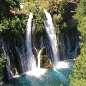
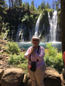
This is Burney Falls
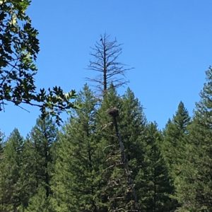
Osprey have people going crazy over the eagle nest.
Lenora at Burney Falls, Thank you Sonia
Leaving my new friend at her hotel in Mt. Shasta

By 4:30 or so I’m picking up my wallet at the motel in Dunsmuir and headed back to Hat Creek Resort. By 6:30 a very tired Lenora is settling back in the room after a session in the parking lot trying to send messages to Don.
And the Adventure continues.

July 11 – PCT 1284 to 1293


Start of week2
Start of week2

After a nice weekend it was time to start week 2 of 2016 on the PCT Trail.  Lenora dropped me off and I started to hike the first trail I saw at about 8:45 in the morning.  Now  the phrase “first trail I saw” might have you wondering.  I mean really how could there possibly be two trails at this point.  No way….. right???   Yes way.   The trail I took led straight up the mountain and after awhile I said “Don, this does not feel like the PCT trail.  Too steep.  Too narrow.  Poorly maintained”.  So I took out my phone and brought up my PCT application and sure enough it tells me I am NEAR the trail but not on it.  Perhaps the GPS is just off a bit, so I keep on going and give it a chance to catch up to my location.  Again it says I am NEAR the trail.  OK…. so I get out my binoculars and I look back down the mountain and sure enough I can see a trail back down where I started that goes west rather than up.   So I wind back down the mountain and sure enough on the other side of the mill where I started there is another trail.  By the way there are no signs on either trail that it is THE PCT trail but as I walk this trail my application does think I am on the PCT and advancing in a positive direction.   About an hour and a bit of energy has been wasted.  The nice thing about the correct trail is that it is basically level for about 4 miles before I enter the Lassen National Forest and start climbing.

Here are some pictures along the way.

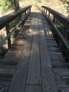
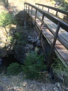
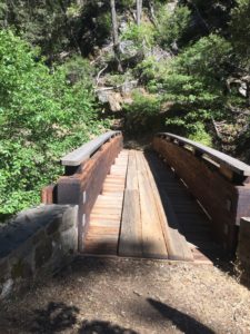
These folks in Northern California are nice. Always building bridges
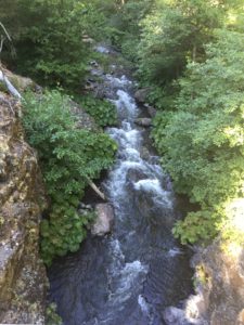
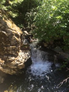
Just a nice spot along the trail. Little waterfall into a little pool. Tempting.
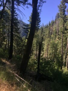
Trail appears to be going up there
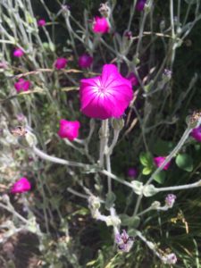
Pretty
Pretty
So these appeared only once on the trail.
The Lassen National Forest. Have not heard good things about this section

So as I enter the Lassen National Forest I recall a conversation I had with a very young lady hiker last year at Tuolumne Meadows.  She had gotten to the High Sierra at the same time there were some freakish spring snow storms.  So her and others got on a bus and went up to Tahoe and hiked from Tahoe to Ashland Oregon and then bused back to Tahoe to hike south in the High Sierras in the better weather.  She indicated that Lassen National Forest was the hardest section thus far for her for two reasons.  First it was very rocky and second that trees were down every where and they had to keep figuring out how to get past the trees in the trail.  But she smiled and told me that since it was a National Forest she was sure it would be cleared by the time I got there in about 4 weeks.  I did mention she was young and probably thought the government worked fast to fix these things.  I suppose a year later they MAY have removed some of the biggest trees….. I suppose….. but the trail still has a lot of trees down across the path.  Most of them by now do have a path up or down the slope to go around them OR you can crawl over them.  At least I can crawl over them.   Not sure how someone with shorter legs gets along.  The trail is rocky in some sections but not near as rocky as the John Muir Trail which the young lady had not experienced yet.   I will say that this section through the Lassen National Forest is the most poorly maintained thus far.  The trail is at time overgrown with plants.  At one point I thought I needed a machete to try and cut through the bush which actually ripped things off the top of my pack.  I am NOT complaining.  This is why they call it a wilderness trail!!  Just making an observation.   It is still unbelievably beautiful and I am blessed to be able to walk along it.

Most of the day I had been concerned about Lenora.  After dropping me off she had a 3 hour drive to Castella where she was suppose to stay for about 30 days.  I had been promised a cabin would be ready for her but still the long drive and the fact that this was not a chain but a local business had me worried.   I asked her to text me when she was settled and that text never arrived.   By the time I stopped I was worried.  I can not do the story justice and I will let Lenora explain in her section but basically the cabin was NOT ready and would not be ready in the near future and so Lenora had to find a new place to stay.   The fragments of the story I am getting has me thinking that Lenora has no place to stay and has lost her wallet.  Half of that story was true.  The wallet was lost but she did have a place to stay.  A place that had no phone service and no internet service and therefore she could not reach me.  I was talking with my limited texting ability with the local owner and wanted to crawl through the InReach and beat him to death.   Finally Lenora was able to drive another 20 miles from where she was staying and get some service to let me know she was OK, but with a lost wallet.  The local owner claimed the wallet was not left with them but then at the end of the next day did find the wallet and Lenora went back to pick it up.

Phone says 31000 steps and 84 flights
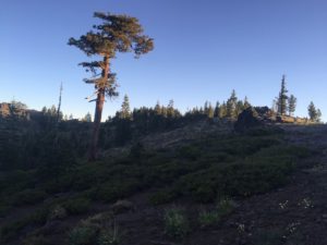
 

Lenora’s Note:
7/11/16 PCT
Dropped Don back at Belden and started 3 hour drive to Castella/Dunsmuir. IMG_0566
Watching him walk away again, wish I’d realized he was not on the right trail :).
Stopped in Chico to buy beads and some watercolor pencils. Enjoying the break. Arrived at Castella around 1:30 (not 12) met Louie Dewey and learned the remodel is not done. Saw the place and it was scary, dirty, junky, yucky. Water heater had leaked flooding bedroom, two different leaks in bathroom, junk and dirty carpets (remember orange shag?) and dirty furniture everywhere and front door wouldn’t unlock and back door couldn’t be locked. Louie had arranged a hotel room for me for one night on the assumption that all the work would be completed by tomorrow. Boys and I went into the hotel room and I got on computer and phone. In about an hour I had found a room in Old Station at Hat Creek Resort from tonight till Monday morning. Loaded computers and cats back into car, turned in key and headed toward Old Station. It’s about 3 pm and a two hour drive with roadwork going on so I don’t tarry. The check in desk is in the camp store and I need to be there by 6 pm.
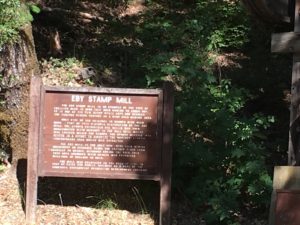
The Eby Stamp Mill.  The PCT is to the left but .....
The Eby Stamp Mill. The PCT is to the left but …..

IMG_0568

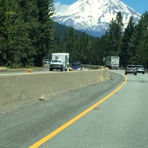
Mt. Shasta through the windshield of the car.  My version of not tarrying.
Mt. Shasta through the windshield of the car. My version of not tarrying.

Arrive about 5:30 and reach into my pocket for my wallet. In pocket are four cards and no wallet. One is credit card so I check in and unload car to discover I have no internet and no phone service. I have sent messages to Don from the road but Inreach is acting up and his message when I get it makes it clear my messages have not reached him. In parking lot I try to use sat phone but we are in the land of tall trees, thick forest and the phone can’t hold a satellite signal so I can’t call. Send several 160 character messages on Delorme (Inreach ) with no idea if they are going through. Get in car and drive about 20 miles before I have two bars on phone and call Cave Springs where they promise to look and call me back. I can’t leave in case I lose my phone signal so I sit until about 8:30 then call again to be told no luck – no wallet found.
Now I try Michaels but have moved car and lost signal so I drive around till 9:15 or so trying to get through to someone, anyone really.
Then return to hotel thoroughly discouraged. Fall asleep with tv on.
By now I know the trick is to roll with the punches and I have come out of this pretty well, except for the lost wallet but rolling and telling others you are coping fine is not so easy when the other person is out of reach and doing his own version of panic. In spite of all I have landed in a beautiful place and can look forward to a good week.

July 8 – PCT 1272 to 1284

Another wonderful night under the stars.  The best camping spot thus far and I will have to start taking pictures of them.  Only possible issue is that I woke up and my sleeping pad had lost all its air.  Either a leak OR I forgot to close it completely.  I’m beginning to think it is not good to leave hiking equipment idle for too long.

Todays sunrise

IMG_1365

And then a little later this beautiful scene of early morning sun on the trees.

IMG_1366

Often times I find myself walking among ferns and it always makes me smile as I know Lenora would love it.  She is a big fan of ferns

IMG_1377

I only have 12 miles to go today to get to Belden.  Most of it pretty easy but the last 6 miles is pretty steep down.  Descending from 7000 to 2200 feet.  Here are some pictures trying to show the start of that descent

IMG_1380 IMG_1386

Here are some wild flowers seen along the way today.

IMG_1371 IMG_1368 IMG_1369 IMG_1371 IMG_1370 IMG_1378 IMG_1376 IMG_1375 IMG_1374 IMG_1373 IMG_1372 IMG_1382 IMG_1379 IMG_1387

I reach Belden by 1 pm and Lenora is already there waiting for me.  Belden is right by Hwy 70 and the North Fork of the Feather River.  It is apparently quite a hot spot for young vacationers and the tents were packed in side by side.  As far as I can tell Belden consists of a bar and tents and a river to lounge in.

Lenora’s note:

One of the lessons to be learned.  When the PCT crosses a highway it rarely picks up straight across and it does matter if you are on the correct side of the highway.  I pass by Eby Stamp Mill and wait for Don and wait and wait.  I get concerned that I’m in the wrong place and walk around looking for a clue.  Just before my pull off on the right there was an old bridge crossing the river and lots of young people partying on the river bank.  I was pretty sure that wasn’t my goal so I went by but after my short wait I saw a guy in a bright orange shirt on the bridge and would have waved but he did not have a backpack.  Well it was Don and he had dropped the pack to walk over to the highway to look for me.  Once again we meet up at just the right time.

After his very rough uphill day he had been making good time and I am feeling better about things as I realize he was actually several hours ahead of goal in getting to the pickup spot.

I stitched a lot today and made a lot of progress.  When my hands go numb or shoulder hurts I just use the heating pad and stretch.  It doesn’t cure anything but it seems to help.

We have 3 days to enjoy Quincy area together because he made good time and all is good.

We eat great food at Sweet Lorraines, go birding, eat at the Knook, do laundry, rest, watch tv and repack.  The photos following are a record of some of our fun.  We also explore the candy shop and find some great treats.  Chocolate and wine is good but the wine bar serves a rich port and chocolate (we brought our own) and port is even better.

Mass on Sunday is great.  St John the Evangelist Catholic Church has a great pastor; Father Borlang.  He is one of those born teachers and loves to make a personal connection with the parish and to use humor.  I loves his teaching on the Good Samaritan and being a good neighbor.  One of the great gifts of our adventure is the chance to meet a new parish and priest every week or two and be welcomed into a wide variety of small parishes.  There couldn’t have been even 50 people there this morning and yet everyone was so friendly.  Last year I was taking pictures of all the churches we visited and I am sorry I did not think to do that this week but will keep it in mind.

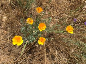
California poppies delight me wherever I find them
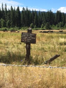
We birded here on Saturday. No new birds but a good time. Lots of places, including a mountain are named after this ranch
Looks like a perfect home for a bird but seems empty
I like ferns
I like ferns
This bit of folk wisdom was under the glass top table at our lunch at The Knook

Turns out I have a picture of the Quincy Church from last year.

Saint Johns Catholic Church