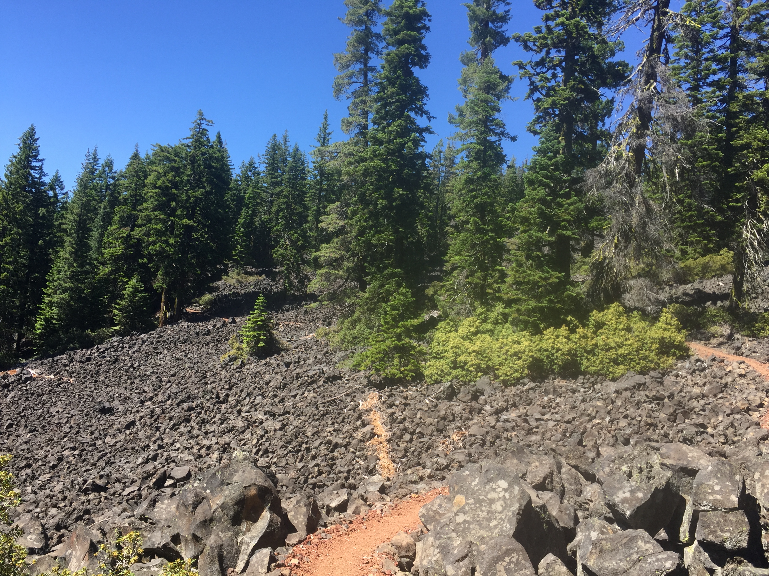
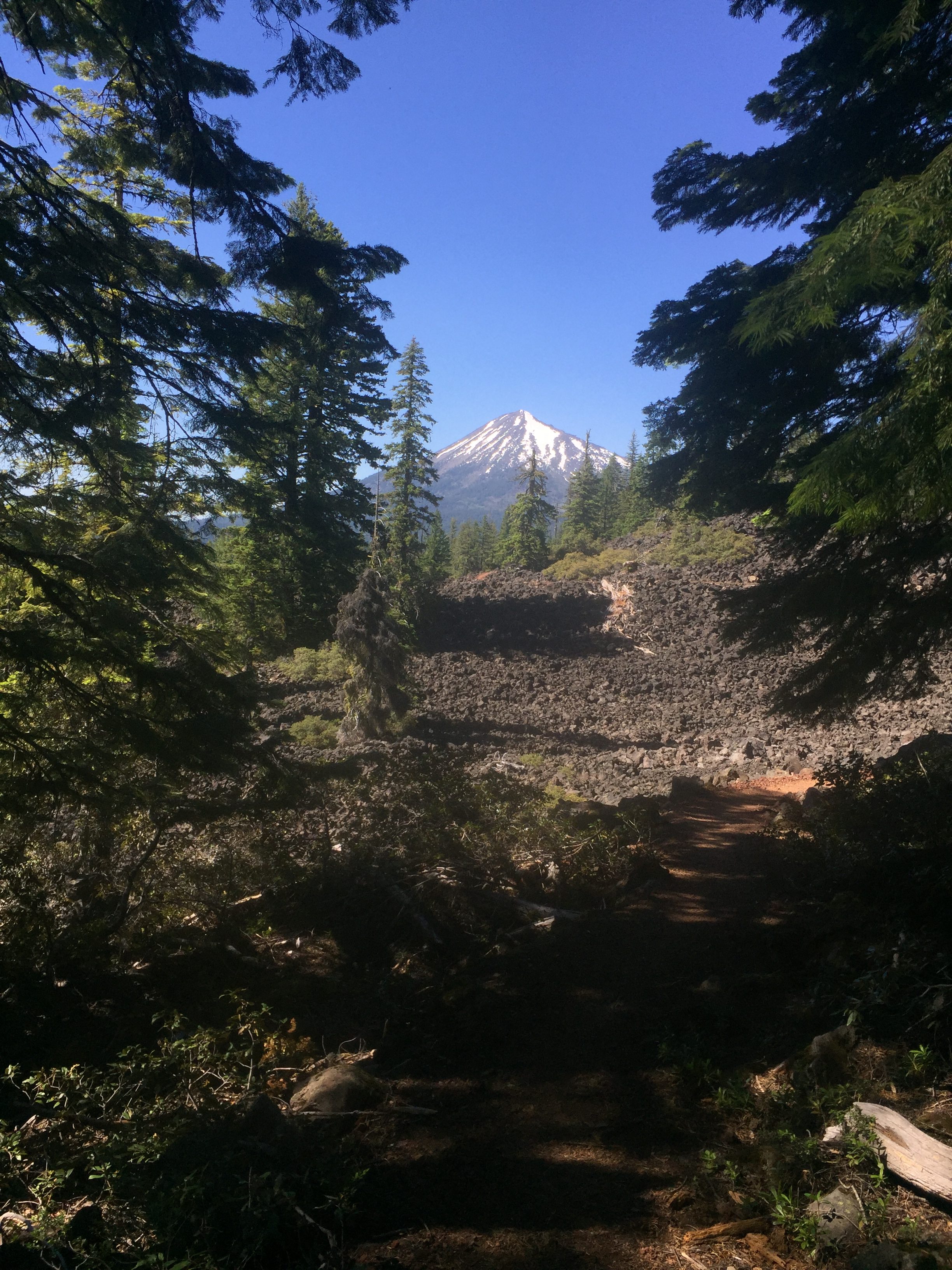
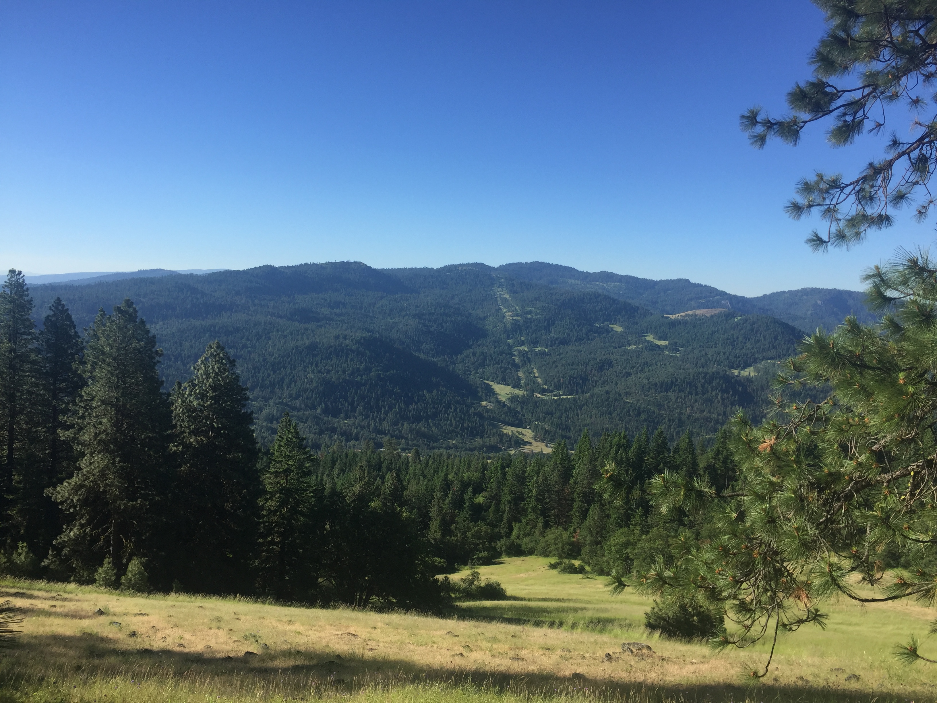
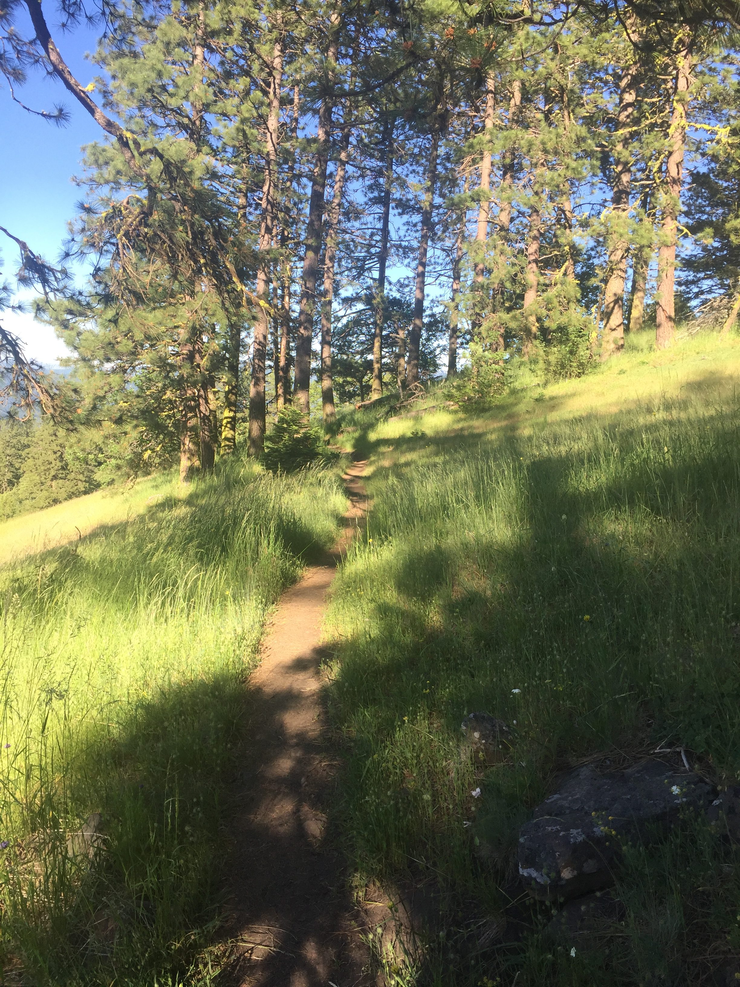
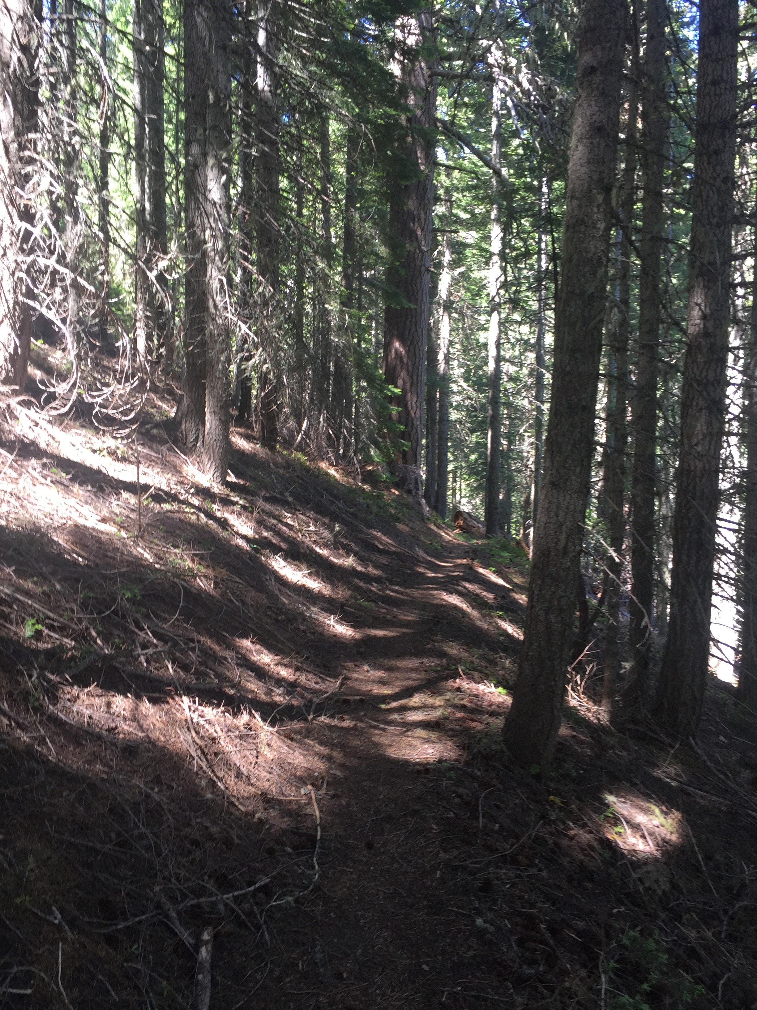
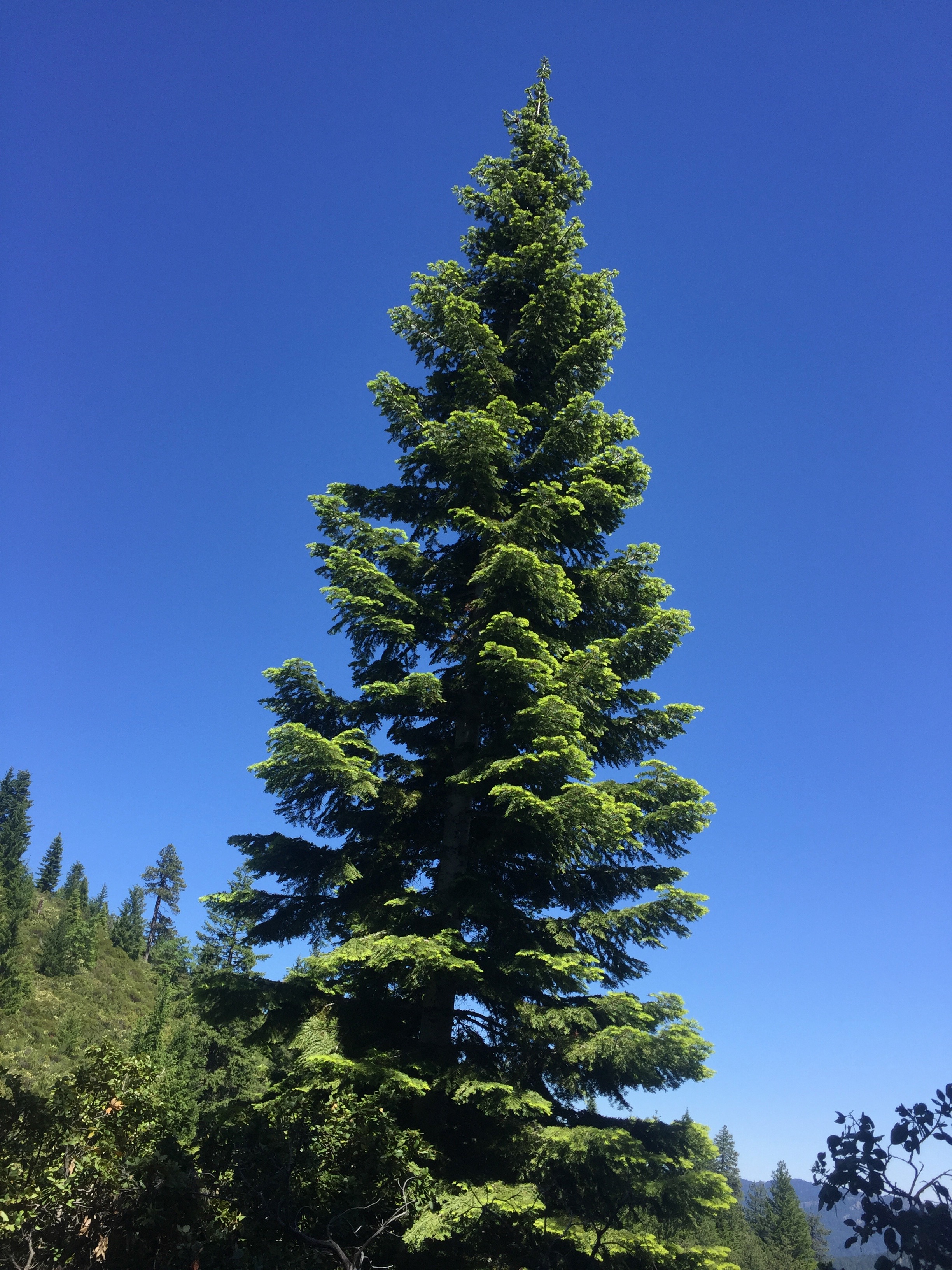
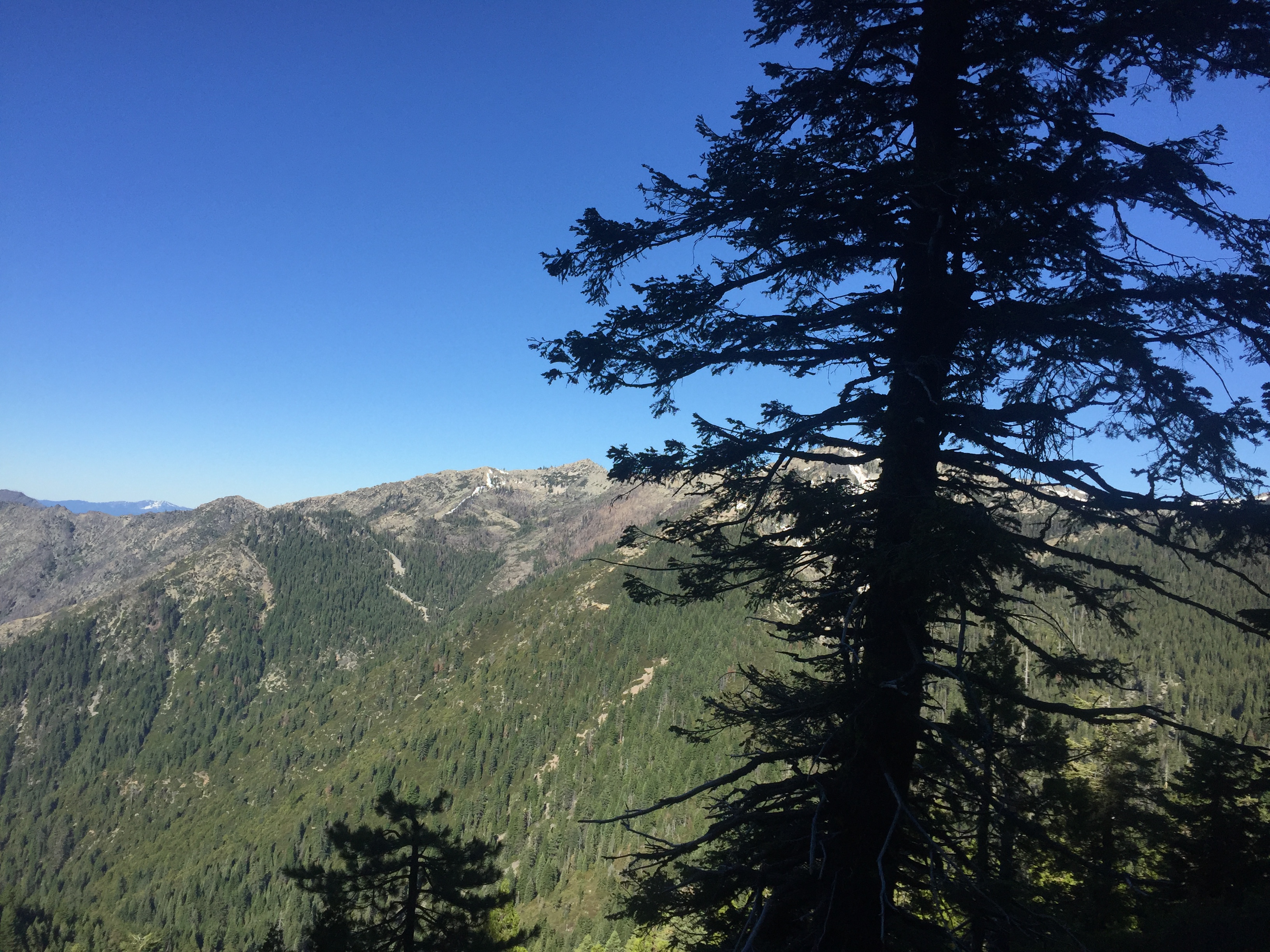
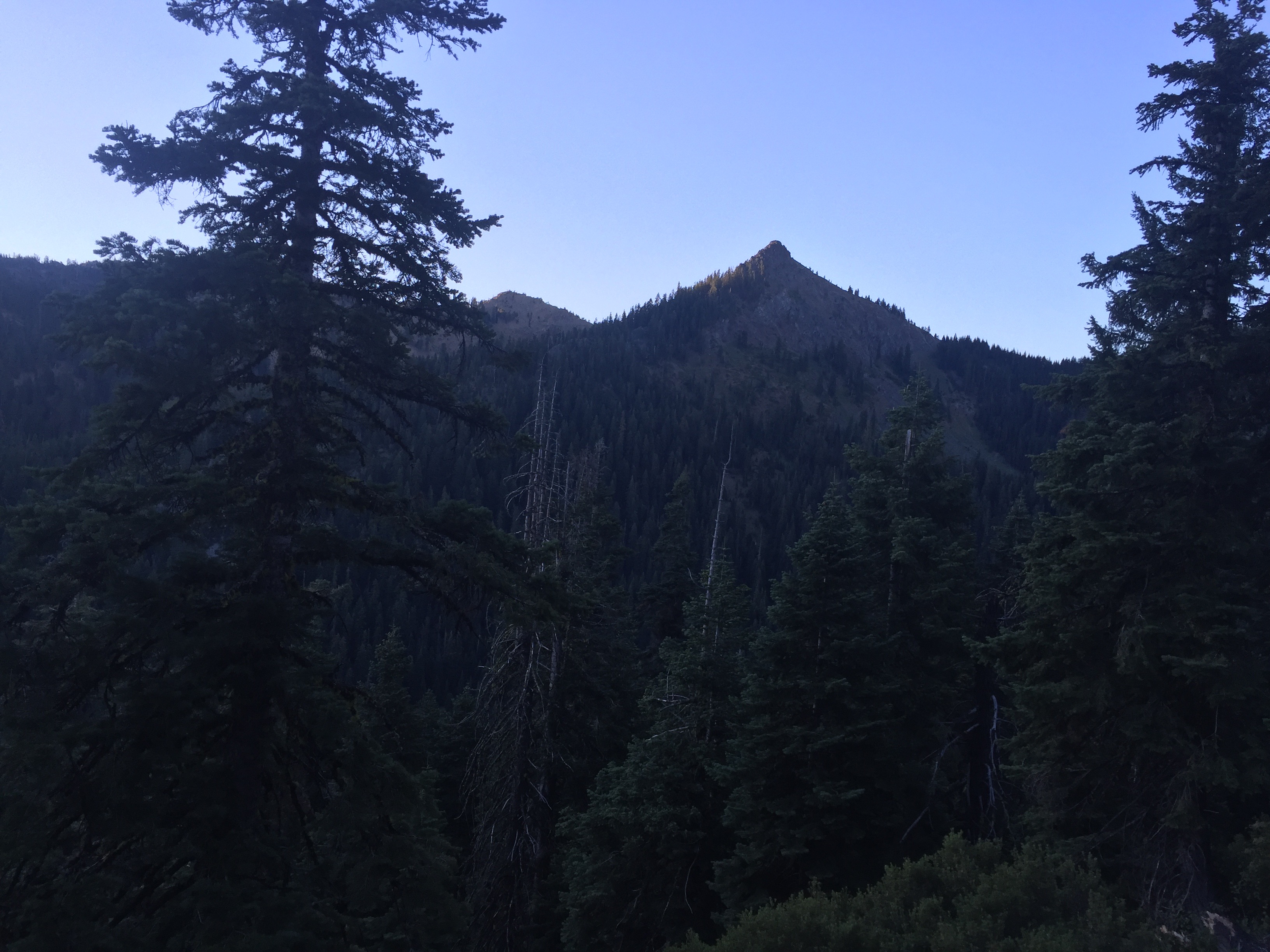
Category Archives: Hiking

June 27 – PCT 1709 to 1693

So now it is time to pick up some of the times skipped from Ashland Oregon back to Seiad Valley in California.  So I am traveling south for 3 days to get those miles.  Back on the first day, I was told by “Don’t Panic” that this section was free from snow.    Turns out he was very wrong but really how is one to know unless you talk to someone who has been there.  The information about snow and how much is just very bad and something I think the PCT organization should address.  Perhaps in the past it has been pretty cut and dry in that if you get to Kennedy Meadows with begins the High Sierra by June 15 the snow will probably be acceptable.  A lot of hikers are just bouncing around trying to find sections where their is no snow or at least a safe amount of snow.

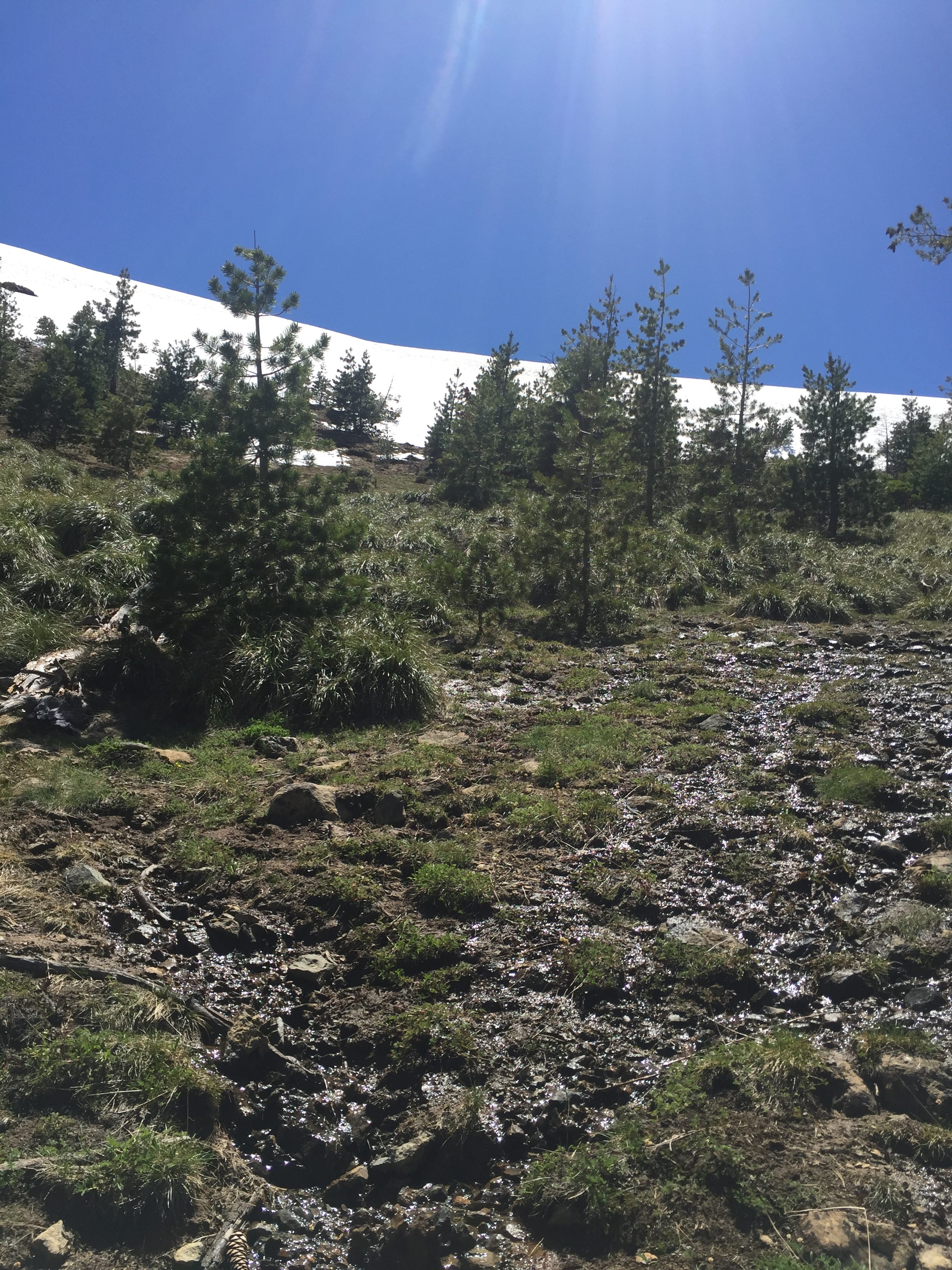
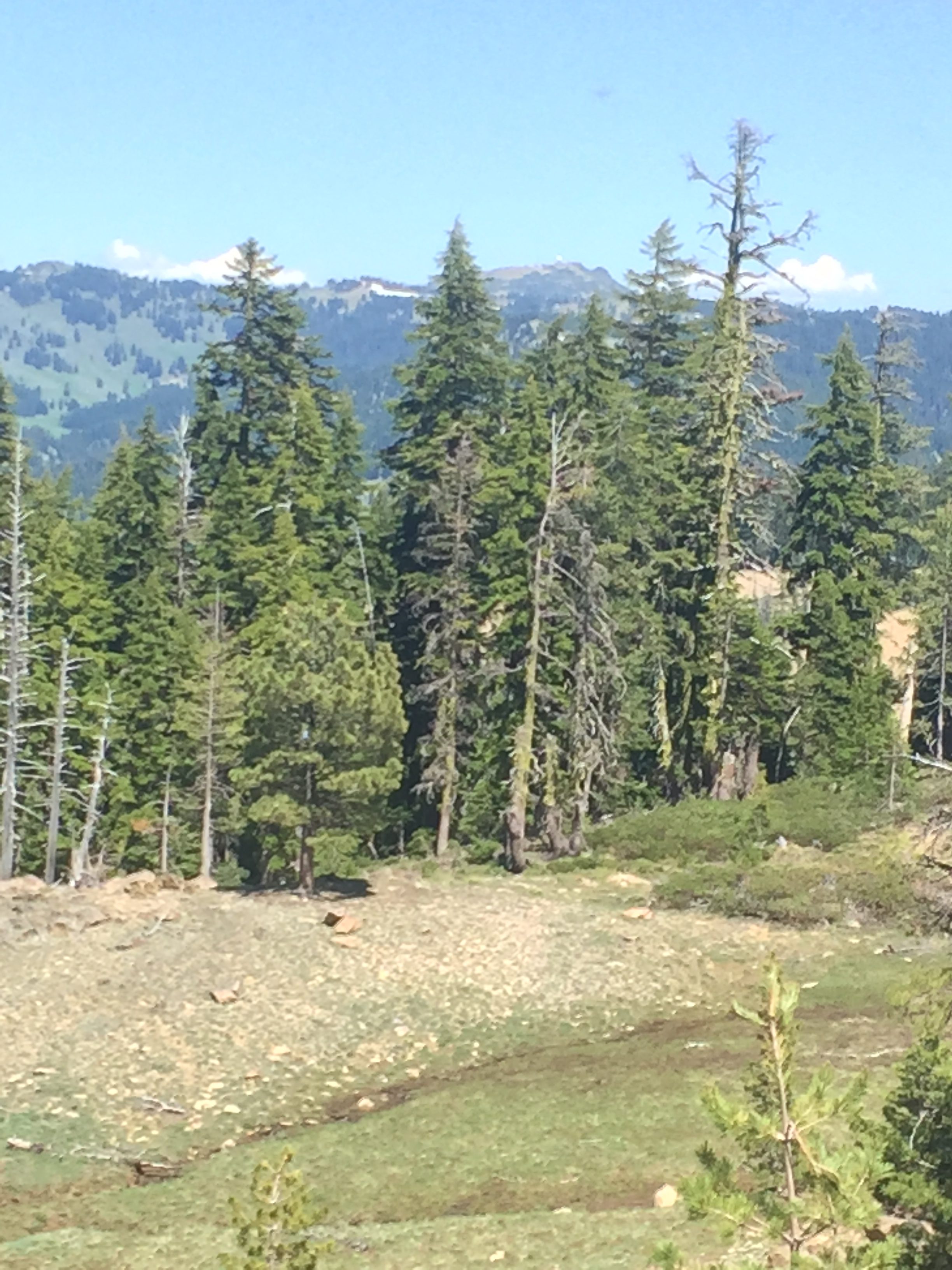
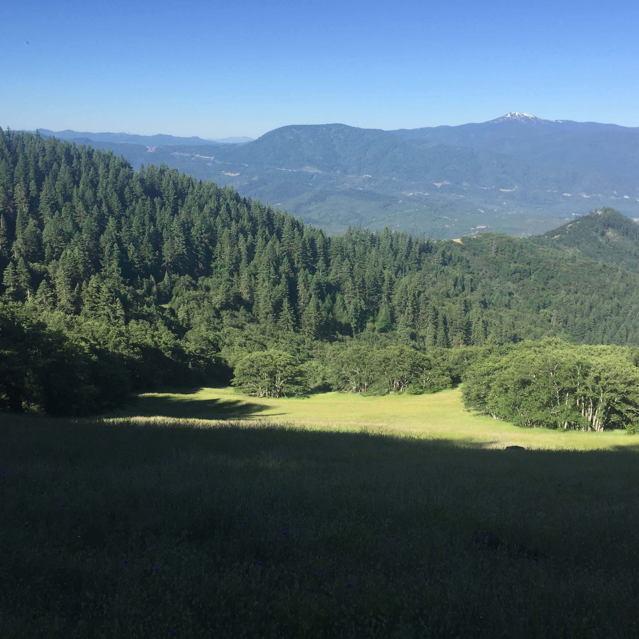
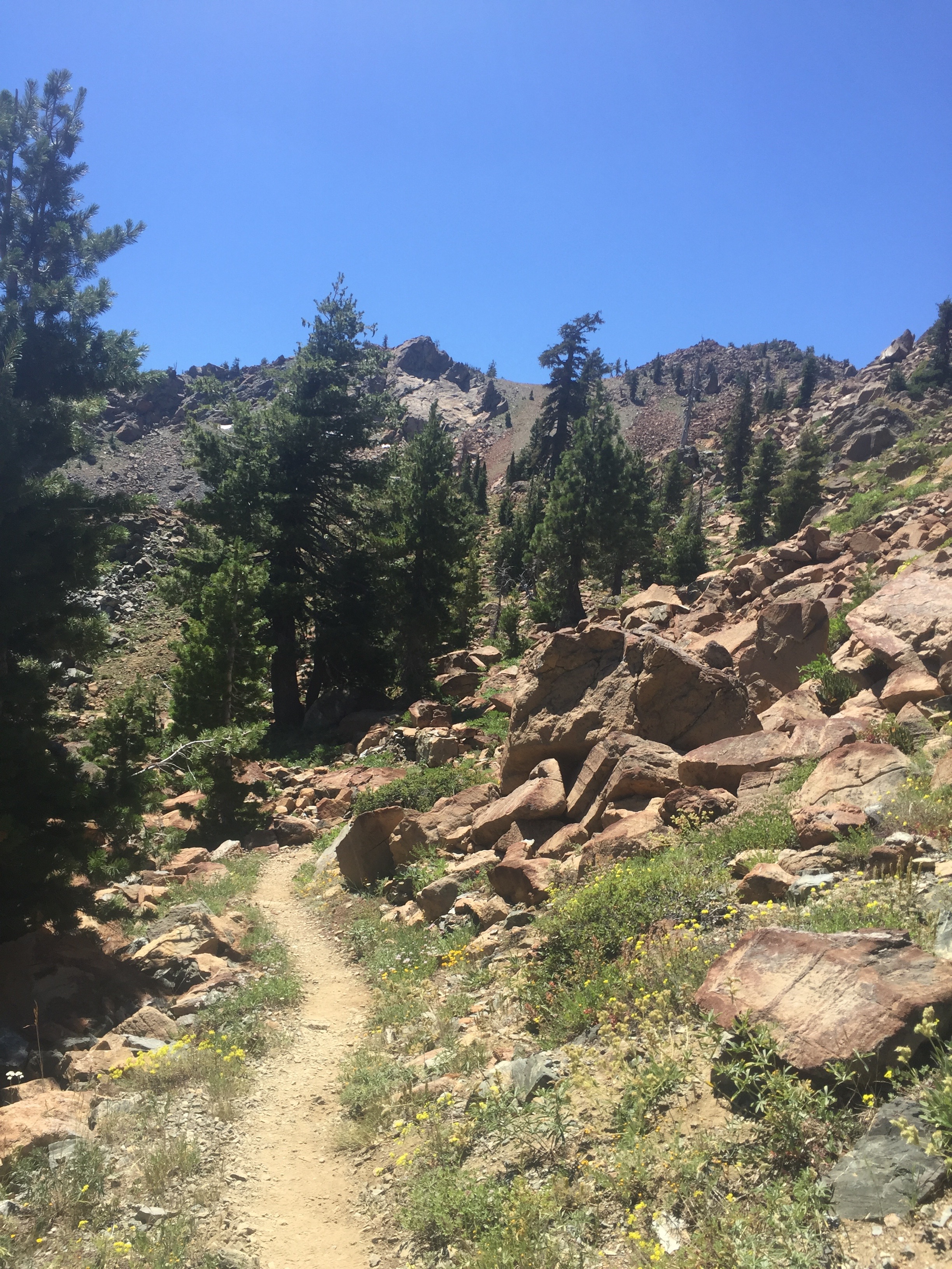
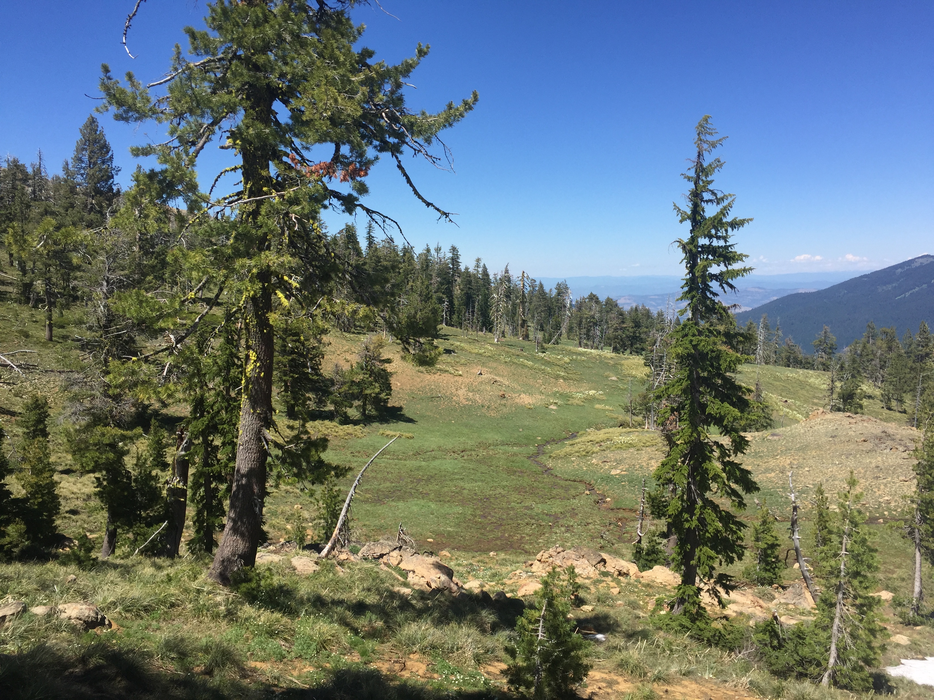
So I start out on a beautiful day at Mount Ashland area and start walking south.  After a bit of a walk in thick forest I come out into the open to the meadow below.  There are streams crossing the trail all through this meadow from melting snow.
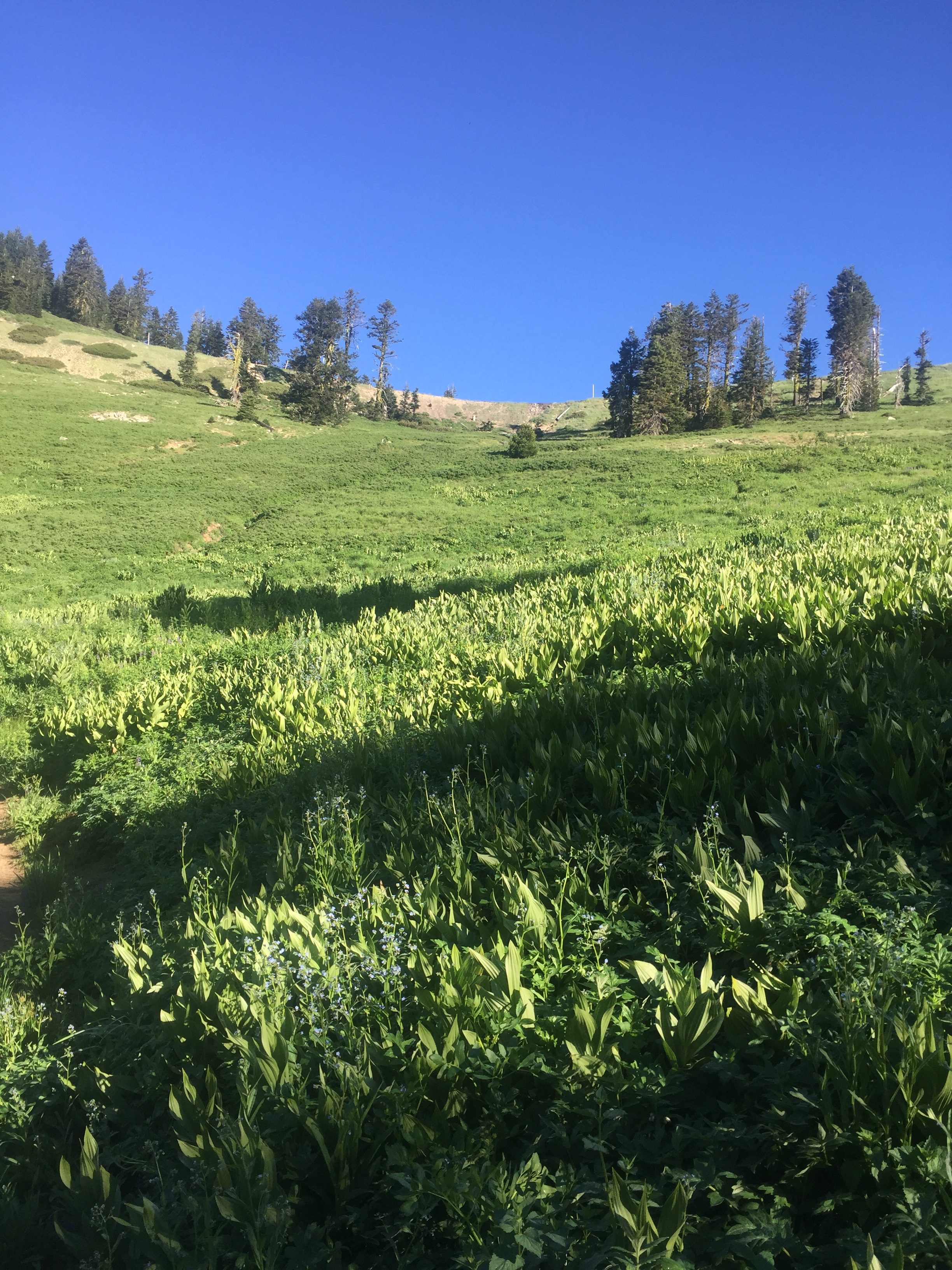
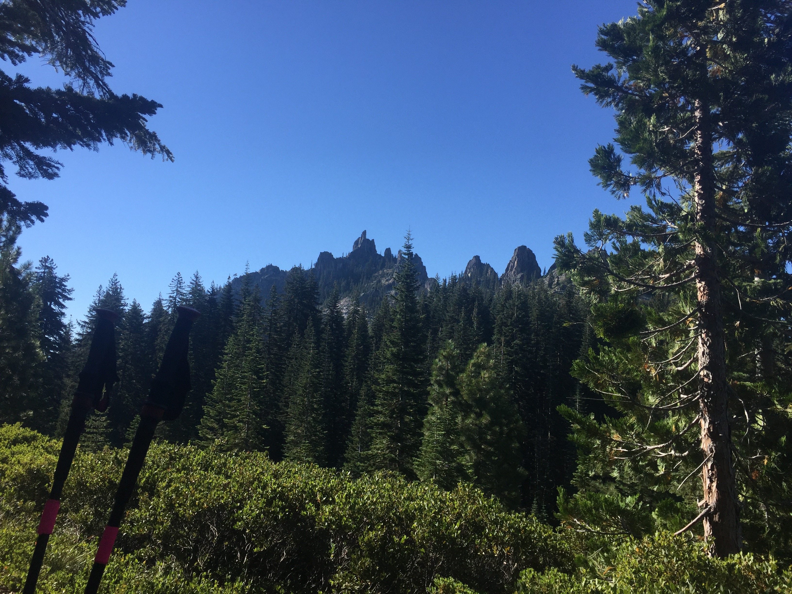
PCT 1693-1709 Nice meadow below Mt. Ashland

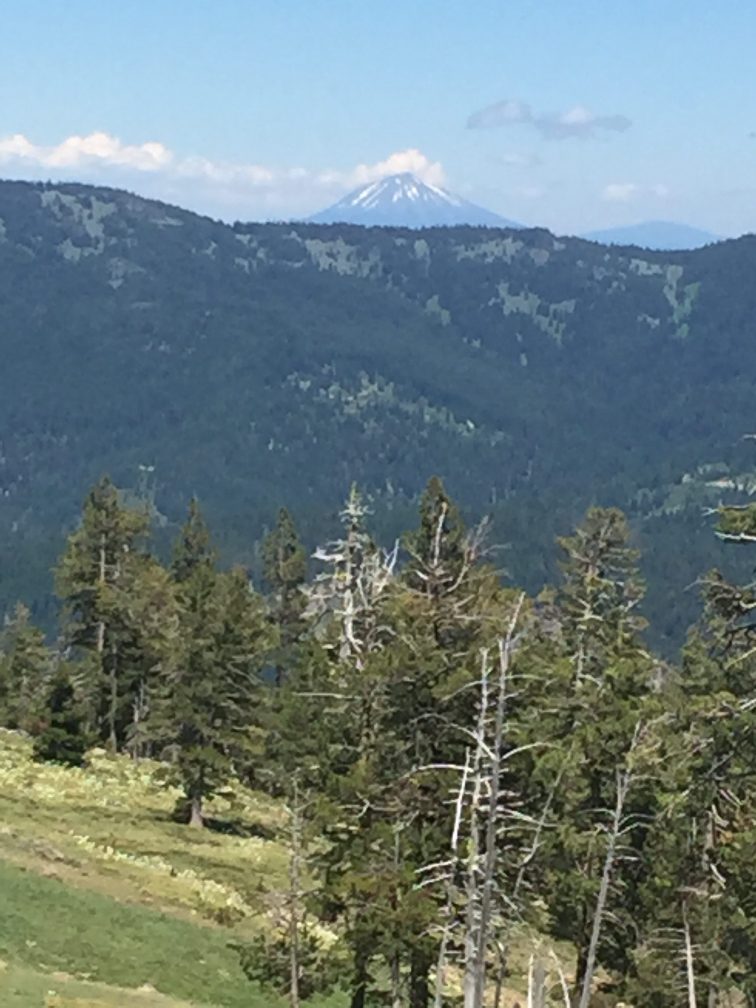
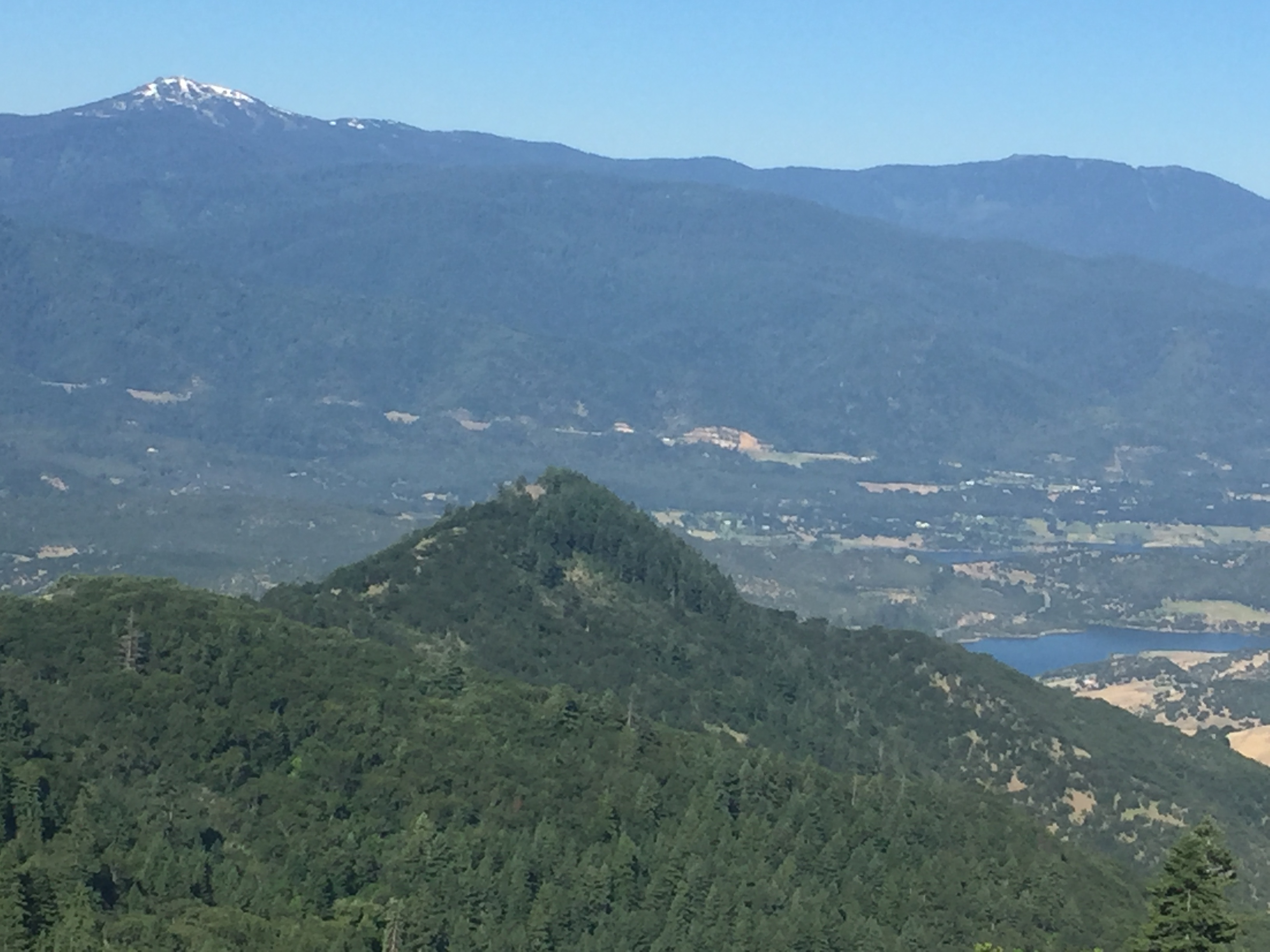
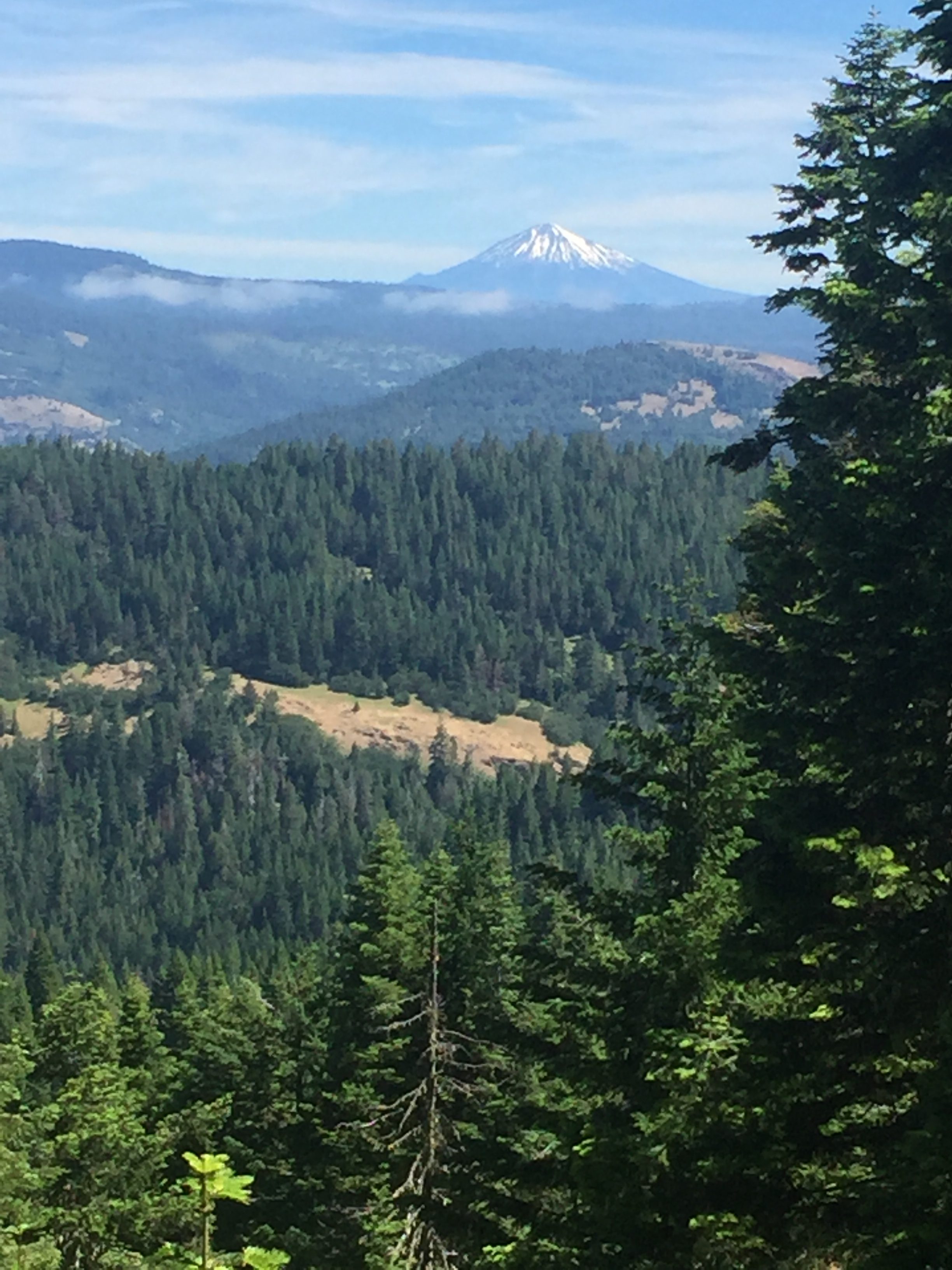
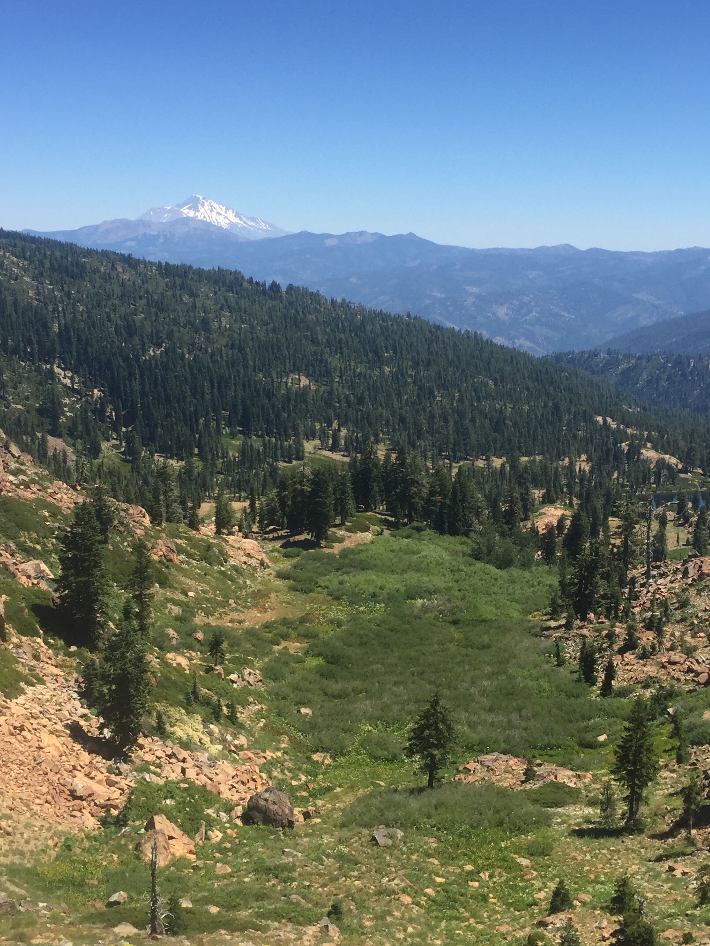
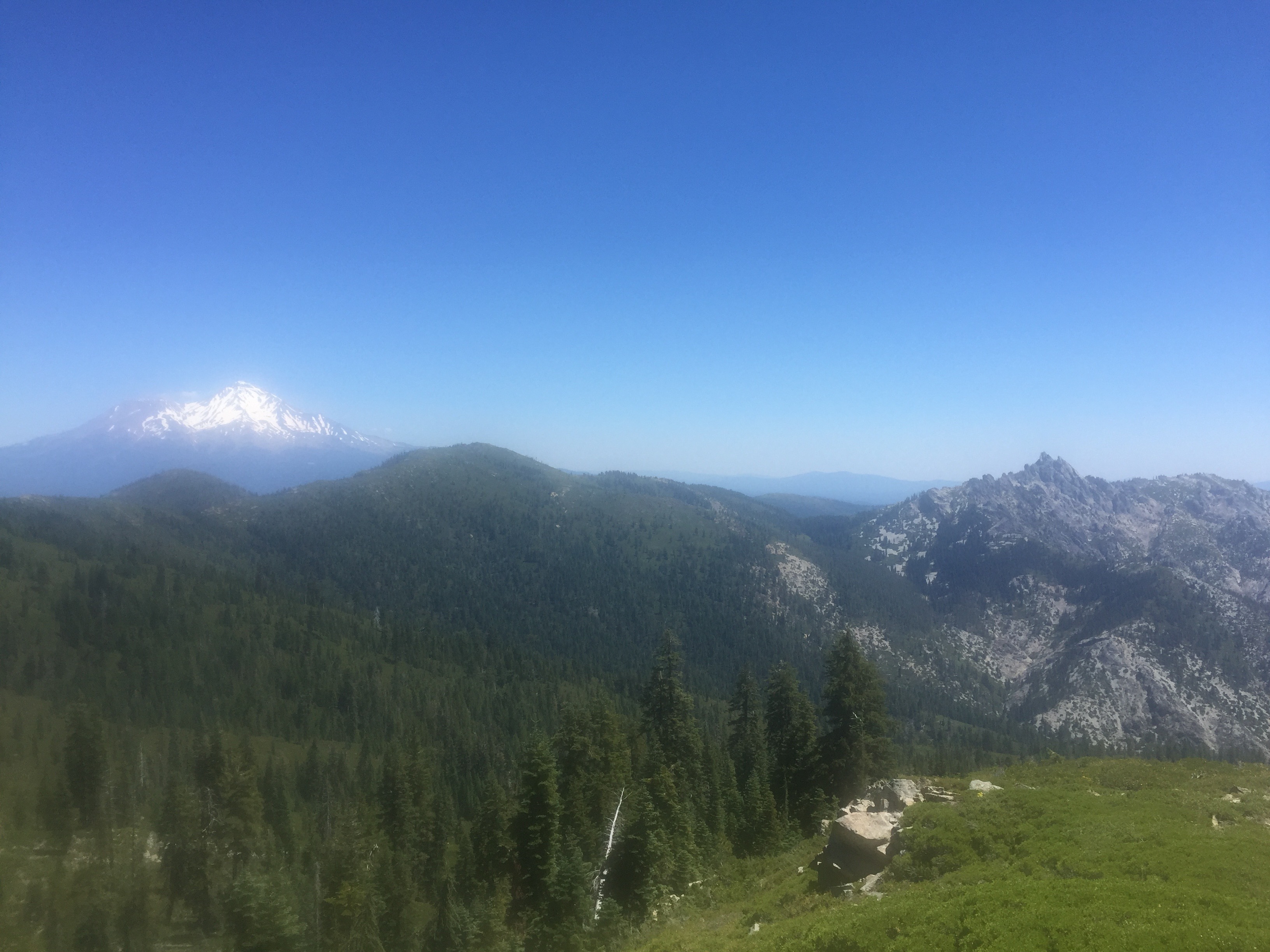
After while there is yet another view of Mt. Shasta.  At elevation Mt. Shasta is just the outstanding feature in view.
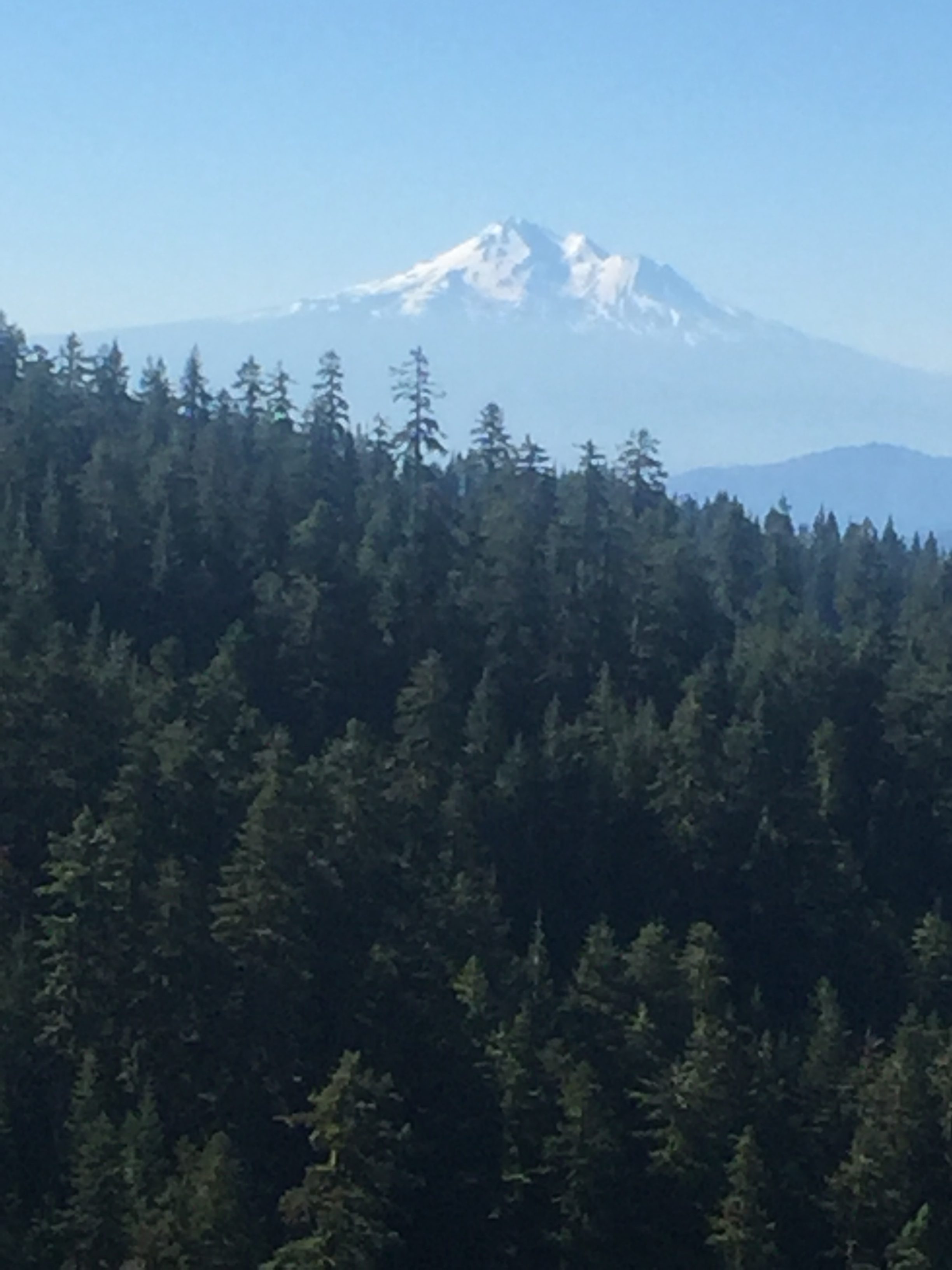
PCT 1693-1709 Mt. Shasta always looming

I look out in the direction is will be walking and see some snow and I wonder for a little bit if perhaps the report of no snow might not be correct.  Still does not look like much.
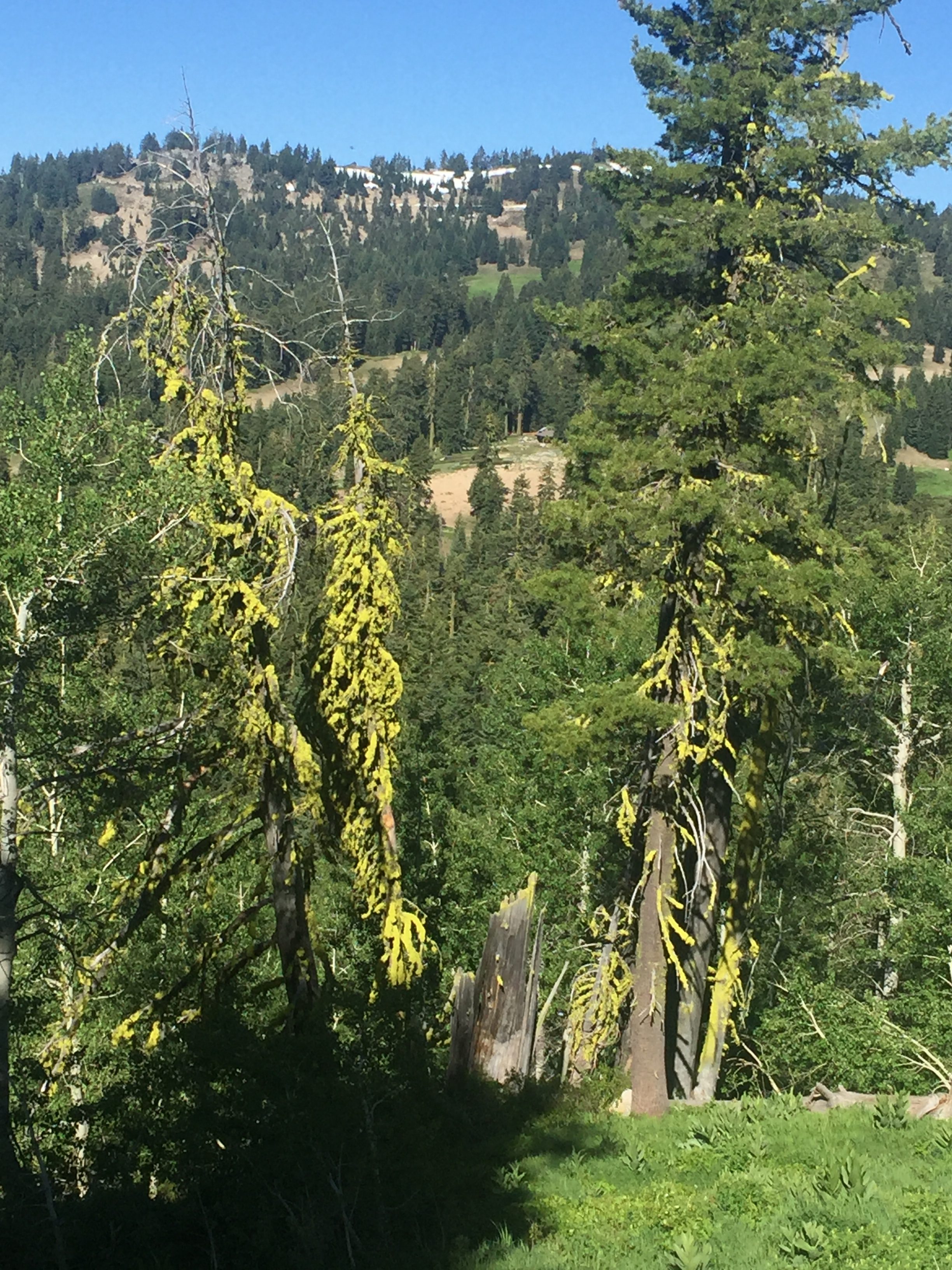
PCT 1693-1709 Pretty and there is snow yonder

A little after taking this picture, there is a hiker coming from the south and he confirms there is snow and at points a lot of snow and there have been at least 2 injuries caused by it.  Hum….. oh well, I am not turning around.  It is just too beautiful and how bad can it be???

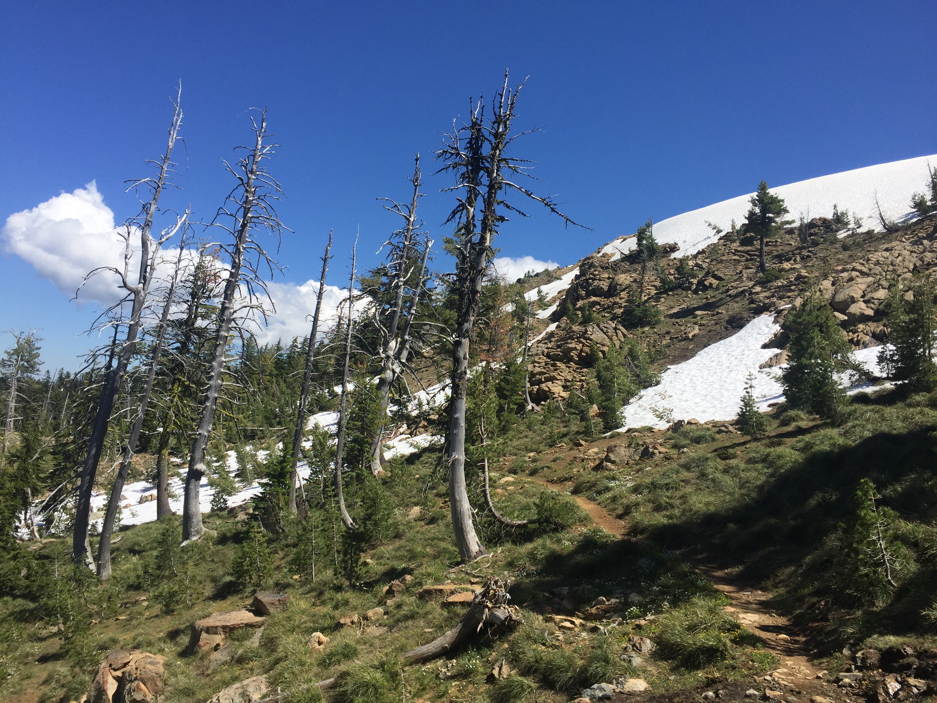
By 9:15 I run into the first snow on the trail but really just an outcropping.
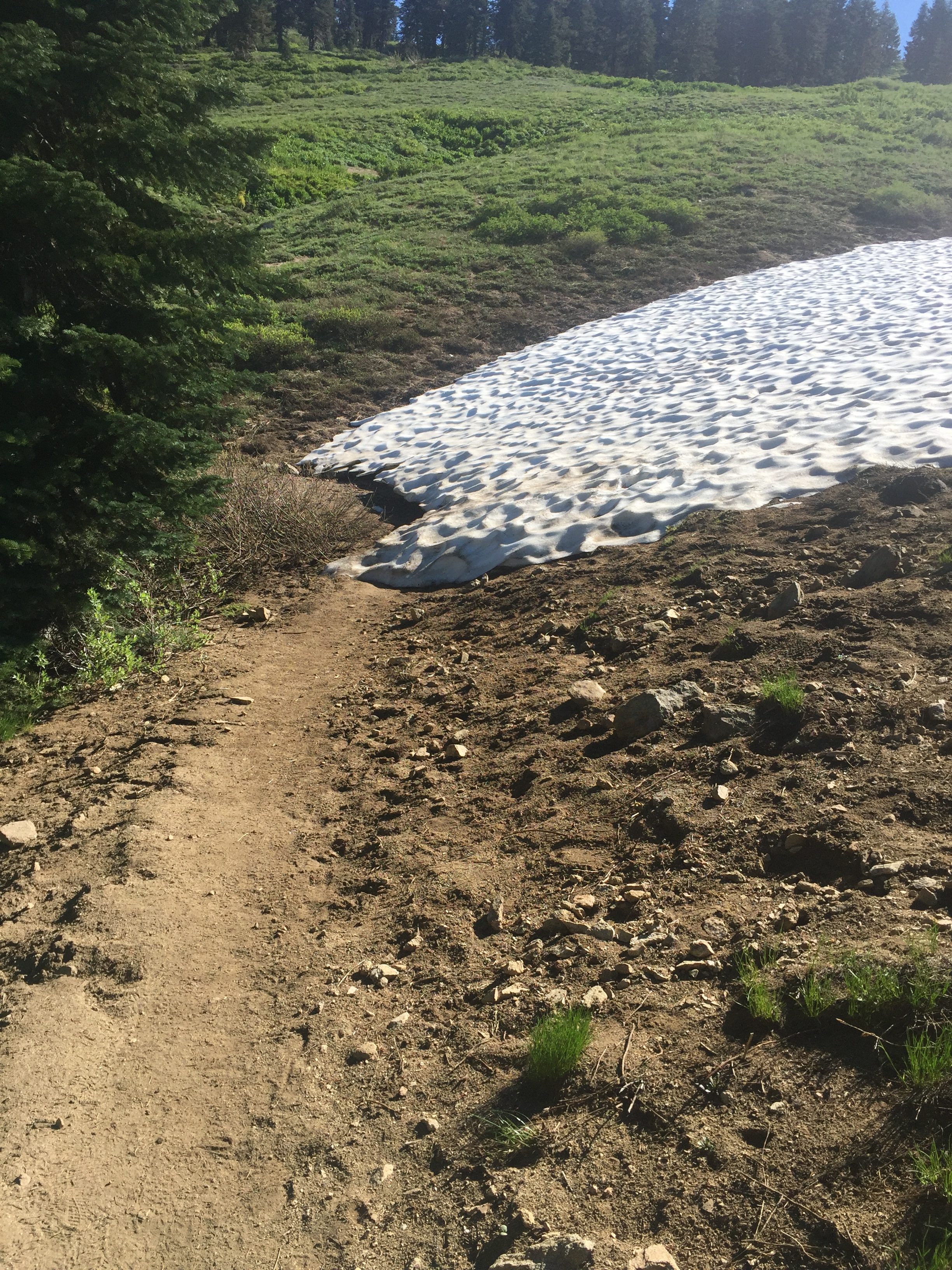
PCT 1693-1709 Snow on trail

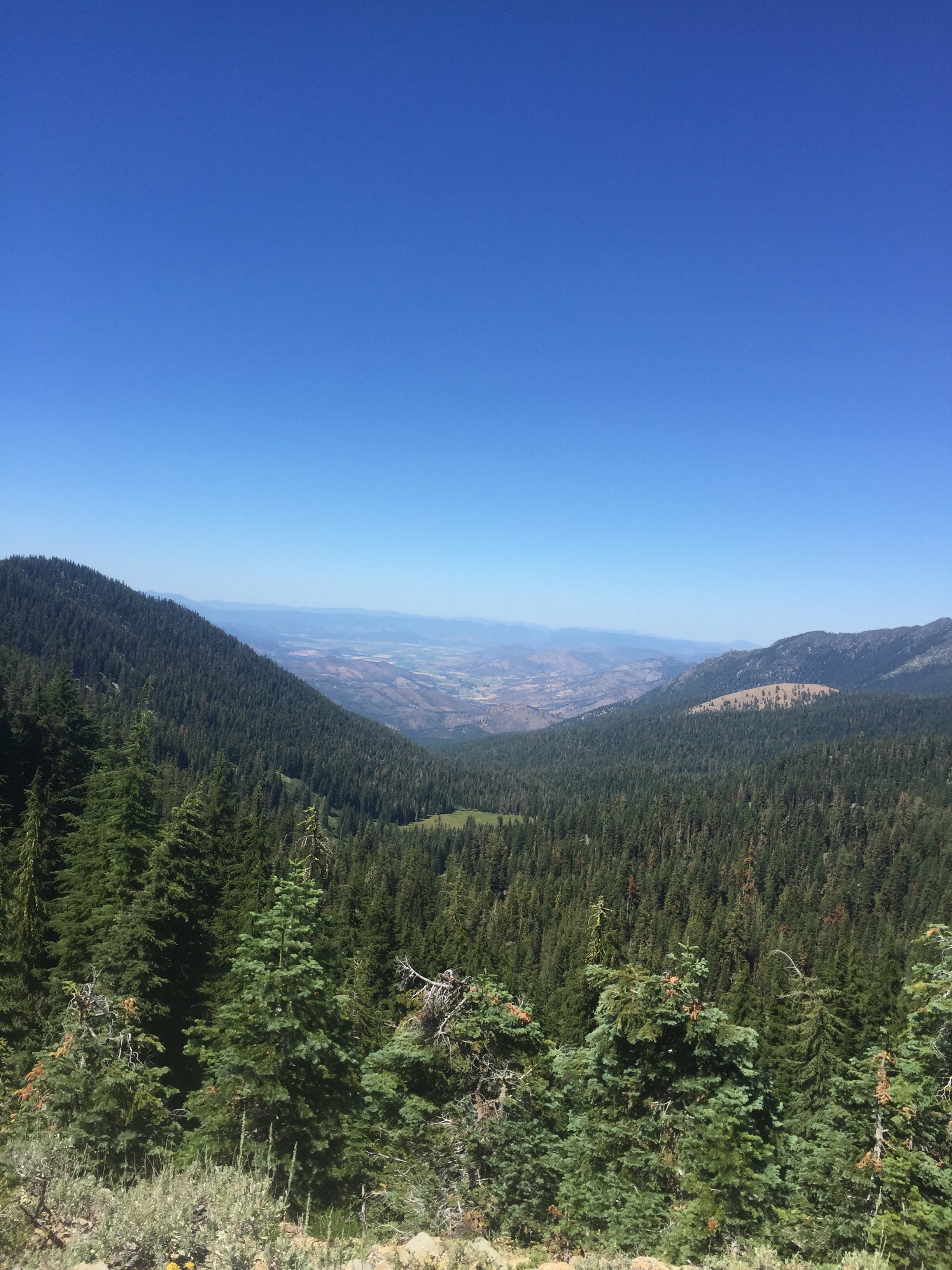
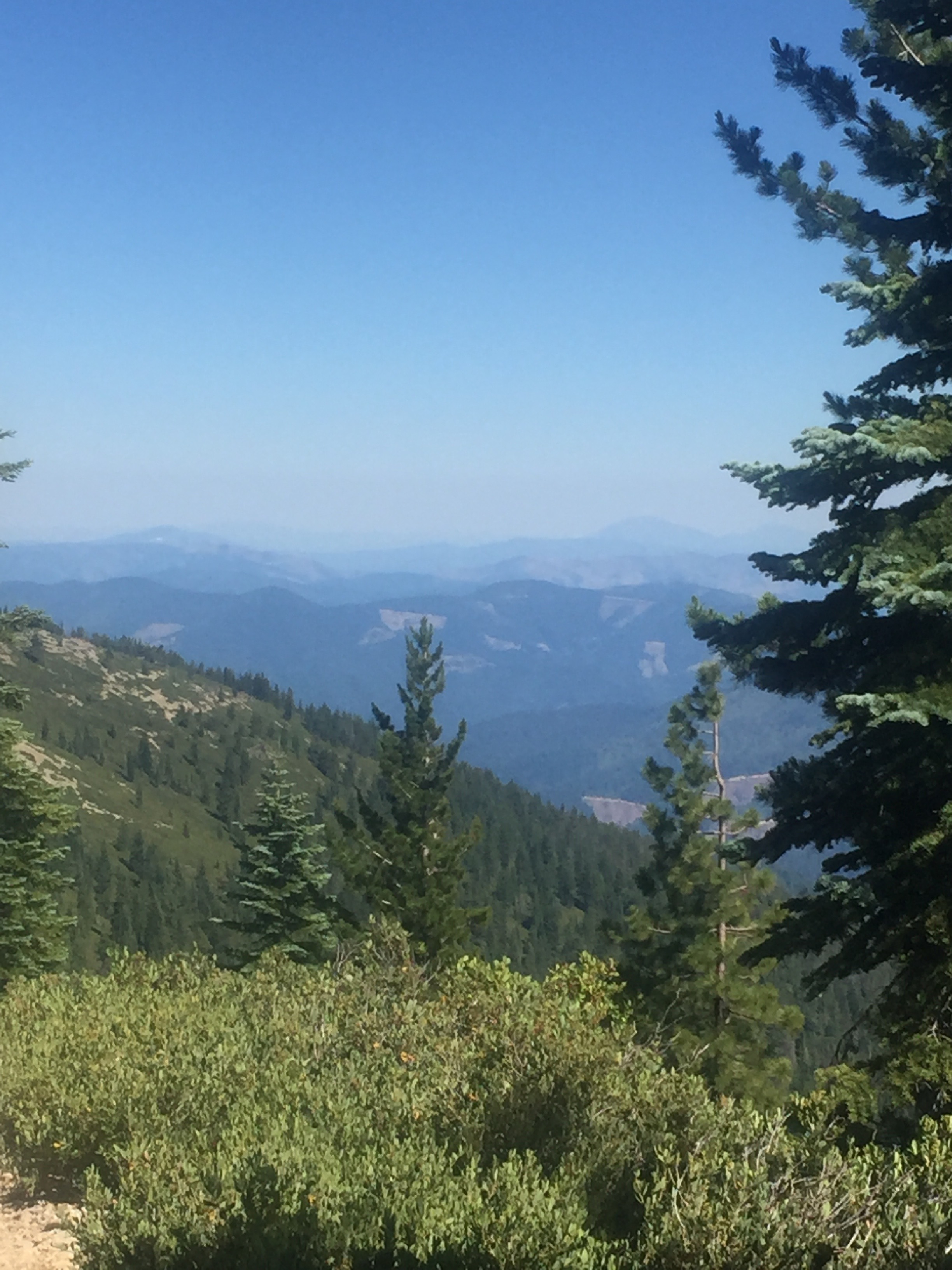
Not too much longer I take a picture of the valley.  Just so beautiful in this area.
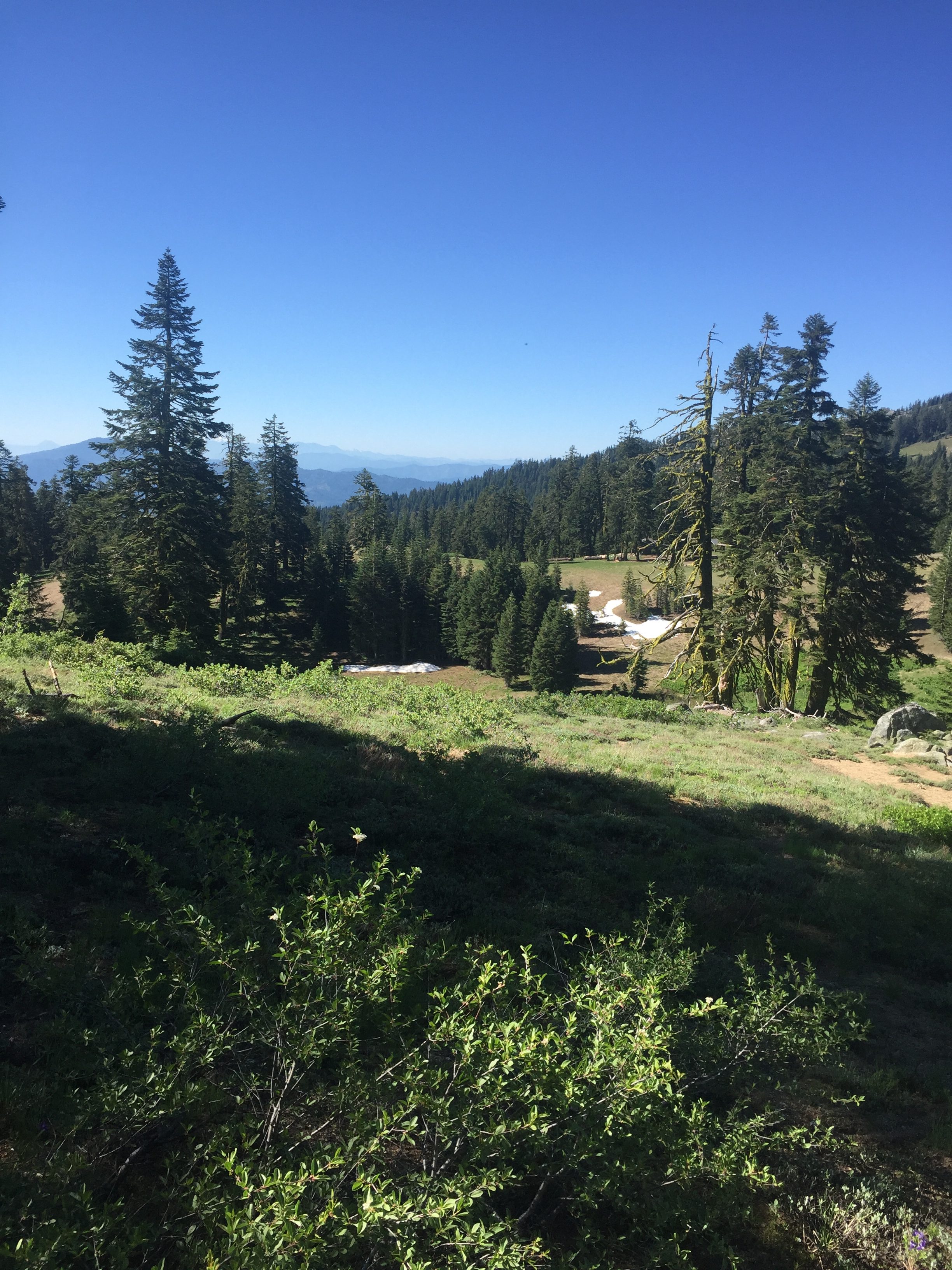
PCT 1693-1709

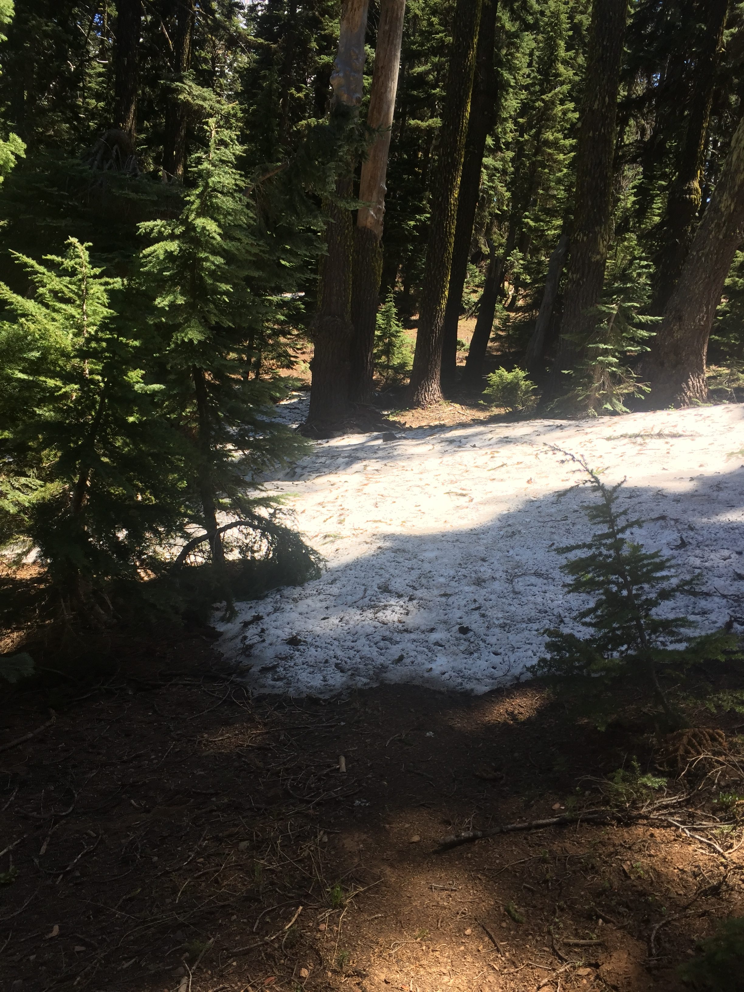
At about 9:45 I run into more snow but really not an issue because the snow is not very deep or very long and it is easy to either just walk though it or around it and the trail can be seen on the other side without any issue.
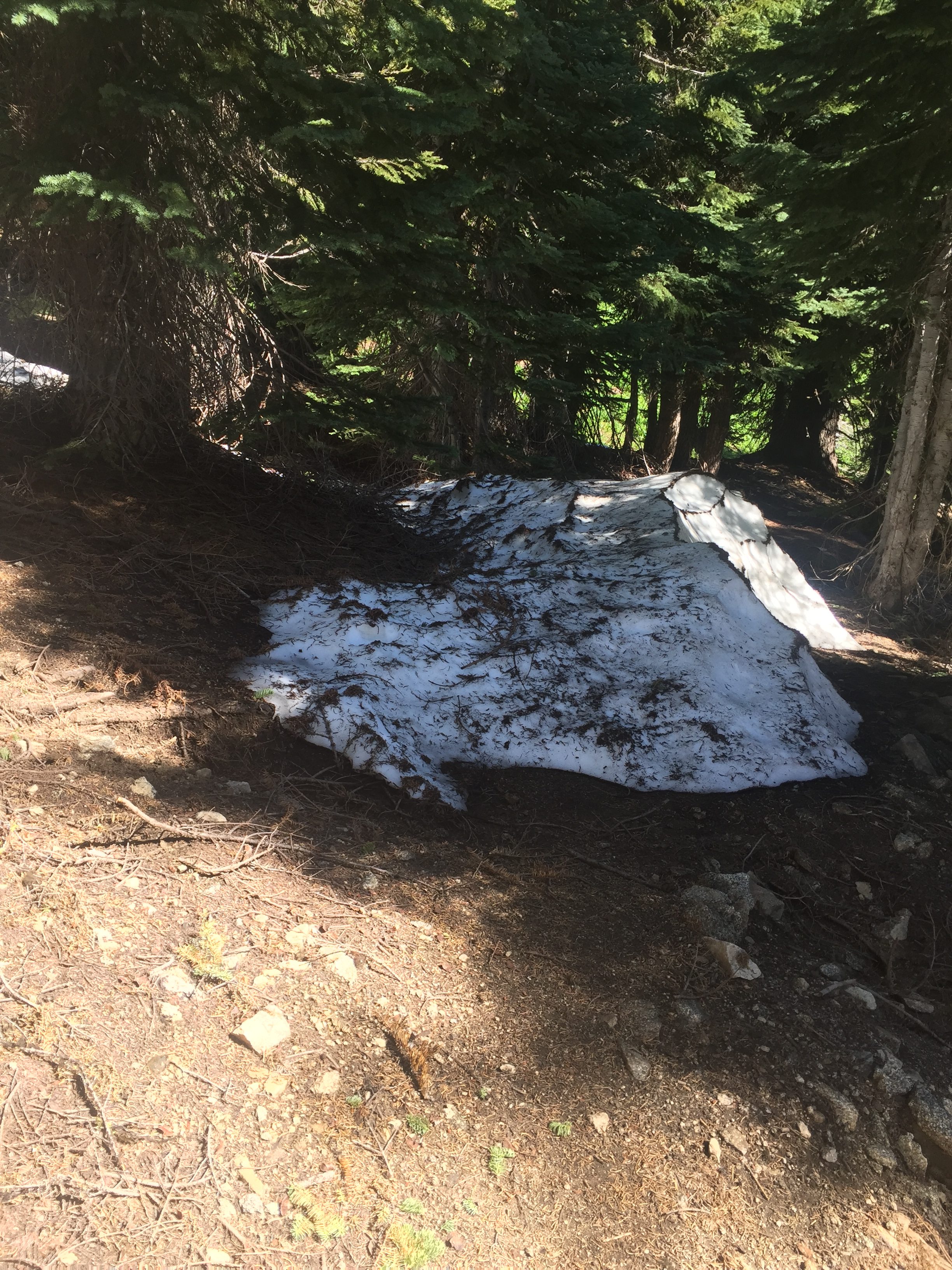
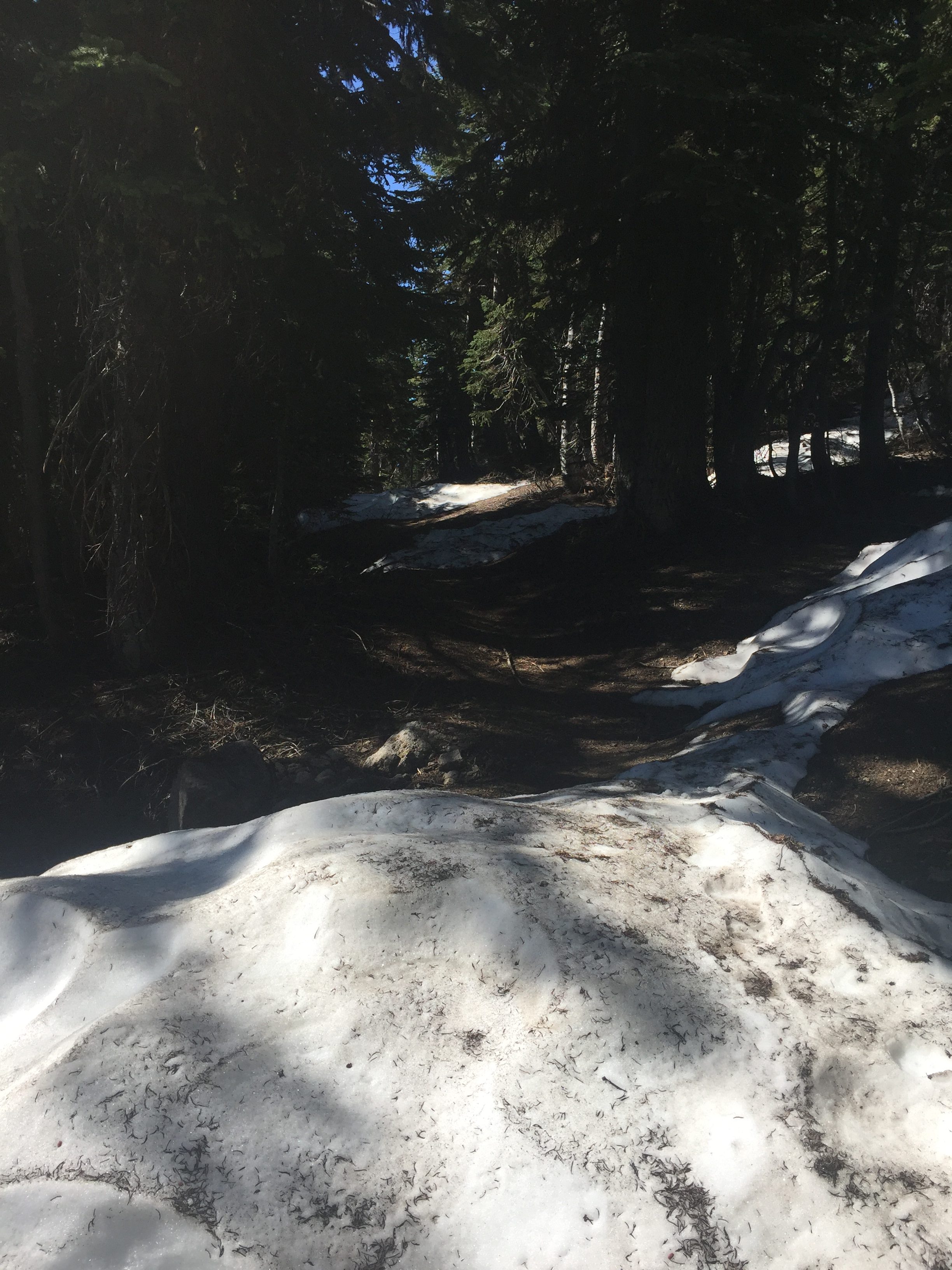
PCT 1693-1709 Snow on trail

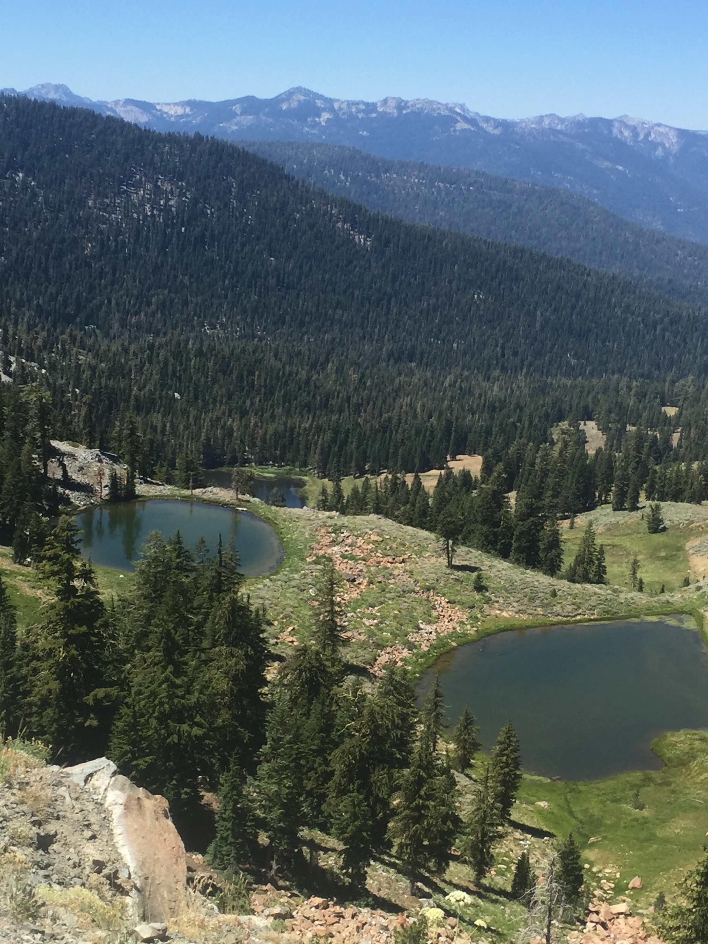
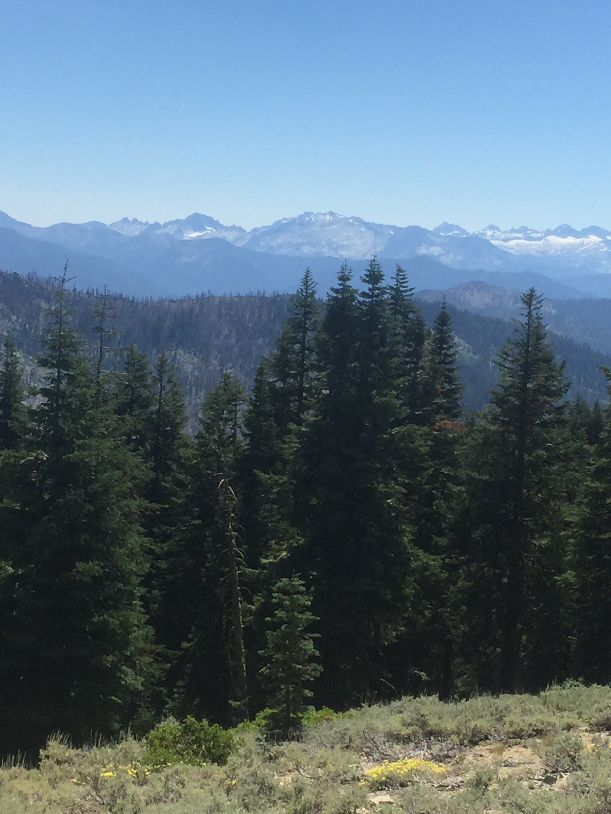
Then another view of the valley in the picture below.  The valley and the rows of mountains in the distance just caught my eye.  So amazing.
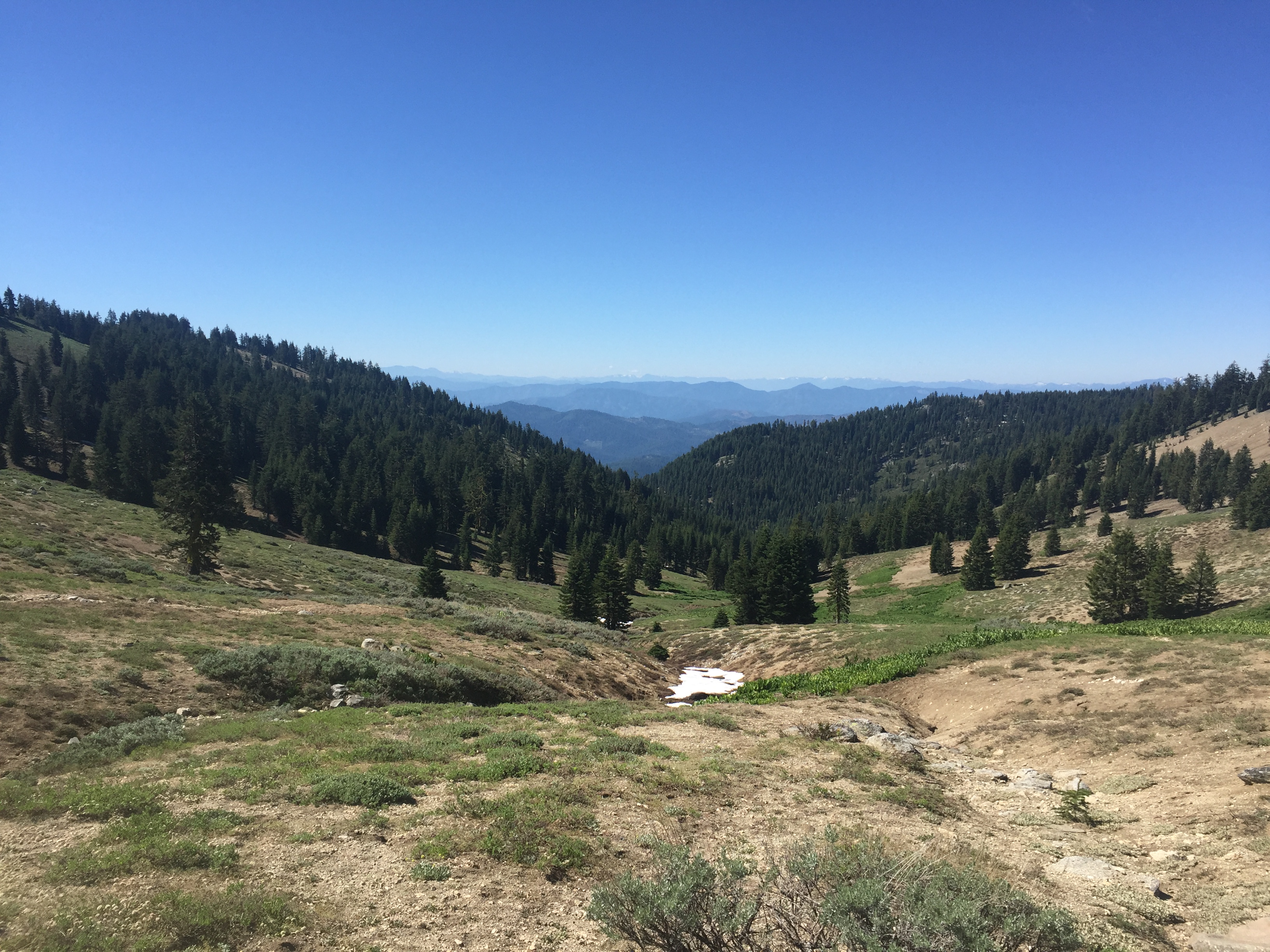
PCT 1693-1709 Beauty everywhere

So there is snow here and there but no issue.  At about 10:30 I look out and notice Pilot Rock.  This is where I was a couple days ago where the Peregrine Falcons breed and I took a picture of the rock wrapped in clouds.
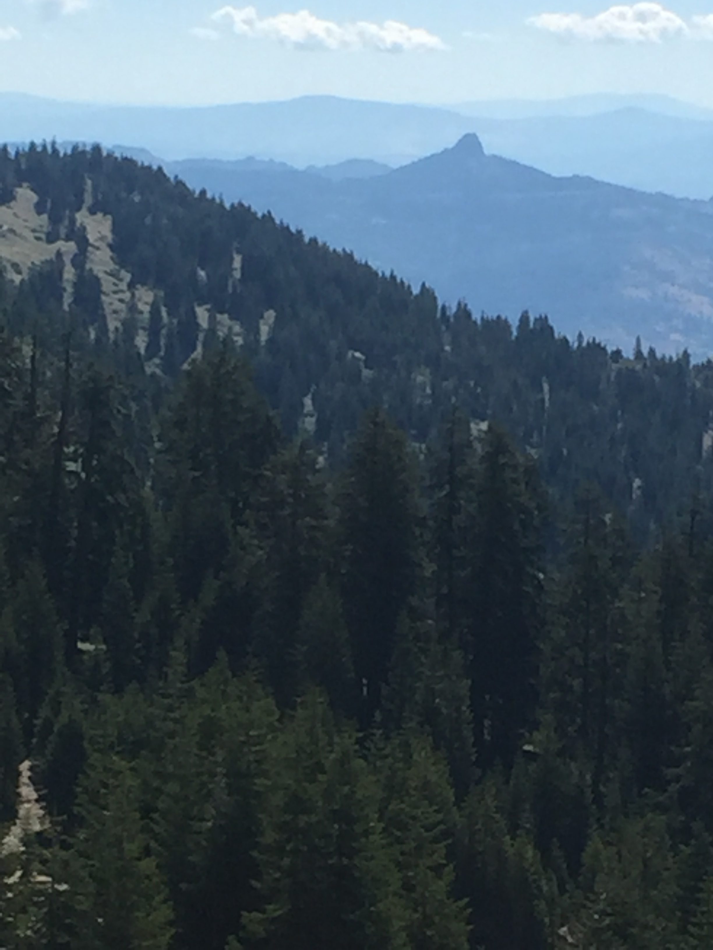
PCT 1693-1709 Pilot Rock off in the distance

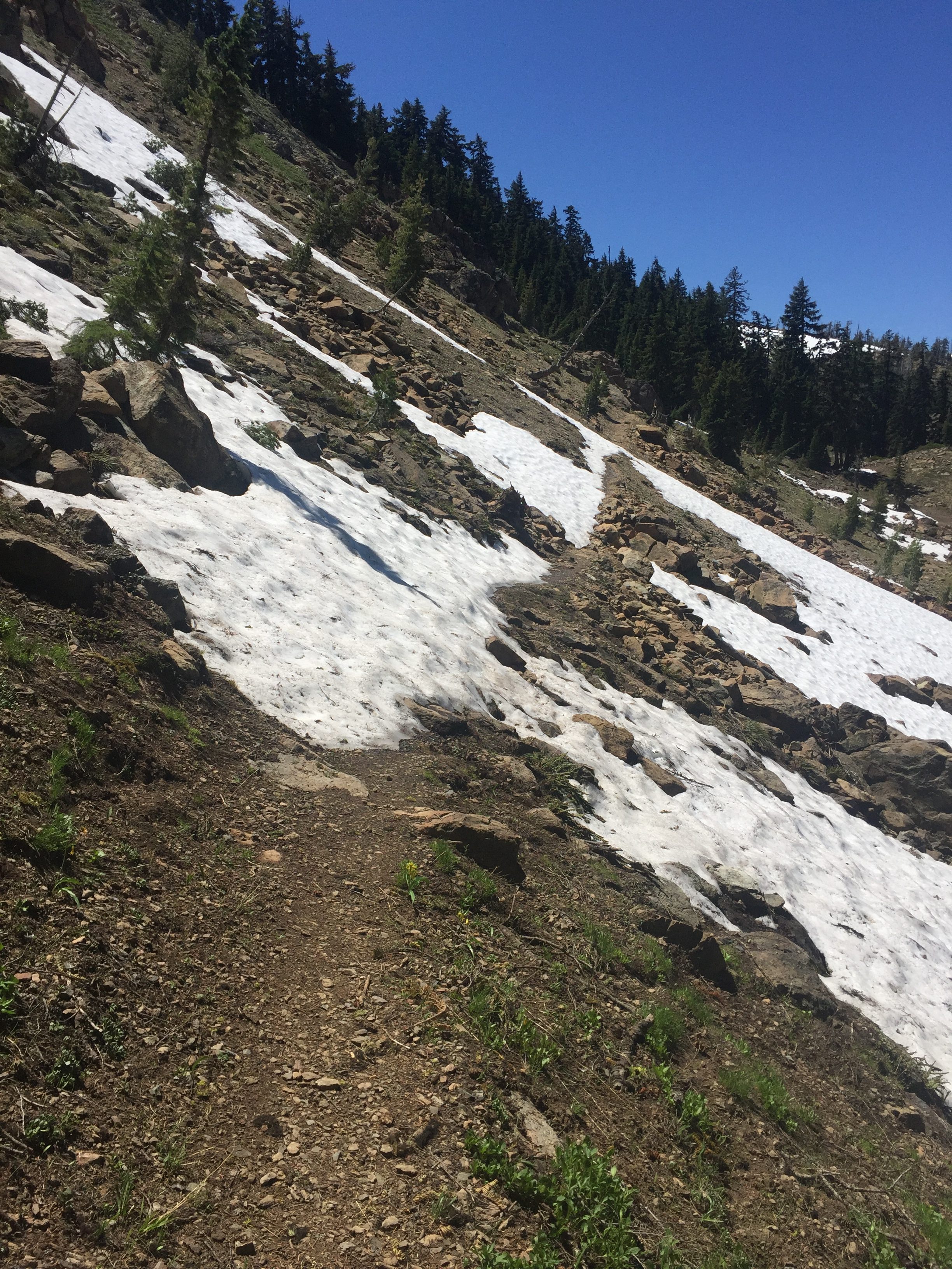
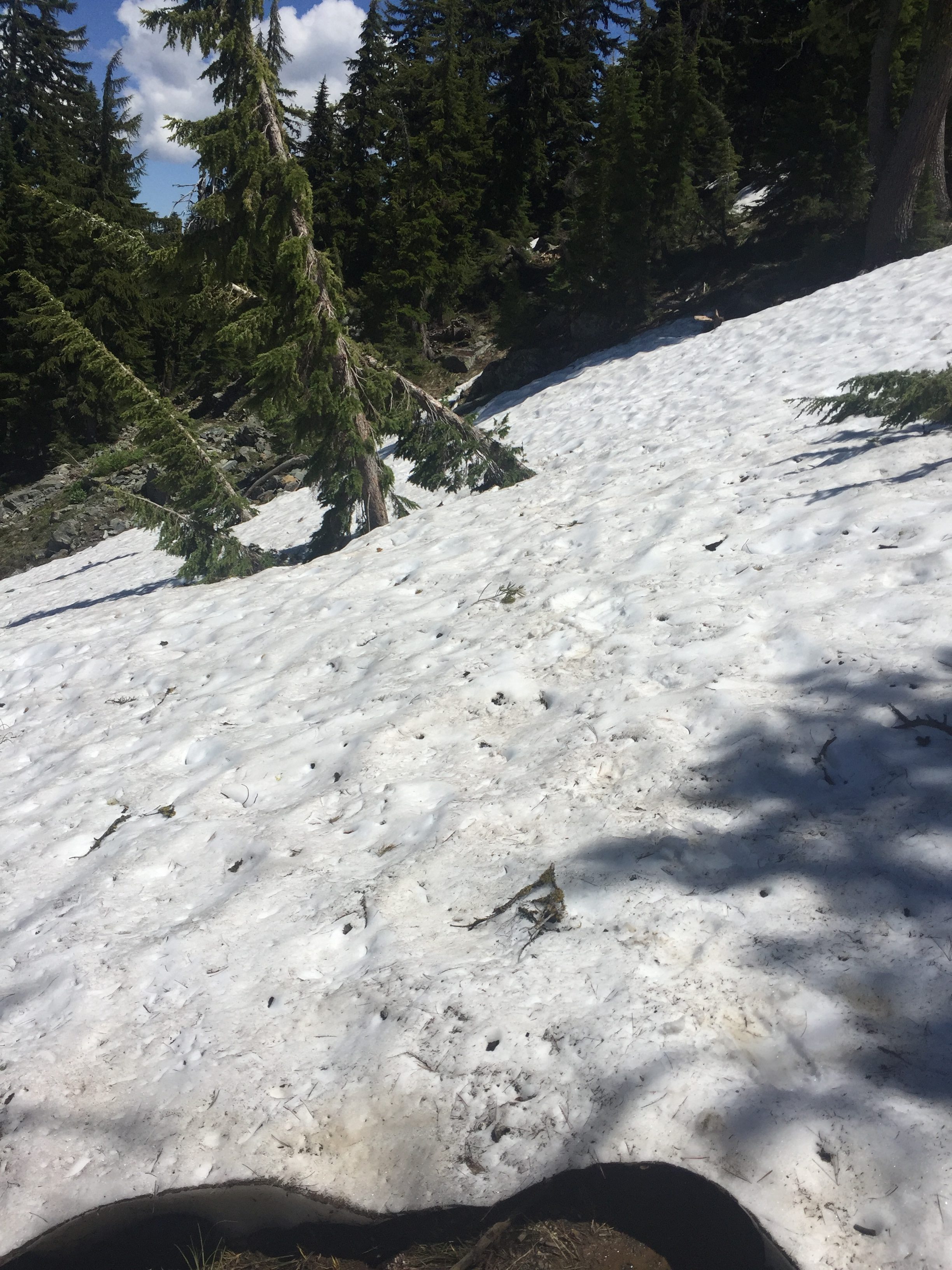
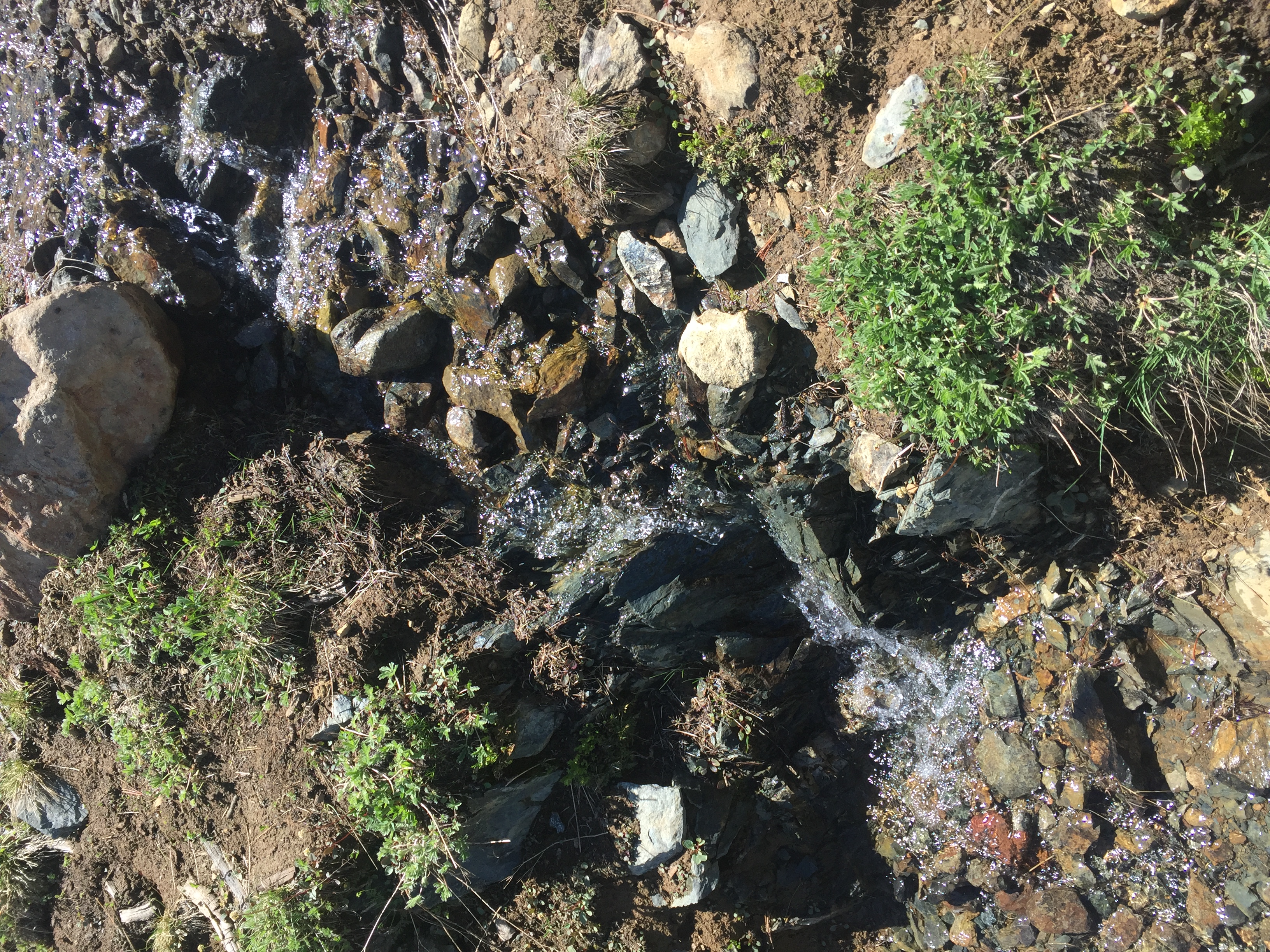
About 1:45 I get to an area that is a little more challenging.  There is a big mountain of snow above the trail and some outcroppings that come over the trail.  It is pretty steep at this point and so going over the snow was a bit more dicey.  Slipping would not be good.  But the sun had been working on the snow for awhile and so it was pretty easy to just dig my feet into the snow with each step so there was no worry of sliding.  After I crossed the snow I took some pictures of the area because it was just so amazing.  The streams coming down from the snow above, the valley below, the mountains in the distance.  I probably stayed there for about 30 minutes just loving my time there.
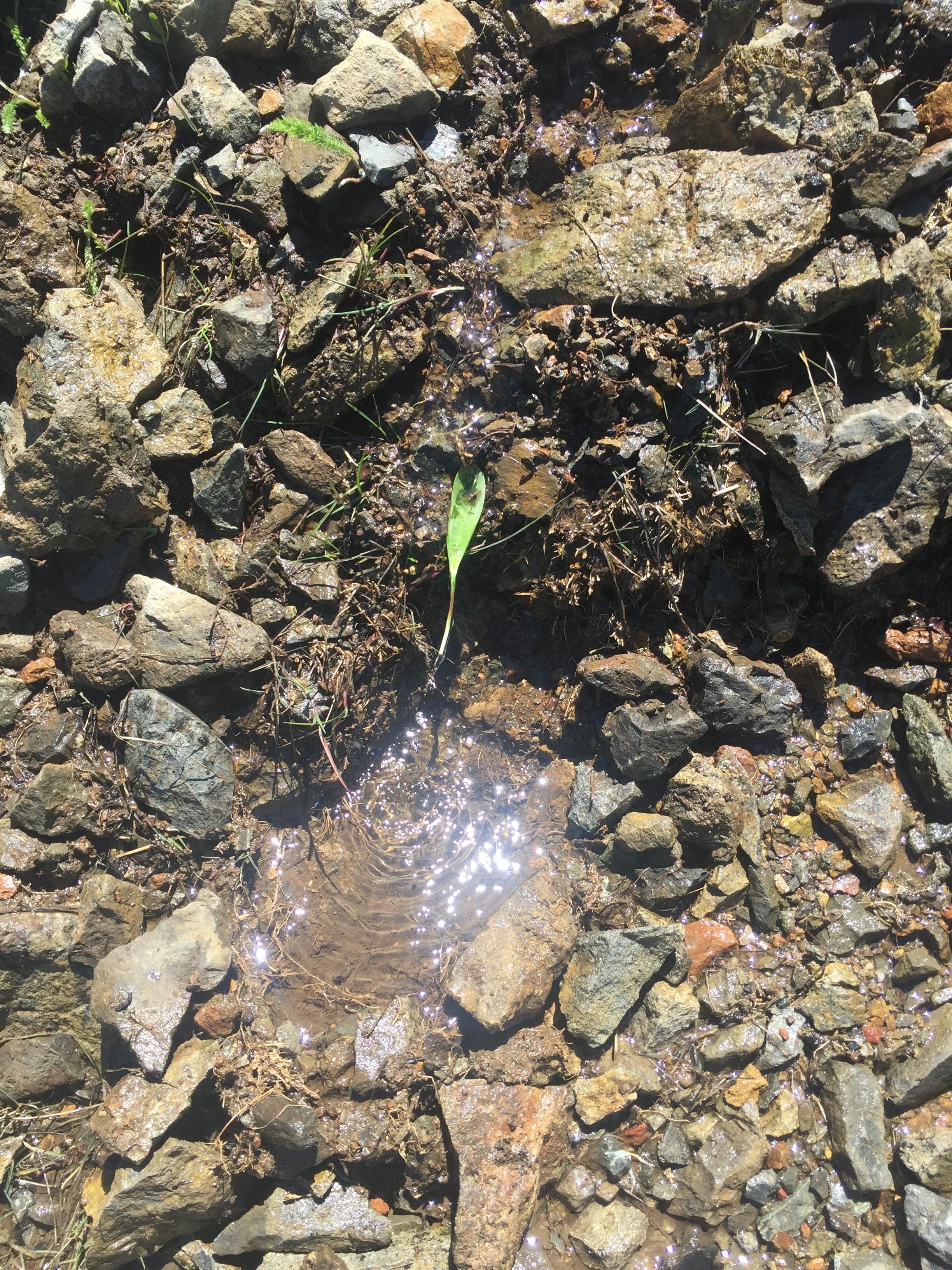
PCT 1693-1709 Little stream from melting snow just above me. Made a little leaf  funnel to gather water
PCT 1693-1709 Little snow to walk across.
PCT 1693-1709 Little snow to walk across. Pretty steep here. No slipping allowed
PCT 1693-1709 Little snow to walk across.

PCT 1693-1709 Little stream from melting snow just above me
PCT 1693-1709 Lots of snow just above me
PCT 1693-1709 Looking out at Mt. Ashland
PCT 1693-1709 Looking at Mt. McLoughlin

After I leave that area I take some pictures of the beauty around me as I head towards a place to camp for the evening.
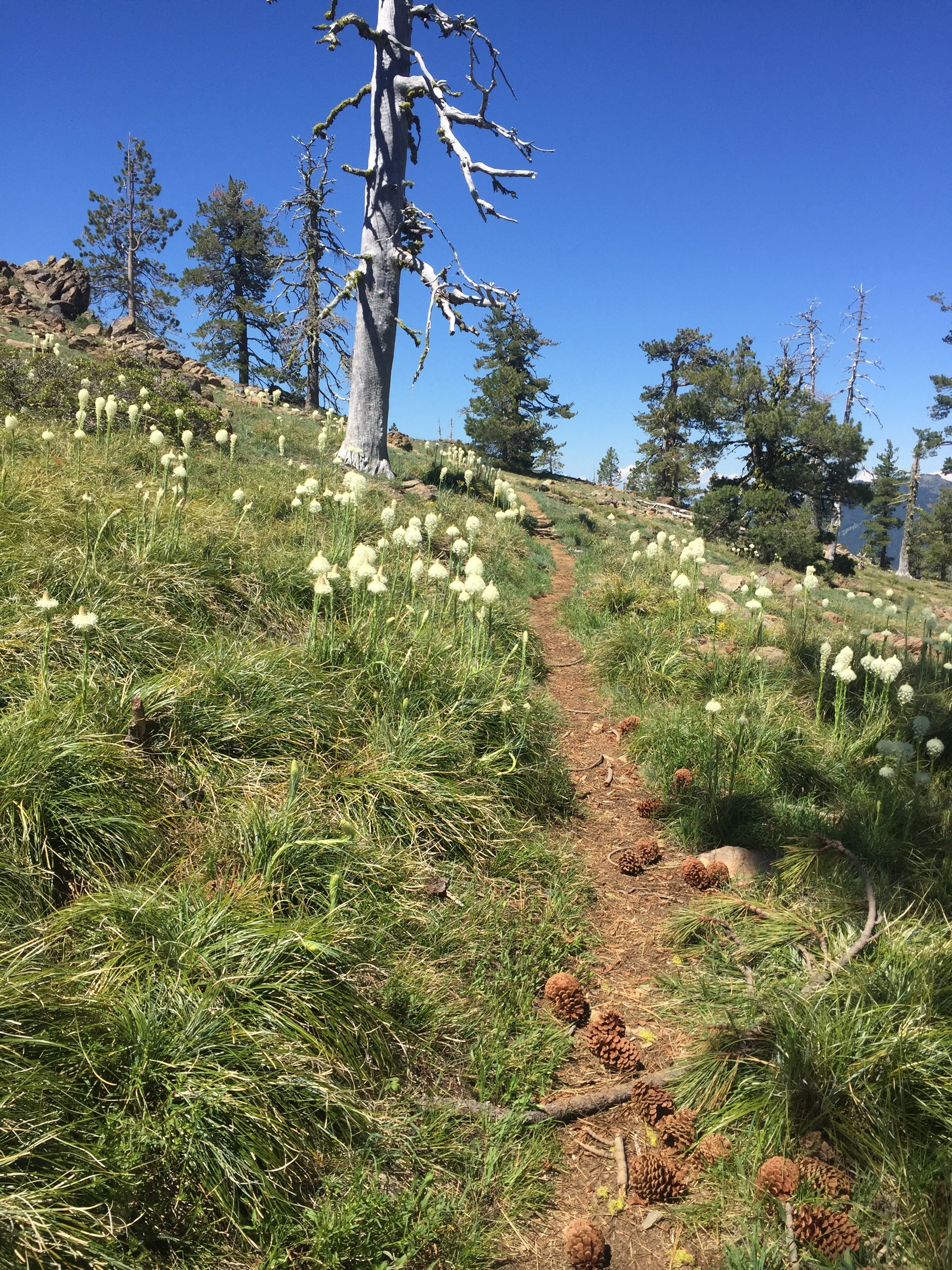
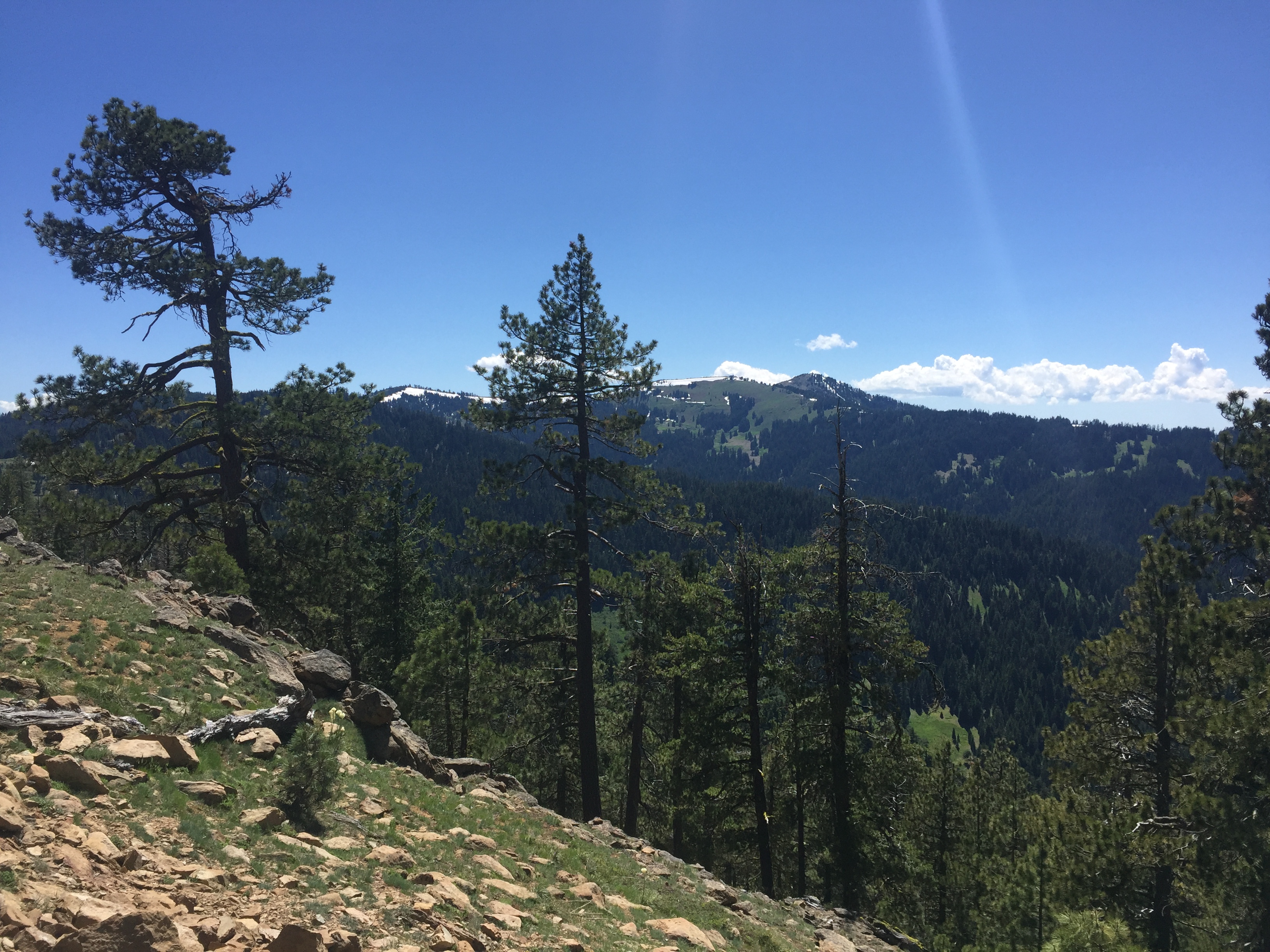
PCT 1693-1709 Coming to a field of Common Beargrass

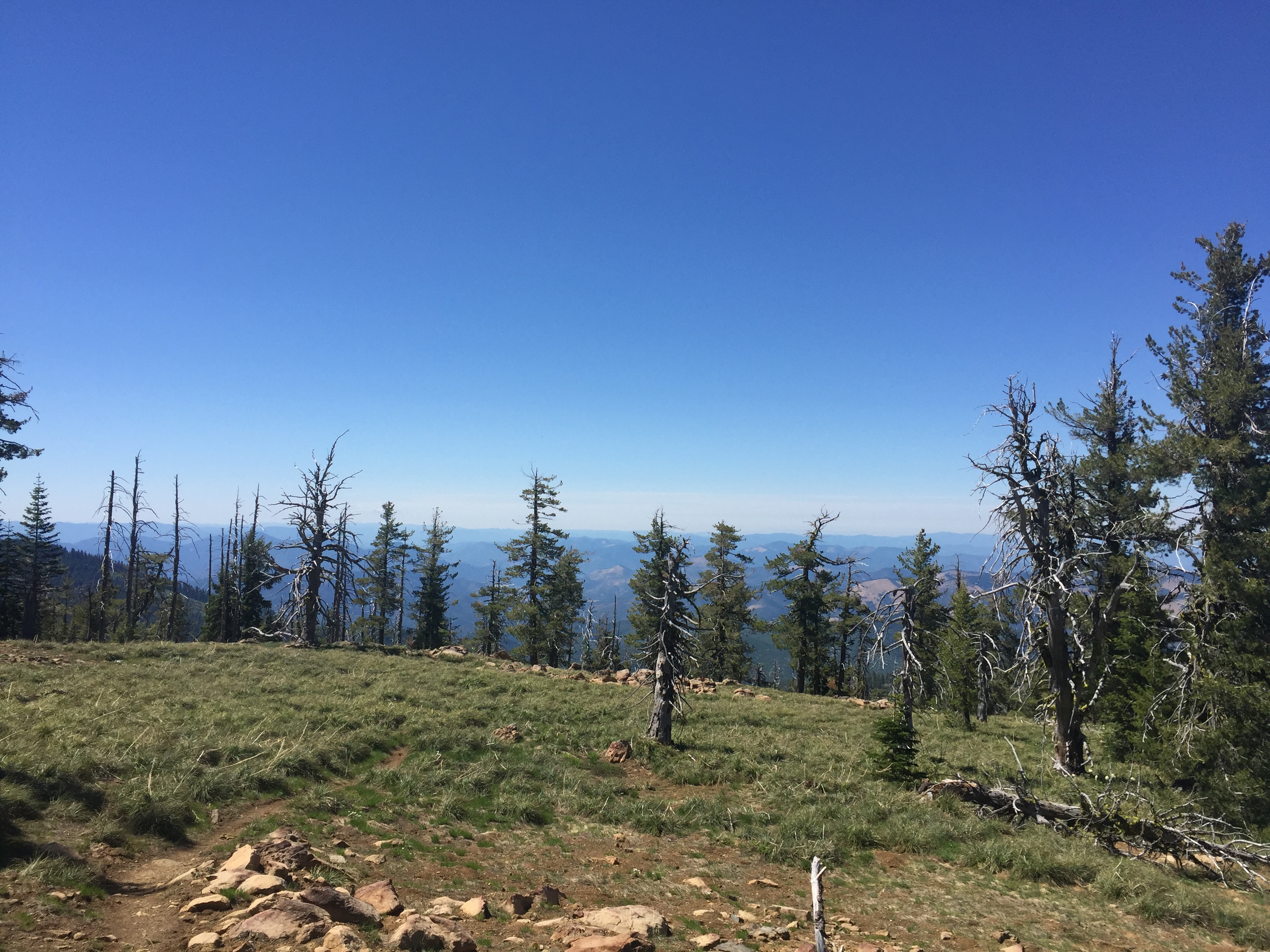
PCT 1693-1709

Around 5:30 I get to a spot that is a great camping site with plenty of water.  So I set up camp and had some dinner and basically just sat around and realized how blessed I was to be able to experience this
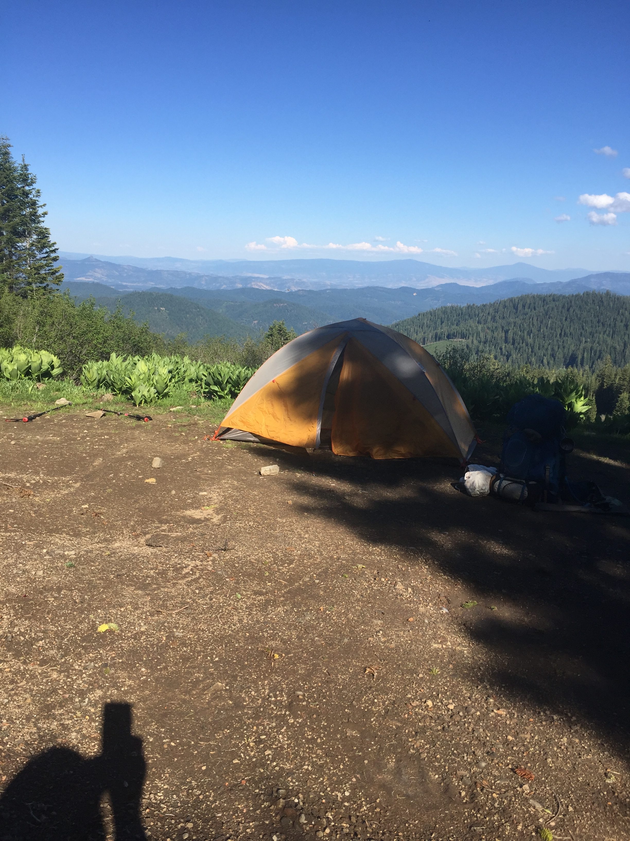
PCT 1693-1709 Campsite


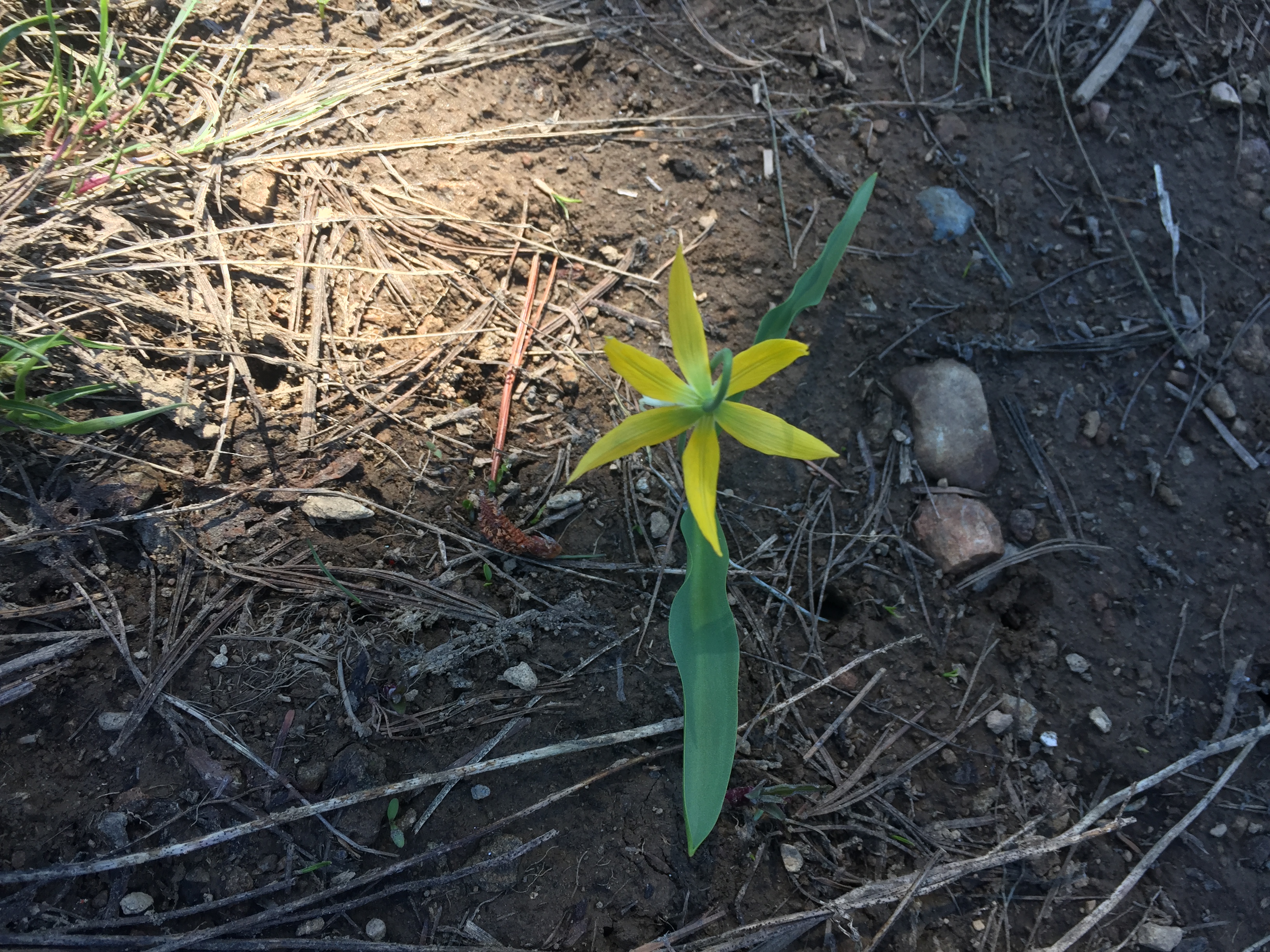
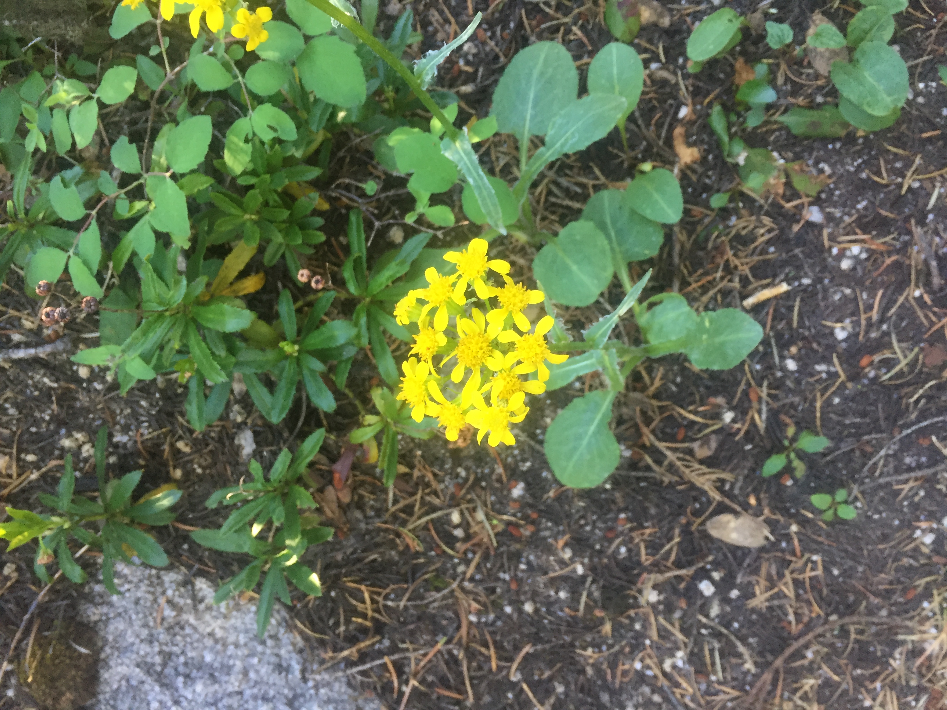
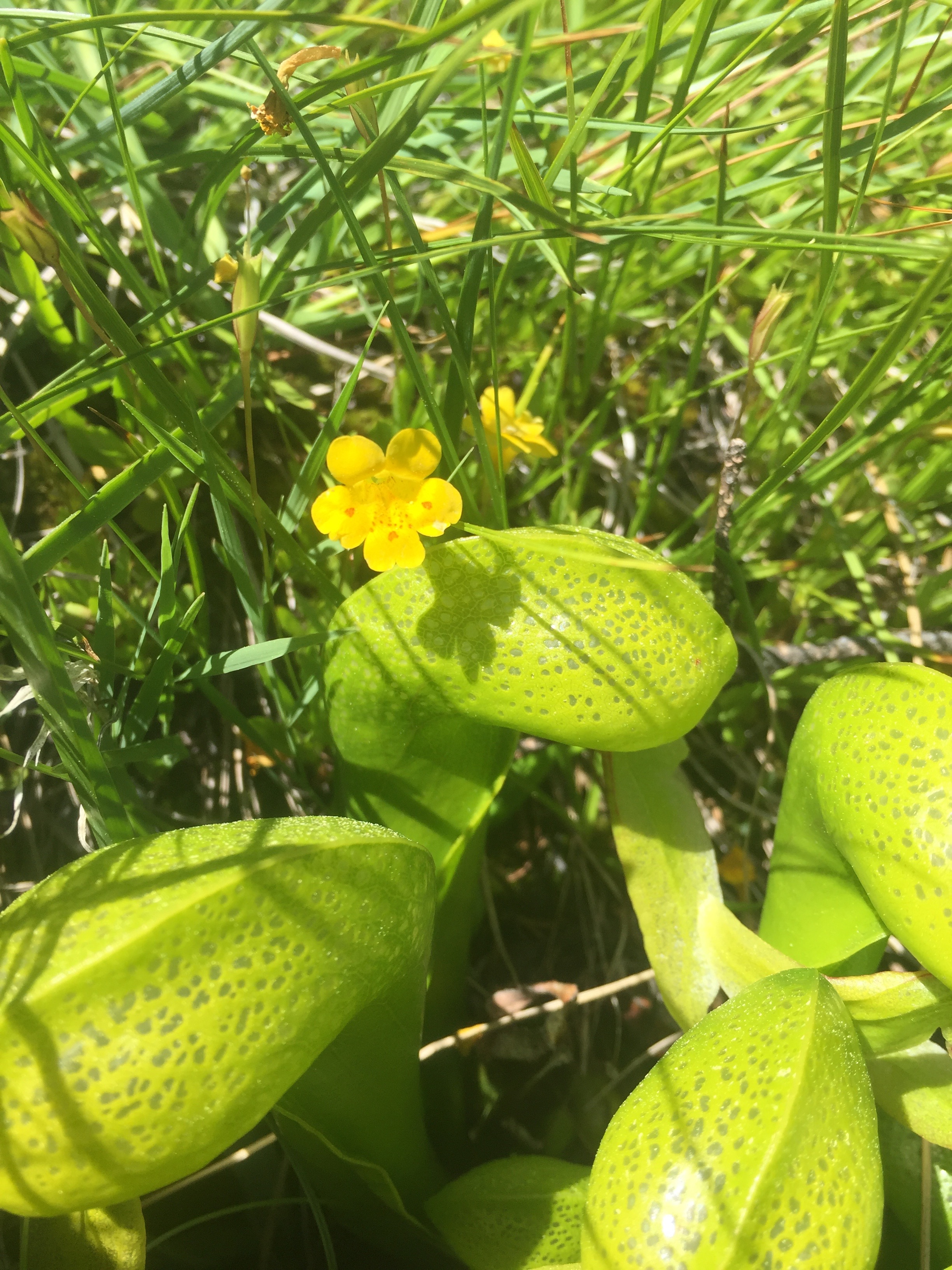
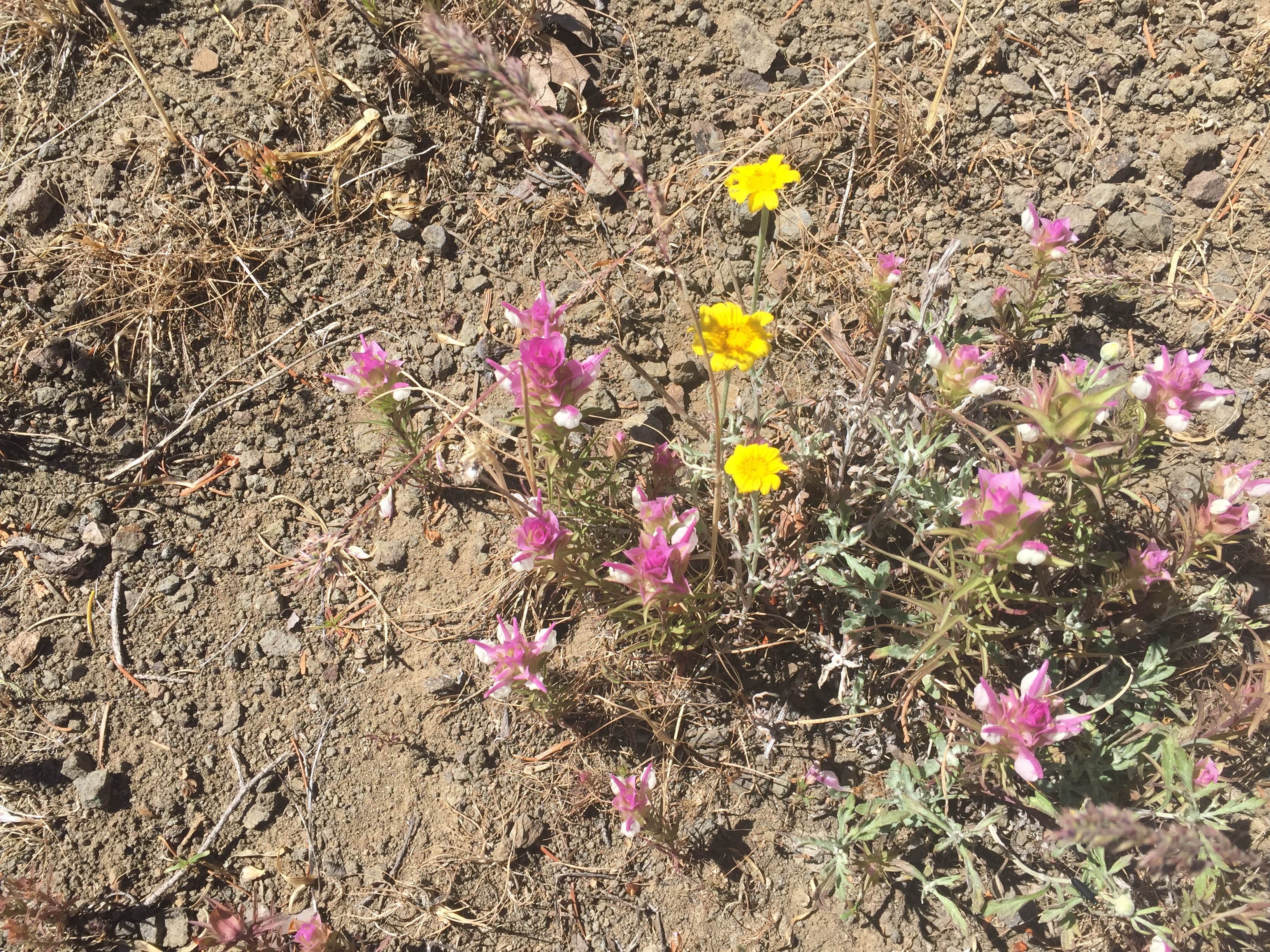
Wildflowers from today:

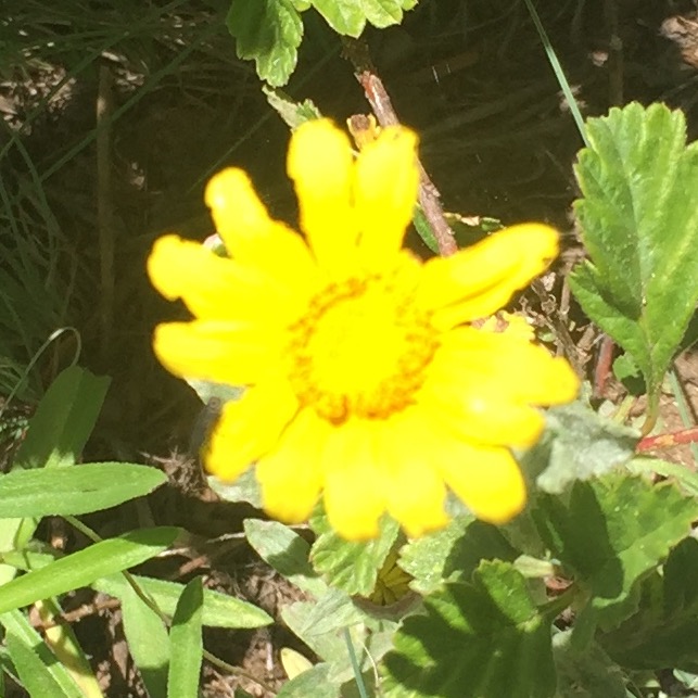
PCT 1693-1709 Yellow Avalanche Lilly
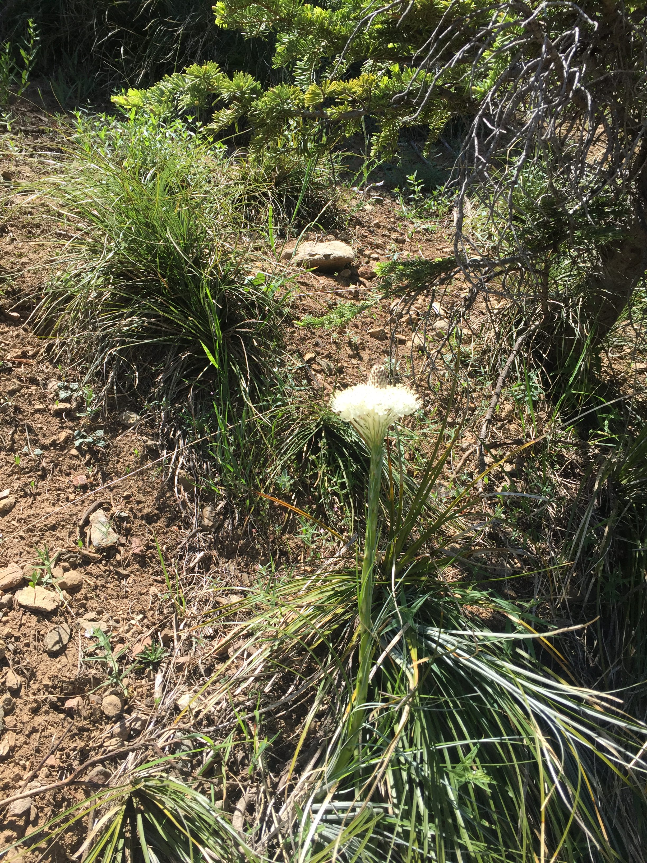
PCT 1693-1709 Common Beargrass
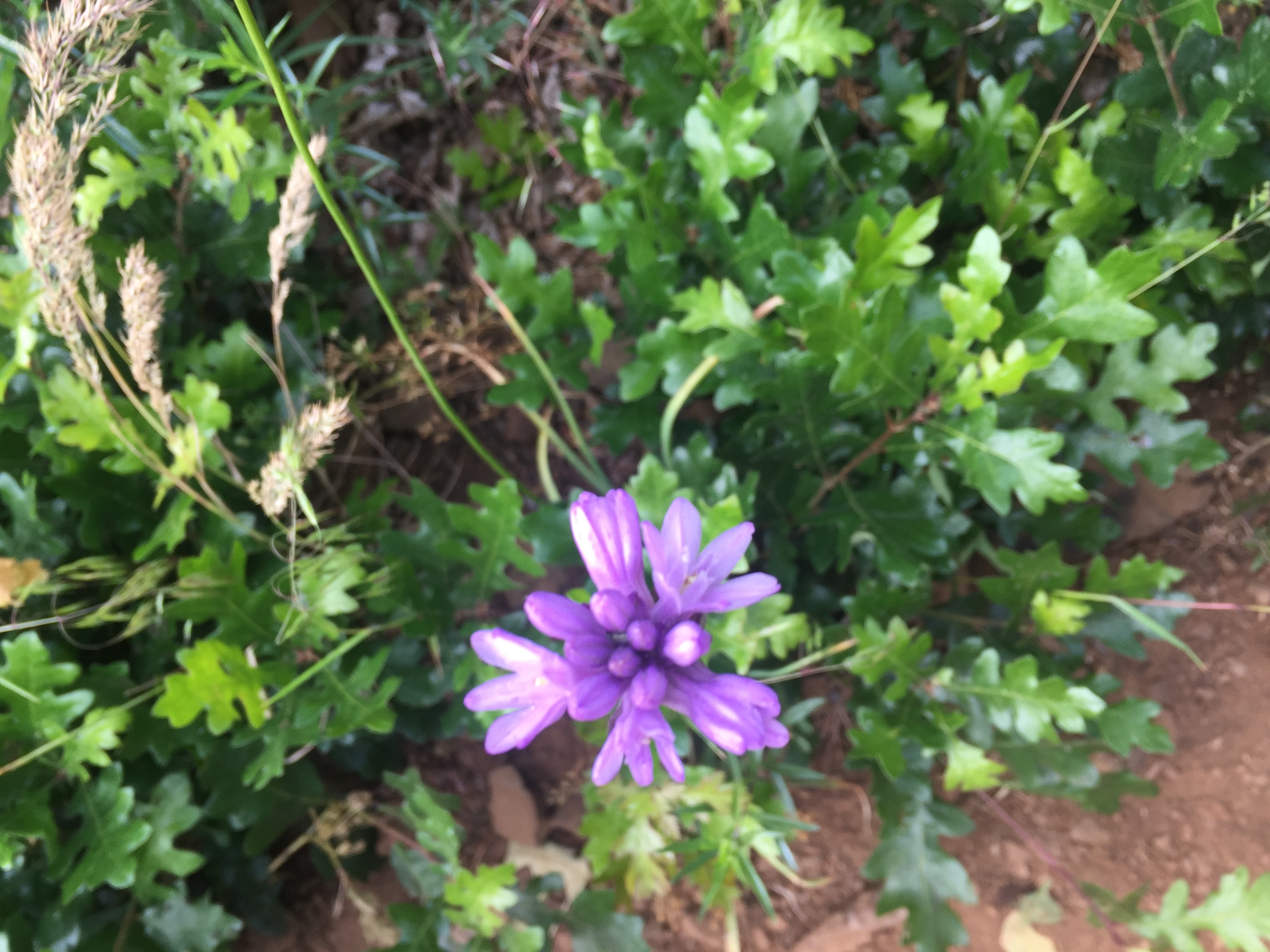
PCT 1693-1709 Unknown
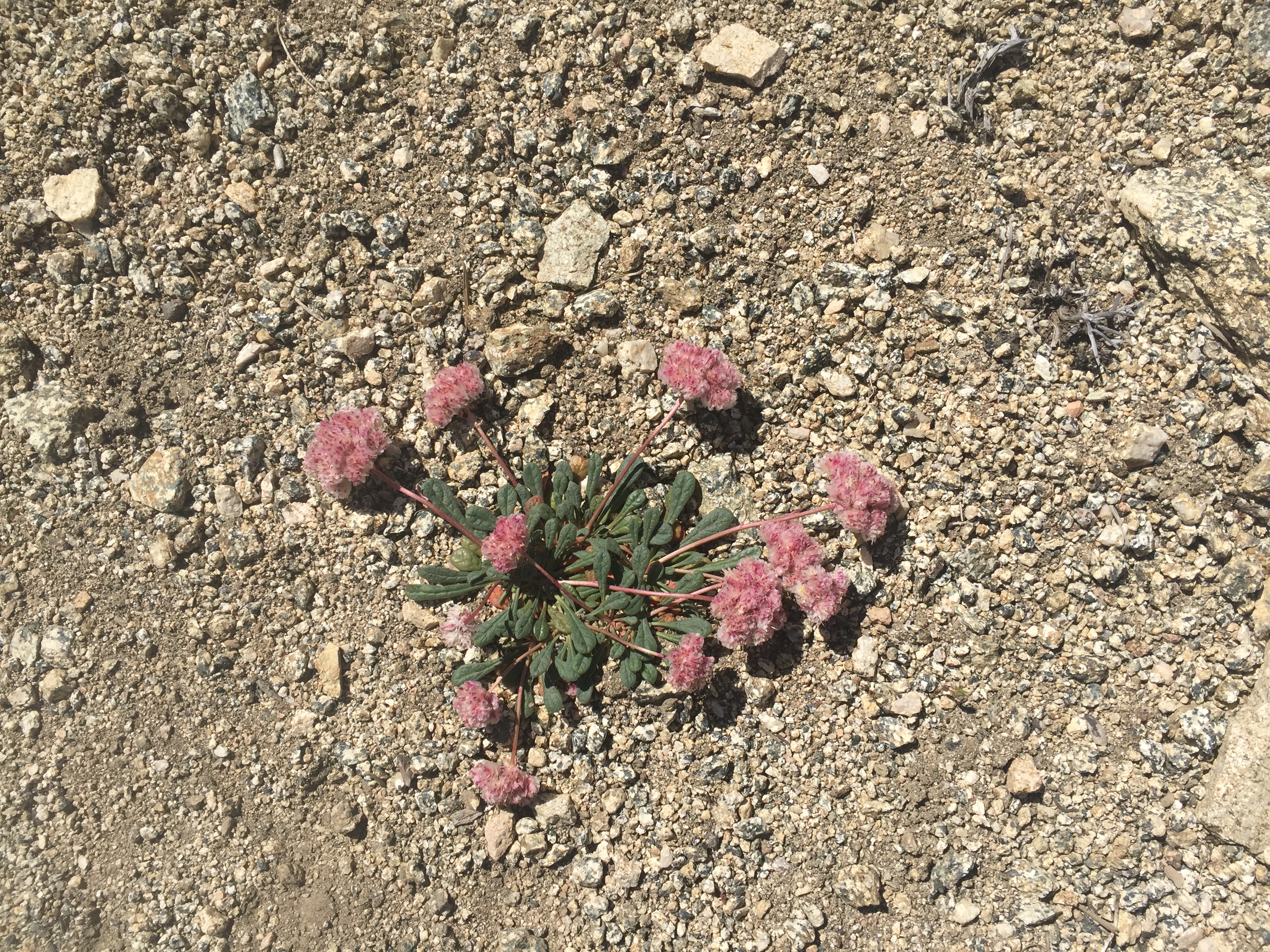
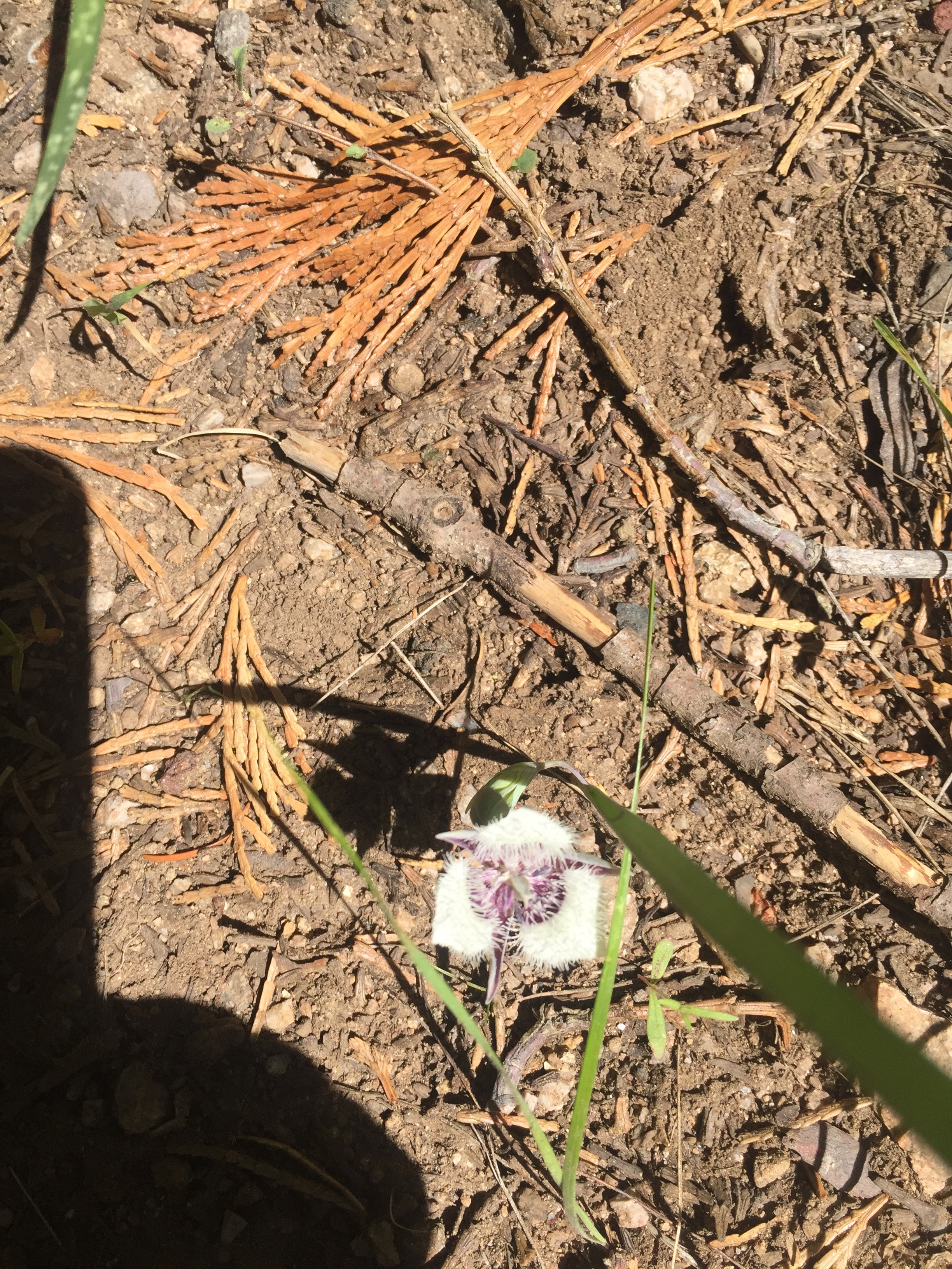
PCT 1693-1709 Mount Hood pussypaws
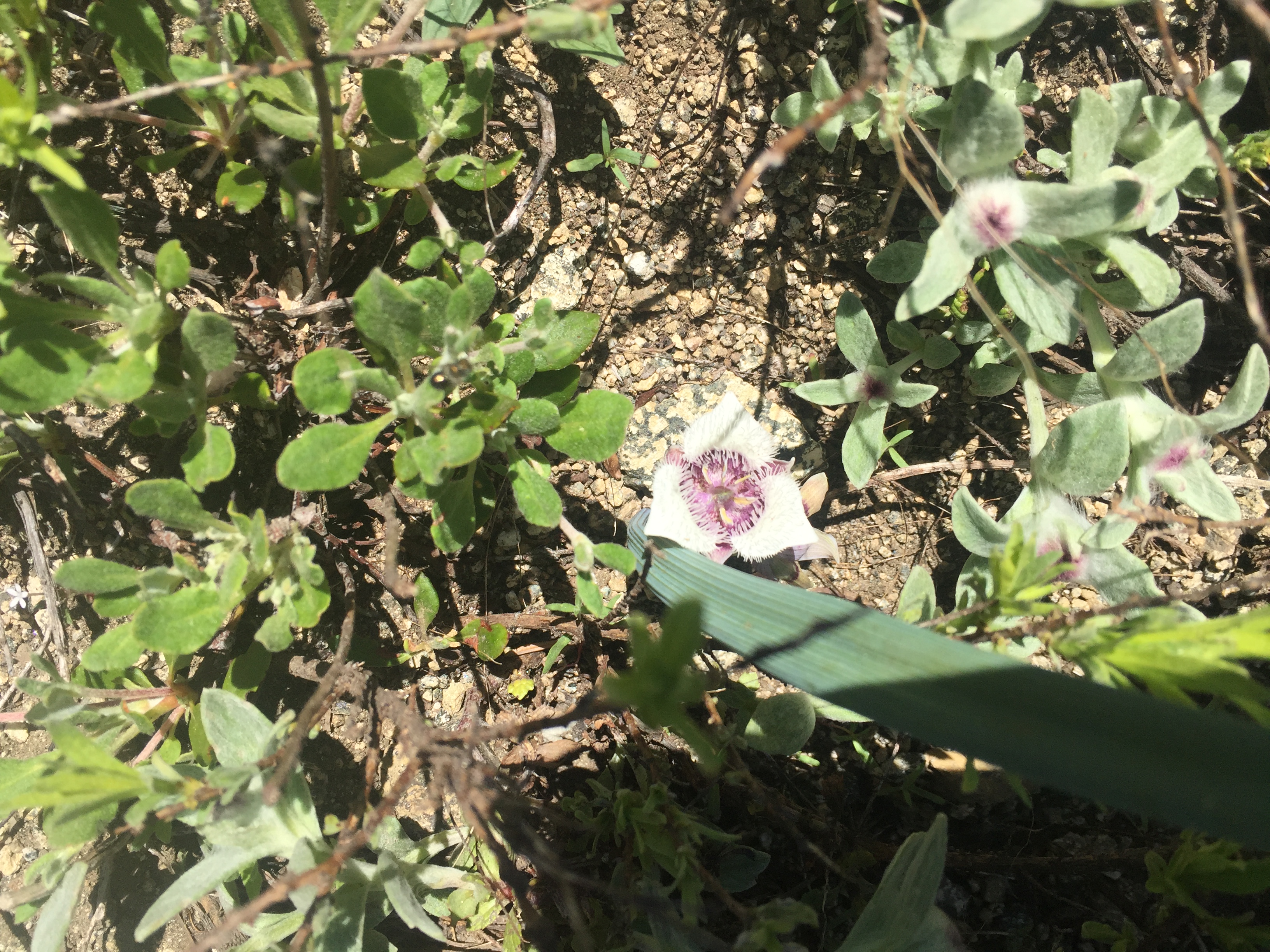
Tolmie’s Pussy Ears
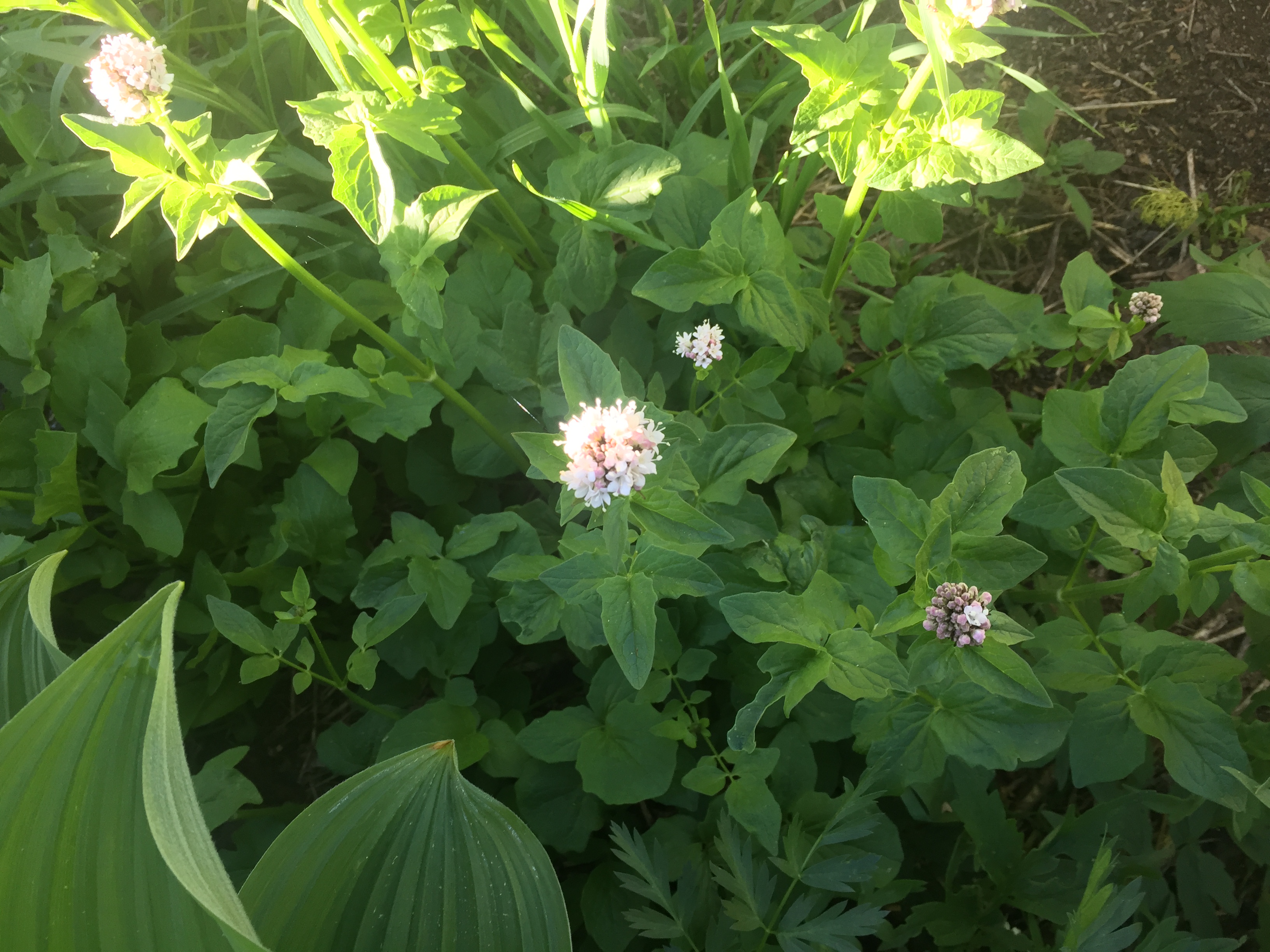
PCT 1693-1709 Valerian (Valeriana officinalis, Caprifoliaceae)
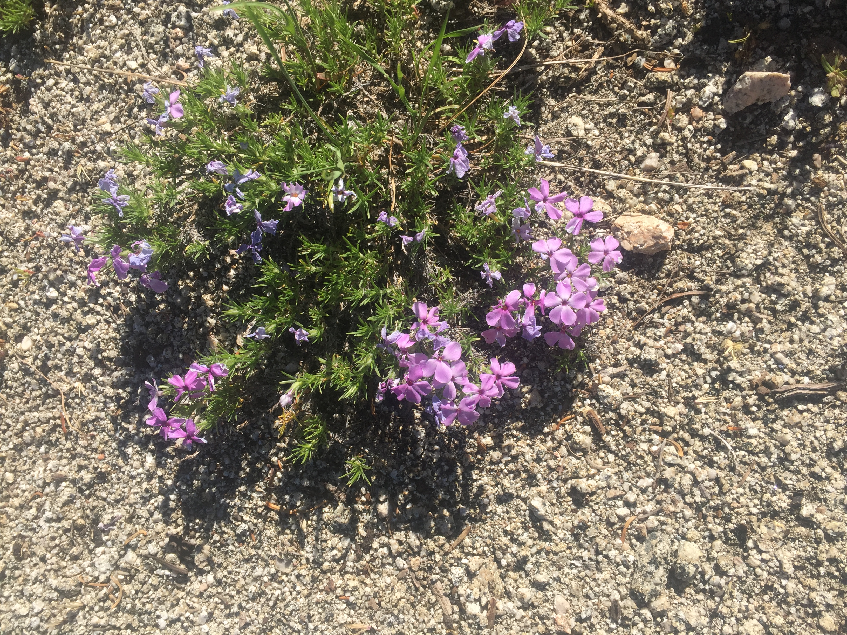
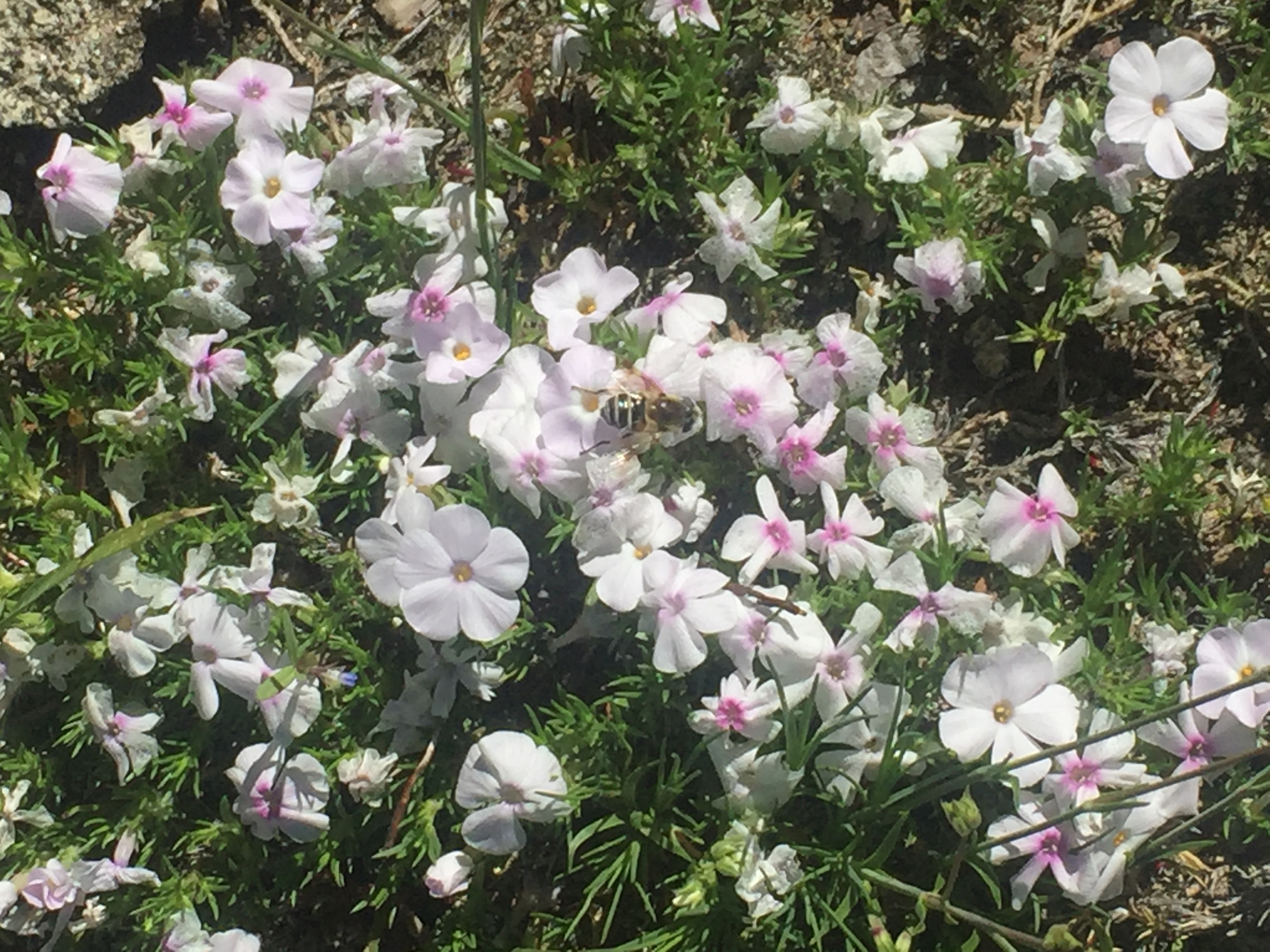
PCT 1693-1709 Spreading Phlox
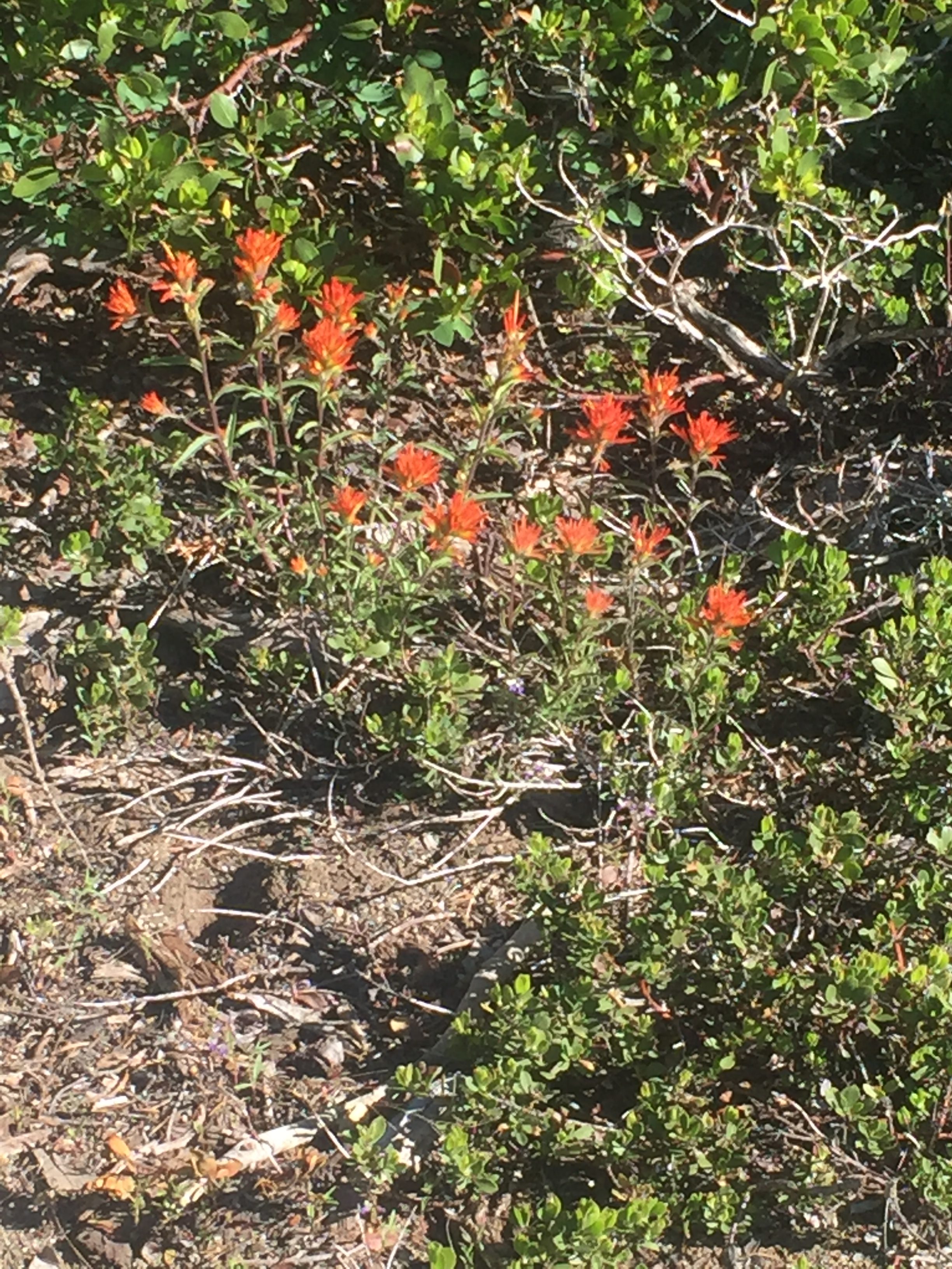
PCT 1693-1709 Indian Paintbrus

PCT 1693-1709 Yellow Pincushions
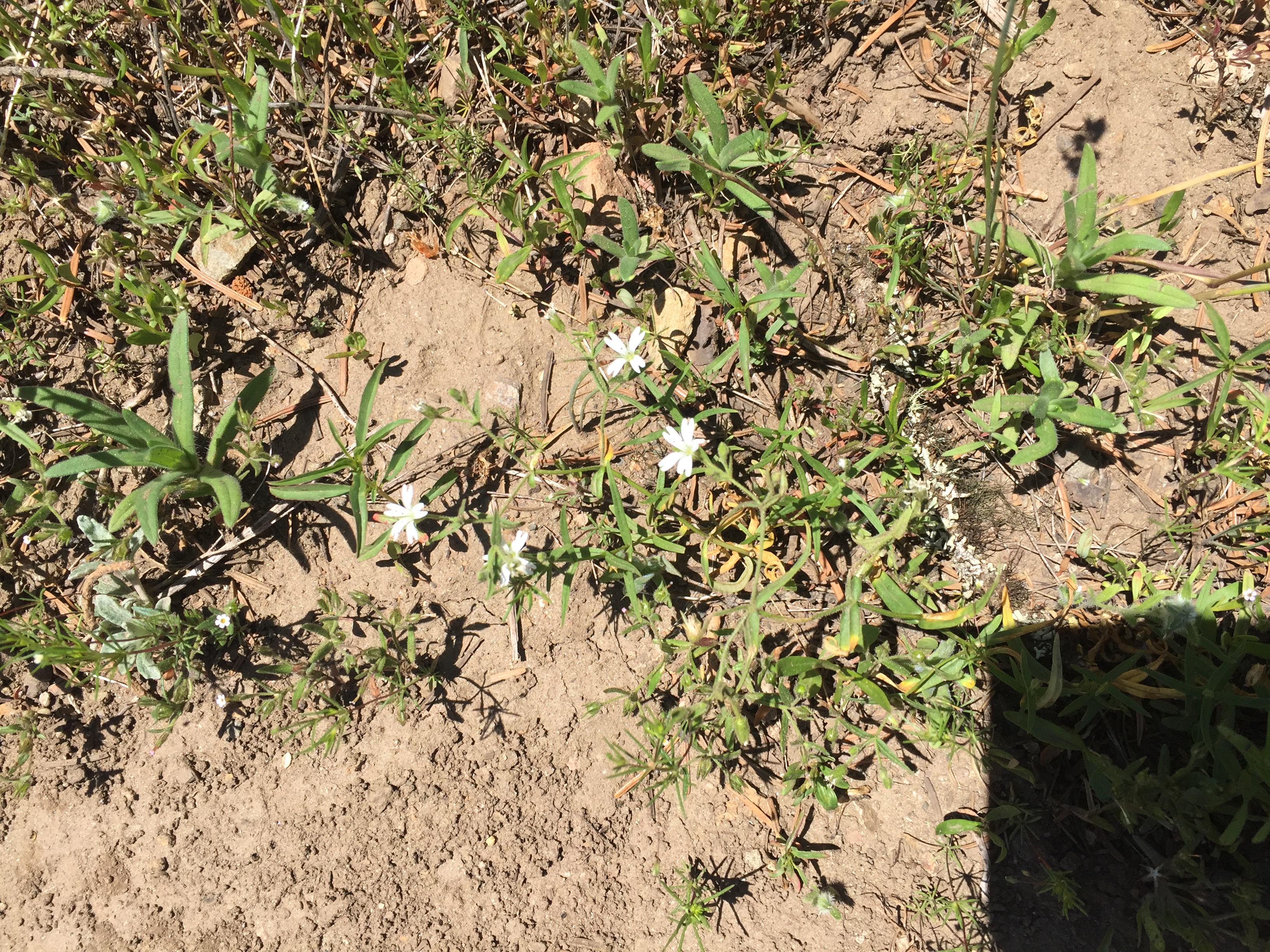
Cerastium tomentosum. snow-in-summer ??

Lenora’s Story:

Today is a real big day for me.  First I drop Don at the trail and head back toward Ashland.  Not a long drive and I am parked and ready to explore a little after 8:30 am.  A bit early I discover as most of the area around Lithia Park and the Shakespeare Festival buildings does not open until 10:00am.   I find a coffee shop and have the most beautiful cup of latte I have ever been served.  I take out my cross stitch and settle in next to a serious computer surfer to relax until shops open.  It is a fun place.  Patron of all ages from stroller occupying babes to silver haired couples wander in to sample the coffee and fancy pastries and I stitch and people watch for almost two hours.  I have a plan.  Explore the town for 2 hours, lunch by12:30 and see the production of ‘Julius Caesar” at 1:30.  A big day for this gal from the wilds of Southern Utah.  I roam far afield and manage to drop in on knitting, sewing, clothing, candy, jewelry and bead shops in a little over two hours when the alarm reminds me of the treats yet awaiting me.  I hustle back to the play area to find the sushi restaurant I had picked to enjoy lunch is not opening at all today so I find a lovely spot for a small salad and a large glass of White Cabernet before the play.  So far, so good.   I am enjoying my day.

Did I mention that  I am a small town gal from a traditional conservative background?  I was raised, from early years on the magic of traditional presentations of classic Shakespeare at the Shakespeare Festival of Southern Utah.  I have continued this love watching festival plays in Atlanta,  Georgia, Austin, Texas and Arlington, Virginia.  I have never seen Julius Caesar and I confess I haven’t reread the play in years so I have a high school students impression of what I am about to see.  (I confess Jan, that I did not do my homework and reread the play before attending. ) This is something we always did as kids before going to the festival each summer from the age of 12.  Imaging my surprise when I enter the theater to see, not Roman columns or street but a stark black and gray broken backdrop to the stage.  Actors wore some modern kind of dramatic ‘mask” and dressed like street thugs with skin tight black jeans and working style shirts.  The setting of the play and the presentation was influenced, the director said in the playbill, by modern dance and the unsettling political climate of today.  I must admit the dialog was faithful to the words of Shakespeare and I found myself mouthing familiar lines, when I wasn’t laughing out loud at what I realized belatedly were valiant attempts to portray the angst of the political climate as seen through the lens of today.

To say I was disappointed is an understatement.  I decided to pass on the opportunity to treat Don to Henry IV Parts 1 and 2 or Merry Wives as I was not sure what further disappointments this ‘modern” interpretation of the classic and timeless beauty of the rich language of the Bard could possibly subject us to.  I fear the Southern Oregon mindset is just a little too modern for this small town girl raised on the classics.

All in all it was a good day and I returned to the hotel to see that Don had made steady progress this day and so a good day was had by all.
June 24 – PCT 1750 to 1771

I’ll never hike again.  That is what I was thinking at the end of this day as I threw my backpack into the back of the car and jumped into the front seat.  I turned down the air conditioner to “Lo” and pointed all the vents at me and sat gasping for good air with tears running down my face.  Tears of joy, tears of the love of God.  I broke down and thought never, ever, hiking again.  So how did it get to this point?  Just a normal day on the PCT.

I wake up just before 4 in the morning to the sounds of some birds singing.  It is still dark and so I just lay there for awhile and listen and think.  I think about “Optimistic” and how fast the PCT got to him.  The PCT is just relentless.  Just when you think you have it all figured out something will happen that you had not planned.  Perhaps a longer or steeper grade than you expected.  A stream that is faster and deeper than expected.  A trail that suddenly turns rocky.  The almost constant worry about having enough water and getting to the next “reliable” water source to find it dry or the “seasonal” stream that is apparently out of season.  Then of course for a lot of the time you are alone, alone with your thoughts.  Those thoughts can be deadly if you focus on the failures and the could-have-been’s in your life or they can be uplifting if you think about your success’s, the few things you have done right, your Lord and your God, the source of all that is good.  If you think about the journey and the beauty around you and not only about the destination.  2650 miles and really some injury is always just around the corner.  It is amazing to me that anyone actually completes the PCT.  From the pcta.org site there is this:

4,881 people have completed the trail.  88 did it more than once.  Walking or riding the entire Pacific Crest Trail is an achievement worthy of superlatives. It represents not just athletic prowess, determination and extreme proficiency in the outdoors, but a devotion and dedication to the magic of the West. To be a 2,600 Miler is to have achieved the remarkable.

that is a shockingly small number considering the number that start each year.  There is a definite increase in the number of people that have completed the trail in recent years.  I think just because SO MANY MORE are trying.  A survey of why people left the trail resulted in this:  36% because of injury.  Seems low.

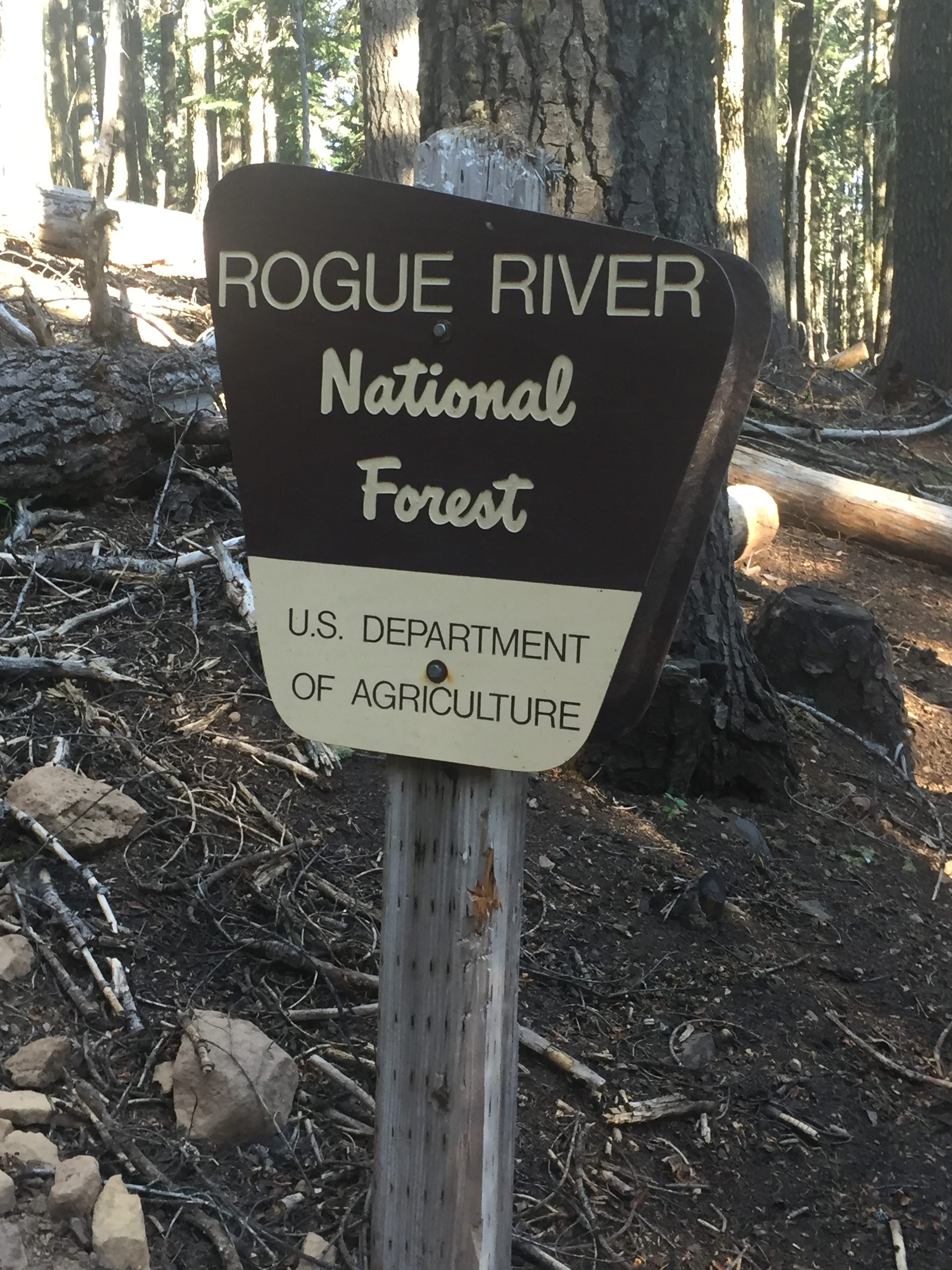
After awhile I turn on a lantern and start packing up.  Once everything is back in my pack I have a good breakfast.  I know I am in for a long day and at the first I have a 5 mile steady ascent.  It looks like it will be gentle but steady for 5 miles.  I have some sausage, some cheese, and two carnation instant breakfasts.  I’m feeling really good and start hiking about 5.  By 7:30 when I reach the Rogue River National Forest I have reached the top of the crest.  I figure the hard part of my day is already over.  Time to celebrate with a snickers bar.   Here are some photos along the way:

PCT 1750-1771 We have ferns
PCT 1750-1771 A nice walk through ferns and shade on a hot day
PCT 1750-1771 Venus’ Looking Glass, Clasping Bellwort, Clasping Venus’ Looking Glass, Roundleaved Triodanis – Triodanis perfoliata
PCT 1750-1771 A look out on the Roque River National Forest
PCT 1750-1771 Nice sign

The sign above is at the top of a mountain called “Old Baldy”.  As you can see it is definitely not bald.   It gives me hope 🙂

Thus far the trail has been pretty much as expected.  Nice soft forest trail with lots of shade.  I can tell it is getting warmer pretty fast but the shade of the trees is perfect protection.  I have 16.31 miles to go and I’m feeling good and strong.  No issues.

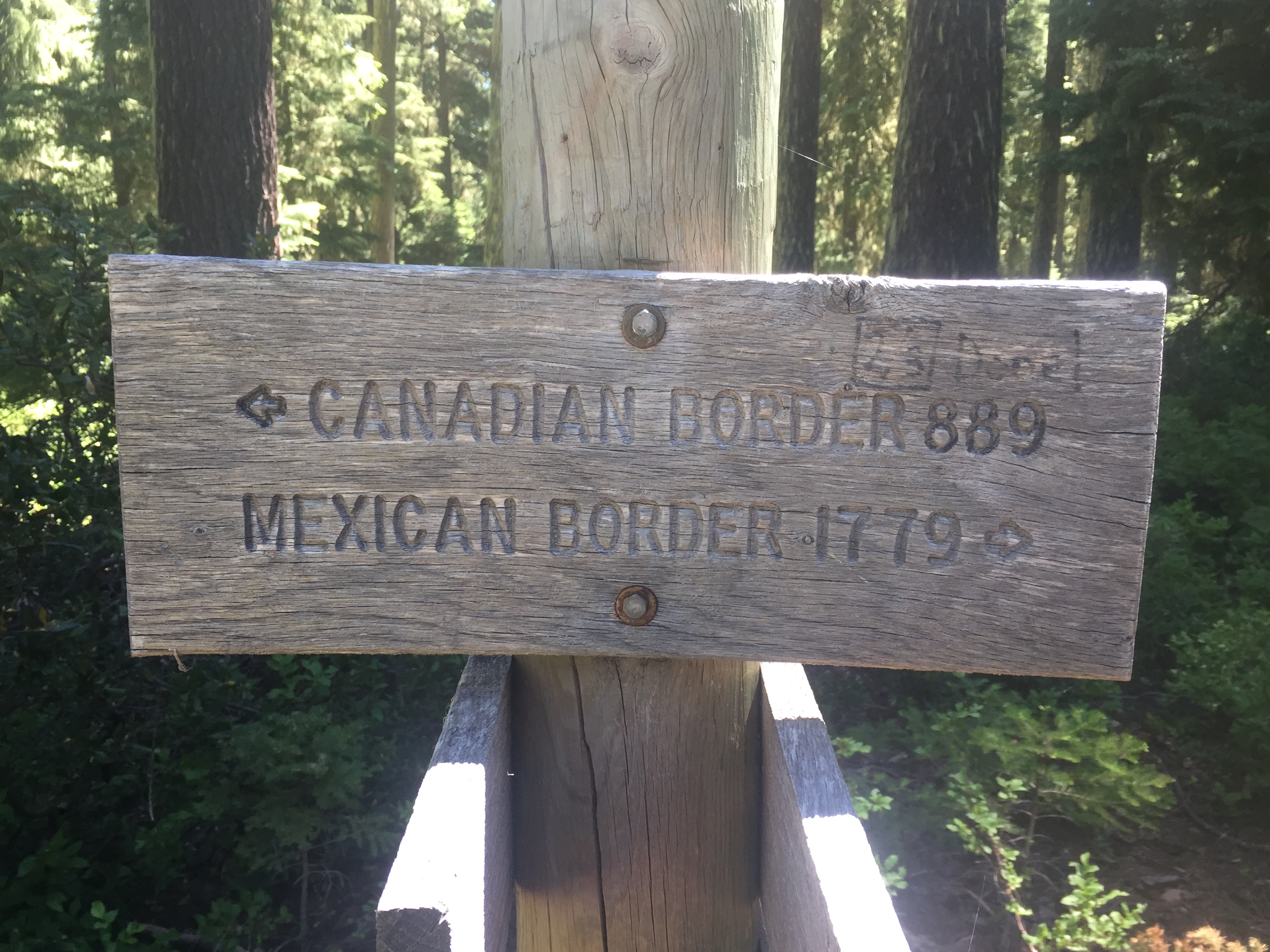
Another 4.5 miles and I reach Dead Indian Memorial Road.  The same road (but not the same spot) where I picked up “Optimistic” a couple days ago.  This is a paved road with good access to the PCT and locals will park here and do short hikes.  As I get here and decide to rest and have a chocolate/oatmeal bar and a lot to drink.  There is suppose to be water a couple miles ahead so I splurge a little and drink a lot.  A couple drives up and parks and heads out on the trail the same direction I will be going.  A man, a woman, and a dog walk past my resting spot but don’t seem interested in talking.   After awhile I start again and reach the “reliable” water spot which is dry.  I still have 2 liters of water and that will probably be enough.  Near the dry reliable water source there is this sign which puts me in a good mood.

Sign is a bit off given current PCT Trail as it is only 1761 miles to Mexico

Anyway at about this time the couple comes back on the trail towards me and tell me there is a small pond just ahead on the right.  Sure enough in about a half mile there is a small stream and pond.  So I take the 2 liters container I have and empty it into my camelback.  I’m wondering if I really want to load up the 2 liter container again but decide just to be safe I will.  As I take out the purifier from my pack I notice I still have some electrolyte tablets left in the bottom of the pocket.  Great, I thought I was out and now I have enough for 4 liters.  Don’t think I’ll need them but I add two to the camelback and save 2 in case I need the other two liters.  I had gone forward a little to some shade and so now I walk back with my two liter container and a cup to scoop up some water back to the pond.  As I am scooping up the water, I hear a clear and loud voice say “take three”.  I am shocked, stand up and look around.  Nobody is there.

Ok, I believe that God has been with me all along on this trail.  It is not like I have a bubble of protection around me or anything but He is with me.  When I badly burned my leg 2 days from civilization, He sent me a medically trained woman doing the PCT on a horse with a full medical kit and knew how to wrap my knee to protect it from infection and wrap it so it would not come off while I walked.   She happened to be there because the trail was blocked by a large tree that she could not get past on the horse so she had to backtrack.  When I needed water to continue, He sent birds across my path that dove down into some brush.  Could the birds have gone done there for water?  I hike down to where the birds went and there behind the brush is a small pond coming from nowhere, that cascades down a rock to a lower pond that goes nowhere.  This water source is not marked on any PCT map or application.  When I was sick on the trail, He guided Lenora through the wilderness on closed rocky roads and she found 2 hikers that had seen me and knew where I was and told her they would go back and get me to her.  This was not my most shining moment but it was a good one for God.   There have been countless moments when I needed a fresh breeze to cool me down and keep me going.  Out of nowhere, He sends a fresh cool breeze.  This will happen later today as well.  To quote Gibbs rule 39, there are no coincidences.

At this point I have 9.92 miles to go.  There is no indication that it is anything more than an easy walk in the woods.  Why should I “take three”?   I’m having a conversation in my head now cause nobody else is there.  It is only out of an abundance of caution that I am getting 2 containers full, taking 3 containers seems just foolish.  Just more weight to carry without reason.  I do have another container back in the pack.  I can go get it and fill it up..  I decide not too and I get back to my pack and add the purifier and again I hear “take three”.  I am actually a little annoyed at this point.  Why am I being nagged?  I consent.  I dig down in my pack, find the other container, fill it up, purify it, put it in the pack and say THERE!!  It is 11:30 and about 10 miles to go.  Feeling good and strong.  No issues other than slight annoyance 🙂

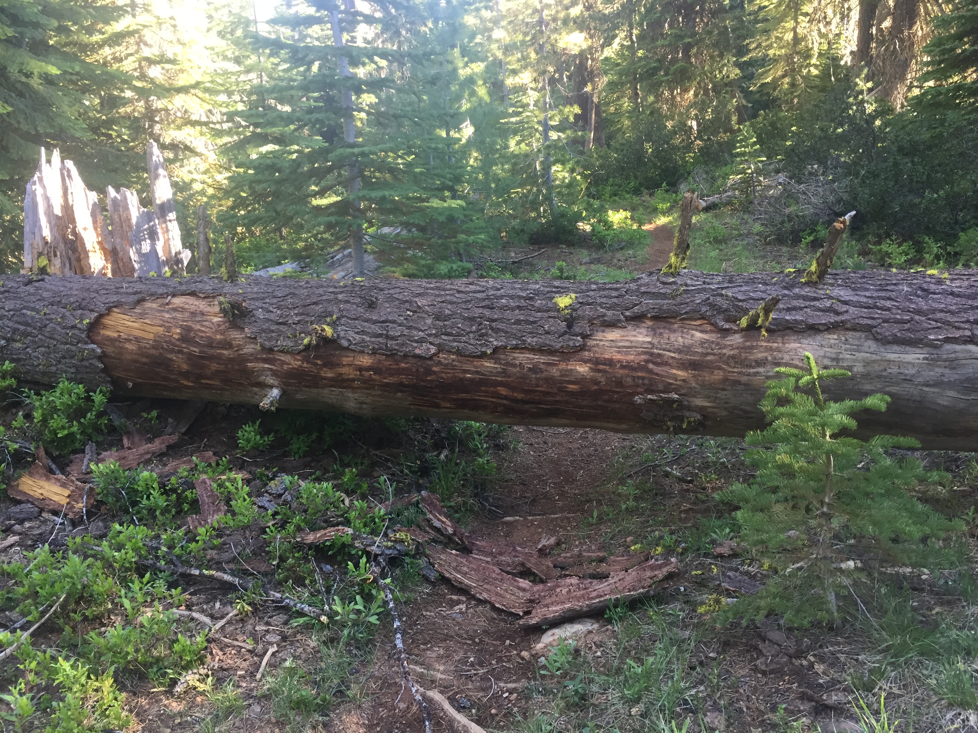
This part of the trail has not been very well maintained.  There are many trees across the trail that need to be navigated.  Most I can get over because of my long legs.  Some I have to go around but there is usually some little trail around the tree as others have the same problem as me.  It is just something that slows you down a little.

PCT 1750-1771 I believe I was able to go around this one

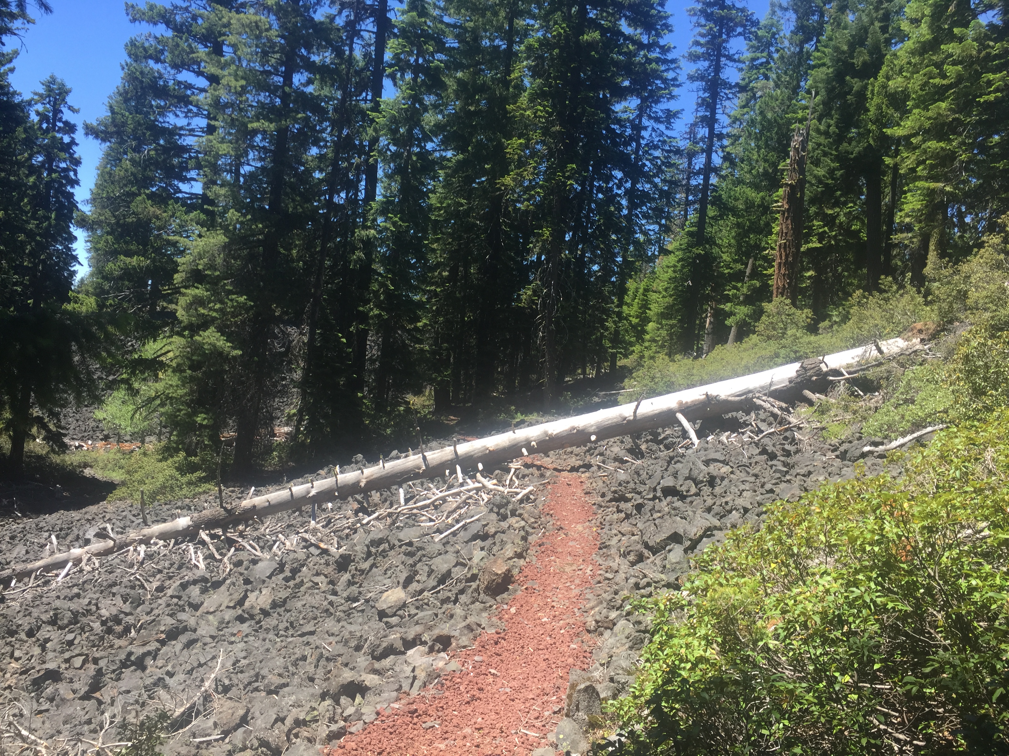
In about two miles I cross a small dry creek and enter into the Brown Mountain lava fields.  It is about 1 pm and I have a little under 8 miles to go.  When I see the lava field I take out my phone and look at the halfmile application to see what lies ahead.  Normally it will tell you about roads, about campsites, about water sources, about interesting features.  The only thing it says is that in 7.75 miles you will reach Hwy 140.  So it is 1pm, the heat of the day, and I’m about to enter into 8 miles of the Brown Mountain lava fields, or as I like to call it, hell!

I am blessed for a couple things here.  There is some shade during this time.  Between the lava fields there are pockets of trees to provide some shade.  I have 6 liters of water and 4 or those liters have electrolytes.  The grade is sometimes up and sometimes down but never a steep grade and generally it could be classified as gradual.  So I have a lot going for me here.  But it takes me until 7 pm to cross these 8 miles and there were times when I was sure I was going to overheat.  It was at least 90 degrees air temperature and the lava rock both gathered and reflected the heat.  I can’t even begin to describe how hot it felt.  My feet, in new thick hiking boots, could feel the heat on the trail.  After about 1 mile into it, I realized my eyes were getting burned or so it seemed.  As I looked down at the trail it was blurry.  BUT, I had a pair of cocoons that I had infrequently worn but always carried and I put them on.  It seemed like just putting on the sun glasses dropped the temperature a bit and my eyes felt much better.

There had been a couple trees down across the trail in the lava field.  One I could step over.  One I decided to go around into the lava rocks and decided I would not do that again.  Might not look it from the photo but the rocks are large and jagged and it would only take a simple misstep and the game would be over with a broken ankle or worse.  My only choice on the tree below was to go under.  Off came the pack and I crawled under.  Guess what is under that tree?  Yes sharp and very hot rocks!  At this point I realized I was walking on rocks hot enough to burn you.  Or at least to burn a sissy like me :).  It was at this point that I said a few bad words.

PCT 1750-1771 At this point I was not a fan of Oregon
PCT 1750-1771 part of Brown Mountain lava field
PCT 1750-1771 Mt. McLoughlin… my target


Each crossing of a lava field to some shade seemed to get more difficult and I would be breathing very heavy to try and get enough oxygen.  I was not actually gasping till near the end when I would rest I would actually be heaving to get air.  I would just sit down until I could breath normally which was generally about 20 minutes.  Each time I would consume a bunch of water.  When it was finally over I had about 2 sips of water left of that 6 liters.  “Take three”.  Yes Sir, I will never question your will again.

I have decided I will hike again.

Lenora’s Story:

“I’ll never hike again”.  Not sure how I felt about that.  It is a little scary when you pick up your love and have him climb into the car and burst into tears.  I had watched his progress all day and knew it was a hard day by the miles and the stop times but I was impressed that he had done so well.  That was until I saw how very very used up this day on the trail had made him.  What do I say?  How do I say, without being unsupportive, “This is crazy!!! Why do you do this to yourself?  You should be done!  It is time to go home.!.”  Yet I got over that impulse and as the evening  wore on he got over the exhaustion and the elation at having survived and was ready to consider hiking again.  So once again I am in for the duration.

While the Holy Spirit is talking to my husband I am spending another day at the really really hard job of doing needlepoint all day.  Each day begins and ends with fervent prayer to protect this man as he continues his journey.  Today I now know my prayers have been given extra attention.  Thank you Lord Jesus and Abba Father for continuing to guide our lives and steps.


Don: Post Script

At Church on Sunday one of the songs was Be Not Afraid

You shall cross the barren desert, but you shall not die of thirst.
You shall wander far in safety though you do not know the way.
You shall speak your words in foreign lands and all will understand.
You shall see the face of God and live.

The sermon was about how we should not be afraid.

June 23 – PCT 1733 to 1750

So today starts the next test.  A 2 day trip with a pretty normal pack except it only contains enough food for 2 days and 1 night.  And because it is suppose to be in the 90’s and perhaps 100 there is no need for any cold weather gear or rain gear.  I’m guessing the pack is at about 35 to 40 pounds.  I start where I left off 2 days ago at Hwy 66 and plan on going to Hwy 140.  Notice that I took a day off, not because I was all that tired or hurting but I just was not sure what the next hike should be.   The hike between the Hwy 66 and Hwy 140 is 38 miles and seems very possible.

But on yesterday I hear from “Optimistic” again.  Turns out he wants me to pick him up on Dead Indian Memorial Road which is between the 66 and the 140.    He figures he will be there about 6:30 pm and I tell him I’ll be glad to come get him.   Anyway I was curious how a road could have such a name and so I googled and found this:

By late summer 1855, vengeance and retribution were about to explode. Settlers and American Indians both felt the tension.

By late summer 1855, vengeance and retribution were about to explode. Settlers and American Indians both felt the tension.

Two years after the 1853 Rogue River Indian War had ended, fear and suspicion were stronger than ever.

In September 1855, Fred Alberding was returning to the Oregon Territory after a year living in the United States. He made camp in the Siskiyou Mountains off the Applegate Trail.

When he woke up, one of his horses was missing. Seeing smoke from a nearby Indian village, he decided they must have taken it.

He hurried to Ashland, where he spread the news that Indians had stolen his horse on the Emigrant Road. It didn’t take long to find 15 men who were willing to go out and “lick them Indians,” just to get Fred’s pony back.

They rode to the Greensprings and camped, intending to attack the village before daybreak, but they overslept and the attack came well after sunrise.

The Indians had been peacefully gathering berries for the winter, but as soon as they saw the attacking settlers, they grabbed their rifles, took shelter behind trees and opened fire.

One settler was shot through the hand, another through his arm and Alberding was wounded above his eye. Granville Keene was dead.

The outnumbered “posse,” chased by the tribe, scrambled for their lives. Only when the Indian’s leader was wounded did his men stop their pursuit.

The next day, a detachment of 38 soldiers from Fort Lane were ordered to recover Keene’s body. Nearby Keene Creek would be named for him.

It was an embarrassing defeat for the volunteers, especially when Alberding’s horse suddenly reappeared, dragging a large tree branch caught in its harness. It was the same branch that Alberding had tied the horse to on the night it had disappeared.

With a rumor that Keene’s body had been mutilated, another, larger company of volunteers set off to find his killers.

To the west, not far from an old Indian trail, buzzards circling in the air drew the men to an abandoned Indian camp. There they found at least two, and some say as many as 15 murdered bodies.

Because items were found that Alberding’s volunteers lost when they ran away, it was assumed that these Indians were the ones who had attacked on Keene Creek.

Who had killed the Indians has always generated controversy. Some say it was the volunteers, although it was a time when a settler was likely to brag about killing an Indian, and no one ever did.

Another story said members of an Indian tribe who camped along Little Butte Creek had told Indian Agent Ambrose they were the culprits.

According to the account, fearing they would be blamed for Keene’s death, they had sent a war party to the camp and murdered the men of the tribe while letting the women run away.

The area where the bodies were found soon was known as Dead Indian Prairie, and when the settlers began developing the Indian trail they named it Dead Indian Road.

In 1993, after years of protest, the road was renamed Dead Indian Memorial Road.

And, as happens so often in our history, after all these years, no one knows for sure what really happened.

Writer Bill Miller lives in Shady Cove. Reach him at [email protected].

When I get there to pick “Optimistic” up he simply shakes his head and says the the PCT just kicked his butt.  I laugh out loud and tell him the story of me at REI getting ready to start the PCT and the salesman convincing me to train for a year because frankly the PCT is going to kick my ass.  Here is a copy of that blog post:

I then decided that my next test would have to be a full blown training hike with complete hiking backpack, tent, pad, etc.  Full blown simulation.  (A description of some of my training hikes in the next post).  Of course, I had NONE of this stuff.  I have never backpacked before.   Time for a visit to REI.   Not my first visit to REI and I have always enjoyed shopping there to get clothes and “stuff” for various birding trips.  However I was exceeding lucky (blessed) on this trip as I hooked up with Gary, a very fit employee about my age who was a backpacker.   I told him I needed some backpacking supplies such as a backpack and tent.  Ok he said, what are you planning to do?  I’m going to hike the PCT.  Ok he said, when?   This year.  Ok he said, have you ever done an backpacking before?  No.  OOOOOOKKKKKKKK he said.   So we went over and he picked out the backpack that he thought would be best for me and for the PCT.  We then went over and he helped pick up a tent and pad that he thought would be best for the PCT.  Then he said, you really think you should hike this year? Yes.  OK, then we went over and helped me pick out some trekking poles and some water proof bags to hold “stuff” in, and talked to me about stoves and food supplies.  Then he said, if you have never done this before, it my personal opinion that it would not be best for you to do the PCT this year.  You need to get some experience first.  The PCT will kick your ass.  I smiled and nodded.  Ok, water bottles, water storage, water purification, emergency equipment, rain gear.  Then he said, I would not feel good about myself if I let you walk out of here without saying again that you should not try to walk the PCT this year.  You need to try it out first on small adventures to get trained up and to make sure you even like it.  Thank you, I said, I will think about it.  Ok he said and on we went, socks, gloves, hats, boots (size 10.5, the same size I have worn my entire life).

So, I gave him a ride back to our hotel and he got a room and was going to travel up to Portland and decide when to head back to North Carolina.  Then he was going to plan and train and try to do Oregon next year and I will probably never see him again.

So the temperature is going to be high but I am walking through a nice Oregon forest and shade on most of the trail.  It is another beautiful hike and there seem to be more meadows along the trail. Here are a few photos of the meadow trail

PCT 1733-1750. Lots of Meadows to start this section
PCT 1733-1750. Not bad if you have to hike somewhere
PCT 1733-1750. Looking down at Emigrant Lake and across to Mount Ashland
PCT 1733-1750. Meadow and over toward Mount Ashland
PCT 1733-1750. Meadow

There seems to be a bit of a water issue in this section of the PCT.  Hyatt Reservoir and the campgrounds are suppose to be good sources for water but all water is shut off because of Coliform issues.  But it is still a pretty area

PCT 1733-1750. Hyatt Lake outlet forms Keene Creek
PCT 1733-1750. Hyatt Lake outlet
PCT 1733-1750. Hyatt Lake


About 8 miles ahead there is another lake named Howard Prairie Lake which is about 2 tenths of a mile off the PCT.  There is a campground here called Klum Landing and I went down there and got some water and used their facilities.  Always nice to be able to actually use a bath room.  They also had very nice free shower facilities which I can imagine are a huge hit for PCT’ers that have been out for days.  I stayed here for awhile and had some food.  I loaded up with 6 liters of water so that I had plenty for the night meal, drinking during the night, and breakfast in the morning.  In real life I never get up and drink during the night but while hiking I will frequently drink a liter of water during the night.   I passed this scene on the way there which should have been a clue for me that perhaps not all of Oregon is green forest.

PCT 1733-1750. Hum….. perhaps a clue of what was to come. I did not take the hint

I continue for a couple miles after Klum landing where I cross a dirt road and on the other side is some nice flat ground.  Its been 17 miles and I decide to camp here for the night.

PCT 1733-1750. My new tent

It has been a good day.

June 21 – PCT 1716 to 1733

So today it is back to where I started yesterday but going to travel in the opposite direction.  The direction that gets me closer to Canada :).  Down in the town it is clear and will be hot.  However as I start the walk this morning there are clouds on the trail.  It is cool but not cold and just excellent conditions for a hike.  I plan on going  17 miles today.    Start where the PCT crossed Hwy 99 and end where the PCT crosses Hwy 66.   Some things amuse me and this is one of them.  If you turned the world upside down I would still start on Hwy 99 and end on Hwy 66.

Yesterday there was no one on the trail.   I was wondering if today was going to be the same when a young couple raced right by me without saying a word.  Shortly after that another young man came by and we talked a bit.  It was his first day hiking and his plan was to do all of Oregon in the 13 days he had off.  I therefore named him immediately “Optimistic”.    He had just flown in from North Carolina and is in the army.  He had a 65 pound pack full of food for the 13 days.  He estimated he would have to average 33 miles per day to get it done.  Not impossible from what I have read in the PCT books.  Oregon seems to be the high milage state.  We do talk about the fact that there is still a LOT of snow at Crater Lake and that he might not be able to get past there.  He did not research it at all before he left and was a little bummed that he might not be able to do all of Oregon.  I thank him for serving in the military and off he goes.  I never expect to see him again.  However in about 5 miles I do catch up to him at a small stream where he is getting water and I am going to do the same.  He indicates he was getting worried because he was not carrying much water and I told him that there was this stream and one in about 2 miles and that was it for another 10 miles or so.  He wondered how I knew that and I told him about the Halfmile application that tells you all the important information about road crossings, camp sites, and most importantly WATER.  There was phone service at this point in the trail and so he downloaded the application and was amazed and thanked me profusely.  The reason I was able to catch up to him was that he had packed his filtering equipment at the very bottom of his pack and had to spend a lot of time unpacking, finding, and repacking.   Does not take very long to learn those things you want to at the top of your pack.   Off he went and I never expect to see him again.

Here are some photos from the beginning of the trail

PCT 7016-7033. Clouds whipping up through the meadow
PCT 7016-7033. Soft Forest Trail.
PCT 7016-7033. Moss growing on the trees. Make me think of Savannah
PCT 7016-7033. Seriously beautiful hiking

The clouds are still lurking about and there is a bit of wind and it just makes for very comfortable hiking.   The hike is going through the Cascade-Siskiyou National Monument which was established in 2000 and is the nations first monument designated in recognition of an area’s biological diversity.   Reminds me of the quote from Aldo Leopold

“A thing is right when it tends to preserve the integrity, stability, and beauty of the biotic community. It is wrong when it tends otherwise.”

This is also within the Soda Mountain Wilderness which encompasses 24000 acres and was established in 2009.

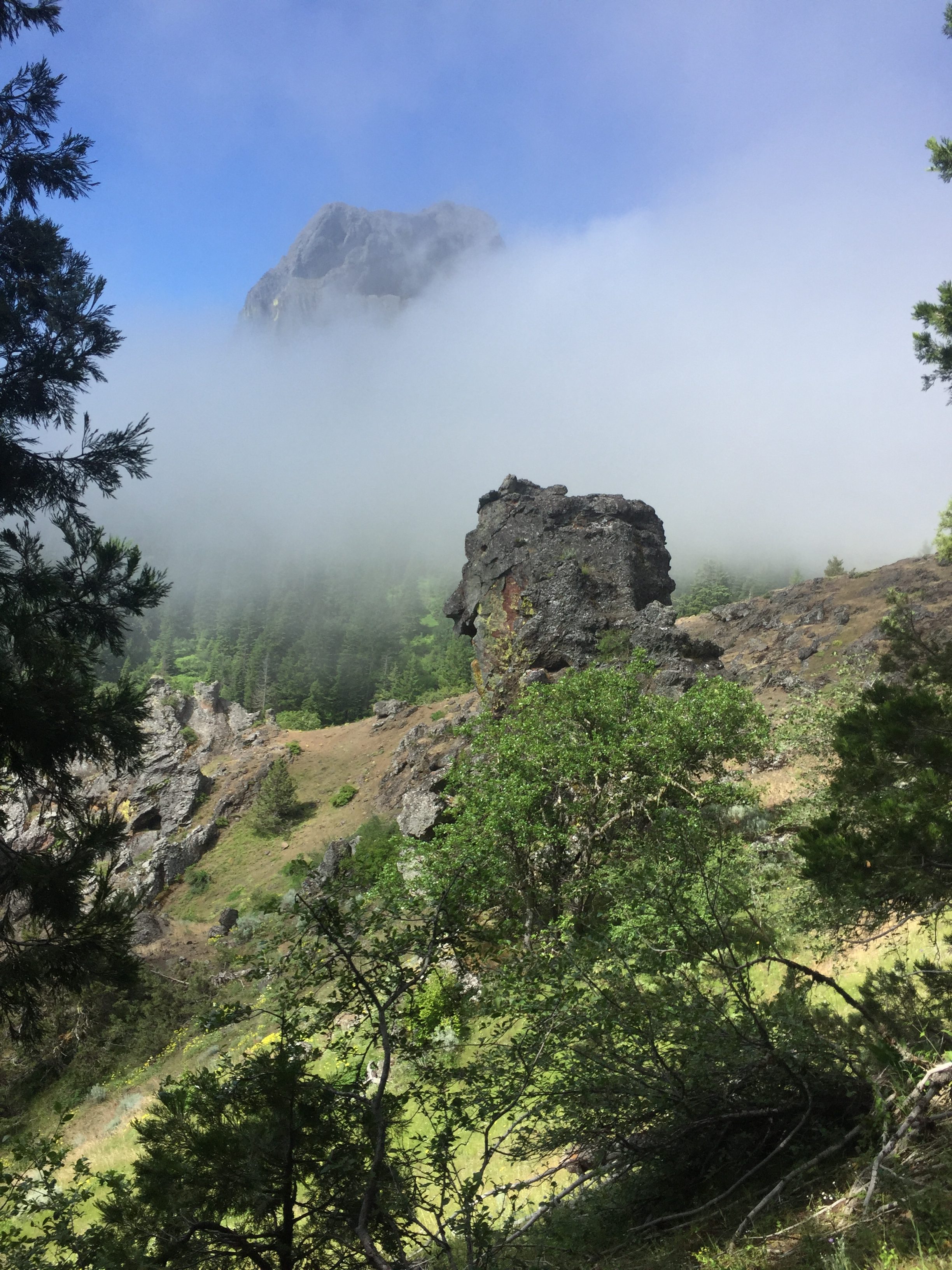
Fairly early in the hike I get to Pilot Rock and there is a warning sign there that this is a Peregrine Falcon breeding site and they should not be disturbed.  Pretty exciting but I do not see any falcons.  Perhaps they were hiding in the clouds.

PCT 7016-7033. Pilot Rock is a Peregrine breeding ground. Did not see one (:

There is a family that is camping here.  A man, woman, 2 young men and a little girl.  They are two tents near by and they seem set.  I notice the little girl picking some wild flowers and giving them to her Mom.   About an hour later while I am taking a break they pass me and I talk to the dad for awhile.  They are on a SLOW hiking trip to do the southern Oregon PCT.  He emphasized the SLOW.   Anyway I rest awhile longer listening to the birds and get a glimpse of the back end of fox running away.   When I start hiking again I pass the family and I don’t ever see them again.  Hope they are still having a good time.

Walking along I get a good look to the north and take this picture of Mount McLoughlin.

PCT 7016-7033. Far off view of Mount McLoughlin where I will be in 3 more hiking days

Very very often I am captured by the beauty of the country I am walking through but the picture below was taken while I was resting and lying flat on my back.  I look and up and just think WOW..  As I was lying there enjoying the view, a large group of “older” people walked by.  They were on a day hike they said.  There were probably about 20 of them.  Talked to them for a bit and one lady indicated to me that there was a little known pond just ahead where I could get some water.   As one of the last ones walked by I heard him say to the others:  “Hey why don’t we ever take breaks like that”.

PCT 7016-7033. As I am resting on my back this is my view

It was a beautiful day hiking and just before getting to Hwy 66 I have this view.

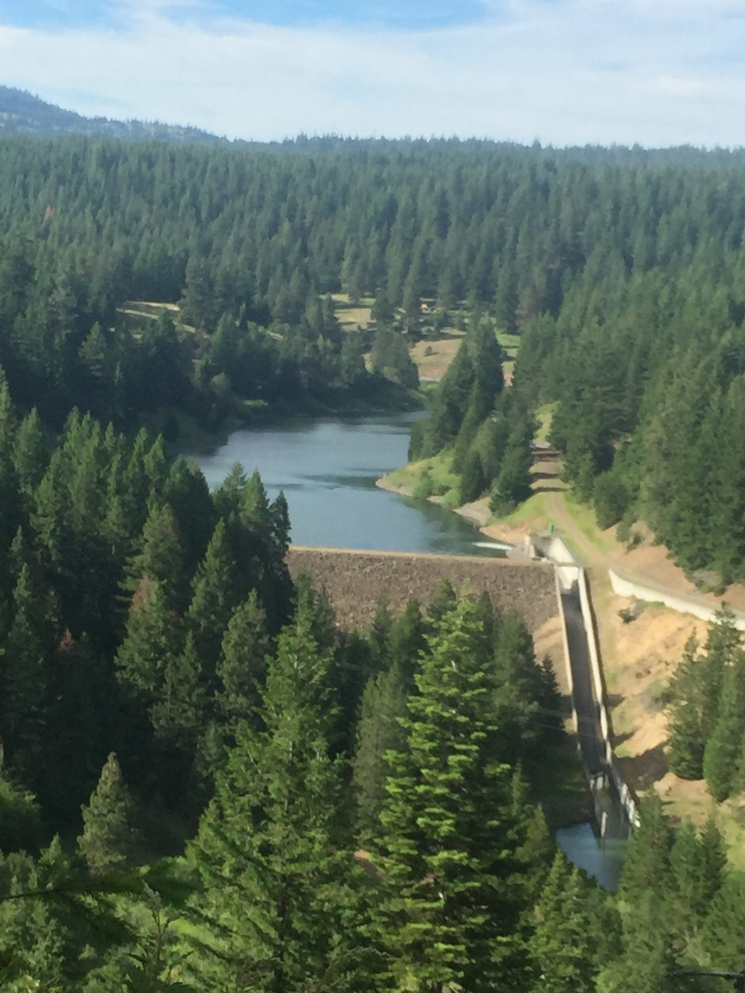
PCT 7016-7033. Keene Creek Reservoir

As I get down to Hwy 66 who do I see but “Optimistic” sitting in the shade.   I indicate I never expected to see him again and he said he got to this road and started thinking about his plans.  Since he can’t do all of Oregon due to the snow what does he really want to do?  I sense the PCT has already taken a toll on him.  He indicates he will probably want to hike to Hwy 140 (this is at the base of Mount McLoughlin) but that is 40 miles from Ashland.  I indicate that we, probably just Lenora, would be able to pick him up if that is what he wanted.  He then started wondering if he even wanted to go that far or just go in with me now.  Either one I indicated.  After awhile he decided to keep hiking towards Hwy 140.  We traded phone numbers and I told him to just call when he needed a ride.  Off he went and this time I was sure I would see him again.

It was a good day.  Heavier pack, more miles, and all good at the end of the day.

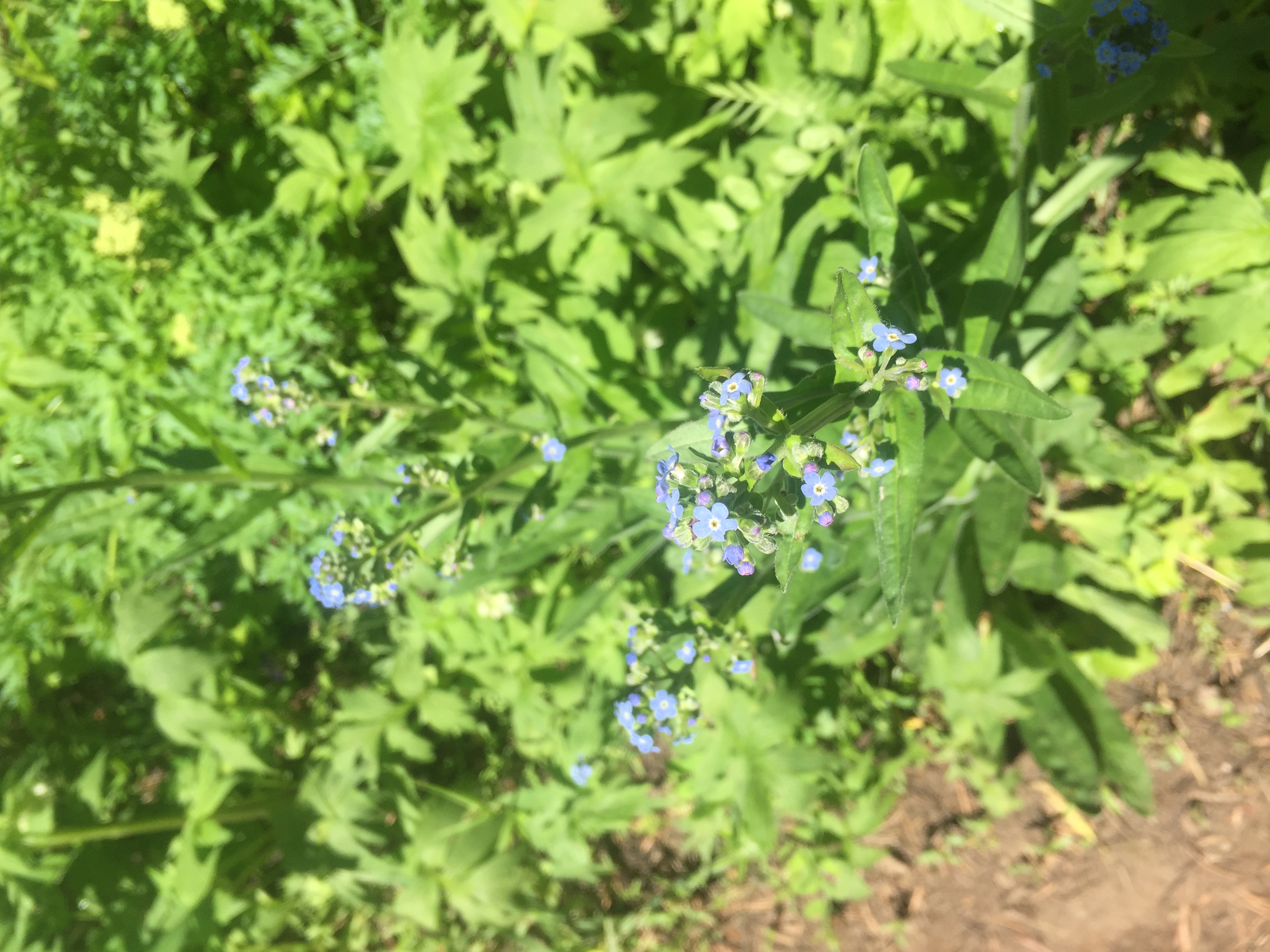
Here are some wild flowers from along the way.


True forget-me-not or water forget-me-not

June 20 – PCT 1711 to 1716

So I figured the issue yesterday was that I was just not ready to be carrying a 50 pound pack for a long distance.  So today was going to be a short hike with about a 25 pound pack.  We are staying in Ashland Oregon and the trail goes just south of Ashland.  Today I drive up to the trail near Callahans Lodge near interstate 5 and start hiking back towards Etna Summit.  I get a pretty late start and want to make an early end (LOL) so I divide the hours in half and walk away for half the time and walk back.  The distance out was 5 miles.  So after two days on the trail I have done 8 miles.  Wow… impressive..  Lenora says actually 16 miles to make me feel.  BUT the key thing is that after the 10 miles (5 in, 5 back) I am feeling fine.  There is no pain on the right side at all.  So it is not the act of hiking that caused the pain but it seems the weight in the pack.
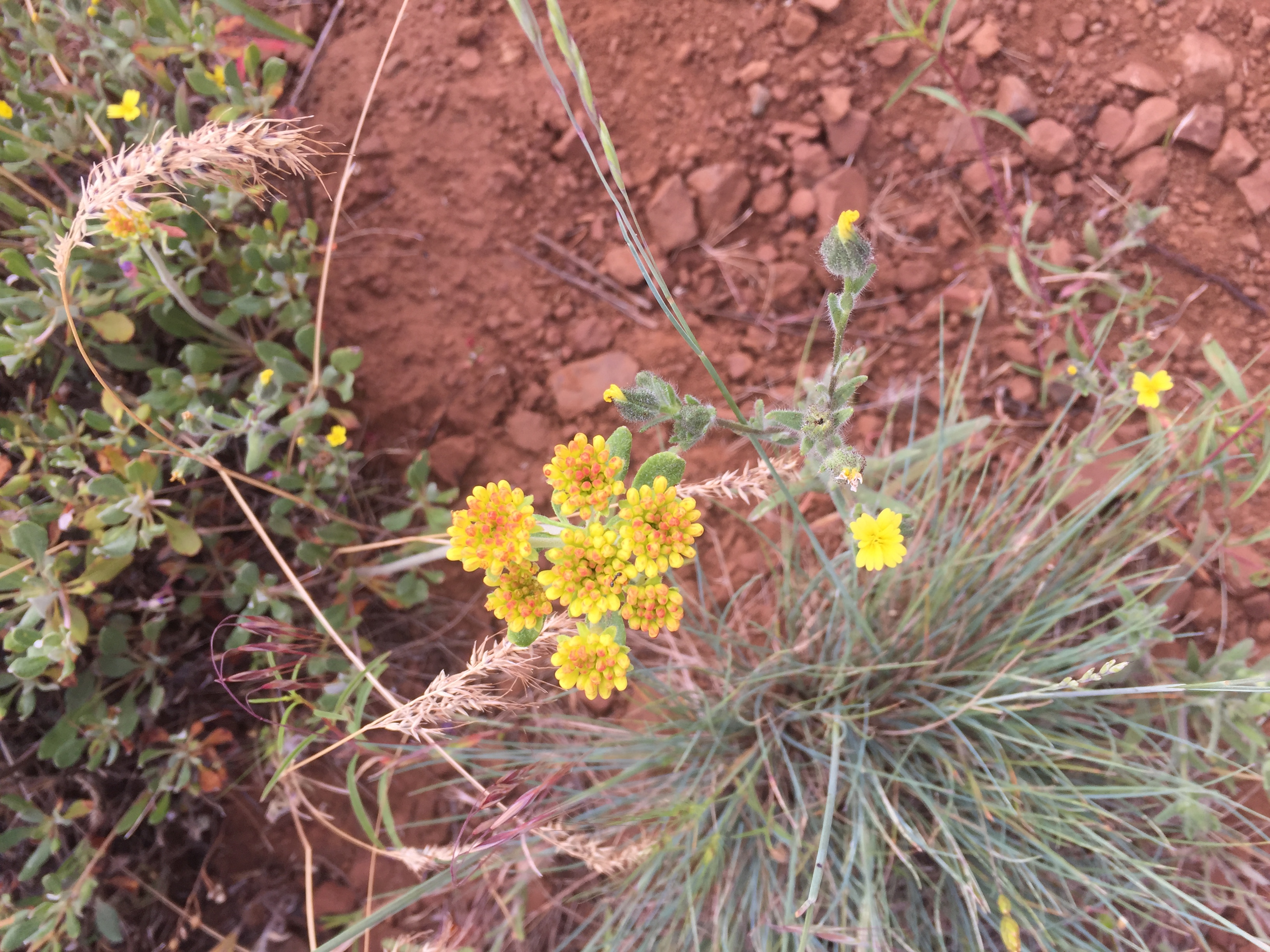
Here are some wild flowers along the route

Tolmie’s Pussy Ears
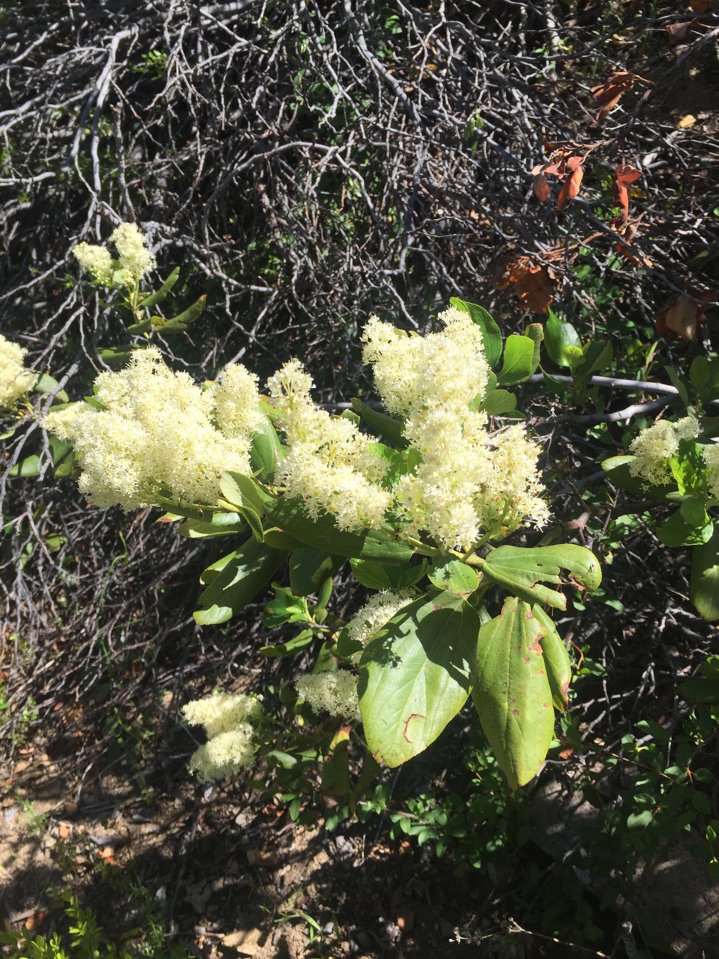
PCT 1711-1716 Deerbrush
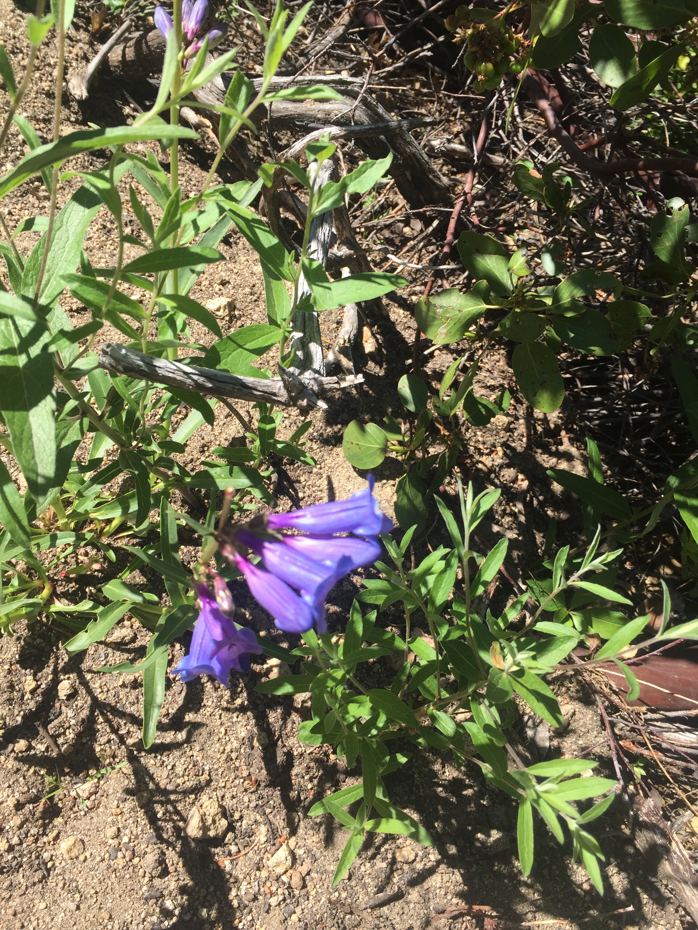
Beardtongue: Payette Beardtongue, Payette Penstemon
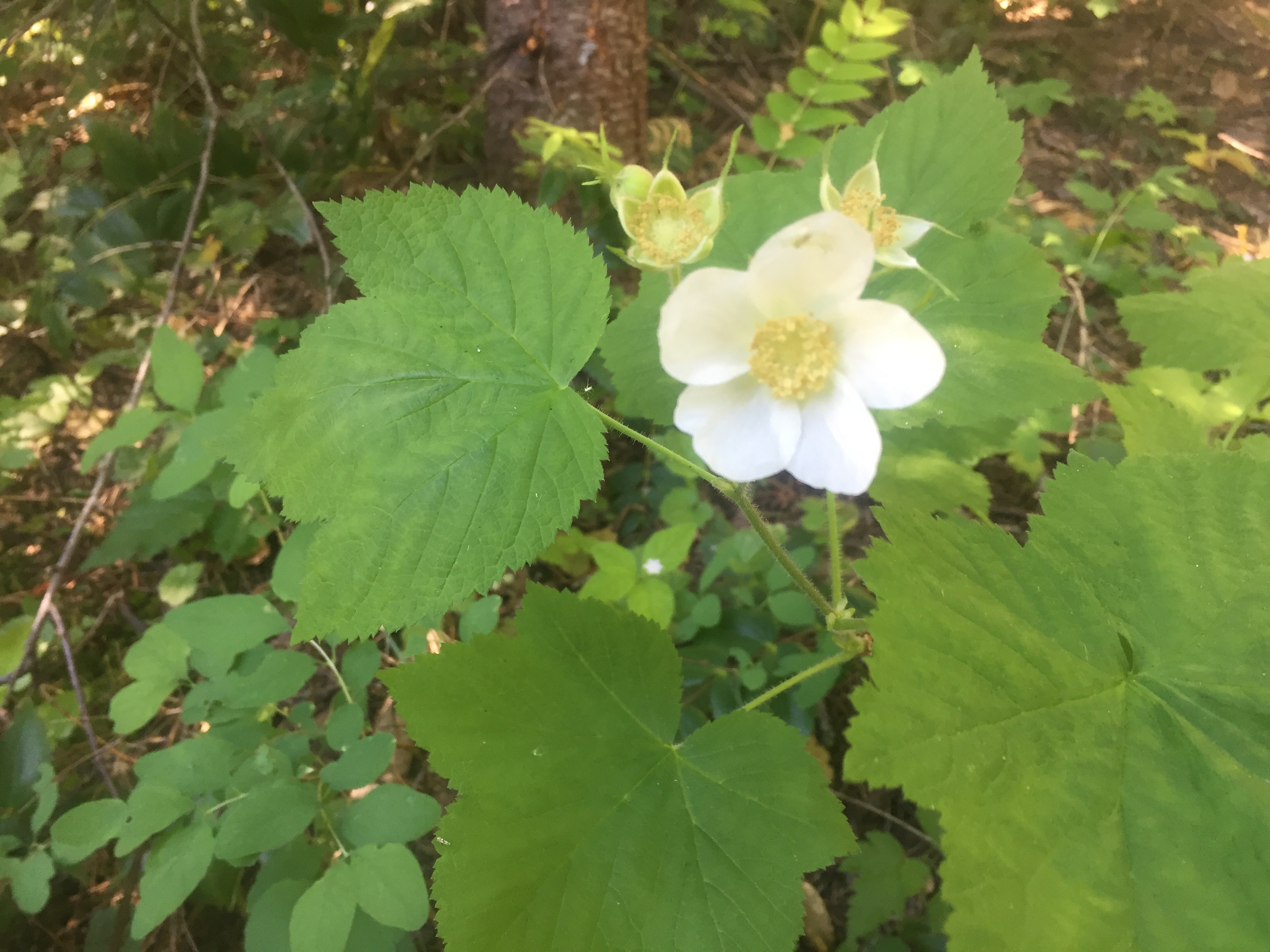
Thimbleberry (Rubus parviflorus)
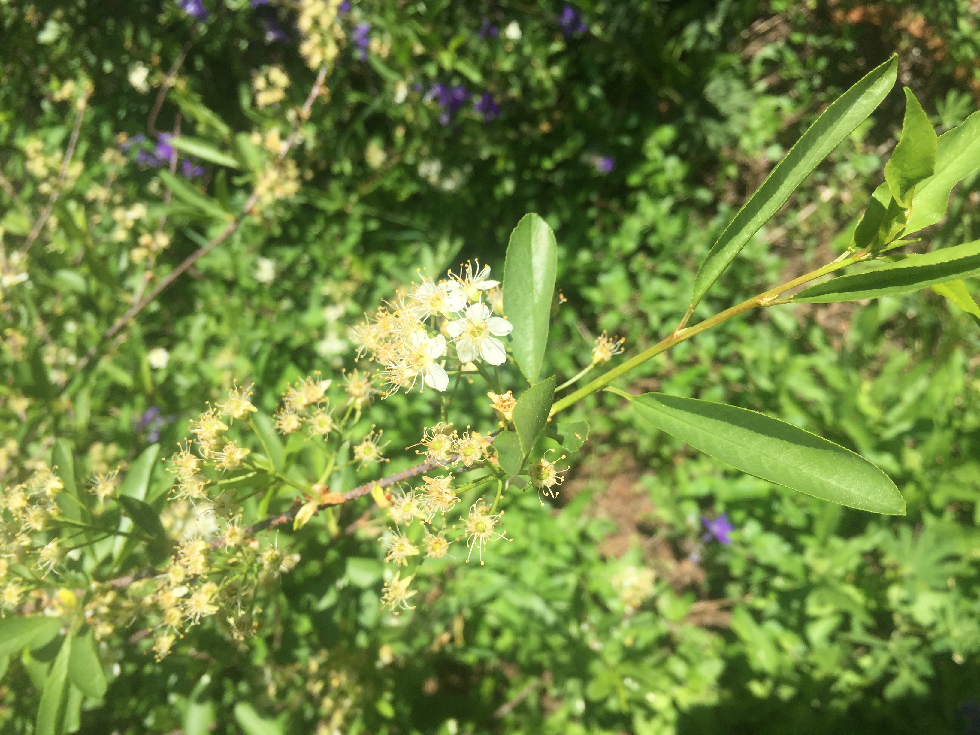
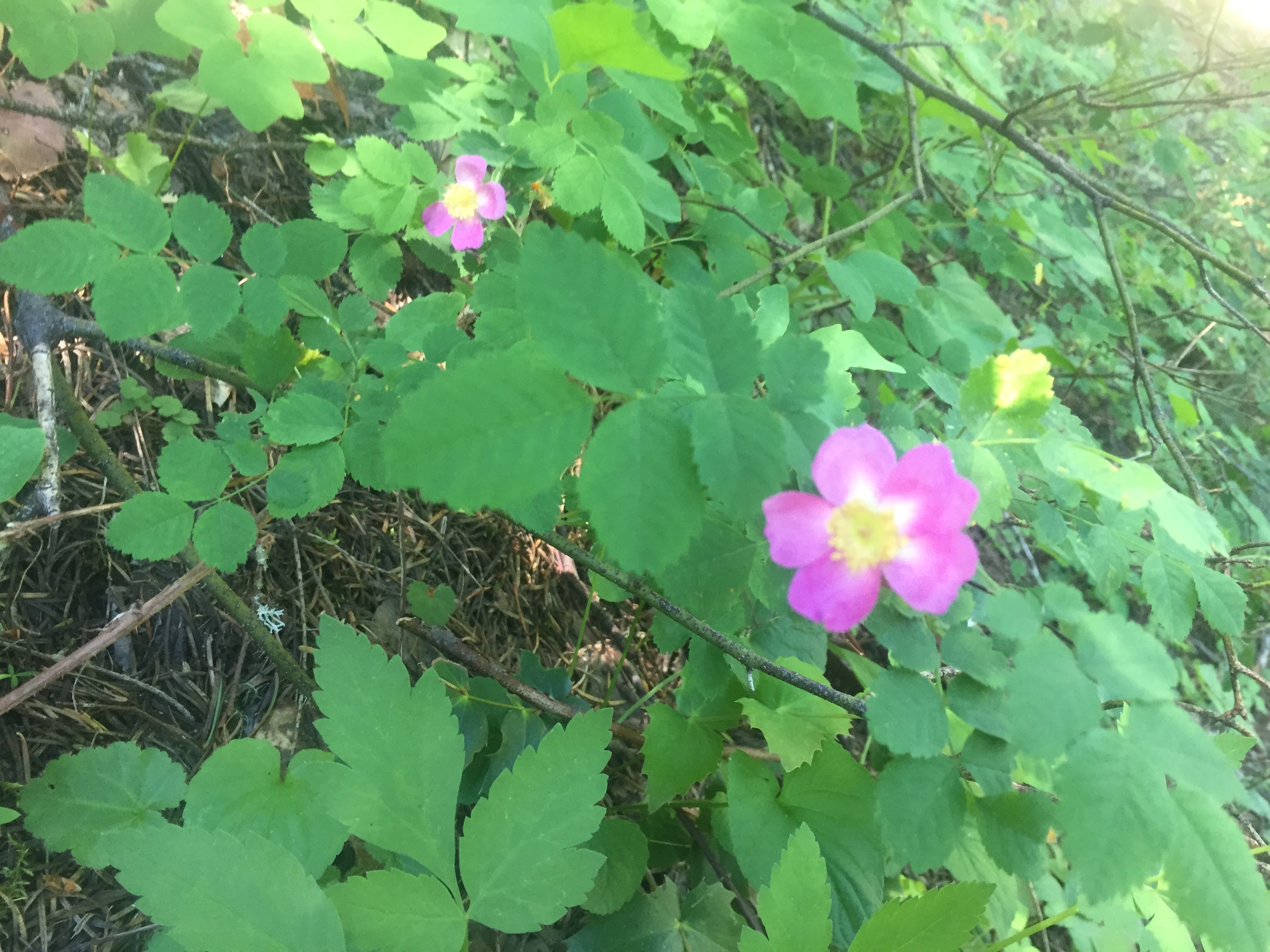
California Wildrose

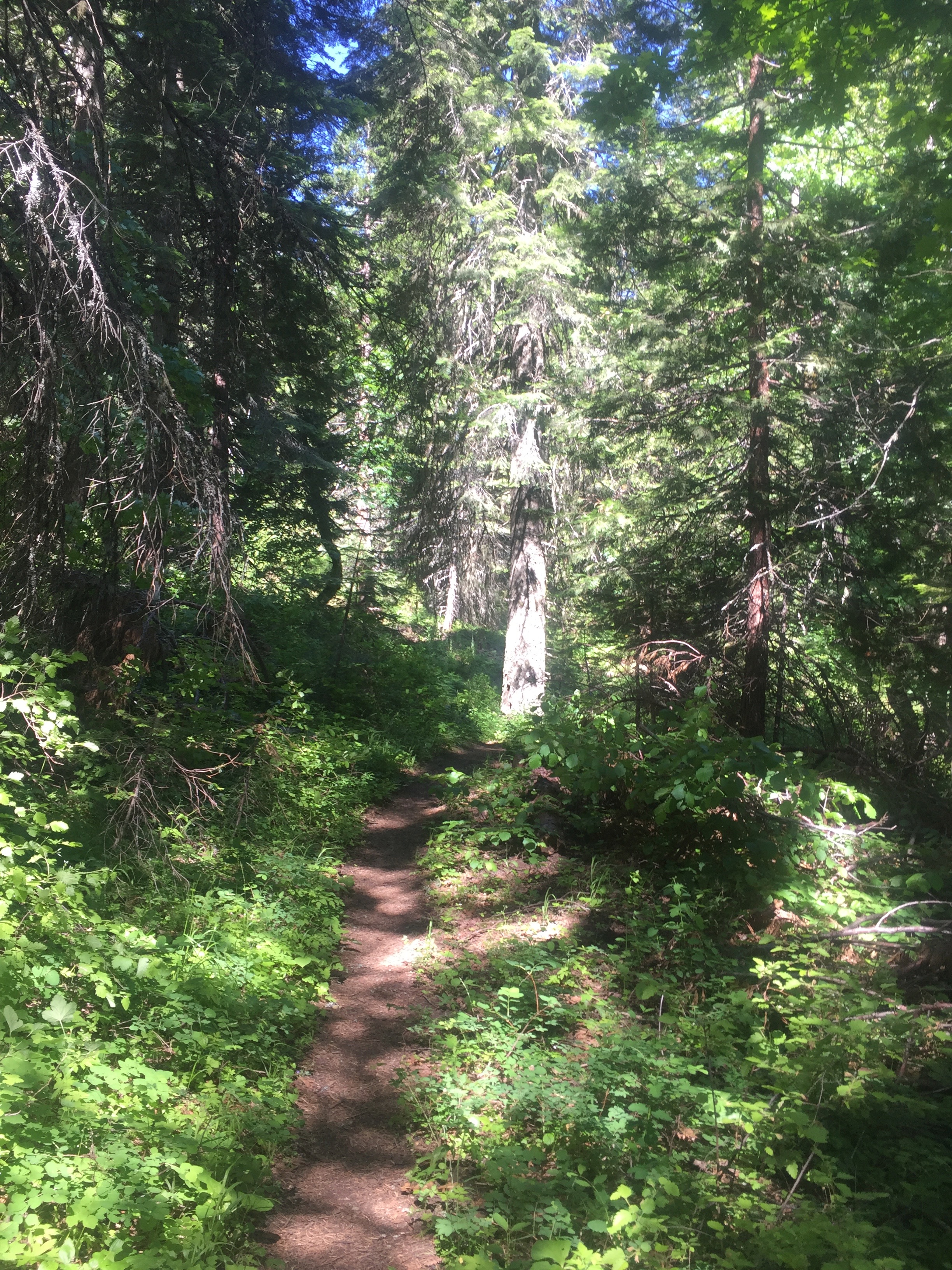
And some pictures of the views and the trail.  The trail is a nice soft forest trail.

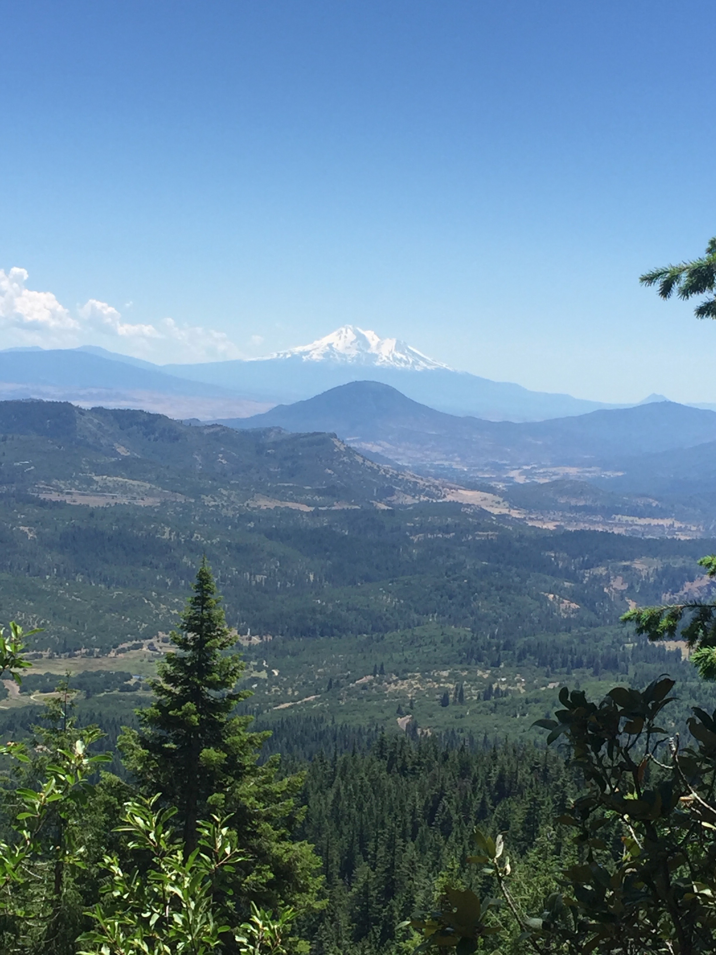
Mount Shasta


PCT 7011-7016
PCT 7011-7016 Love new growth on pine trees


So I will continue as it appears to be a simple matter of lack of preparation.  I will consider this on the job training.

Lenora’s Story:

So we are still on a hiking adventure.  Am I happy?  Yes.  Am I concerned?  Very much so.  My part is very minimal today as Don drives himself to the trail and does the 5 out and 5 back thing.  I stay in and do some laundry while stitching.  A good day all round as Don returns without the leg pain and feet feeling stronger.  I’m done with one side of my Love Shack house and decide to work on the “Chocolate” piece.

June 19 – PCT 1597 to 1600

Not a good beginning… 3 miles!!  Actually folks it was 3 miles along the trail and then 3 miles BACK.  So to my credit, I did 6 miles :).   In the previous day we came up to Etna Summit to look and see where I would be hiking and really could not see very much snow and I was feeling pretty confident about the hike.  When I arrived today and starting hiking it felt pretty good.  At about 2 miles there was a trail registry and there were only about 6 entries in it.   Most hikers for this year just have not made it this far yet and really those that have made it this far have skipped ahead because the High Sierra’s are still packed with snow and people are not getting through yet.  So some of them are skipping ahead and will go back to do the High Sierra section later.  Anyway, one entry in the registry was made by a couple and they indicated that were here and then the next day they were HERE again and going back because there was too much snow for their comfort zone about 8 miles ahead on the north face of  the Marble Mountains.   I figured I would check that out for myself but after only 1 more mile I decided it was just not going to happen.  The fact is I was not not in shape to be carrying a 50 pound pack.  My right side lower back, butt, and hip were all on fire.  I’m not sure where the pain was but knew after just 3 miles that I could not continue.   For the last 2 months I have had sciatica issues on my right side that I thought was better.   Maybe better BUT obviously very weak.

Anyway, below is picture looking out from the Summit after about 30 minutes of hiking.

Etna Summit

On the way back I ran into a PCT’er named “Don’t Panic” and I told him about the registry, the snow, and people turning back.  He asked if I could remember the names, which I did, and he mentioned he had walked with them for awhile last week and they were competent hikers but he was still going forward to check for himself.   Don’t know if he ended up continuing and it really does not matter because I did not turn back because of snow but because physically I just was not going to make it.

I was pretty depressed and wondered what I was going to do.  On the drive back to the motel Lenora reminded me (gently) how hard I had trained the first year.  Hiking on the weekends and during the weekdays working out on the treadmill with 60 pounds of buck shot in a backpack.  This year I had done NOTHING.  Plenty of excuses but basically I did not do what needed to be done to prepare.  So we decided we would continue but at a slow pace and work back into being the hiker I was at the end of 2015.

Lenora’s story:

We took our time reaching this spot.  We stopped yesterday on our way to the hotel in Medford to explore Ashland.  We enjoyed the weekend displays of art, pottery, crystals, wood work and clothing and ate a delightful lunch complete with tequila.  After lunch we hiked on the trails at the downtown park area long enough to tire me out.  On the way back to the car we stopped and bought me a ticket to attend the Shakespeare Festival on the 27th.  Going back to high school as I chose Julius Caesar as the play I will see.

We had a good last evening and then woke pretty early to get Don to the trail for a full week of hiking.  I will pick him up Saturday evening, or so I think.

Needing a few items I stop twice on my way back to the hotel and arrive to set up my stitching stand and get to work.  Not long before I hear the message signal on the phone and find this message.  “Not going to make it. Turning around”  Panic is immediate.  What happened?  Is he hurt? Is it snow?  Is he sick?  I reply; “I am on my way” and within minutes I am in the car and driving back up the mountain about 1 1/2 hours away.  Once in the car I realize I cannot get onto the Inreach site, have no wi-fi and quickly lose a phone signal so I just drive until I finally get back to where I left him just 4 hours ago.   In about an hour he arrives back at the car.  At least he looks ok.  Happy reunion.  Foot issues, sciatica bad but no injury and we head back down the mountain to Medford.  Did I mention this adventure can be nerve wracking at times?  I am wondering if this is really how we are supposed to spend this summer but this is not a good time to discuss that.

PCT – The journey continues AGAIN

I have been told that I left everyone high and dry last year.  For that I apologize.  We (Lenora and I) had some medical issues last year and had to go off trail but none of the issues were life threatening or anything like that.  After numerous doctor visits, we really still are not clear about what is causing the issue with Lenora’s arms BUT we are going back on the trail this year.  I plan on starting the trail again, where I left of at Etna, on June 19th.  We will see how far we get.  I hope I find that I am the hiker of the first year rather than the hiker of last year.  Yes, Lenora had some issues, but even before that I was not at all happy with my performance.  So we try again.  We hope that by the grace of God, that this year will be better.  We know already that the snowfall this winter was at the 200% level and there is still 50 feet of snow on places I will be hiking.  Wow….. 50 feet of snow!!  So, for the first 2 weeks I will be hiking in places where the snow is not that deep and we will hope that by the time I get to the deep snow… it ain’t deep anymore.  We will see.  So if you are still paying attention, the journey will continue and we will try to share with you the experience.  It is just such a fantastic experience and we hope we can communicate that with our posts.  I encourage you to ask questions, to make comments, to make prayer requests. I am always praising our Lord and Savior while on trail and I would love to include your requests while I am asking the Lord for so much help that I need.   I mean there are only so many times I can be selfish and just ask for myself.  Even for me, that gets boring :).  So help me to tell the Lord what you are thankful for and what you NEED.  Ask and you shall receive.

Lenora’s Story:

I have to admit I am ready for the adventure to continue.  It is like running away for an unexpected vacation.  Don’t get me wrong, I love my life, both lives in fact; the one in Georgia on the farm and the one here with our friends and church family.  In spite of my content with our lives I am ready for the adventure.  No meetings, no chores, no errands to run or things to arrange or organize, no meals to think about and most of all endless hours of stitching.  I bring about 20 projects even though I know I will be lucky to finish a canvas a week.

I do intend to explore the towns we visit and enjoy new shops, new out of the way restaurants and attending mass in a series of never before seen churches.  The church part is important because after last year I am nervous about how each of us is going to handle the experience.  While Don is on the trail for 5 or 6 days each week I often explore nearby towns and always look out for the little churches in those towns.  Some are open to visit and pray and some are locked.  Some have beautiful gardens and some just a little plot of grass and a few flowers.  All are beautiful in the way that only a well loved home can be beautiful despite its age or sometimes need of repair.  I feel at home in each of these places.  It is a gift to me to help with the anxiety of having my husband on his own difficult journey.

Aug 4 – PCT 1574 to 1597


As I was spending the night looking at the stars I thought about how Lenora was going to the orthopedic surgeon in two days.  Her shoulders have been getting worse and the Chiropractor thought there was something wrong and something that he could not fix and so had set her up to see an Orthopedic surgeon.  Both Lenora and I figured it was a little arthritis and that she would probably be getting a cortisone shot and all would be better.  The thought of her going alone was just suddenly not acceptable to me.  Driving 40 miles, getting shots in the her shoulder and driving back another 40 miles was just not right and that says nothing about the emotional stress.  So I decided I needed to be there and in order to be there I had to hike 23 miles tomorrow.  Since I was not sleeping, I got up about 4 and started hiking about 4:30.  It was still dark and so I was hiking by my headlamp.  During the time we were being trail angels one hiker had indicated he was not going to hike in the dark any longer because he had stepped directly on a rattle snake in the trail and it just was not safe.  Well I was thinking of that as I was walking but I was also had about 3 miles for generally downhill hiking to get to the Scott river where I was going to load up with water and have breakfast.  It is just not easy to do the downhill hiking in the dark because the depth perception is compromised and so I decided that I would also not hike at dark again unless I was going uphill.  It started to lighten up just before I got to the Scott river.  Picture below taken about 7 am.

Sunrise

    Sunrise

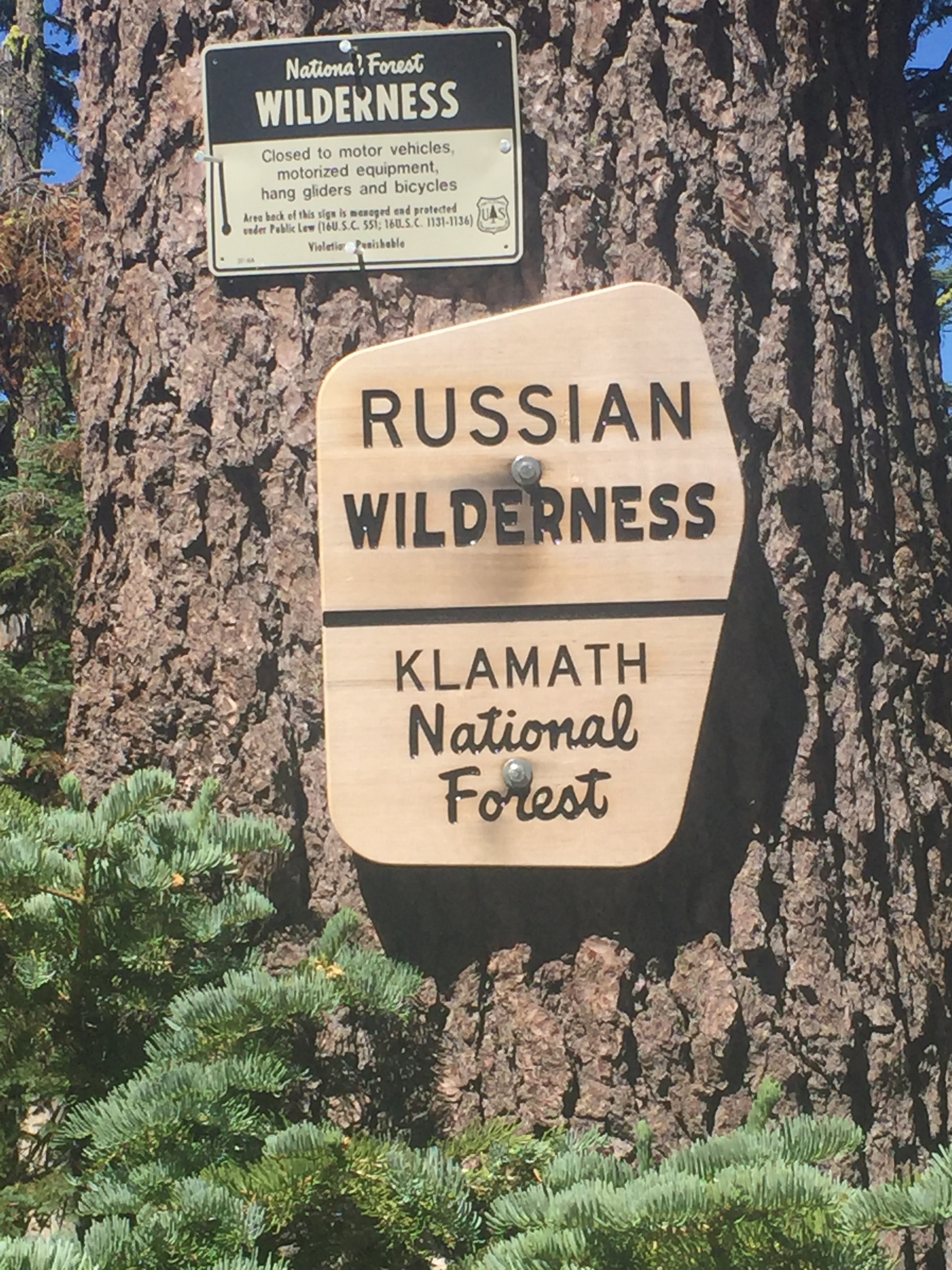
What goes down must go back up and you pretty much know that when you go down to a river you will be heading right back up next. I started the day at 7000 feet and went down to about 5700 feet and now have 3 miles of ascent to get back to 7000 feet and then a rise to about 7200 and then a rise to about 7400.  Just after leaving Scott river I also leave the Trinity Alps Wilderness.  About 6 miles later I reach the Russian Wilderness.

Yea, a new wilderness

Here is some info about the Russian Wilderness taken from wiki:


The Russian Wilderness is a wilderness area of 12,000 acres (49 km2) located approximately 65 miles (105 km) northeast of Eureka in northern California. It is within the Klamath National Forest in Siskiyou County and is managed by the US Forest Service. It was added to the National Wilderness Preservation System when the US Congress passed the California Wilderness Act of 1984.

The Russian Wilderness protects the Russian Mountains,[2] a portion of the high crest of the Salmon Mountains, which are composed of metamorphic and granitic rock. There are over twenty named lakes at different elevation levels as well as the major watersheds of the Scott River and North Fork Salmon River.

The Russian is one of three wilderness areas that form an almost continuous chain, from the Trinity Alps Wilderness to the south, and the Marble Mountain Wilderness in the north, these areas provide an important corridor for wildlife such as the migrating herds of black-tailed deer. The Russian Wilderness is part of the largest nearly roadless complex in northwestern California.

Elevations range from 2,500 feet (760 m) to the high point of the wilderness, Russian Peak, at 8,196 feet (2,498 m) [41°17′N 122°57′W].
There are several stands of conifers that are rare for California, including subalpine fir and Engelmann spruce in the wilderness. The region gained prominence amongst botanists in the 1970s when Dale Thornburgh and John Sawyer began conducting studies in Sugar Creek. In addition to discovering the first stands of subalpine fir in California, the diversity of other conifers they found here was reason for pause and then return studies. In all, after several years of research, they discovered 17 species of conifers in one square mile—of varied terrain—below the peak. Those conifers are: foxtail pine, whitebark pine, western white pine, Jeffrey pine, ponderosa pine, lodgepole pine, sugar pine, white fir, Shasta fir, subalpine fir, Engelmann spruce, Brewer spruce, mountain hemlock, Douglas-fir, incense-cedar, common juniper, and Pacific yew. An 18th conifer, the western juniper, was documented and reported by Richard Moore in 2013.  The wilderness protects habitats for American black bear, deer, Douglas squirrel, California quail and rattlesnakes. Less common animals include the fisher, marten, wolverine, pileated woodpecker, beaver, coyote and mountain lion. Rainbow trout, eastern brook trout and brown trout are found in the lakes and streams.  The wilderness is dominated by glacier-carved granite crags, dating from the Mesozoic, similar to the Sierra Nevada. This results in similar surface topography, including cirques and U-shaped glacial valleys. Similar to the Ritter Range, a chain of dark metavolcanic rock is dominant in the mountains along the edge of the wilderness.


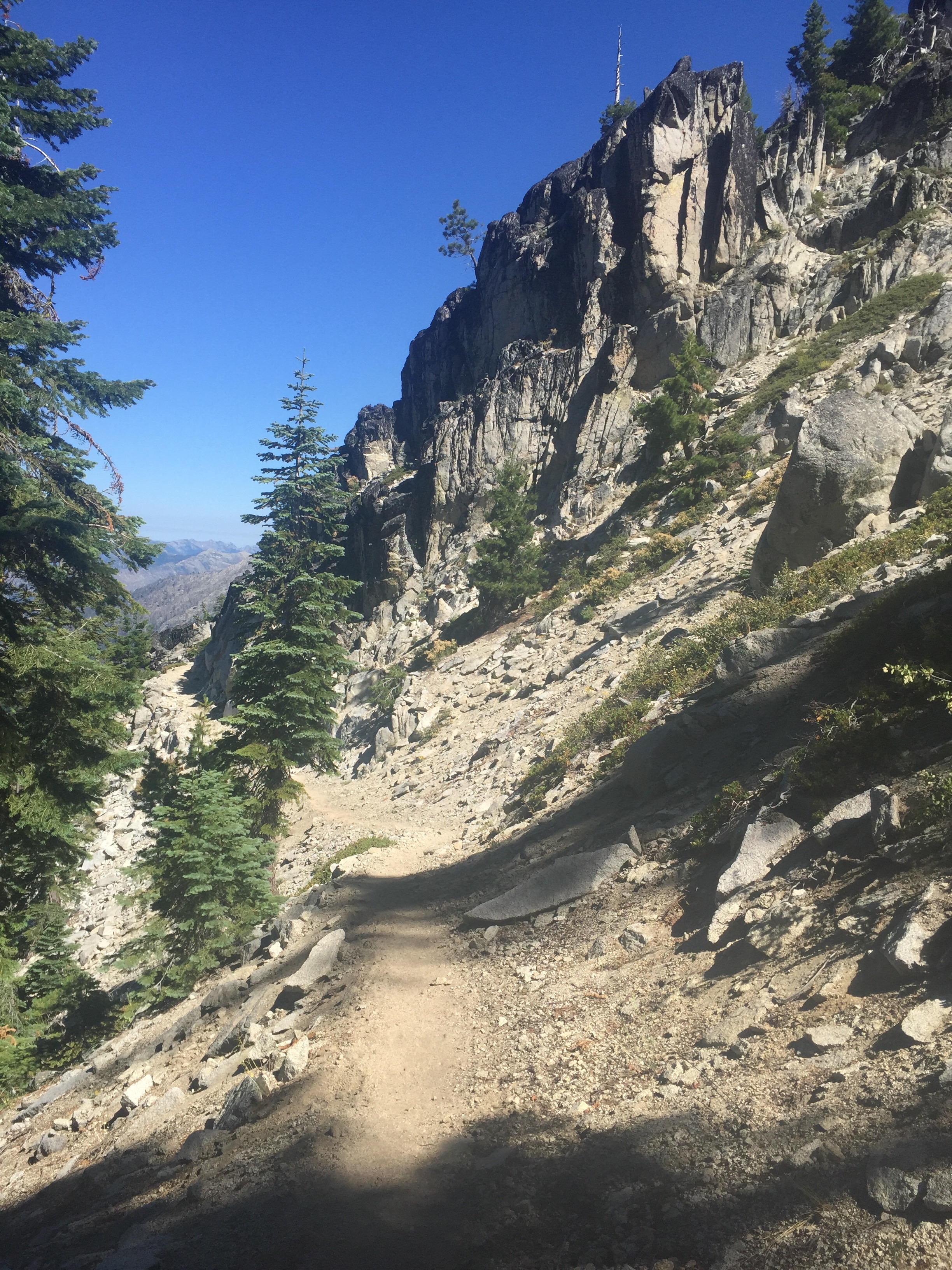
3 minutes after the sign for the wilderness I get my first real look at the Russian Wilderness as shown in the pictures below.  It is spectacular!!!  So now I get to descend into the wilderness to about 6400 feet just so I can ascend back to 6900 feet.  The descent is gentle, the ascent not so much.  It is on the ascent that I am passed by a number of hikers.  All of them are very much in a hurry to get to to Paynes Lake which is about 5 miles ahead.  I had heard about this lake while giving out magic from a number of hikers.  Apparently the lake is shallow and warm and perfect for swimming.  News has spread apparently because everyone wants to get there.  Paynes Lake is about 7 miles short of my destination and I won’t have the time to check it out.

First look at Russian Wilderness after emerging from trees. Bad day to skip my vertigo medicine
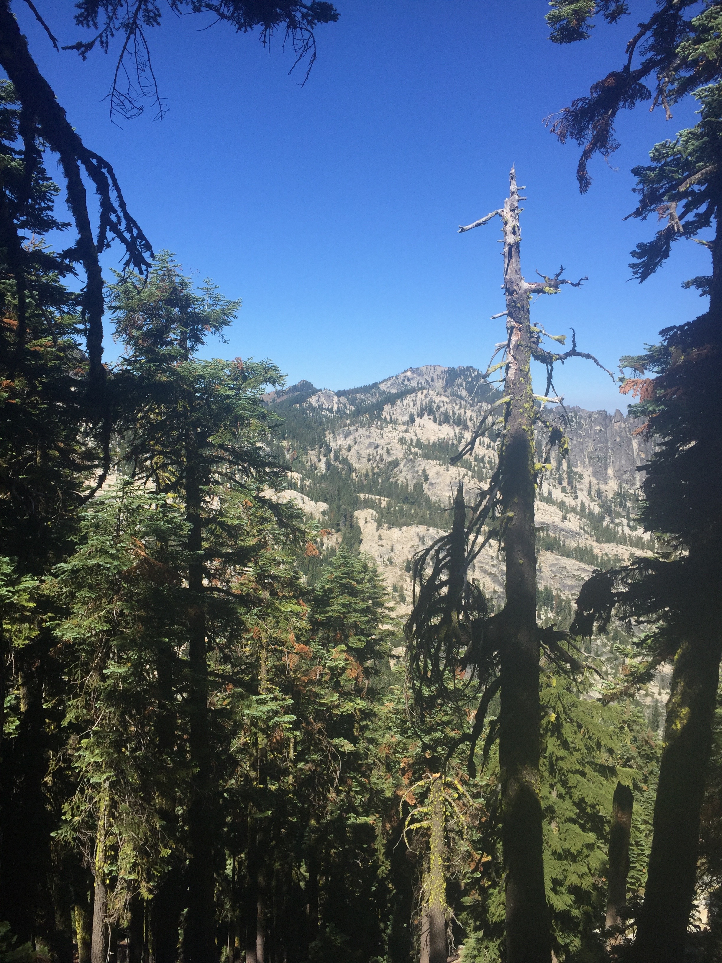
The other side of the valley in the Russian Wilderness
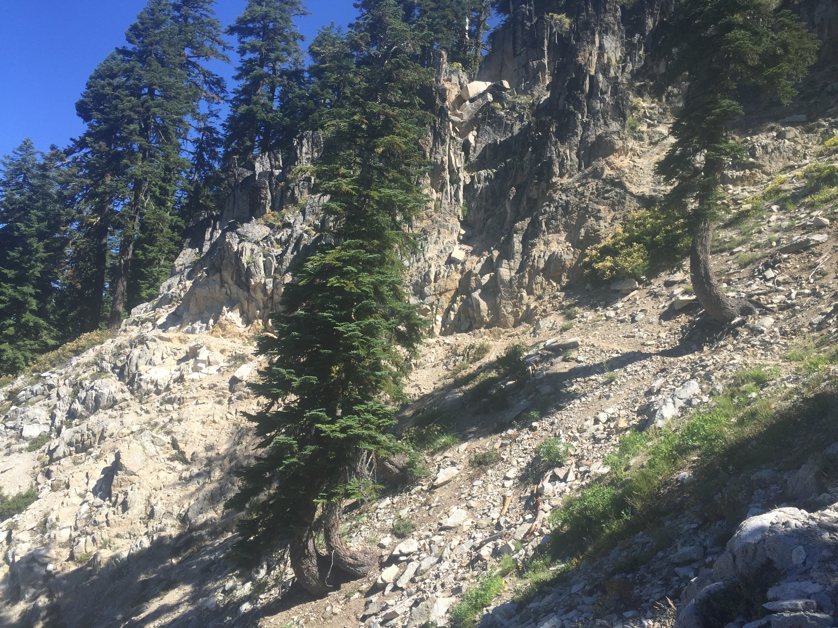
Steeper than it looks. Not a good idea to trip here.
This just made me mad. Could not climb over in any direction with my pack on. Had to remove pack, climb over, drag bag under the log. Ended up ripping a hole in my new pack
Trail goes down a lot, crosses a couple small streams and then heads back up. Just a view of the other side of the valley on the way back up

Once I get reach the apex of the ascent it is a pretty gentle 5 miles of ups and downs to reach Paynes Lake which is about at 6500 feet.  Now it is about 7 miles to get to the road where Lenora can pick me up and it is getting late in the day.  I have really not sure I can reach the road before dark and not sure I can reach the road at all.  23 miles will be my longest hike of the trail.  I keep telling myself that all these young punks are doing 30 and sometimes more miles a day.  How hard can it be to do 23?   Because I have not been sure I could make it, Lenora does not even know I am trying.  So I have about 3.5 miles to ascend to about 7400 feet and about 3.5 miles to descend to 5900 feet where the road is.  The picture below is taken just before the descend starts.   It is a picture of Ruffey Lake and the picture does not do it justice.  Just an amazing view!!
Beautiful lake 3 miles from my destination at the end of the day. Last 3 miles are down hill.
I put myself into the highest gear I have and start heading down toward the road and do make it and just before it gets dark.  There is a German couple that gets there about the same time from the town of Etna and all of us try to set up on the parking area by the side of the road.  I am going to do cowboy camping (just pad and sleeping bag) but they both TRY to set up their tents.  It is a challenge but with a lot of rocks they eventually get the tents anchored and crawl in.  Meanwhile I text Lenora and indicate I am at the Etna Summit and if she wants she can pick me up tonight or tomorrow morning before the Dr appointment.  I figure tomorrow morning but she texts back that she is on her way.  I move my position so I am right near the road and at about 10:30 pm she arrives and we head back to town.  I now learn why she came tonight which is because a tooth has started to go bad and it is evident a root canal is necessary and she has a dentist appointment the next morning at 7:30.  I am so glad that I made it to the road!!!
So the next day the dentist does think that a root canal is necessary but also notices that an implant Lenora got just before we left is loose and actually seems to be working its way out of the bone.  This is NOT good, not good at all.  So we get set up with an Endodontist for Friday and the x-rays are sent to the Dr. who did the implant back  in San Diego area.  I figure at this point we are definitely going back home because the implant needs to be taken care of by the guy who did it.  We head to the Orthopedic doctor and they take x-rays and it turns out it is not the arthritis that we imagined but that Lenora’s shoulders have actually fallen a bit and are not totally in their sockets!!  The Dr. tells us this happens when a tendon is damaged and the normal operation is a Rotator Cuff surgery BUT that generally shows itself as the shoulders rising out of the socket and not falling.  So he is not really sure what the issue is and needs an MRI to determine the cause.   The next day we hear from the implant Dr. and we definitely need to come back he says.  Enough is enough.  I do trail angle stuff on Thursday.  We go to the Endodontist on Friday who does indeed do a root canal.  We head back to San Diego on Saturday and now are back to get things taken care by our own doctors.  When everything is fixed, we will be back on the trail.

Aug 3 – PCT 1557 to 1574

So I start out a new week by skipping a few miles more out of convenience than anything else.  Hwy 3 PCT crossing is easy to get to and we have been there doing trail magic stuff.  As it turns out it was an excellent decision because of happenings later in the week.

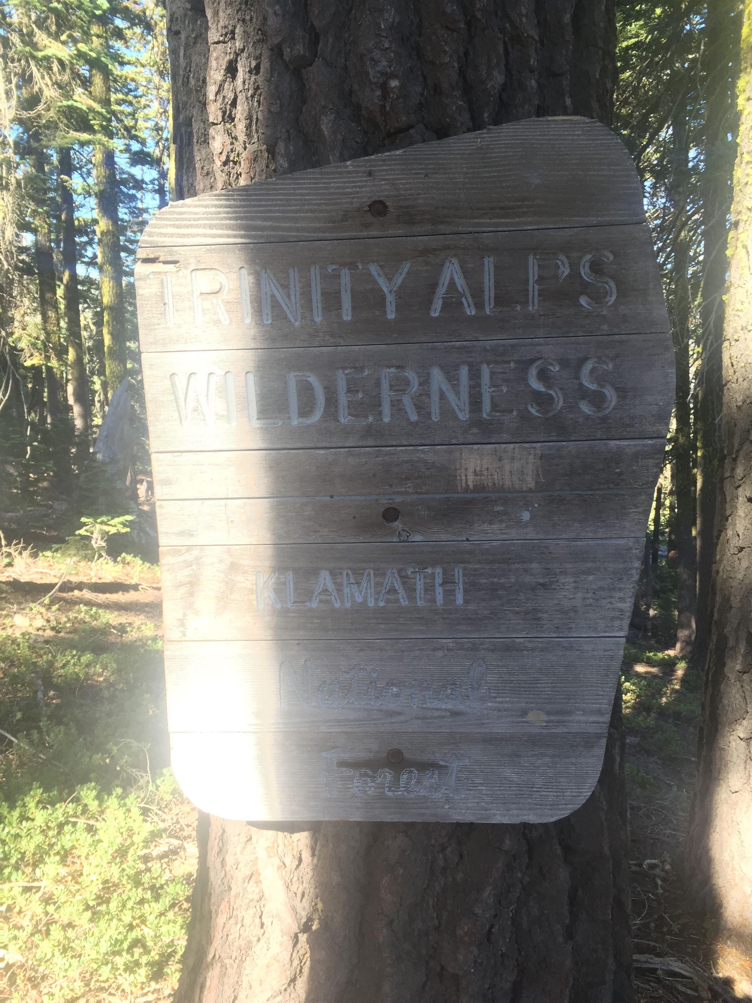
Right after being dropped off a Hwy 3 I enter the Trinity Alps Wilderness

Some info on the Trinity Alps from wiki


The Trinity Alps Wilderness is a 525,627-acre (2,130 km2) designated wilderness located in northern California, roughly between Eureka and Redding. It is jointly administered by Shasta-Trinity, Klamath, and Six Rivers National Forests. About 4,623 acres (18.71 km2) are administered by the Bureau of Land Management. The wilderness is located in the Salmon and Scott Mountains, subranges of the Klamath Mountains region. The high, granitic and ultramafic peaks of the eastern half of the wilderness area are known as the Trinity Alps. Granite peaks at the core of the area are known as the White Trinities, reddish ultramafic peaks in the southeast are known as the Red Trinities, and the forested mountains in the western half of the wilderness are known as the Green Trinities.
The botanical diversity of the Trinity Alps is quite unique. The region has intrigued botanists for many years because of the predominance of the Sierran flora only 60 miles (97 km) from the Pacific Ocean. Conifers common in the Sierra Nevada such as foxtail pines, lodgepole pines, western white pines, whitebark pines, ponderosa pines, red firs, and white firs are also common in the Alps alongside the endemic Brewer spruce.[3] Large wildfires swept through the western forests in recent years.

Wildlife species include black bear, black-tailed deer, mountain lion, coyote, and bobcat. Bears are common in the wilderness, so use a bear bag or bear canister.
Glacial cirques dominate the high country. The highest point is Thompson Peak at 9,001 ft (2,744 m).


The trail starts out with an ascent but it is rather calm and the weather is good for hiking.  Still hot but not TOO hot and the views are just spectacular.  The fire up at Crater Lake in Oregon is still going and will hear later that the fire jumped the ridge and both trails in that area have been closed.  As it currently stands you have to take a 40 mile ride around the fire OR walk on a roadway for 40 miles without water.  But I won’t get to Crater Lake soon and things can change.

Beautiful view to get going
Still a bit smokey in the valleys. Fire still going up in Oregon (not that far away as the crow flies)

This area reminds me of the High Sierra for beauty.  Just amazing views.  It is being a very quiet day.  I have seen nobody on the trail all day and will not see anyone.

Gave it a moments thought but too far down. Reminds me of High Sierra's
Gave it a moments thought but too far down. Reminds me of High Sierra’s

My cough is still pretty bad and each time I cough I get a sense (taste or smell not sure which actually) that there is infection.  But without the heat I can manage and feel good.

Must be feeling better. Wildflowers catching my attention again

The habitat changes a bit as I go up in elevation and turns rather rocky.  This shot does not do it justice and the rocks seemed much more reddish that is shown.

Little habitat change. Getting more rocky but the rocks are beautiful

SIgh… Mt. Shasta.

Sigh.... Mt. Shasta but if I ignore that it is a nice view :)
Sigh…. Mt. Shasta but if I ignore that it is a nice view 🙂
Just pretty
Just pretty

Reach a point on the ridge where there is a nice view on both sides.  Don’t those lakes look like they would be worth jumping into?

On a ridge looking down. Again they look inviting but the trail goes on the other side of the ridge

Got to get water every now and again and at a small stream these little beauties were growing.

Clumps like this growing by a stream where I stopped for water

Get to another ridge point with a great view on either side.  Nice valley on one side and mountains on the other that look to have a fair amount of snow on them.

On another ridge looking right (east)
Same ridge looking left (west). The trail heads west

I stop fairly early after 17 miles.  My camping spot is really small and a little off the trail.  Later that night I hear some other hikers on the trail and they camp pretty close to me but nearer the trail.  I do not have a great night sleeping and I am coughing most the night.  I hope the others are far enough away to not be bothered.  I get a good rest and spend most of the night looking at a beautiful sky that is aflame with stars.   It is a night without a moon and so the stars are brilliant.

The phone says 37000 steps and 35 flights

July 26 – PCT 1509 to 1523

It was a good night and I get up early to get the ascent done before it heats up.  The picture below is taken at 7:33 and the sun is just showing its face.  I am about half way up the ascent.

About half way up the 4 mile ascent to get us up to the level of Castle Crags

An hour later and I am probably still at least 1 mile from the top.  Really going quite slow.  By this time I have been passed by a number of hikers and also by Fire Ants who states she just had a hard time getting up early this morning.

About an hour later
About an hour later

Reached the top of the steep ascent and now there is suppose to be about a 6 mile gentler ascent followed by what looks like about 11 miles of relatively flat hiking.  Nothing feels like that to me today.  It all feels like it is very steep and I am stopping rather frequently.  At the end of the 4 miles is a spring called Gully Spring where everyone stops for a long pause.  I know because by the time I got there, everyone that had passed me is still there resting.  It is now really hot and a number of hikers are complaining about how they thought they were out of the desert.   This section is also rather dry which makes it a bit more frustrating.  It shouldn’t be however.  It is just the PCT.  This is what it is.

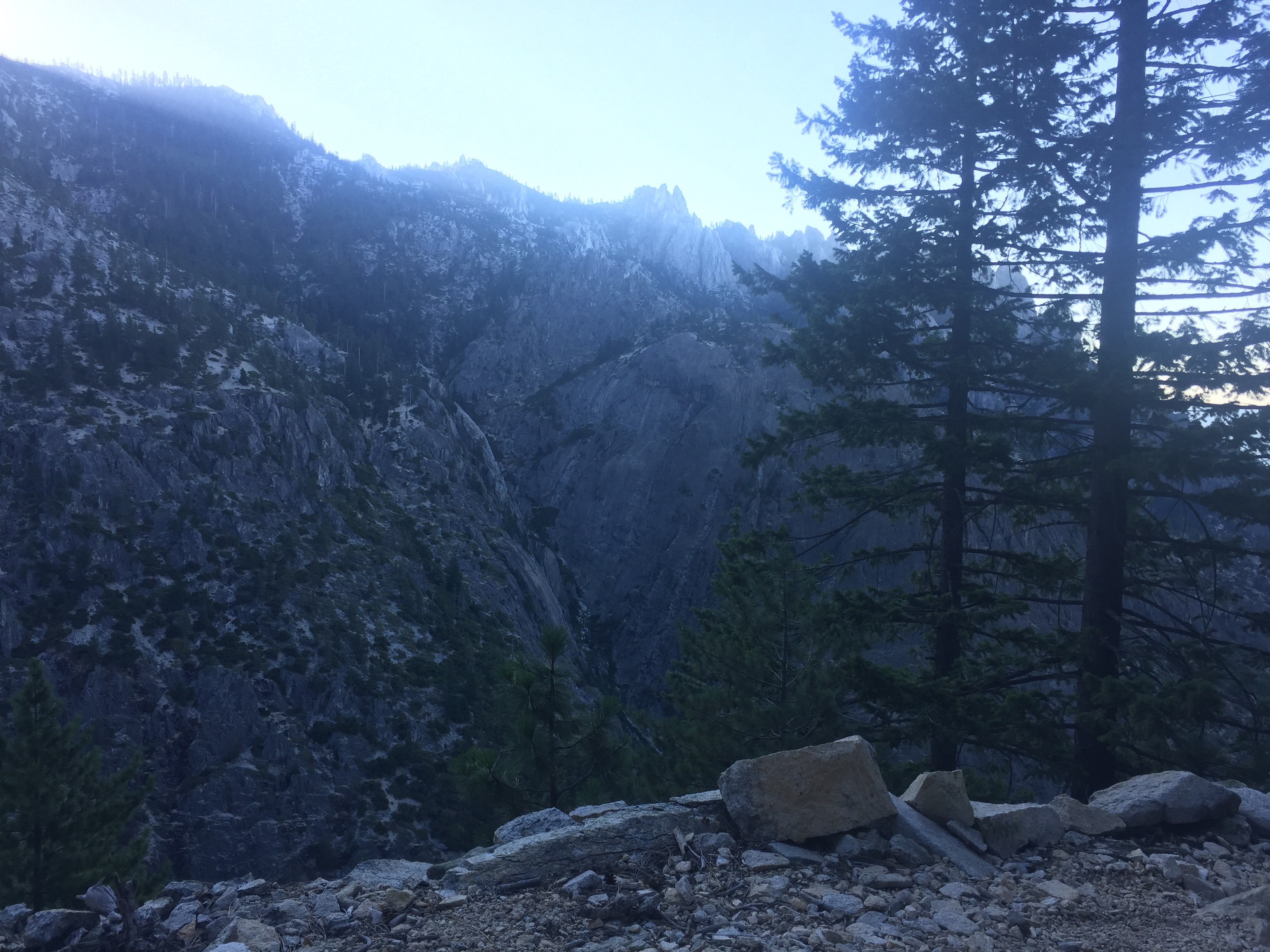
4 hours later we are now walking around the Crags

This picture does make it look like I am on rather level land while taking a picture of the ever present Mt. Shasta.  I would like to eventually move north of that mountain.  I am just getting further west of that mountain and it even looks like I am further SOUTH of that mountain.

Of course. Mt. Shasta and Castle Crags. Just can't get away from Mt. Shasta
Of course. Mt. Shasta and Castle Crags. Just can’t get away from Mt. Shasta
Towards end of the day. The valley is getting a bit smokey. Some say fire up at Crater Lake in Oregon
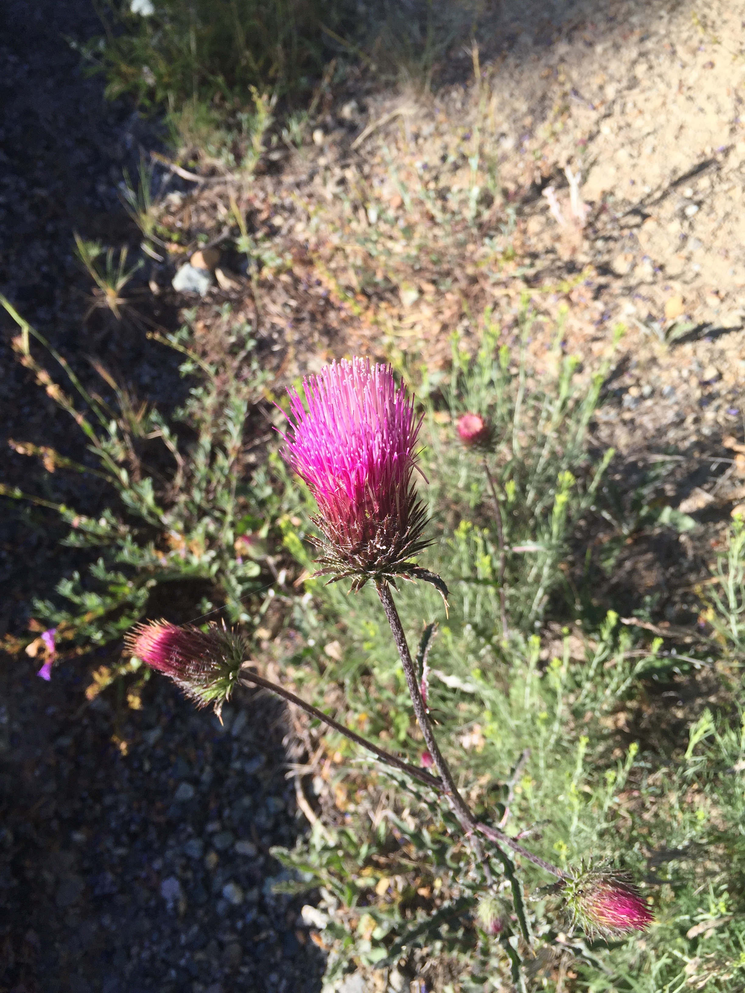
Some Thistle. First I have seen this year

So it is bit smokey,  it is brutally hot, and my congestion has not improved but seems to be worse.  I am coughing and resting about every half mile and feel like I am going constantly up hill.  If my phone is at all accurate, it turns out I am not going uphill all the time at all.  I do about half as many flights as I did yesterday.  This is just not going to work and I need to get rid of this congestion.  I am by a paved road and text Lenora and come and gather me up again the next morning.  Looks like it is going to cool off at the end of the week and I’m hoping my congestion will get better.

I camp alone for the night.  Big campground but nobody saw it as a stopping place apparently.  Another beautiful night

Phone says 43000 steps and 22 flights.


So I am going to be off trail for the next days but don’t want to be out of touch so Lenora and I become trail angels.  I buy 5 styrofoam coolers and we load them up with fruit and drinks and beer and chocolate and with ice cream for making root beer floats.  Spend most of the day at various sites and getting so much thanks from the hikers is rather addictive.   Constantly giving rides to hikers down to town (Etna) and hikers in Etna back up to the trail.   They will stop for an hour or more and relax and eat fruit and cold drinks.  Most of them are doing more than 25 miles a day.  One guy did 34 miles because it was his 34th birthday.  They seem to having a great time and are doing the miles for various reasons.  Some want to beat the snow in Washington and fear an early winter.  Some actually have to get back to work.  A large number this year have to finish before their Visa’s expire.  Turns out there was a documentary on the PCT in Germany on the most popular German station and that is why there are some many Germans on the trail this year (so I was told by a German couple while giving them a ride to Medford Oregon to get new shoes).   During one day an older couple drove up and stopped to see what was going on.  I talked with him for a long time about the trail.  He said he was a lifelong hiker and thought about doing the PCT but he said all he ever saw was PCT Hikers with their heads down walking as fast as they could to get in miles.  He was not interested in doing that.  I laughed and told him I did not do that and he did not have to do that either.  He could hike the trail how he wanted to hike the trail.  It was like he had never thought of that.  One guy gave Lenora and I necklaces he had made out of rocks.  One was a rock picked up at the start of the trail in Campo and had been carried for 1500 miles.  One was a rock he picked up in the High Sierra and had carried for about 800 miles.  He was so appreciative of the magic he have them to us.  Quite an honor.  Told him we would carry them the rest of the way to Canada.