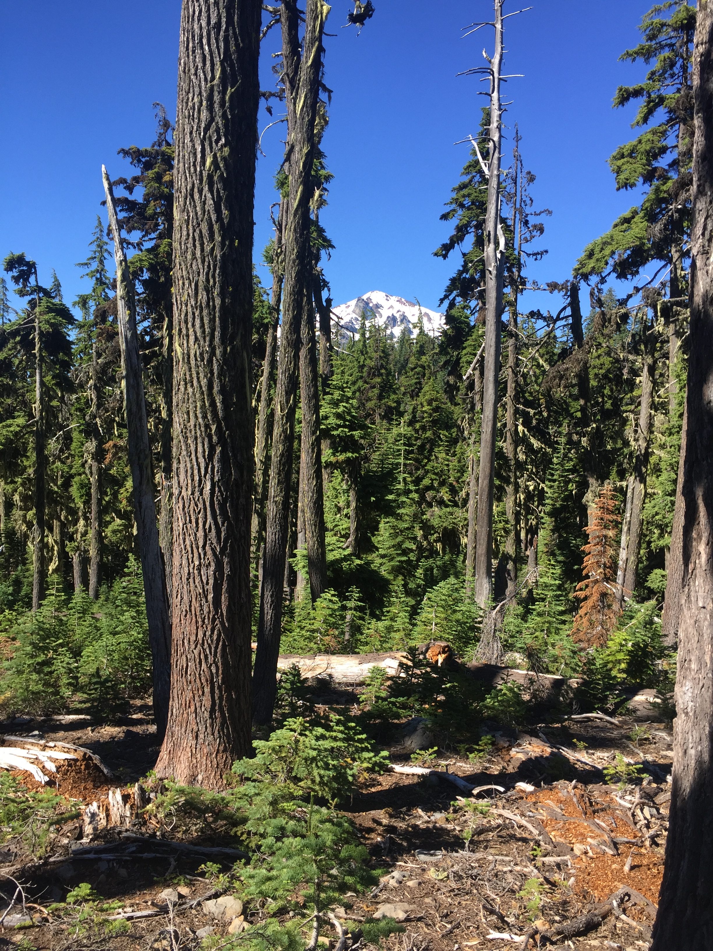
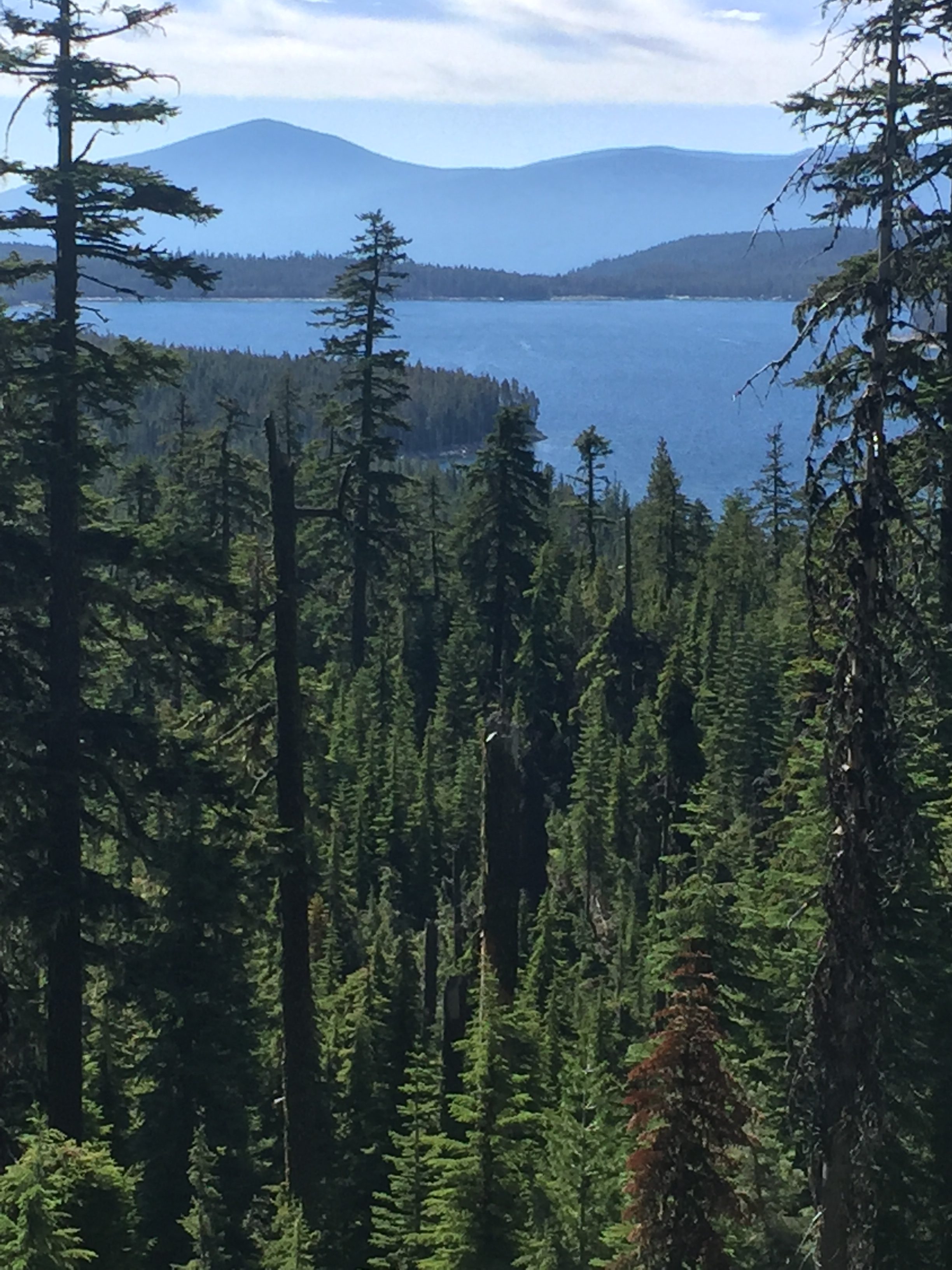
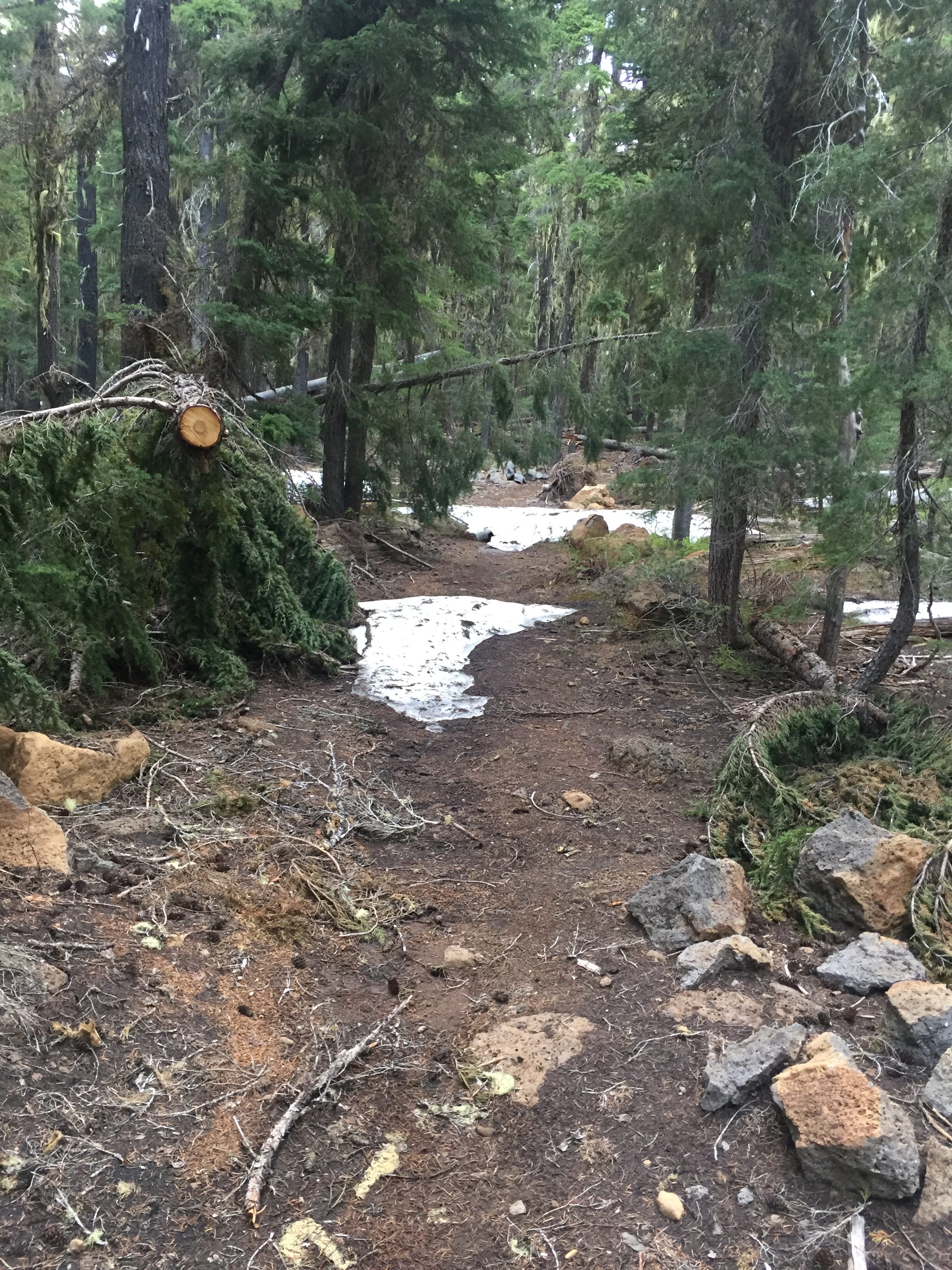
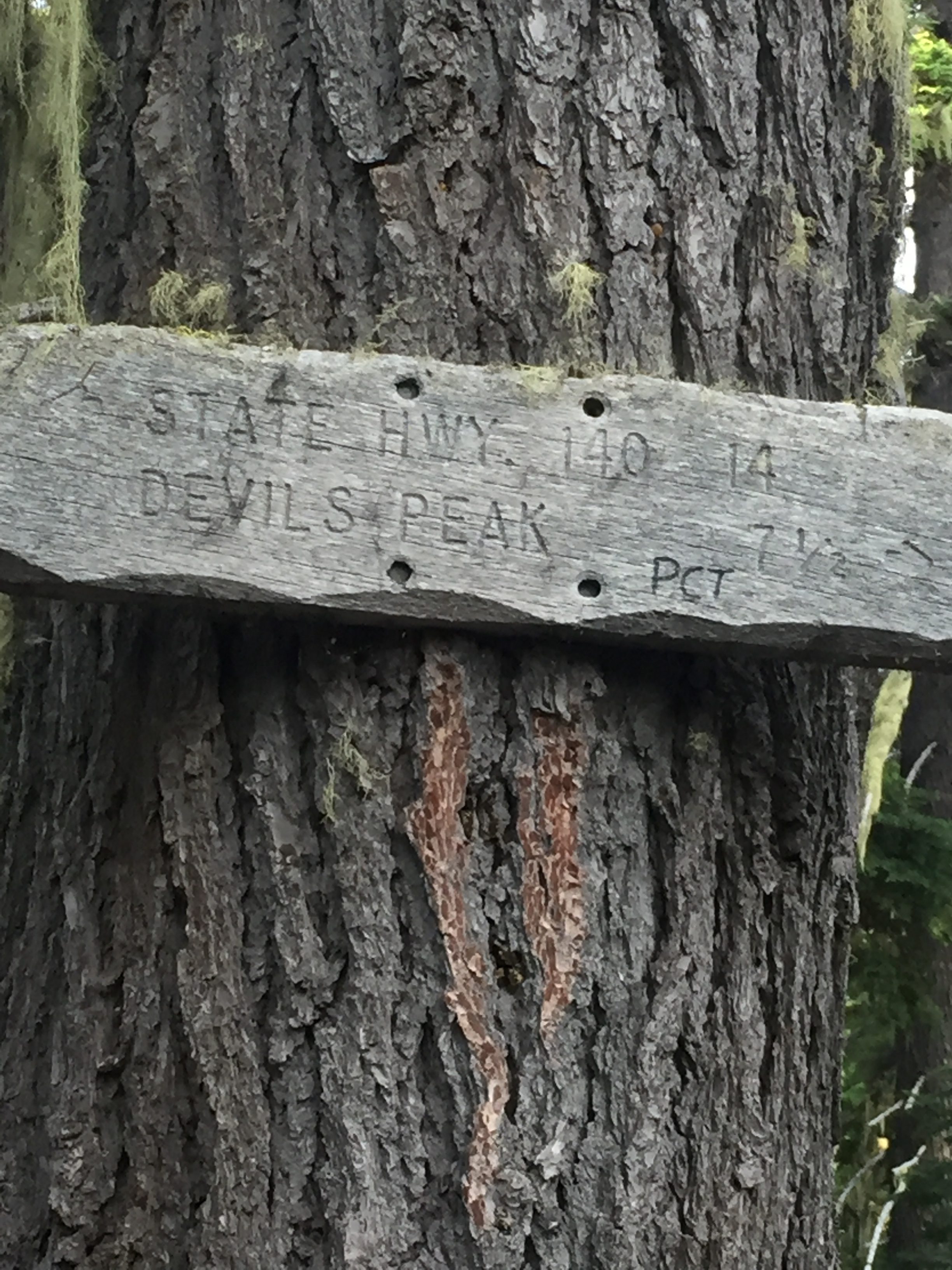
Category Archives: Hiking

July 19 – PCT 1883 to 1888

So at the end of the day yesterday I was looking for a way out.  About  5 miles ahead there seems to be a place.  The trail goes right along Summit Lake and at Summit Lake there is a dirt road and “Large campground with Ranger Station”.  That seems very promising.  So I indicate to Lenora that I can make it but if possible it would be nice if she could pick me up Summit Lake.  She looks at some maps and it looks pretty easy which makes sense.  After all, it is a “Large campground with Ranger Station”.  So I go to sleep knowing I will be off the trail (Until the next Monday) tomorrow and I can figure out what I am going to do about food going forward.

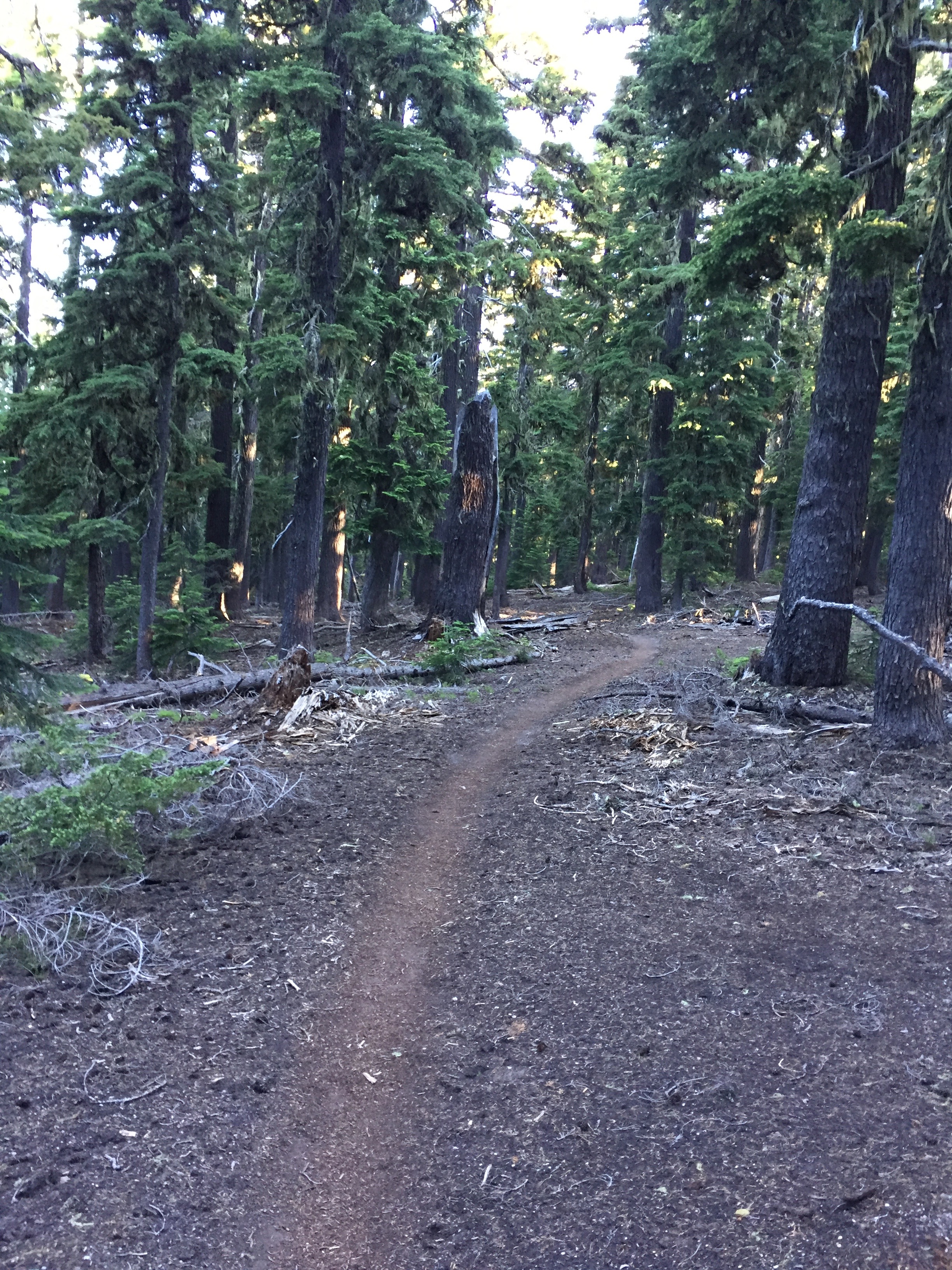
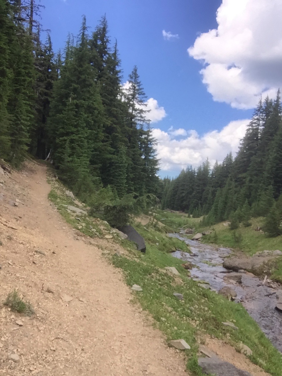
Get up about the normal time and get on the trail a little later because I only have 5 miles to go but I arranged with Lenora to pick me up at noon.  The 5 miles I have left are either level or down hill so all is good.  Below is the trail.  Back to nice soft forest trail.
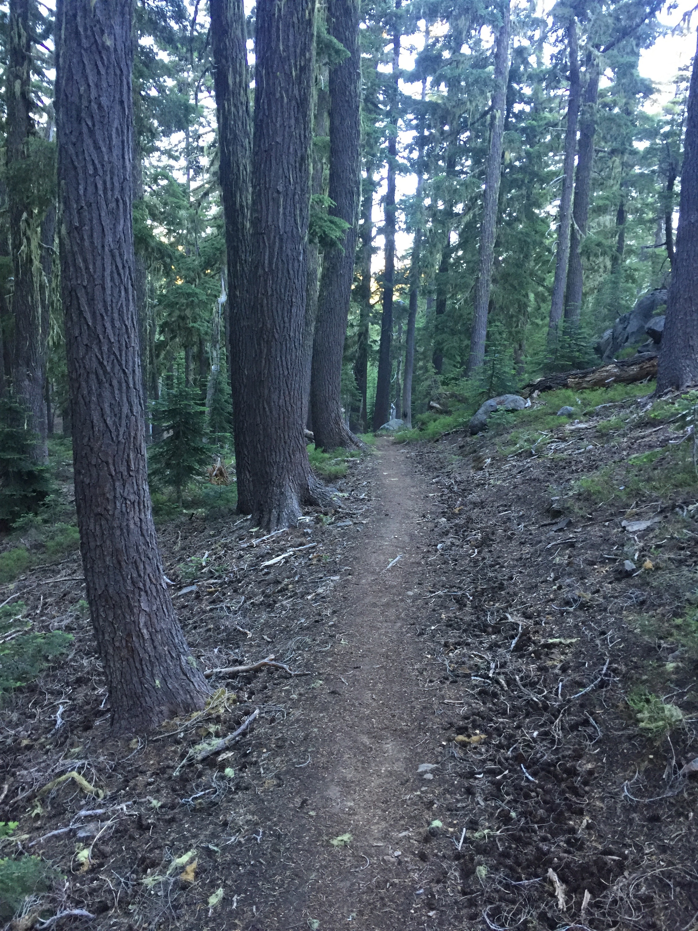
 

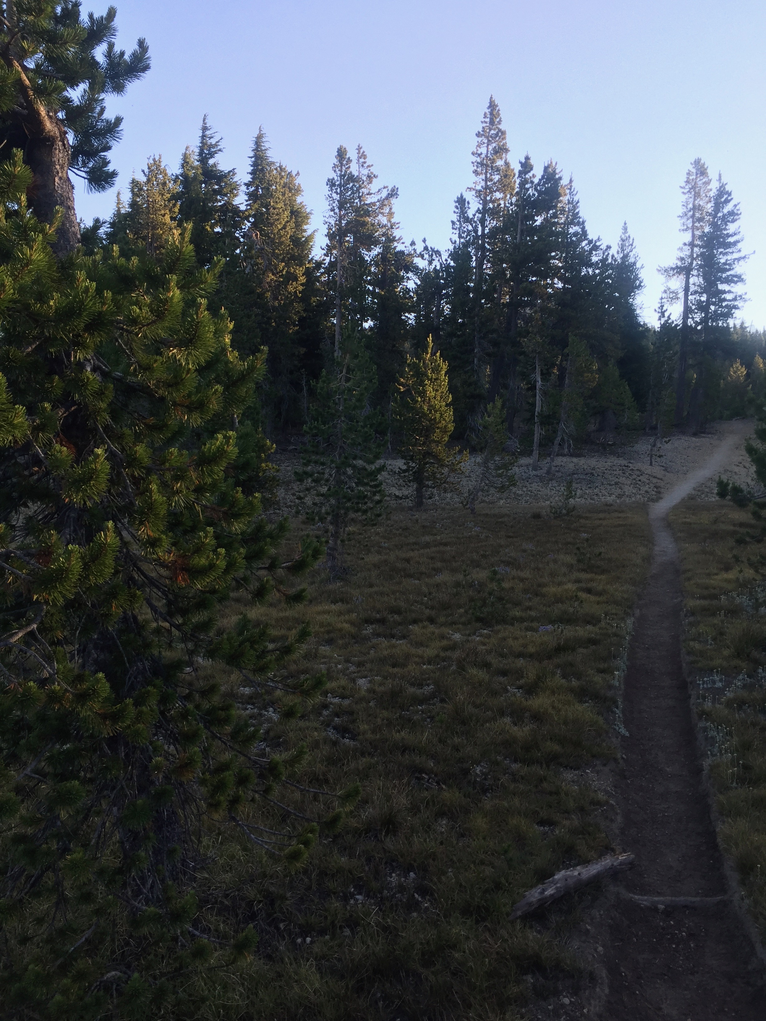
PCT 1883-1888 The trail

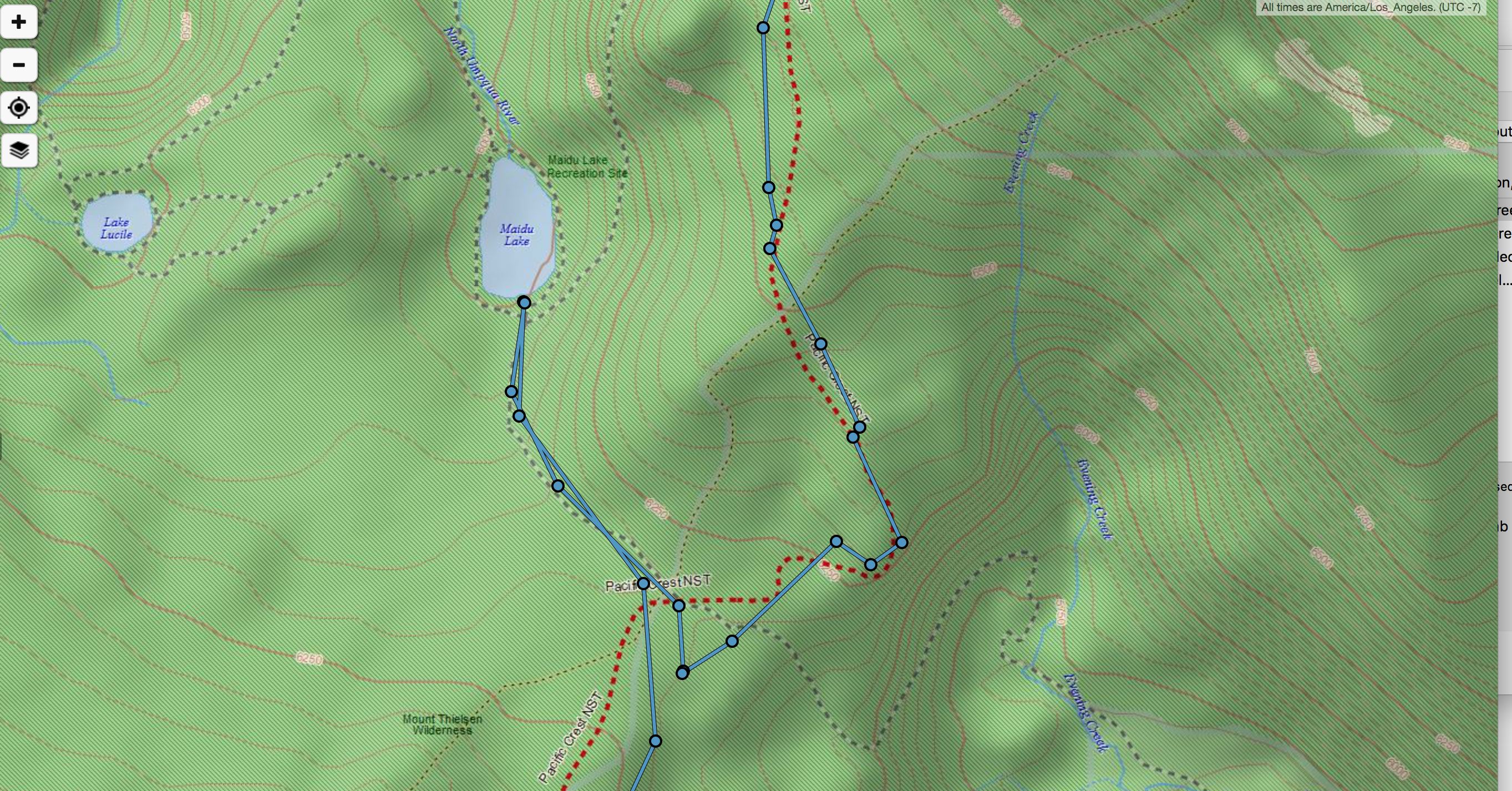
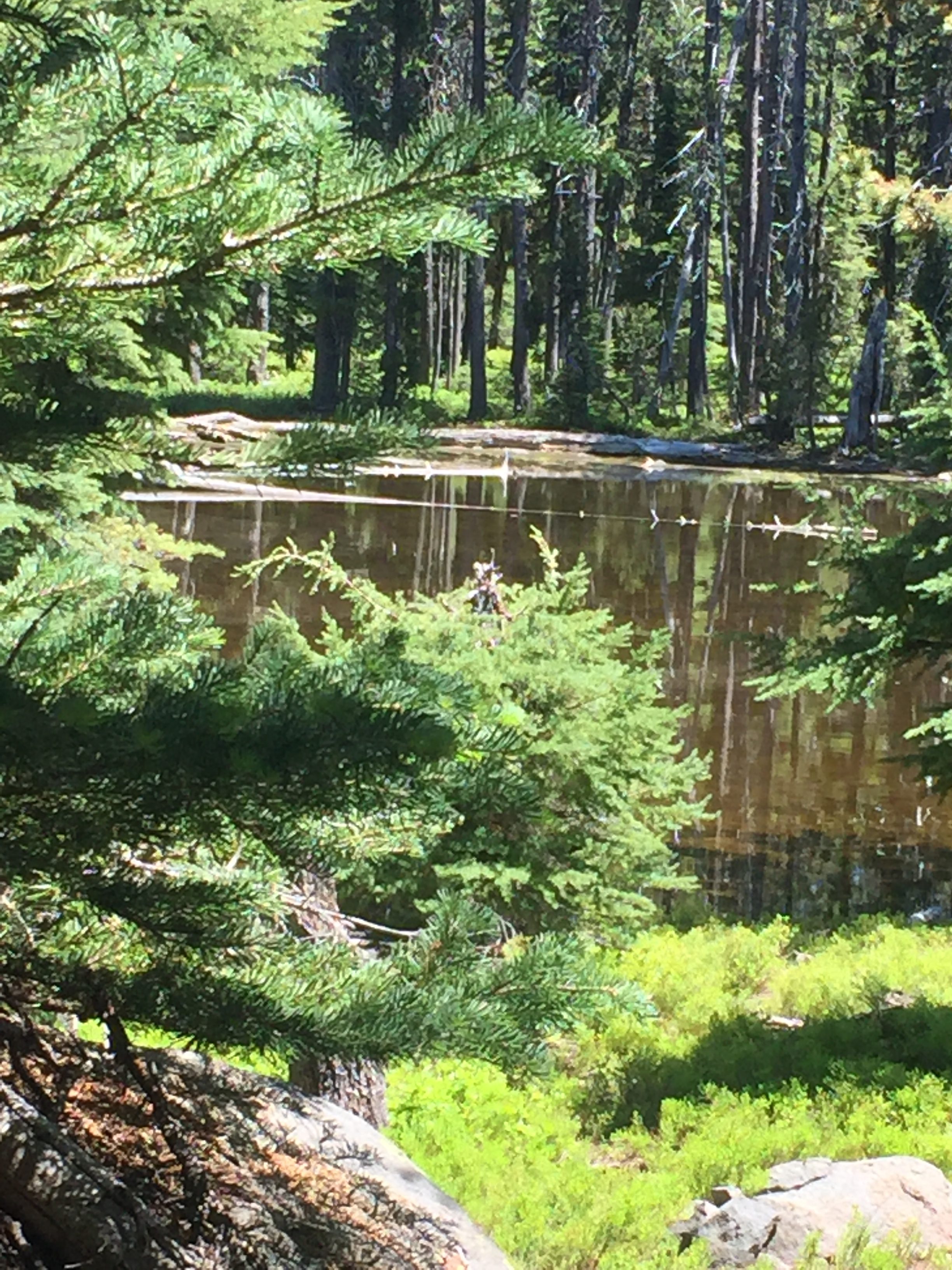
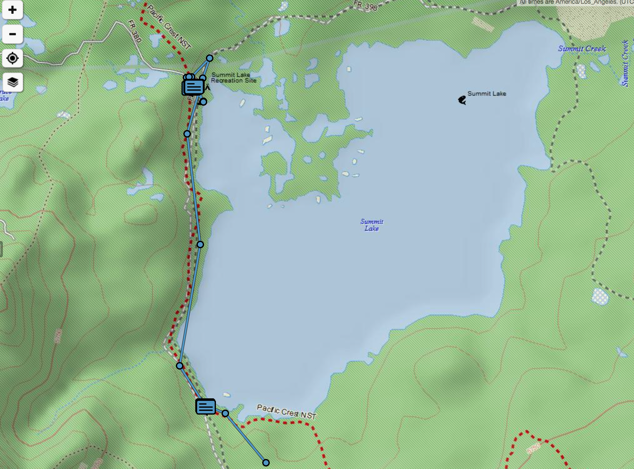
So I hike and get to the south side of summit lake at about 8:20 or so and let Lenora know where I am.  Then I realize this is NOT the spot with the “Large Campgound and Ranger Station”.  That is actually about 1.3 miles away at the other end of the lake.  So I indicate to Lenora I am not at the right place and where the right place is and I proceed to get there.  Below is a picture of the lake.  Pretty huh…. Crater Butte Mountain in the background.
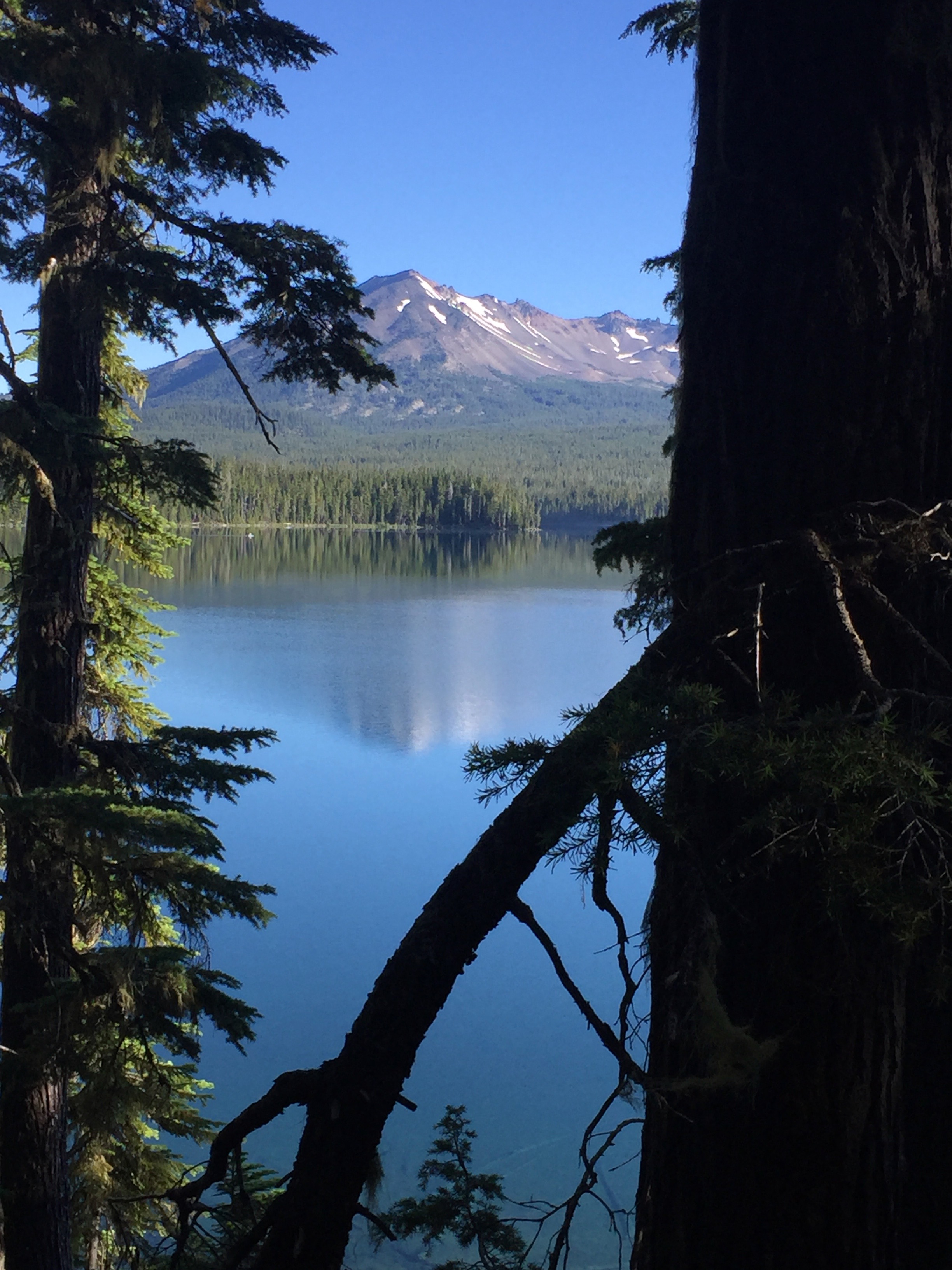
PCT 1883-1888 Summit Lake

Here is what it looks like on the PCT Hiker map.

So I am there at about 9 am which was intended.  I wanted to know what I was dealing with before Lenora left.  I tell her I am there and she says I have a long time to wait cause she is just leaving.  Just as expected because the pickup time was noon and it was now 9 am.

So I look around and sit around.  At one time a thru hiker comes through and sits down by me and we talk while he has a snack.  I ask him what he likes to eat on the PCT since I obviously need something new and he mainly eats packages of things that are wet on their own to which he always adds a generous amount of olive oil.  To make them wetter and to add calories.  It all makes sense and I decide I am going back to the meals that I used at the start of the PCT when I had no problems eating.  They are freeze dried and pretty varied in texture and content.  I stopped using them because they were heavier that other things but obviously lighter just does not work if you can’t eat it.  His name is lickety-split and was so named because he says he gets up earlier that most to hike.  I ask him what time he starts and he indicates 6:30.  I ask him to hold my beer 🙂

Where I am sitting is where 3 roads come together.  Just up one road is where the PCT crosses so I want to be able to see that.  The other road has a sign on it that says Hwy 58 14 miles up that road.  I figure that is where Lenora will be coming from.  The other road is the one that goes around the lake and so that is good just in case Lenora comes in from that way.  So I figure I have it covered.   A couple arrives that goes down to the lake and does some kayaking.   Another couple arrives and goes up to the trailhead on the PCT and goes for a hike with a couple dogs.  All seems good.

It is 12 pm.  No Lenora.  Ok, it could take a little longer than expected.  1 pm.  No Lenora, I’m starting to get concerned.  I have walked up and down all the roads and they seem a little rough but OK for as far as I walked them.   But at this point I start to panic.  Hwy 58 only 14 miles away!!  If she is 1 hour beyond expected arrival something must be wrong.   I text her but get no response which is what I expected because I am sure there is no cell service where ever she is.  So I text Martha and then Martha and Meagan because I felt something had to be wrong.  Lost, ran out of gas, flat tire, broken axle, the list is really endless.  By 2pm I am in full blown panic.  Something has to be wrong.   A biker comes by and I ask him how long he was on the road and if he saw anyone.  He didn’t see anyone but he was only on the road for 1 mile.  I’m waiting for the kayaking  couple or the hiking couple to return to see if they can give me a ride up the road to see if I can find Lenora.   By 3pm Martha and Meagan and everyone else back in Georgia is trying to figure out what to do.  911 was called, Toyota was called to try and locate the car.  I have a problem…. should I leave and try to locate her or should I stay and hope she is just delayed.  What if she gets here and I am gone?  I just can’t believe she is delayed, there has to be something wrong.  The kayaking couple returns and I ask them if they happen to be going back to Hwy 58 and explain my fears.  They are amazing and indicate they are and will give me a ride and help search.  I get in their 4 wheel drive truck and they start to turn left down the road that follows the lake.  I say WAIT, can you get here more than 1 way?  The sign says Hwy 58 is to the right.  They say there are two ways and the road to the right is a TERRIBLE road and that she gets sick when they take that road.  I indicate Lenora is coming from Redmond and they both agree that the GPS would have directed her to take the TERRIBLE road.  Amazingly even through this road will make her sick they agree to go that way to try to locate. I describe the car and we are all looking for any signs of a car leaving the road or stopped or parked or whatever.  The road is indeed TERRIBLE.  At two points he had to stop and determine the best part of the road to take to get past ruts and rocks.  At one point had to back up and try the opposite side.   And then folks a miracle occurs.  He asks me what color car was she driving?  White I say.  Well, this is unbelievable but there is a white car behind us right now.  He stops and lets the white car catch up.  It is Lenora!!  It is 3:47 pm.  Crying and hugging involved.  While we were crying and hugging the angel couple left.  I feel very sad not to have their names and address.

By the way, the “Large Campground and Ranger Station” needed to be read in context.  Large was by PCT standards.  Rather than 1 to 4 tent spaces there were probably 10.  The Ranger Station consisted of a box where you could leave the fee for using the facilities.  Believe me I searched for a Ranger Station, you know where Rangers actually live and manage the area, thinking they could help.  The kayaking couple indicated they come here because they are always the only ones on the lake.

Back on the boring old PCT trail next Monday.

Iphone says 9.4 miles and 23572 steps.  5 miles of PCT and 4.4 miles walking up and down roads hoping for a miracle that eventually happened.

Lenora’s Story:

Possibly a day better forgotten than remembered but also a good lesson in how easy it is for things to go wrong.  I get my expected slow start and at 9:00am I message Don I am leaving and I lug computer, two maps, phone, extra water and myself to the car.  A short time down the road I remember I was supposed to fill up with gas before the pick up trip.  Next exit says Gas, Food, Lodging so I exit.  It is north Bend, Oregon where nothing is ever what it seems.  Can you remember Alice in Wonderland?  Lots of food, a couple of Boutique style hotels and tons of yuppie restaurants in downtown Bend but not a gas station in sight.  I make my way back to the highway and try again 2 exits later with same results.  The third time is the charm and I am leaving a town 14 miles south of the hotel about one hour and fifteen minutes after I start the drive.  The computer has recommended a route way northwest of the Lake and then drop back down as roads are few and far between in these parts but on Highway 58 I see a turn-off to Summit Lake and I turn onto it.  It said Summit Lake 14 miles and 17 minute drive in current traffic conditions.  I am a little curious that this was not the way I found on Google maps but I drive.  I have only been on a road this bad once before and I was not driving.  It scared me so I got out to walk down the mountain on that trip and beat the car to the bottom by about 15 minutes.  I made it in about 5 miles in 45 minutes and the road was not getting any better.  I figured if Don ever saw that I was on this road he would be furious so I found a wider spot among the boulders and ruts and managed to turn the car around and head back to highway 58.  By now 11:00am is looming and I have 40 miles or so to go but I feel good about my decision.  I may be late but at least I won’t be in trouble for choosing a bad road.

The next hour goes pretty slow as once off 58 I am in dirt road world and I make some errors in following the tracks.  The map shows a left turn and I am at a spot with a right turn or straight.  I try straight and the road quickly deteriorates so I go back and try the right.  That road ends abruptly and I turn around to return to the bumpy road.  After a few miles, a couple more wrong guesses as to how the map mimics reality and almost two more hours have flown by.

I finally find myself crossing the PCT, I see the trail and the sign and the Guthook map says I am near the mile marker I am heading for.  Another half hour I have gone up and down this stretch of road passing the same camper 3 times and there is no other place to look.

All day I have be heading to the campground and ranger station on the south shore of this lake with no success.  All other options exhausted I recall that the first place Don stopped was not right and he was going on further so I make the turn to head north along the lake and drive slowly pausing to honk my horn at every crossing track or path hoping to find him.  When the road around the lake turns to the right I keep following it rather than heading away from the lake and I realize it is now about 4 pm and it is going to get dark and I have had no cell or wifi all day and have no idea how to ask Don where he actually is.  I am at my wits end by now sure I am going to be spending the night somewhere other than with my husband and very very discouraged.  I realize I am crying and I start to pray, out loud and really loud.  I ask Dear Saint Anthony to help me to find my lost husband, to carry my need straight to my Father in heaven.  I admit I do not have the answers and I need the Lord right now.

For about 5 minutes there has been a van ahead of me going as slow as me.  It is the first car I have seen on the road for hours.  Suddenly this van pulls to the right and stops and the driver sticks out his hand in a stop motion.  I stop.  I sit. Seconds pass and nothing happens and I wonder if I should have stopped.  Then the back door of the van opens and I see Don start to climb out.  All I can do is cry over and over, “Thank you Jesus, Thank you Jesus.”  I am shaking so hard it is difficult to get out of the car to hug my ‘found” husband.  In the midst of the reunion the van drives away and we never found the names of the people who helped this unlikely reunion happen.

That is the thing about this adventure of ours.  We keep getting ourselves into strange situations where we are headed on parallel roads with no idea of how close we are, or take a ‘wrong’ turn or give up and just sit down only to find that a small ‘blessing’ occurs and suddenly we are both in the same place once again.  I know now that Don and the girls were very worried but I was not worried.  I did not feel lost or in danger at any moment I just could not find the desired location.  I did not worry until I realized how very much time had passed with me unable to get to the right spot.  As it turns out the TERRIBLE road Don talked about was the road I tried to go down at the start of the day and if I had just persisted I would have ended up at the very right place.  It was also the road we took to get out of Summit Lake and back on the highway to the hotel.

Not a stitching day, a long and emotional day and we both felt like we had run a marathon so the day ended early.  The next 3 days will be fun because we will be together and figuring out how to make next week go better.


July 18 – PCT 1870 to 1883

Had a good night.  Wake up feeling great and ready to go.  Get packed up and have my Carnation breakfast.  I can tell that this lack of eating is starting to take a toll.  I feel good but a little weak and under stress I go really slow.  I am not aware of it at the start but in 6 miles I have a really steep 4 mile ascent ahead of me.  I do realize it before I get there however as I look at PCT Hiker and can see it is steeper than anything has been in Oregon to this point.  I figure I have to eat and so I give it a try.  Find a nice spot and pull out the stove and fuel and boil some water and add the Ramen noodles.  Cut in some cheese and some summer sausage and add some olive oil.  I take a few bites of the noodles and it just ain’t going to happen.  I can’t.  I do pick out the summer sausage pieces which go down ok and then I drink all the broth which I think helped.  I start the 4 mile ascent.  I’m just very tired and don’t go fast but eventually do make it to the top.

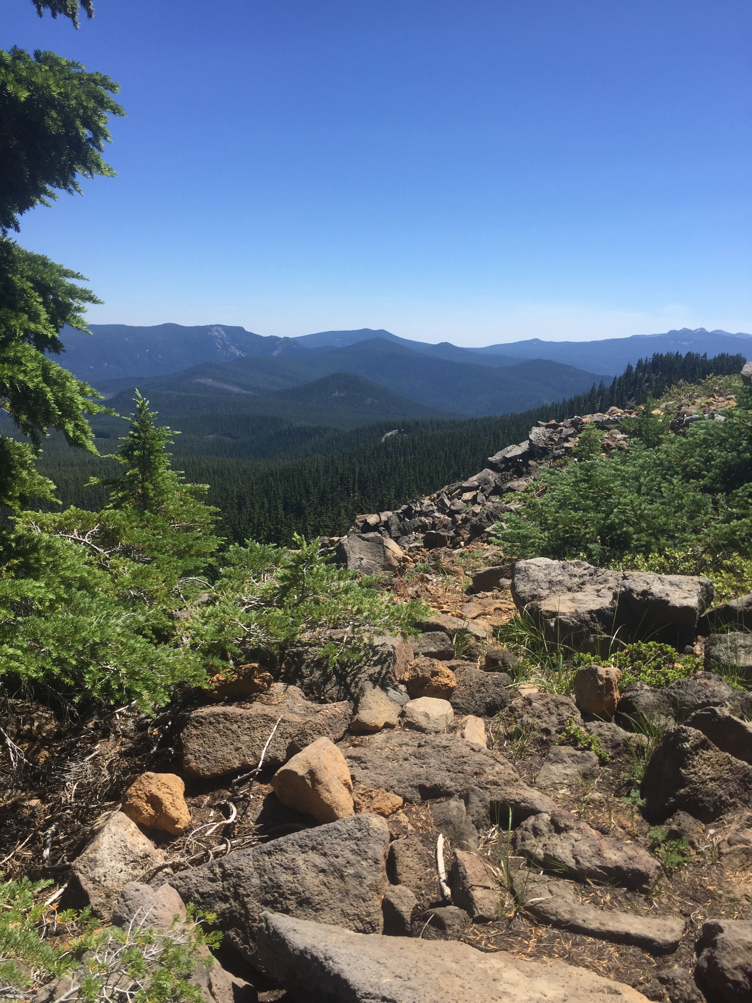
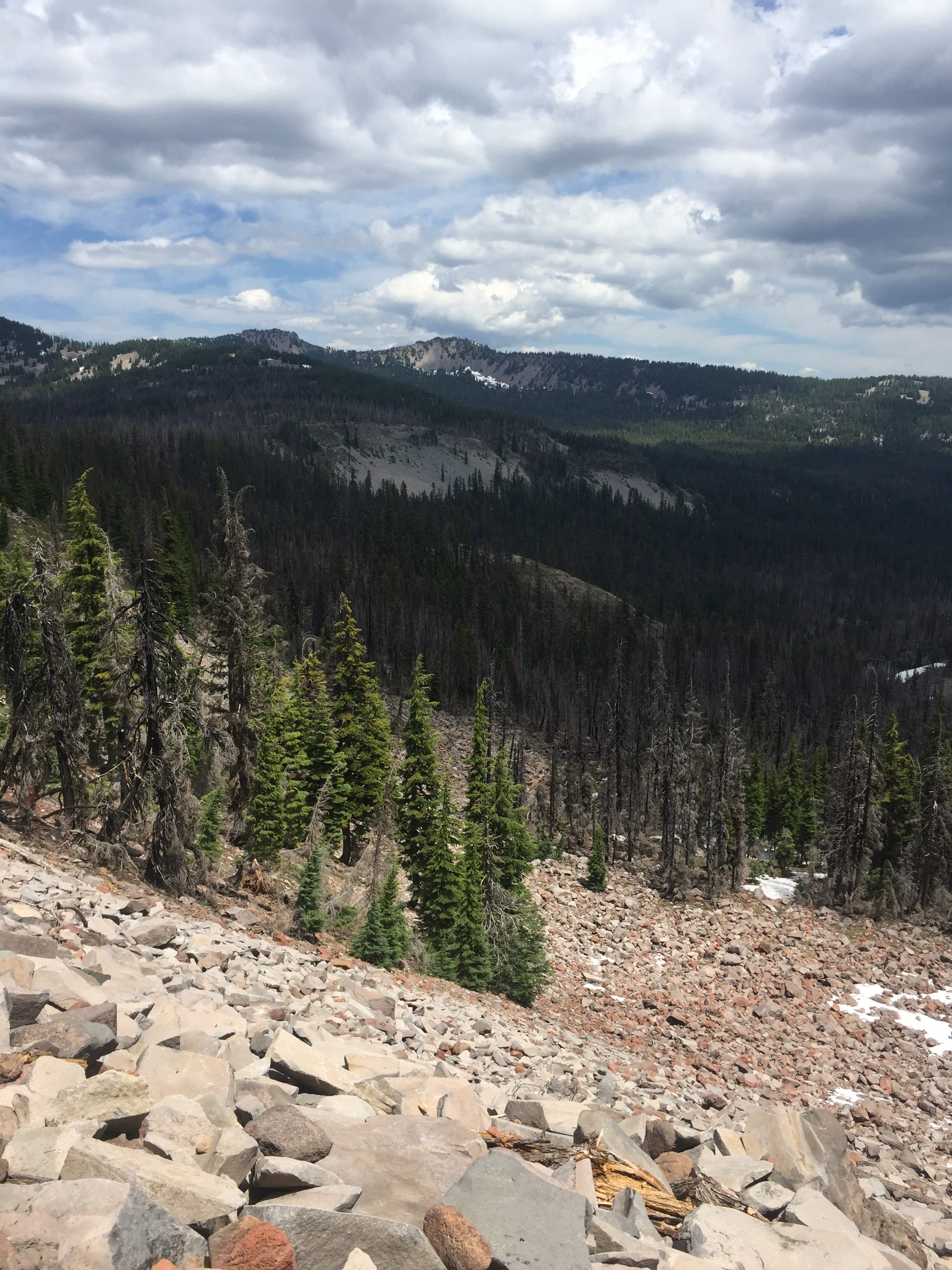
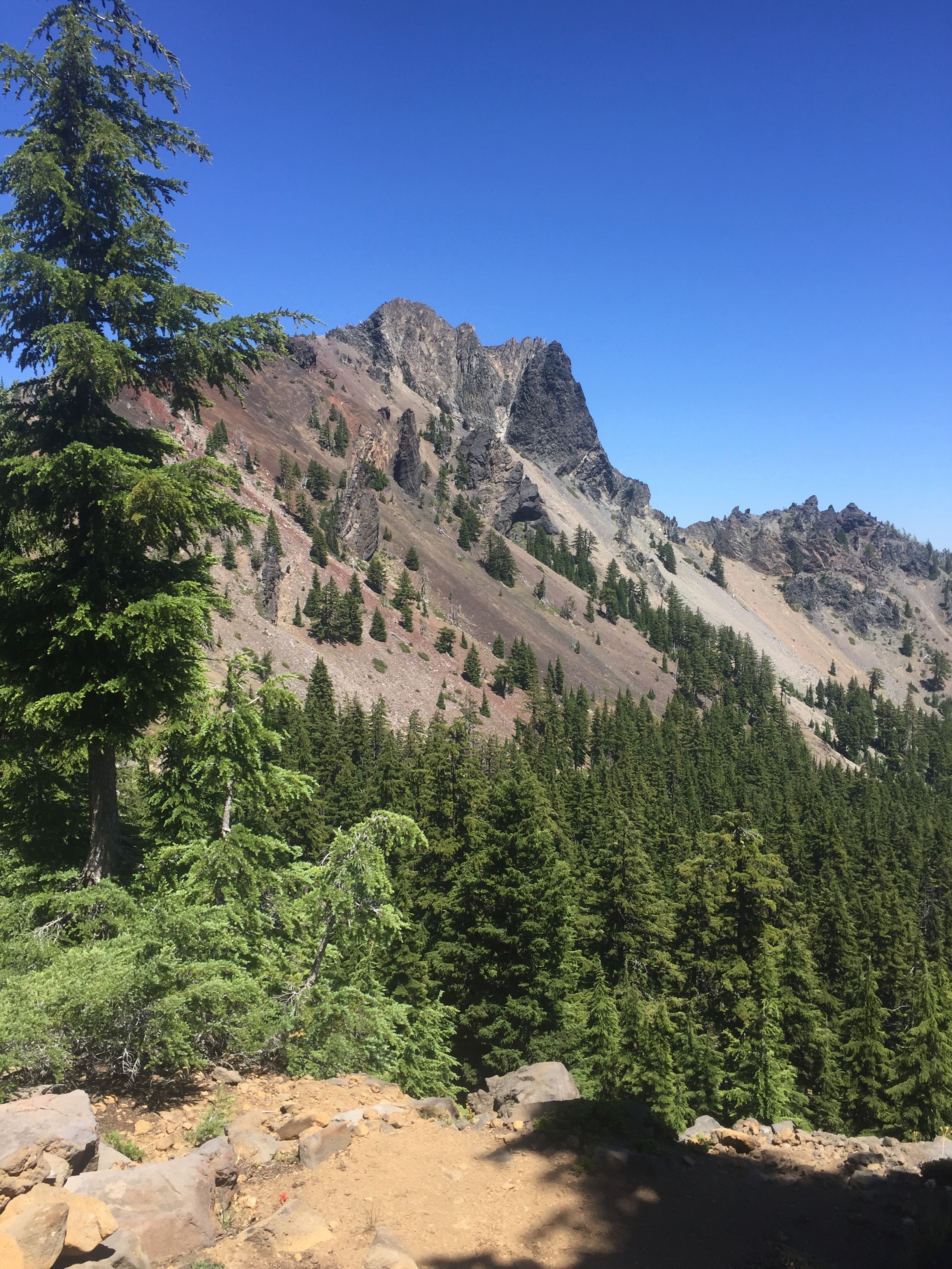
It took me about 4 hours to make it 4 miles.  Went from 5800 to 7300 feet in elevation which I think is about a 7% grade is all.  That does not seem to bad but doing it for 4 miles perhaps adds a level of difficulty.  Anyway at the top, I was happy and tired.  Below is a picture taken of Cowhorn mountain near the top of the climb.  As you might be able to guess from the picture, the trail was also a tad rocky in this section rather than the normal soft forest floor.

PCT 1870-1883 Mount Cowhorn

The picture above was the east side of the trail of the mountain and the picture below of the west side of trail.  Both views were worth the climb.

PCT 1870-1883 west side of trail from Mount Cowhorn

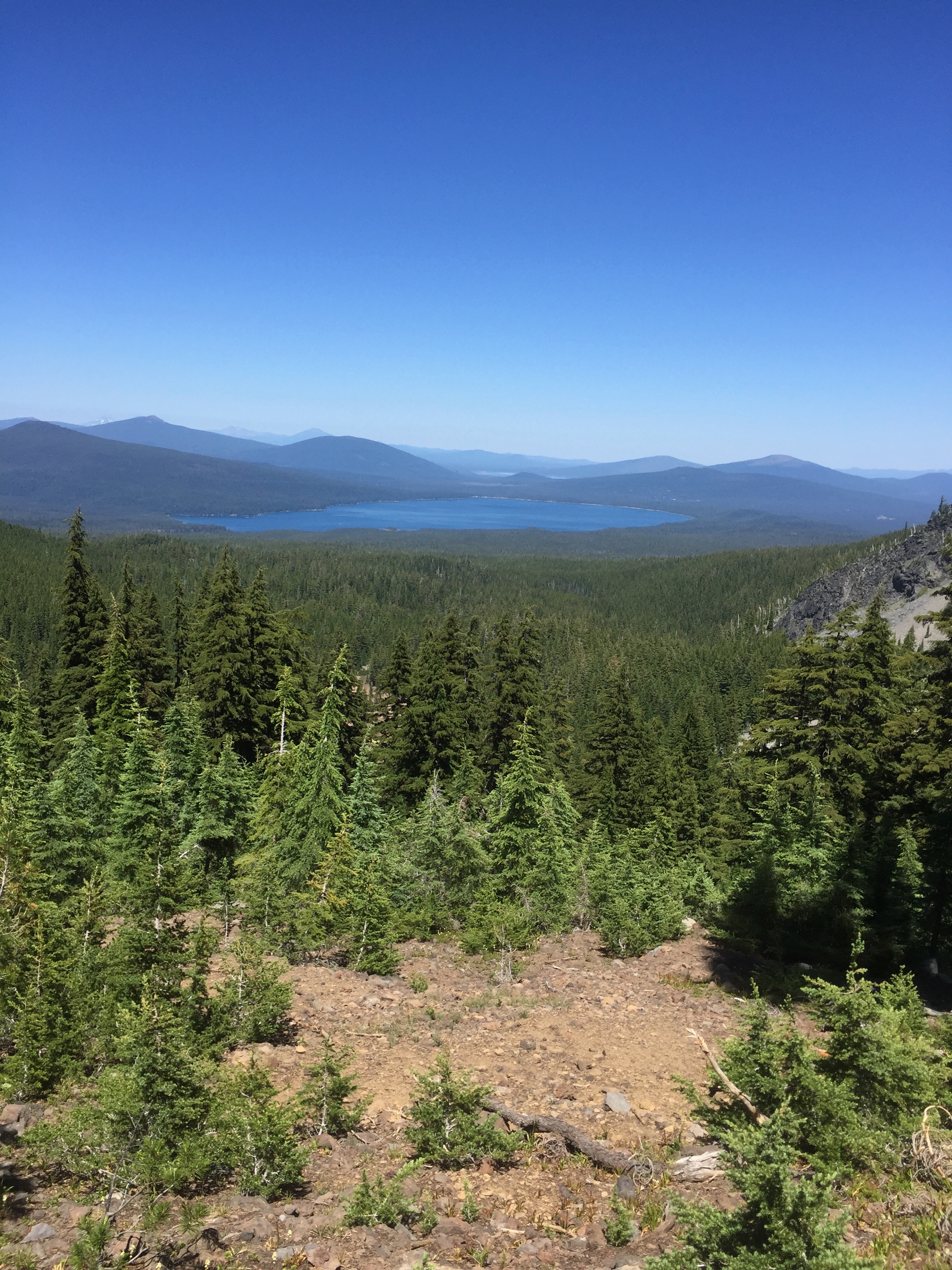
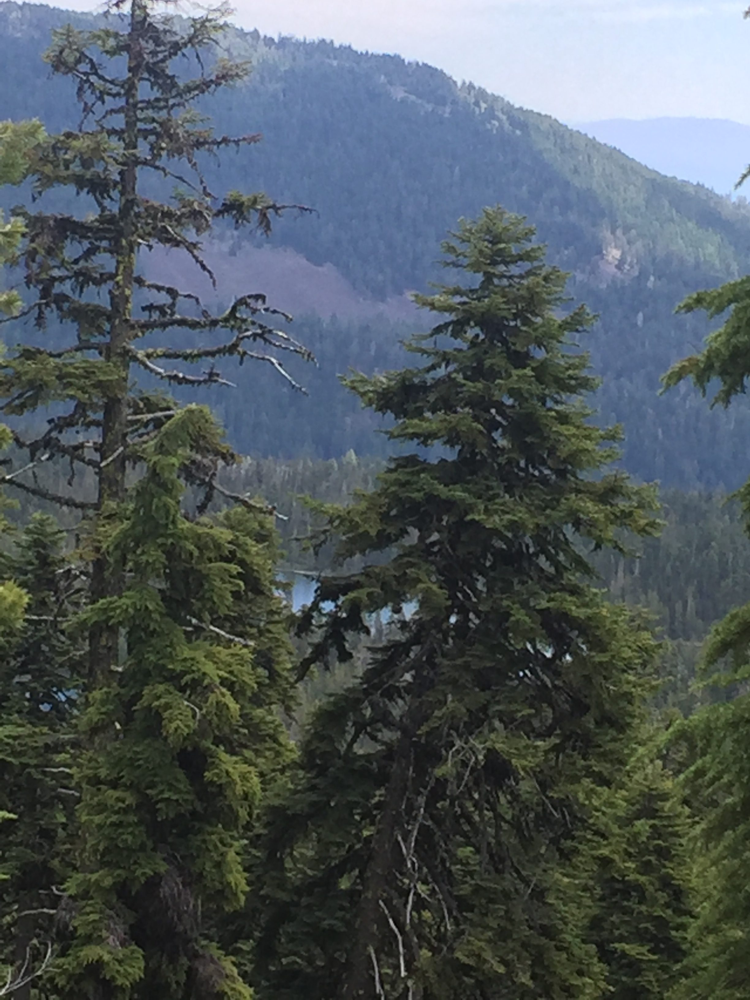
The trail actually wrapped around Cowhorn Mountain and this is the view on the other side.  A very pretty lake but I am not exactly sure which lake it is.

PCT 1870-1883 unkown lake near Cowhorn Mountain

After getting to the top, I hike down for about another 2 miles to a reasonable looking camp site and decide to stop.   Pretty early, about 4 pm I think, but I am beat.  My body and feet are holding up better than expected and I am happy about that.  However, my energy level has plummeted with lack of fuel.  Knowing I need to eat, I can’t force myself to do.  I’m sure it won’t stay down.  I have the usual to eat and start looking for an EASY way to get out.  I’m not giving up.  I will continue.  But for now I need to do something.  I only have 21 miles to go to reach my goal for the week but the way I’m feeling that could be 3 days and not sure how I would be at the end.

NOTE TO SELF:  There never is an easy way out of the PCT unless you are  crossing a major road.  It may look EASY, it is NEVER EVER EASY.  The illustration of that will come tomorrow.

Iphone health app says I did 13.5 miles and 36510 steps.  The funny thing is that it does not believe I had any significant change in elevation!!  I believe that is just an indication of how slow I was walking.

Lenora’s Story:

It takes a while to get Don’s response to my message about the offer on the house and in typical Don on trail fashion he is brief and to the point.  Message says “I am inclined to accept.”  Since we are in agreement I go ahead and commit my signature to the agreement.

Now I get to wonder about the other two messages he sent.  “Possibly?” and ‘I guess not”.

It is only later that I realize that not all his messages come to my phone.  Some just show up on the inreach page on the computer and this is how I find he wanted to be picked up today.  It is too late for that but I check the map and just cannot find any kind of road or track that leads to where he is now.  At the end of the day he is asking to be picked up tomorrow at Summit Lake and admits he cannot eat and is getting very weak.

Now I don’t know whether I am more scared or more angry.  What is going on I wonder?  Is this a foolhardy attempt that I should not be supporting?  How do I stay positive when I just want to tell him we are done.  Fortunately nothing happens immediately on the trail as the tale of tomorrow will show and by the time we are reunited I am once again in control of myself and able to sit in the cheering section again.

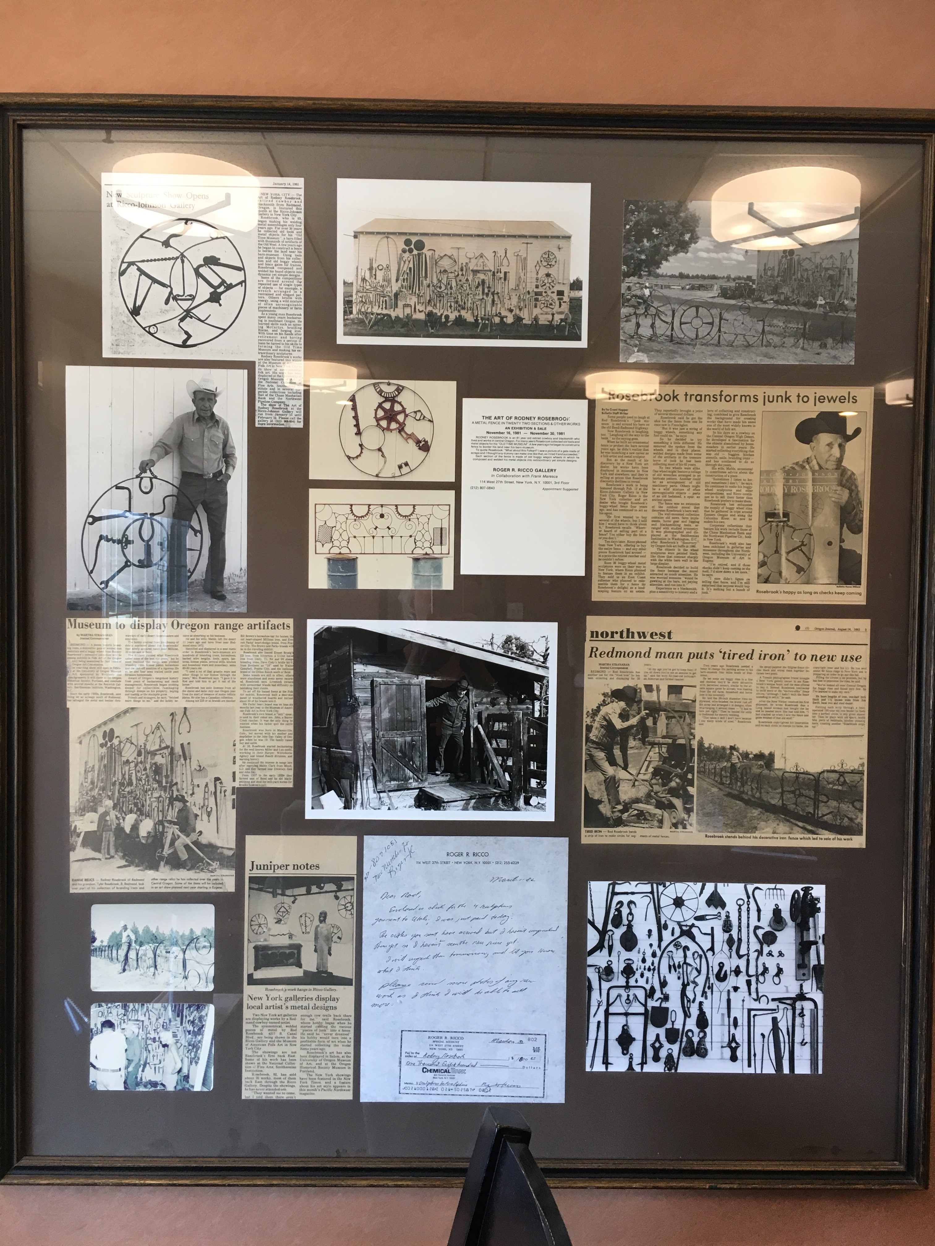
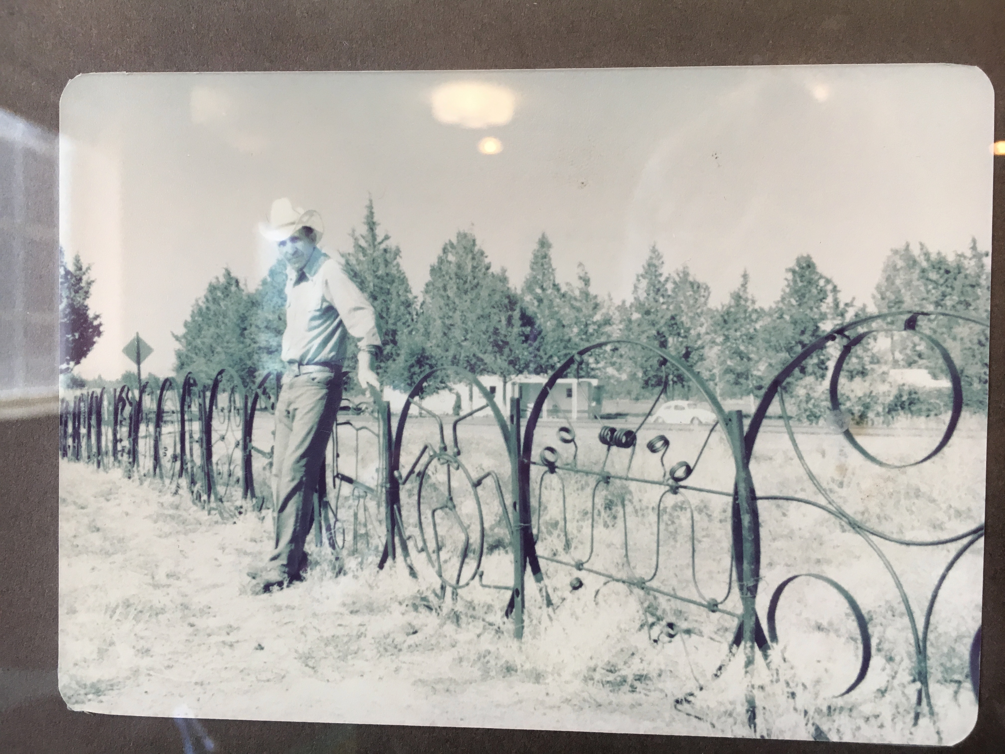
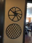
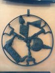
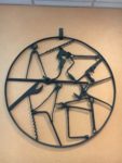
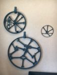
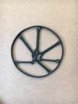
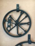
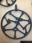
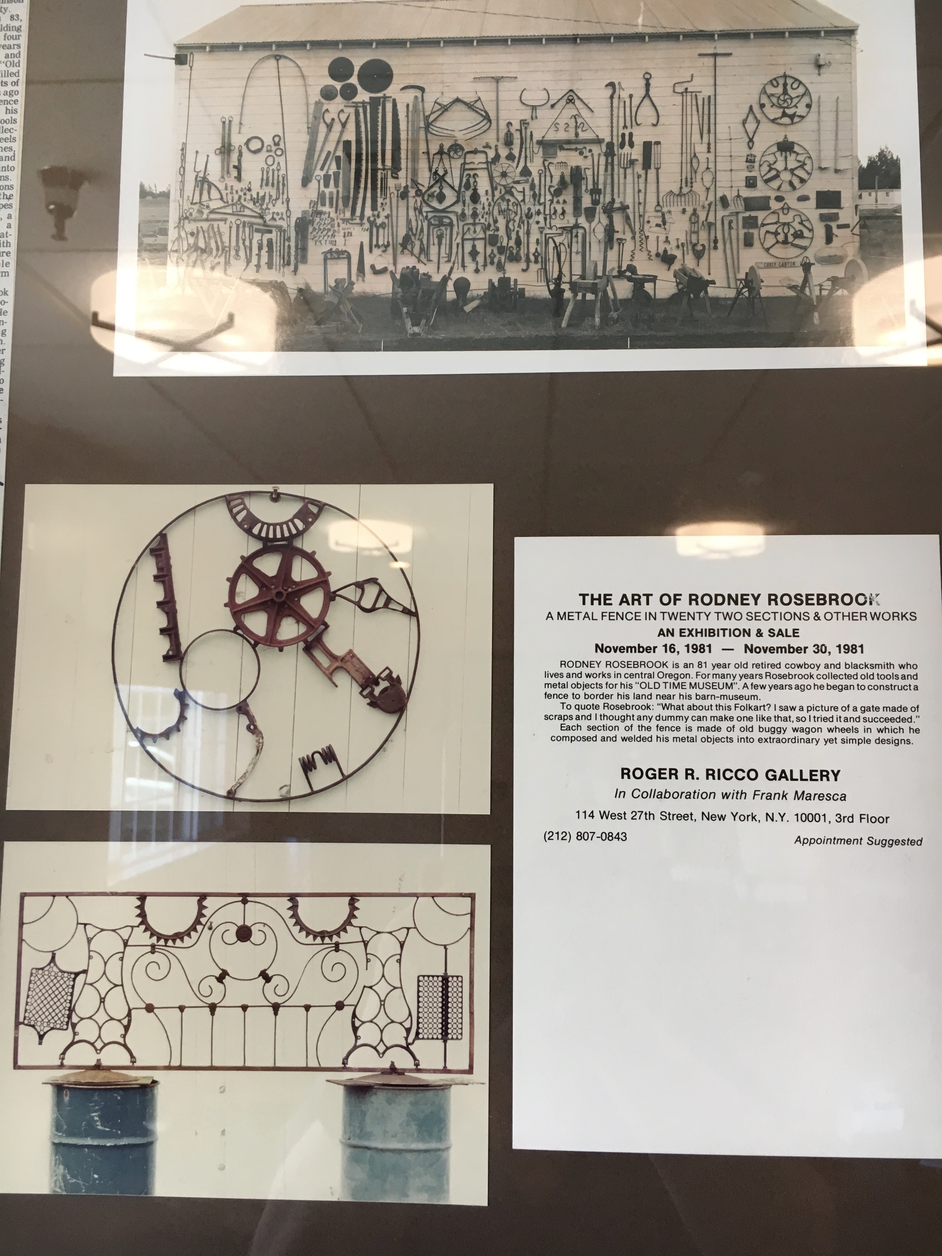
I am in a Best Western in Redmond Oregon.  The artwork here is incredible and I cannot stop taking pictures.  I find this photo on the wall that explains the art and the artist.  I am hooked.  I want to have fences like this on the farm.

Story of the Artist and his art. Rod Rosebrook is his name and his story is inspiring.
The artist and his fence.

#5: 5 Gold Rings

I continue to stitch and would have completed the Penguin piece in one more day but I have run out of one of the critical threads and need to find a place to buy more.  Another job for tomorrow after I meet Don at Summit Lake.  I look at Google maps and get directions to the south shore of the lake and all the roads look like they will be paved.   About 90 miles and 3 hours travel time so I decide to sleep in and take a slow easy morning since he does not expect to meet me until noon.


July 17 – PCT 1856 to 1870

I have a good nights sleep and get up about 4:30.   Get everything back in the pack and again have 2 Carnation Instant Breakfasts for breakfast.  I figure if I have the summer sausage and cheese where I can get to it easy, I might be more likely to eat so I rearrange a little so I have easy access to them.  Feeling good, I start hiking.

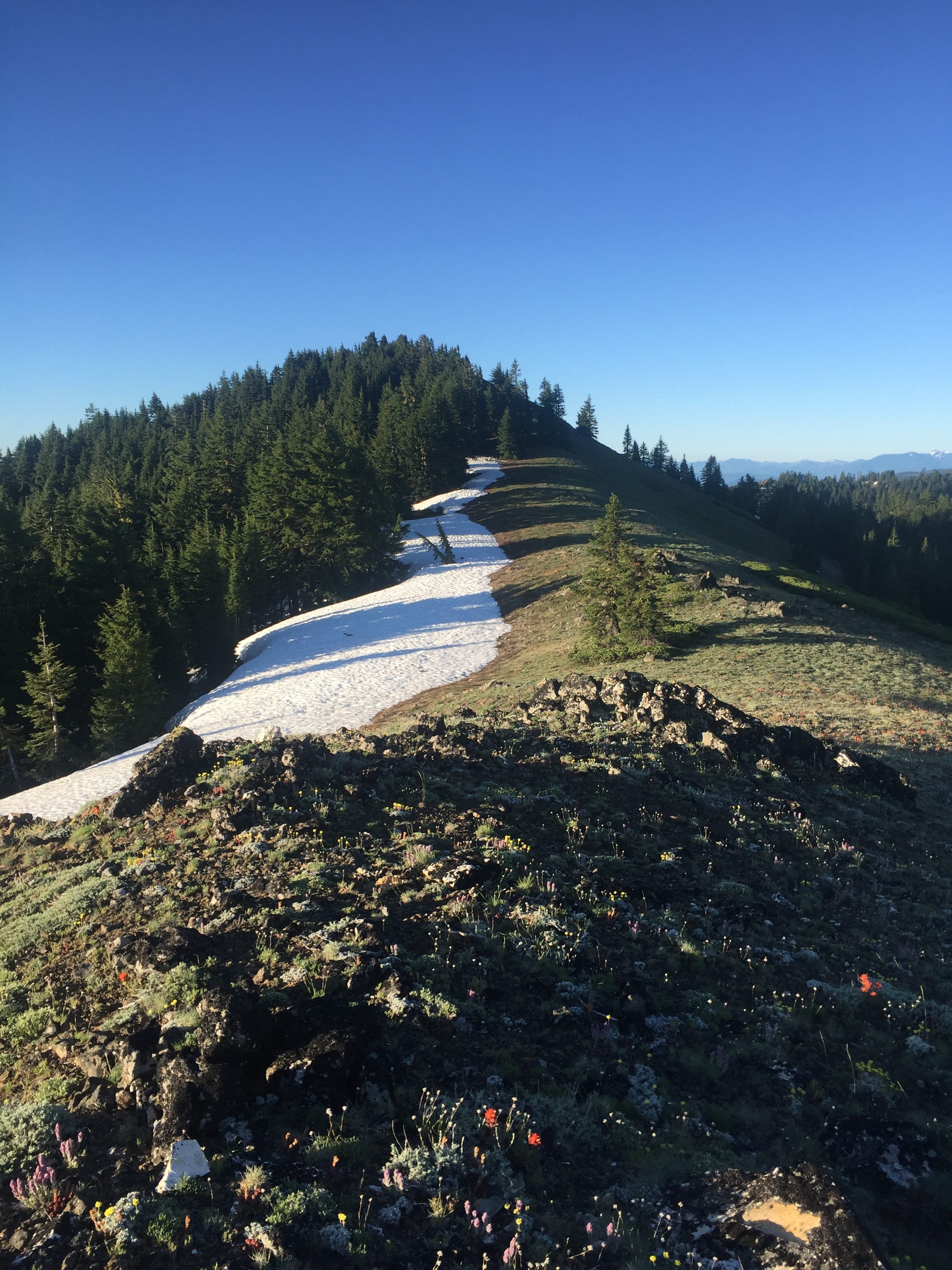
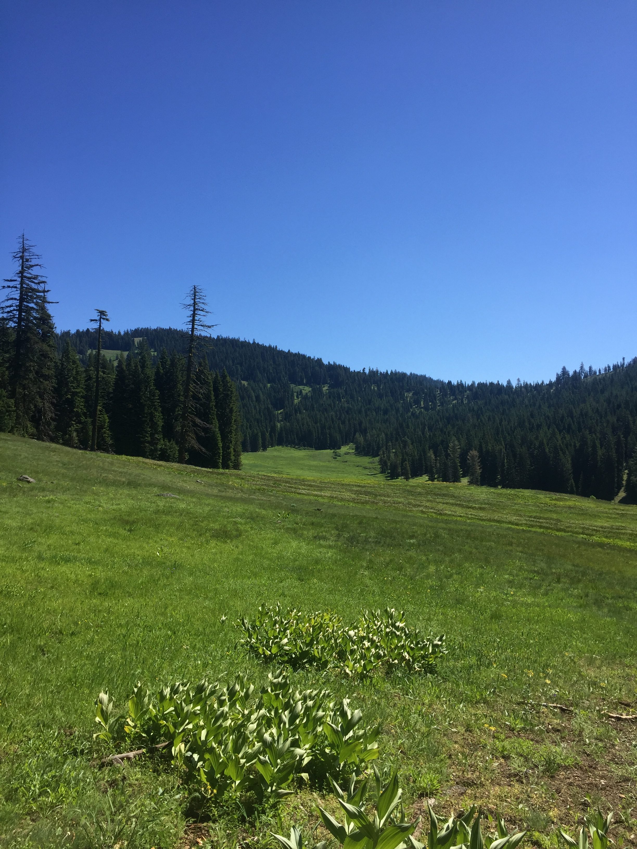
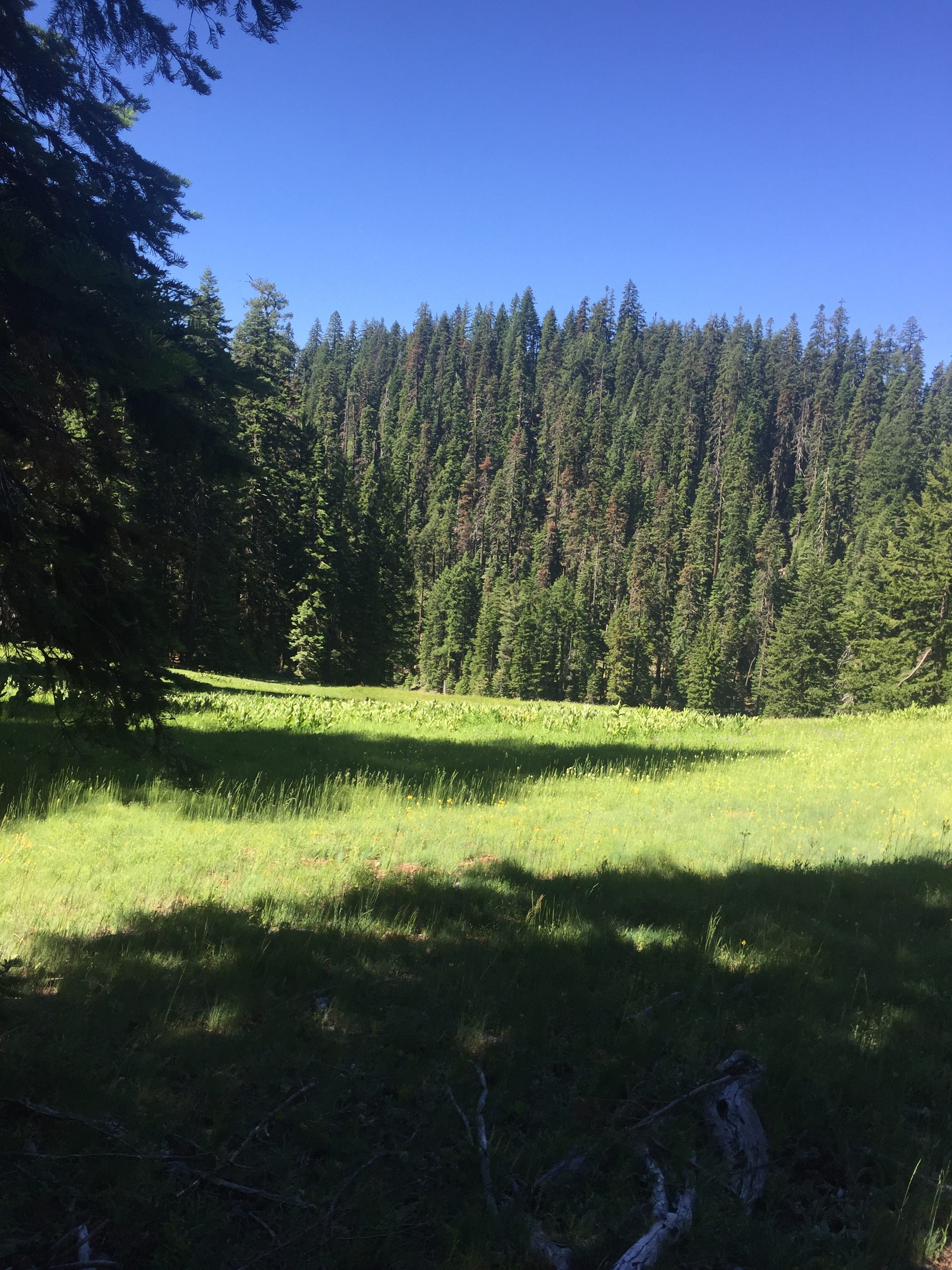
The pictures below were just taken because I thought it was a pretty view of the trail in the early morning.  The hike is about as expected.  You go up and then you go down and then you repeat.   The slopes are not overly steep.  If I were walking this after having traveled 1800 miles from Mexico this would really be a piece of cake.  I can remember that this level of slope was not as difficult as it is now.  However now is now and I am breathing heavy almost continually and have to stop often to catch breath and get the pack off my back for awhile.

PCT 1856-1870 Just an early morning view from the trail


PCT 1856-1870 The trail


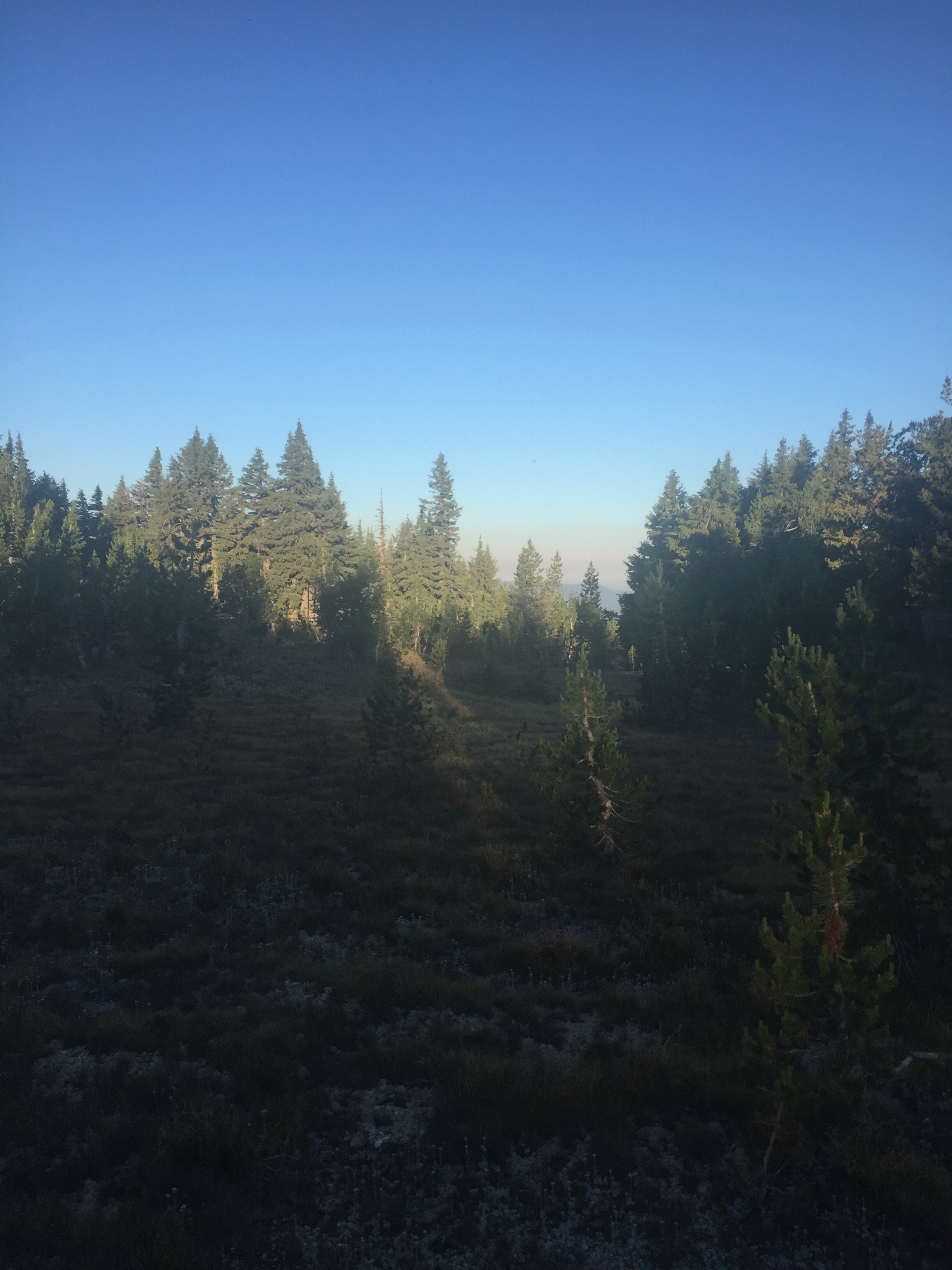
PCT 1856-1870 Pretty Morning


PCT 1856-1870 The sun on that little bosh was amazing


PCT 1856-1870 The trail and what made that mark on the tree?

This last picture above was taken an 7 am in the morning.  I did not take another picture all day long.  I was actually too busy trying to catch my breath.  There were some mighty pretty things along the way and some nice wildflowers.  I’ll get stronger and better at this.

I am in a 16 mile waterless stretch from Thielsen Creek to Six Horse Spring.  However, it is fairly hot and not being in great shape, I am drinking water rather freely and really don’t want to wait till I get to Six Horse Spring to get water.  I start looking at my apps and no water is mentioned directly.  However on GutHooks PCT Hiker there was an entry about Maidu Lake Junction and if I clicked and read the comments it indicated it was a beautiful lake and was only .8 miles off the trail.  I decided to give it a try and walked the .8 mile down to the lake and it was a great decision.  Nice clean lake with clear water and so I filled up.   This was at mile 1865 or so and so I had another 5 miles to get to Six Horse Spring.  This nice lake was not even mentioned on the Halfmile PCT app and so I was happy to have both.

Oh, and here is something cool.  Today on the PCT I passed over the PCT’s highest point in Oregon at 7,573 feet at about mile 1860.  This is just east of Tipsoo Peak.    The highest point on the PCT is in California  at Forester Pass at 13,153 feet.  I’ll figure out the highest point in Washington when I get there.

I have not seen a single person all day.  The German fellow was still sleeping when I left and he has not passed me which is a bit of a surprise but I assume he went by when I did the Maidu Lake diversion.  I plan on camping at Six Horse Spring and the apps say there are 4 camp sites there.  I have not seen anyone all day but literally within 1/2 mile of Six Horse Spring 3 people pass me and say they are camping at Six Horse Spring!  3 of 4 camp sites will be taken  .  I look behind me and hope I do not see anyone else.  I did not and was able to manage the last half mile without being passed and did get a tent site.  However, once there, I could see there was room for others.  So Six Horse Spring water is  .6 miles off the PCT, but unlike Maidu Lake, this diversion to get water is straight down!!  After resting for awhile, I grab 2 of the water bottles (2 liters each) and head down to get water.   After .6 miles I do indeed get to a “spring”, however it is stagnant nasty looking water.  I had read to keep on going which  I did and in another .1 mile there was a spot where the water was flowing and I could get water.  It had “things” floating in it even so but I was able to clear that out later with a screen filter I carry for such occasions.  The hike back up was the most steep I have had on the PCT but only for .7 of a mile.  I made it back up, drank a lot of water, had 2 Carnation Instant Breakfasts and felt pretty good.

A little later another south bound German hiker (Germans really seem to like the PCT) came into camp.  He was low on food and was asking if anyone could spare some.  I had a 7 day supply that so far I was not eating and couldn’t see me ever doing so and so I gave him either a 4 or 5 day supply of food.  I can’t remember exactly, I was just pulling out food and giving it to him.  He was a happy camper and so was I.  My pack was now much lighter and he had food.  Win-win.

Iphone health app says I did 14.5 miles and 39402 steps.

Lenora’s Story:

While Don is on the trail I am in the happy position of being the recipient of missives and messages from both daughters.  Today I get a really neat text from Myla and it is touching and makes we want to talk to her.  We have a good long talk and I revel in the positive feelings of being in tune with one of my kids.

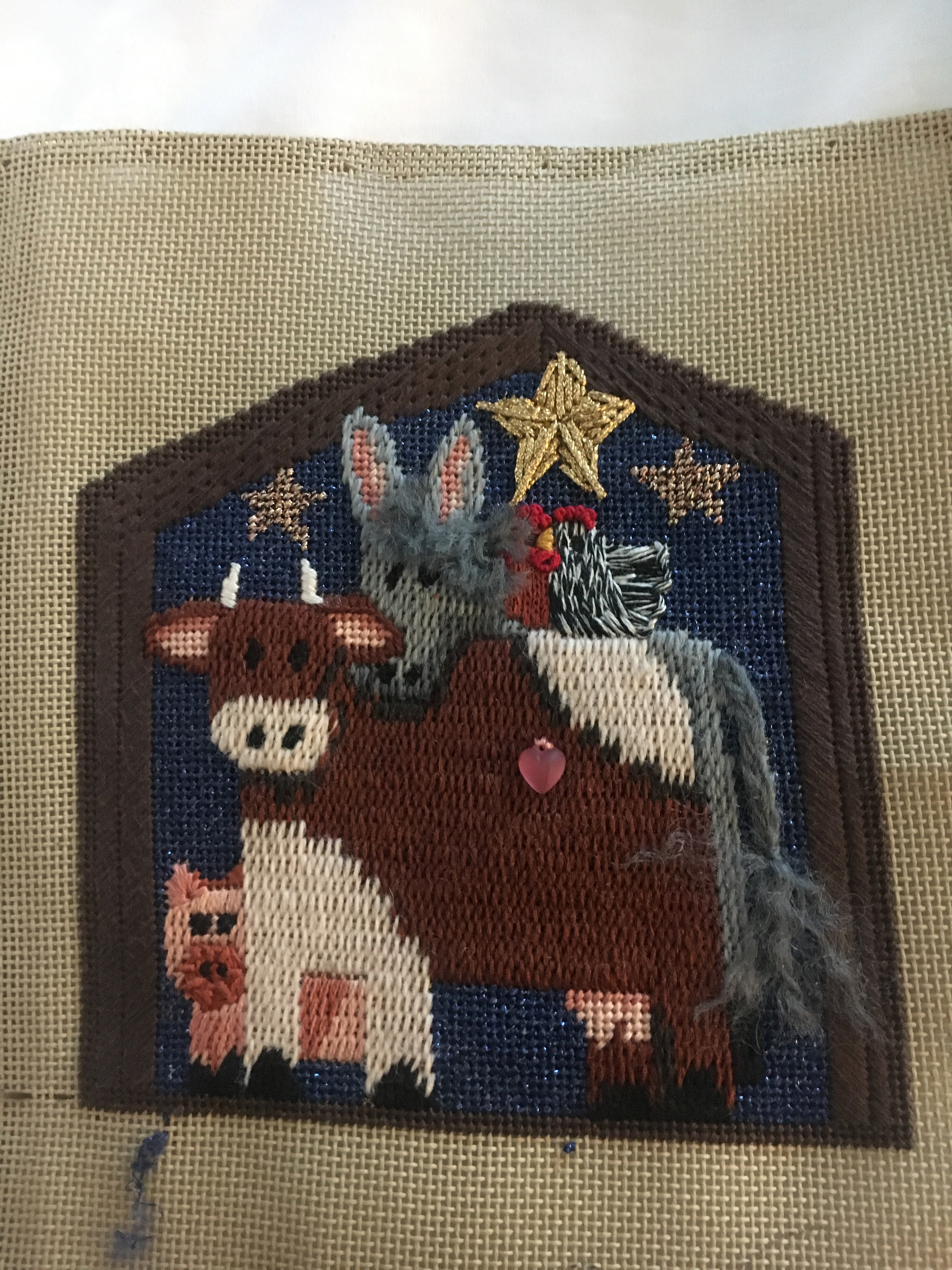
I am not neglecting my stitching duties and today I complete one piece of a nativity that I have had in my stash for years.  Then I finished up #5 Ornament of the series of 16 called Five Gold Rings and it is finished finished, that is ready to use.  By end of day I am working on a Charlie Harper Penguins needlepoint and making good progress.  This is turning into a productive week already.

Animals of the Nativity set.
#5: 5 Gold Rings


The offer to buy the CA house arrived late today and I told the realtor I would sign off after Don and I got to agree.  It is a good offer and it seems we are on the correct path.  I will hear from him tomorrow I am sure.  He is still moving steadily forward and at this time I still did not realize he is unable to eat so I am foolishly and fondly feeling very positive about his first week out.

July 16 – PCT 1845 to 1856

So the day begins normally.  Lenora and I get up at normal time and go down to breakfast at the hotel.  Then get on the road and about 2 hours later are at the location where the PCT crosses Hwy 138.  We pray and I start out.


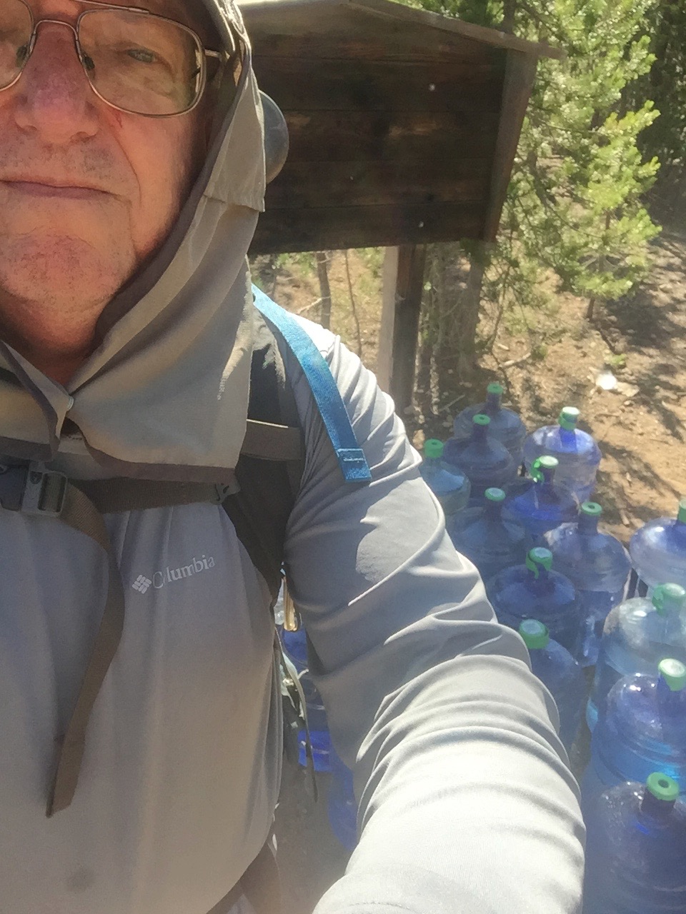
After just one half mile I crossed Forest Road 961 and there was a huge water cache.  I started at Hwy 132 rather than Hwy 26 because it was basically a waterless area between the two.  Add that the next water is 8 miles from 132 and you basically have 34 miles without water.  That is why some very kind soul put the water cache here.  I can imagine everyone finds it an amazing gift.  I had drank 2 liters of water before I started and so did not need any.  You can see in the picture below the number of 5 gallon water jugs that someone left here and probably maintains the entire season.  Amazing generosity!!

PCT 1845-1856 The water cache

I had noticed two other hikers that seemed to be going south back at the 138 but within a mile both of them passed me without saying a word heading north.  Both young and fast.

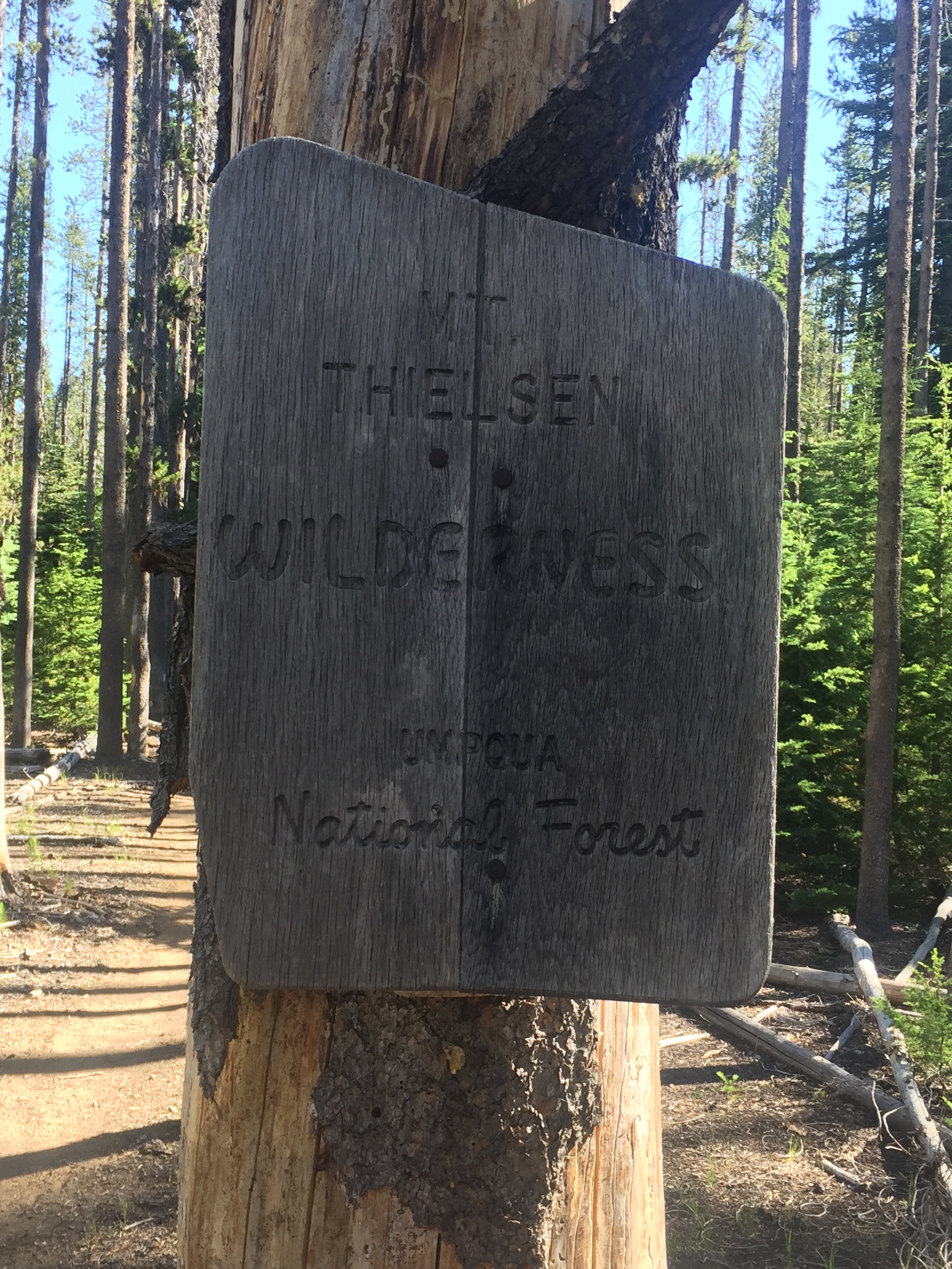
After a little more than a mile I pass into the Mount Thielsen Wilderness in the Umpqua National Forest.  The spell checker does not like either Thielsen or Umpqua but they are spelling correctly.

PCT 1845-1856 Entering Mount Thielsen Wilderness

Umpqua National Forest, in southern Oregon Cascade Range, covers an area of 983,129 acres. Ancestors of the Umpqua, Southern Molala, Yoncalla, and Cow Creek Band of Umpqua Tribe of Indians lived here before Mount Mazama erupted forming Crater Lake nearly 7,000 years ago. The Indians were moved to reservations in 1856. As Europeans bought reservation lands, the tribes further fragmented to become farmers and ranchers in the Umpqua Valley. Two translations of the word “umpqua” are “thundering waters” and “across the waters”. The Umpqua National Forest was created by the United States Congress on July 2, 1907 (Theodore Roosevelt). For more information see: https://en.wikipedia.org/wiki/Umpqua_National_Forest

The Mount Thielsen Wilderness is a wilderness area located on and around Mount Thielsen in the southern Cascade Range of Oregon in the United States. It is located within the Deschutes, Umpqua, and Fremont–Winema national forests. It was established by the United States Congress in 1984 (Ronald Reagan) and comprises 55,100 acres.   For more information see: https://en.wikipedia.org/wiki/Mount_Thielsen_Wilderness

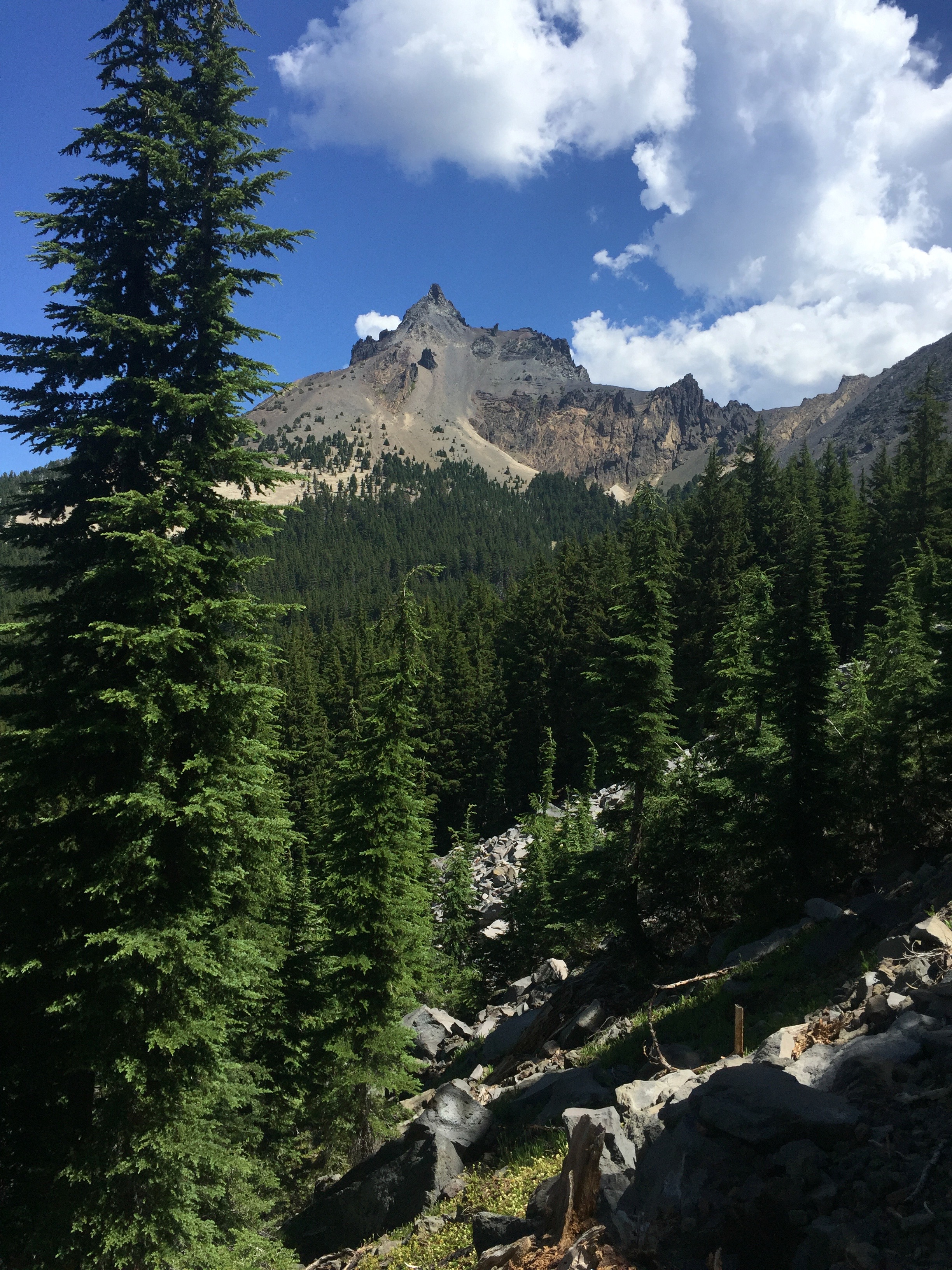
About noon I get a good view of Mount Thielsen.  Look at that!!  Lucky me.  Such beauty.

PCT 1845-1856 Mount Thielsen

3 more hours of hiking and I make it to Thielson Creek.  I stop here for awhile and load up on water and just look around.  The water is wonderfully cold and I use my lifestraw to suck water right out of the creek.

PCT 1845-1856 Thielsen Creek. Wonderful cold water

I walk on another two miles to a good camp site.  I want to get in at least 10 miles on the first day.  I am sore a bit but my feet are in good shape.  There is however an ominous sign.  I have no desire to eat.  Worse that no desire, the thought of eating what I have makes me nauseous.  I have two Carnation Instant Breakfasts which gives me some energy and set up camp.  While I am setting up I am surprised by another hiker who comes in and starts to set up camp as well.  He is German and in his 50’s.  He is a thru hiker and started on the Mexico border on April 4th.  He is making great time.  He said he weighted 190 at the start and nows weighs 140.   We do not talk much because he has had a long day and is tired and I am just terribly out of shape and am tired.  I did 10 miles, he did 25.

Iphone health app says I did 12 miles and 31310 steps.  Not bad for day 1 I think.  I thank God for giving me the ability to do this.

Lenora’s Story:

Day one of Week one 2018. Don is ready to start.

Just another day on the PCT.  We’ve been doing this a while and it feels so familiar.  The excitement, the anxiety about the late start, anticipation and dread.  The element of fear is always a part of the send-off.  I get the week 1 picture and we pray together.  The send off prayer is something I treasure.  Knowing I am calling on God to protect this precious human creates for me a sure confidence in the outcome.

The drive back to the hotel is beautiful and I spare a little twinge of regret that I am on the highway while Don is out in all this wonder.

While Don is not eating, something I’m glad I did not know at the start, I am very hungry.  All my anxiety channels into a desire for food and sleep.  Funny human nature.  He needs to eat and can’t and I don’t need extra but have it anyway.

I am so ready to spend a lot of time beading and stitching that I do not delay in getting to the first of my projects.  My many breaks are taken to stretch, to snack and to check Don’s progress.  It is looking good to me.


PCT – 2018 The journey continues AGAIN and AGAIN

This year will be the year I get my Canadian beer.  Starting on July 16th at Crater Lake in Oregon and ending in Canada on September 13th.  Thats the plan.

We got an early start heading up to Oregon from Escondido because we knew from last year we wanted to spend more time in Oregon at the Umpqua Valley wineries.   There is a mandatory visit to the “Chocolate Shoppe” in Gardnerville Nevada.

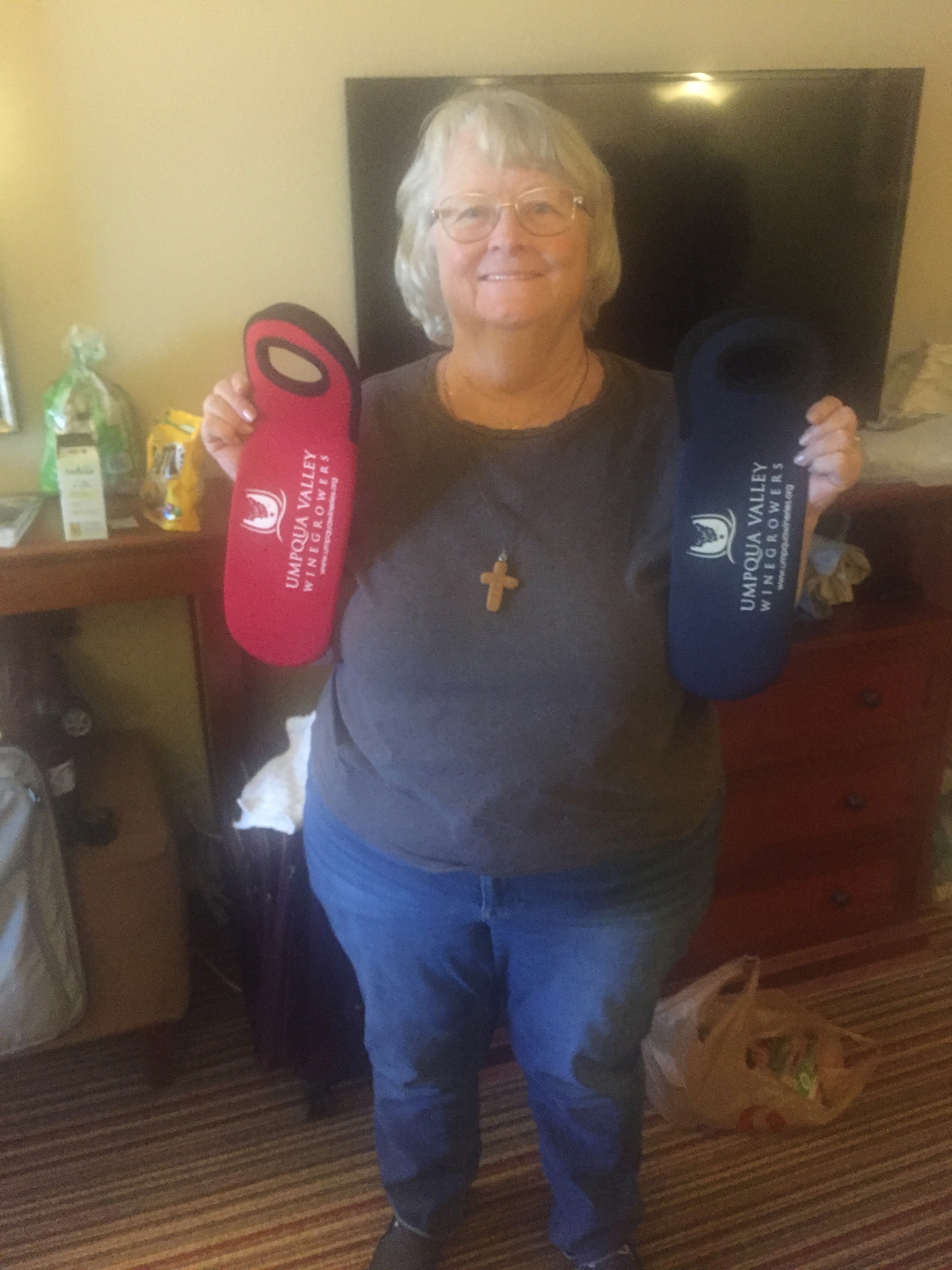
When you visit the Umpqua wineries you are given a sheet so that you can record the wineries you visited and after you have visited 5 wineries you get a gift.  Of course we needed to get the gift and after 5 we got our nice wine pouch.  That was on day 1.  So, on day 2 we did another 5 wineries and got another pouch.  Of course we probably bought about $200 in wine in the silly quest for another pouch.

Umpqua Valley Winery pouches

After that we made it to our destination of Redmond Oregon.  After church on Sunday we went for a ride to find the place where Lenora was going to pick me up after the first week just so she would know where it was.  It is an easy pickup spot right on major road Hwy 58.

I’m nervous about starting the journey but my pack is all loaded and ready to go.  Did have a change of starting location.  Based on where we are in Redmond it is a 3 hour drive (at least) to get to where I was planning on start on the lower end of Crater Lake by Hwy 62.  However only 1.5 hour ride to rather start at upper end of Crater Lake by Hwy 138.  Since the hike from 62 to 138  is 26 miles and basically waterless, I felt that starting from 138 would be prudent.  Don’t have to get up so early to get started, which is only worrisome for the drive back, and don’t have to start the trail on a very long waterless stretch.

July 5 – PCT 1771-1787 in reverse

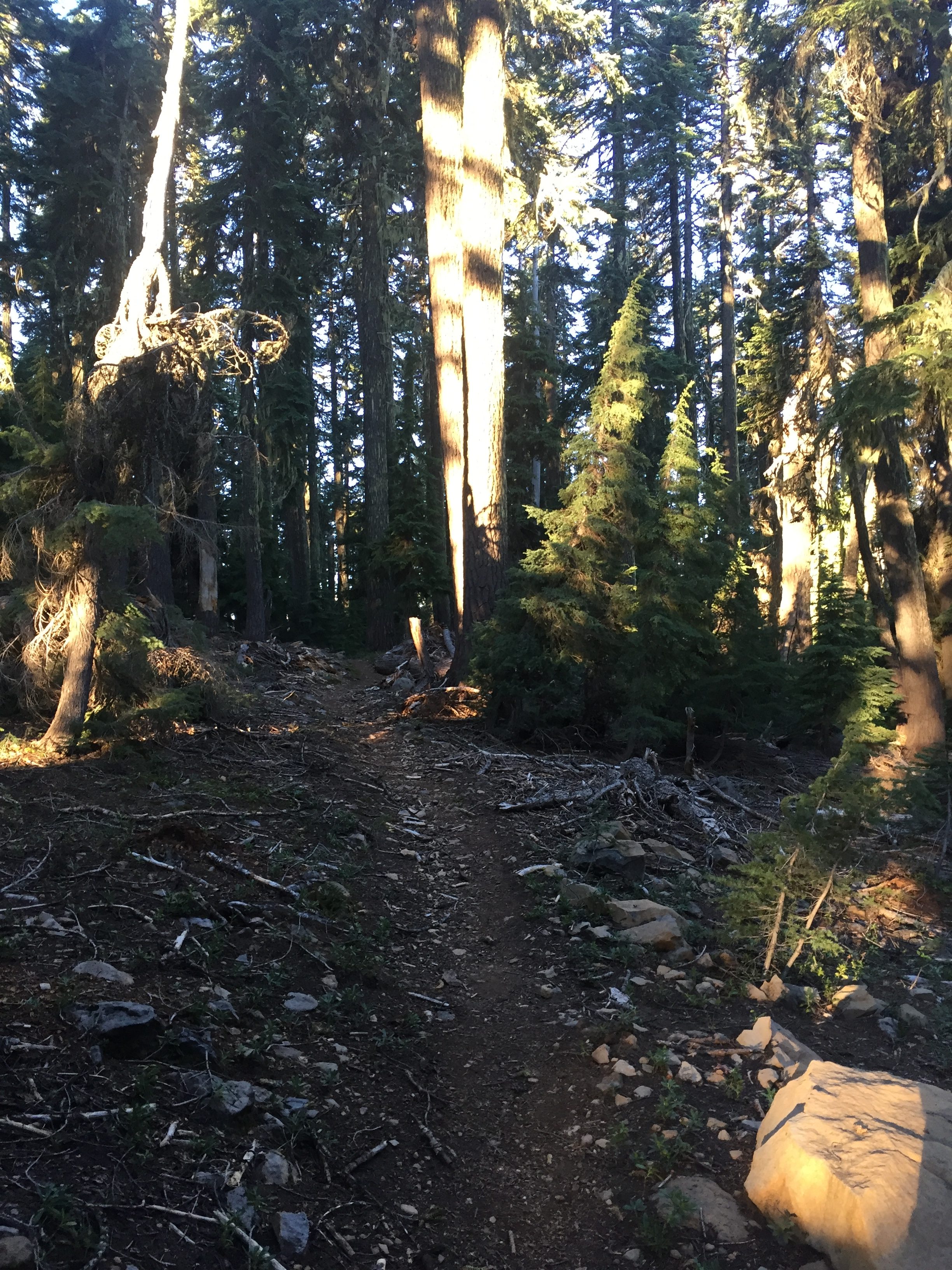
Typical start to my hiking day.  Generally wake around 4.  Think about life and God for awhile and start really moving around 5.  Get everything packed and breakfast done and start hiking about 6.  I am going to do the same 16 miles I did just two days ago and I don’t expect to see much different.  But I do see different and amazing things and remember to take some pictures.   So here we have some early morning sun on the trail at 6:25

PCT 1771-1787 Early morning sun in the forest

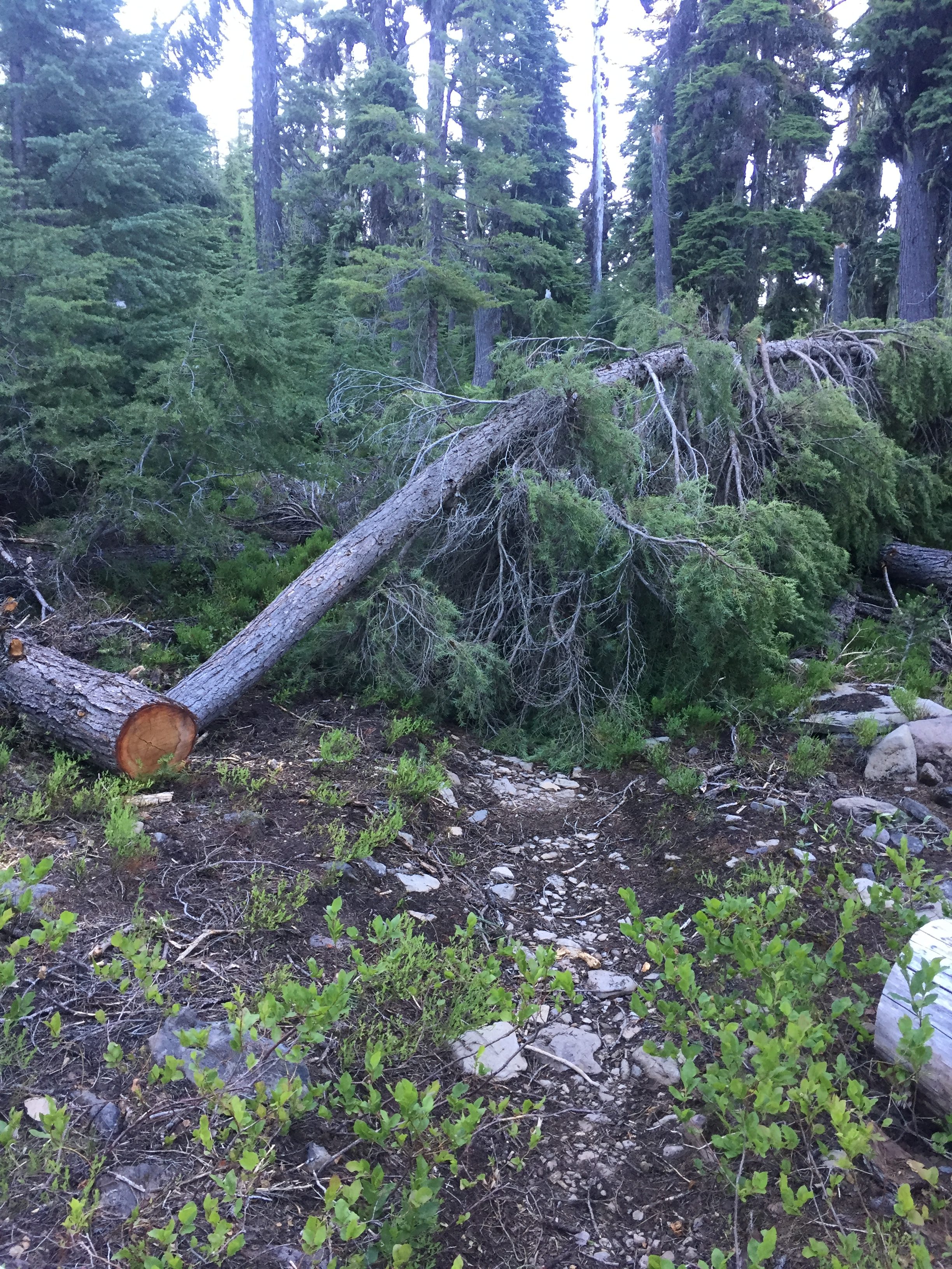
A little later at 6:45 I decide to take a picture of a little more of the damage on the trail.

PCT 1771-1787 Somewhere on the other side the trail continues

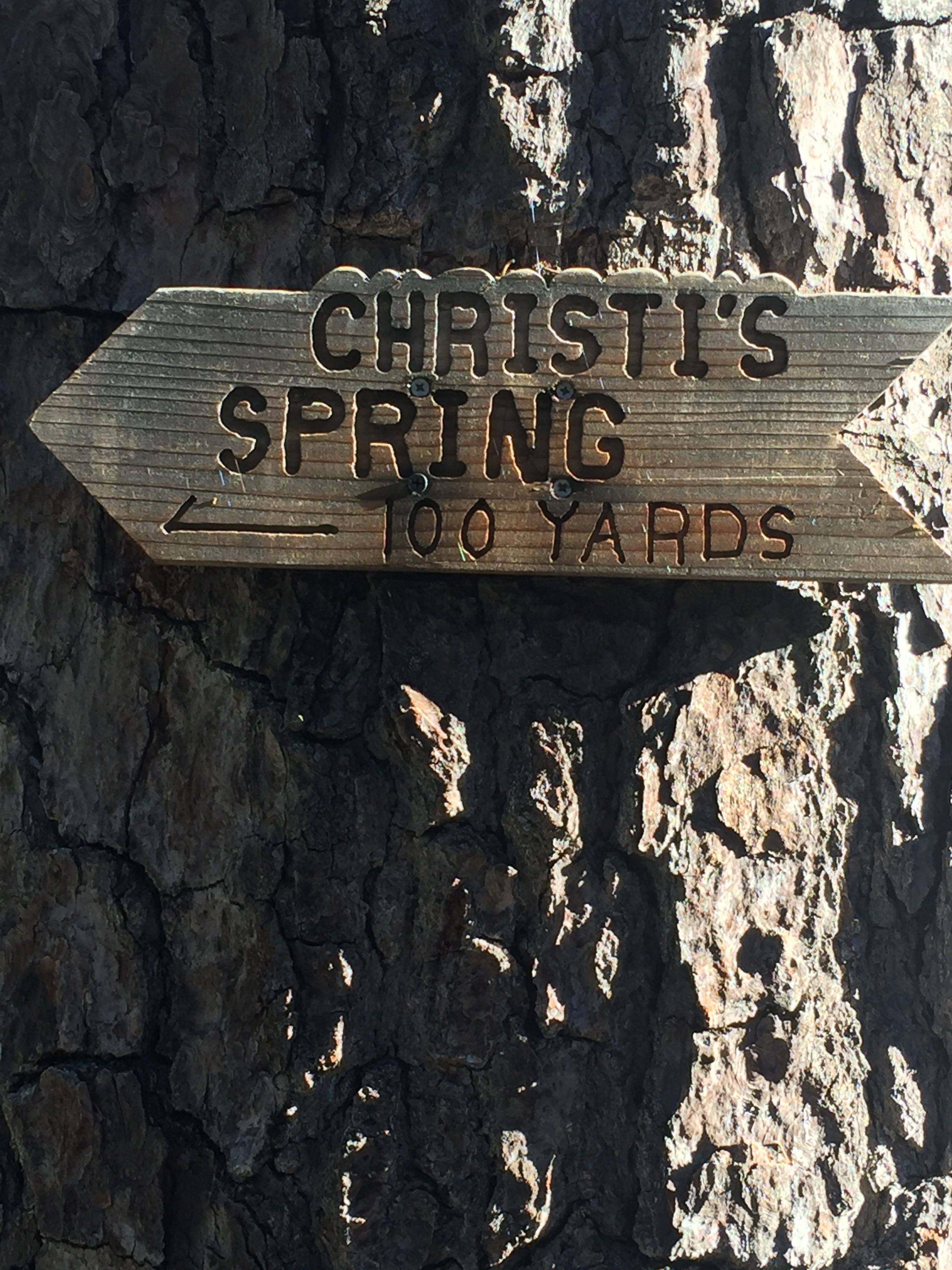
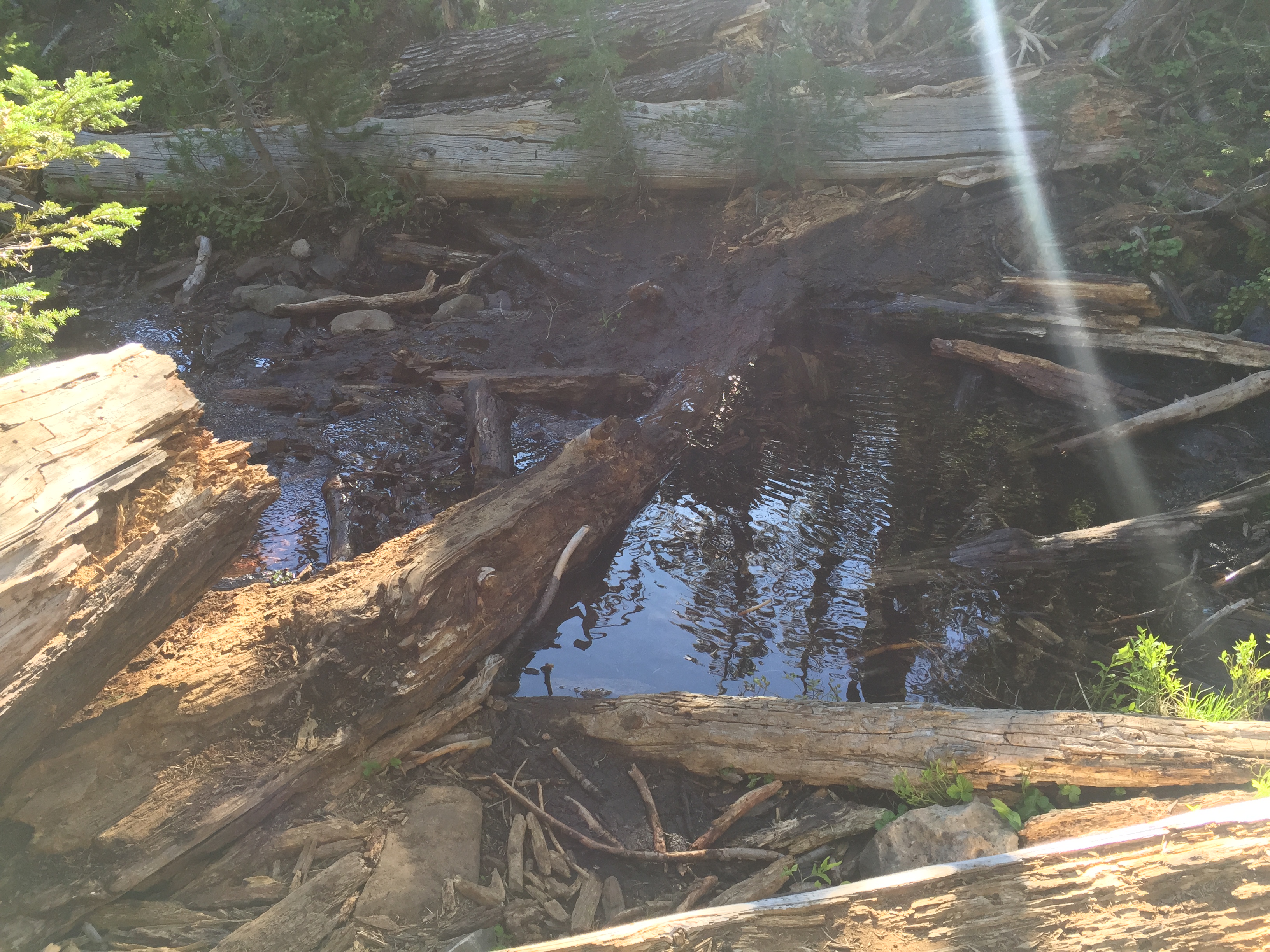
Remember two days ago I got water at a spring and there was no more water for 14 miles.  Well I never did those 14 miles but there was plenty of snow.  So before stopping the night before, I stopped at a nice snow pile and melted enough snow for 4 liters for water.  It is about 8  when I hit Christi’s Spring on the way back it was time to get some more.   Here is Christi’s Spring which I did not take pictures of the first time.

PCT 1771-1787 I missed this sign at first. Went by and came back.
PCT 1771-1787 Christi’s Spring. Wonderfully cold water

A little over an hour later I notice a peak I did not notice on the way out.  It is Lost Peak.  I tried to research how it got its name but could not find any information.  Since I assume the peak itself was not lost it must have something to do with those that hike around it.  Anyway it was very pretty and snow covered.

PCT 1771-1787 Lost Peak in the distance.

About 9:35 I come to one of those damaged PCT places.  This tree is too big for me to go across and two wild on either side to see away around and so I try to make friends with the tree and just go under it.

PCT 1771-1787 This was a tree in my way. Hugging it did not make me feel any better

Only 10 minutes from here I got a view of Fourmile Lake that I had totally missed on the way out.  Magnificent.

PCT 1771-1787 Fourmile Lake. Fourmile Lake, so named because it was erroneously assumed to be four miles long, is a large natural lake scenically located at the foot of Mt. McLoughlin near the divide between the Klamath River and Rogue River Basins. At 5744 feet above sealevel it is one of the highest lakes in Oregon.


At 1:23 I am getting pretty close to being back where I started two days ago and have this view of Brown Mountain and I shudder thinking about the lava fields.

PCT 1771-1787 Evil Brown Mountain in the distance

I get back to Hwy 140 and my pickup point a LOT earlier than I expected and a LOT earlier than Lenora expected.  She had watched my progress for awhile and was sure I would be much later if I made it at all.  The last 5 miles of the trail is easy and I made good time.  If you remember there is a stream right here and I was able to stop about 1/4 mile before the Hwy and clean up a bit in the very cold water and put on my sleeping shirt which, while not fresh, was considerably better than my hiking shirt.   When I got down to the Hwy there were trail angels set up.  They had pulled pork sandwiches with all the trimmings, drinks of all types (soda’s, water, beer, cranberry juice, mimosa’s).  All the drinks they were keeping cold in the stream.   Fruit, candy and something they called candied bacon which was very tasty.   In talking with them for awhile I learned it was 100 down in the valley and they frequently came up to relax in the shade and to help the hikers that are coming off the lava fields.  She told me that she knew hikers that had taken all day to cross those lava fields and others that came off the lava fields and just quit.  I then told her about my experience and she said that I was not unique at all.  Wait…. what…. I AM TOO!!  I told her that if I was not unique, that at least I was special.  Anyway we had a good time talking for about an hour.  Lenora arrived and met them and thanked them for taking care of me.  Another good day.   So, we are heading up to Eugene and then I am going to try and hike south from that point towards Crater Lake.  The snow reports for the Three Sisters Wilderness is not good and indicate that some of the heaviest snow in Oregon this winter occurred here.  BUT…. I will give it a go and see what happens.

Lenora’s Story:

I’ve been having increasing problems with swelling in both hands and so last weekend we get my anti-inflammatory medicine refilled and I go back up to the prescribed dose.  After a week I do not see any improvement but decide I need to give it more time.

Yes Don arrives sooner than I expected.  It is a 45 to 60 minute drive to the pick up point and at about 2 pm I check the computer and think he has about 5 hours to go based on the time it took him to travel that distance two days ago.  I have a pretty bad headache and so lie down to try to sleep.  In about an hour something wakes me and I check the computer to find there is a message saying “I am here”.  Remember my gratitude to the Inreach gadget yesterday?  Well one drawback can be that if I lost the internet it can take a long time to update Don’s location on the computer and today I was seeing a report from earlier in the day thinking it was updated.  When I see the note I grab the phone, check the map and head out.

Don is not the only member of this team that gets lost, or turned around or just plain confused.  I get off I-5 at the expected exit and somehow manage to get back on I-5 rather than onto the road that takes me up the mountain to where he is waiting.  By the time I notice I am still on the 5 it is a ways to the next exit and so the phone and I start to figure out an alternative route.  That found I set off again, only about 15 miles further from Don than when I left the hotel.  I finally get there very happy to find the trail angels who have helped him get hydrated while he waited.  Once again a good reunion.  When he asks me how I celebrated the 4th I can only offer that I smelled some burned odor of people setting off fireworks.  That was my 4th.  It is now the 5th and Don is back safe and I am a happy camper once again.

July 4 – PCT 1787-1794 then back to 1787

I wake up in the morning with my forehead and legs remarkably calm.   So ignoring the beast is probably the best plan.   I get all packed back up and have a double carnation instant breakfast.  I find the carnation instant breakfast seems to give me a lot of energy and also gives me a good dose of water to start the day.

I start the day about 6 and at 6:27 I’m starting to see some signs of snow.  Certainly nothing to cause any concern but at this point I am only at 6100 feet.

PCT 1787-1794 Not sure why I took. Snow perhaps? Tree overhanging trail perhaps? Just thought pretty perhaps?

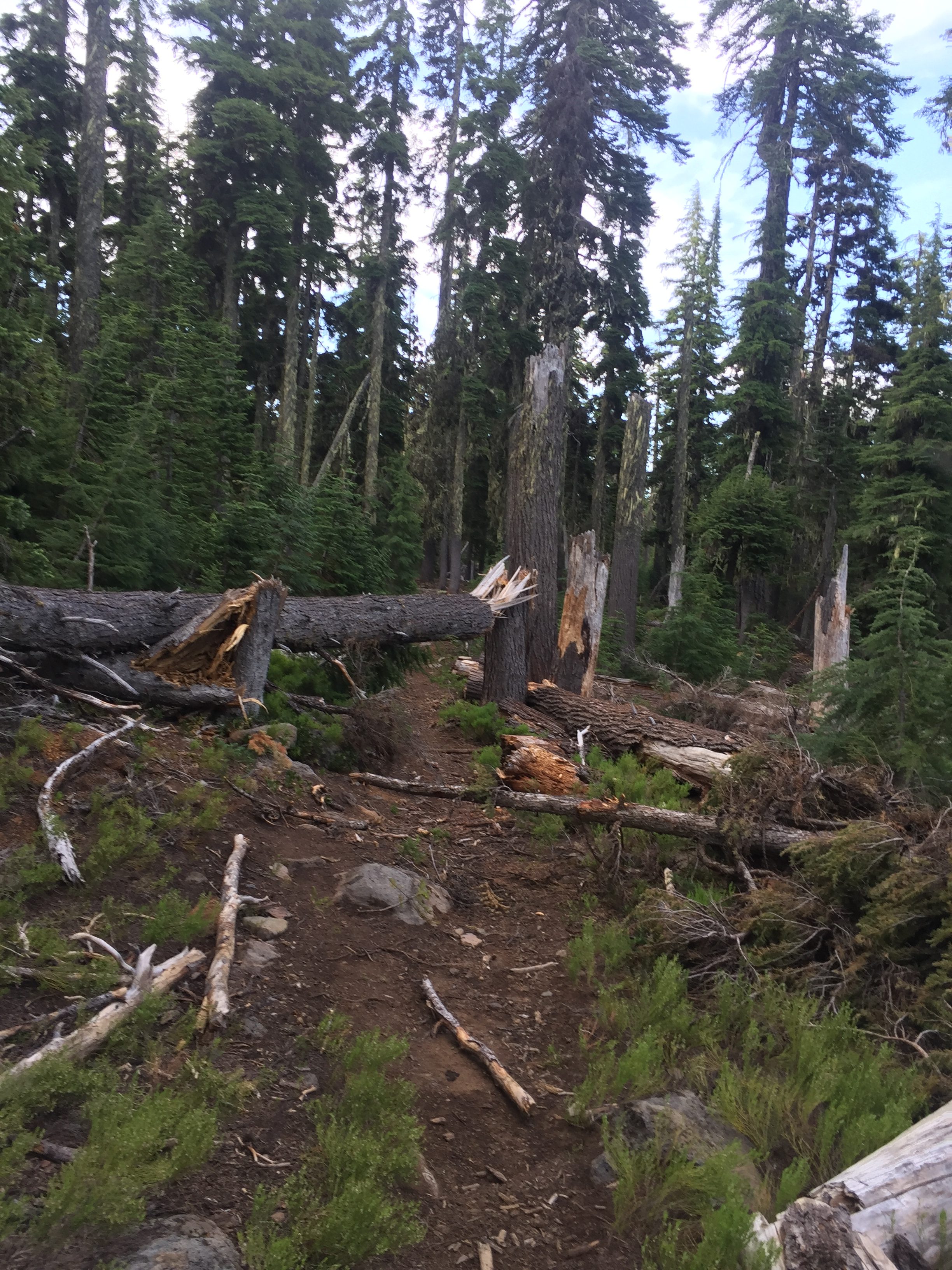
The blow down on the trail is getting worse.  Again it just slows you down as it forces you to find ways around.   Just tend to get scratched up a bit trying to find alternate paths through the trees.  The PCT site that gives Oregon trail conditions has this to say:  “Snow, debris and blowdown in mid- and high-elevation forests is still impairing navigation and keeping local SAR teams busy fetching lost hikers.”   At one point I did get a little misdirected when trying to go around debris.  Turns out the trail did a right turn just the other side of the debris and so when I went around and came back to where I figured the trail had to be, there was no trail!   Did not take long to figure out however.    At about 6:40 I do get confirmation that all is right with the world.  A sign!!

PCT 1787-1794 Nice sign to let me know I’m on the right trail. Mileage is no longer accurate.

At 6:49 I decide to take a picture of the type of damage that is on the trail.  This damage is actually mild and easy to get around as you can see a clear path to the right.  Others, not so much.

PCT 1787-1794 Wee bit of damage on the trail

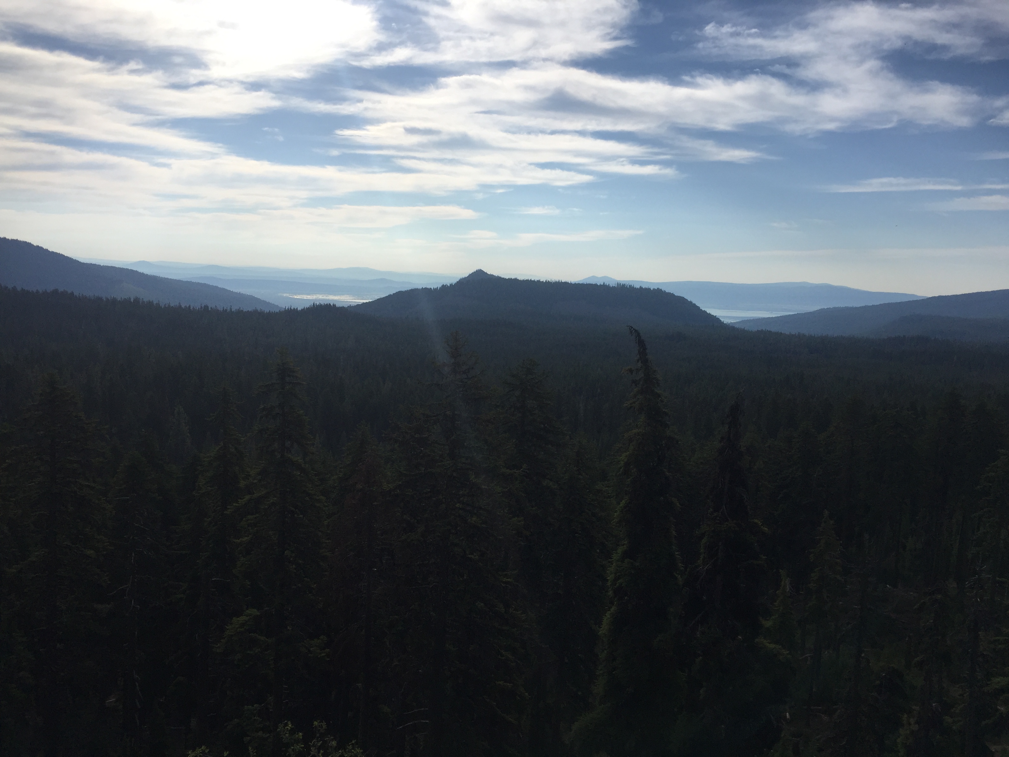
About an hour later I take a picture of the view with but the picture does not capture the beauty

PCT 1787-1794 Nice view

At 9:23 the trail goes along a rocky ledge on the side of the mountain.  At this point I meet up with the 5 hikers from the day before and they are resting.  Not much room but just enough to rest. I decide to rest as well for two reasons.  On this ledge there are no mosquitoes and in order to pass them they would have to get up.  It is a nice rest.

PCT 1787-1794 Just Pretty

Not too far ahead the trail makes another one of those tight turns, this time to the left.  However there is another trail, a more obvious trail, that goes straight forward.  It is not until I start descending into the Snow Lake Basin that I realize something ain’t right here.  I am on the Divide Trail and not the PCT.  Pull out my app and sure enough I am 1/2 mile off of the trail.  I know exactly where I went wrong so I backtrack and take the left and I am back on the trail.

PCT 1787-1794 Little glimpse into Snow Lakes Basin


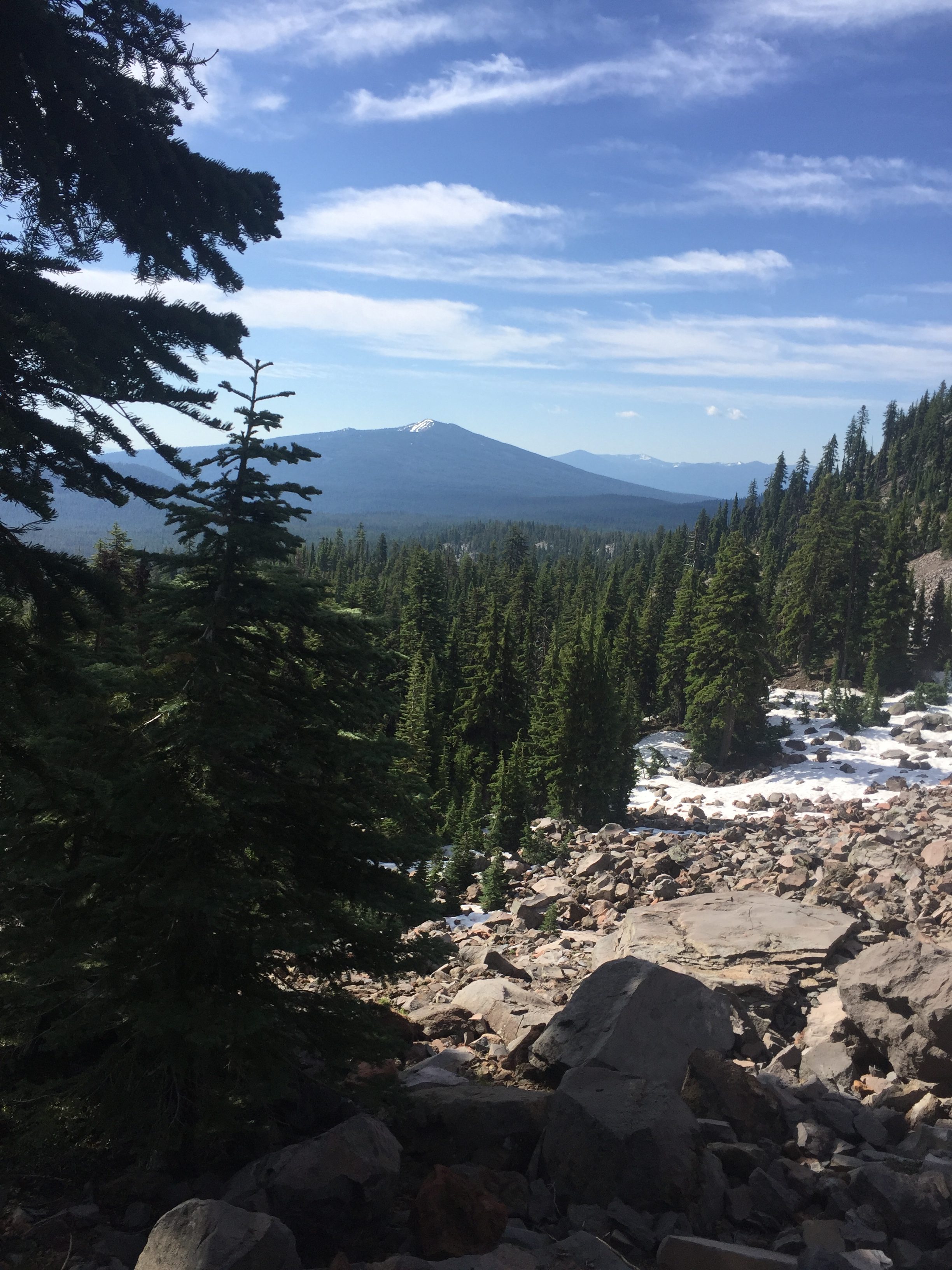
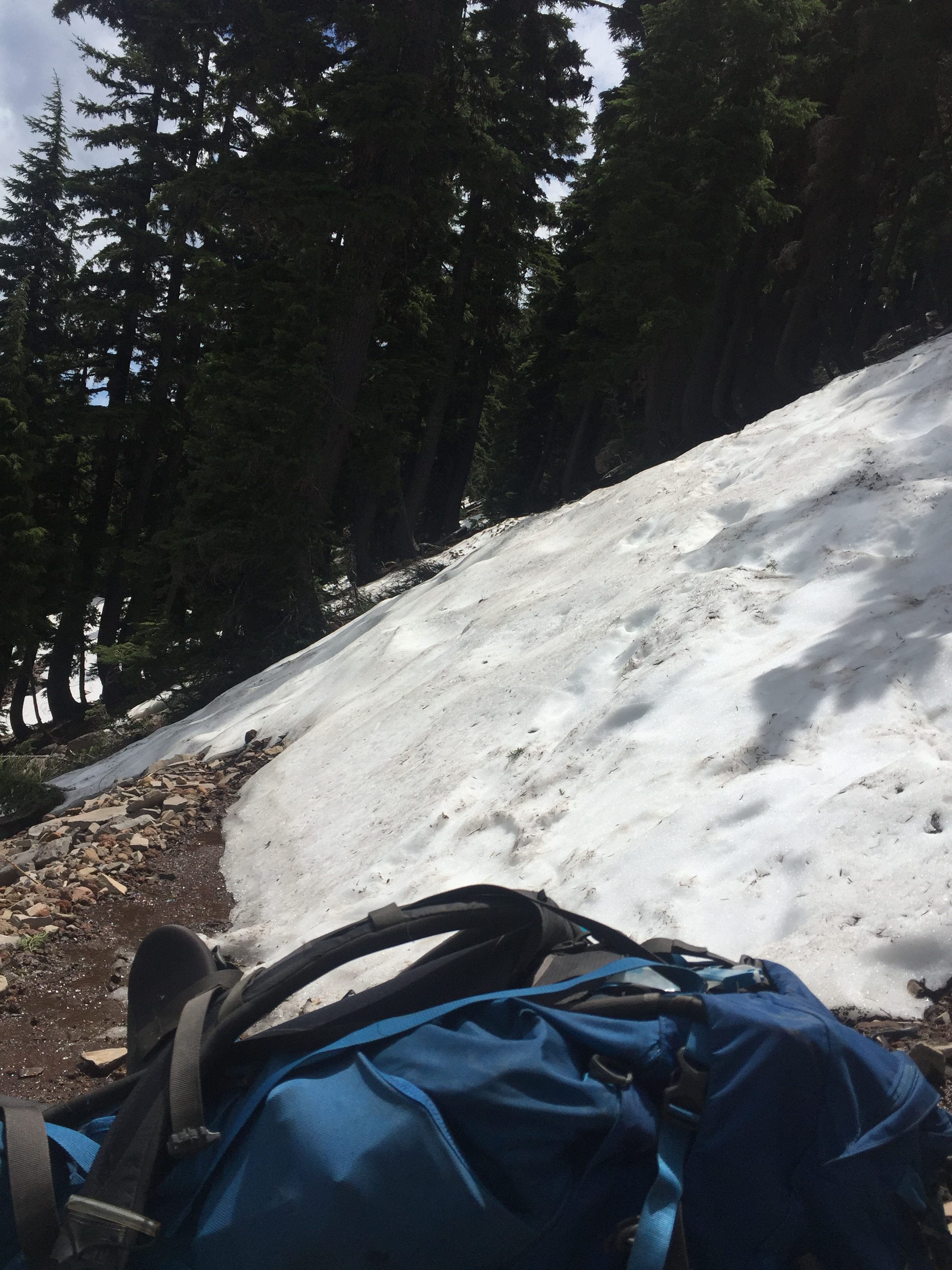
Not long after that I am on another trail cut out of the side of the mountain and there is snow that gives me pause.

PCT 1787-1794 Just trying to show how steep the snow crossings were. Very pretty however and I did not realize how cloudy it was till now
PCT 1787-1794 Stopped to put on micro spikes to cross this. Even with spikes this crossing and 3 others up ahead where down right scary

I go on a mile or so more and run into more snow.  All I can see ahead of me is snow and I’m only at about 6600 feet.   About this point another hiker catches up to me and tells me how he has heard there is treacherous snow ahead but he is going to try to get to a trail where he can descend to a farm road which will take him to Crater Lake Hwy… HE HOPES.  Anyway, I decide, out of an abundance of caution that I will just turn around and head back to where I started.  As far as I know, I am the only one of the 8 or so hikers up there that decided to turn around.  So I turn around and head back to where I started the day and set up camp.  Within 500 feet of where I had camped the night before which was taken by others by the time I got back.  Seems like an easy day but between the snow crossings and all the diversions to get around debris, I was as very tired.  I told Lenora I hoped to get back to where we started by the end of the next day but was not sure I could do 16 miles and it might take me two.  Either is fine she says and she will watch my progress tomorrow to see if she should pick me up.  Time to eat and sleep.  Sad that I am backtracking but still happy to be on the trail and enjoying all its beauty.  Somewhere along the line in going through brush I have lost both my mosquito screen and my PCT bandana.  Must not have attached them securely enough.   Its always something.

Lenora’s Story:

I am determined to have both the side of the house and Chocolate ready for the finisher by the time Don returns so I spend much of his time away indoors and working on the needlepoint.  I do complete the da** stitches on both and go through my bin to decide what to work on next.  Knowing that Don is on his way back to the drop off point I am taking things easy.  Not sure when he will arrive but sometime tomorrow afternoon on the next day.  As usual it is hard to predict how things will go and I’m grateful for the Inreach device that keeps me posted on his progress.  I even get to watch him get lost or go the wrong way or backtrack miles.

July 3 – PCT 1771-1787

The plan for the next 3 days is to travel from Fish Lake at Hwy 140 up to Crater Lake area at Hwy 62.  Should take 3 days but at the start I know I might not make it that far because of snow.  About half way into this plan is “Devils Peak” which is at 7200 feet.  There is a bypass for the peak itself which is really a bypass of the north face of the peak which is steep and definitely snow covered.  However the bypass itself is near 7200 feet.  At the starting point is a nice little tree covered turnout and when we get there there is one PCT camper and a group of people being trail angels and offering breakfast to the hikers.  I had just had a great breakfast at the hotel and declined but it is so incredible that people do these things.  At this point there is also a fairly fast stream passing through and I’m thinking the trail goes right through the stream.  I’m looking at it and trying to find the best approach to cross and Lenora is ready to take a video of me when the angels tell me that the trail actually goes along the stream and just upstream is a bridge to cross it.   So I was about ready to get lost right off the bat.  So sad..

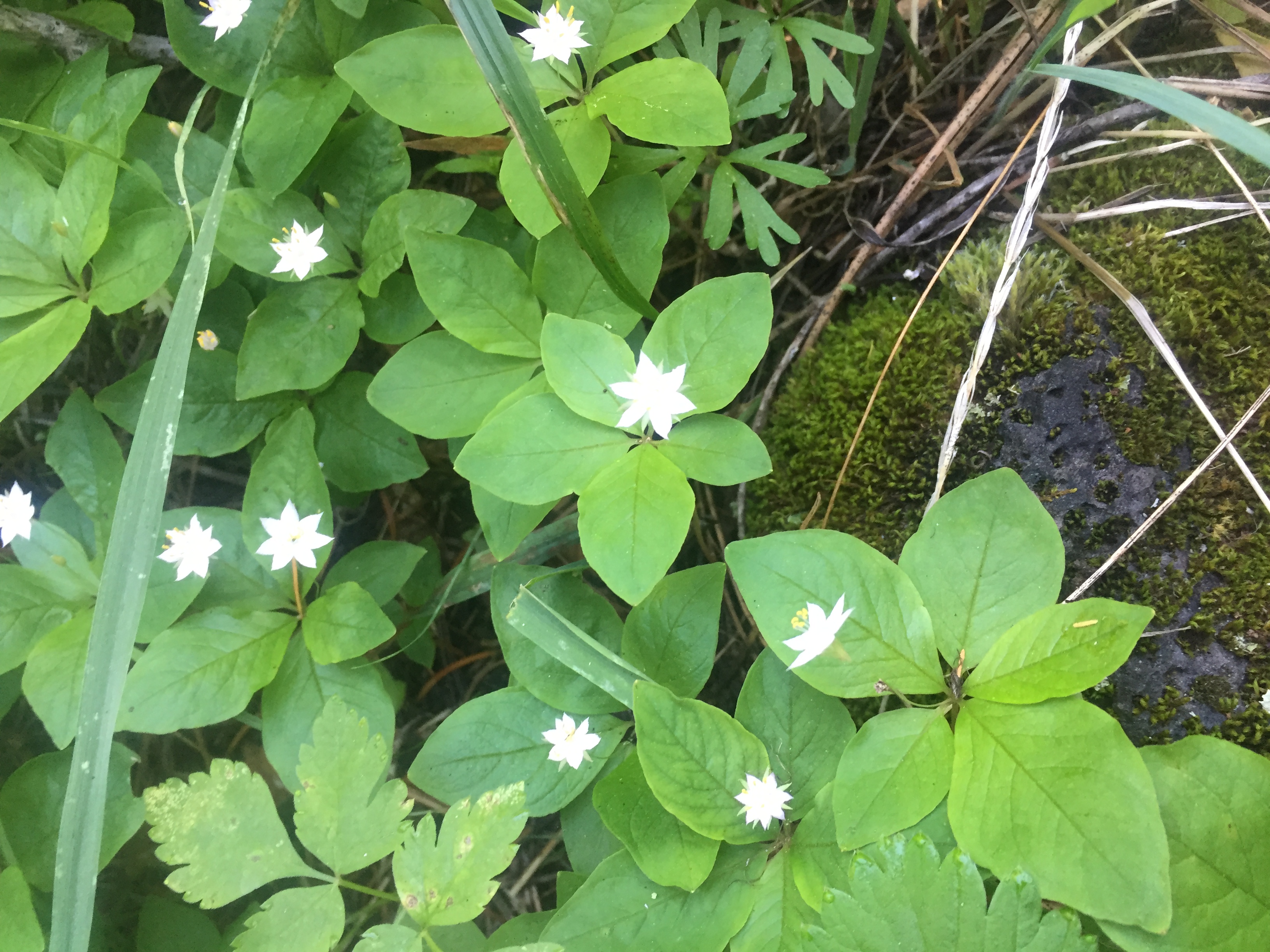
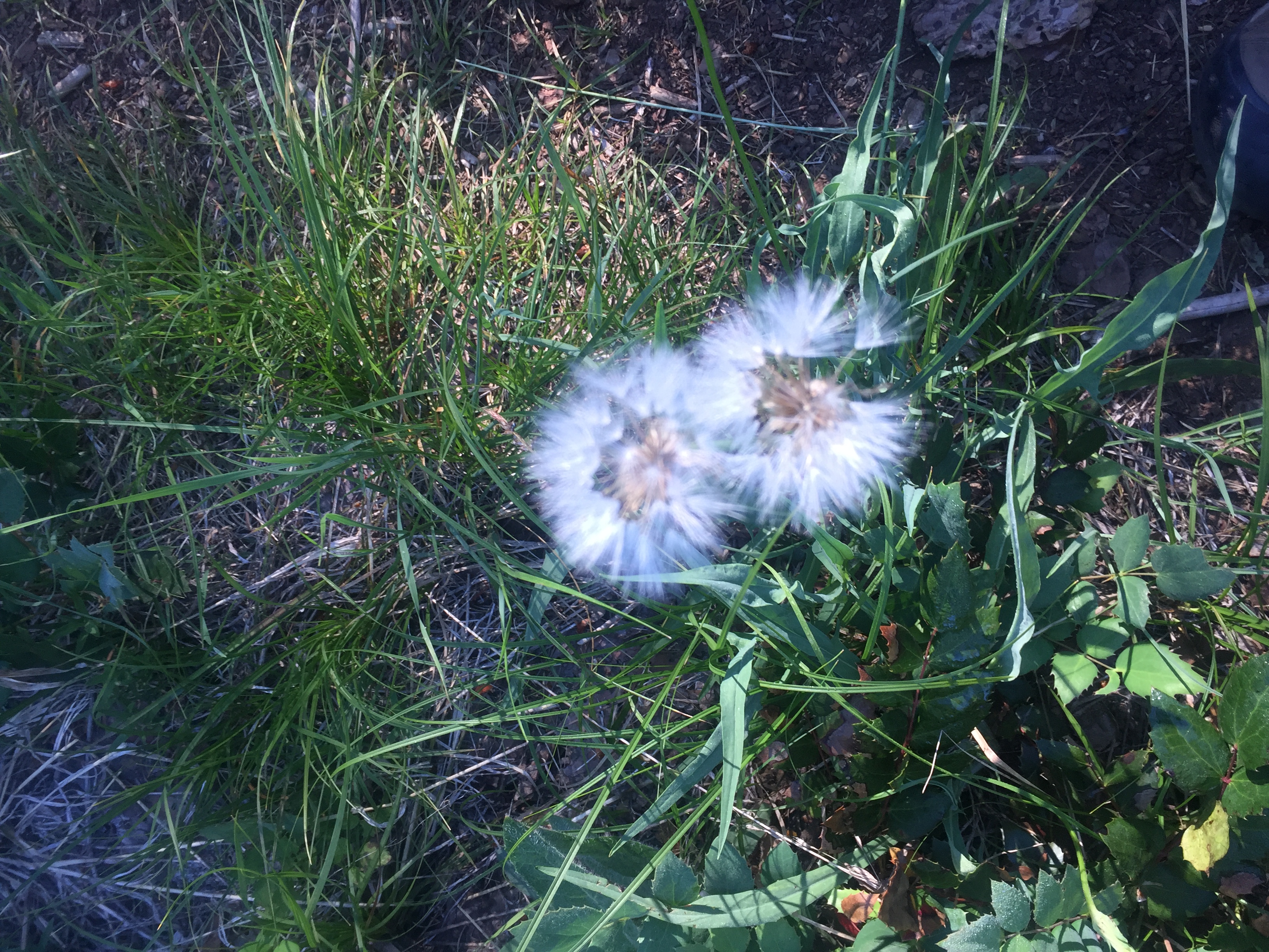
As I start out there are a lot of wildflowers and it takes me a bit of time to really get started as I am taking pictures along the way.  Here are some of those

PCT 1771-1787 Pacific Starflower (Trientalis Latifolia)
PCT 1771-1787 Dandelion
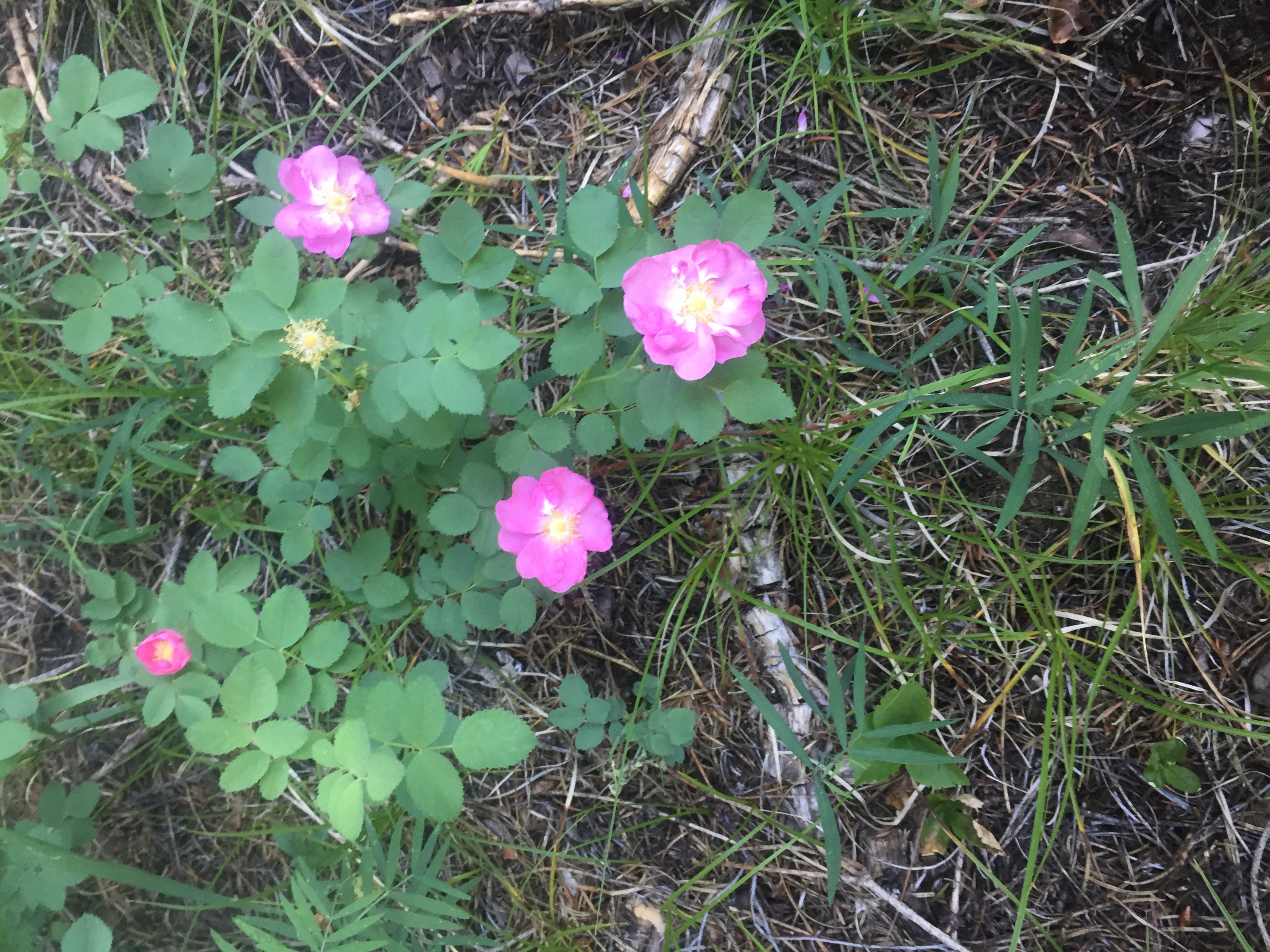
PCT 1771-1787 Rose
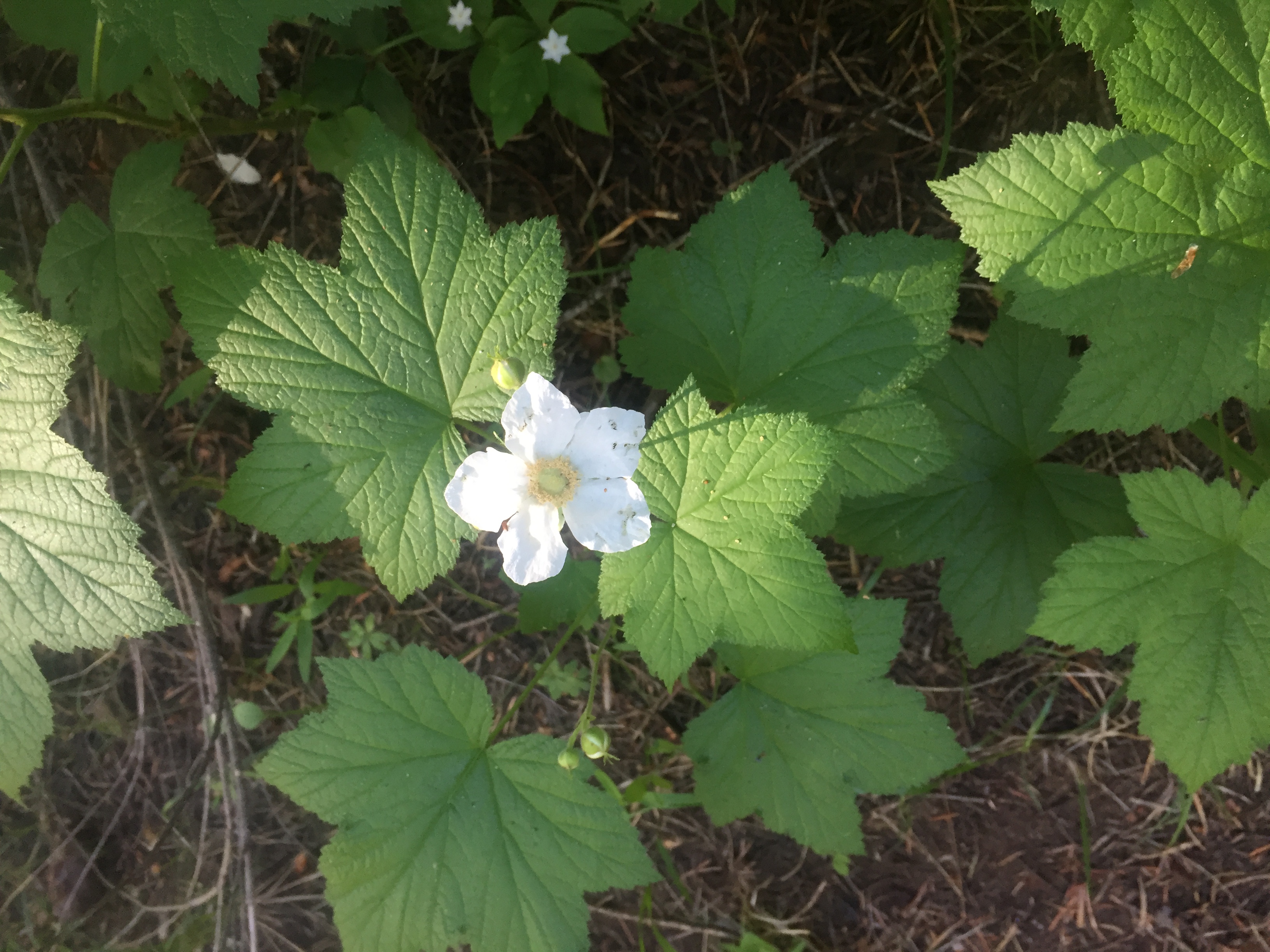
PCT 1771-1787 Roseleaf Raspberry
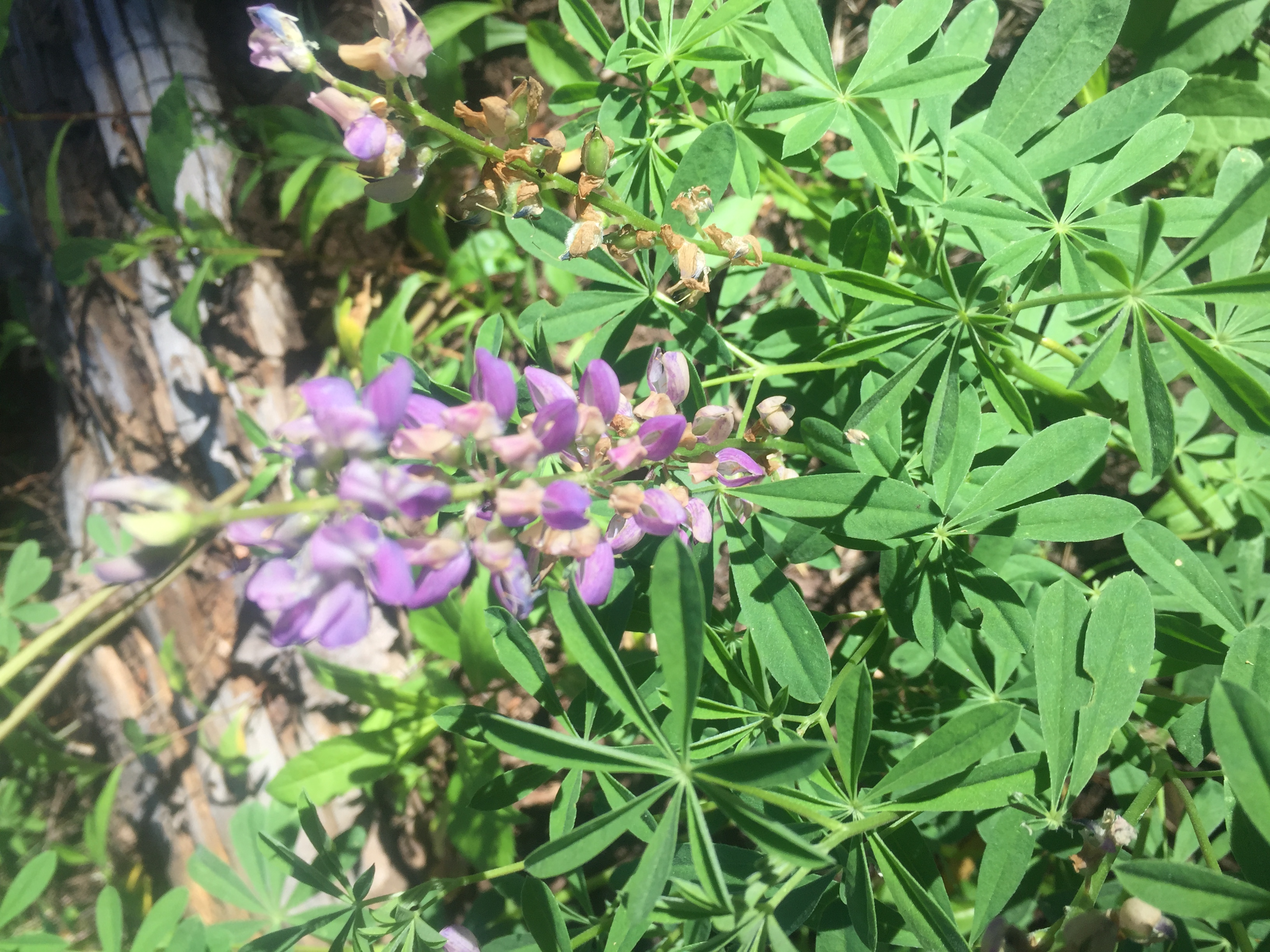
PCT 1771-1787 Why does the camera focus on leaves rather than flowers. Very annoying
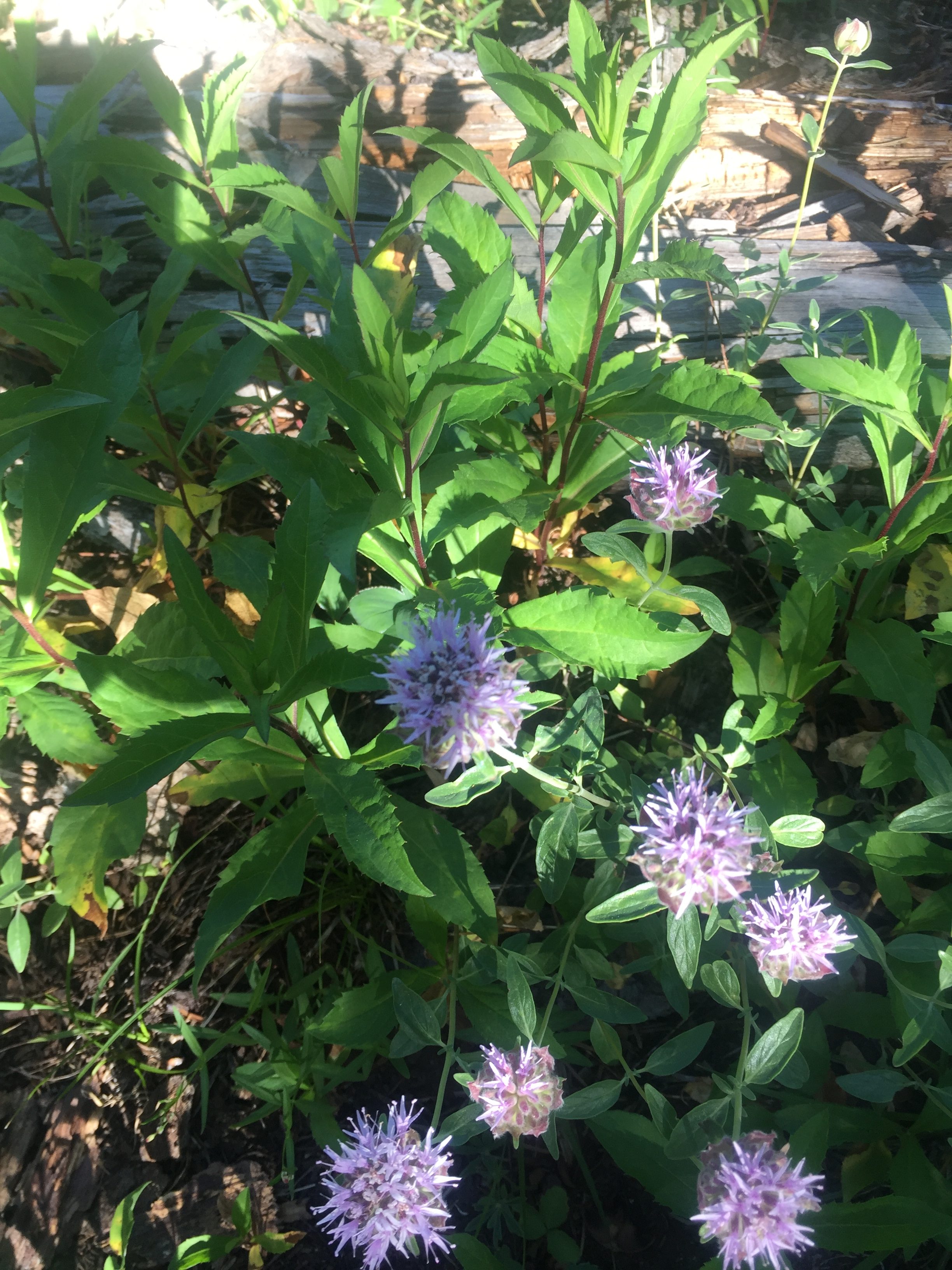
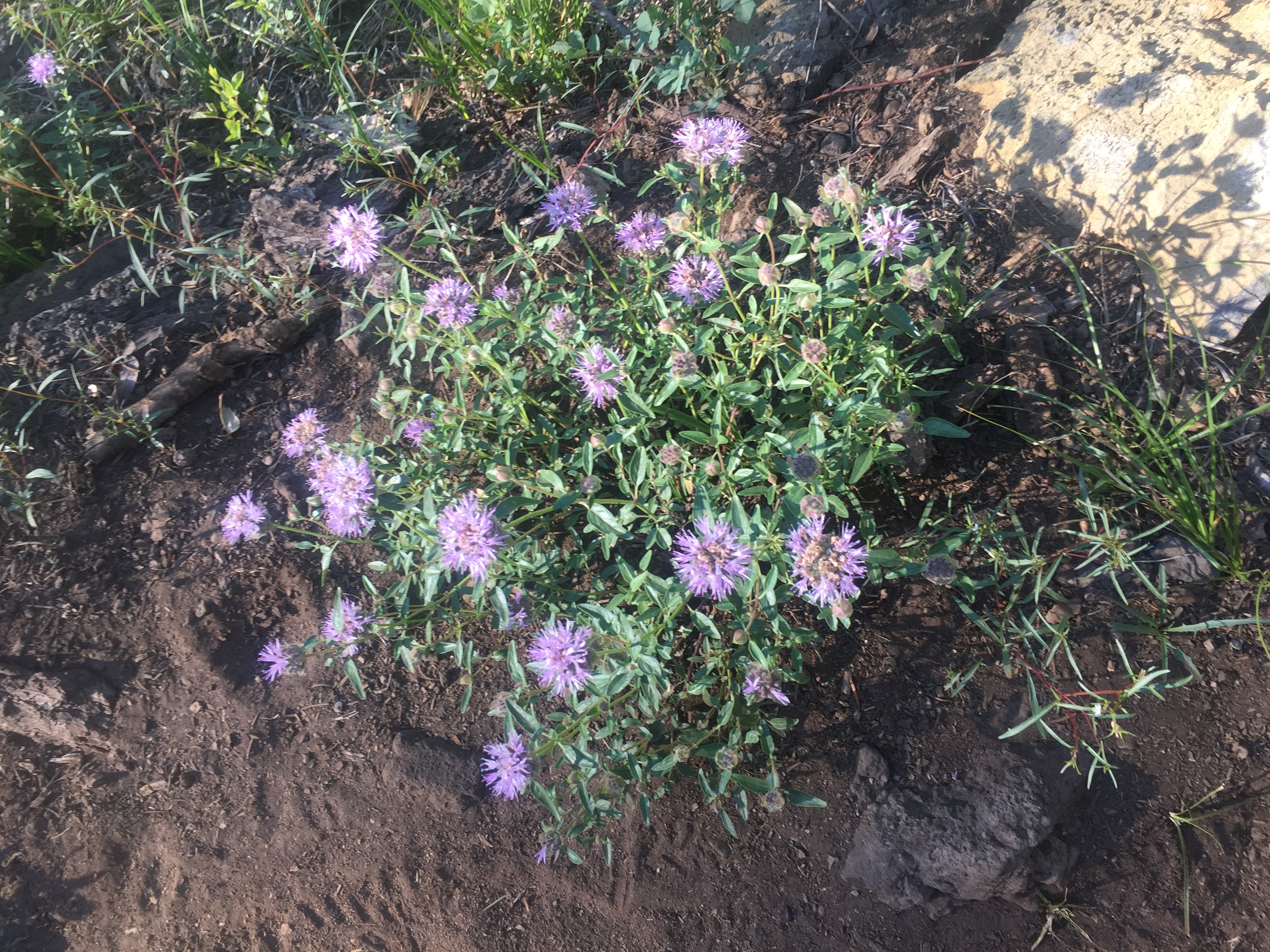
PCT 1771-1787 Pincushions (Scabiosa)

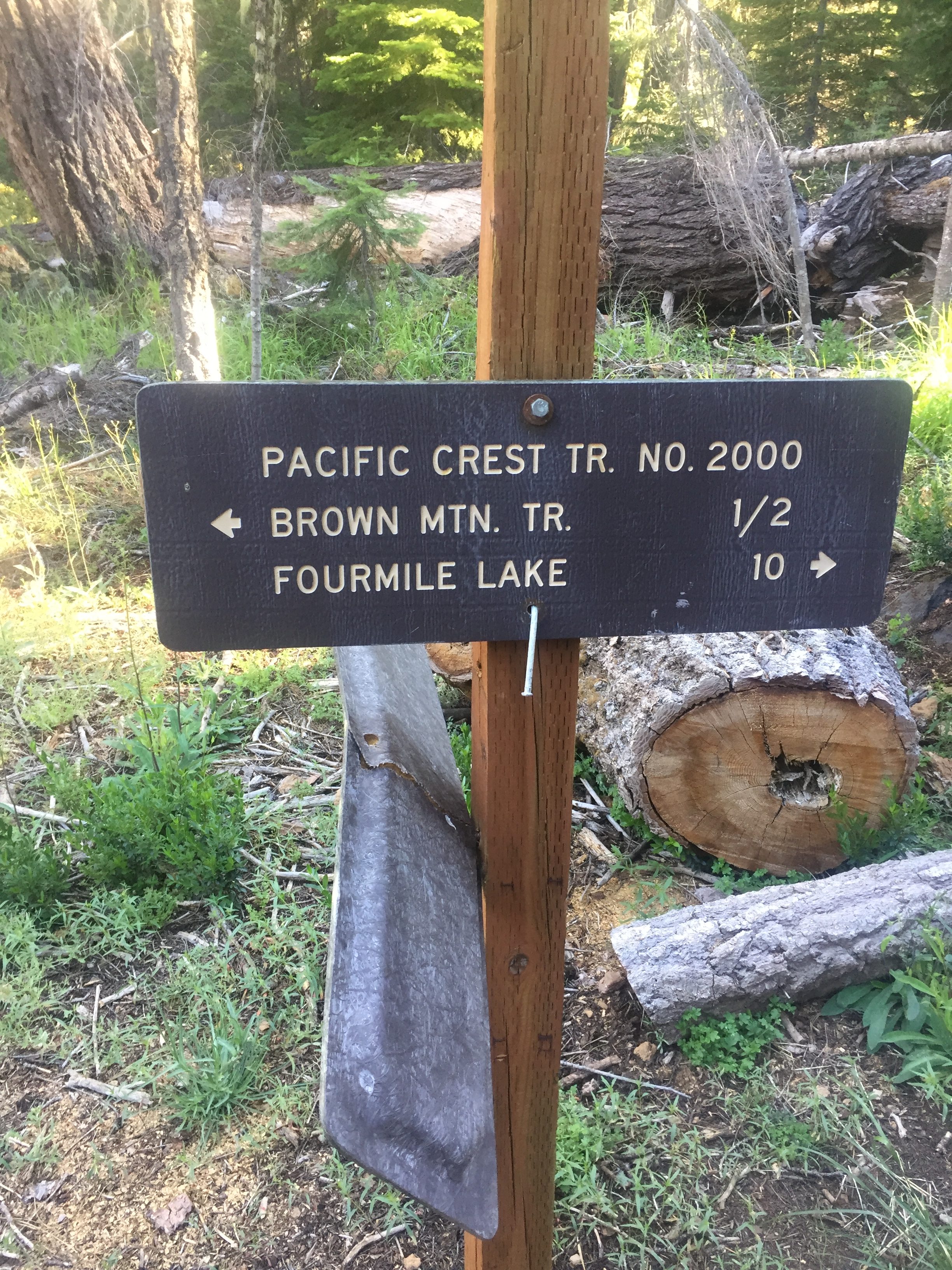
Given the fact I almost got lost on step 1, it is comforting to find some signs indicating I am in fact on the trail

PCT 1771-1787 Not sure why anyone would want to know the way to Brown Mountain

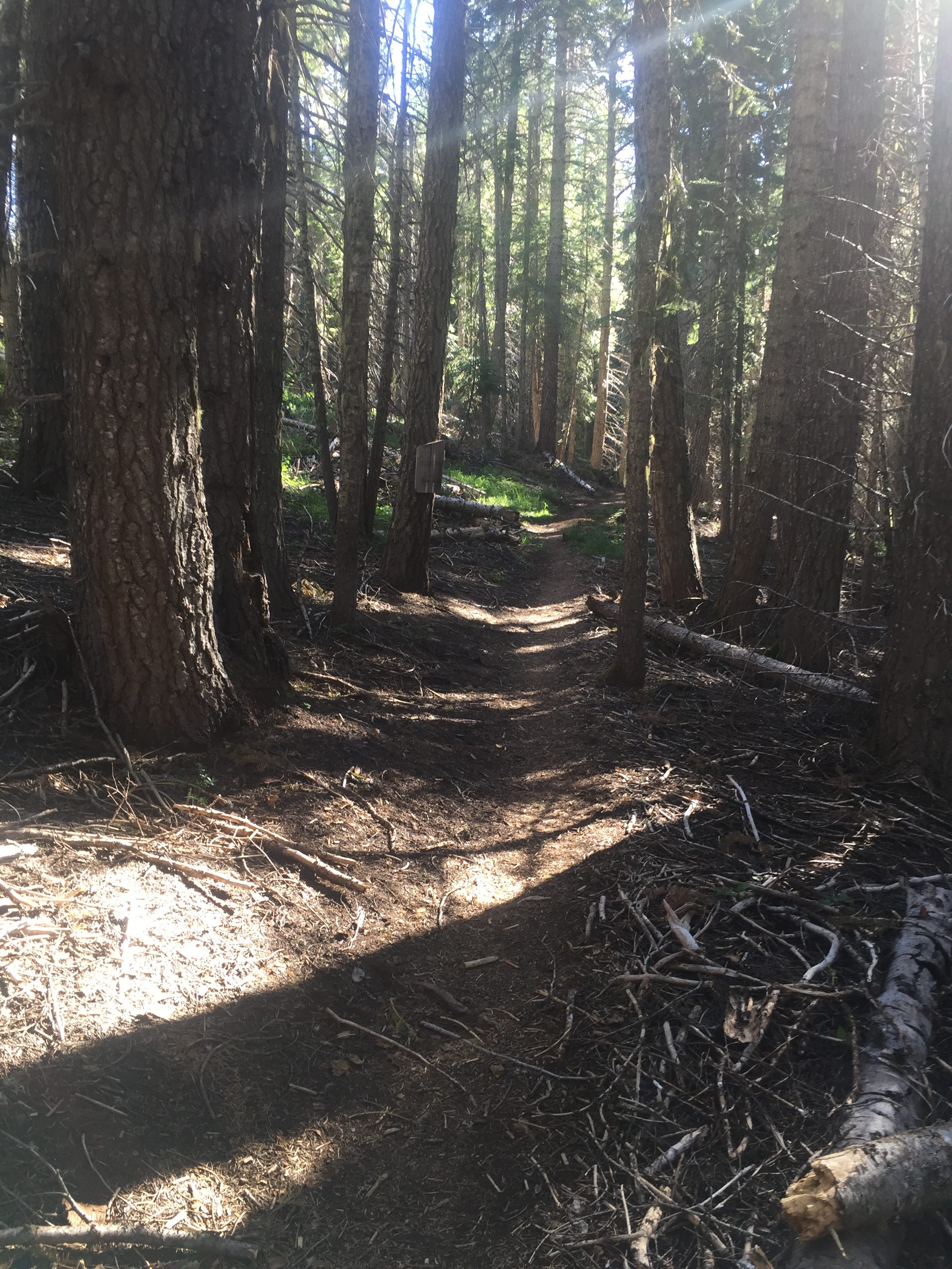
The trail is very gentle at this point.  Soft forest trail with very little slope.  Here is a shot at 8:45 in the morning of the trail ahead.

PCT 1771-1787 Lovely section of PCT

Also about this point I enter into the Sky Lakes Wilderness.  Here is some into about it.

PCT 1771-1787 Oregon could use some new signs

The Sky Lakes Wilderness is a wilderness area located in the Rogue River–Siskiyou and Fremont–Winema national forests in the southern Cascade Range of Oregon in the United States. It comprises 116,300 acres (47,100 ha), of which 75,695 acres (30,633 ha) are in the Rogue River–Siskiyou National Forest and 40,605 acres (16,432 ha) are in the Fremont–Winema National Forest.[1] It was established in 1984 under the Wilderness Act of 1964.

The Sky Lakes Wilderness straddles southern Oregon’s Cascade Range from Crater Lake National Park southward to Oregon Route 140. It is approximately 6 miles (9.7 km) wide and 27 miles (43 km) long, with elevations ranging from 3,800 feet (1,200 m) in the canyon of the Middle Fork of the Rogue River to 9,495 feet (2,894 m) at the top of Mount McLoughlin, the highest peak in southern Oregon and the highest point in the Cascade Range between the Three Sisters and Mount Shasta.

The Wilderness contains more than 200 pools of water, from small ponds to lakes of 30 to 40 acres (12 to 16 ha).   Fourmile Lake, near the southern end of the area, exceeds 900 acres (360 ha).  Several of the lakes at Sky Lakes, including Alta and Natasha, were found to have among the most chemically pure water known of all lakes in the world.

See Wiki

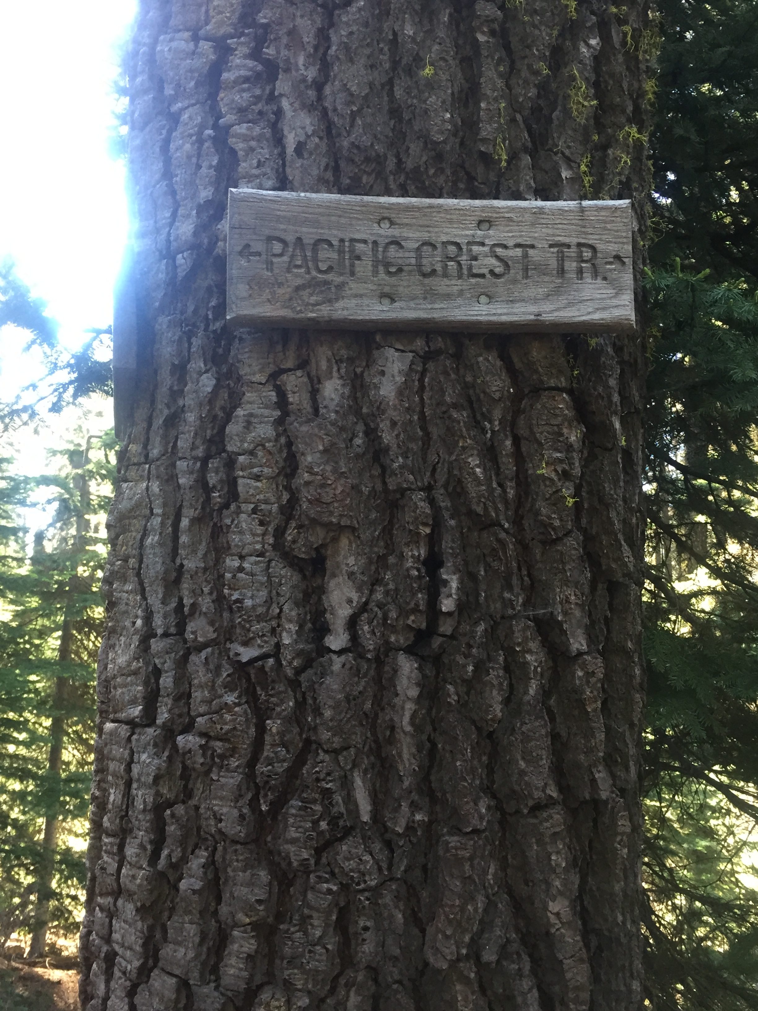
The beautiful forest walk continues and at 10:10 I find that I am still on the right trail.  I don’t think I have had any options to go the wrong way at this point but it is still nice.    I will say that the trail is mostly VERY WELL DEFINED and EASY TO FOLLOW and really only directionally challenged people and those paying no attention whatsoever would have any problem following it.

PCT 1771-1787 Always good to know

At 12:30 I get to a Swan Lake which is just off the trail.  I have plenty of water so I just sit there for awhile and enjoy the view hoping that a couple birds might show up.  Nothing does and so eventually I move on.

PCT 1771-1787 Swan Lake right next to trail.

The rest of the day is spent just hiking.  I do come to a spring where I fill up with water for the evening and morning meals and the next day.  14 miles from the spring to the next water source and so I get all I think I will need.  Meet a group of 5 hikers here who I will see from time to time throughout the day.  They end up diverting just a bit to camp by Red Lake while I camp closer to the trail.   From the spring to the camp site (about 4 miles) is where the mosquitoes start to make there presence known.  By the time I stop for the night the mosquitoes are as fierce as I have ever experienced.  Each time you stop you are swarmed with mosquitoes.  Basically covered.  I have a net around my head the always wear long pants and long sleeve shirts and put deet on my hands.  So a huge annoyance but not much more UNTIL you do something stupid.  Of course I did something stupid.  I get my tent set up and get in the tent and kill the 20 or so mosquitoes that followed me in.  Then I clean up a bit and get into my sleeping attire which is a short sleeve shirt and short pants and then I realize I need to pee.  Ok….. how bad can it be…. I look out the tent and don’t see any swarms of mosquitoes and so out I go and get away to a good place to pee and start and WAM I am covered with mosquitoes.   In a second my legs are actually covered with other mosquitoes waiting for a place to land.  Trying to pee and swat mosquitoes on your legs is not something I would recommend.  It would make for a very funny video however.  I finished as fast as I could and raced back to tent.  After I killed the 40 or so mosquitoes that followed me into the tent I just started scratching my legs from toes to just above the knee trying to relieve the intense fire on my legs.  I thought of the words of my friend Phil who would tell me that is only going to make the situation worse and I tried to calm down and just ignore it.   It did subside some but I actually had to take a pain pill to get to sleep that night.  In the morning it was mostly ok.

Oh, and just to cement my position as the most inept PCT hiker on the planet, when I put on the netting, I put the netting over my head and then put my hat over the netting.   When you do that the netting right where you hat goes over it is right on your flesh.  So rather than the netting keeping the mosquitoes off, it provides a nice guided path for the mosquito.  So right along my forehead was a series of bites that stretched continuously from one side to the other.  Should have taken a selfie.

Had a great day.  16 miles was good I thought given I was taking my time.  There was some snow along the way but nothing serious.  There was a lot of debris on the trail which causes you to find ways around over, under, around and that slows you down a lot.

Lenora’s Story:

One of my favorite things about this adventure is our chance to attend new churches along the way.  I loved the first church we chose in Medford, Sacred Heart Parish, and we returned there each week we were in town.  Yesterday I realized it was my last chance to take pictures to remind me of this particular house of worship and so I wandered around the church and took pictures of stained glass windows.  It is amazing to consider how a church community can decide to use statues, paintings and windows to teach us about our faith.  I found the 12 Apostles pictured in the windows and was intrigued by the symbols for each of them.  In this church there were two beautiful and original paintings that I had to photograph.  The dome over the altar was stunning and the Tabernacle was beautiful.  I could just imagine using what surrounded me to tell stories of our Lord to one of my own children or grandchildren.  Our church has given us such a wonderful gift in the ways she presents the lessons of the Bible to our everyday imagination and reminds us of what wonders God has prepared for our future.

Need pictures here.

Now on to our adventure.  Thank you Lord once again.  A picture of Don contemplating wading the stream and then a picture of what we thought he needed to cross.  If the trail angels had been a little late that morning he would have been up to his knees, at least, in that water.  I often get a shot of him walking away on the trail.

June 29 – PCT 1680 to 1668

It was a nice night.  Not as cold as the night before and I don’t even need a jacket early in the morning.  I get packed up and start walking down the road which has a number of areas of snow but nothing serious.  I know I should get back on the trail and at one point I am disoriented again and head the wrong way to get to the trail.  Realize it quickly and turn around and get back to the trail.  Always a relief to have feet back the official PCT trail.  The water source that is in 2 miles is actually .7 miles off the trail.  I have no desire to try and find it because in 1.24 miles is a water source that is closer to the trail.  When I get to it, I go down to the water source but it is only a marsh and not really a great place to get water.  There is plenty of snow still around so a little down the path I stop and dig down into the snow to get the nice clean white snow and I scoop some of it out and with my pocket rocket stove I melt enough snow to get about 1.5 liters of water.  Probably good water but I still use my purifying drops and after 30 more minutes of hiking I stop and have some breakfast and feel great.  After about 6.5 miles there is a small stream crossing the path and so I sit down to rest and have a snack and contemplate getting more water.  While I am there is man comes up from the south and indicates there is really good water in another 4 miles.  Also a hiker comes from the north.  He and I sit around for awhile and talk.  His trail name is “Freedom” which he said he got an an earlier age but did not indicate why.  However he is a retired British soldier.  Got to retire at age 55 and now spends most of his time hiking.  He has done trails all over the world.  Done the Appalachian trail and he did the PCT from south to north last year.  This year he wanted to do the trail from north to south but because of snow was having a hard time finding places he could hike. We walked together for awhile until we hit the snow below

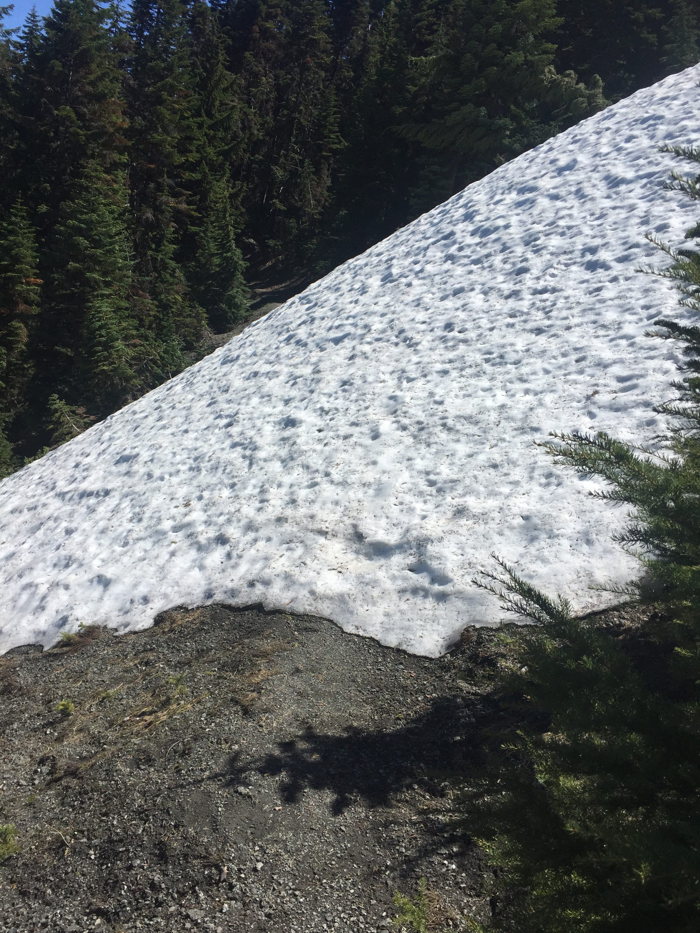
PCT 1668-1680 Are you kidding me!!

This little snow mountain is 20 feet high and was still quite frozen so there was no walking over it.  We can see where others have walked down the slope to get around it and so we did the same.  It was VERY steep and I had a rather hard time getting around it and up the other side.  “Freedom” was much quicker and I told him to go ahead as it might take me awhile.  He did leave but as I got to the top I looked ahead and he was looking back to make sure I made it.  He waved at me and kept walking.  Wasn’t too much longer he takes a break to have a snack and I catch up to  him and also stop and we talk a bit more.  About this time another hiker comes up from the south and tells us he had plans to walk to south to Castle Crags (about 180 miles away) but got to Seiad Valley and found out the trail from that point south to Etna and on to Castle Crags was not passable because of snow.  “Freedom” was not a happy camper about that news.  So the hiker giving the news just turned about at Seiad Valley and was heading back to Ashland.  I asked him about going through the snow again and he said he was ok this time because he knew to use the road.   I told them my story about getting lost and he indicated he had the same issue when he went through the first time.  He got turned around and went the wrong direction.  Made me feel not quite so stupid.  “Freedom” indicated that it was pretty common to get lost in snow.  “Freedom” takes off an I’m pretty sure I won’t see him again because he is much faster than I am.

Probably about 5 miles ahead I get to another water source and it is about 2:30 and time to have a little lunch.  “Freedom” is still there having his lunch and this also seems to be a spot the locals can drive up to and have a day hike.  There are cars about.  When I realize this is probably a place Lenora can get to, I decide to text her to see if that is possible.  She can see where I am and can see a path and indicates she will come.  Seiad Valley is only 14 miles away but the last 7 miles are a steep descent into the valley and I don’t think my toes are going to handle it (as of right now 6 toe nails are black).  Somewhere along the line I have also bruised the bottom of my left foot and it is tender.  “Freedom” does not see any reason to continue and asks if we will give him a ride back to Ashland.  Sure we will.  It takes about 2 hours for Lenora to reach us and we trade stories while we are waiting.  We agreed on almost everything and therefore I declare “Freedom” to be a very smart man indeed.  As we drop “Freedom” off in Ashland we exchange contact information and I expect “Freedom” to be in our lives sometime in the future.

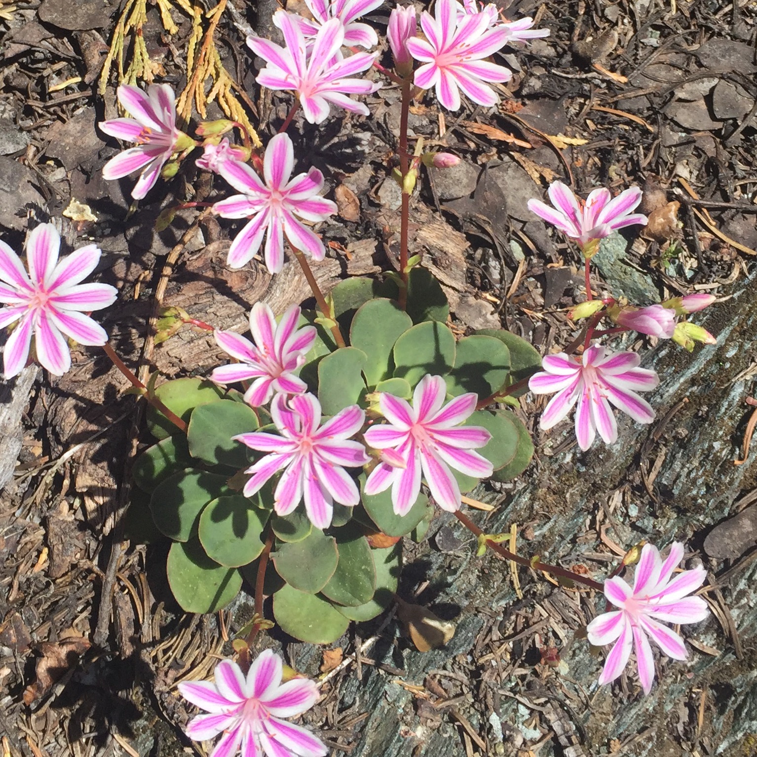
While doing those last 5 miles I come across the following wild flower.  I do not remember ever seeing it before and there were only 5 plants in this one area and that was it.

PCT 1668-1680 Siskiyou lewisia or cliff maids.

Lenora’s Story:

I’m working today on ‘Chocolate’ and watching the computer now and again to see that Don is going forward and not backward again today so I do not realize at first that he is stopped.  I get his message asking if I can pick him up a few miles sooner than I had expected so my first concern is to be sure he is ok.  OK means not sick, not injured just ready to be done for today.  Ok it is and so I locate him on the tracker map and plot my path and once again I am in the car.

He is 43 miles away and I’m a little surprised that it is expected to take me 2 hours to travel that distance but after all it is the wilds of southern Oregon and what do I know?  Apparently I know very little.  I start off on some ordinary country roads and am making good time but my projected arrival time does not get shorter.  When I leave the paved road I am 11 miles from my destination and an estimated 45 minutes travel time.  As I start I laugh.  No way this is going to take 45 minutes I think as I fly up the gravel road at a smooth 25 to 30 mph.  Suddenly I am at a big iron gate with a road closed sign.  I begin to panic then recall just a little ways back I saw what appeared to be a driveway with a small sign with the numbers 1055 on it.  I laughed as I passed it because I thought someone lives at 1055 on Road 1055.  Now it dawns on me.  I am on Road 1050 and that was my next turn.  Soon after backing down to the ‘driveway’ and onto 1055 I find out why the travel time is going to be so slow.  It is a one lane road that has some really impressive washboard sections, large boulders at the edge of the road and huge tree trunks that have been moved just enough to let me pass.  Some of them look like newly broken or cut wood and in some places the melting snow is flowing across the road.  I go slower and slower.  Finally a wide place in the road and the orange shirt that tells me that once again my love has done his best to clean up before I get there to pick him up.

He has a friend he made on the trail with him and we are going to take David to Ashland for some recreation and sight seeing while he decides if his hike for this year is over.  As I drive back down the mountain I am entertained by the conversation and the tales they have to tell about their adventures.  David finds it amusing that I drive the mountain roads with seeming confidence and then pull over before getting to the main highway explaining that driving in city traffic makes me nervous.  Remember the thing about being a country gal.  Just more evidence.

Again and again we are amazed at how close the Lord seems to be, not only in our daily lives but especially on our many adventures.  We manage to meet up time and again when we are not really sure where Don is or whether any of the roads to pick him up will be passable.  Our misadventures have been inconvenient but never disastrous and at the end of the day we both know we can still count on our Father in Heaven and each other.  God is good and we are blessed.

June 28 – PCT 1693 to 1680

So before I went to sleep last night a couple passed by and told me there was definitely snow in my future.  The started at the California/Oregon border and that there were sections where the trail was covered with snow.  Not really bad news because I figured I would be traveling through the snow I could not all that far away.

Anyway the night was pretty cool and I was chilled a few times in the tent and really was not all that interested in getting out of the sleeping bag,  But I knew if I got up and going I would be fine.  So out came the down magic jacket and with that on I was warm enough to pack up and have breakfast.  My hands got a little cold but not really cold enough to be a problem.  It just made me remember the advice that the nights on the PCT are always cold.  That has been 99% true with only a few nights I remember as actually being warm.  Here is the view I have from my campsite just before I start walking.

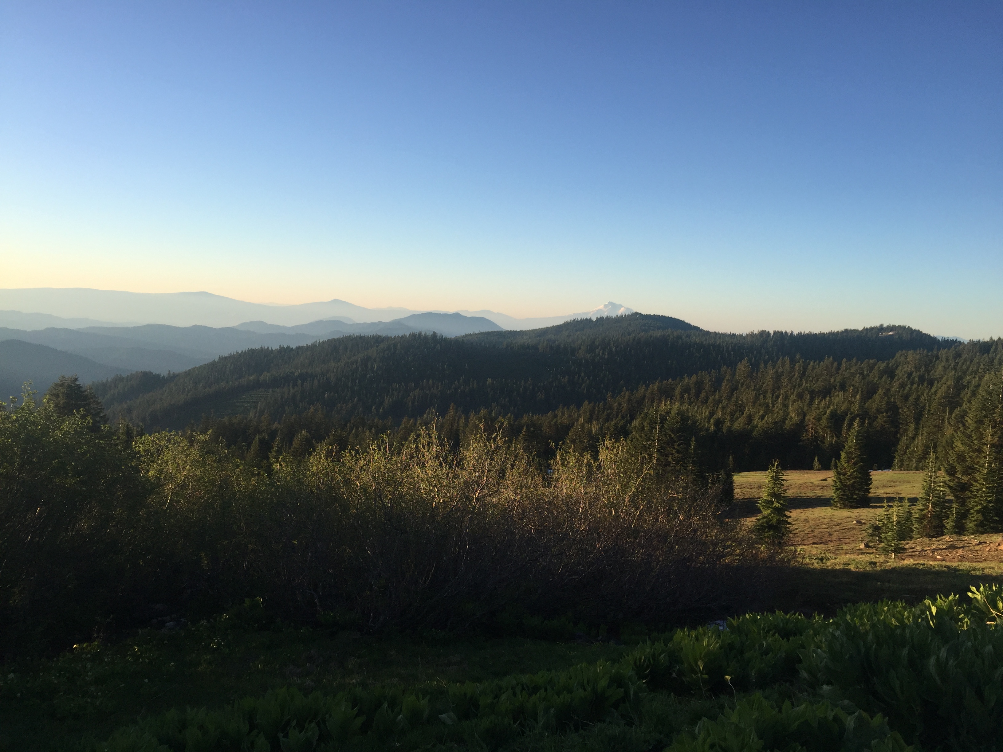
PCT 1680-1693 View from my campsite in the morning.

When I got to the part of the trail that was covered in snow I noticed from pretty far away that the crest was clear.  The sun and wind had taken care of the crest so when I got to that point I just went straight up to the crest and walked along the crest and along a run on the other side of the crest for awhile.  Eventually I got to the point where the trail crossed over the crest and the road and looking at the map I figured I could stay on the road I was on.  After about a half mile it was clear the road was not going the same direction as the trail and so I had to get back to crossing and spent some time trying to figure out what to do next.  It was not as obvious at this point how to avoid the snow.  After about 10 minutes however I did find a path, again above the trail, that was mostly clear of snow.  At one point when I was going across the snow I got to a point where there was a mess of tree branches and falling trees on the other side of the snow and my feet got tangled in the mess and I did a face plant.  I thought I heard something break and I thought it was my glasses but luckily I guess it was just the little branches that broke.   I wondered what my face looked like but nobody that saw me said “Dude what happened to  your face” or anything so I figured I was ok.  A few cuts on the head and on my nose seems to be all the damage done.  It was not too long before I was clear of this snow and heading down elevation towards the California/Oregon border.   Below is a picture while I was on the ridge.  I didn’t take many pictures at this point because I was mainly concerned with figuring out the best way to go forward.

PCT 1680-1693 The trail is covered with snow so I hike off the trail on the ridge above

Once out of the snow it was a beautiful walk down to the border.  However along the way I continued to meet hikers that told me there was a LOT of snow ahead of me between miles 1680 and 1684.  They indicated to use the road which was covered with snow but was easier to follow.  My problem was that the application that I use had to be upgraded when I went from Oregon to Northern California and so until I could get somewhere with service, I did not a map that would show be the trail relative to the road.  Here are a couple photos on way to the border.

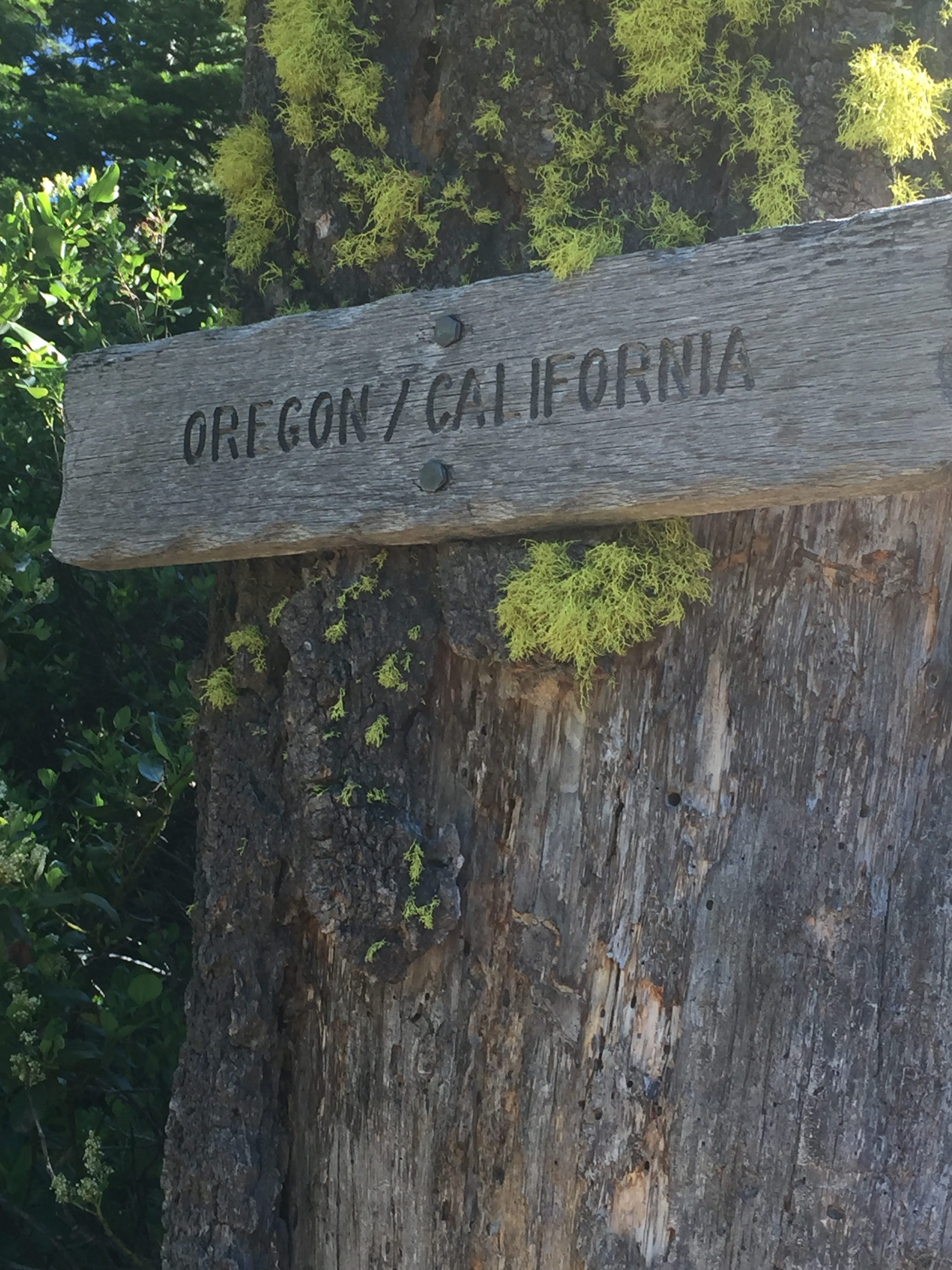
PCT 1680-1693 Meadow on the way down to the California/Oregon border
PCT 1680-1693 at the California/Oregon border

The border is about mile 1690 and so I know I have about 6 miles before I hit the snow.  There are a lot of hikers on the trail and almost all of them, like me, are surprised by the snow.  A lot at this point is probably about 6.  As I was approaching the area with the snow I could see a road below me and I wondered if that was the road to take.  At that time however a young lady hiker came out and I asked about the snow and if the trail could be followed.  She indicated that if you were good at following the trail without seeing it that it was possible but that she had ended up taking multiple “alternate” paths.  She was not really interesting in talking and I imagine she was just happy to be on the other side.  So I venture into the snow attempting to follow the trail.  At this point there is snow everywhere.  Trying to follow the trail, even with navigation app that I have was very difficult and time consuming.  I thought I was doing pretty good and then I came to a road and said…. alleluia all I have to do now is follow the road.  Well I continued on the road at about the same angle that I came to the road.  I remember I was at about mile 1682. I sloughed through the snow and eventually got out of the snow onto a dry road for as far as I could see.  I get oriented and figured out where the trail is and I hike up from the road to the trail and start walking.  It does not take me long to realize that things looked very familiar.  My heart sinks and I look at the application again and notice I am at mile 1684.  So I had gone the wrong direction when I hit the road and was going the wrong way.  Well at least I know the road to take now so I hike back down to the road and start following it back into the snow. Here is my path, the path of a drunk man going home.

After awhile I do finally get to the crest and I am able to get a signal and able to download the Northern California map and see where the road was relative to the trail.  About this time I also get a message on the InReach from Lenora who asks if I am lost because I seem to be going backwards.  I have signal and tell her on the phone that I had been lost most of the day but I think I have it figured out now.  When I get to mile 1680 at about 6 I decide to stop for the day. I am mostly out of the snow but there is still a little more to come.  So for the day I did 13 miles.  However my phone indicates I traveled 18 miles!!  All of the avoiding the snow and the getting lost had cost me 5 miles.  Here are some of the photos

PCT 1680-1693 Basically from mile 1680 to 1683 is covered with snow
PCT 1680-1693 Up and over
PCT 1680-1693 Trying to show how deep the snow is. 15 feet or so
PCT 1680-1693 Time to climb a mountain of snow. You can perhaps see where people coming the other way slid down

I set up camp and have dinner and at this point notice my camelback is empty.  I have 2 liters of water for cooking at evening and for morning and walking to the next water source.  There is a water source pretty close to where I am camping but there is so much snow and I could not locate it and neither could another couple camping at the same place.   There is suppose to be water in 2 miles down the trail and I figure I will get there next morning and have breakfast.

All is good.  I have found the trail again.  The snow I don’t have to travel through is a beautiful sight.

Lenora’s Story:

I am on the phone with Carolyn talking about EGA National Seminar when I notice that Don seems to be going in the wrong direction.  I first assume he went back for something he left or dropped but as time goes by he still seems to be heading back.  I send a note but no reply.  I wonder if he is trying to find a place he can be picked up so I start to check ever 20 to 30 minutes until he reassures me that he has been lost in the snow but is now ok.

Yesterday was a big day and today I am resting more than working so i do not make the progress I had hoped for on my canvas.  I am on the second canvas of the trip, first one completed but always wish I were doing better.  I am working on “Chocolate” and hope to finish it before Monday so I can start a new week with a new project.  Don will return tomorrow evening or maybe early the next day and I do want to get a lot done while he is hiking.
This is called Chocolate. Makes me hungry just to work on it
Side 1 of Valentine House now complete


Don Post:

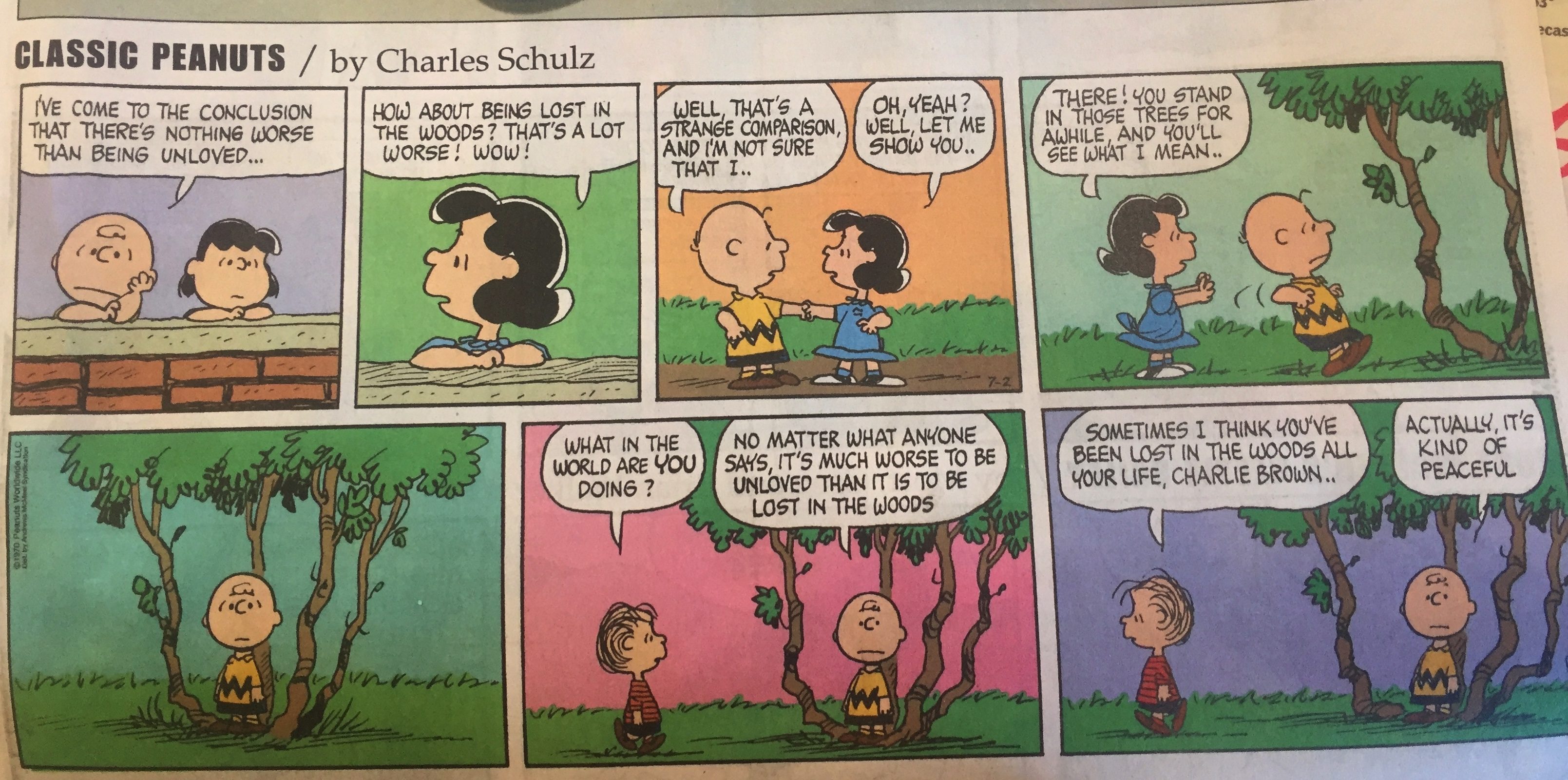
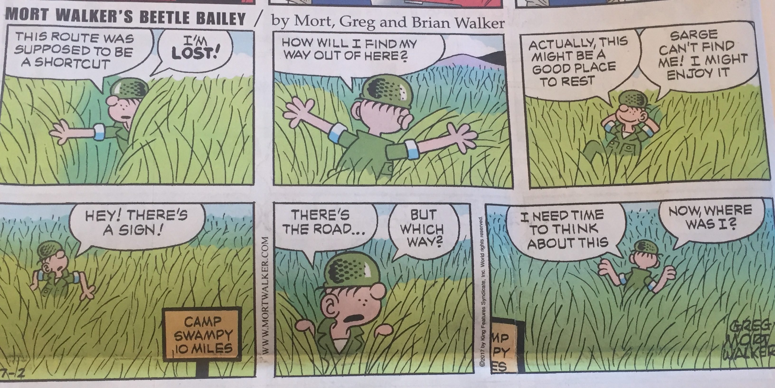
The Sunday comics seemed to target my feelings a bit

Peaceful
Perhaps my trail name should be Beetle