Category Archives: Hiking

Aug 20, 2020 PCT Mile 2638 to 2623

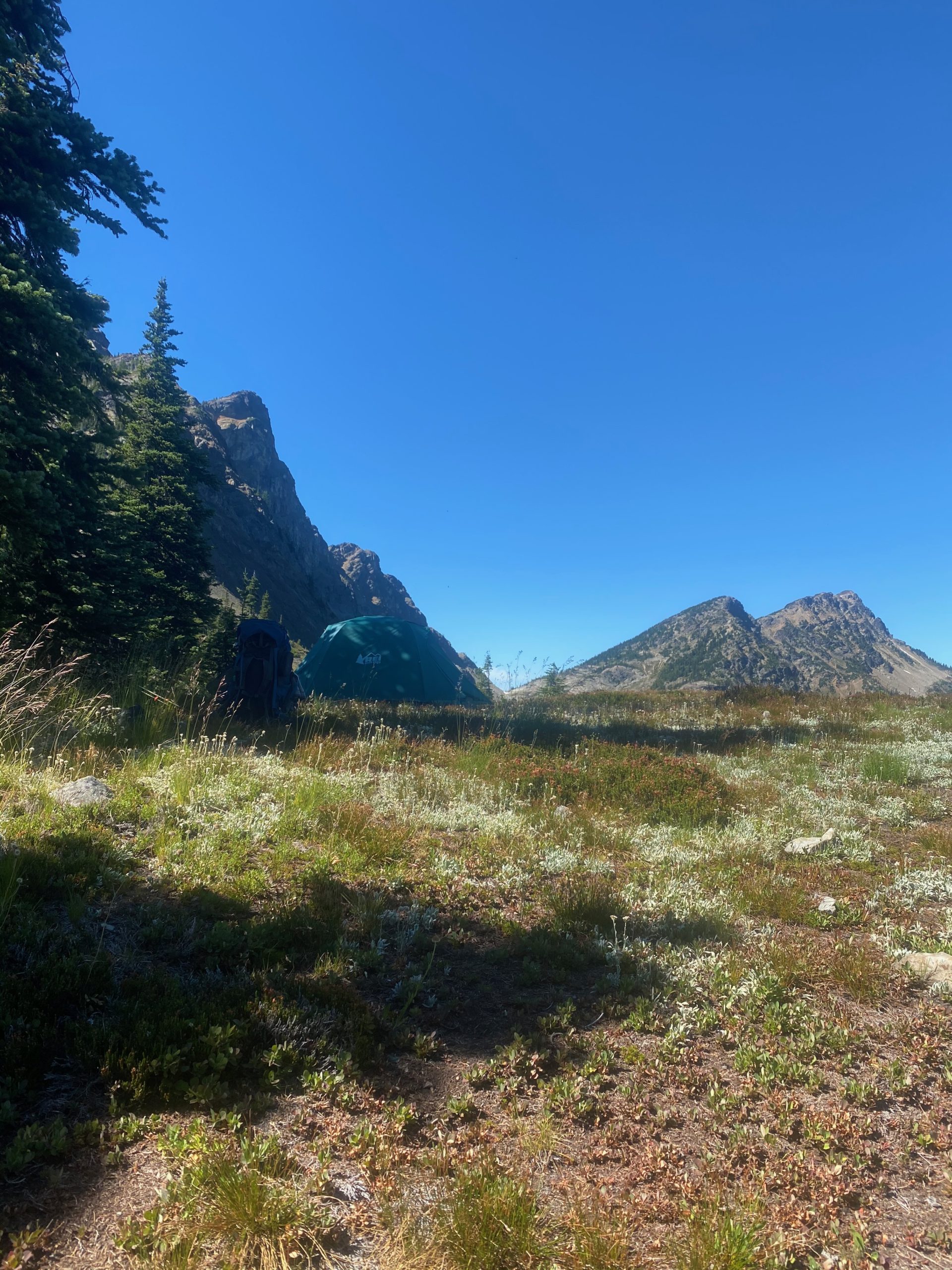
Not the greatest night. Perhaps the thought of rain at any moment. Perhaps because I had to turn around. Got up early and had breakfast and packed up the camp. It did not rain during the night but just as I was completing the packing up it did start to drizzle and it drizzled for about 6 hours. I covered the pack while hiking but did not feel the need to put on any rain gear. It was one of those annoying rains that is enough to get you wet over time but does not seem worthy of rain gear. Harts Pass is about 15 miles away and I’m pretty sure I will make it today. Not positive but pretty sure. Not sure enough to alert Martha and Lenora.
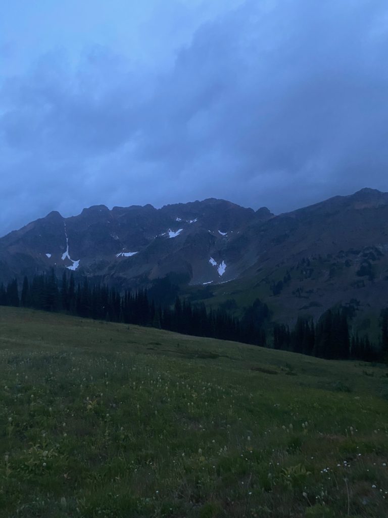
PCT Mile 2638 to 2623. Looks like rain

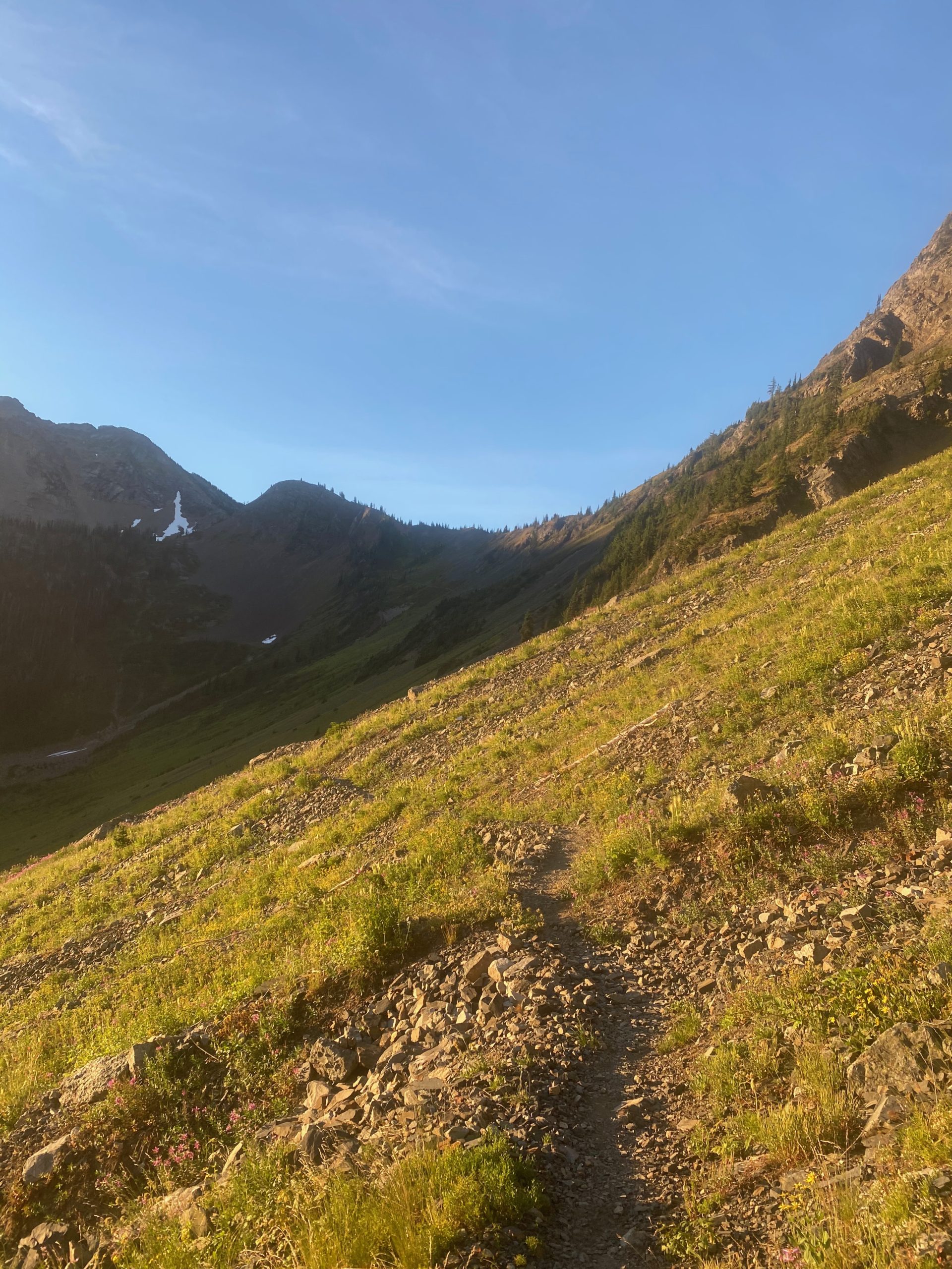
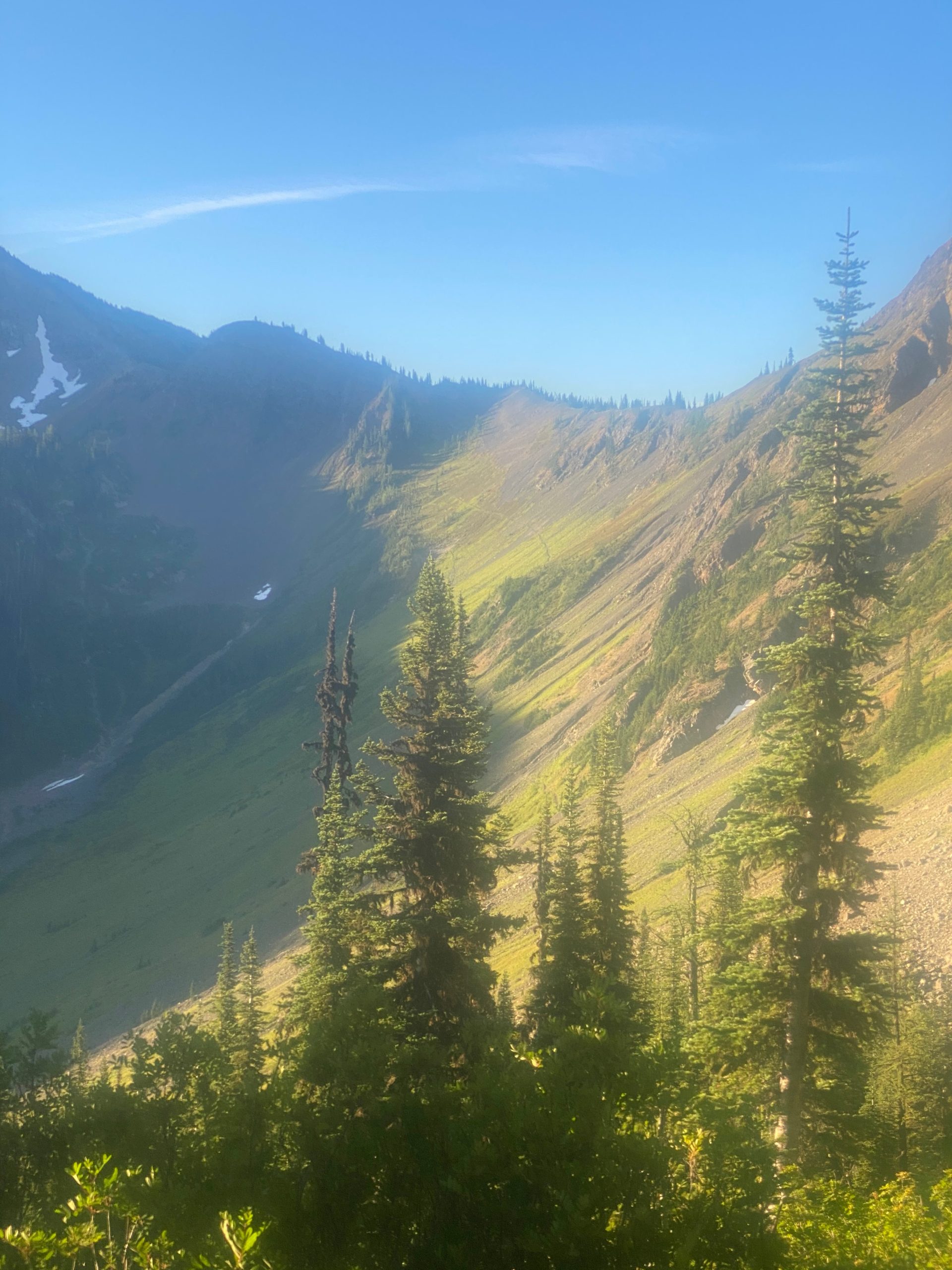
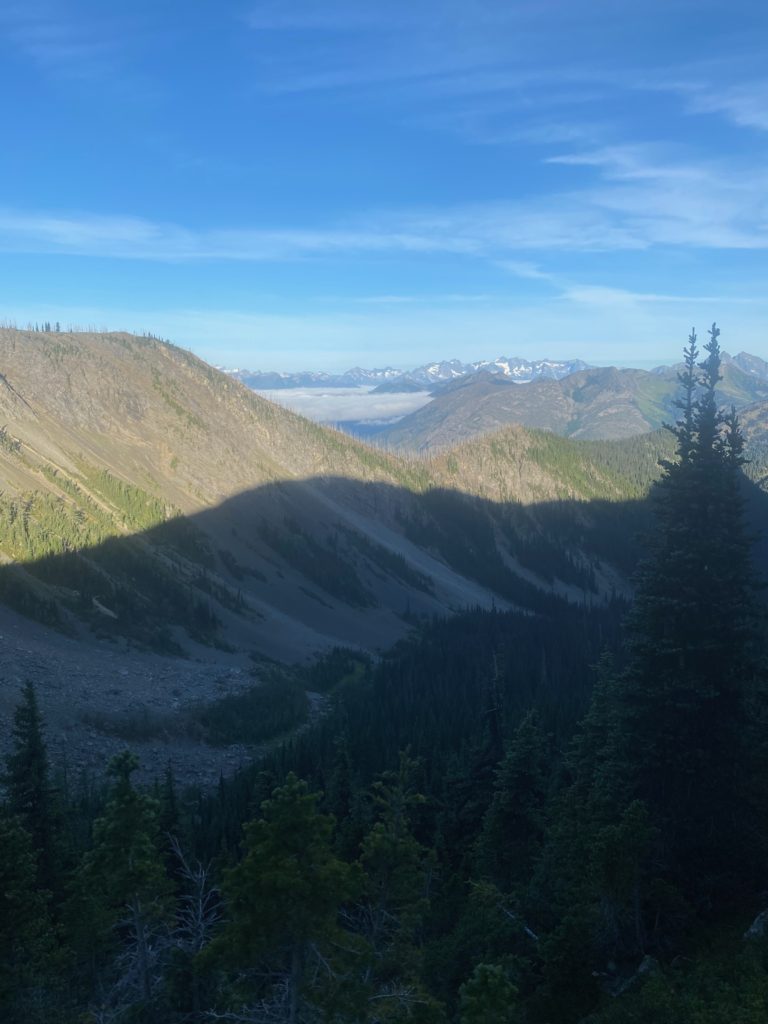
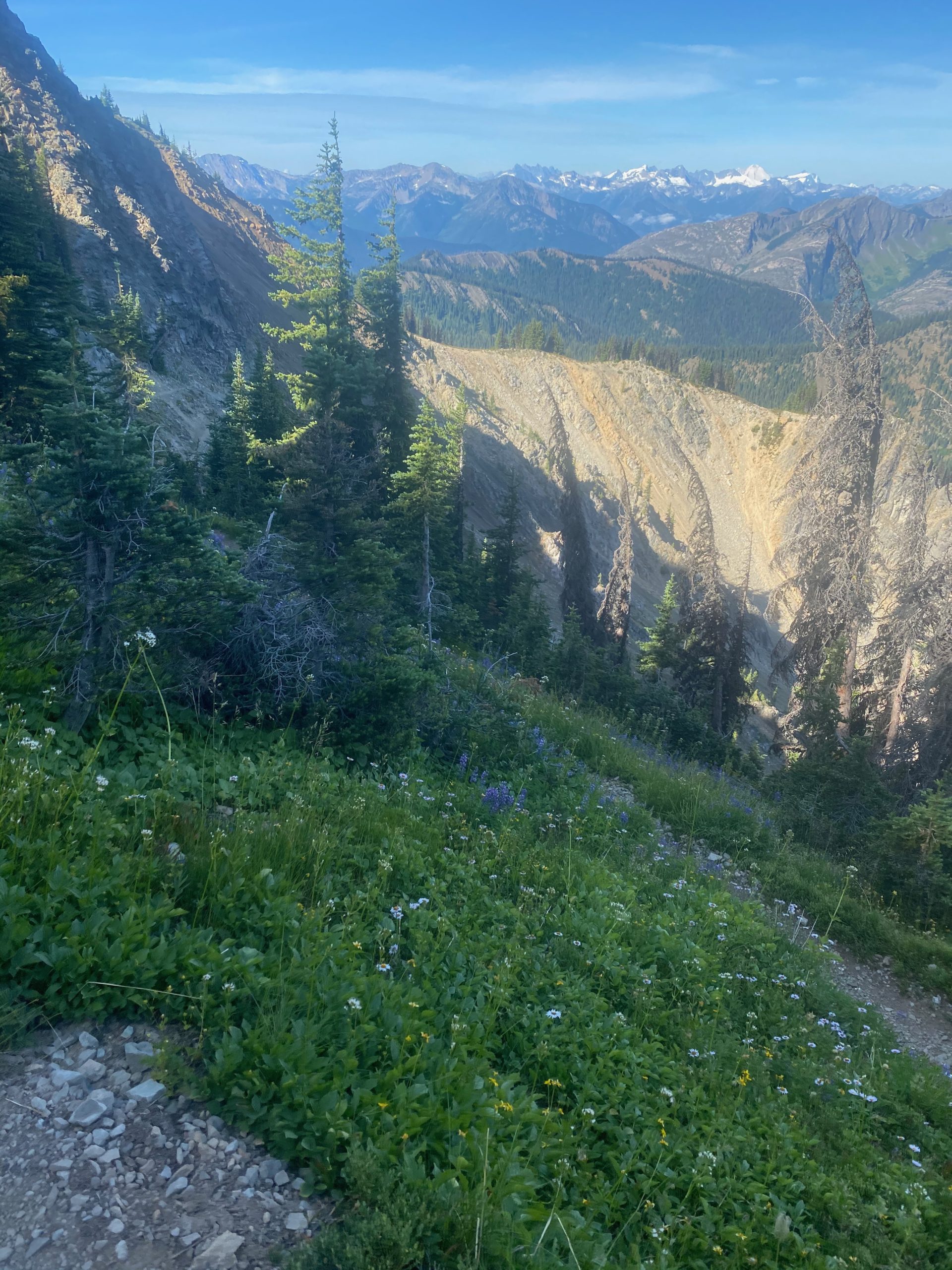
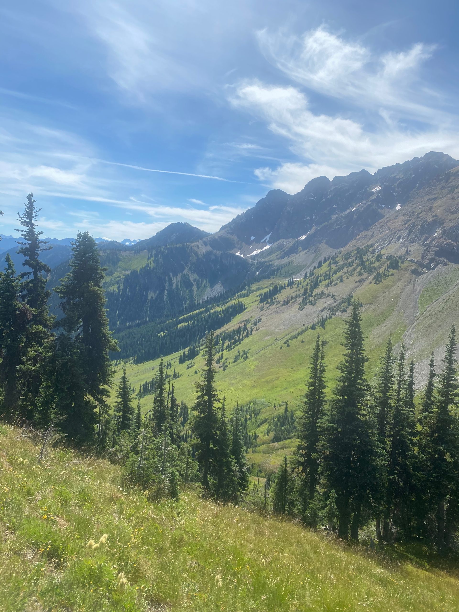
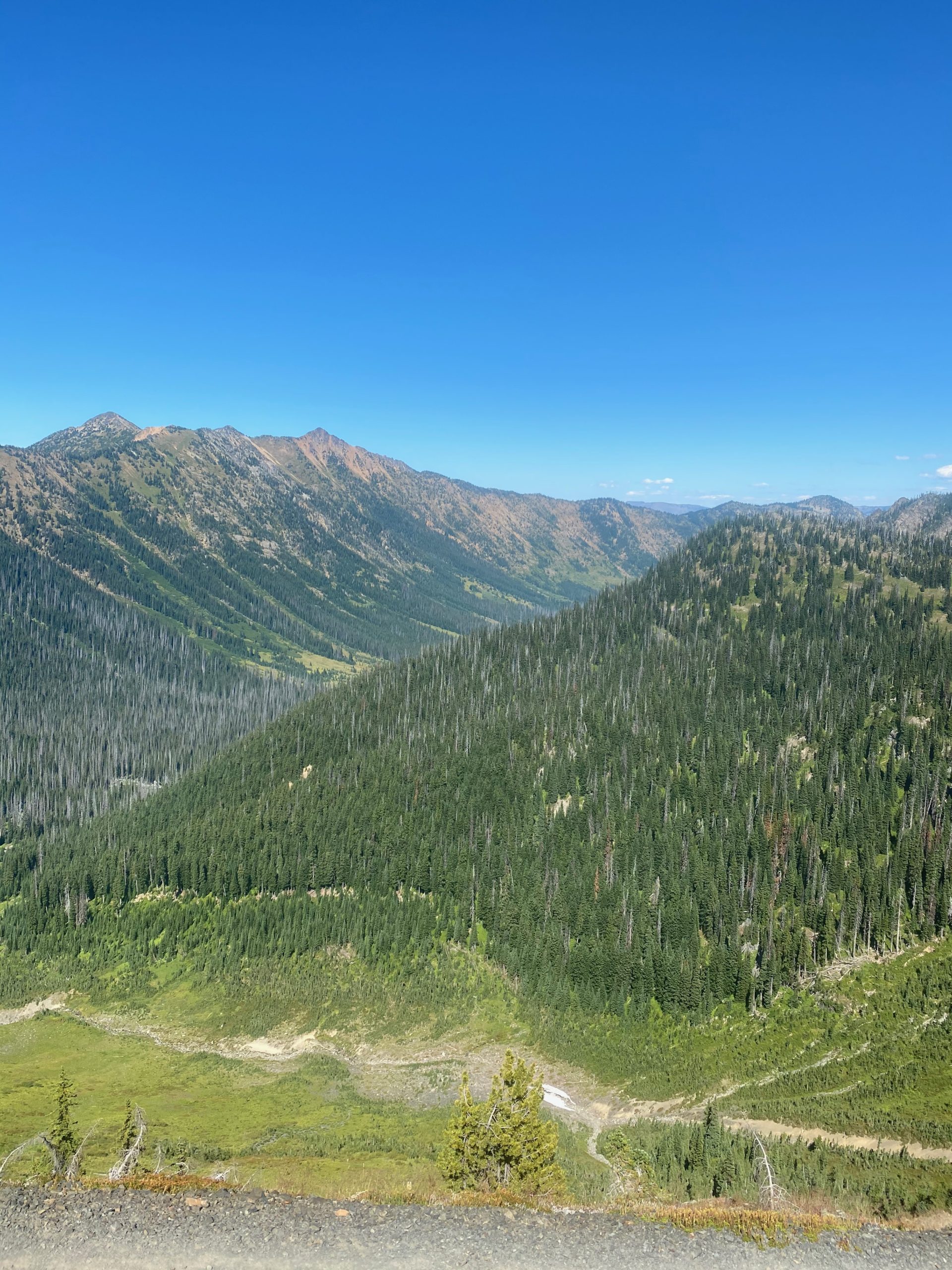
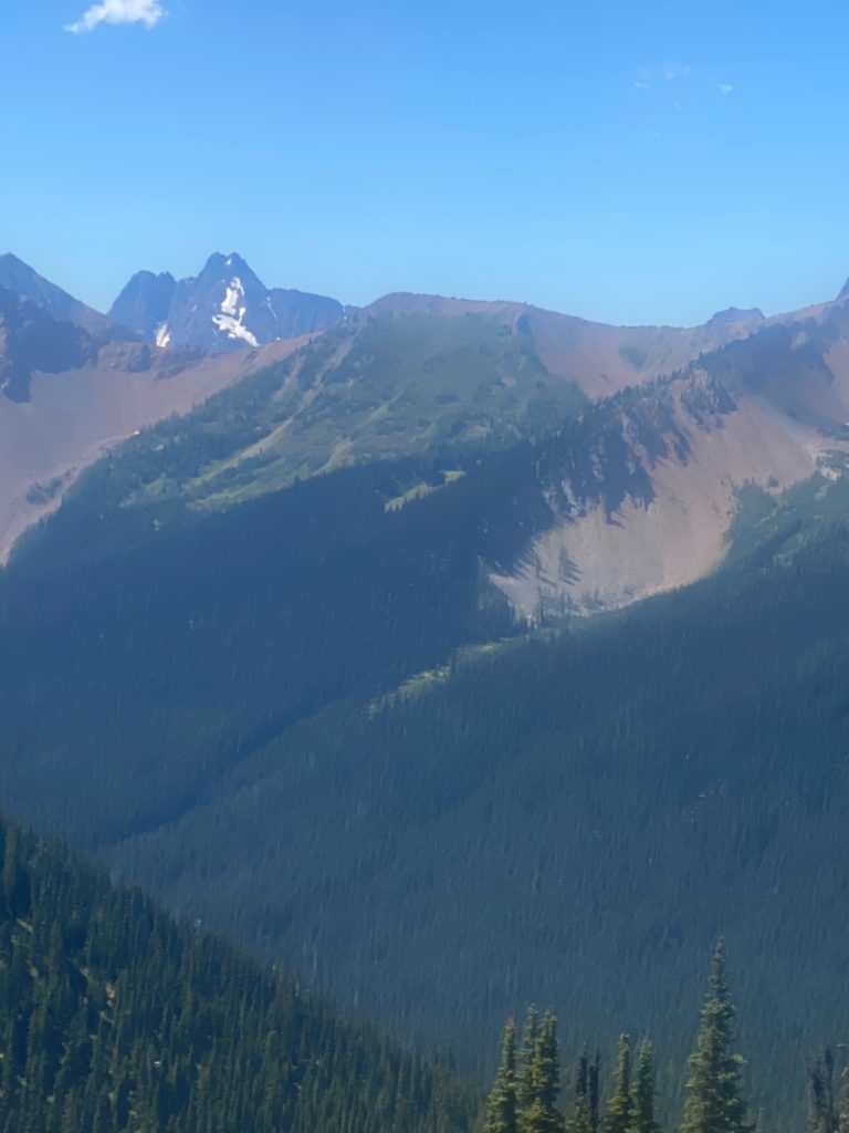
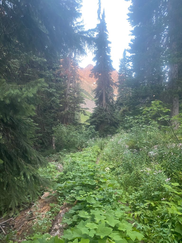
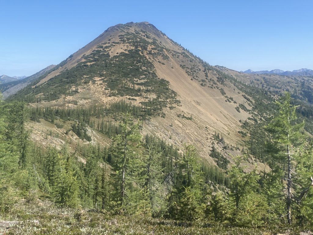
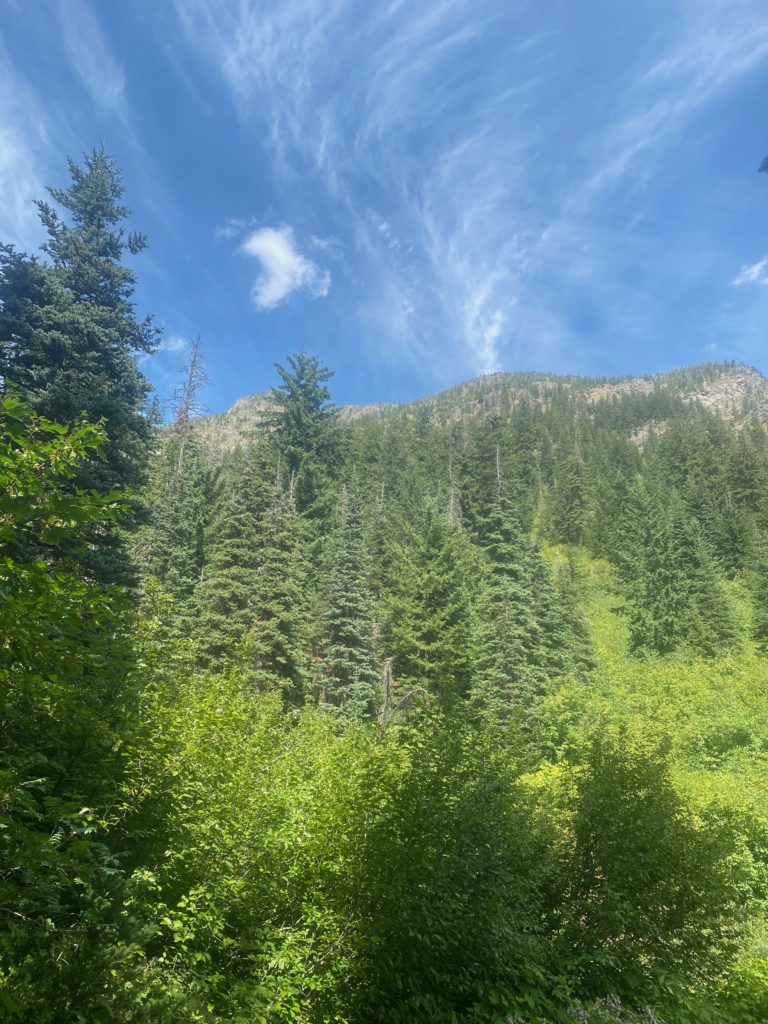
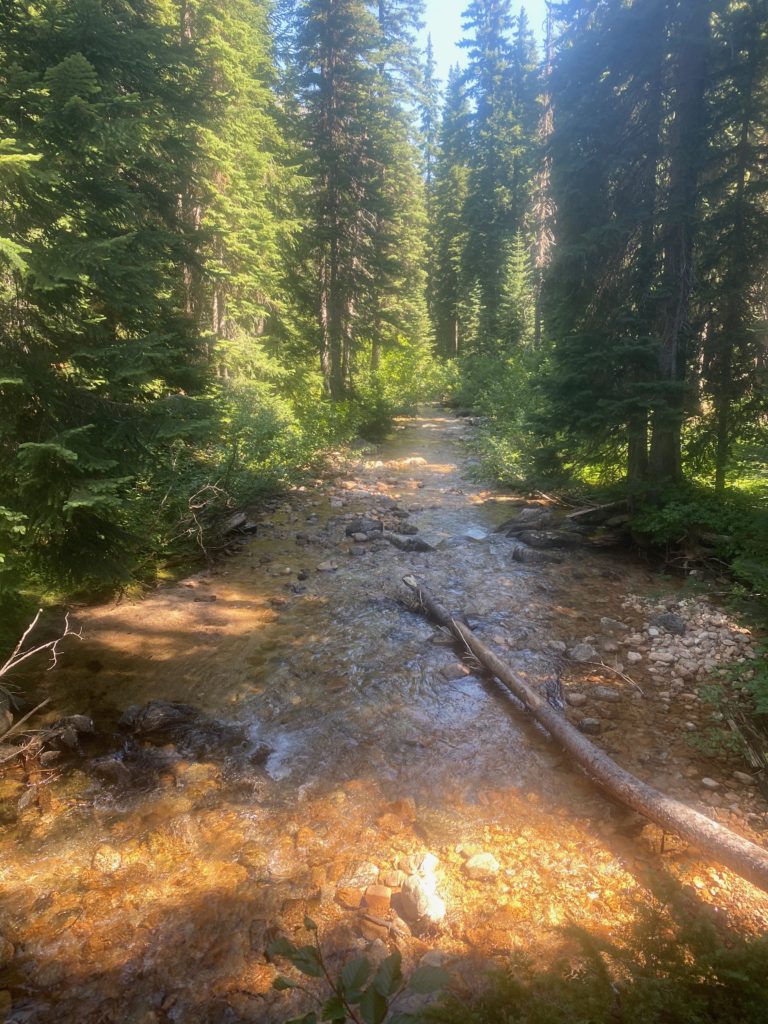
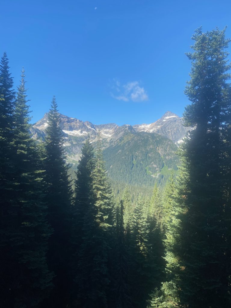
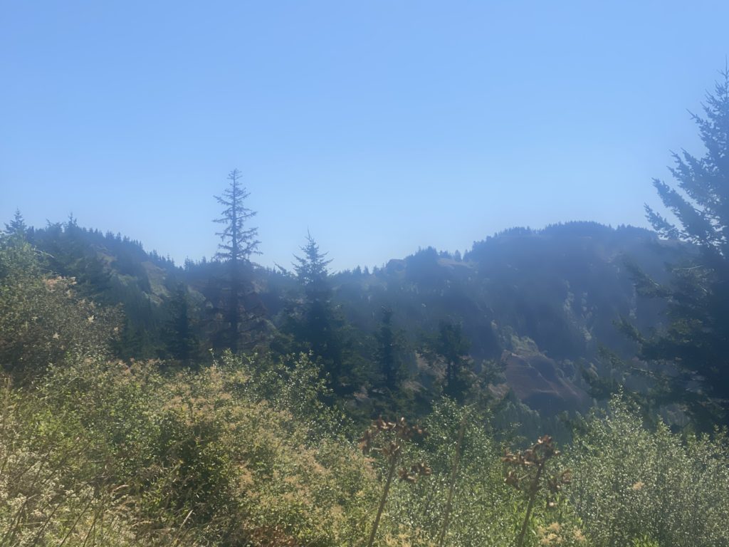
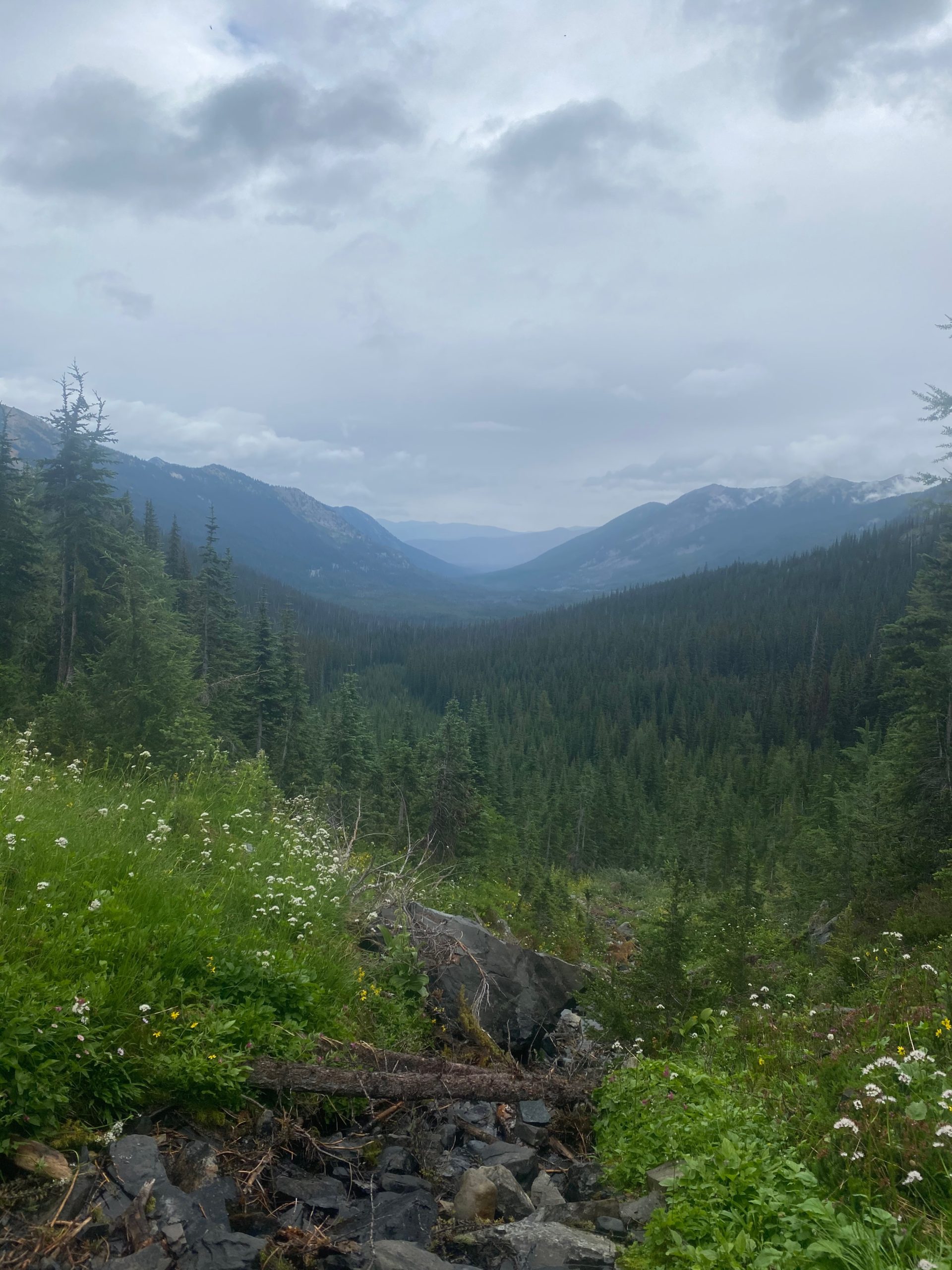
When I get back to the stream where I met Art on the way up, I paused to have something to eat and I wanted to take some pictures of the beautiful valley and the wild flowers around the stream. I remembered the view of the valley from the first crossing and wanted to get a picture of it.
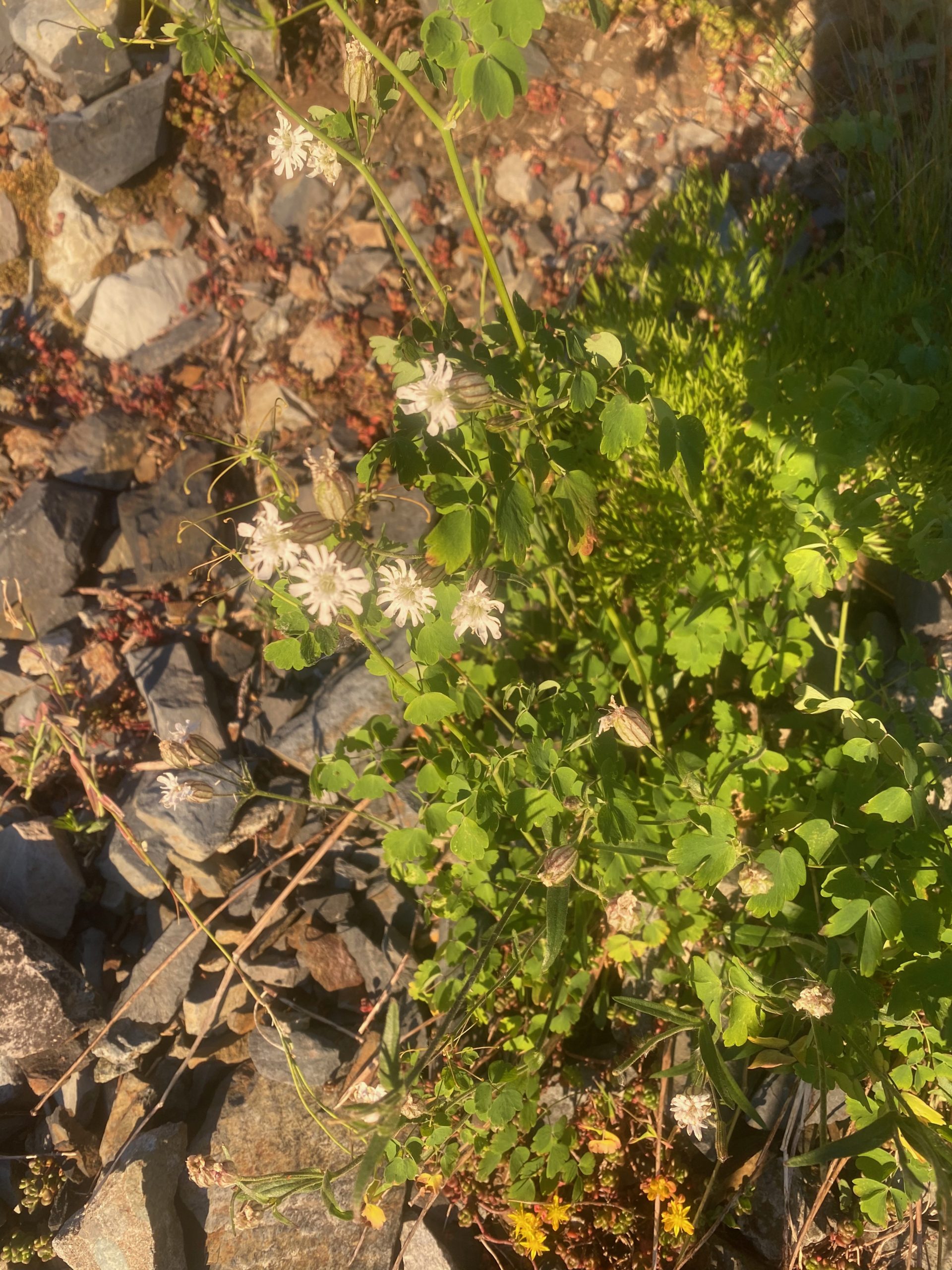
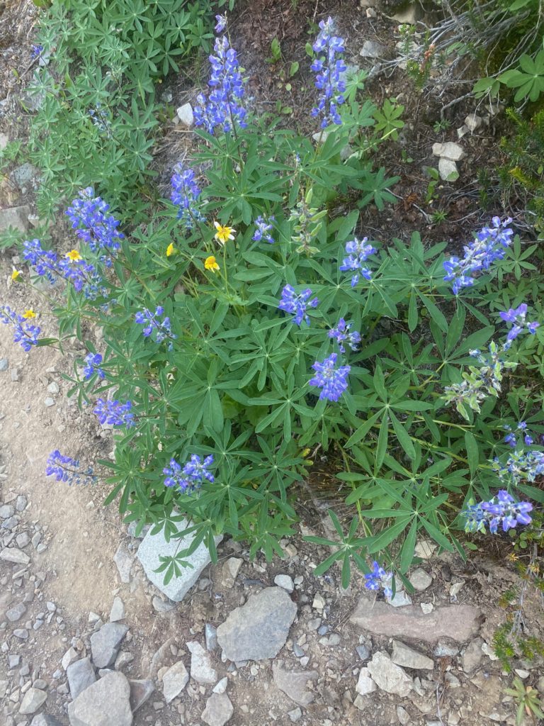
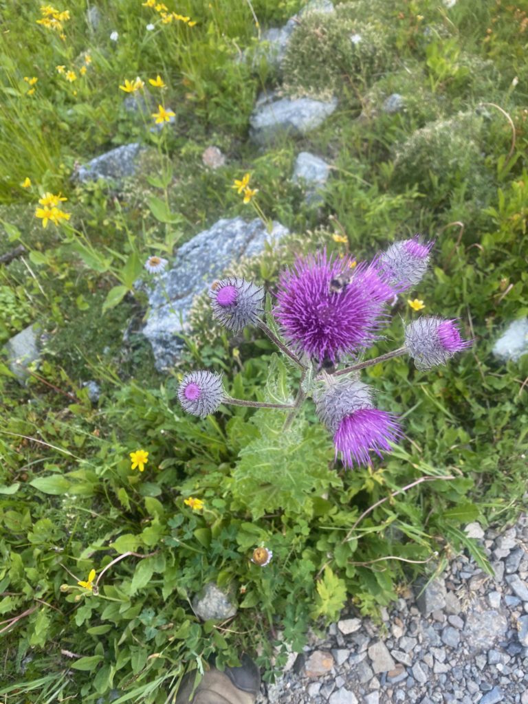
Somewhere on the way back the flower below caught my eye. It seemed to be catching the rain and directing it to the middle of the cluster. The rain drop looked like a shinny bobble in the middle of the flower.

PCT Mile 2638 to 2623. Arctic Lupine gather rain drops. Look like diamonds in middle to leaf cluster
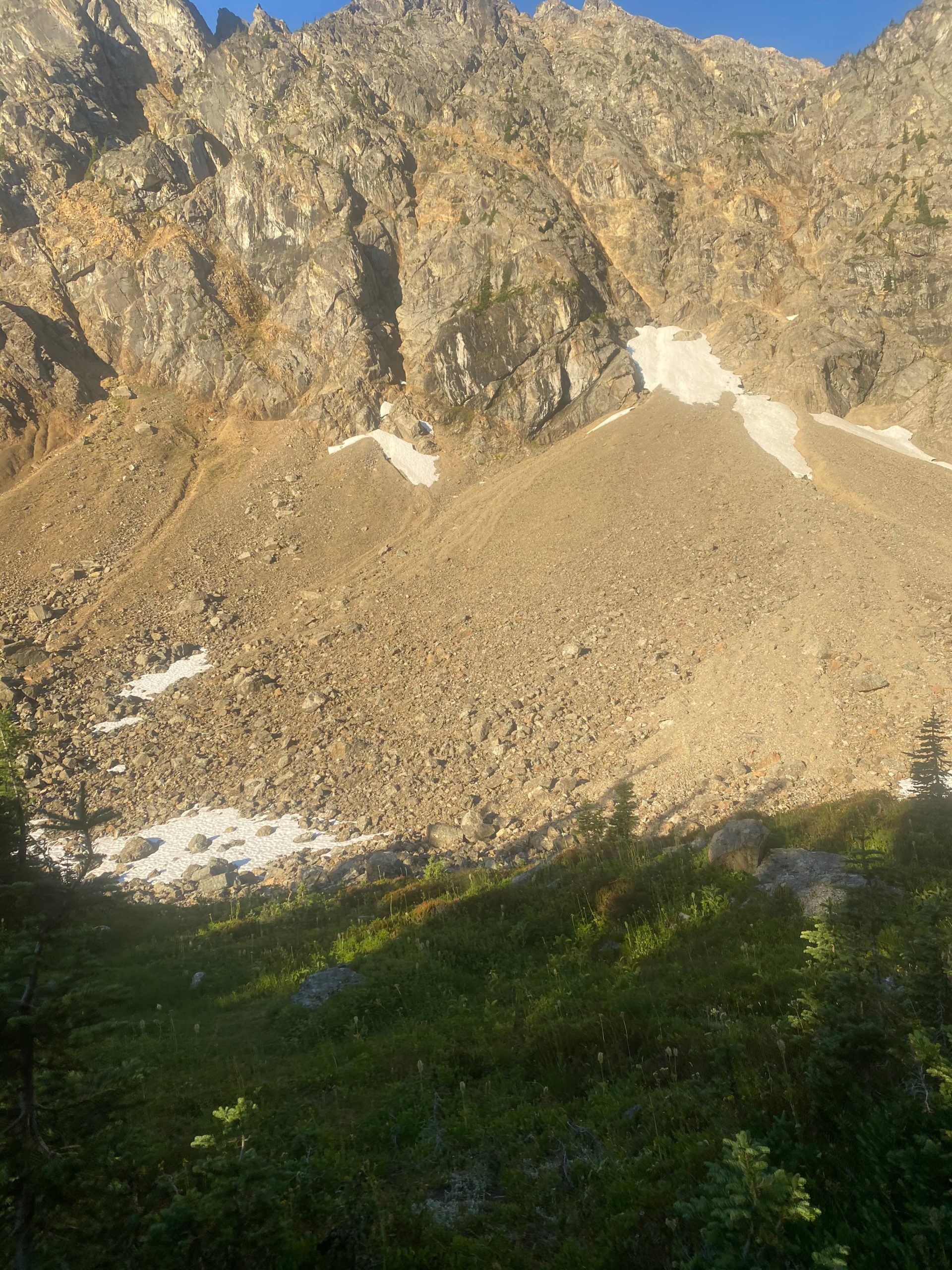
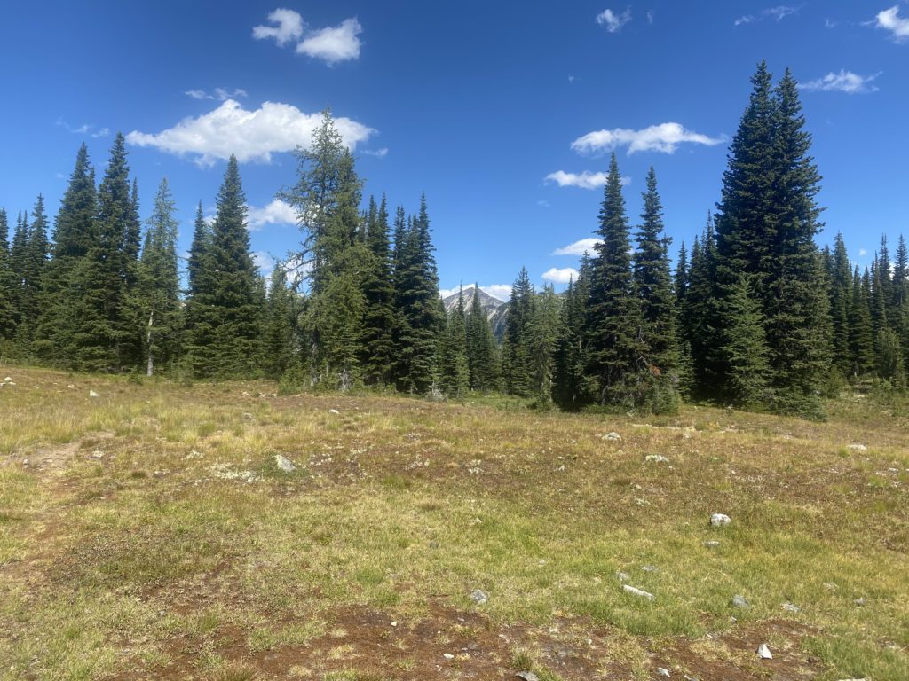
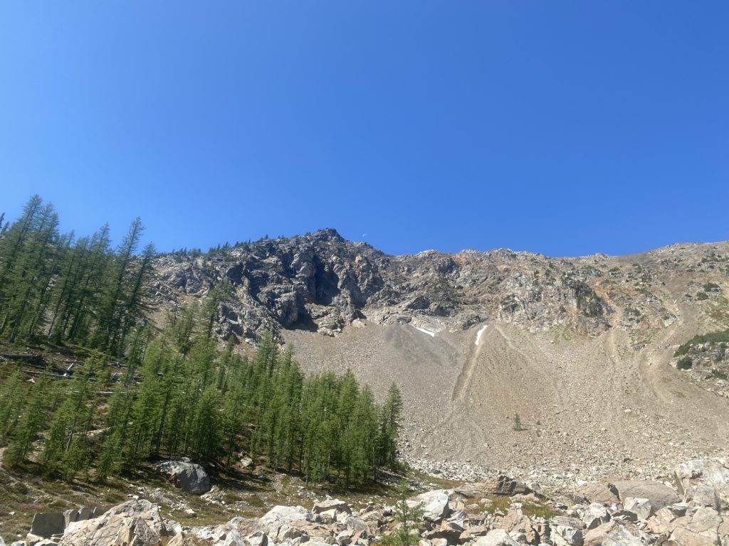
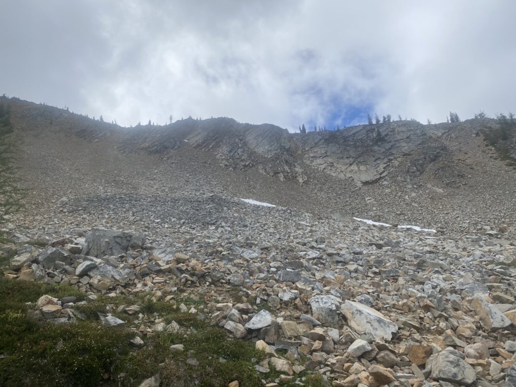
PCT Mile 2638 to 2623. A few rocks. A little snow

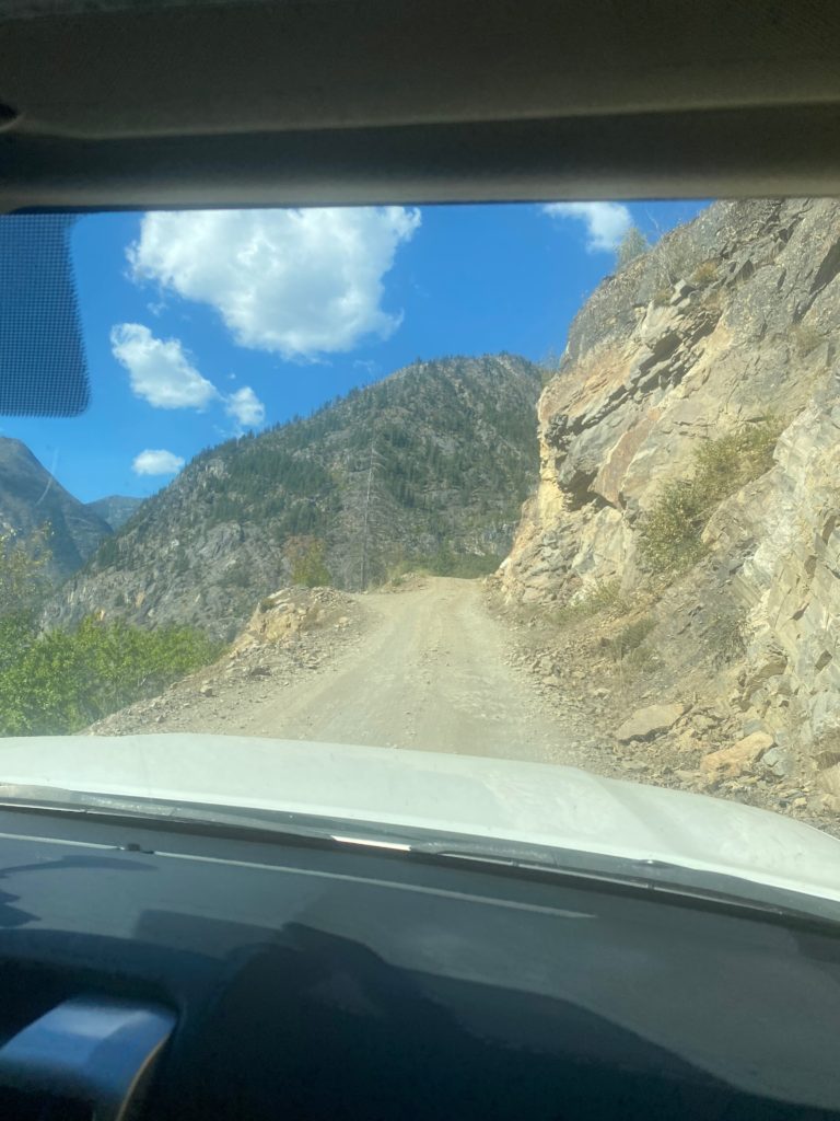
When I was 1.5 miles from Harts Pass and sure I would make it, I let Lenora and Martha know but also indicated I could stay the night. When I got to Harts Pass I did purchase a tent site but did not set up. Really not sure why because I knew at that time that Lenora and Martha were on their way to pick me up. It is a 3 hour drive up that wonderful winding dirt road. Actually the dirt road is the last 10 miles but takes an hour. I was just going to leave my tent space but as fate would have it, just at Lenora and Martha arrived, so did 2 young very dirty PCT through hikers. They asked me if I knew where they could get water and I told them about the stream about half mile away. Turns out I still had about 3 liters of water left and I gave them that for the night. I also told them they could have my tent space. They seemed happy. My tent space had a picnic table which for a PCT’er is basically just a nicer place to sit down :). So, God is good all the time.

I’ve done some of the south and some of the north of Washington. Next two weeks will be more the middle. From interstate 90 south to where I stopped at Trout Creek earlier in the month.

Aug 19, 2020 PCT Mile 2640 to 2646 to 2638

Another great night of sleep and without fear of water I have two Carnation Instant Breakfasts and I am ready to get to the border today. So very excited. Up early and start hiking about 5:40 or so. The sun is just coming up and I take a video of Rock Pass. As I pan to the left you may see a portion of the old trail that would have gone across the ridge over to Woody Pass. Not any longer. Heading down into the valley.

360 Video of Rock Pass

As I travel over to Woody Pass I get to a point where the old trail along the ridge meets the new trail through the valley. Not much of the trail left on either end but I can tell it would have been an much easier hike but it must have been pretty dangerous for the PCT to abandon maintaining it.
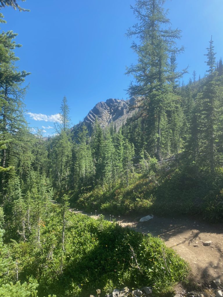
After getting to Woody Pass it is time to start the ascent to the highest point on the PCT in Washington. From there it is all downhill to Canada. I checked the forecast last night and there were predictions of rain tonight and early next morning. The image below I thought was beautiful but wondered if those were the expected rain clouds that were coming in.
PCT 2640 to 2638. Forcast calls for rain tonight. Some clouds moving in

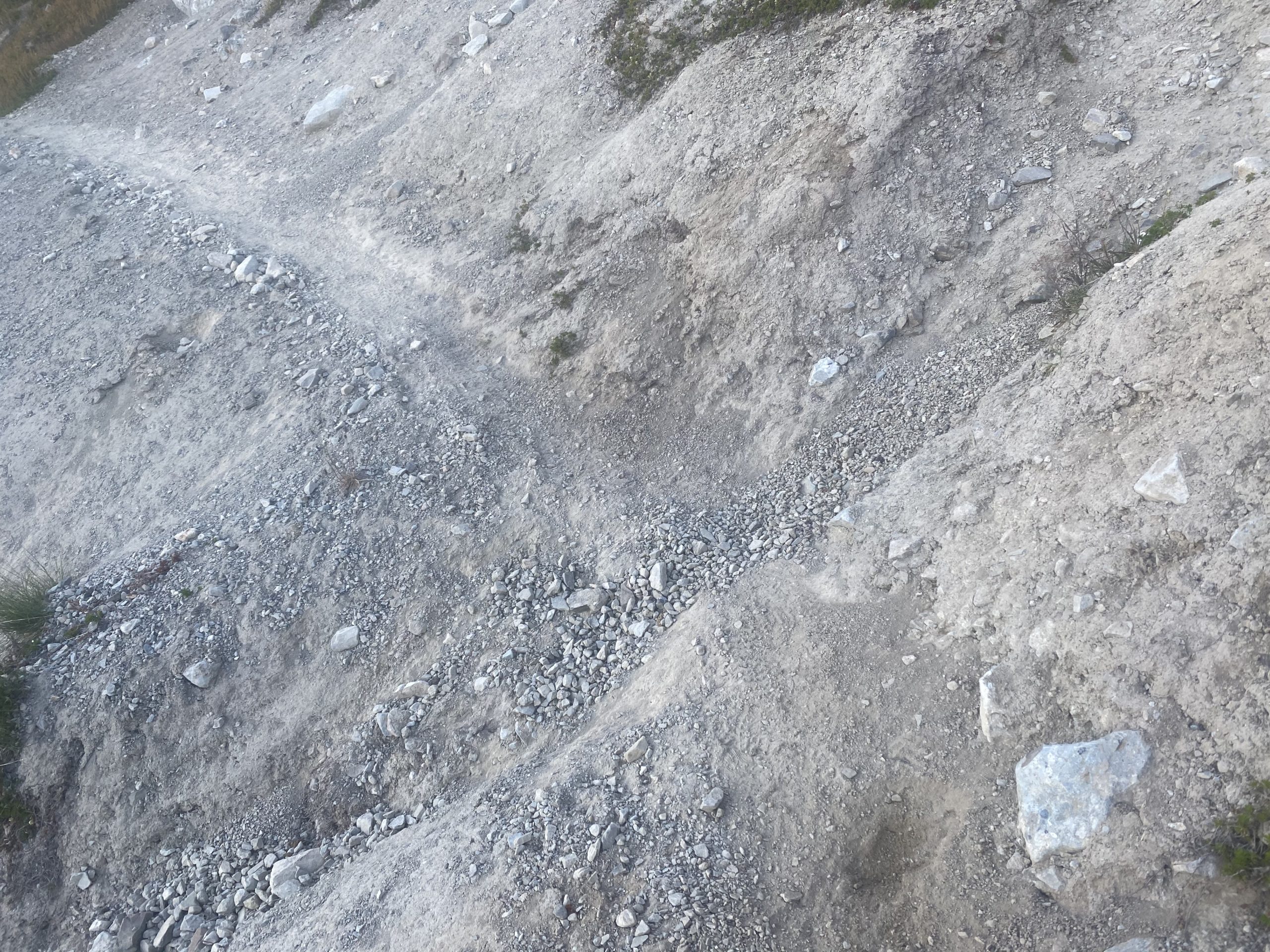
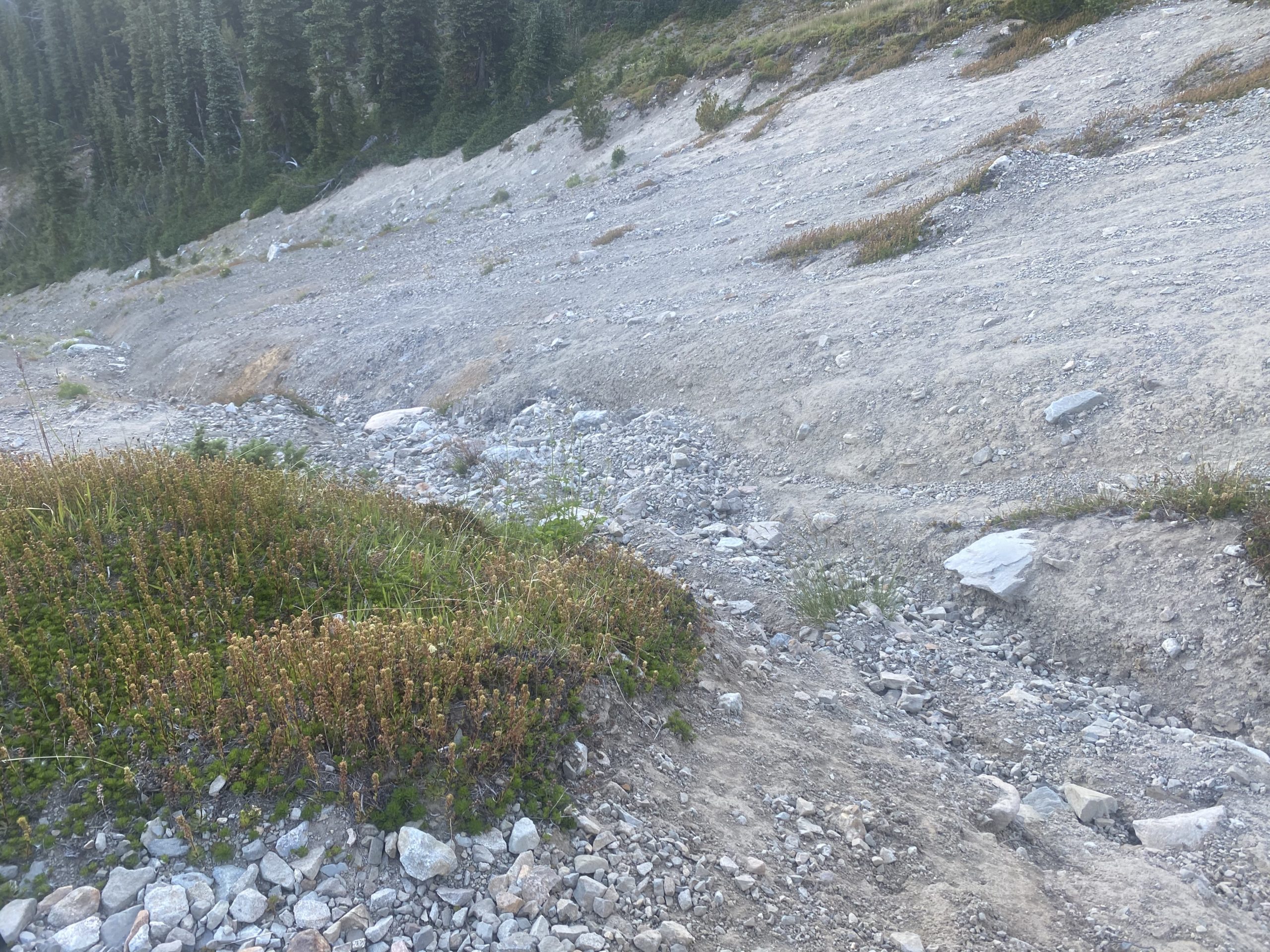
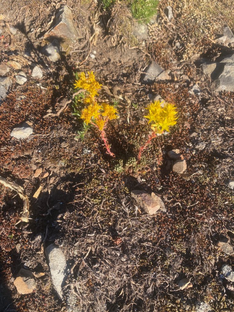
The hike is beautiful and the ascent not difficult until I run into the little trail damage shown below. I could not cross it but I could go above it. So I clambered up and over and down. Had to slide down on my rear but there was a lot of short stonecrop and so it was easy sliding.

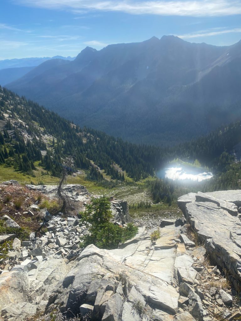
Almost to the highest point and I have a view of the lake that does indeed seem to hold water and I also took at 360 view video.

PCT 2640 to 2638. Looking at Hopkins Lake from almost high point on PCT in Washington.
PCT 2640 to 2638. 360 video from high point on PCT in Washington

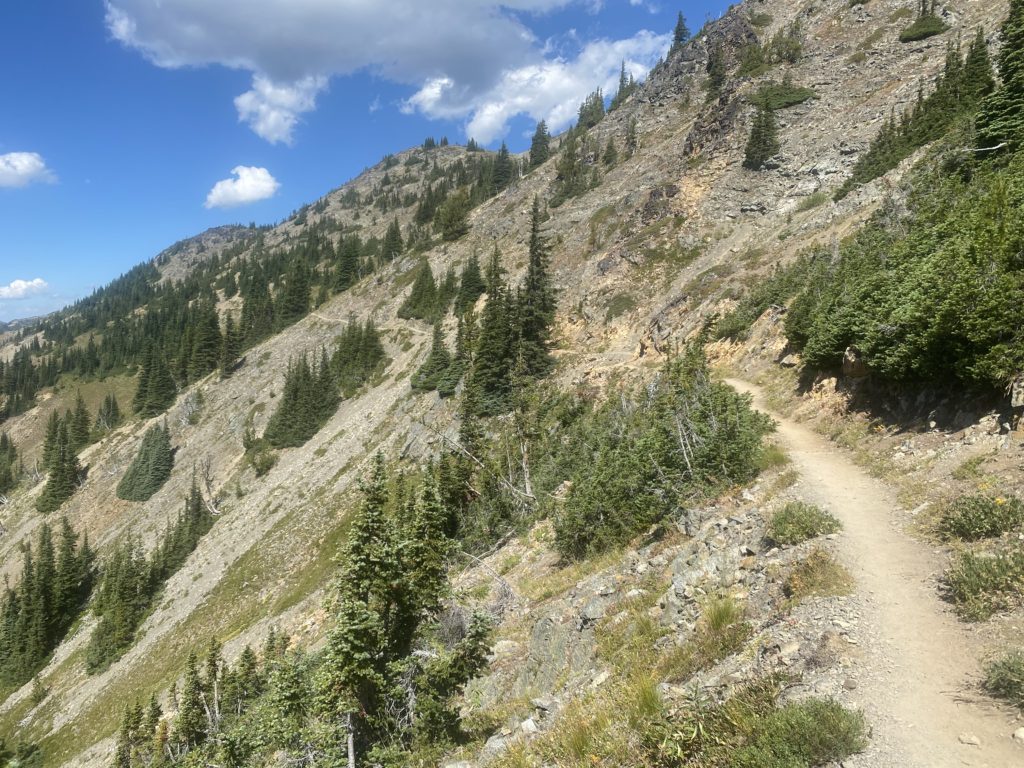
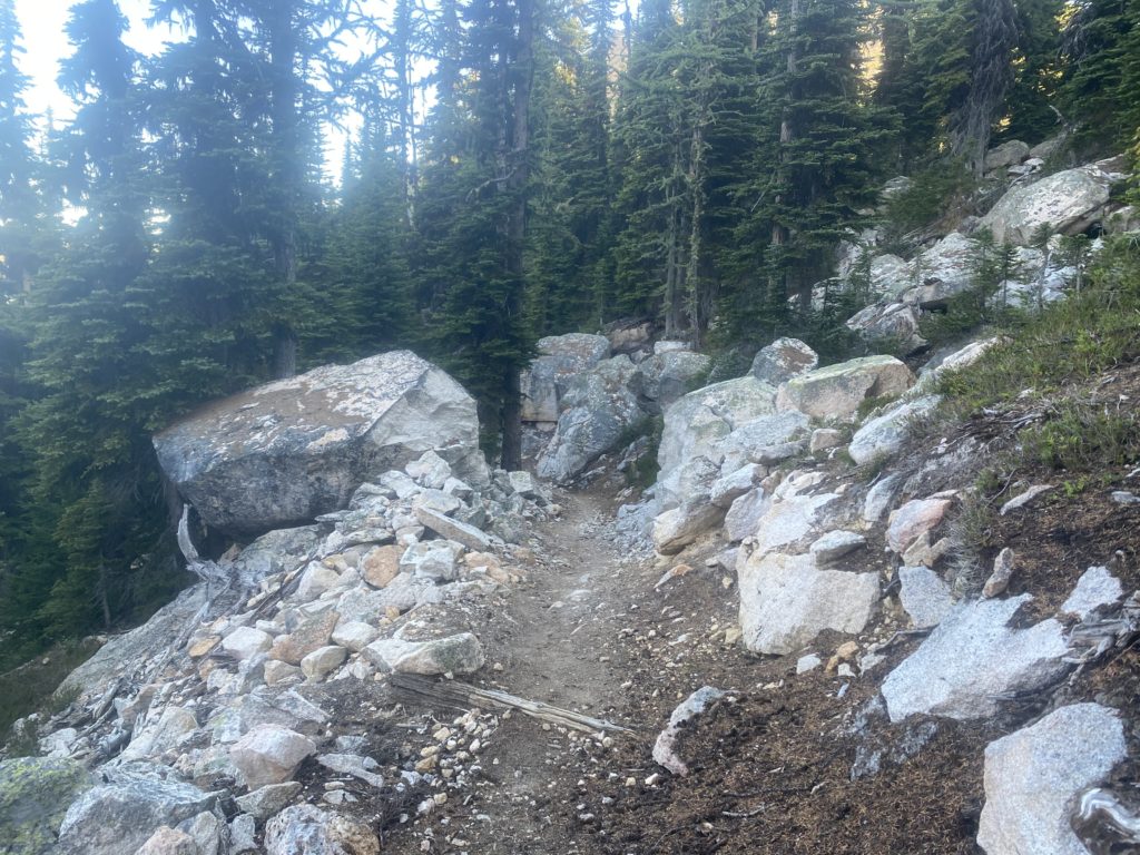
So I have hit the high point. It is only 9:30 and about 8 miles to go to ready the Canadian border. I’m feeling good about getting down and getting back. Only a 7% grade for a little over 7 miles. Feeling pretty good but after about .2 miles I run into a part of the trail that I can not traverse and I see no way around it. I took a few steps into the damaged area and could feel myself slipping. I was actually shaking as I tried to turn on the ledge that was less than 12 inched wide. I made the turn and went back to the wider area and wondered if it was worth it to try. I promised Lenora that I would not die on the PCT and I really was not sure I could keep that promise if I tried to cross this section. I knew that 100’s perhaps 1000’s had successfully crossed this area!! I looked down and could not see any bodies at the bottom (yes I really did). I really had no choice. 7 miles from the ultimate destination and I had to turn back. As I write this, I don’t regret doing so. It was the right thing to do.

PCT 2640 to 2638. I am destroyed.

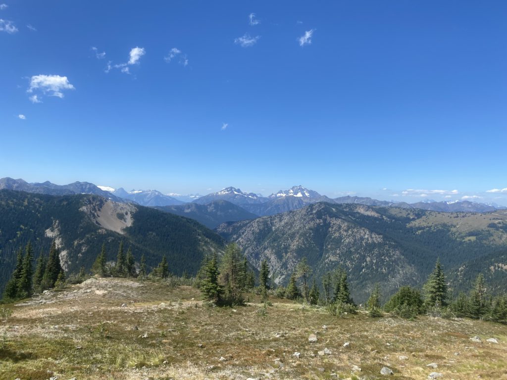
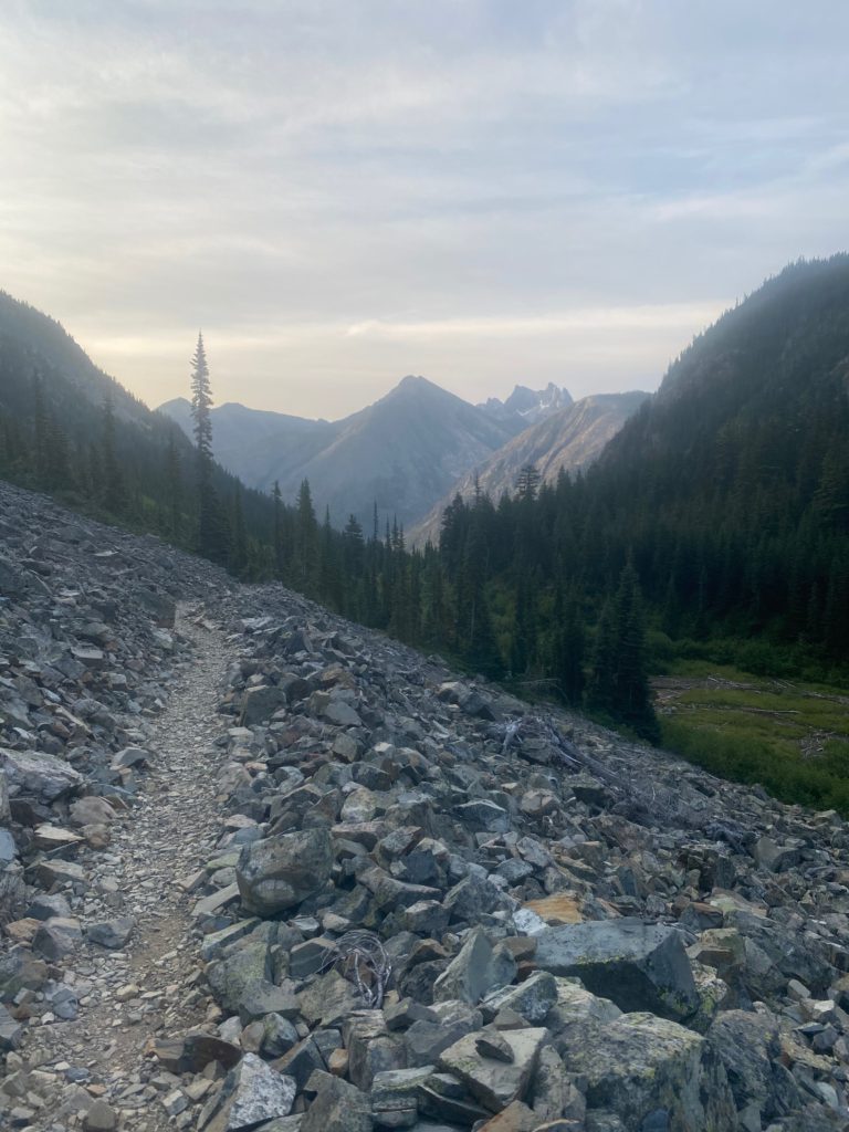
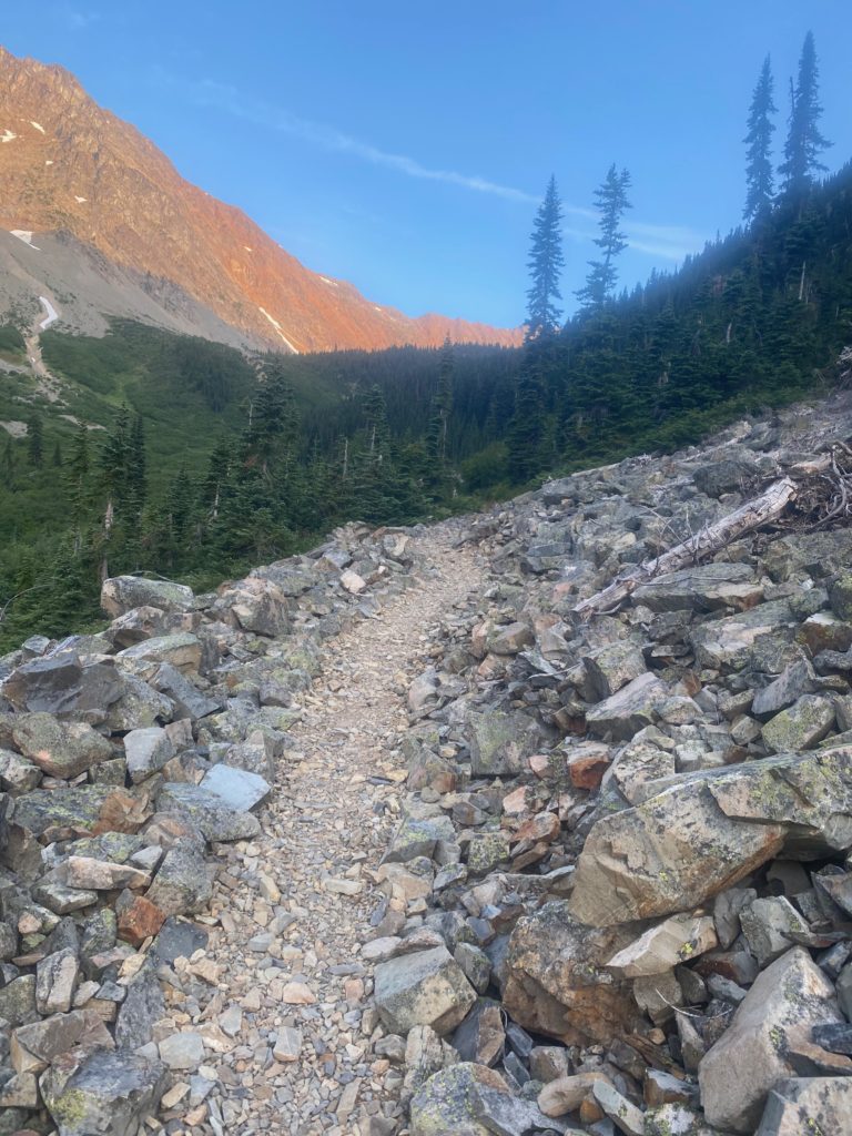
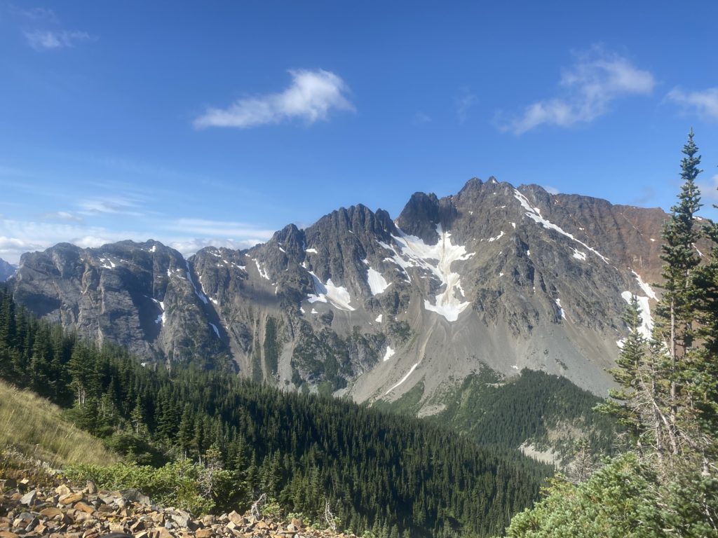
I turn around and here are some images on the way back to Woody Pass, to Rock Pass, and then to my camp site 2 miles south of Rock Pass.

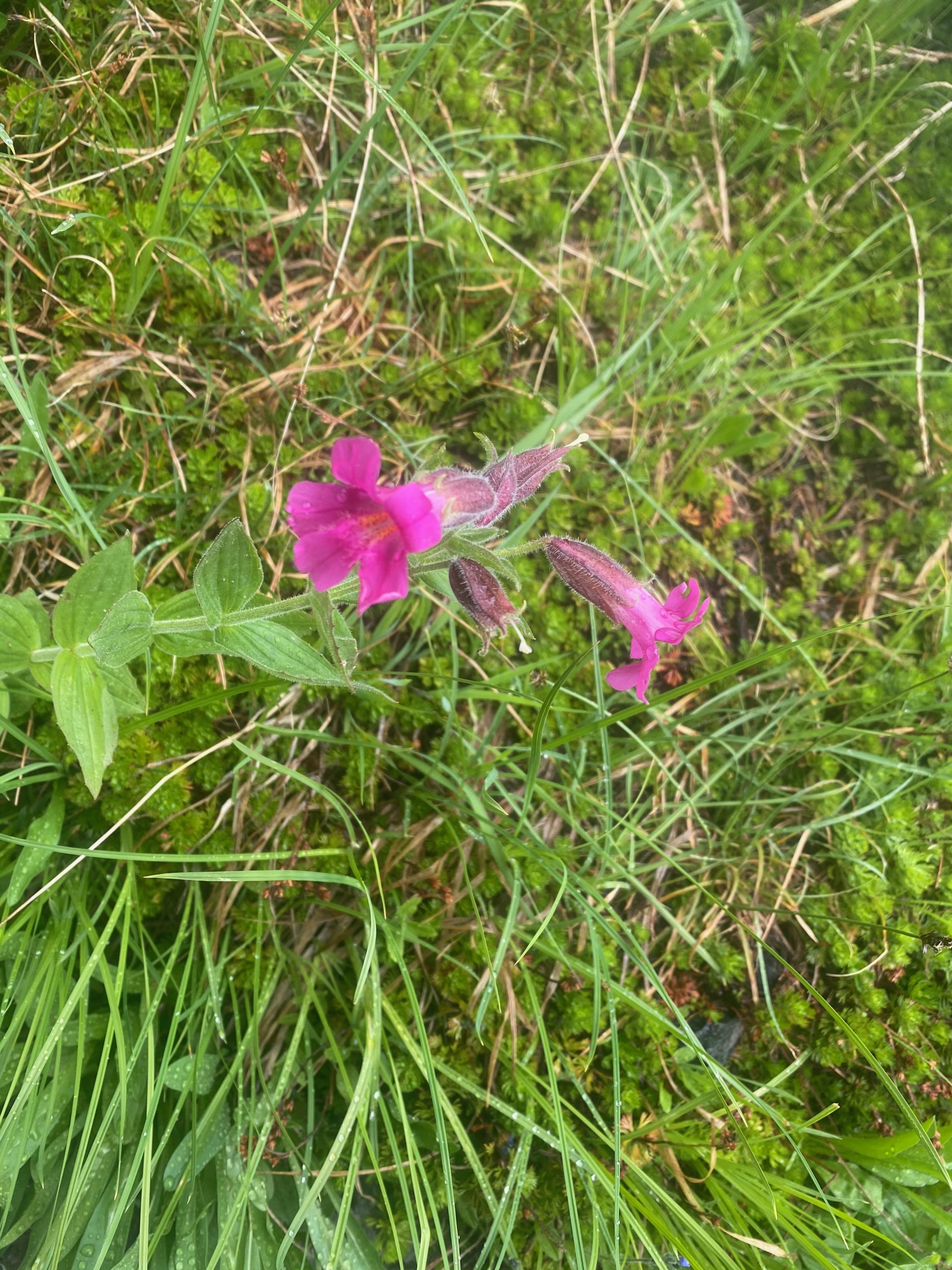
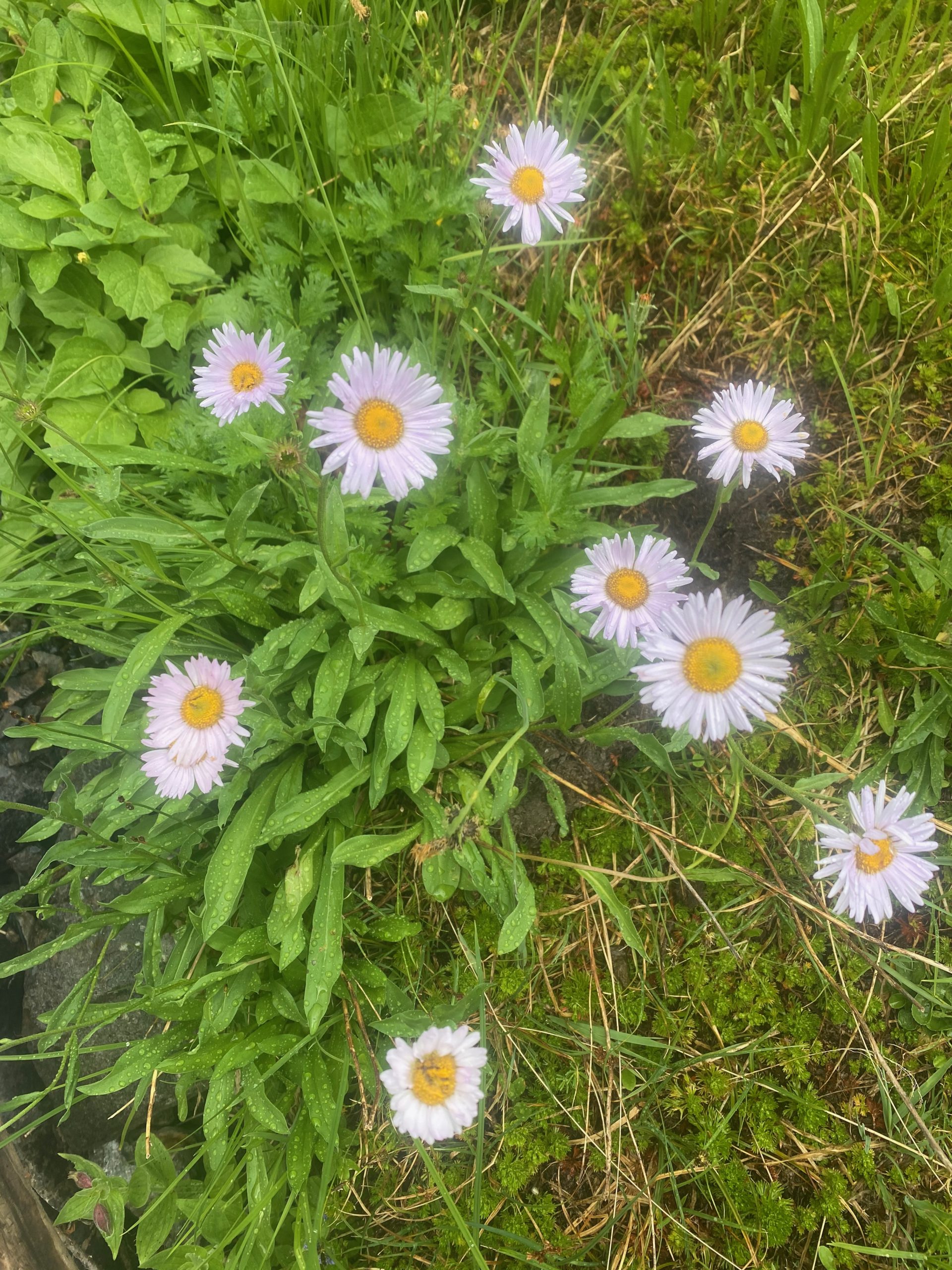
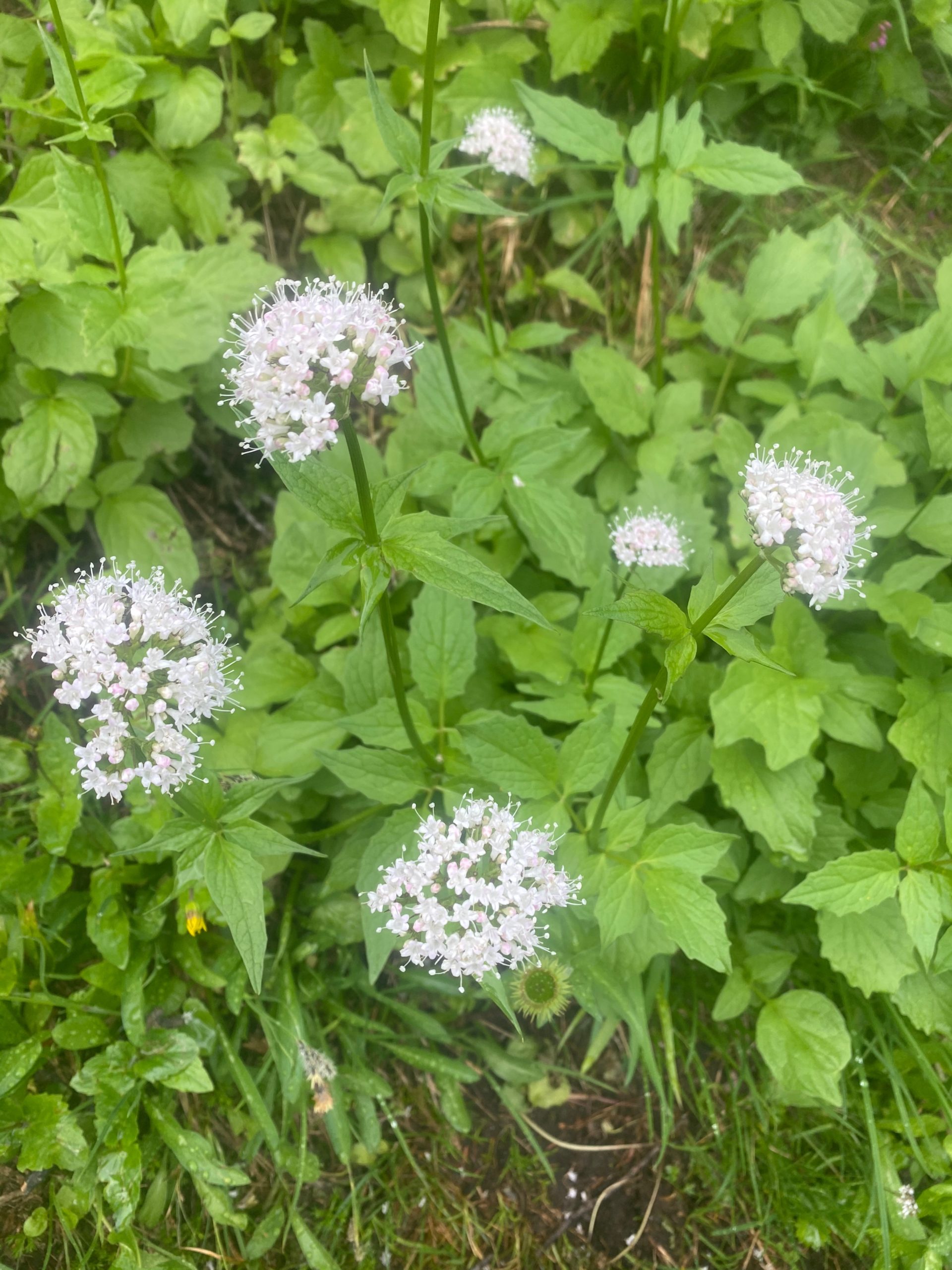
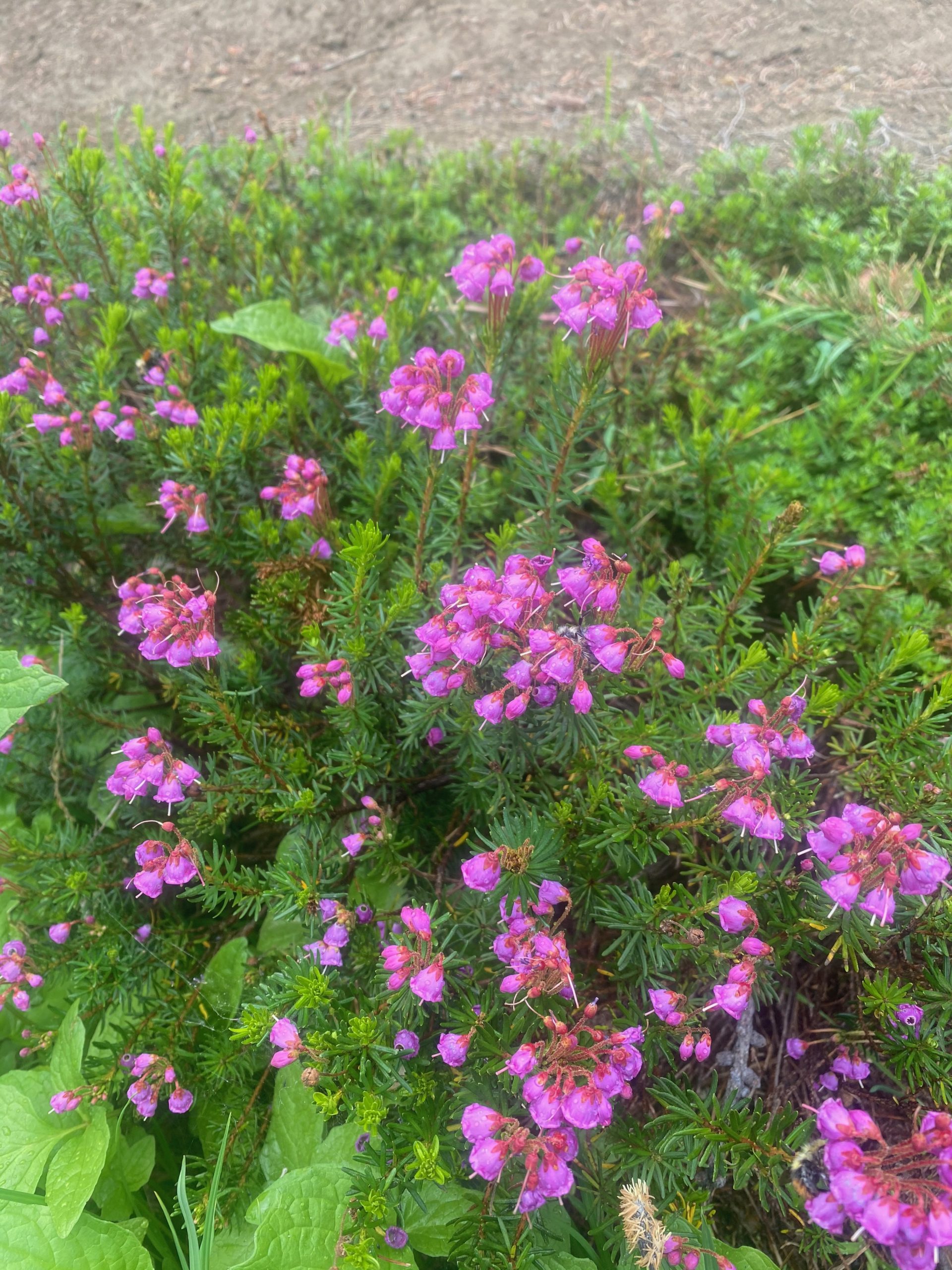
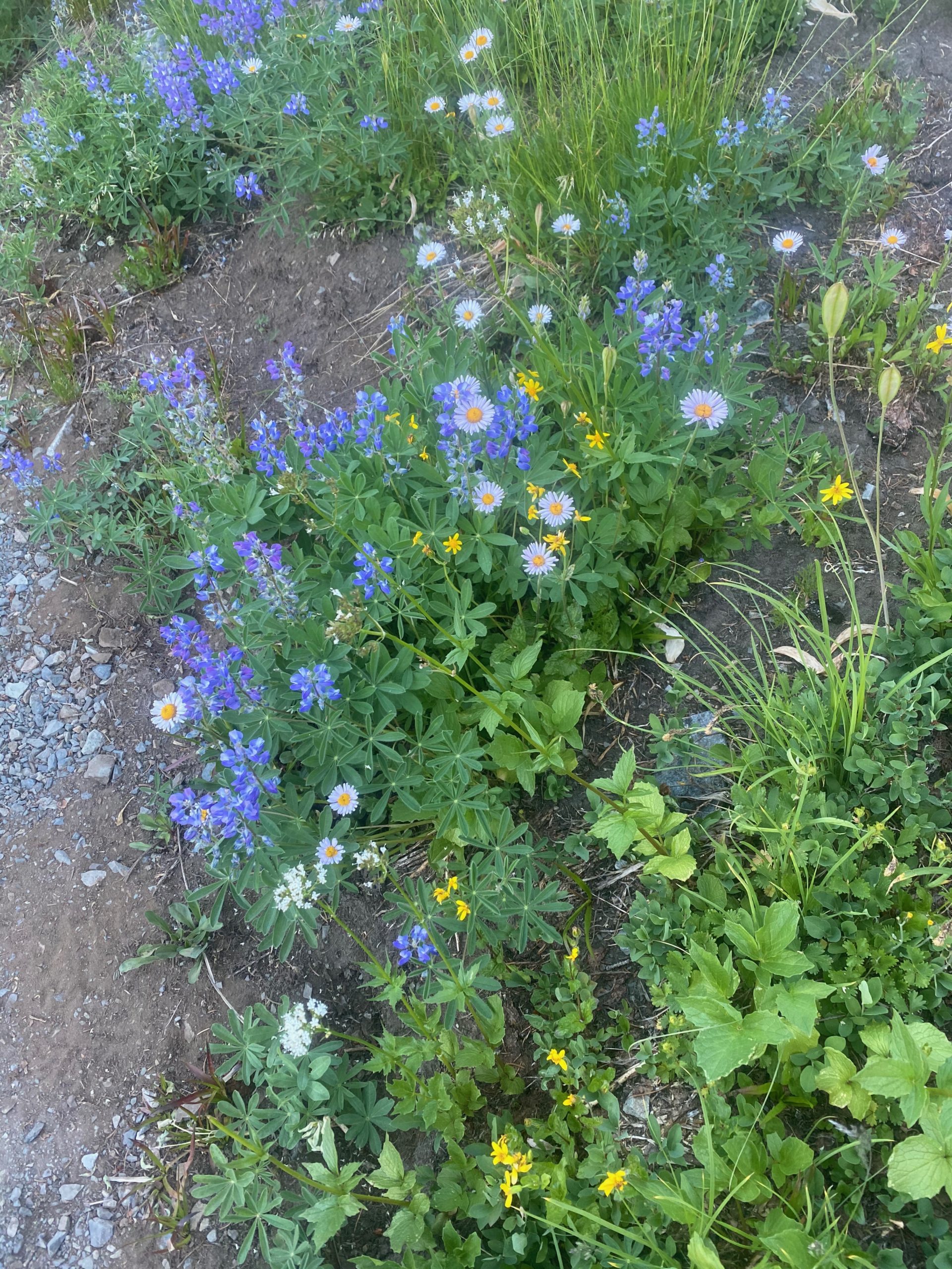
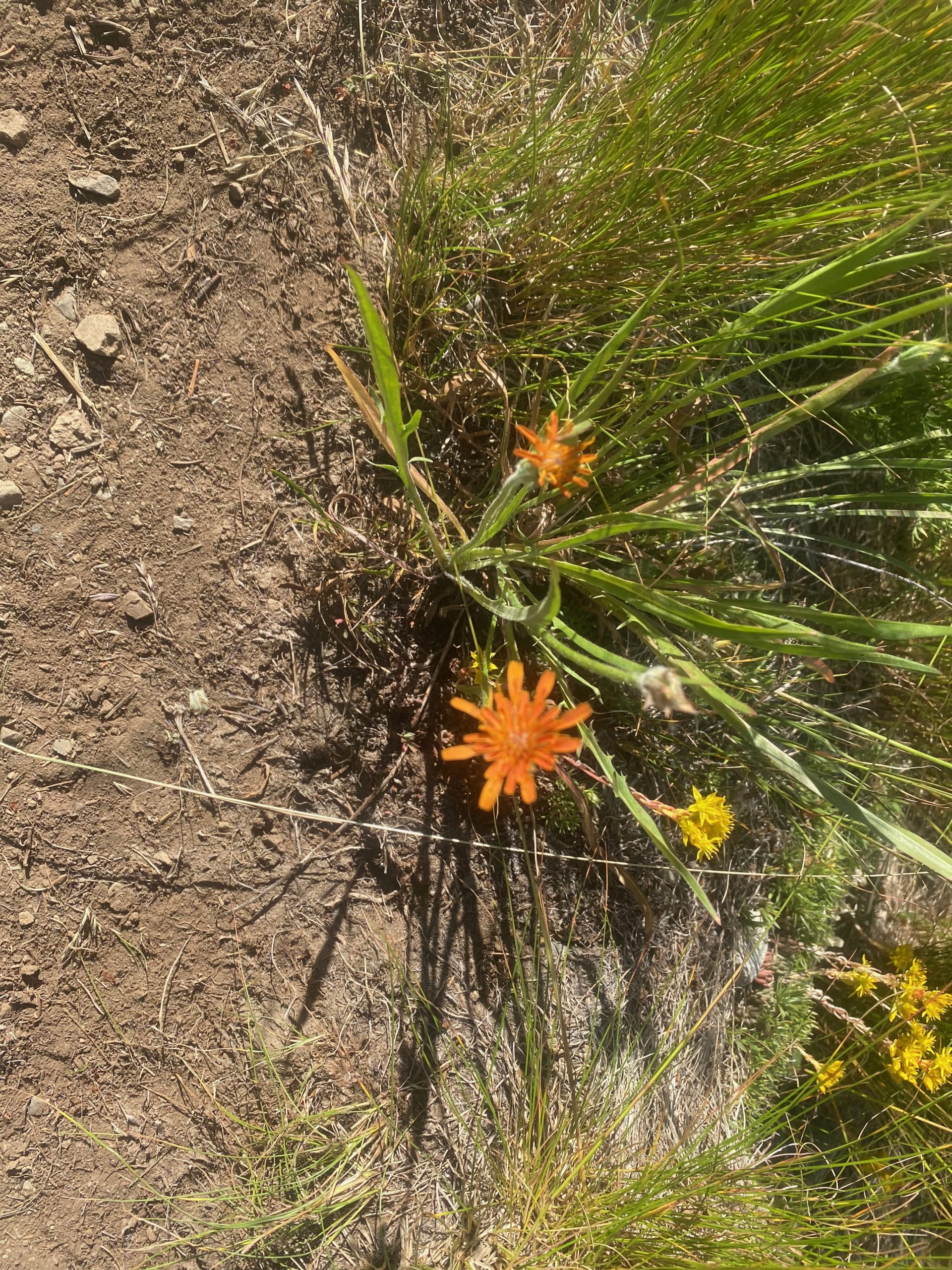
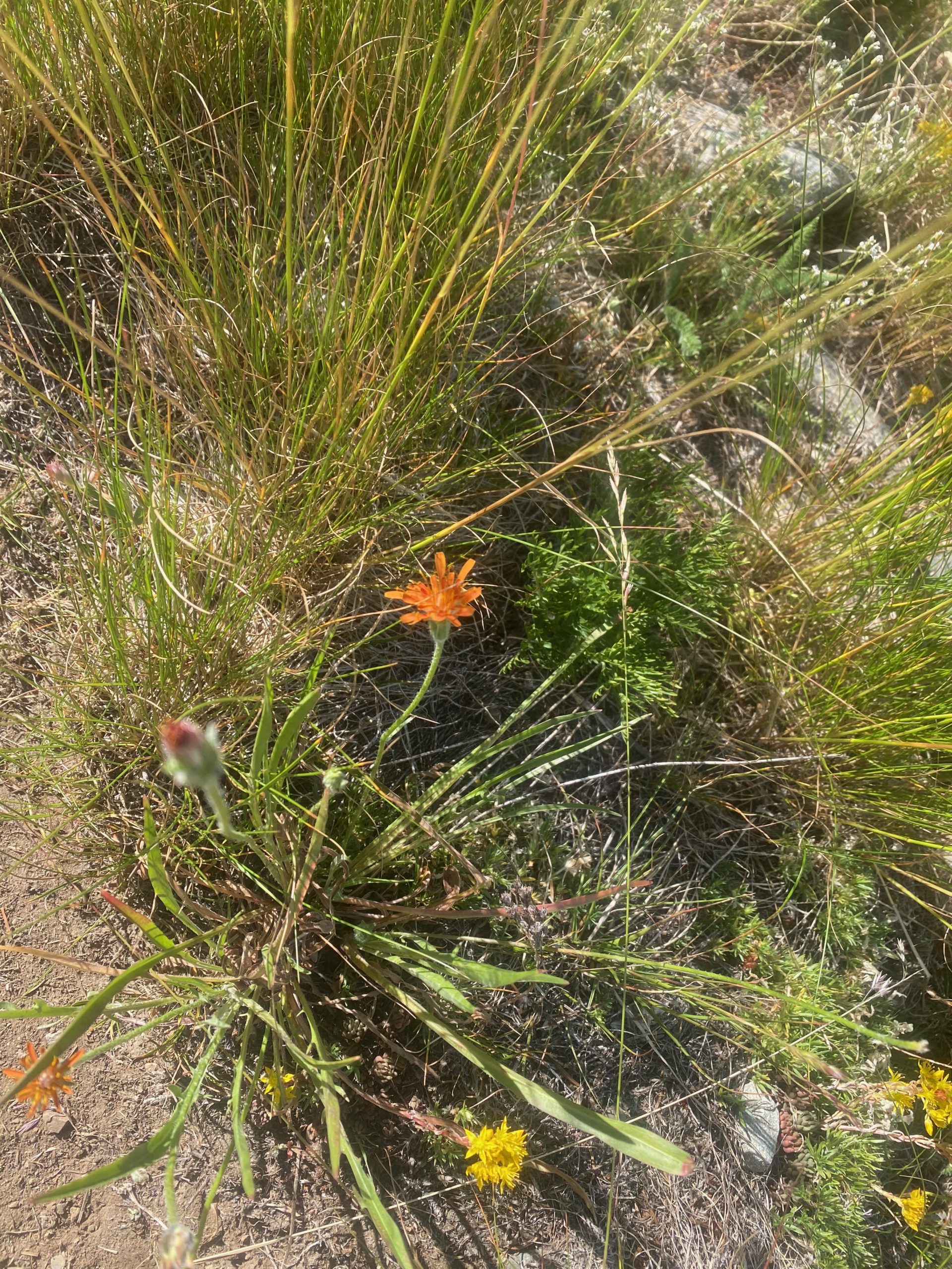
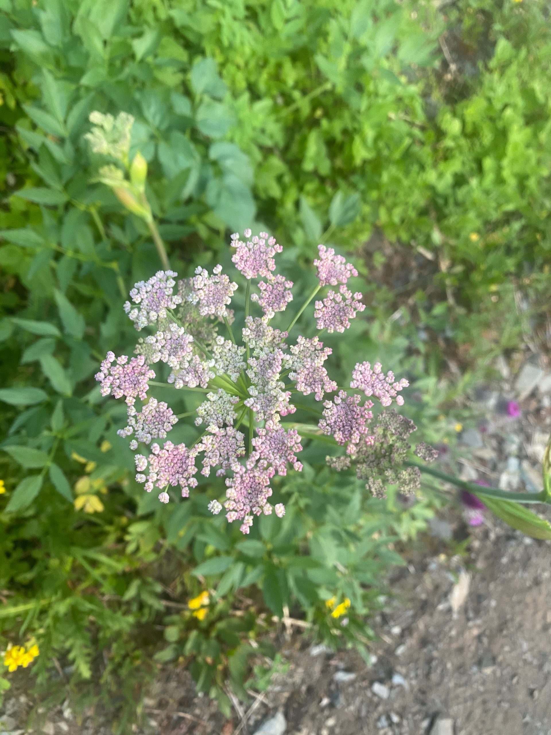
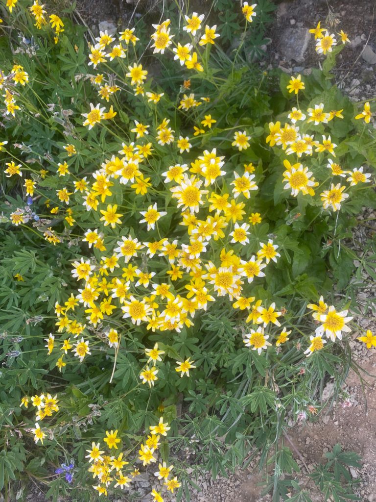
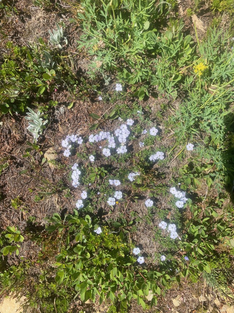
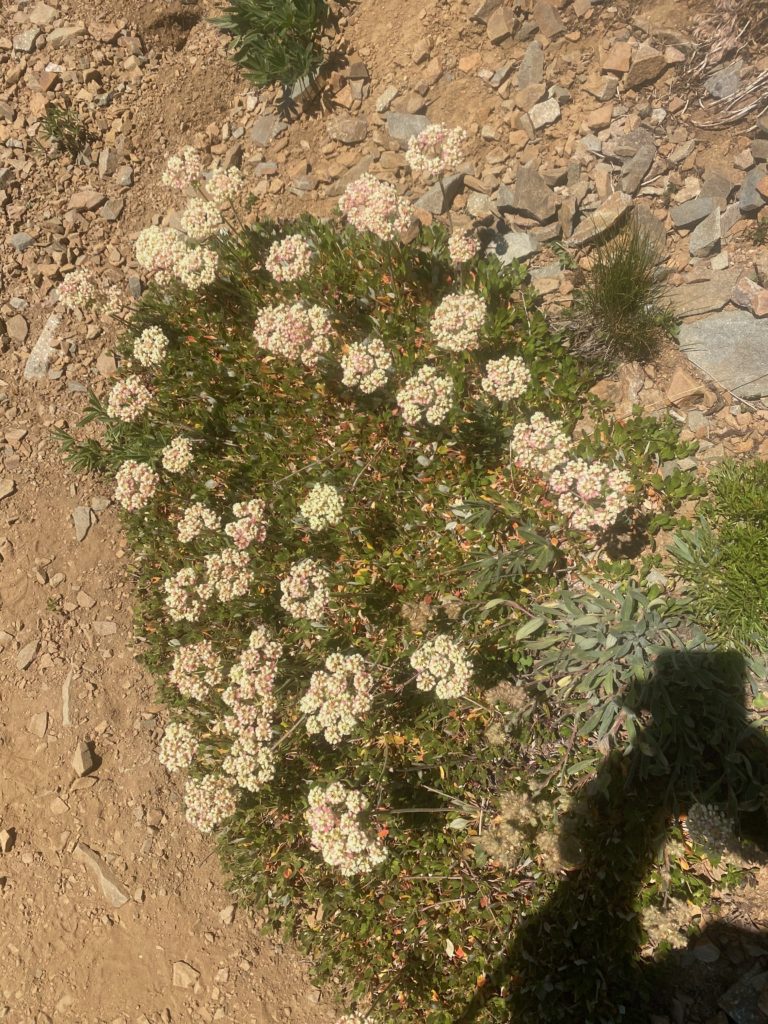
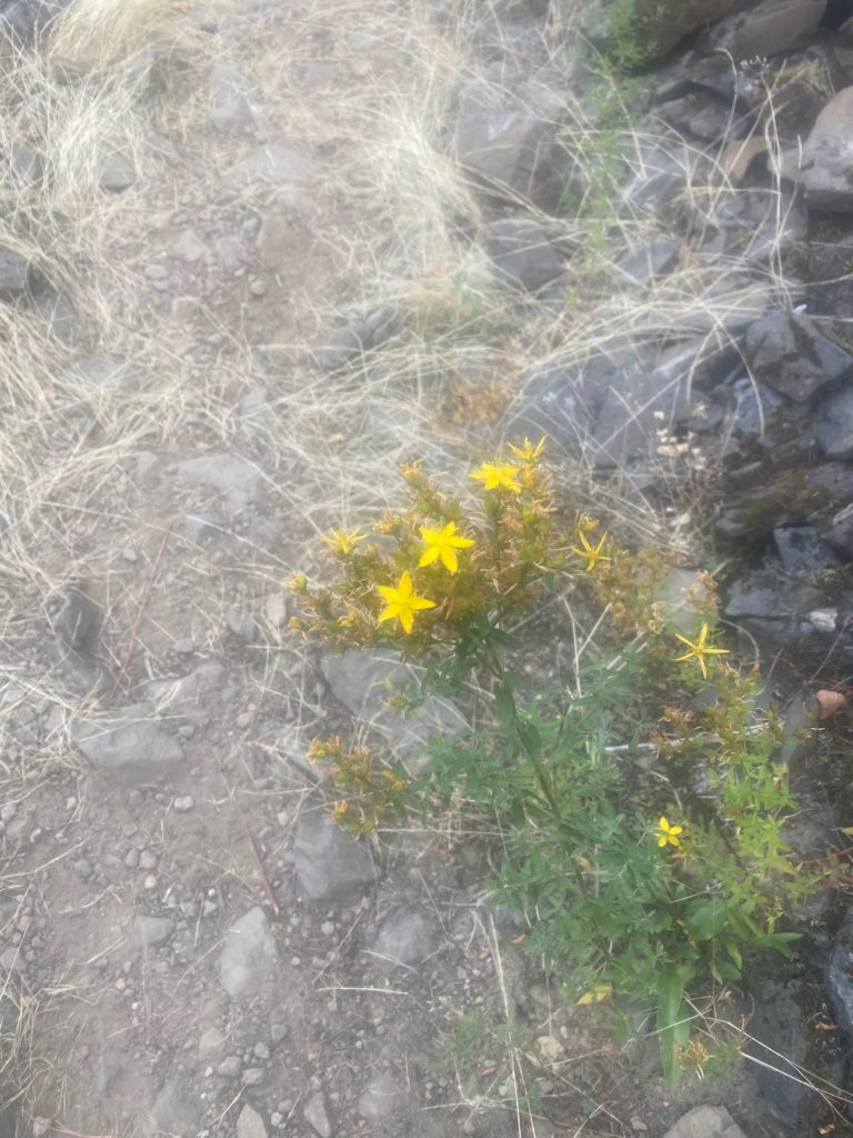
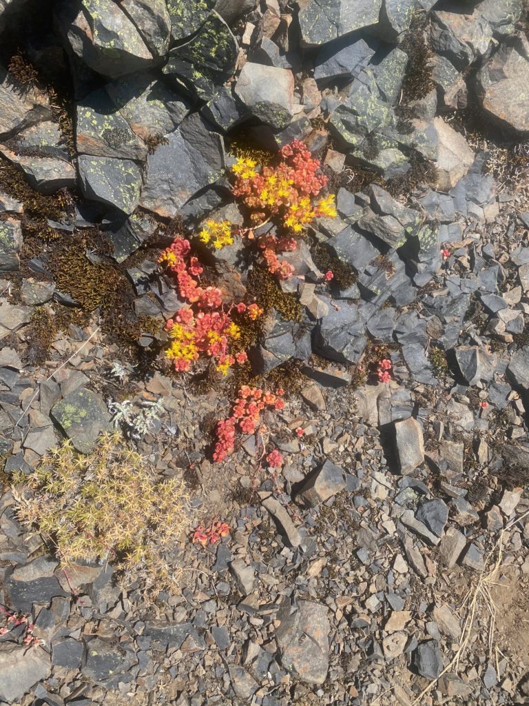
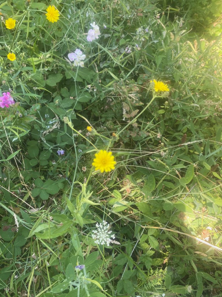
And some wildflowers seen today

Aug 18, 2020 PCT Mile 2630 to 2640

I had a really good night of sleep. If you read my posts you know that I have had a hard time eating on the trail. The first year (1700 miles) I did not have any issues but ever since then I just get nauseous at the thought of food. With Martha and Lenoras help we tried to solve that by switching up what I carry to eat. I was carrying freeze dried food that needed to be cooked. We switched that up to various pre packed tuna creations. Also added a lot of condiments like the packages you have in fast food locations. I only wish there were a Chick-Fil-A here because they have the best sauces. Then some flour tortillas to hold it all together. I also went back to using Carnation Instant Breakfast to get me going in the morning. The instant breakfast is great because it makes me hydrate before I start and really gives me a boost in the morning. Then there is some trail mix with various nuts, M&M’s, dried fruit, and yogurt chips. It is early but so far this really seems to be working.

I start off the day thinking I am really going to have a productive day. At least 15 miles in my plan. It is a nice crisp morning but not cold. I get started at about 6:15. After about 30 minutes of walking I take the 360 video below.

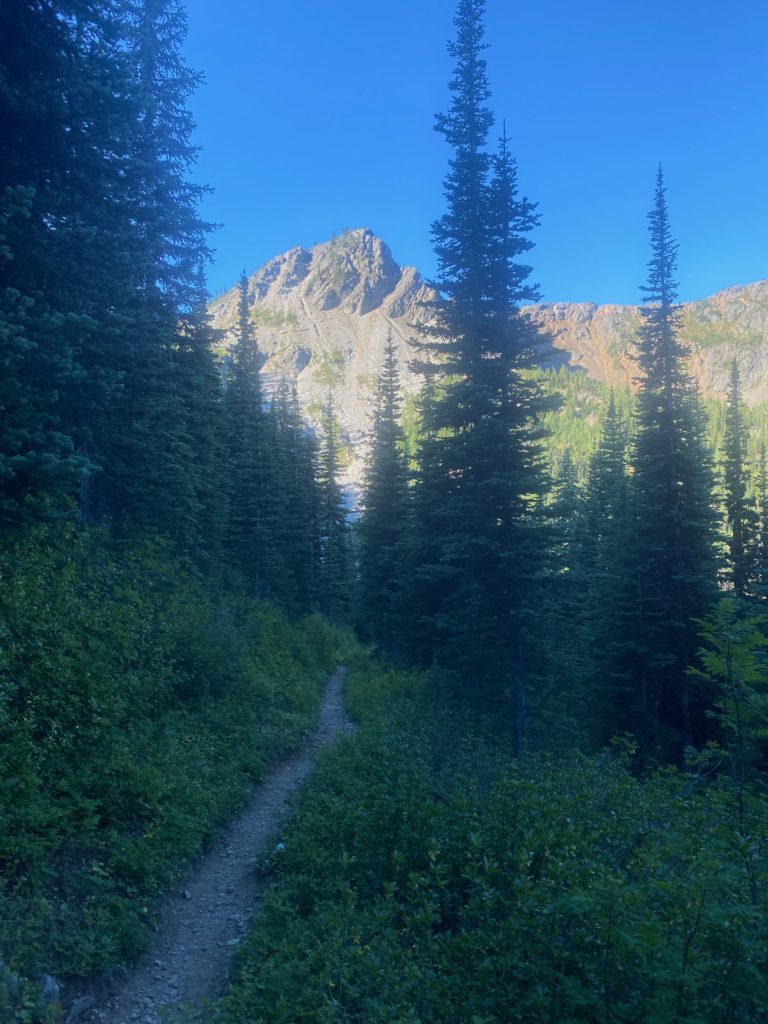
About a hour later this picture of trail and mountains

PCT 2630 to 2640. Just pretty trail and mountains

I go past Foggy Pass without even realizing I was there and hike for awhile till I get to a nice stream where I load up on water. There have been tails that water is going to get scarce the further north I get. At the stream I meet Art who is a local who just likes to hike around the Pasayten Wilderness. I entered the Pasayten Wilderness yesterday after about 6 miles. We talk for awhile and he mentions he expects to be out for about 5 days and is hiking to some peaks in the wilderness. Art and I chat for awhile and he is really concerned about water as well. He loads up and heads out and I hang around the water for awhile and have a snack. Not long after the stream I enter the area that was burned during 2018. I have a video below. It is not a big area and I’m surprised that it caused such a big detour of the PCT. The detour was 21 miles start way back near Harts Pass and going all the way to Woody Pass. Art would tell me later that not only was the PCT closed but the entire Pasayten Wilderness was shut down during the fire.

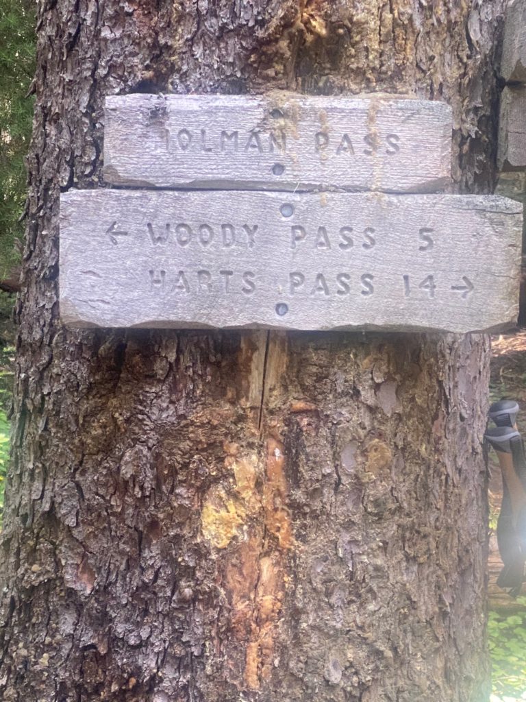
At about 10:30 I get to Holmon Pass and Art is there as well. I sit down to have a meal and Art is eating as well. This is when he tells me about the closure and other interesting facts. Like that the town of Omak has the only stop lights in all of Okanogan county. Brought up because I indicated I needed to get new hiking boots and he told me Omak was the place to do that. A couple PCT hikers came through at this point. Returning from the border and they told us that in 1.6 miles there was a stream and there was no water past that. I just took what they said at face value and did not check out its validity until later. From Holman pass there is a 3 mile, 1500 foot ascent to Rock Pass and then another couple miles to Woody Pass.

PCT 2630 to 2640. Woody Pass is probably my destination

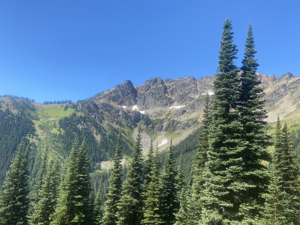
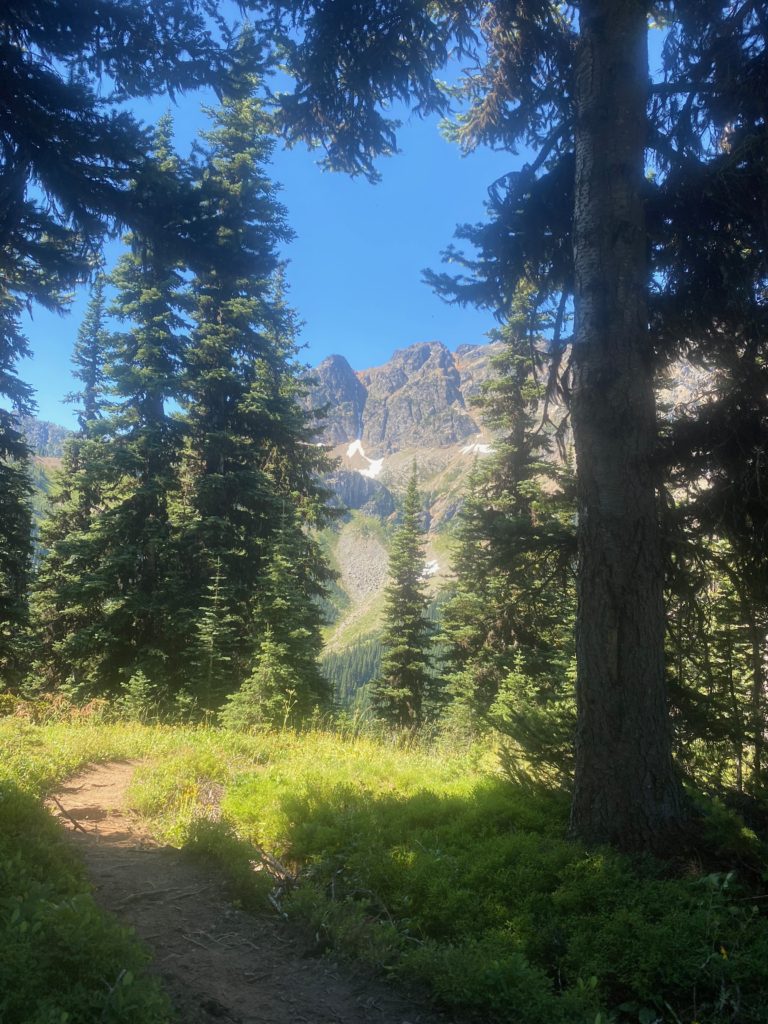
I start the ascent and get to the stream at the 1.6 mile mark and make sure I have filled with water internally and loaded up with water in my 2 2-liter containers. Here are a couple pictures on the way up to Rock Pass.

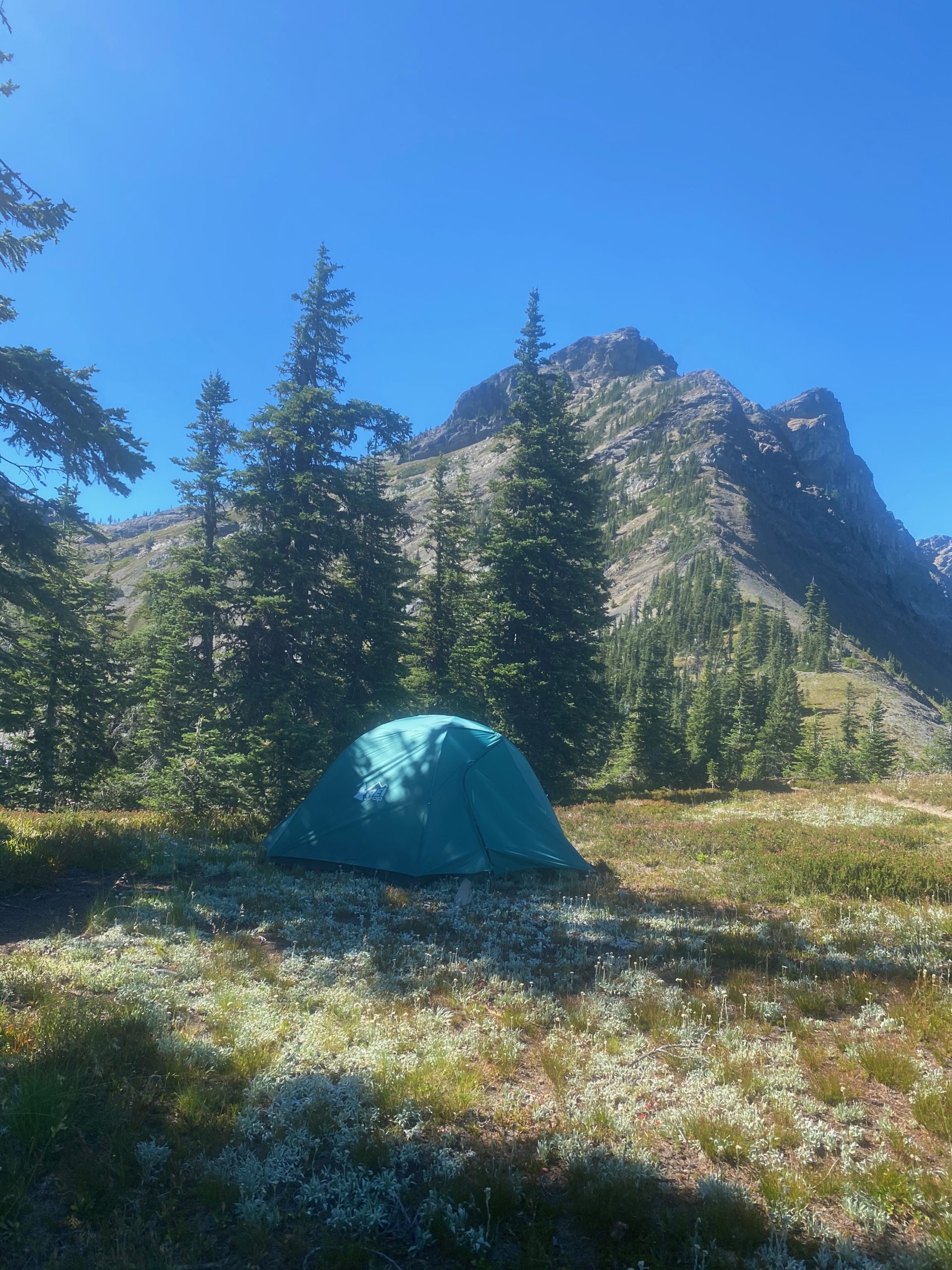
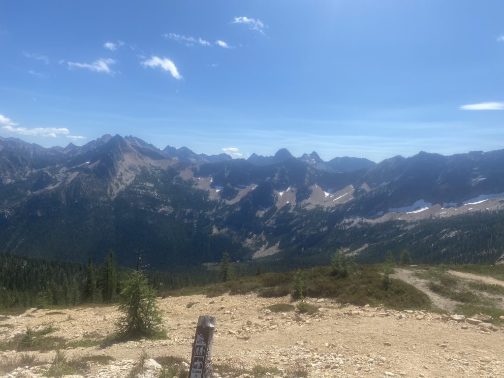
When I get to Rock Pass and can see the path to Woody Pass I decide to set up camp on Rock Pass. Woody Pass is only 2 miles away but involves a descent into the valley and then ascending back up to Woody Pass. Turns out it did not always involve a descent and ascent as the old trail just was a ledge across the rocks from one pass to the other. Apparently it got impossible to maintain the trail on the rocks and so the trail was rerouted down and back up. It is early in the afternoon but the thought of water worries me. After setting up camp, I decide to take a good look at Guthook and see what it has to say. It is obvious that I either misunderstood the hikers or ….. or ….. well I don’t know. I must have misunderstood because there is water up ahead including a full lake full of it :). There is also a sure water spot just before the Canadian border. That takes a load off my mind. Here are some views from Harts Pass. I have a lot of time at Harts Pass and I just hang out and admire the views and eat. The new food plan is definitely working. I’m feeling great and have plenty of energy.

Aug 17, 2020 PCT Mile 2623 to 2630

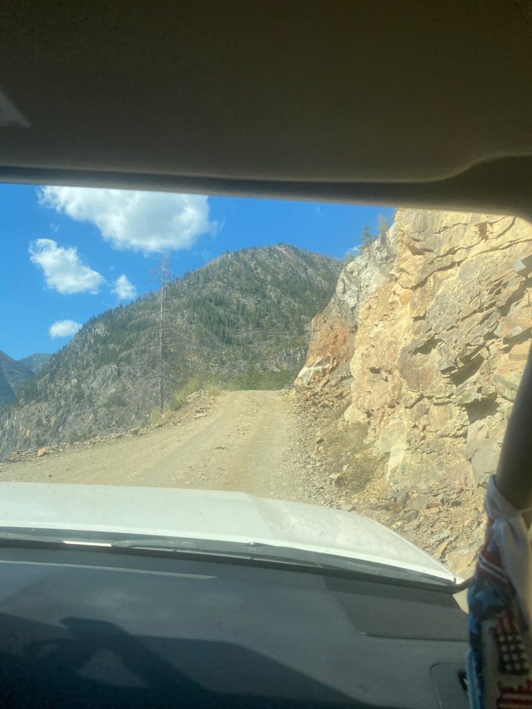
Time to get back on the trail and hopefully to the Canadian Border. The road up to Harts Pass is a 10 mile winding road that is very rough at times. For a half mile on the road it is only wide enough for one car with rocks on one side, shear drop-off on the other. The car coming down has to yield the right away. During the half mile there are probably 3 points where a car can pull over to the far right (coming down) and the car going up can get past. Stress filled 10 miles and particularly the narrow half mile.

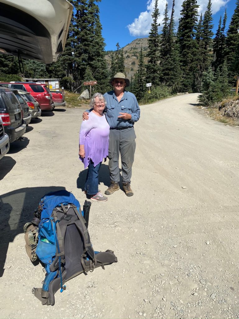
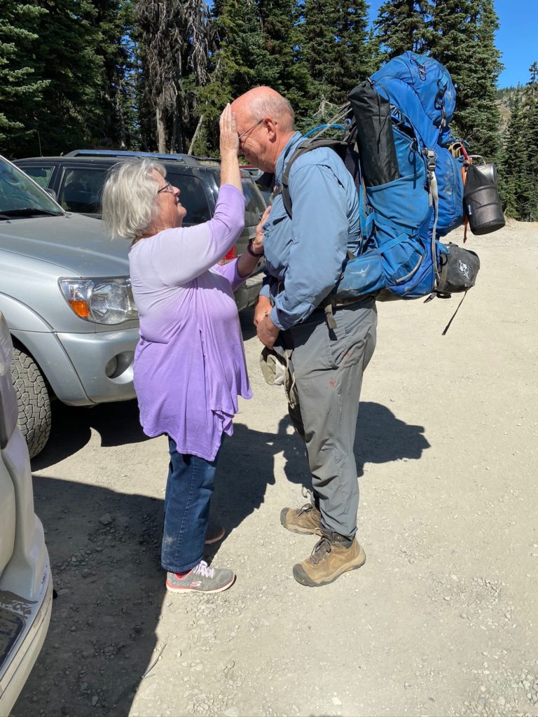
We reach Harts Pass around 11:30 and I get ready to go. Each time before I go on the trail, Lenora gives me a blessing. It is a very special time always makes me emotional but gives me confidence that I will be safe and make good decisions.

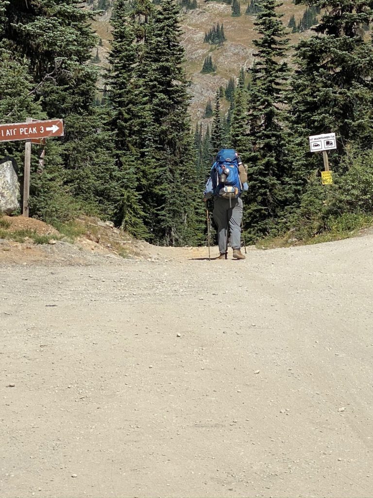
About .4 miles from Harts Pass there is both a beautiful little campsite and the stream that has a good flow. I don’t need either but it is a good way to start the hike. It is a beautiful day for hiking. Temperature is about 84 with a nice breeze. About a mile into the trail I get to a point where there is an option to continue to follow the PCT or to use the fire detour that was created for the 2018 file (one of the fires that took me off the trail that year). I have comments on Guthook (trail application I use) that indicate there is no need in 2020 to use the detour and in fact the detour trail has not been maintained. So I continue on the normal PCT Trail.

Harts Pass is a very popular spot and there are lots of local people out for a hike and some of them are setting up camping sites. Probably busy even without the fact that COVID has a lot of people not working and therefore recreating. The trail thus far has been nice.

PCT 2623 to 2630. Nice trail here. Level and solid dirt under foot

At about 1:10 I get to Windy Pass. Not particularly windy at the moment but there was a good breeze along the way.

PCT 2623 to 2630. Windy Pass

Too early to stop and I’m eyeing a camping site about 3 miles ahead. I cross a couple creeks before I get there and usually stop to take a drink with the Lifestraw. The Lifestraw is terrific as it allows me to just take a drink of water directly from the stream. That way I can save my bulk filtered water for camping needs.

PCT 2623 to 2630. Looking back from a creek when I stopped to rest

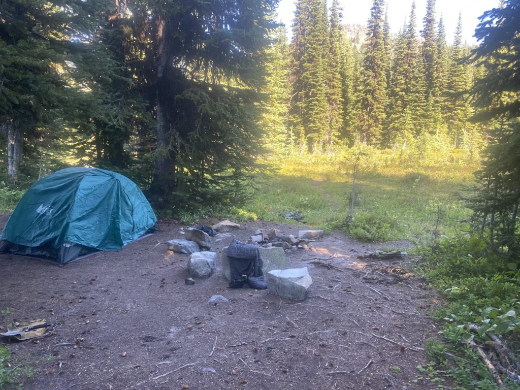
I stop around 5 pm and have done about 7 miles. Pretty easy day. The camp site is a little off the trail and I went past it just a bit before I realized I had past it up. Only had to backtrack less than a tenth of a mile to get to it. Nice level campsite with a stream running right past it.

Aug 12, 2020 PCT Mile 2610 to 2623

If you look at the video of my campsite from yesterday you can see that my tent was protected from wind. Perhaps that is why the evening did not seem as cold and I only slept in my normal sleeping clothes rather than 2 layers. However in the morning when I got up I could tell it was actually colder. I got up earlier than I have been because I have a lot of climbing to do and I wanted to do it during the cool part of the day. As it turns out most of the day was pretty cool. I got started about 5:30 in the morning and I have about a 2700 foot ascent to make over about 5 miles. I go up to Glacier Pass and continue up to Grasshopper Pass. I have normal hiking clothes on with the Patagonia jacket and the waterproof gloves. I’m comfortable. By the time I get halfway (which is Glacier Pass) I figure I will rest and perhaps have a snack. However 5 minutes after taking off the gloves, my fingers and particularly my thumbs are hurting from the cold. I cut things short and get the gloves back on and start hiking again to get the blood pumping. After about 30 minutes my hands stop hurting and everything is back to normal. I reach the top about 10:30. So 5 miles in 6 hours. Don’t think I’m getting much faster BUT I did stop a bit just to admire the view rather than to catch my breath (although there was plenty of that as well).

The trail just past Brush Creek was pretty overgrown and sometimes with very tall plants. If it had rained one would be drenched from head to foot just from rubbing against all the plants overgrown on the trail. Pretty though huh?

PCT 2610 to 2623 There is a trail under all that

Have to cross a couple rock fields on the way up. Still this is a nice level path with small rather settled rocks to step on.

PCT 2610 to 2623 Walking among the rocks
PCT 2610 to 2623 Nice forest trail

The video below was taken about 9am. I am past Glacier Pass and perhaps a little better than halfway up to Grasshopper Pass. I just wanted to capture the view.

PCT 2610 to 2623 Just a look around

Pretty close to the top at this point and was sitting on the trail to capture some breath and rest my back and just staring at the mountain across the valley. This part of the mountain has been in the sun all morning and I’m just starting to get some sun on my part. I figured there would be some melting going on over there but it is not obvious there is any water coming off that snow. You can see where the melt has probably run before but I can’t see anything with the naked eye that is happening now.

PCT 2610 to 2623 Majestic

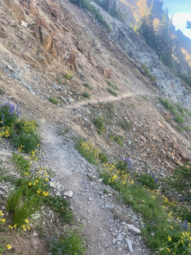
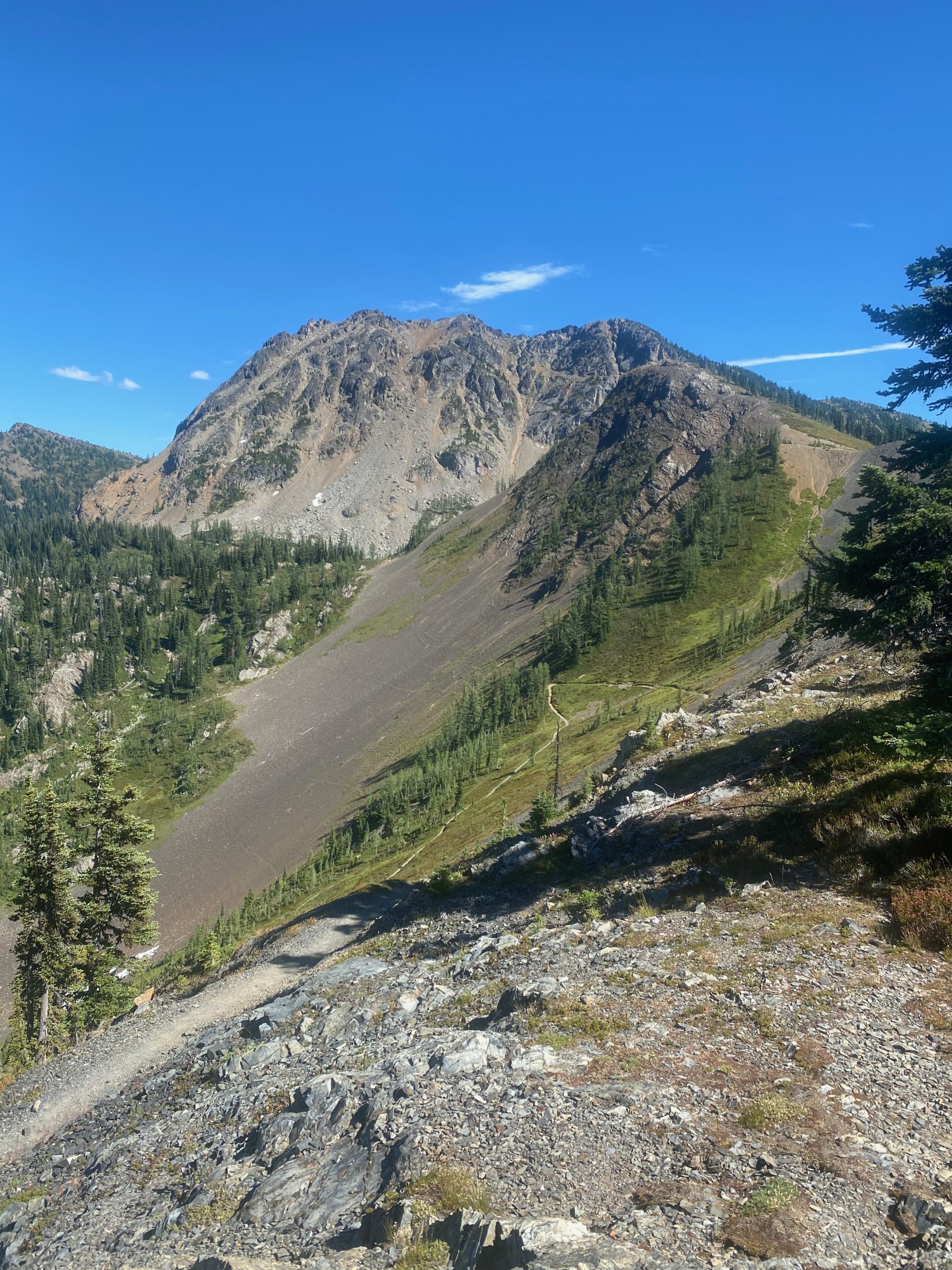
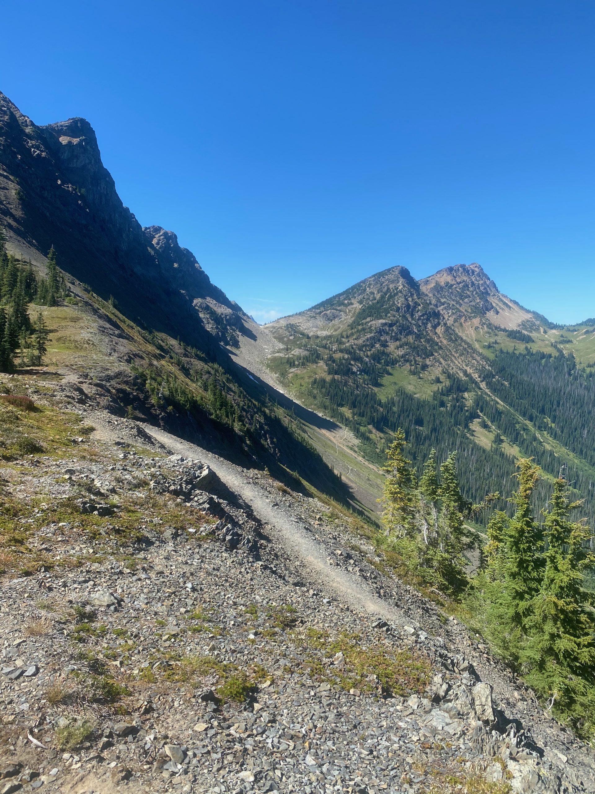
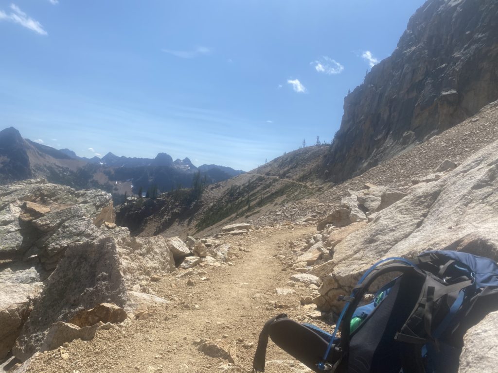
This picture below is taken after I reach the top and you see how the trail runs along the side of the mountain up here. When I get over there the trail is as narrow as it gets and slants from left to right and is loose sand and pebbles. I did not have fun walking across that section and many more like it.

PCT 2610 to 2623 A look at the trail ahead.

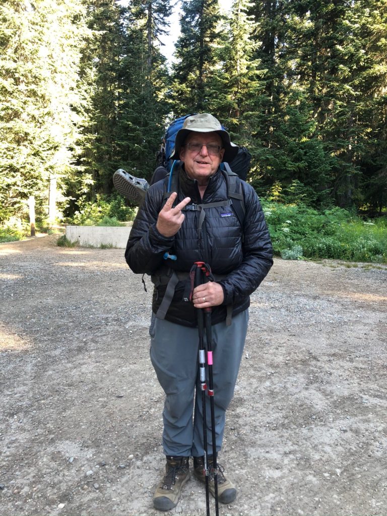
A little bit past Grasshopper Pass I met an “old guy” (77 haha). I did not get his name so he is just the old guy. He likes to hike the PCT but only the Washington PCT. Said he was not interested in doing Oregon or California. We talked about the aches and pains of hiking at this age. He said this was probably his last hike because it upsets his wife when he goes out. They use to hike together but she got arthritis and had to give it up. So now when he goes out, she cries. Very sad actually. He suggested my eating problems might because of elevation but I don’t think so. I don’t remember having any elevation problems through the Sierra’s at almost twice the elevation. We had a nice talk from about 20 feet away and he wore a mask. I keep mentioning the masks because I just do not understand!!

I mainly took the photo below because if you look real close and perhaps expand the picture you can see a crescent moon just to the right of the highest peak.

PCT 2610 to 2623 Just a look at the mountains on the other side

The trail from Grasshopper Pass to Harts Pass is relatively easy. Go up to slightly above 7000 feet at one point but then descend to Harts Pass. I was going to get resupplied at this point but rather I am going off the trail again. About 30 minutes before getting to Harts Pass I had back spasms and had to stop and take of the pack and try to stretch it out. I also neglected to cut my toes nails before starting this hike and my little toe is attacking its neighbor and has gashed it up pretty good. It’s always something 🙂

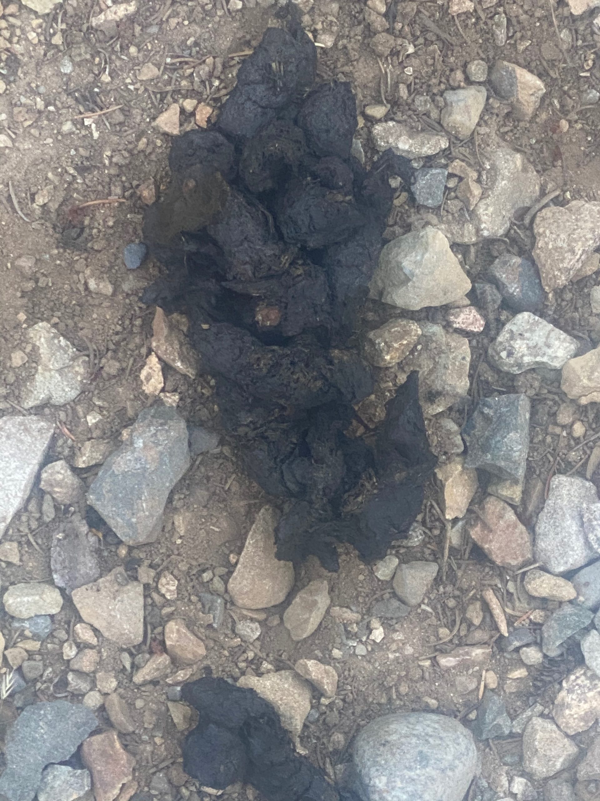
There have not been any large animals spotted while on the trail. Yesterday just before Brush Creek there was bear scat and a bear track (single) on the trail. So, they are about. Off the trail we have seen many deer, 1 bear, and mountain goats.

I’ll be back to do the 30 miles to the border and the 30 miles back to Harts Pass. The way I am hiking that will take 6 to 8 days. After that it will be back to Rainy Pass and head south.

Aug 11, 2020 PCT Mile 2601 to 2610

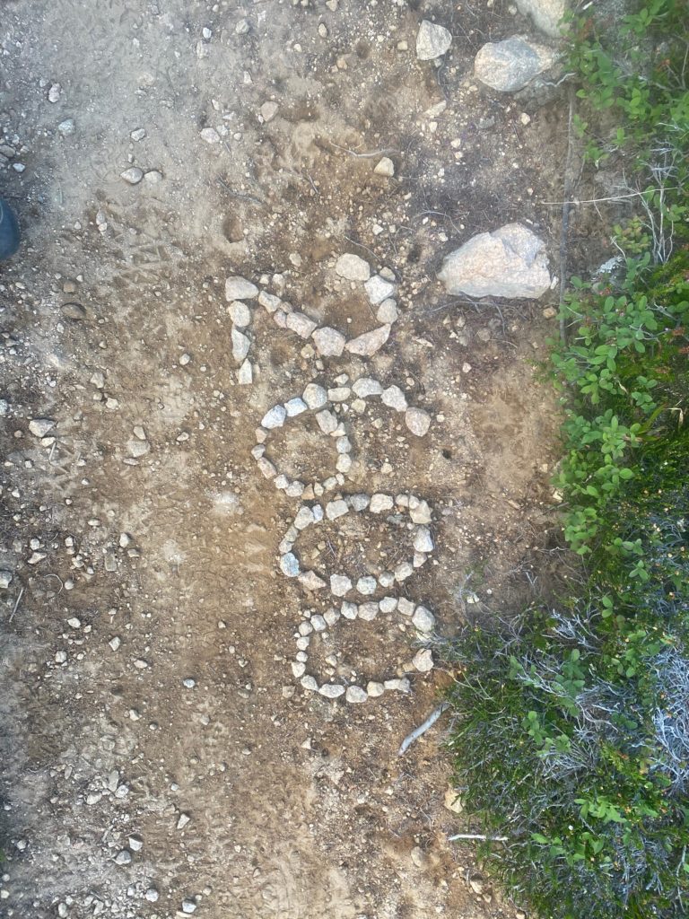
It was a cold night. I wore two layers of clothing but was not uncomfortable in the sleeping bag and tent. Just really really really did not want to get out of the sleeping bag in the morning. I did manage to get started by about 6:40am. I get back on the trail and immediately see the 2600 mile marker someone made as shown in the picture below. Not exactly 2600 miles this year but really close enough an it was fun to see. The exact mileage of things changes each year because of changes in the trail. That piece of work looks pretty recent to me however.

The morning is cold and I remain in two layers of shirts and the miracle Patagonia jacket and gloves to start the hike. By the time I reach Methow Pass about 8am I am warm enough to remove all extra layers.

PCT 2601 to 2610 Start the day and see this. Nice someone would take the time

About 40 minutes into the day I decide to take a little video of my surroundings. Beautiful. I was told by one of the locals that this area is pretty but the area north of Harts Pass to the border is even more stunning. The boulders in the picture below are just before getting to Methow Pass.

PCT 2601 to 2610 Just a look around
PCT 2601 to 2610 Impressive boulders by trail
PCT 2601 to 2610 Just pretty

From Methow Pass it is a steep descent to Golden Creek and the Methow River. This descent was very hard on my back but at least my hip seems to be able to handle it now. However, I will stopping pretty soon as the back gets more and more tender. It will be an early day. I did stop at Golden Creek and ate some macaroni and cheese. It went down pretty good and I was happy about that. Speaking of Methow, the name of the river and the pass comes from the Methow Native Americans. For more info see: https://en.wikipedia.org/wiki/Methow_River

PCT 2601 to 2610 Methow River

So I ended up stopping at Brush Creek at about 2pm. Very early but my back is sore and the next possible site is too far away and from Brush Creek there is a steep ascent to Grasshopper Pass.

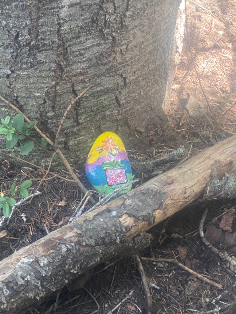
When we ate at the Pastime Brewery in Oroville the waiter gave me a painted rock and asked me to place it somewhere on the PCT for someone to find. Decided to plant the rock here at the Brush Creek campsite.

PCT 2601 to 2610 Placing the painted rock got from Brewery in Oroville

The video below shows my campsite and surrounding area. While I was making the video another hiker arrived and waited for me to complete. She is actually in the video. She would not proceed until I got off the bridge. So I backed off the bridge and got off the trail a bit and then she put on her mask and crossed the bridge and went past me. I had another meal here of oatmeal and fruit. 2 meals in one day is a record. I knew I would need fuel for the next day because after Brush Creek a rather long and steep ascent looms.

PCT 2601 to 2610 My camp site. Notice cameo by unknown lady hiker
  • Miles: 9
  • Steps: 21334
  • PCT Mile: 2610
  • Elevation: 4307
  • Location: https://w3w.co/vindicated.pulp.serving

Some wildflowers seen along this part of the trail

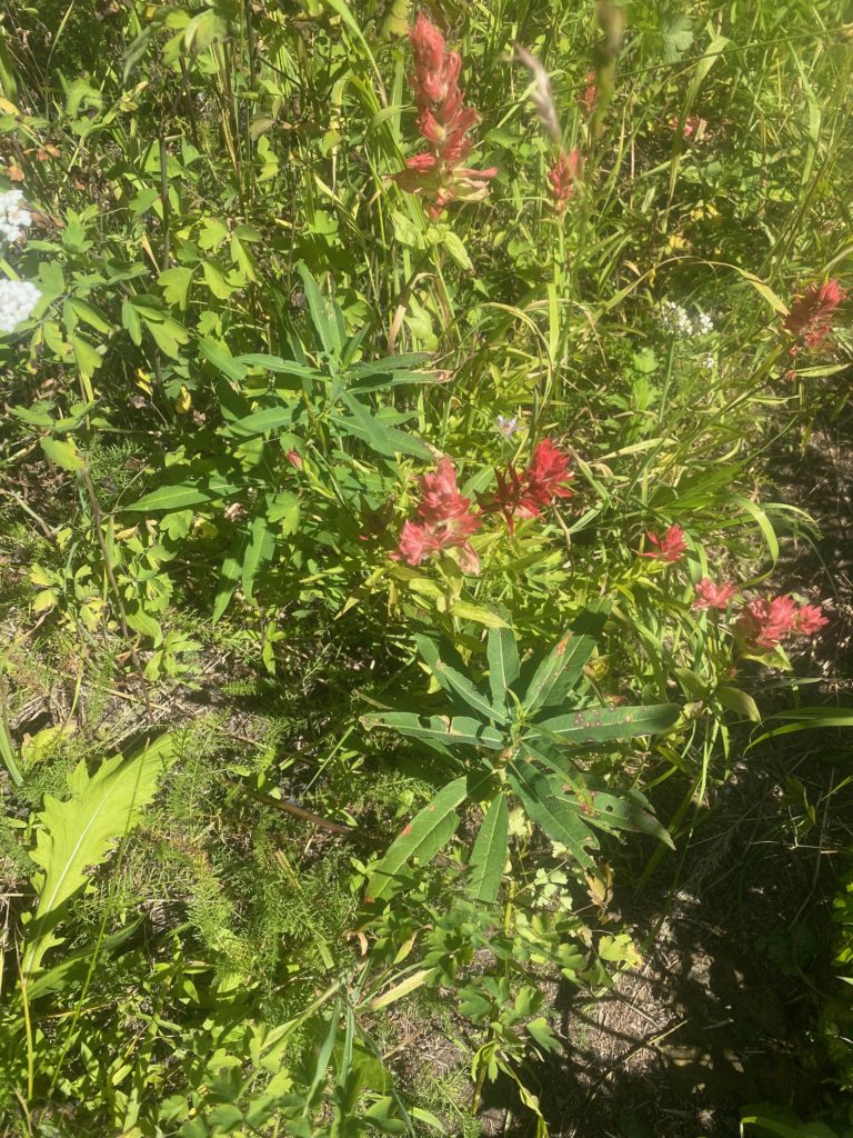
PCT 2601 to 2610 Giant red Indian Paintbrush
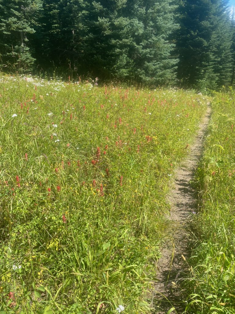
PCT 2601 to 2610 Field of flowers
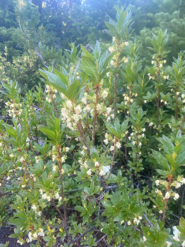
PCT 2601 to 2610 Indian Plum

Aug 10, 2020 PCT Mile 2591 to 2601

So some adjustments were made to what I am taking with me and my pack is now a manageable weight of probably 45 pounds. Only going to carry 3 days for food and then Martha and Lenora will resupply me at Harts Pass. To make that possible we are moving up north and a LOT closer to the Oroville base home. This second send off will start at Rainy Pass, which is about 2.5 hours from Oroville. Plan is to hike to Harts Pass (30 miles) and then get resupplied and go to the border and back to Harts Pass (60 miles). That’s the plan 🙂 It is colder up here as a cool front has moved in. About 45 degrees at the start of the day. So I started out with the coat on but that got removed with a couple miles.

PCT 2591 to 2601 The second send-off

So not very far up the trail I come across the waterfall shown below. Really beautiful.

The views are spectacular and I can’t help but notice that there is snow in them there hills. Not sure if it reaches down to the trail or even if I heading towards those hills. Turns out those mountains are on the opposite side of the valley from where the PCT runs

PCT 2591 to 2601 Bit of snow up there

So of course the trail starts out ascending and eventually get to Cutthroat Pass where there is a sign to let me know I am still on the trail. Pretty view of the mountains from here. Cutthroat Pass (7000 feet) is a little over 5 miles from Rainy Pass (5000 feet). Started at 9am and got to Cutthroat Pass at about 1pm.

PCT 2591 to 2601 Always good to know you are on the trail
PCT 2591 to 2601 A look from Cutthroat Pass
PCT 2591 to 2601 A look back from a wide part of the trail
PCT 2591 to 2601 A look ahead
PCT 2591 to 2601 A look out

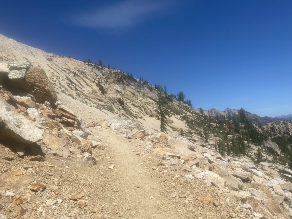
Once you get past Cutthroat Pass the trail levels out but is like walking on a ledge on the side of a building. The trail is narrow and tripping is not an option. Apparently nobody trips because if you go over the edge there is nothing to stop you from basically falling down a mountain. When the trail is hard dirt or rock there is really no worry. However when the trail becomes loose and pebbles, is narrow, and is slanted to side toward sure death it is a different matter. I’ve always thought the books I read about the PCT overplayed the dangers of the trail because until now I have never felt threatened on the trail. However these narrow loose pebbled ledges did give me some concern. I have no idea how this could be traversed in snow or even in rain. Obviously it is done by thousands of hikers each year.

All the people I’m seeing are local hikers and all of them wear a mask to pass me. Just so strange. I’m not wearing a mask. I have one just in case there is some issue but I don’t wear it when just passing someone on the trail.

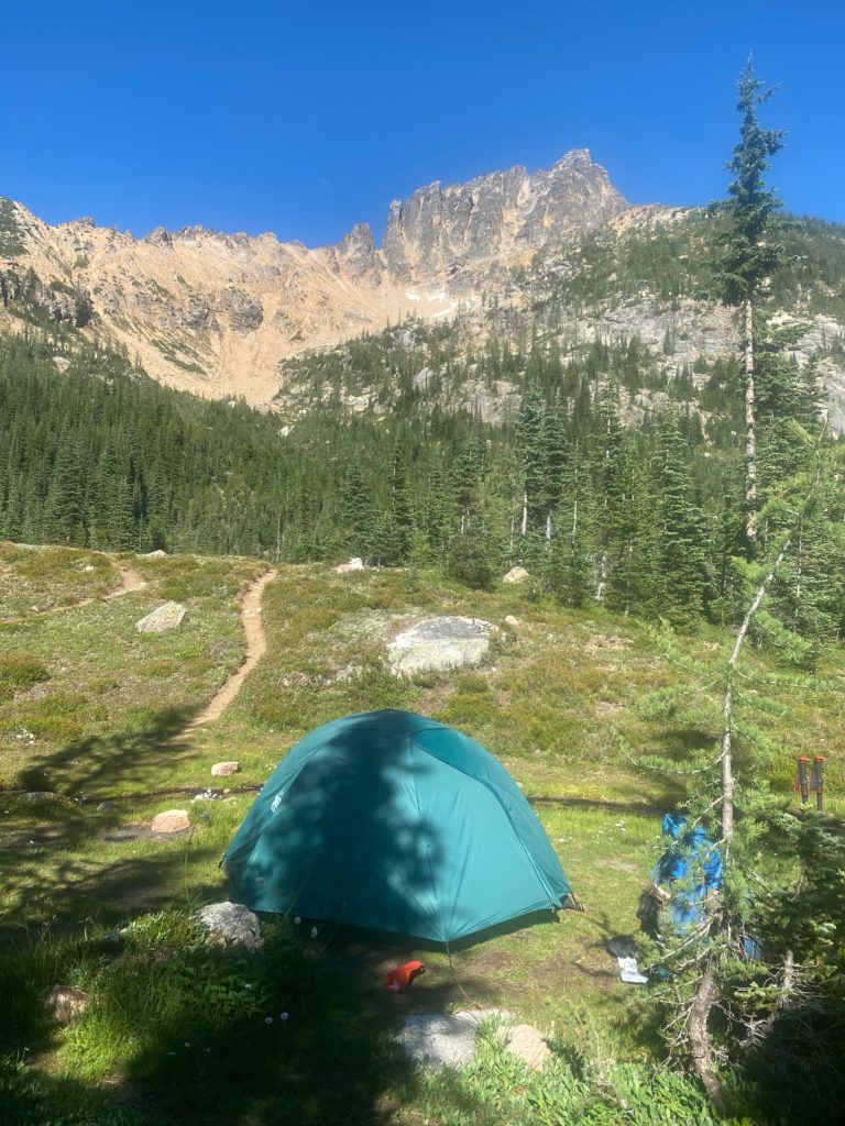
After going level for awhile on ledge you start going straight down via a series of switchbacks to Granite Pass at about 6200 feet. Then you go level again on a ledge until the ascent starts to Methow Pass. I stop for the day just before that ascend at a beautiful spot with a creek right beside my tent. Below are some views from my camping site. Spectacular! It was windy here and was the first time I actually had to stake down the tent. I stopped around 4:30 and was glad I did as 30 minutes later and the place was filled with local hikers. Some even had to keep going to the next camping site. Because the trail is basically on a ledge most of the time, there are limited places where you can camp.

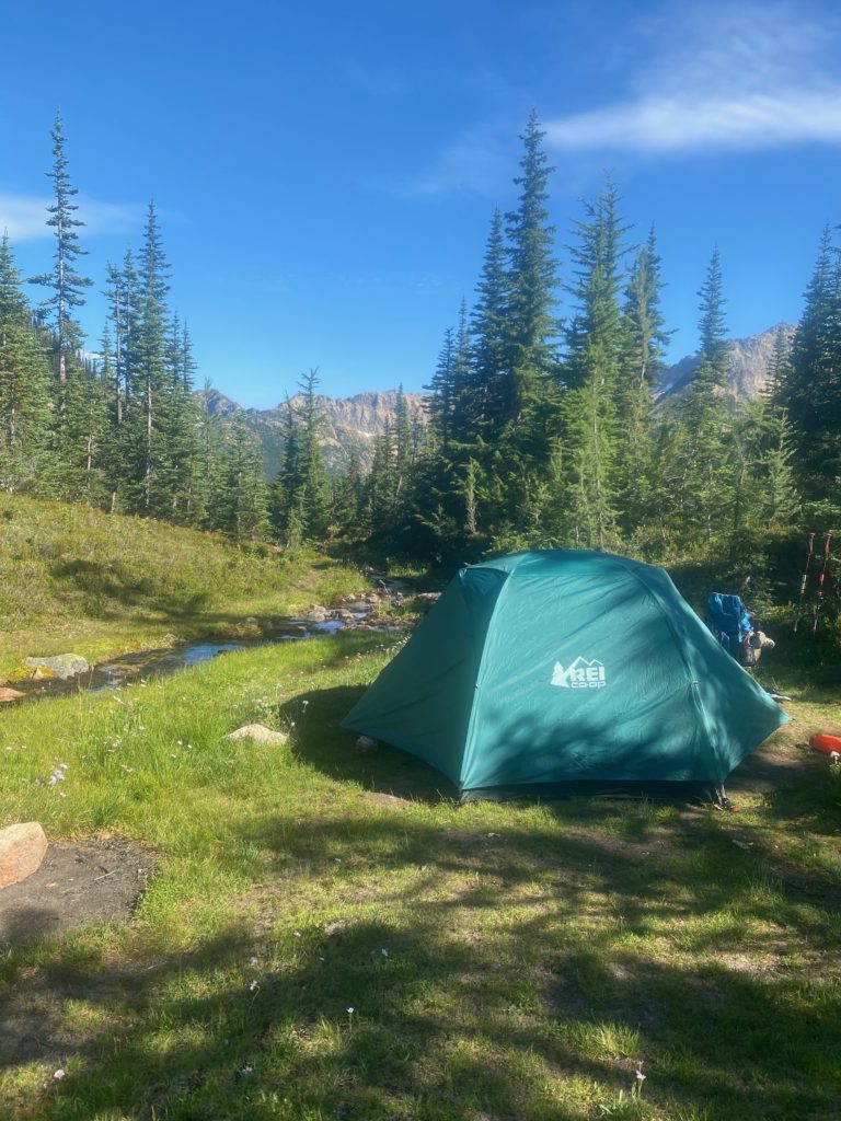
PCT 2591 to 2601 Tent site by stream
PCT 2591 to 2601 Looking out from tent site. Beautiful mountains

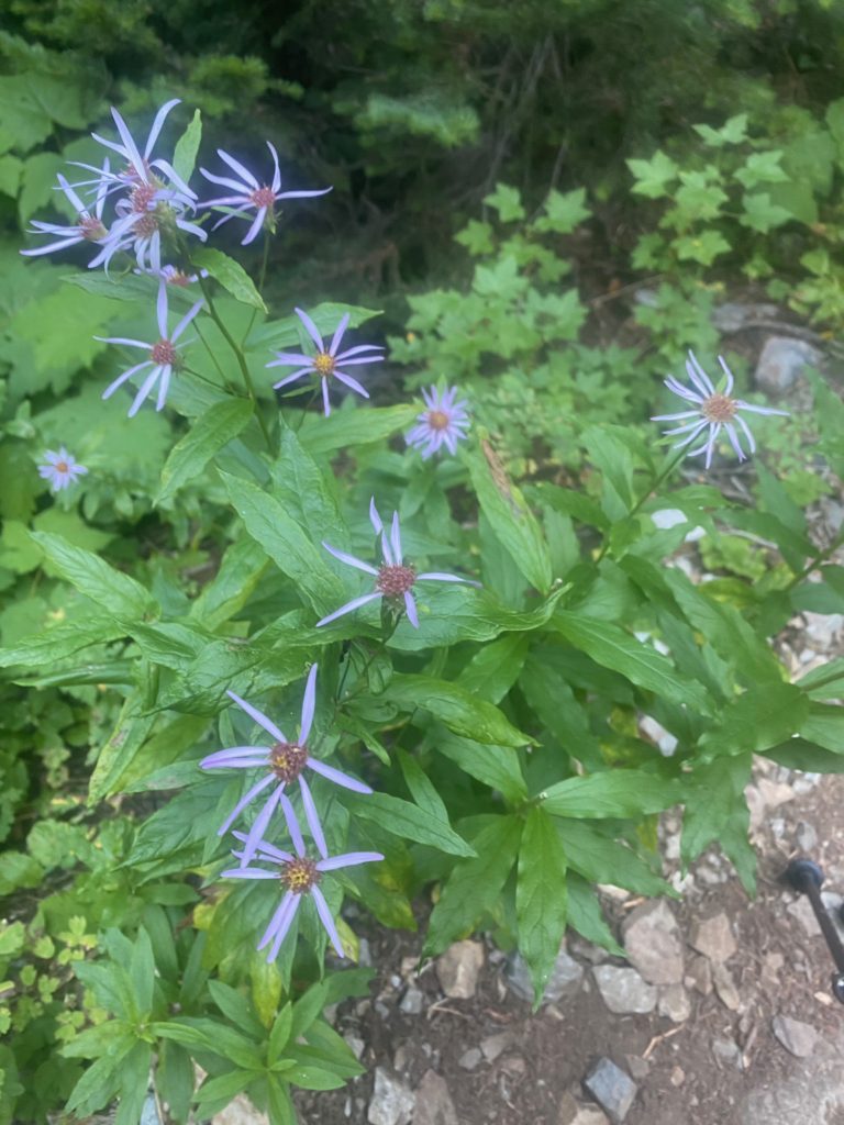
PCT 2591 to 2601 Smooth Blue Aster

Aug 5, 2020 PCT Mile 2165 to 2177

So today is another up a hill and down a hill day which I suppose is just how it goes in Washington. Washington has 111,000 feet of elevation gain, and 107,450 feet of elevation loss.  Today I will start out a 1890 feet and end up at Trout Creek 1197 feet and in between those spots are two peaks at about 3200 feet.

Start hiking about 7 and after 2 hours and 2 miles I reach Rock Creek. I decide I need to eat something and so sit down to fix up some oatmeal which tastes pretty ok. First meal I have had as I am having my typical issues with eating. I just get so tired that the thought of food just makes me nauseous. This is where I actually meet ASH’s walking partner PIERRE as he was still in the sleeping bag but got up while I was fixing breakfast. He told me he saw me setting up camp last night but didn’t say anything and came ahead to Rock Creek. He was surprised not to find ASH at Rock Creek but ASH was probably at least 3 hours ahead of him. Anyway Rock Creek is a beautiful spot with deep pools of water. Would have been a good swimming hole had I been so inclined. Just beyond Rock Creek I took the picture below that shows the trail is a bit overgrown in this area. It will actually get much more so and causes a slow down as you have to make sure you are not stepping on a rock the wrong way.

PCT 2165 to 2177 Beautiful trail. A tad overgrown

So I wanted to get to Trout Creek today but as it turns out I need to get to Trout Creek as that is the next available water and tent space. There is far less water on the PCT in Washington than I expected. The little stream shown below is about 30 minutes out from Rock Creek and that is it.

PCT 2165 to 2177 Small water source

I’ve past by a lot of the rocks shown below and finally decided to take a picture. They are thickly covered in Pincushion moss. It is like having a padded chair to sit on one.

PCT 2165 to 2177 All the rocks covered in Pincushion moss around these parts

At around 6pm I get to Trout Creek which is another beautiful spot and right near a paved road. There are only 5 tent spots here and I was worried I would get there and they would all be taken. But when I arrived there was no one else around and so I picked the prime spot and set my pack down. Literally 5 minutes later another camper arrives. He was on his 20th mile for the day. His name was YODA. I asked him how he got his name and he indicated that on his first day of hiking he realized he needed some more water and so backtracked to a water supply to load up. The person he was walking with said “That was a wise thing to do, I will call you YODA”. That is how you get trail names, someone else gives them to you.

So every part of me hurts. Toes are bruised and already turning black. My hip is on fire. My lower back hurts. I need to do something about this 60 pound pack. So Martha and Lenora decide they can come and get me the next day. I am off the trail for awhile. My trail name should be 3DayDon as that is about all I’m good for.

Aug 4, 2020 PCT Mile 2153 to 2165

So last night was a little rough. I could not sleep at first and my shoulders were just aching. I am attempting to carry a 60 pound pack with 14 days worth of food. After taking some Aleve, I did get some good sleep.

I’m starting the day at 800 feet, ascending to about 3500 feet, and then descending to about 1800 feet. I am just so very very slow both on the ups and the downs. Doing less than 1 mile per hour and the downhill really got my right hip screaming at me. Shoulders continue to hurt.

I started the day at 6:40 and by 12:40 I reached the high point of the day at about 3500 feet and PCT mile 2159.5. So about 6 miles in 6 hours. Then I head down to 1890 feet elevation at PCT mile 2164.8 and get there at about 6:50pm. So about 5 miles in 6 hours!! The result of my hip hurting and having to stop so often on the descent.

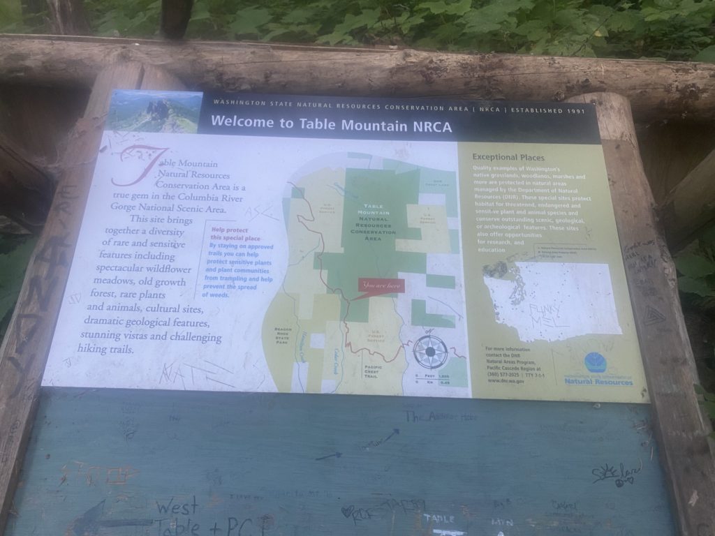
The trail goes past Table Mountain and there are signs for a side trail to go to the top. I have no idea why anyone would want to do that! There are all sorts of messages scrawled on the sign indicating that the hike to Table Mountain in brutal and don’t even attempt it with a full pack.

PCT 2153 to 2165 Just some Table Mountain info

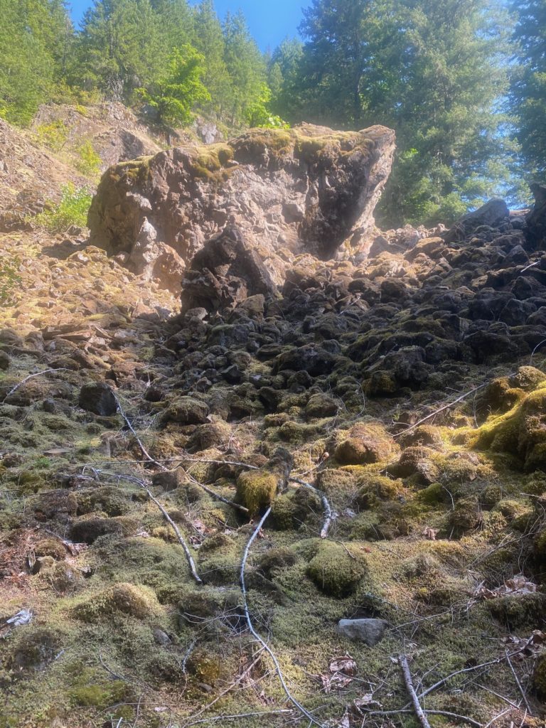
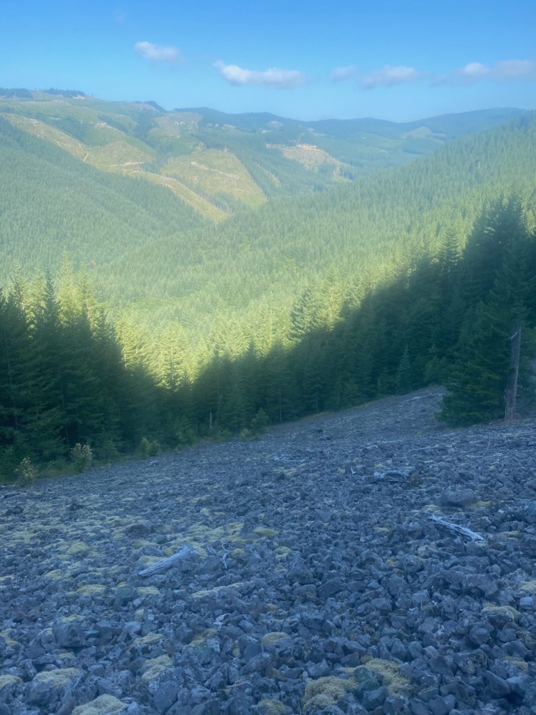
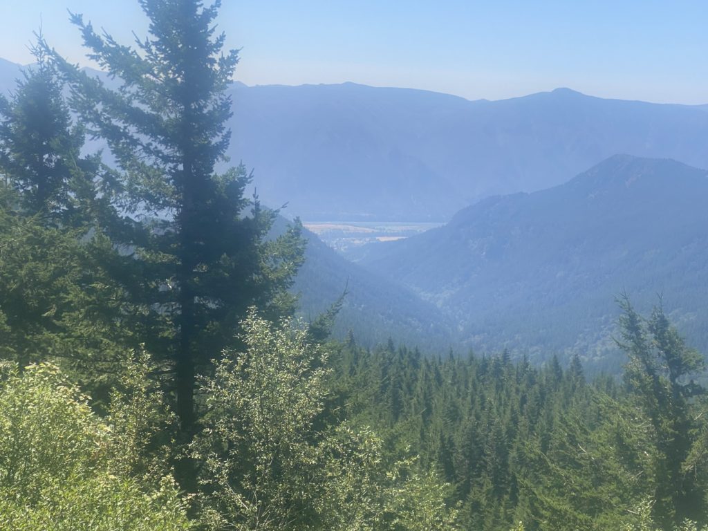
The trail is rocky at this point and even goes though a lava field or two but there are beautiful views including looking down to the Columbia River Gorge.

PCT 2153 to 2165 Yea… lava fields
PCT 2153 to 2165 View of Columbian George
PCT 2153 to 2165 Just pretty I guess

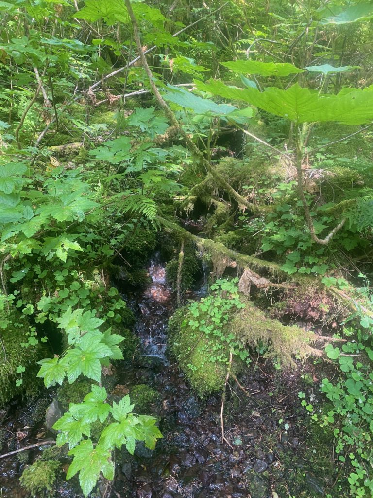
So I end up stopping 2 miles short of my goal but at a little creek that has a very slight trickle of water. There has not been any water on the trail for 11 miles and I always try to camp by a water source. This will have to do. A trick I learned on the PCT to gather water is to find a large slender leaf and place the leaf at a spot where the water is trickling over rock in the creek. The leaf will gather the water at the top and flow off the leaf at the bottom creating a little stream that you can put a cup under and gather. Should have taken a picture….

Saw/met 5 other hikers today. One was heading back to Bridge of the Gods because his feet gave out. One started at White Pass and was heading south and told me there was very little snow ahead. Again with the very little. A couple that just blew by me and didn’t say anything. And a PCT hiker named ASH who was headed for Canada to complete this through hike. The next day I would meet ASH’s walking partner PIERRE (I did not ask either hiker how they got their name) and PIERRE told me they went through waist high snow in the Sierras this year. I’m just not sure how that is possible but people do it. So very fortunate that my hike through the Sierras in 2015 involved no snow.

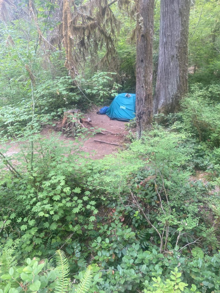
This is not really a camping site but I did find an area that was relatively level. The slight slope was enough to cause problems sleeping, I did have to push myself up a couple times during the night. More Aleve.

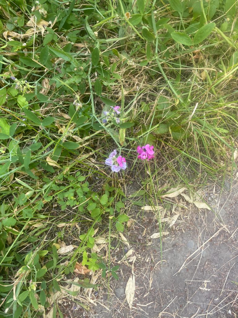
Some wild flowers seen along the way.

Aug 3, 2020 PCT Mile 2147 to 2153

So here we are starting out on the 2020 hike. We had to drive about 7 hours from Oroville to Bridge of the Gods to get this thing started. It was not with a little trepidation that I begin the journey. Have no idea what type of hiker I will be.

PCT 2147-2153 Bridge of the Gods

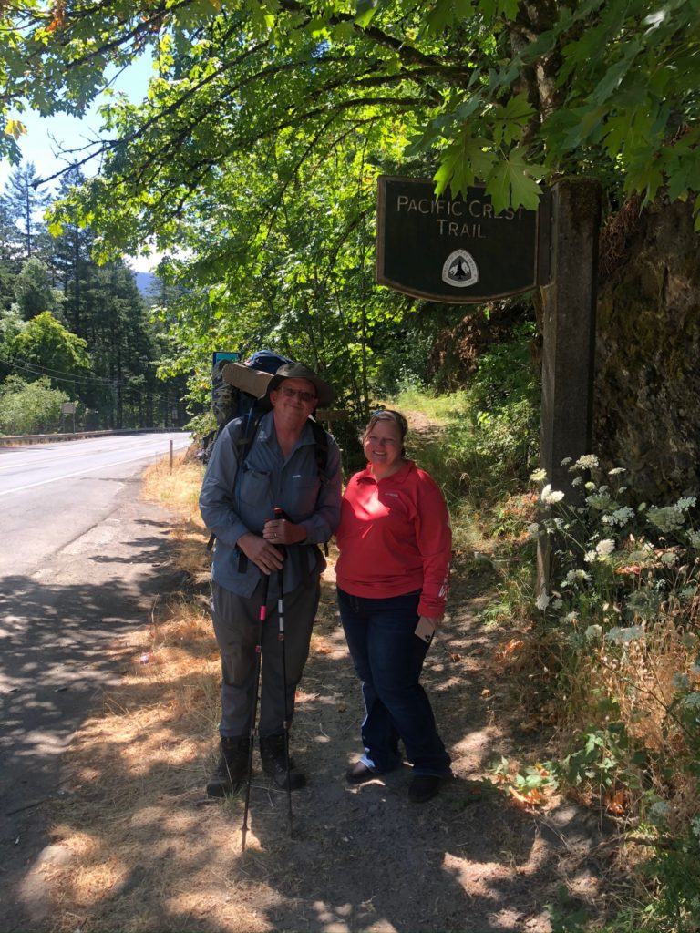
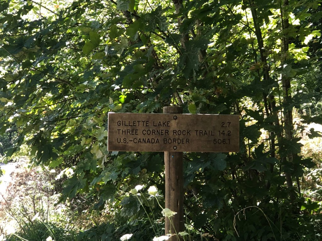
Sign at the start of let me know just how far away Canada is. 500 miles. How hard can it be.

PCT 2147-2153 Canada 506 miles away

This part of the trail goes through the Columbia River Gorge National Scenic Area which is the largest national scenic area in the United States. As we were driving to Bridge of the Gods along Hwy 84 which parallels the Columbia River we were amazed at the beauty. More information here: http://www.columbiarivergorge.info .

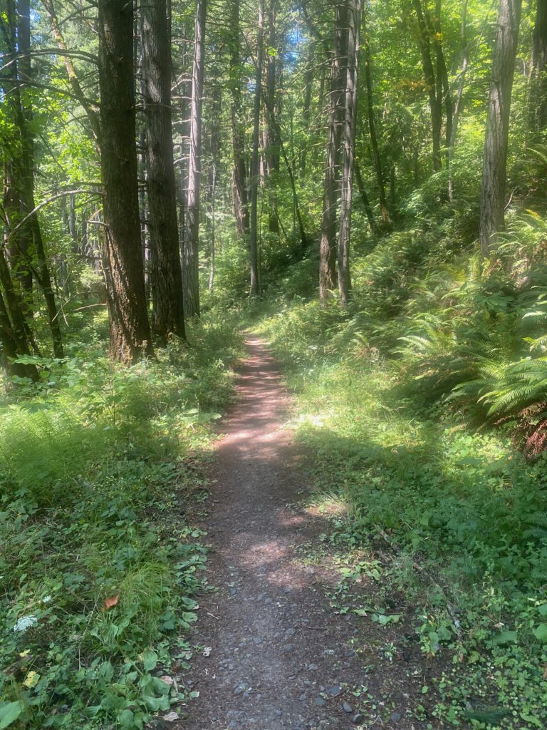
The picture below is pretty much how I remember Washington. Nice soft forest floor trail. As you can probably imagine not all of the PCT in Washington is this way. In fact, Washington will get downright rugged later.

PCT 2147-2153 Like the looks of this trail. But this nice look was just a setup

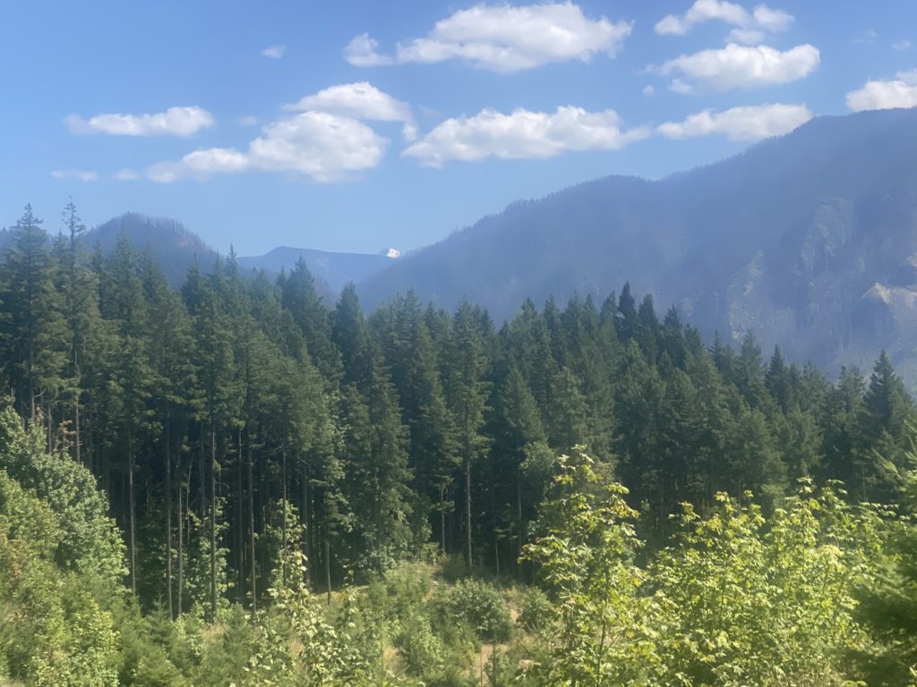
The trail did get a lot rockier as I went along but the scenery was beautiful. I took this picture because of the very tip of a snowy peak in the distance. Not sure what peak it is but pretty sure it is over yonder in Oregon.

PCT 2147-2153 Snow peak way in the distance

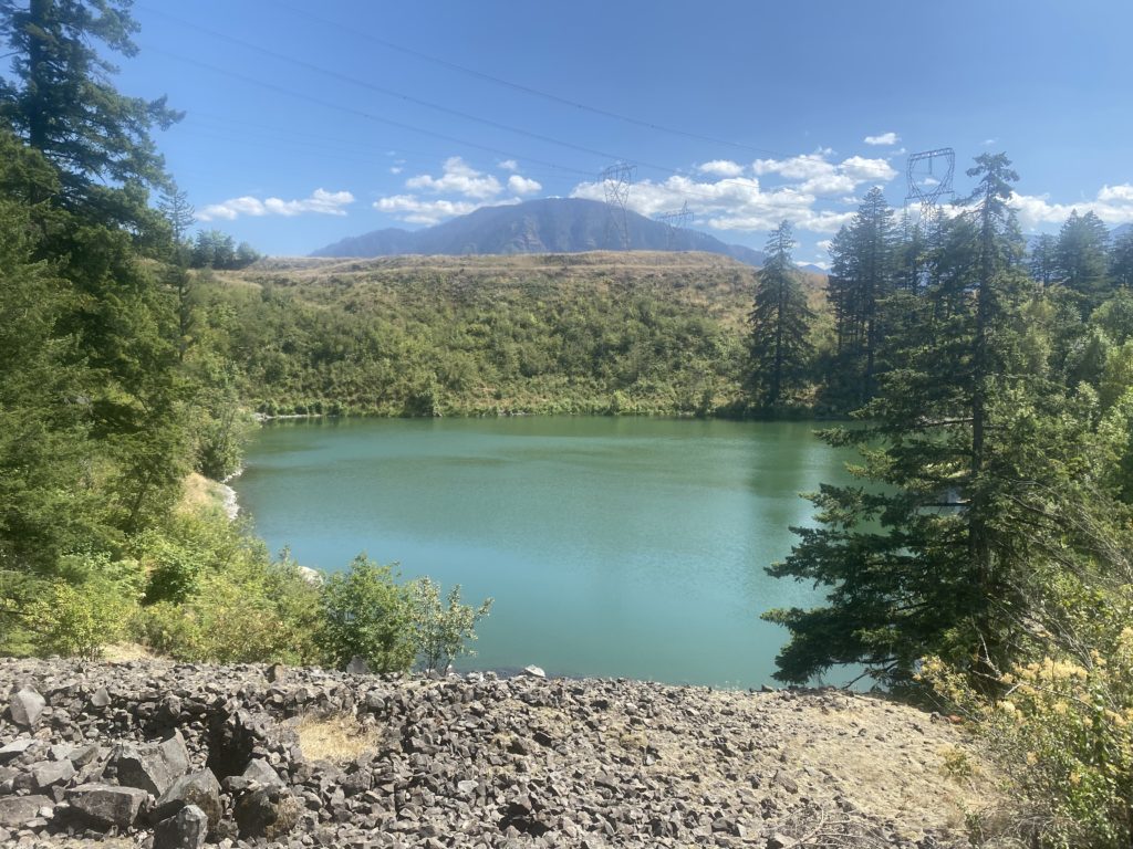
The picture below is of Lake Gillette and is about 3 miles into the hike. It is very popular place for the locals to hike as I passed many hikers coming back for there and many hikers passed me going to there. All the hikers were young and they all put on masks to pass me on the trail.

PCT 2147-2153 Lake Gillette. Popular hiking spot for locals

I met a south bound PCT hiker whose plan was to a complete hike. He said he was very tired of Washington and could not wait to get to Bridge of the Gods and get a hot shower and a good burger. He indicated he was use to hiking the Appalachian Trail and it was always a big deal to get into a new state. On the PCT he will only get that experience 2 times. I asked him about snow on the PCT up north and he said there was very little. Now if only his very little is the same as my very little!!

So I set up camp after about 6 miles of hiking. I text Lenora and Martha on the InReach and immediately wish we would have tested it before we started to just to make sure everything was right. But after a little while I received a reply and was relieved that everything worked.

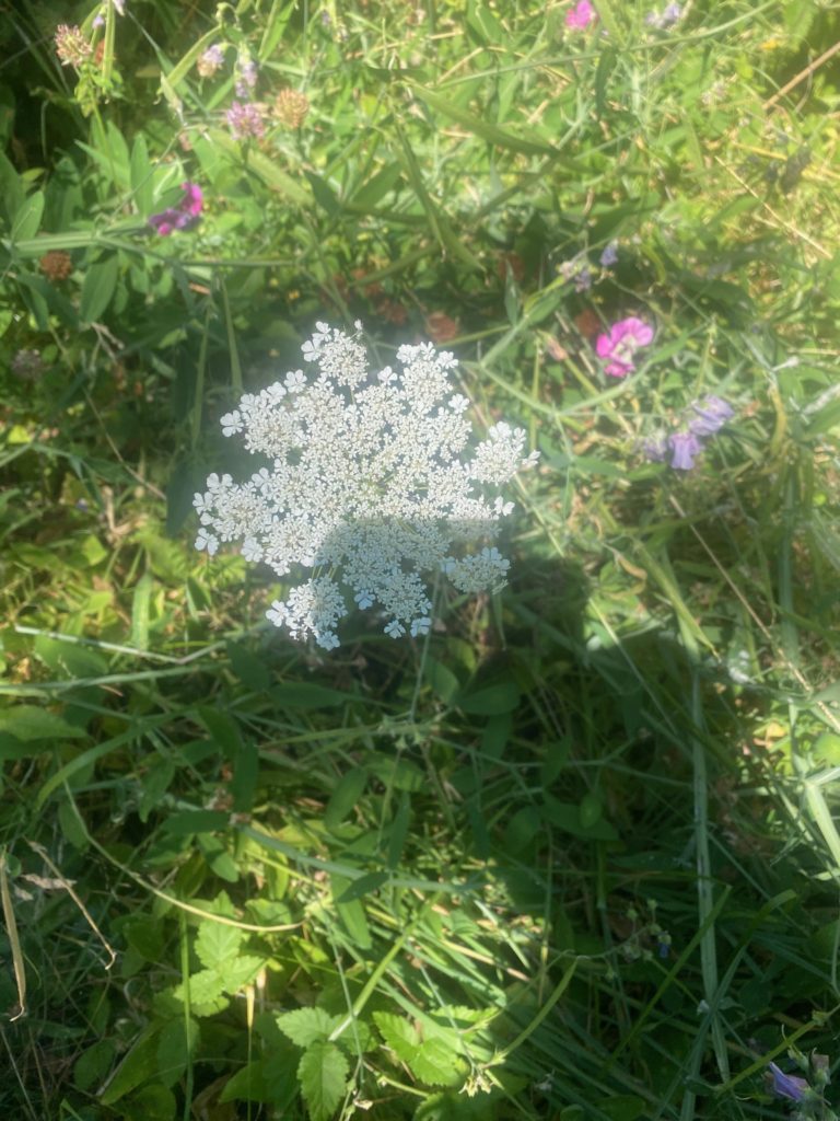
Some of the wildflowers seen along the way