Category Archives: Hiking

Sep 5, 2020 PCT Between 2242 and 2256

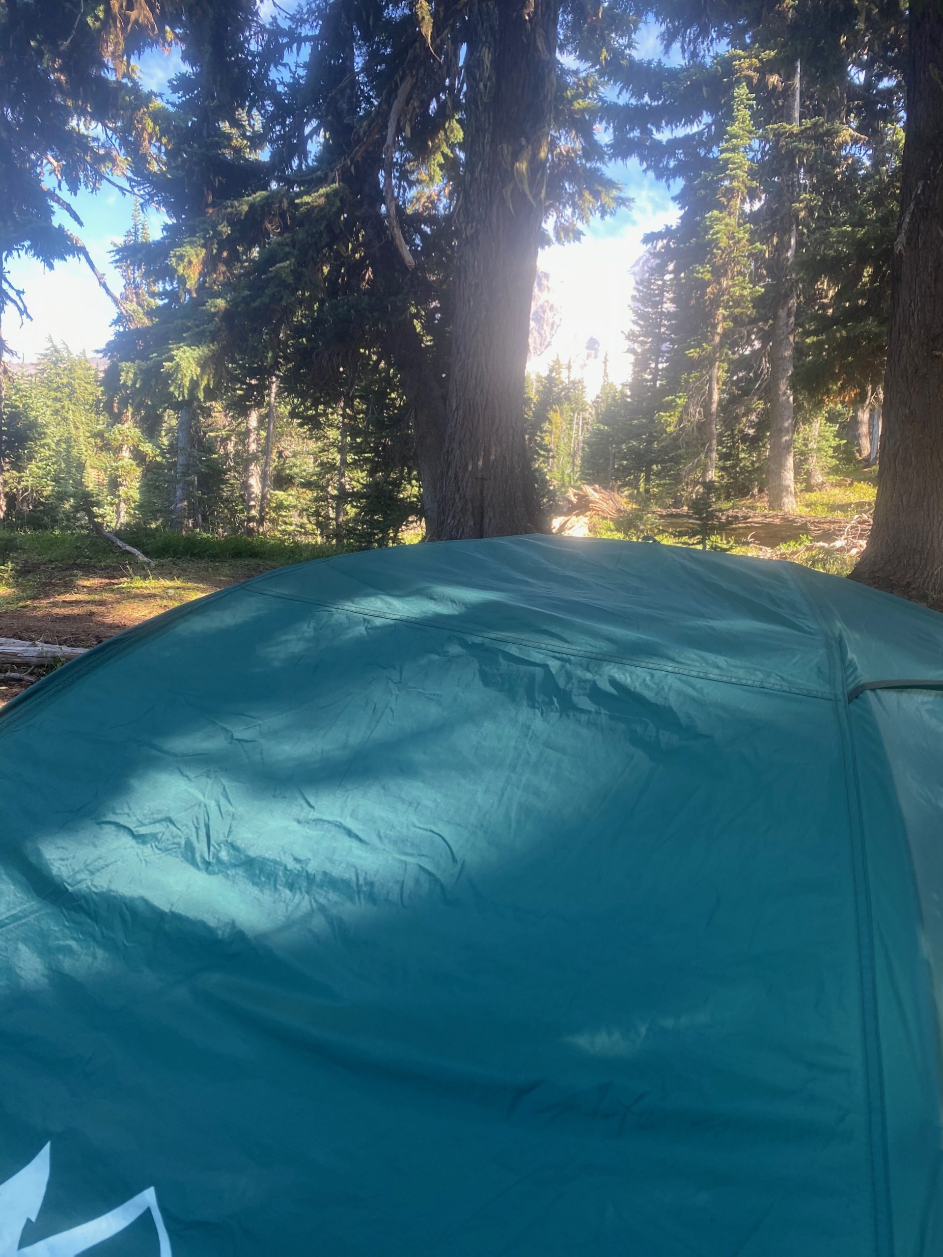
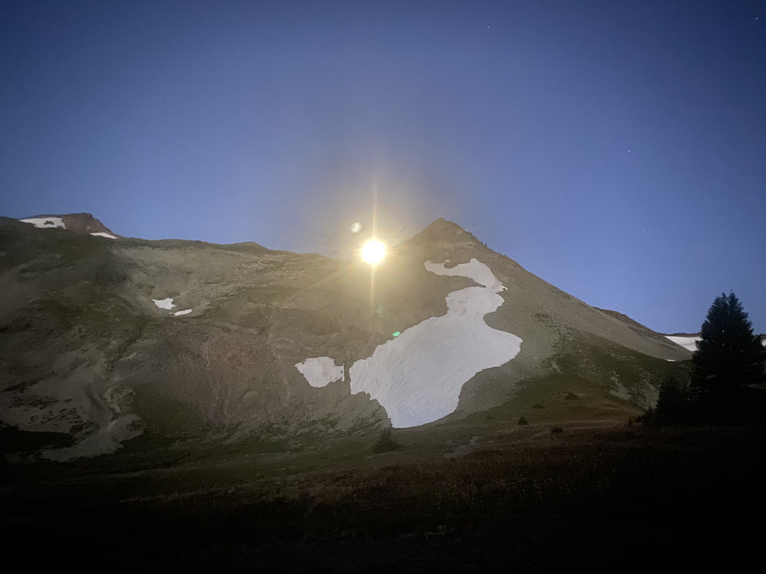
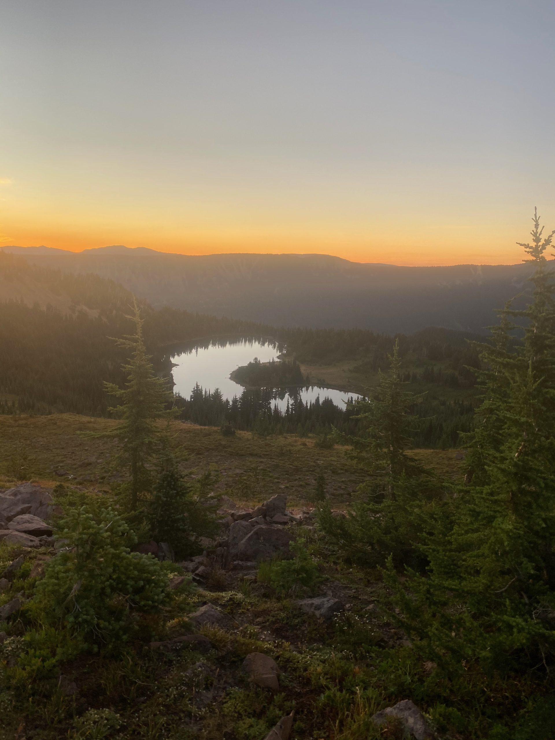
It has been hot and dry and so I made the decision last night to not put the rain fly on my tent. It was nice to be able to look up from the tent and see the trees and the sky. However, everything in the morning as slightly and annoyingly moist. I had not noticed any moisture the last two nights on the rain fly and so I thought it would be ok. I’m dry inside my sleeping bag and my hiking cloths are also dry because I put them inside the bag with me to keep them warm for the morning. So it could have been worse. I get packed up and start walking towards the trail. After what I think is too long of a walk I start to wonder if I walked the right way because I have not found the trail. It is dark and I’m walking with a headlamp. I return to the tent site and get my bearings and decide I was indeed going in the correct direction for the trial. I can tell the land is sloping down towards a lake. I head out again with a little more trust and eventually reach the trail and start the day. Get to a stream about 7am for some nice clear cold water and breakfast

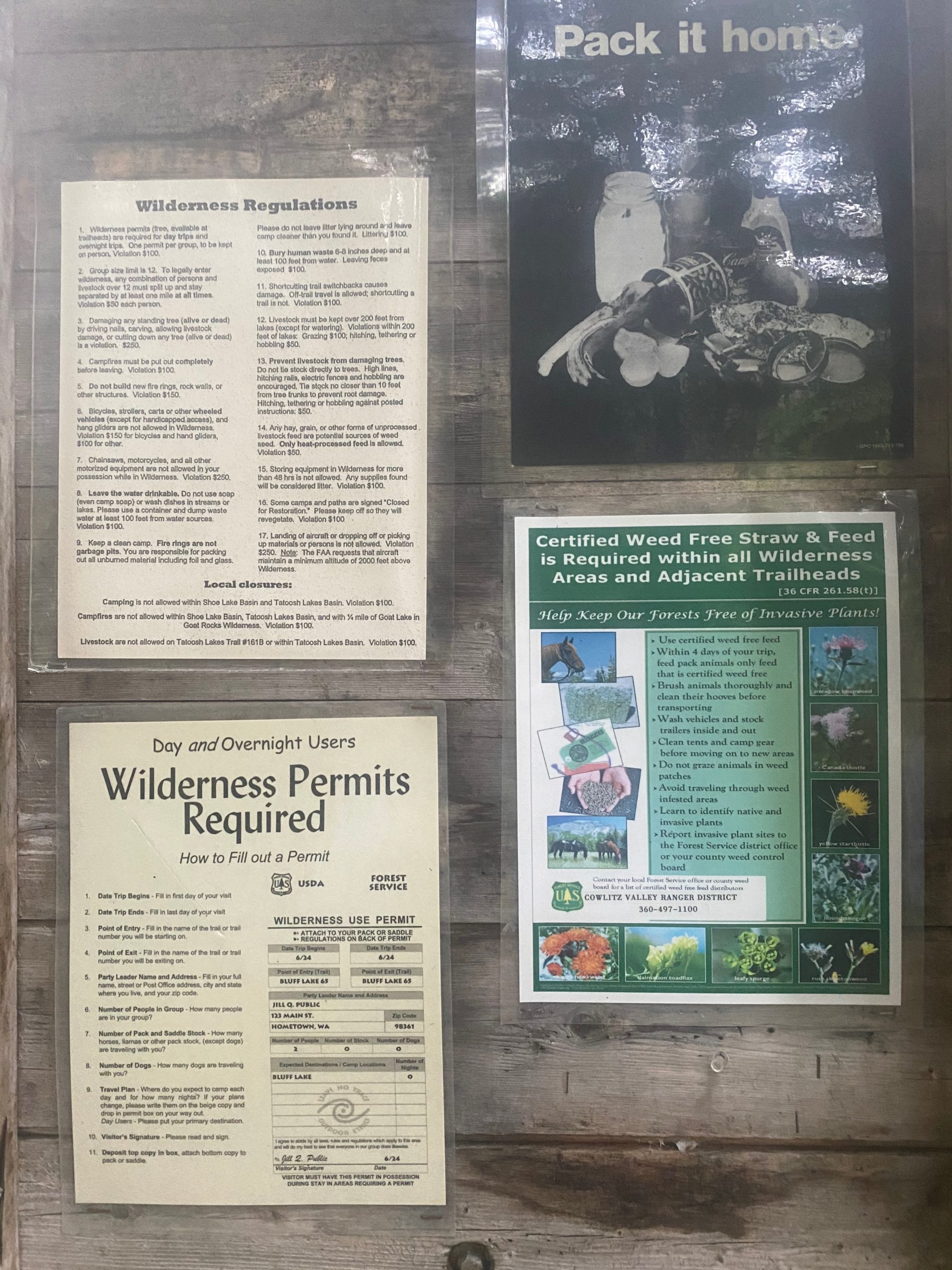
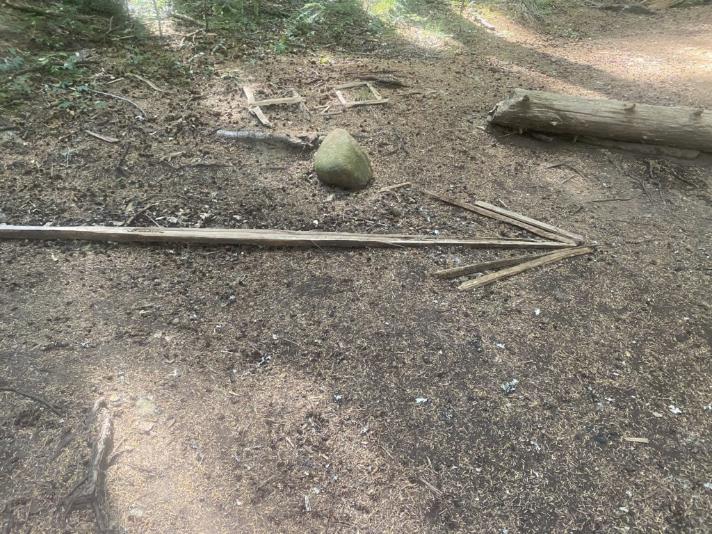
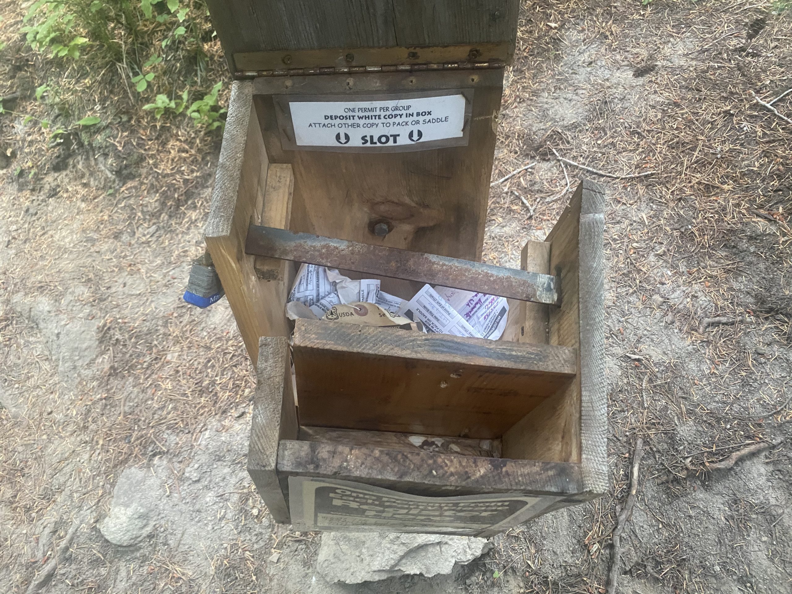
They like you to register while in the wilderness so they know you are there if something happens. Oh…. Like a fire I’m guessing. Registration not possible however as this location needs a little repair
People do like to report milestones along the trail. Mostly they are done with rocks showing the mileage. This was done with tree moss. I thought very clever. Showing south bounders they have traveled 400 miles at this point.
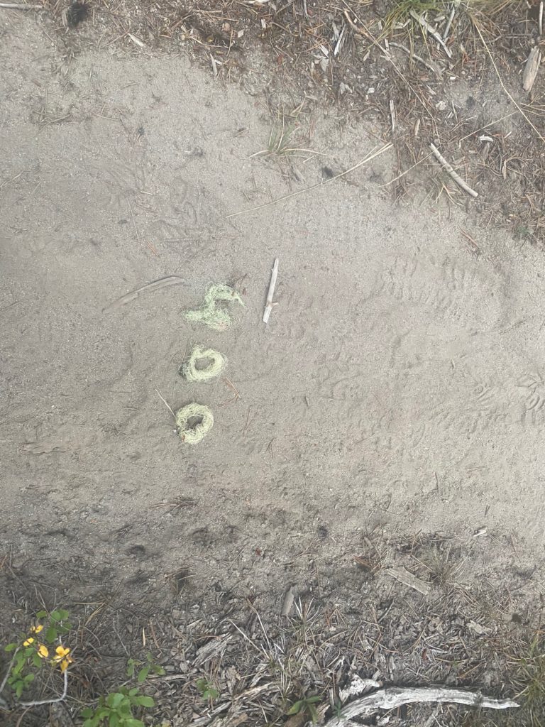
PCT 2256 to 2242. Tree moss used to let South bounders know they have traveled 400 miles

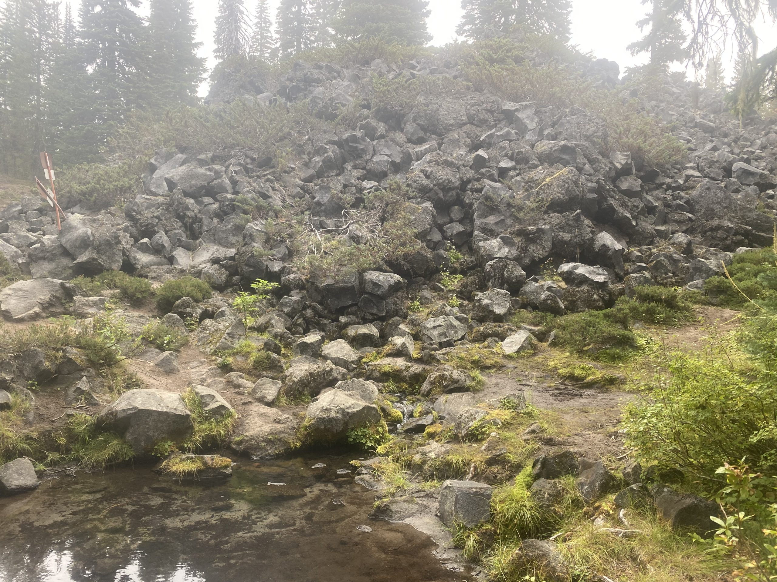
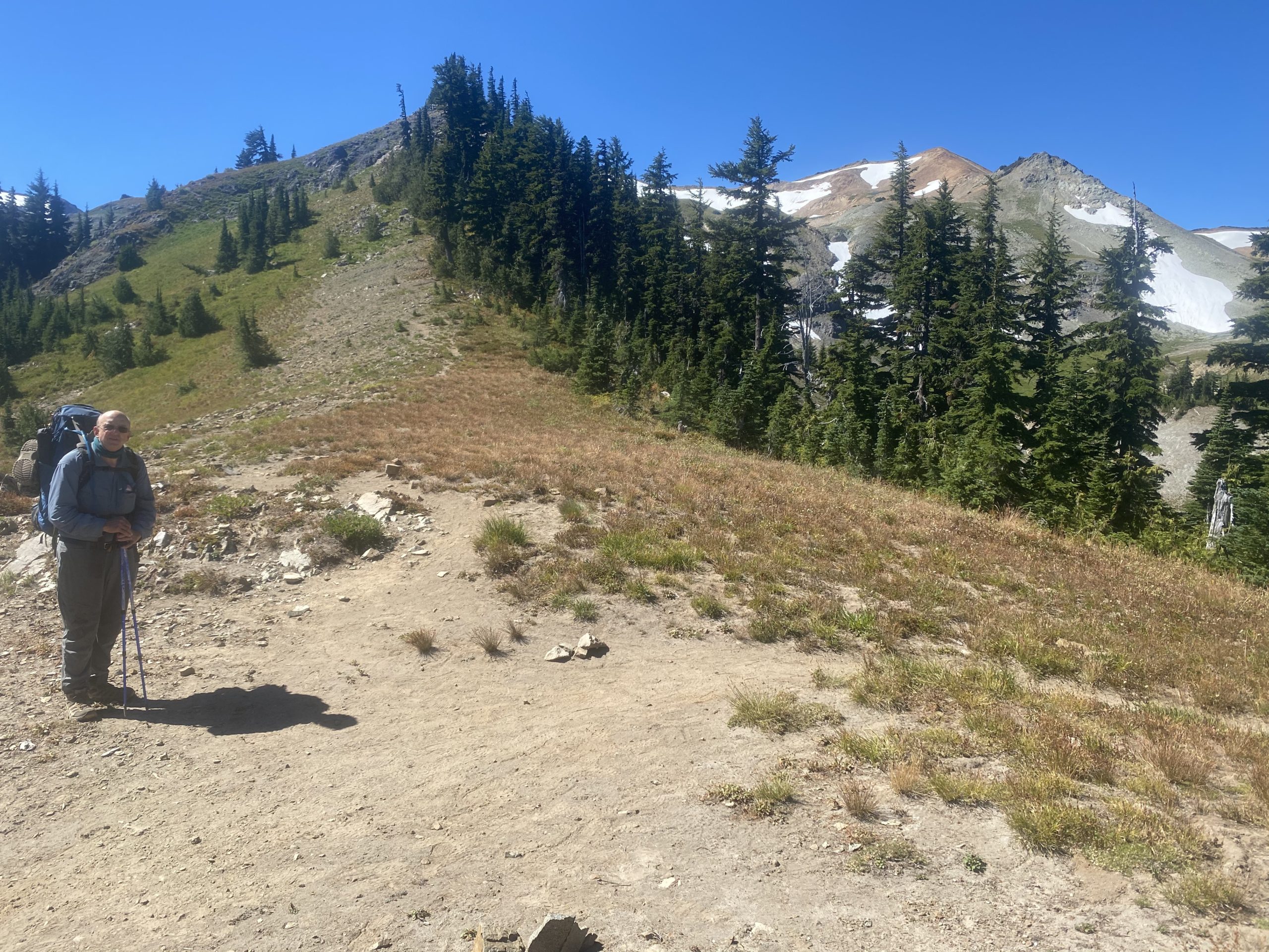
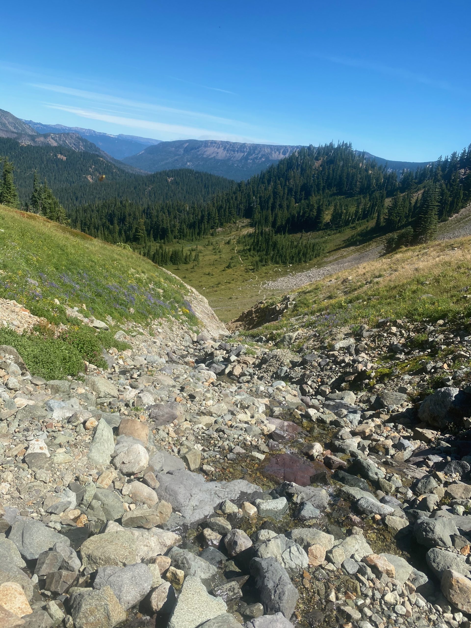
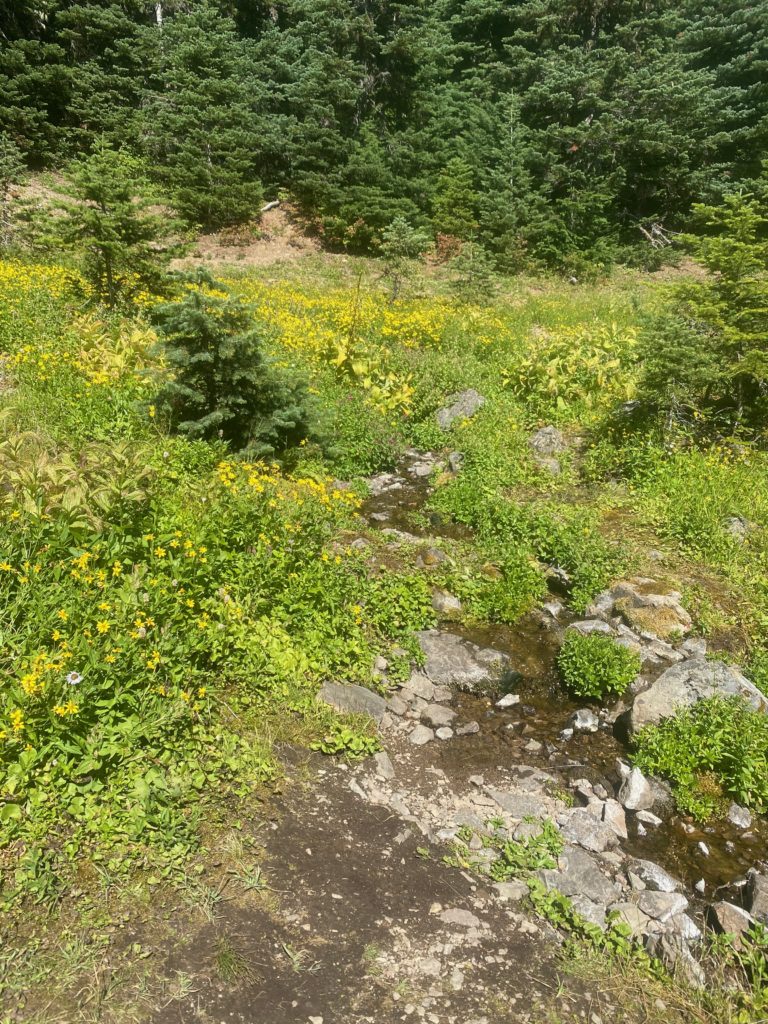
As I travel on I am on the edge of a lava field with huge rocks. Eventually come to a spot called Lava Spring because a beautiful little stream emerges out of the lava mountain at this point. It has nice places to camp and the beautiful stream. I stop here to have a meal and talk to a PCT thru hiker that comes in from the south. He is traveling with a 72 year old named Bo Jangles and he wants me to tell him about the Knifes Edge. Apparently Bo Jangles is worried about the snow fields. Bo is about a mile behind and I meet him as I start the climb from the stream. I tell Bo my opinion about the Knifes Edge. The snow fields will not be a problem. Just be careful when going down hill. Bo looked pretty good for having done more than 2200 miles of the PCT at the age of 72!!
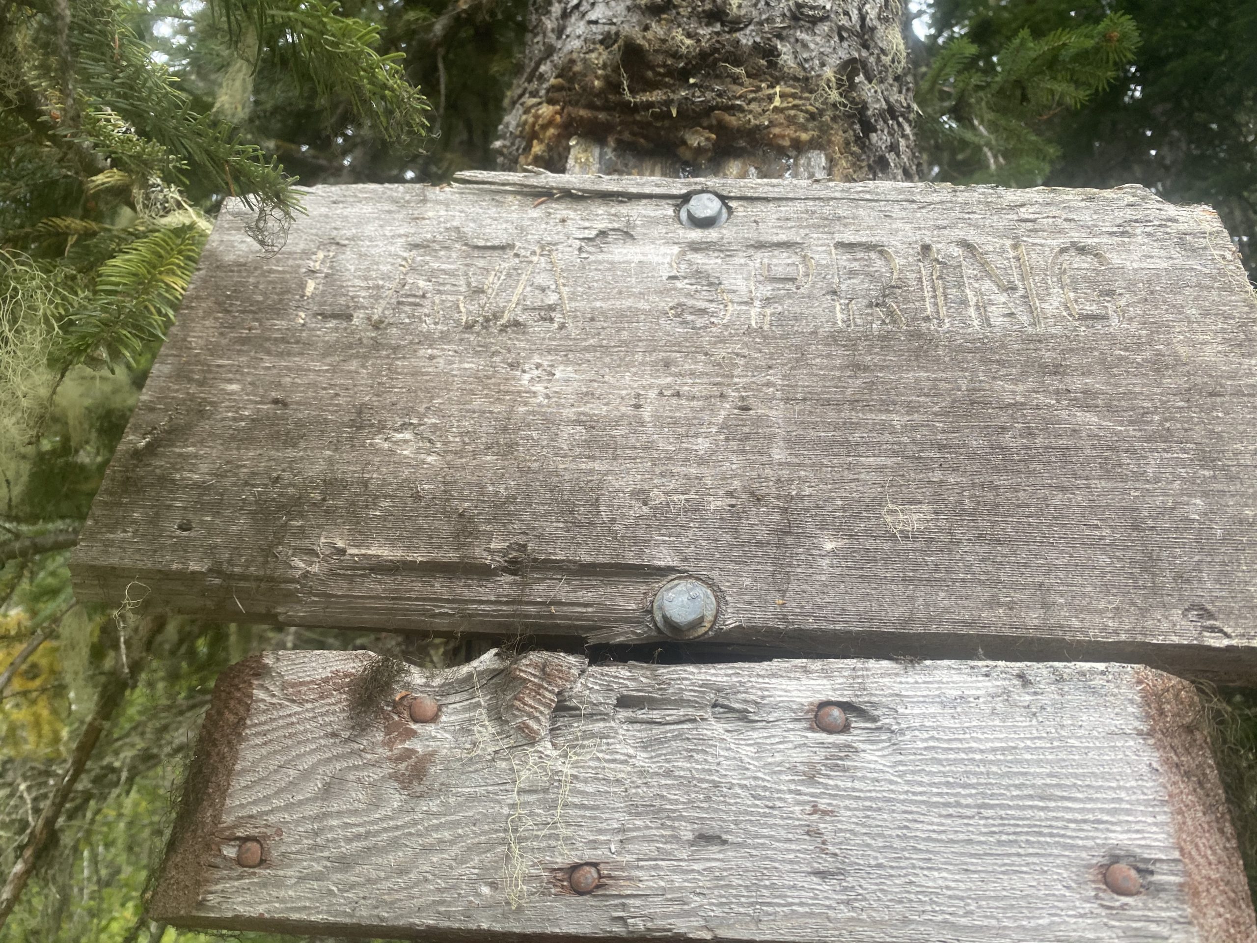
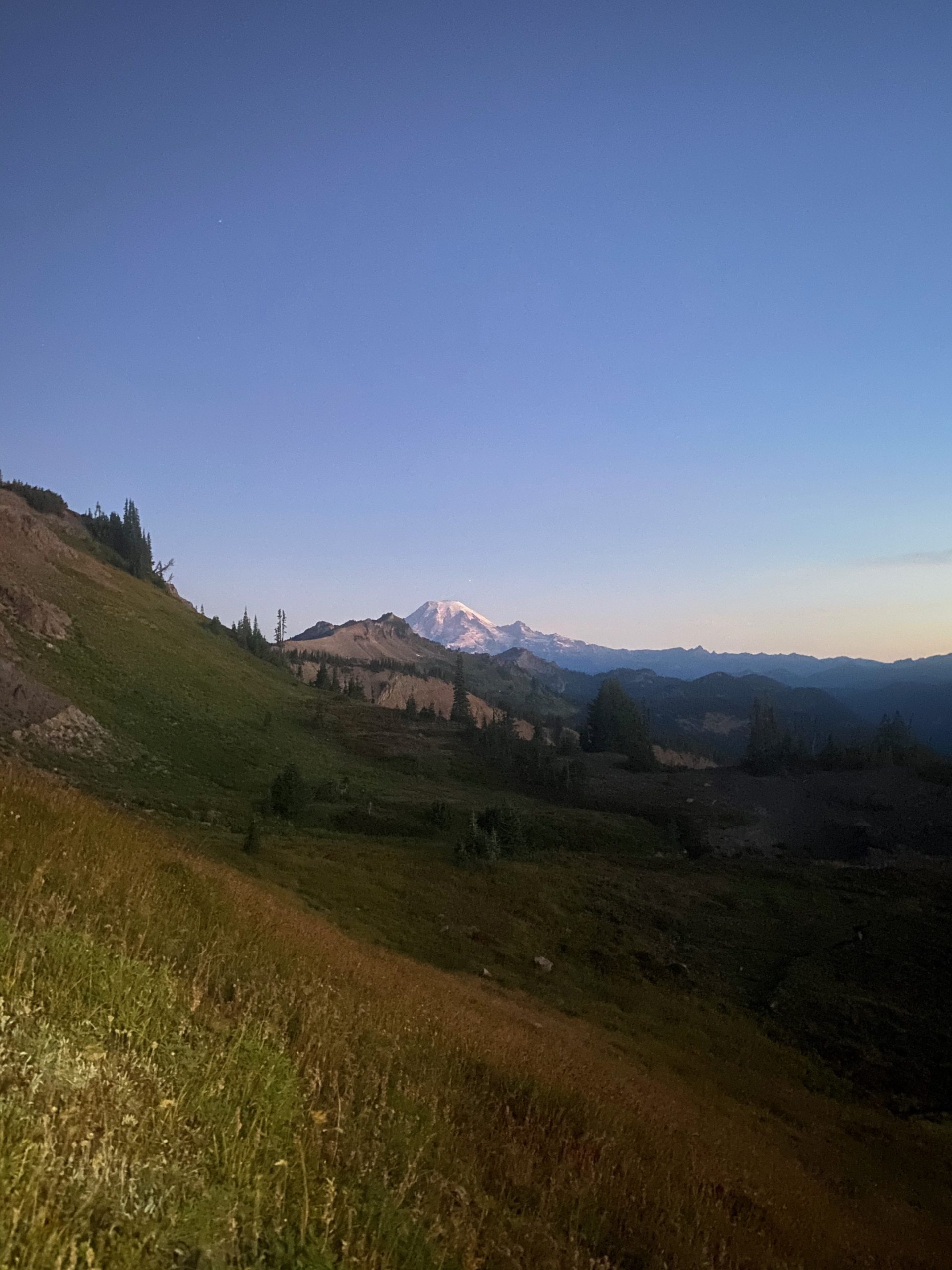
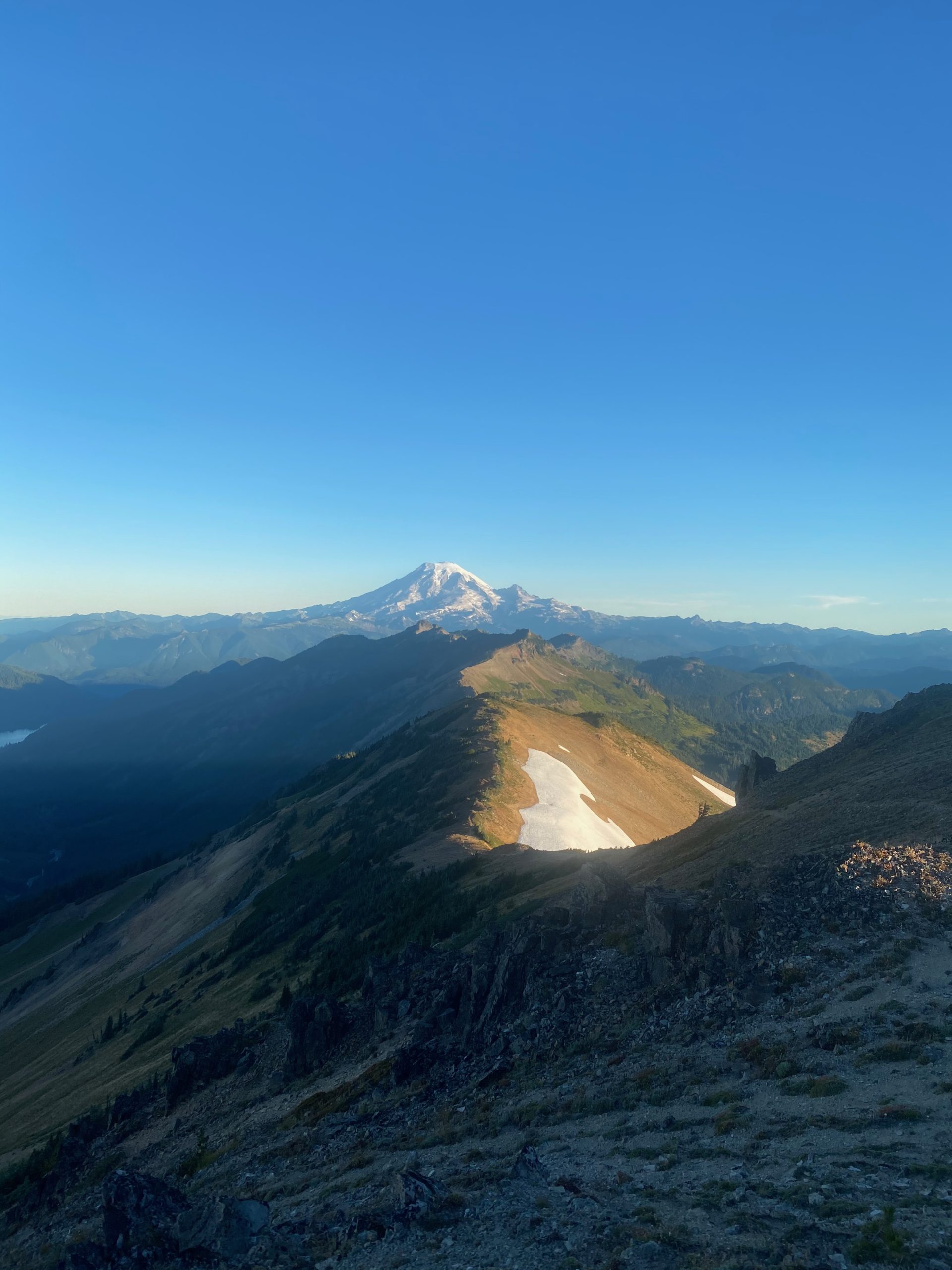
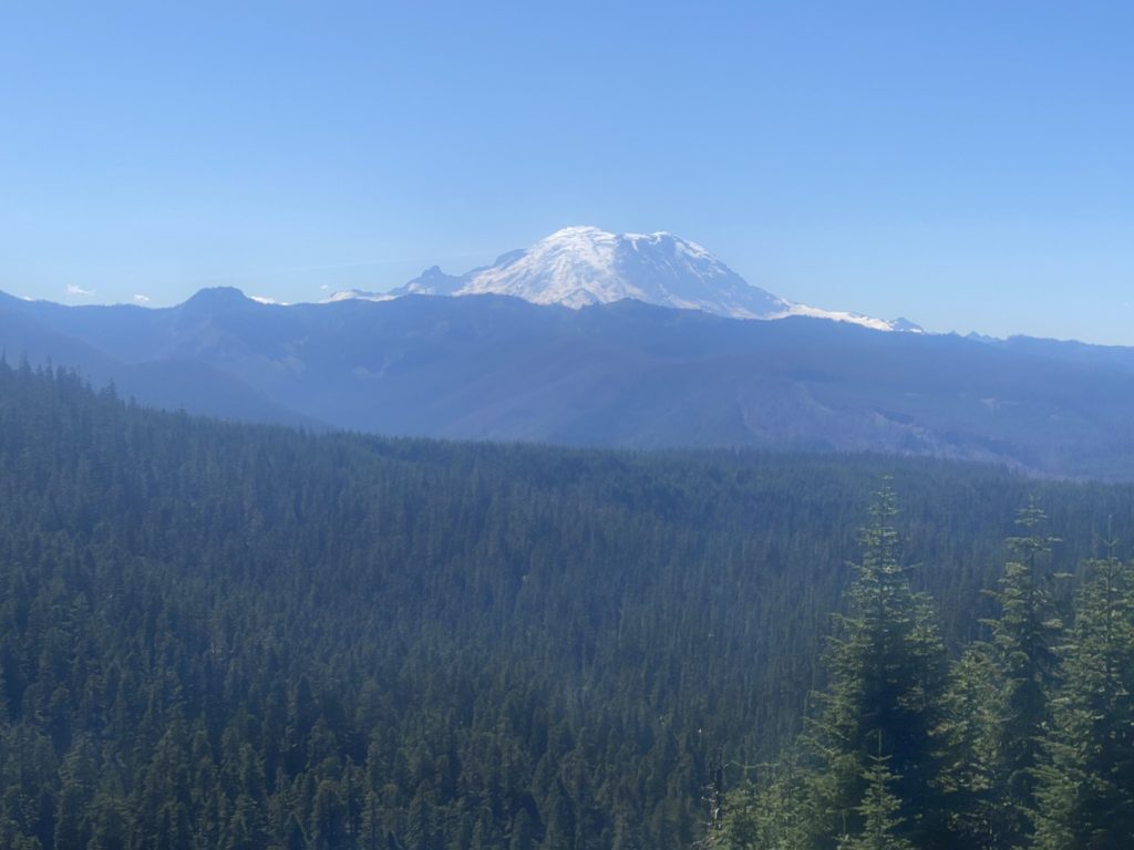
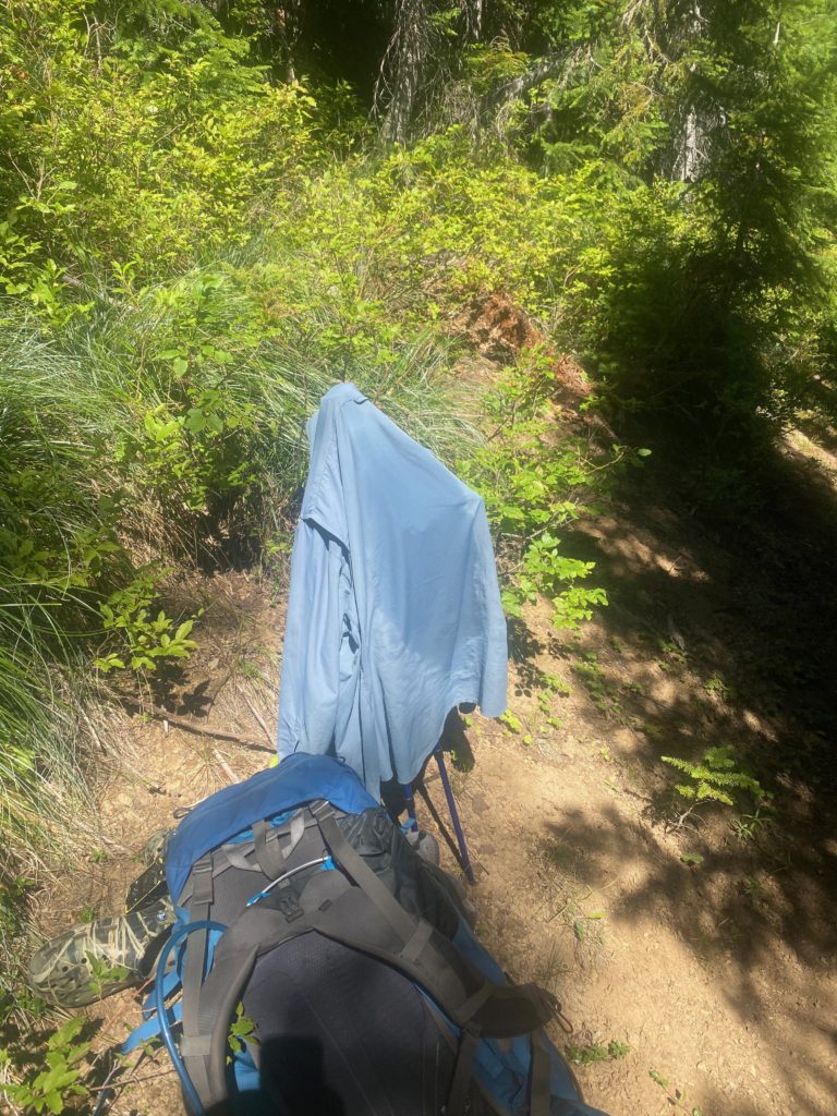
It is a pretty good climb to get from Lava Spring to Killian Creek. Not intense but consistent and long. But Killian Spring was a nice place to end up at the top. I had more to eat here and washed my shirt. Lots of locals coming through. I also get what I believe will be last look at Mount Rainier.
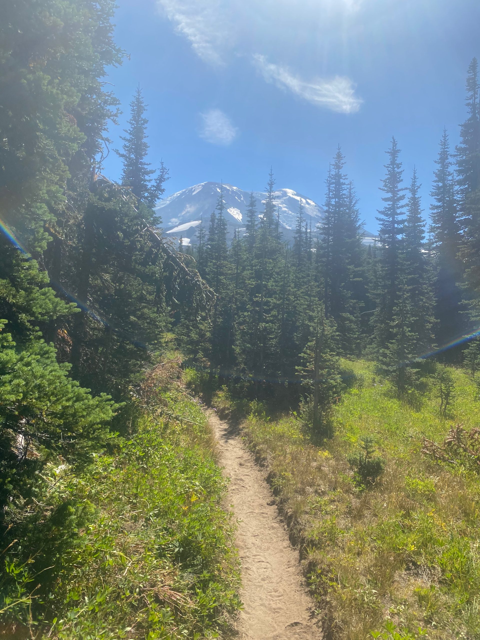
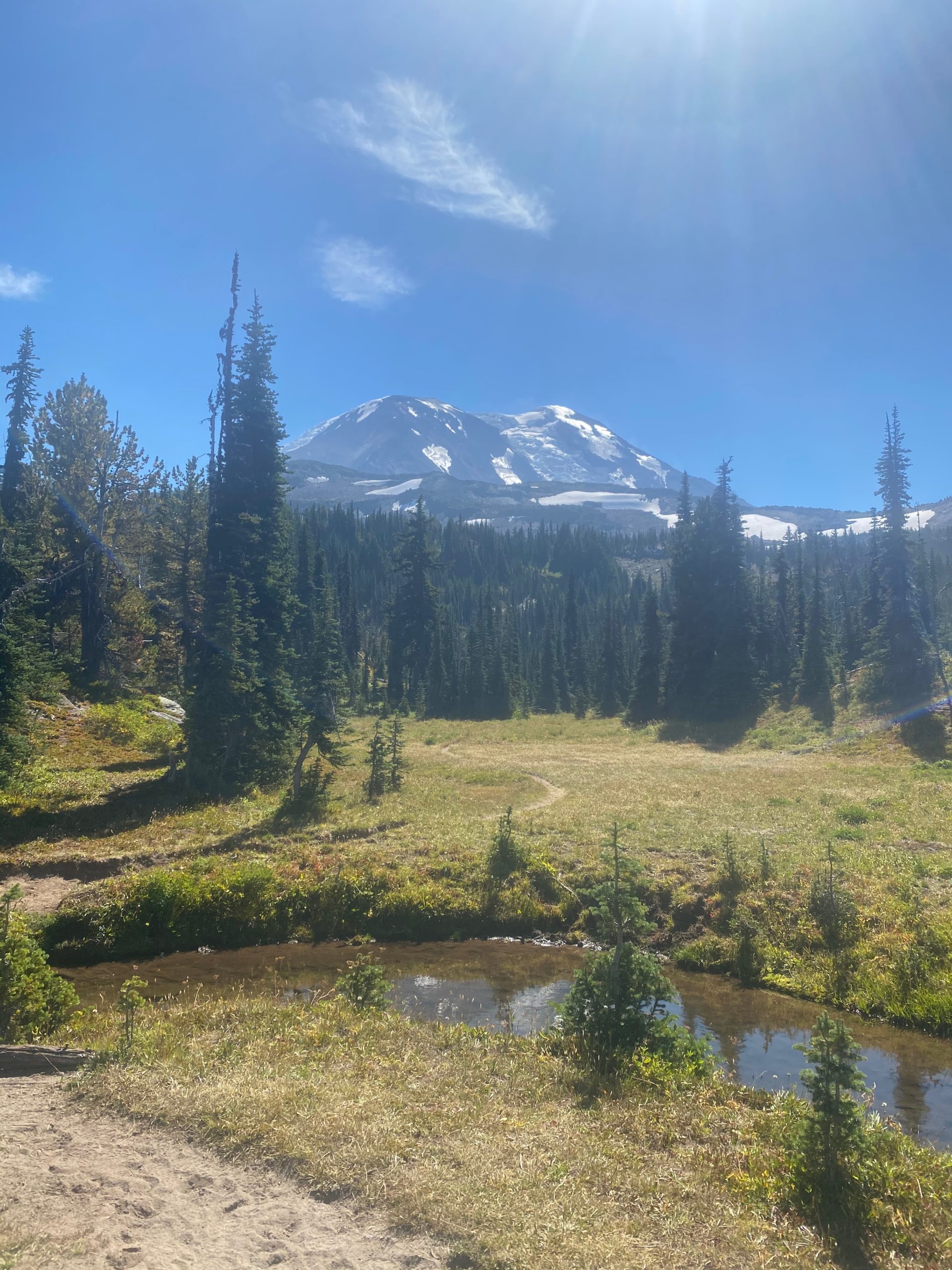
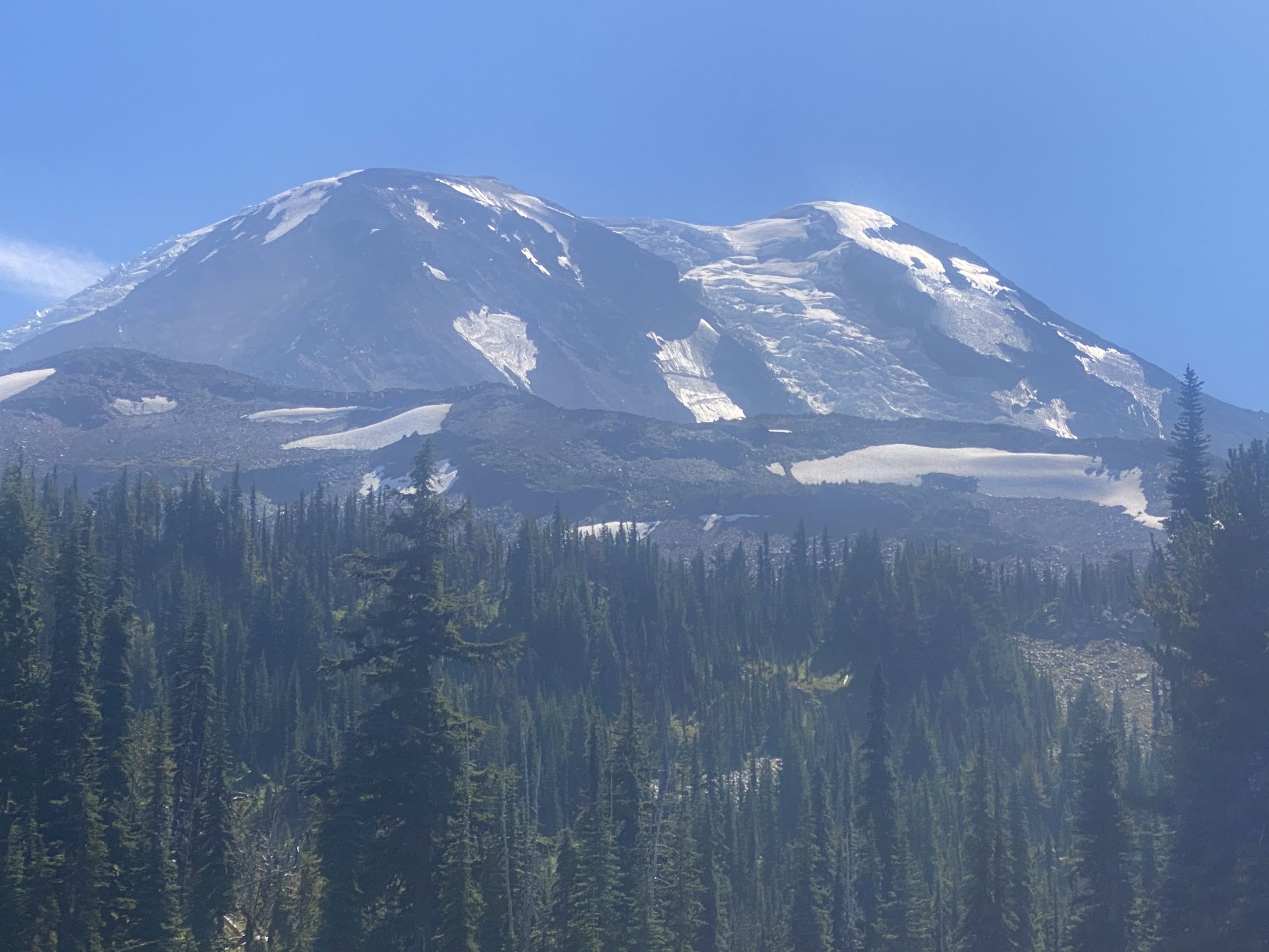
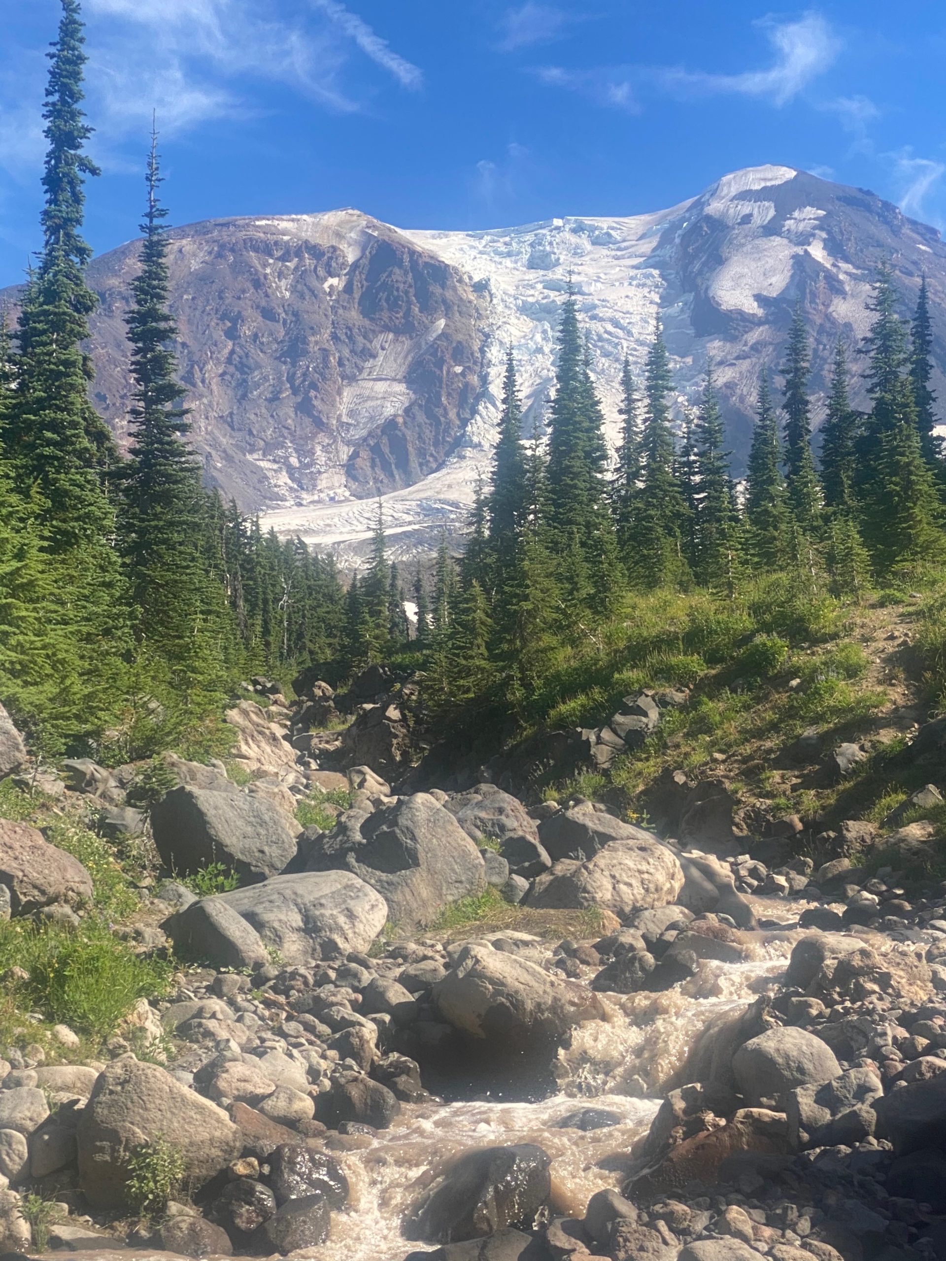
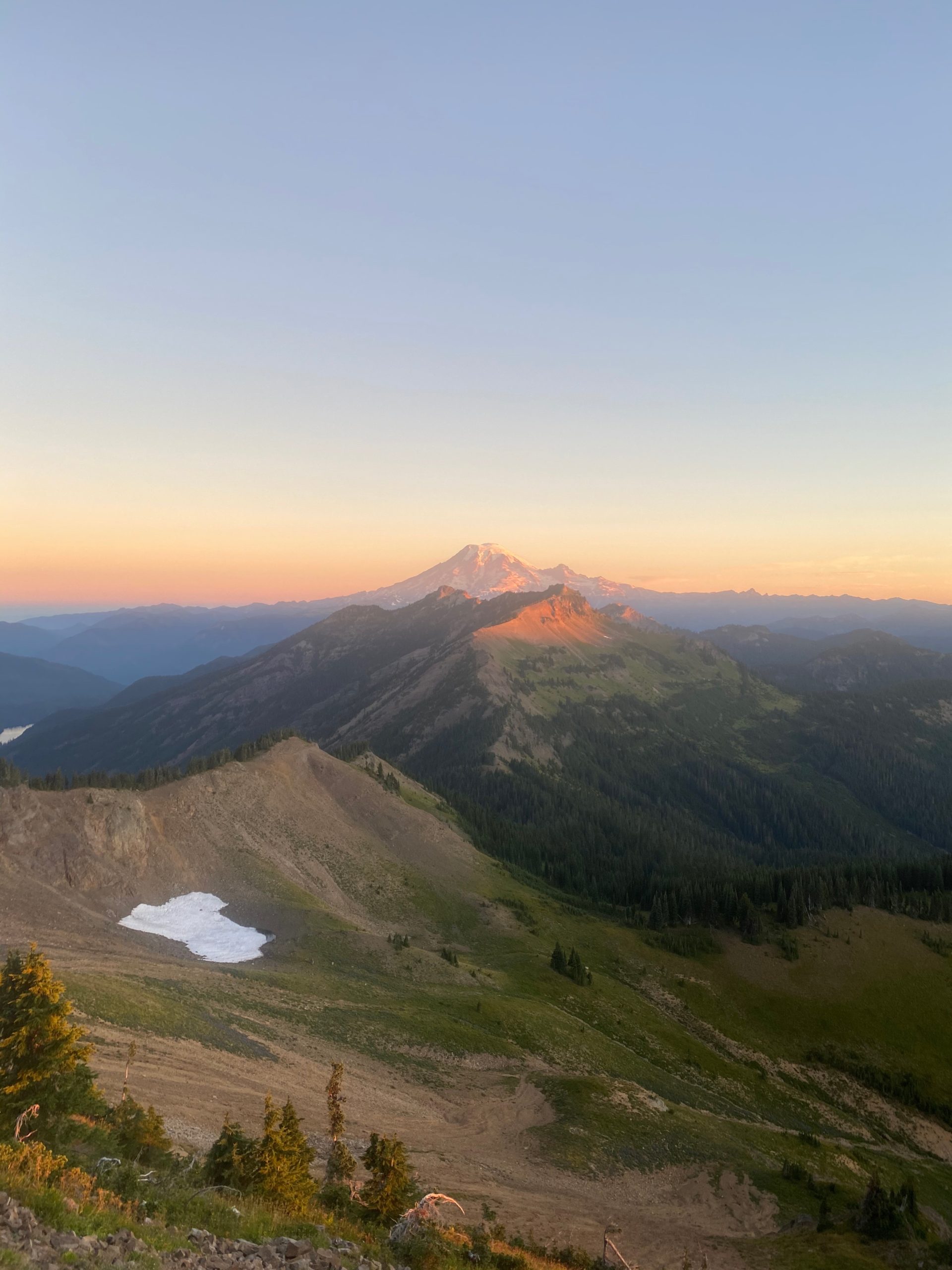
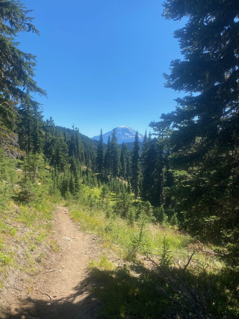
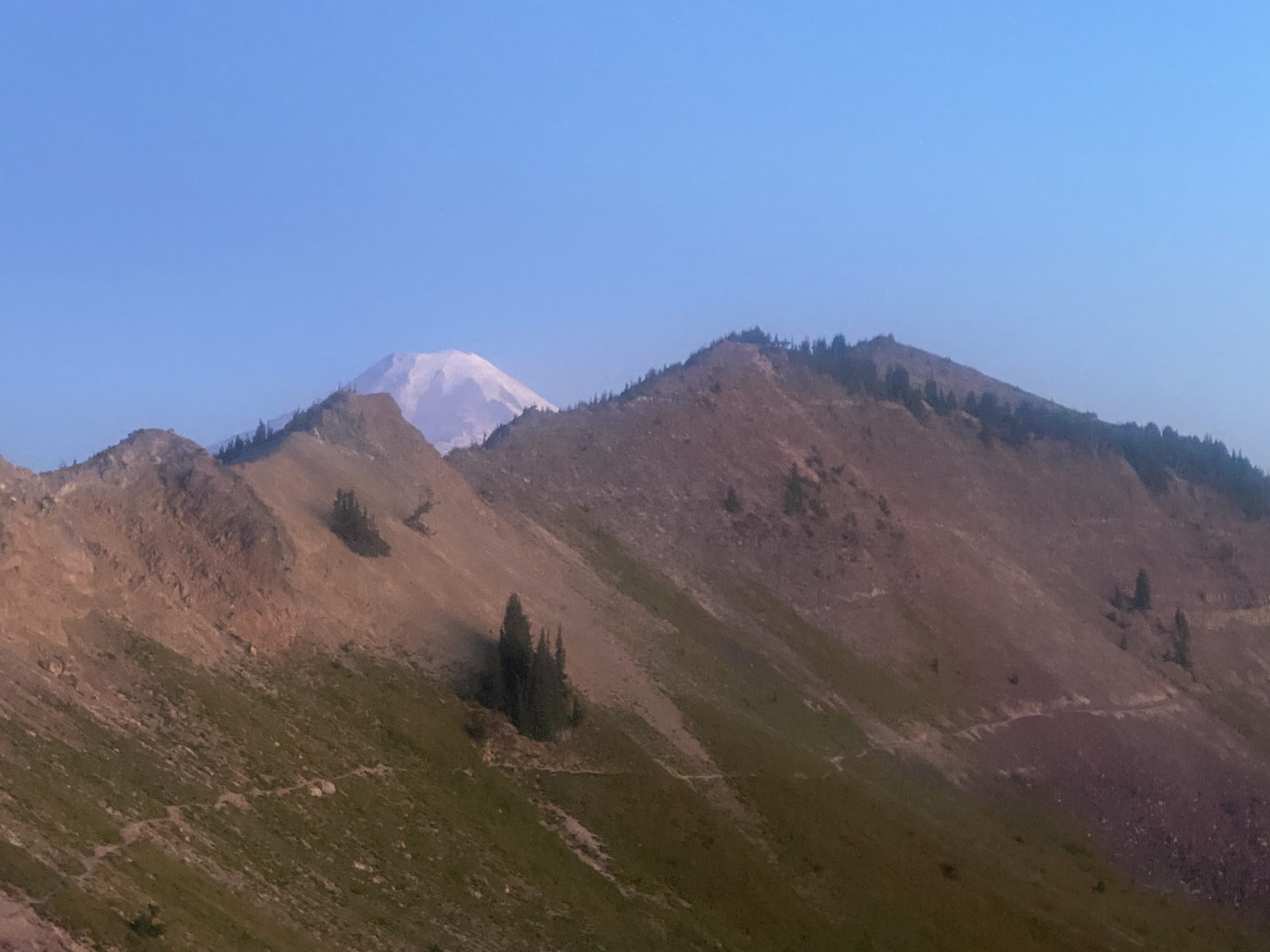
An hour later Mount Adams seems to be getting really close
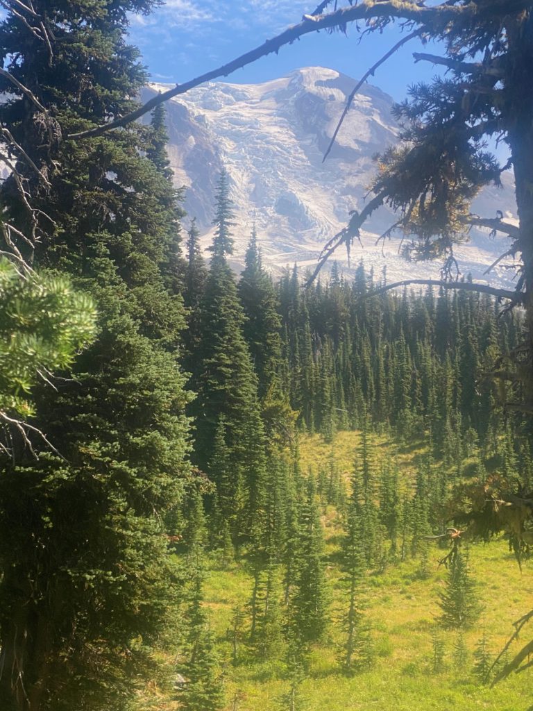
PCT 2256 to 2242. Mount Adams. Ice and Glacier

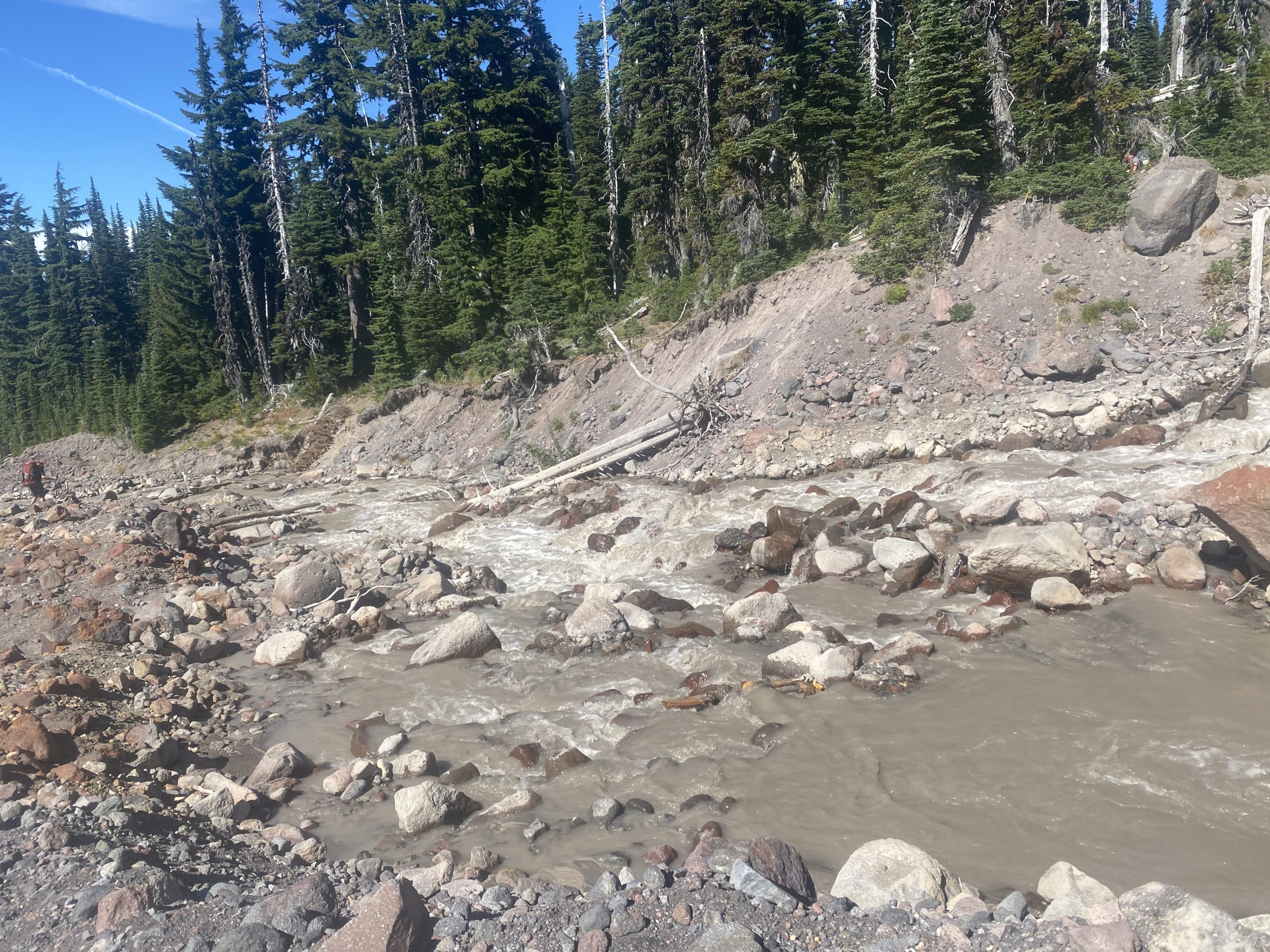
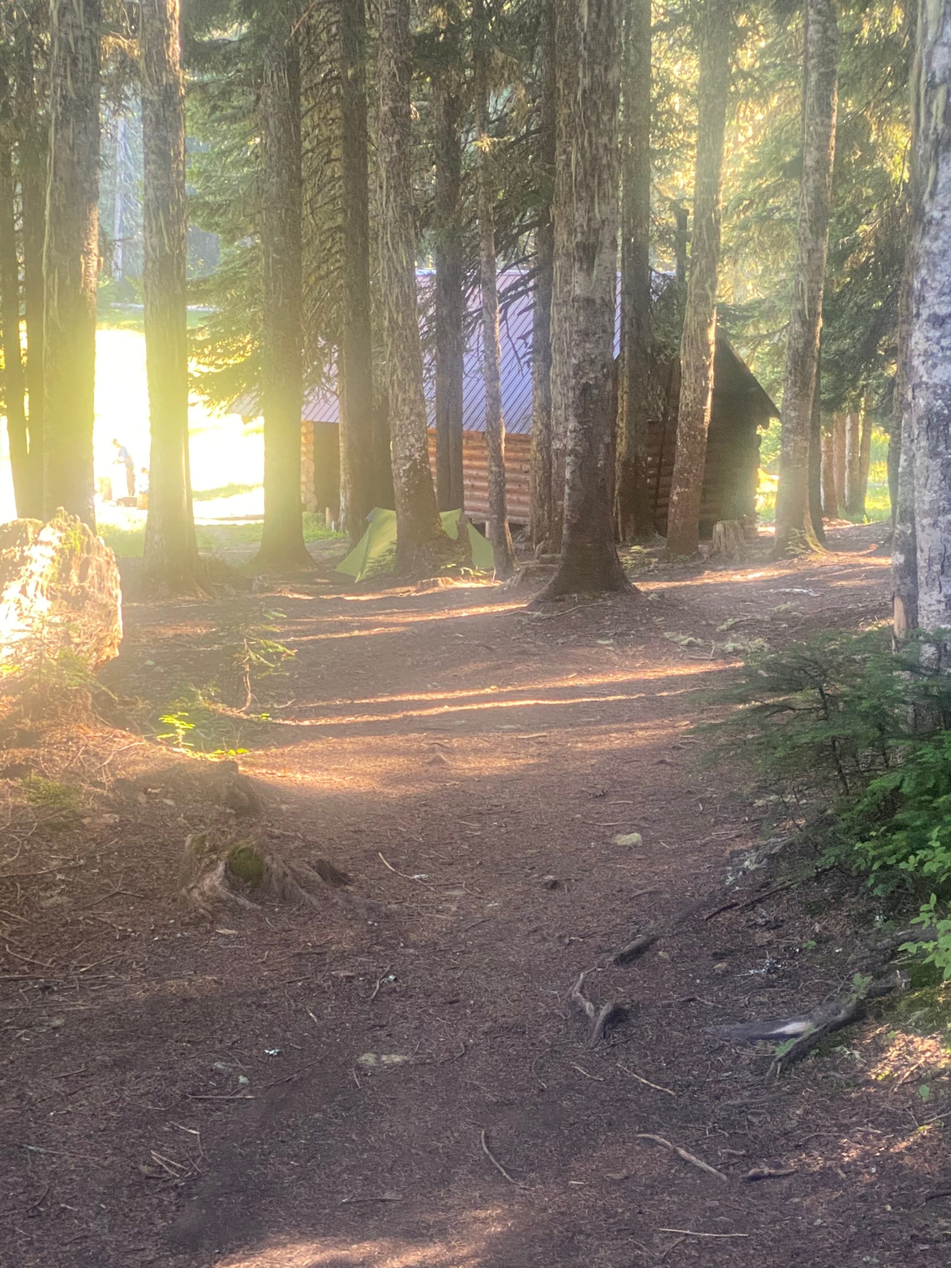
About 30 minutes later there are two rivers I need to cross by wading through them. Some people could get across Adams Creek on a thin log. I knew I would just fall in so might as well have some control. Then comes Lewis River where there are two separate tributaries coming together into one. Need to cross both. Again really the best option was to just wade across. I decided to stop for the day and set up camp after crossing the Lewis River. Nice single camp site and plenty of time to dry things off.
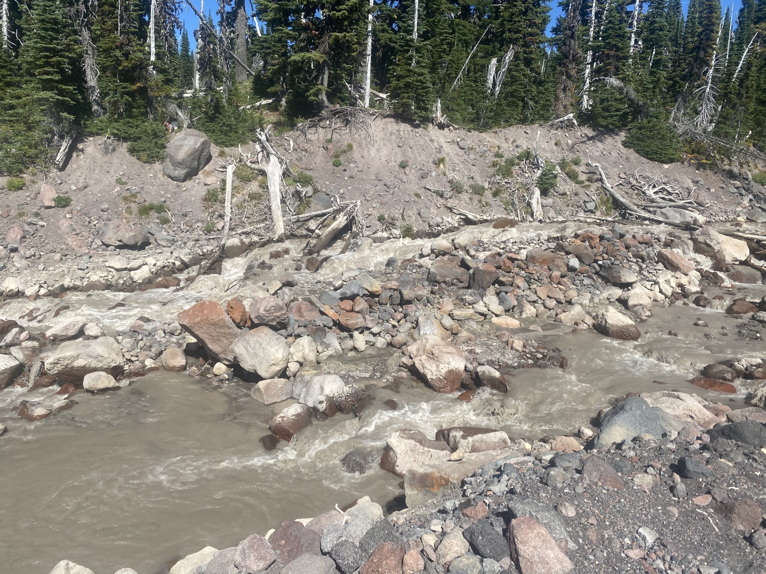
Notice both rivers are muddy and silty. Pretty common for glacier flow. Some locals crossed Adam Creek at the same time as me and asked where they could get water. Told them are Killian Stream. A beautiful place to stop for the night. Getting real close to Trout Lake (13 miles) which is where I will get picked up AGAIN. I have not been near as fast as I thought I would be and I’m going to need to resupply on food. My left shoulder and right hip are starting to feel better but some rest won’t hurt.

Sep 4, 2020 PCT Between 2256 and 2270

Normal night. Wake up usual time and pack and have my breakfast. I really look forward to the morning routine because it is such a good start. In the dark with a headlamp sorting out the treats and food for the day and having my double carnation instant breakfast meal. The water is usually cold because the nights are generally cold and it gives me the energy and hydration needed for a good start to the day. That being said, I am really still laid over from the Knifes Edge and apparently not in a great mood as I only found the opportunity to take 3 pictures today. However, it was truly a walk in the forest and it is perhaps little sections like this that make PCT’ers call Washington and Oregon the green tunnel. All you see are trees.
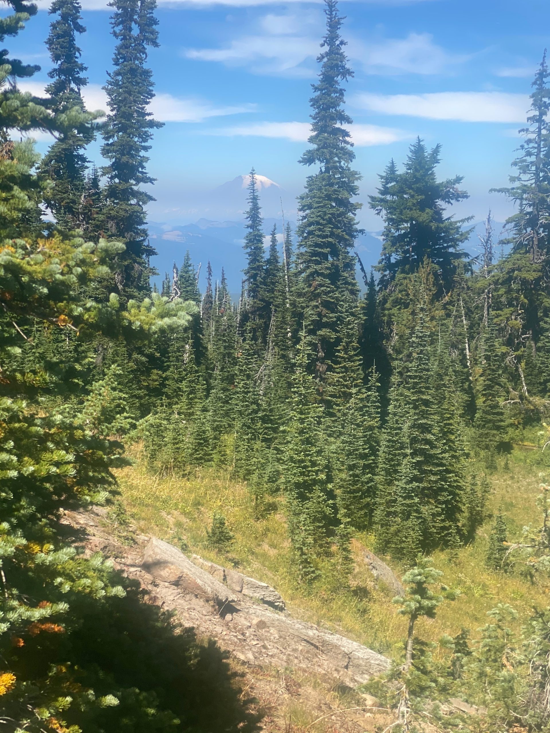
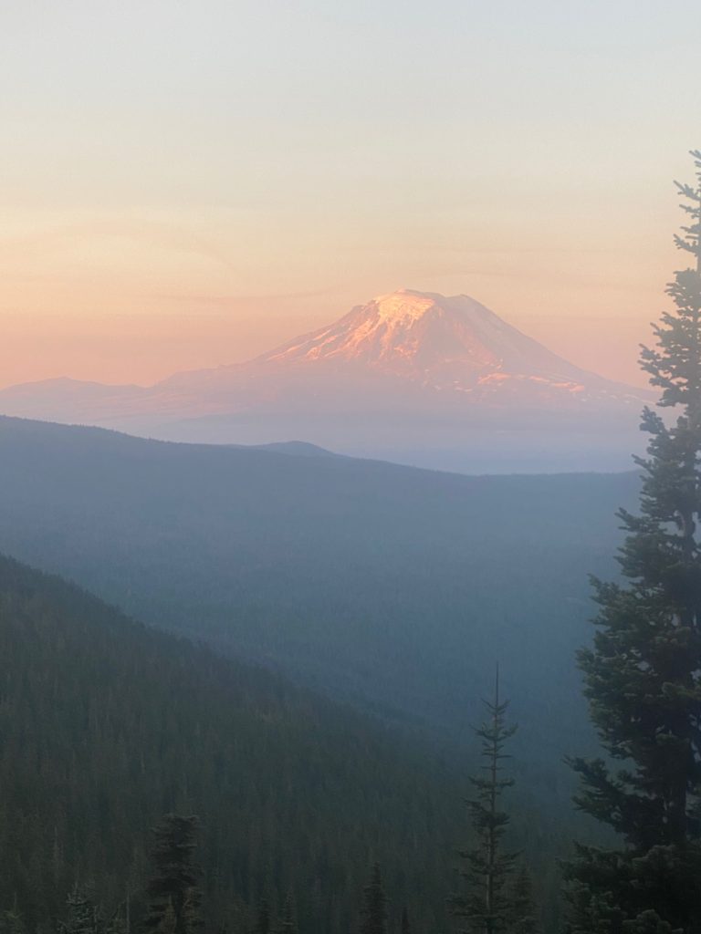
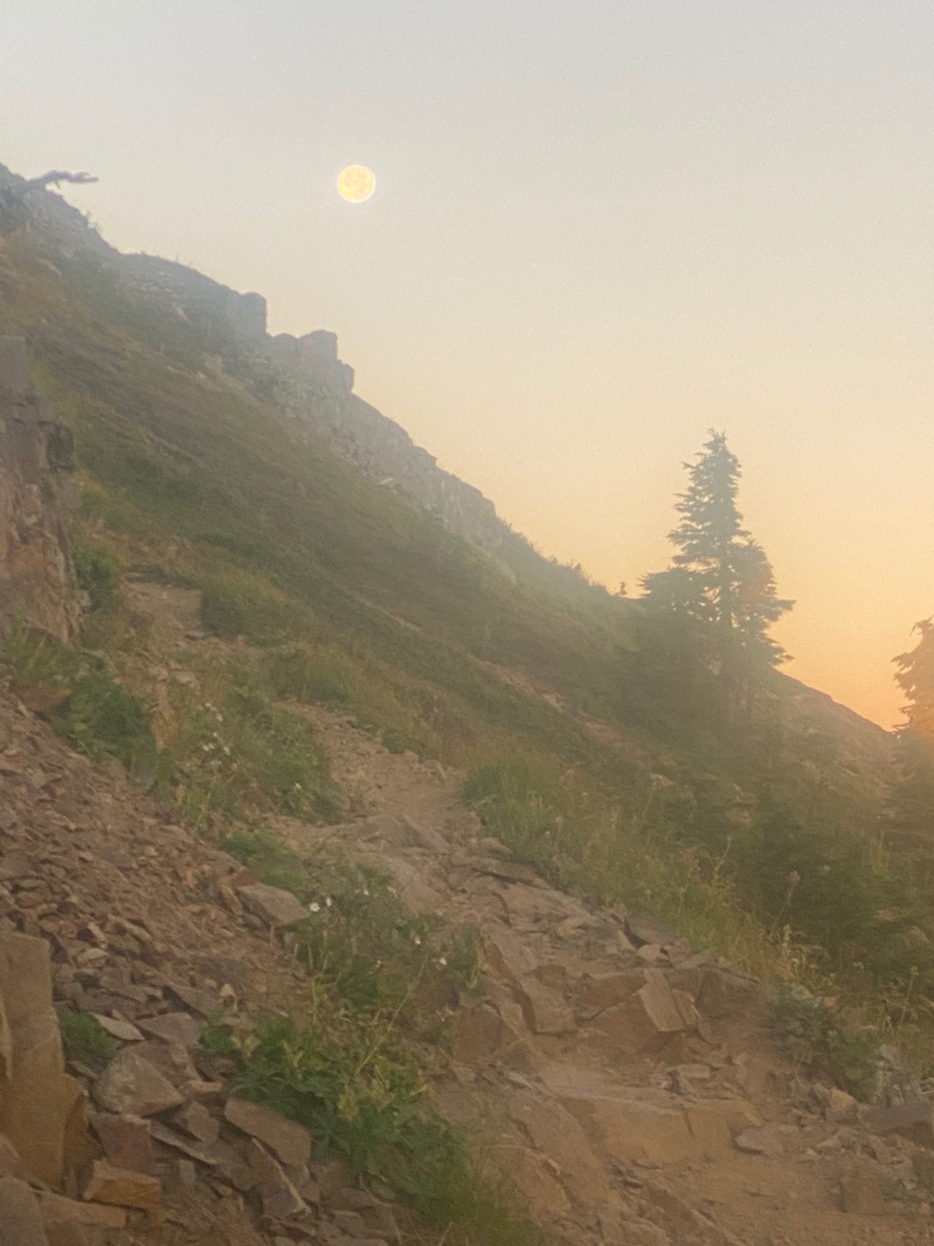
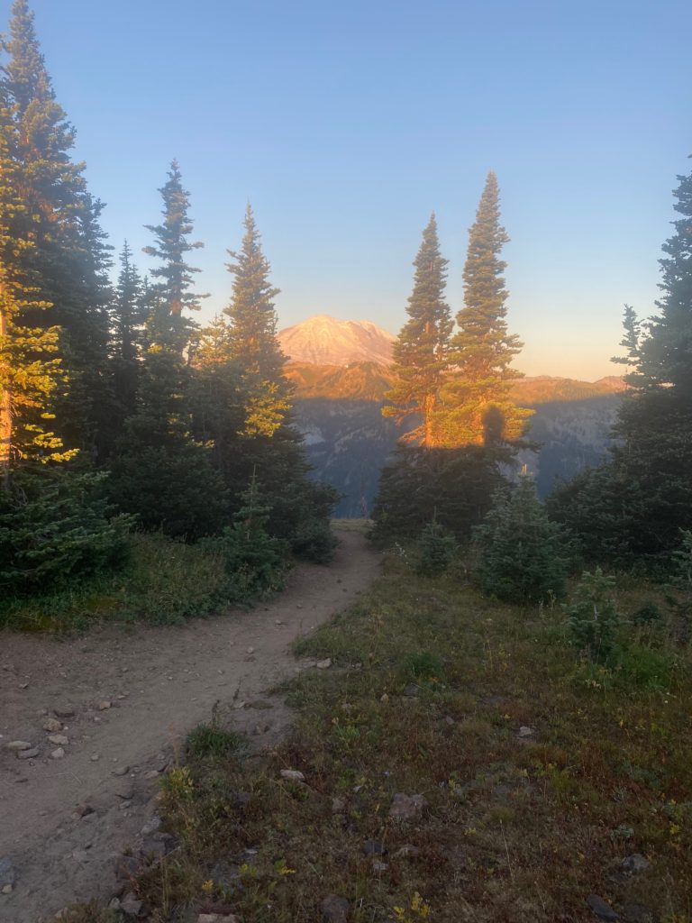
Below is an early morning shot of Mount Adams. Notice the smoke in the air. Seems to be a constant in Washington. This would clear up later in the day.

PCT 2270 to 2256. Mount Adams

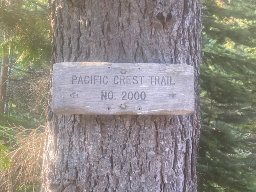
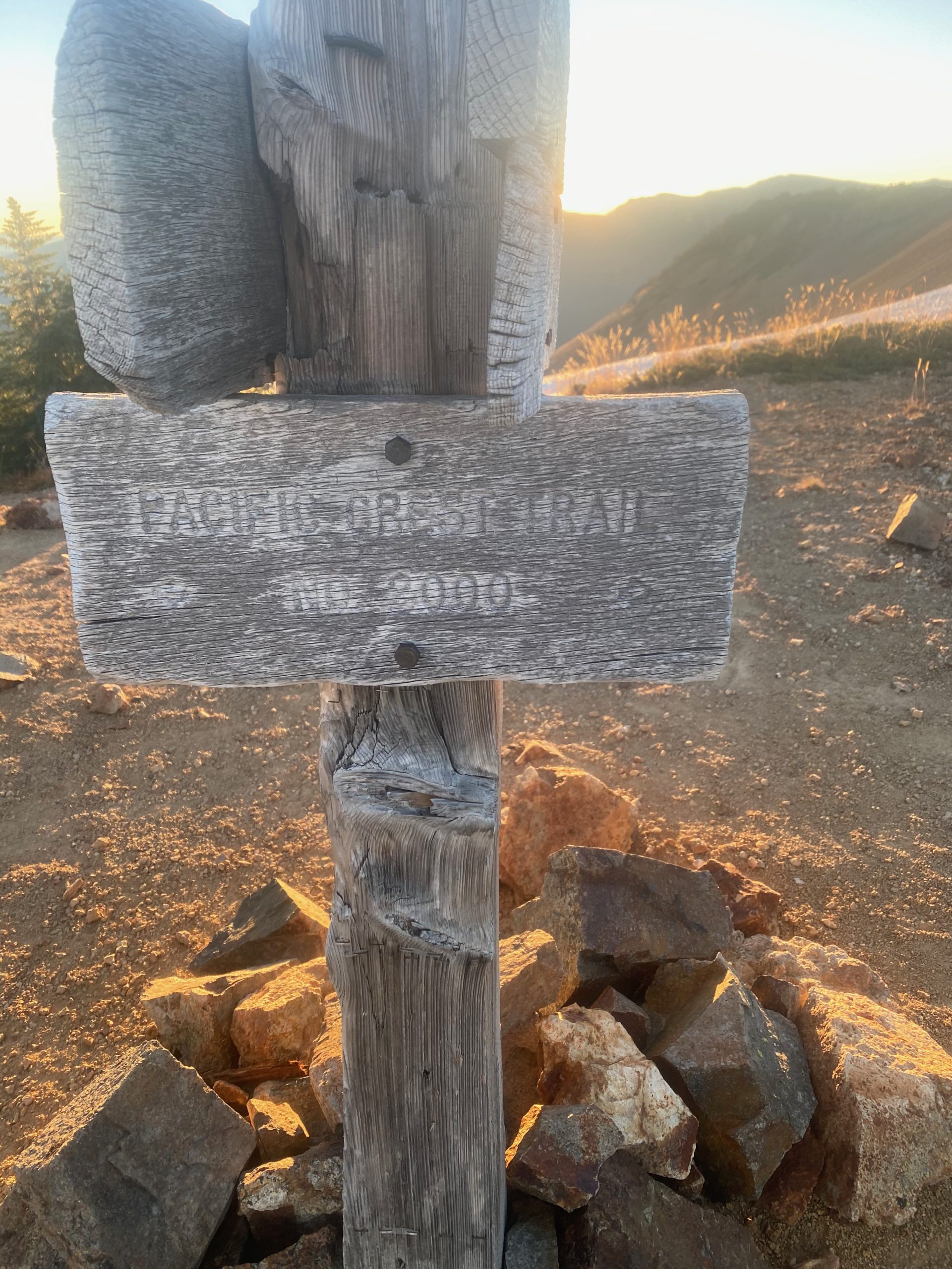
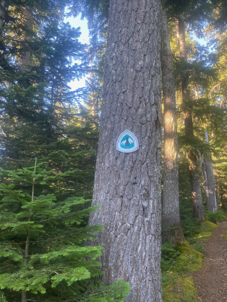
Two hours later I am told I am still on the PCT. It really is always nice to see these signs.

PCT 2270 to 2256. Still on course

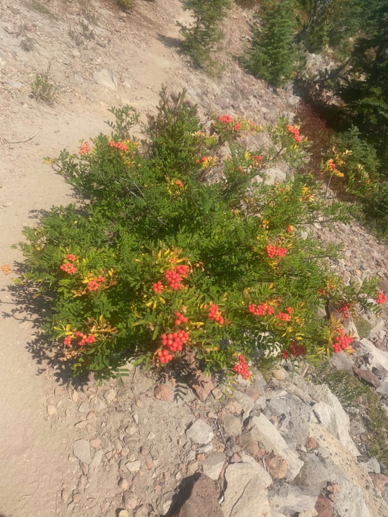
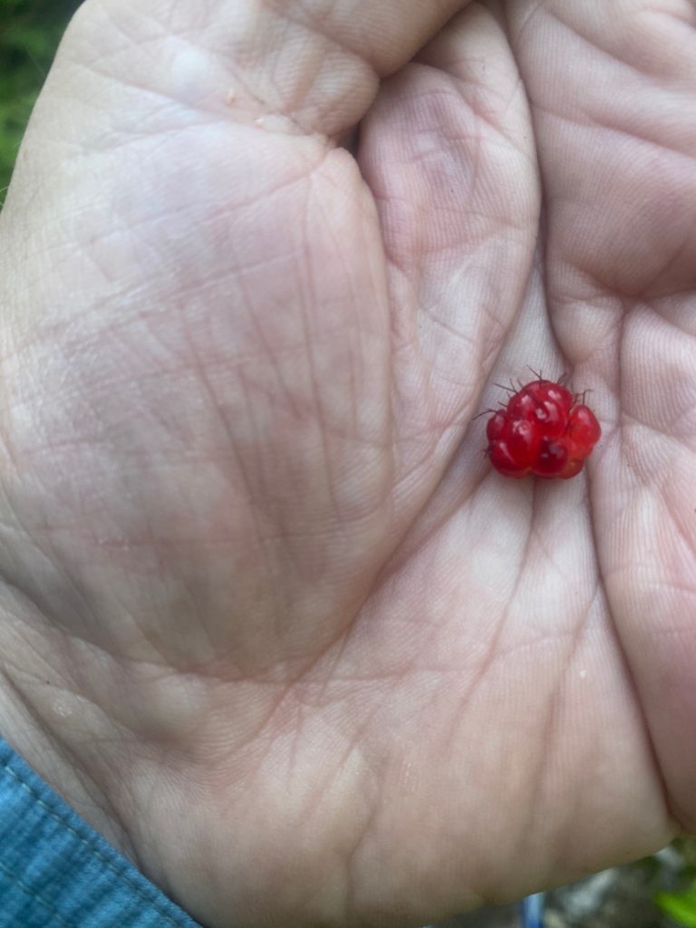
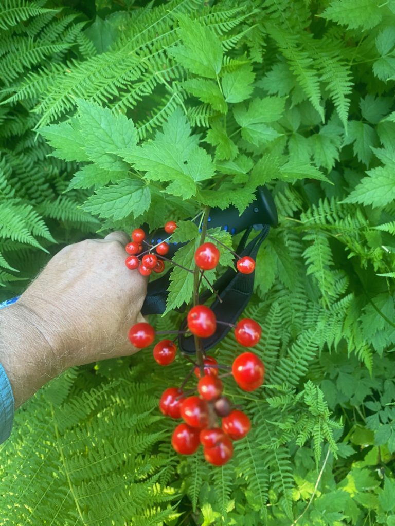
4 hours later I start seeing these bushes everywhere. I really want to eat the fruit but don’t. Find out later it is not toxic exactly but it apparently tastes bad and can upset the stomach. All sorts of critters love this plant as the berries stay on the plant well into winter.

PCT 2270 to 2256. Sitka mountain-ash

All along the walk I am passing by ponds but all the ponds are stagnant and would only be used for water in desperation. I have picked a spot to stop which is by a lake but when I get there it is full of local hikers. I am in the forest in mainly level ground and so within a tenth of a mile I notice a level cleared piece of ground and decide to use it as my camp spot. It is off the trail by a 100 feet or so. I have enough water for the night but not enough for breakfast but not far ahead of me is a good water source according to Guthook comments. I can hike a couple miles in the morning and get some good clear running water rather than lake water. Does not seem like much of a day but I did get 14 miles in which is not terrible considering all the times I stopped to rest one body part or another.
Sep 3, 2020 PCT Between 2270 and 2280

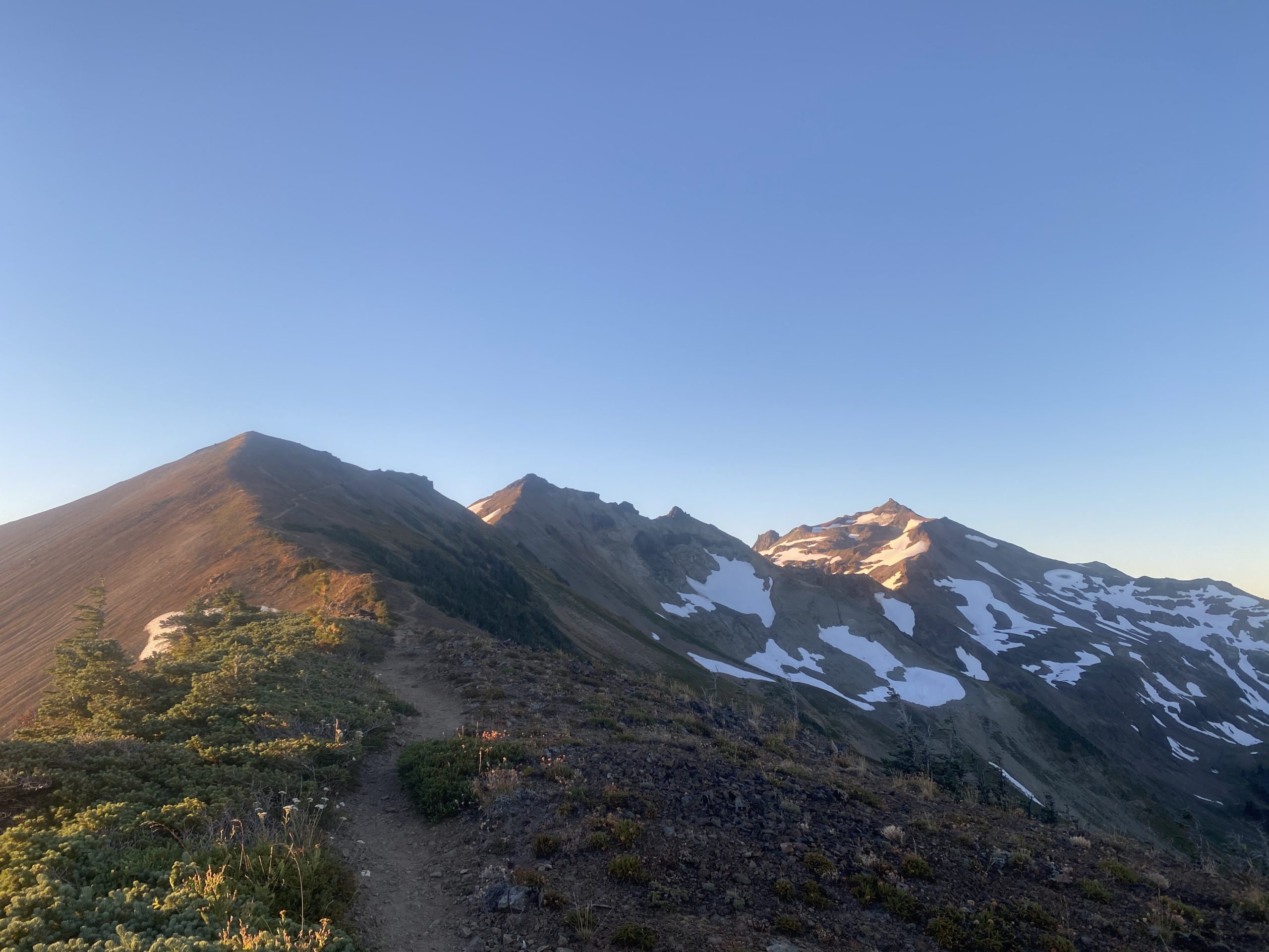
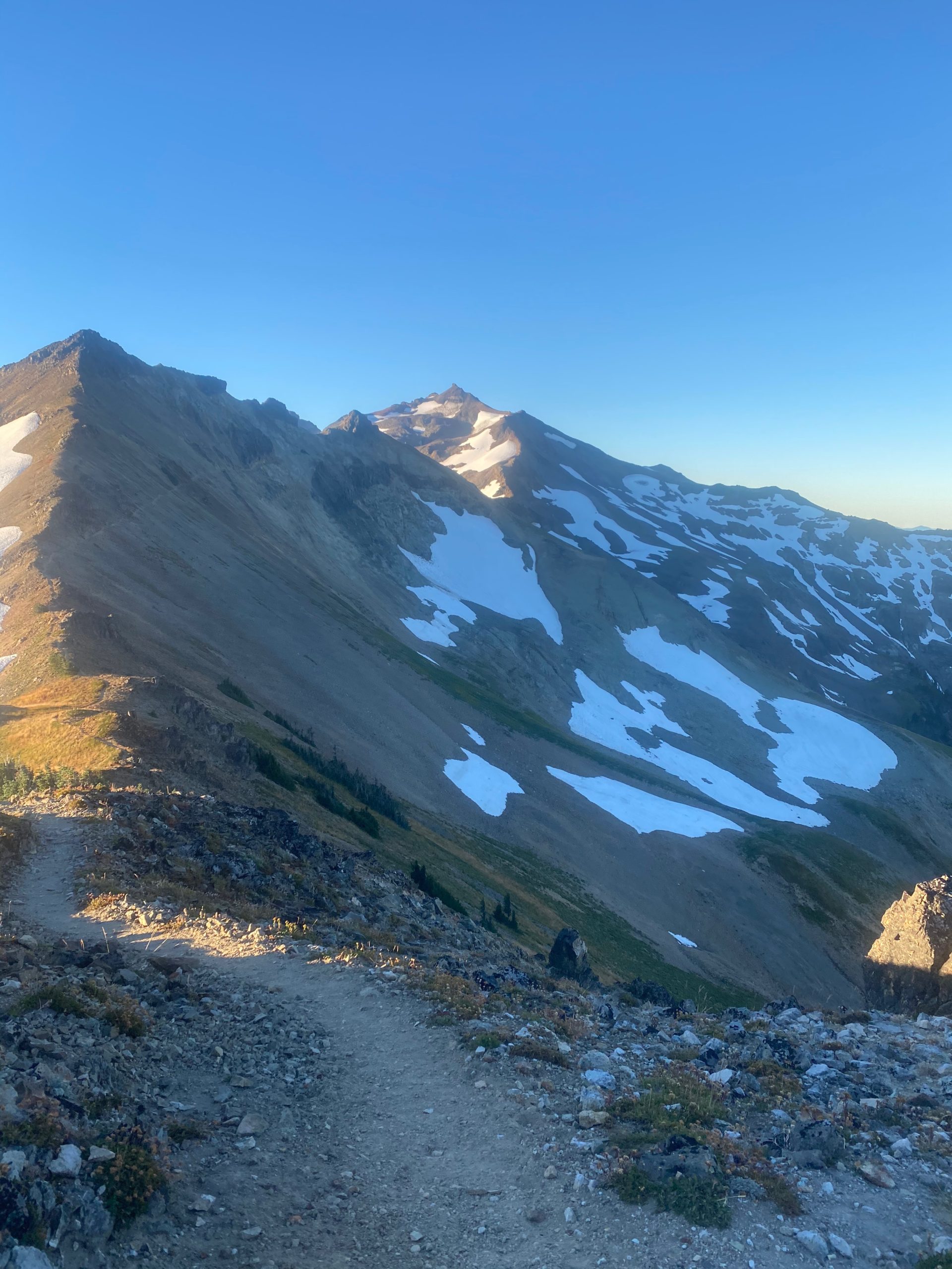
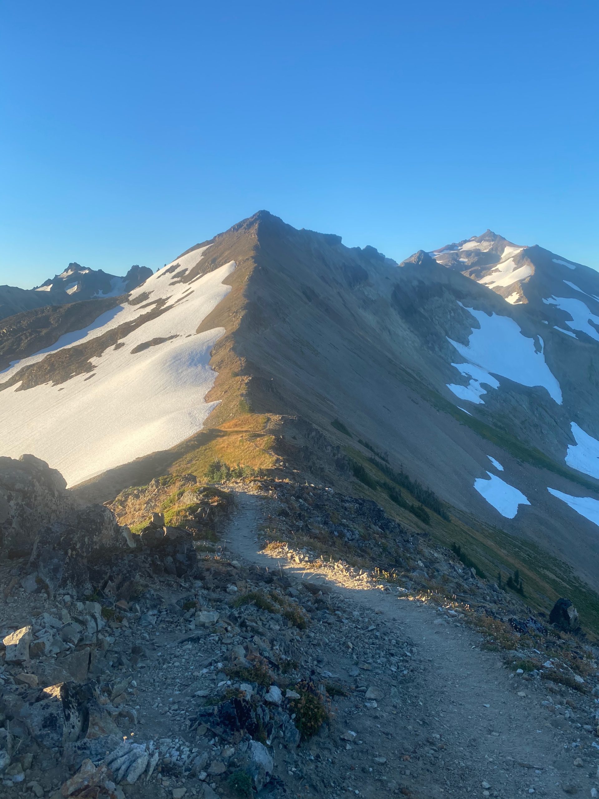
Good night and up at regular time to tackle the Knifes Edge. Nervous. As usual I have a hard time getting going. Everything is so fresh and pretty in the morning. Here are some pictures and videos from the start of the day.

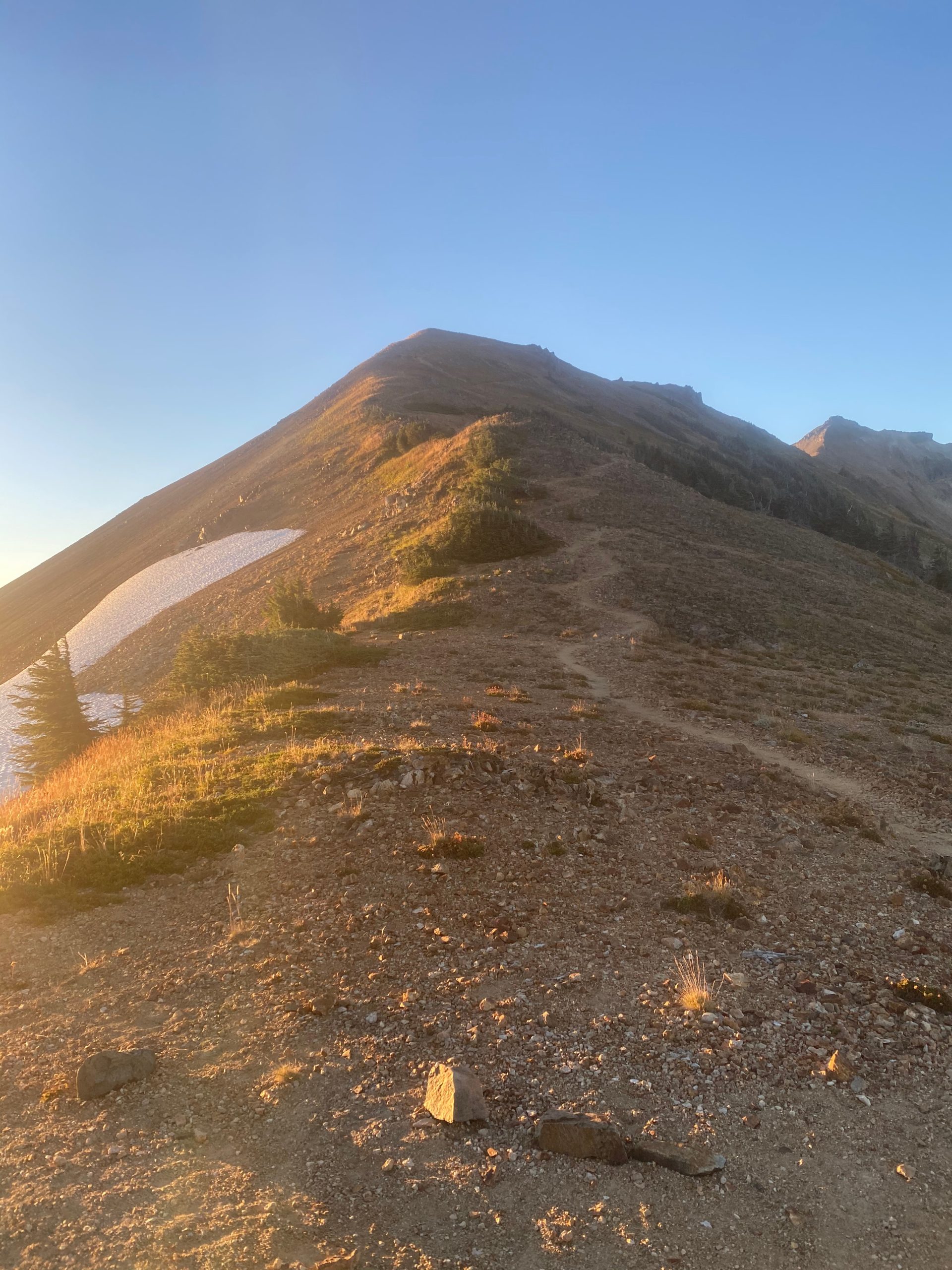
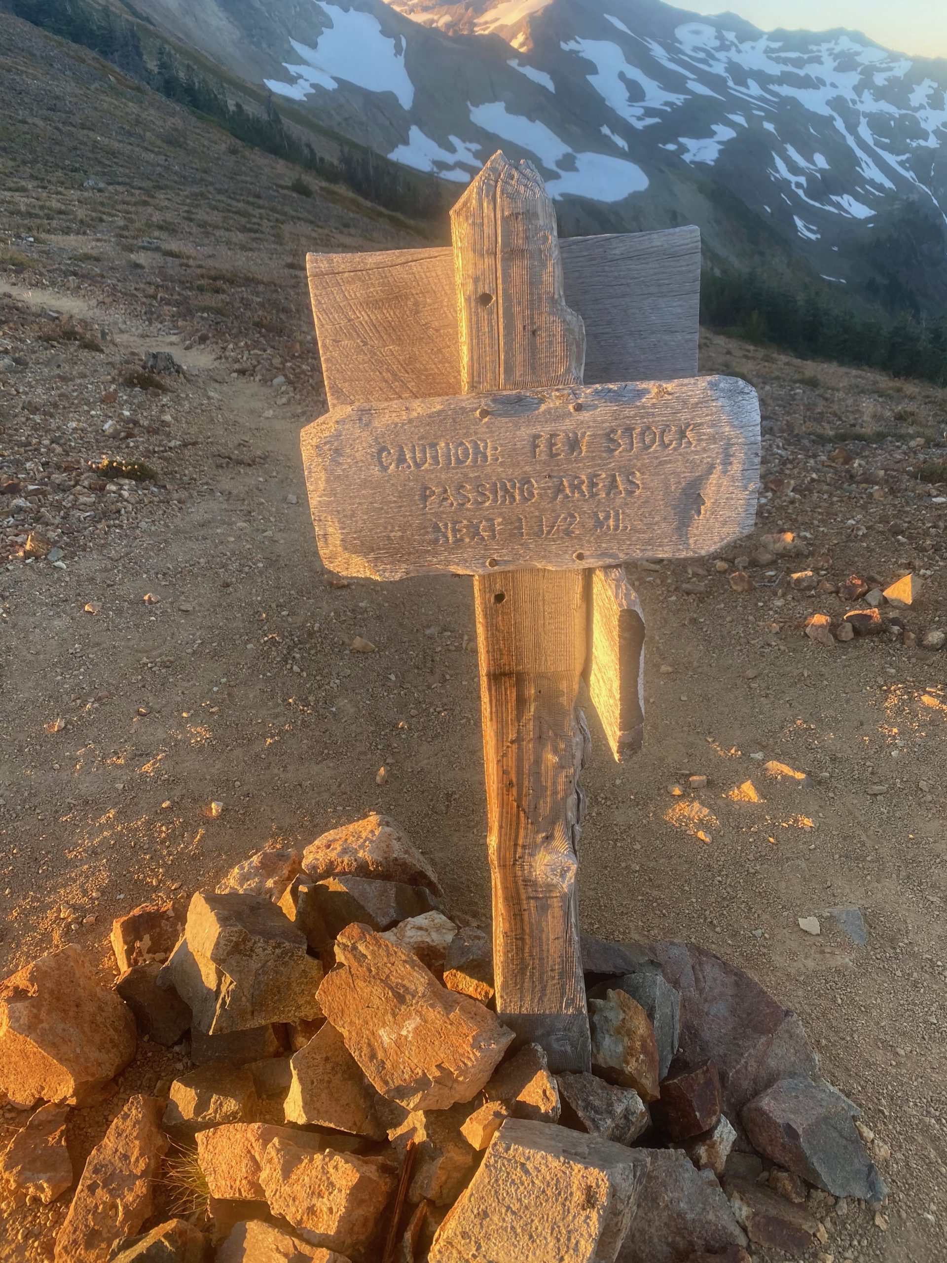
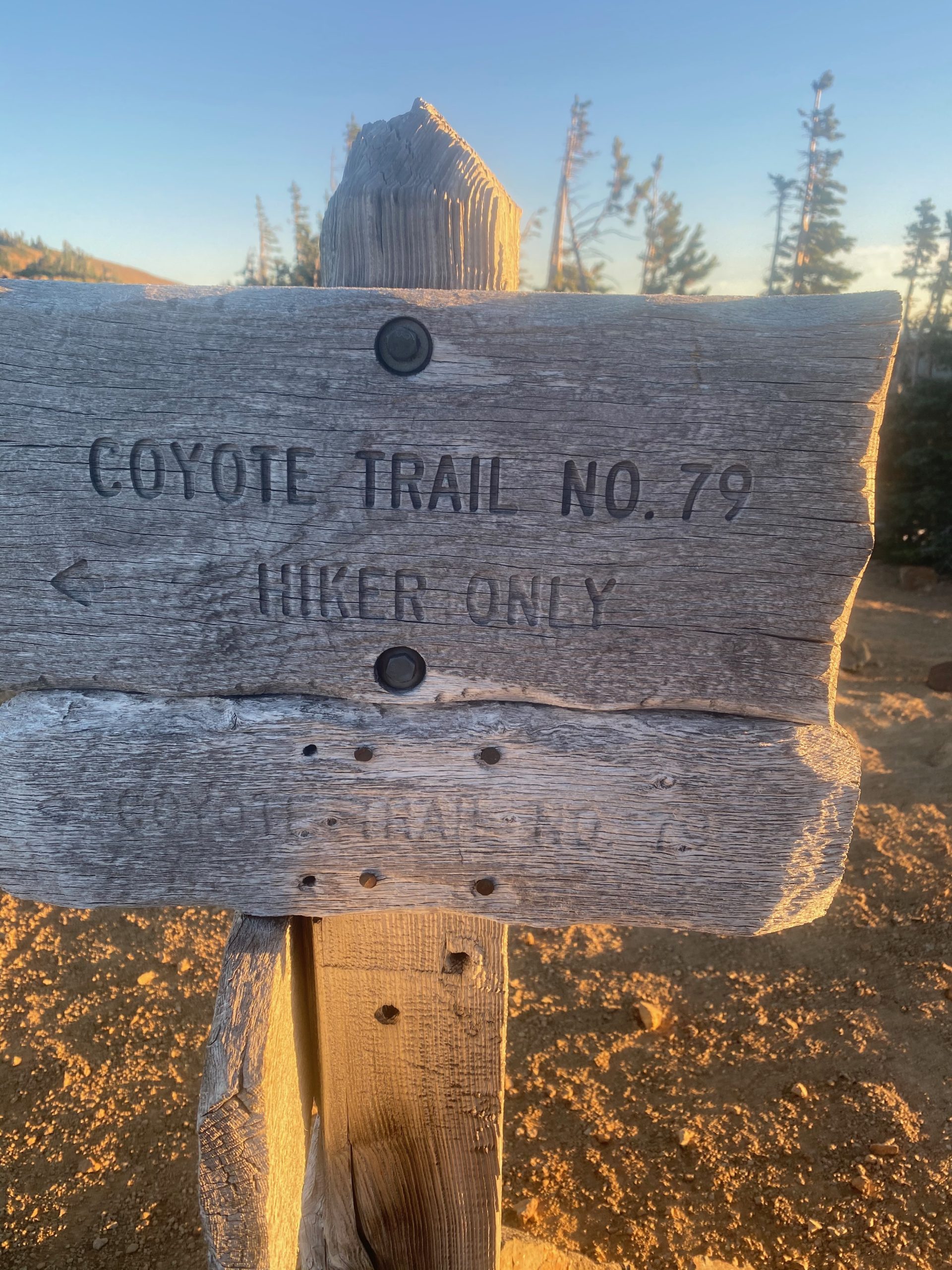
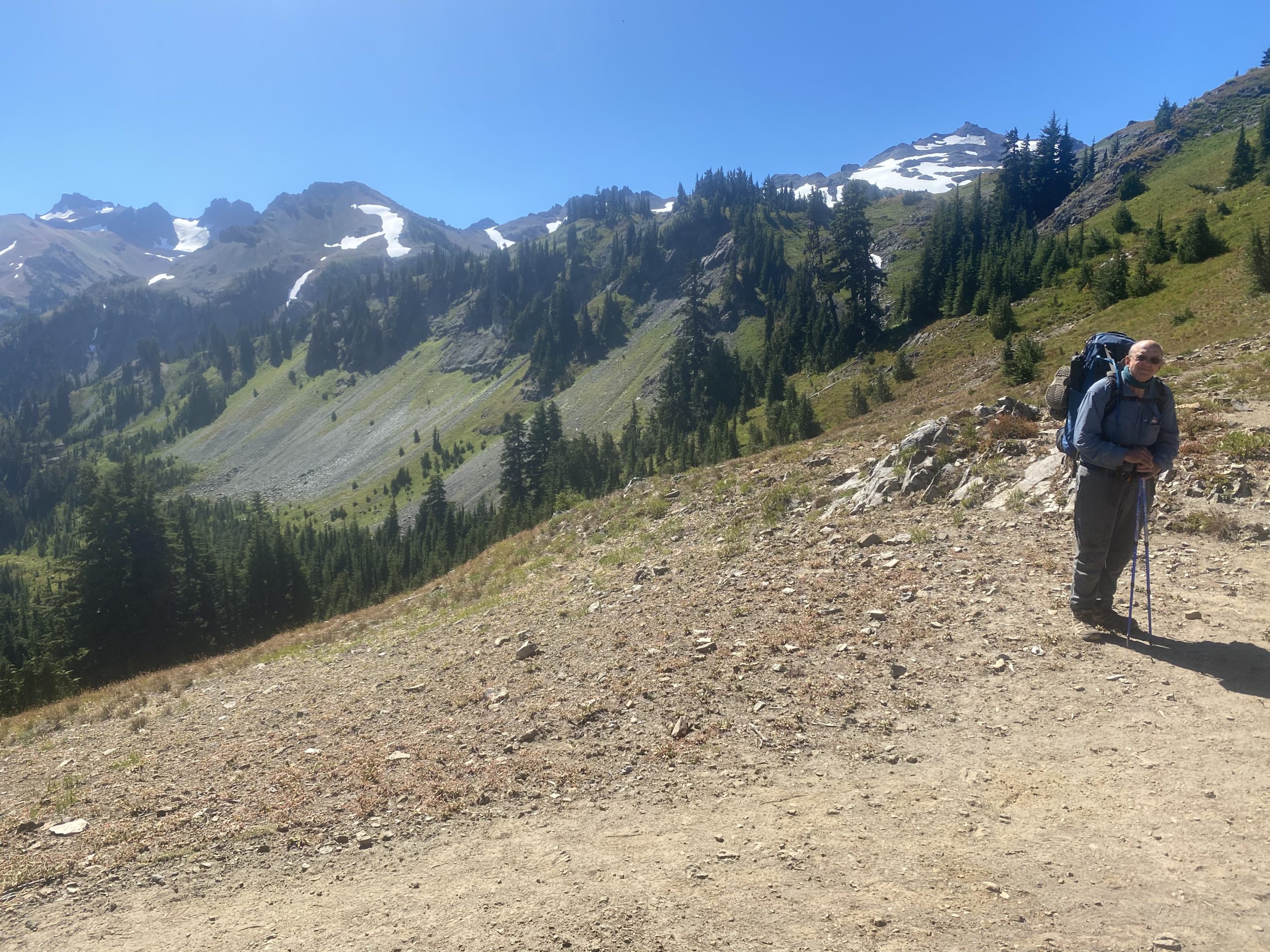
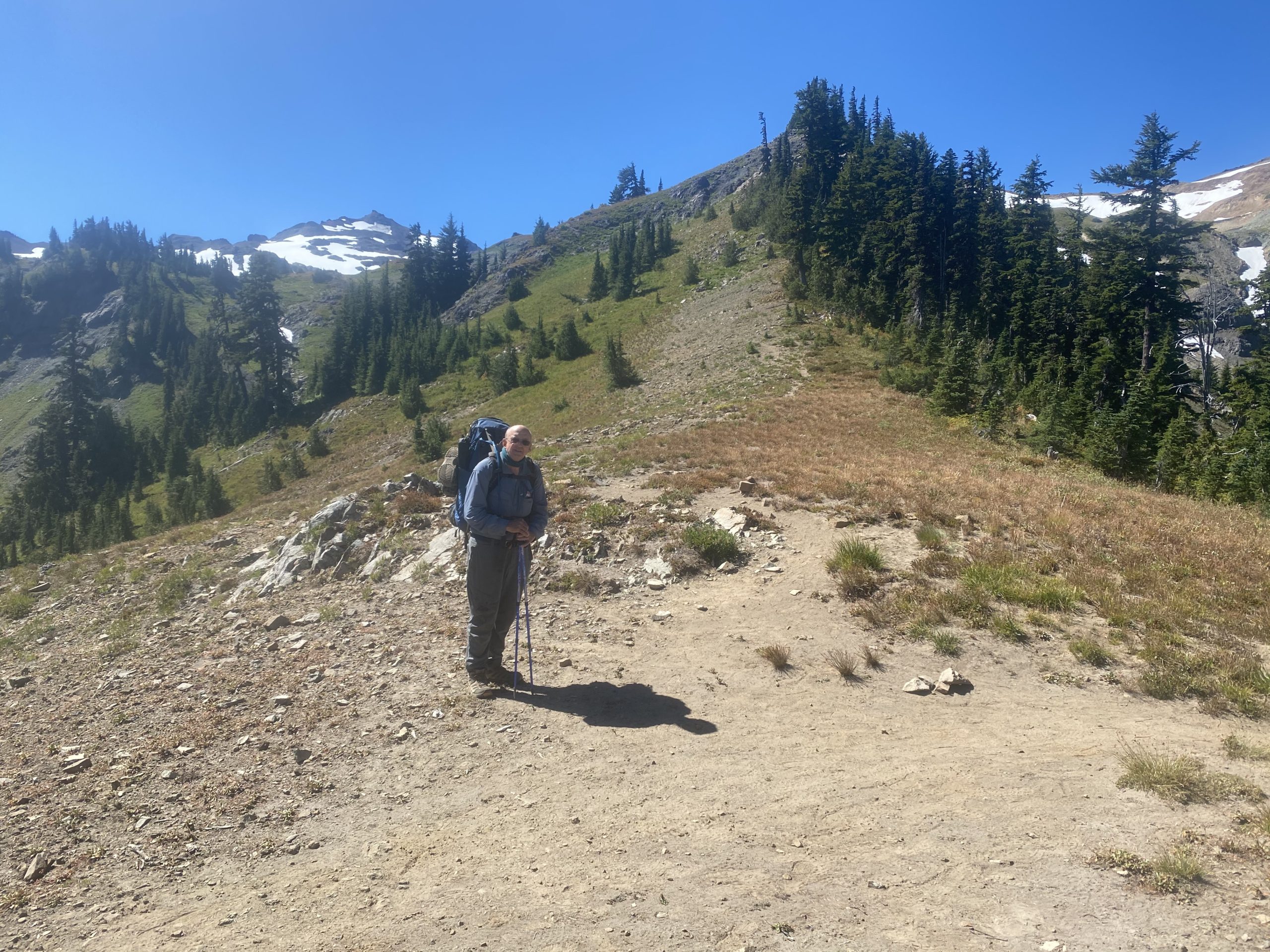
After about an hour I get to what would probably be considered the start of the ascent to the Knifes Edge. There have been two really intensive ascents up to this point but I would say that it is at this point that things get real. Below are some images. Notice one sign is a livestock warning.
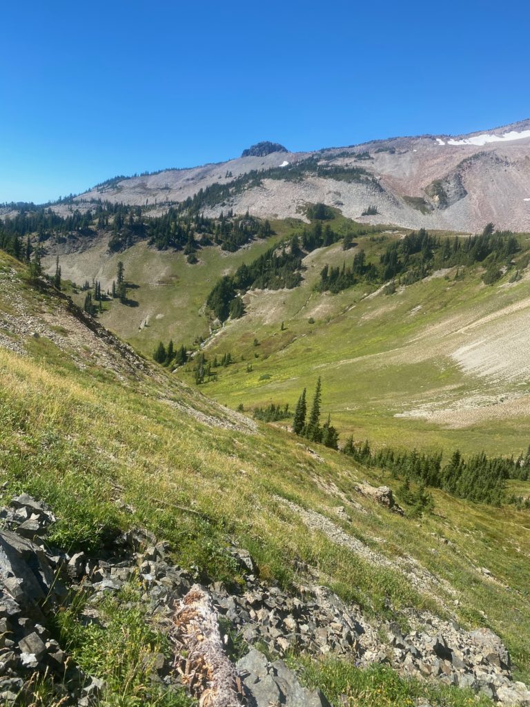
Ok… so going up this slope was not bad. I would not want to come down it. Steep downhill with loose rocks is not a good combination. I believe this is part of the what the two guys were talking about. I don’t think I could go down this slope without making sure each foot was planted and secure before taking another step. Would have taken a long time. Going up however was not bad. At the top of this section is a little wide spot where people (and lifestock I guess) can pass each other. I take this video and some images just a little later.

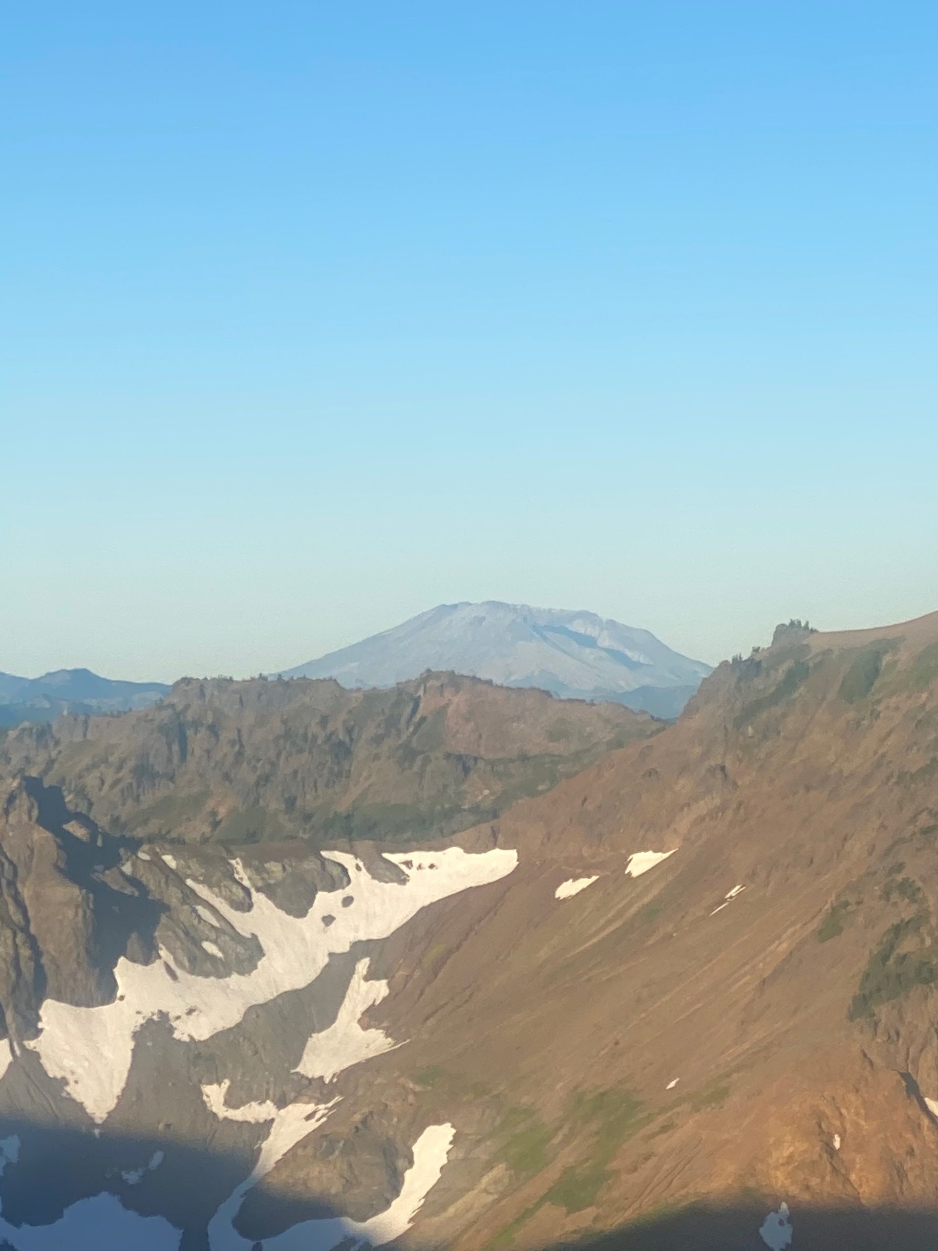
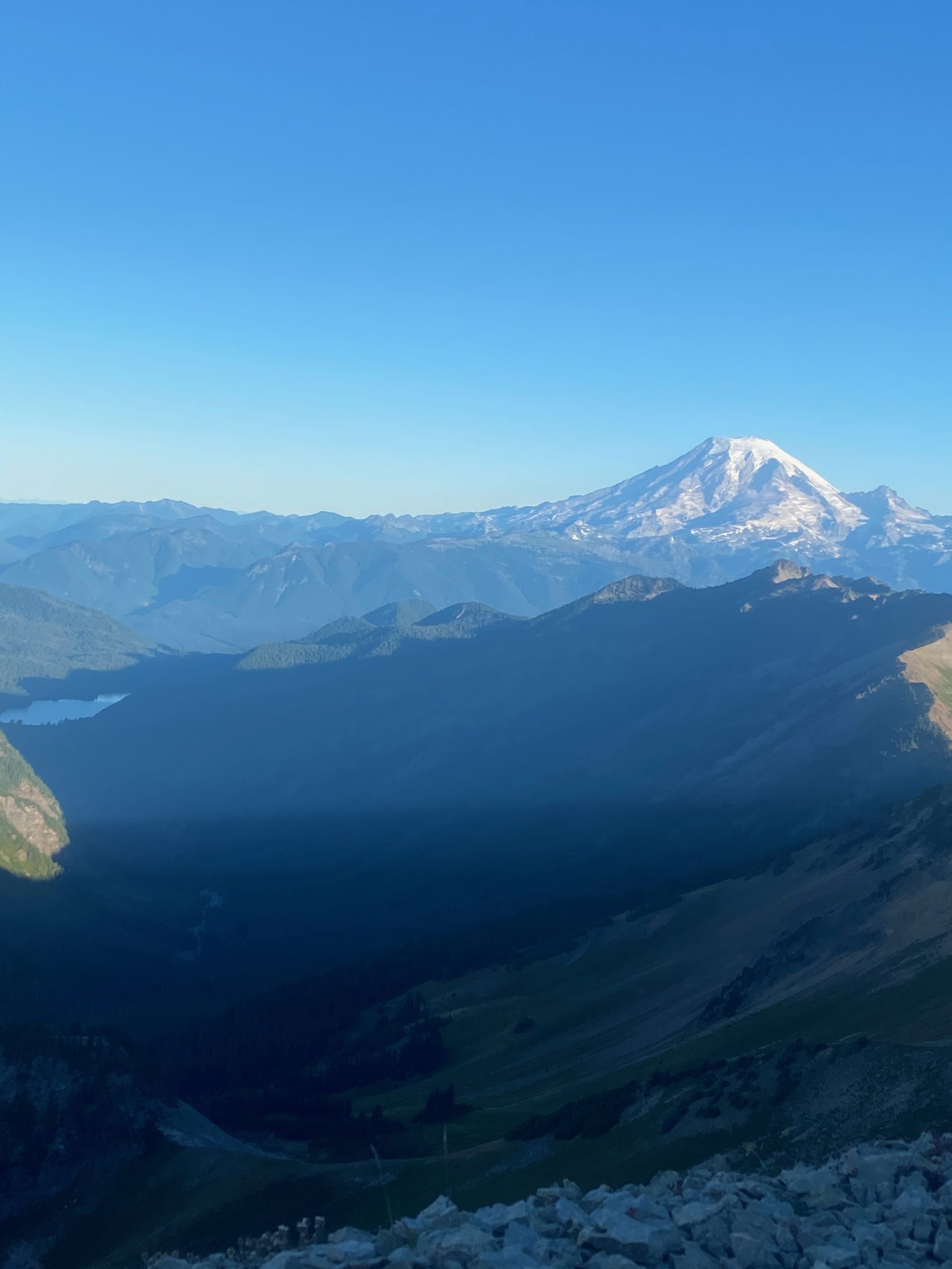
A little later I have some MORE views of Mount Rainier and a view of Mount St. Helens. Between these points where I am taking the pictures I am usually going up a steep slippery slope or going down a steep slippery slope. It is pretty stressful for me. I am tight and I can feel strain on my shoulder and hip. At one point 4 hikers are coming the other direction and just by chance it was at a switchback point and I could wait for all 4 of them to pass by. They are not all together but only takes about 10 minutes before the last hiker indicates there is nobody behind her and I am free to go.

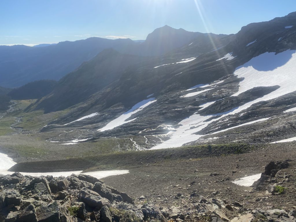
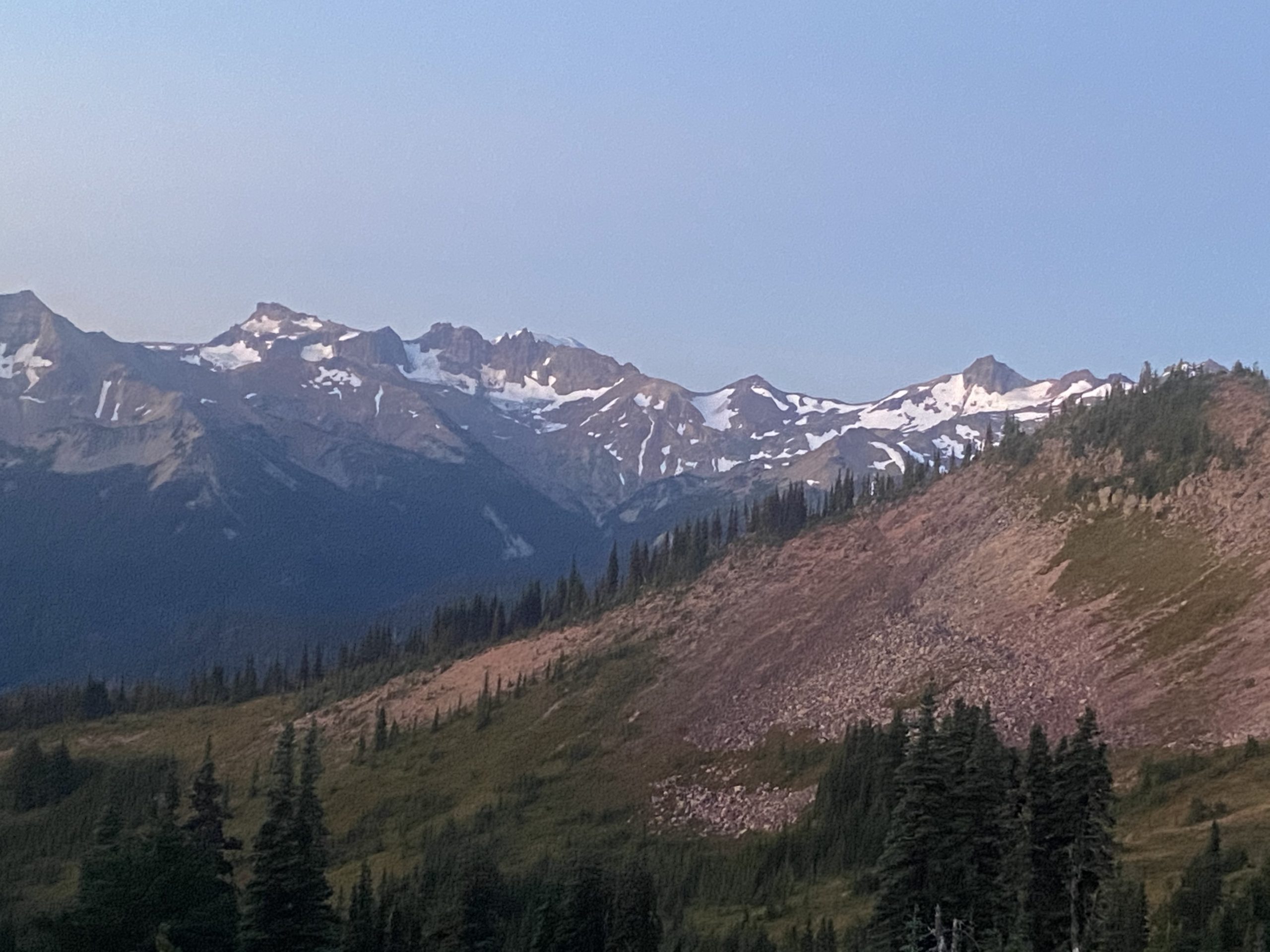
The actual Knifes Edge where you are sure to die if you fall in either direction is a very short part of the trail as far as I can tell. I frankly almost missed it. It really is not clear to me how much of this part is considered the Knifes Edge and how much is just scary trail. I am making this sound pretty bad huh? Well, all I can say is that I did make it across all of it, which I would not have attempted if I was really in fear of my life. I stopped short of Canada by 7 miles so I’m not risking anything. That being said, I would never consider going back to this section and doing it again. It is no place for old men. I think I got the picture below from one of the spots where the trail falls away on both sides. Pretty near the top this is a picture of the other side where the snow is melting. The rushing water can clearly be heard.

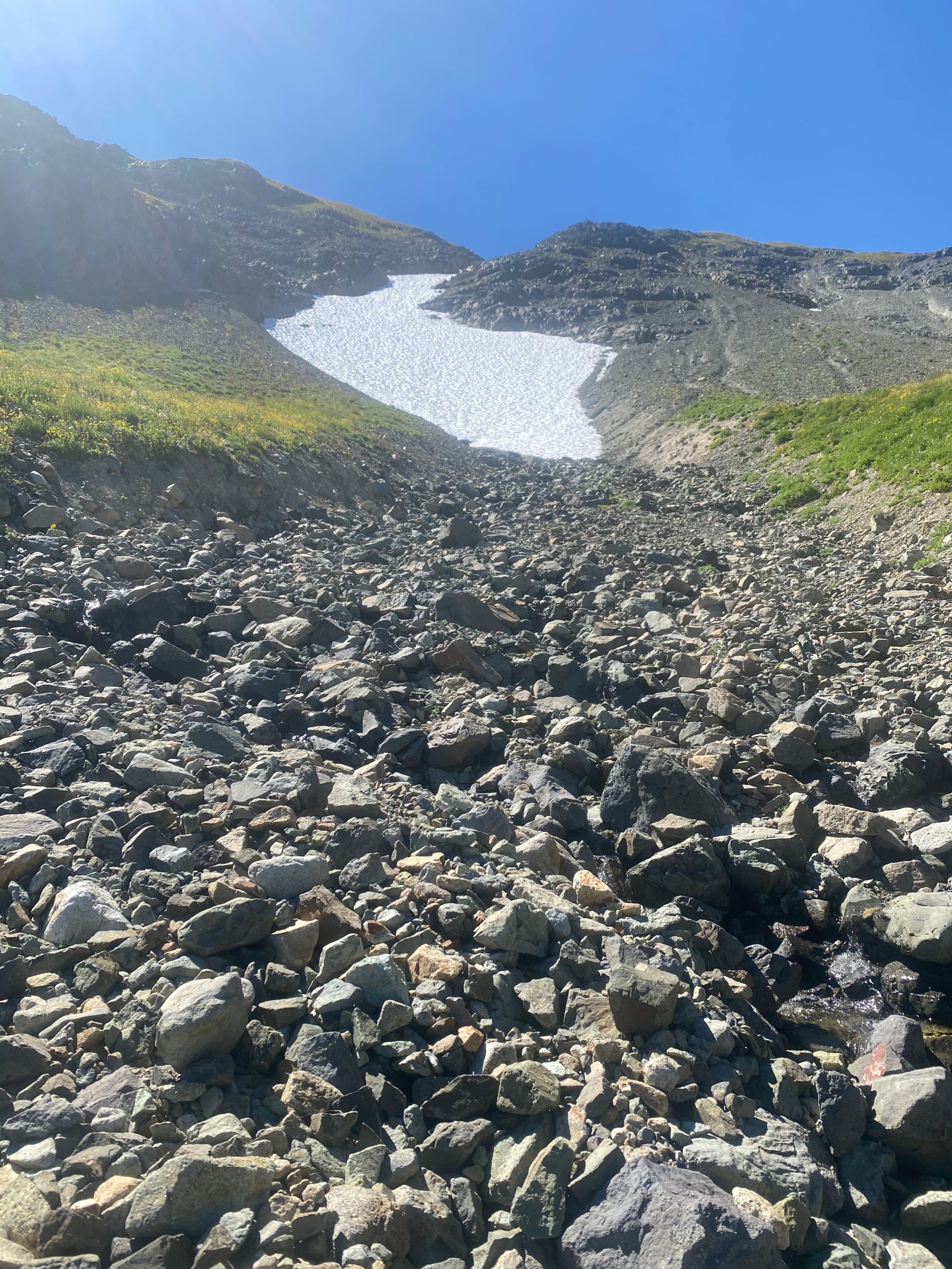
PCT 2280 to 2270. Melting snow

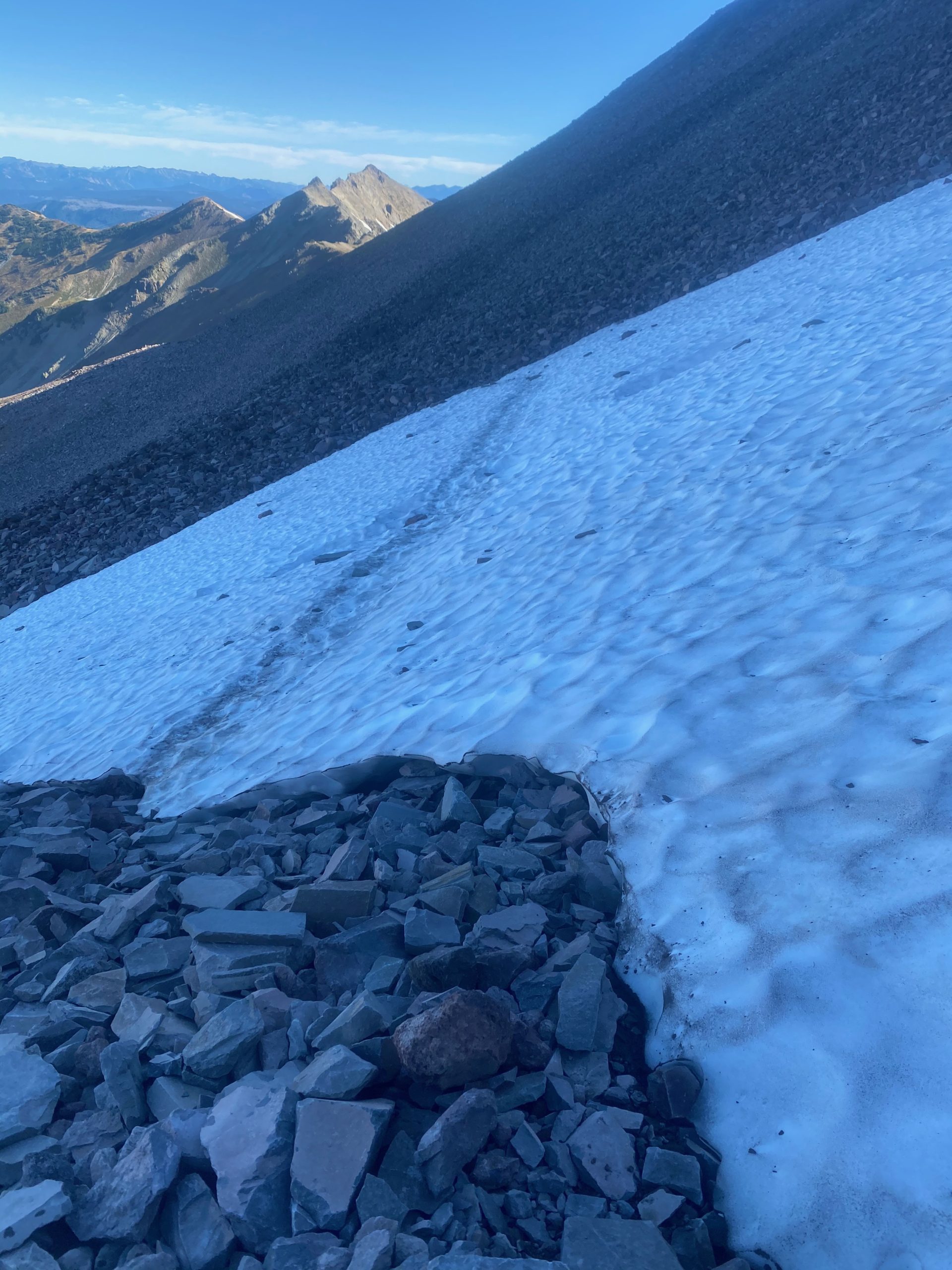
I get to an alternate trail (Old Snowy Mountain Bypass) that I can take to avoid crossing the snow in the image below. As I have learned from others, crossing the snow is either no problem or it is treacherous. The alternate path takes you 400 feet higher and of course then down 400 feet to avoid the snow. I’m not in the mood to go up and down again and so decide to cross the snow. When I get to the snow it is indeed on a steep slope and slipping would not be a good thing. But it had been abnormally warm and even this early in the morning the snow is not ice hard but gives a little when I put my foot in it. I figure it is a lot closer to no problem than it is to treacherous and so I cross. I have mini spikes I can slip on my boots but I don’t figure I even need them. At this point the two guys that said the trail is nasty and the snow is no problem win the day.

Here are some images and videos of the snow crossing.

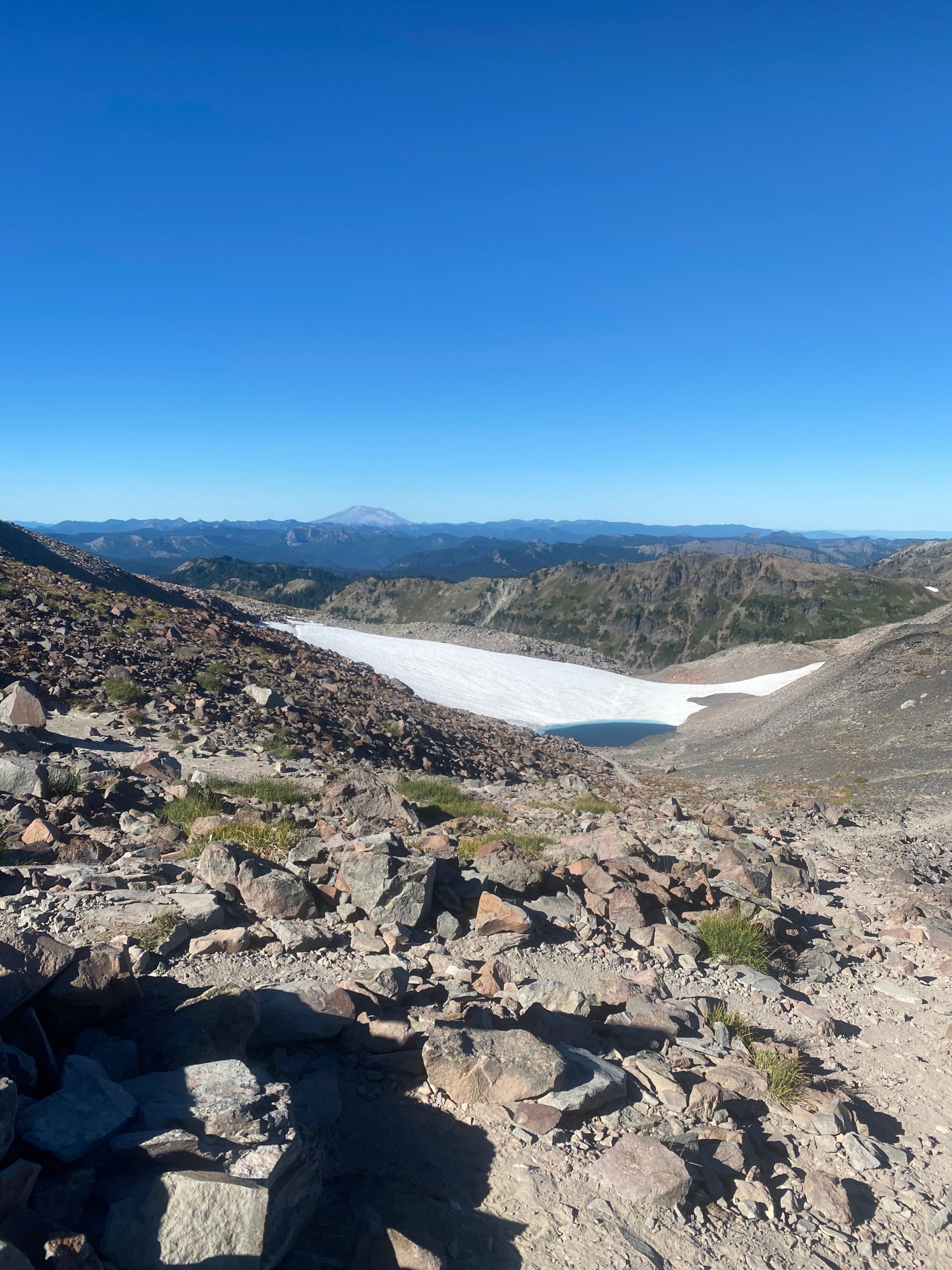
At this point I am basically down from the Knifes Edge and I thank God that I am safe. Not that I was ever in danger :). But I take the time to look around and WOW. Watch the video below. It contains Mt. Rainier, Mt. St. Helens, and Mount Adams. Turn on the sound.

So I stopped short of the Knifes Edge and only did 10 miles the day before and I will stop short after the Knifes Edge and only do 10 miles again. My legs are shaky, the shoulder and hip ache. I’ve only done about 3 miles 🙂 Here are a couple images of the end of day.

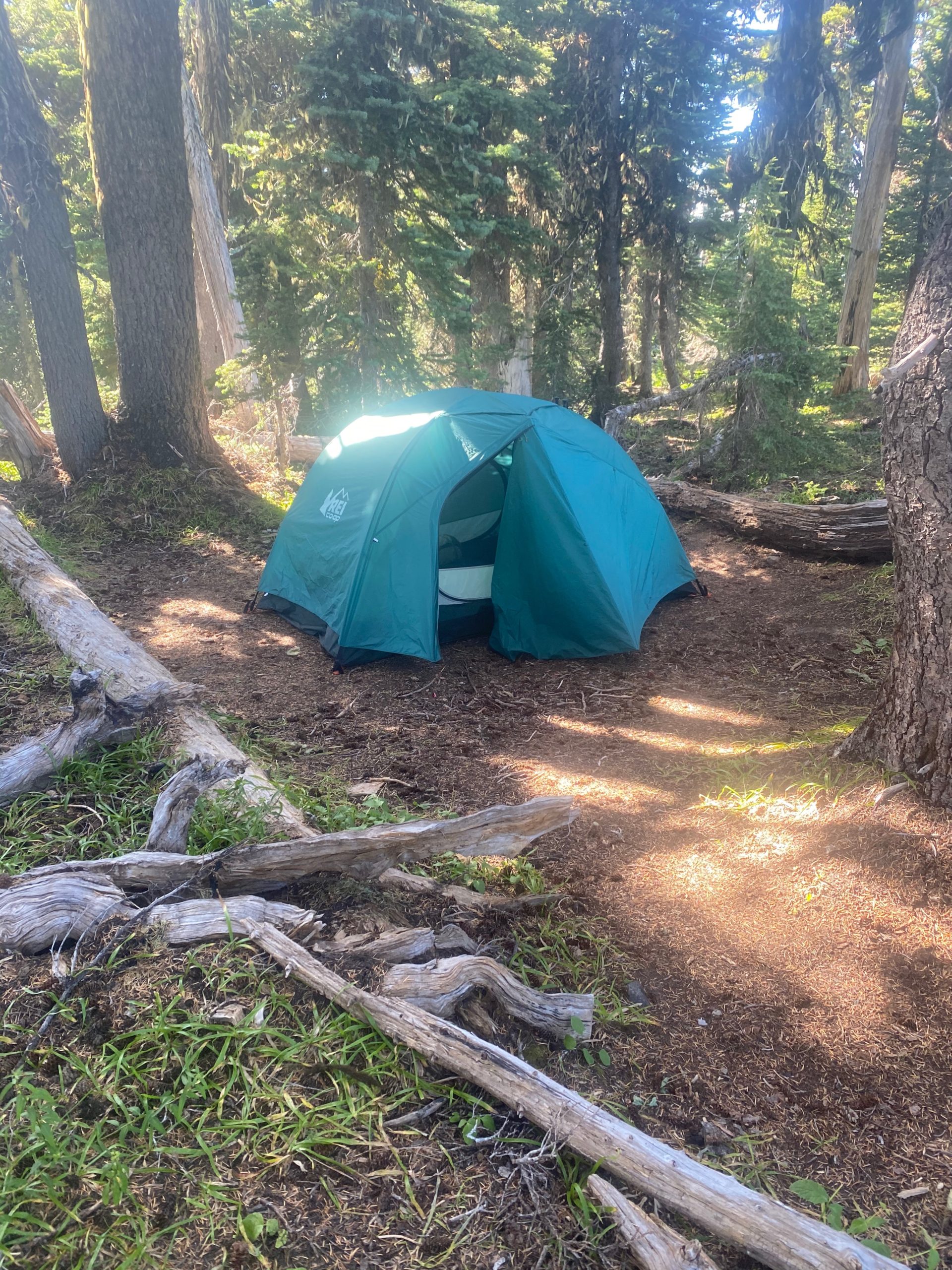
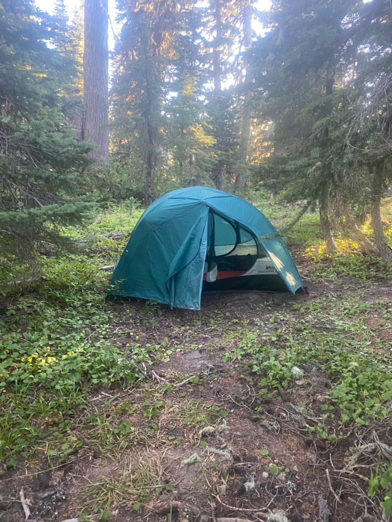
The hiking for the rest of the day was pretty exposed. They are having a little heat wave here in Washington which makes it nice at night and most of the walking in the day is OK because of tree cover. But this section was a little hot. I pass by Cispus Creek which was a really nice waterfall, then ascend to Cispus Pass and descend into and through a bit of the Yakima Indian Reservation (no hunting or trespassing…. stay on the trail). I stop very close to Sheep Lake. I walk down to the late (1/10 of a mile) and notice there are really nice camp sites on the lake BUT they are all occupied by local folks out for a hiking weekend. I just gather some water and return to my camping spot. As I go back up there is a young man sitting on a log and looking a bit worried. He indicates he is heading for Knifes Edge but is worried about the lack of water as all the sources seem to be drying out. I tell him there are about 5 miles of dry hot hiking but then Cispus creek is wet and beautiful and once he gets to the Knifes Edge area there is water from the snow melt. He is also worried about crossing snow since he will be taking side trails and could have more snow that the PCT. I offer him my mini spikes because I am sick of lugging them around and he gladly accepts. When I get back to camp I notice a knife on the ground. Whoever lost it there is probably very upset. A good HEAVY knife. I think I broke out even on weight.

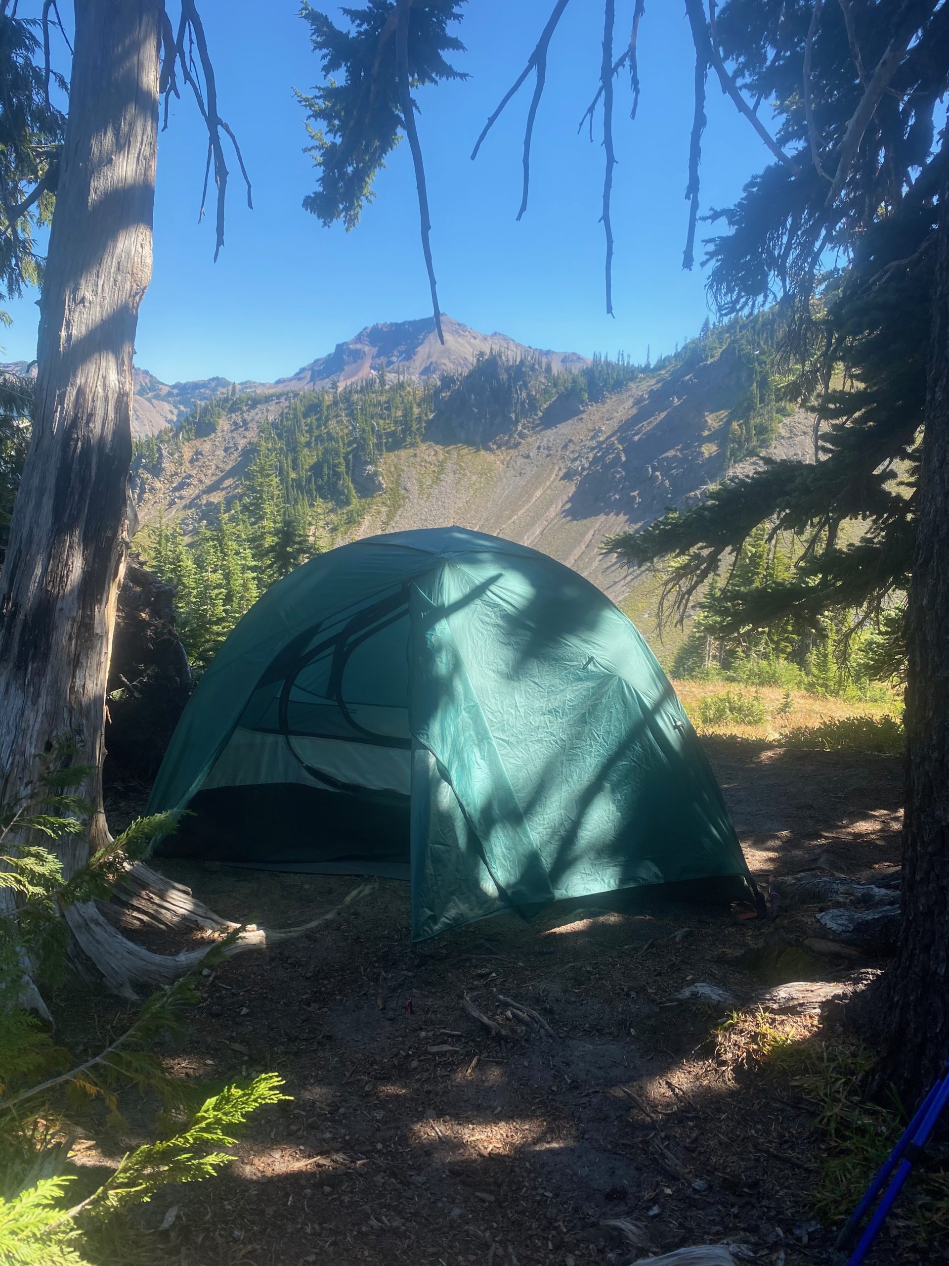
PCT 2280 to 2270. Tent site

Sep 2, 2020 PCT Between 2280 and 2290

It was a good night and I get up early and try to quietly pack, eat, and start the day. By 5:30 I am hiking with a head lamp on but that usually comes off by about 6 in the morning. I think I have a good planned but what I really do not realize until later is that my intended camping spot for tonight is on the other side of the Knifes Edge. When I find that out my plans will change. Such a beautiful morning. Here is a collection of videos and pictures. I just kept stopping and looking.

There are two guys heading north and have recently gone over the Knifes Edge. They indicated the snow was not a problem but that they were not prepared for how steep and slippery the trail was on the way down. Narrow trail with loose rock underneath at a 16 and sometimes 20 degree slope. They indicated the trail had not been maintained. True actually for most of Washington this year I believe because of COVID. They also indicate that a number of people did not attempt the Knifes Edge yesterday because of high winds. Right now the winds are mild. I meet another guy and his two adult children at Lutz Lake and he indicates that the trail is perfect but that the snow was treacherous and they opted to use the optional trail to go above one of the snow fields. He said as far as he could tell if you slip on the snow field you will end up going down for 1/4 of mile with nothing to stop you.

So the trail is either good or bad. The snow is either not a problem or treacherous. I just have to laugh.

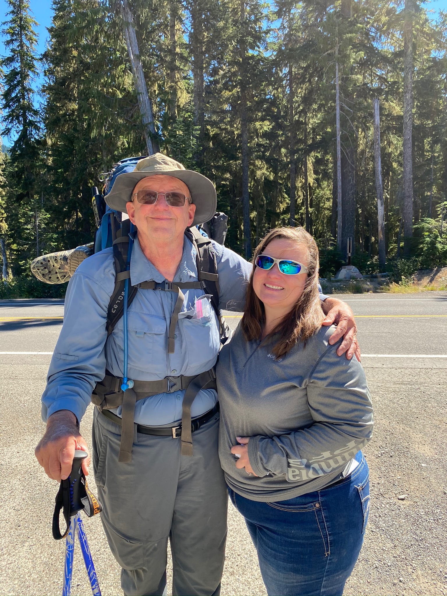
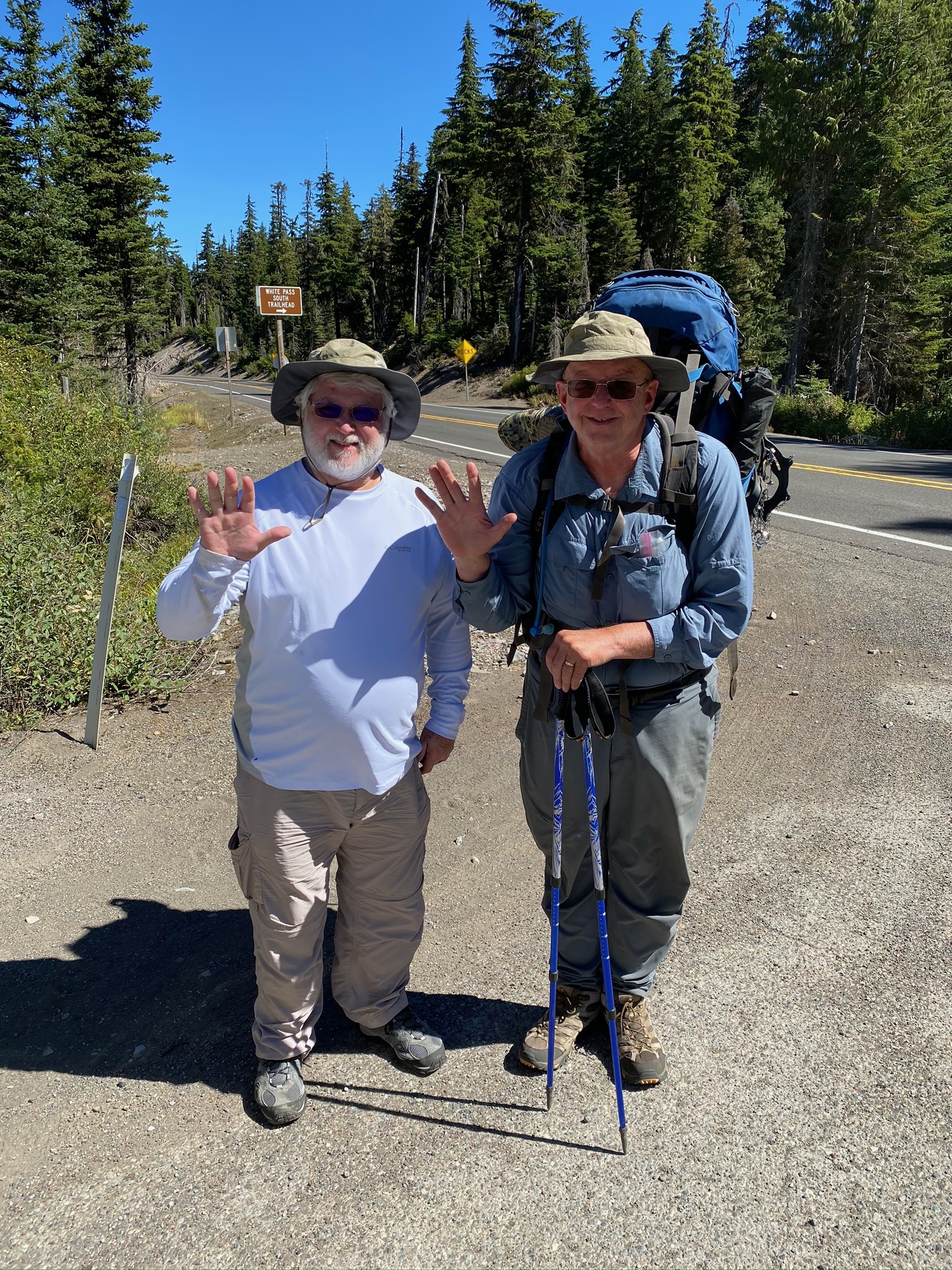
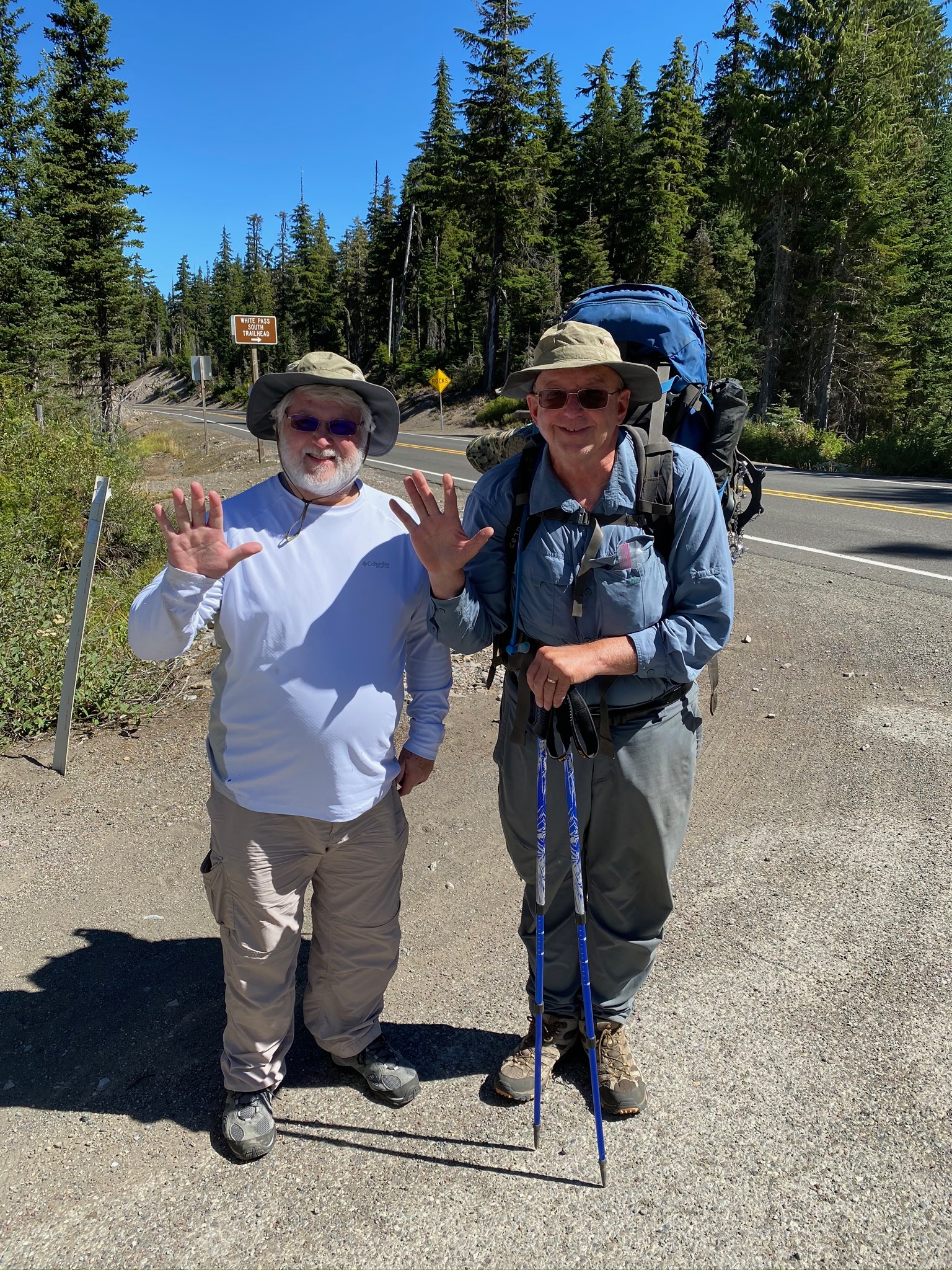
Around noon a gal passes me and we talk a bit. She is doing an 8 day hike. Going from Trout Lake north for 4 days and then turning and returning to Trout Lake. So she has gone over Knifes Edge and is about to do it again. She said there were no issues. Anyway she asked where I camped last night and I indicated at the top of the climb from White Pass. How about you I ask. She said, I’m not sure, it was just called “small campground”. This is chatty girl. Anyway she asked if I wanted my picture taken against the background. OK….. I respond and she takes three pictures. Of course, I return the favor and take some pictures of her. She takes off, never see her again. She is doing 20 mile days.

It is not long after this, about 2 hours, that I do my first little 16% slop section up to flat spot. The ascent to the Knifes Edge is beginning. I decide to do it in the morning when I am fresh and alert and so I set up camp for the night. There is a small stream flowing from the snow melt by my campsite. Always a plus to have water, especially cold water. Here are some videos and pictures from around campsite.

PCT 2290 and 2280. At campsite

Sep 1, 2020 PCT Between 2290 and 2295

It is a 6 hour drive to get from Oroville (home base on the Candadian Border) to White Pass which will be my starting point. Plan is to head south to Trout Creek to complete that section of Washington. Early in the month I hiked from Bridge of the Gods (Oregon/Washington border) to Trout Creek.

I’m excited about this section because it contains the famous Knifes Edge in the Goat Rocks Wilderness which, as I understand it, is a very narrow strip of trail that falls off to oblivion on either side. When I was here in 2018 there was a fire in this area and although the trail was not closed there was a very long detour to avoid the fire area. I really had not studied the area until last night and after reading and watching videos on it (search for PCT Knifes Edge) I started to get a little nervous. I wasn’t so worried about the Knifes Edge itself but of the descriptions of the trail leading to the Knifes Edge. After the failure to get to Canada because of trail conditions, I am concerned.

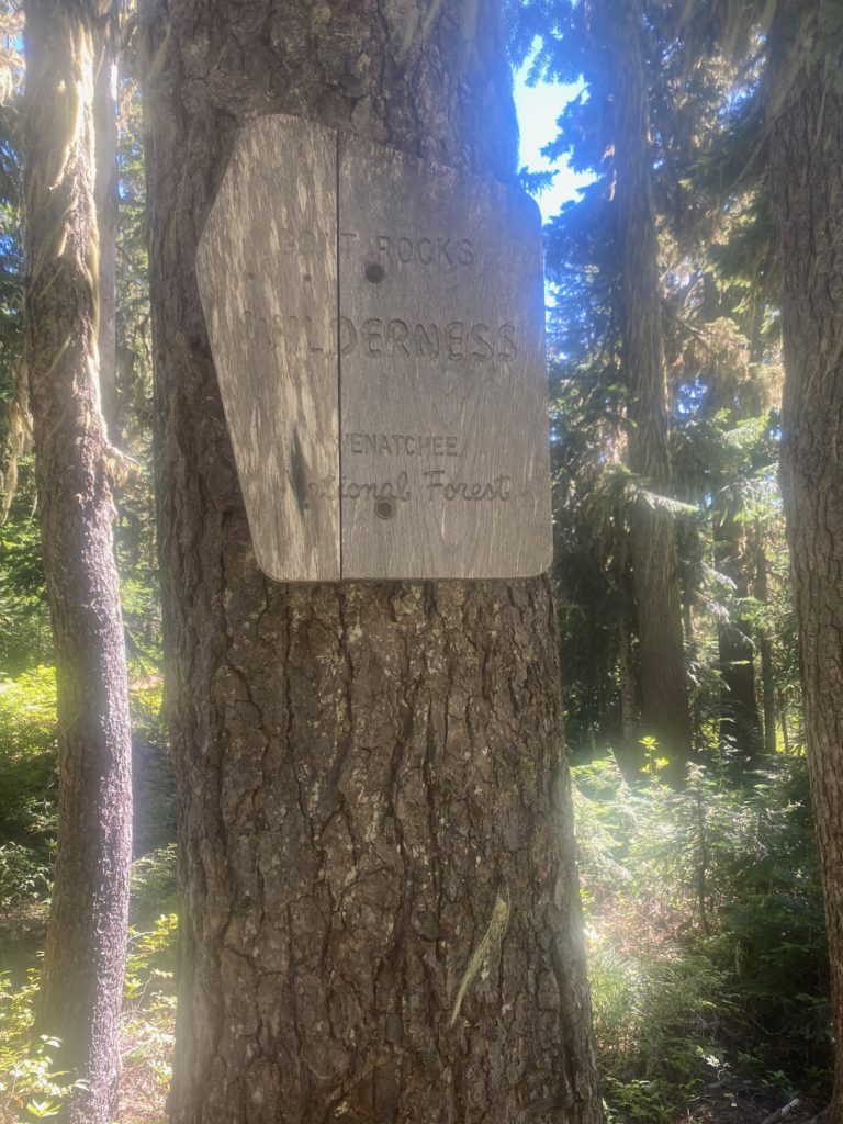
Almost immediately I get to a sign indicating that I am entering the Goat Rocks Wilderness. I am a little shocked because I figured that was a day ahead of me. Turns out I enter, exit, and will enter again. The PCT has about 31 miles of trail within the wilderness. Goat Rocks Wilderness is 108,024 acres in the Okanogan-Wenatchee National Forest.

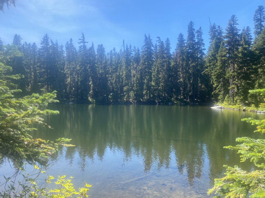
About this time I get to Ginnette Lake and decide to get some extra water. I saved 2 miles of carrying water by waiting till this point and the next water is in 8 miles, which is further that I am going today. White Pass is at 4400 feet and you climb your way out of White Pass to a flat area near the top of Hogback Mountain with a camping site at about 6300 feet.

I am seeing a number of day hikers coming back from somewhere. I expect to see a lot of them when I get to Ginnette Lake but when I get there I meet a single hiker that said he was doing the PCT and I asked him about the area ahead and about the Knifes Edge. He said it was very difficult and told me that if I could do the next 20 miles, I could do any section of the PCT. He said it was the hardest part of the PCT he had seen. I asked him how much he had done and he indicated he had only done this section and one other in Washington. Not a very big sample size.

PCT 2295 to 2290. Goat Rocks Wilderness
PCT 2295 to 2290. Ginnette Lake

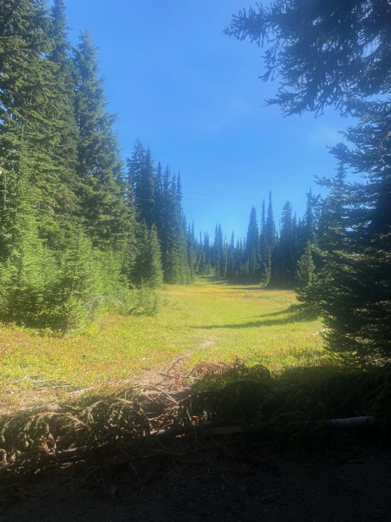
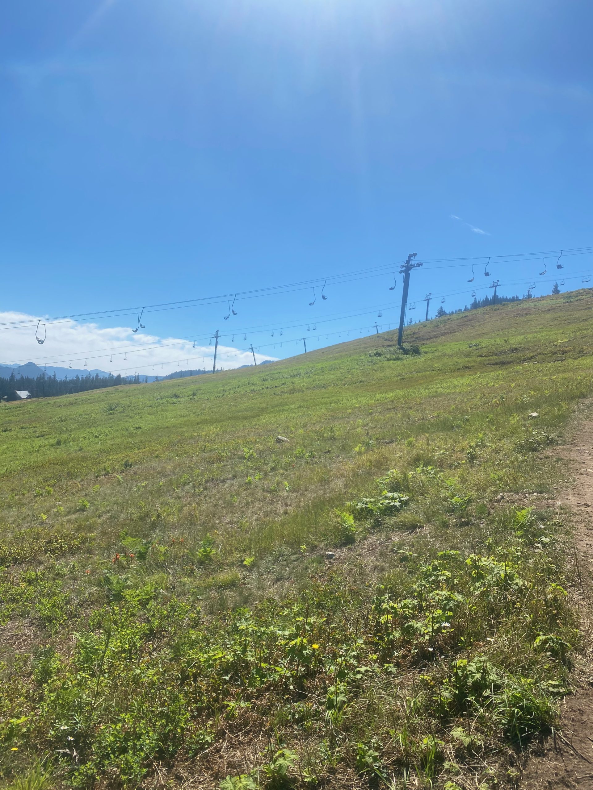
Continuing to drudge up the slope I pass by a nice looking meadow and then some ski lifts. Perhaps the meadow looking area is part of a ski slop.

PCT 2295 to 2290. Nice Meadow

Just before I work myself up to the top of Hogback Mountain two hikers pass me that are in a pretty big hurry to get down to White Pass but one of them says: It’s a hard climb but the views are fantastic.

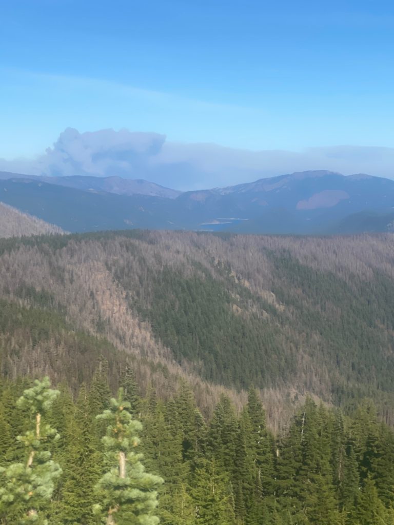
There are good views. I look back towards the north and see the fire that we passed driving on the way to White Pass. Pretty impressive amount of smoke but the fire is moving the other way and is a far piece off. You can also see a glimpse of Clear Lake which is a good size lake we passed on the drive. The dead trees I am sure are part of the fire that was here in 2018 that caused the PCT detour.

PCT 2295 to 2290. Fire burning to the North. We passed on drive down

There is a small campsite and that is where I am staying for the night. I hear two other hikers come in during the night. A guy who is quiet and a gal who is very talkative and chatters to the quiet guy. Turns out I will meet the gal later. On the hiking applications the spot I choose is called “small campsite”. That is how I know the gal I meet later will be the same gal.

  • Miles: 5.7
  • Steps: 14914
  • PCT Mile: 2290
  • Elevation: 6350
  • Location:

Aug 29, 2020 PCT Between 2324 and 2335

So I try and delay getting up for awhile to not disturb my neighbors but by 5 I am starting to pack. I generally have breakfast at the camp site but this time I decided to delay until later so to disturb them as little as possible. As I was putting on my pack and getting ready to leave, one of them said “have a good hike”. I could not tell who said it so I whispered thanks and told him to do the same. Below are some early morning views.

It was a little chilly in the morning and so I left on my layer of sleeping clothes and put hiking clothes over them. After about 3 hours of hiking, the sun was up and it was warmer. So I stopped to have breakfast and remove the extra layers. The 2 carnation instant breakfasts were yummy and just what I needed. I had done a little climbing and I could tell I did not have the same energy I would have had if I had had breakfast in camp.

I start hiking again and within 10 minutes a storm blew in from over the peaks and the temperature dropped by about 20 degrees. It was really pretty amazing that conditions could change that fast. My thoughts moved to the missing hiker who perhaps was caught totally off guard as well. I was told he was caught in a snow storm. I really did not believe I was in any danger of that. Thought it might rain but that did not happen either. I got a little wet from being in the clouds but the only thing that happened was I hiked faster to stay warm. Below are some videos of the clouds. Me in them, then me above them.

There is a pretty big wind and eventually the clouds are all blown over to other mountains and the sun is shining again. I meet two young men that are obviously hunting. For what, I ask. Black Bear, they respond. I tell them they should come to Georgia, sit on my front porch, and kill the black bear that is getting in my garbage. They told me to send the black bear to Washington. I don’t think either option is going to work out.

Chinook Pass is my destination and I’m getting close. Martha, Matt, and Lenora are going to pick me up there. I will go back to Oroville for a couple days and then return to the trail to connect the dots from White Pass to Trout Creek. Some scenery on the way to Chinook Pass. I look for a skunk on the way down to freshen up the car a bit before I get in but could not find one.

Aug 27, 2020 PCT Between 2347 and 2360

I officially declare that the eating problem has been solved. I am feeling stronger rather than weaker about 3 days. I get a pretty early start in the day. The mornings and the sunrise are so pretty, I don’t see why more people don’t hike early. On the other hand, I never see a sunset as I am generally asleep and I’m sure they are pretty as well. Maybe I will set an alarm for sunset and get up just to check it out one of these days.

PCT 2347 to 2360. Morning view
PCT 2347 to 2360. Looks like I’ll be in sun soon
PCT 2347 to 2360. Still on course

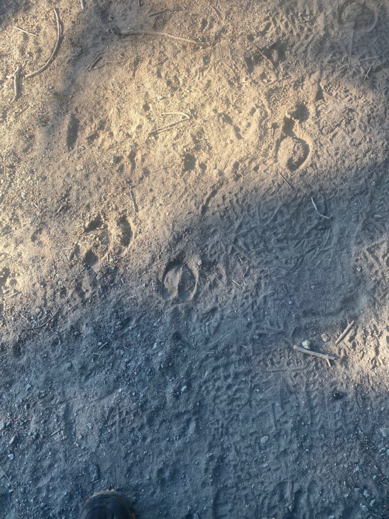
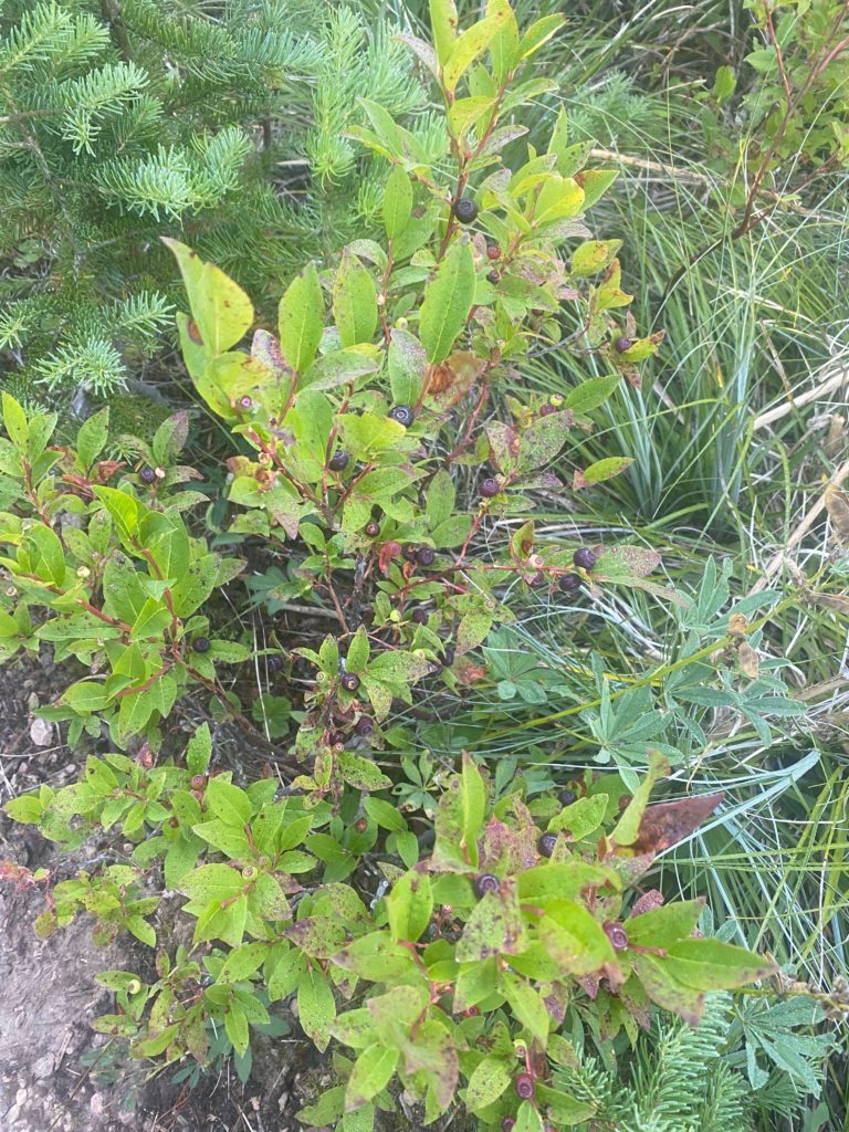
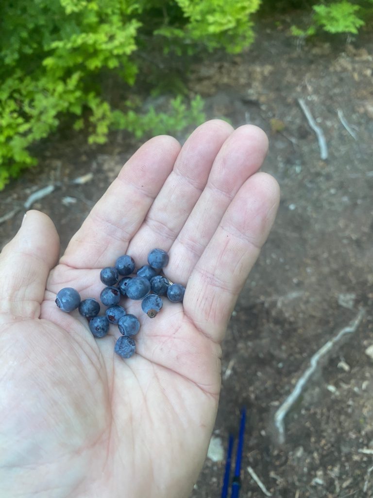
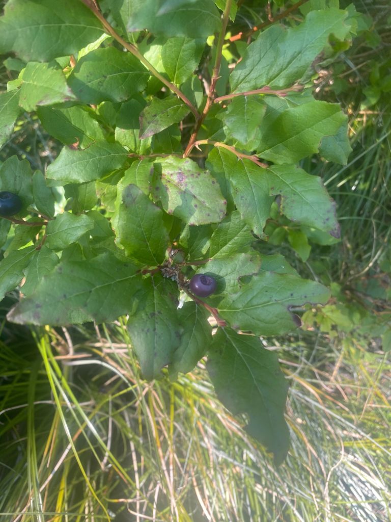
There are a lot of animals about based on the number of tracks on the trail but I have yet to see any large animal. And there are huckleberry plants everywhere. I am continually pausing to get a hand full of huckleberries. They have a very unique flavor. One hiker said they taste like grapes. One hiker said they taste like apples. I don’t think so. I think they taste like huckleberries.

PCT 2347 to 2360. Still gorging on huckleberries

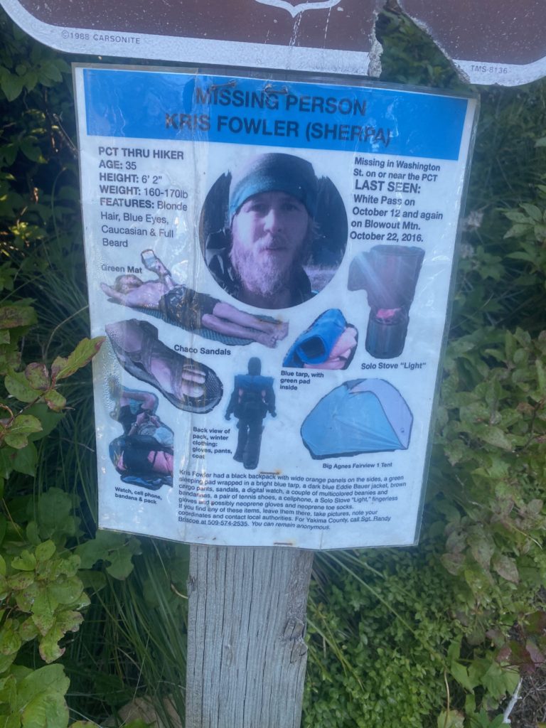
Hiking the PCT is not a zero loss activity. People die on the PCT, people get lost on the PCT. Below is a picture of a poster of a missing PCT hiker. This hiker went missing in 2016. I heard about him when we were here in 2017 and staying at Packwood Washington. A guy who worked the lodge said he knew the guy and told him to delay going back on the trail because a big storm was moving in. He did not listen and went missing. In 2017 they were searching all the caves in the area hoping to find some evidence of him. This guy looks like a mountain man. He has a name of Sherpa!! He had hiked 2300 miles of the PCT. He just went missing.

PCT 2347 to 2360. Missing hiker. They are still hoping to find him

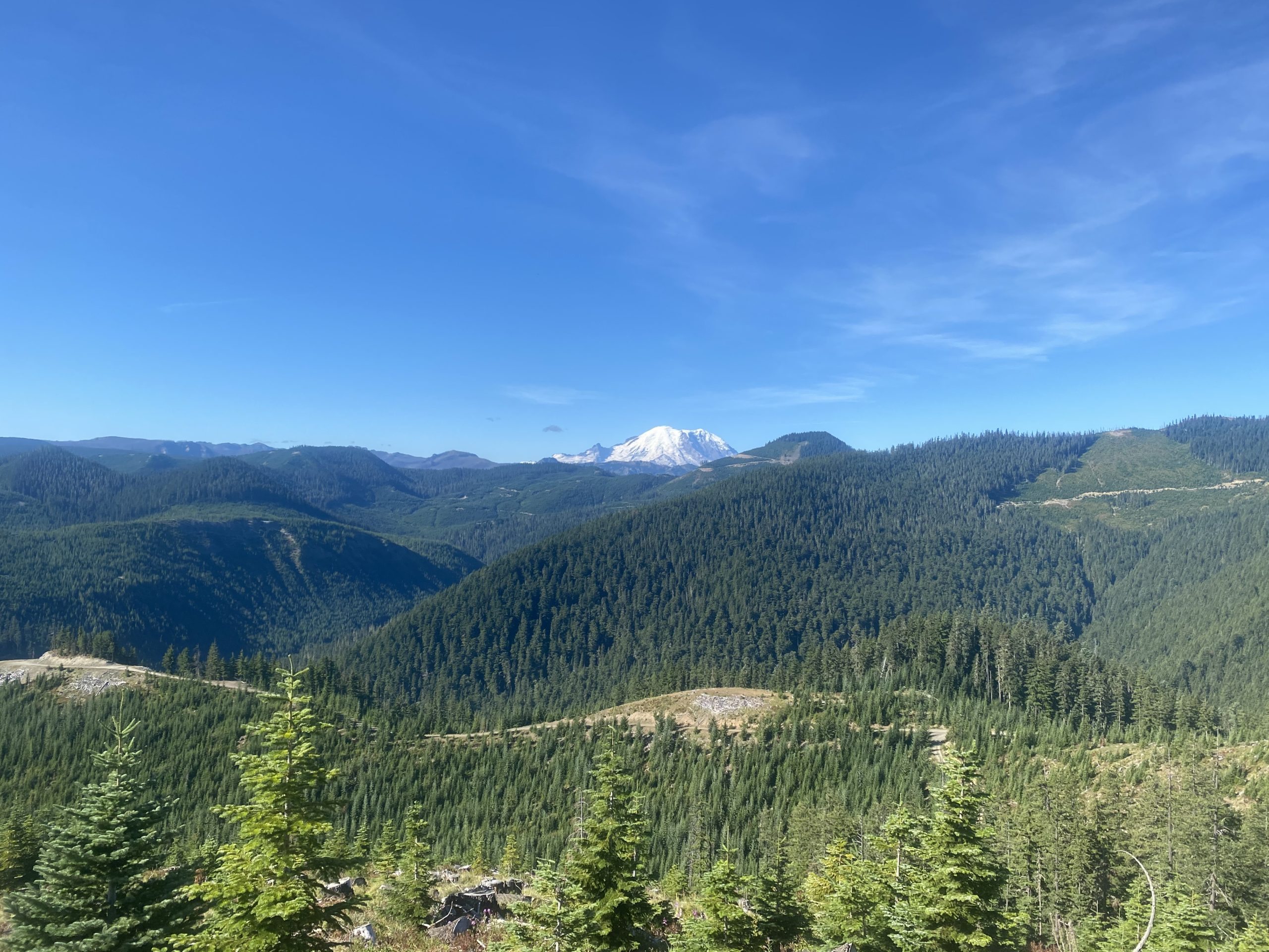
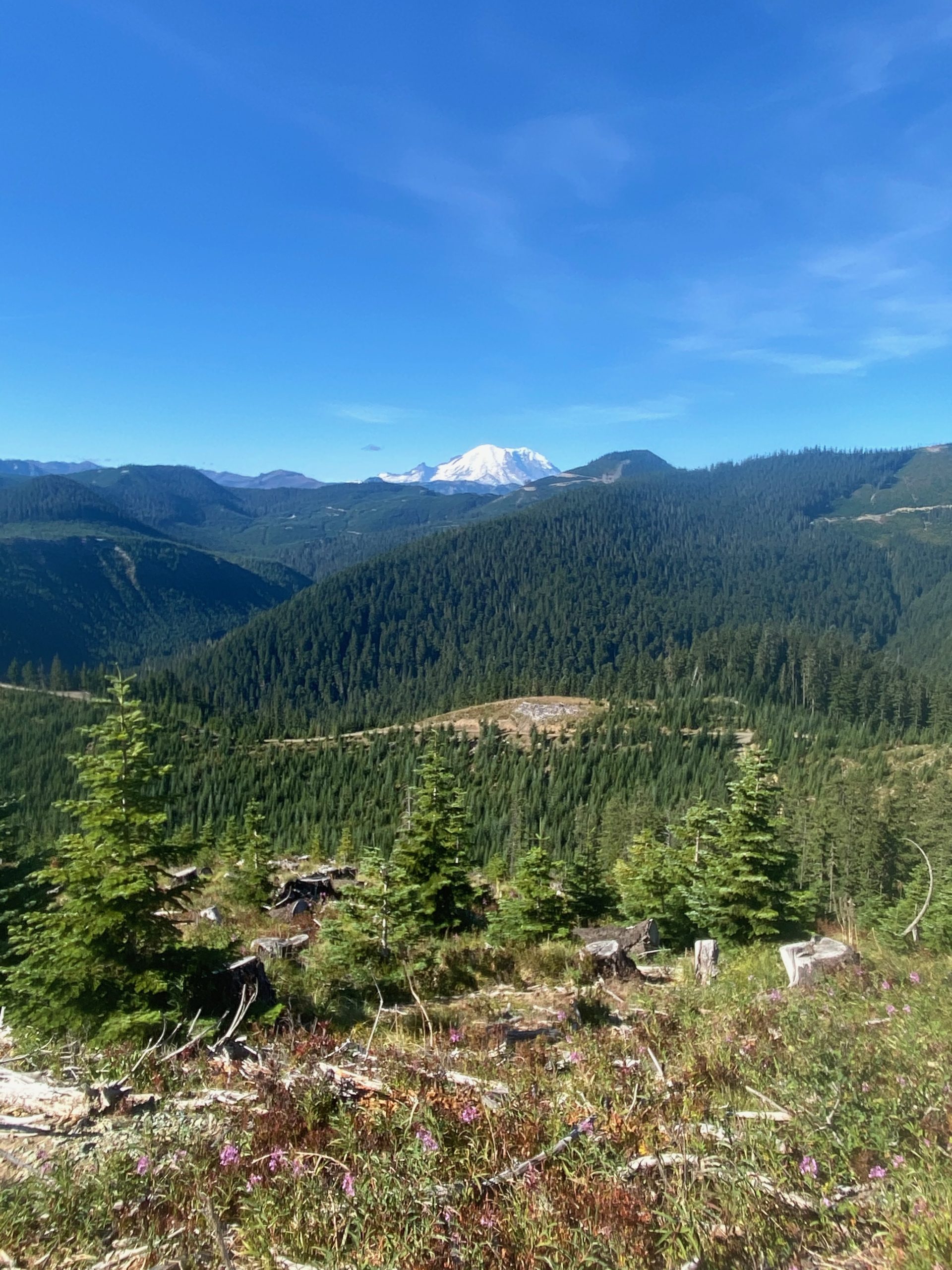
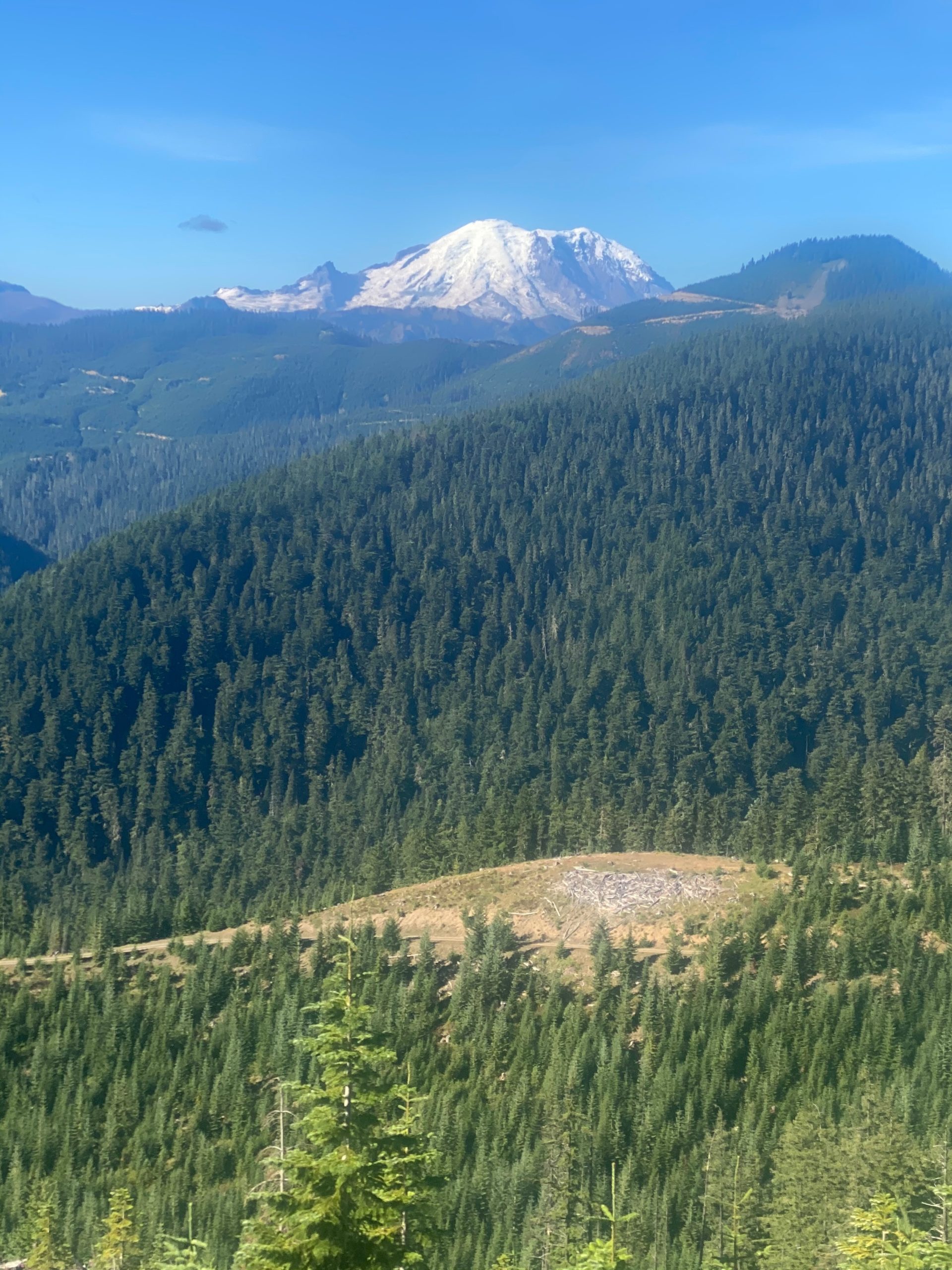
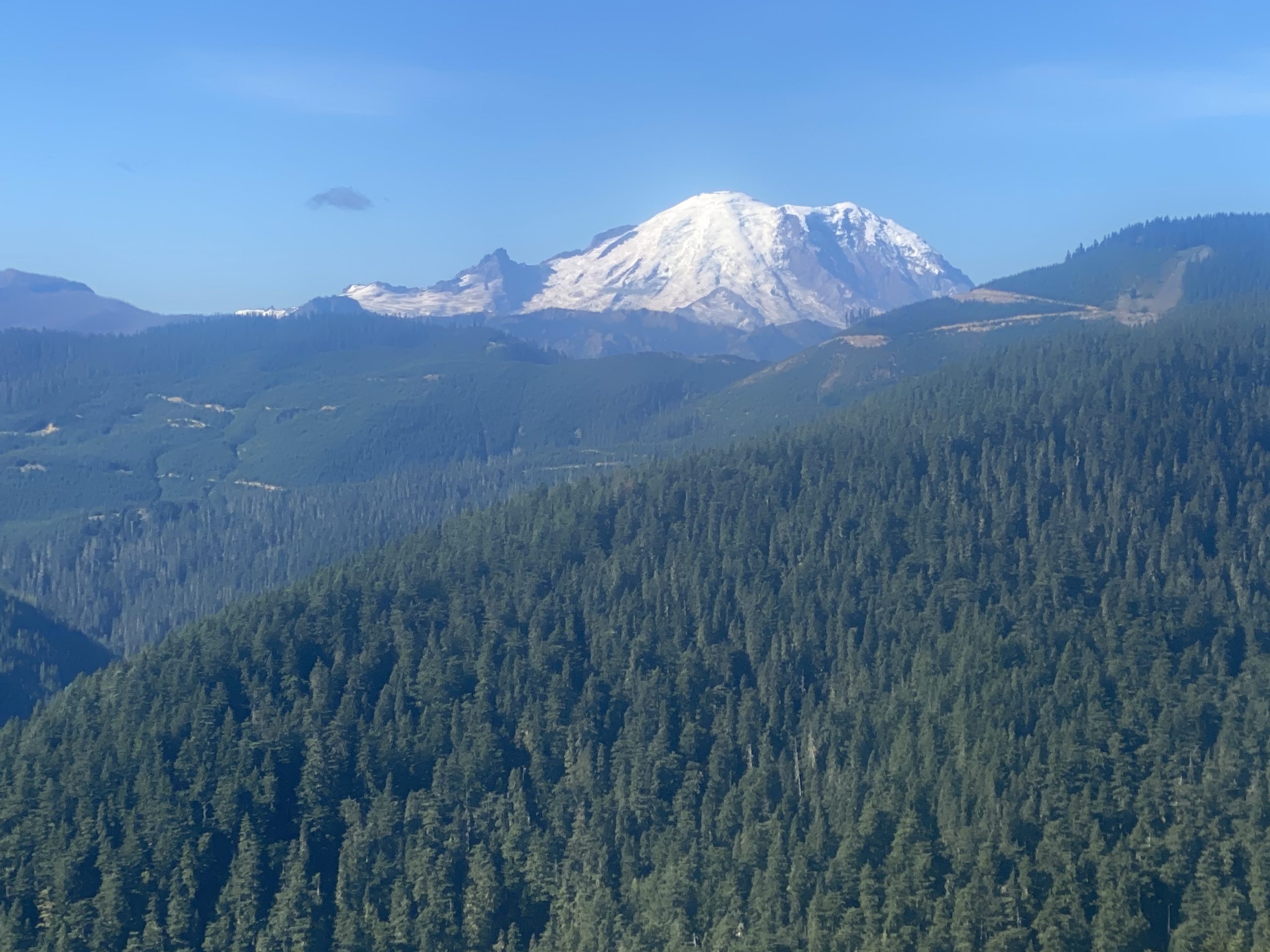
So……I’m minding my own business just hiking, I come around a corner and BOOM, there is Mount Rainier. I take a few pictures (4 actually).

I get to some water after 11.5 miles (that wasn’t so bad) and decide to have a snack and a little to eat.

As I continue walking I get to a burn zone and there is a eagle boy scout information sign there that indicates the fire was started by a logger back in 1988! It is just now starting to show signs of recovery in that pines are starting to grow. Huckleberry bushes are everywhere and of course wild flowers. They is a family group on the mountain and they are picking huckleberries. The second time I have noticed a family group out picking from the side of the mountains. I am sure they sell them to the local fruit stands. Given that they only seem to grow at these high elevations, away from civilization, they are very expensive and I’m sure this family will make a few bucks on all they are picking. I have a video of the burn zone.

Getting closer to Mount Rainier

PCT 2347 to 2360. Mount Rainier

So I stop for the day pretty early at Mike Urich cabin just because it is so pretty and a little bit of a famous spot on the PCT. There are already 2 people stopped here as well and within a couple hours there are at least a dozen people. It is just one of those places that you have to stop at and write about how you stopped at it. One of the guys already there is a PCT thru hiker named Huckleberry (not sure why) and he has stopped so early because he is hurting. The tendon that runs from the outer hip to the outer part of the knee is inflamed and he says at times he can’t even bend his knee and has to walk stiff legged. And I thought I had problems. Anyway he is guessing he will have to go off the trail when he can get to Snoqualmie. He indicated he skipped the High Sierra’s because none of the towns in the area wanted PCT’ers because of COVID. A little while later in another group a PCT hiker named Turtle comes in and has severe pains in her left calf and also thinks she will have to go off trail for awhile. Whoever named her Turtle is like the Russian skating judge who gives the first skater all 10’s. There is no wiggle room. If they named her Turtle then what are they going to name me? I guess they could call be Sloth but that would just be rude. I mention them both only to indicate what an achievement it is for those who can start and finish the trail in 1 year. There are so many things that can go wrong and some of them you can’t just suck up and work through. They are within 250 miles or so of reaching that goal and both may have to stop. I tell both of them….OH Yeah…… well….. my back itches.

The cabin was built to commemorate the life of Mike Urich, a forester who died in 1957. There is a plaque which reads,

     The mountain Gods from seat on high,
     Rejoiced to see Mike Ulrich die.
     And at his death gave this decree:
     “to all who pass here, know that we entrust to big Mike Ulrich’s hands these camps, these trails,
     these forest lands: to rule, protect, to love and scan as he did while mortal man;
     And deal out sentence stern and just on those who violate his trust.”
     Stranger, beware, leave not a fire
     Foul not Mike’s camp,
     Rouse not his ire!”

Taken from: https://bobofwashington.blogspot.com/2014/10/ulrich-cabin-to-snoqualmie-pass-on.html

Aug 26, 2020 PCT Between 2360 and 2371

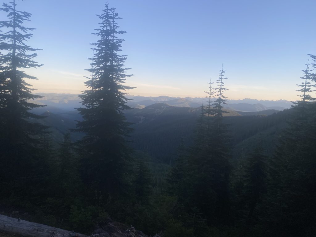
Had a good nights sleep and it is another beautiful morning. Here here is a morning view.

PCT 2360 to 2371. Morning view

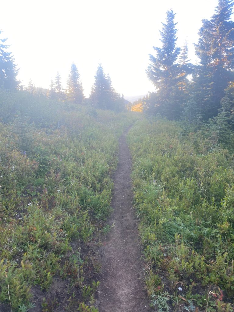
Nice trail through here and it looks like there has been some maintenance done to keep down the bushes by the side of the trail. I did not think any maintenance was being done this year at all.

PCT 2360 to 2371. Trail Maintenance

Stopping yesterday often to dry my back and shirt has helped the situation with the rash but it is still there. Here is a view I had while waiting for my shirt to dry.

PCT 2360 to 2371. View while waiting for shirt to dry

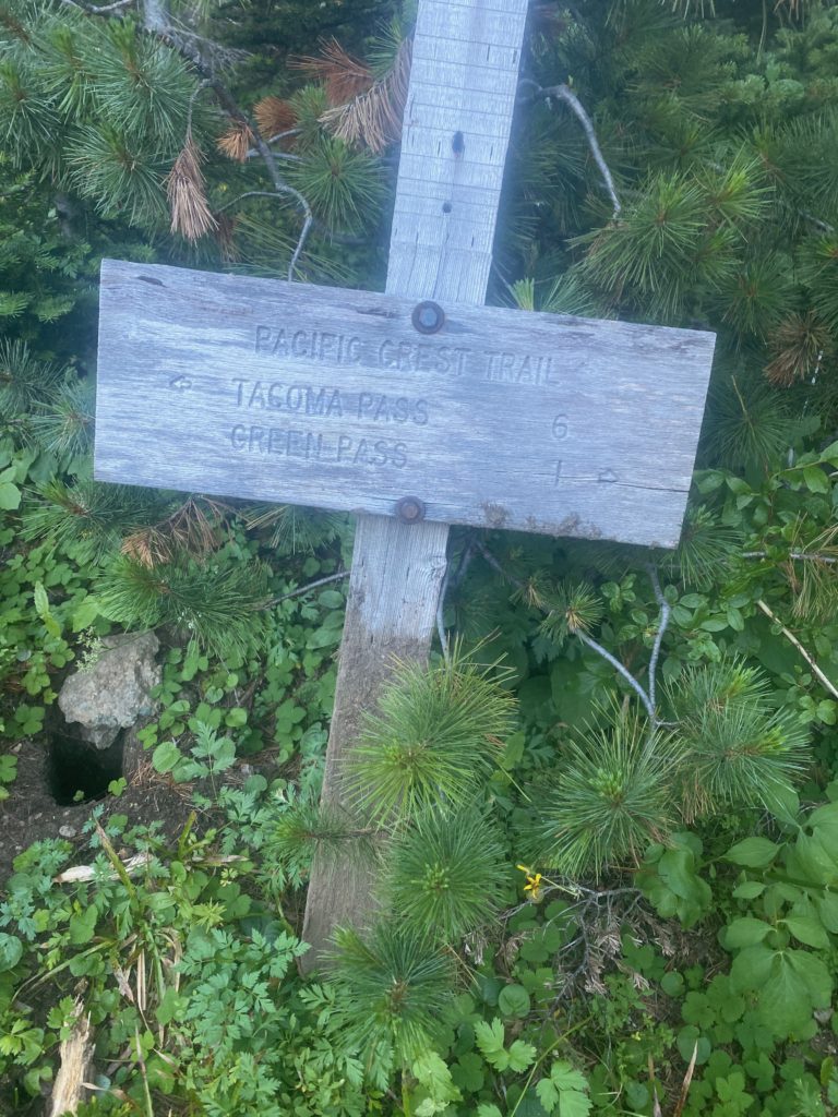
One of the rare signs I have seen telling me about the national forests and wilderness areas I am in. Here I am leaving the Mt. Baker-Snoqualmie National Forest. The Mount Baker national forest was established in 1907 an the Snoqualmie National Forest in 1908, under President Theodore Roosevelt. They were combined in 1974.

I get to the Tacoma Pass road which is a beautiful gravel road and need to dry my shirt again. While I am waiting a car drives up, goes by, and then backs up and parks. I guy gets out and tells me he dropped his wife off at Stampede Pass and she is hiking towards Tacoma. He is going to hike towards Stampede and when they meet will both return to Tacoma to get the car. He is pretty experienced with the area and tells me that ahead of me there is a spring off the trail and is the last water for 11.5 miles so I should fill up. As we are talking a guff PCT hiker walks by and says he didn’t know it was shirtless weather and just continues on hiking. Pretty funny. So I am told there will probably be a sign on the trail that indicates where the water is. Below is a picture of the sign.

PCT 2360 to 2371. Arrow pointing me to the water that is off trail. Next water in 11.5 miles

Now that is what I call a sign. The spring is about .2 of a mile down a pretty good trail and the water is great there. Easy to gather and very cold. I come back up to the trail and have a snack. Good time to have a snack as I have a bit of a climb ahead of me. Not that much later I am drying my shirt again.

PCT 2360 to 2371. Shirt needs to dry. Good thing I am patient

I meet a gal a little later on and we chat for awhile. She is going North to Stevens Pass and she asks if I had started about the border. I told her about my experience and how I did not feel comfortable about the trail and had to turn around. That I regretted not getting a picture at the northern terminus of the PCT. She smiled and said that is what PhotoShop is for.

Heading for a particular campsite but when I stopped to read the reviews for it I found out that all the sites were pretty badly slanted and I noticed a small single site campsite right by the side of the trail and so I stopped and set up camp. Last night there was a lot of moisture in the air and my tent fly was pretty wet. I had time here to lay out my tent and let everything dry out. As I wait for the tent to dry I have a meal and look up through the trees into the sky and there are 3 vultures flying overhead.

Aug 25, 2020 PCT Between 2371 and 2385

So I showed you the view of the lake I woke to in the last post. Just a wonderful way to start your day. Not much really happens on this day except I do discover in a big way huckleberries. There are huckleberries everywhere I look and most times I stop and grab a handful. Probably ate a hundred or more huckleberries. There are also blueberries and wild strawberries on the trail. Seems like I am pausing often just to get some more berries to eat. I have developed a bit of a rash on my back. Where the backpack straps on along my back it tends to gather and contain the sweat off my back. This happens every year on the PCT but this year it itches like you can’t believe. I have to stop about every hour or so and take off my shirt and let my back and my shirt dry out. Once they are dry there is no itching and all is fine. Dry is good. Wet is bad. Takes a lot of time to keep my back dry. There are no locals on the trail now because it is too far for a day hike but there are a few PCT’ers but they are all in a hurry and I don’t get to talk to any of them except to say hello, have a good hike. I don’t see Tom Hanks from yesterday at all and wonder what happened to him. I really wanted to get some information from him especially since Lenora’s maiden name is Banks. But it was not meant to be. I also thought he may have seen my day bag and picked it up.

It also occurs to me that every year on the trail I run across folks that are my age or even older doing the PCT. That has not happened this year. No seasoned PCT’ers, only young folks. Wonder if it has something to do with COVID.

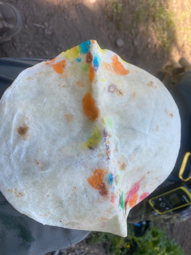
It was a productive day even with stopping often to dry back and shirt. Almost a 14 mile day which this year is a very good day. I am eating well and find out that a tortilla, fixed with Lemon Pepper Tuna with extra virgin olive oil, with relish and mayonnaise and dipped in ranch dressing is a magnificent meal. The new meal plan is definitely working and I actually look forward to each meal. I start the day with two Carnation Instant Breakfasts which hydrates me to get started. Then twice during the day some Tuna in a tortilla with various condiments. Also some M&M’s and peanuts and peanut butter along the way.

Here are some images from the trail today.

Aug 24, 2020 PCT Between 2385 and 2393

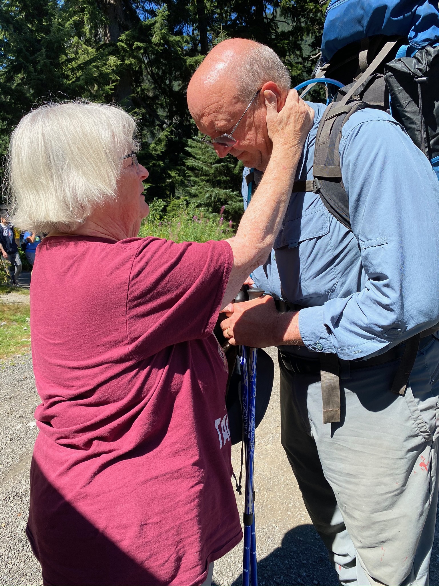
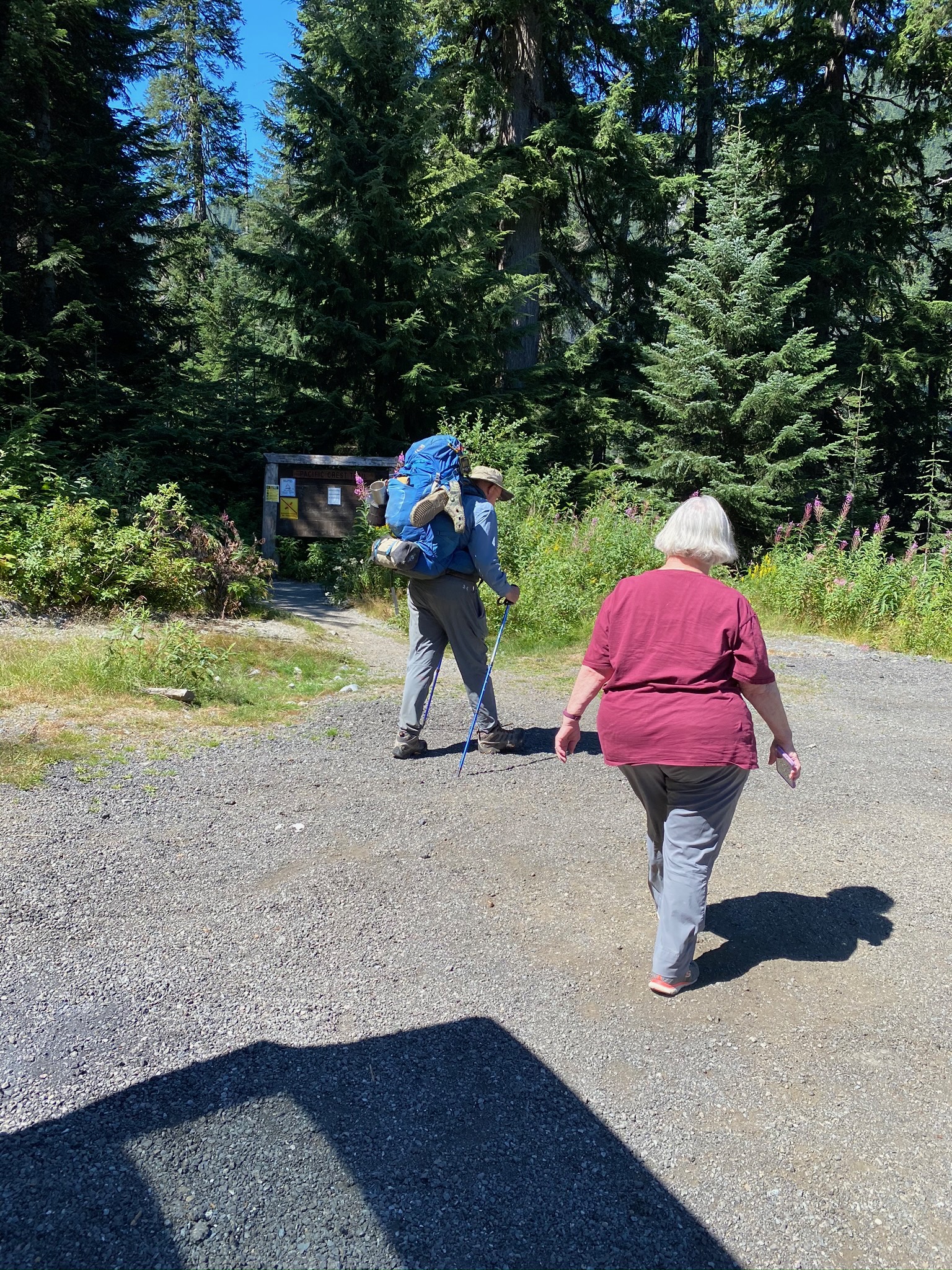
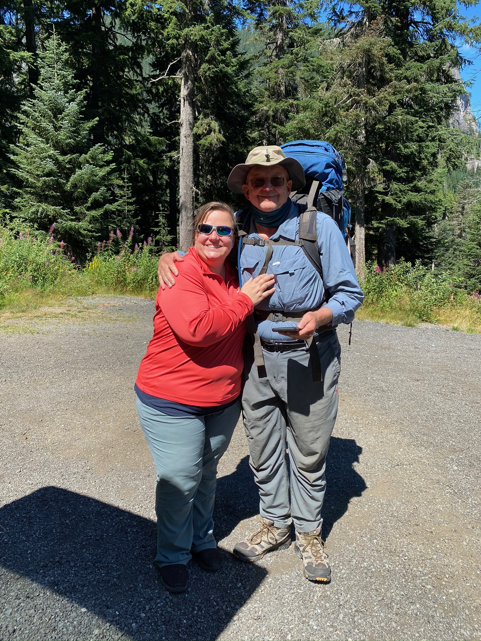
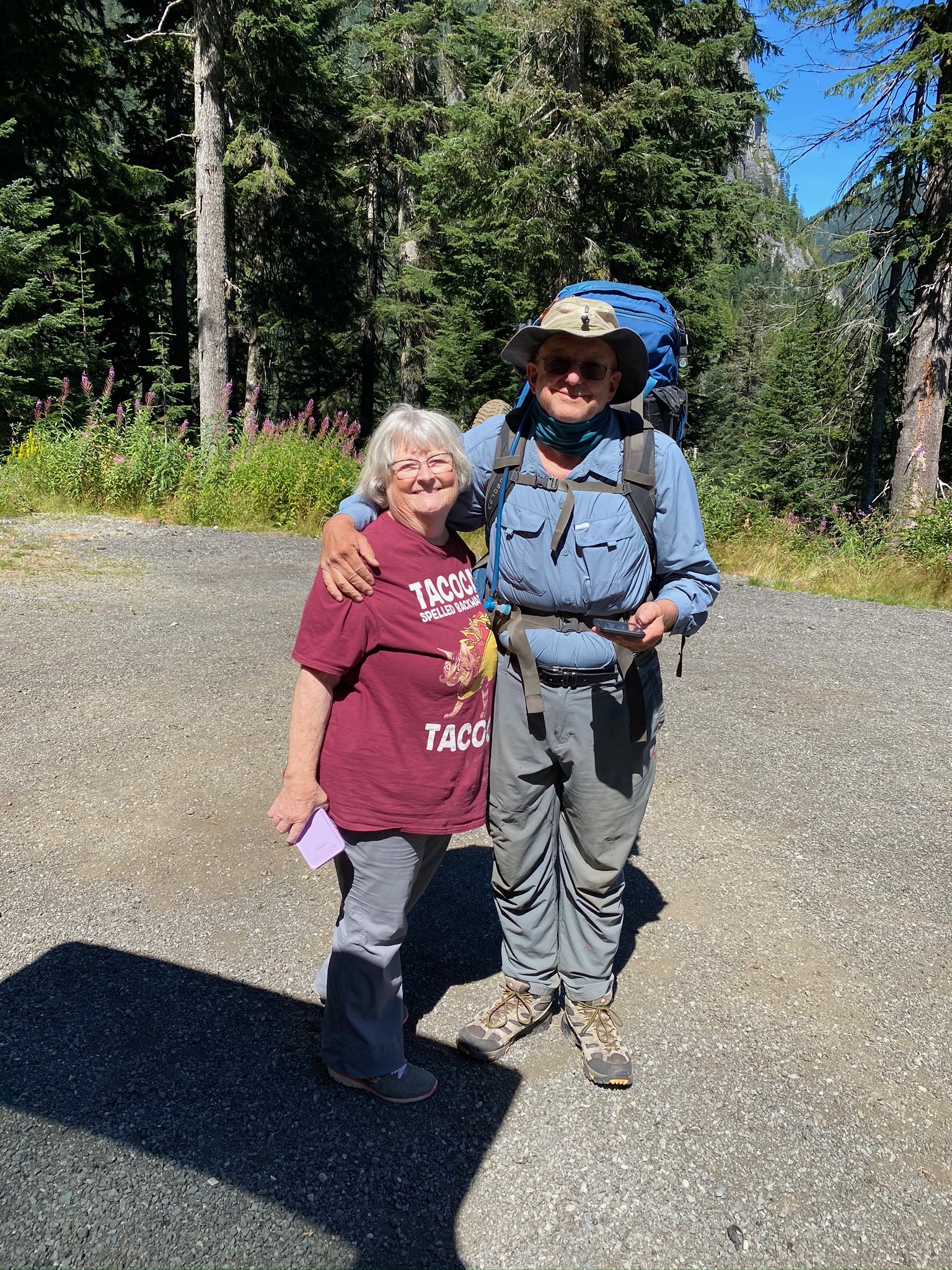
So this is the fourth time the girls are sending me out. This time we are expected it to be as many as 8 days. Here are some sendoff photos

Starting at Snoqualmie and heading south for Chinook Pass. About a 70 mile hike. Chinook Pass is where I stopped in 2018 while hiking north and so I am connecting the dots. It was about a 4.5 hour drive from base camp in Oroville to Snoqualmie. As I was preparing this morning I FINALLY took the cocoon sunglasses off my pack. I indicated I had those glasses on my pack for 5 years and I have never used them and every time I put my pack on the sunglasses whip around and hit me in the head. Generally about 10 times per day! Lenora looks at Martha and said that that seemed like good training for a long and happy marriage :). Add that to the fact that when they last picked me up and we were driving home we went past a skunk smell and both of them said that it was a rather refreshing smell. OK, after being on the trail I realize I don’t smell great but to call a skunk refreshing is a bit of a slap in the face. I get no respect!

We get to Snoqualmie and find the trail head which is sometimes not the easiest thing to do. We do find it and we have the sendoff and then I start to hike. I think I am going one way and then the trail does a 180 and I end up hiking right back above the parallel to the road we came in on. I thought I might see Martha and Lenora drive away but I did not. So I am walking in an open are where the ski lifts are and here are some images of that area.

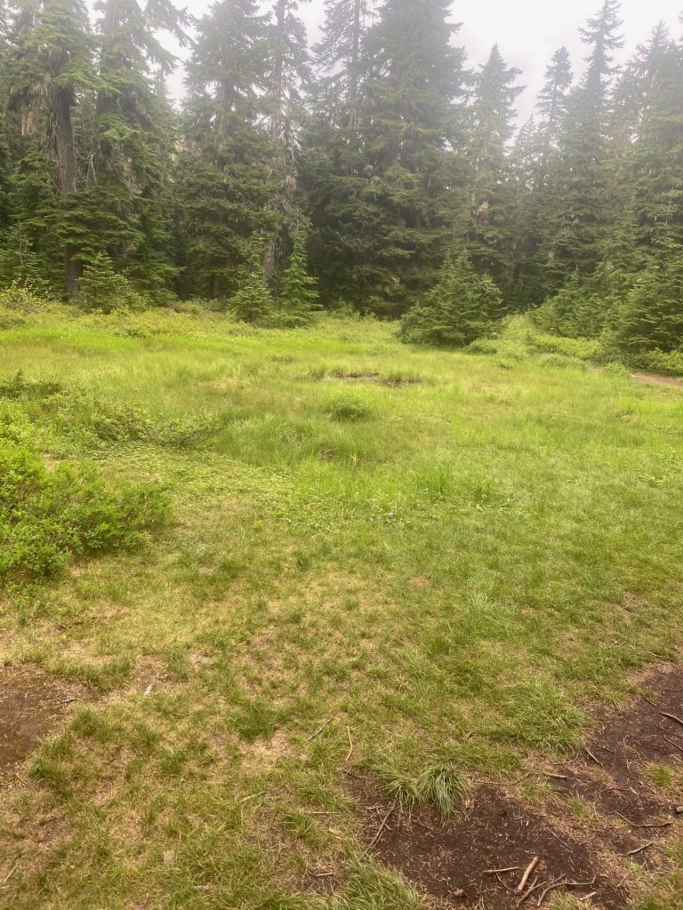
It is a pretty easy trail with nice scenery along the way. I pass a lot of locals who are usually heading towards Mirror Lake and back for a day hike. That is where I am heading for a campsite.

PCT 2385 to 2393. Small pond on trail
PCT 2385 to 2393. Ollalie Meadow
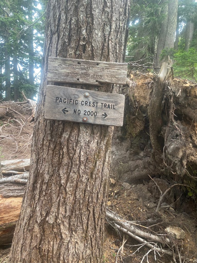
PCT 2385 to 2393. Always nice to know

The sign above is one of the better signs I have seen in Washington. They are not much on maintaining their signs. I meet a man on the way that is sitting on the trail and I stop there as we are both looking down on Hwy 90. His name is Tom Hanks and he says he is on the trail gathering information to write a couple books. One for children and one for teenagers about hiking and the trail. We talk for awhile and I am interested in his books and he indicates we can exchange information later. Figure we will meet up at Mirror Lake. He is slow. I am slow. He stops for awhile to look at his phone and I never see him again. Slower than me…. hard to believe. About half way to Mirror Lake I stop to have a snack. I have a day bag that I keep in the side of my pack to make eating easy for the day. A days worth of food on the outside of the pack, the rest of the food on the inside. I take out the day pack and have a snack and apparently I forget to put the day pack back into the pack. I just lost the first days worth of food. I can’t believe I did it. Turns out not a problem as I have food for 8 days and it only takes me 6.

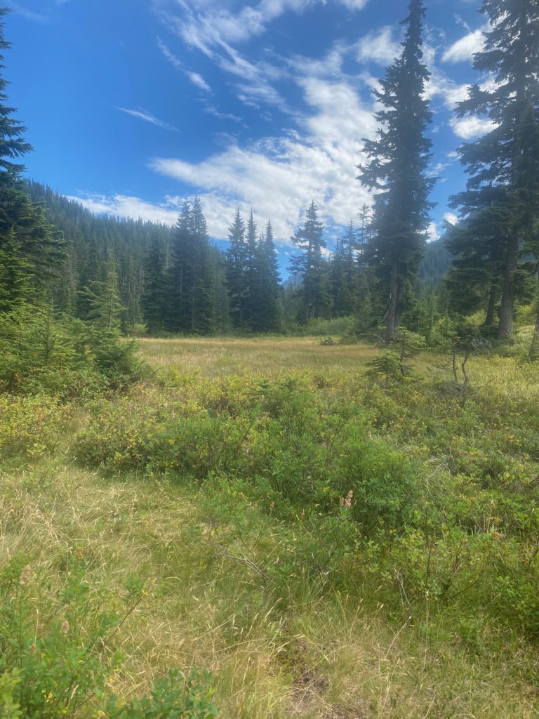
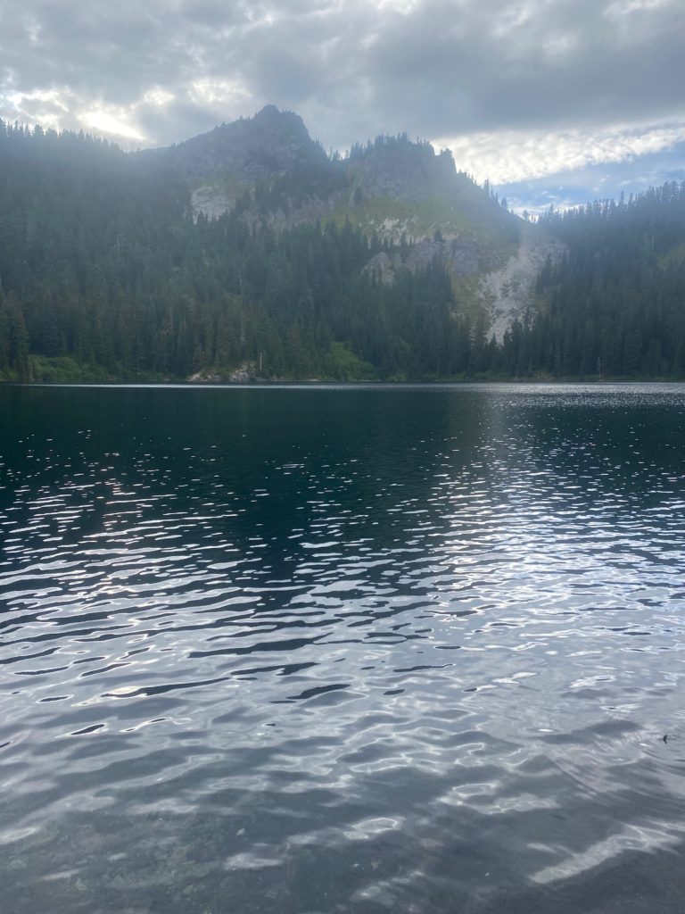
So I get the point where my Guthook application says I am at Mirror Lake. I look around this is what I see. Can you see that small amount of water in the middle of the meadow. You might be able to imagine my thoughts at this point.

PCT 2385 to 2393. I thought this little bunch of water was the much anticipated Mirror Lake

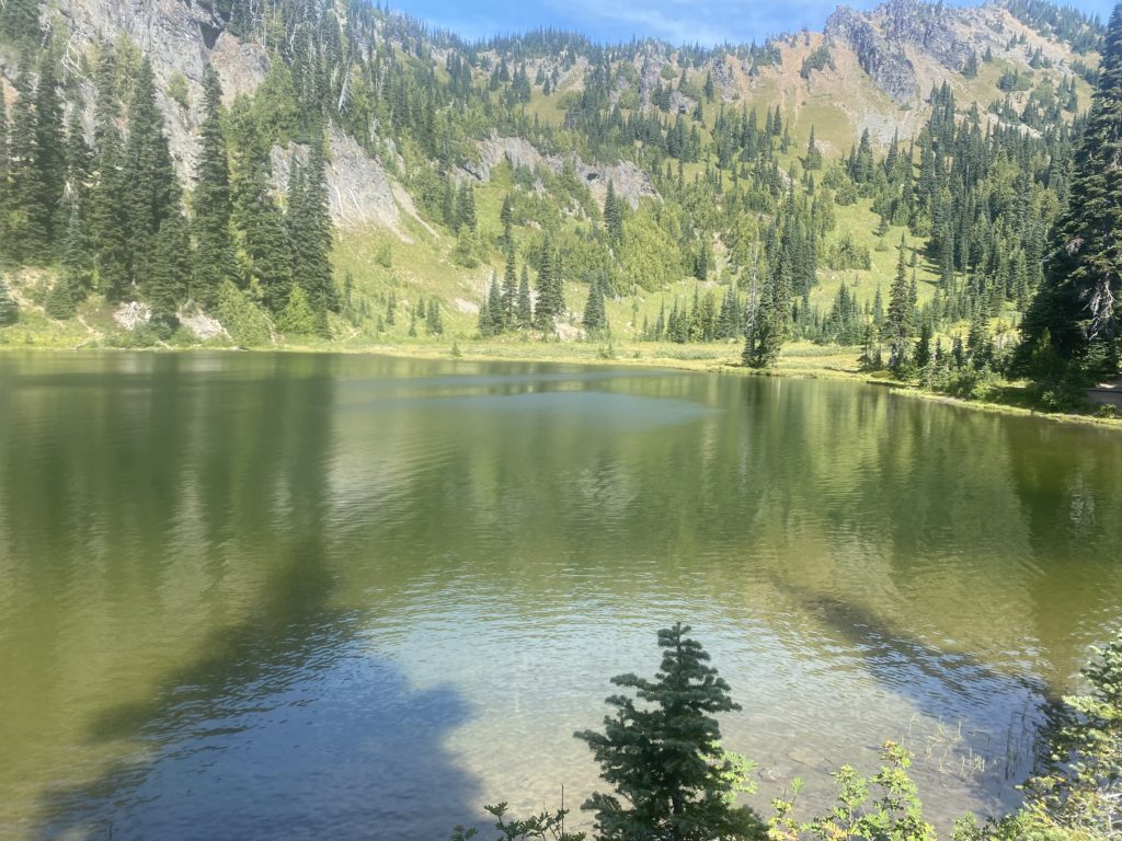
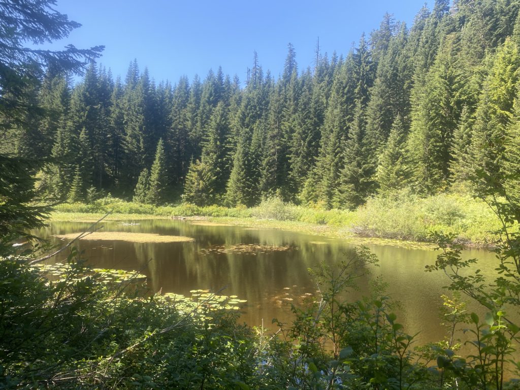
I walk on probably not more than 200 feet and this is what greets me.

PCT 2385 to 2393. The real Mirror Lake

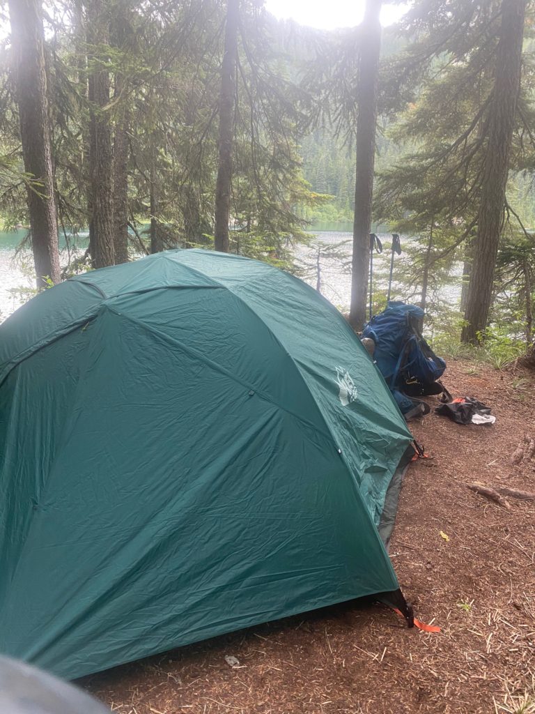
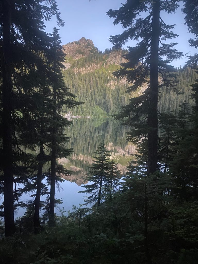
So I set up camp and spend the night here. Beautiful location and good night. Here is my campsite and a picture of the lake in the morning. Nice huh?

PCT 2385 to 2393. Tent site at Mirror Lake
PCT 2385 to 2393. Mirror Lake in the morning. WOW!!