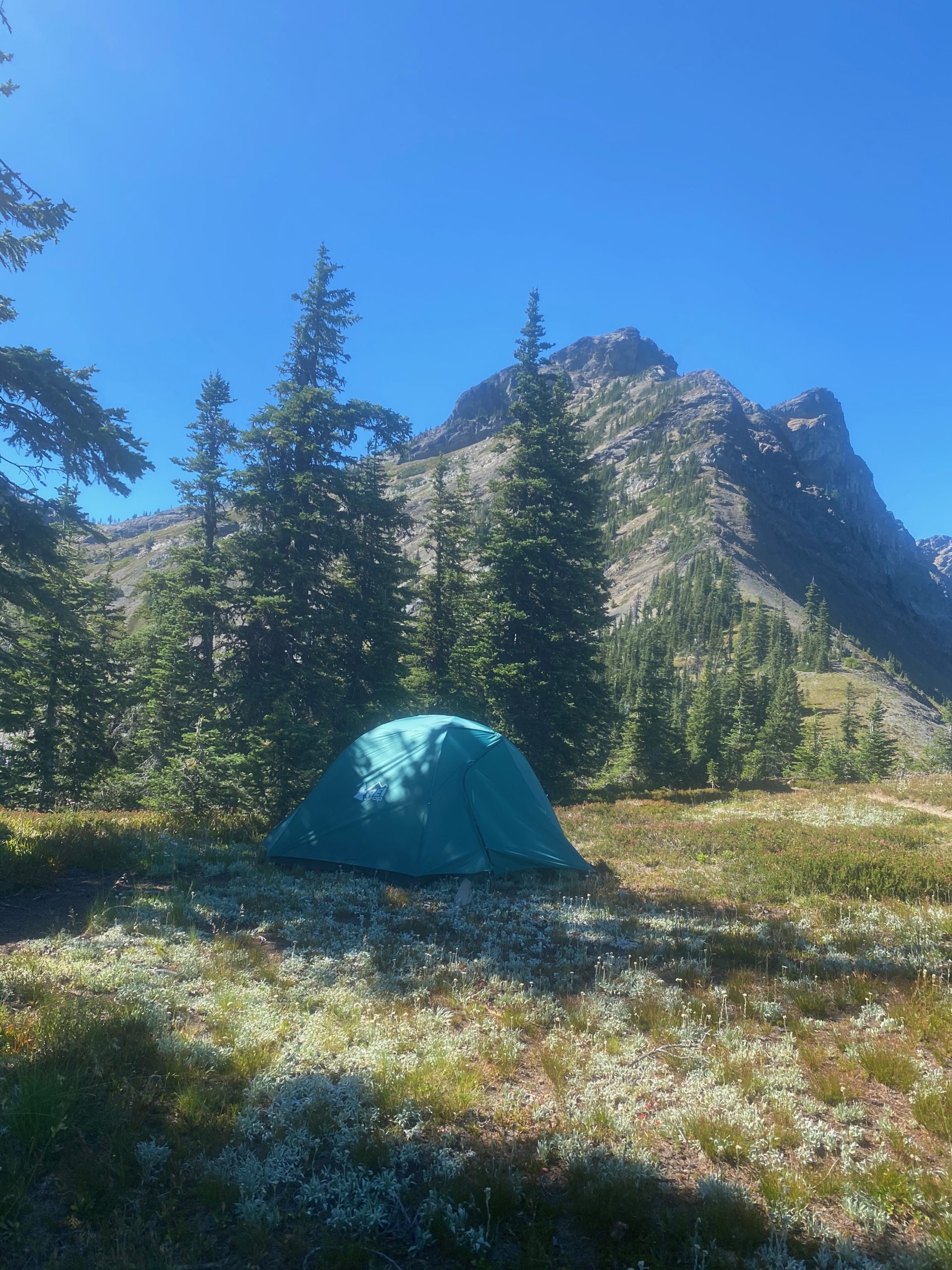
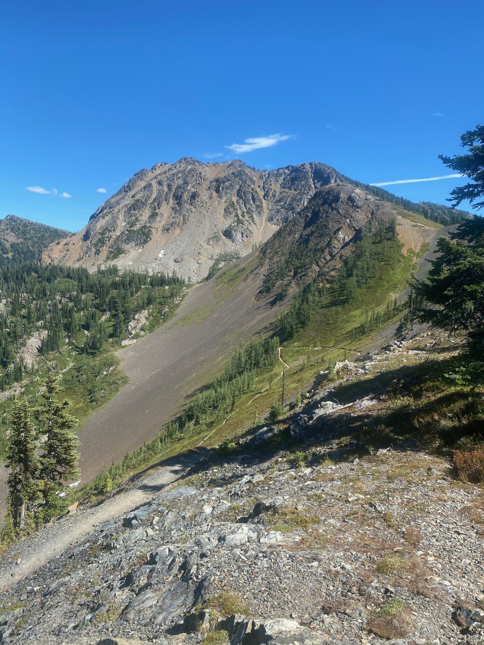
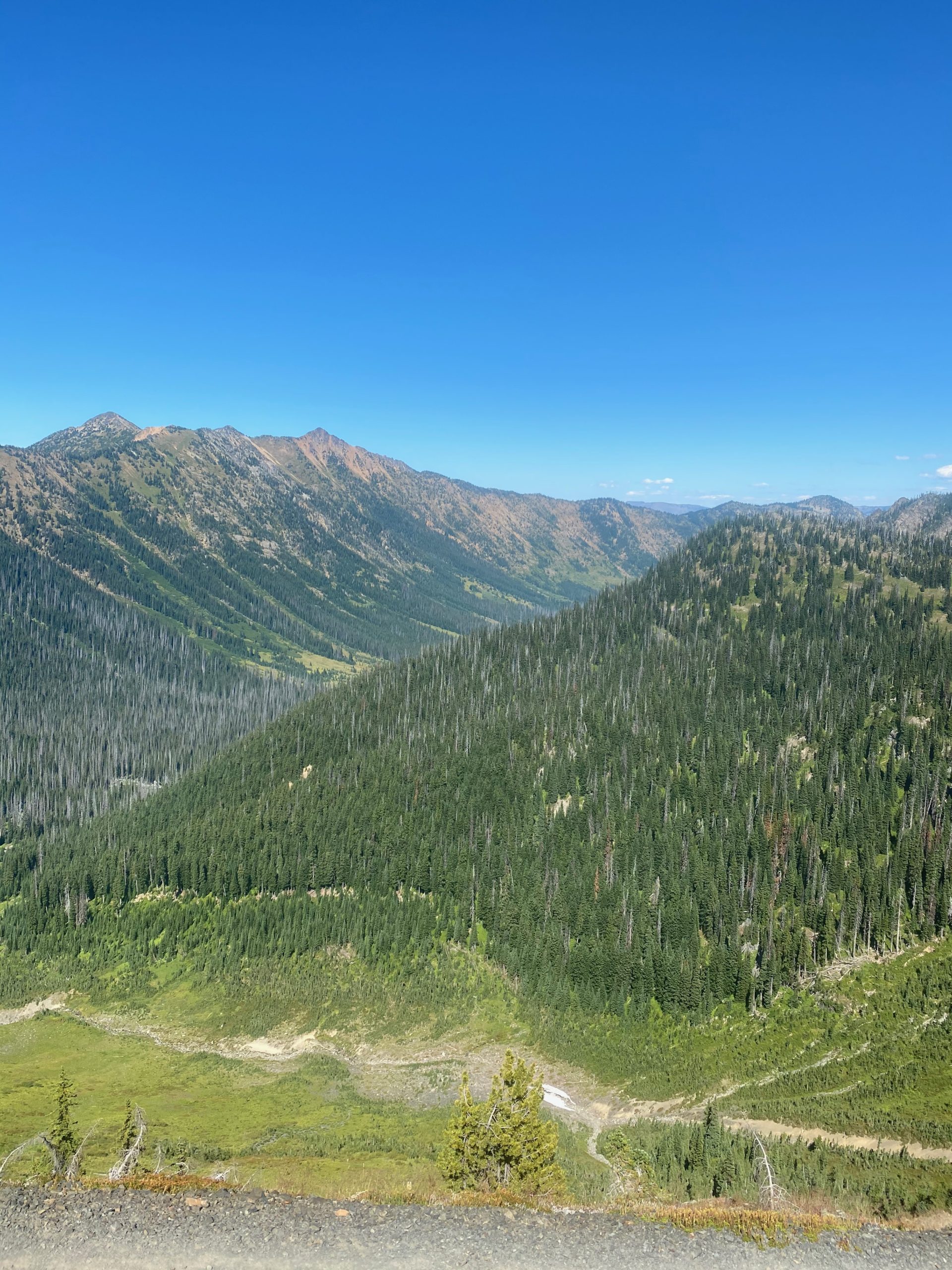
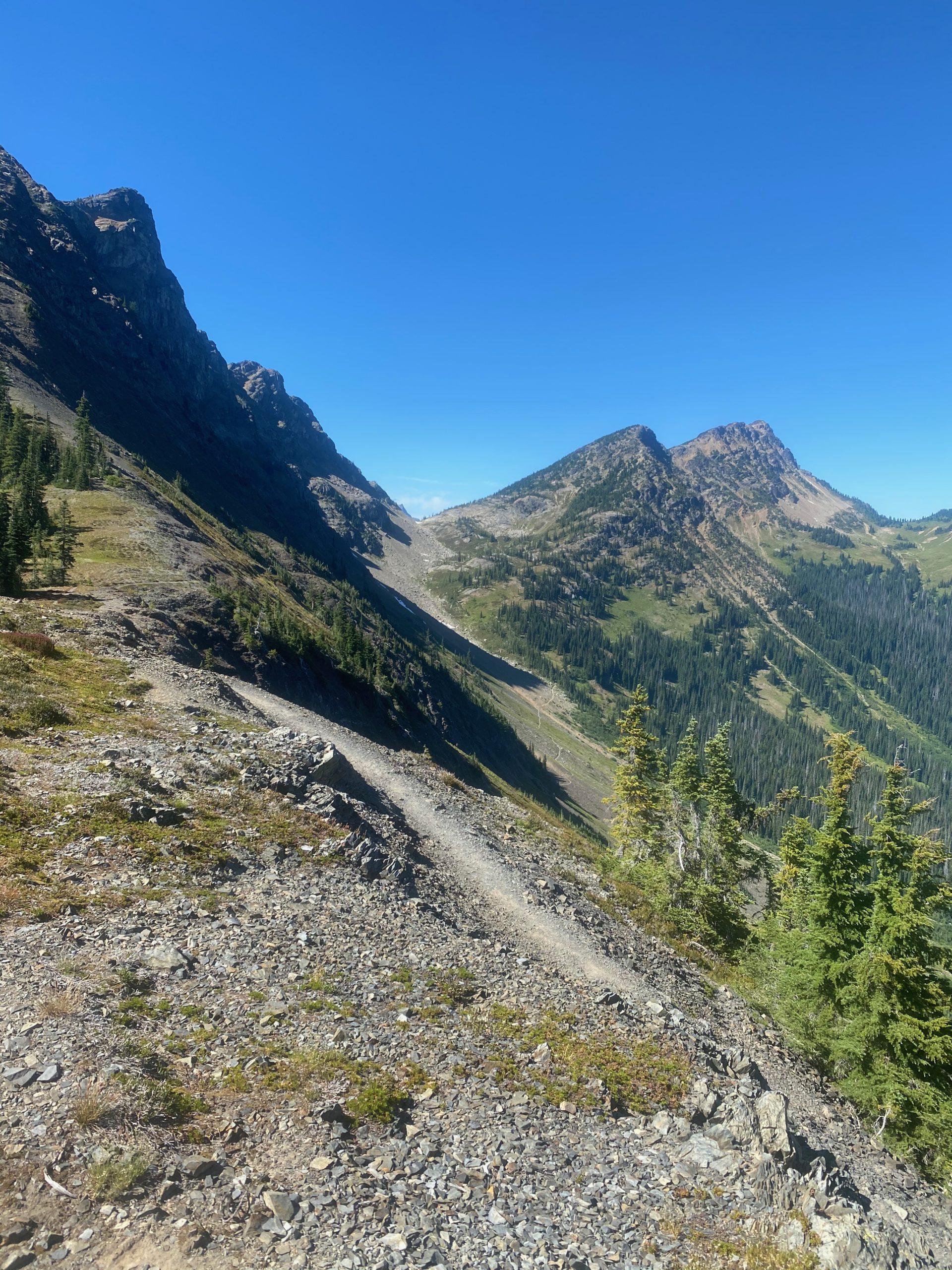
Category Archives: PCT2020

Aug 27, 2020 PCT Between 2347 and 2360

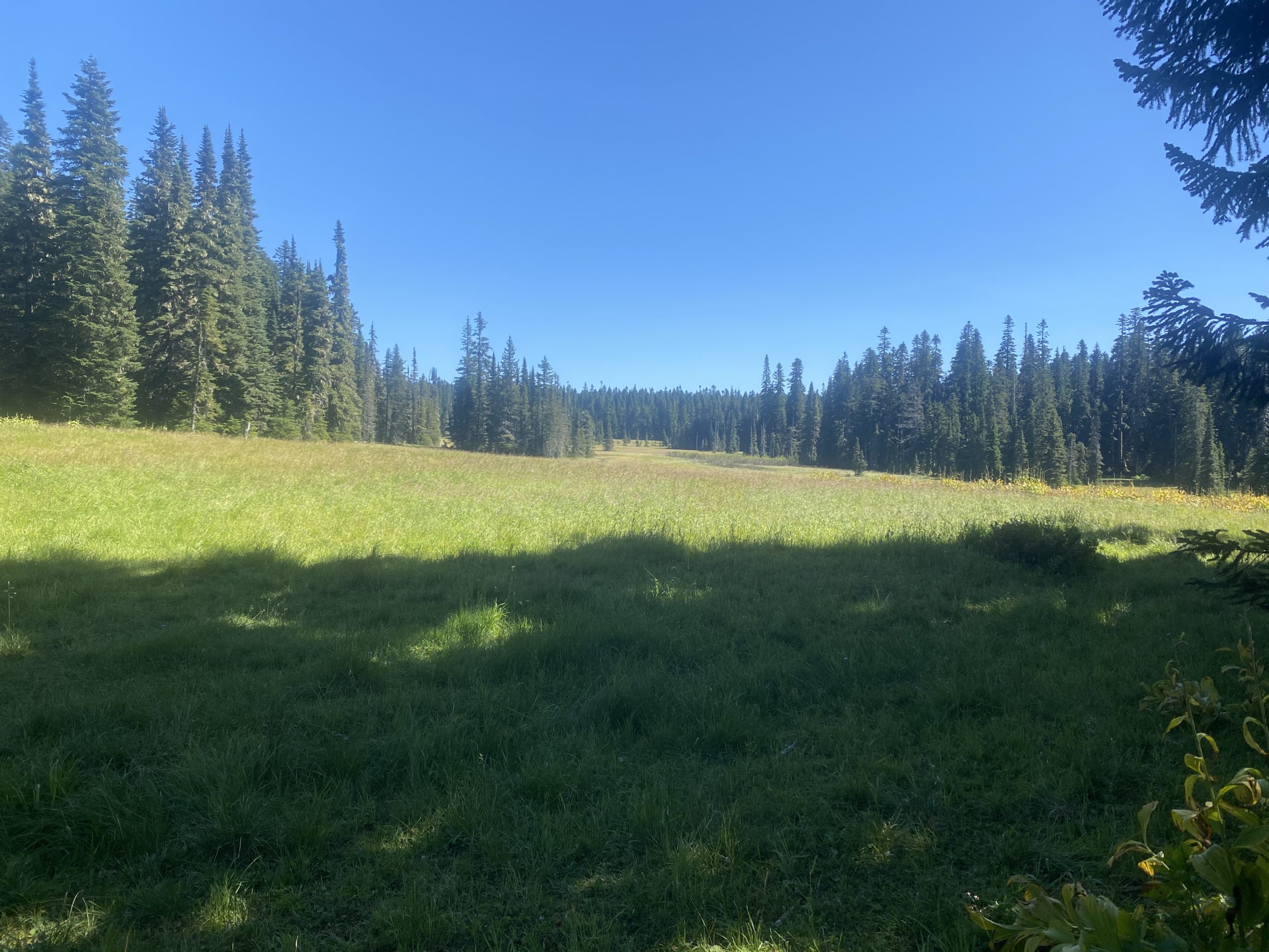
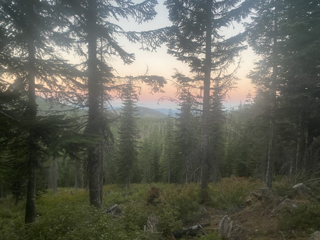
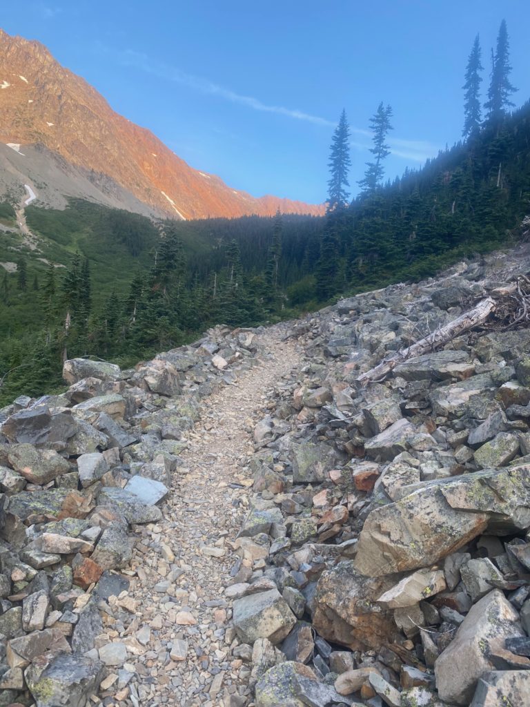
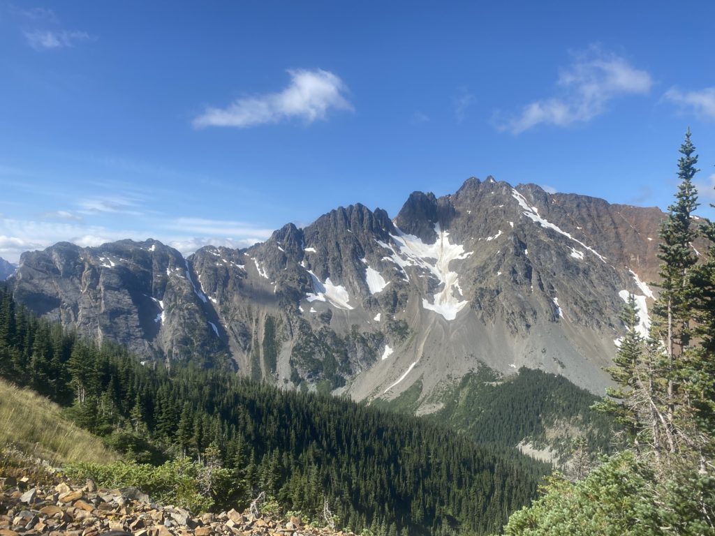
I officially declare that the eating problem has been solved. I am feeling stronger rather than weaker about 3 days. I get a pretty early start in the day. The mornings and the sunrise are so pretty, I don’t see why more people don’t hike early. On the other hand, I never see a sunset as I am generally asleep and I’m sure they are pretty as well. Maybe I will set an alarm for sunset and get up just to check it out one of these days.
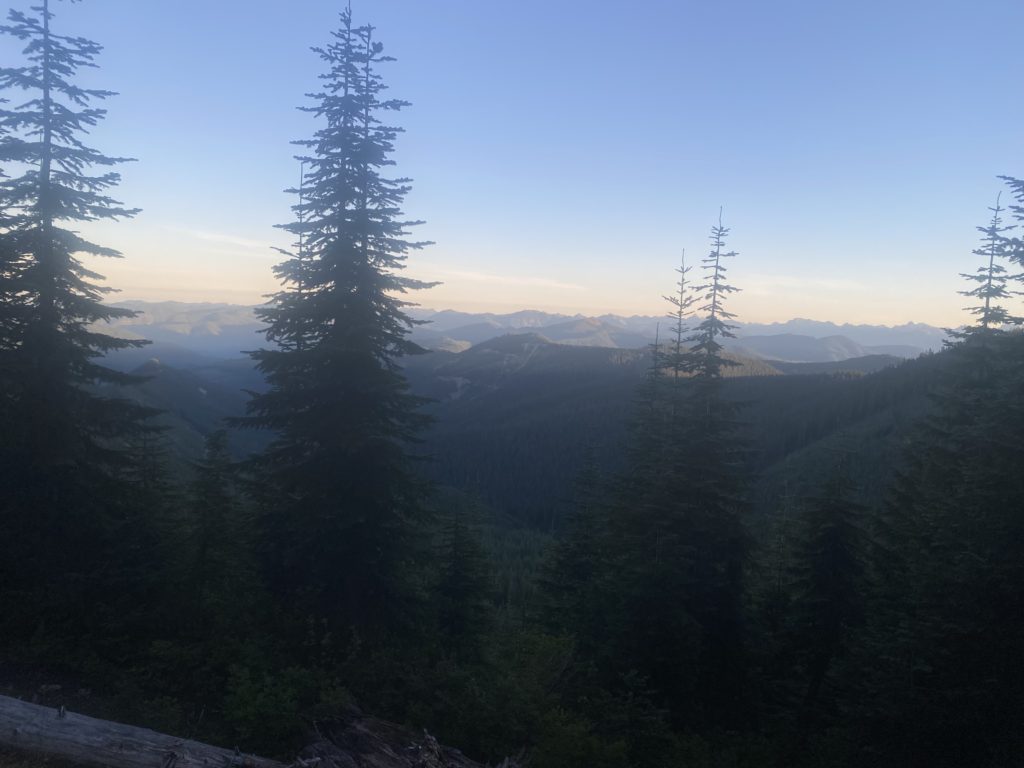
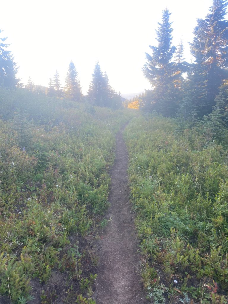
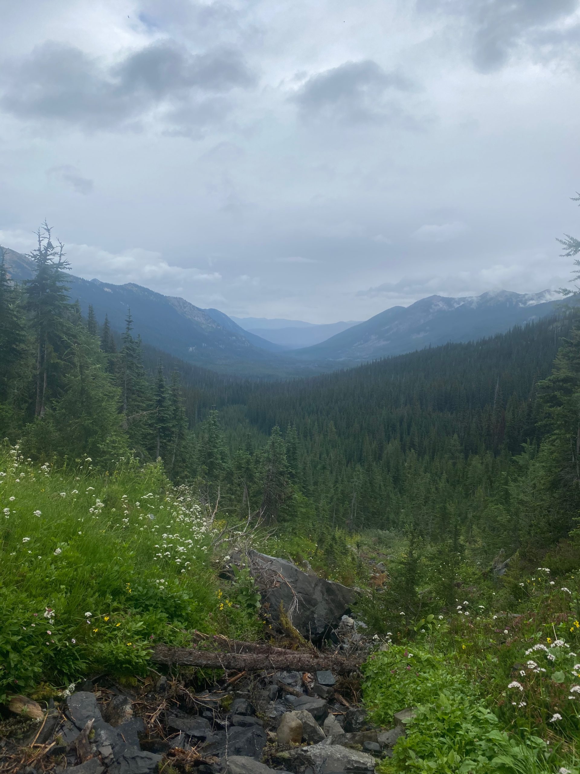
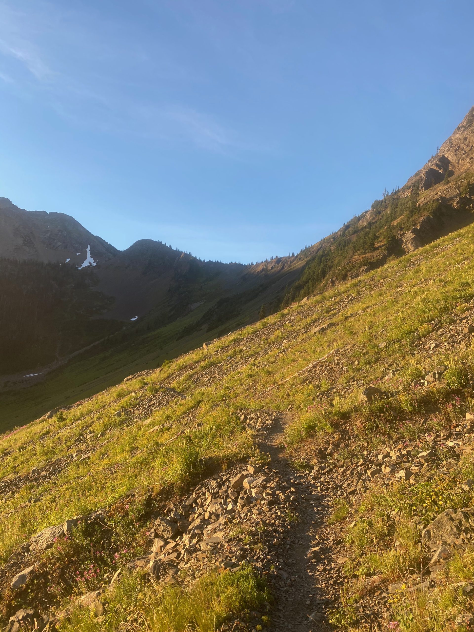
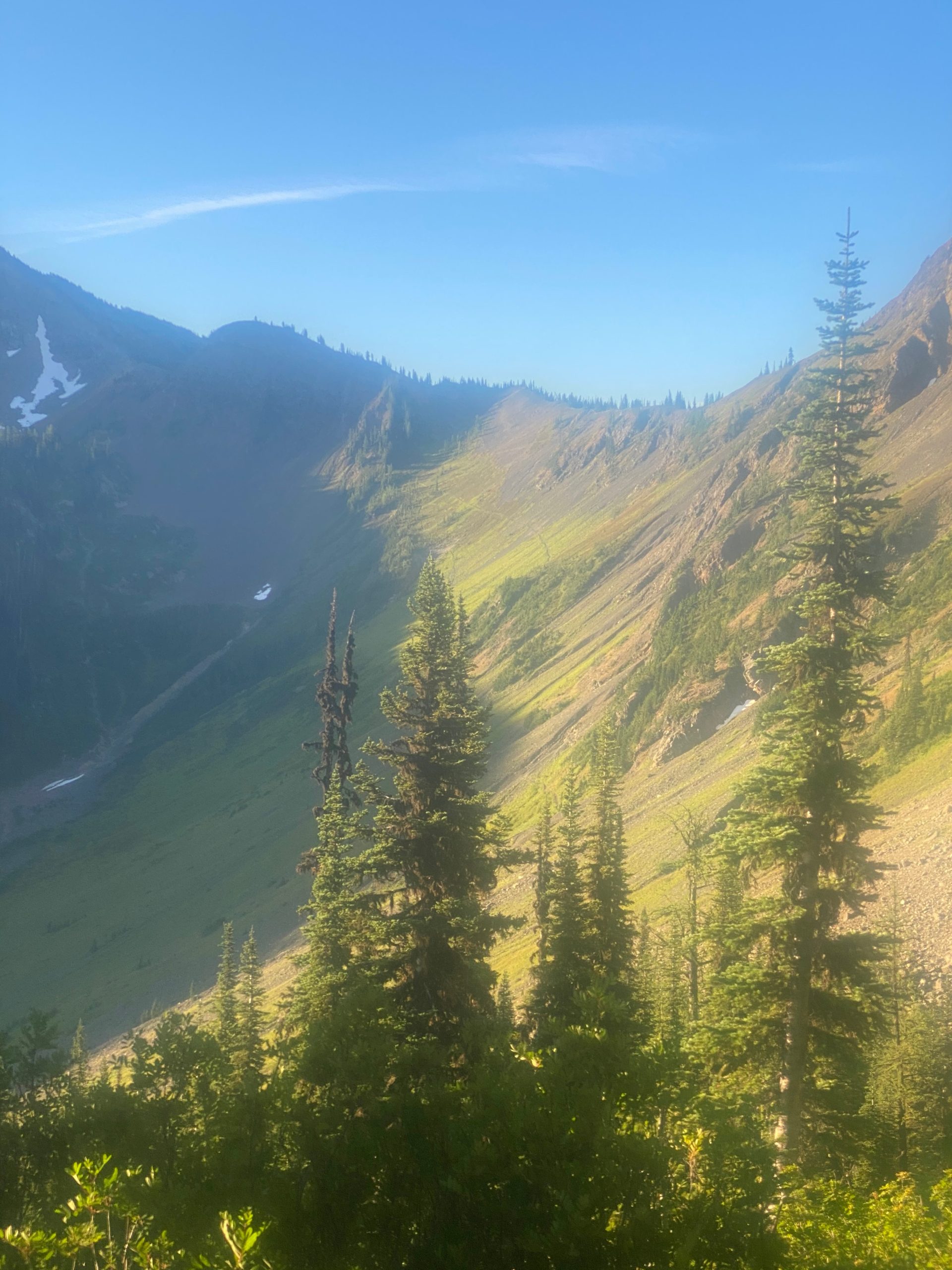
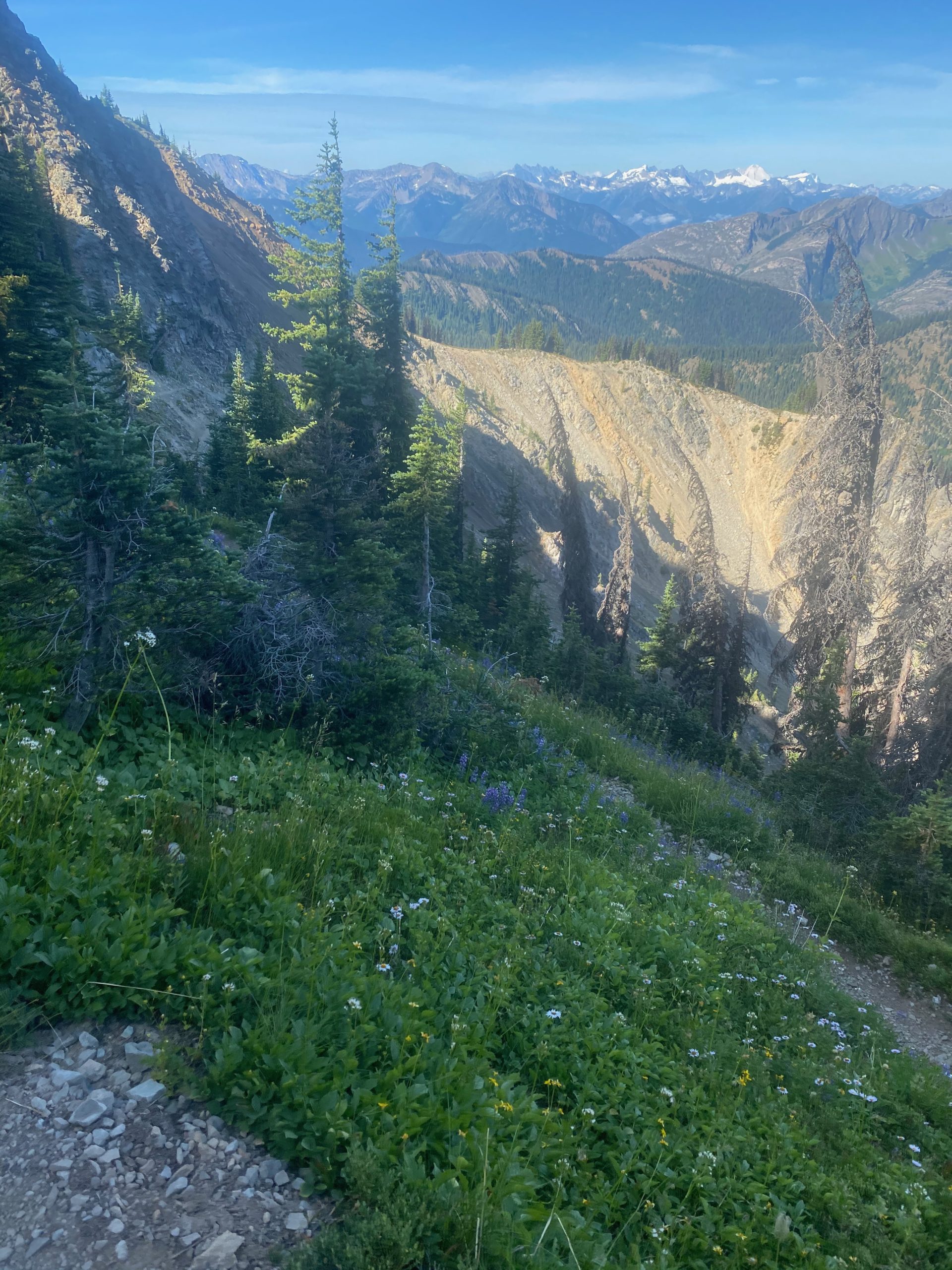
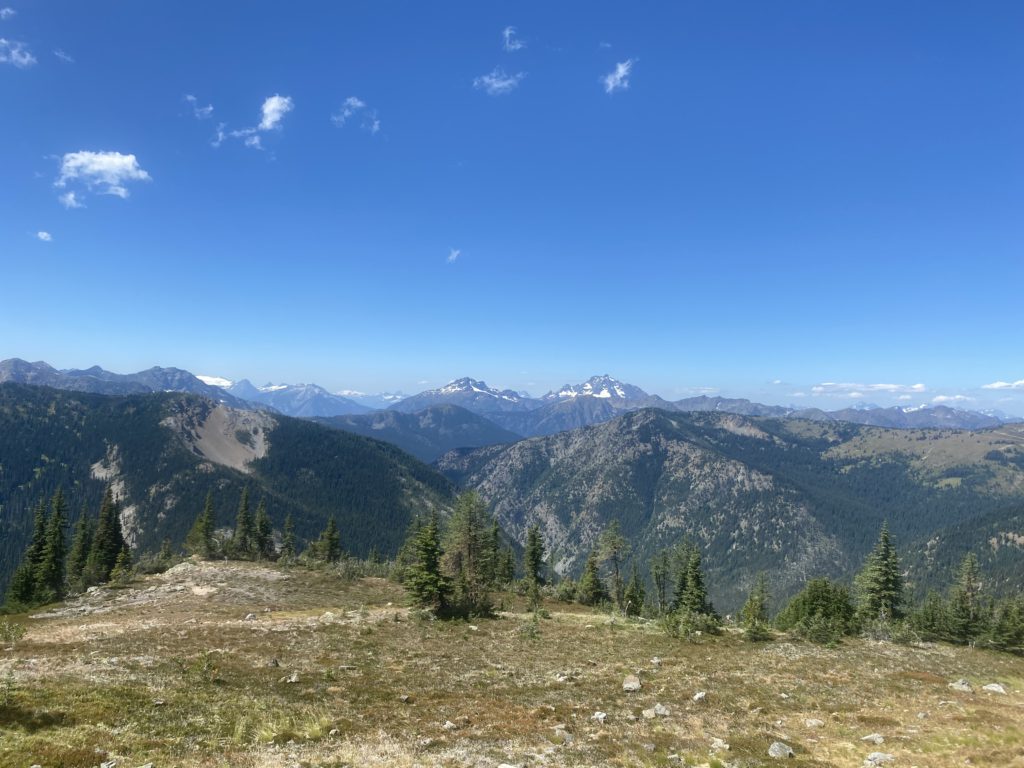
PCT 2347 to 2360. Morning view
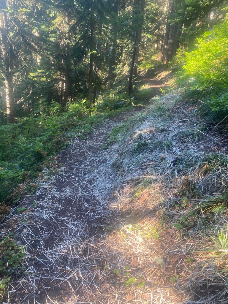
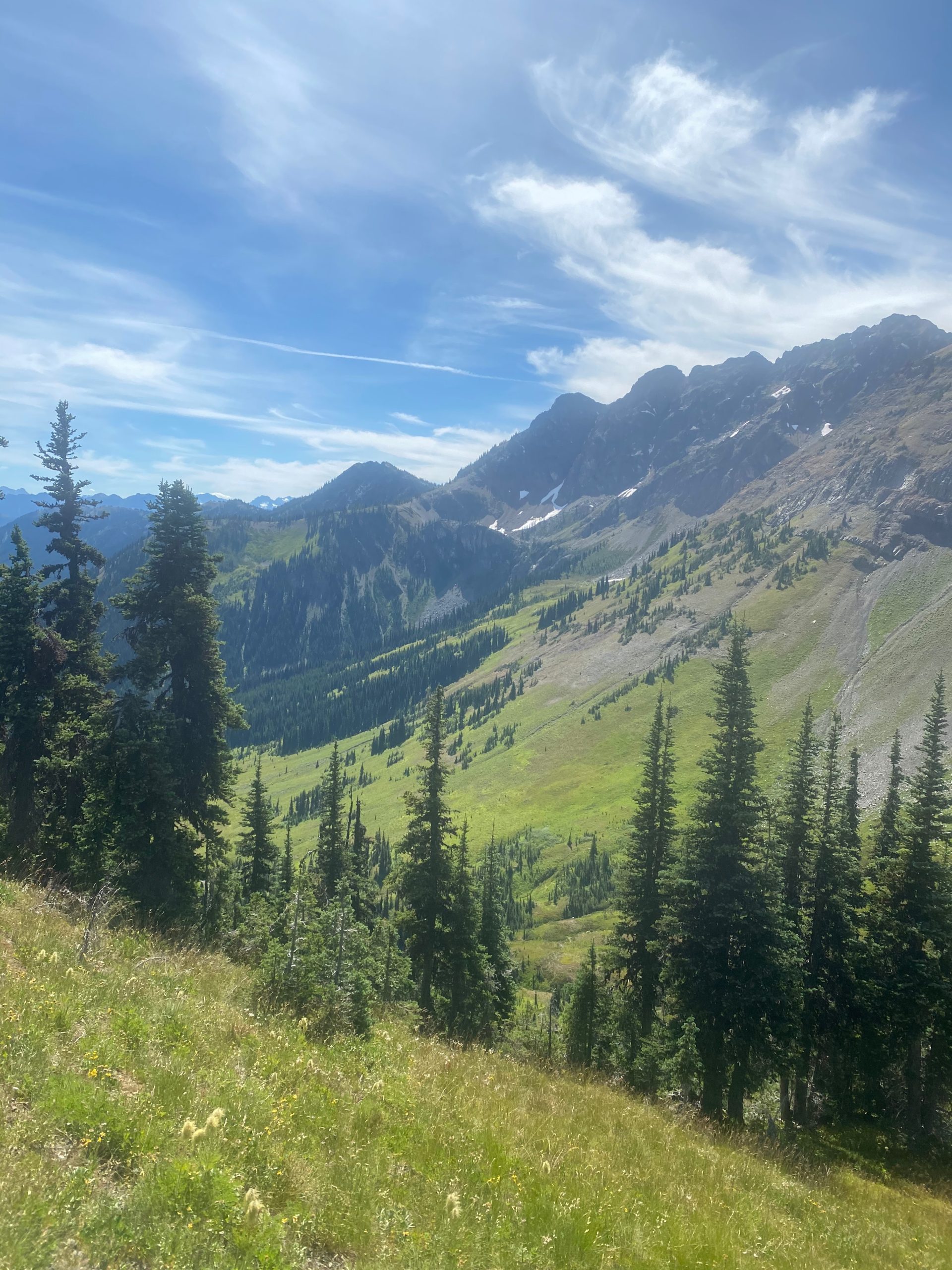
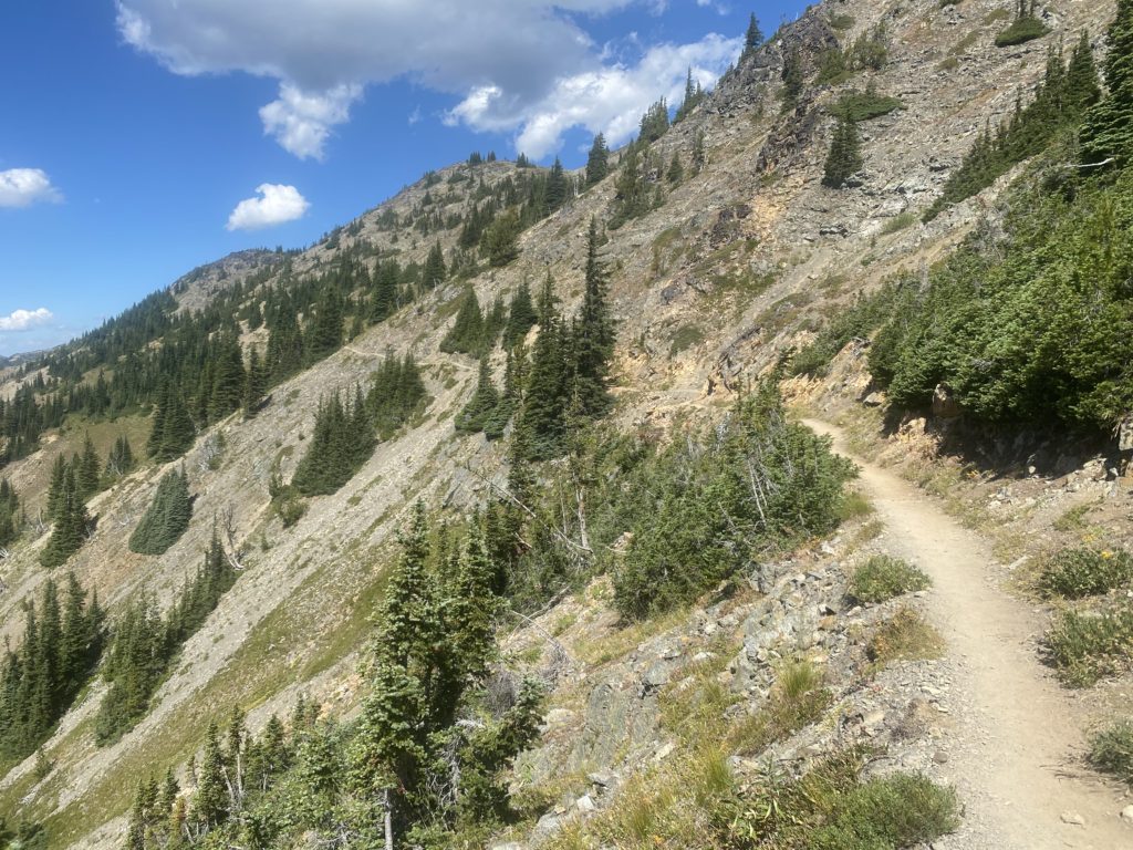
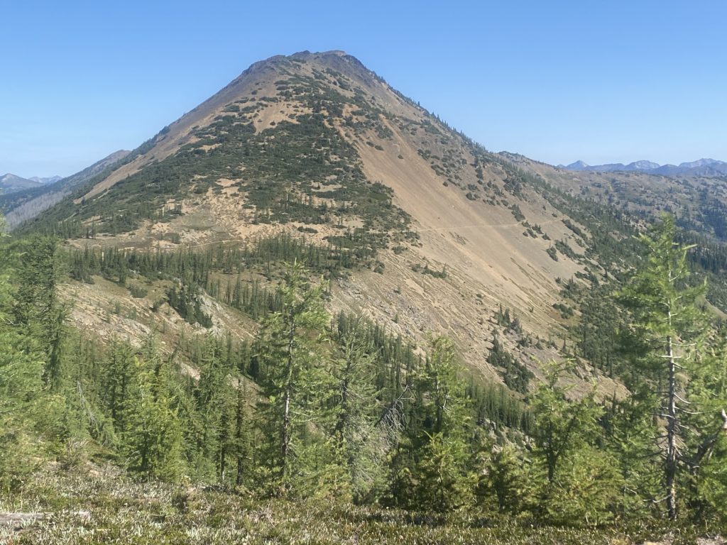
PCT 2347 to 2360. Looks like I’ll be in sun soon
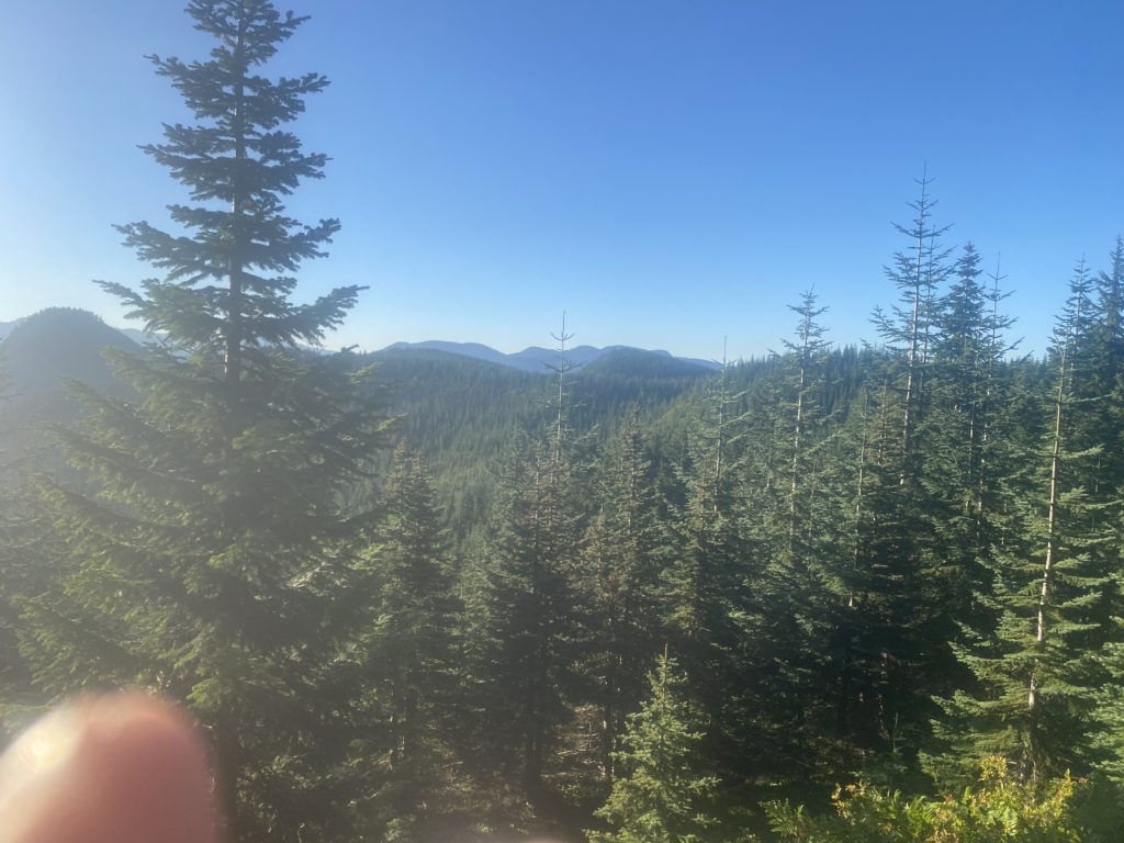
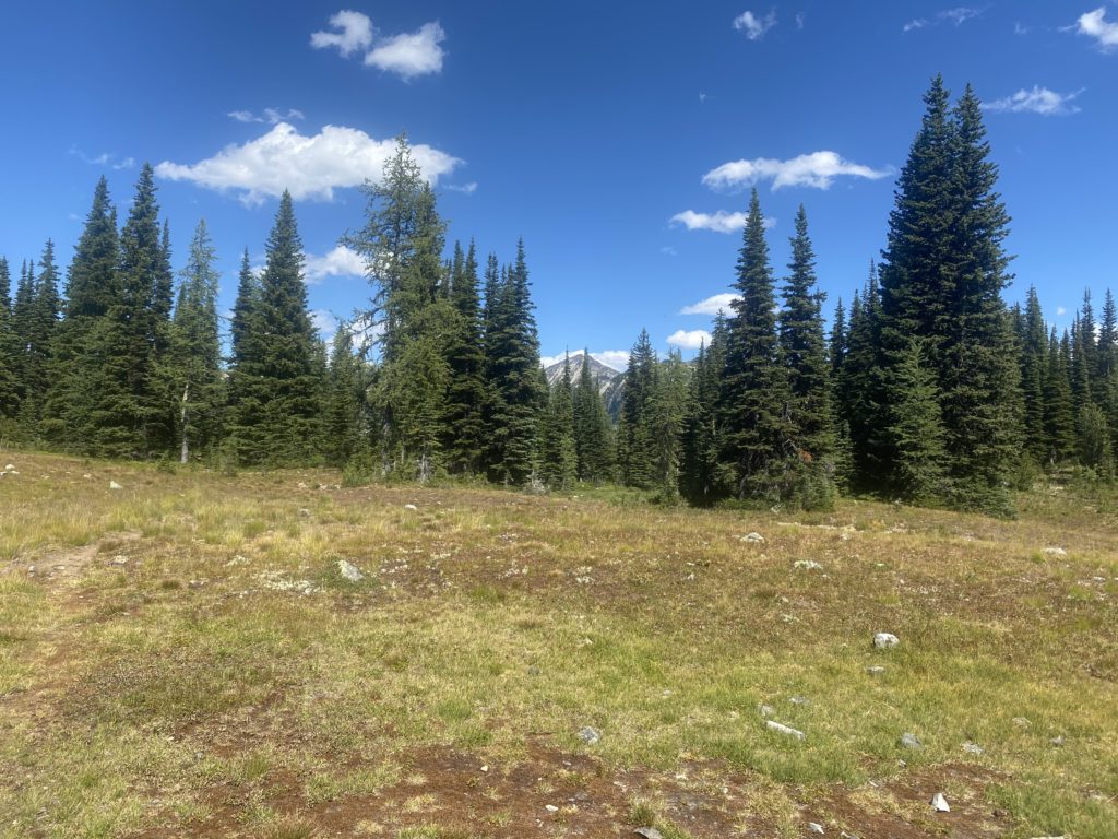
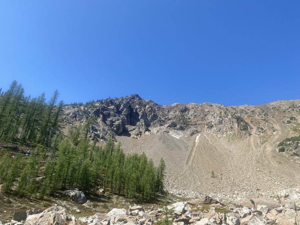
PCT 2347 to 2360. Still on course

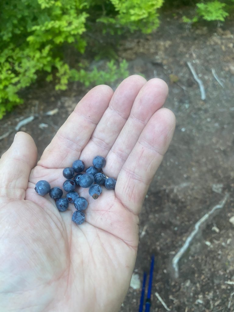
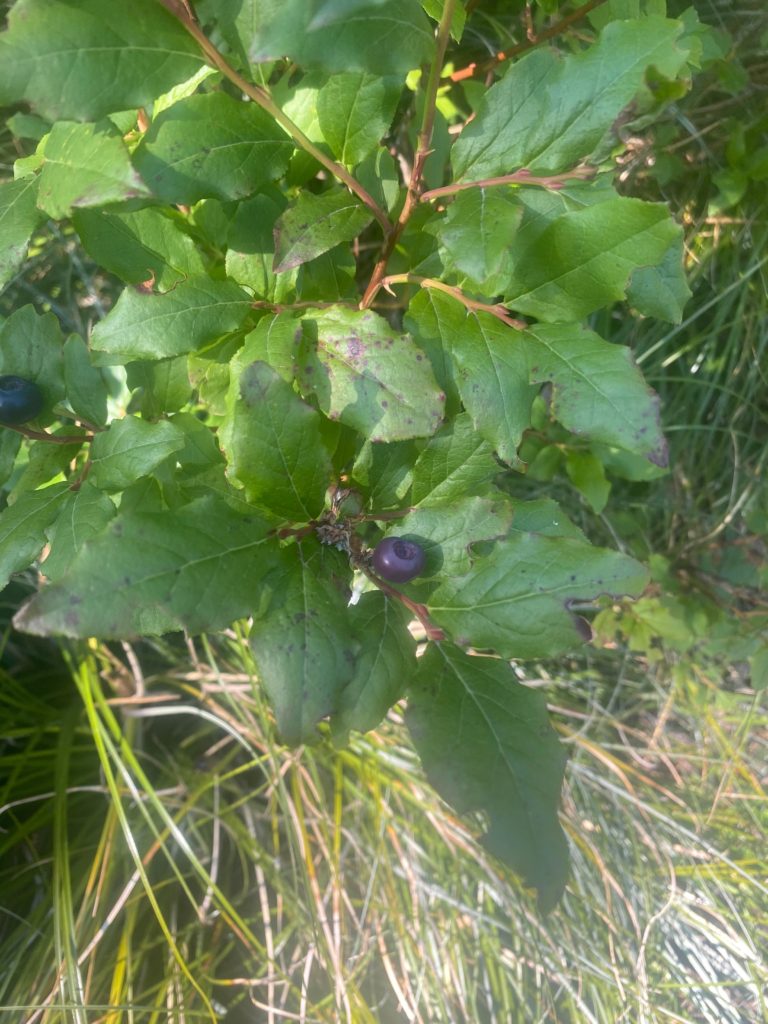
There are a lot of animals about based on the number of tracks on the trail but I have yet to see any large animal. And there are huckleberry plants everywhere. I am continually pausing to get a hand full of huckleberries. They have a very unique flavor. One hiker said they taste like grapes. One hiker said they taste like apples. I don’t think so. I think they taste like huckleberries.
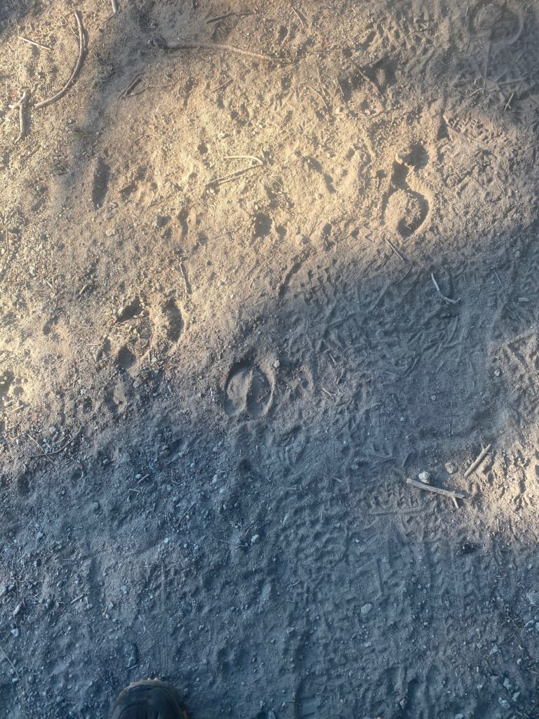
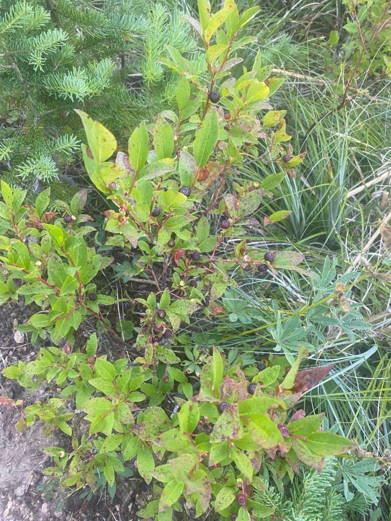
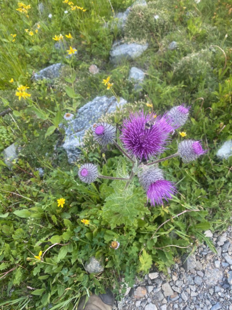
PCT 2347 to 2360. Still gorging on huckleberries

Hiking the PCT is not a zero loss activity. People die on the PCT, people get lost on the PCT. Below is a picture of a poster of a missing PCT hiker. This hiker went missing in 2016. I heard about him when we were here in 2017 and staying at Packwood Washington. A guy who worked the lodge said he knew the guy and told him to delay going back on the trail because a big storm was moving in. He did not listen and went missing. In 2017 they were searching all the caves in the area hoping to find some evidence of him. This guy looks like a mountain man. He has a name of Sherpa!! He had hiked 2300 miles of the PCT. He just went missing.
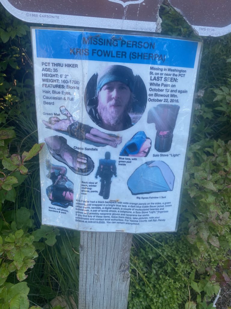
PCT 2347 to 2360. Missing hiker. They are still hoping to find him

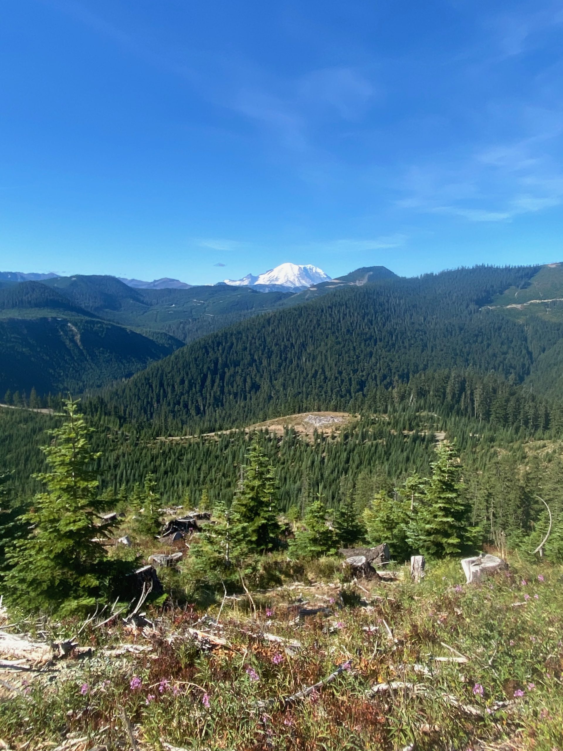
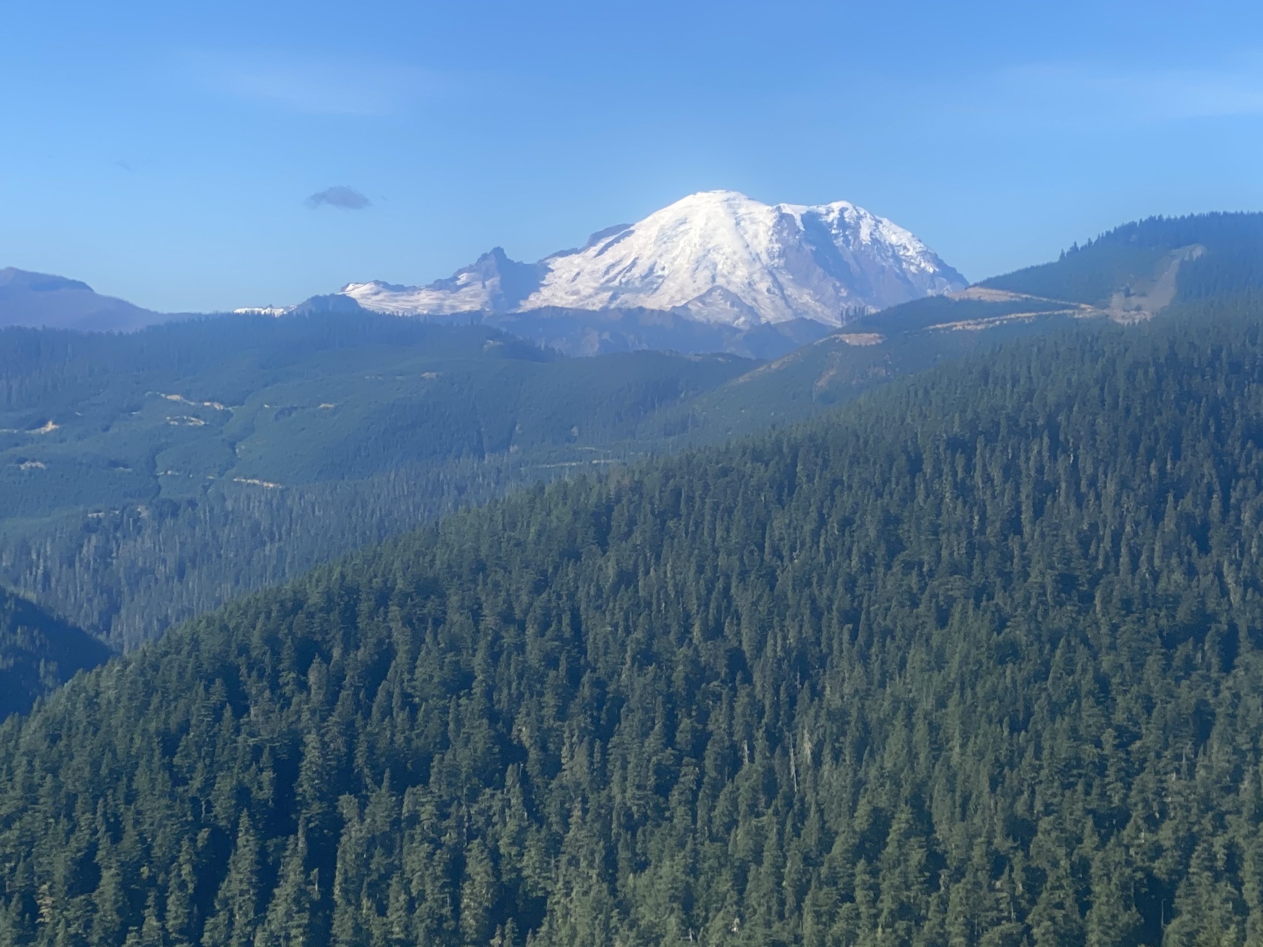
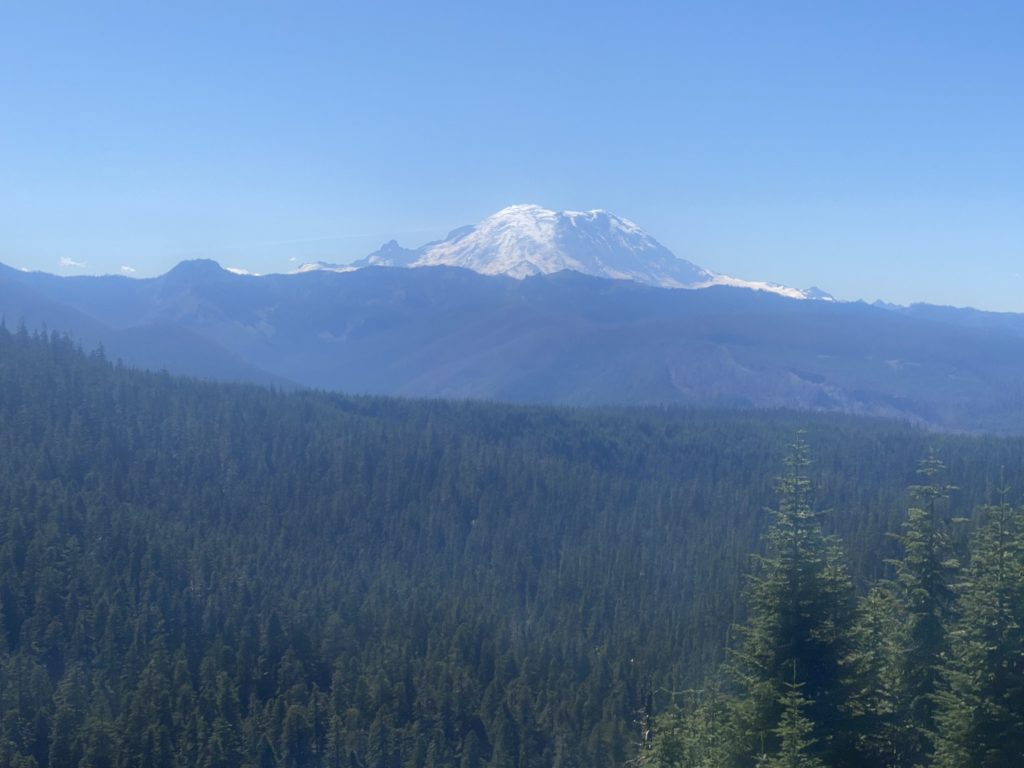
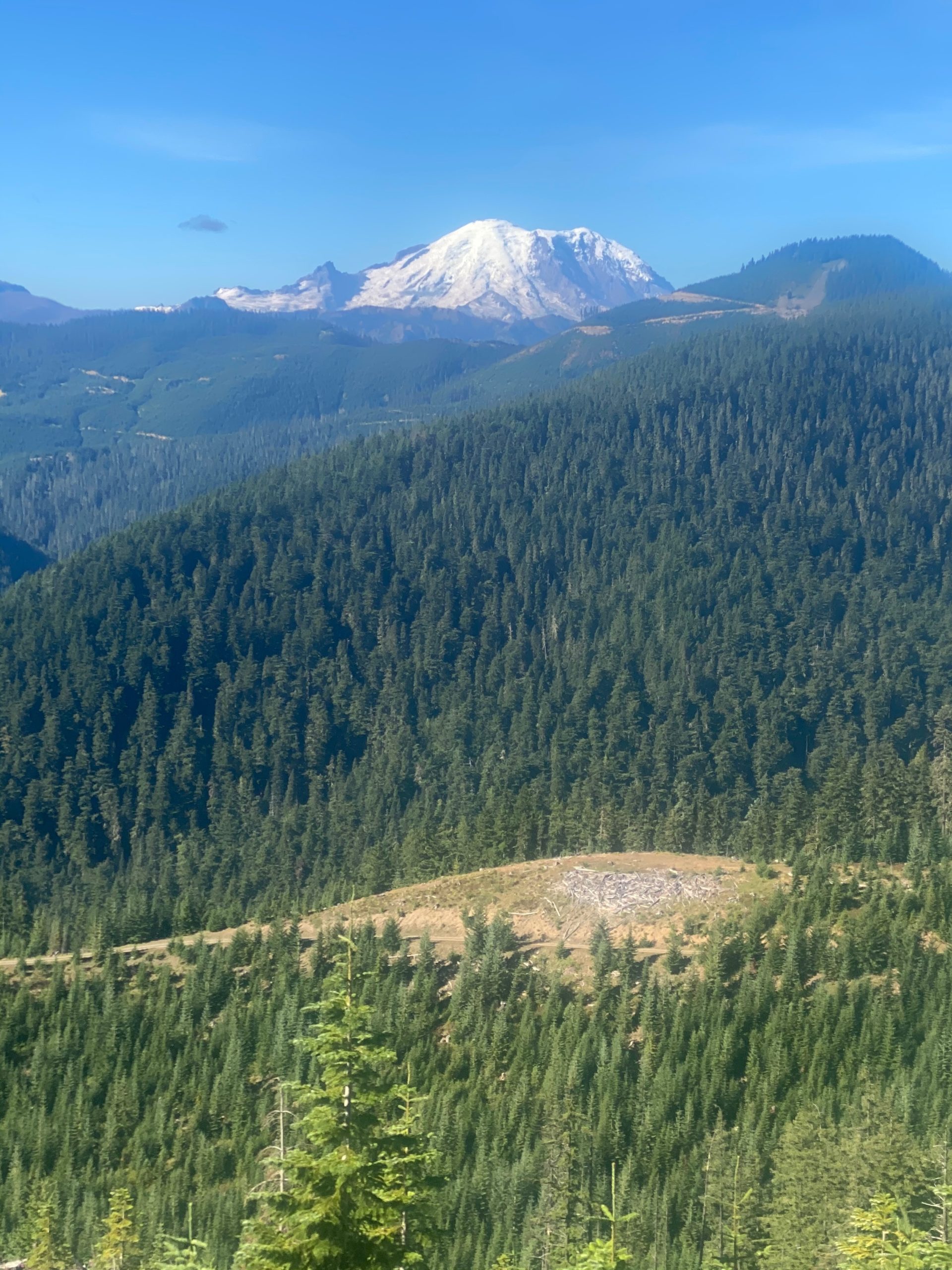
So……I’m minding my own business just hiking, I come around a corner and BOOM, there is Mount Rainier. I take a few pictures (4 actually).
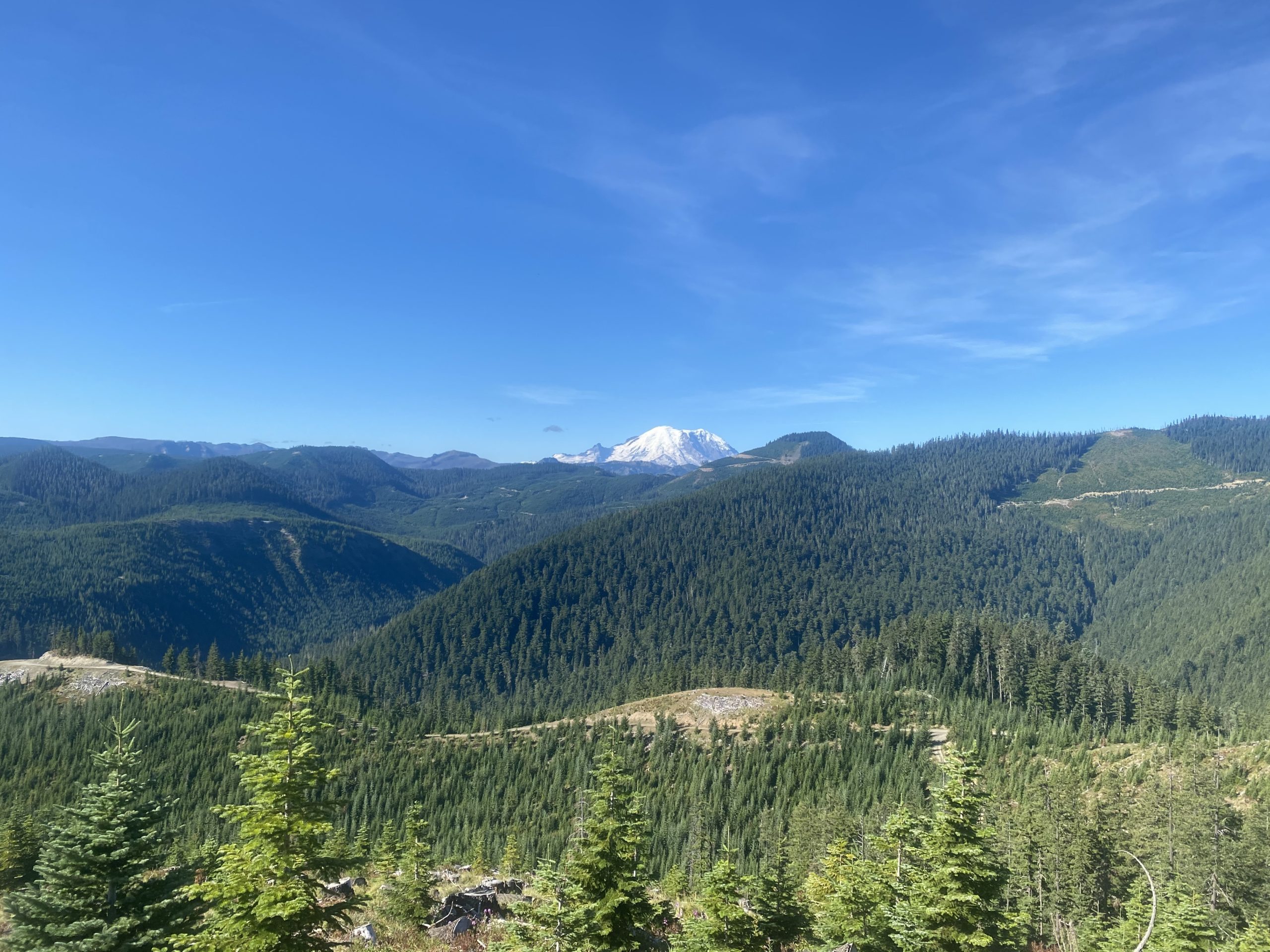
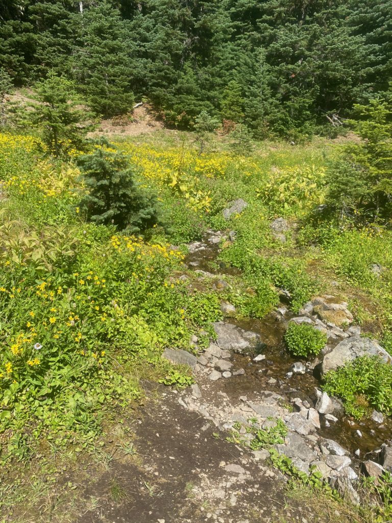
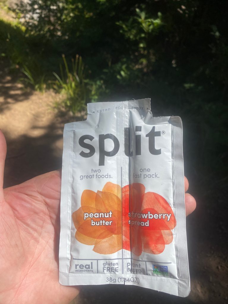
I get to some water after 11.5 miles (that wasn’t so bad) and decide to have a snack and a little to eat.

As I continue walking I get to a burn zone and there is a eagle boy scout information sign there that indicates the fire was started by a logger back in 1988! It is just now starting to show signs of recovery in that pines are starting to grow. Huckleberry bushes are everywhere and of course wild flowers. They is a family group on the mountain and they are picking huckleberries. The second time I have noticed a family group out picking from the side of the mountains. I am sure they sell them to the local fruit stands. Given that they only seem to grow at these high elevations, away from civilization, they are very expensive and I’m sure this family will make a few bucks on all they are picking. I have a video of the burn zone.

Getting closer to Mount Rainier

PCT 2347 to 2360. Mount Rainier
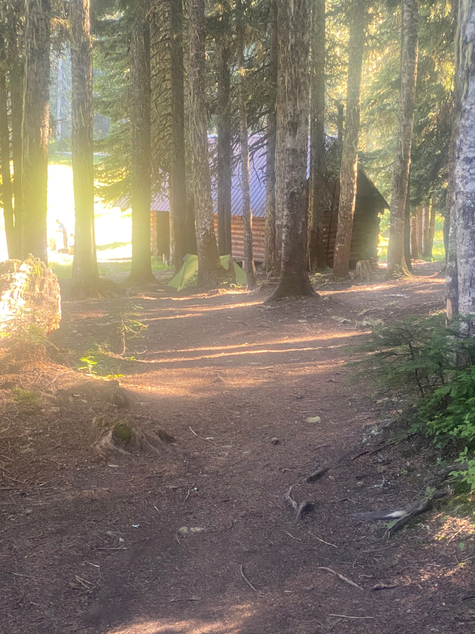
So I stop for the day pretty early at Mike Urich cabin just because it is so pretty and a little bit of a famous spot on the PCT. There are already 2 people stopped here as well and within a couple hours there are at least a dozen people. It is just one of those places that you have to stop at and write about how you stopped at it. One of the guys already there is a PCT thru hiker named Huckleberry (not sure why) and he has stopped so early because he is hurting. The tendon that runs from the outer hip to the outer part of the knee is inflamed and he says at times he can’t even bend his knee and has to walk stiff legged. And I thought I had problems. Anyway he is guessing he will have to go off the trail when he can get to Snoqualmie. He indicated he skipped the High Sierra’s because none of the towns in the area wanted PCT’ers because of COVID. A little while later in another group a PCT hiker named Turtle comes in and has severe pains in her left calf and also thinks she will have to go off trail for awhile. Whoever named her Turtle is like the Russian skating judge who gives the first skater all 10’s. There is no wiggle room. If they named her Turtle then what are they going to name me? I guess they could call be Sloth but that would just be rude. I mention them both only to indicate what an achievement it is for those who can start and finish the trail in 1 year. There are so many things that can go wrong and some of them you can’t just suck up and work through. They are within 250 miles or so of reaching that goal and both may have to stop. I tell both of them….OH Yeah…… well….. my back itches.
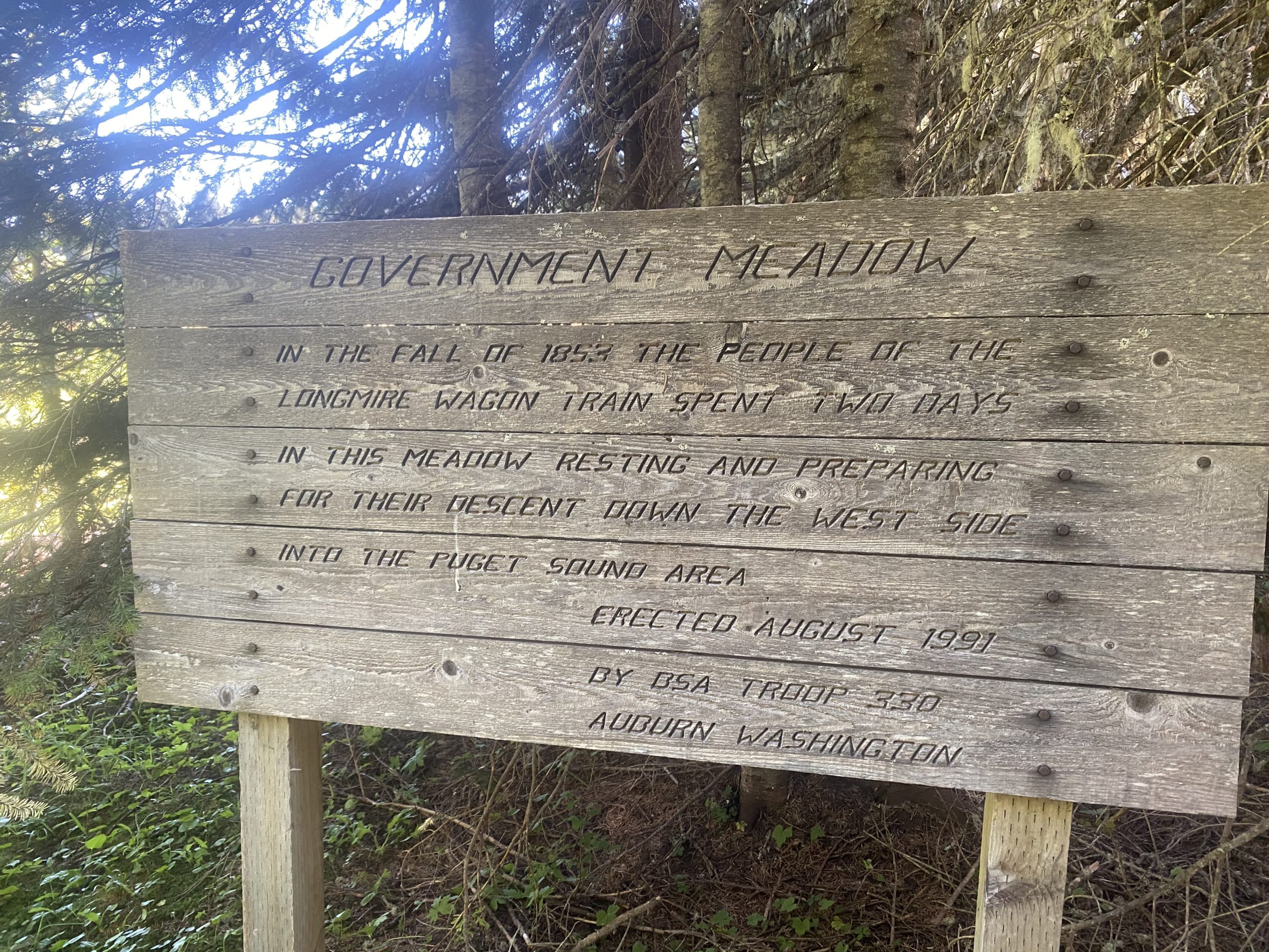
The cabin was built to commemorate the life of Mike Urich, a forester who died in 1957. There is a plaque which reads,

     The mountain Gods from seat on high,
     Rejoiced to see Mike Ulrich die.
     And at his death gave this decree:
     “to all who pass here, know that we entrust to big Mike Ulrich’s hands these camps, these trails,
     these forest lands: to rule, protect, to love and scan as he did while mortal man;
     And deal out sentence stern and just on those who violate his trust.”
     Stranger, beware, leave not a fire
     Foul not Mike’s camp,
     Rouse not his ire!”

Taken from: https://bobofwashington.blogspot.com/2014/10/ulrich-cabin-to-snoqualmie-pass-on.html

Aug 26, 2020 PCT Between 2360 and 2371

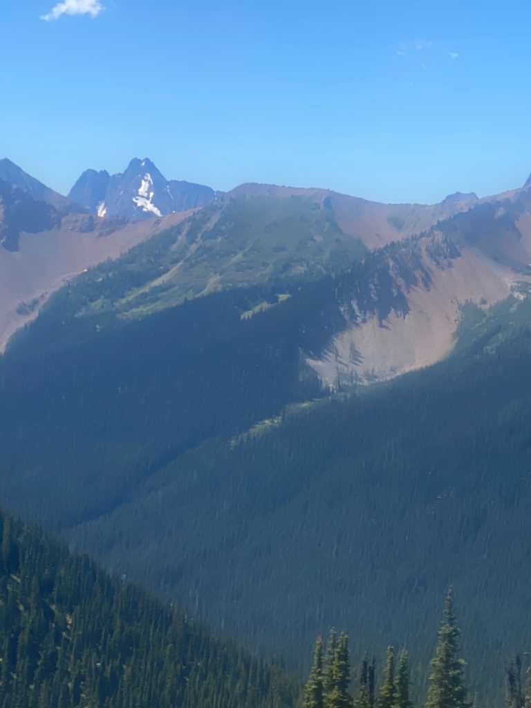
Had a good nights sleep and it is another beautiful morning. Here here is a morning view.

PCT 2360 to 2371. Morning view

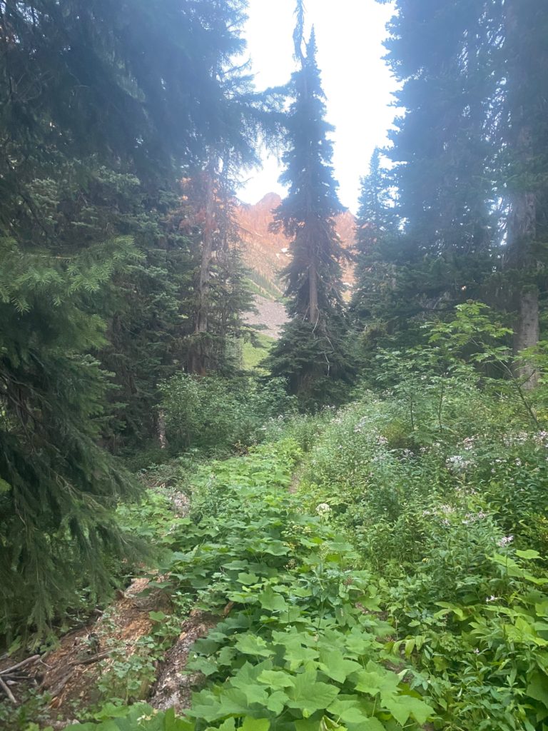
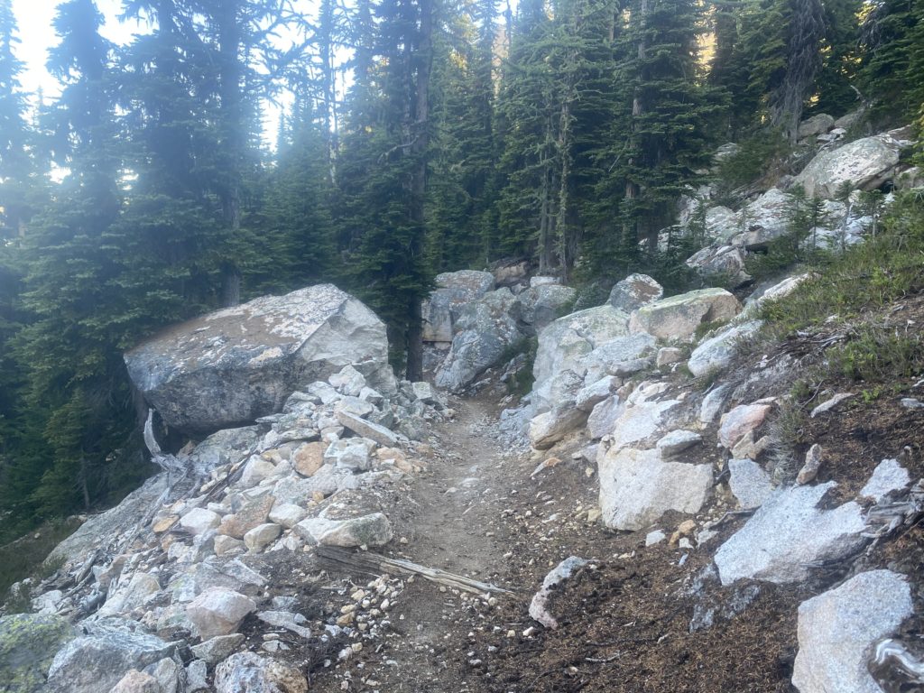
Nice trail through here and it looks like there has been some maintenance done to keep down the bushes by the side of the trail. I did not think any maintenance was being done this year at all.

PCT 2360 to 2371. Trail Maintenance

Stopping yesterday often to dry my back and shirt has helped the situation with the rash but it is still there. Here is a view I had while waiting for my shirt to dry.

PCT 2360 to 2371. View while waiting for shirt to dry

One of the rare signs I have seen telling me about the national forests and wilderness areas I am in. Here I am leaving the Mt. Baker-Snoqualmie National Forest. The Mount Baker national forest was established in 1907 an the Snoqualmie National Forest in 1908, under President Theodore Roosevelt. They were combined in 1974.

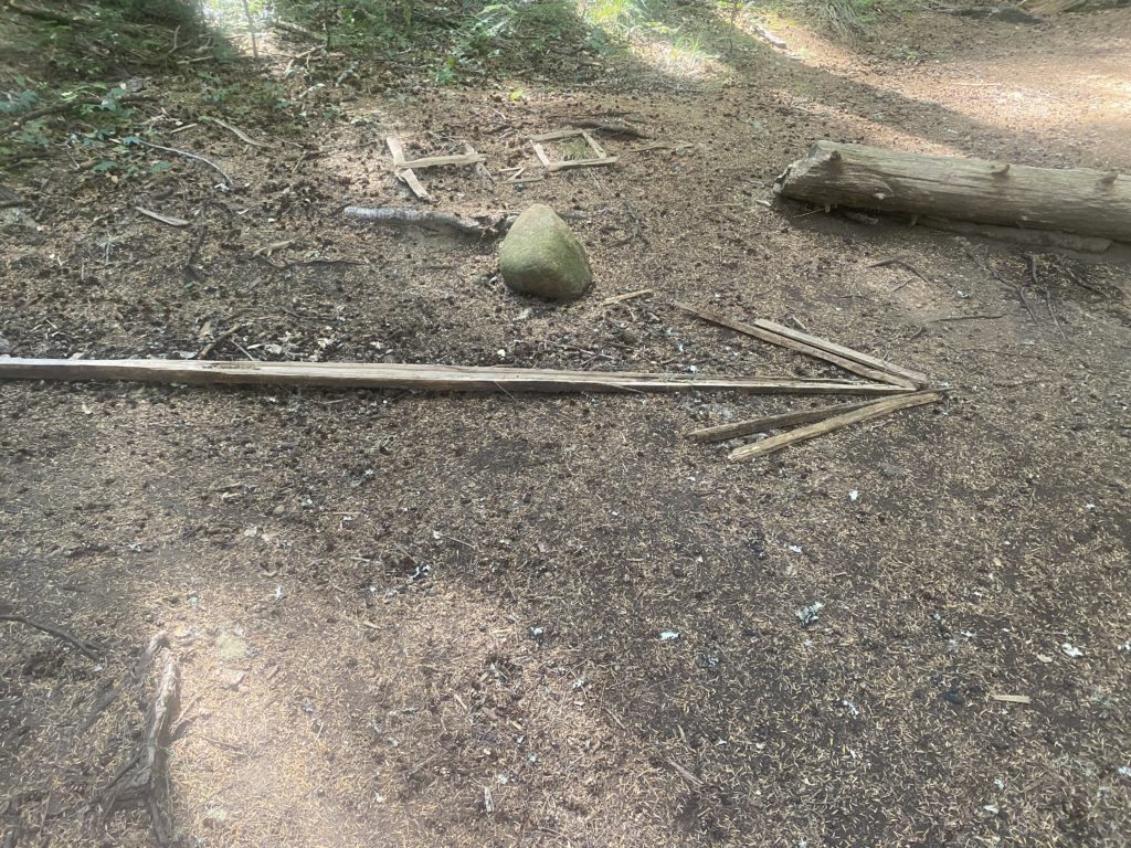
I get to the Tacoma Pass road which is a beautiful gravel road and need to dry my shirt again. While I am waiting a car drives up, goes by, and then backs up and parks. I guy gets out and tells me he dropped his wife off at Stampede Pass and she is hiking towards Tacoma. He is going to hike towards Stampede and when they meet will both return to Tacoma to get the car. He is pretty experienced with the area and tells me that ahead of me there is a spring off the trail and is the last water for 11.5 miles so I should fill up. As we are talking a guff PCT hiker walks by and says he didn’t know it was shirtless weather and just continues on hiking. Pretty funny. So I am told there will probably be a sign on the trail that indicates where the water is. Below is a picture of the sign.

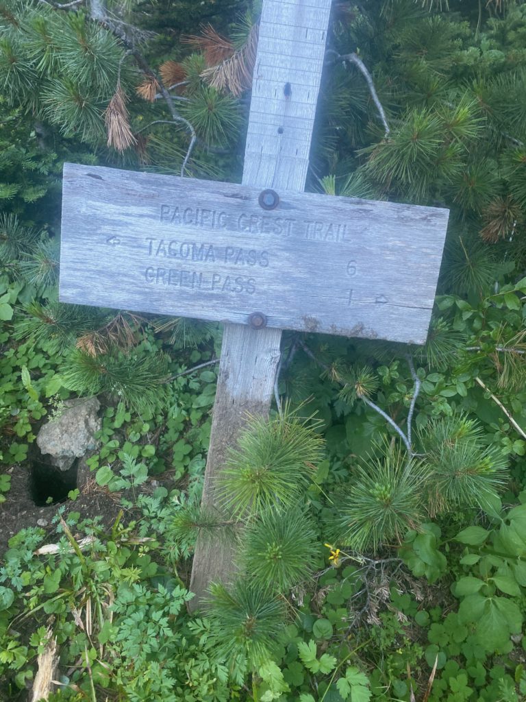
PCT 2360 to 2371. Arrow pointing me to the water that is off trail. Next water in 11.5 miles

Now that is what I call a sign. The spring is about .2 of a mile down a pretty good trail and the water is great there. Easy to gather and very cold. I come back up to the trail and have a snack. Good time to have a snack as I have a bit of a climb ahead of me. Not that much later I am drying my shirt again.

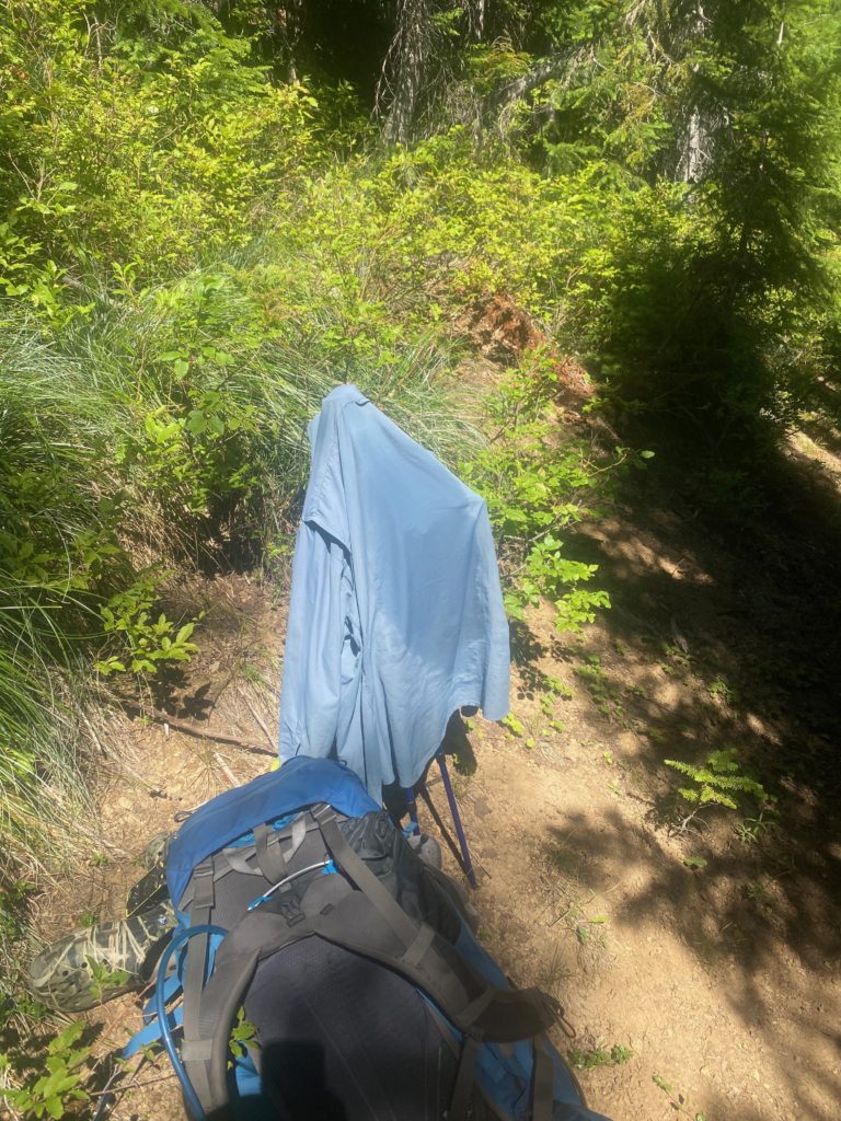
PCT 2360 to 2371. Shirt needs to dry. Good thing I am patient

I meet a gal a little later on and we chat for awhile. She is going North to Stevens Pass and she asks if I had started about the border. I told her about my experience and how I did not feel comfortable about the trail and had to turn around. That I regretted not getting a picture at the northern terminus of the PCT. She smiled and said that is what PhotoShop is for.

Heading for a particular campsite but when I stopped to read the reviews for it I found out that all the sites were pretty badly slanted and I noticed a small single site campsite right by the side of the trail and so I stopped and set up camp. Last night there was a lot of moisture in the air and my tent fly was pretty wet. I had time here to lay out my tent and let everything dry out. As I wait for the tent to dry I have a meal and look up through the trees into the sky and there are 3 vultures flying overhead.

Aug 25, 2020 PCT Between 2371 and 2385

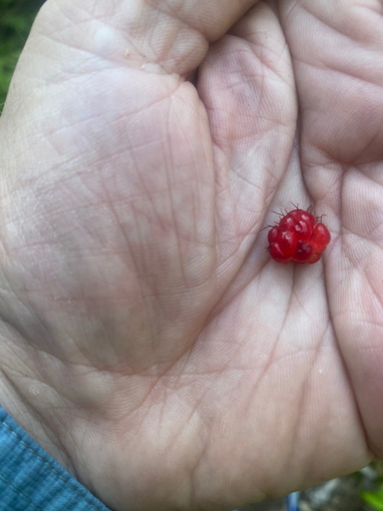
So I showed you the view of the lake I woke to in the last post. Just a wonderful way to start your day. Not much really happens on this day except I do discover in a big way huckleberries. There are huckleberries everywhere I look and most times I stop and grab a handful. Probably ate a hundred or more huckleberries. There are also blueberries and wild strawberries on the trail. Seems like I am pausing often just to get some more berries to eat. I have developed a bit of a rash on my back. Where the backpack straps on along my back it tends to gather and contain the sweat off my back. This happens every year on the PCT but this year it itches like you can’t believe. I have to stop about every hour or so and take off my shirt and let my back and my shirt dry out. Once they are dry there is no itching and all is fine. Dry is good. Wet is bad. Takes a lot of time to keep my back dry. There are no locals on the trail now because it is too far for a day hike but there are a few PCT’ers but they are all in a hurry and I don’t get to talk to any of them except to say hello, have a good hike. I don’t see Tom Hanks from yesterday at all and wonder what happened to him. I really wanted to get some information from him especially since Lenora’s maiden name is Banks. But it was not meant to be. I also thought he may have seen my day bag and picked it up.

It also occurs to me that every year on the trail I run across folks that are my age or even older doing the PCT. That has not happened this year. No seasoned PCT’ers, only young folks. Wonder if it has something to do with COVID.

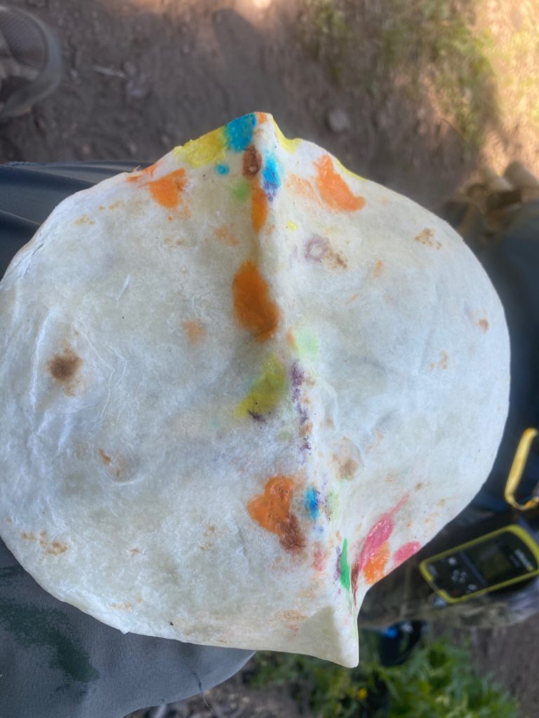
It was a productive day even with stopping often to dry back and shirt. Almost a 14 mile day which this year is a very good day. I am eating well and find out that a tortilla, fixed with Lemon Pepper Tuna with extra virgin olive oil, with relish and mayonnaise and dipped in ranch dressing is a magnificent meal. The new meal plan is definitely working and I actually look forward to each meal. I start the day with two Carnation Instant Breakfasts which hydrates me to get started. Then twice during the day some Tuna in a tortilla with various condiments. Also some M&M’s and peanuts and peanut butter along the way.

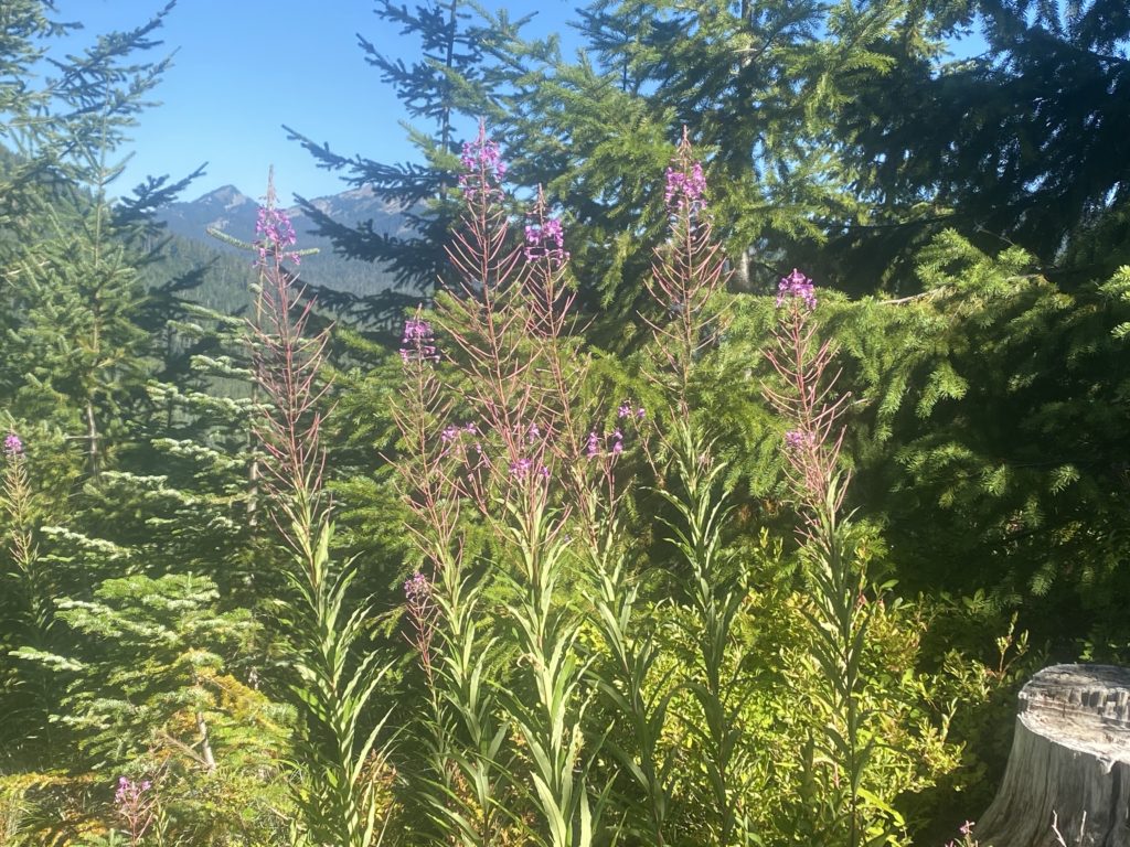
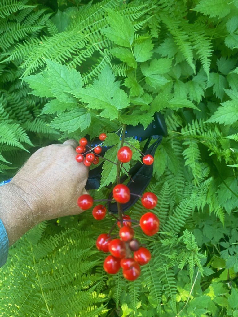
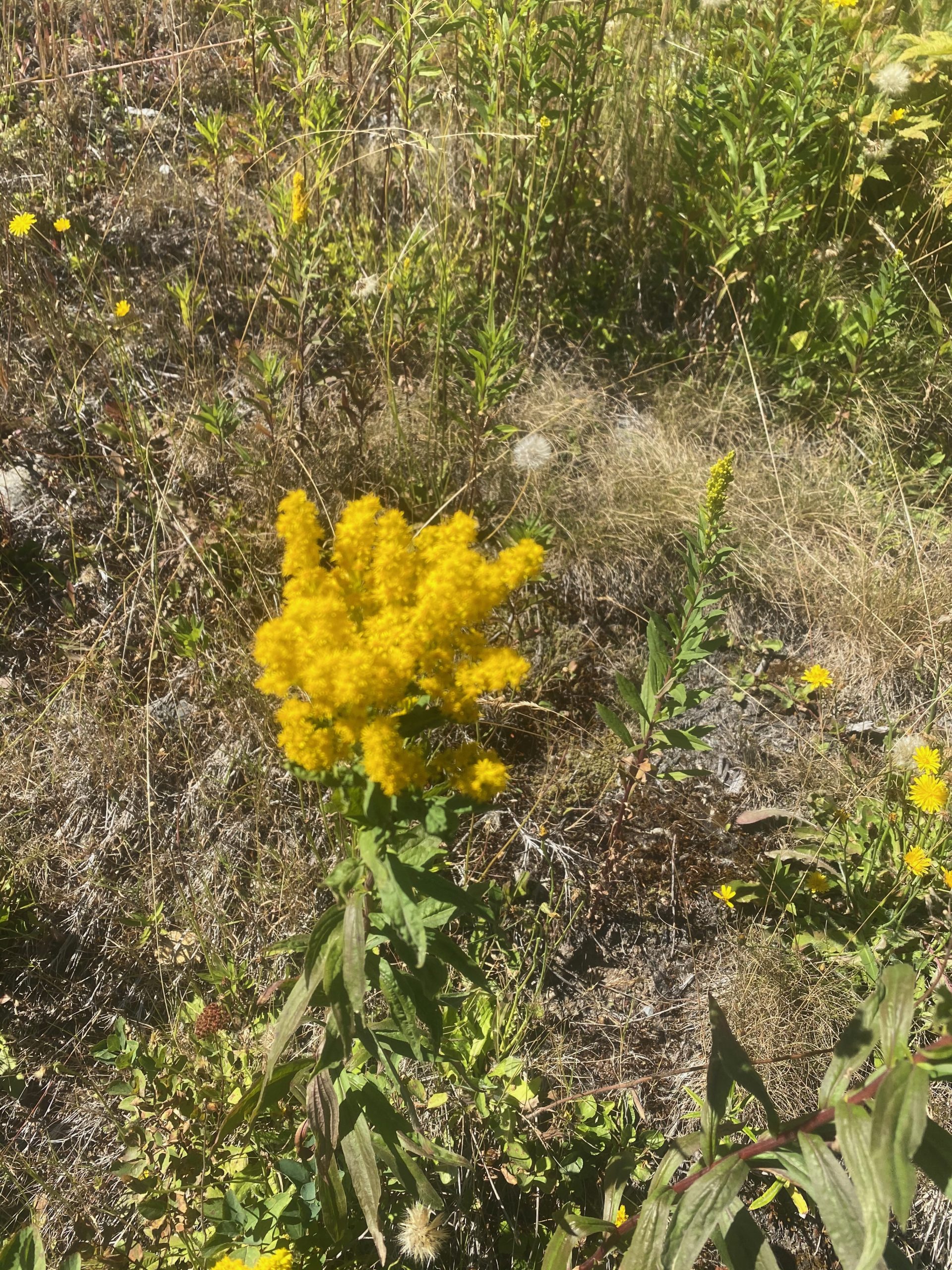
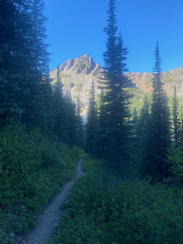
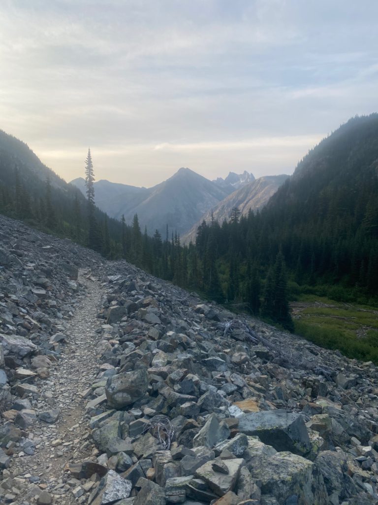
Here are some images from the trail today.

Aug 24, 2020 PCT Between 2385 and 2393

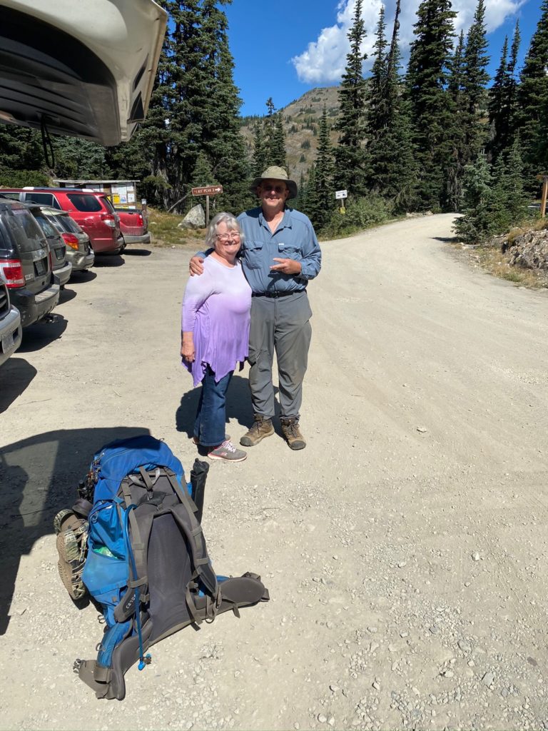
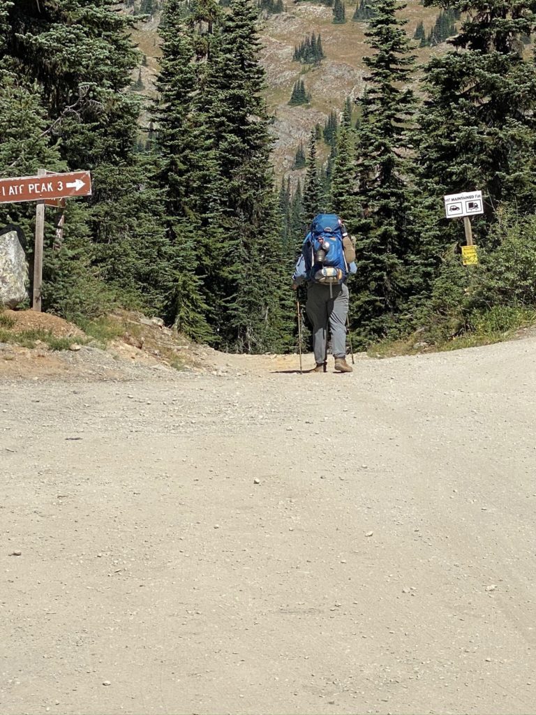
So this is the fourth time the girls are sending me out. This time we are expected it to be as many as 8 days. Here are some sendoff photos

Starting at Snoqualmie and heading south for Chinook Pass. About a 70 mile hike. Chinook Pass is where I stopped in 2018 while hiking north and so I am connecting the dots. It was about a 4.5 hour drive from base camp in Oroville to Snoqualmie. As I was preparing this morning I FINALLY took the cocoon sunglasses off my pack. I indicated I had those glasses on my pack for 5 years and I have never used them and every time I put my pack on the sunglasses whip around and hit me in the head. Generally about 10 times per day! Lenora looks at Martha and said that that seemed like good training for a long and happy marriage :). Add that to the fact that when they last picked me up and we were driving home we went past a skunk smell and both of them said that it was a rather refreshing smell. OK, after being on the trail I realize I don’t smell great but to call a skunk refreshing is a bit of a slap in the face. I get no respect!

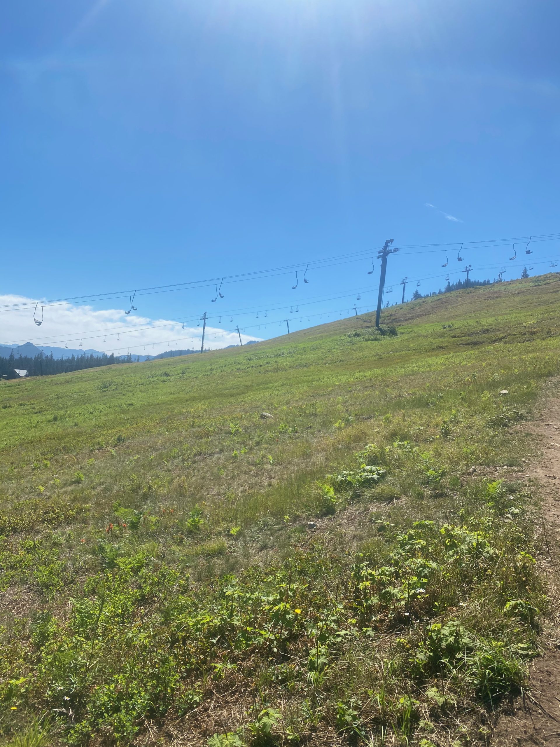
We get to Snoqualmie and find the trail head which is sometimes not the easiest thing to do. We do find it and we have the sendoff and then I start to hike. I think I am going one way and then the trail does a 180 and I end up hiking right back above the parallel to the road we came in on. I thought I might see Martha and Lenora drive away but I did not. So I am walking in an open are where the ski lifts are and here are some images of that area.

It is a pretty easy trail with nice scenery along the way. I pass a lot of locals who are usually heading towards Mirror Lake and back for a day hike. That is where I am heading for a campsite.

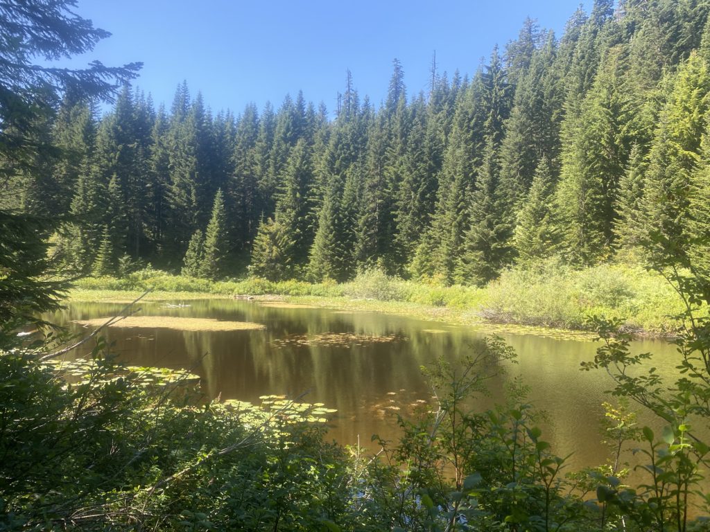
PCT 2385 to 2393. Small pond on trail
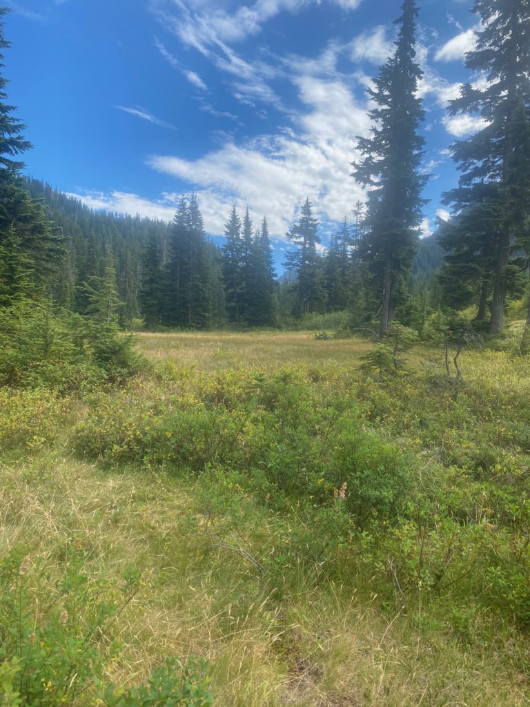
PCT 2385 to 2393. Ollalie Meadow
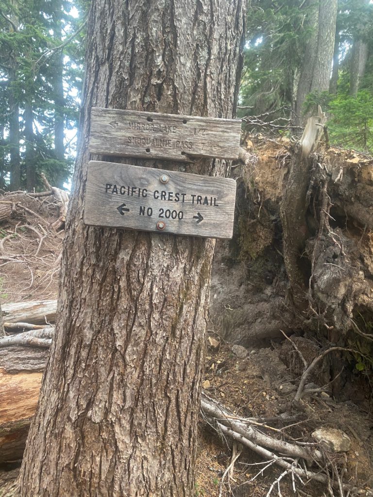
PCT 2385 to 2393. Always nice to know

The sign above is one of the better signs I have seen in Washington. They are not much on maintaining their signs. I meet a man on the way that is sitting on the trail and I stop there as we are both looking down on Hwy 90. His name is Tom Hanks and he says he is on the trail gathering information to write a couple books. One for children and one for teenagers about hiking and the trail. We talk for awhile and I am interested in his books and he indicates we can exchange information later. Figure we will meet up at Mirror Lake. He is slow. I am slow. He stops for awhile to look at his phone and I never see him again. Slower than me…. hard to believe. About half way to Mirror Lake I stop to have a snack. I have a day bag that I keep in the side of my pack to make eating easy for the day. A days worth of food on the outside of the pack, the rest of the food on the inside. I take out the day pack and have a snack and apparently I forget to put the day pack back into the pack. I just lost the first days worth of food. I can’t believe I did it. Turns out not a problem as I have food for 8 days and it only takes me 6.

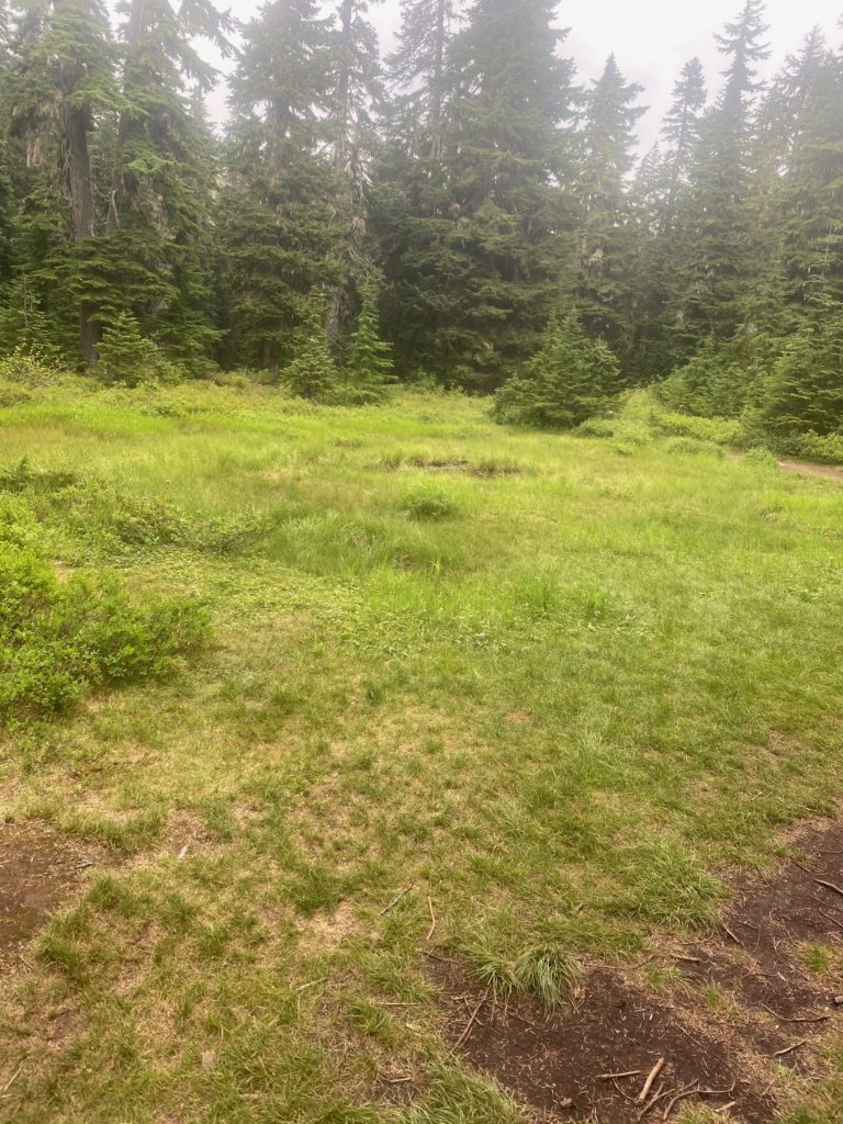
So I get the point where my Guthook application says I am at Mirror Lake. I look around this is what I see. Can you see that small amount of water in the middle of the meadow. You might be able to imagine my thoughts at this point.

PCT 2385 to 2393. I thought this little bunch of water was the much anticipated Mirror Lake

I walk on probably not more than 200 feet and this is what greets me.

PCT 2385 to 2393. The real Mirror Lake

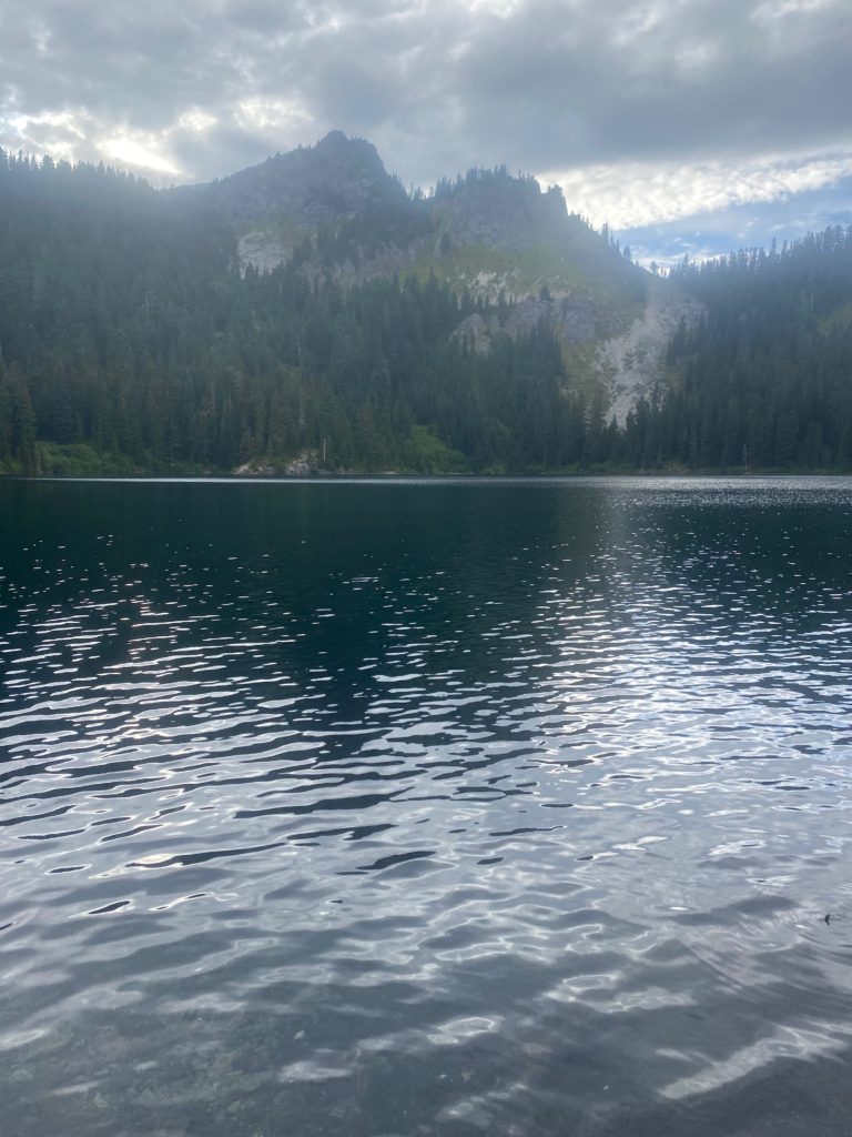
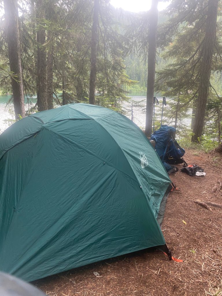
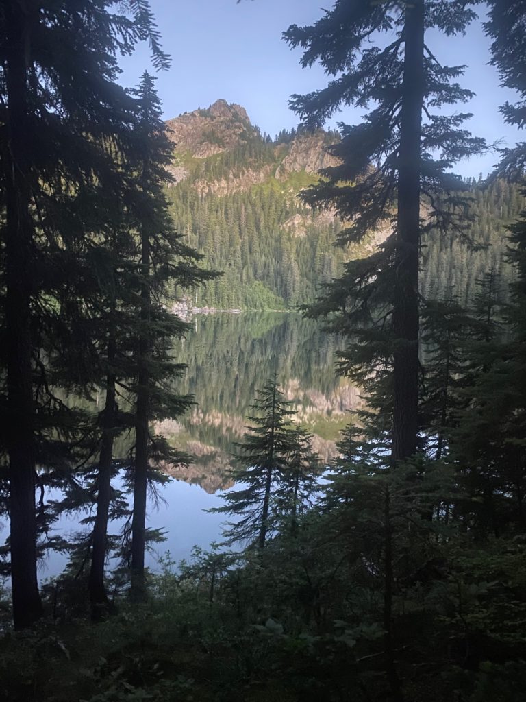
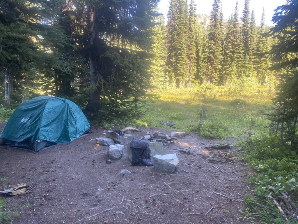
So I set up camp and spend the night here. Beautiful location and good night. Here is my campsite and a picture of the lake in the morning. Nice huh?

PCT 2385 to 2393. Tent site at Mirror Lake
PCT 2385 to 2393. Mirror Lake in the morning. WOW!!

Aug 20, 2020 PCT Mile 2638 to 2623

Not the greatest night. Perhaps the thought of rain at any moment. Perhaps because I had to turn around. Got up early and had breakfast and packed up the camp. It did not rain during the night but just as I was completing the packing up it did start to drizzle and it drizzled for about 6 hours. I covered the pack while hiking but did not feel the need to put on any rain gear. It was one of those annoying rains that is enough to get you wet over time but does not seem worthy of rain gear. Harts Pass is about 15 miles away and I’m pretty sure I will make it today. Not positive but pretty sure. Not sure enough to alert Martha and Lenora.

PCT Mile 2638 to 2623. Looks like rain

When I get back to the stream where I met Art on the way up, I paused to have something to eat and I wanted to take some pictures of the beautiful valley and the wild flowers around the stream. I remembered the view of the valley from the first crossing and wanted to get a picture of it.

Somewhere on the way back the flower below caught my eye. It seemed to be catching the rain and directing it to the middle of the cluster. The rain drop looked like a shinny bobble in the middle of the flower.

PCT Mile 2638 to 2623. Arctic Lupine gather rain drops. Look like diamonds in middle to leaf cluster
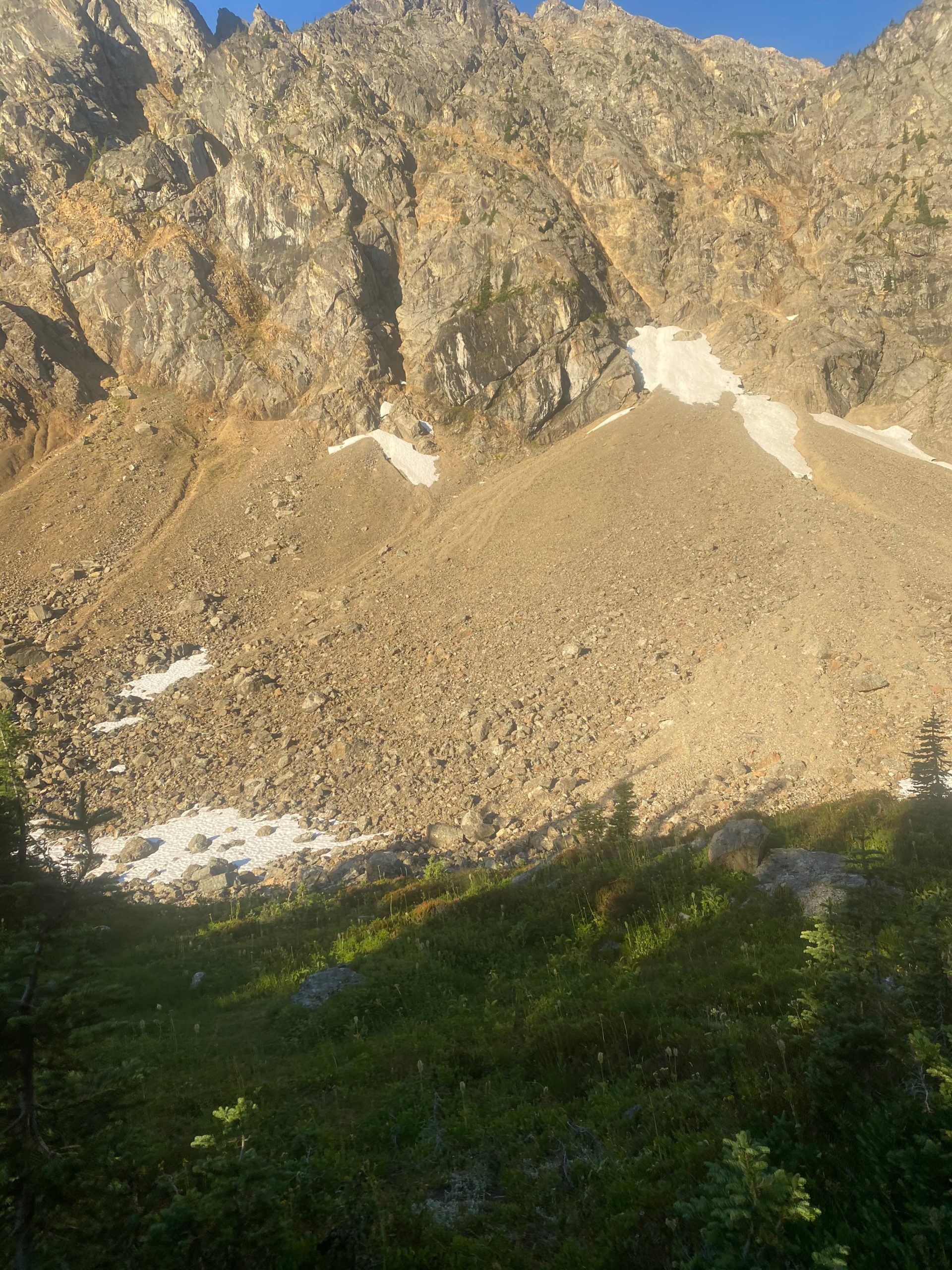
PCT Mile 2638 to 2623. A few rocks. A little snow

When I was 1.5 miles from Harts Pass and sure I would make it, I let Lenora and Martha know but also indicated I could stay the night. When I got to Harts Pass I did purchase a tent site but did not set up. Really not sure why because I knew at that time that Lenora and Martha were on their way to pick me up. It is a 3 hour drive up that wonderful winding dirt road. Actually the dirt road is the last 10 miles but takes an hour. I was just going to leave my tent space but as fate would have it, just at Lenora and Martha arrived, so did 2 young very dirty PCT through hikers. They asked me if I knew where they could get water and I told them about the stream about half mile away. Turns out I still had about 3 liters of water left and I gave them that for the night. I also told them they could have my tent space. They seemed happy. My tent space had a picnic table which for a PCT’er is basically just a nicer place to sit down :). So, God is good all the time.

I’ve done some of the south and some of the north of Washington. Next two weeks will be more the middle. From interstate 90 south to where I stopped at Trout Creek earlier in the month.
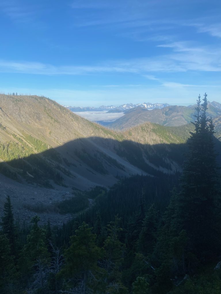
Aug 19, 2020 PCT Mile 2640 to 2646 to 2638

Another great night of sleep and without fear of water I have two Carnation Instant Breakfasts and I am ready to get to the border today. So very excited. Up early and start hiking about 5:40 or so. The sun is just coming up and I take a video of Rock Pass. As I pan to the left you may see a portion of the old trail that would have gone across the ridge over to Woody Pass. Not any longer. Heading down into the valley.

360 Video of Rock Pass

As I travel over to Woody Pass I get to a point where the old trail along the ridge meets the new trail through the valley. Not much of the trail left on either end but I can tell it would have been an much easier hike but it must have been pretty dangerous for the PCT to abandon maintaining it.

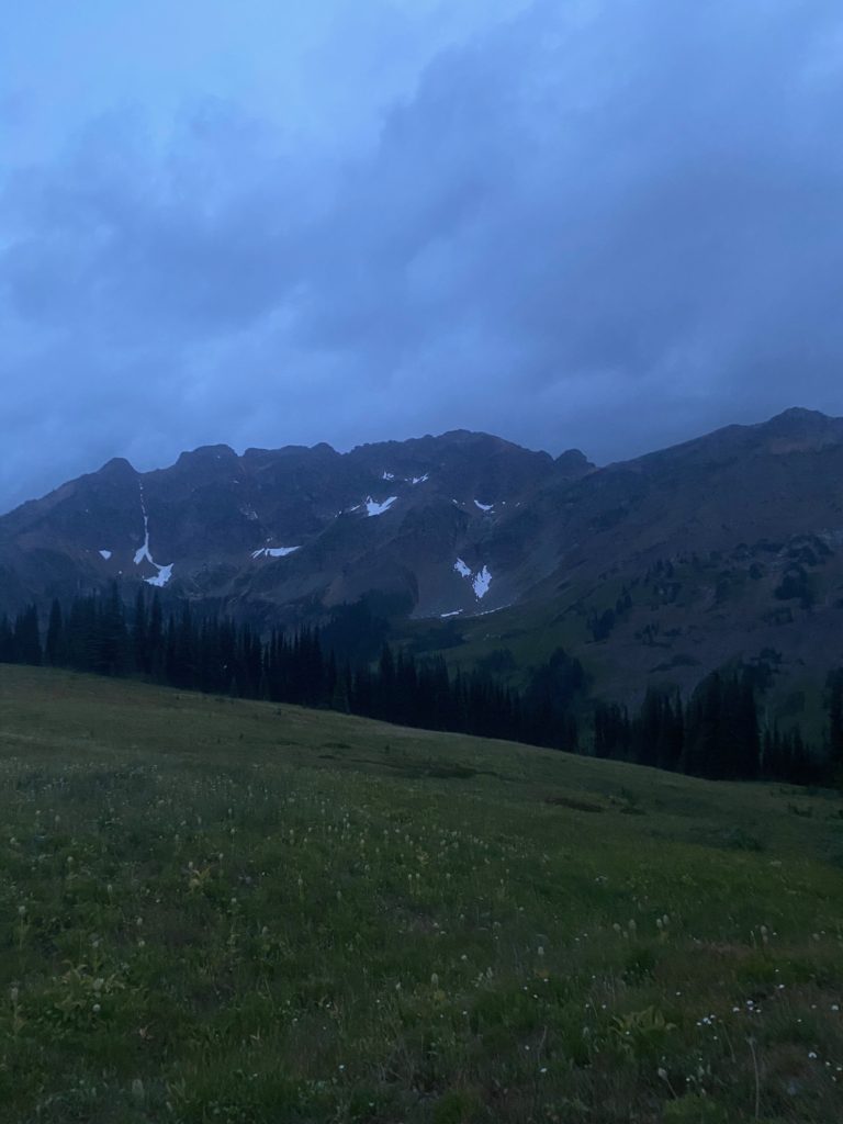
After getting to Woody Pass it is time to start the ascent to the highest point on the PCT in Washington. From there it is all downhill to Canada. I checked the forecast last night and there were predictions of rain tonight and early next morning. The image below I thought was beautiful but wondered if those were the expected rain clouds that were coming in.

PCT 2640 to 2638. Forcast calls for rain tonight. Some clouds moving in

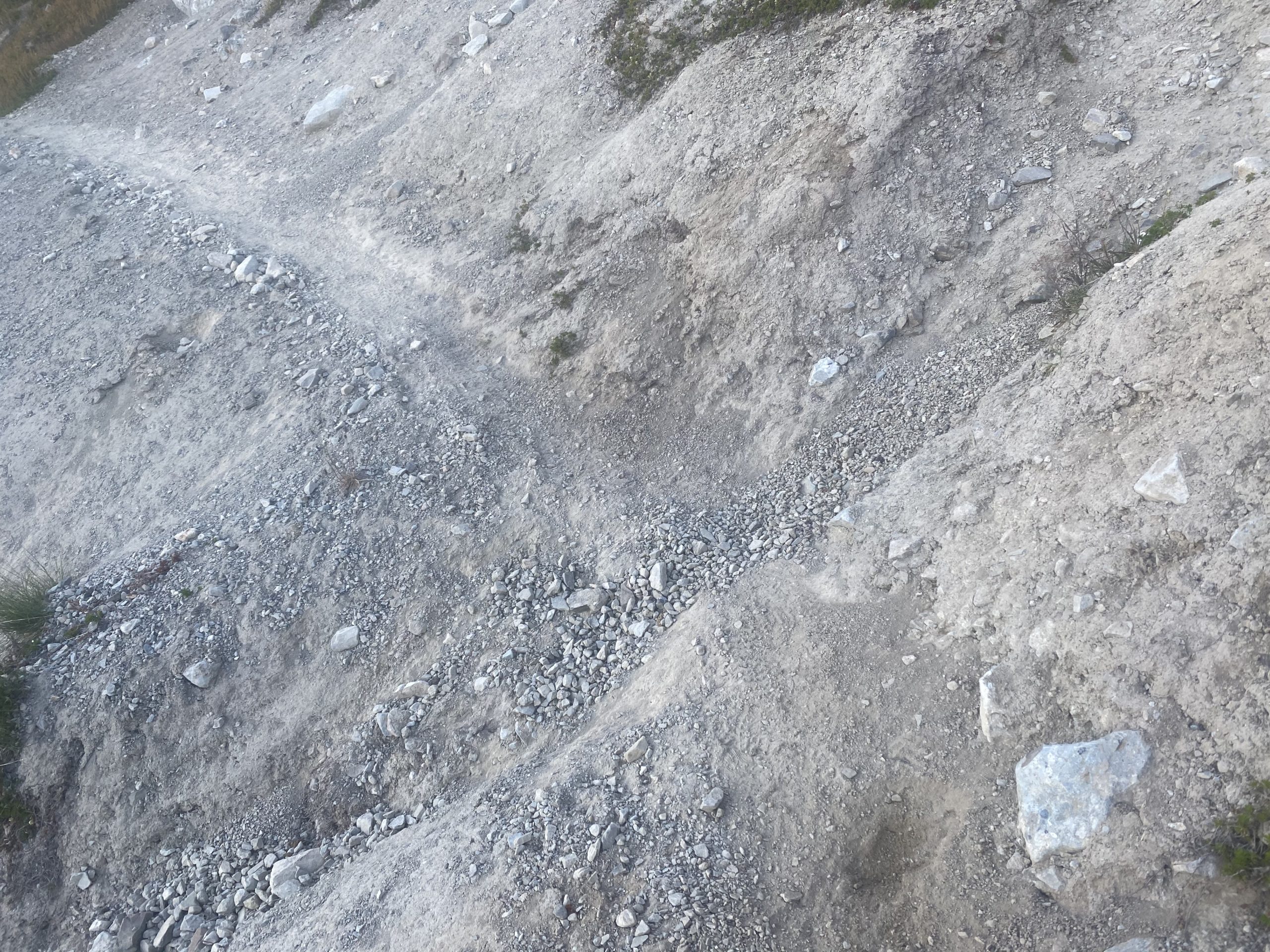
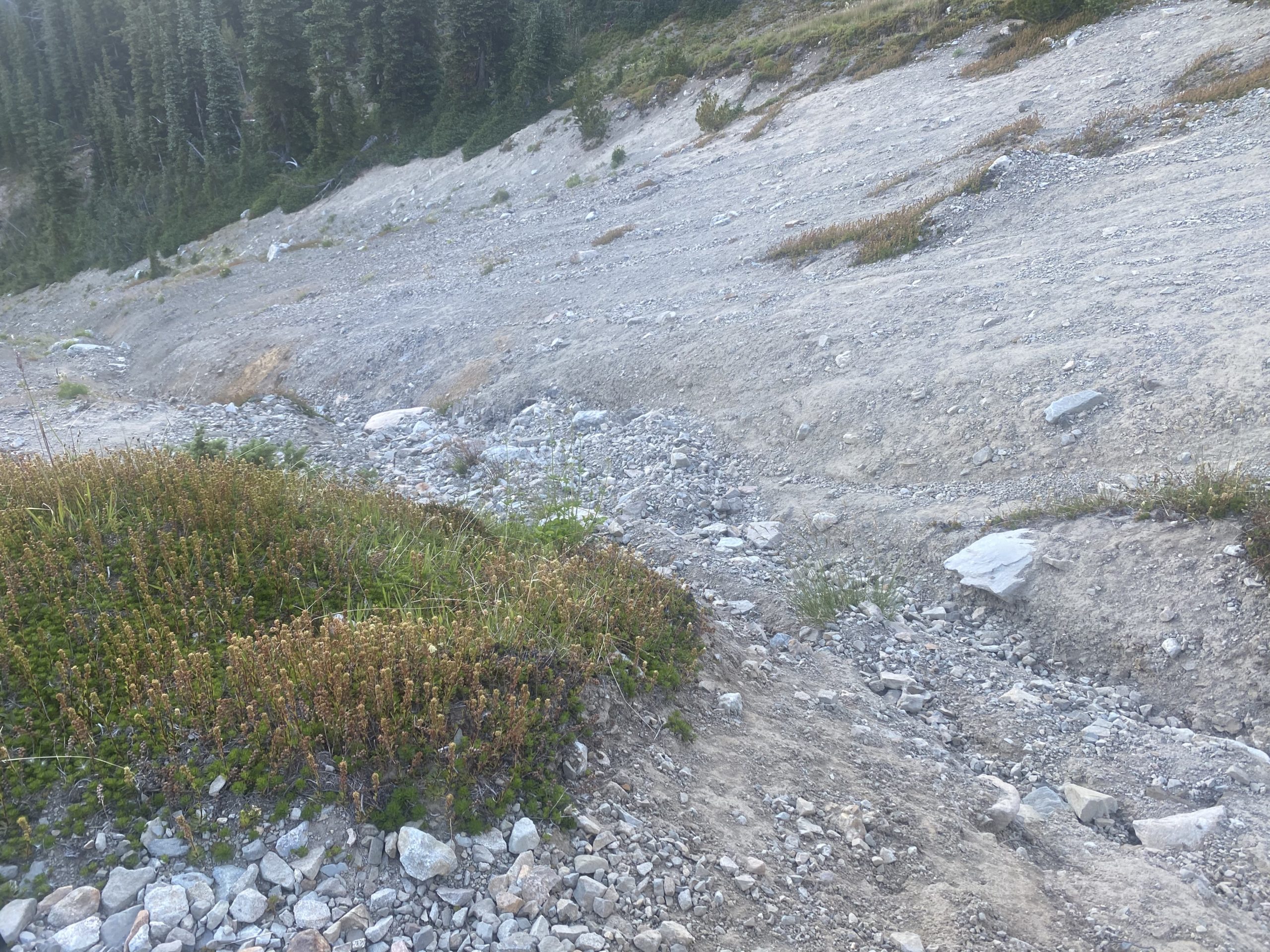
The hike is beautiful and the ascent not difficult until I run into the little trail damage shown below. I could not cross it but I could go above it. So I clambered up and over and down. Had to slide down on my rear but there was a lot of short stonecrop and so it was easy sliding.

Almost to the highest point and I have a view of the lake that does indeed seem to hold water and I also took at 360 view video.

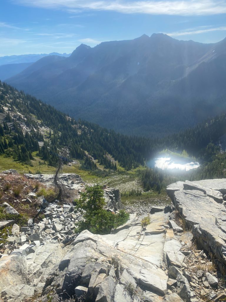
PCT 2640 to 2638. Looking at Hopkins Lake from almost high point on PCT in Washington.
PCT 2640 to 2638. 360 video from high point on PCT in Washington

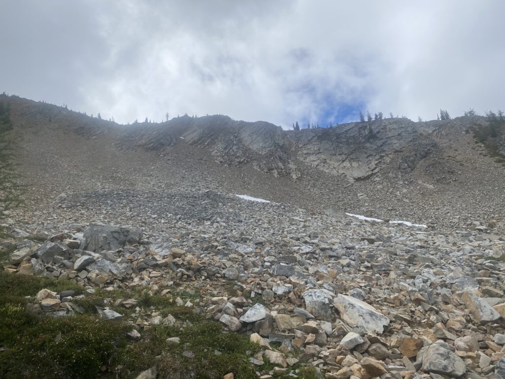
So I have hit the high point. It is only 9:30 and about 8 miles to go to ready the Canadian border. I’m feeling good about getting down and getting back. Only a 7% grade for a little over 7 miles. Feeling pretty good but after about .2 miles I run into a part of the trail that I can not traverse and I see no way around it. I took a few steps into the damaged area and could feel myself slipping. I was actually shaking as I tried to turn on the ledge that was less than 12 inched wide. I made the turn and went back to the wider area and wondered if it was worth it to try. I promised Lenora that I would not die on the PCT and I really was not sure I could keep that promise if I tried to cross this section. I knew that 100’s perhaps 1000’s had successfully crossed this area!! I looked down and could not see any bodies at the bottom (yes I really did). I really had no choice. 7 miles from the ultimate destination and I had to turn back. As I write this, I don’t regret doing so. It was the right thing to do.

PCT 2640 to 2638. I am destroyed.

I turn around and here are some images on the way back to Woody Pass, to Rock Pass, and then to my camp site 2 miles south of Rock Pass.

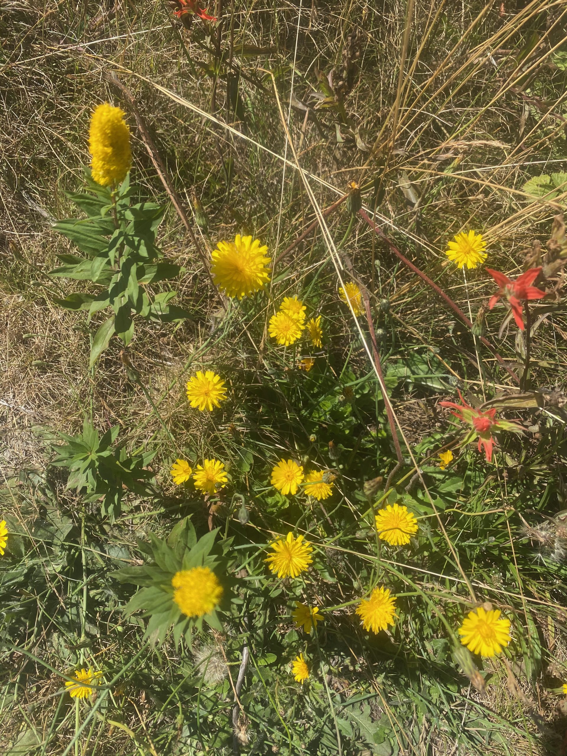
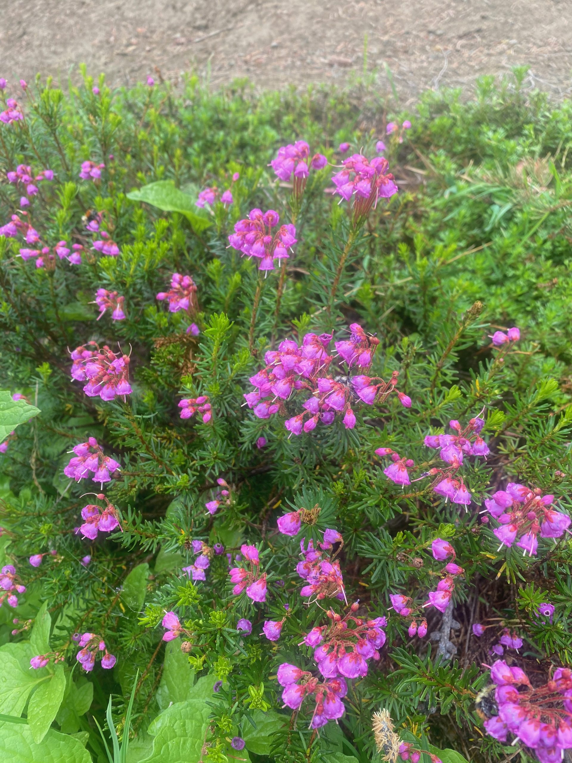
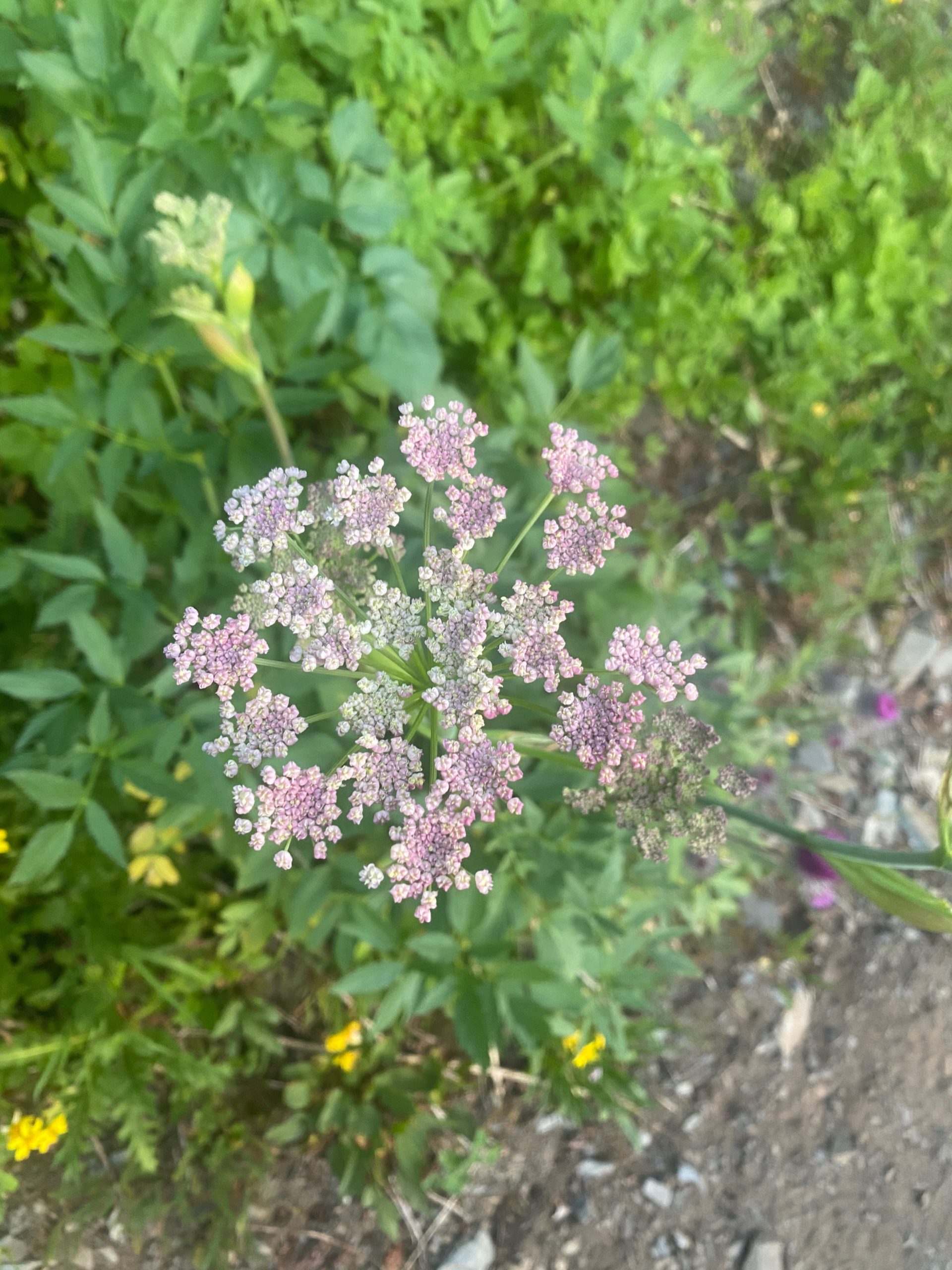
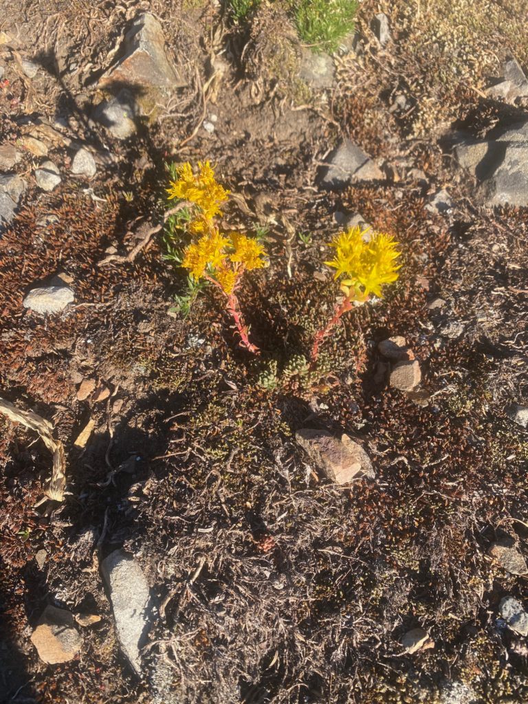
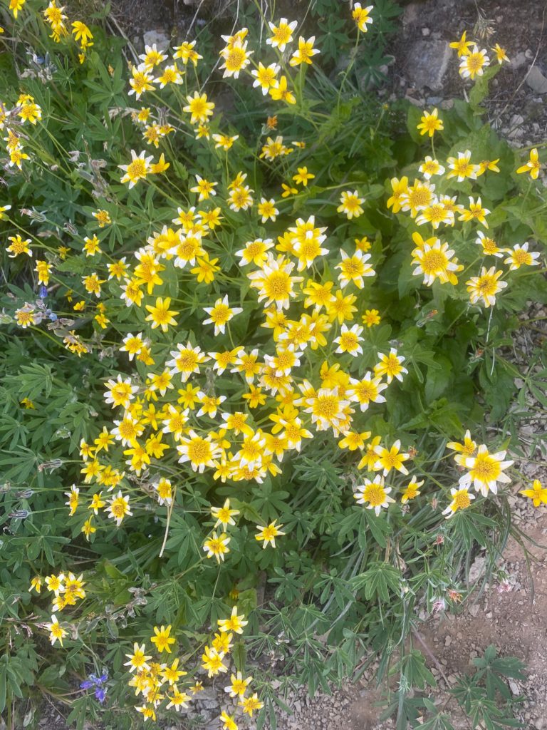
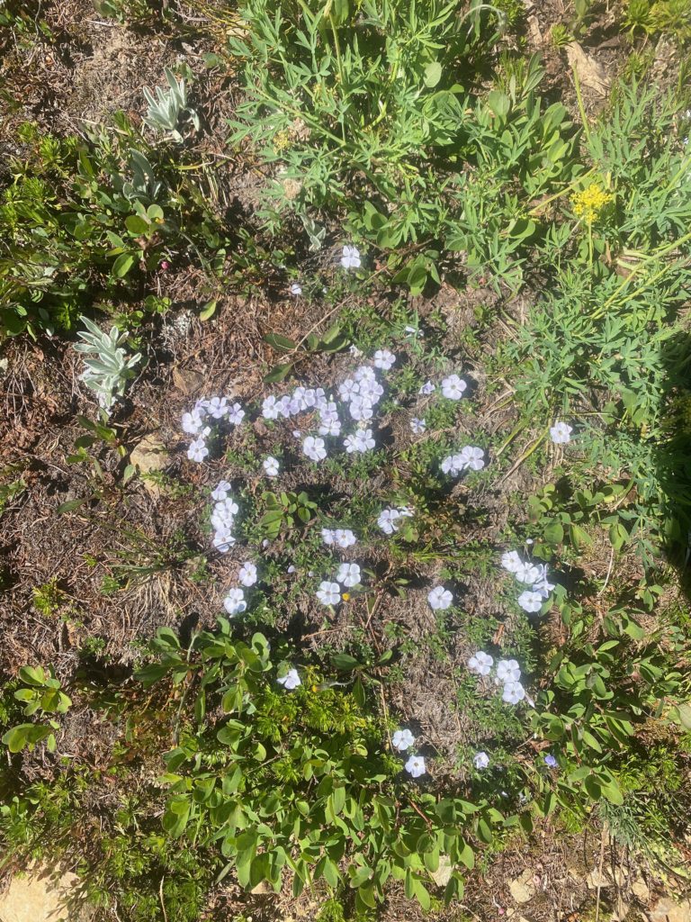
And some wildflowers seen today

Aug 18, 2020 PCT Mile 2630 to 2640

I had a really good night of sleep. If you read my posts you know that I have had a hard time eating on the trail. The first year (1700 miles) I did not have any issues but ever since then I just get nauseous at the thought of food. With Martha and Lenoras help we tried to solve that by switching up what I carry to eat. I was carrying freeze dried food that needed to be cooked. We switched that up to various pre packed tuna creations. Also added a lot of condiments like the packages you have in fast food locations. I only wish there were a Chick-Fil-A here because they have the best sauces. Then some flour tortillas to hold it all together. I also went back to using Carnation Instant Breakfast to get me going in the morning. The instant breakfast is great because it makes me hydrate before I start and really gives me a boost in the morning. Then there is some trail mix with various nuts, M&M’s, dried fruit, and yogurt chips. It is early but so far this really seems to be working.

I start off the day thinking I am really going to have a productive day. At least 15 miles in my plan. It is a nice crisp morning but not cold. I get started at about 6:15. After about 30 minutes of walking I take the 360 video below.

About a hour later this picture of trail and mountains

PCT 2630 to 2640. Just pretty trail and mountains

I go past Foggy Pass without even realizing I was there and hike for awhile till I get to a nice stream where I load up on water. There have been tails that water is going to get scarce the further north I get. At the stream I meet Art who is a local who just likes to hike around the Pasayten Wilderness. I entered the Pasayten Wilderness yesterday after about 6 miles. We talk for awhile and he mentions he expects to be out for about 5 days and is hiking to some peaks in the wilderness. Art and I chat for awhile and he is really concerned about water as well. He loads up and heads out and I hang around the water for awhile and have a snack. Not long after the stream I enter the area that was burned during 2018. I have a video below. It is not a big area and I’m surprised that it caused such a big detour of the PCT. The detour was 21 miles start way back near Harts Pass and going all the way to Woody Pass. Art would tell me later that not only was the PCT closed but the entire Pasayten Wilderness was shut down during the fire.

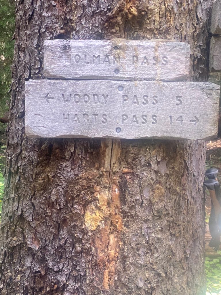
At about 10:30 I get to Holmon Pass and Art is there as well. I sit down to have a meal and Art is eating as well. This is when he tells me about the closure and other interesting facts. Like that the town of Omak has the only stop lights in all of Okanogan county. Brought up because I indicated I needed to get new hiking boots and he told me Omak was the place to do that. A couple PCT hikers came through at this point. Returning from the border and they told us that in 1.6 miles there was a stream and there was no water past that. I just took what they said at face value and did not check out its validity until later. From Holman pass there is a 3 mile, 1500 foot ascent to Rock Pass and then another couple miles to Woody Pass.

PCT 2630 to 2640. Woody Pass is probably my destination

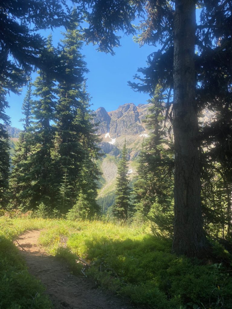
I start the ascent and get to the stream at the 1.6 mile mark and make sure I have filled with water internally and loaded up with water in my 2 2-liter containers. Here are a couple pictures on the way up to Rock Pass.

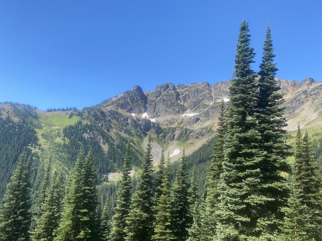
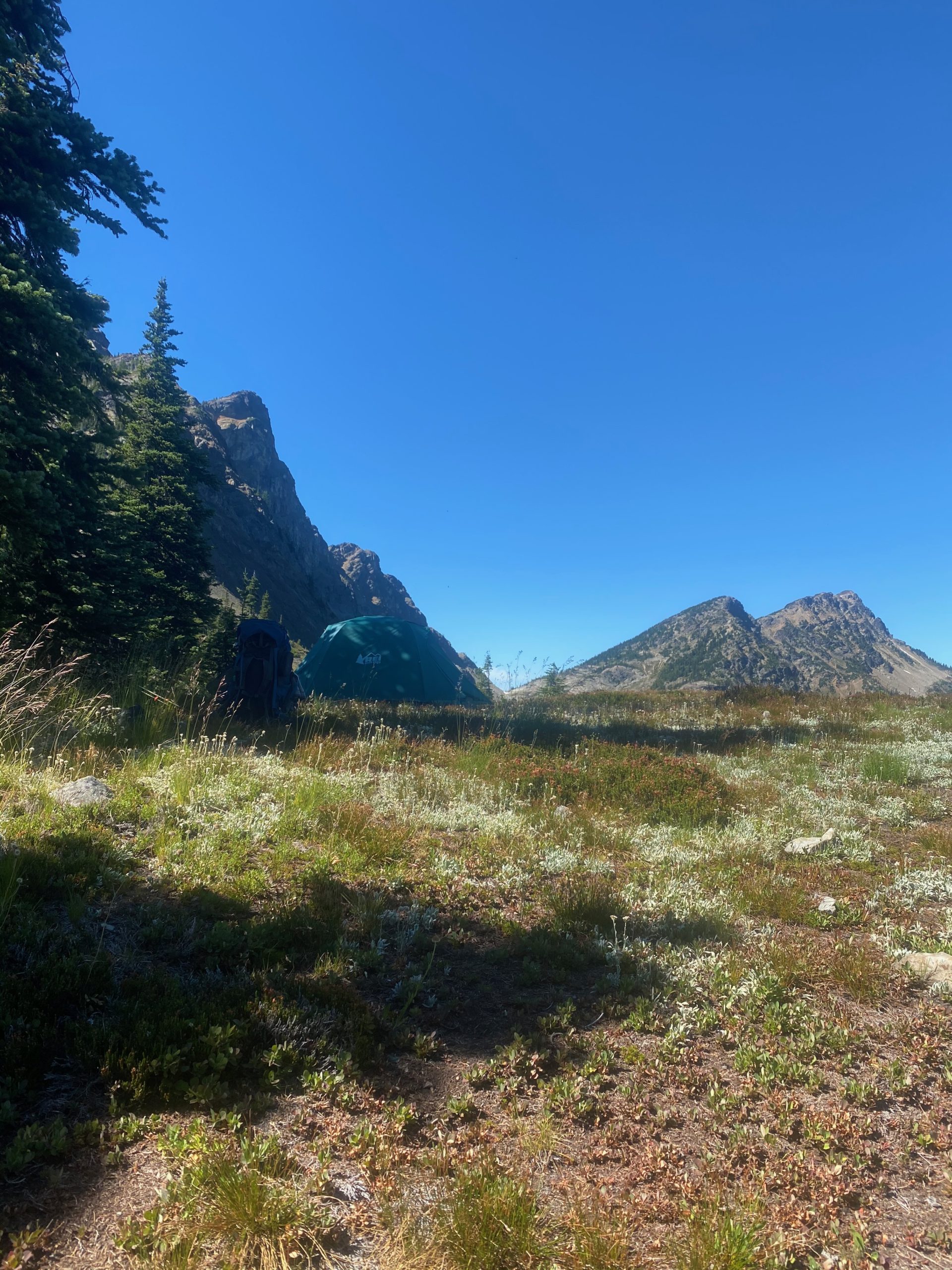
When I get to Rock Pass and can see the path to Woody Pass I decide to set up camp on Rock Pass. Woody Pass is only 2 miles away but involves a descent into the valley and then ascending back up to Woody Pass. Turns out it did not always involve a descent and ascent as the old trail just was a ledge across the rocks from one pass to the other. Apparently it got impossible to maintain the trail on the rocks and so the trail was rerouted down and back up. It is early in the afternoon but the thought of water worries me. After setting up camp, I decide to take a good look at Guthook and see what it has to say. It is obvious that I either misunderstood the hikers or ….. or ….. well I don’t know. I must have misunderstood because there is water up ahead including a full lake full of it :). There is also a sure water spot just before the Canadian border. That takes a load off my mind. Here are some views from Harts Pass. I have a lot of time at Harts Pass and I just hang out and admire the views and eat. The new food plan is definitely working. I’m feeling great and have plenty of energy.

Aug 17, 2020 PCT Mile 2623 to 2630

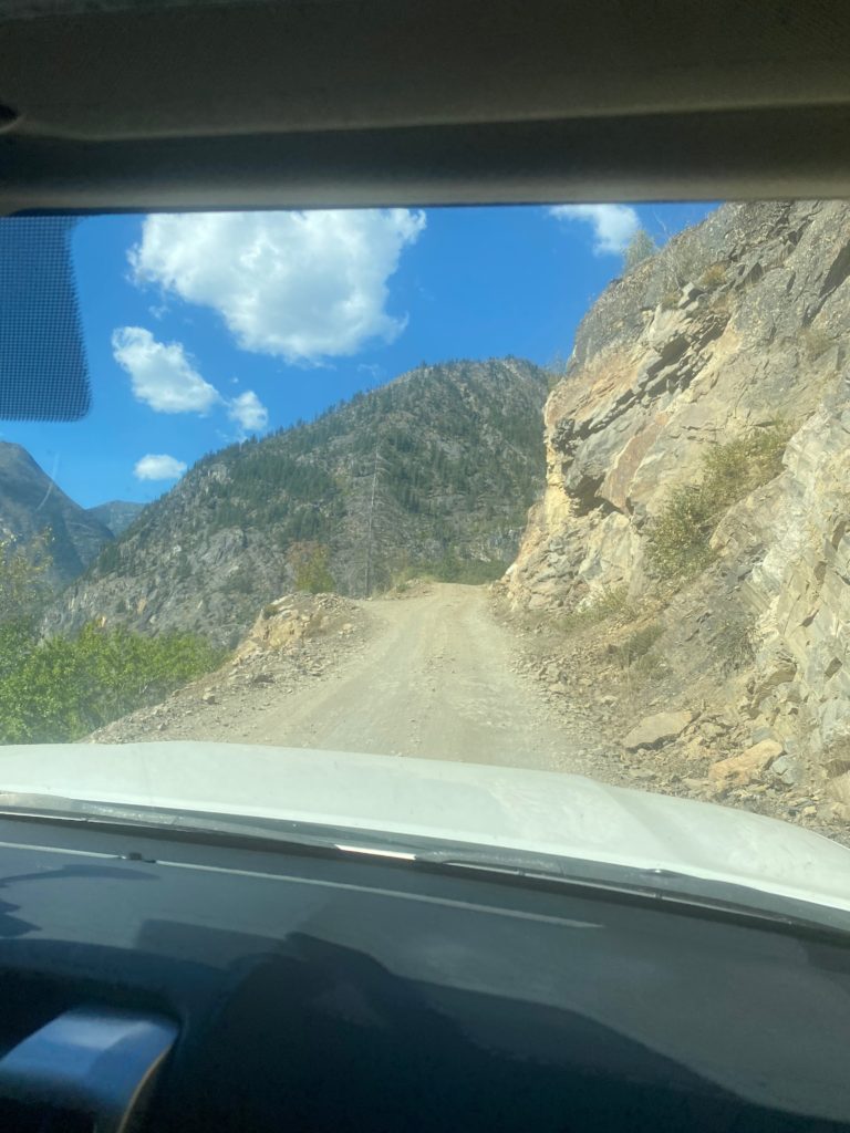
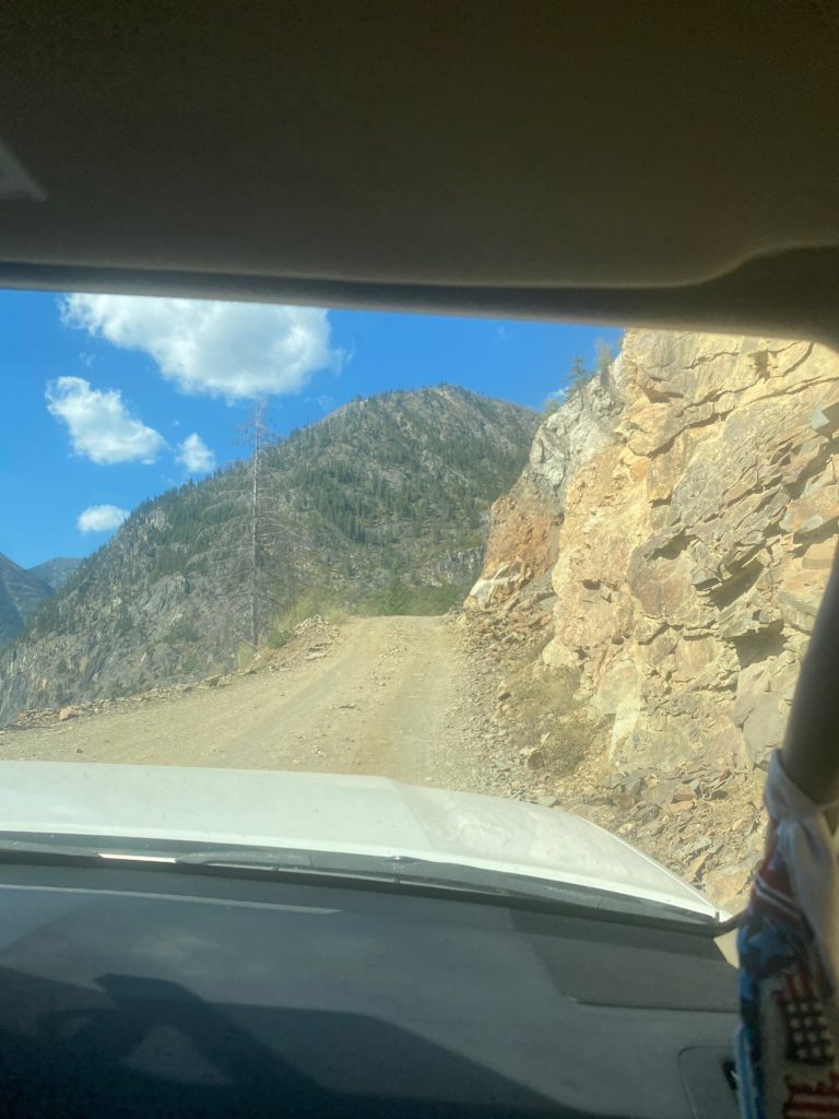
Time to get back on the trail and hopefully to the Canadian Border. The road up to Harts Pass is a 10 mile winding road that is very rough at times. For a half mile on the road it is only wide enough for one car with rocks on one side, shear drop-off on the other. The car coming down has to yield the right away. During the half mile there are probably 3 points where a car can pull over to the far right (coming down) and the car going up can get past. Stress filled 10 miles and particularly the narrow half mile.

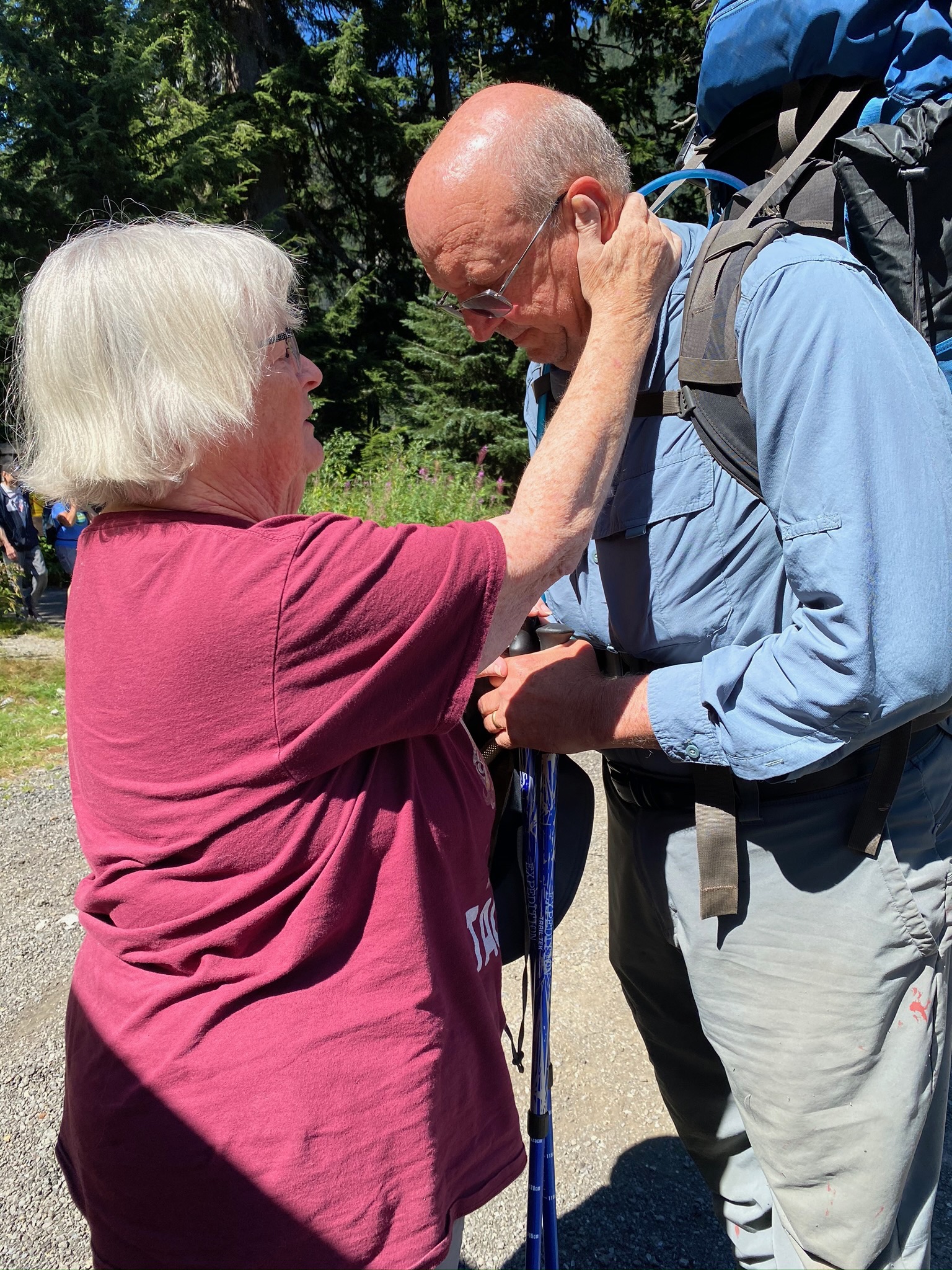
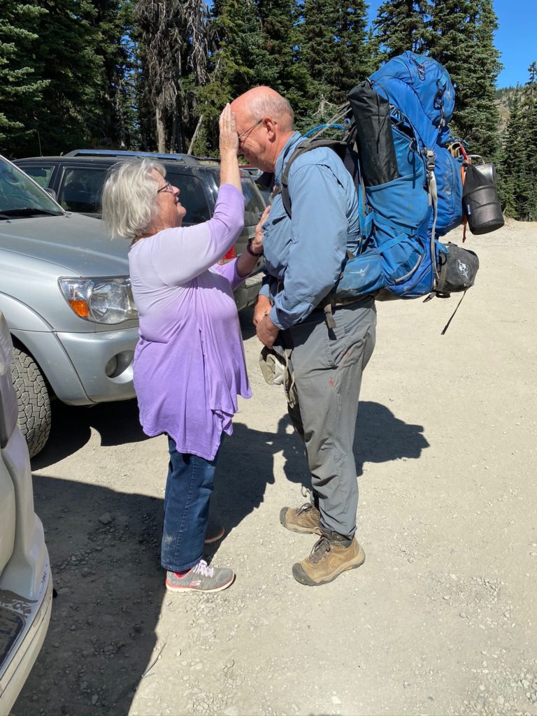
We reach Harts Pass around 11:30 and I get ready to go. Each time before I go on the trail, Lenora gives me a blessing. It is a very special time always makes me emotional but gives me confidence that I will be safe and make good decisions.

About .4 miles from Harts Pass there is both a beautiful little campsite and the stream that has a good flow. I don’t need either but it is a good way to start the hike. It is a beautiful day for hiking. Temperature is about 84 with a nice breeze. About a mile into the trail I get to a point where there is an option to continue to follow the PCT or to use the fire detour that was created for the 2018 file (one of the fires that took me off the trail that year). I have comments on Guthook (trail application I use) that indicate there is no need in 2020 to use the detour and in fact the detour trail has not been maintained. So I continue on the normal PCT Trail.

Harts Pass is a very popular spot and there are lots of local people out for a hike and some of them are setting up camping sites. Probably busy even without the fact that COVID has a lot of people not working and therefore recreating. The trail thus far has been nice.

PCT 2623 to 2630. Nice trail here. Level and solid dirt under foot

At about 1:10 I get to Windy Pass. Not particularly windy at the moment but there was a good breeze along the way.

PCT 2623 to 2630. Windy Pass

Too early to stop and I’m eyeing a camping site about 3 miles ahead. I cross a couple creeks before I get there and usually stop to take a drink with the Lifestraw. The Lifestraw is terrific as it allows me to just take a drink of water directly from the stream. That way I can save my bulk filtered water for camping needs.

PCT 2623 to 2630. Looking back from a creek when I stopped to rest

I stop around 5 pm and have done about 7 miles. Pretty easy day. The camp site is a little off the trail and I went past it just a bit before I realized I had past it up. Only had to backtrack less than a tenth of a mile to get to it. Nice level campsite with a stream running right past it.

Aug 12, 2020 PCT Mile 2610 to 2623

If you look at the video of my campsite from yesterday you can see that my tent was protected from wind. Perhaps that is why the evening did not seem as cold and I only slept in my normal sleeping clothes rather than 2 layers. However in the morning when I got up I could tell it was actually colder. I got up earlier than I have been because I have a lot of climbing to do and I wanted to do it during the cool part of the day. As it turns out most of the day was pretty cool. I got started about 5:30 in the morning and I have about a 2700 foot ascent to make over about 5 miles. I go up to Glacier Pass and continue up to Grasshopper Pass. I have normal hiking clothes on with the Patagonia jacket and the waterproof gloves. I’m comfortable. By the time I get halfway (which is Glacier Pass) I figure I will rest and perhaps have a snack. However 5 minutes after taking off the gloves, my fingers and particularly my thumbs are hurting from the cold. I cut things short and get the gloves back on and start hiking again to get the blood pumping. After about 30 minutes my hands stop hurting and everything is back to normal. I reach the top about 10:30. So 5 miles in 6 hours. Don’t think I’m getting much faster BUT I did stop a bit just to admire the view rather than to catch my breath (although there was plenty of that as well).

The trail just past Brush Creek was pretty overgrown and sometimes with very tall plants. If it had rained one would be drenched from head to foot just from rubbing against all the plants overgrown on the trail. Pretty though huh?

PCT 2610 to 2623 There is a trail under all that

Have to cross a couple rock fields on the way up. Still this is a nice level path with small rather settled rocks to step on.

PCT 2610 to 2623 Walking among the rocks
PCT 2610 to 2623 Nice forest trail

The video below was taken about 9am. I am past Glacier Pass and perhaps a little better than halfway up to Grasshopper Pass. I just wanted to capture the view.

PCT 2610 to 2623 Just a look around

Pretty close to the top at this point and was sitting on the trail to capture some breath and rest my back and just staring at the mountain across the valley. This part of the mountain has been in the sun all morning and I’m just starting to get some sun on my part. I figured there would be some melting going on over there but it is not obvious there is any water coming off that snow. You can see where the melt has probably run before but I can’t see anything with the naked eye that is happening now.

PCT 2610 to 2623 Majestic

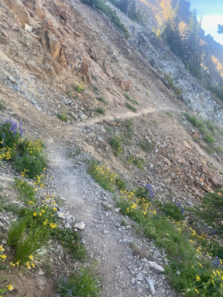
This picture below is taken after I reach the top and you see how the trail runs along the side of the mountain up here. When I get over there the trail is as narrow as it gets and slants from left to right and is loose sand and pebbles. I did not have fun walking across that section and many more like it.

PCT 2610 to 2623 A look at the trail ahead.

A little bit past Grasshopper Pass I met an “old guy” (77 haha). I did not get his name so he is just the old guy. He likes to hike the PCT but only the Washington PCT. Said he was not interested in doing Oregon or California. We talked about the aches and pains of hiking at this age. He said this was probably his last hike because it upsets his wife when he goes out. They use to hike together but she got arthritis and had to give it up. So now when he goes out, she cries. Very sad actually. He suggested my eating problems might because of elevation but I don’t think so. I don’t remember having any elevation problems through the Sierra’s at almost twice the elevation. We had a nice talk from about 20 feet away and he wore a mask. I keep mentioning the masks because I just do not understand!!

I mainly took the photo below because if you look real close and perhaps expand the picture you can see a crescent moon just to the right of the highest peak.

PCT 2610 to 2623 Just a look at the mountains on the other side

The trail from Grasshopper Pass to Harts Pass is relatively easy. Go up to slightly above 7000 feet at one point but then descend to Harts Pass. I was going to get resupplied at this point but rather I am going off the trail again. About 30 minutes before getting to Harts Pass I had back spasms and had to stop and take of the pack and try to stretch it out. I also neglected to cut my toes nails before starting this hike and my little toe is attacking its neighbor and has gashed it up pretty good. It’s always something 🙂

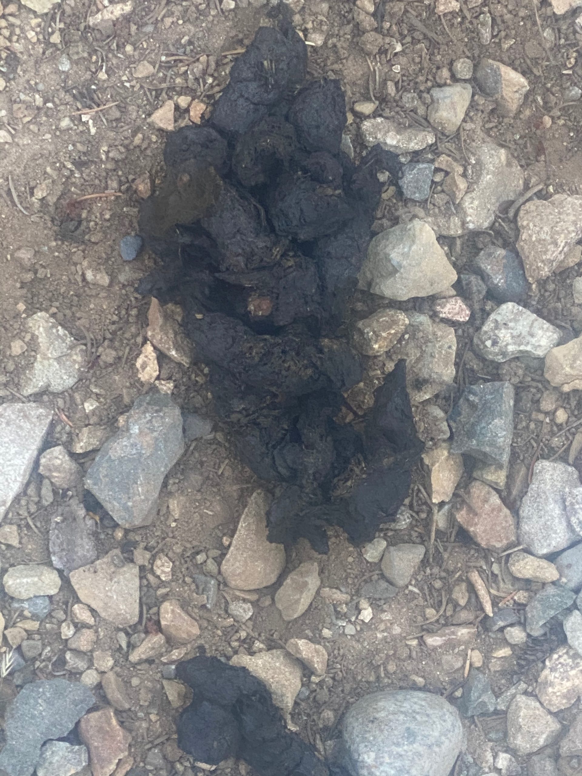
There have not been any large animals spotted while on the trail. Yesterday just before Brush Creek there was bear scat and a bear track (single) on the trail. So, they are about. Off the trail we have seen many deer, 1 bear, and mountain goats.

I’ll be back to do the 30 miles to the border and the 30 miles back to Harts Pass. The way I am hiking that will take 6 to 8 days. After that it will be back to Rainy Pass and head south.

Aug 11, 2020 PCT Mile 2601 to 2610

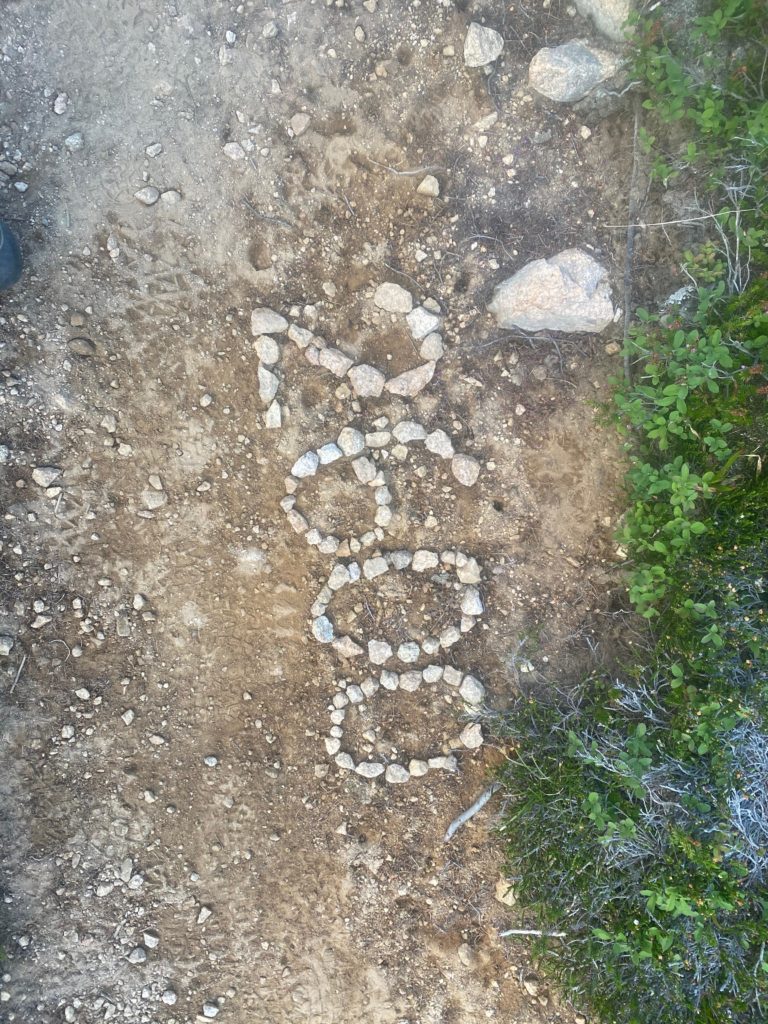
It was a cold night. I wore two layers of clothing but was not uncomfortable in the sleeping bag and tent. Just really really really did not want to get out of the sleeping bag in the morning. I did manage to get started by about 6:40am. I get back on the trail and immediately see the 2600 mile marker someone made as shown in the picture below. Not exactly 2600 miles this year but really close enough an it was fun to see. The exact mileage of things changes each year because of changes in the trail. That piece of work looks pretty recent to me however.

The morning is cold and I remain in two layers of shirts and the miracle Patagonia jacket and gloves to start the hike. By the time I reach Methow Pass about 8am I am warm enough to remove all extra layers.

PCT 2601 to 2610 Start the day and see this. Nice someone would take the time

About 40 minutes into the day I decide to take a little video of my surroundings. Beautiful. I was told by one of the locals that this area is pretty but the area north of Harts Pass to the border is even more stunning. The boulders in the picture below are just before getting to Methow Pass.

PCT 2601 to 2610 Just a look around
PCT 2601 to 2610 Impressive boulders by trail
PCT 2601 to 2610 Just pretty

From Methow Pass it is a steep descent to Golden Creek and the Methow River. This descent was very hard on my back but at least my hip seems to be able to handle it now. However, I will stopping pretty soon as the back gets more and more tender. It will be an early day. I did stop at Golden Creek and ate some macaroni and cheese. It went down pretty good and I was happy about that. Speaking of Methow, the name of the river and the pass comes from the Methow Native Americans. For more info see: https://en.wikipedia.org/wiki/Methow_River

PCT 2601 to 2610 Methow River

So I ended up stopping at Brush Creek at about 2pm. Very early but my back is sore and the next possible site is too far away and from Brush Creek there is a steep ascent to Grasshopper Pass.

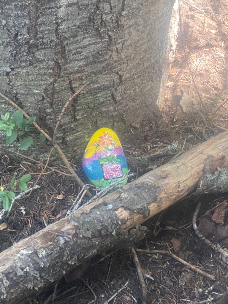
When we ate at the Pastime Brewery in Oroville the waiter gave me a painted rock and asked me to place it somewhere on the PCT for someone to find. Decided to plant the rock here at the Brush Creek campsite.

PCT 2601 to 2610 Placing the painted rock got from Brewery in Oroville

The video below shows my campsite and surrounding area. While I was making the video another hiker arrived and waited for me to complete. She is actually in the video. She would not proceed until I got off the bridge. So I backed off the bridge and got off the trail a bit and then she put on her mask and crossed the bridge and went past me. I had another meal here of oatmeal and fruit. 2 meals in one day is a record. I knew I would need fuel for the next day because after Brush Creek a rather long and steep ascent looms.

PCT 2601 to 2610 My camp site. Notice cameo by unknown lady hiker
  • Miles: 9
  • Steps: 21334
  • PCT Mile: 2610
  • Elevation: 4307
  • Location: https://w3w.co/vindicated.pulp.serving

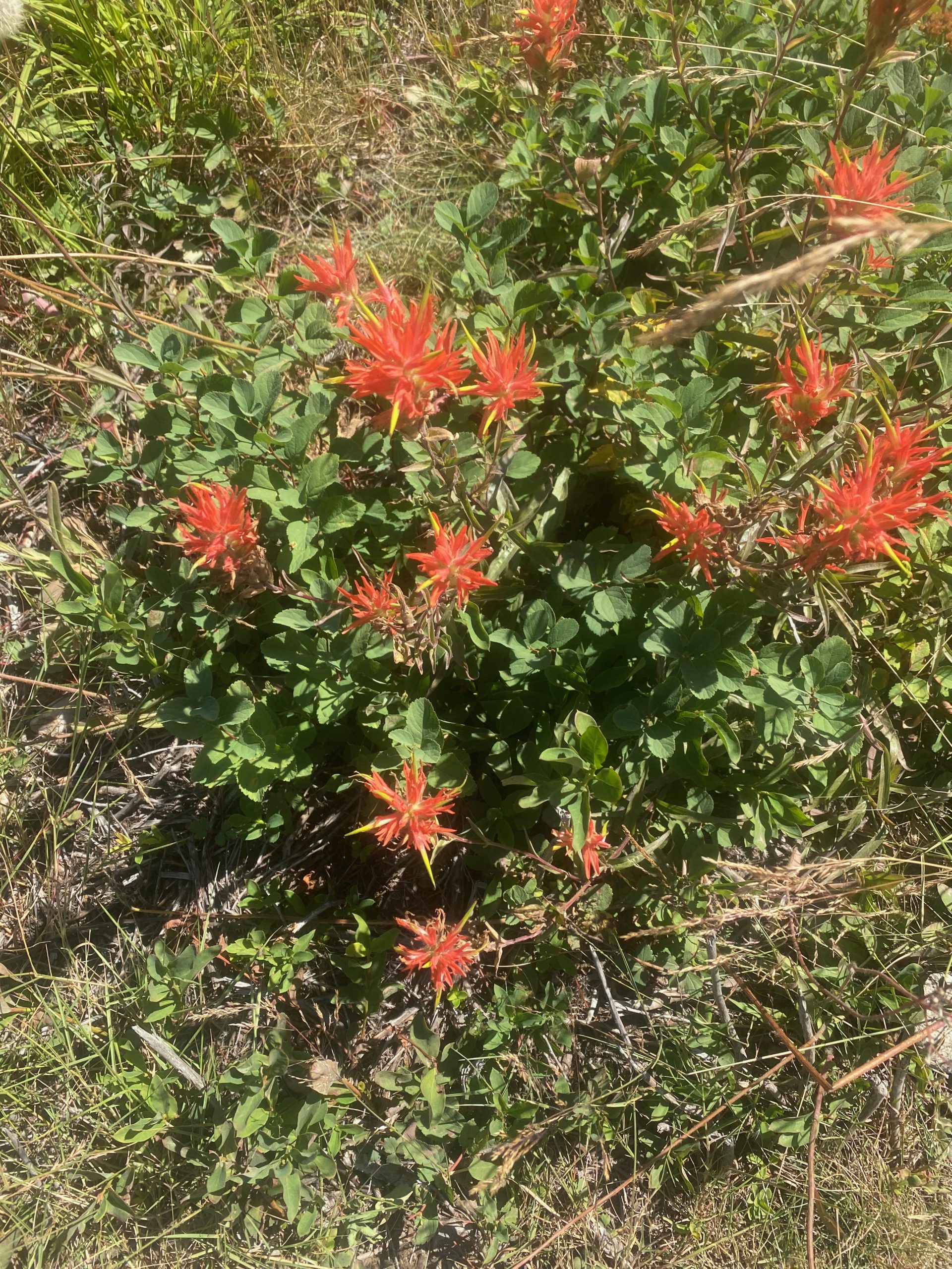
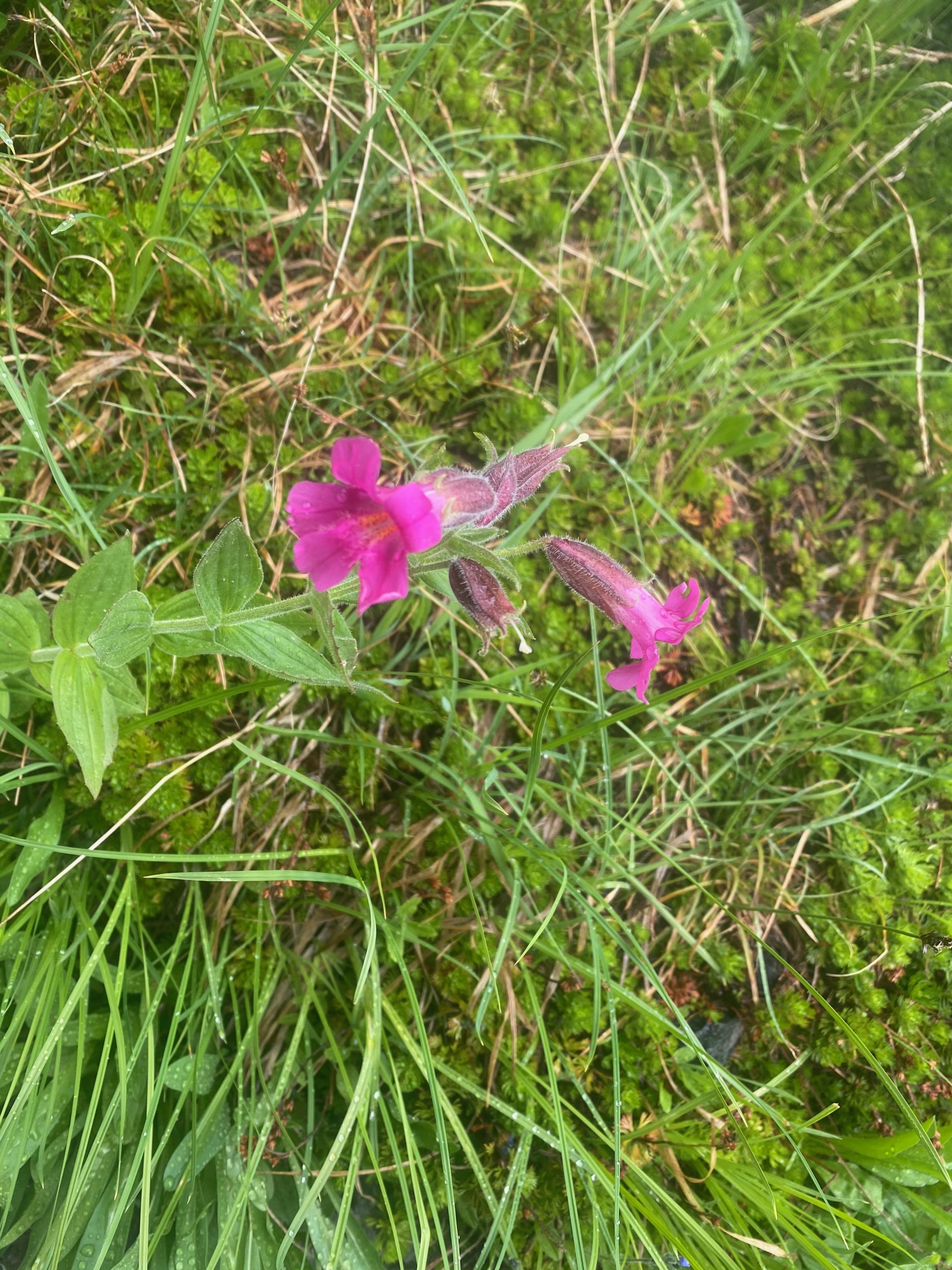
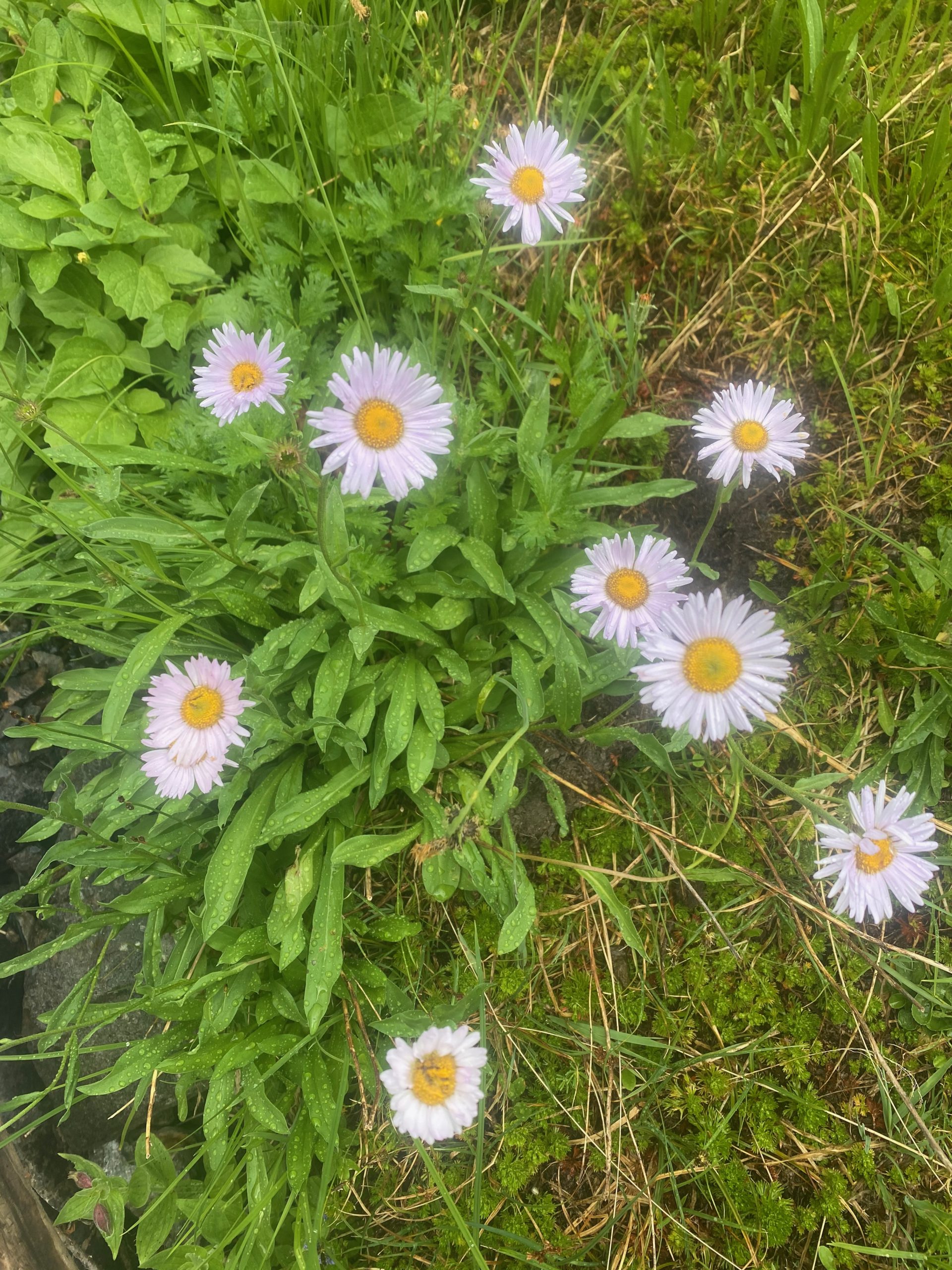
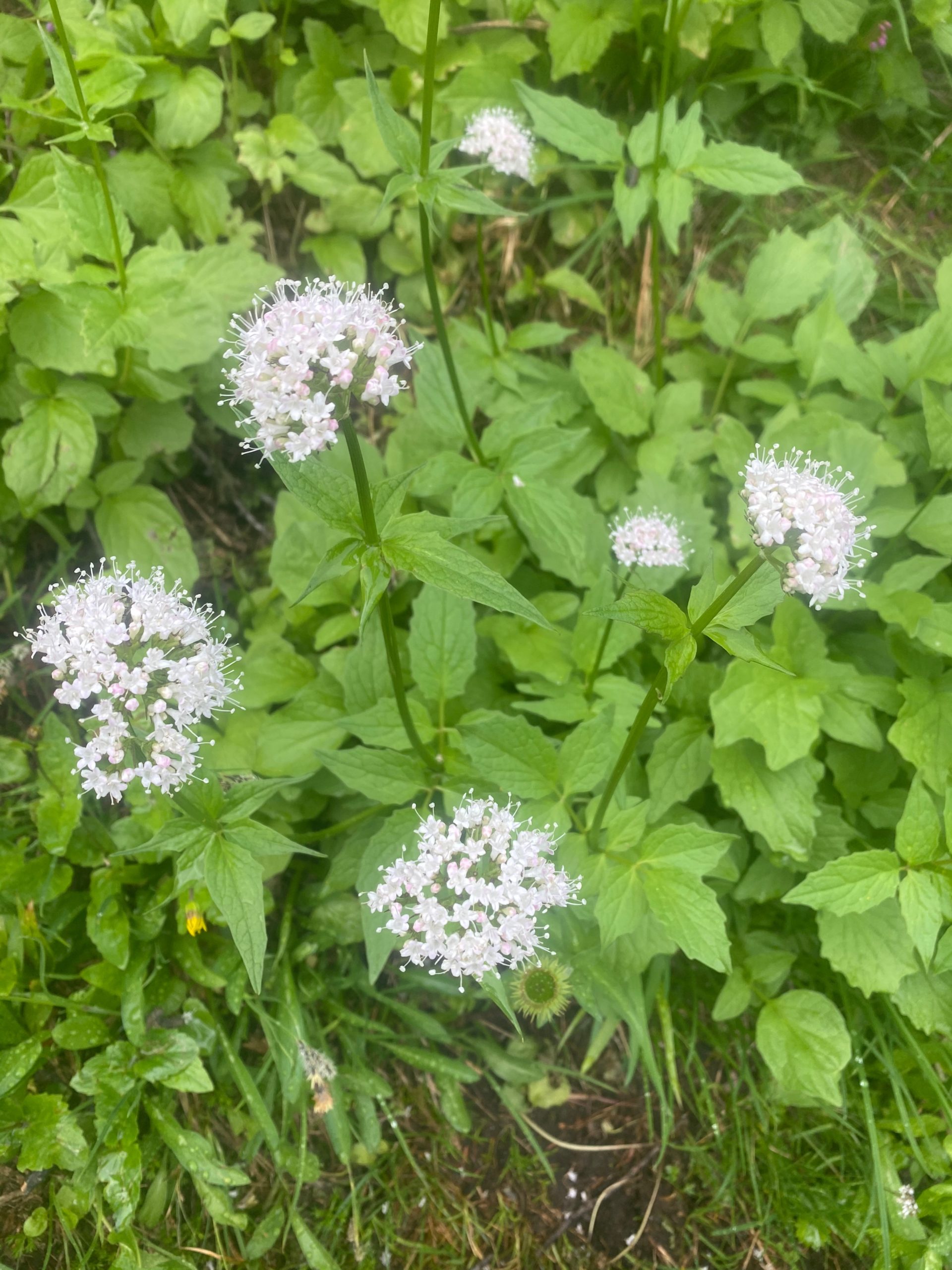
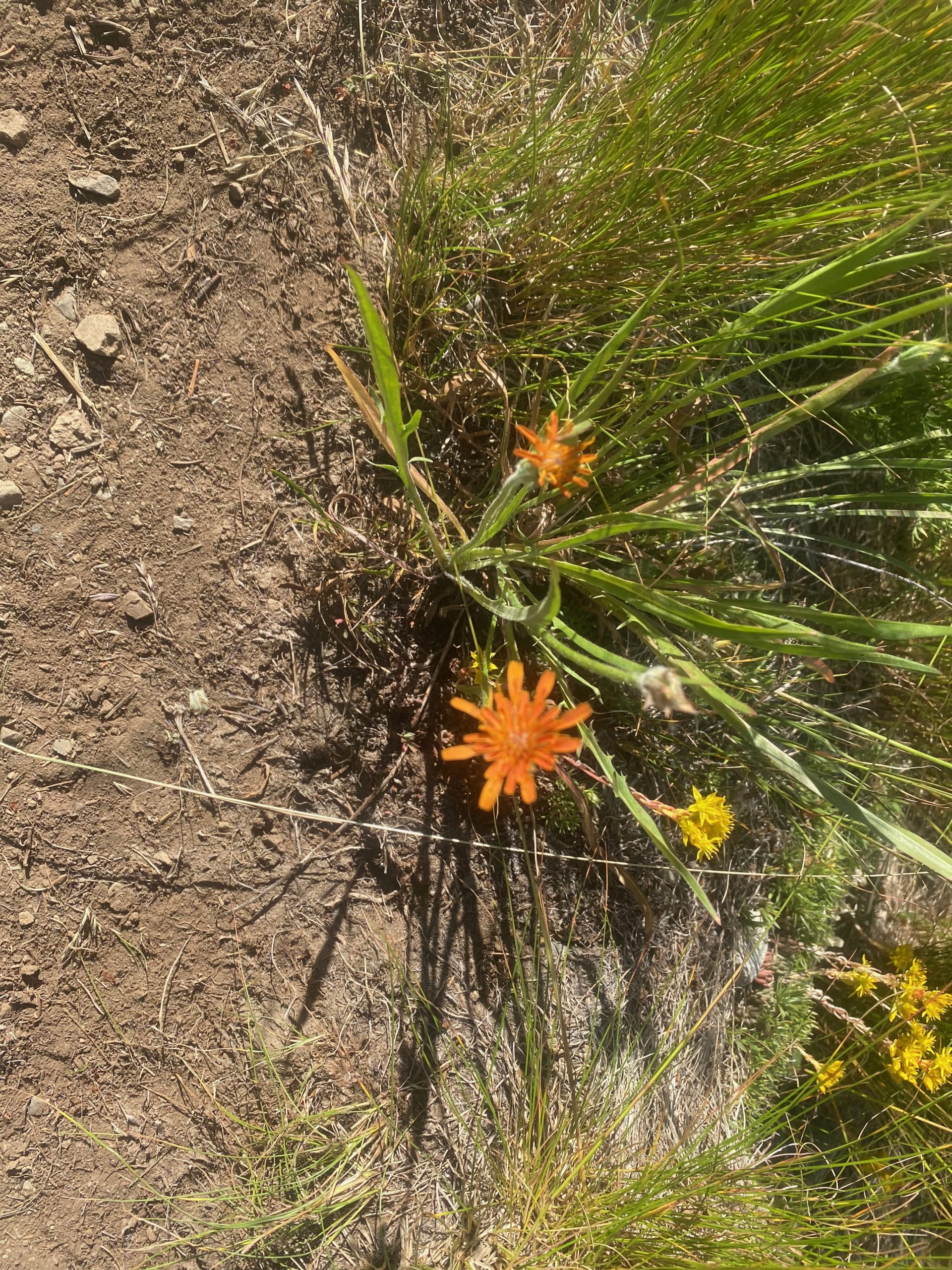
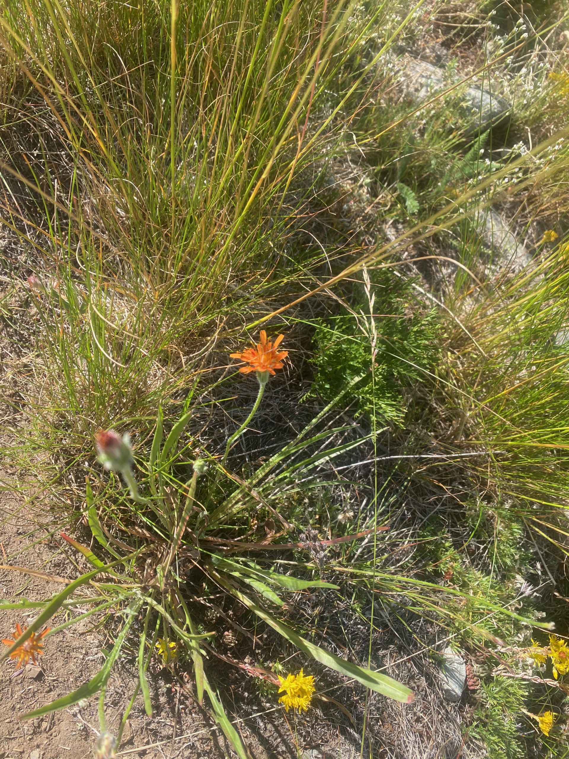
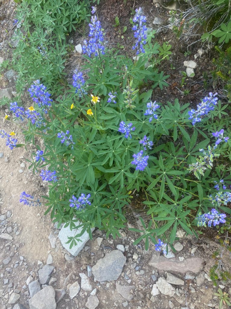
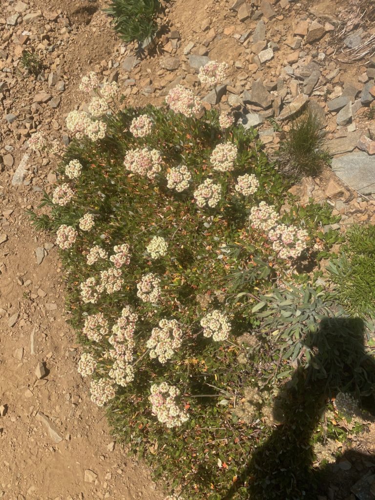
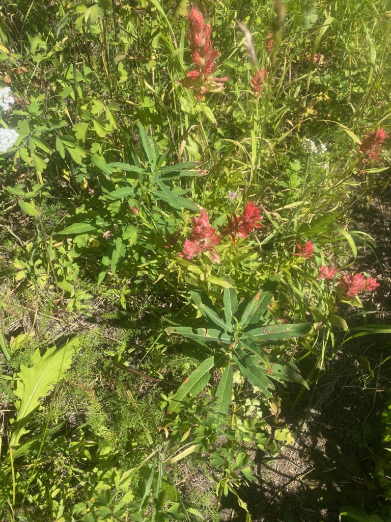
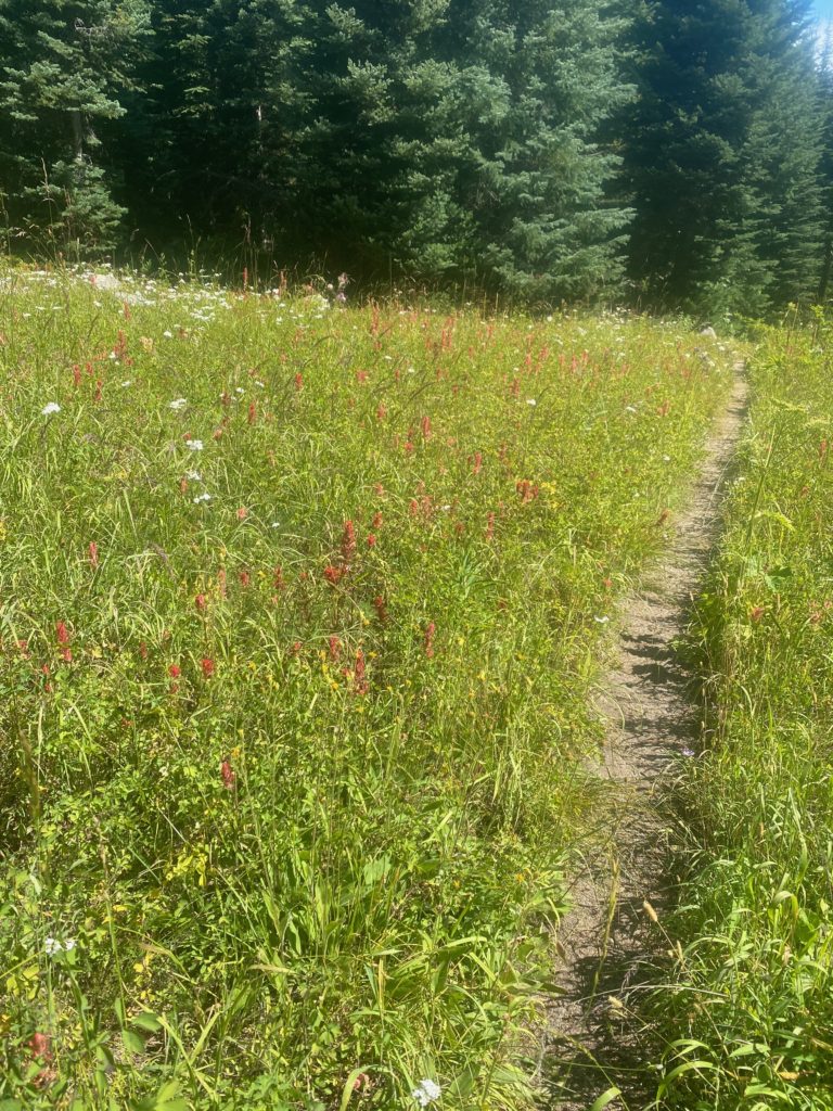
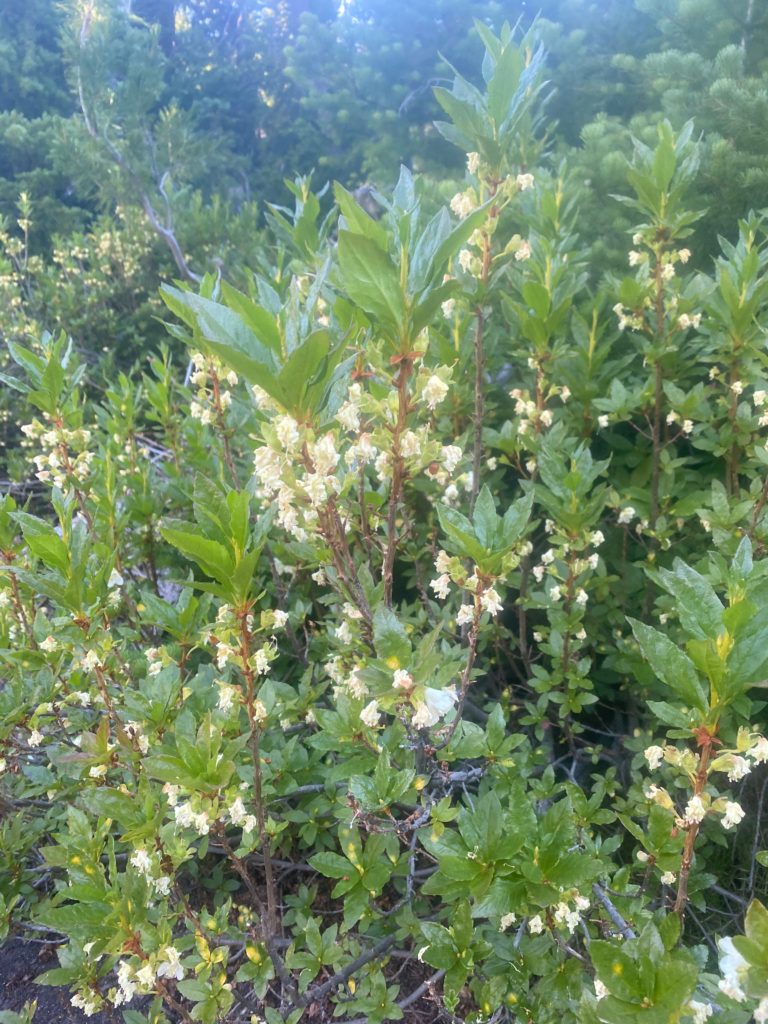
Some wildflowers seen along this part of the trail

PCT 2601 to 2610 Giant red Indian Paintbrush
PCT 2601 to 2610 Field of flowers
PCT 2601 to 2610 Indian Plum