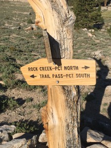
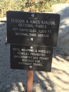
My target for today is to get over Pinchot Pass. Perhaps a good time to give you some information about the passes which comes directly from the Guthook application I am using for PCT Navigation.
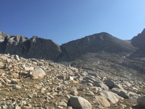
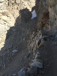
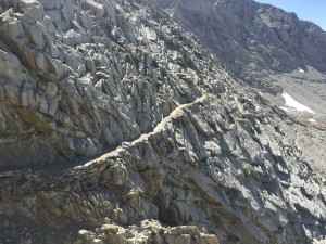
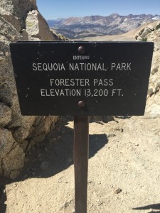
1) Forester Pass: mile:779 elevation:13098 At 13200 feet in elevation, Forester Pass is the highest point on the PCT, and the first of the major passes that a northbound hiker must cross. The pass is named in honor of a group Forest Service personnel who found the pass in 1929.
2) Glen Pass: mile 791 elevation:11968 The second major mountain pass of the Sierra Nevada Range on the PCT, Glen Pass isn’t the hardest pass, but it is far from easy. Heading north, however, a spectacular landscape of lakes awaits you. The pass was named in 1905 for Glen H. Crow, a Forest service ranger.
3) Pinchot Pass: mile 807: elevation 12104 The third major pass in the Sierra Nevada Range, Pinchot Pass is no less scenic than the previous two. The final climb to the pass is less steep than some of the others, but its higher elevation makes the ascent just as rewarding. Pinchot Pass is named after Gifford Pinchot, appointed by Theodore Roosevelt as the first director of the U.S. Forest Service in 1905. He later became a two-term governor of Pennsylvania.
4) Mather Pass: mile 817 elevation:12047 While not the tallest pass on the Sierra section of the PCT, Mather Pass often ranks as one of the most fear-inducing due to the steep headwall that the trail climbs on the south side of the pass. Use caution when climbing, but remember to take a look around. Mather Pass is named for Stephen Mather, a retired industrialist millionaire wo was appointed as first director of the National Park Service in 1917.
5) Muir Pass: mile:838 elevation:11978 Muir Pass is a long and gradual ascent to almost 12000 feet, and is often cited as one of the most difficult passes on the PCT due to the miles of snow fields you must cross in either direction to reach the summit. The John Mir Shelter marks the top of the pass. The John Muir Shelter atop Muir Pass was erected in 1931 by the Sierra Club and U.S. Forest Service in honor of John Muir. It can be an emergency shelter for hikers. Muir Pass is named after the famous conservationist and writer, John Muir.
6) Selden Pass: mile:865 elevation:10877 The first of the mjaor PCT passes below 11000 feet in elevation, Selden Pass is not significantly easier or less snowy than the higher passes, so don’t let the numbers fool you. As with previous passes, the views from Selden are glorious. The pass is named for Selden Stuart Hooper, a topographer with the US Geological Survey in the 1890s.
7) Silver Pass: mile:885 elevation:10781 Another high point on the trail through the Sierra Nevada Ranger, Silver Pass sits high above several alpine lakes and makes for a beautiful view. There is something of a false summit to this pass, so once you get to the obvious top of the pass, you still have to climb some more.
8) Island Pass mile:924 elevation:10224 While not quite as dramatic as the other major passes in the Sierra Nevada Range, Island Pass can be difficult to navigate due to the more open terrain and lack of pronounced landmarks. The pass is named for nearby Thousand Island Lake.
9) Donohue Pass mile:929 elevation:11031 Another dramatic pass. Donohue has plenty of wide, open space at the top for relaxing in good weather after a tough climb. In heavy snow, it may be a long slog to get to the top. The pass and nearby Donohue Peak were named for Sergeant Donohue of Troop K, Fourth Cavalry, in 1895 after he ascended the peak.
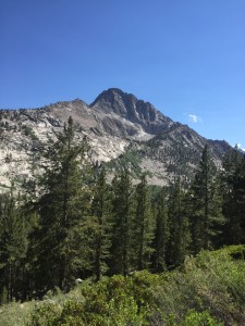
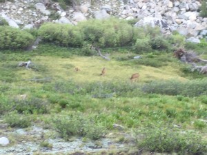
I did not sleep that great last night, perhaps worried about the rain, but woke up to a glorious morning and almost immediately was treated to a view of deer in the meadow by the lake. A great way to start the day.
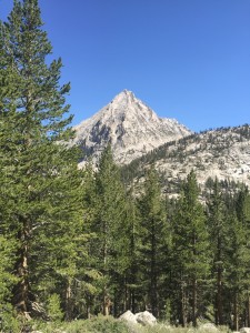
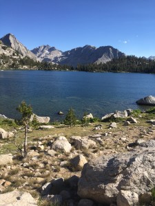
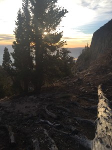
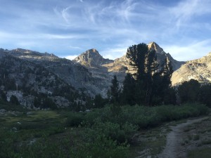
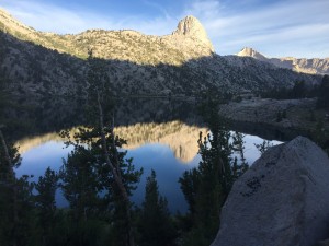
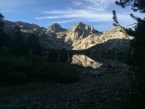
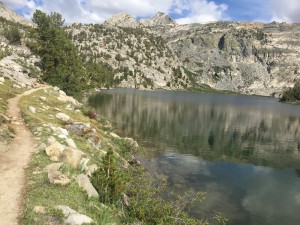
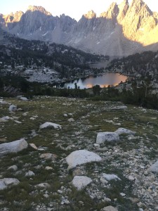
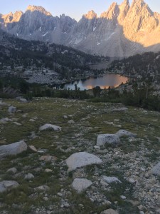
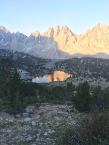
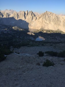
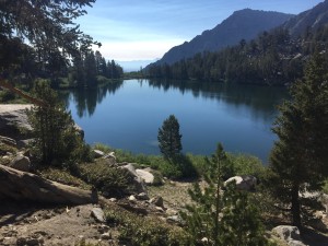
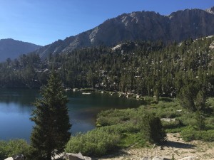
There were also some beautiful morning scenes of the sun coming up and reflections of the mountains in the lakes.
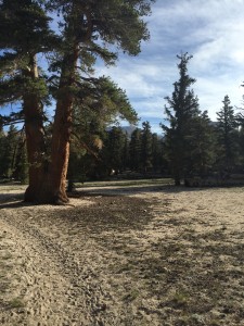
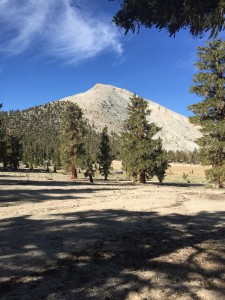
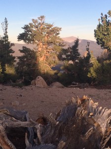
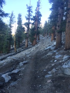
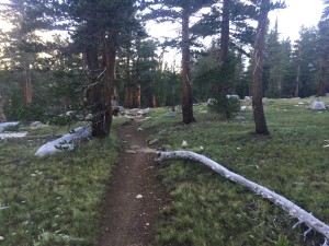
The trail was pretty gentle early on and here is a nice picture of the few places on the trail where you could just walk without worrying about where your feet were landing.
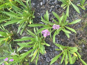
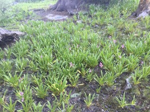
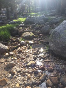
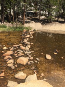
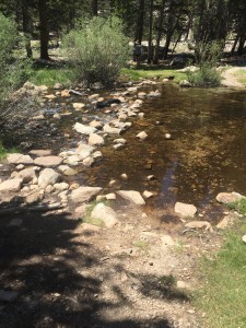
You keep on coming into new types of habitat along the trail. Below we have a little stream that is feeding into a marshy area. First time I have seen this type of habitat in the Sierra’s.
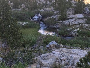
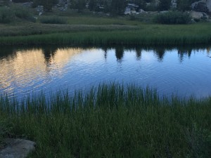
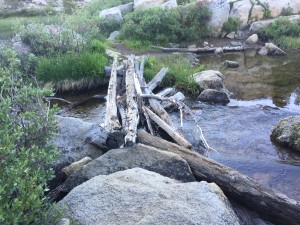
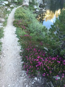
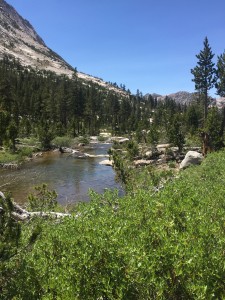
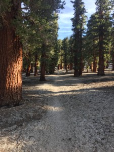
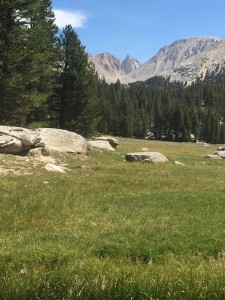
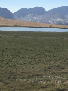
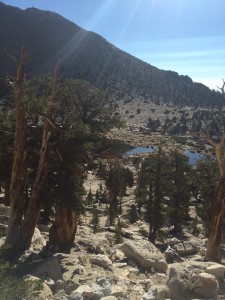
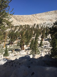
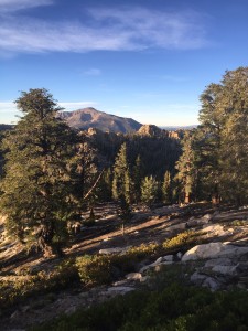
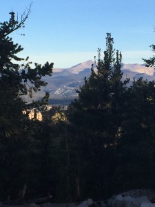
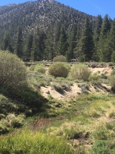
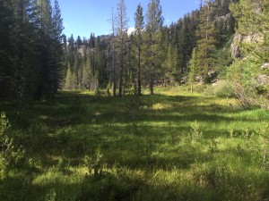
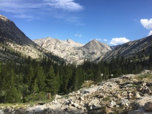
The next two pictures show a nice meadow I am hiking thru and then 5 minutes later out in the rocks looking at the next section of trees. Love to be hiking towards trees as that is the only hope of getting a softer trail to walk on.
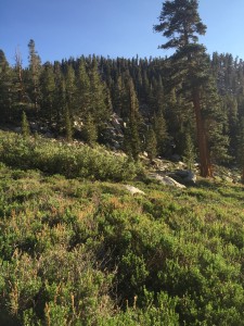
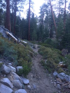
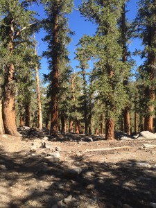
About 30 minutes later I feel I have been transported to a rain forest.
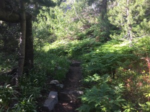
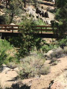
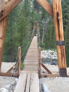
About an hour later I reach the suspension bridge over Woods Creek. There is a good camping spot here and I stop to have lunch. The sign on the bridge says only 1 person at a time. Looks pretty stable but once I start walking over it, it starts to sway and I’m trying to hold on pretty tight to the sides with one hand with my trekking poles in the other.
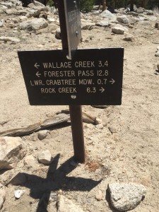
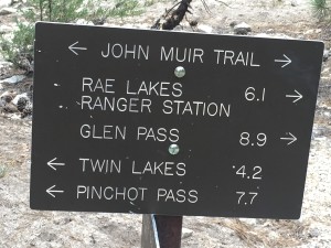
Its about noon and I have apparently hiked 6.1 miles and have at least 7.7 miles to go. Not bad. However those 6.1 miles were down and the next 7.7 miles are going to be up.
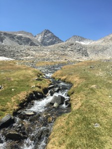
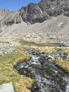
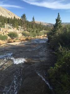
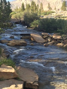
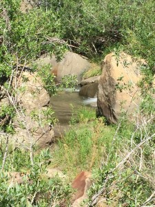
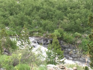
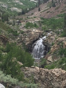
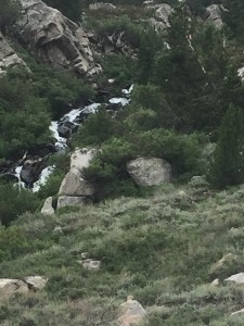
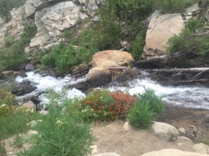
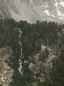
Always a rushing stream around somewhere and you can always hear a waterfall before you can see it. For some reason for me it always at first sounds like the wind is picking up in the trees but then it clearly becomes the sound of water.
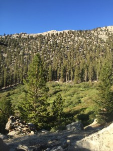
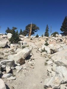
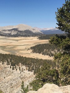
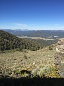
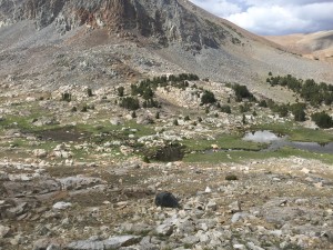
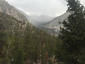
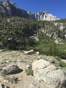
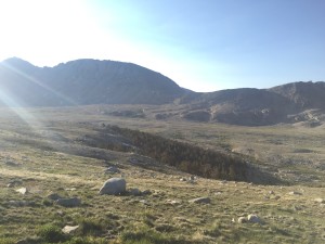
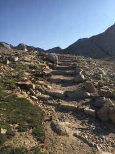
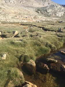
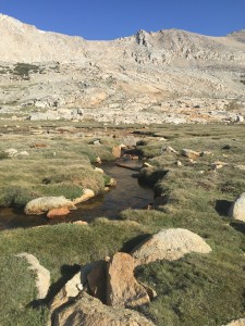
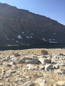
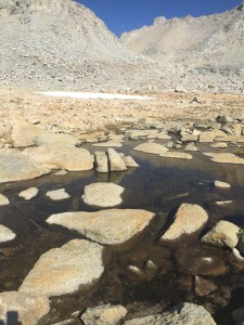
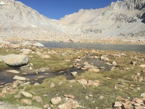
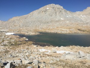
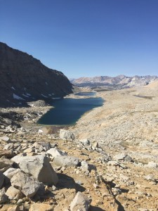
Once at elevation the terrain going to Pinchot is the same as the terrain heading into Forester Pass. Lots of little lakes and streams flowing between them and grassy tundra areas. Very pretty. However with Pinchot the trail goes above rather than right thru the tundra.
Once again while heading to Pinchot Pass the clouds move in and it starts to rain. Some thunder and lightning and again wondering if I should continue or wait for the storm to pass. I decide to continue and the rain the noise don’t last very long.
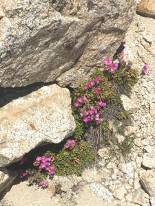
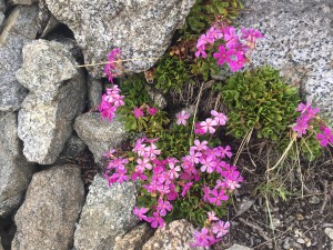
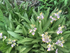
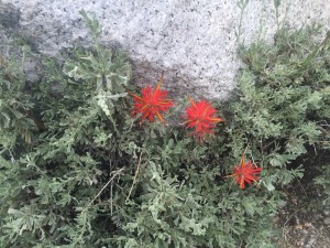
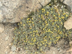
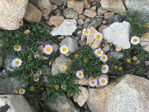
The always present beautiful wild flowers especially when you get above the tree line.
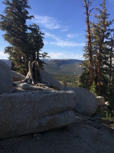
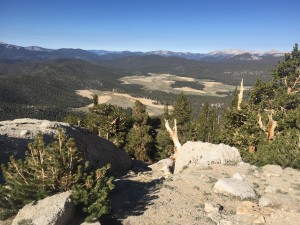
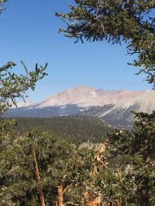
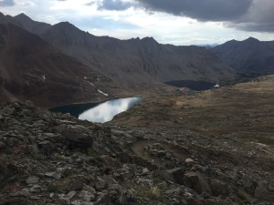
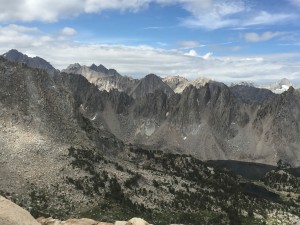
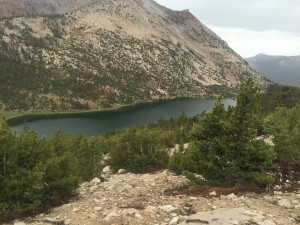
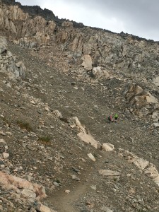
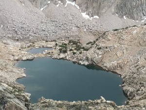
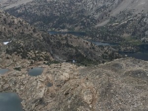
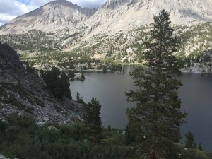
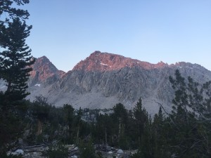
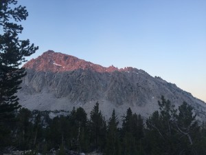
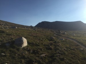
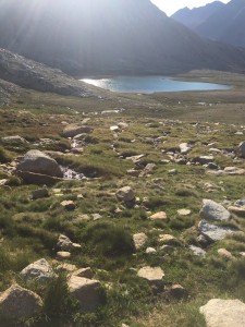
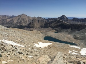
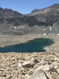
Finally reach the top of Pinchot Pass at about 6:30. Looking down I can see Lake Marjorie which is where I will camp. It is about 1.5 miles down from the pass.
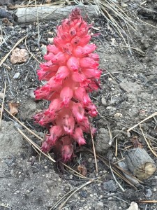
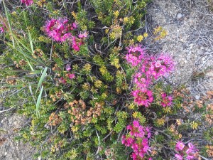
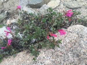
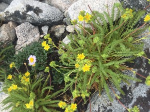
But on the way down I pass another wild flower that I just have to stop and take a picture of. Seen and posted these little guys before I think….
There have been a lot of JMT hikers going the other direction but no PCT hikers. I’m expecting “The Crew” to catch up to me as I think they started at Kearsarge Pass the same day as I did but just later in the day. But so far the trail has been empty of anyone doing the PCT.
Lenora’s Note:
The Lenora routine seems to demand that I drive one day and rest the next. That is one reason I will be staying close to Don’s position from here on. At least I have enough energy to stitch and I have finished the first piece I was working on during my time following the PCT.
![Polemonium eximium (skypilot or showy sky pilot) is a perennial plant in the phlox family (Polemoniaceae) that grows at high altitudes (mostly above 10,000 feet (3,000 m)). It is endemic to the Sierra Nevada in California where it grows in the talus of the high mountain slopes.[3][4] Wildflower enthusiasts consider it to be among the best of the Sierra wildflowers, and highly rewarding to find](https://farm-life.net/wp-content/uploads/2015/06/IMG_0308-300x225.jpg)
