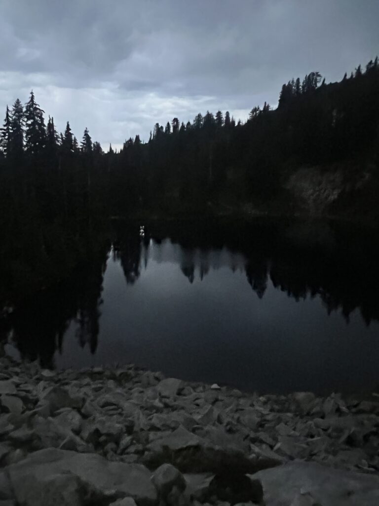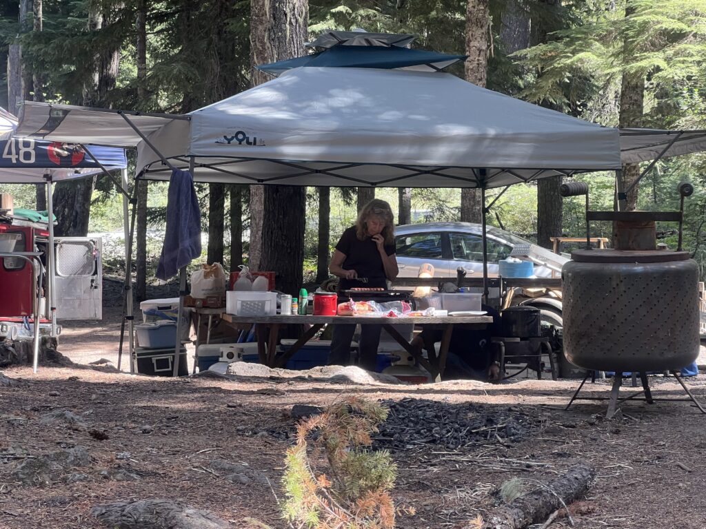
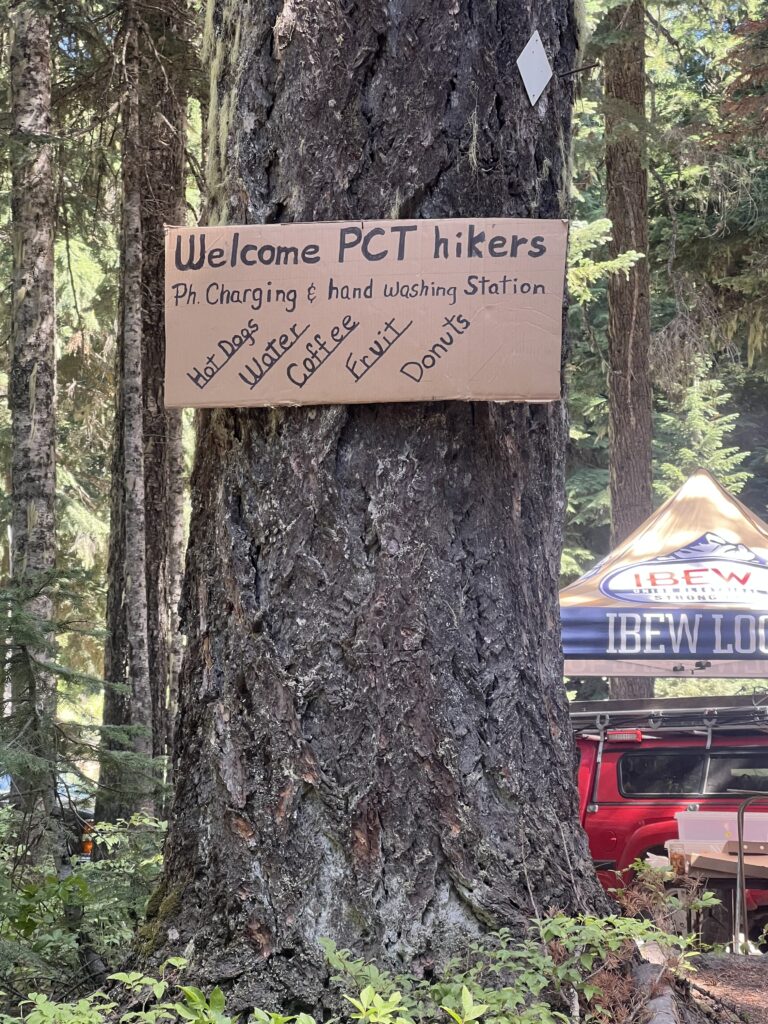
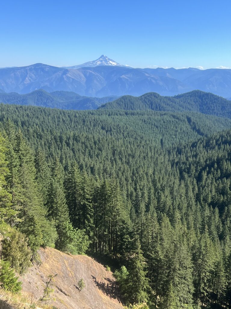
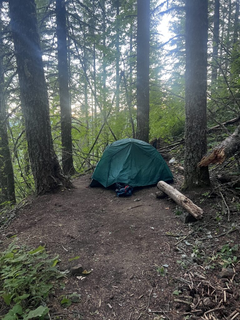
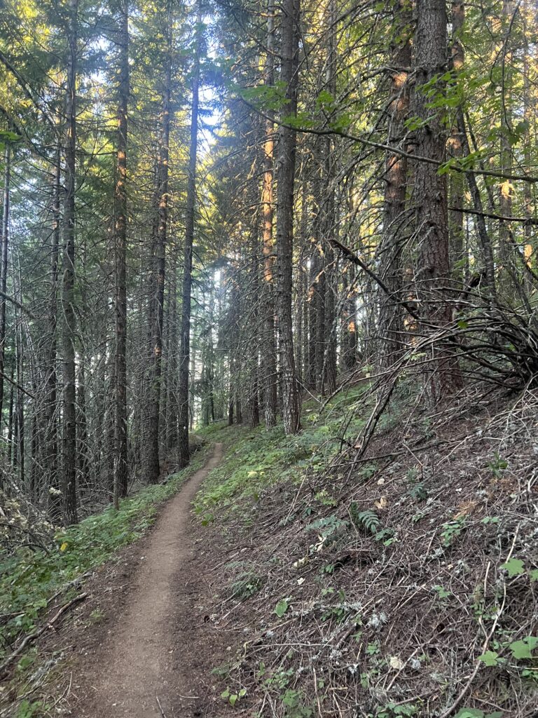
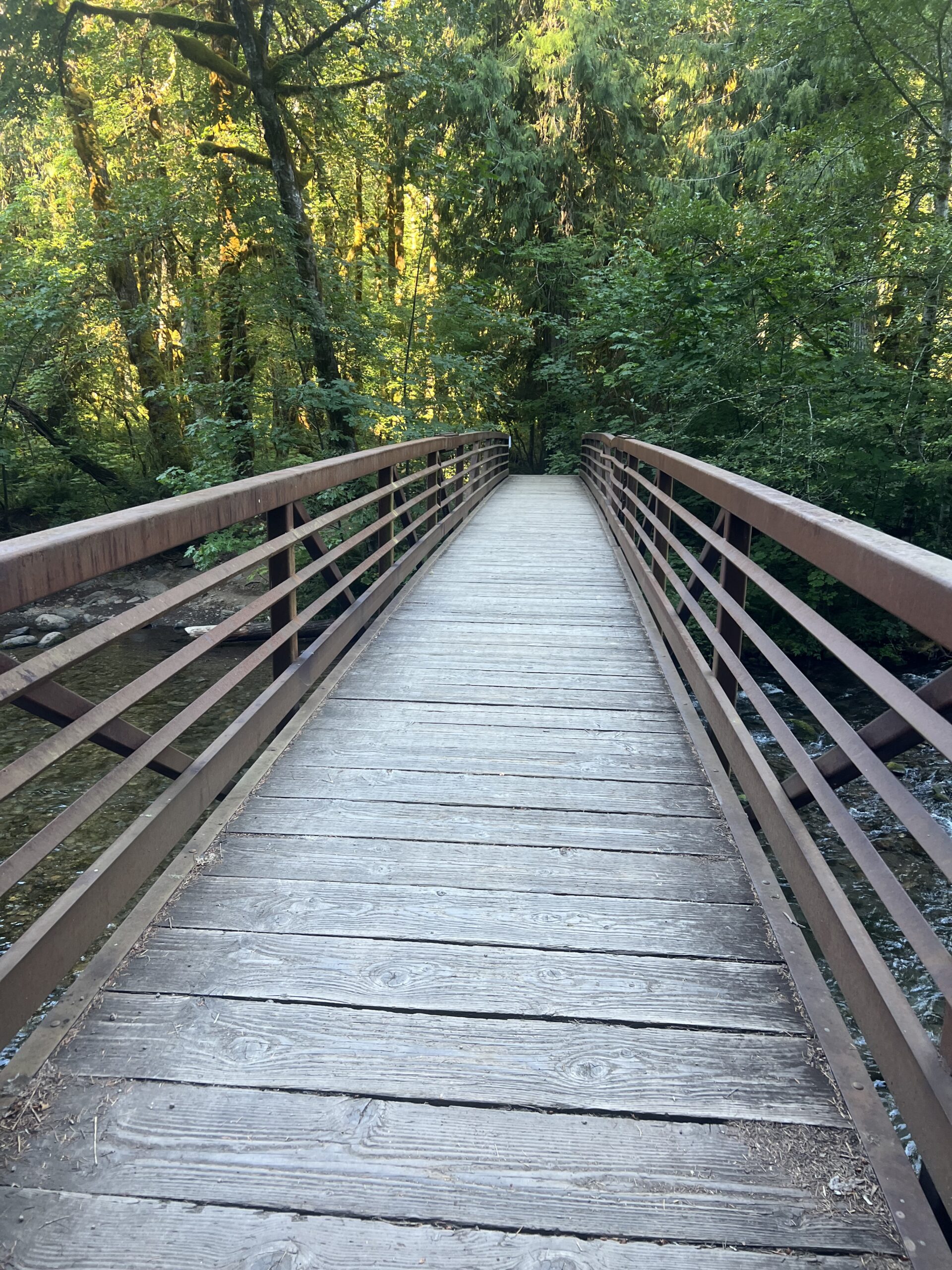
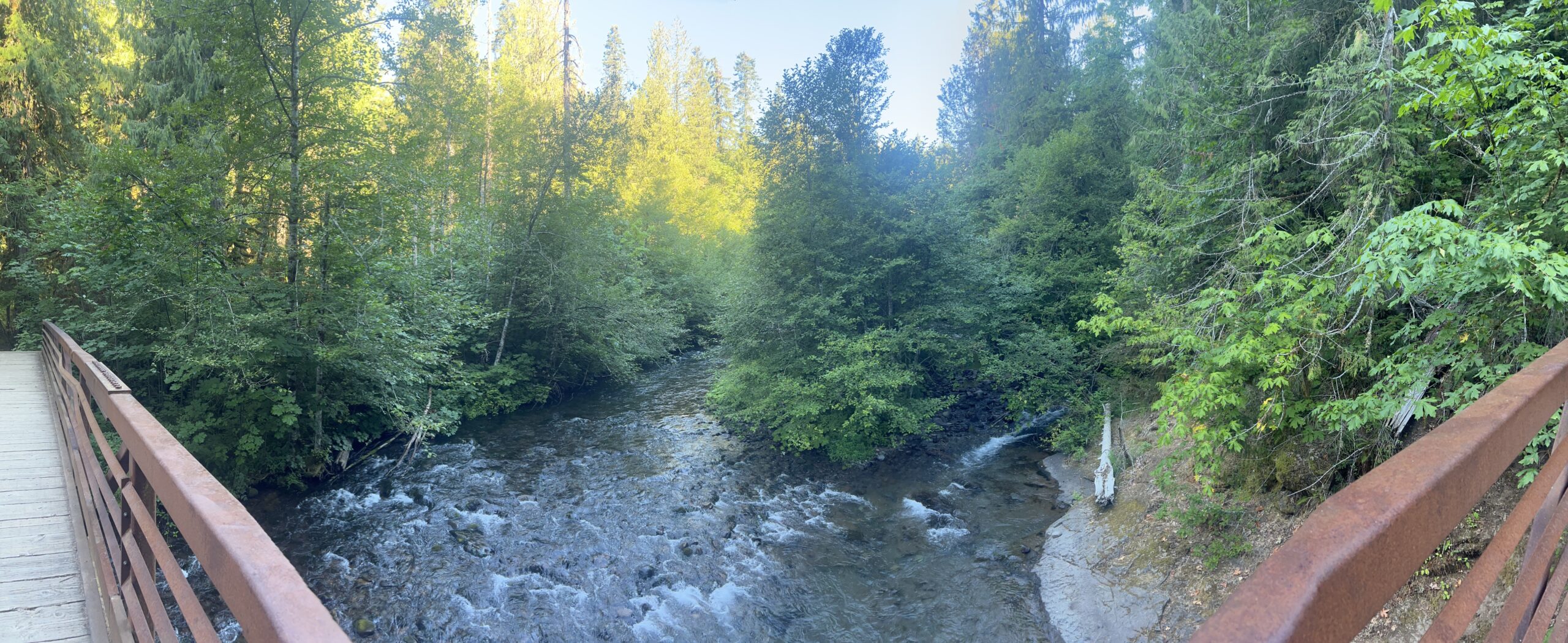
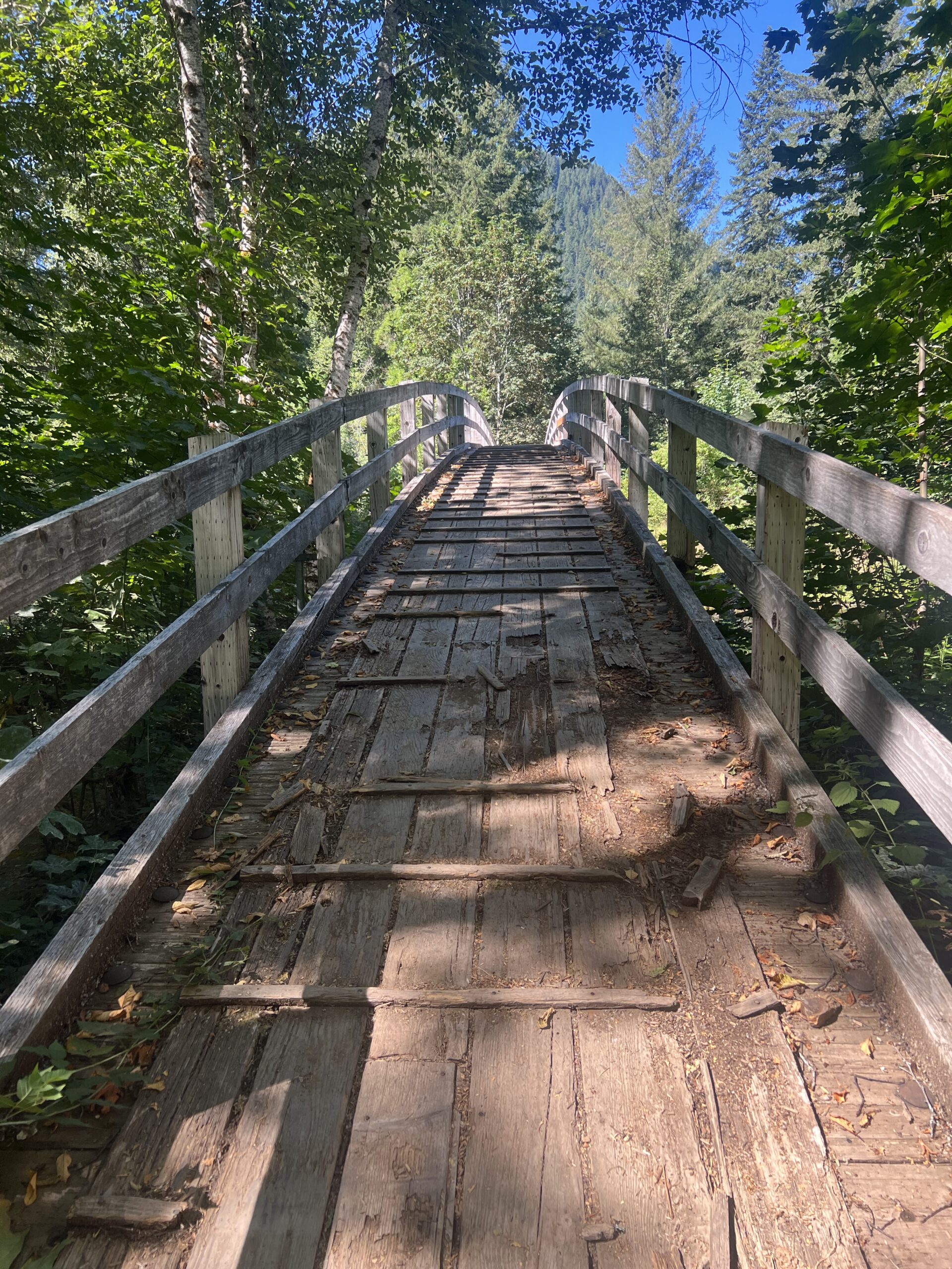
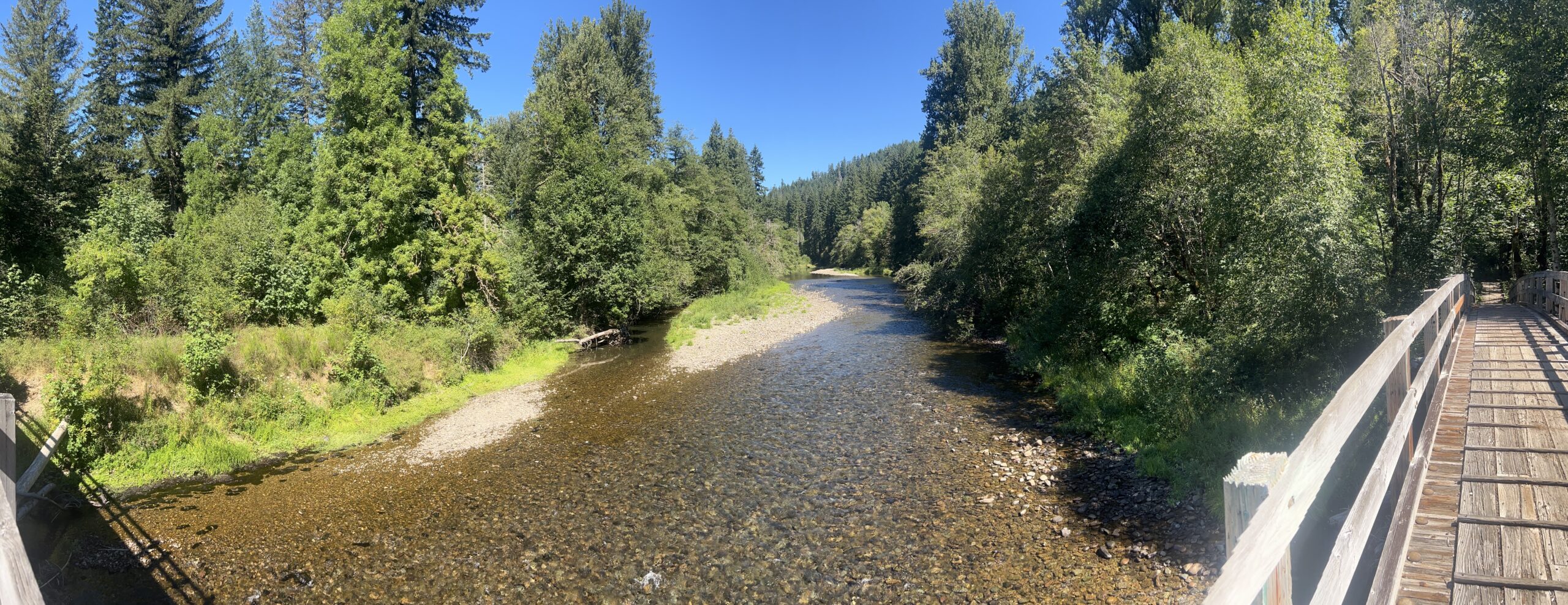
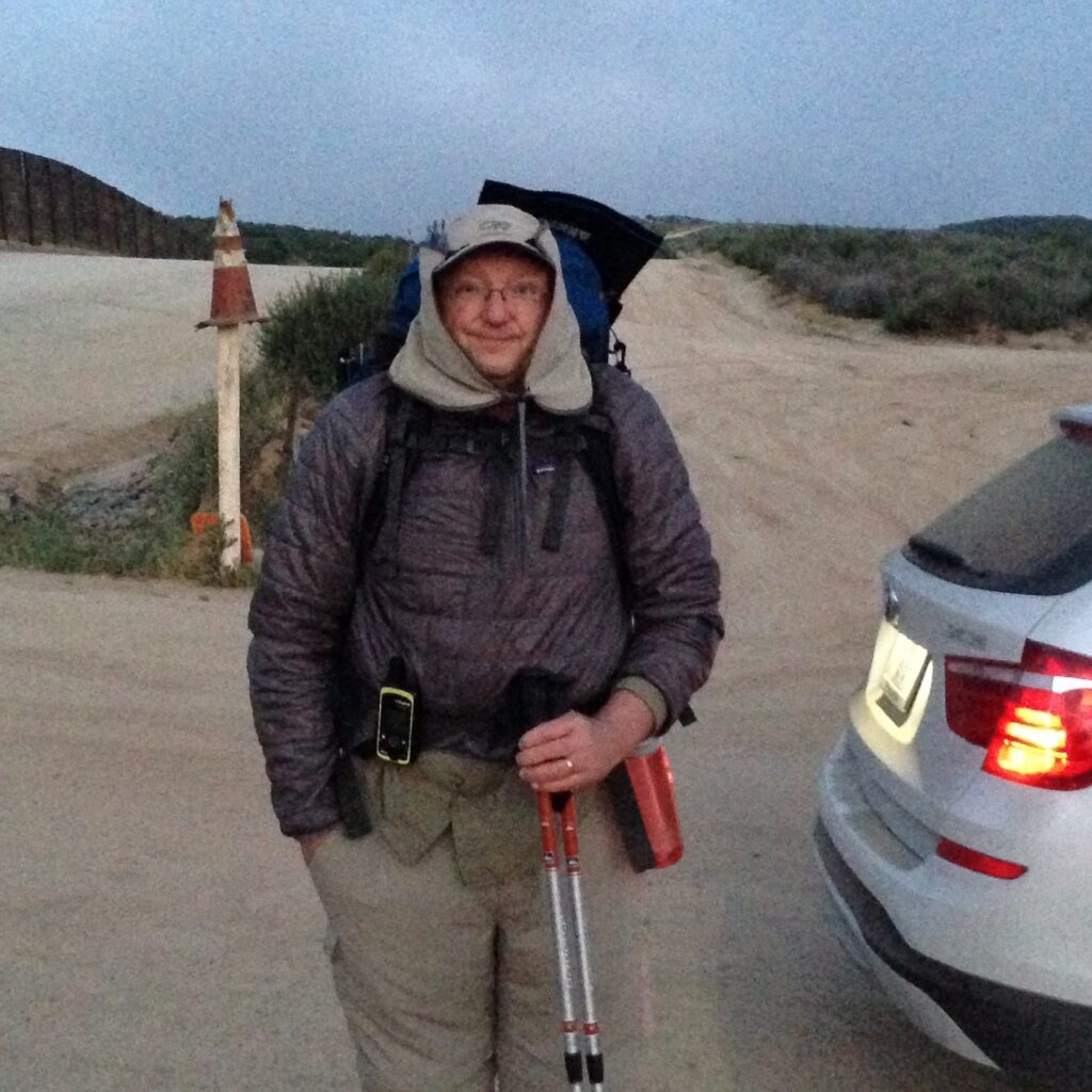
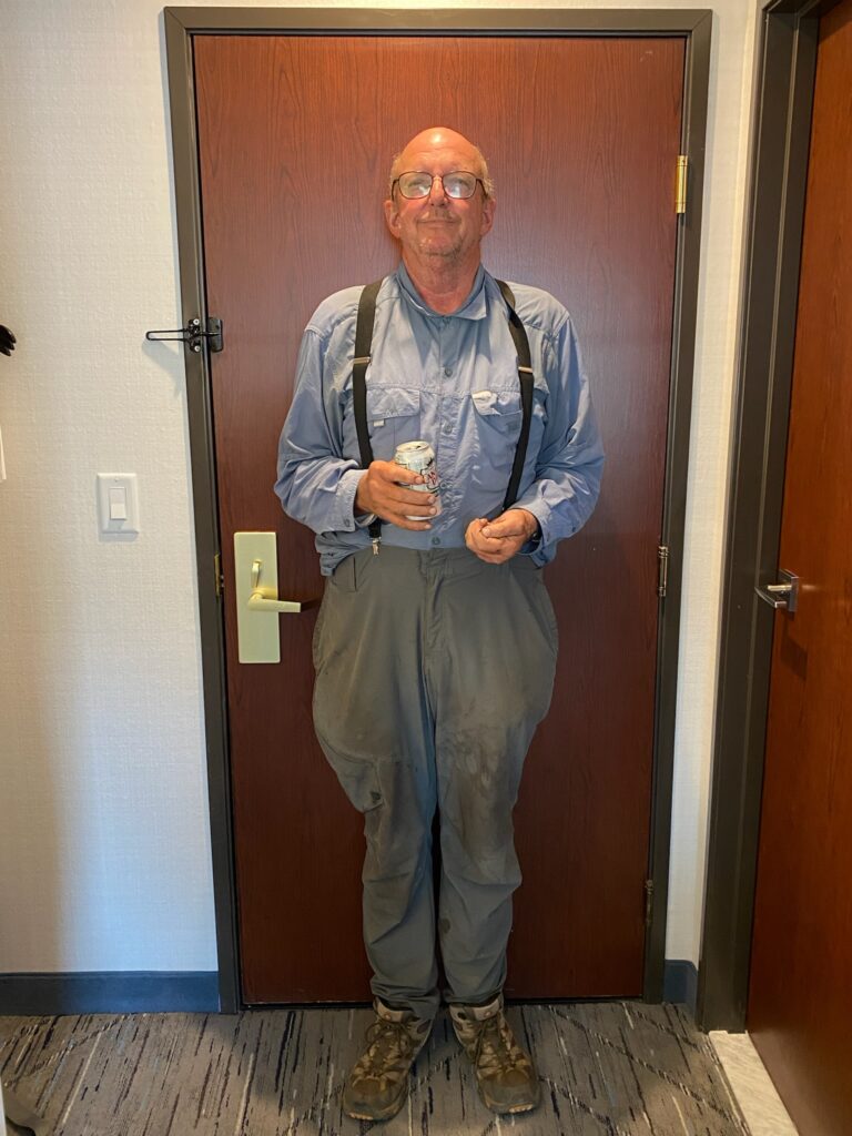


Here we are getting ready to start the hike from Rainy Pass to Skehekin
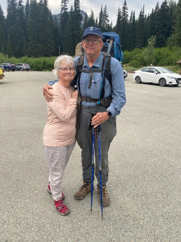
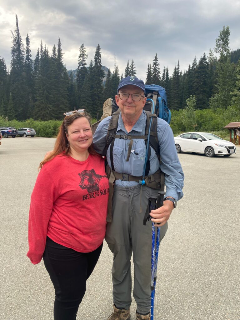
So the original plan was for me to hike between Stevens Pass and Rainy Pass. That is a 130 mile section which has huge elevation changes. Based on my performance I knew that I could not possibly complete this in the time we had allowed. So, we decided I would do from Rainy pass down to Skehekin (about 20 miles) and then we would go south and I would finish up the 20 miles I missed down there in 2020 due to the fires.
It was not until the night before as I was looking at the details of the hike that I realized I was going to be passing through North Cascades National Park where a backcountry permit was required in order to camp within the park. In order to get a backcountry permit you had to pick one up IN PERSON and the nearest pickup up point was 3 1/2 hours away. I went back and forth in my mind about what to do and I just decided I would try to do the 20 miles in one day so I did not have to camp within the precious National Park. There were reports that rangers were about checking for passes. There were no reports about what happened if someone did not have a pass. So far my longest day this year had been about 10 miles. I now needed to do 20 miles to avoid breaking any laws. On paper it did look like a very easy hike even though it is rated as hard.
Probably around 9:30 when Lenora and Martha dropped me off at Rainy Pass and I was off to the races.
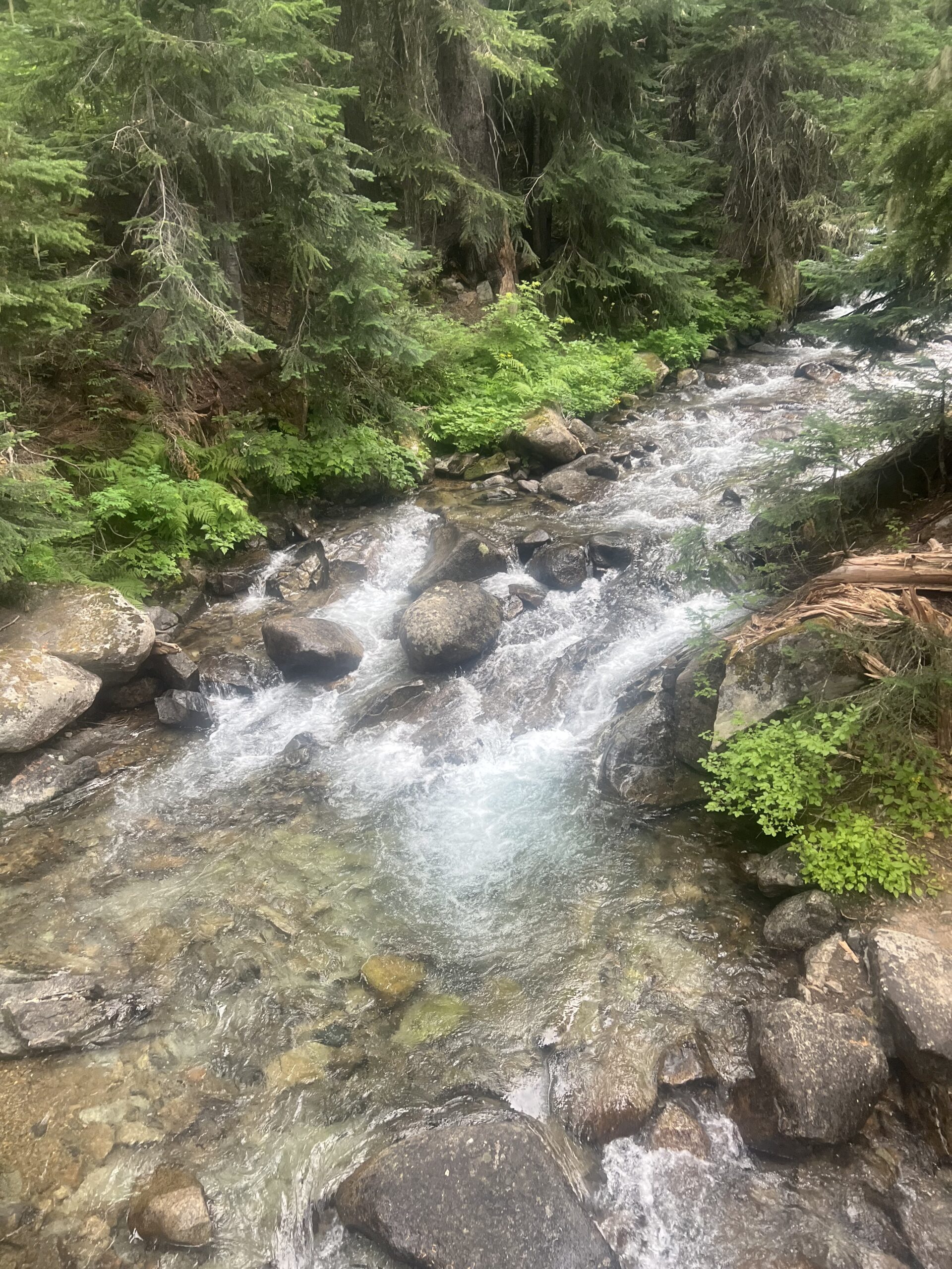
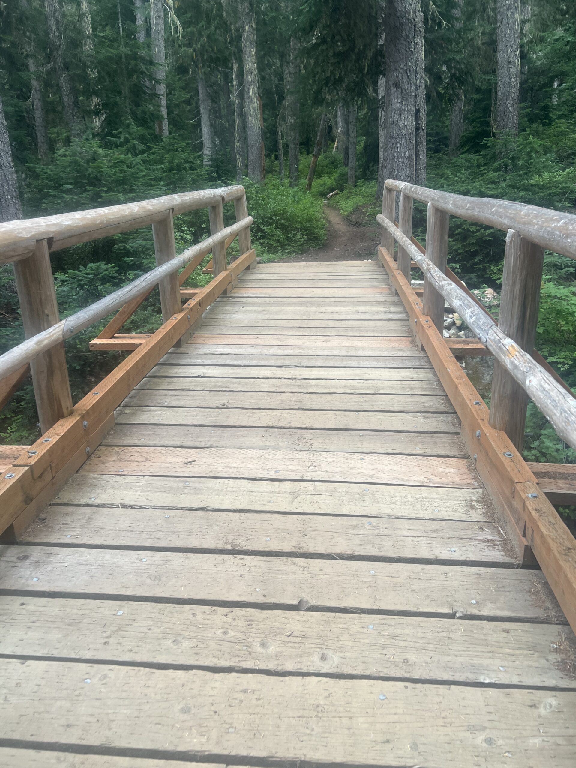
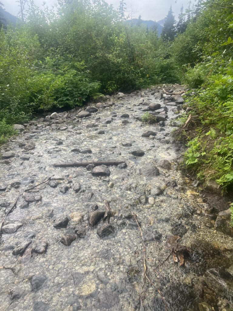
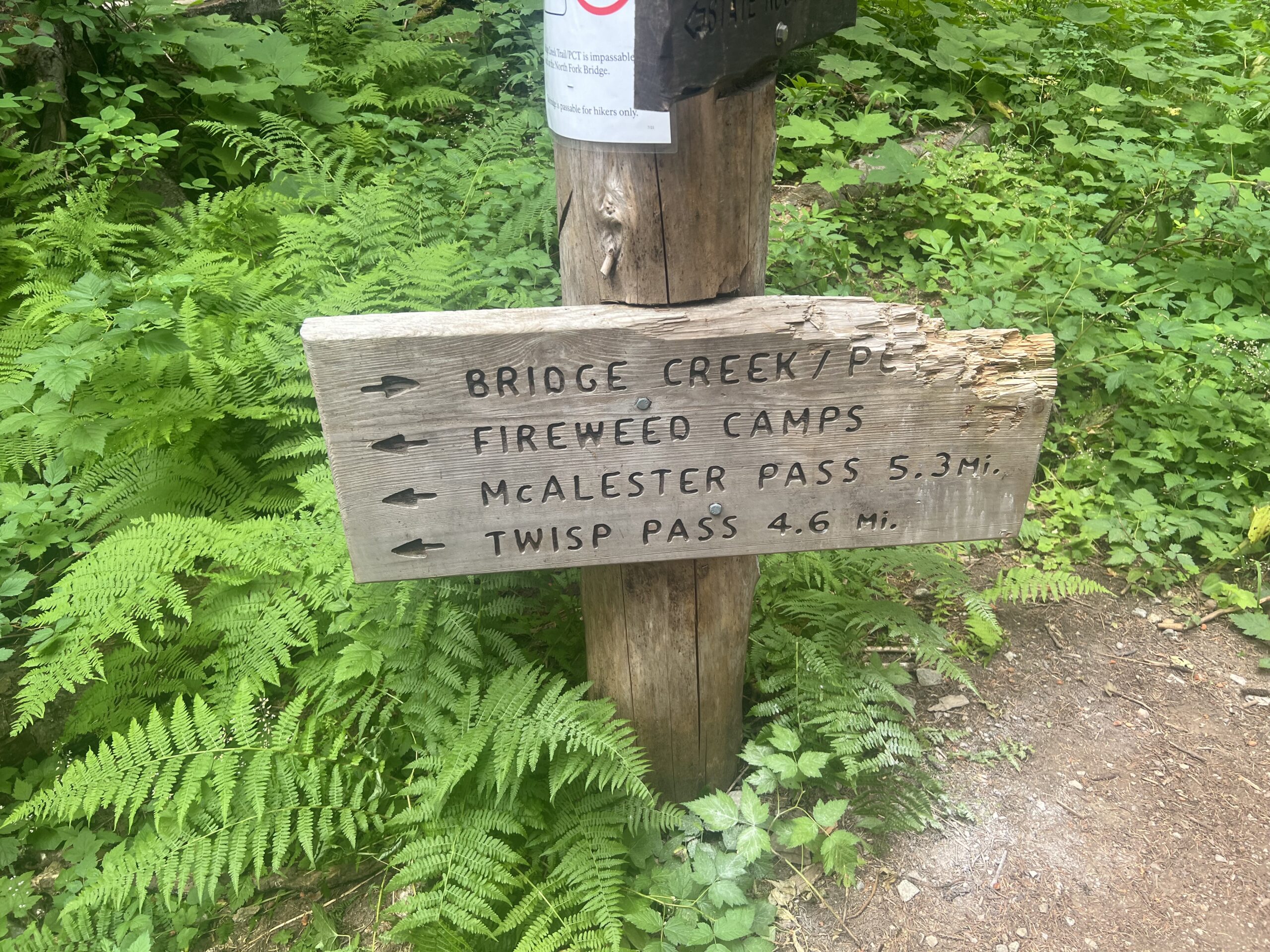
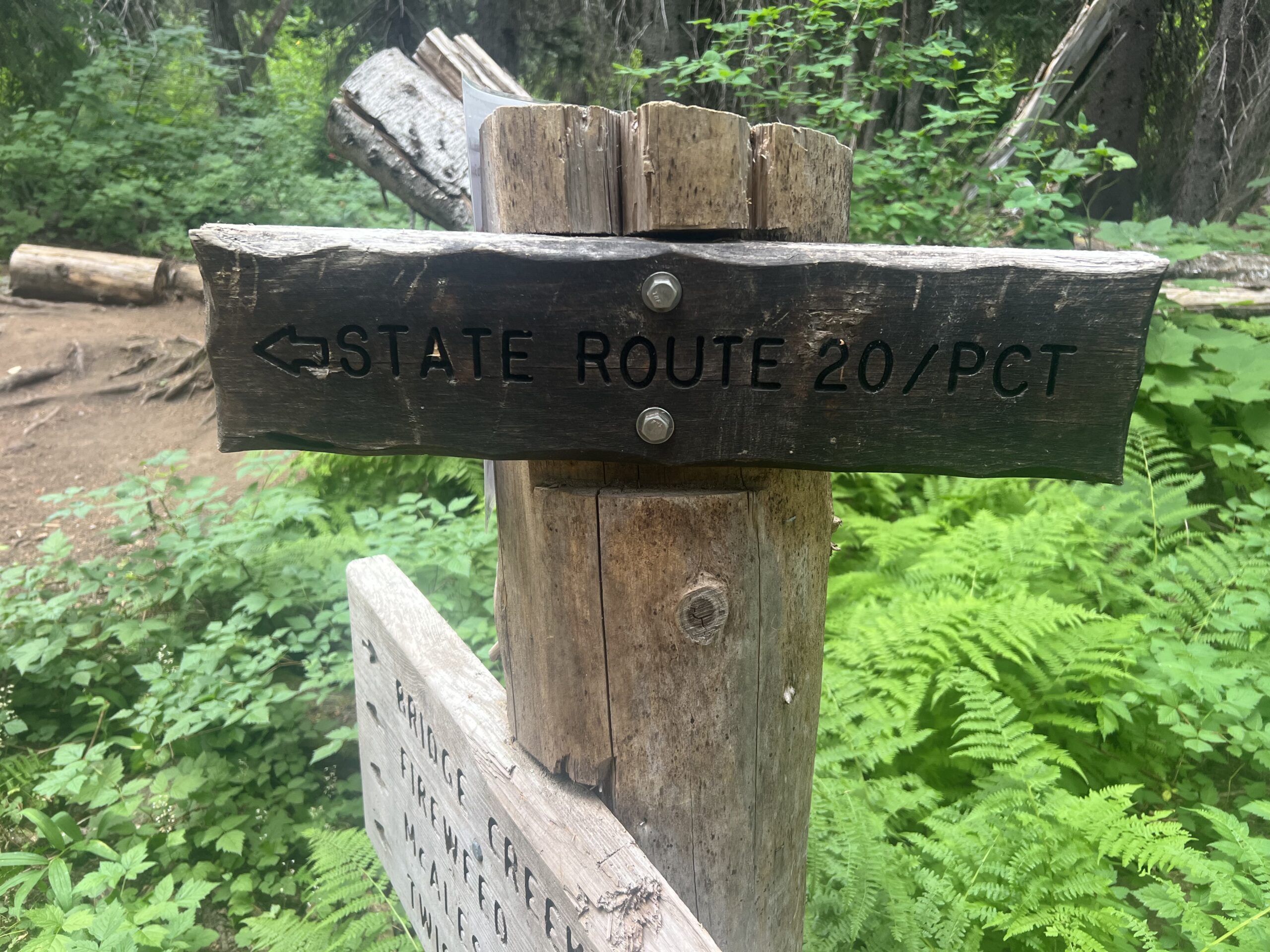
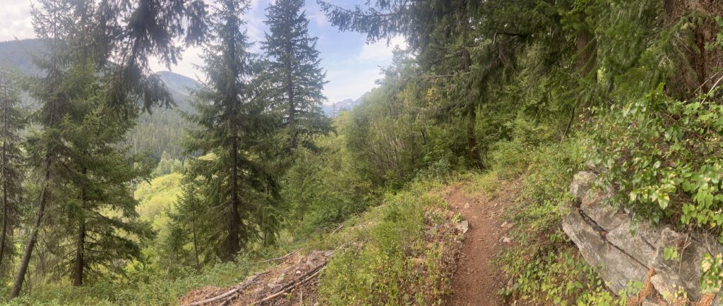
Just past this point I pass the 6-mile camp and then about the 10 mile point I get to Maple Creek. This is a cascading stream that is not too deep but it is above my shoes in depth so I decide to rest here for awhile. Up to this point I have not seem anyone on the trail except the couple I passed early on going the same direction as me. Normally I don’t pass people. Normally there is no one out there that is slower than I am, but I am on a mission today and going a tad faster than usual. Anyway, while waiting to cross Maple Stream a bunch (10 or so) of PCT’ers come from the other direction. Turns out they have all just left Stehekin. You have to get bused out of Stehekin back to the trail and so you tend to have groups of people for awhile after that until they can get separated. Its about 10 miles to the Stehekin bus from Maple Creek. I watch them and there are three ways to cross this creek. Up above a little ways there is a foot bridge. At the bottom there are rocks you can try to balance on to cross. Falling the wrong direction would not be a good thing. Or you can just walk through it. All 3 options were used by one or another of this group. There is a famous bakery in Stehekin where PCT’ers like to get some sweets. Two of the guys that settled down close to me pulled out some cookies to eat. They said the bakery was AMAZING but to be sure to take your wallet because everything was very expensive. One had peanut butter cookies, the other snicker doodles. We talked for awhile and both of them were super excited to almost be to Canada. Both of them were planning on 5 more days. I decided to just walk across the stream. Getting my feet wet at this point did not bother me and in fact it felt good.
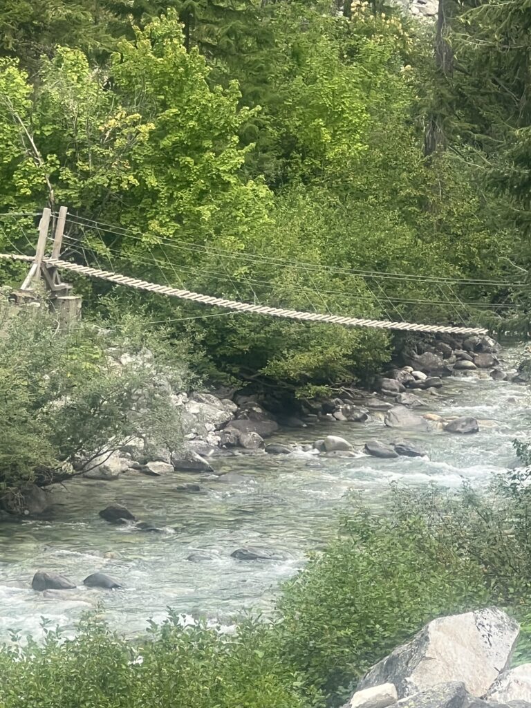
About two miles later I get to Bridge Creek and this time there is really no choice but to use the foot bridge. Now I know there is really no danger here and the sign before the bridge says please don’t jump on the bridge. That will not be a problem for me. I can’t even imagine someone wanting to do so.
Not too much later on I meet another wave of hikers and I just let them pass. One of them stops and asks me if I would like a cinnamon roll. I laughed and either aid sure. He opened his pack and said I could either have a cinnamon roll or a mini loaf of bran bread. I opted for the bran and he gave it too me and showed my his pack. It was full of baked goods from Stehekin. He said he bought $80 worth of stuff and it was just too heavy and he needed to unload some. We both laughed and I thanked him. Perhaps that couple behind me will help him out as well.
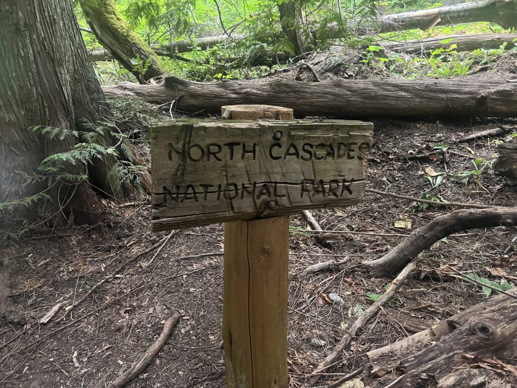
I knew I was going to make it all the way to the Stehekin bus area today but it was still nice when I got to the sign that said I was no longer in the park. I no longer had to worry about some Ranger giving me a ticket or whatever and could camp if I needed to. I passed 3 or 4 campsites within the park and all of them were empty. The only hikers on the trail were PCT hikers.
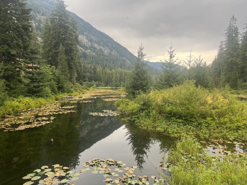
Just after exiting the park you get to Howard Lake. It is quite beautiful and I was surprised there were no campsites around the lake that I could see. Seems like a perfect spot BUT the Stehekin bus site is not very far away (less than a mile) and I’m guessing there is really nobody that wants to camp here. Stehekin is a PCT destination and everyone wants to go there.
I made it to the Stehekin bus stop but long after the last bus had left. I fully expected to just spend the night there and get the 9am bus in the morning. That was pretty much always the plan, I knew I could not make it in time. However when I arrived there was a group of people there and a large truck. A trail angel had come up to get the late arrivers and I was just in time. 5 of us piled into the back of the truck and 3 into the front and he took us the 11 miles down a dirt road to the town of Skehekin. Now there are only 2 ways to get to Skehekin. The dirt road from the wilderness which is basically used by PCT hikers and a 50 mile ferry ride across the huge Lake Chelan. Apparently a hour after the last bus arrives the town basically shuts down. So when we arrived, it was dark and the street was pretty much empty. The trail angel refused to take any money and told me I owed him only a good deed to someone else. He dropped us by the public laundromat and shower (I wonder why). This place also had a phone that would allow you a 10 minute call. I called Lenora and Martha to let them know I had arrived at the town. When I got off the phone, the other hikers were gone. I had no idea where they went. Skehekin has no phone service (at least no AT&T service) so there was nothing I could look up. I did find one nice lady who vaguely pointed me to where the common PCT camp site was. I located it but it was dark and nothing was going on every flat site I came across was occupied. I gave up looking and walked back into town. I noticed a picnic table near the lake and decided that was as good a place as I was going to find. So that was my bed for the night. The driver did mention that it was rattlesnake birthing season so to take care and where a head lamp so we could see where we were stepping. The top of the picnic table looked pretty good. It was a beautiful night and I slept only a little worse than normal. Keep thinking someone might tell me the park bench was not a valid place for me to sleep. Nobody bothered me and I was up and ready for the day long before the town woke up.

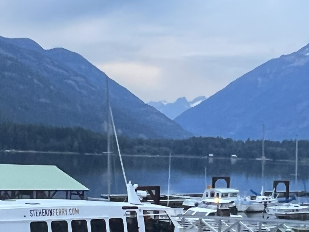
In the light of morning the town was easier to figure out. Martha and Lenora had made me a reservation on a ferry to get me back to the town of Chelan where they could pick me up. There was some confusion because we could only communicate via the InReach device which is great for emergencies but lousy for basic chitchat and information. But the town people were nice and I got on the correct ferry and took a high speed 50 mile 1 hour ride down the lake to the town of Chelan where Lenora and Martha picked me up.
Lake Chelan (Chelan is taken from a Salish word meaning deep water) is 50.5 miles long. Has a maximum depth of about 1500 feet and is the 3rd deepest lake in the US (25th deepest in the world). In the US, only Crater Lake in Oregon and Lake Tahoe in California and Nevada are deeper.
The hike into Stevens Pass is not easy but it is short. Going up grades more than 8% is still very difficult and today ranges from 8 to 12. It feels great to make it to Stevens under my own power and not in a helicopter with a broken arm. I get there about noon and there is a crowd of PCT’ers going both north and south that are taking a break here. There is a nice lodge here that is not open and a restaurant that is not open but also importantly there are restrooms that are open. There are chairs to sit on and tables to sit at and both are nice.
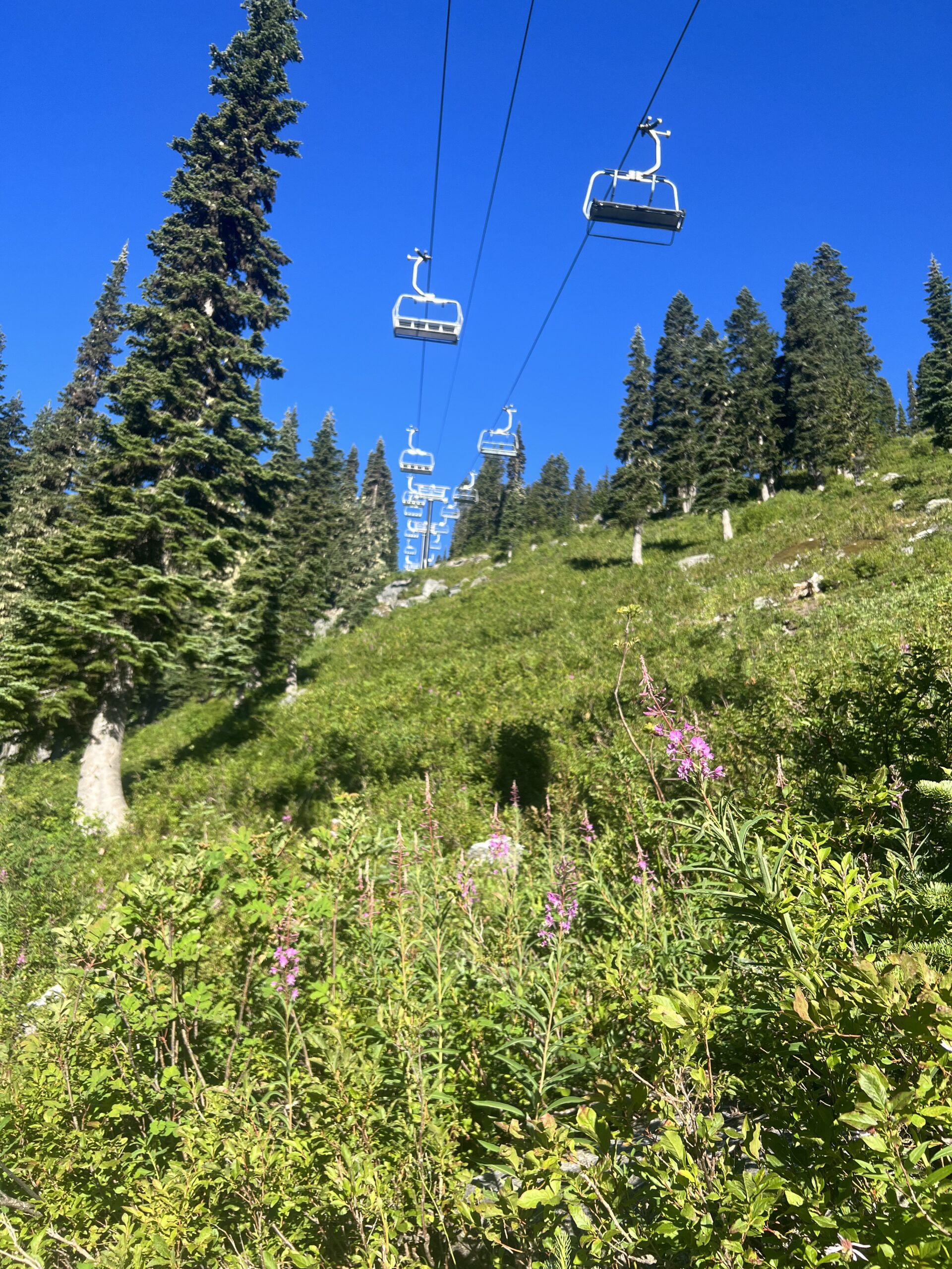
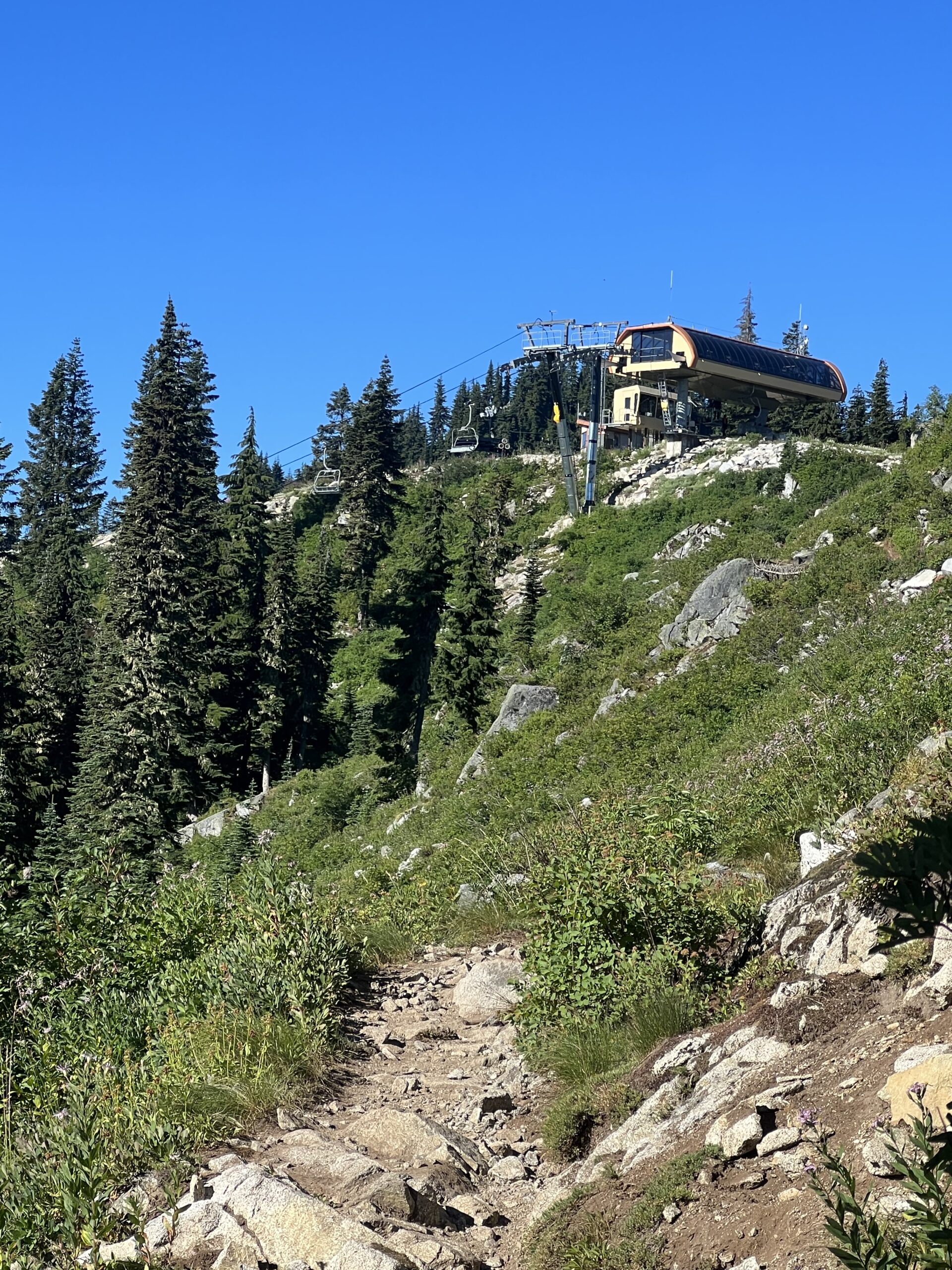
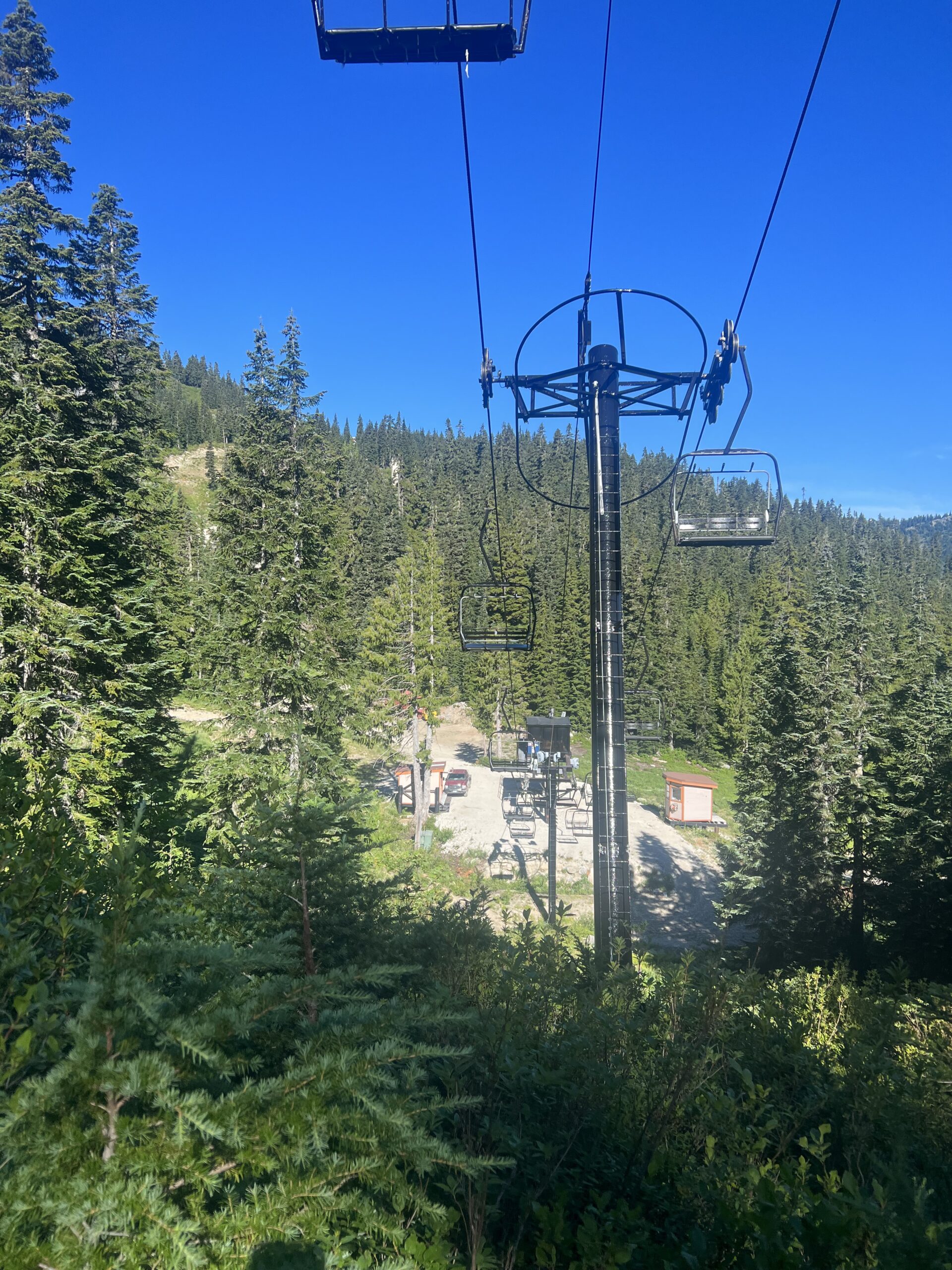
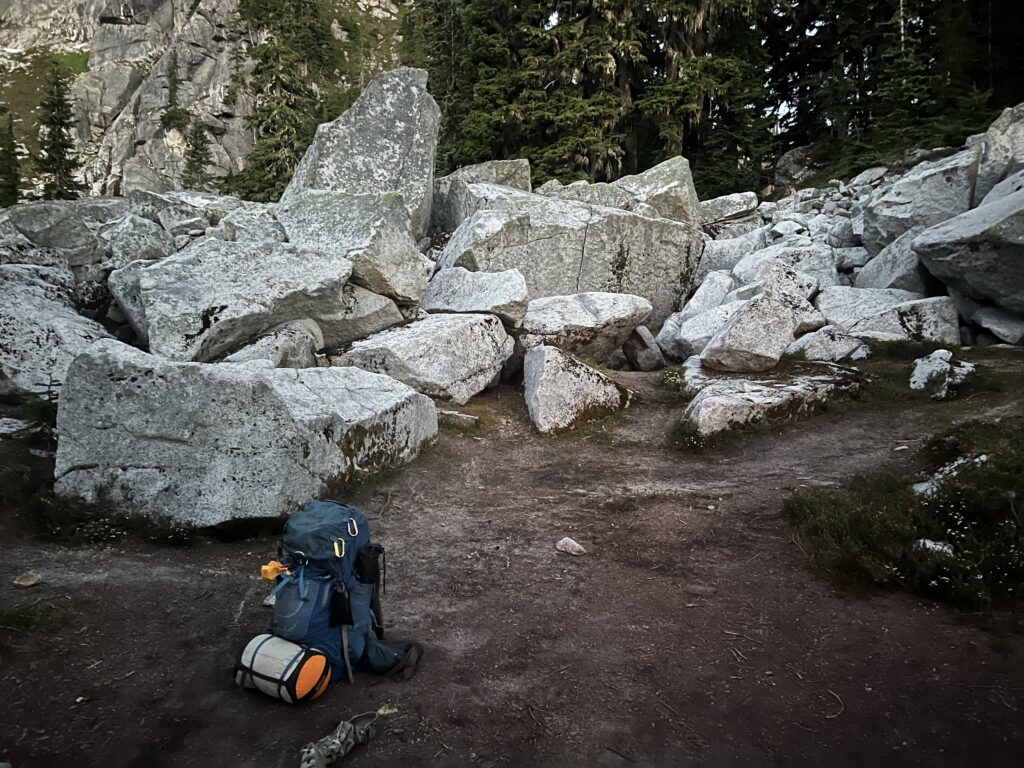
Once again, I have a good nights sleep except for hearing the cussing every once in awhile that the campsite is not available. In the morning I look around an notice how beautiful it is. I never notice at the end of the day. I am too tired to notice. In the morning, I am always amazed.
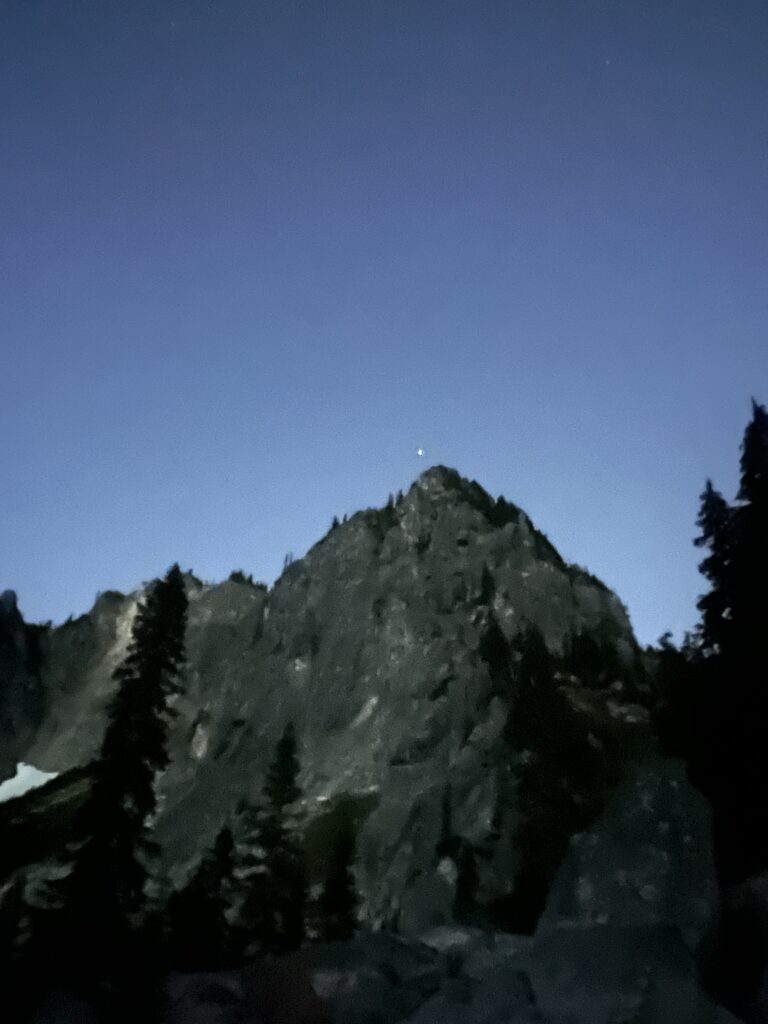
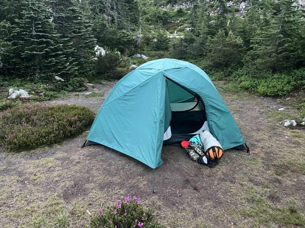
Already packed up but the picture below shows my campsite. Yes it is very rocky here BUT the rocks on the trail here at least do not move underneath your feet.
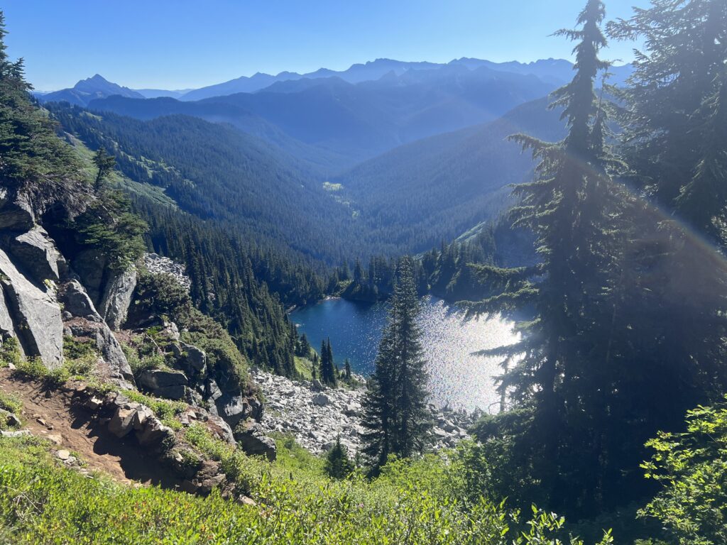
About 9 I am looking down at Trap Lake. The PCT does not go down there but looks like a nice place to hang out for awhile.
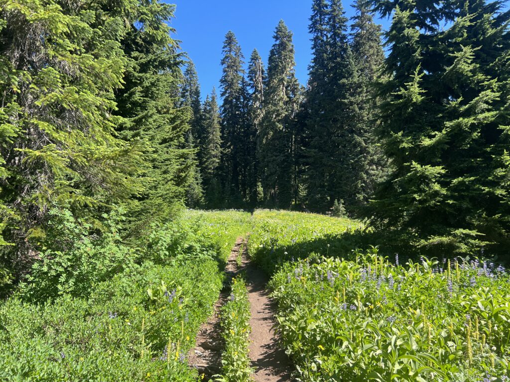
About 11 I am walking through a meadow. Been awhile since the hike was this easy.
I thought I might make it to Stevens Pass today. But, that was not going to happen. I am 5 miles away and just have to stop. I need water, I am tired, and I am by Lake Susan Jane. I find a campsite and go immediately to lake to slurp up some water with the lifestraw. I have about 5 miles tomorrow to get to Stevens Pass but there is a peak I have the climb along the way.
I mentioned my campsite looked like a disaster area. Below is a picture that just partially captures it. The trees were down everywhere. It was not even clear when the PCT trail was. There were 6 of us there that spent a fair amount of time locating where the trail continued.
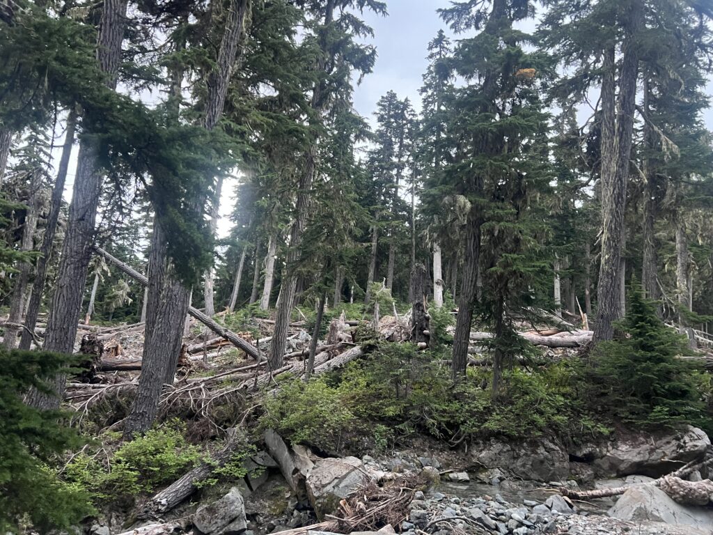
I also mentioned it was a dry creek bed. It was dry but sometime in the middle of the night I started hearing water and in the morning I woke up to a full blown stream right by my tent. Snow melt and perhaps rain and bam, you have yourself a stream.
I start the day about 6 and by 7 I am at the “Cascading Stream” I have been warned about almost every day. Everyone said they were able to cross is fairly easy and one said he did not even get his boots wet. When I get their, there is no way to cross this without getting wet. When I get their, I’m not even sure there is a way to cross it. All I know is that I will somehow cross it because I am not going back. Basically what is going on here is the PCT comes to this side of the canyon. Over on the other side of the canyon you can see where the trail continues. How to get from point A to point B is up to you.
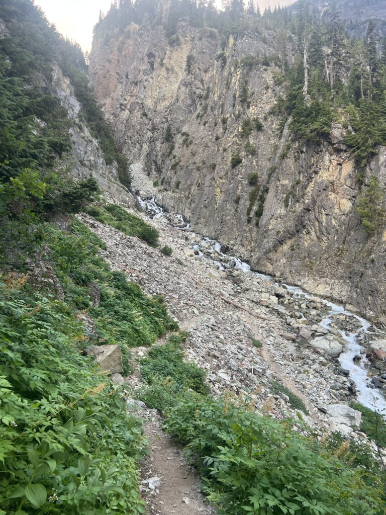
I spend about an hour trying to get across this stream. I figured there is not way I cross up high. The stream is too fast. The stream empties into a valley that is quite close and I start bushwhacking my way down but looking ahead it appears to be a cliff that I can’t get down. So I turn around and go back up to a point that looks possible and I get about half way across but reach a point where the flow is too strong for me to continue. While standing there I look down and with a better view of the way down I figure I can get down the cliff to where I can cross the stream. So I go back and start going down again and indeed do find a way off the cliff and down to the valley. I cross the stream and then work my way back up on the other side and back onto the trail. Exhausting.
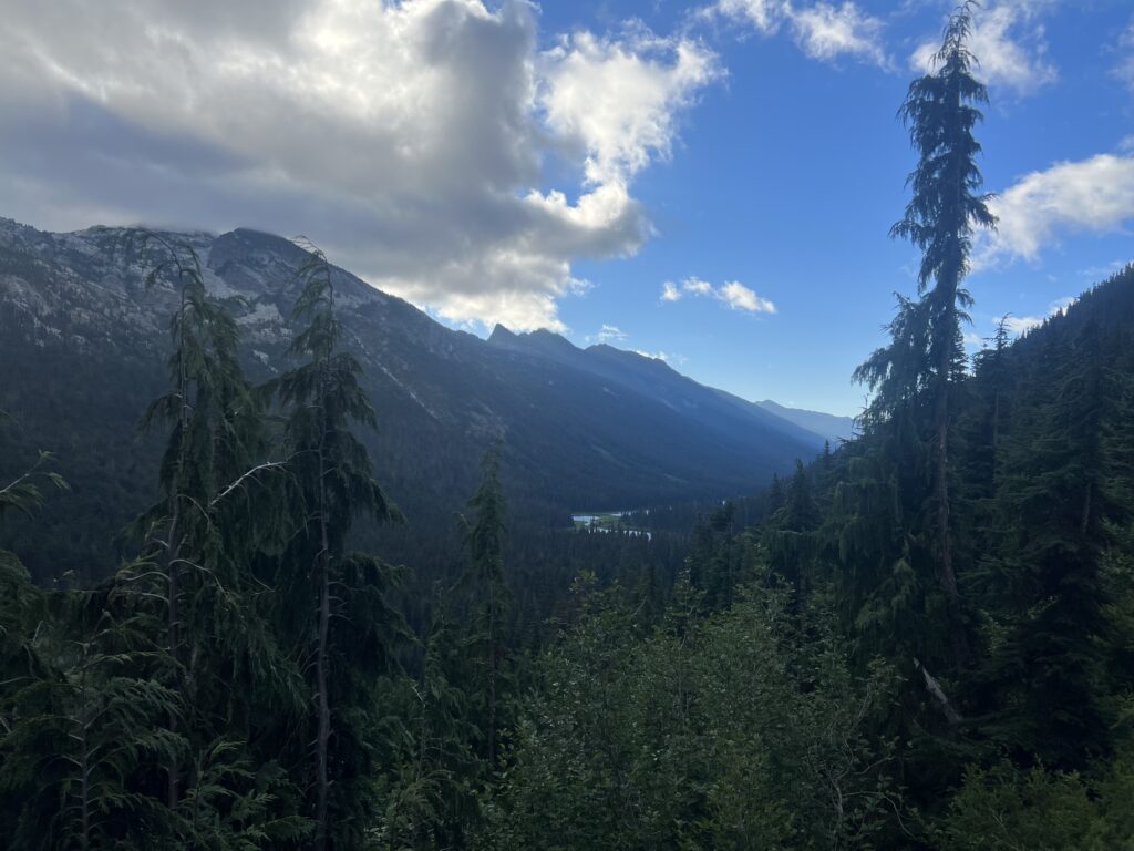
I start walking along the trail and happen to look back to see the beautiful valley that “Cascading Stream” was flowing into.
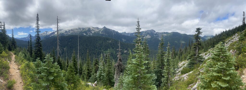
2 hours later, I am captivated by the view and try to capture it in a panorama picture.
An hour later I am at Deception Lake. Pretty area and the trail goes right along the lake and then heads up. Actually been heading up for about a mile at this point but will go up fairly steeply for another 3 miles to Piper Pass.
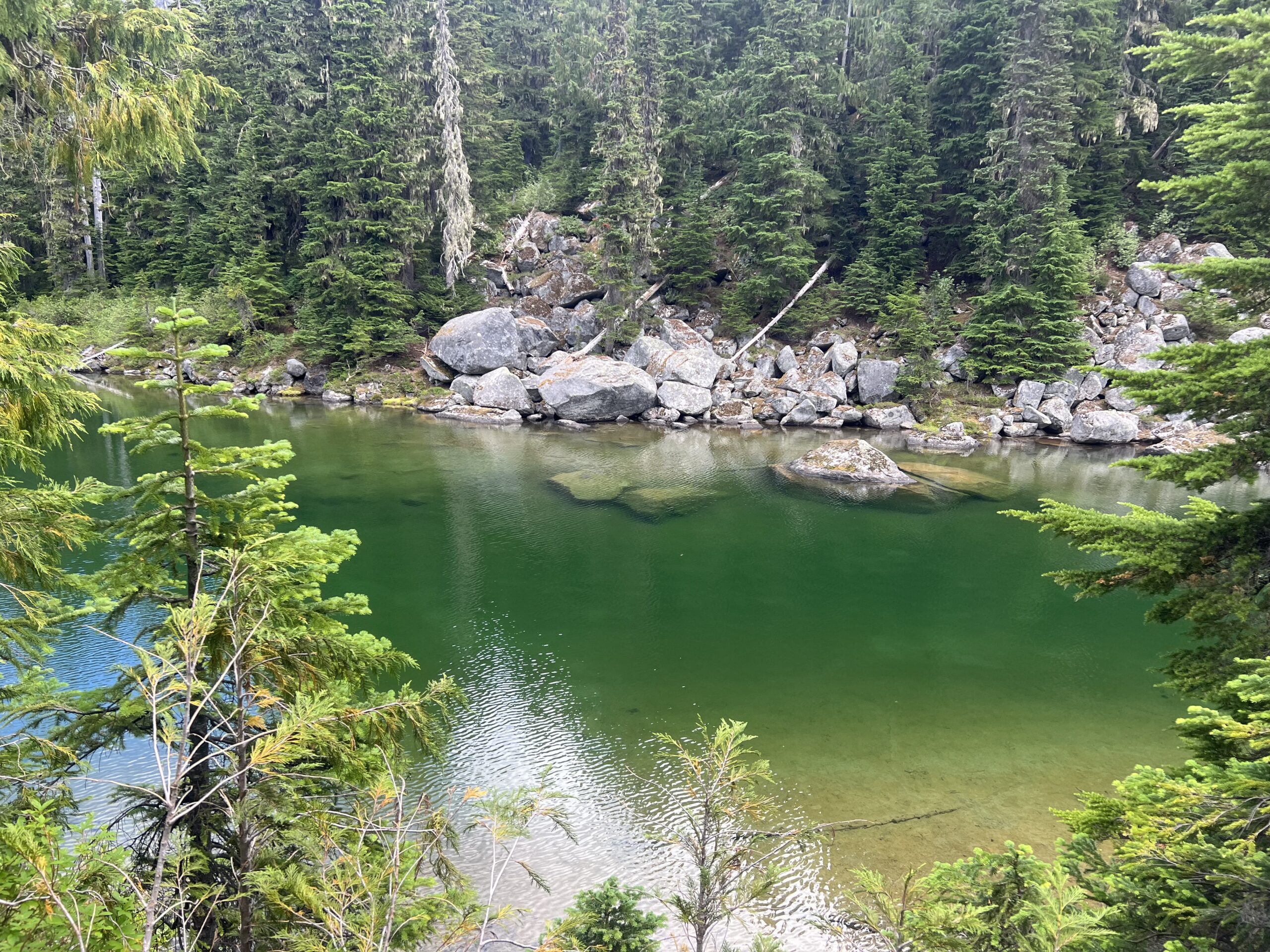
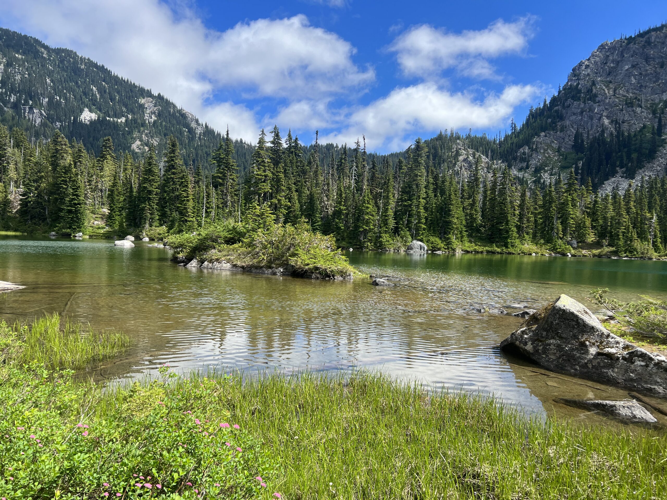
After getting to Piper Pass you start going down towards Glacier Lake. About a 3 mile descent. About a mile into the descent there is a campsite and I grab it. During the day there were a number of PCT’ers and locals that hoped for that campsite. Even into the night I could hear people come up to the campsite and make an unpleasant noise that it was taken. Sometimes it can be difficult when there are a lot of people and not very many good, level campsites.
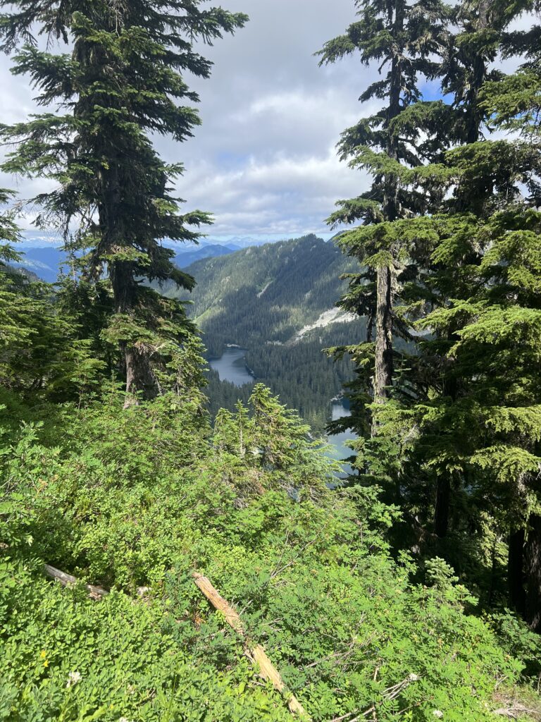
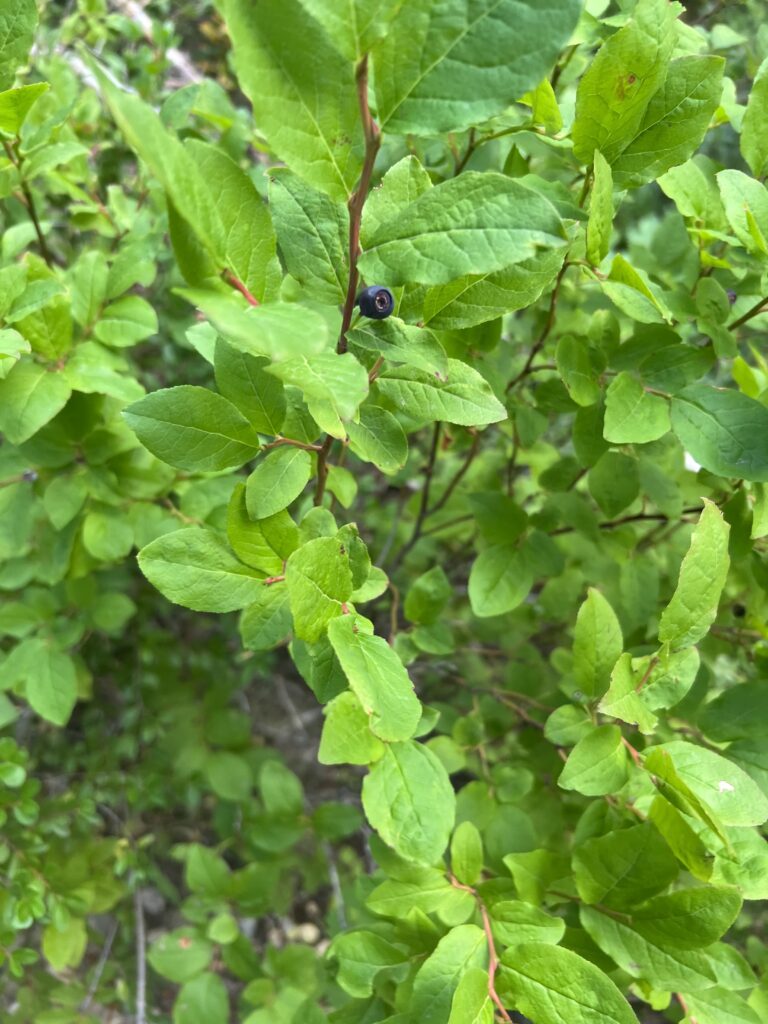
Feel pretty good after a good nights sleep and get started hiking about 5:30. At about 7 I come across some huckleberries on the side of the trail. It is the first time I have noticed any and I stop frequently and pick a handful to eat. Sadly they only last for about 1/2 mile and then disappear it. I keep looking and hoping but there are none to be found.
At about 9:30 I come to Spinola Creek which seems to be an outlet from nearby Deep Lake. It is not very deep. I figure I have no chance of actually making it across without getting my feet wet but I do manage to walk across on those rocks.
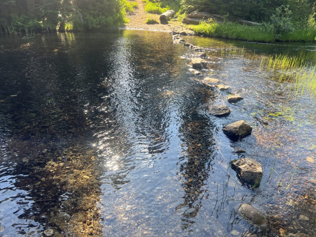
At about 12 noon I can hear the results of melting snow again. 2 streams roaring down the mountain.
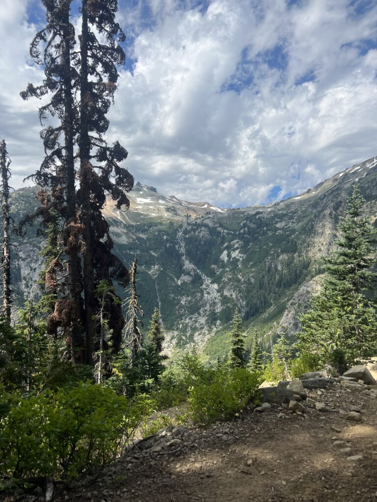
A little later I come to Peggys Pond. This is apparently a very popular site for PCT’ers and locals to spend some time. It does look very inviting.
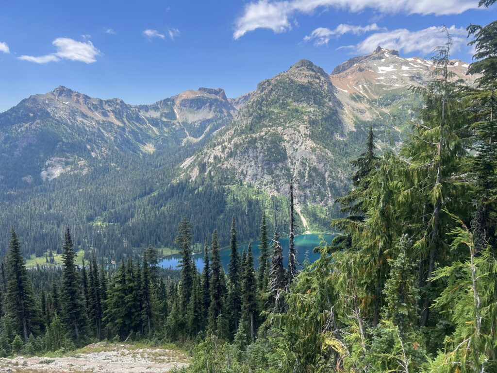
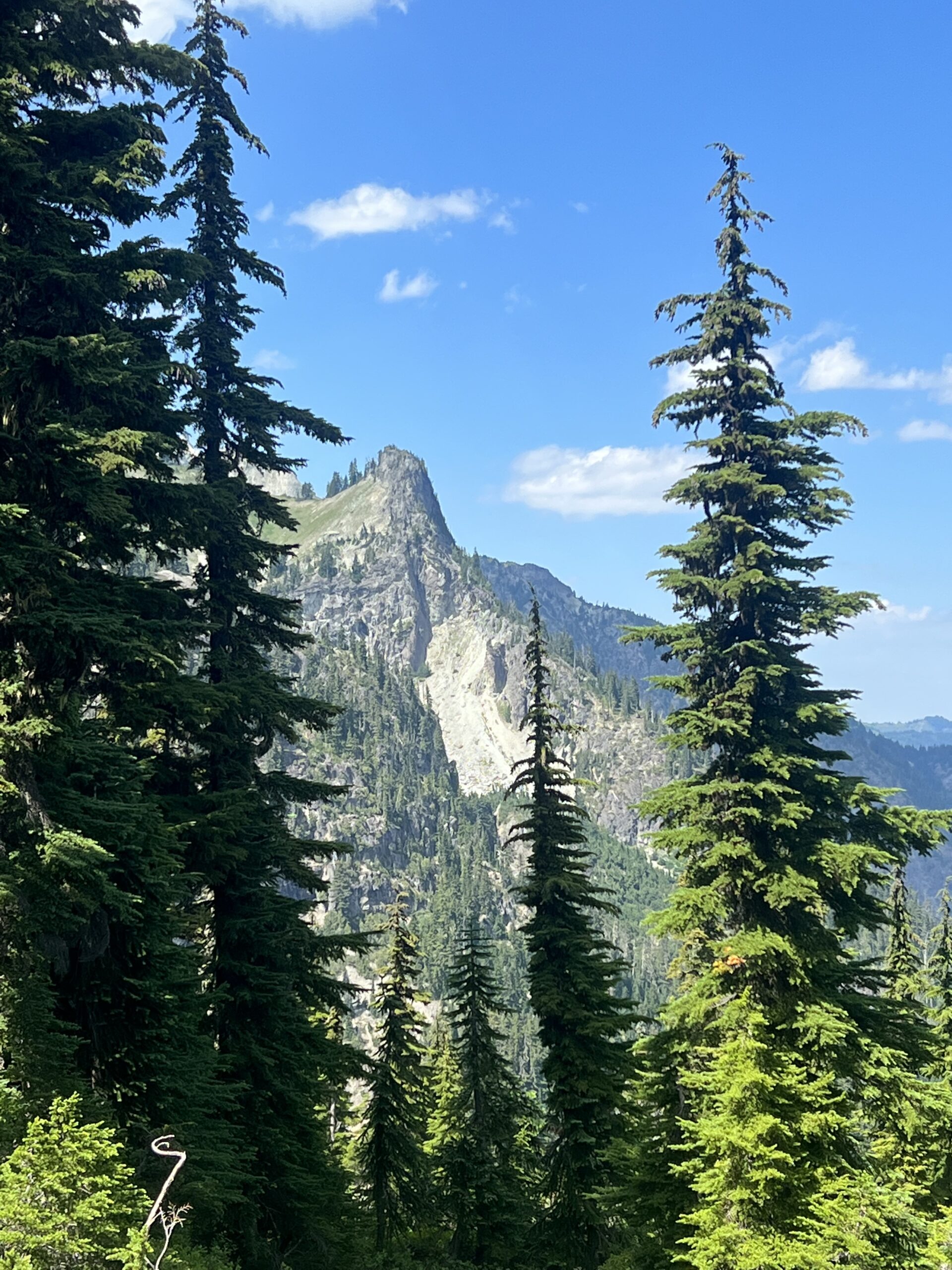
At about 2pm I stop and take 3 pictures of the scenery around me. Just a little different view from the same spot. Around this time I meet a couple that is doing the PCT from north to south. The guy is named “Fly” and the girl is “Buffy the tick slayer”. The are fun to talk with and it turns out they have also done the AT. They also mention that the approach trail is very difficult.
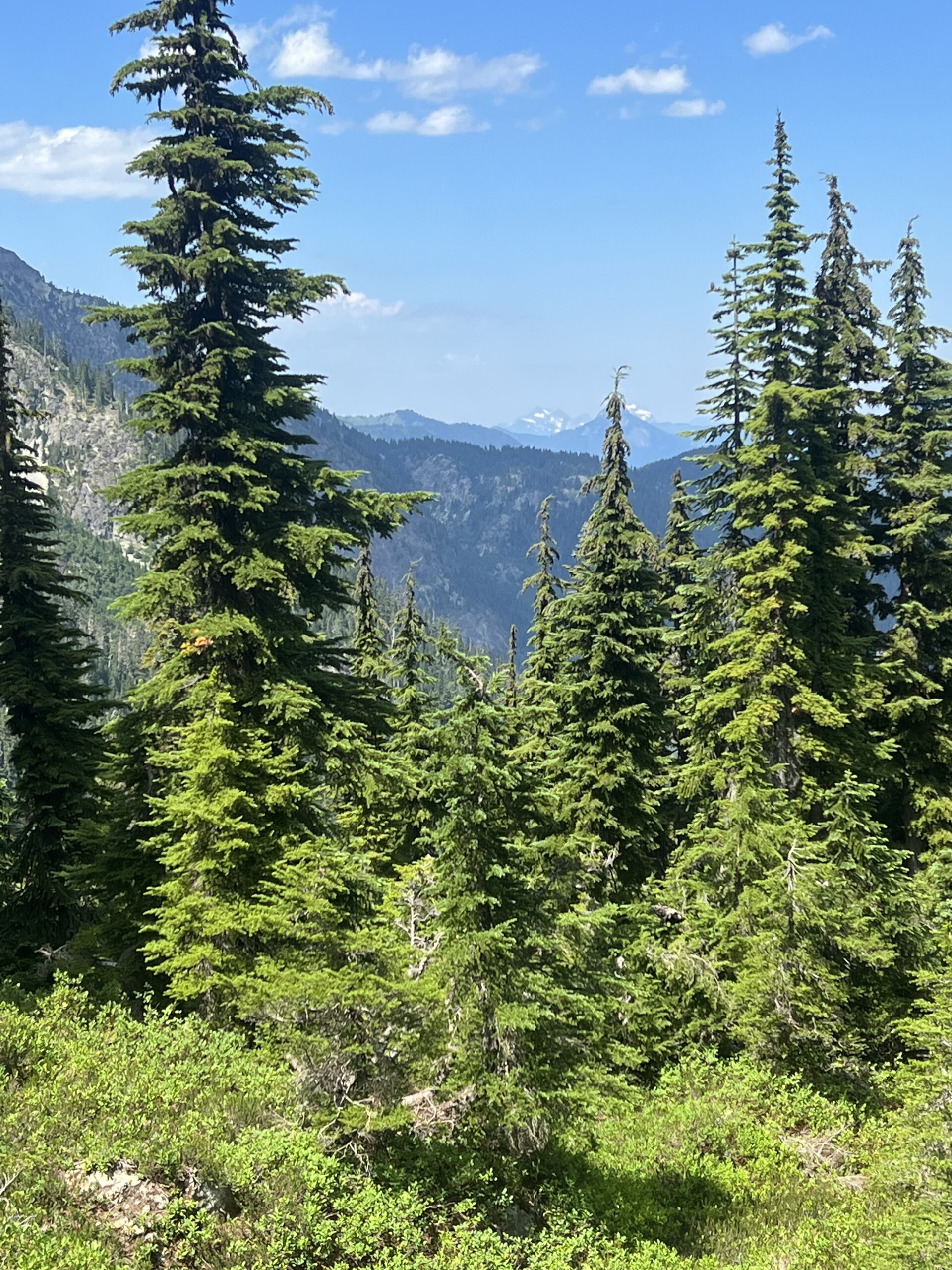
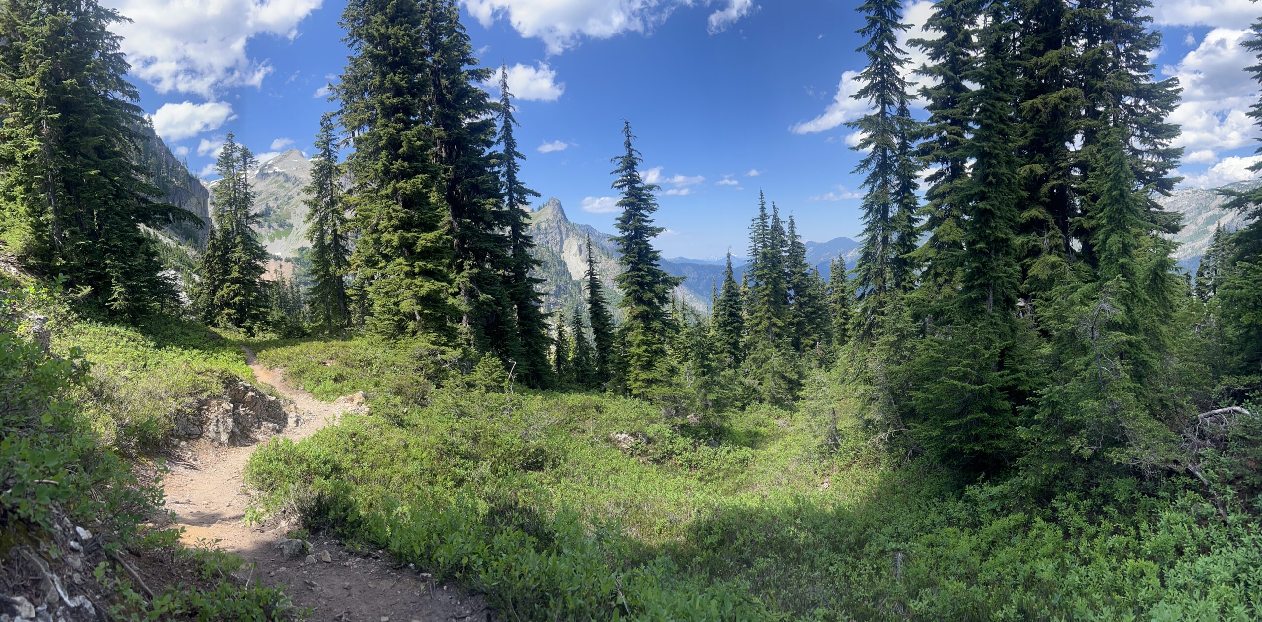
Again I stop at around 3pm. Reasonable good campsite even though it is by a dry creek bed and a scene of utter destruction. It almost appears a landslide has occurred here. Perhaps an avalanche. Trees strewn all over the place. 10 mile day.
Awakened about 2am last night by thunder and lightning. Really quite a show. It rained a little but no much and then half of the day today it will be a slow drizzle but nothing serious. I did have to wear a rain jacket and covered by pack with a rain sack to keep everything dry. The cloud cover and little bit of rain is actually nice. Makes the hiking a little easier.
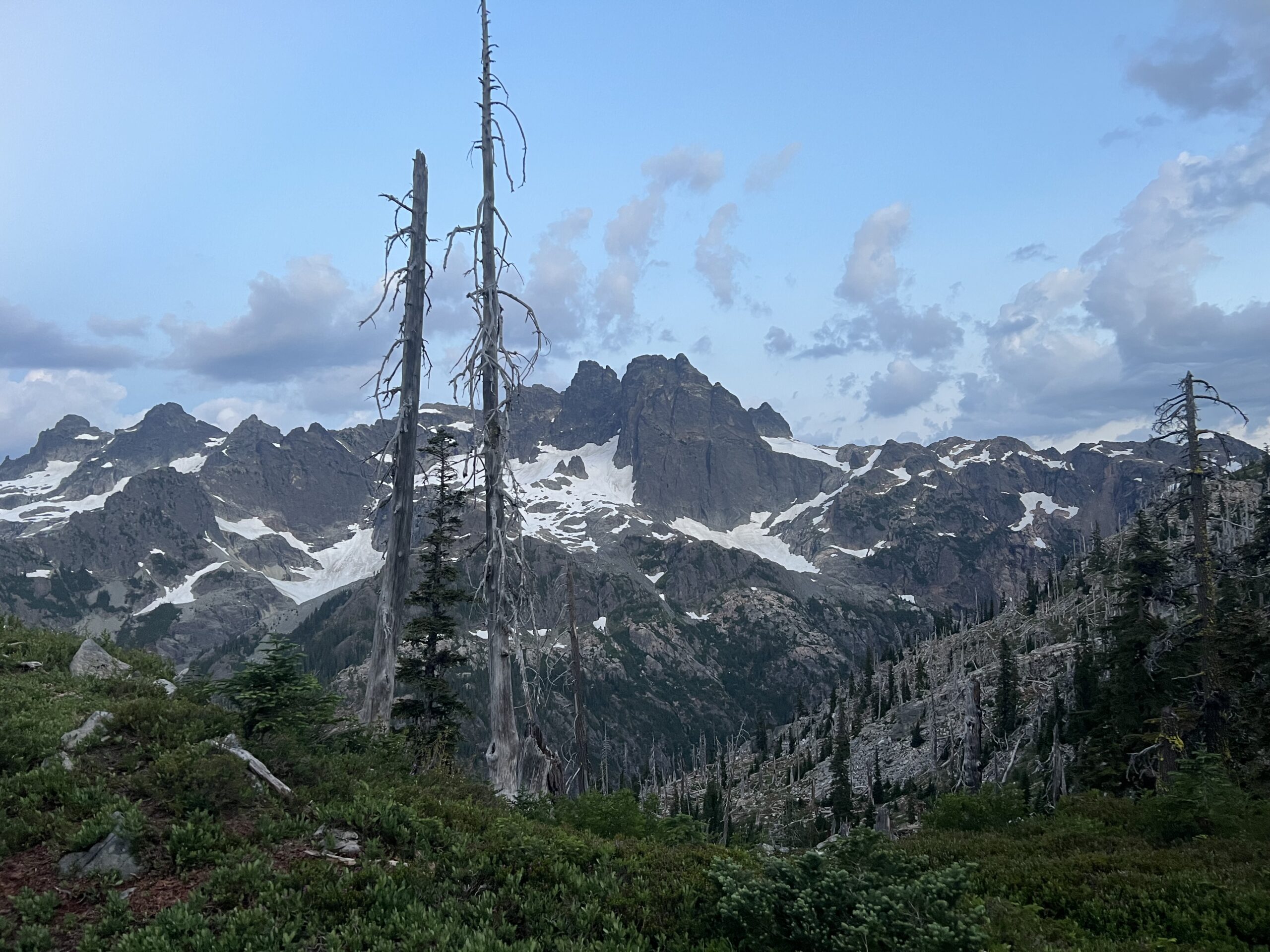
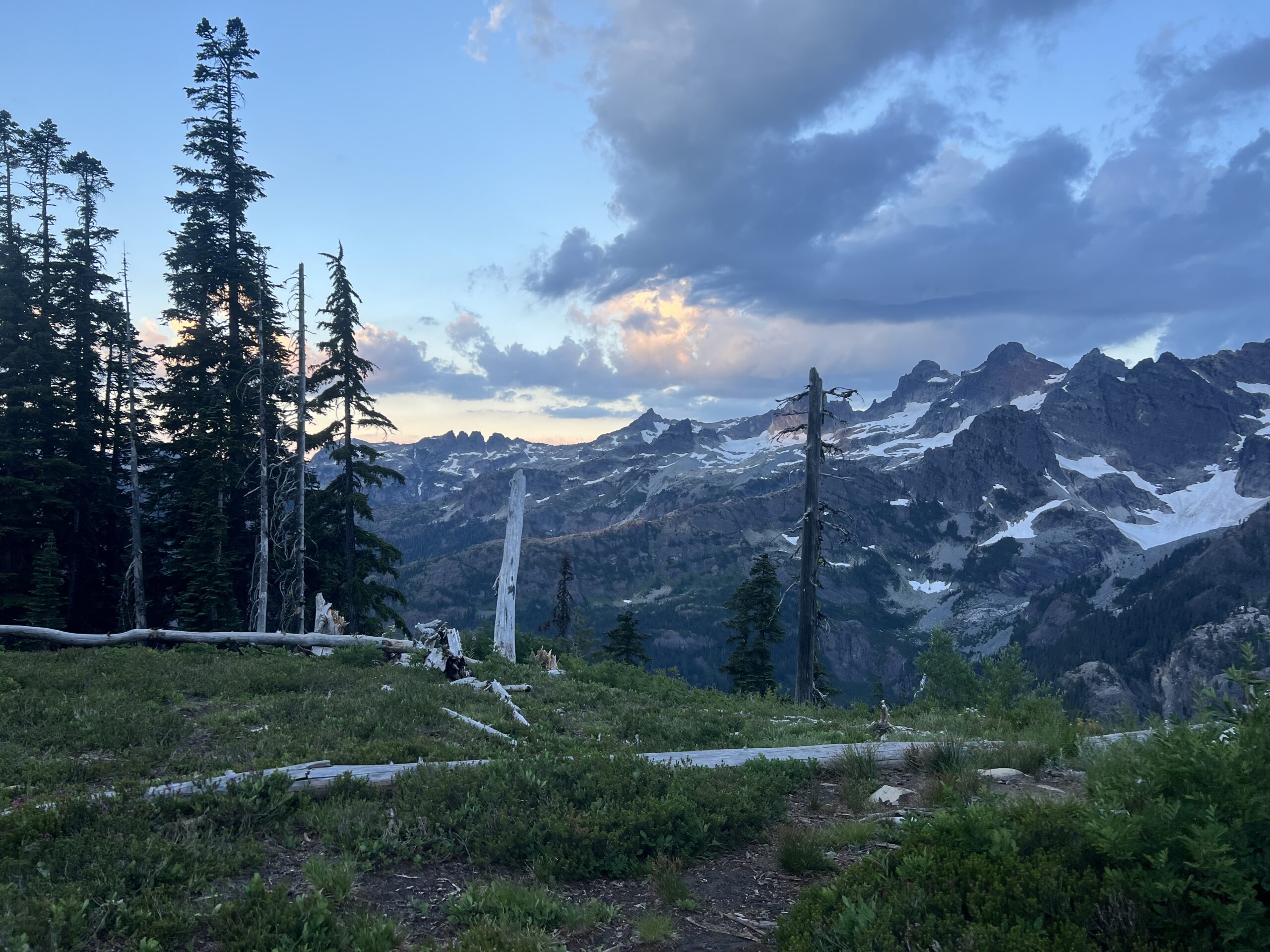
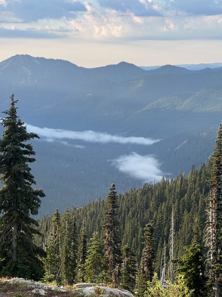
Meet a PCT hiker by one of the streams I stopped at. Her trail name is OneStep. She is 75 years old and has Washington to do in order to complete the PCT. She has also done the Appalachian Trail, she mentioned how difficult the AT approach trail was from Amicalola Falls to Springer Mountain. She blew right by me.
The day clears up around noon and all the rain gear comes off.
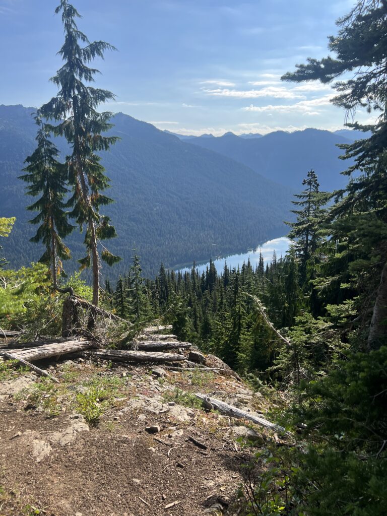
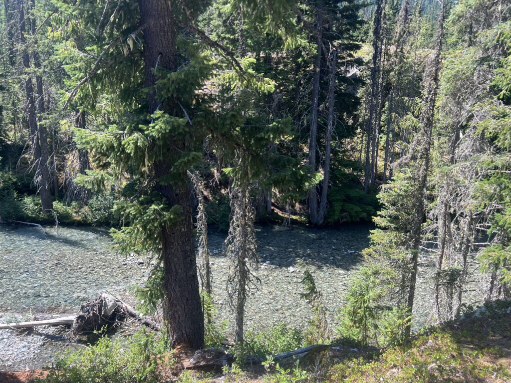
I stop at about 3pm. Pretty early but I need the rest even though just 10 mile day.
Being probably as tired as I have ever been, I had a good nights sleep. Felt much better in the morning than I had the night before and decided against breaking my arm for an emergency evacuation. As you can see in the pictures below the view from my camp was pretty good.
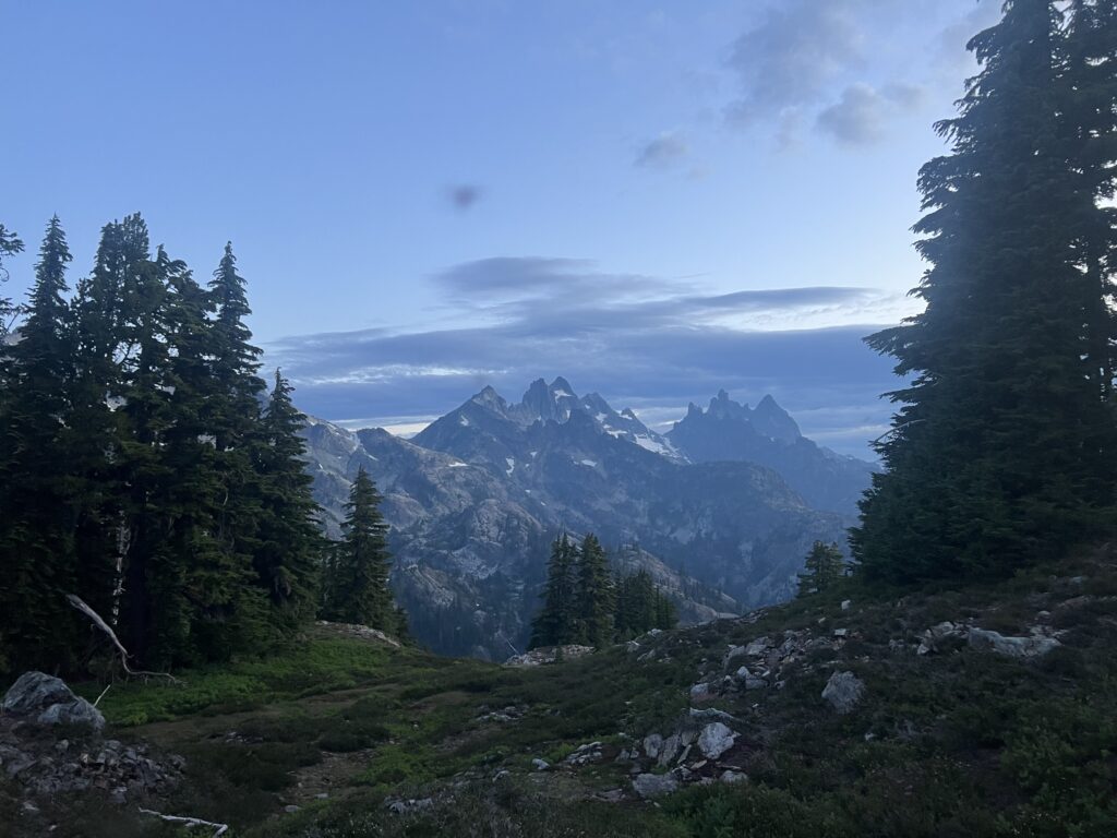
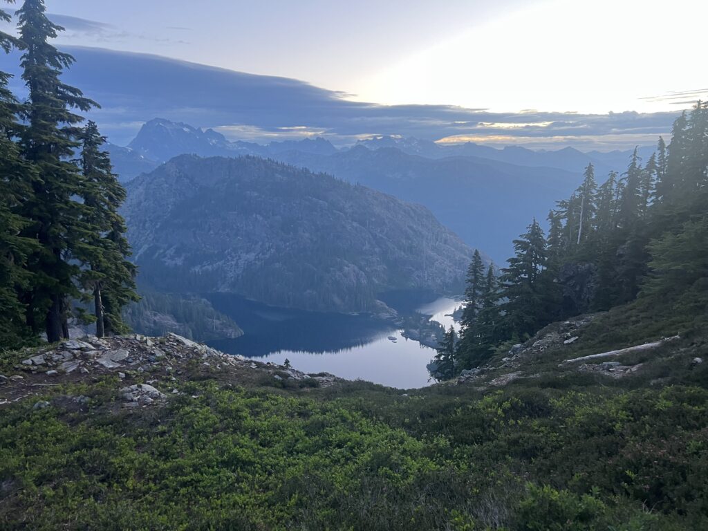
A half hour of hiking and I still have a good view of Spectacle Lake.
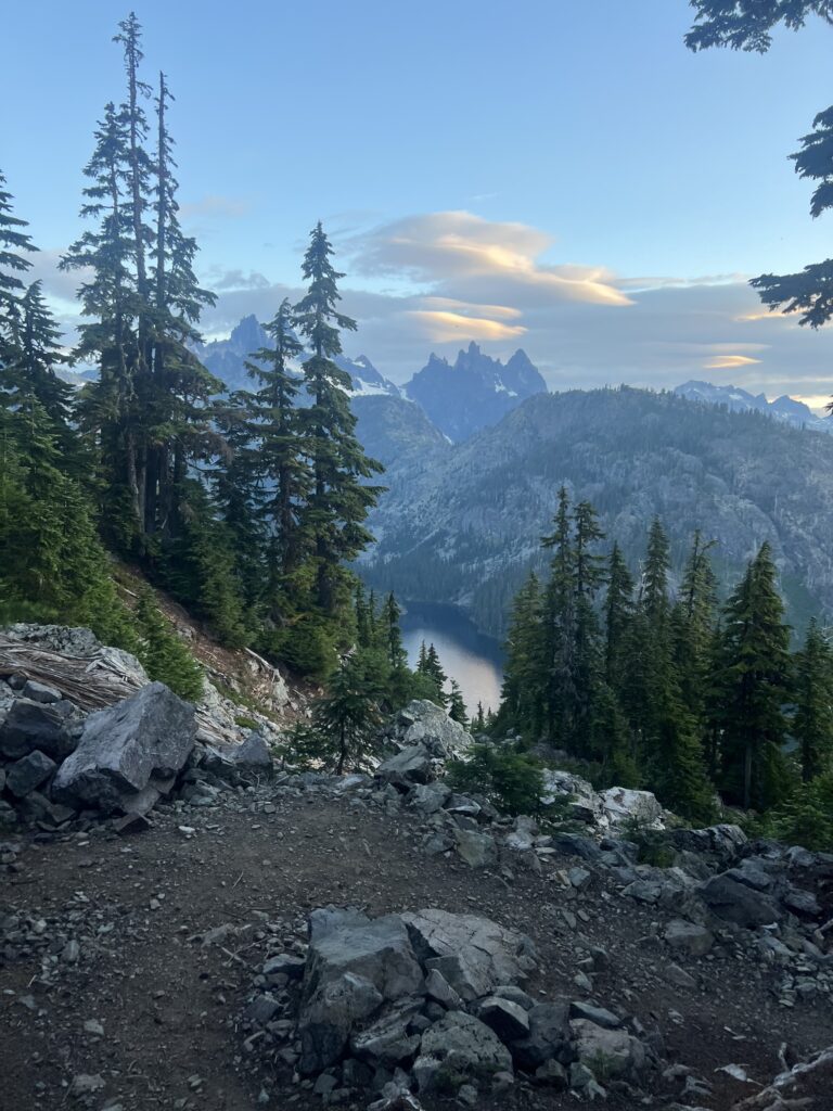
At about 8, I make it to Delate Creek and falls. Stop here for a snack and some water. While I am resting a couple comes in and stops to rest as well. They are going the same direction as I am and are just doing the hike from Snoqualmie to Stevens Pass. Turns out a lot of people just do this hike because the spectacular scenery. The guy tells me that according to his guide book we are mostly finished with the loose rocks. That is very good to hear.
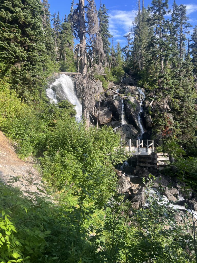
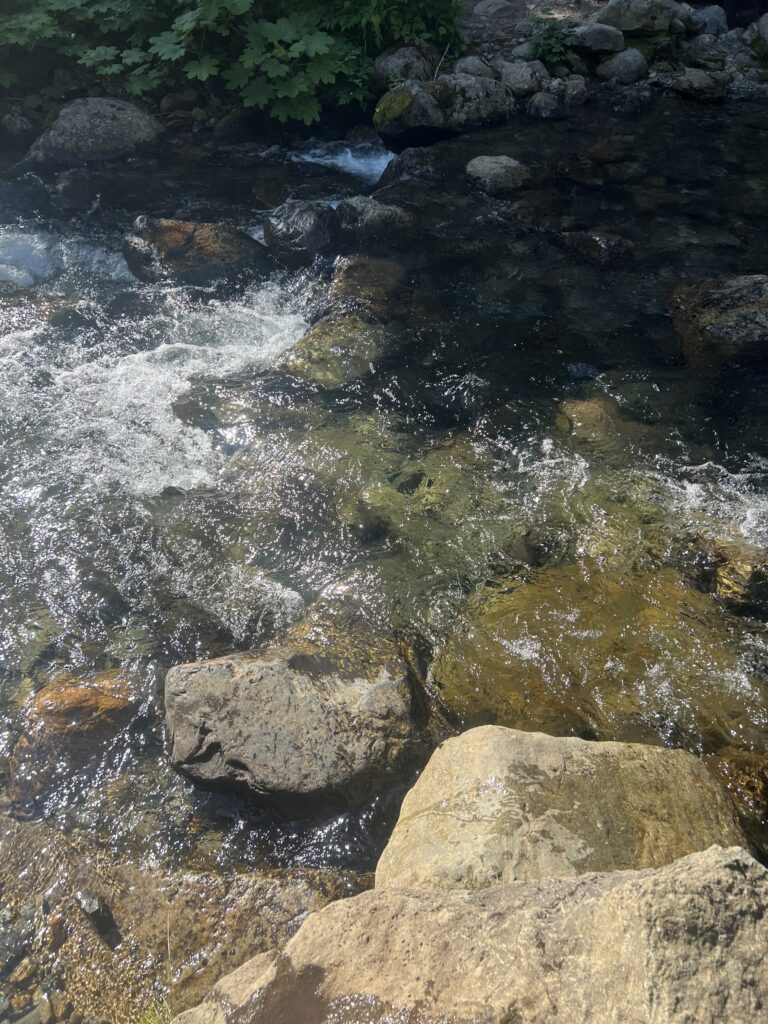
Another 1.5 hours on I get to Lehman Creek. It is fairly large and usually has a bridge but the bridge has been washed out. It is flowing pretty fast but really no danger carefully walking across which is what I do.
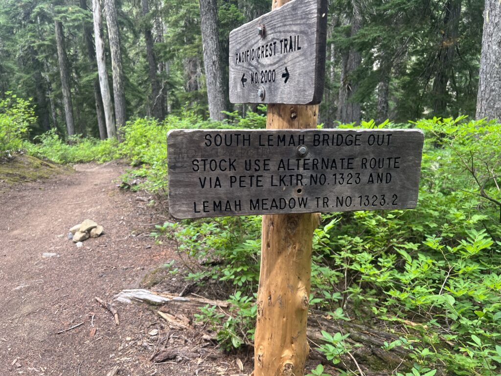
About an hour later I come across this sign to validate I am still on the PCT and to let me know the bridge is out. Of course that is good information for people going south which I guess is the direction most stock travels??
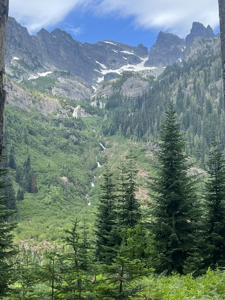
Around 11 the noise from the stream is really quite impressive. Snow is melting pretty fast these days with the heat and rain.
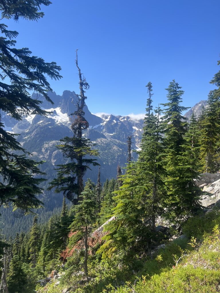
Around 3pm I notice the clouds trying to come on over the mountains. There always seems to be thunder in this area. I’m always thinking it is going to rain but so far nothing to speak of has happened.
At 5 o’clock, I’m crawling under trees.
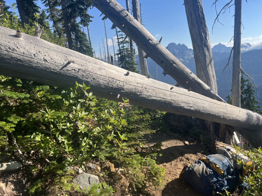
Hike until about 5:30. 11 mile today.
I had a good nights sleep and wake up at the usual time. I starting getting out of night clothes and into hiking cloths, and getting everything done inside the tent that I can do and am about ready to get outside and finish the packing when suddenly rain starts hitting the tent. Rain was not expected today, it was in the forecast for tomorrow. Now, I have heard to can’t wait out the rain in Washington unless you want to wait for a couple days! BUT, I decide to give it a few minutes and I just lie back down with my head on my pack. Turns out this time, waiting worked. After about 10 minutes the rain stopped and the only thing that got wet was the rain cover for my tent. I started out having no clue how far I was going to get. As far as I could was my only thought.
Turns out my day would consist of going up and over and down 3 peaks. The average grade of 11%. With long sections of 14 to 16%. Also this was going to be done on flat rocks that move under your feet. For me, every step up or down was an adventure and a slow one. I end up hiking for 9 miles and taking 10 hours. At the end of the day I texted Lenora and Martha indicating the day was ridiculously difficult. I was really, really down at how slow I was. After 2 days, I had done 17 miles. I needed to do 57 more miles to get to Stevens Pass. Certainly my goal of 5 days would not be met. BUT, I knew that I was not going to turn around. I was never going to do the 9 miles I did today again. Going forward was the only option. Well, not the only option. I thought about deliberately breaking my arm and then calling for an emergency evacuation. A helicopter could definitely get to my location.
It was a hard hike. But it was beautiful and while I was stopped and gasping for air I took a couple pictures and videos.
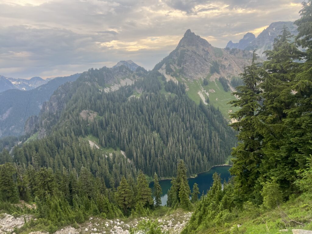
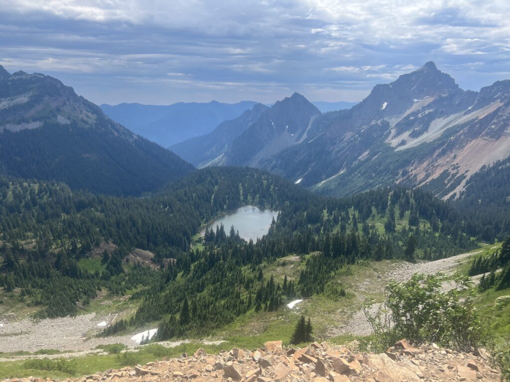
A rare moment when the trail was not rock and the Sooty Grouse was taking advantage of it.

I stop at a small pond near the top of an ascent. It has some decent camp sites and the small pond has good water.
So we made it from Tucson to Phoenix to Seattle. Saw a couple baseball games and now it is time to do the Snoqualmie to Stevens Pass section. As you can see from picture bellow it is 74 miles and there really is no option for pickup. Truly a wilderness journey. I was thinking it would take me 5 days but I took supplies for 7 days to be safe. Good thing I did. It ends up taking me 8 days.
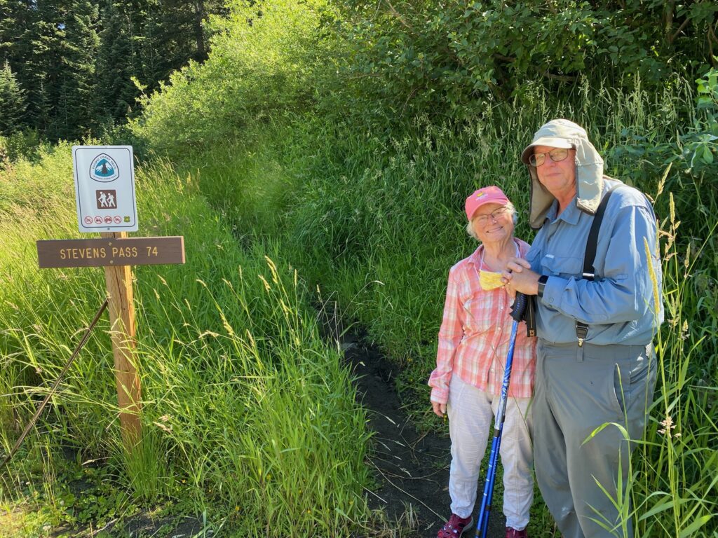
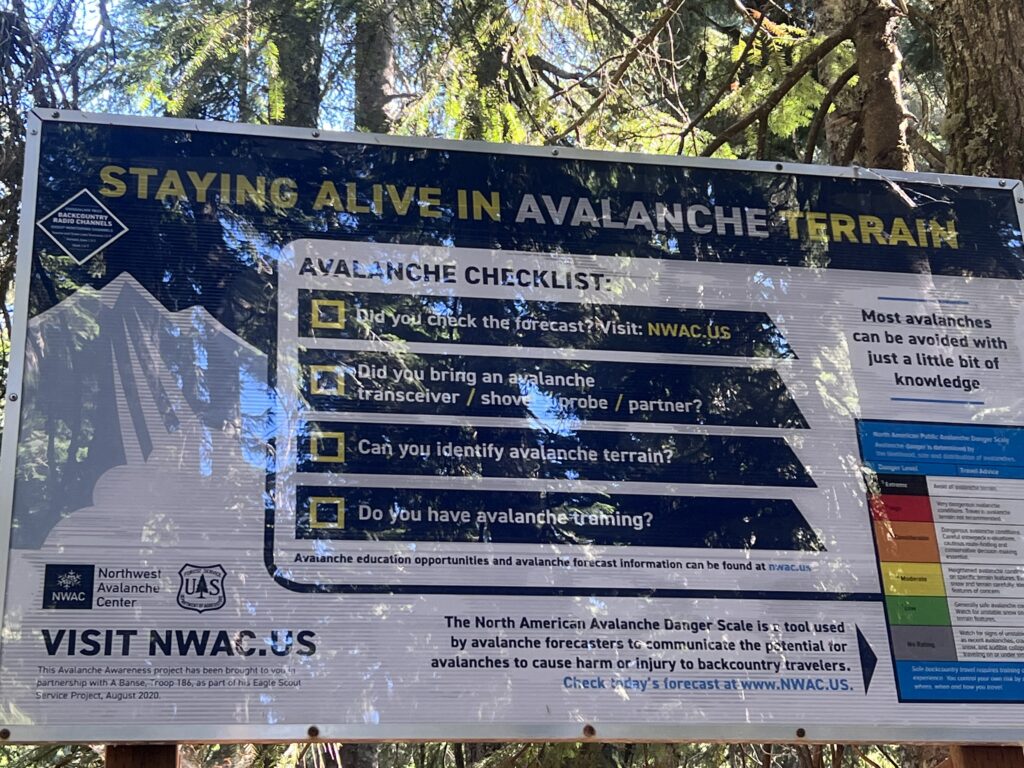
The actual trailhead is about .2 of a mile up the trail and they have a sign about Avalanche awareness and preparation. I can answer all their questions with a NO but I’m also not concerned about an avalanche. There is not a large amount of snow this time of year.
About 10 minutes into the hike I get to my first stream. I am hoping for many more. Nice to be out of the desert and not have to worry about carrying pounds of water.
Met a local along the way and I told him I was trying to get to Ridge Lake today and he indicated there were 3 parts to that journey. The first part was the the nice forest path we were currently on, the second part was the very rocky and very difficult glissades and he pointed up the mountain, the third part was the less steep but no less rocky trail to Ridge Lake.
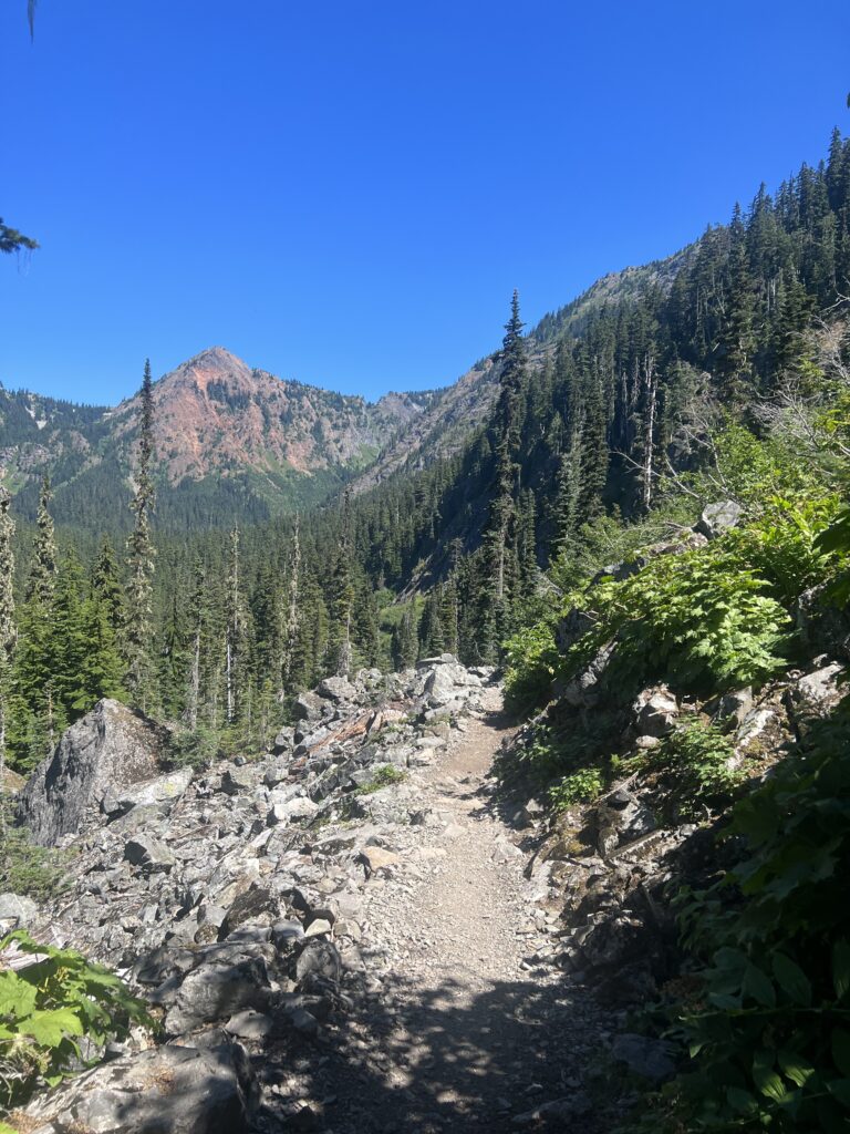
After about a hour and half I get to the Alpine Lakes Wilderness within the Mt. Baker-Snoqualmie National Forest. The Alpine Lakes Wilderness is also in the Wenatchee National Forest.
President Ford signed the Alpine Lakes Area Management Act into law on the afternoon of July 12, 1976, reportedly saying “anywhere so beautiful should be preserved.”
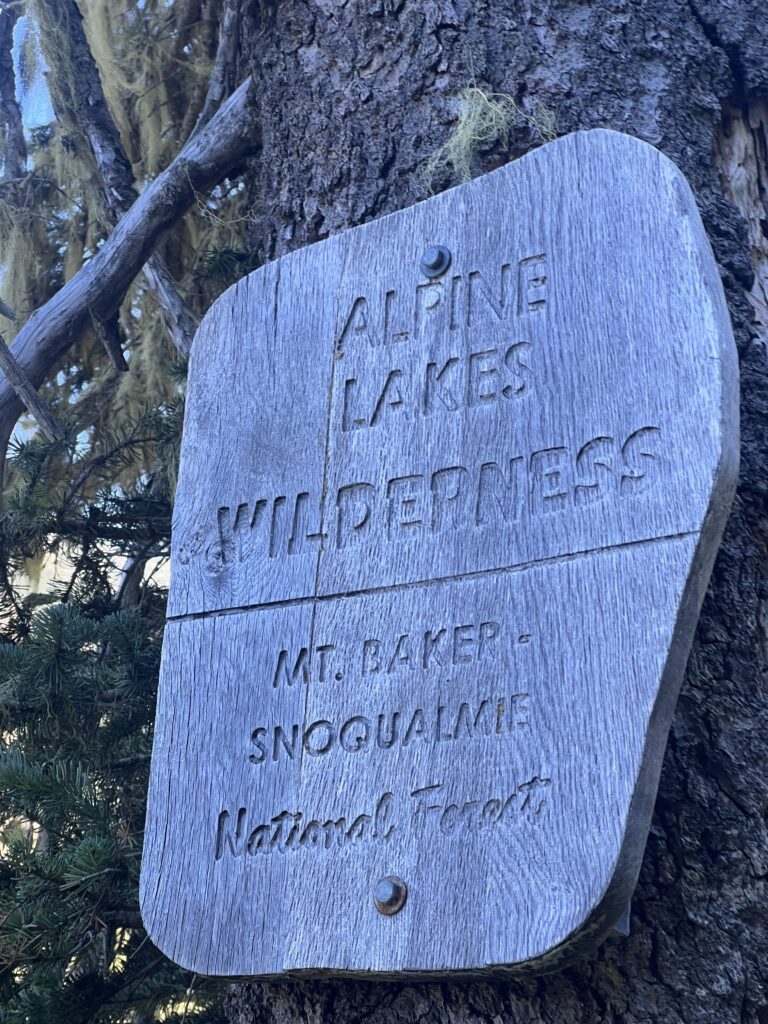
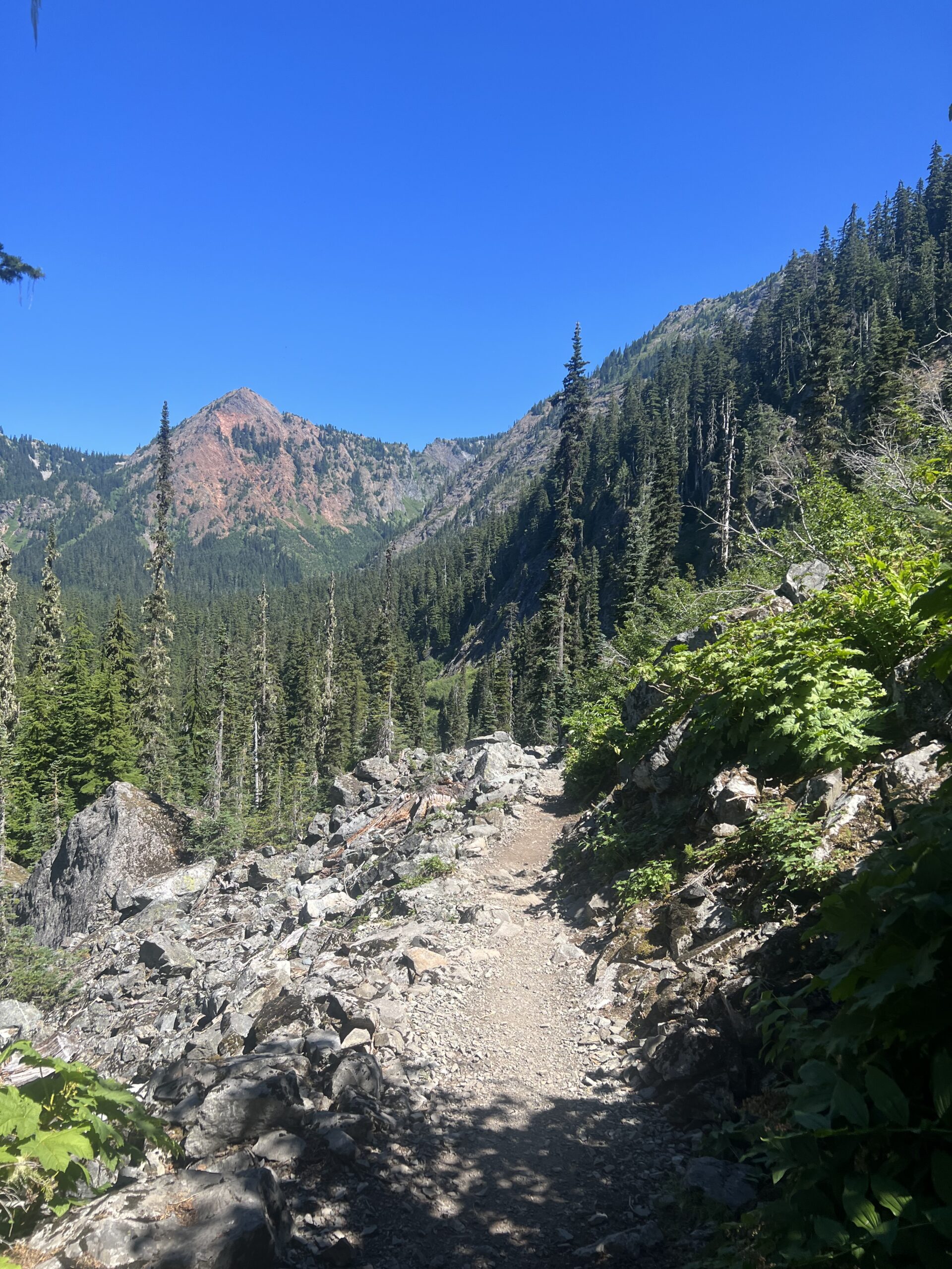
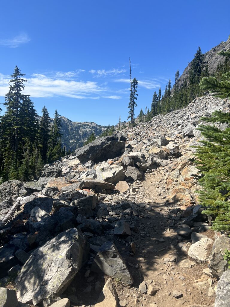
These darn rocks move. They don’t just sit there and look pretty. You step on them, they wiggle, they slide.
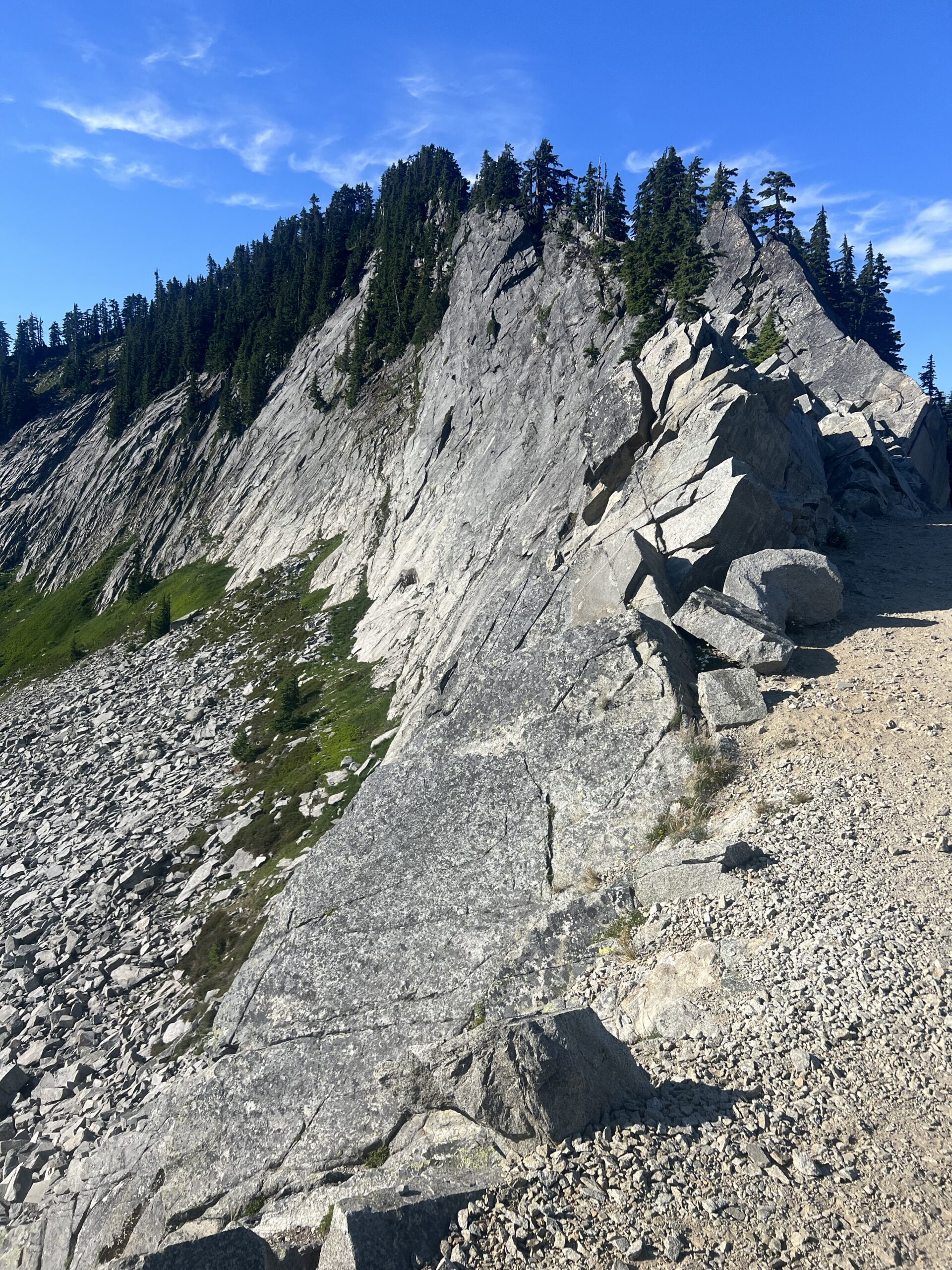
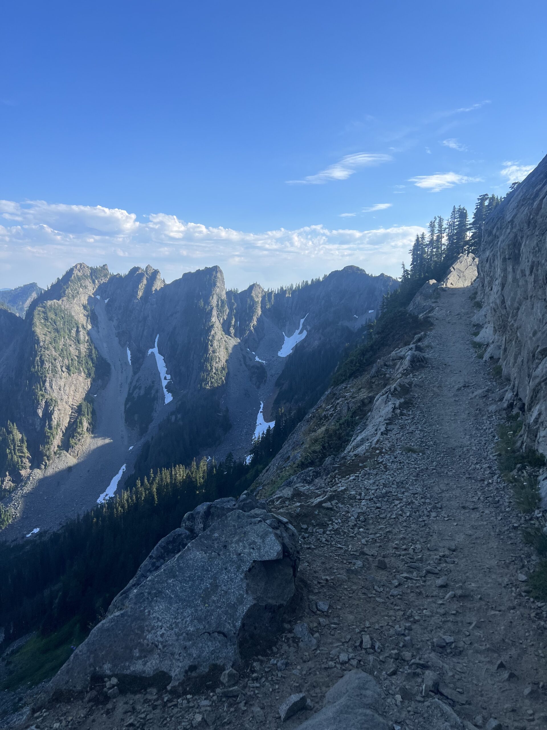
About 5:30 pm I get to the Kendall Catwalk. It is a pretty short walk where some people want to cling to the mountain for fear of falling off. Actually the trail right here is wider than most of the other trail but the sheer fall on one side and the sheer mountain on the other can make it look intimidating. At least the path was not all that rocky here. Now you add those slippery moving rocks to the trail here and you might have something.
At about 6 o’clock at night I get to Ridge Lake and set up camp. 7 miles in 6 hours. Most of it was ascending and I actually suck at ascending.
