I mentioned my campsite looked like a disaster area. Below is a picture that just partially captures it. The trees were down everywhere. It was not even clear when the PCT trail was. There were 6 of us there that spent a fair amount of time locating where the trail continued.
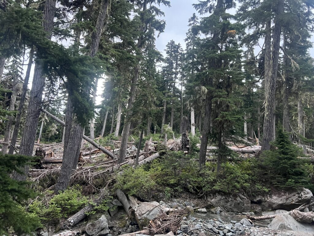
I also mentioned it was a dry creek bed. It was dry but sometime in the middle of the night I started hearing water and in the morning I woke up to a full blown stream right by my tent. Snow melt and perhaps rain and bam, you have yourself a stream.
I start the day about 6 and by 7 I am at the “Cascading Stream” I have been warned about almost every day. Everyone said they were able to cross is fairly easy and one said he did not even get his boots wet. When I get their, there is no way to cross this without getting wet. When I get their, I’m not even sure there is a way to cross it. All I know is that I will somehow cross it because I am not going back. Basically what is going on here is the PCT comes to this side of the canyon. Over on the other side of the canyon you can see where the trail continues. How to get from point A to point B is up to you.
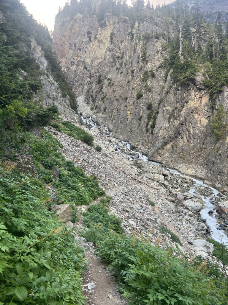
I spend about an hour trying to get across this stream. I figured there is not way I cross up high. The stream is too fast. The stream empties into a valley that is quite close and I start bushwhacking my way down but looking ahead it appears to be a cliff that I can’t get down. So I turn around and go back up to a point that looks possible and I get about half way across but reach a point where the flow is too strong for me to continue. While standing there I look down and with a better view of the way down I figure I can get down the cliff to where I can cross the stream. So I go back and start going down again and indeed do find a way off the cliff and down to the valley. I cross the stream and then work my way back up on the other side and back onto the trail. Exhausting.
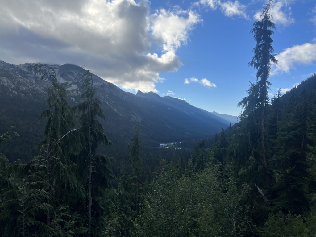
I start walking along the trail and happen to look back to see the beautiful valley that “Cascading Stream” was flowing into.
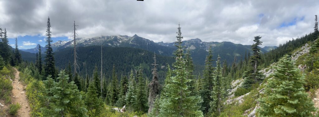
2 hours later, I am captivated by the view and try to capture it in a panorama picture.
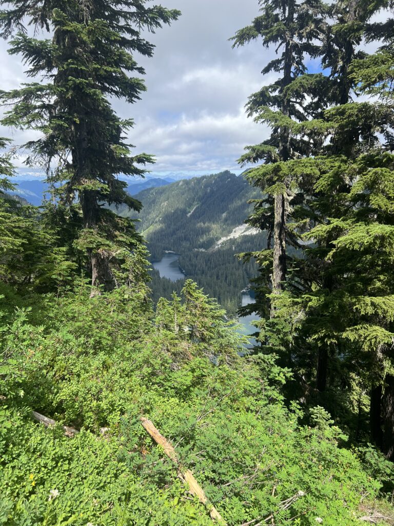
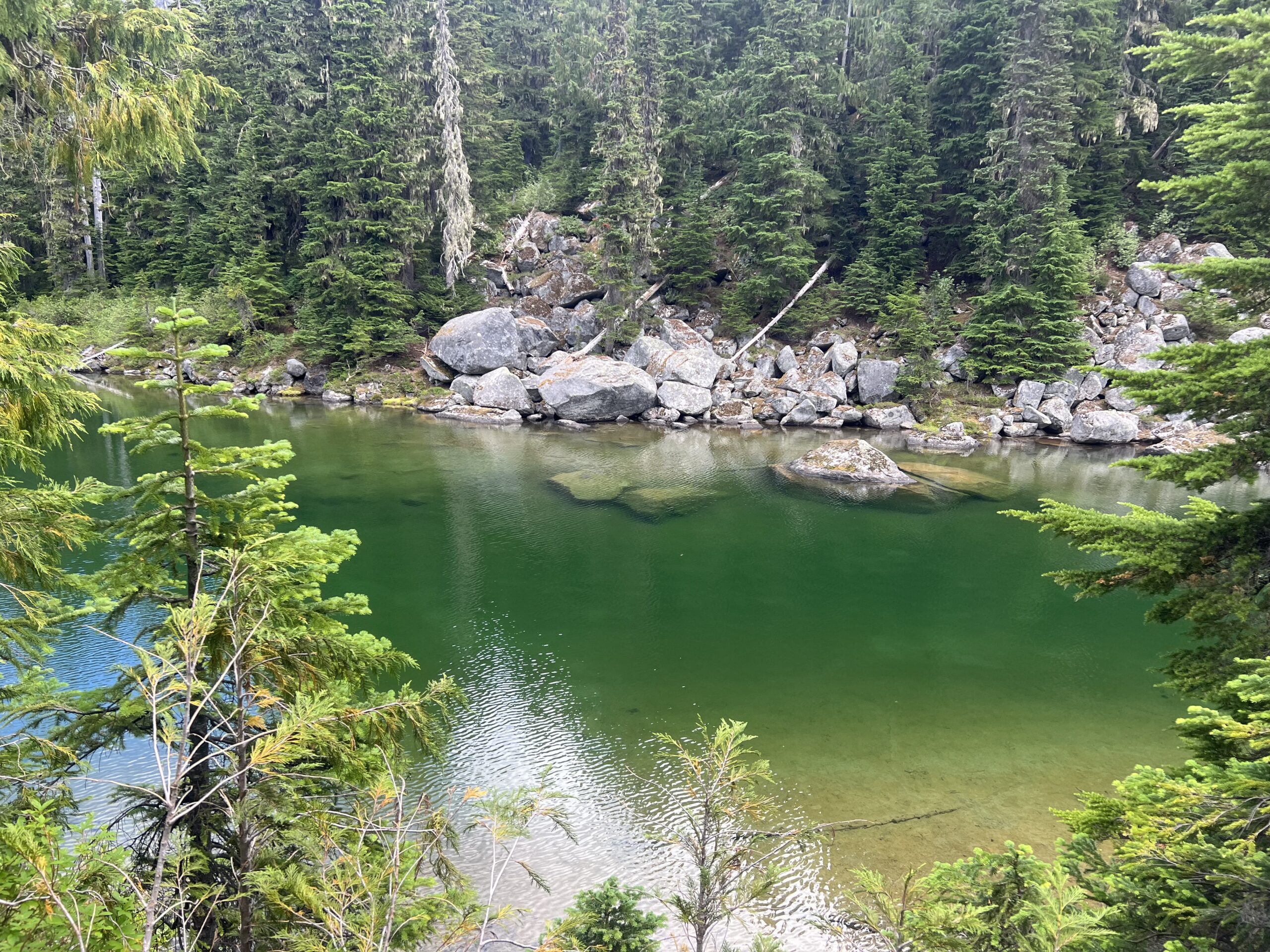
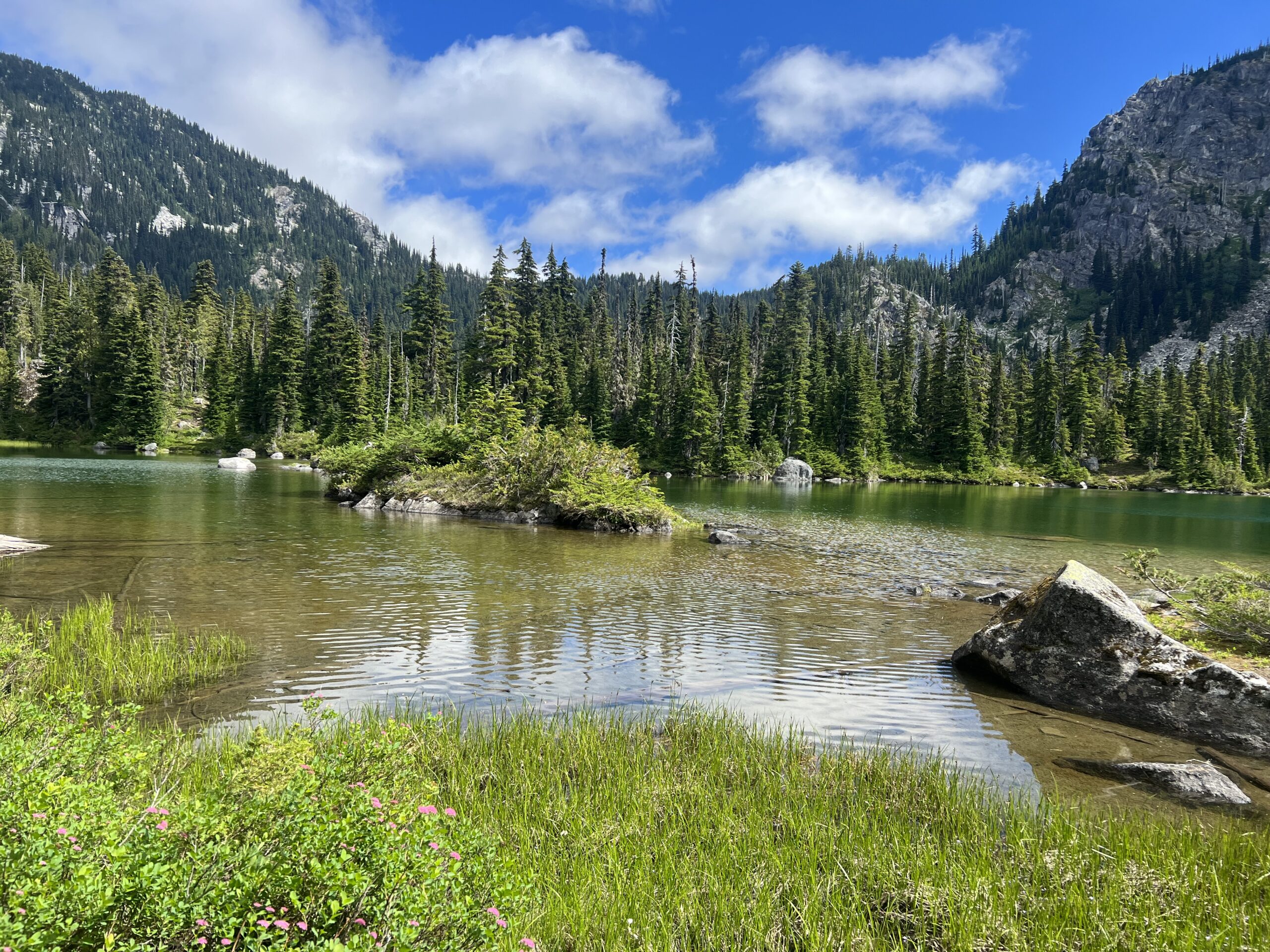
An hour later I am at Deception Lake. Pretty area and the trail goes right along the lake and then heads up. Actually been heading up for about a mile at this point but will go up fairly steeply for another 3 miles to Piper Pass.
After getting to Piper Pass you start going down towards Glacier Lake. About a 3 mile descent. About a mile into the descent there is a campsite and I grab it. During the day there were a number of PCT’ers and locals that hoped for that campsite. Even into the night I could hear people come up to the campsite and make an unpleasant noise that it was taken. Sometimes it can be difficult when there are a lot of people and not very many good, level campsites.
