I sleep a hour later than usual but put a rush on to get packed up and moving. The smoke was really thick all night and I want to get out of here. Just not healthy to be sucking in all this smoke. I head out towards Blue Lake and run into tree after tree after tree being down on the trail. For each one I have to find a way around the tree(s). A couple images.
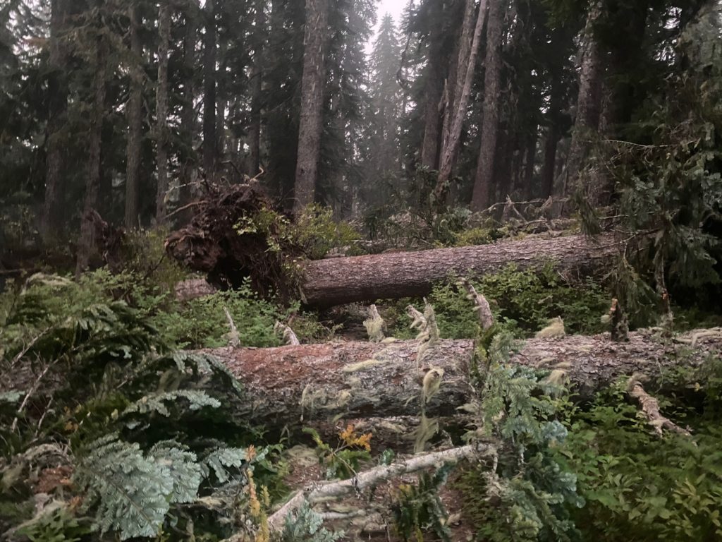
PCT 2207 to 2198. Downed trees 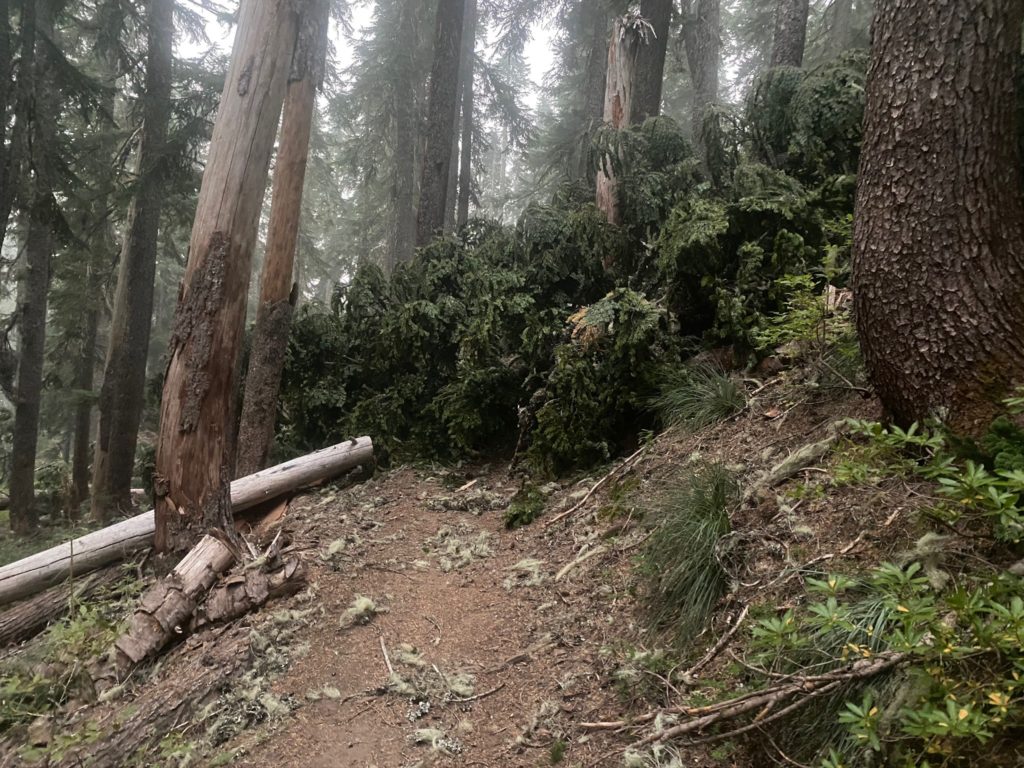
PCT 2207 to 2198. Downed trees
I finally get to Blue Lake. A very long 2 mile hike because of the trees on the trail. I decide to stop and have my breakfast. As I am eating, Paul comes from the camping area and expresses how happy he is too see me. Says he has not seen anyone for 12 hours and wonders if we were the only one not to get the message. He wants to hike together which I think is also a good idea. Strength in numbers. At this point we both plan on getting the Trout Creek and then have Martha and Matt get us out.
I look at the map and notice a trailhead that is about 10 miles away that I think Martha and Matt can get to. Trout creek is about 30 miles and would take us 2 days. I message Martha and Matt and Matt finds the location of the trailhead and indicates that they can get us there. Paul and I both decide the faster we can get out of here the better. We have no idea where the fire is but the fact that the place is deserted and the smoke is so heavy it is just not healthy to be out. Here are a couple pictures of the smoke two interesting looking “lakes” that are flagged as being water sources.
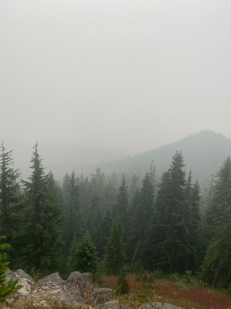
PCT 2207 to 2198. The view 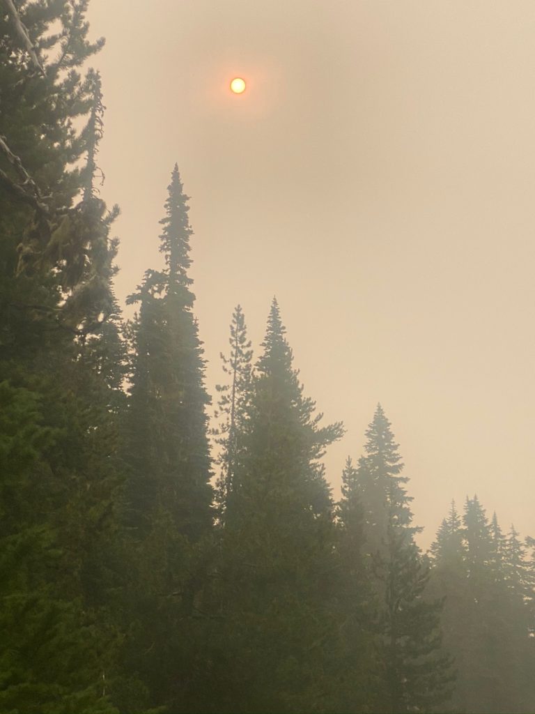
PCT 2207 to 2198. First view of sun in two days 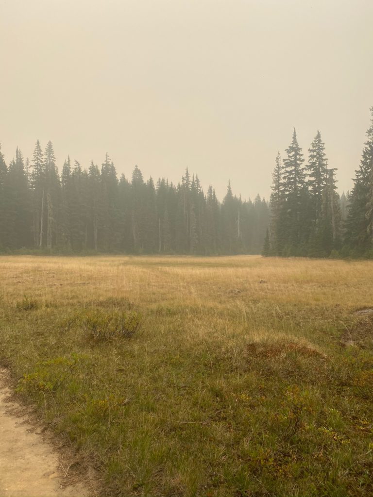
PCT 2207 to 2198. Meadow 
PCT 2207 to 2198. Water source. Green Lake 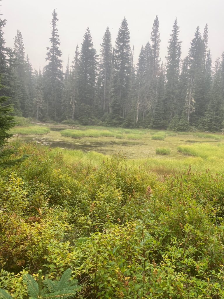
PCT 2207 to 2198. Water source. Sheep Lake
I meet a north bound PCT thru hiker named “Trooper” and we talk for awhile. He started the PCT on March 17th which is pretty early. I asked if he got past Mount San Jacinto in southern California before the big storms. He said that he got there a week after the young PCT hiker fell to his death and the place was still treacherous. That he slipped and thought he was going to fall to his death but caught himself and after a nights pause in the nearby town of Idlewyld went back up and was able to finish. He said one other time he thought he was going to die was in the High Sierras where he was traversing some ice and his spikes were not able to penetrate it and he slipped and again thought it was over, but caught himself. He gave God credit for saving his life both times. I told him that I saw God everywhere on the PCT and asked him about that and he agreed. He said one of the reasons he was hiking the trail was to see Gods creation before it was all gone. He told me Oregon was an almost totally burned out area on the PCT. Said it was a bit of a depressing place to hike. Burned forests and lava flows. I told him he had some majestic views ahead of him and hoped the smoke cleared so he could see them.
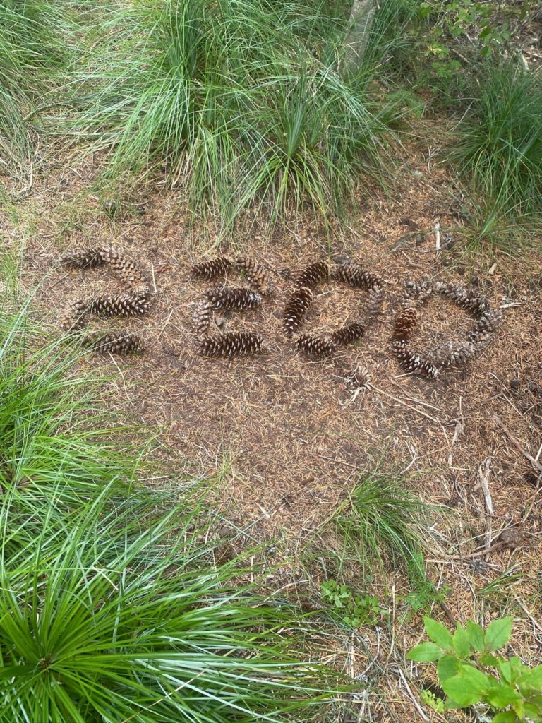
Just before we get to the trailhead extraction point, I do see one thing that makes me smile. Someone took the time to record a milestone in their progress with pine cones.
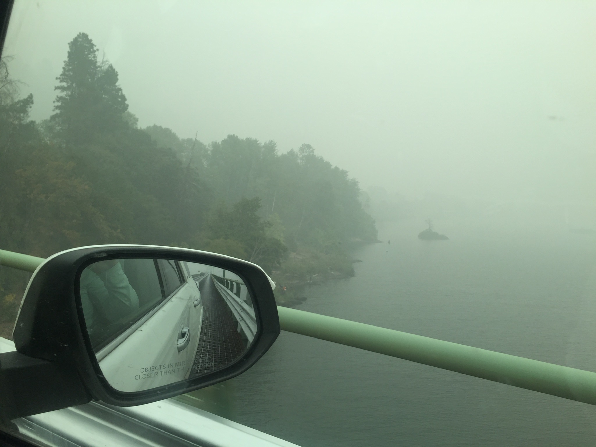
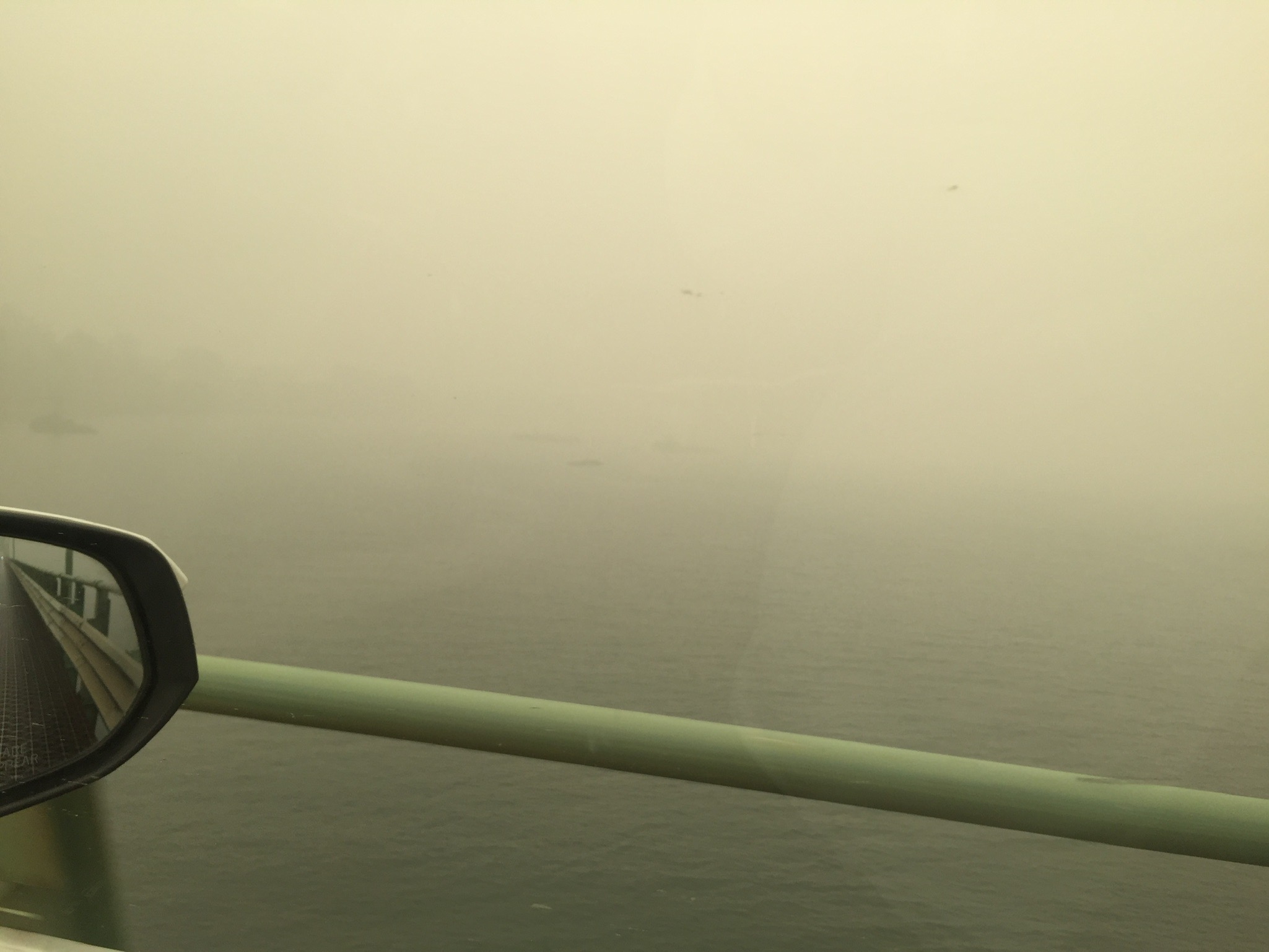
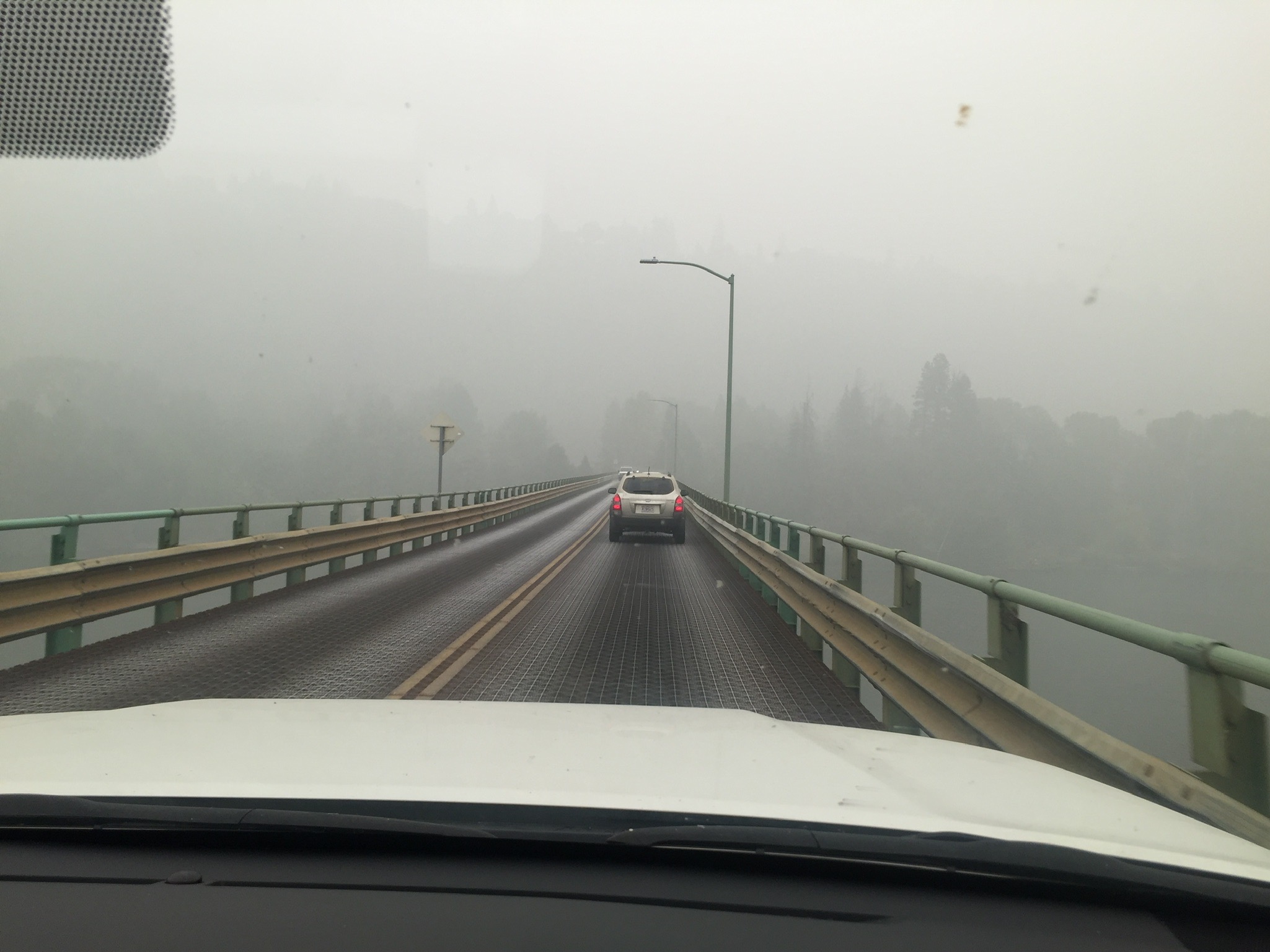
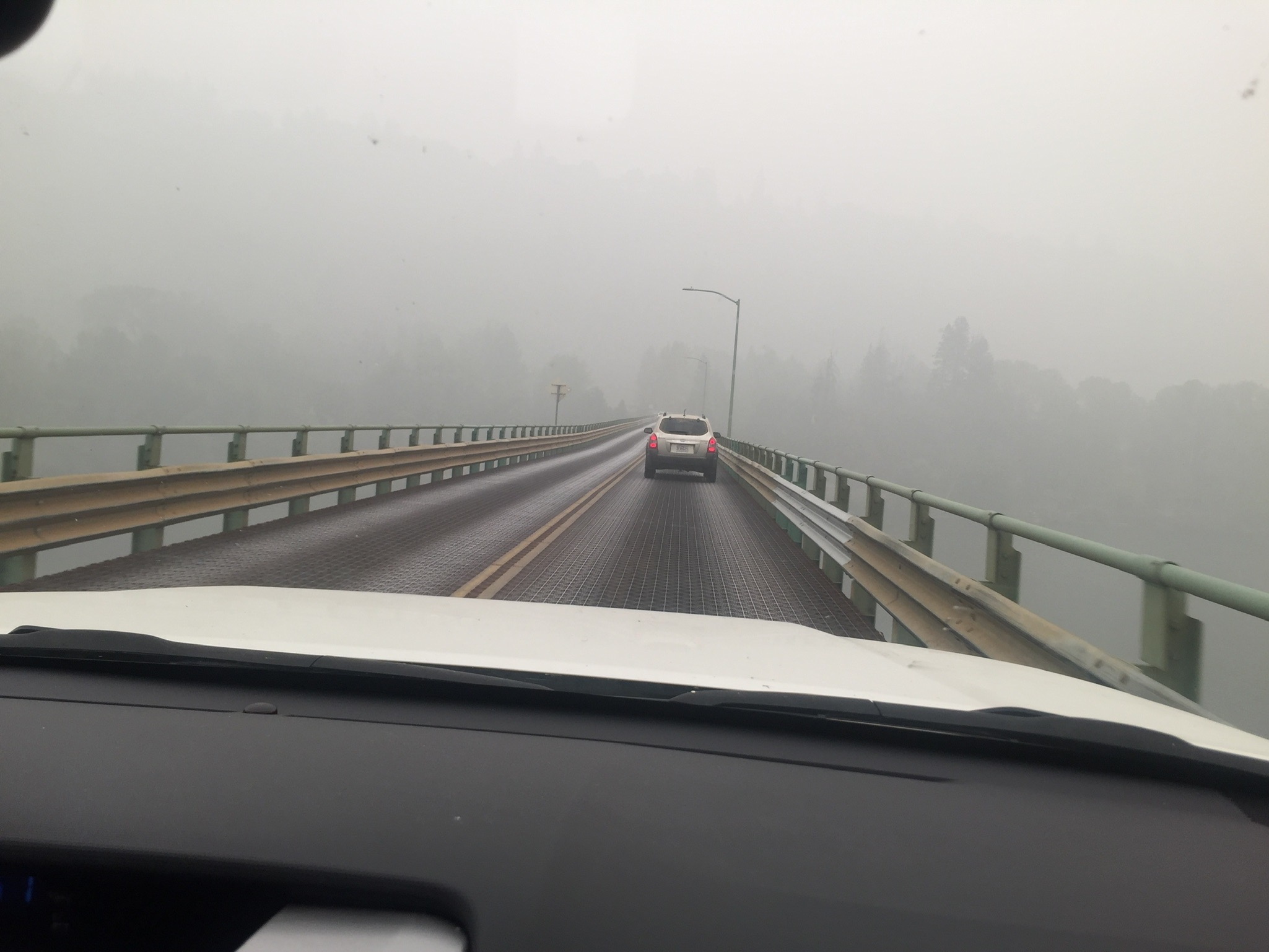
Paul and I get to the trailhead about 45 minutes before Martha and Matt arrive. A forest ranger comes in to post some signs. He indicates that the forest has been closed for 3 days but they are allowing PCT’ers to continue. He says they don’t recommend it because the smoke alone is just not healthy but they don’t try to stop PCT’ers. Really hard for me to understand. Paul was the source of the oranges back at Trout Lake and Martha and Matt repay him by bringing us burgers and frys and cokes. On the way to get us Martha and Matt picked up a hitching PCT’er who wanted to hike from the trailhead to Trout Lake. He was advised against it. He ignored the advice. He had two burgers and 3 beers from Martha and Matt and started his hike. We give Paul a ride back to where he left his car and then start to head back to Oroville. Oroville is 1/2 mile from the Canadian Border. Pauls car was next to the Columbia River next to the Oregon Border. We drove for 7 hours and there was heavy smoke in the air the entire way.
California, Oregon, and Washington are basically on fire. Oregon has closed all the forests and the PCT. California has closed all the forests and the PCT. The PCT still seems to be open in Washington even though some of the forests have been closed.
- Miles: 10.2
- Steps: 26670
- PCT Mile: 2198
- Elevation: 3499
- Location: https://w3w.co/quiet.chilled.bursts
Finally remembered your blog name. We have been worried about you with all the fires. What is the plan?
Please let us know.
Love, PD and CD