So before I went to sleep last night a couple passed by and told me there was definitely snow in my future. The started at the California/Oregon border and that there were sections where the trail was covered with snow. Not really bad news because I figured I would be traveling through the snow I could not all that far away.
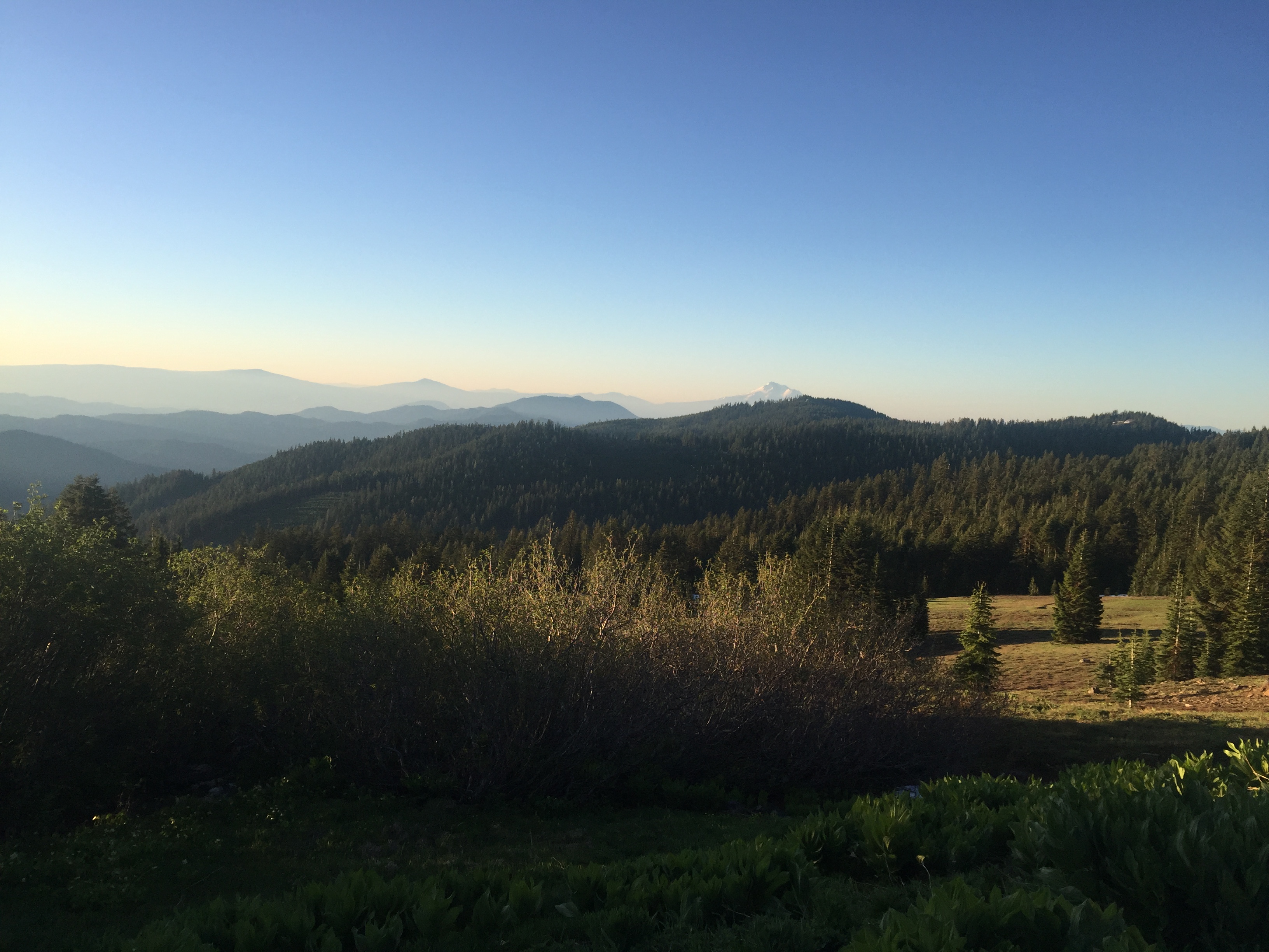
Anyway the night was pretty cool and I was chilled a few times in the tent and really was not all that interested in getting out of the sleeping bag, But I knew if I got up and going I would be fine. So out came the down magic jacket and with that on I was warm enough to pack up and have breakfast. My hands got a little cold but not really cold enough to be a problem. It just made me remember the advice that the nights on the PCT are always cold. That has been 99% true with only a few nights I remember as actually being warm. Here is the view I have from my campsite just before I start walking.
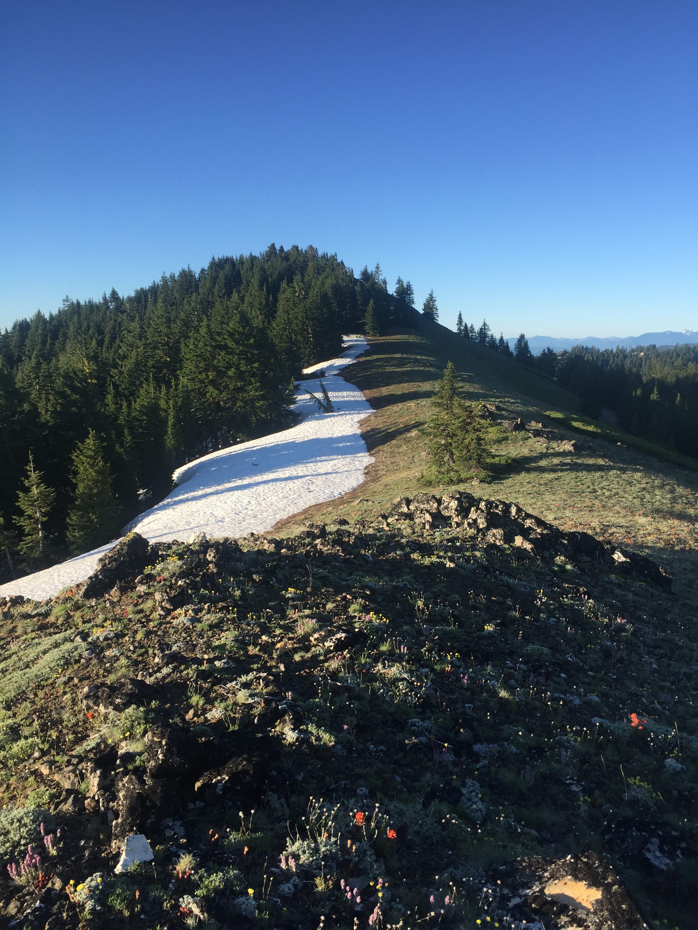
When I got to the part of the trail that was covered in snow I noticed from pretty far away that the crest was clear. The sun and wind had taken care of the crest so when I got to that point I just went straight up to the crest and walked along the crest and along a run on the other side of the crest for awhile. Eventually I got to the point where the trail crossed over the crest and the road and looking at the map I figured I could stay on the road I was on. After about a half mile it was clear the road was not going the same direction as the trail and so I had to get back to crossing and spent some time trying to figure out what to do next. It was not as obvious at this point how to avoid the snow. After about 10 minutes however I did find a path, again above the trail, that was mostly clear of snow. At one point when I was going across the snow I got to a point where there was a mess of tree branches and falling trees on the other side of the snow and my feet got tangled in the mess and I did a face plant. I thought I heard something break and I thought it was my glasses but luckily I guess it was just the little branches that broke. I wondered what my face looked like but nobody that saw me said “Dude what happened to your face” or anything so I figured I was ok. A few cuts on the head and on my nose seems to be all the damage done. It was not too long before I was clear of this snow and heading down elevation towards the California/Oregon border. Below is a picture while I was on the ridge. I didn’t take many pictures at this point because I was mainly concerned with figuring out the best way to go forward.
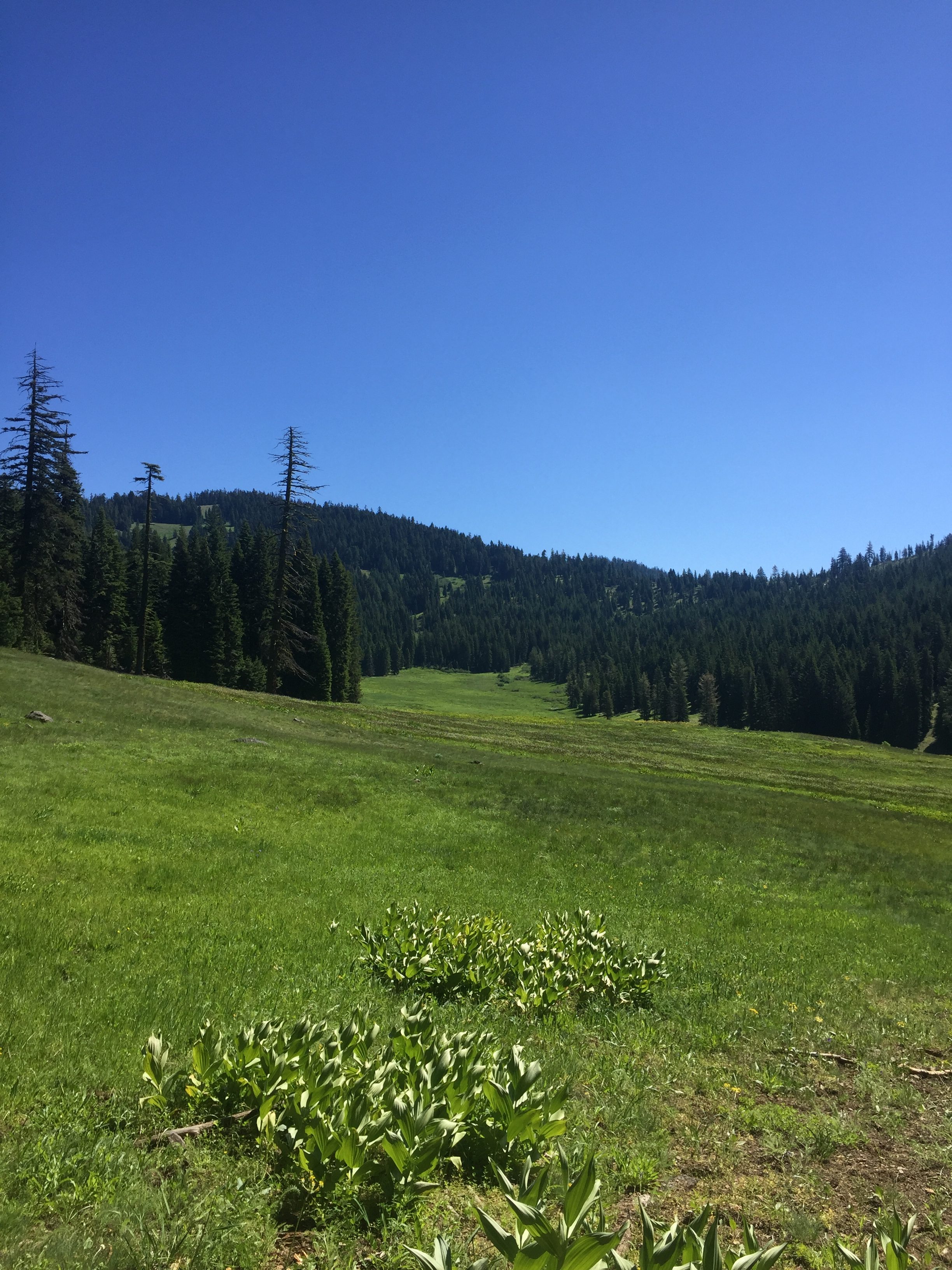
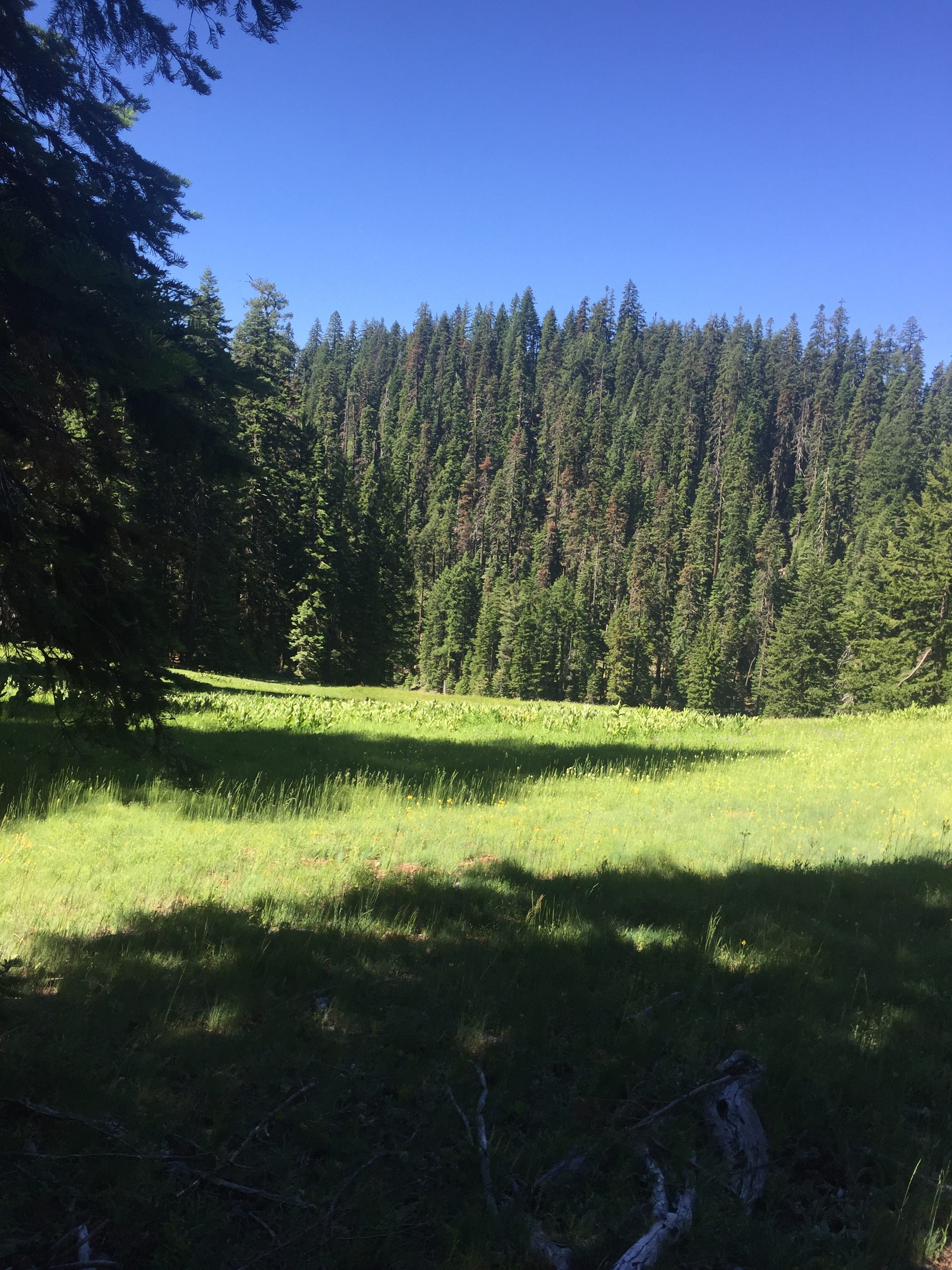
Once out of the snow it was a beautiful walk down to the border. However along the way I continued to meet hikers that told me there was a LOT of snow ahead of me between miles 1680 and 1684. They indicated to use the road which was covered with snow but was easier to follow. My problem was that the application that I use had to be upgraded when I went from Oregon to Northern California and so until I could get somewhere with service, I did not a map that would show be the trail relative to the road. Here are a couple photos on way to the border.
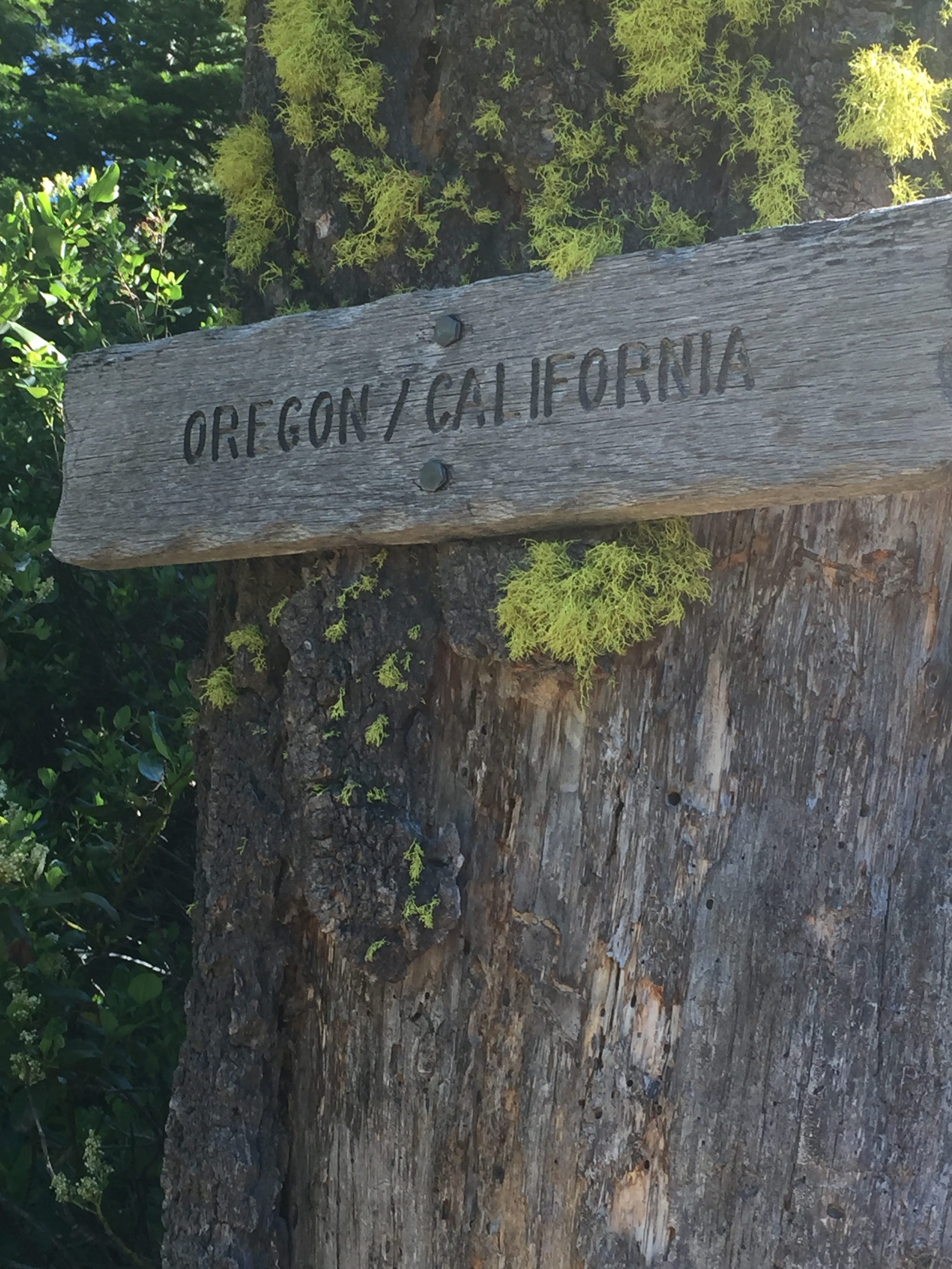
The border is about mile 1690 and so I know I have about 6 miles before I hit the snow. There are a lot of hikers on the trail and almost all of them, like me, are surprised by the snow. A lot at this point is probably about 6. As I was approaching the area with the snow I could see a road below me and I wondered if that was the road to take. At that time however a young lady hiker came out and I asked about the snow and if the trail could be followed. She indicated that if you were good at following the trail without seeing it that it was possible but that she had ended up taking multiple “alternate” paths. She was not really interesting in talking and I imagine she was just happy to be on the other side. So I venture into the snow attempting to follow the trail. At this point there is snow everywhere. Trying to follow the trail, even with navigation app that I have was very difficult and time consuming. I thought I was doing pretty good and then I came to a road and said…. alleluia all I have to do now is follow the road. Well I continued on the road at about the same angle that I came to the road. I remember I was at about mile 1682. I sloughed through the snow and eventually got out of the snow onto a dry road for as far as I could see. I get oriented and figured out where the trail is and I hike up from the road to the trail and start walking. It does not take me long to realize that things looked very familiar. My heart sinks and I look at the application again and notice I am at mile 1684. So I had gone the wrong direction when I hit the road and was going the wrong way. Well at least I know the road to take now so I hike back down to the road and start following it back into the snow. Here is my path, the path of a drunk man going home.
After awhile I do finally get to the crest and I am able to get a signal and able to download the Northern California map and see where the road was relative to the trail. About this time I also get a message on the InReach from Lenora who asks if I am lost because I seem to be going backwards. I have signal and tell her on the phone that I had been lost most of the day but I think I have it figured out now. When I get to mile 1680 at about 6 I decide to stop for the day. I am mostly out of the snow but there is still a little more to come. So for the day I did 13 miles. However my phone indicates I traveled 18 miles!! All of the avoiding the snow and the getting lost had cost me 5 miles. Here are some of the photos
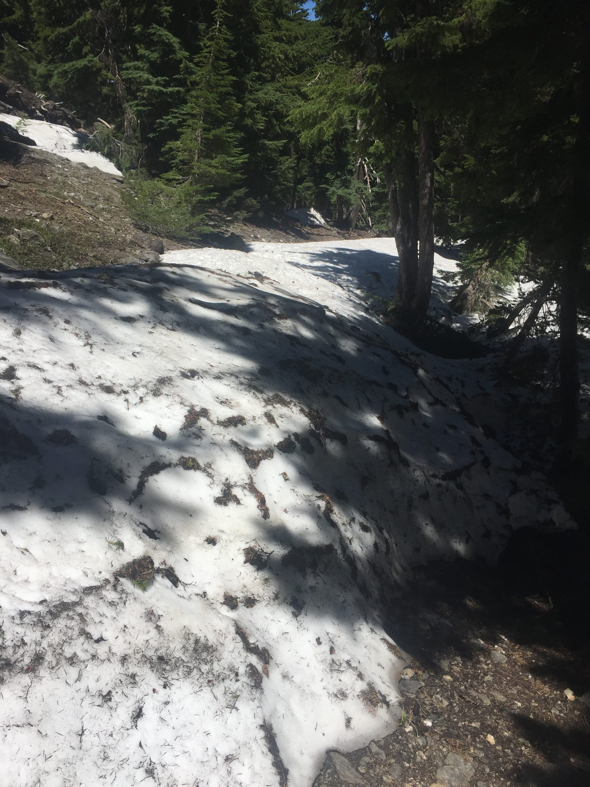
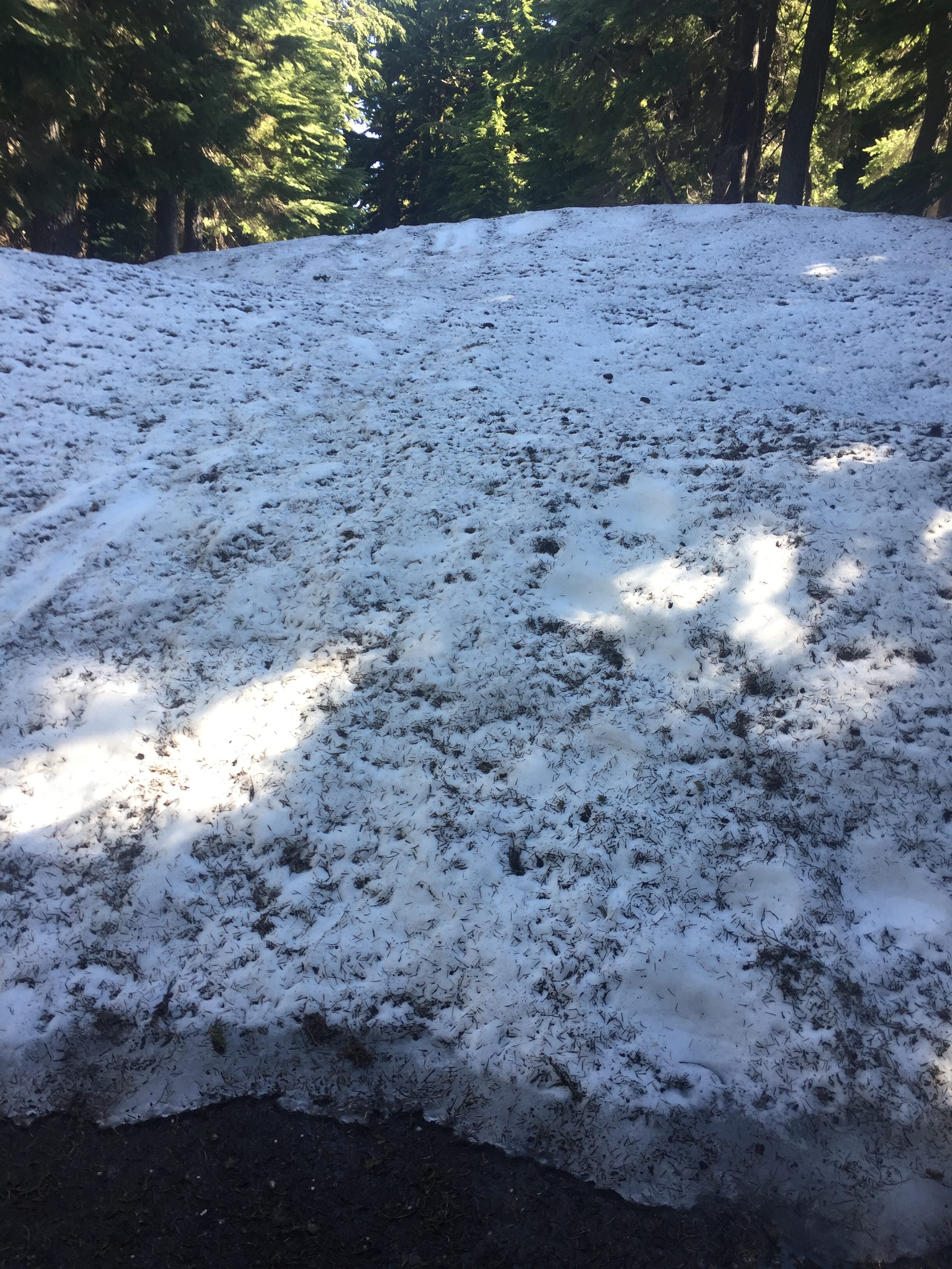
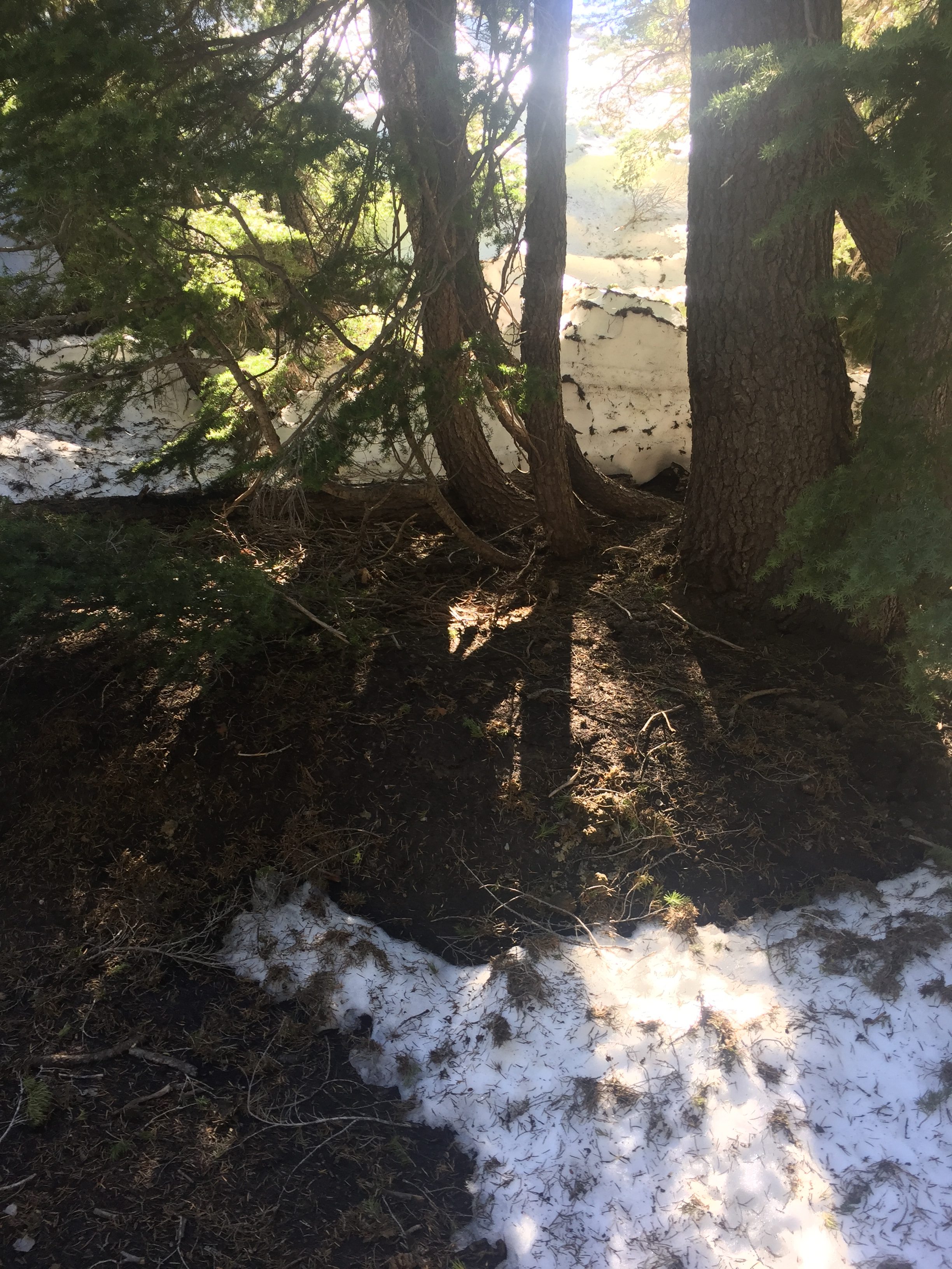
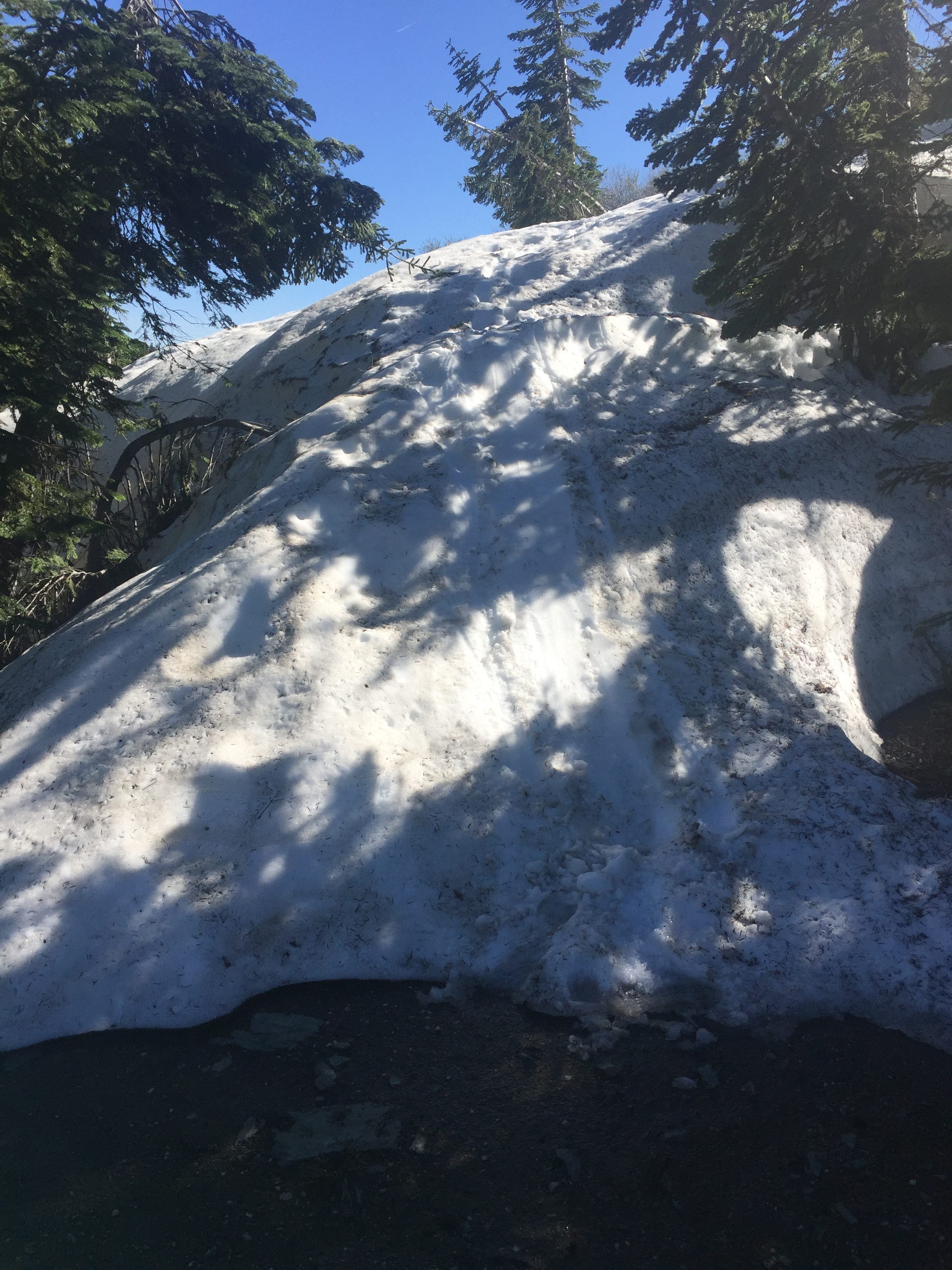
I set up camp and have dinner and at this point notice my camelback is empty. I have 2 liters of water for cooking at evening and for morning and walking to the next water source. There is a water source pretty close to where I am camping but there is so much snow and I could not locate it and neither could another couple camping at the same place. There is suppose to be water in 2 miles down the trail and I figure I will get there next morning and have breakfast.
All is good. I have found the trail again. The snow I don’t have to travel through is a beautiful sight.
Lenora’s Story:
I am on the phone with Carolyn talking about EGA National Seminar when I notice that Don seems to be going in the wrong direction. I first assume he went back for something he left or dropped but as time goes by he still seems to be heading back. I send a note but no reply. I wonder if he is trying to find a place he can be picked up so I start to check ever 20 to 30 minutes until he reassures me that he has been lost in the snow but is now ok.
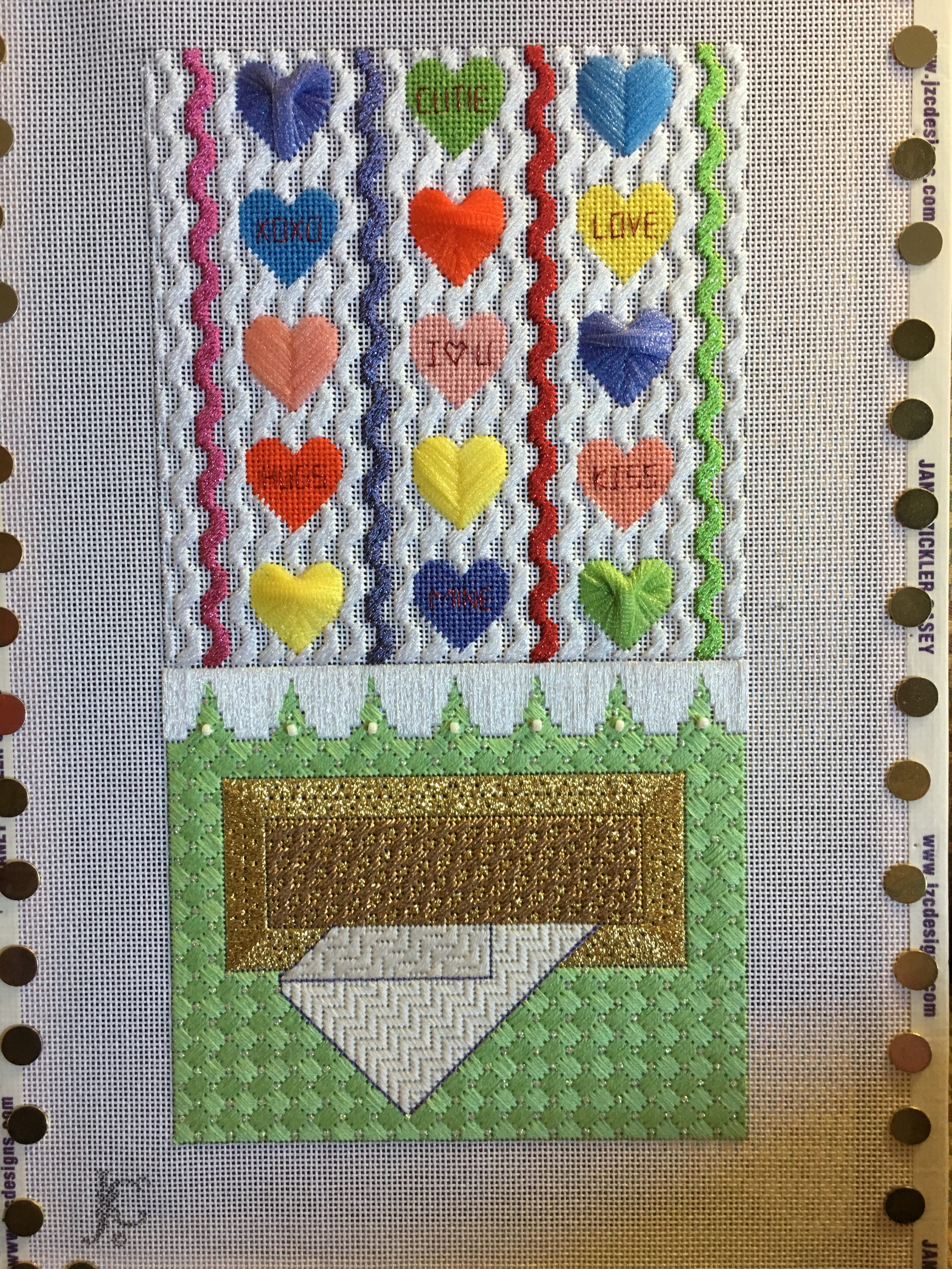
Yesterday was a big day and today I am resting more than working so i do not make the progress I had hoped for on my canvas. I am on the second canvas of the trip, first one completed but always wish I were doing better. I am working on “Chocolate” and hope to finish it before Monday so I can start a new week with a new project. Don will return tomorrow evening or maybe early the next day and I do want to get a lot done while he is hiking.

Don Post:
The Sunday comics seemed to target my feelings a bit
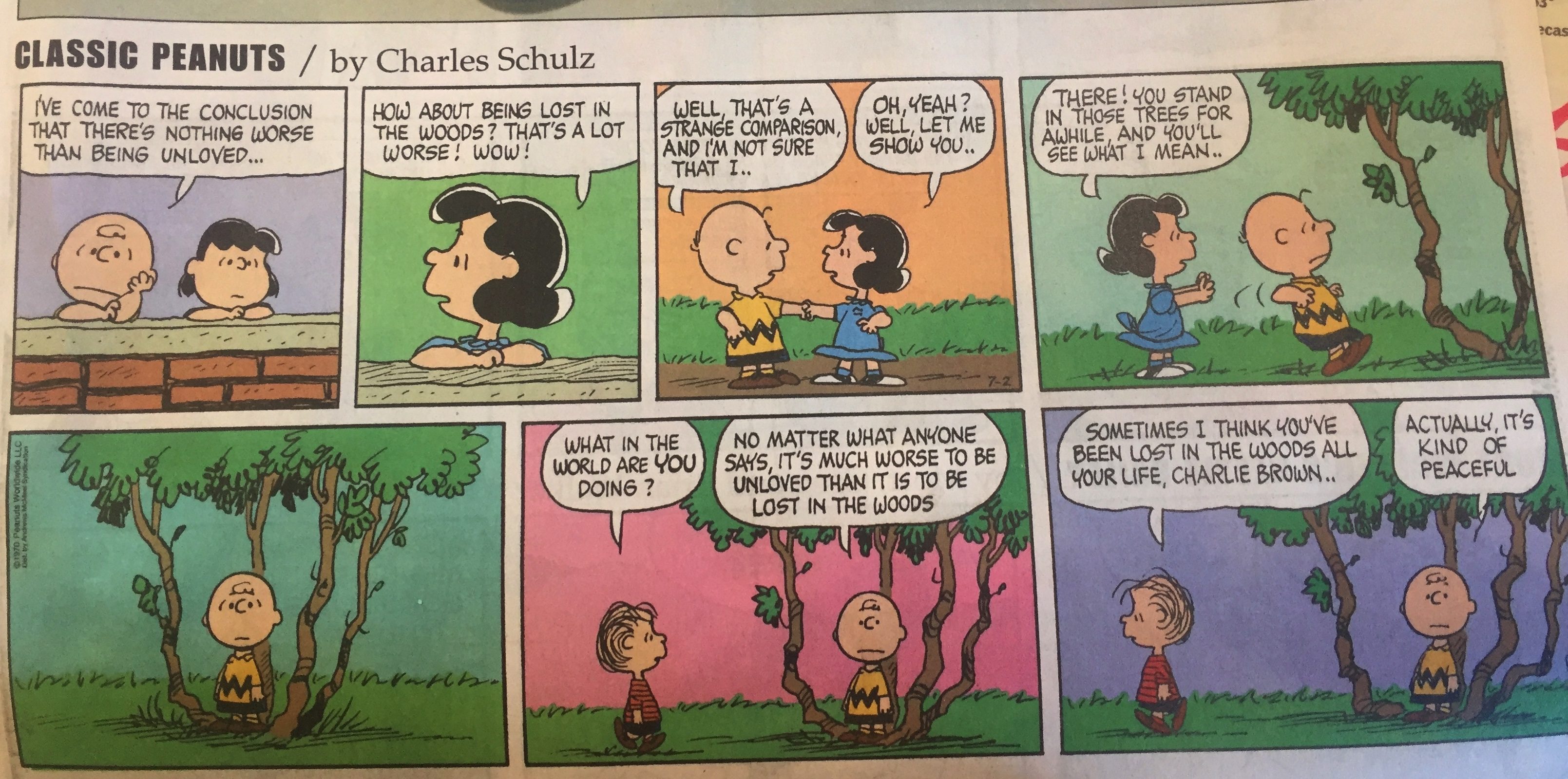
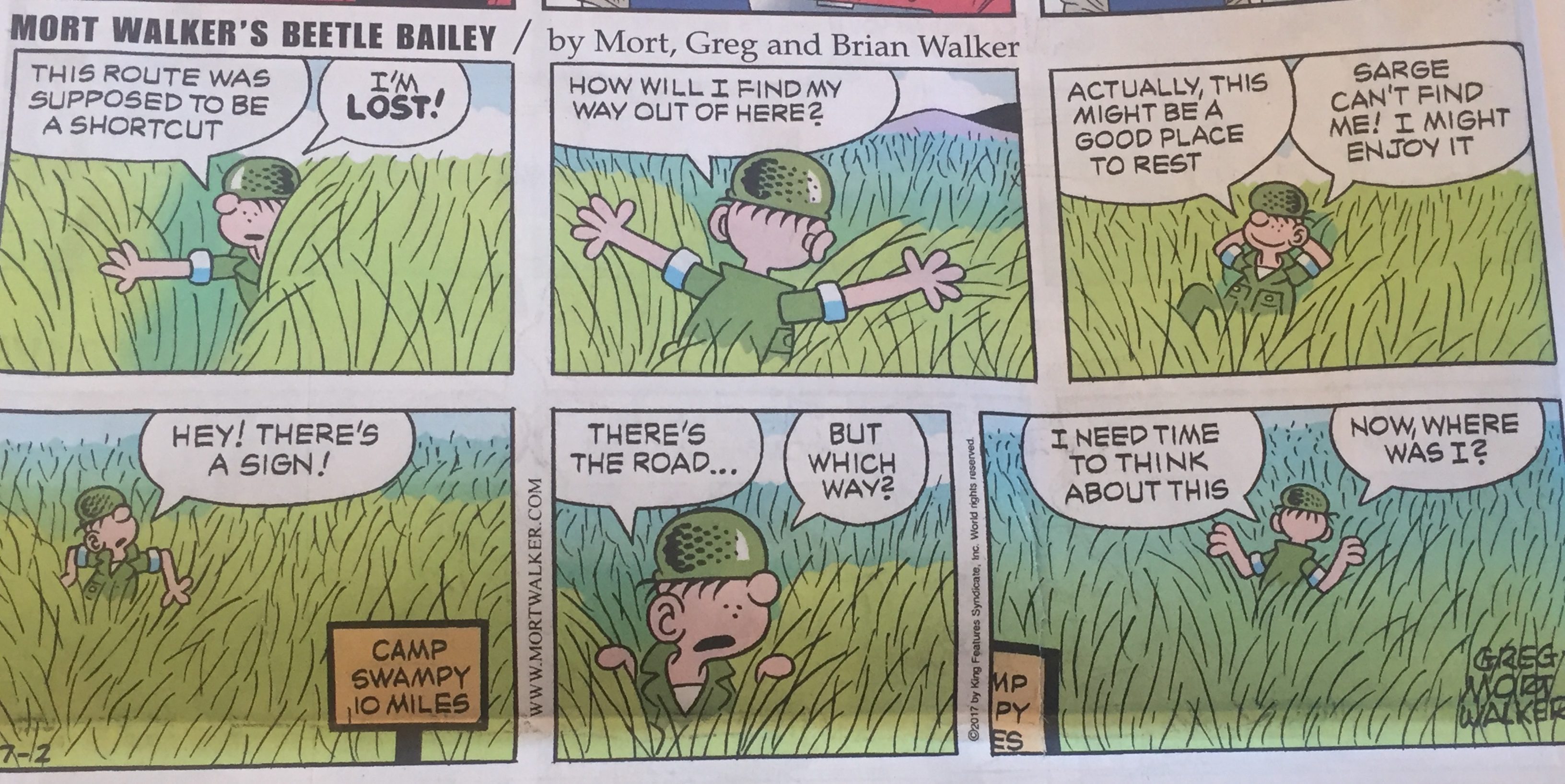

Hah! Good Comics. And lots of snow; 15 feet? Ummm. No. Glad you are enjoying it – and no longer lost.
Mom, You should post pictures of your work.
Good idea. Posted pictures of the 2 pieces being worked right now
Did you build a snowman?!?
I can’t believe I didn’t think of doing that