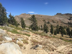
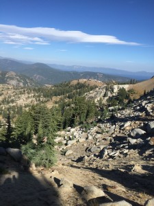
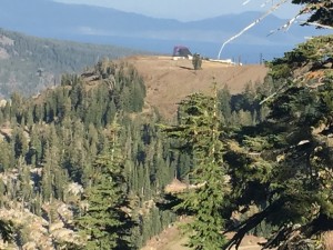
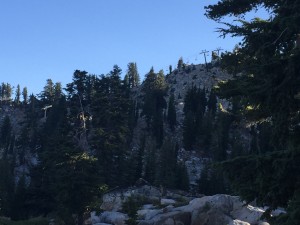
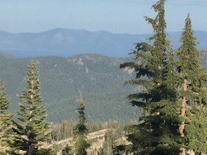
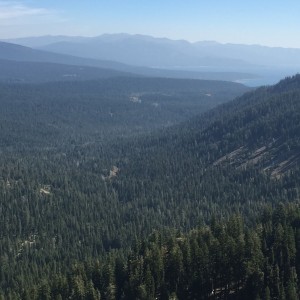
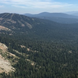
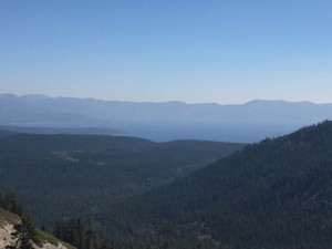
Another beautiful day to be hiking. It is cool’ish and perfect for hiking. I am suppose to get the one spot where I can see Lake Tahoe today but upon getting to that spot, I see nothing that looks like Lake Tahoe… nothing that looks like a lake at all. This is also pretty close to the point where the Tahoe Rim Trail and the PCT split. Once I hit that split, the number of people on the trail drops dramatically. As a matter of fact, I see no one after reaching the split for the rest of the day. There is a lot of crest walking today and on the crest the wind is howling pretty good.
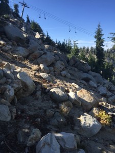
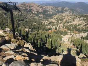
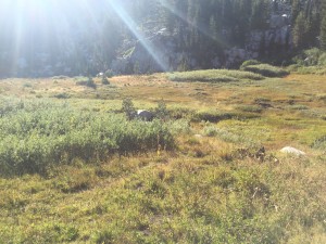
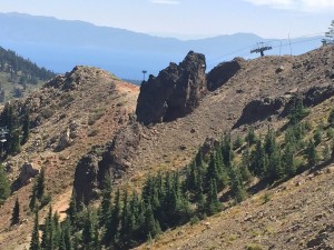
Some pictures from the start of the day
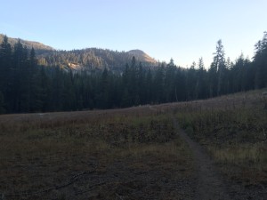
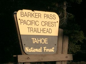
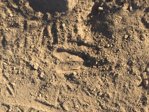
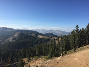
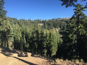
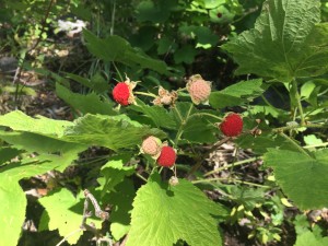
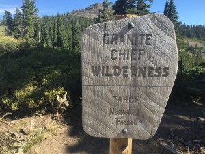
I exited the Desolation Wilderness yesterday and today I enter the Granite Chief Wilderness. I shudder at the word Granite… please no more walking on sharp rocks… please.. please… Some info about the Granite Chief Wilderness
The United States Congress designated the Granite Chief Wilderness in 1984 and it now has a total of 25,111 acres. All of this wilderness is located in California and is managed by the Forest Service.
Located at the headwaters of the American River, the Granite Chief was designated a Wilderness area because of its pristine nature, natural beauty, and potential to provide primitive, non-motorized recreation opportunities. The Wilderness reserves a scenic area of exposed rock formations, granite cliffs, and glacier-carved valleys, forests, and meadows. The southern section is blanketed with a thick cover of trees: red fir and lodgepole pine higher up, and a mixture of deciduous and evergreen woodlands lower down. Several major streams drain the area. The northwest section of the Wilderness is part of the French Meadows Game Refuge.
The area is served by a substantial trail system used by hikers and equestrians for recreation activities. Most of the use originates from the east or Lake Tahoe side because of the ease of access and because of the population and recreation visitor base.A number of trails provide access to the Wilderness. The Pacific Crest Trail crosses the area north-south for about 21 miles along the eastern boundary passing through Five Lakes Basin, where no camping is allowed within 600 feet of the water. The Five Lakes Trail crosses near the middle of the Wilderness, and from the Basin, follows Five Lakes Creek for about nine miles to Hell Hole Reservoir. Away from Five Lakes, the Wilderness receives light human use, a great attraction for solitude seekers.
Elevations in the Granite Chief range from 5000-foot valleys to 9000-foot peaks. Summers are typically warm and dry, though nighttime temperatures can be cold and afternoon thunderstorms often build over the mountains. Snow is possible any month of the year. Be prepared for changeable weather and bring clothing that will keep you warm and dry.
I go past the Alpine Meadows Ski Area and then to the Squaw Valley Ski Resort and just past Squaw is where I camp for the night. I can attest to the cold temperatures mentioned above as this was the coldest night I have had in a long time (since the snow storms). Must have been in the 30’s with a stiff wind. There are only 16 miles left to Interstate 80 for tomorrow which is where I have decided to meet up with Lenora again for a 3 day Labor Day Weekend. We are going to stay in Sierra City and that is where I will start hiking from again. So I will miss the 38.17 miles from Interstate 80 to Sierra City.
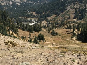
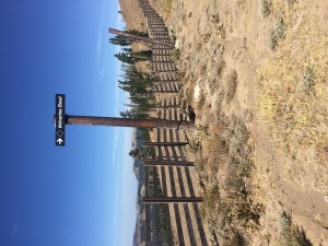
Pictures of Squaw Valley where I camped for the night
