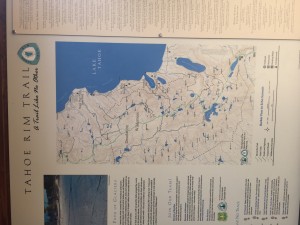
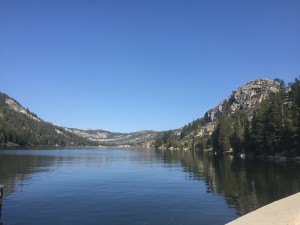
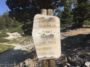
Lenora got me back to Hwy 50 and I started out the next hiking section at about 9 am. After about a mile got to Echo Lake and read a sign that said that hiking was not allowed between Hwy 50 and the start of Desolation Wilderness. Don’t know about you, but I did like the sound of Desolation Wilderness and I was wondering if the guy that named the wilderness was an optimist or a pessimist. Turns out he was either both or neither as the wilderness has sections that are just beautiful forested land like you would expect around Lake Tahoe but also areas that would take a million years of positive improvement in order to reach the level of desolation. At this point the PCT and the Tahoe Rim Trail are the same and I really expected to see numerous gorgeous views of Lake Tahoe. Such was not the case. Seems I am on the wrong side of the mountains to actually see Lake Tahoe. Here are a few pictures around Echo Lake.
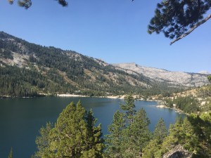
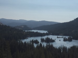
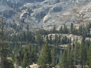
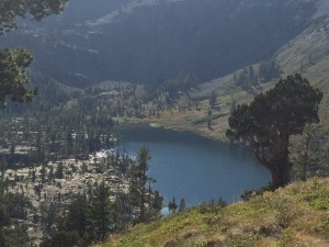
Going past Echo Lake and his lake friends you end up in the desolate part of the Desolation Wilderness. Within this is Lake Aloha and here are a couple pictures of this area. It was at this time that I said to myself, this is not at all the scenery I was expecting when walking past Lake Tahoe. However once past this area it does turn into more of a forest walk and what I was expecting but for awhile I was thinking I was the victim of some cruel joke.
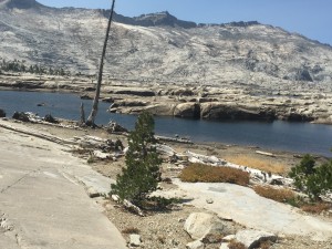
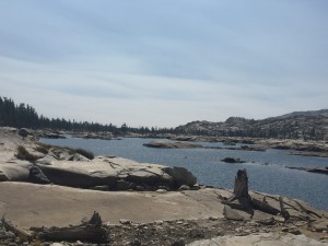
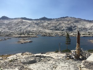
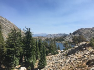
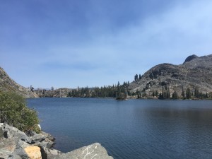
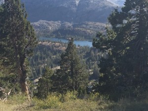
Here are some more pictures of Lakes that I passed today. Just a great day of hiking. Easy and beautiful (for the most part).
I have mentioned or taken pictures of signs that indicated me entering or leaving a wilderness area and/or a national forest and I have wondered from time to time if there was a relationship between the two. Turns out there is no direct relationship. A wilderness can be part of a national forest or parts of multiple national forests. For example the Ansel Williams Wilderness is in both the Inyo National Forest and the Sierra National Forest and it is possible for a wilderness to not be within a national forest at all. A wilderness has a higher level of protection that a national forest. Here are some facts about a wilderness
The United States was the first country in the world to define and designate wilderness areas through law. Subsequently, countries around the world have protected areas modeled after the Wilderness Act. In 1964 our nation’s leaders formally acknowledged the immediate and lasting benefits of wild places to the human spirit and fabric of our nation. That year, in a nearly unanimous vote, Congress enacted landmark legislation that permanently protected some of the most natural and undisturbed places in America. The Wilderness Act is one of the most successful U.S. environmental laws, standing for almost 50 years without a substantial amendment, and, as such, continues to be the guiding piece of legislation for all wilderness areas. The Act describes wilderness as follows:
“…lands designated for preservation and protection in their natural condition…” Section 2(a)
“…an area where the earth and its community of life are untrammeled by man…” Section 2(c)
“…an area of undeveloped Federal land retaining its primeval character and influence, without permanent improvement or human habitation…” Section 2(c)
“…generally appears to have been affected primarily by the forces of nature, with the imprint of man’s work substantially unnoticeable…” Section 2(c)
“…has outstanding opportunities for solitude or a primitive and unconfined type of recreation…” Section 2(c)
“…shall be devoted to the public purposes of recreation, scenic, scientific, educational, conservation and historic use.” Section 4(b)
Here is some information about Desolation Wilderness….
The Desolation Wilderness, encompassing 63,475 acres of rugged alpine terrain, is a spectacular area of subalpine and alpine forests, jagged granitic peaks, and glacially formed valleys and lake basins. Here on both sides of the Sierra Nevada, averaging 12.5 miles in length and 8 miles in width, you’ll find elevations ranging from about 6,500 feet to almost 10,000 feet. Mostly lacking in dense vegetation, Desolation is a glacially smoothed expanse west of Lake Tahoe. You’ll discover numerous streams and approximately 130 lakes, some reaching 900 acres in size. Snow often blocks the high passes until mid-July. Long recognized for its mountain splendor, Desolation Valley Primitive Area was established in 1931 and then granted Wilderness status in 1969.
The Pacific Crest Trail traverses about 17 miles of the Wilderness north-south, and at one point crosses Dicks Pass (9,380 feet), the highest pass between here and Canada. 13 named trailheads open onto miles of well-maintained and well-trampled pathways. The trailheads at Wrights, Echo, Eagle Falls, and Fallen Leaf receive the heaviest use. The northwest portion of the area is less frequented and requires some map-reading or GPS skills to explore. Because of its beauty and accessibility, and close proximity to major metropolitan areas, the Desolation is one of the most visited wildernesses for its size in the country.
And here some information about a National Forest
National Forest is a classification of federal lands in the United States. National Forests are largely forest and woodland areas owned collectively by the American people through the federal government and managed by the United States Forest Service, part of the United States Department of Agriculture. Land management of these areas focuses on conservation, timber harvesting, livestock grazing, watershed protection, wildlife, and recreation. Unlike national parks and other federal lands managed by the National Park Service, extraction of natural resources from national forests is permitted, and in many cases encouraged. National Forests are categorized by the US as IUCN Category VI protected areas (Managed Resource Protected Area). The National Forest System was created by the Land Revision Act of 1891, which was signed under the presidency of Benjamin Harrison. It was the result of concerted action by Los Angeles-area businessmen and property owners who were concerned by the harm being done to the watershed of the San Gabriel Mountains by ranchers and miners. Abbot Kinney and forester Theodore Lukens were key spokesmen for the effort.
There are conflicts between timber companies and environmentalists over the use of National Forest land. These conflicts center on endangered species protection, logging of old-growth forests, intensive logging, undervalued stumpage fees, mining laws and road-building in National Forests. Additional conflicts arise from concerns that the grasslands, shrublands, and forest understory are grazed by sheep, cattle, and, more recently, rising numbers of elk. In the United States there are 155 National Forests containing almost 190 million acres (297,000 mi²/769 000 km²) of land. These lands comprise 8.5 percent of the total land area of the United States, an area about the size of Texas. Some 87 percent of National Forest land lies west of the Mississippi River; Alaska alone accounts for 12 percent of all National Forest land. There are two distinctly different types of National Forests. Those east of the Great Plains are primarily re-acquired or replanted forests; that is, the land had long been in the private domain but was purchased by the United States government in order to create new National Forests. In these cases, the areas of National Forest noted on most maps do not actually represent the extent of the National Forest, but only the extent of the authorized purchase zone. The actual amount of land acquired in most cases is much smaller. Those national forests west of the Great Plains are originally-owned forests. These are mostly lands reserved in the public domain by the U.S. government, and with the exception of inholdings and donated land, were never in private hands. In these cases, the areas of National Forests noted on maps are generally the true areas of the forest. Many ski resorts operate in National Forests, such as the Loup Loup Ski Bowl within the Okanogan National Forest. The Forest Service also administers National Grasslands.
