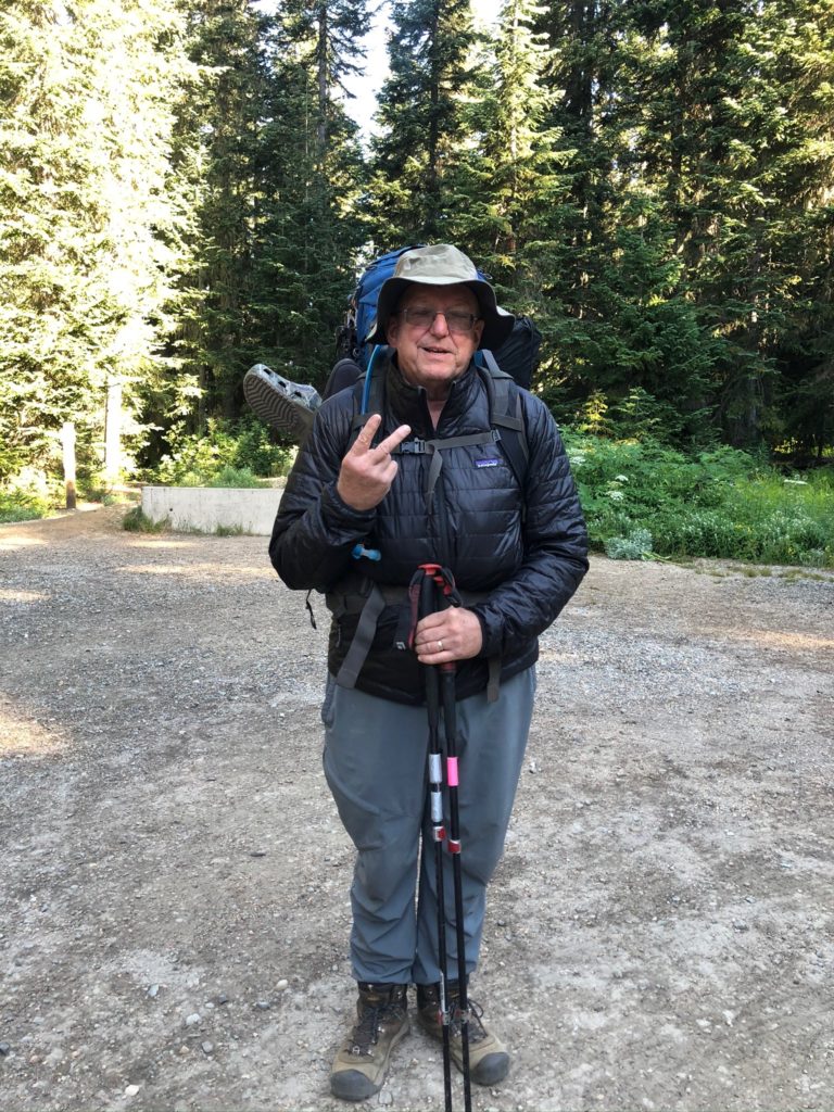
So some adjustments were made to what I am taking with me and my pack is now a manageable weight of probably 45 pounds. Only going to carry 3 days for food and then Martha and Lenora will resupply me at Harts Pass. To make that possible we are moving up north and a LOT closer to the Oroville base home. This second send off will start at Rainy Pass, which is about 2.5 hours from Oroville. Plan is to hike to Harts Pass (30 miles) and then get resupplied and go to the border and back to Harts Pass (60 miles). That’s the plan 🙂 It is colder up here as a cool front has moved in. About 45 degrees at the start of the day. So I started out with the coat on but that got removed with a couple miles.
So not very far up the trail I come across the waterfall shown below. Really beautiful.
The views are spectacular and I can’t help but notice that there is snow in them there hills. Not sure if it reaches down to the trail or even if I heading towards those hills. Turns out those mountains are on the opposite side of the valley from where the PCT runs
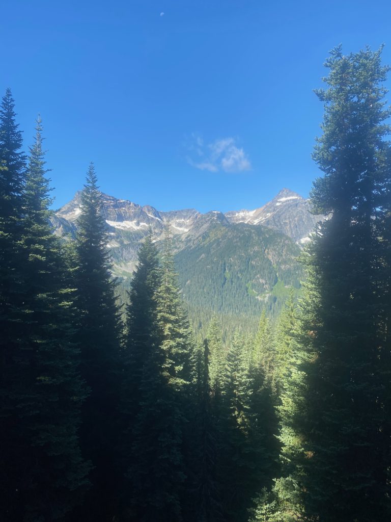
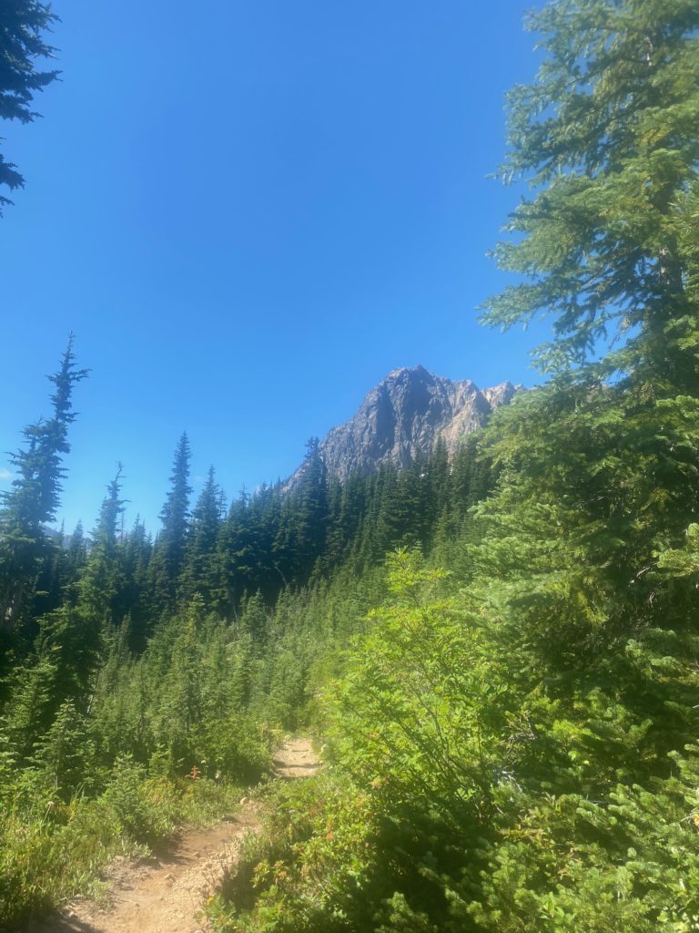
PCT 2591 to 2601 Just pretty 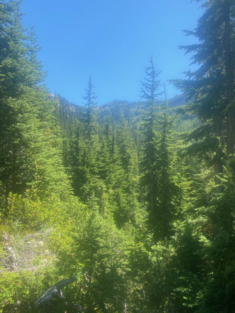
PCT 2591 to 2601 Just pretty
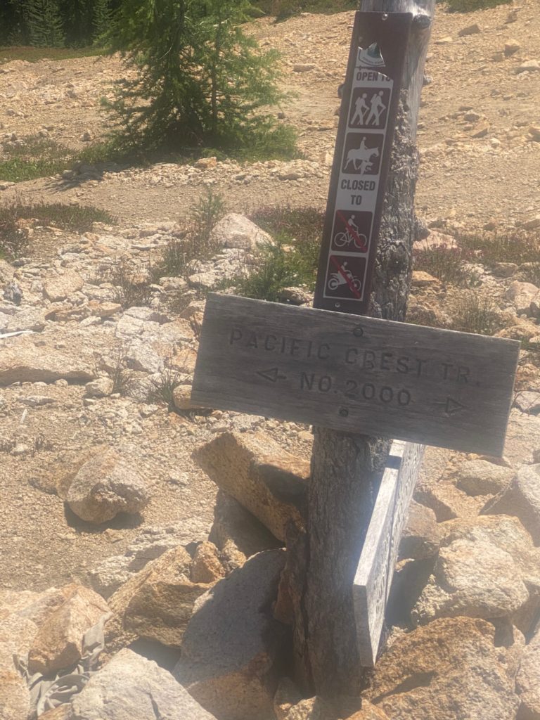
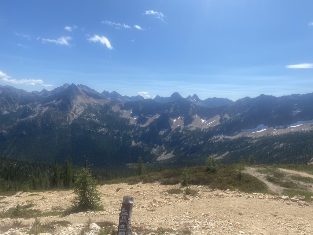
So of course the trail starts out ascending and eventually get to Cutthroat Pass where there is a sign to let me know I am still on the trail. Pretty view of the mountains from here. Cutthroat Pass (7000 feet) is a little over 5 miles from Rainy Pass (5000 feet). Started at 9am and got to Cutthroat Pass at about 1pm.
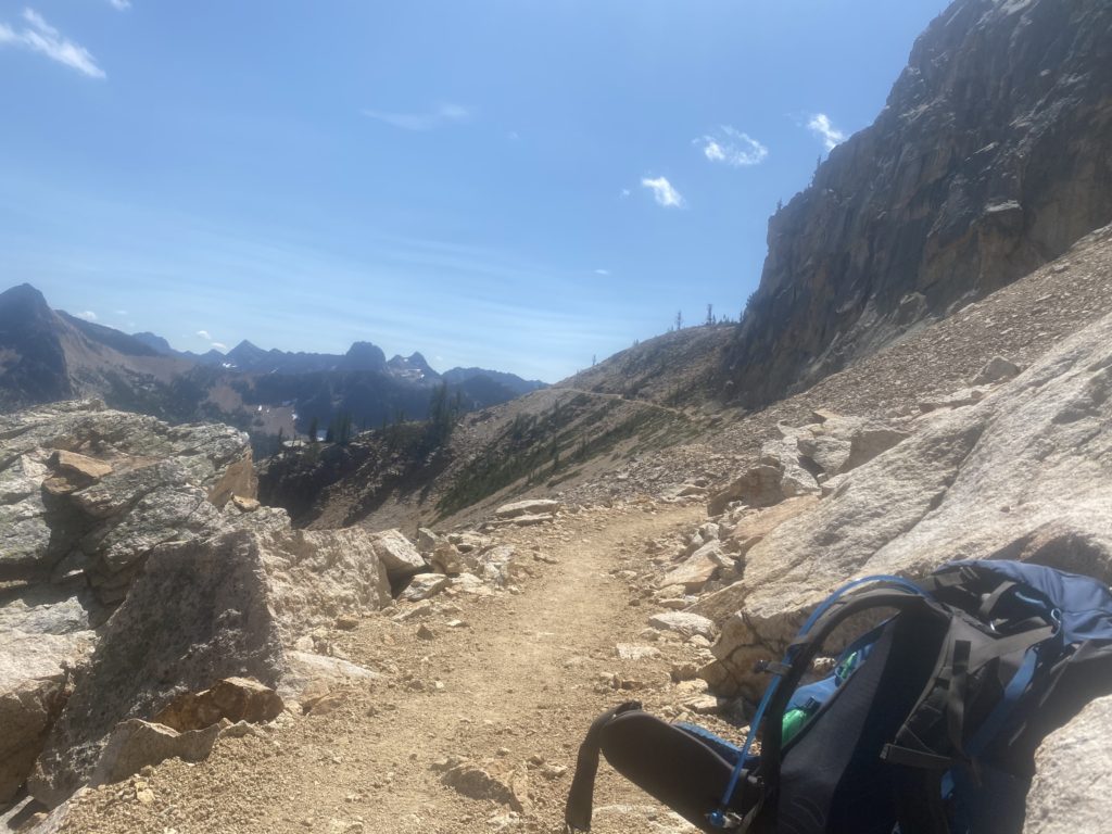
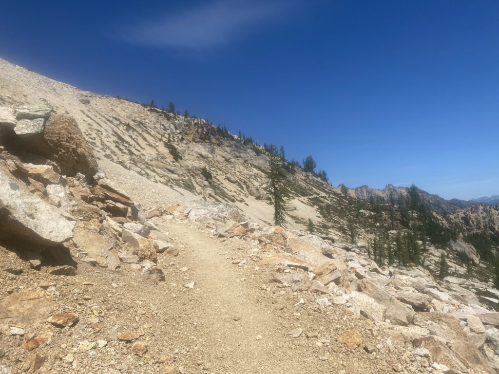
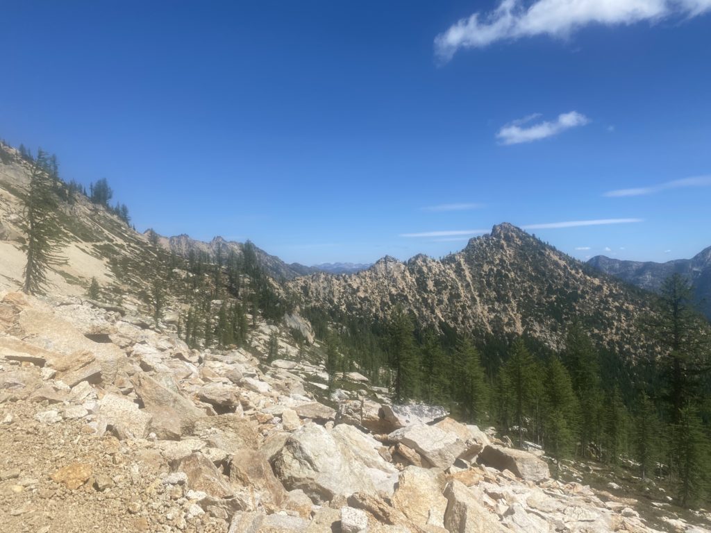
Once you get past Cutthroat Pass the trail levels out but is like walking on a ledge on the side of a building. The trail is narrow and tripping is not an option. Apparently nobody trips because if you go over the edge there is nothing to stop you from basically falling down a mountain. When the trail is hard dirt or rock there is really no worry. However when the trail becomes loose and pebbles, is narrow, and is slanted to side toward sure death it is a different matter. I’ve always thought the books I read about the PCT overplayed the dangers of the trail because until now I have never felt threatened on the trail. However these narrow loose pebbled ledges did give me some concern. I have no idea how this could be traversed in snow or even in rain. Obviously it is done by thousands of hikers each year.
All the people I’m seeing are local hikers and all of them wear a mask to pass me. Just so strange. I’m not wearing a mask. I have one just in case there is some issue but I don’t wear it when just passing someone on the trail.
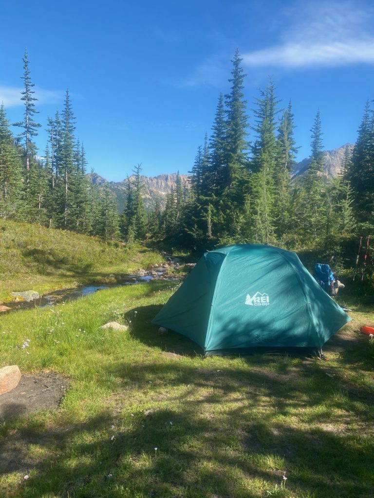
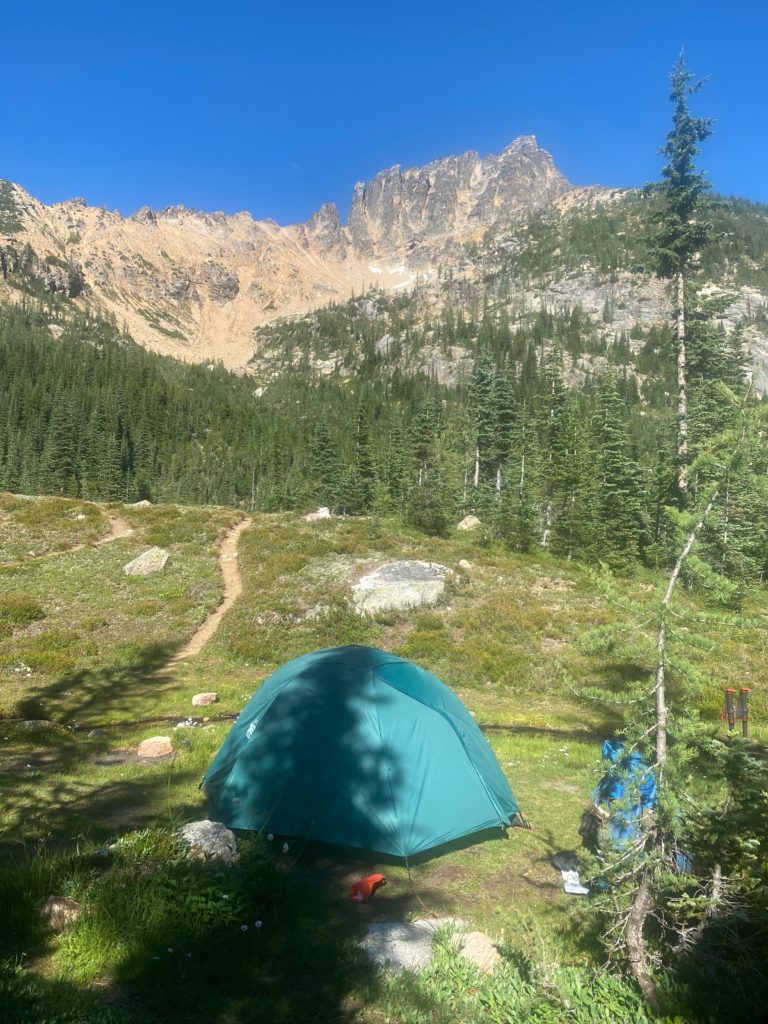
After going level for awhile on ledge you start going straight down via a series of switchbacks to Granite Pass at about 6200 feet. Then you go level again on a ledge until the ascent starts to Methow Pass. I stop for the day just before that ascend at a beautiful spot with a creek right beside my tent. Below are some views from my camping site. Spectacular! It was windy here and was the first time I actually had to stake down the tent. I stopped around 4:30 and was glad I did as 30 minutes later and the place was filled with local hikers. Some even had to keep going to the next camping site. Because the trail is basically on a ledge most of the time, there are limited places where you can camp.
- Miles: 9.5
- Steps: 25115
- PCT Mile: 2601
- Elevation: 6186
- Location: https://w3w.co/distanced.restores.plucky

WOW. That’s a gorgeous spot to camp. Reminder: Bears don’t follow switchbacks ?