A good nights sleep and I get started pretty early in the morning. Have to use a headlamp for the first hour or so.
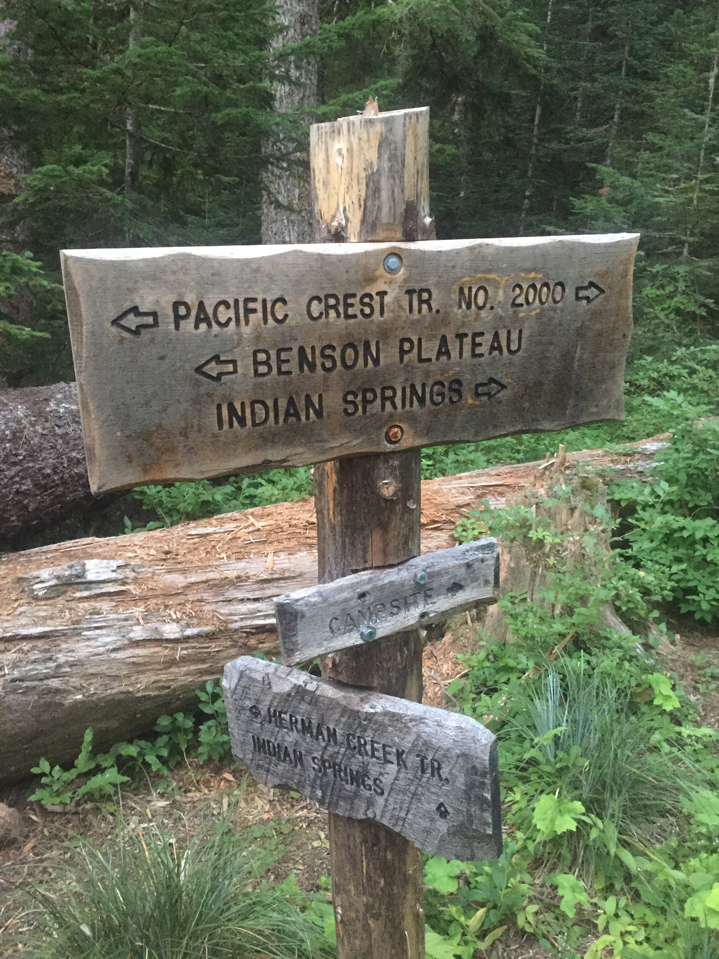
When there is light the sign above lets me know that I did not miss some branch in the trail. I am still on course. I always find a PCT sign very comforting.
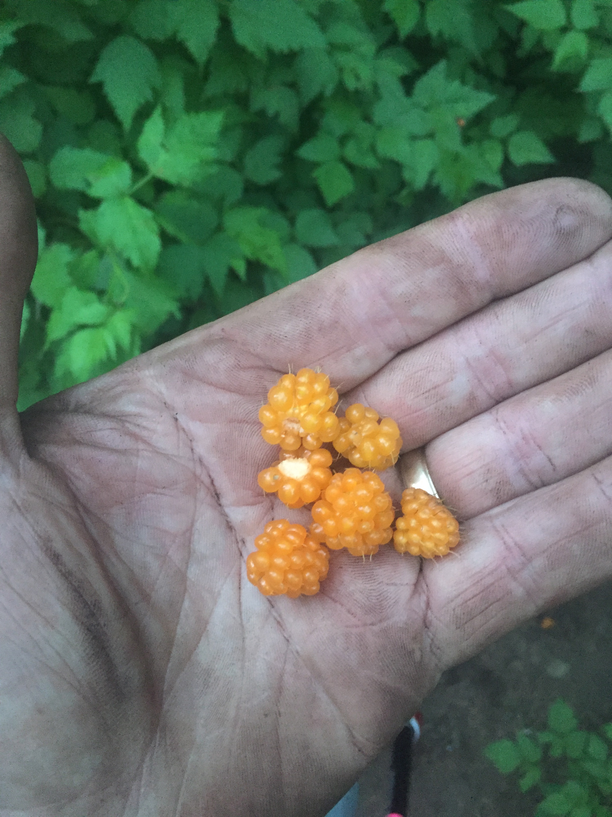
Yesterday I showed a picture of the trail lined with bushes. When today a number of those are berry bushes and I stop and pick some every now and then. Huckle Berries and Salmon Berries are both plentiful and very tasty. They will both be a little better in a couple weeks but I am enjoying them now.
I enter the Mark O Hatfield Wilderness but there is not sign to let me know that.
The Mark O. Hatfield Wilderness is a wilderness area located on the northern side of Mount Hood in the northwestern Cascades of the U.S. state of Oregon, near the Columbia River Gorge and within Mount Hood National Forest. Prior to Wilderness designation it was known as the Columbia Gorge Recreation Area. The slopes of the Wilderness rise steeply to a slightly uneven plateau and on to mountain peaks, talus slopes, and lakes with elevations ranging from approximately 100 feet near the river to 4,900 feet on Mount Defiance. The main waterways in the Wilderness are Herman Creek, Eagle Creek, and Tanner Creek. The area was named for former United States senator and Oregon governor Mark Hatfield. Established in 1984 (President: Ronald Reagan)
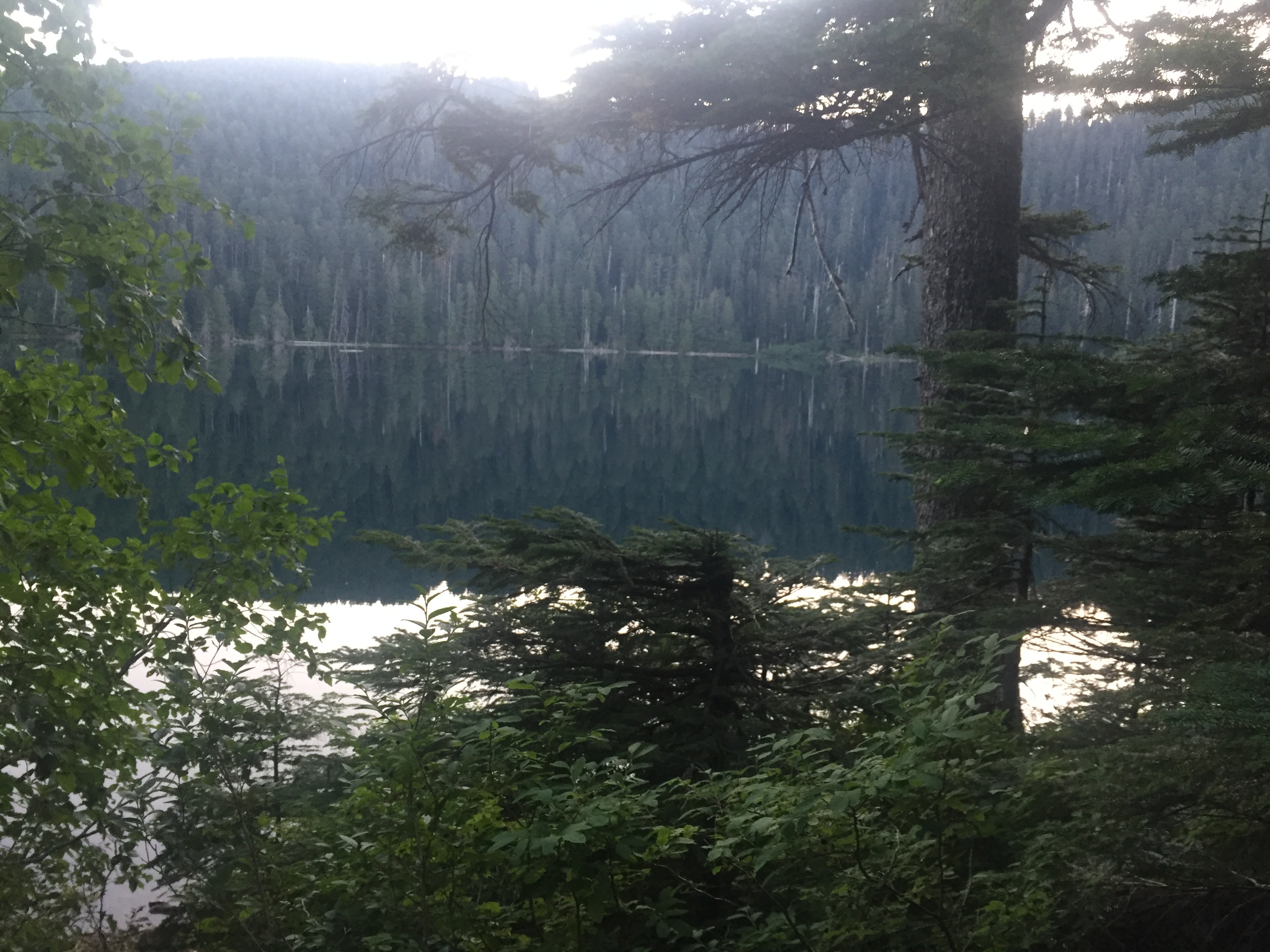
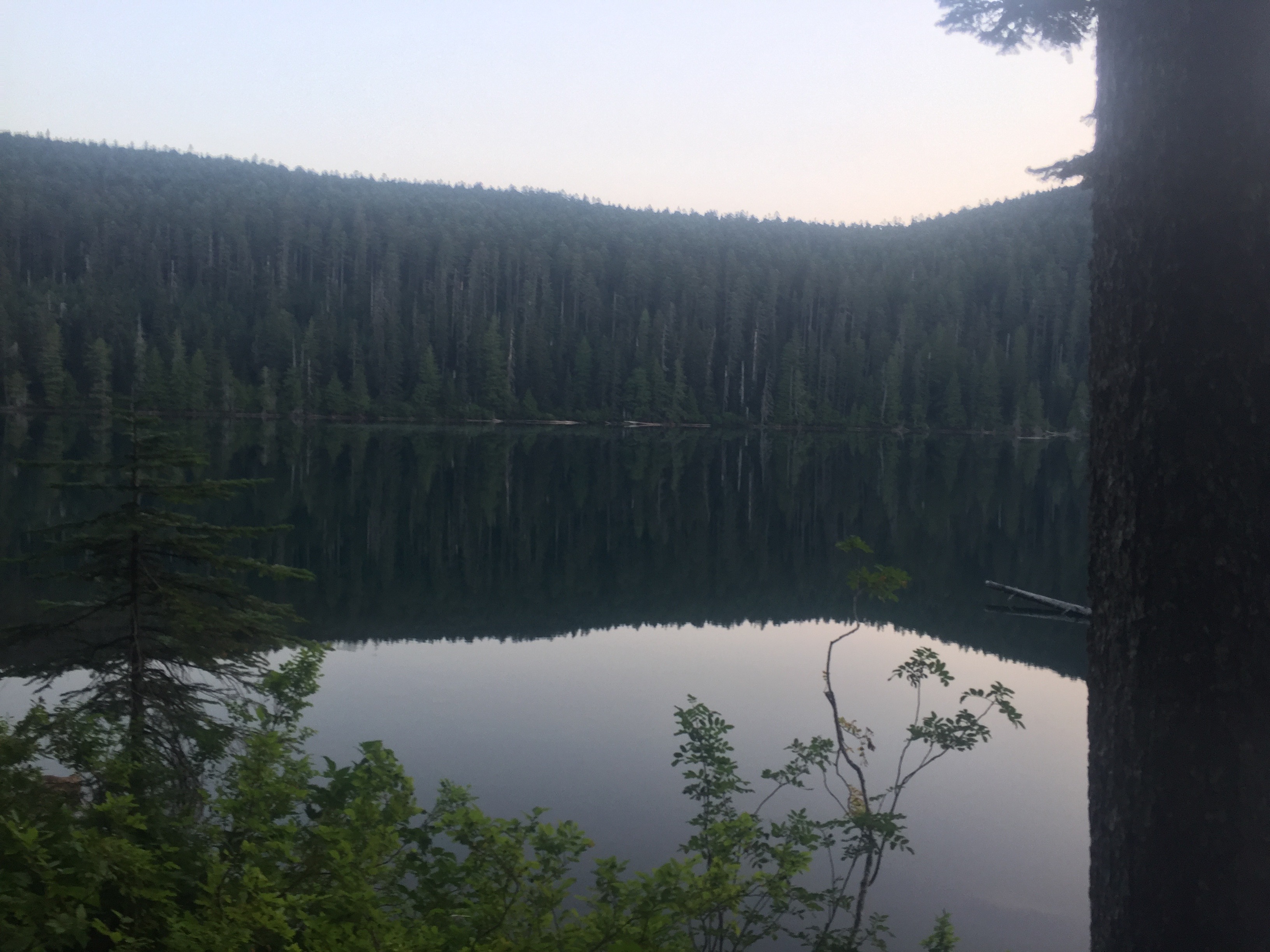
Wahtum lake was pretty. Crystal clear. The trail was little confusing here and I did not look at the layout and at one point chose the wrong trail to take. It seemed like the more used of my options and so I took it without checking. In about 1/4 of a mile I got to a sign indicating the junction with the PCT was 1/4 back!! So I headed back down and took the trail less taken.
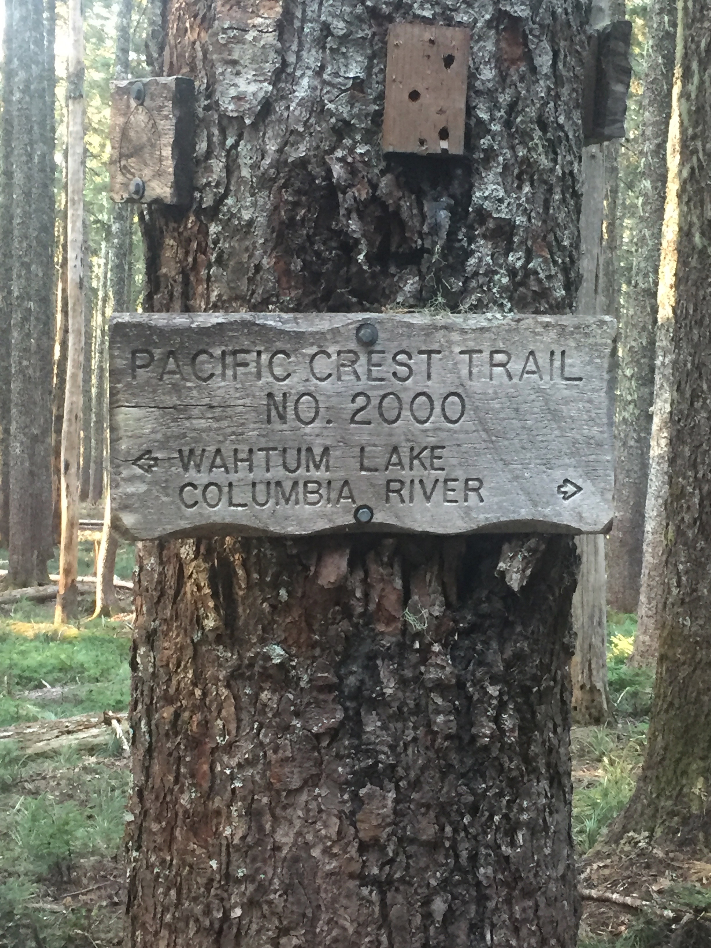
Yup, now I am headed on the PCT and looking forward to the Columbia River and heading into Washington.
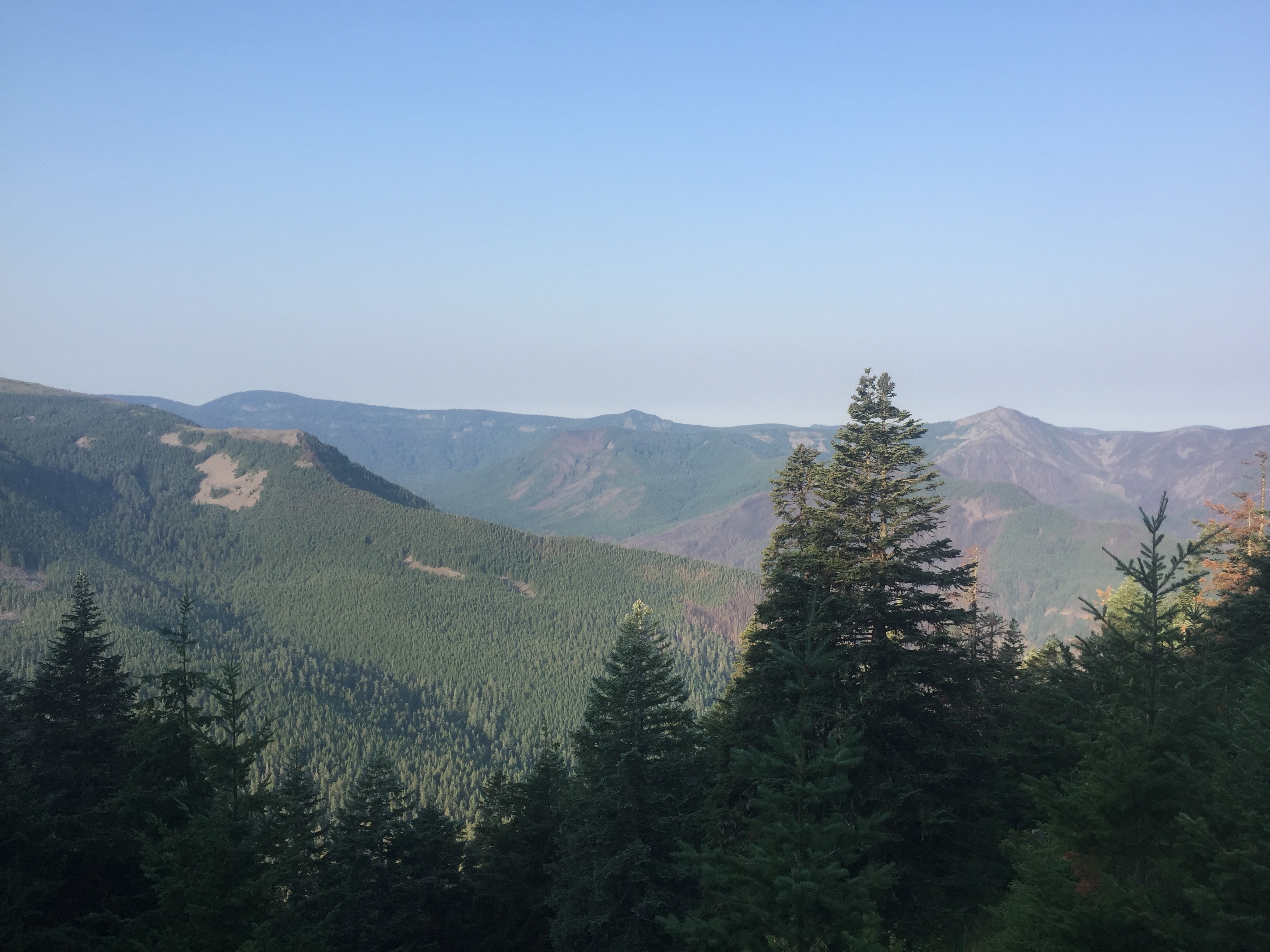
Got to a little bit of a clearing and took the picture above. Pretty impressive. You can see there are some burned areas however and I wonder if I will enter some of that. Actually I am pretty sure I will because last year a large portion of this trail was closed and as mentioned earlier the Eagle Creek Alternate route was closed.
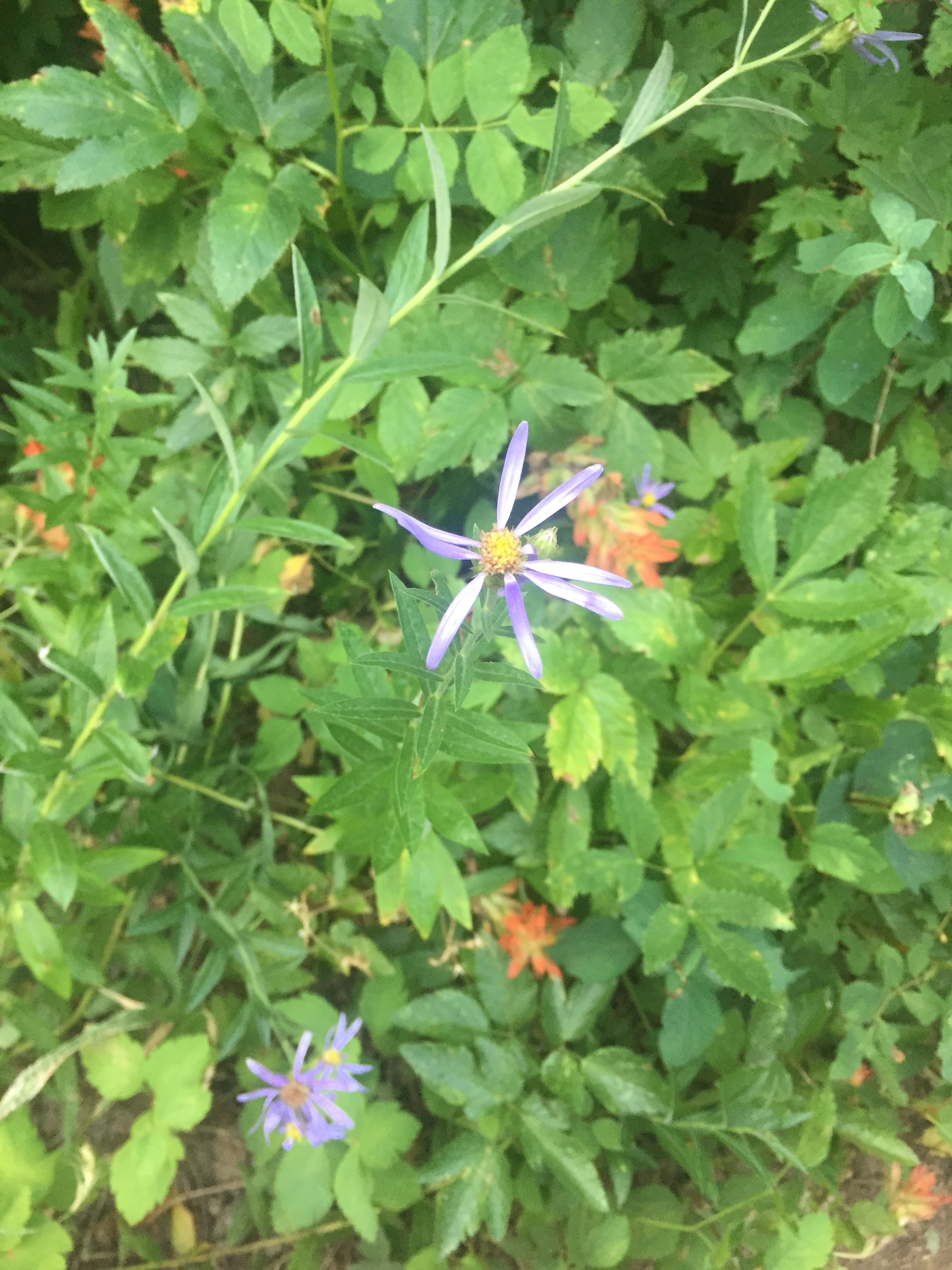
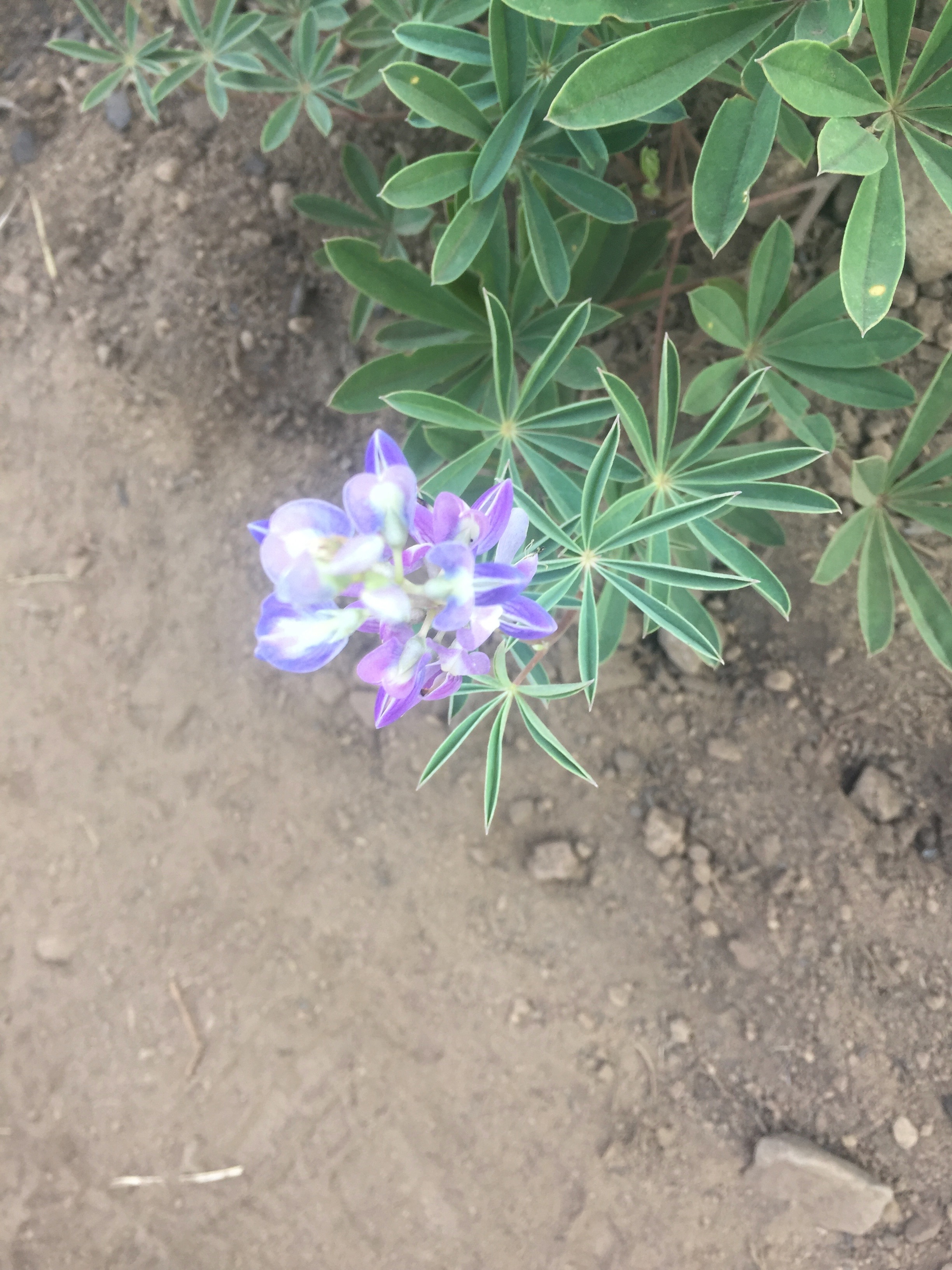
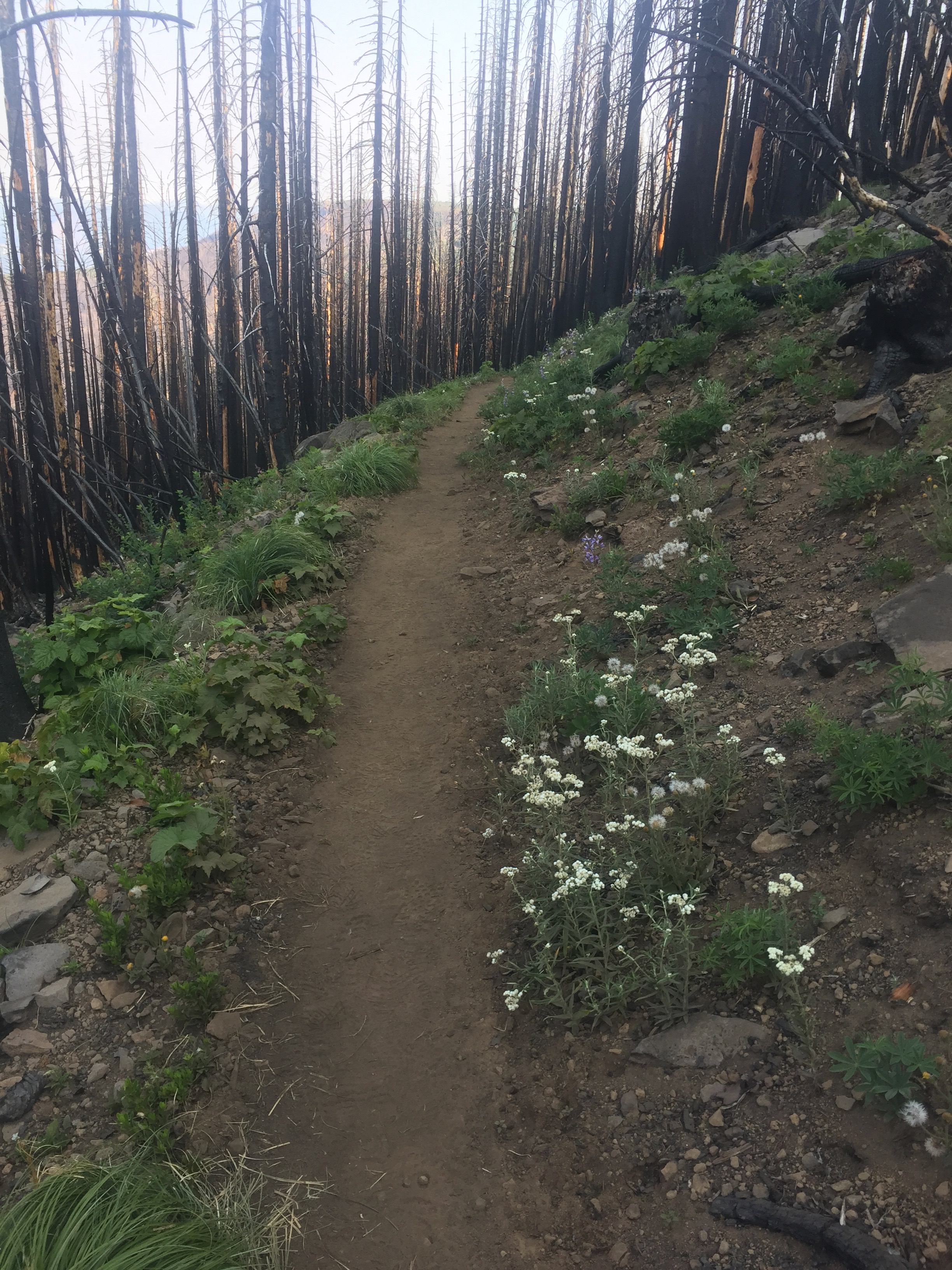
Going in and out of burn areas now and the lush understory with the berry plants are totally gone. Wild flowers however are starting their comeback.

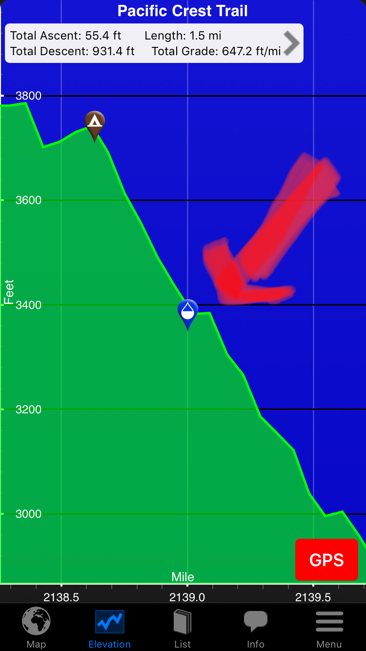
There are two main apps to help navigate the PCT. One is called HalfMile and the other is Guthooks PCT Hiker. The milage I use comes from HalfMile. Guthook and Halfmile generally have a 3 mile difference. At mile 2135 (2138 in the below image from Guthook) shows how the PCT starts the descent to the Columbia River and the Bridge of the Gods (the lowest point on the PCT at 77 feet). It looks as if you are going to fall off the end of the world.
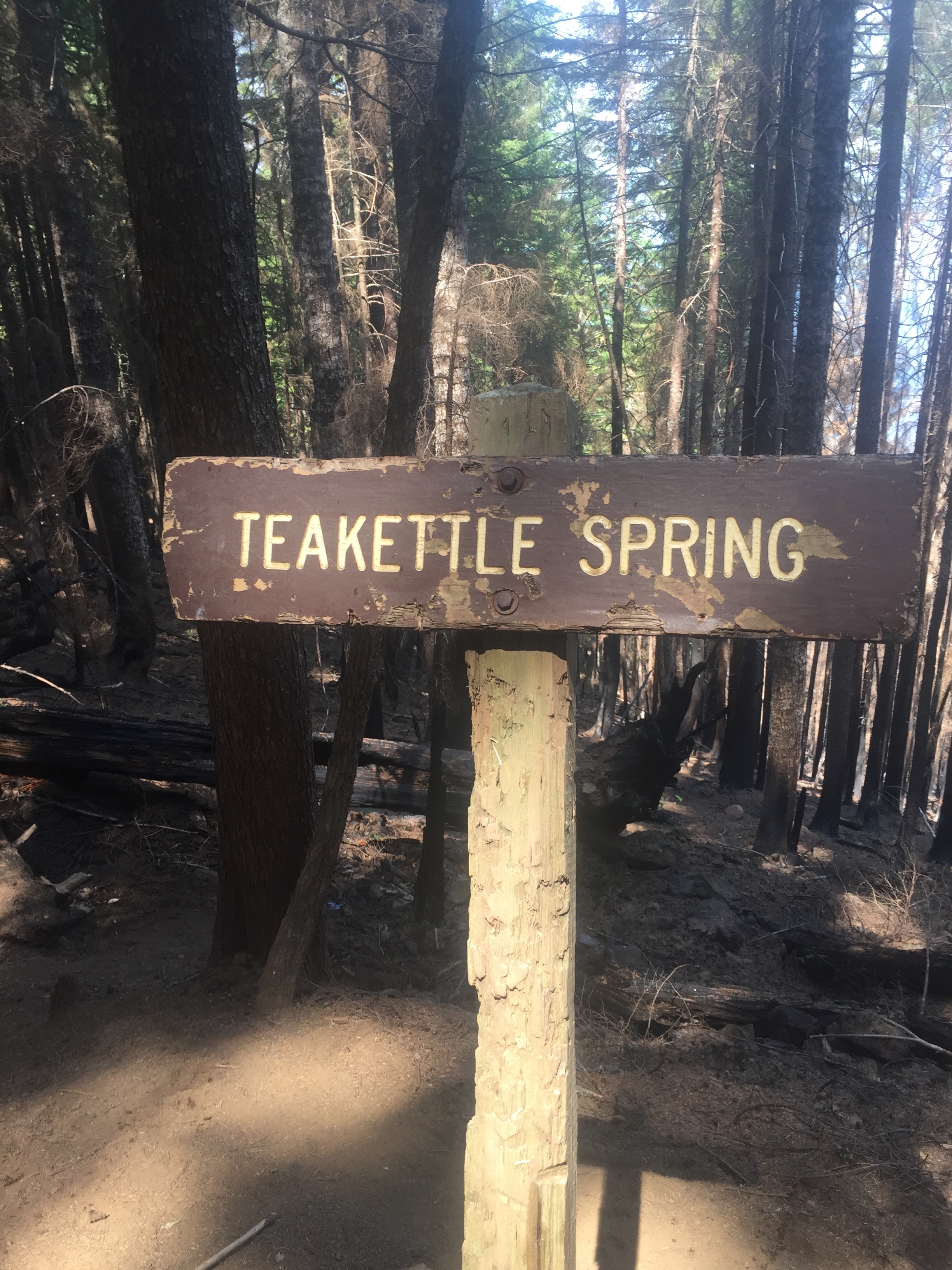
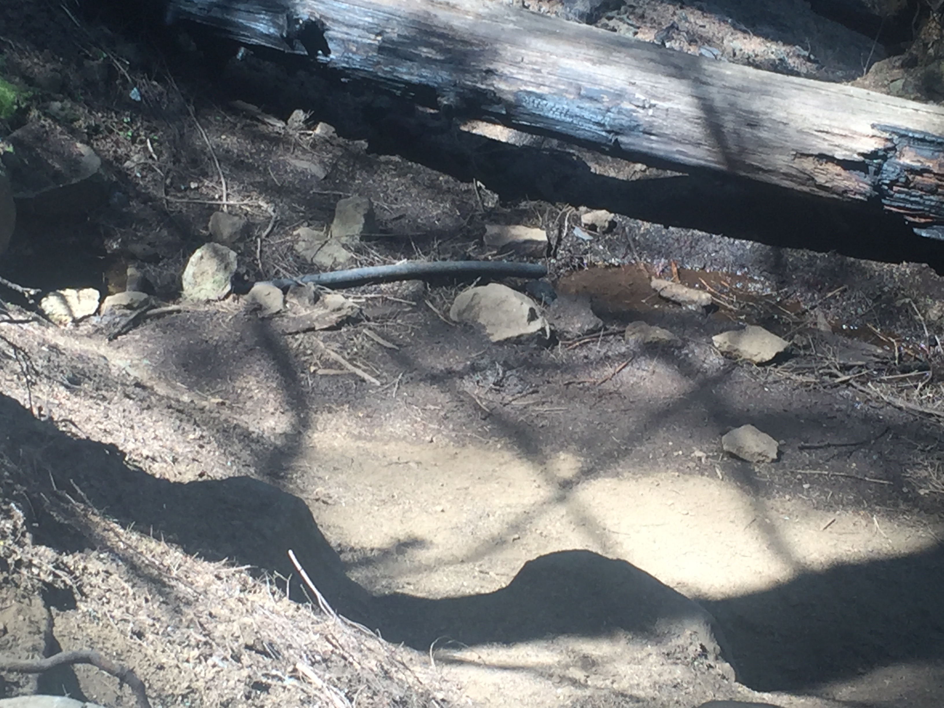
The red arrow in the picture above points at the location of Teakettle Spring. If this was not in a burned out area it would be easy to pass right by without the sign. In the burned out however it is impossible to miss. So the water seeps from underneath a rock and someone has damned it up a bit and put in a pipe to let the water drain down into a pool and then goes underground again. There is about a pencil size stream coming out the pipe and it is delicious cold water. I meet to hikers here and are going South. Benjamin (“Sly”) and Conner (no trail name). Benjamin is talking non stop about nothing in particular and indicates his trail name used to be “Story Teller” but he changed it to “Sly”. Conner indicates he thinks trail names are silly. He is going to be a lawyer when he gets off the trail. He is traveling with a dog which is giving him a bit of a problem at this time. The dog wants to play. Conner wants to hike. Conner eventually wins the battle
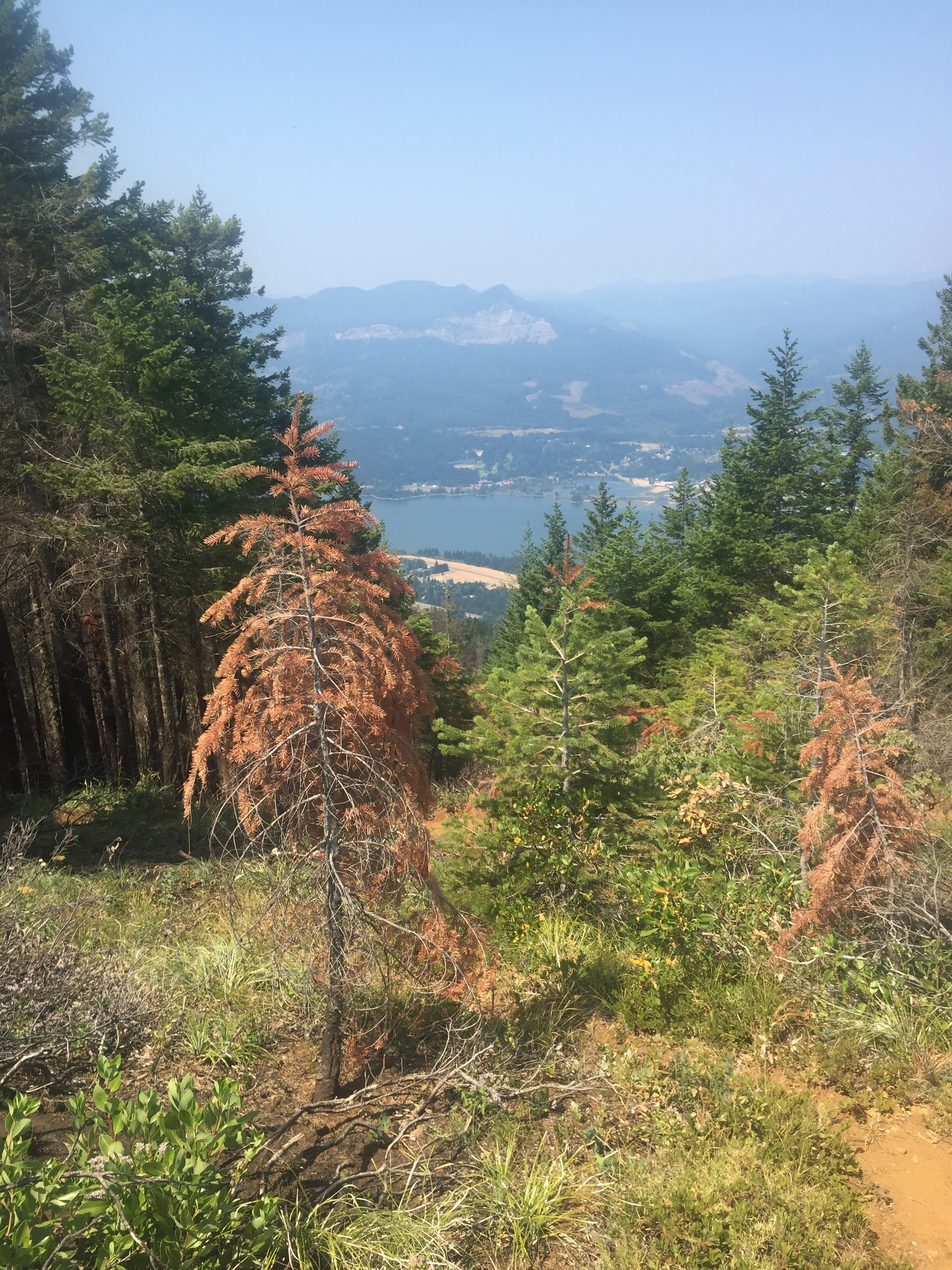
Not too much longer, about 30 minutes, I get my first look at the Columbia River. Hard to believe that is about 8 trail miles away and the most brutal 8 miles I have had on the PCT. Not only is the trail very steep but they seems to have used the most plentiful resource in the area, very sharp rocks, to build the trail. And when a tree fell across the trail rather than cutting the tree they decided to take these very plentiful and very sharp rocks and pile then up on both sides of the tree to create a path. About 7 hours spent getting down! My feet were fine because of the new boots I had but my hips were screaming at me. Had to stop many times and just give them a rest. Once I got down to the bottom at Dry Creek which is an odd name for a creek with lots of flowing water) and there was a spot to camp I just dropped my pack and that was where I was going to stay. Others folks came by and they all went the additional two miles to get into the town of Cascade Locks right by the Columbia River. There was no way I was going another foot. I mentioned to others that came down, as almost all of them stopped at Dry Creek to soak their feet in the cold stream, that I thought that was the most difficult part of the PCT. None of them agreed with me. They all had places they thought were more difficult. They are all wrong.
IPhone;18.3 miles, 45235 steps.
Lenora’s Story
A young hiker Good News (aka David) needed to check the hiker box and get back on the trail at White Pass so we took a ride. It was a chance to get familiar with the area as I expect to pick Don up there. Evidence of wild fires. There is a huge fire-fighter camp here with tents, trucks, equipment. It is strangely empty as the firefighters are deployed all over the mountain as the area covered in fire near here seems to grow daily. The area Don will need to cross next week has a 19 mile detour around the 10 miles of trail that is in the fire. I am thinking this is a good part of the trail to skip over but we shall see.
Good news is that he is only two miles from Cascade Locks and the Bridge of the Gods.
Tomorrow I will move up the road about a block to the Packwood Inn where they have a first floor room that I think might be big enough to not make Don crazy from claustrophobia. Marilyn is great and I like my cozy little room but the other place is very accessible and will be easy to stay in until the room up at Packwood Lodge is available.
Signing off with thanks for the wondrous journey we are on.
