So today it is back to where I started yesterday but going to travel in the opposite direction. The direction that gets me closer to Canada :). Down in the town it is clear and will be hot. However as I start the walk this morning there are clouds on the trail. It is cool but not cold and just excellent conditions for a hike. I plan on going 17 miles today. Start where the PCT crossed Hwy 99 and end where the PCT crosses Hwy 66. Some things amuse me and this is one of them. If you turned the world upside down I would still start on Hwy 99 and end on Hwy 66.
Yesterday there was no one on the trail. I was wondering if today was going to be the same when a young couple raced right by me without saying a word. Shortly after that another young man came by and we talked a bit. It was his first day hiking and his plan was to do all of Oregon in the 13 days he had off. I therefore named him immediately “Optimistic”. He had just flown in from North Carolina and is in the army. He had a 65 pound pack full of food for the 13 days. He estimated he would have to average 33 miles per day to get it done. Not impossible from what I have read in the PCT books. Oregon seems to be the high milage state. We do talk about the fact that there is still a LOT of snow at Crater Lake and that he might not be able to get past there. He did not research it at all before he left and was a little bummed that he might not be able to do all of Oregon. I thank him for serving in the military and off he goes. I never expect to see him again. However in about 5 miles I do catch up to him at a small stream where he is getting water and I am going to do the same. He indicates he was getting worried because he was not carrying much water and I told him that there was this stream and one in about 2 miles and that was it for another 10 miles or so. He wondered how I knew that and I told him about the Halfmile application that tells you all the important information about road crossings, camp sites, and most importantly WATER. There was phone service at this point in the trail and so he downloaded the application and was amazed and thanked me profusely. The reason I was able to catch up to him was that he had packed his filtering equipment at the very bottom of his pack and had to spend a lot of time unpacking, finding, and repacking. Does not take very long to learn those things you want to at the top of your pack. Off he went and I never expect to see him again.
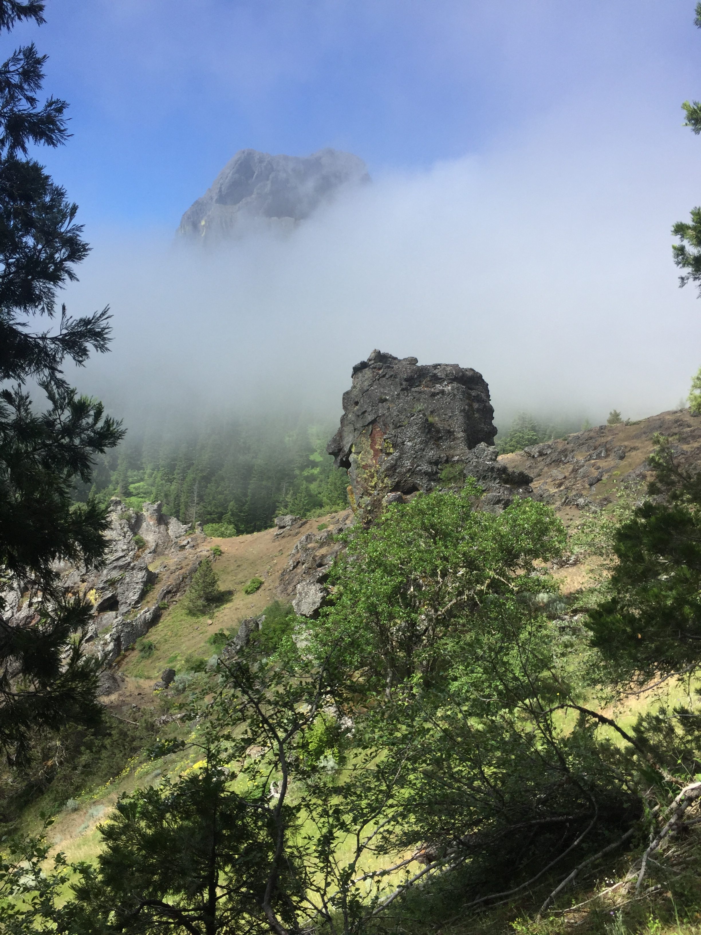
Here are some photos from the beginning of the trail
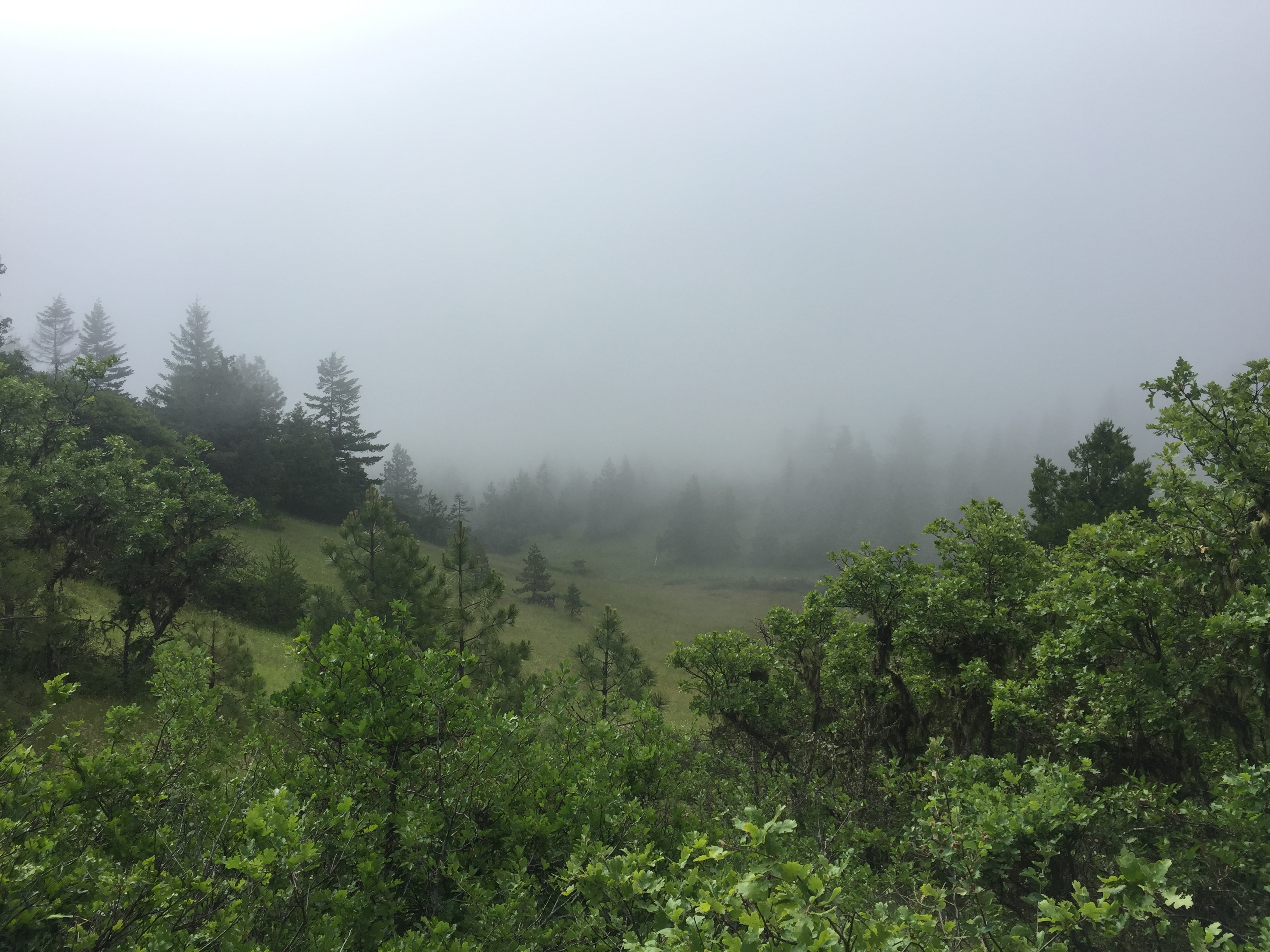
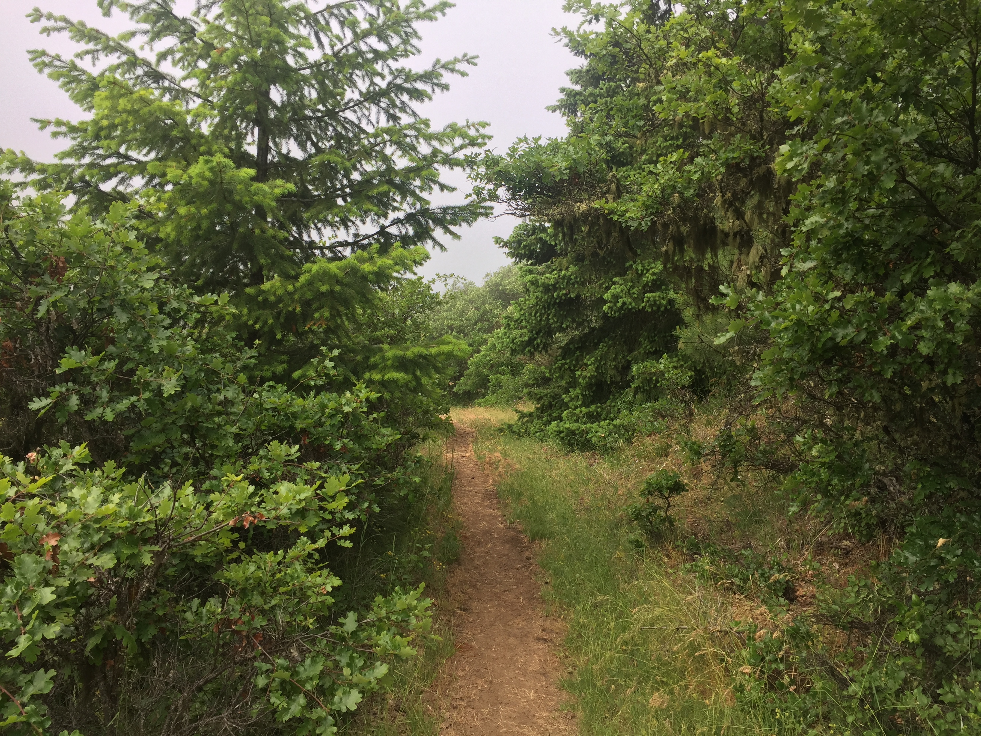
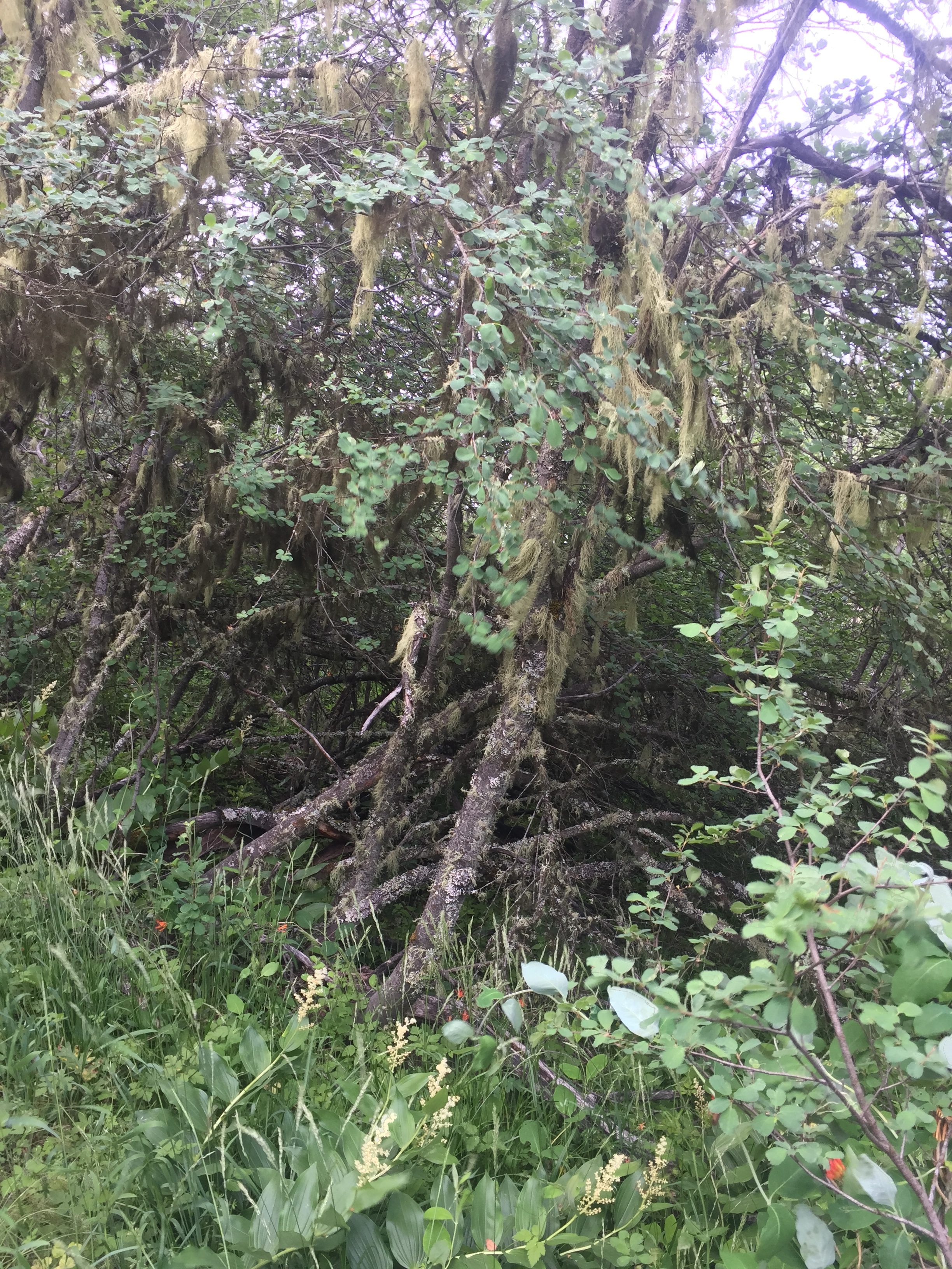
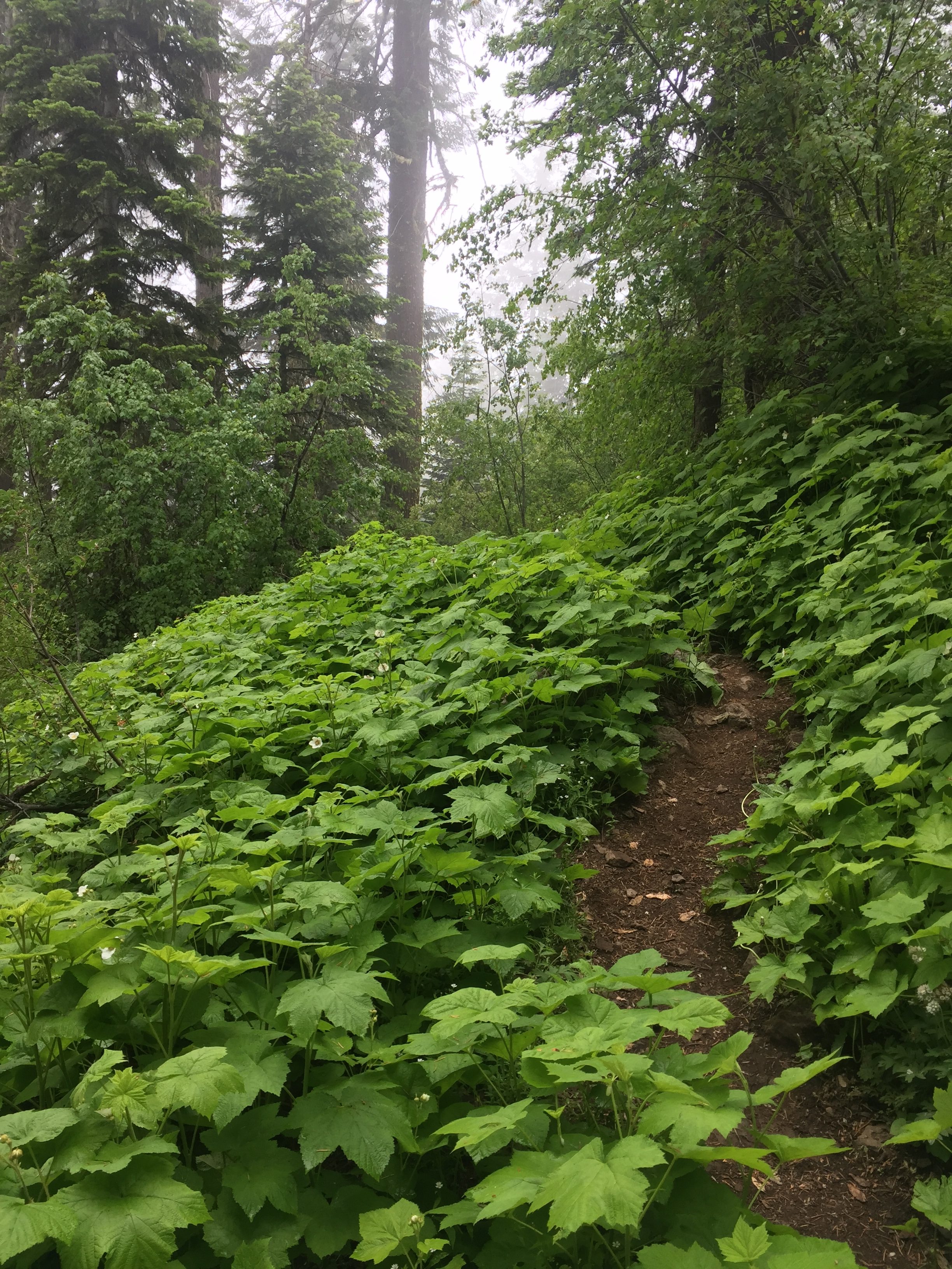
The clouds are still lurking about and there is a bit of wind and it just makes for very comfortable hiking. The hike is going through the Cascade-Siskiyou National Monument which was established in 2000 and is the nations first monument designated in recognition of an area’s biological diversity. Reminds me of the quote from Aldo Leopold
“A thing is right when it tends to preserve the integrity, stability, and beauty of the biotic community. It is wrong when it tends otherwise.”
This is also within the Soda Mountain Wilderness which encompasses 24000 acres and was established in 2009.
Fairly early in the hike I get to Pilot Rock and there is a warning sign there that this is a Peregrine Falcon breeding site and they should not be disturbed. Pretty exciting but I do not see any falcons. Perhaps they were hiding in the clouds.
There is a family that is camping here. A man, woman, 2 young men and a little girl. They are two tents near by and they seem set. I notice the little girl picking some wild flowers and giving them to her Mom. About an hour later while I am taking a break they pass me and I talk to the dad for awhile. They are on a SLOW hiking trip to do the southern Oregon PCT. He emphasized the SLOW. Anyway I rest awhile longer listening to the birds and get a glimpse of the back end of fox running away. When I start hiking again I pass the family and I don’t ever see them again. Hope they are still having a good time.
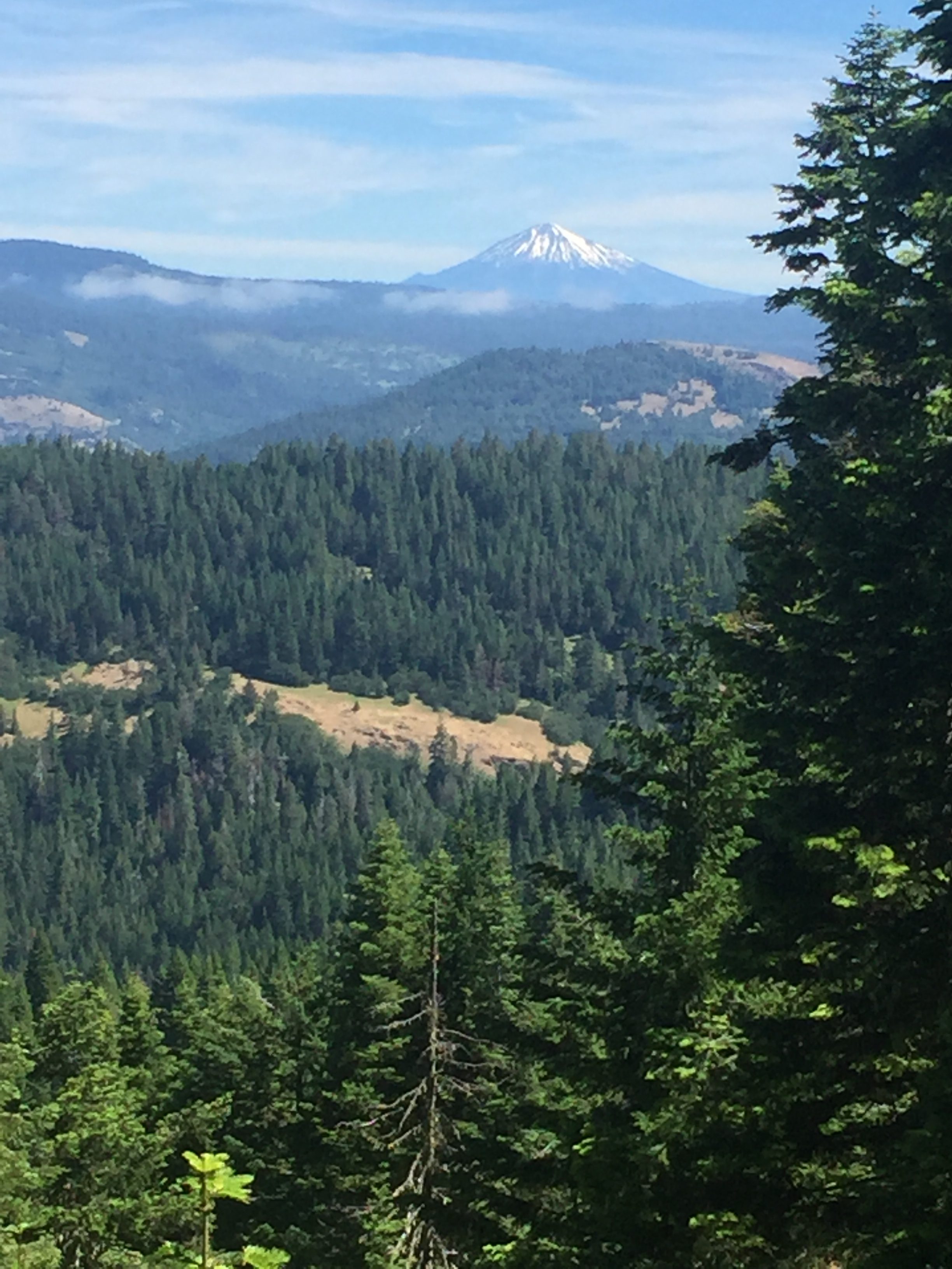
Walking along I get a good look to the north and take this picture of Mount McLoughlin.
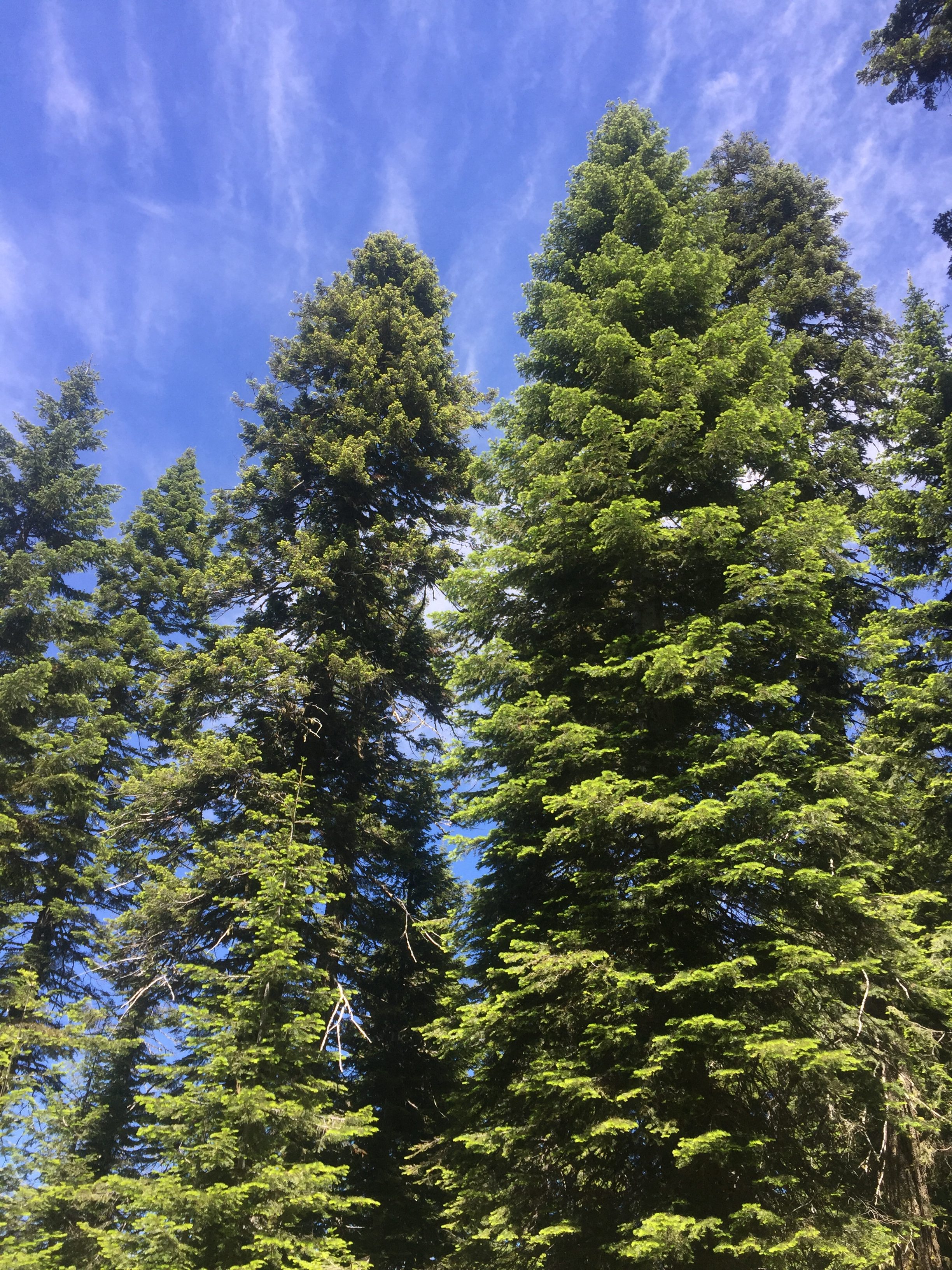
Very very often I am captured by the beauty of the country I am walking through but the picture below was taken while I was resting and lying flat on my back. I look and up and just think WOW.. As I was lying there enjoying the view, a large group of “older” people walked by. They were on a day hike they said. There were probably about 20 of them. Talked to them for a bit and one lady indicated to me that there was a little known pond just ahead where I could get some water. As one of the last ones walked by I heard him say to the others: “Hey why don’t we ever take breaks like that”.
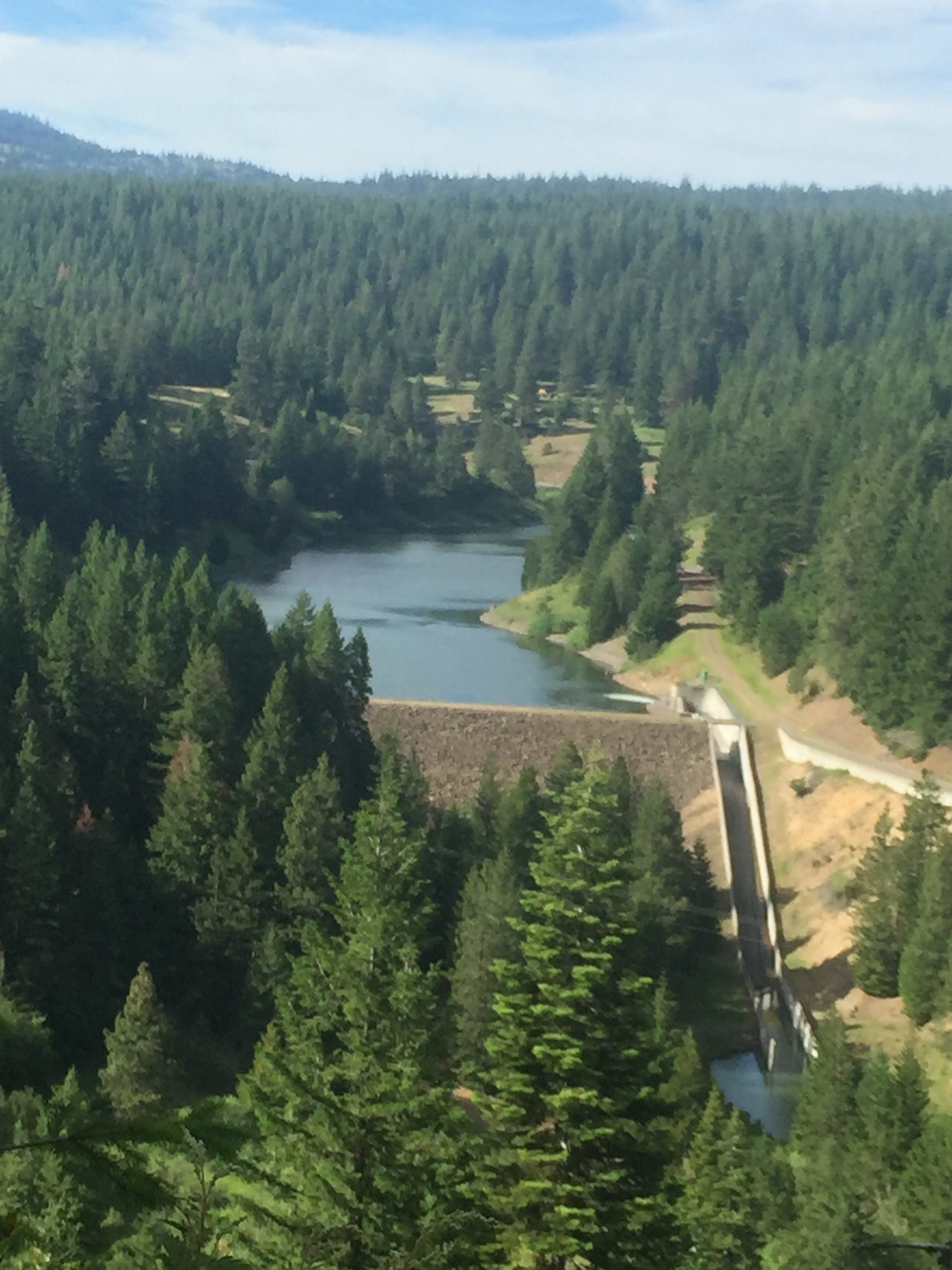
It was a beautiful day hiking and just before getting to Hwy 66 I have this view.
As I get down to Hwy 66 who do I see but “Optimistic” sitting in the shade. I indicate I never expected to see him again and he said he got to this road and started thinking about his plans. Since he can’t do all of Oregon due to the snow what does he really want to do? I sense the PCT has already taken a toll on him. He indicates he will probably want to hike to Hwy 140 (this is at the base of Mount McLoughlin) but that is 40 miles from Ashland. I indicate that we, probably just Lenora, would be able to pick him up if that is what he wanted. He then started wondering if he even wanted to go that far or just go in with me now. Either one I indicated. After awhile he decided to keep hiking towards Hwy 140. We traded phone numbers and I told him to just call when he needed a ride. Off he went and this time I was sure I would see him again.
It was a good day. Heavier pack, more miles, and all good at the end of the day.
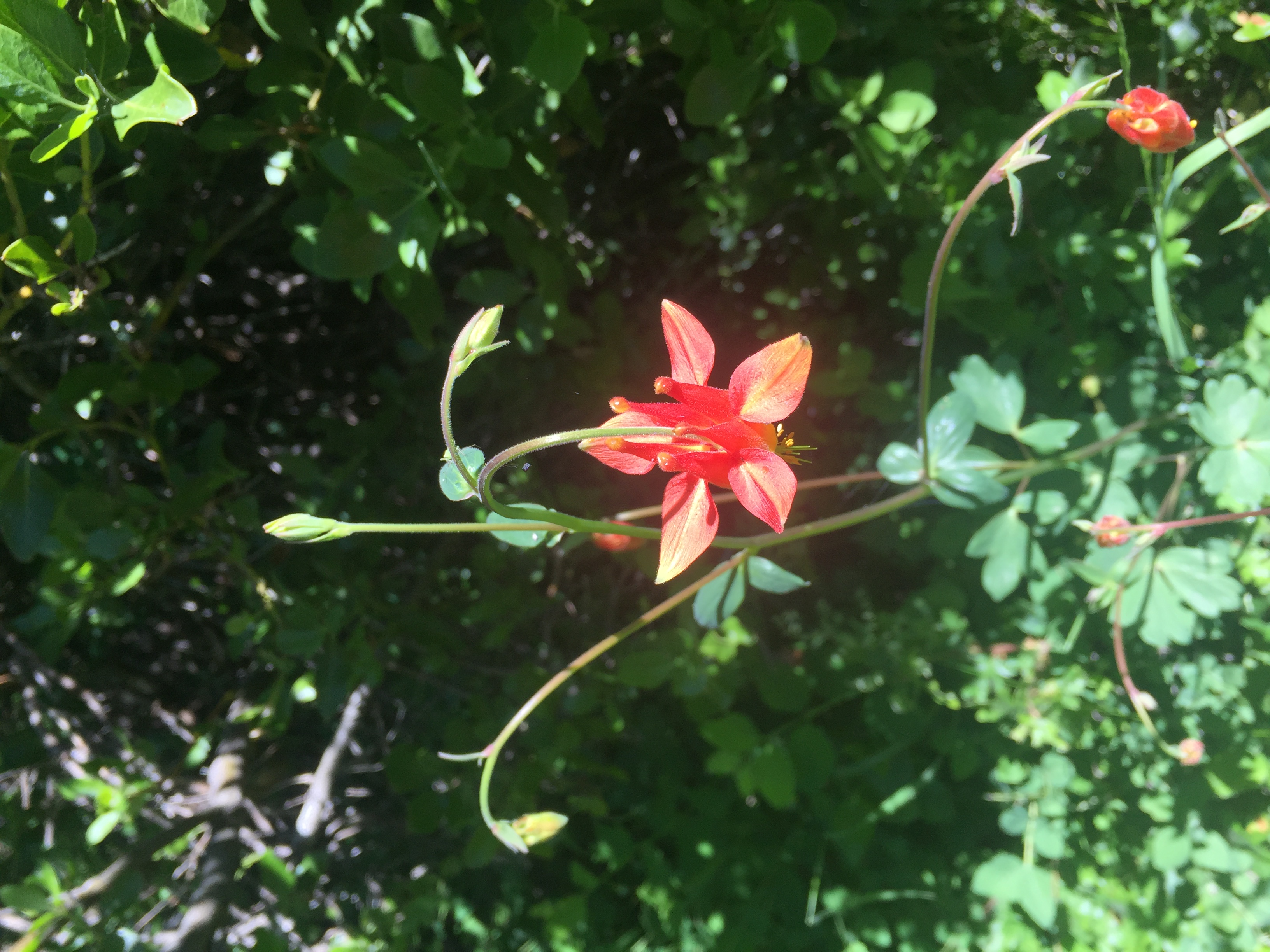
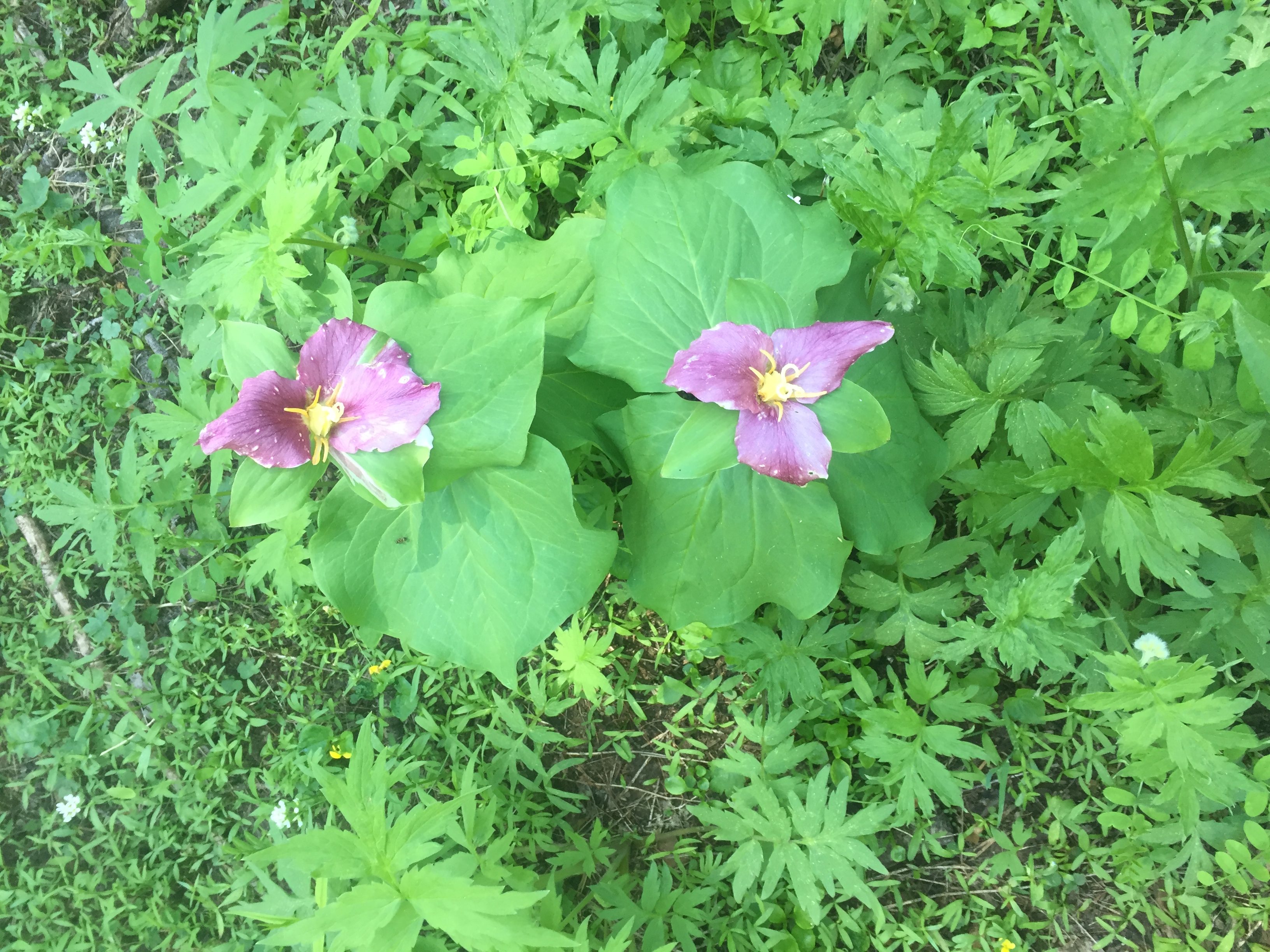
Here are some wild flowers from along the way.
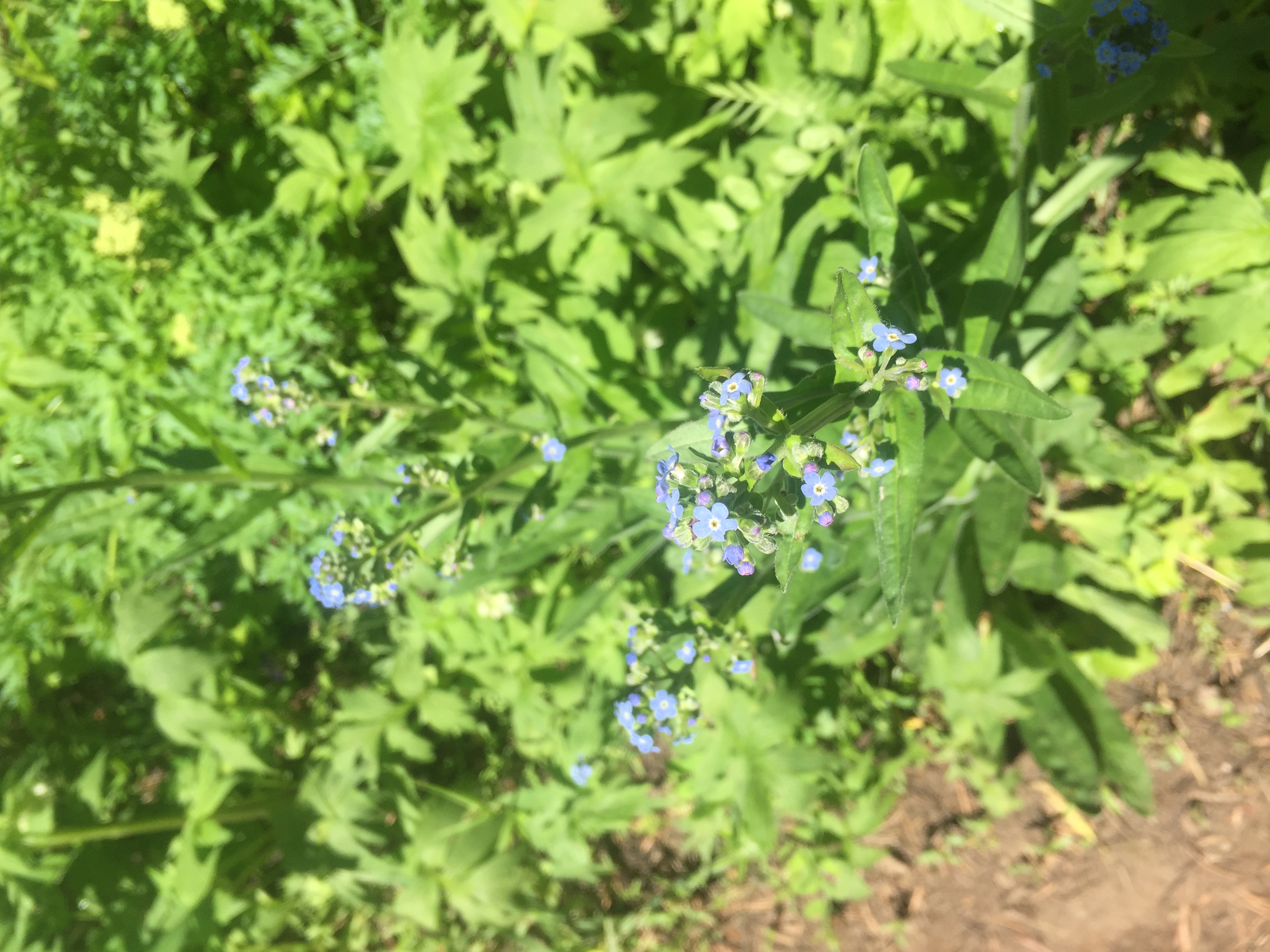
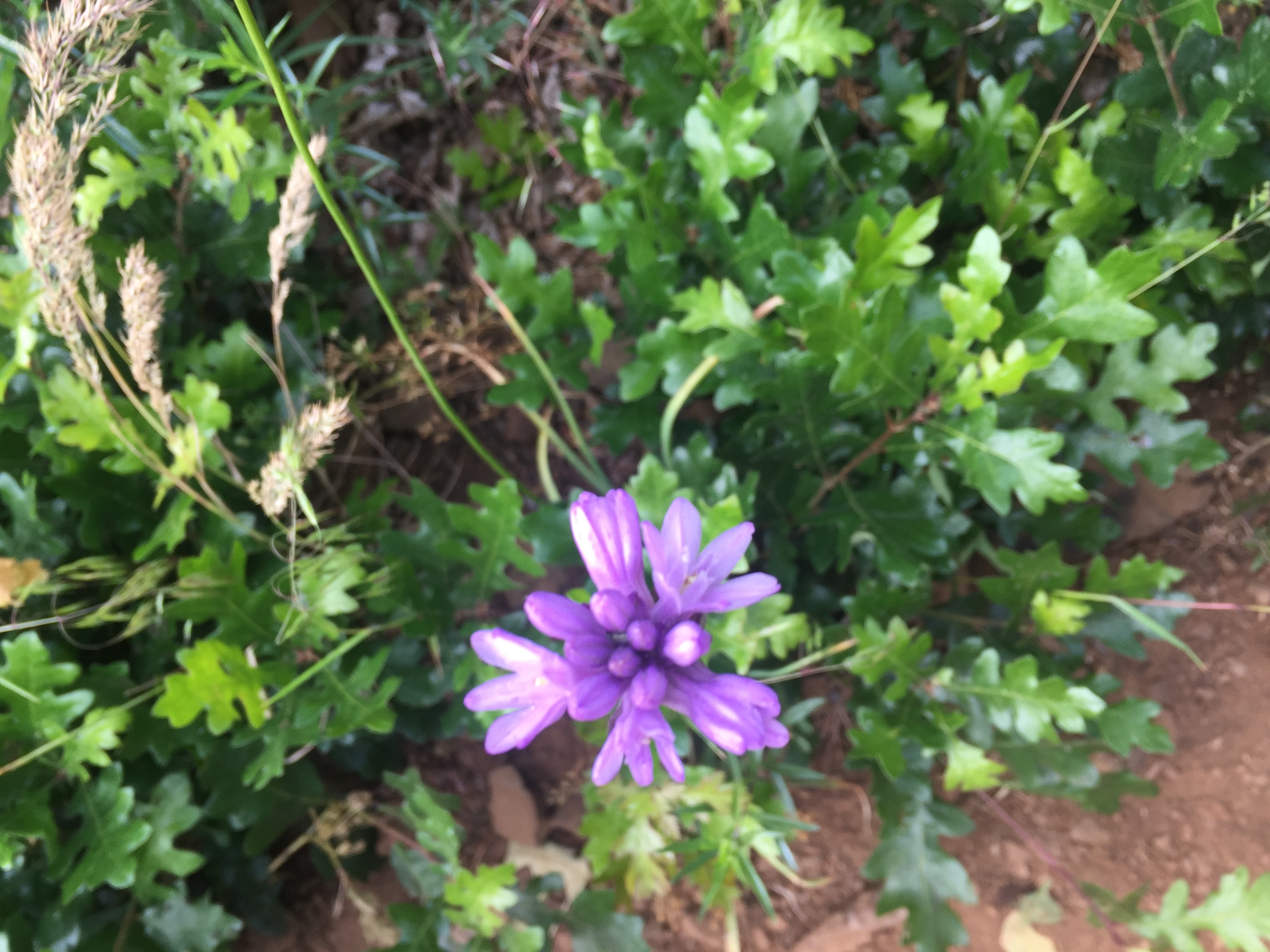
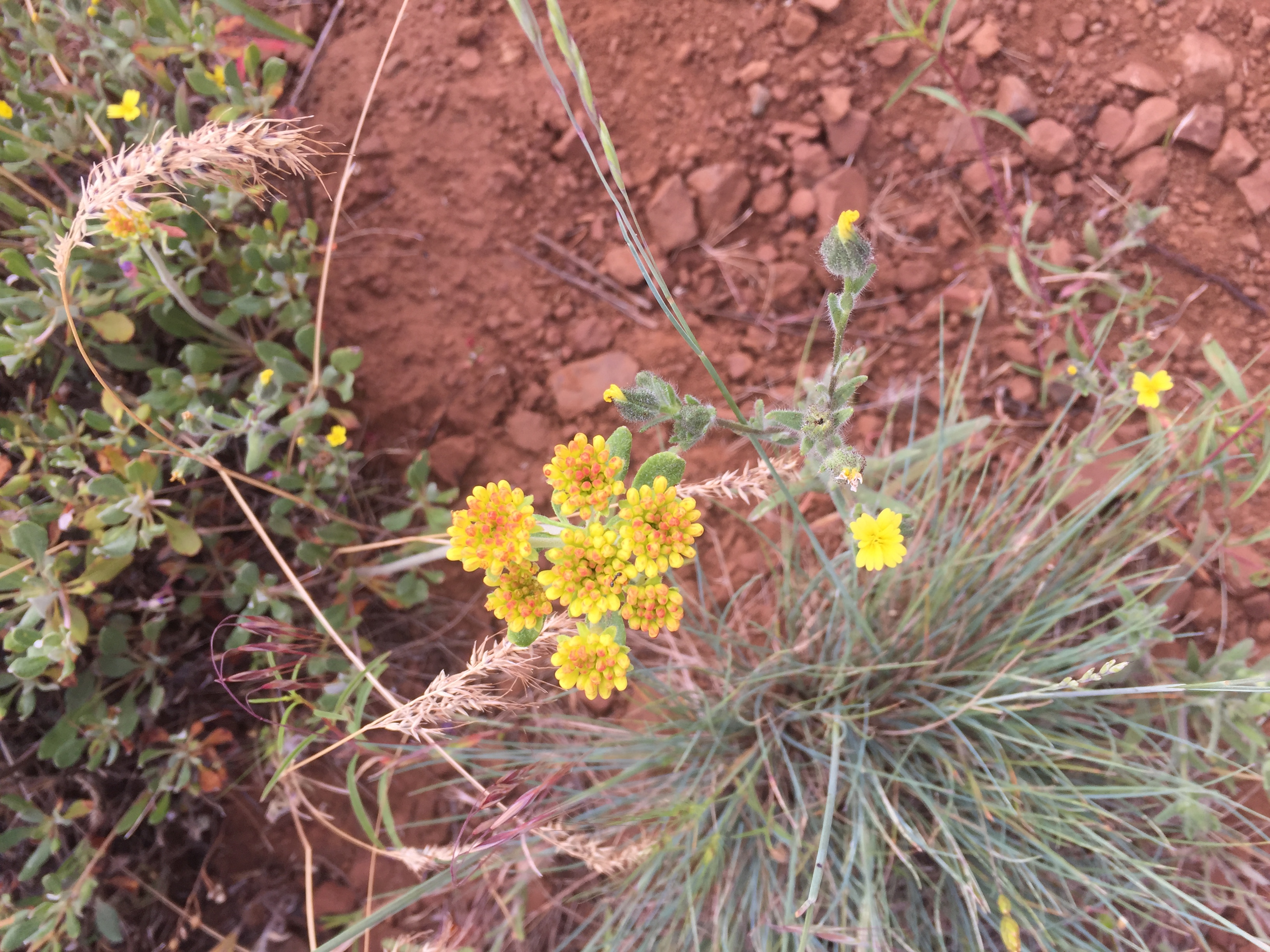
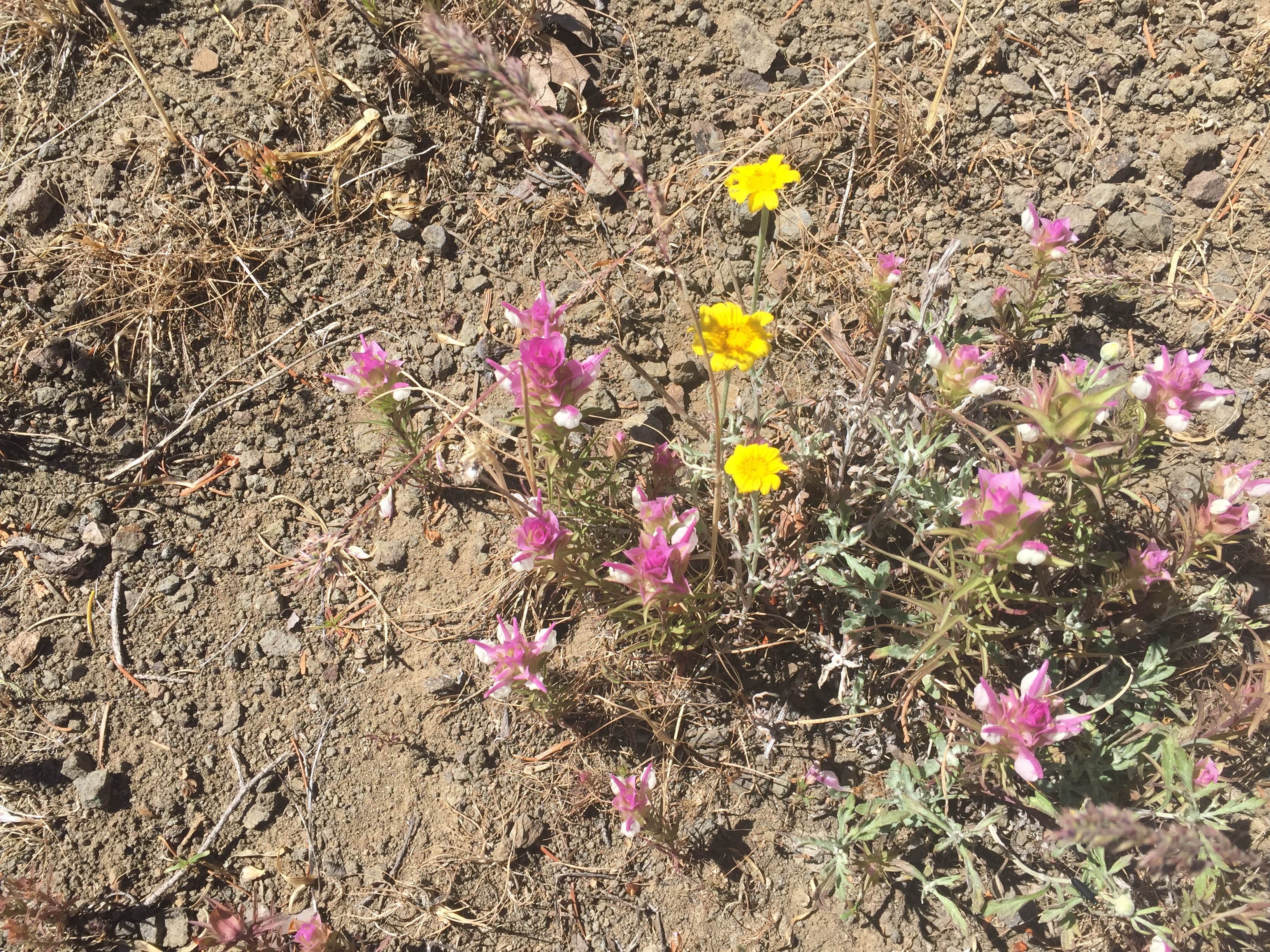
Those clouds look close enough to touch. Happy for a good day. I love all the pictures, it’s nice to get a glimpse into the sights and pretty flowers you see along the way.