So I start out a new week by skipping a few miles more out of convenience than anything else. Hwy 3 PCT crossing is easy to get to and we have been there doing trail magic stuff. As it turns out it was an excellent decision because of happenings later in the week.
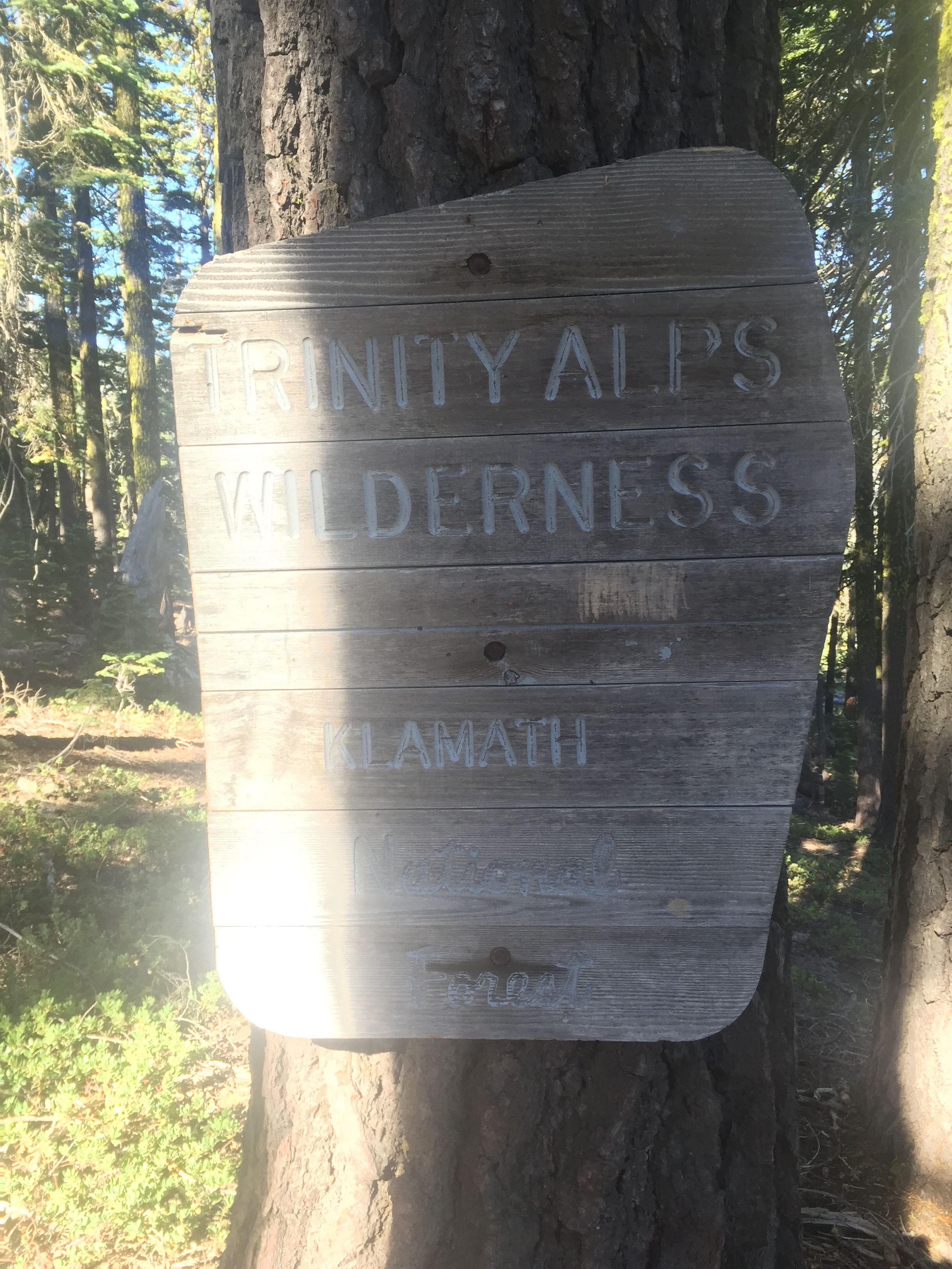
Some info on the Trinity Alps from wiki
The Trinity Alps Wilderness is a 525,627-acre (2,130 km2) designated wilderness located in northern California, roughly between Eureka and Redding. It is jointly administered by Shasta-Trinity, Klamath, and Six Rivers National Forests. About 4,623 acres (18.71 km2) are administered by the Bureau of Land Management. The wilderness is located in the Salmon and Scott Mountains, subranges of the Klamath Mountains region. The high, granitic and ultramafic peaks of the eastern half of the wilderness area are known as the Trinity Alps. Granite peaks at the core of the area are known as the White Trinities, reddish ultramafic peaks in the southeast are known as the Red Trinities, and the forested mountains in the western half of the wilderness are known as the Green Trinities.
The botanical diversity of the Trinity Alps is quite unique. The region has intrigued botanists for many years because of the predominance of the Sierran flora only 60 miles (97 km) from the Pacific Ocean. Conifers common in the Sierra Nevada such as foxtail pines, lodgepole pines, western white pines, whitebark pines, ponderosa pines, red firs, and white firs are also common in the Alps alongside the endemic Brewer spruce.[3] Large wildfires swept through the western forests in recent years.
Wildlife species include black bear, black-tailed deer, mountain lion, coyote, and bobcat. Bears are common in the wilderness, so use a bear bag or bear canister.
Glacial cirques dominate the high country. The highest point is Thompson Peak at 9,001 ft (2,744 m).
The trail starts out with an ascent but it is rather calm and the weather is good for hiking. Still hot but not TOO hot and the views are just spectacular. The fire up at Crater Lake in Oregon is still going and will hear later that the fire jumped the ridge and both trails in that area have been closed. As it currently stands you have to take a 40 mile ride around the fire OR walk on a roadway for 40 miles without water. But I won’t get to Crater Lake soon and things can change.
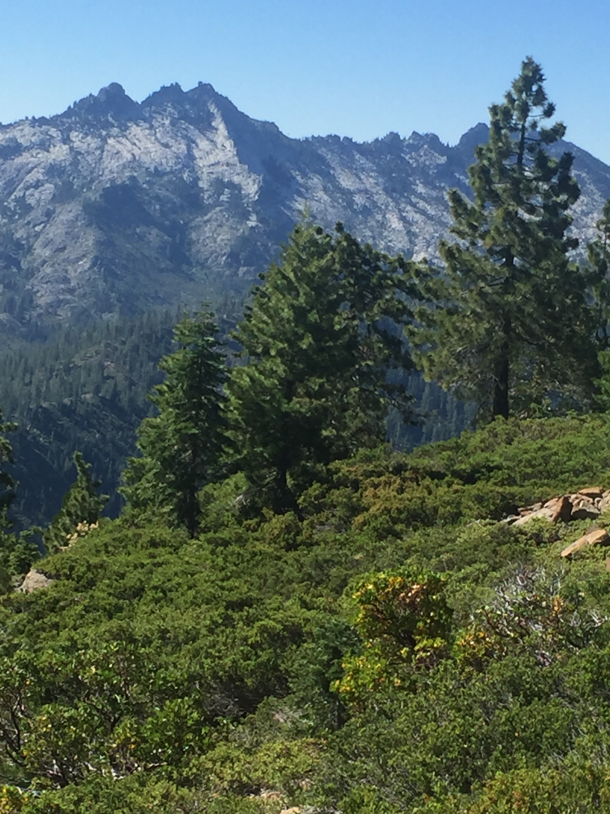
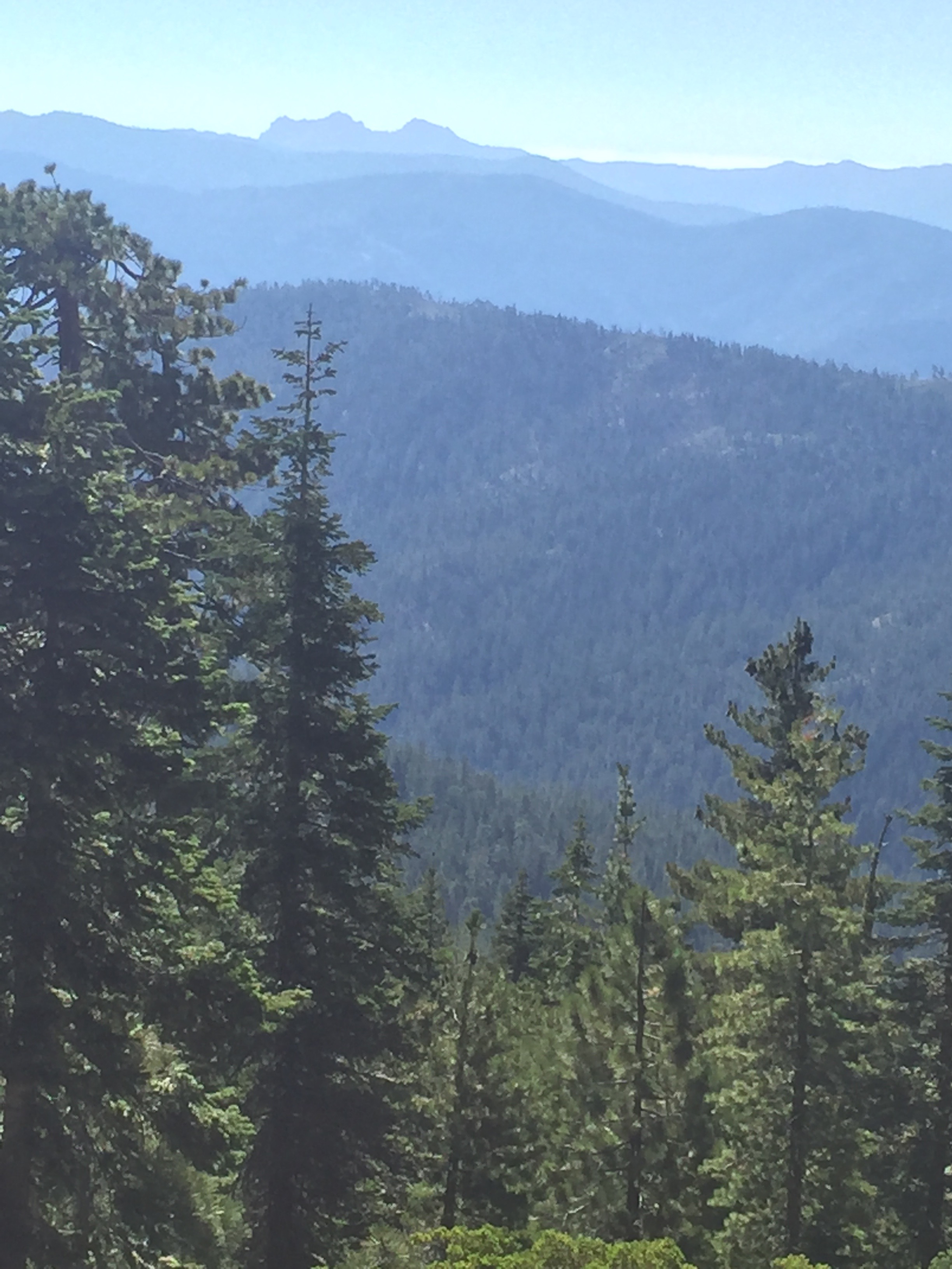
This area reminds me of the High Sierra for beauty. Just amazing views. It is being a very quiet day. I have seen nobody on the trail all day and will not see anyone.
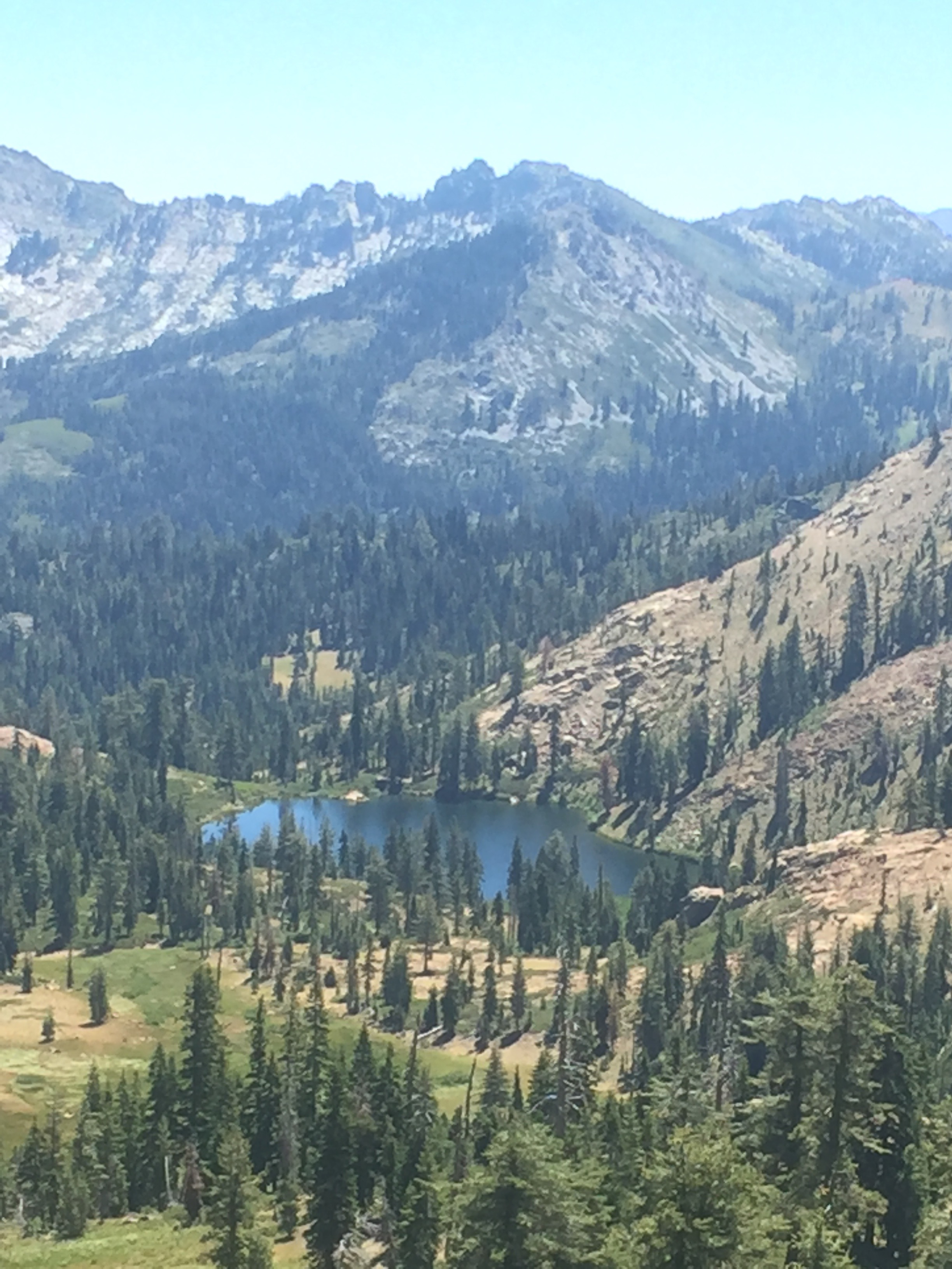
My cough is still pretty bad and each time I cough I get a sense (taste or smell not sure which actually) that there is infection. But without the heat I can manage and feel good.
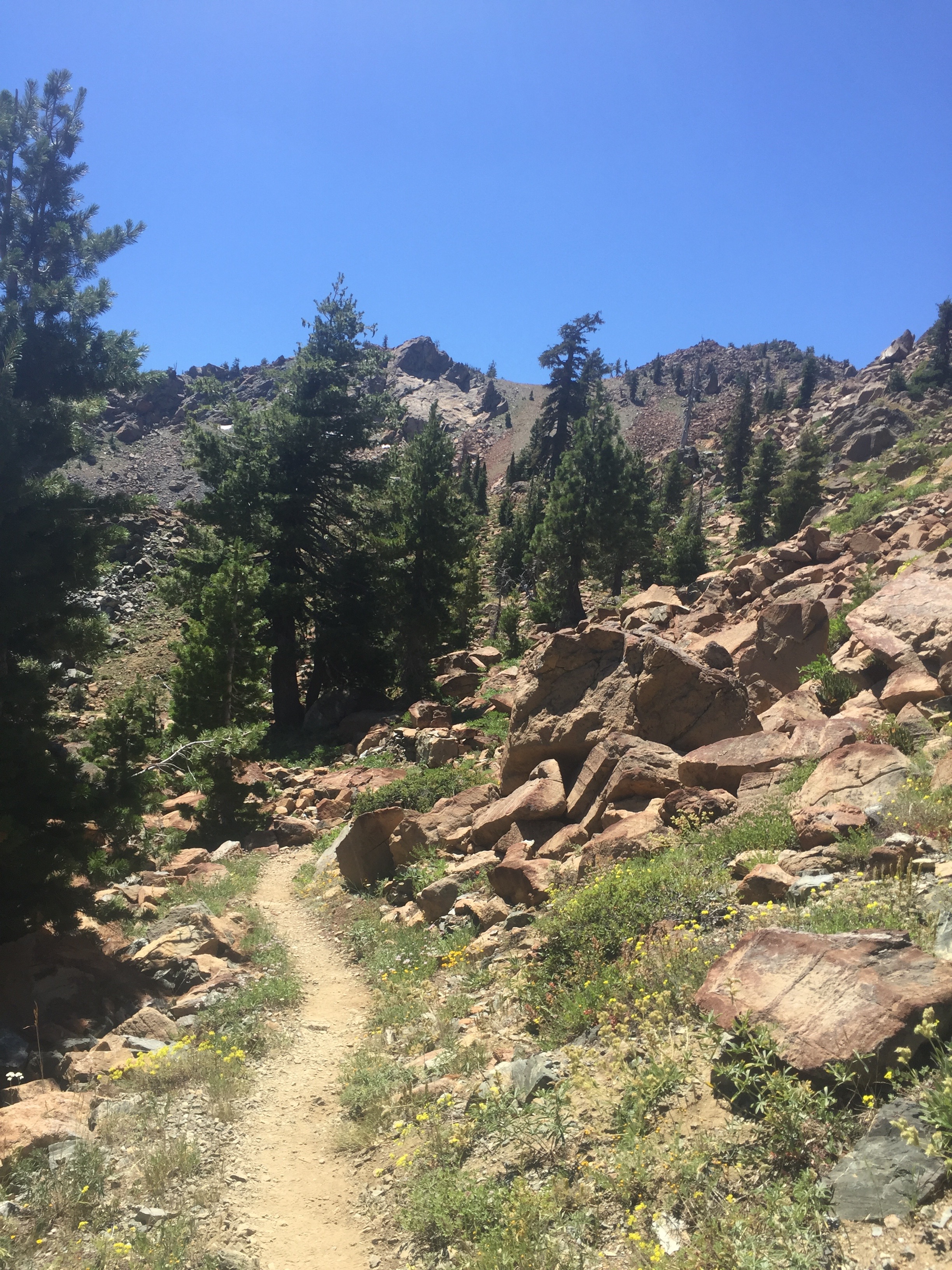
The habitat changes a bit as I go up in elevation and turns rather rocky. This shot does not do it justice and the rocks seemed much more reddish that is shown.
SIgh… Mt. Shasta.
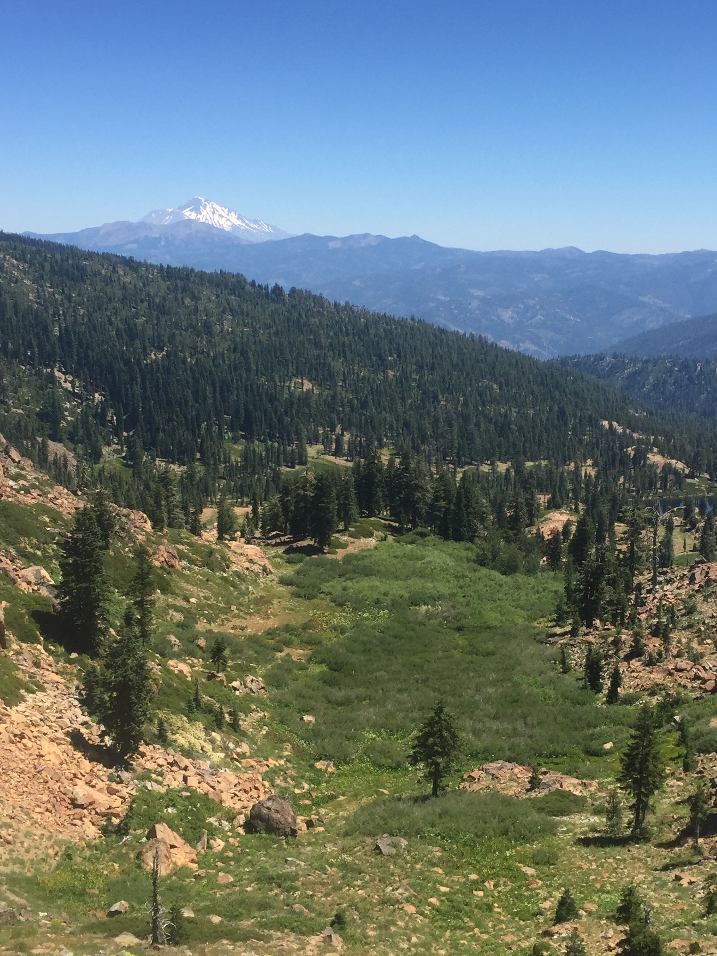
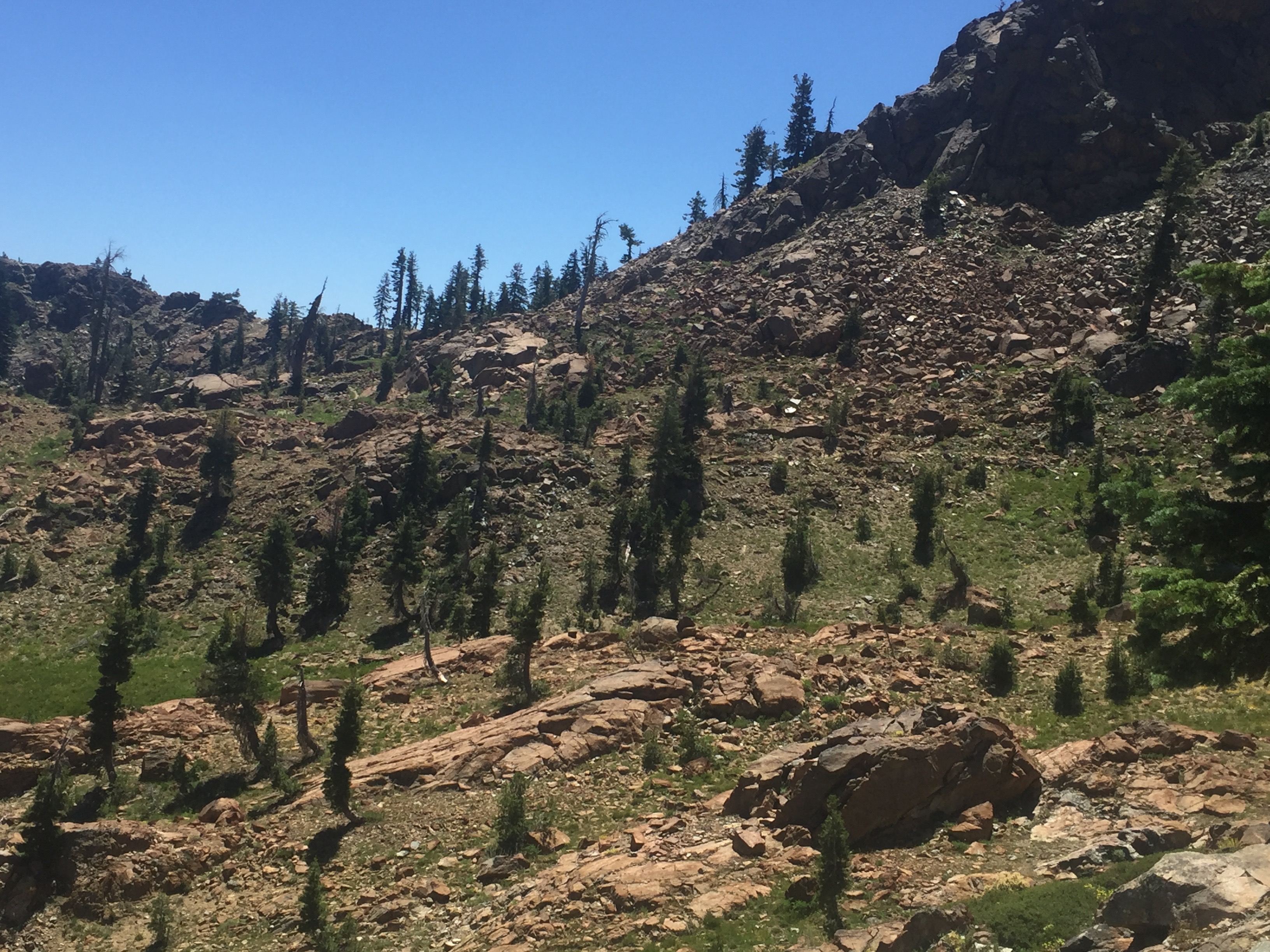
Reach a point on the ridge where there is a nice view on both sides. Don’t those lakes look like they would be worth jumping into?
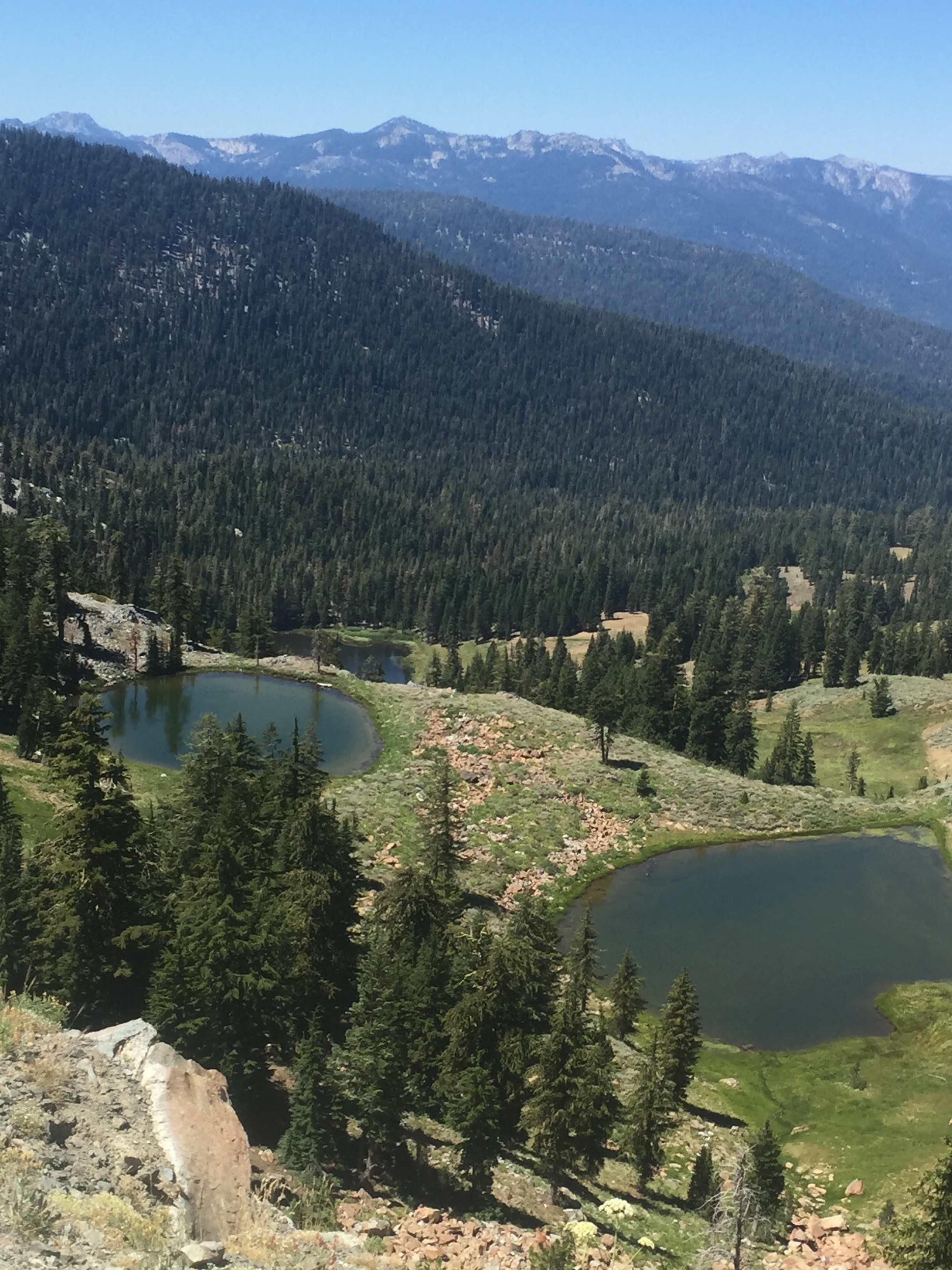
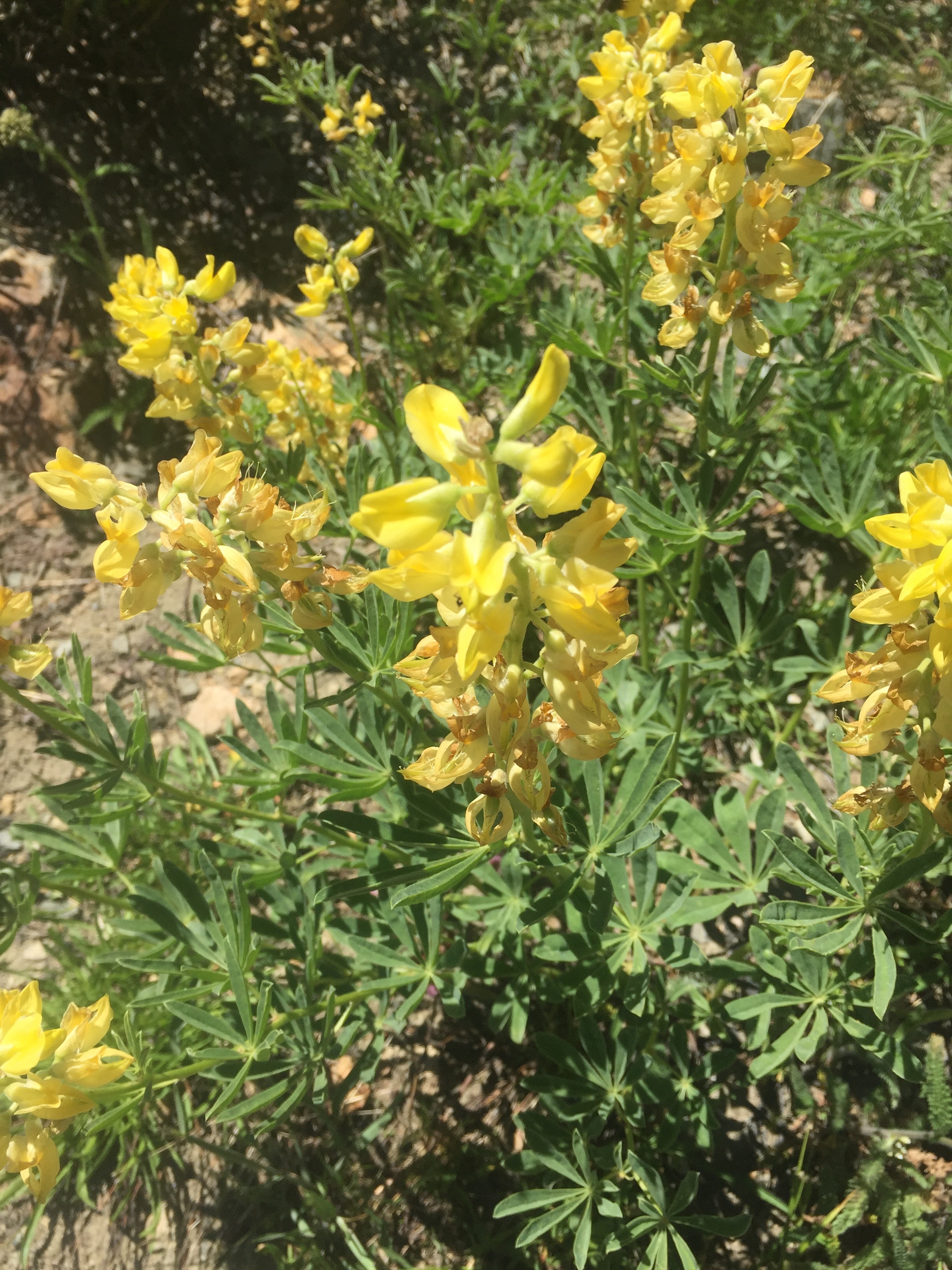
Got to get water every now and again and at a small stream these little beauties were growing.
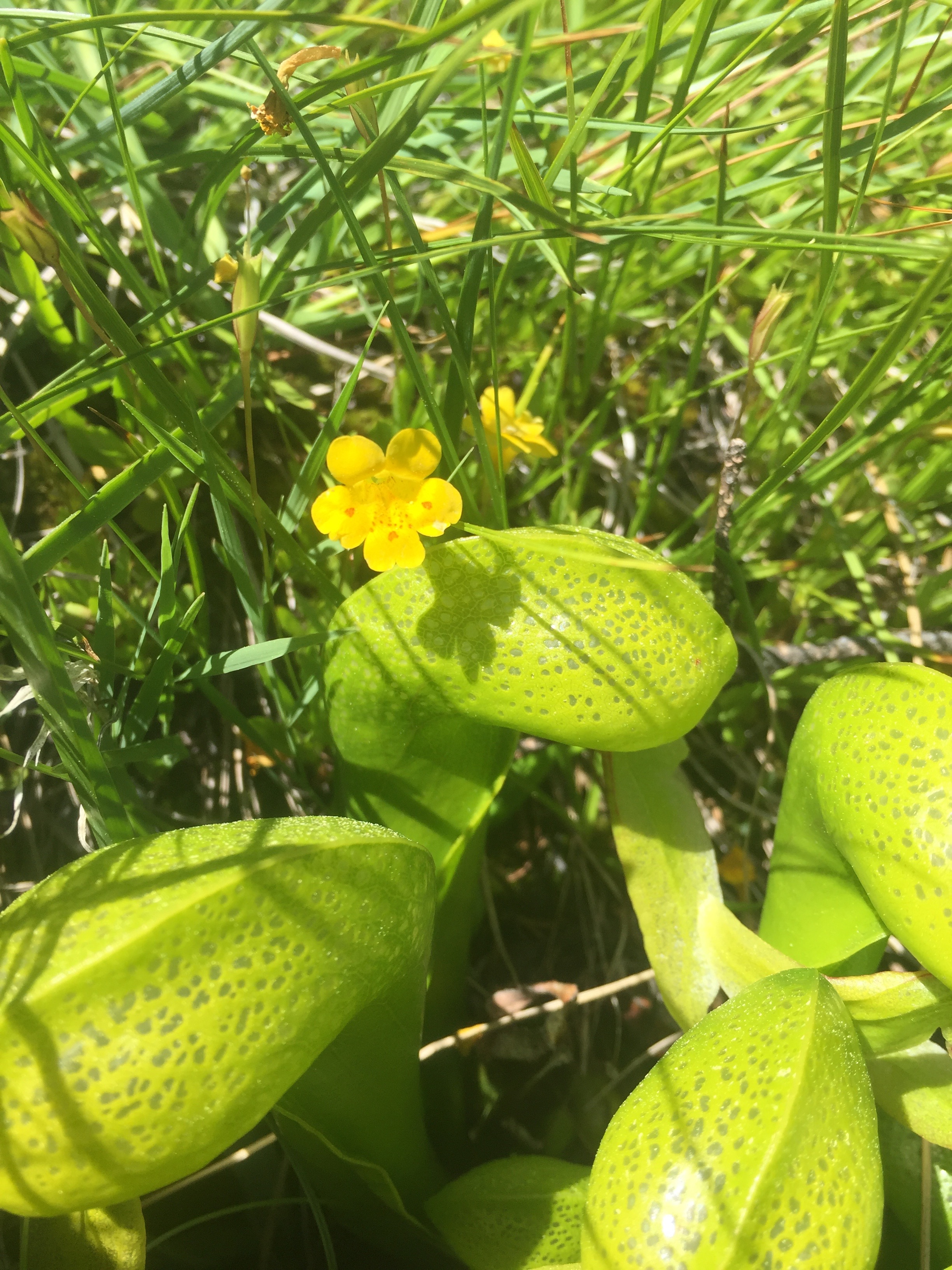
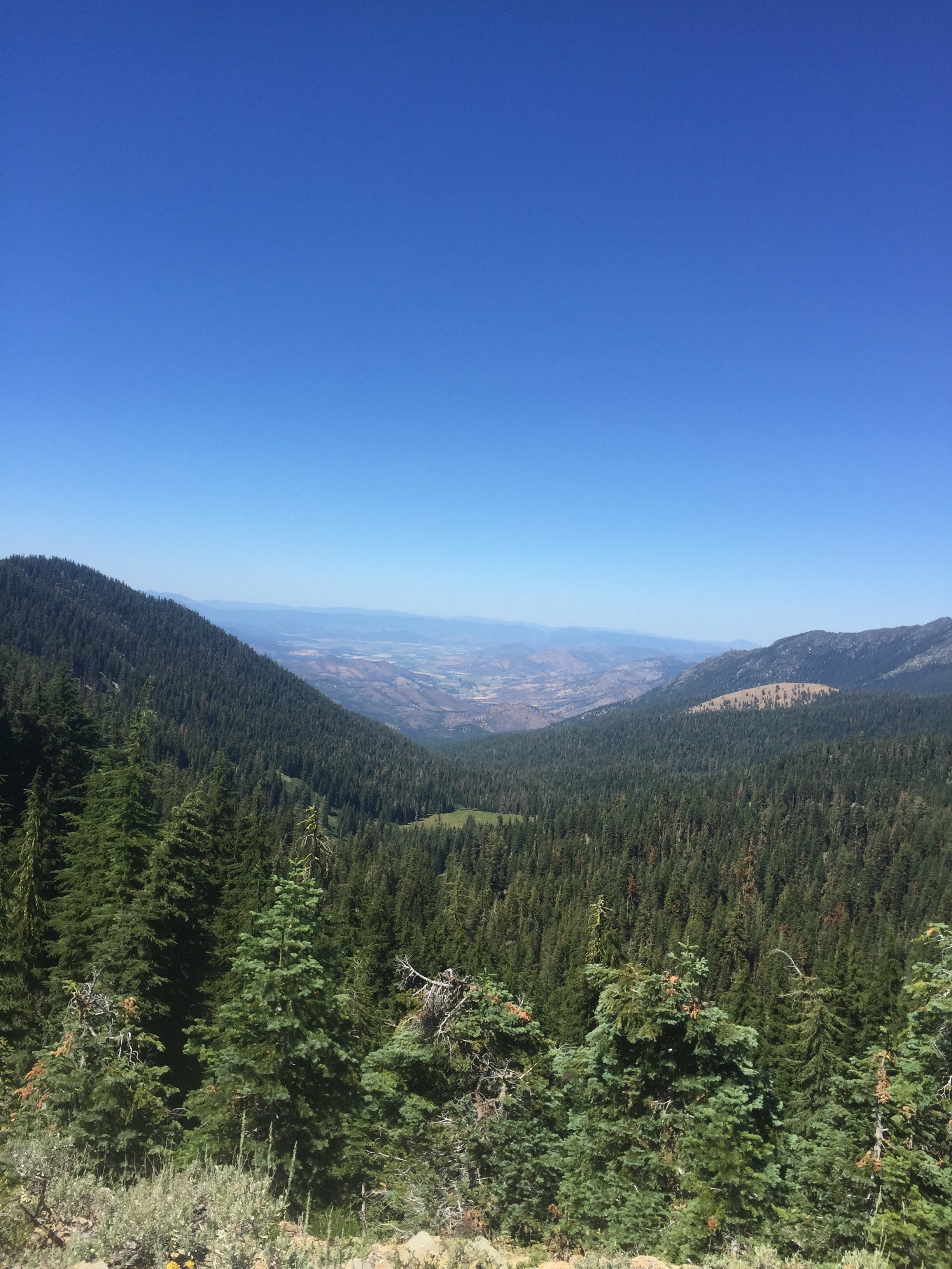
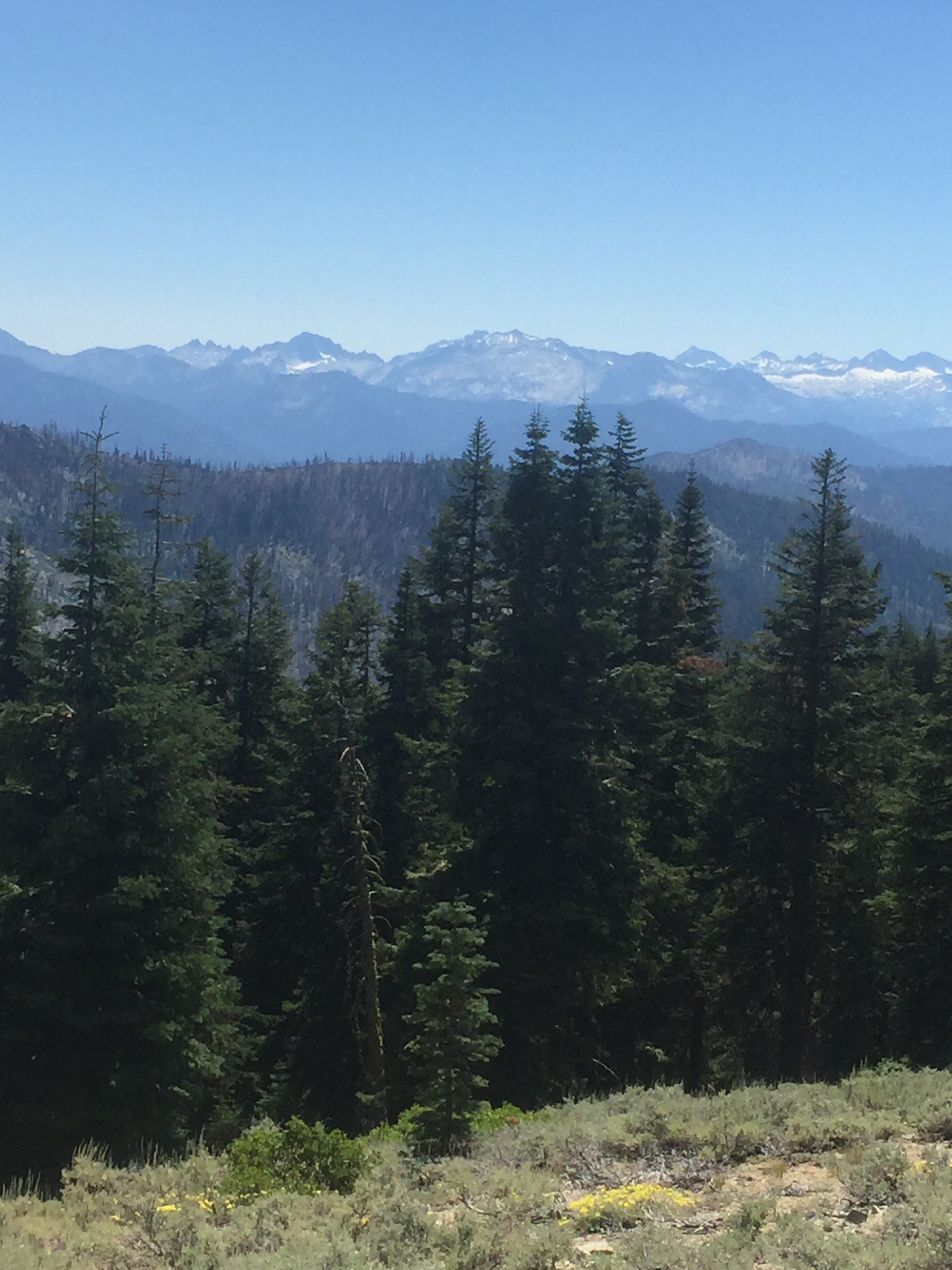
Get to another ridge point with a great view on either side. Nice valley on one side and mountains on the other that look to have a fair amount of snow on them.
I stop fairly early after 17 miles. My camping spot is really small and a little off the trail. Later that night I hear some other hikers on the trail and they camp pretty close to me but nearer the trail. I do not have a great night sleeping and I am coughing most the night. I hope the others are far enough away to not be bothered. I get a good rest and spend most of the night looking at a beautiful sky that is aflame with stars. It is a night without a moon and so the stars are brilliant.
The phone says 37000 steps and 35 flights