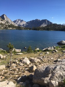
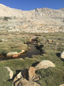
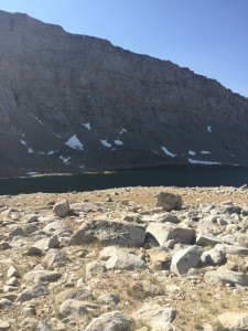
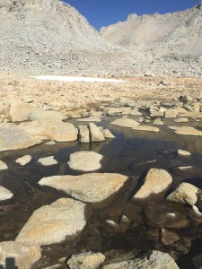
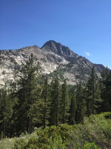
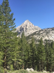
I do not get up as early as I wanted but early enough and start the hike up towards Forrester Pass at about 6:15 or so in the morning. Cool but not cold. Perfect. Tyndall Creek was at 10900 feet and the first part of the hike today gently takes me to 12000 feet and then a someone less gentle (ok way less gentle) ascent to Forester Pass at 13200 feet.
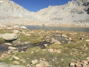
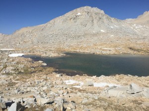
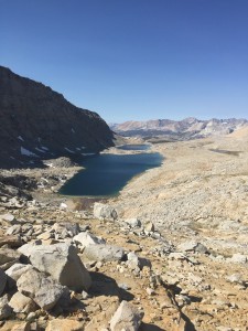
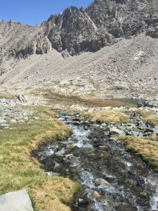
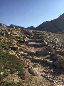
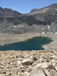
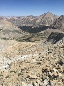
I am not sure words, or at least my words, can do this justice. The hike to 12000 feet was filled with views that took my breath away. Each time I turned my head, I had a picture worth taking. I think I will just let the pictures give you a flavor for this experience. Of course, the pictures, taken with an IPhone do not do it justice either. Here are the pictures on the way to 12000 feet.
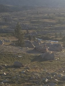
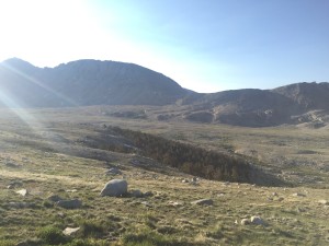
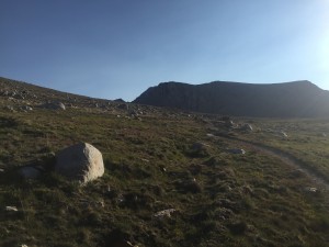
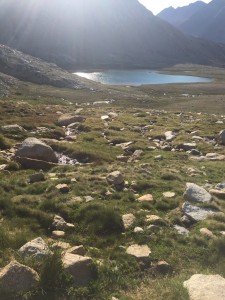
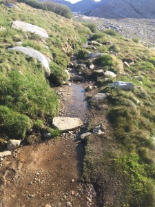
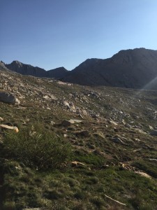
The trail is becoming more and more rocky and frequently you have steps carved into the trail. These would become more frequent and higher. I am 6 feet tall and sometimes the step up was difficult for me to make. I can’t image how people with shorter legs manage the task. They all do.
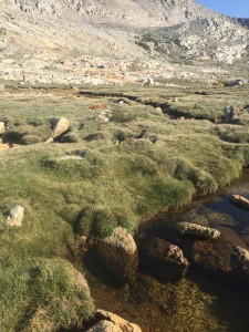
Around 12000 feet it levels off and you have a tundra environment. There are small lakes with streams leading to larger lakes that drain into still larger lakes. I thought I had a picture from on top of the progression but I guess I do not. However here are some pictures of this environment. My Home Owners Association would be happy if I had grass that looked this good in my yard.
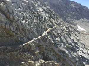
Here I am getting closer to the final ascent to 13200 feet. My destination is the little notch middle which is called Forester’s Chute. I will have a close up of it later. The picture does not do it justice. When standing where I was and looking up you can’t even imagine how it is possible to get to that point
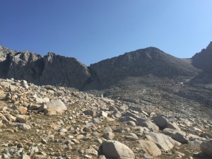
The trail from 12000 the 13200 is pretty steep with looks of big step ups. BUT, not as bad as I had imagined. I took my time and rested often and pretty soon I find myself at the chute. Here is a picture.
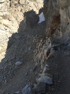
So why was I worried about this point you might ask. Please go here or here and watch a U-tube video of people crossing this point when snow is present. I was very happy to find out there was no snow for me.
Here is part of the trail leading to the chute. The video above gives a better image.
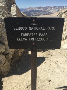
I reach the high point. Pause for about 10 minutes with a bunch of others, including Paul and Sam. It is only 10:15 and so there is still a lot of day left and so we continue on down into Kings Canyon where the majesty just gets better.
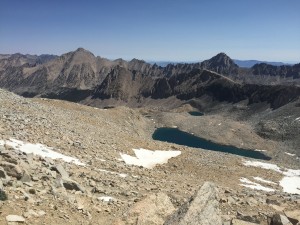
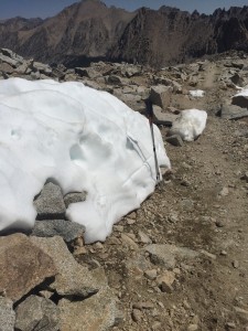
Starting down we continue with lakes and with streams and with tundra and with flowers and with a little bit of snow on this north side and I am going to descend way down to 9500 feet into Kings Canyon. At this point going down to 9500 feet only means you get to go up again but the lower I get the more beautiful it gets.
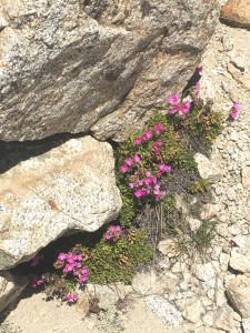
![Polemonium eximium (skypilot or showy sky pilot) is a perennial plant in the phlox family (Polemoniaceae) that grows at high altitudes (mostly above 10,000 feet (3,000 m)). It is endemic to the Sierra Nevada in California where it grows in the talus of the high mountain slopes.[3][4] Wildflower enthusiasts consider it to be among the best of the Sierra wildflowers, and highly rewarding to find](https://farm-life.net/wp-content/uploads/2015/06/IMG_0308-300x225.jpg)
Wildflower enthusiasts consider it to be among the best of the Sierra wildflowers, and highly rewarding to find
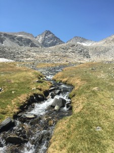
All the little run offs and streams I am passing are feeding into a river that goes right along the trail for a long ways. Never have to cross this river as the PCT bends up and the other way.
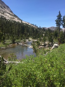
There are mountains on either side as I continue down Kings Canyon.
Eventually the trail heads up and it heads up very steeply. Everyone I talked to found this section that leads to Kearsarge trail and Kearsarge pass more difficult than the trail leading to Forester Pass. Get to the Bullfrog Lake trail and in .5 miles see Bullfrog Lake and a dear browsing.
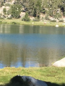
More of Bullfrog Lake. We camp about .5 miles from this point. Beyond Bullfrog Lake and just before Kearsarge Lakes. What a day!! Over the highest point on the PCT. Picture moments everywhere I looked. Paul, Sam, and I hoped to make it to Onion Valley to be picked up by Lenora but there was no way. We still had 6 miles left with a 1000 foot climb and we were beat.
