The “crew” is going to ascend Mt. Whitney and a couple of them are feeling a little under the weather. I am not going to ascend Mt. Whitney and feeling fine and so I get up early in the morning to start my hike towards my big apprehension point: Foresters Pass. Have no plans to ascend Foresters today but will hike to the point where the real ascent starts.
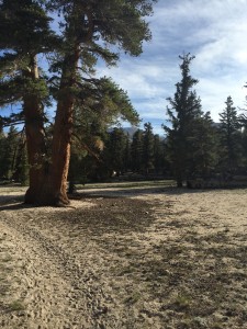
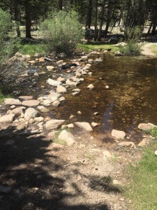
A big part of the PCT in the High Sierra’s in addition to the passes are the stream crossings which can be very dangerous. You are advised to try and forge all streams early in the morning before the run off from the snow melt starts. Here is my first stream crossing. I managed it without issue.
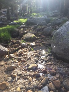
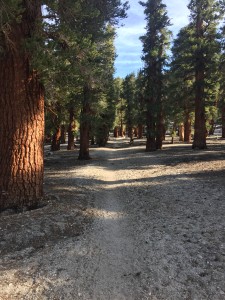
There is a minor ascent up to 11000+ feet and then back down
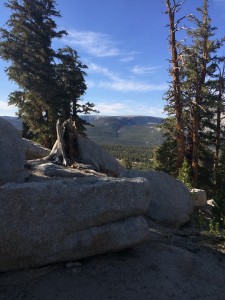
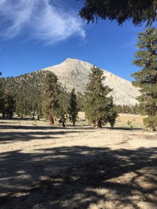
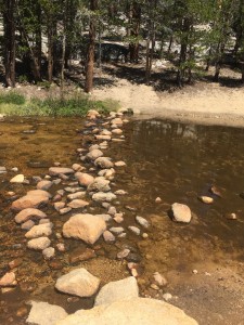
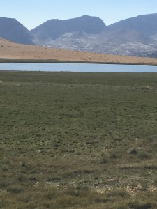
If I had not made the decision at Mt. Whitney, I would have to make it about now. This is looking from a Meadow towards Mt. Whitney and this is about where the trail forks. I took the path less taken (at least today) and did not go to Mt. Whitney. I will do that in another year with Lenora. However right here I ran into a surprise. Paul and Sam where camping in this meadow and had done Mt. Whitney yesterday. They were now heading towards Forester Pass with me. They also are going to camp at Tyndall Creek (my destination for today) and will ascend tomorrow. It is nice to see them again and to find out that Sam is ok. Last saw them at Kennedy Meadows where I was worried Sam had overheated.
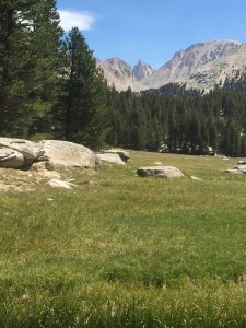
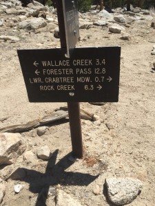
As you can tell from the pictures we now indeed have water everywhere. There are many times where small run off streams are crossing the PCT and all of them have clear cold water. Starting a bit of a climb again above the tree line and just down from the PCT is another lake.
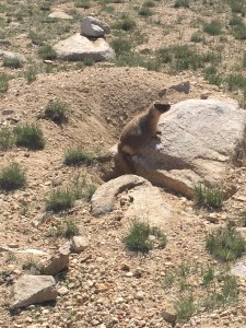
These cute little Marmot guys are everywhere.
Down from the lake I reach my next camping spot at Tyndall Creek. The biggest stream so far. I did not get a picture of the fording point but it was much like the others. The rocks I had to jump from and to where pretty close together and for the most part above water. I again managed not to slip into the water. I am a little shocked at this. I have never been very well balanced 🙂
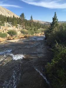
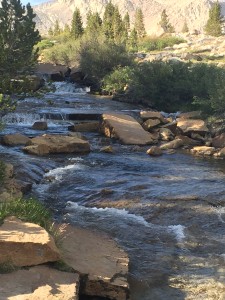
It was a nice place to camp. The water rushing down the stream could be clearly heard and it put me right to sleep. Tomorrow would be the big day to ascend Forester Pass, the highest point on the PCT.
Lenora’s Note:
Laundry, cleaning up from the cats trip to high elevation, stitching and watching now and again. The big question is; “Will Don attempt Mt. Whitney?” No way to ask so I have to watch his progress until it is clear he is giving it a pass. I would learn later he saved this part to do with me and I find myself full of anticipation and determination.